

The latest fall foliage report showed that Frederick County was at peak. So, we went to Catoctin Mountain Park to take a look. Peak is probably not how we’d have described what we saw! After spending some time hiking, we drove over to Frederick to have lunch and to take a walk through the small city’s downtown area.
Catoctin Mountain Park
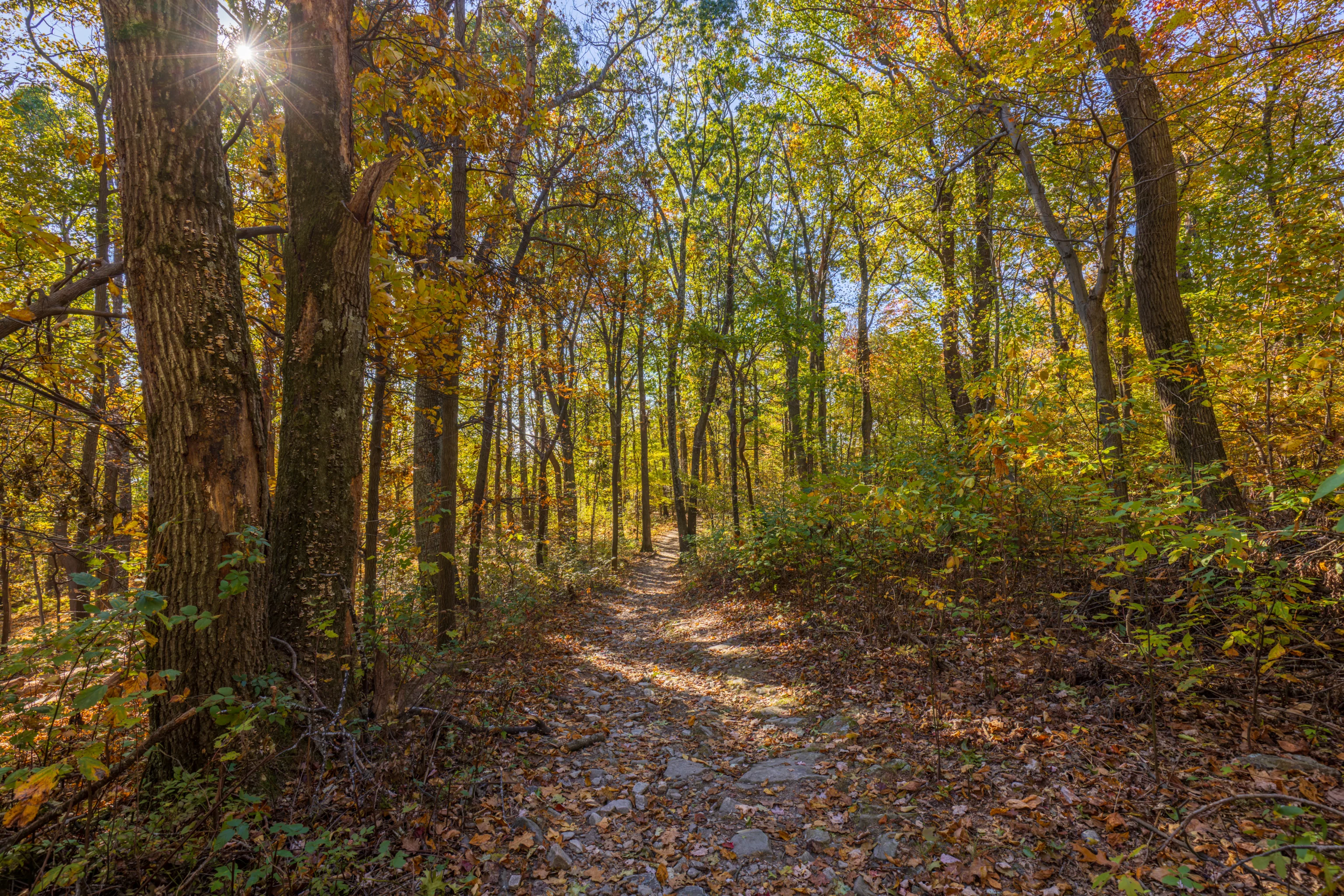
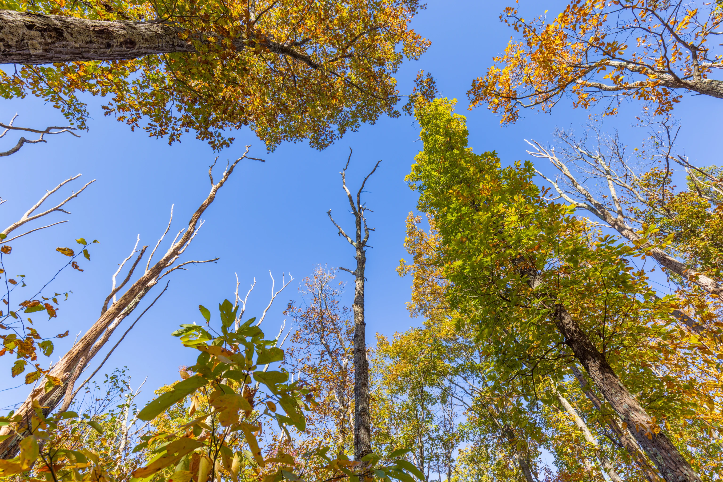
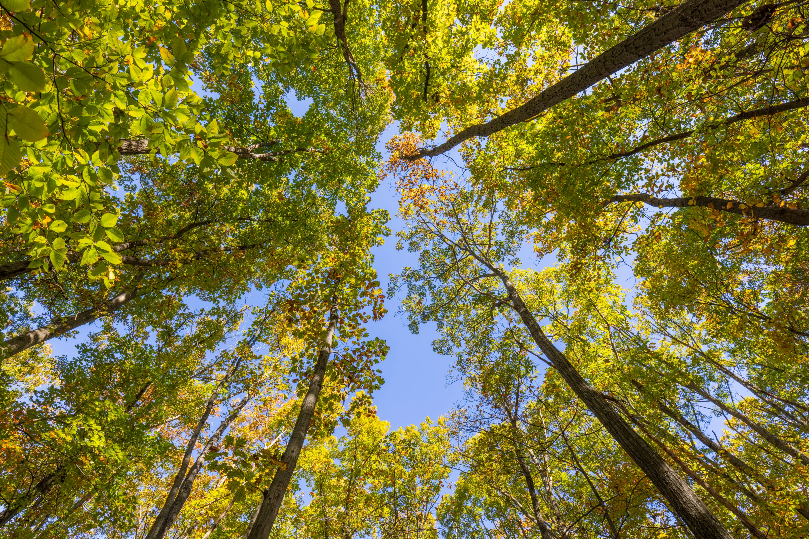
We arrived at Catoctin Mountain Park at around 9:30am, a bit of a late start but at least one that allows for more morning sunlight on the western side of the mountains. The lower parking areas around the visitor center were completely full! Which was fine as we intended to start at the parking lot closest to Thurmont Vista. Also, the foliage was mostly green at the visitor center’s elevation.
The Thurmont Vista parking area was mostly empty when we arrived. It wasn’t unusual as we’ve always observed that the lower parking lots are significantly busier early in the morning.
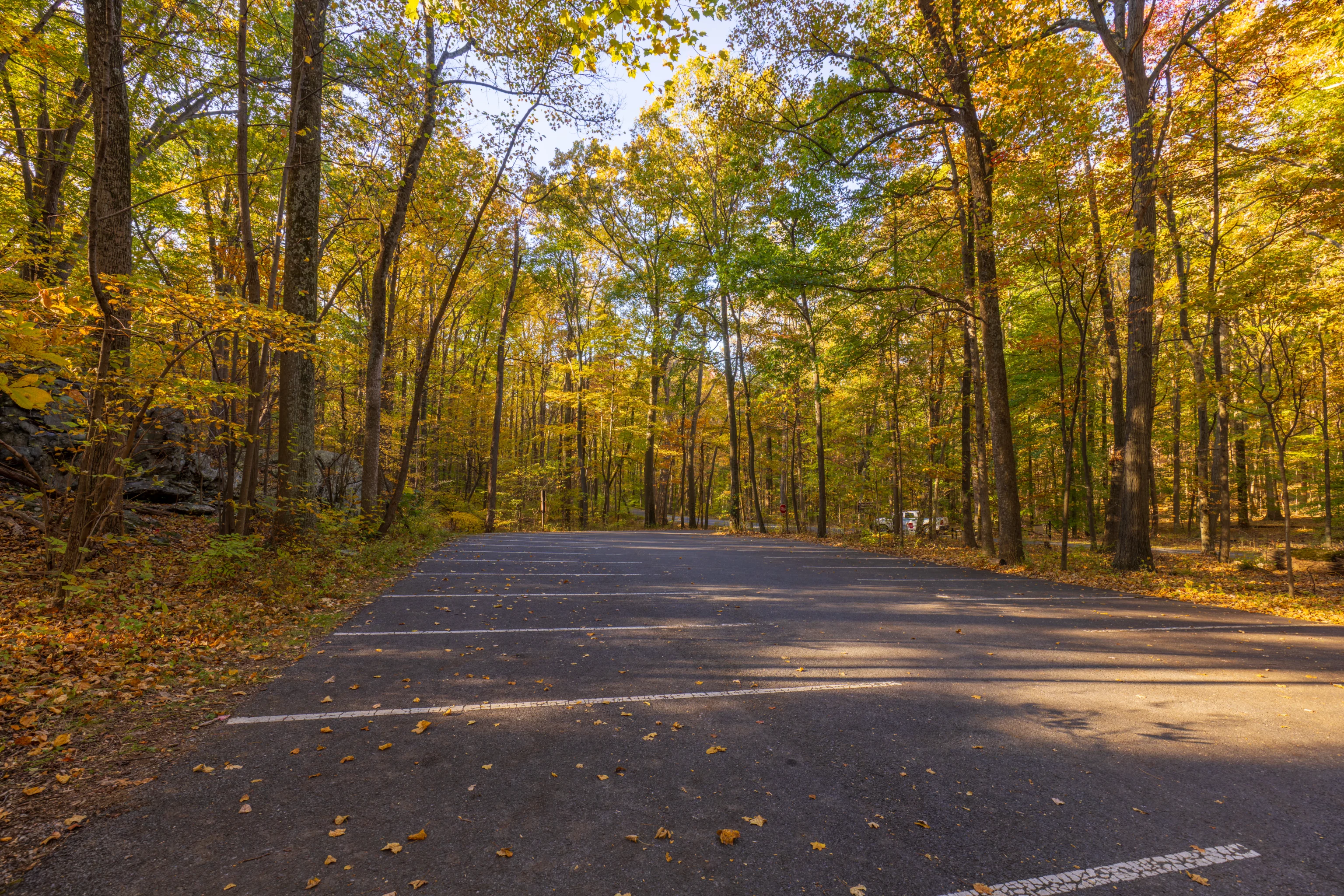
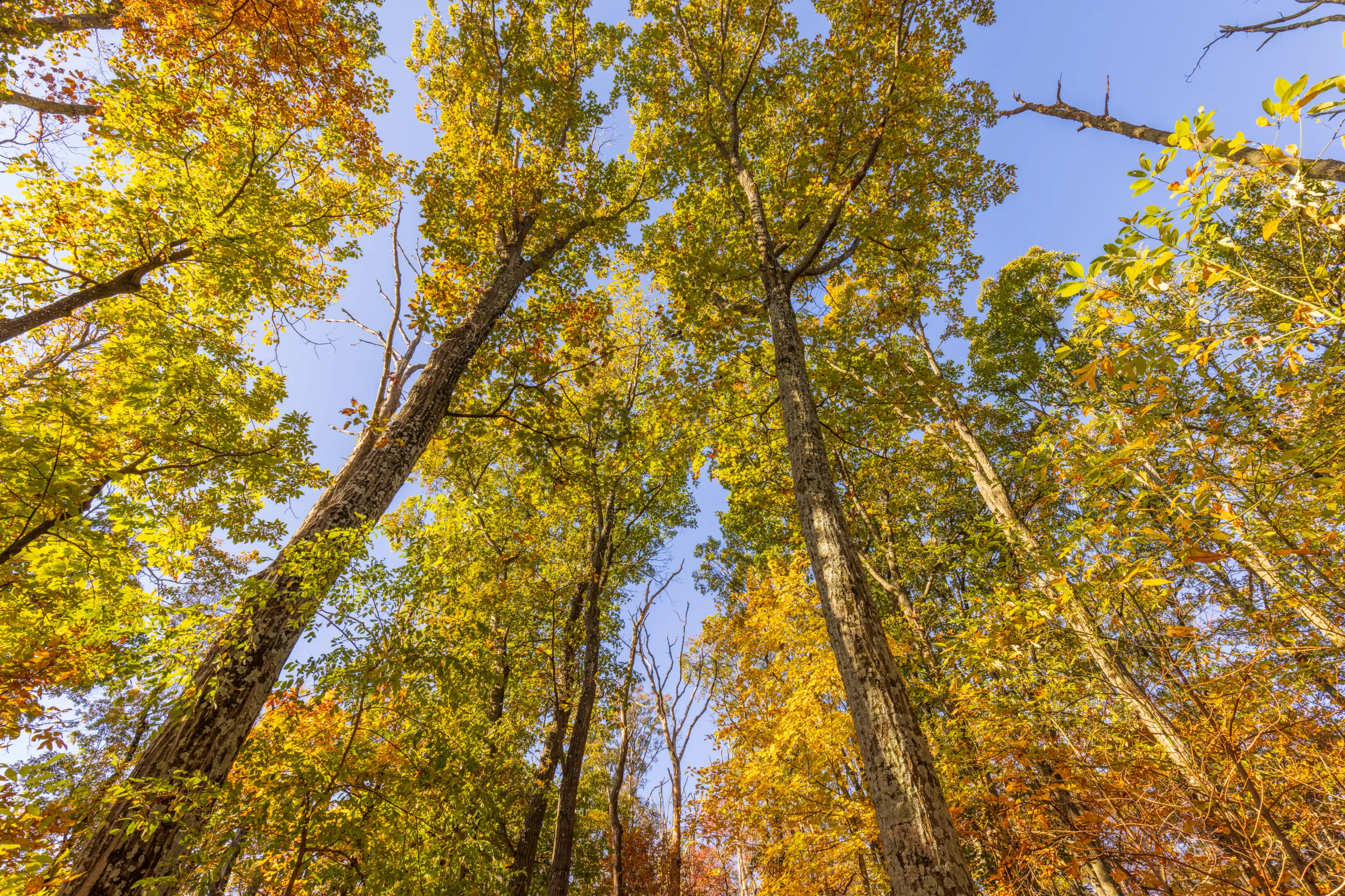
There was a good amount of yellow here at the parking lot, though also a lot of green.
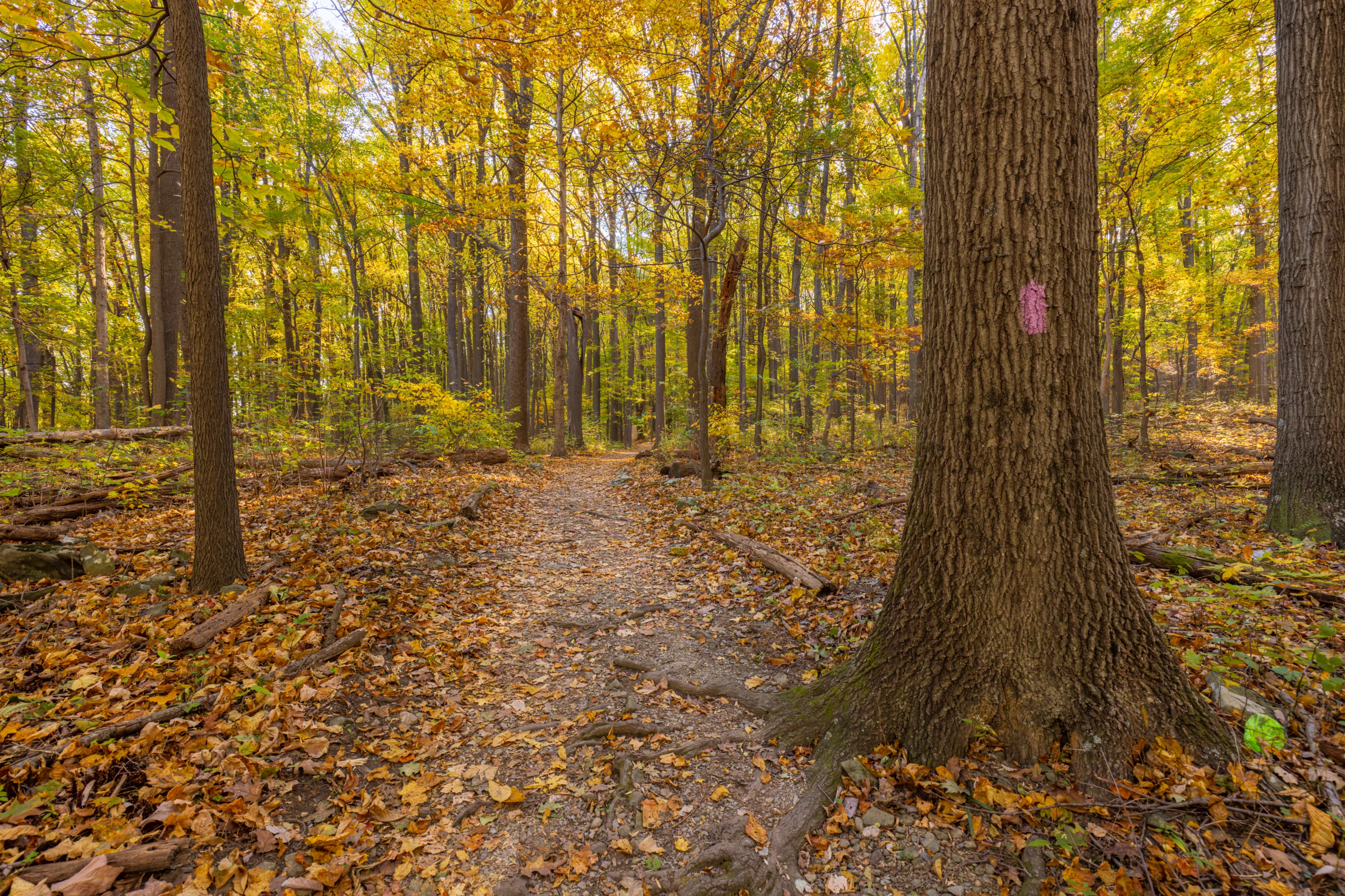
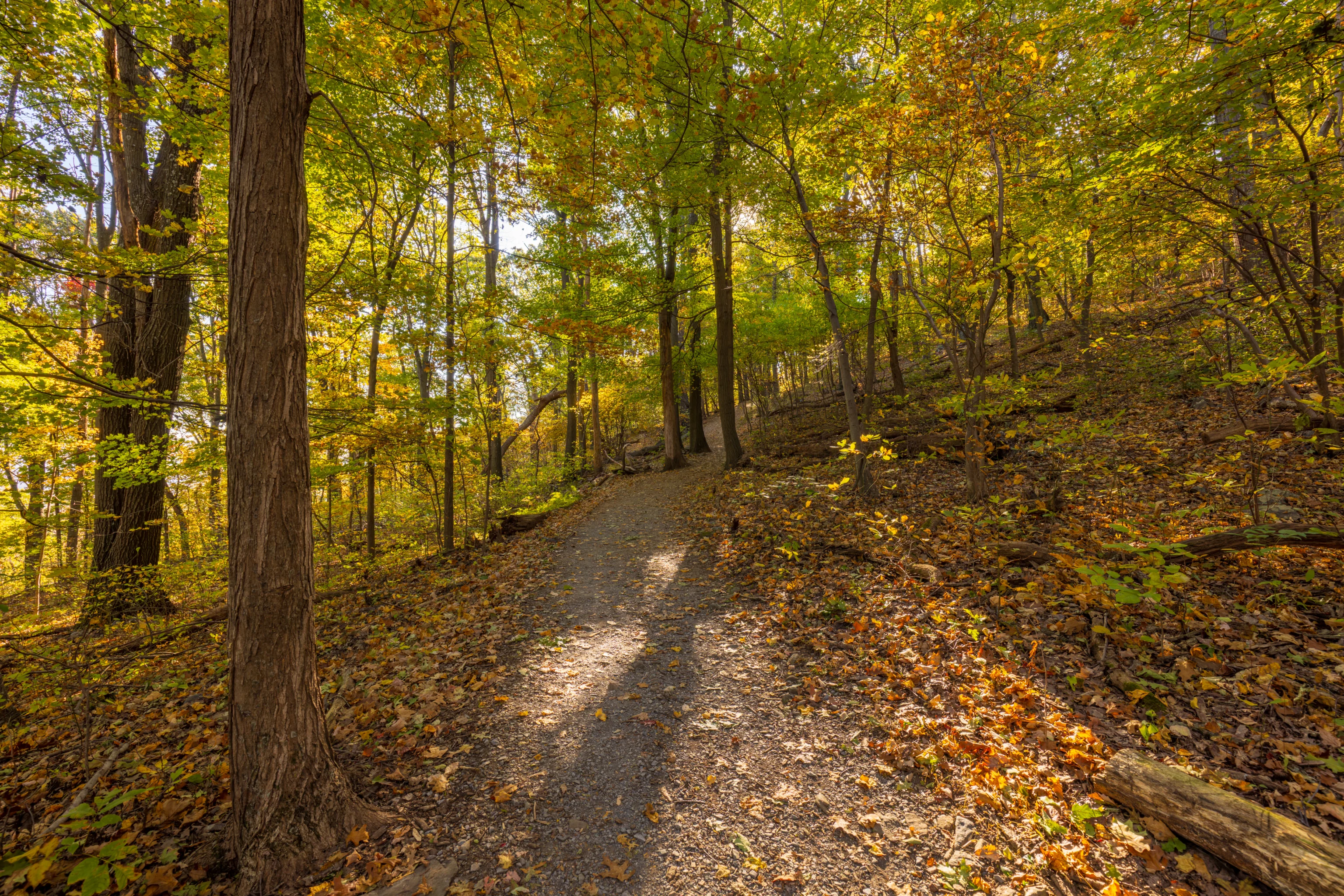
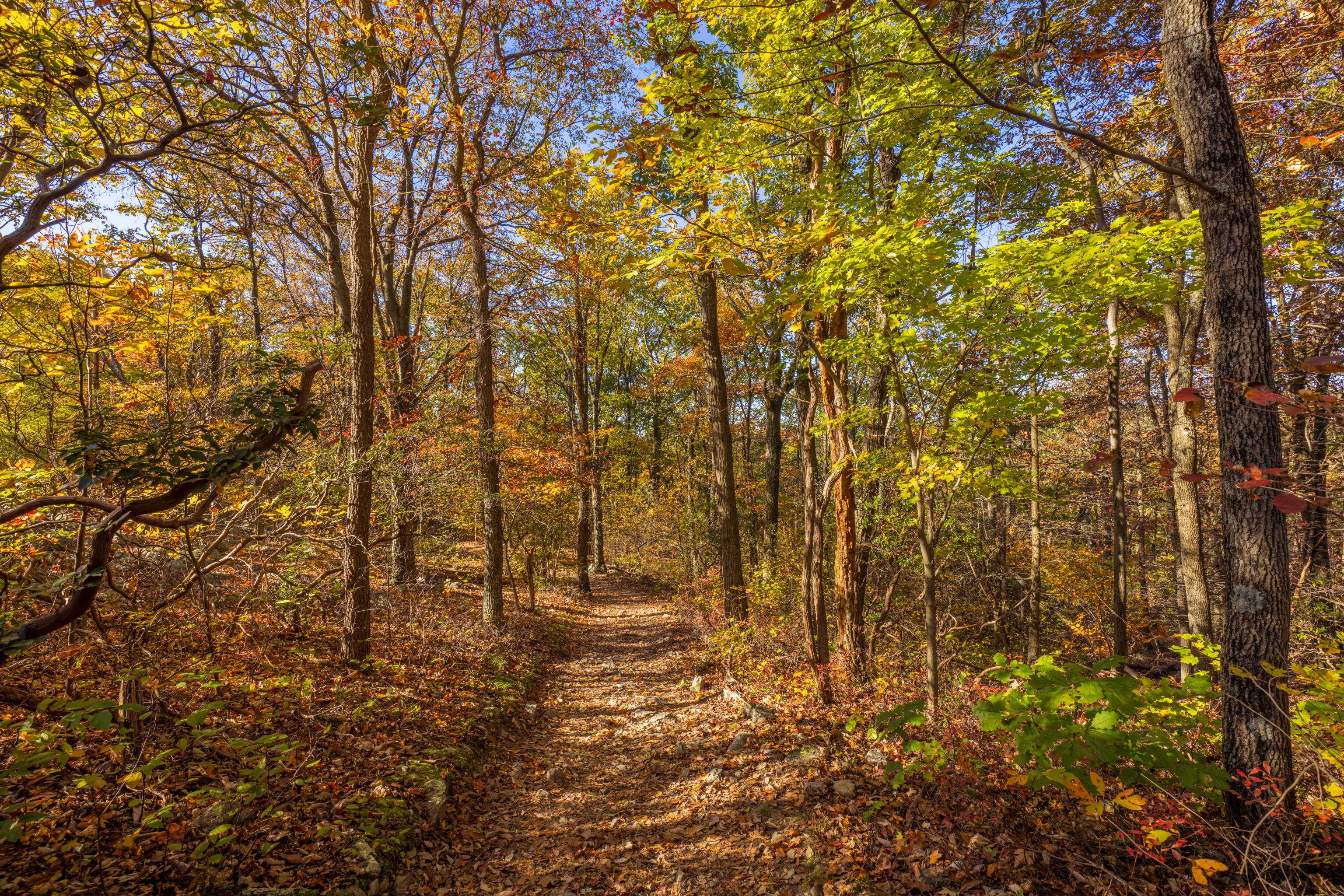
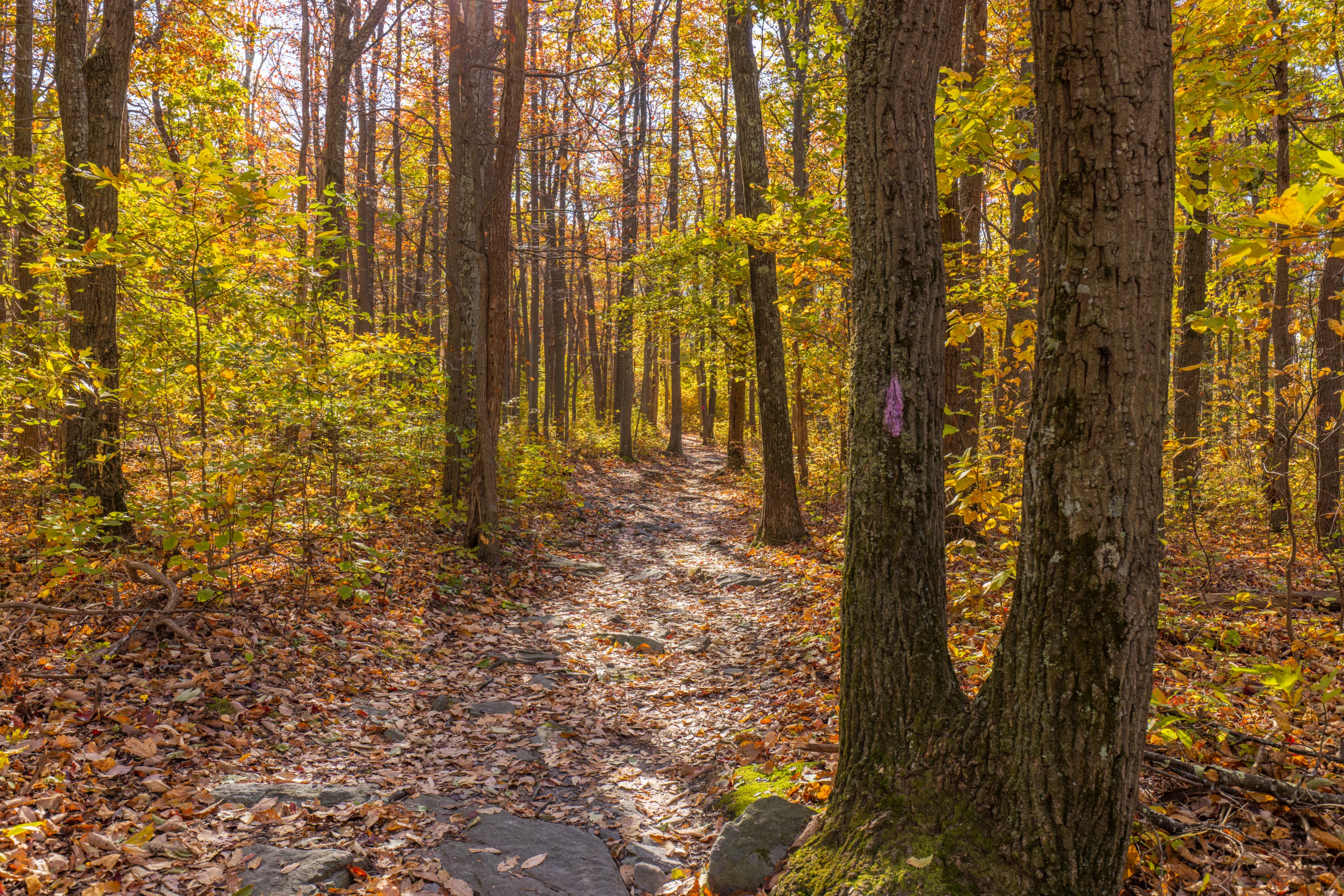
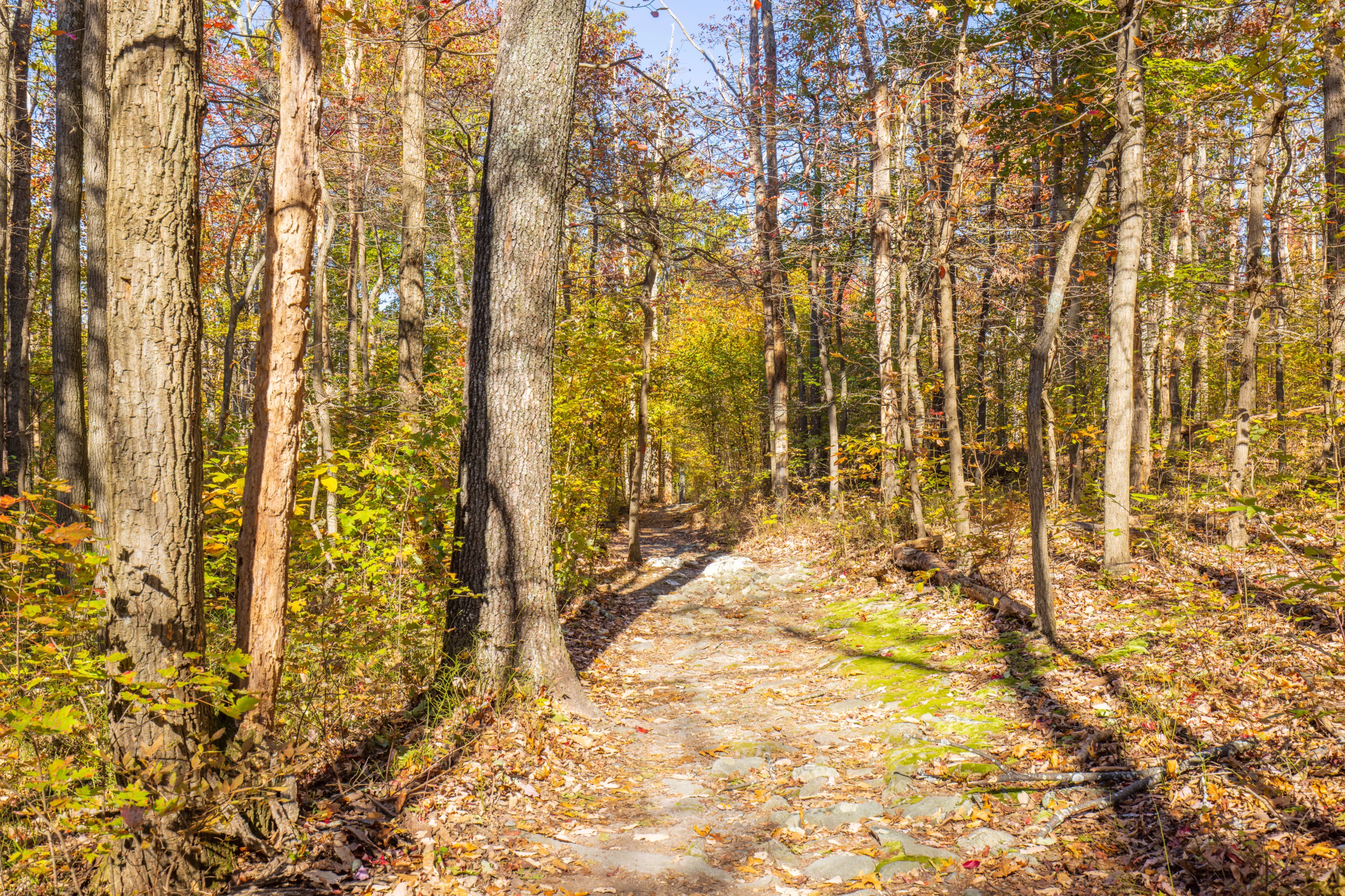
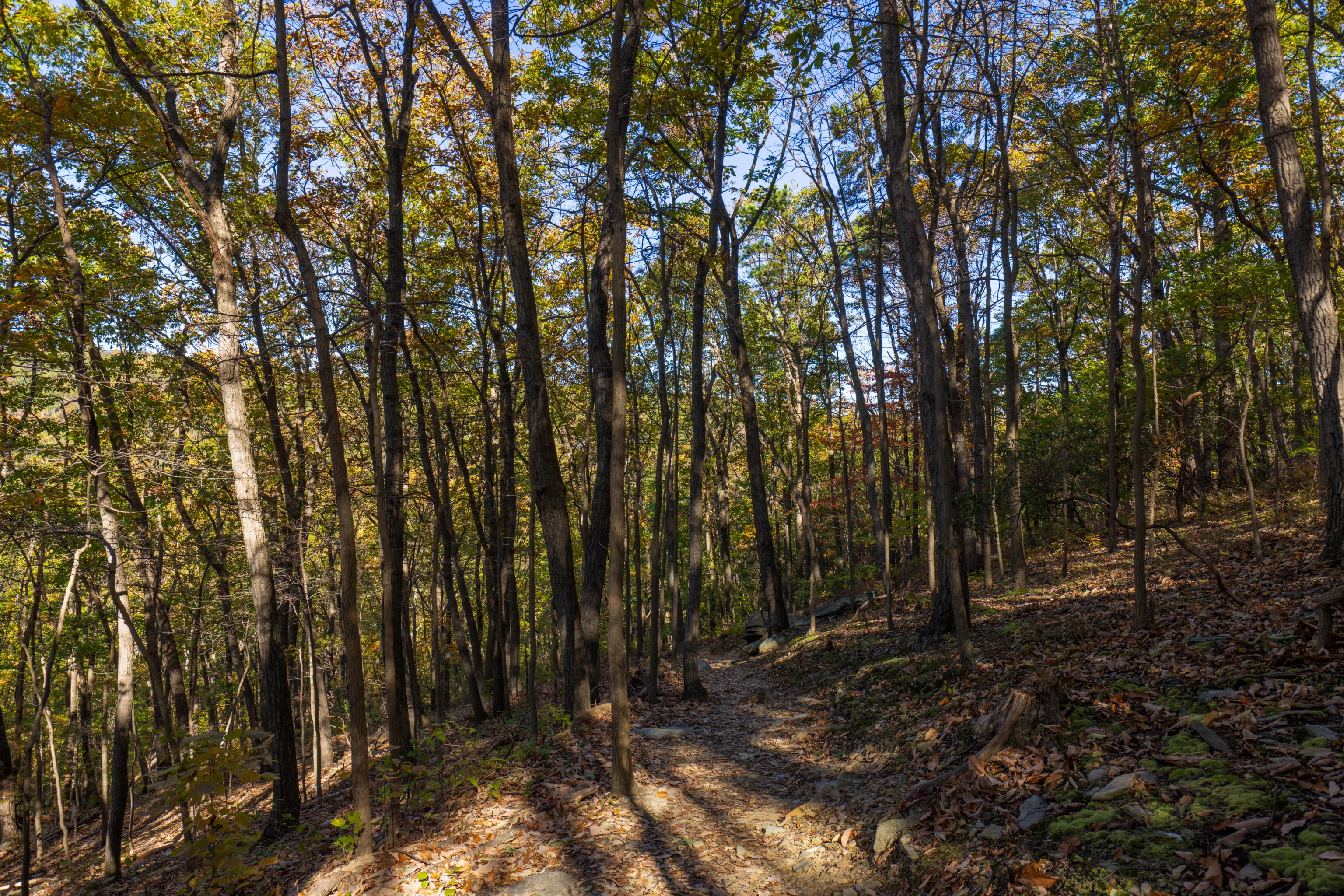
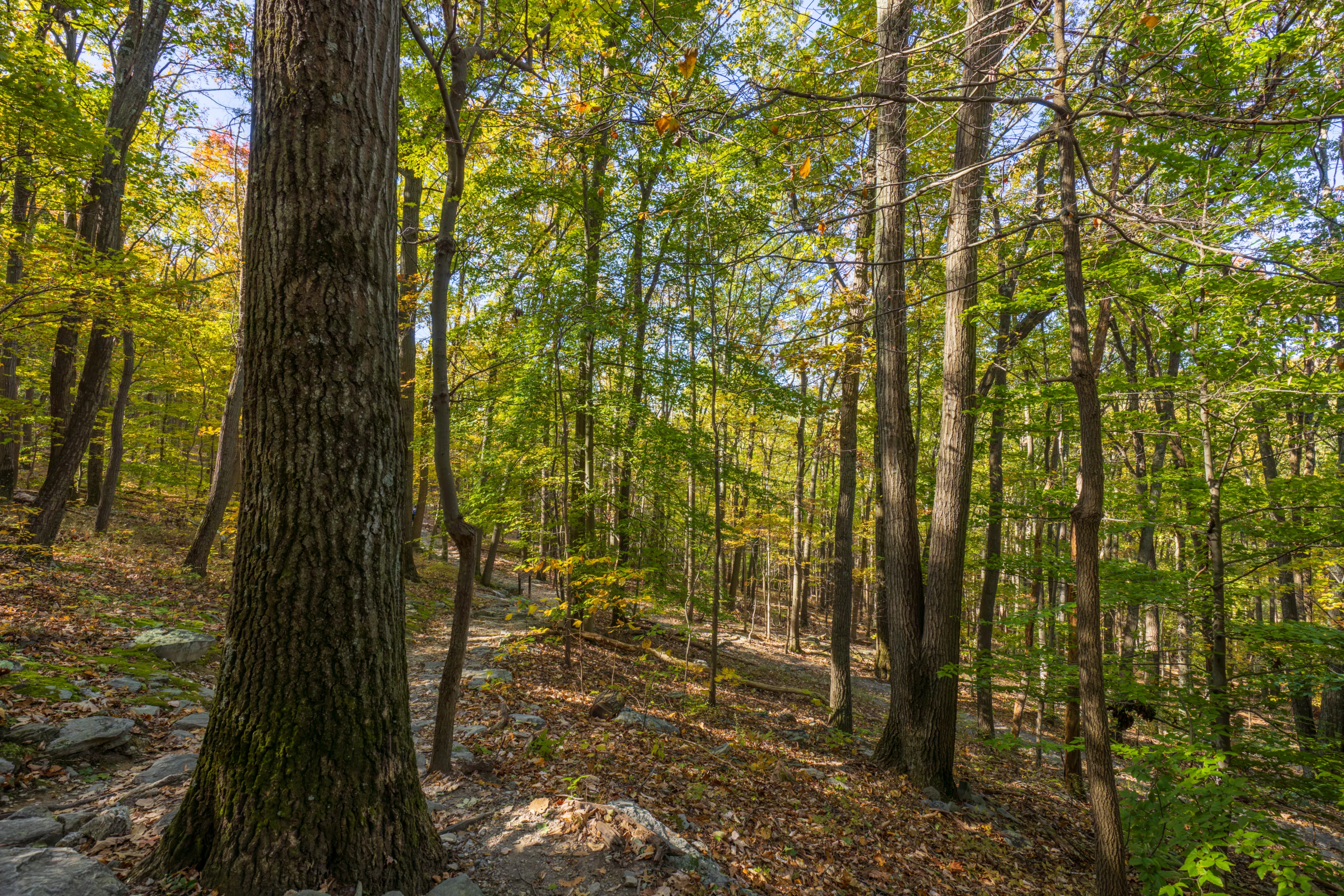
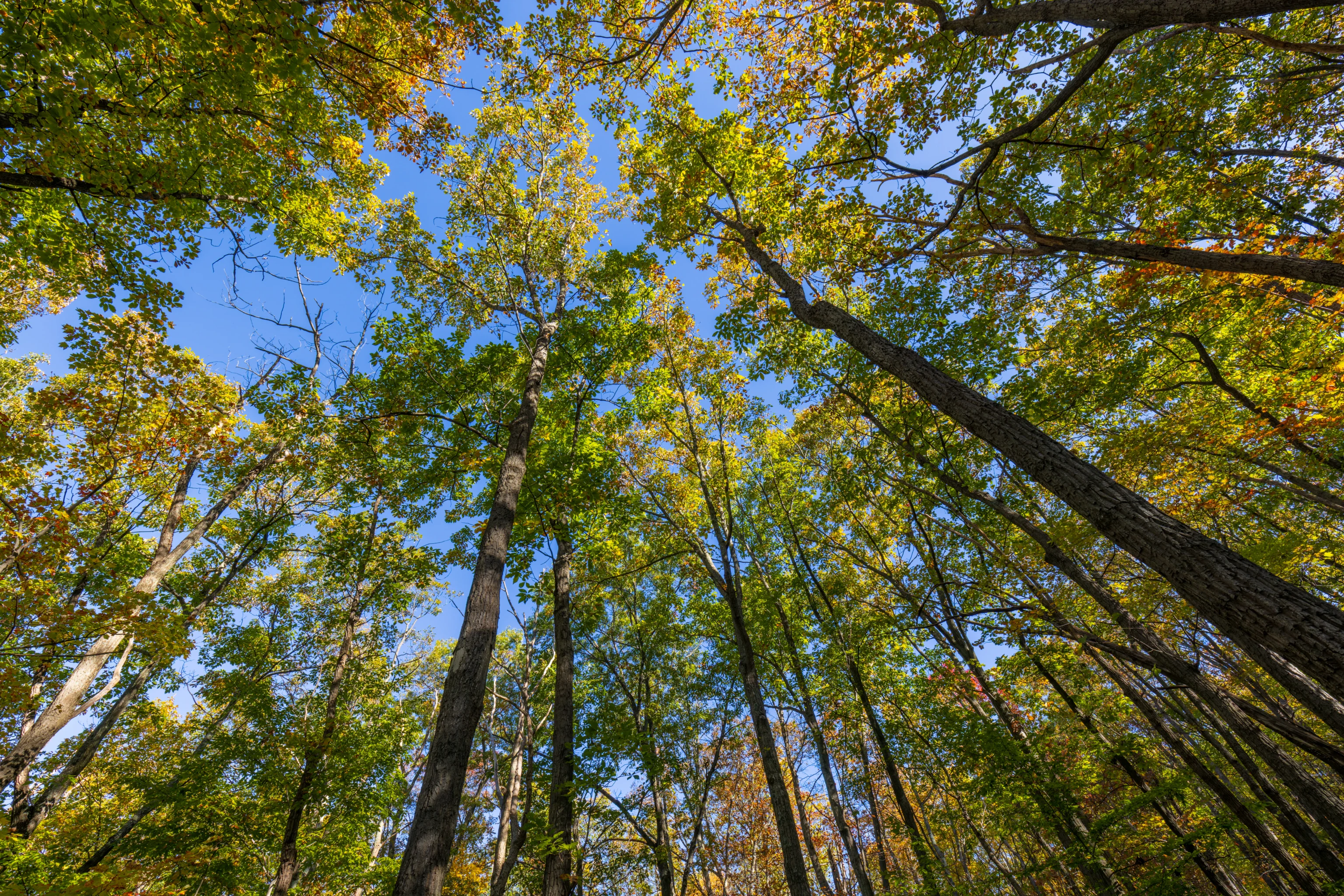
We started on the most direct route up to Thurmont Vista.
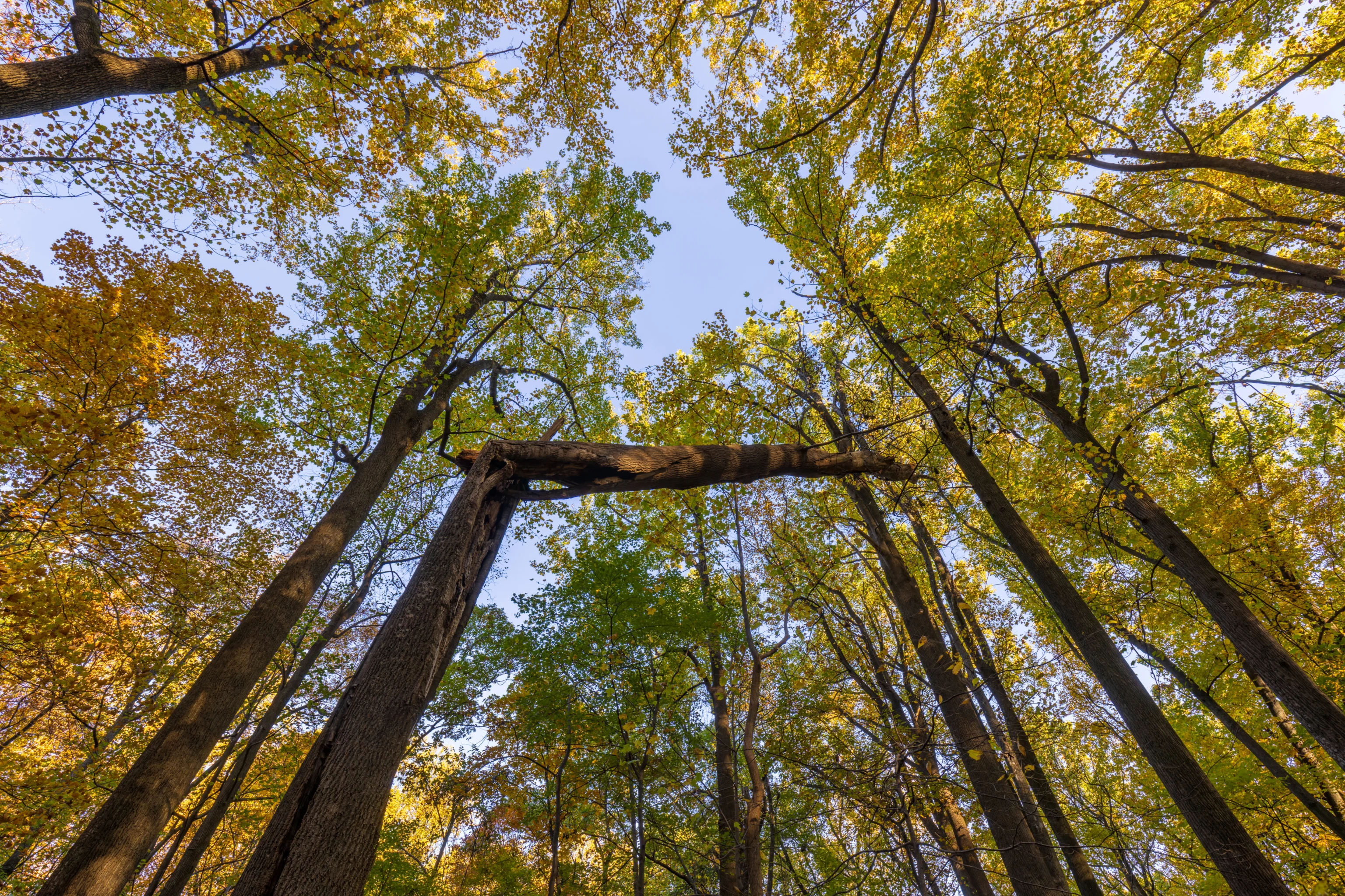
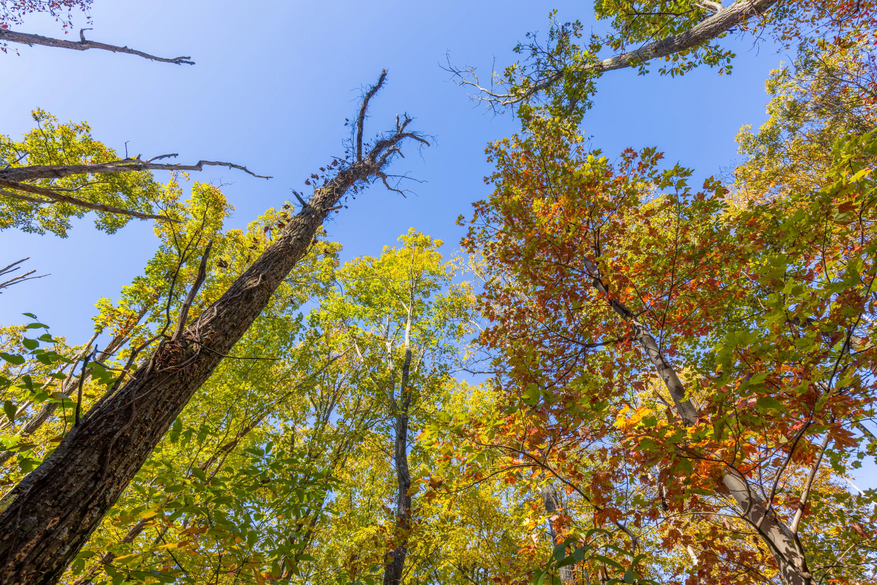
We definitely wouldn’t want to be under this tree when it finally falls to the ground! It was off to the side of the trail rather than directly above.
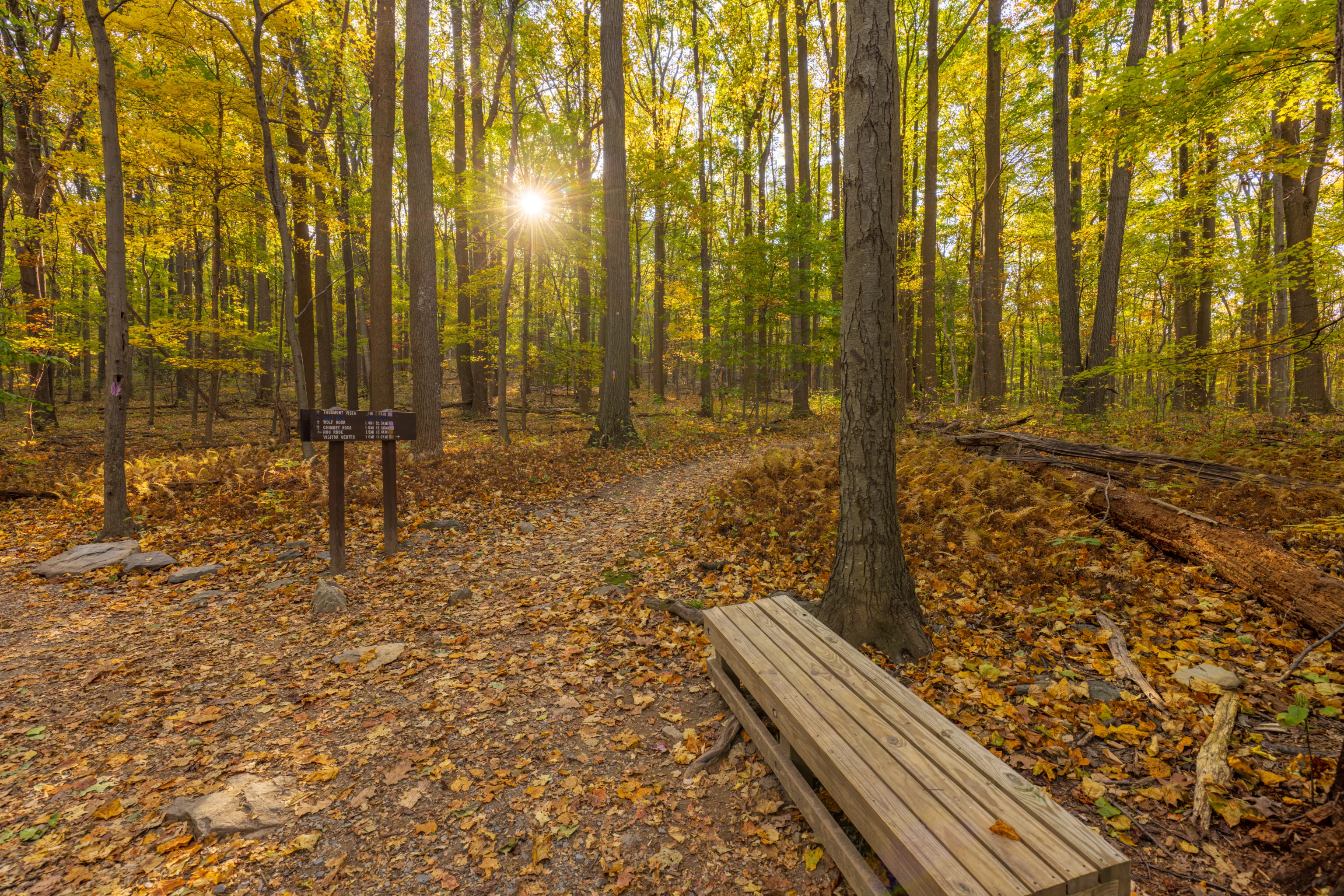
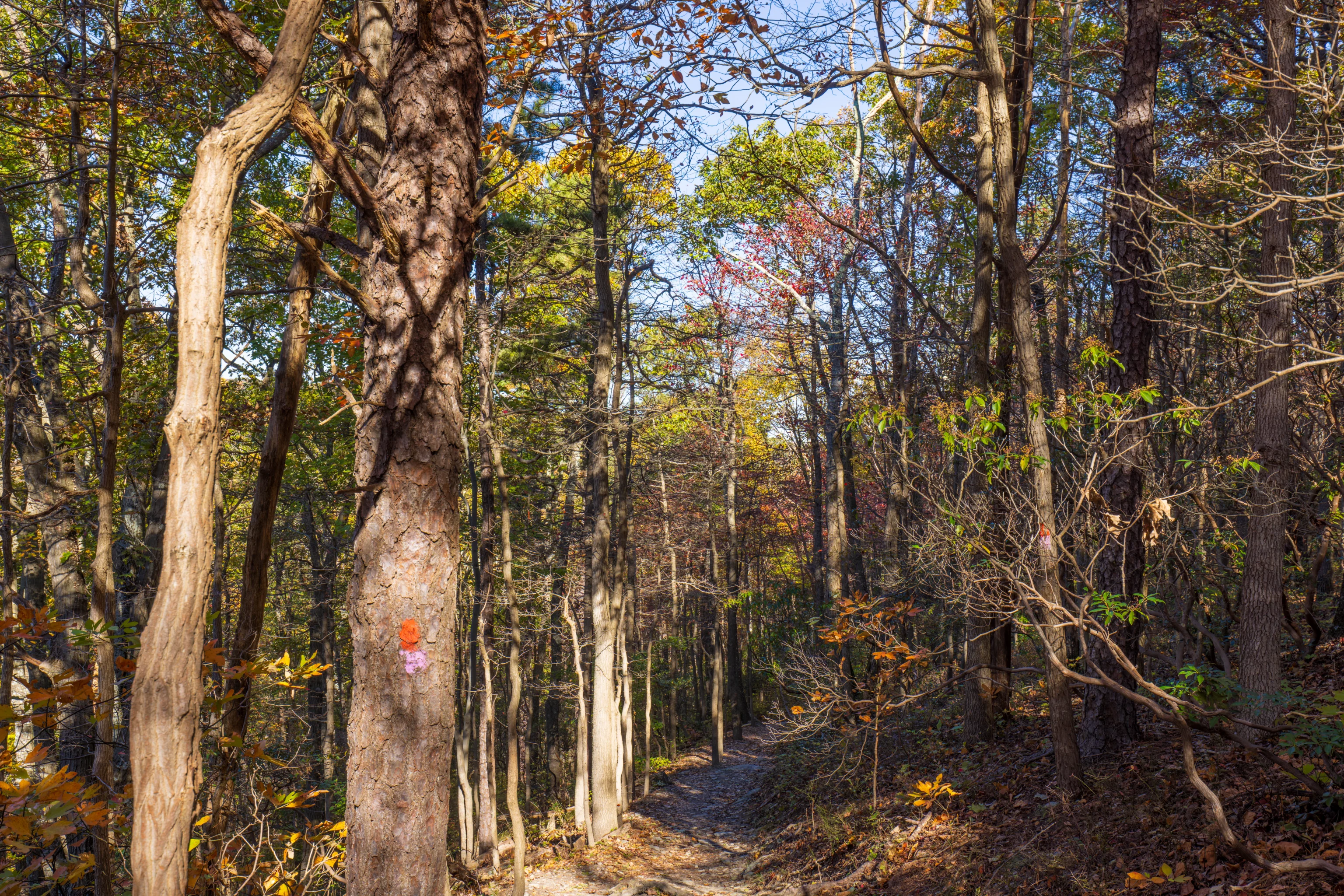
We noticed this new bench by the first junction not far from the parking area. At least, it is new to us. Our last visit was a year ago during fall foliage season. The colors were much better then!
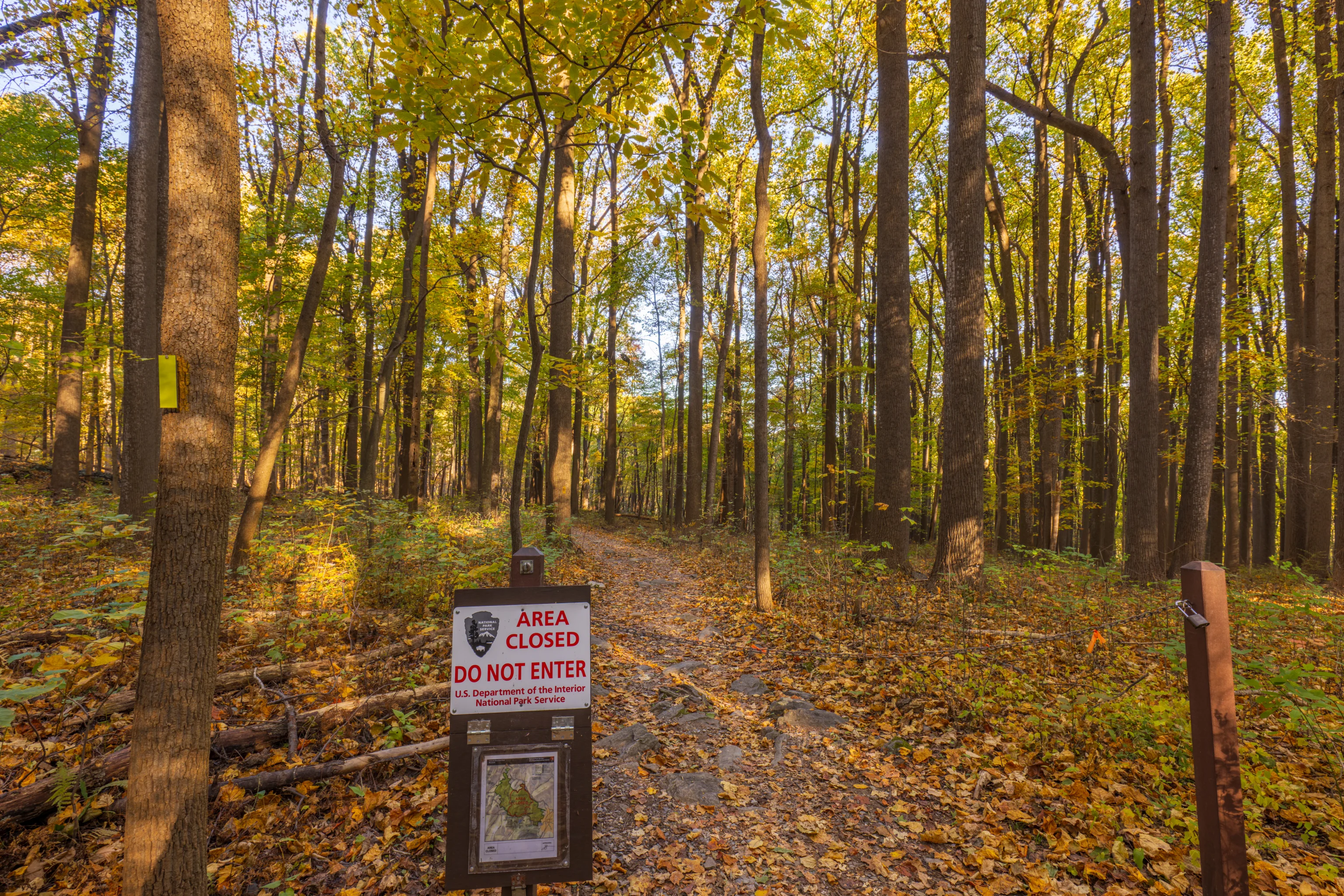
The north path at the junction, along with the park road past Thurmont Vista’s parking lot, were closed. Camp David is about a mile away from here and President Biden is there for the weekend, according to WDEL.
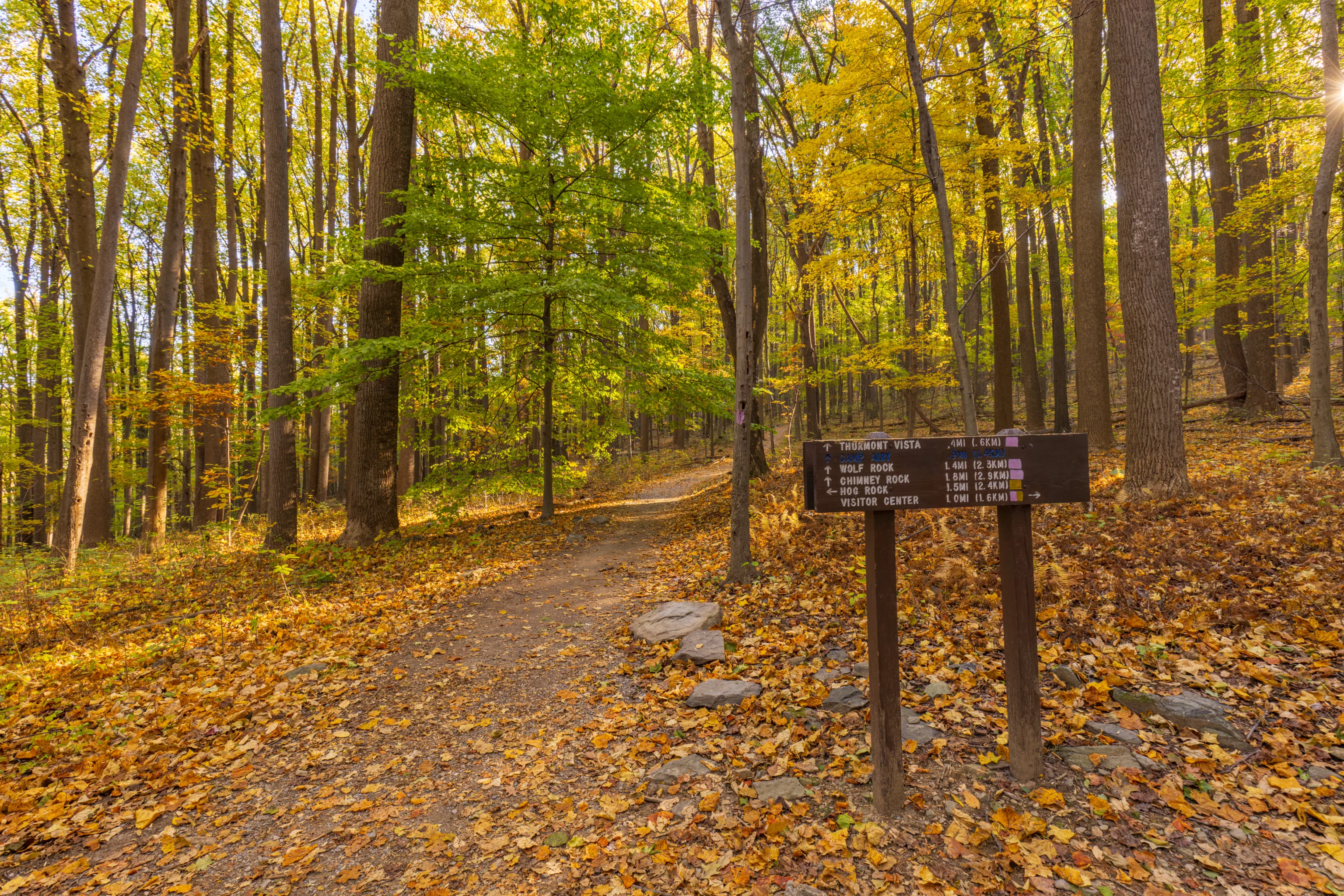
Thurmont Vista is less than half a mile from the junction. Camp Airy, labelled in blue, is an odd inclusion on this sign. Unlike the other destinations, which are trail distances, Camp Airy is as the crow flies. It does seem to be just under a mile away, however, it is about 800 feet lower in elevation with no trail access. Was there at some point in time some trail that just went straight down the mountain’s east side to the camp?
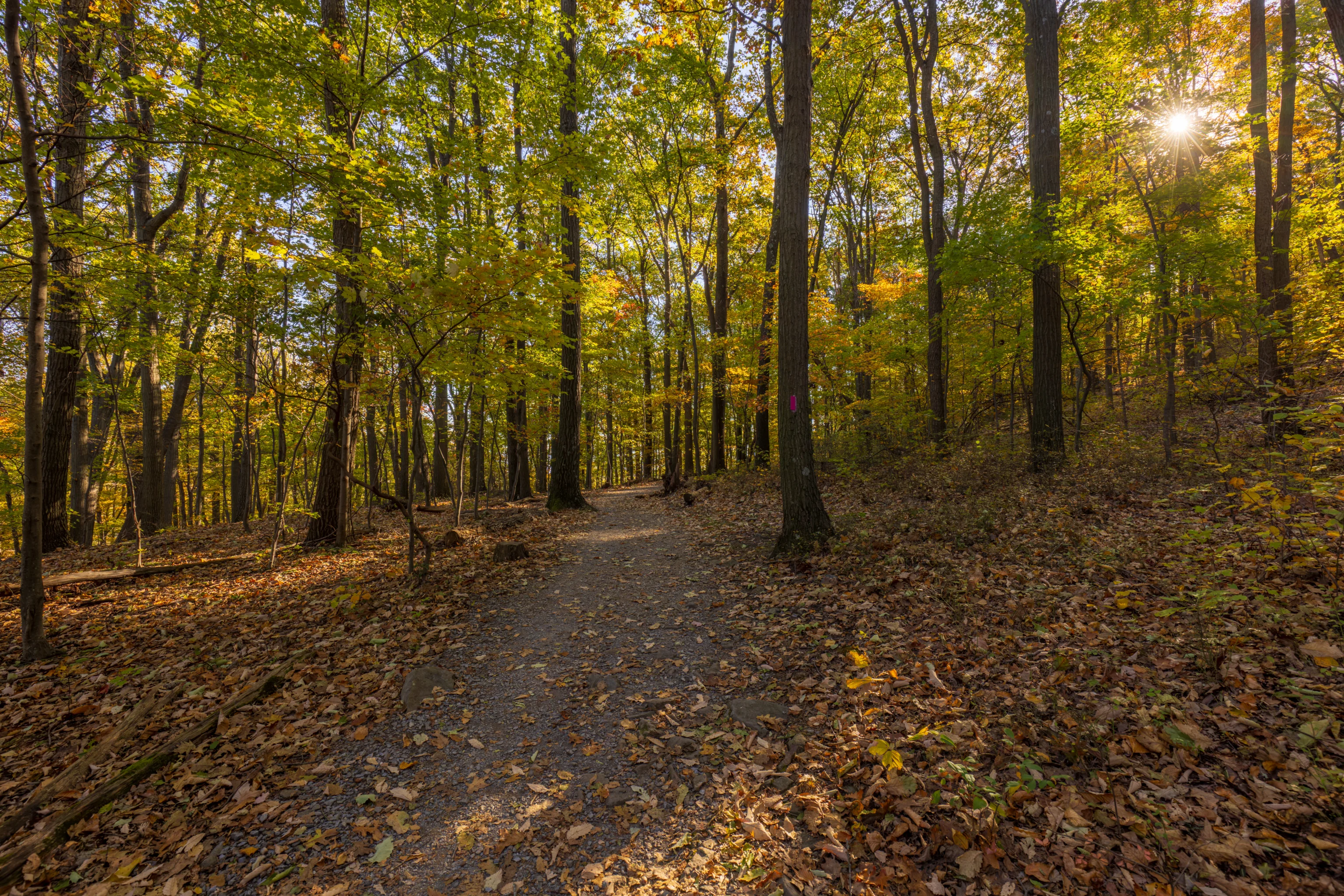
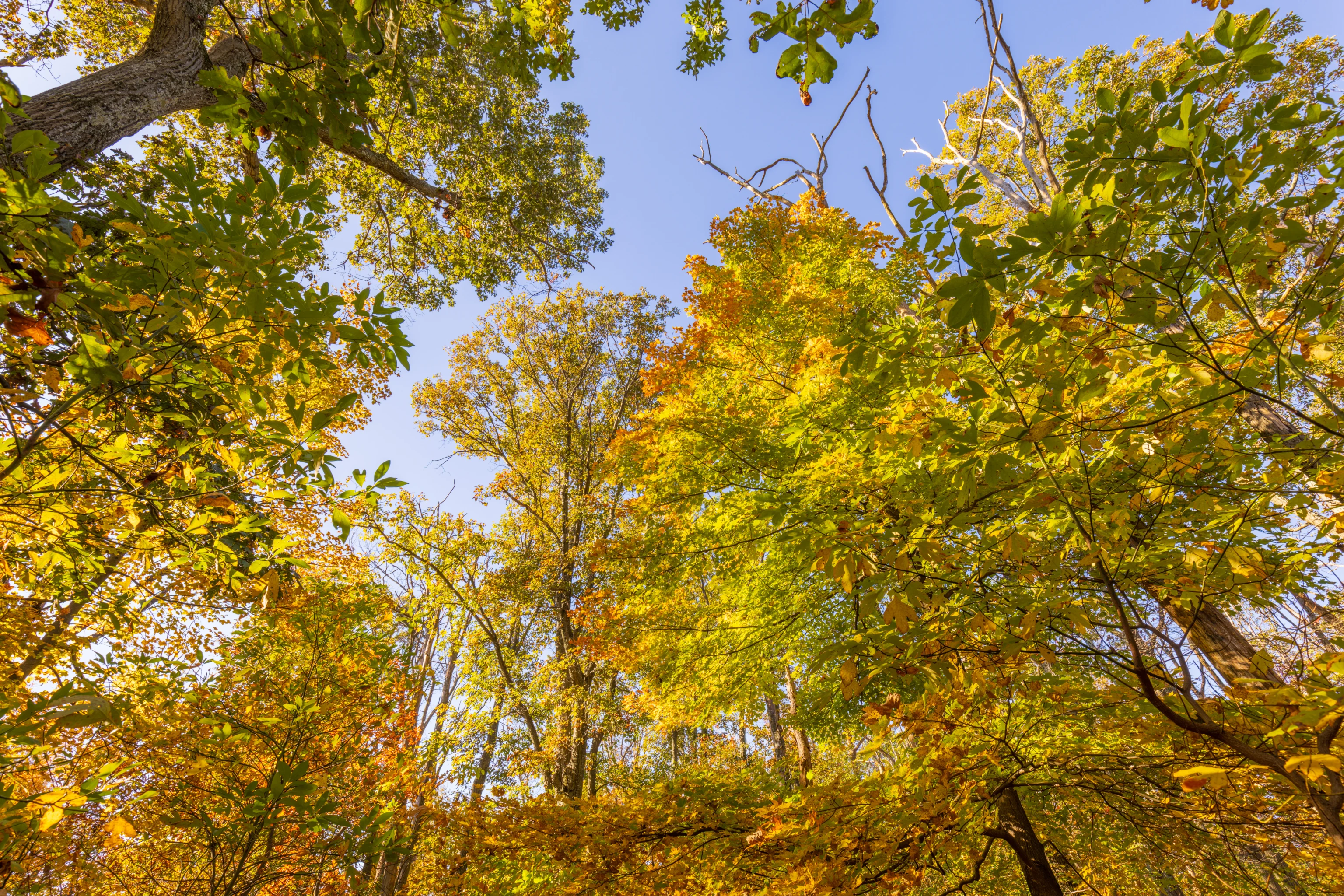
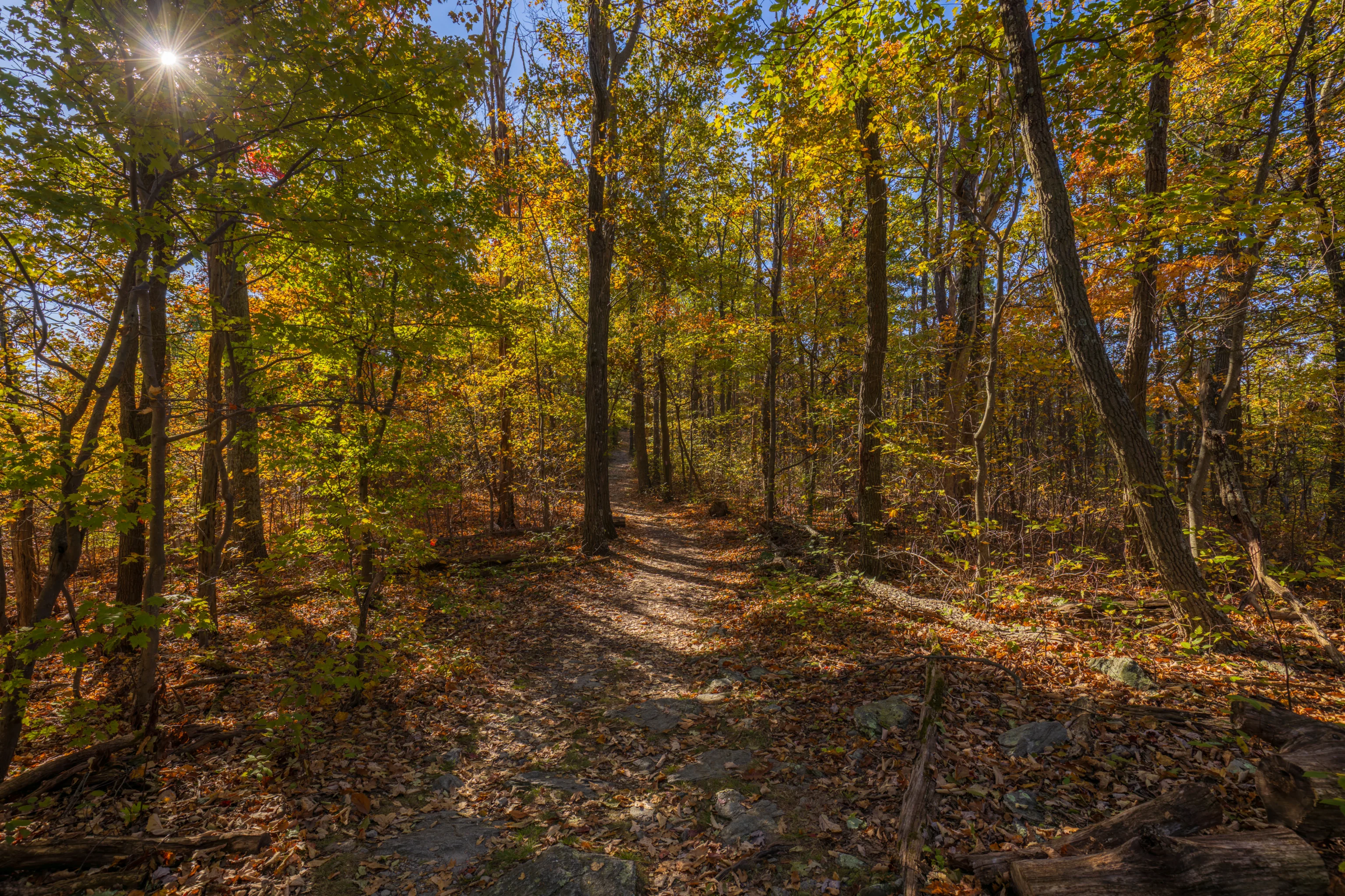
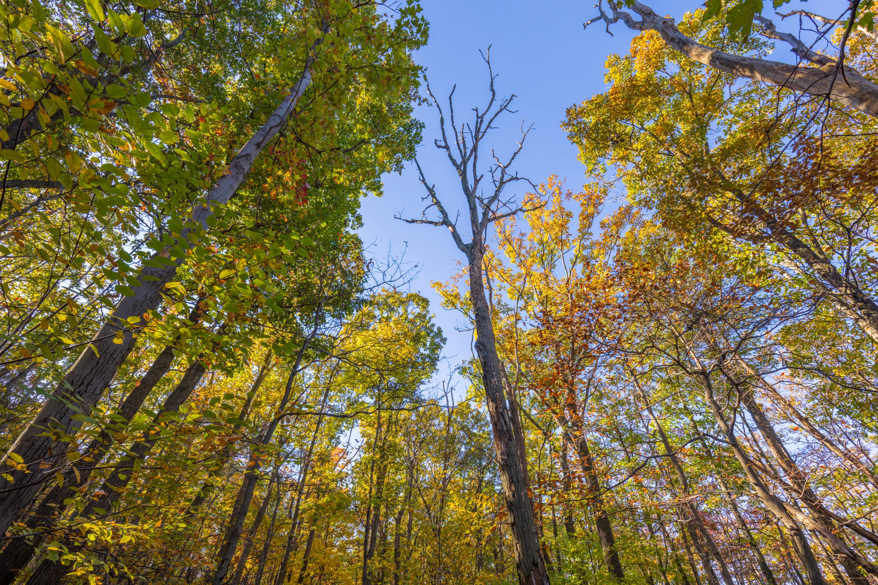
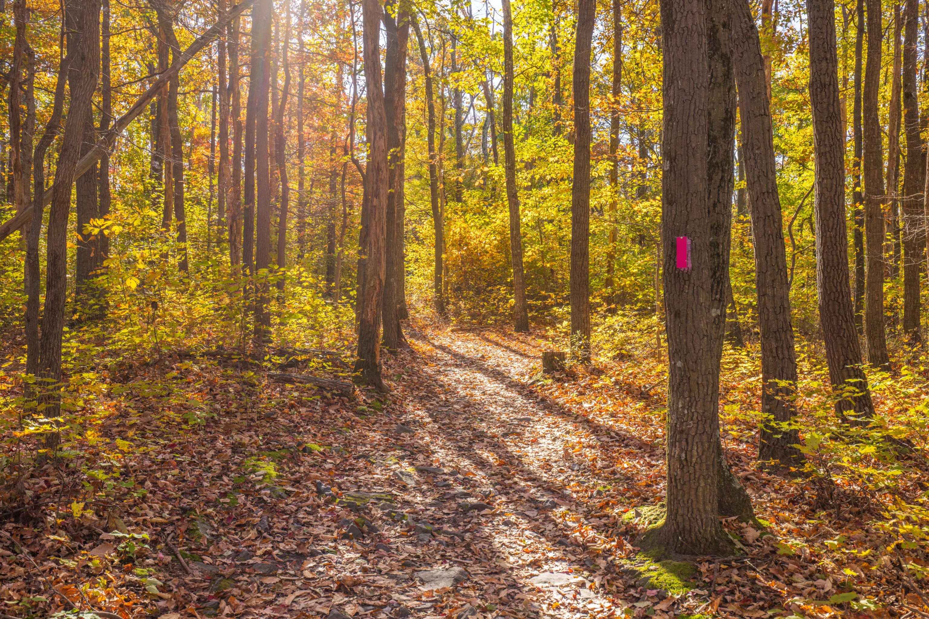
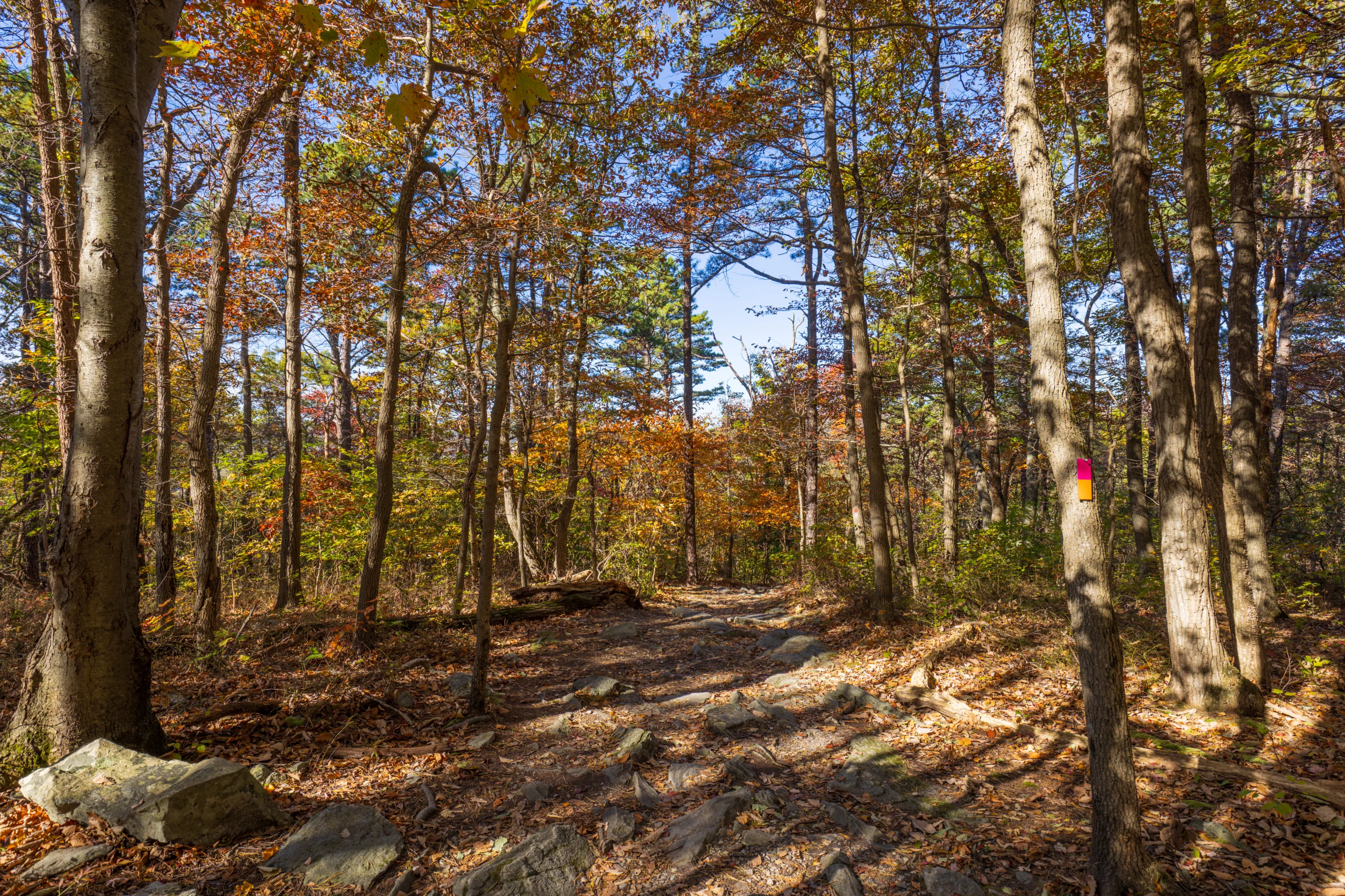
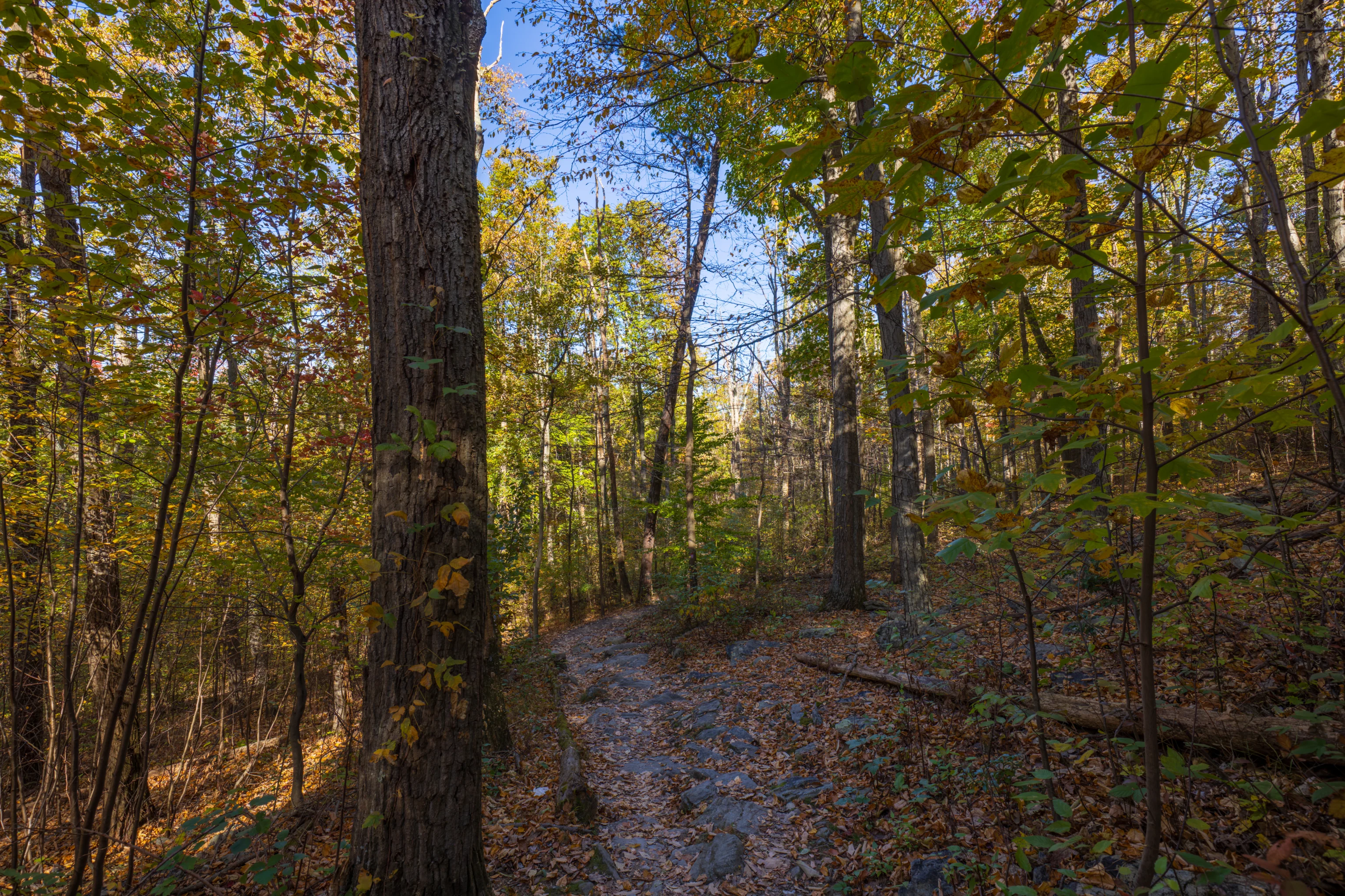
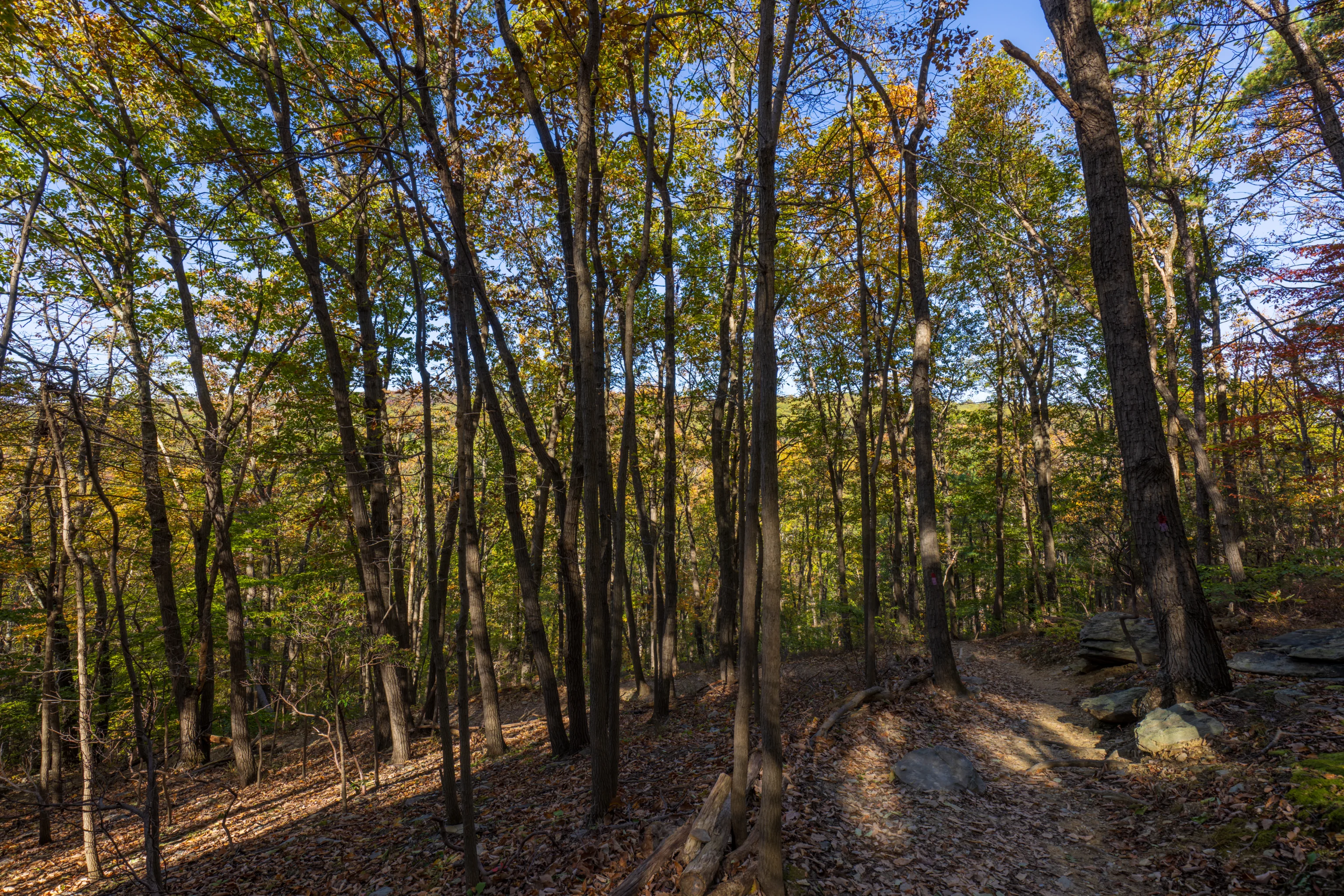
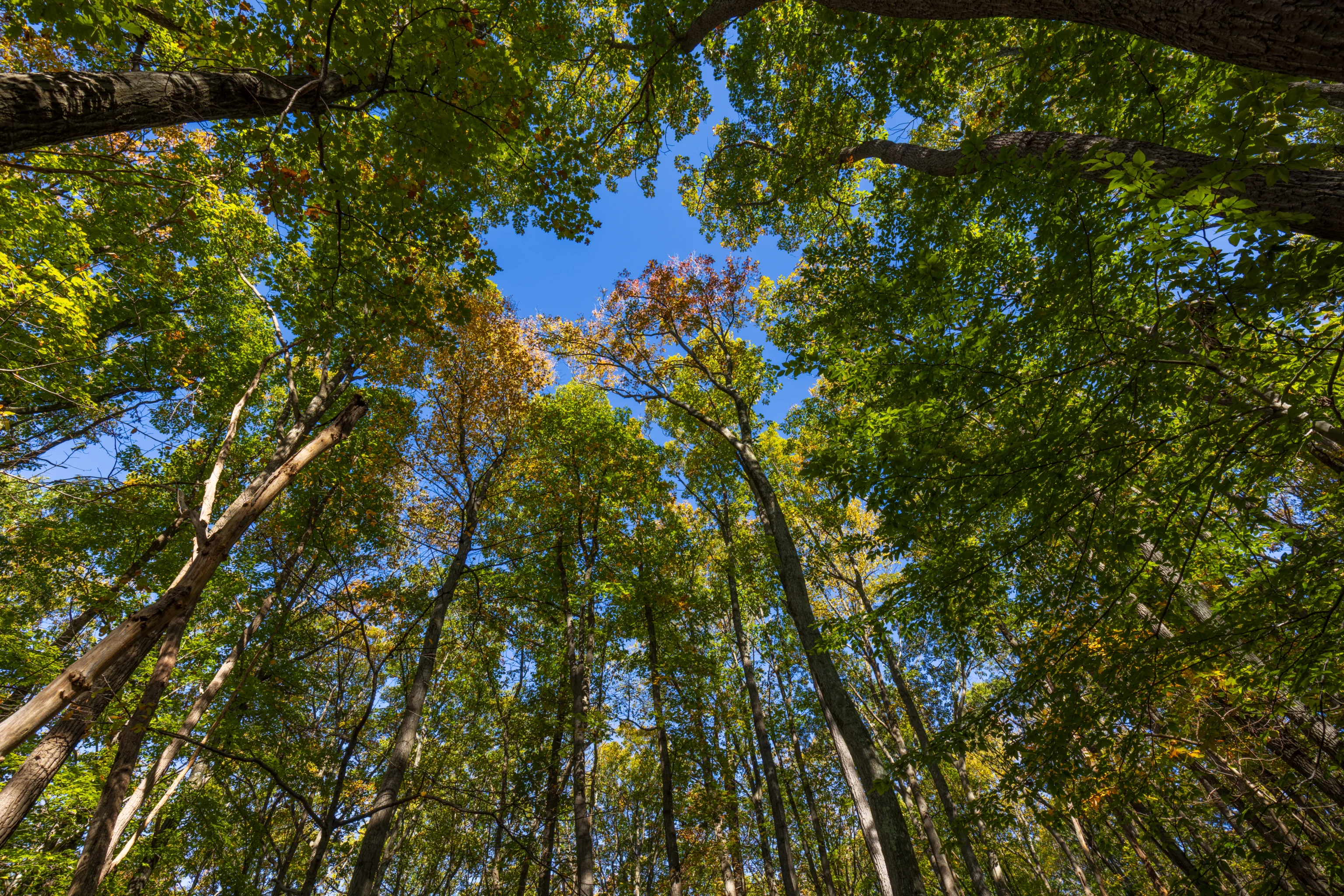
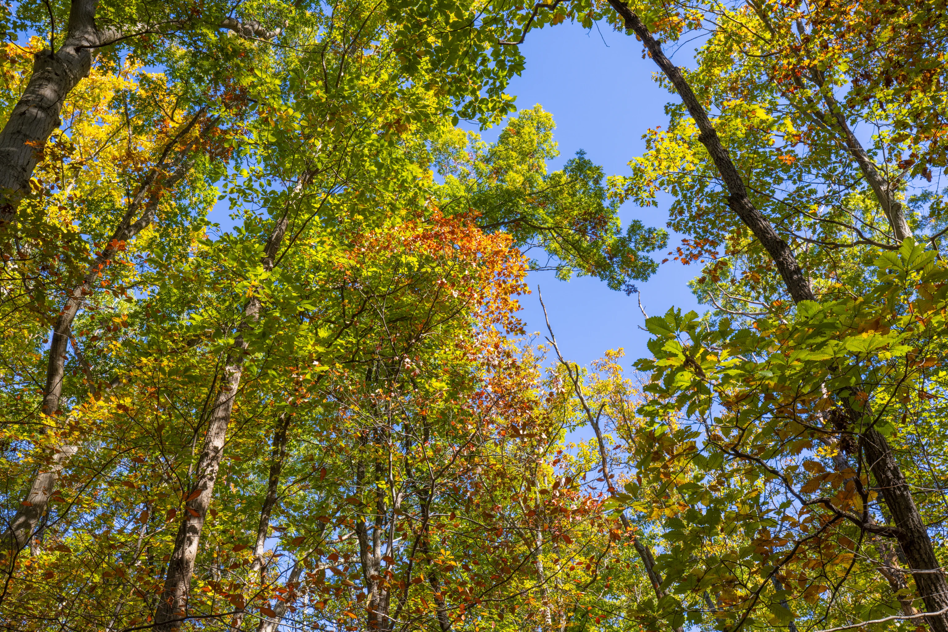
We saw quite a bit of green as we walked on the trail, with occasional spots of red.
There are only two steep sections of trail on the way to Thurmont Overlook, one of which is ahead. For the most part, the trail is pretty easy.
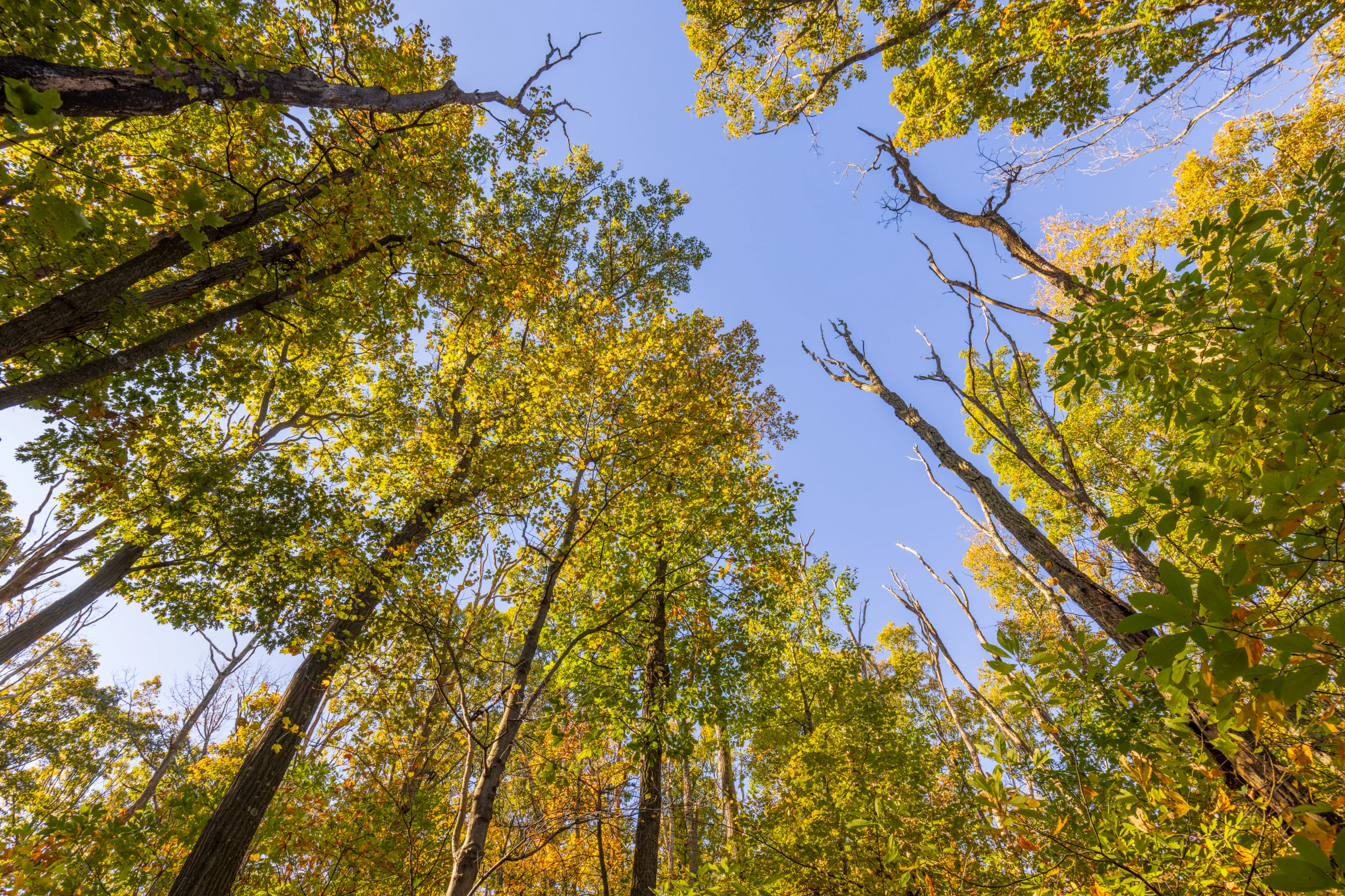
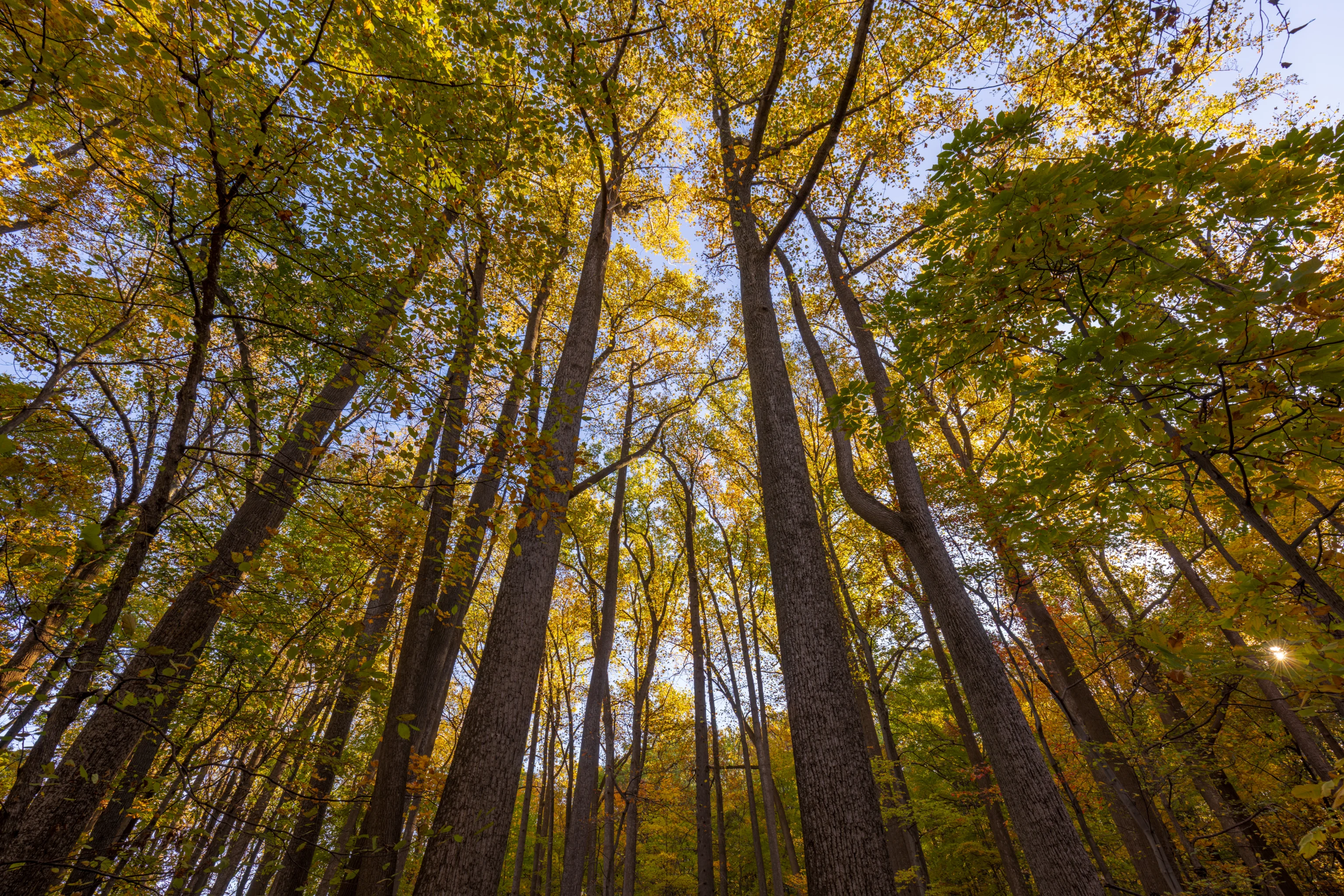
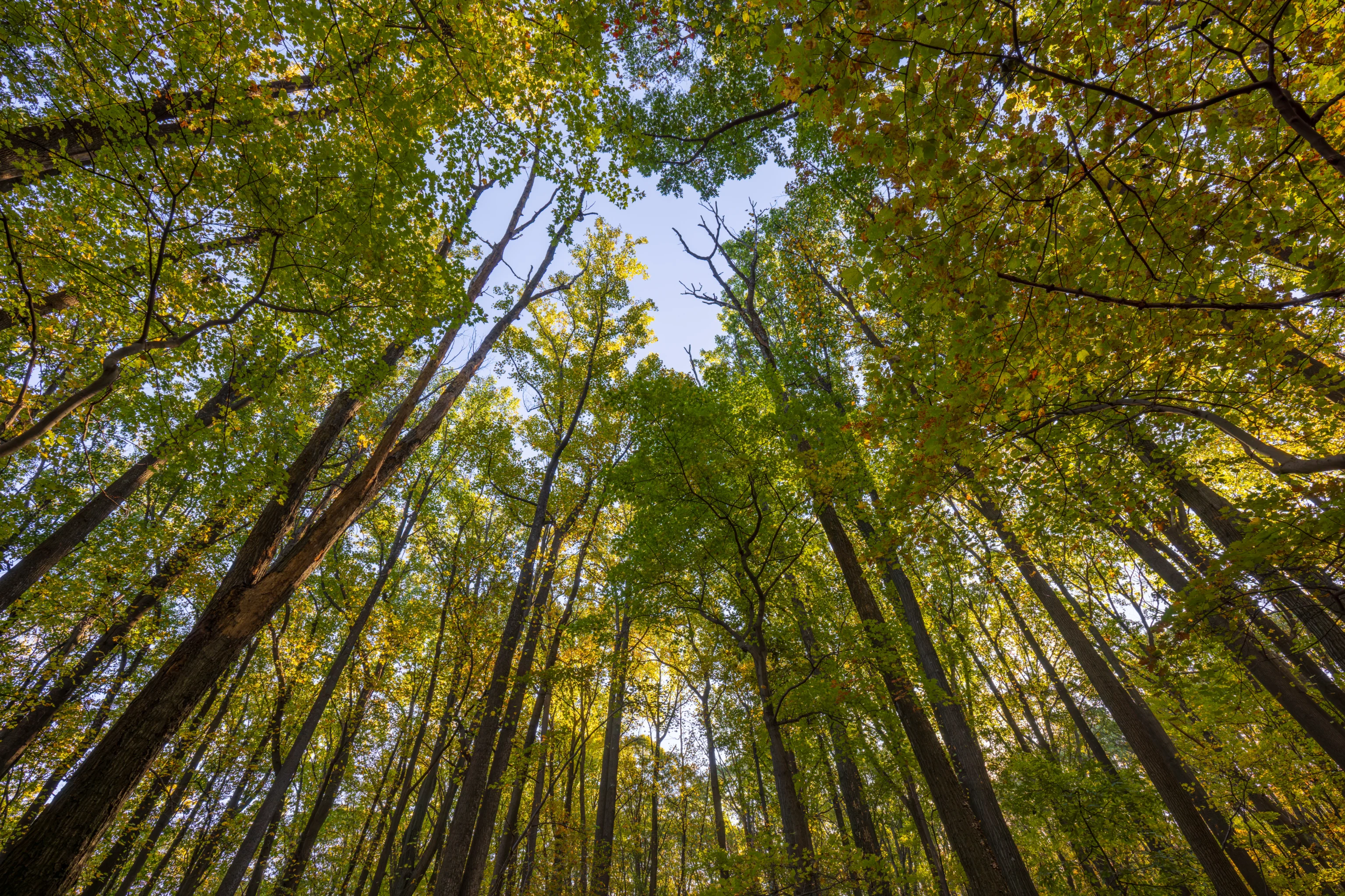
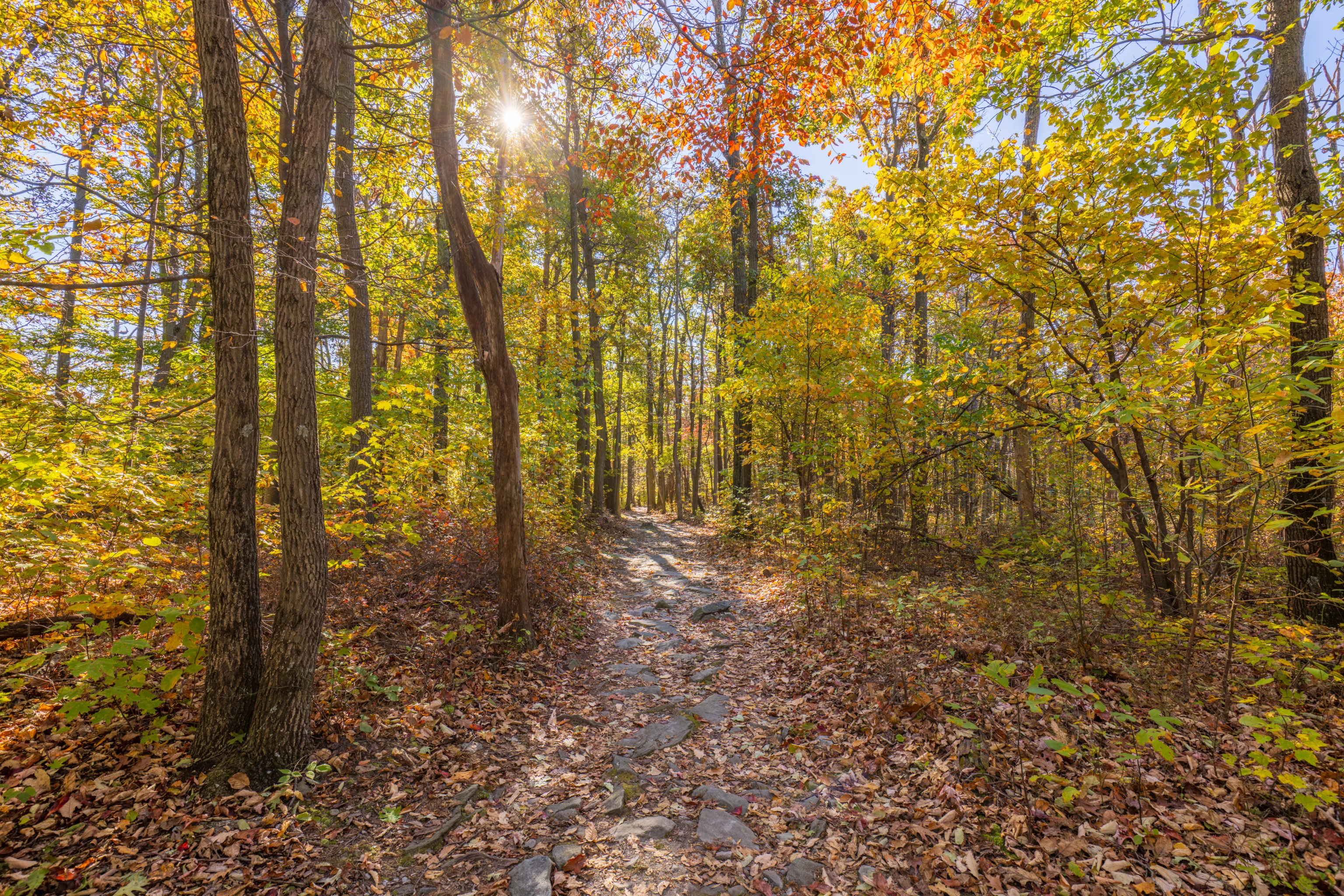
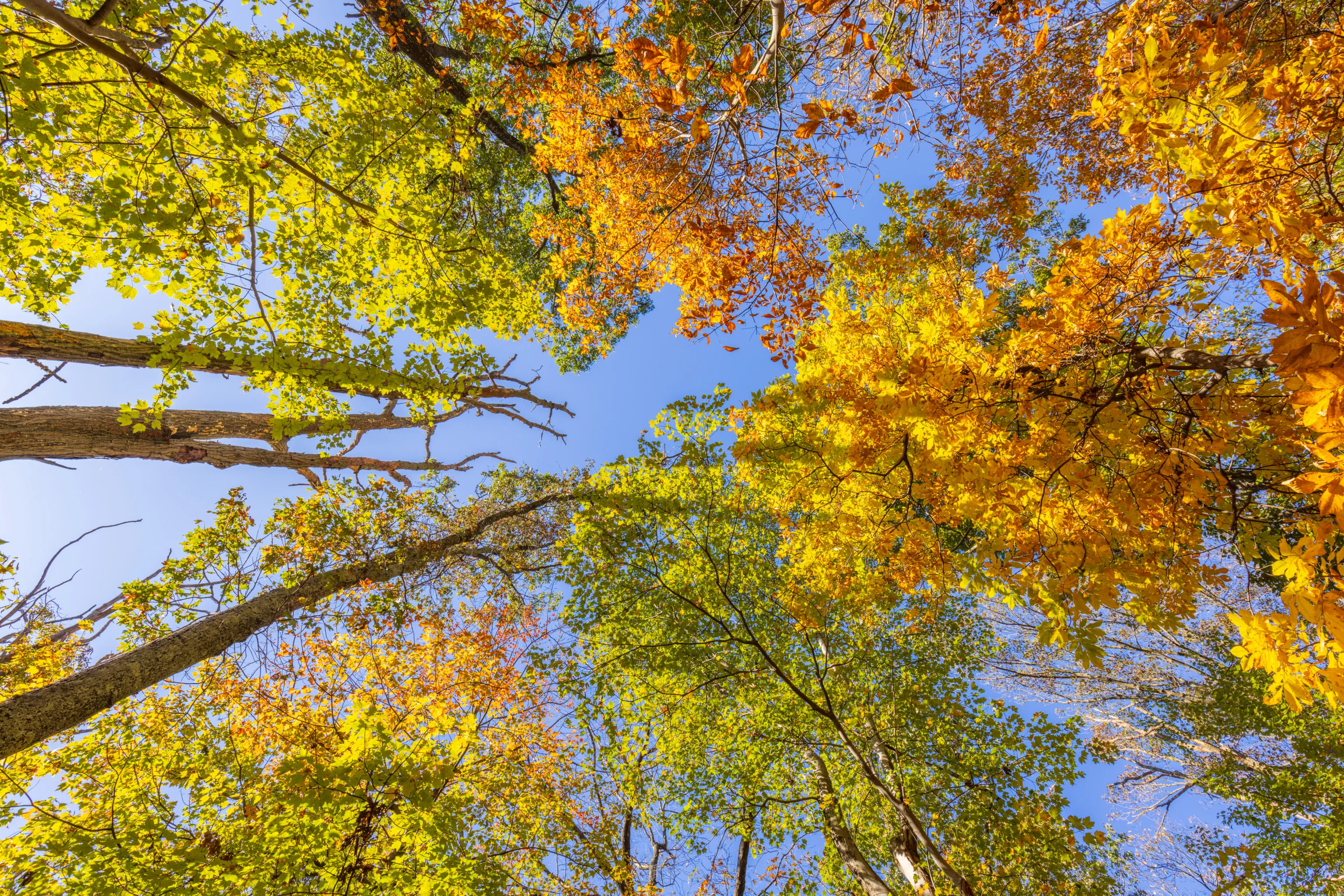
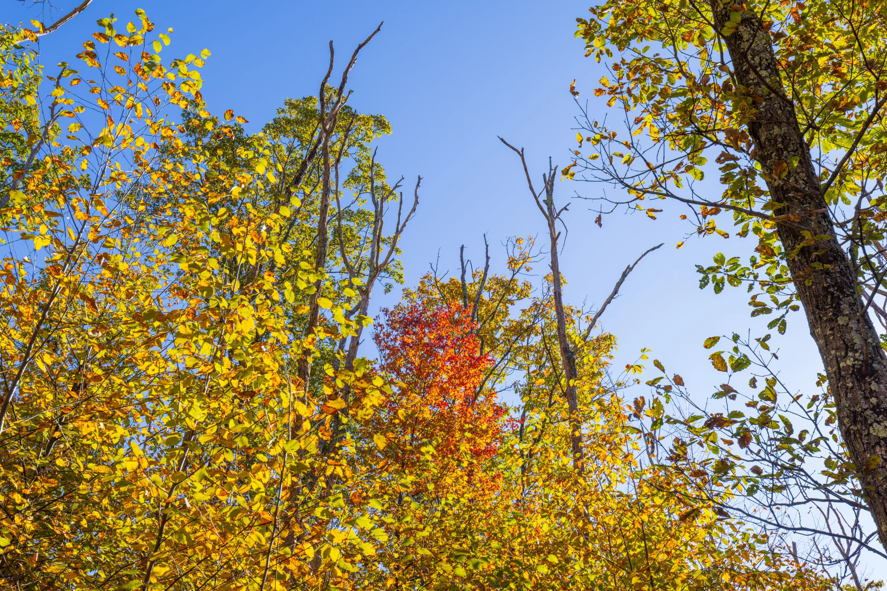
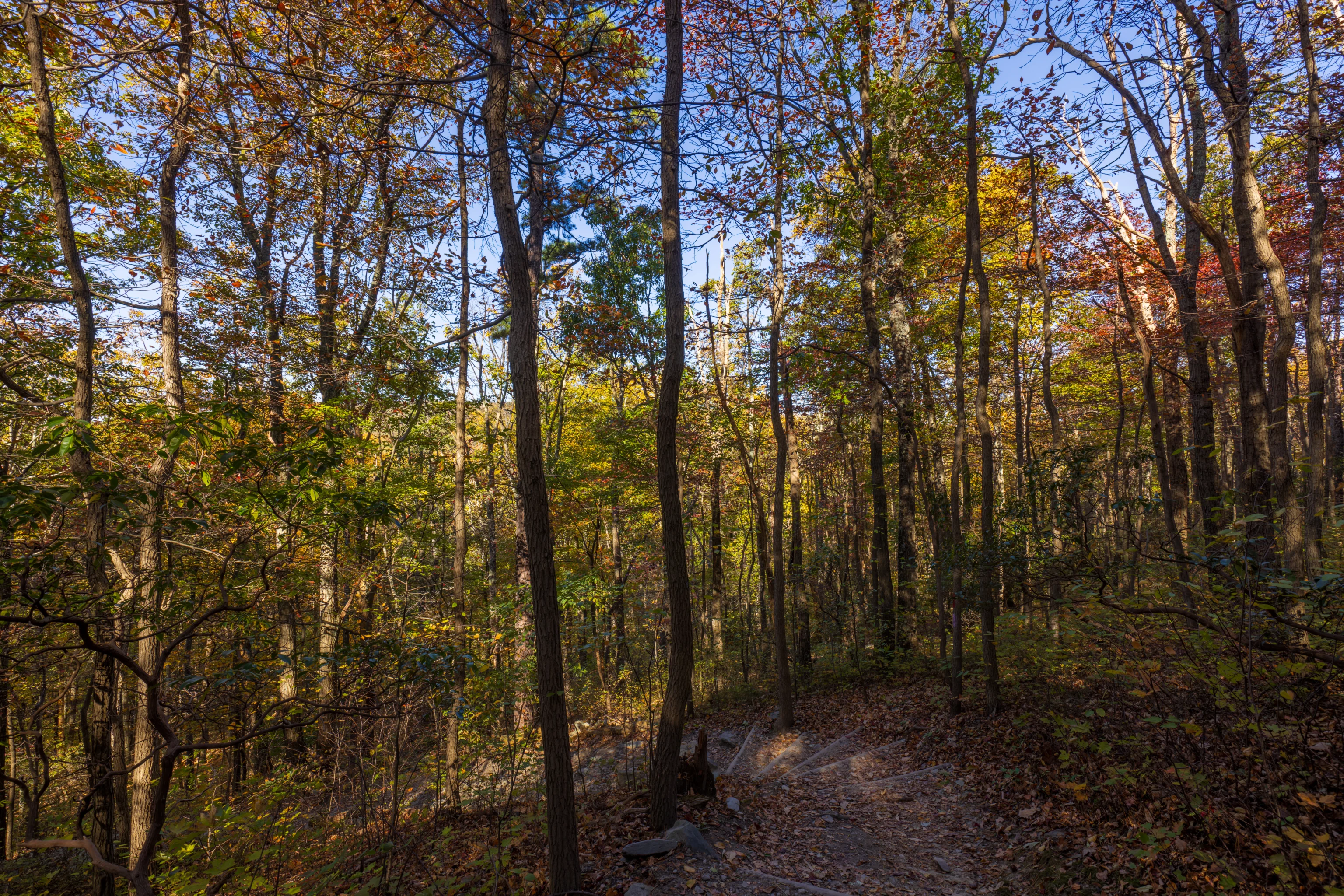
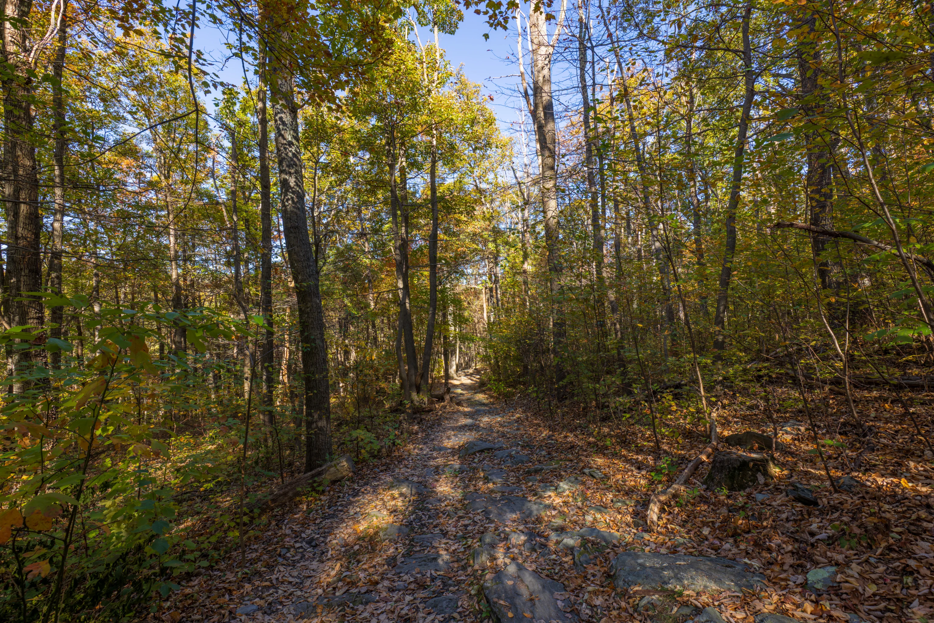
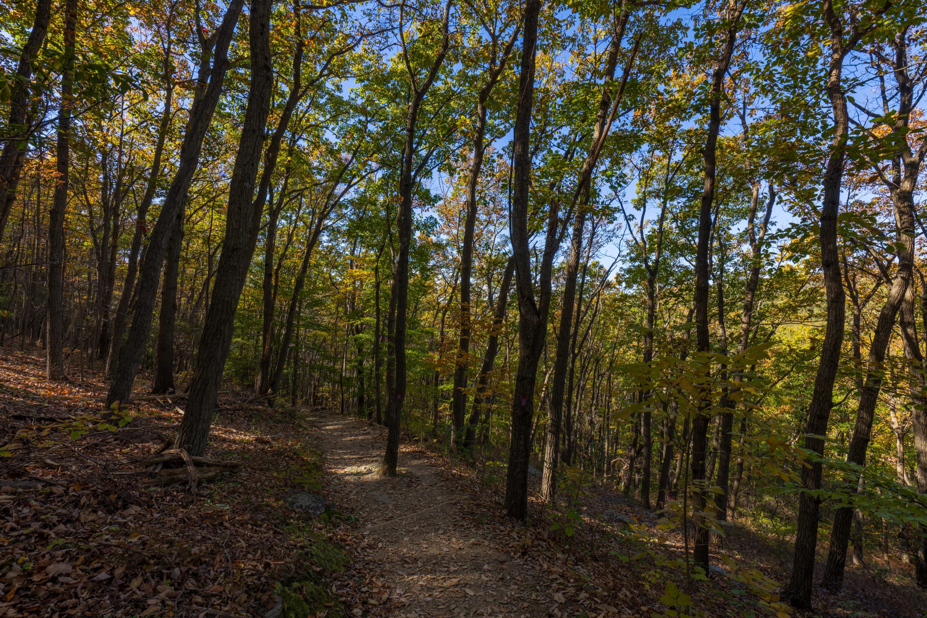
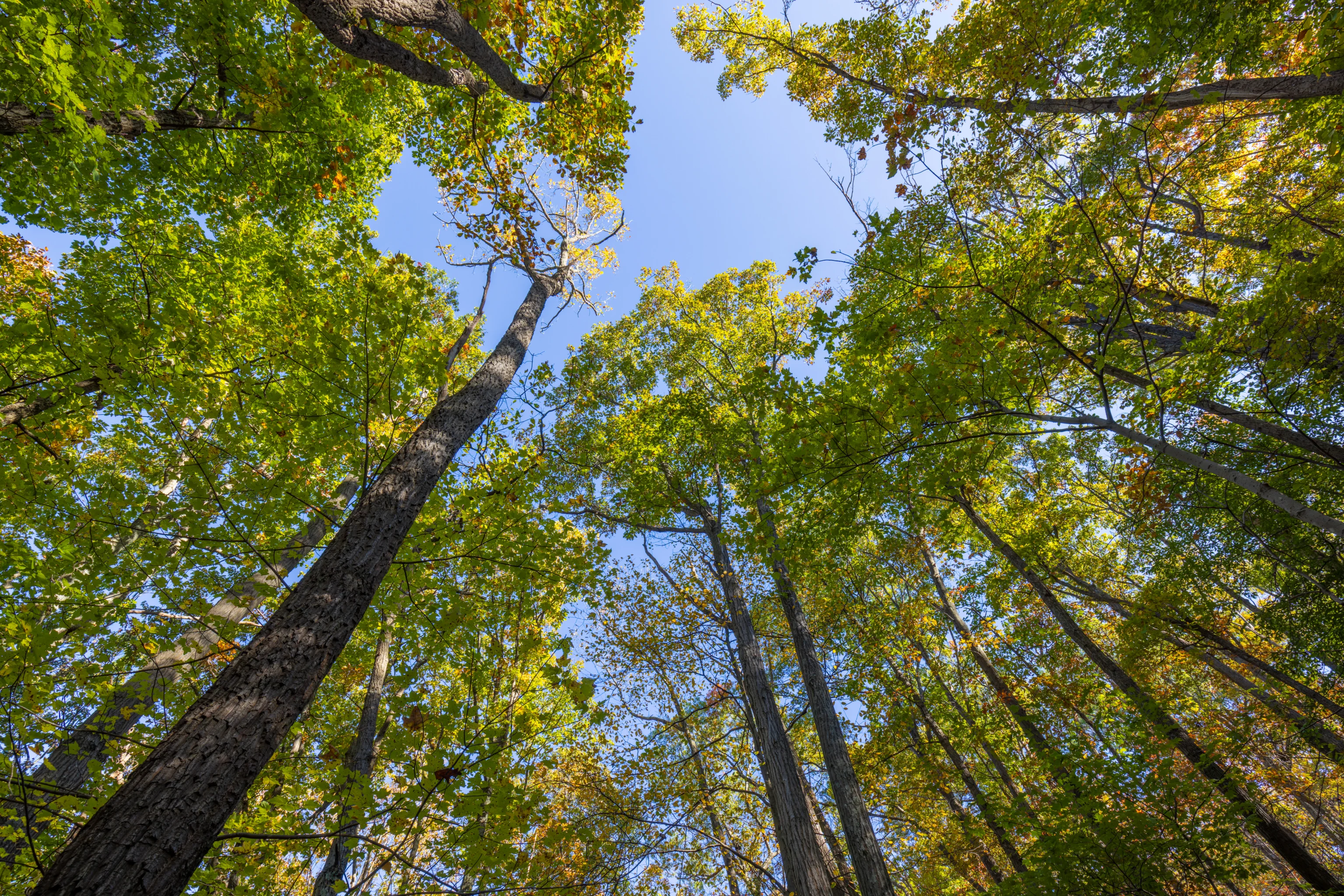
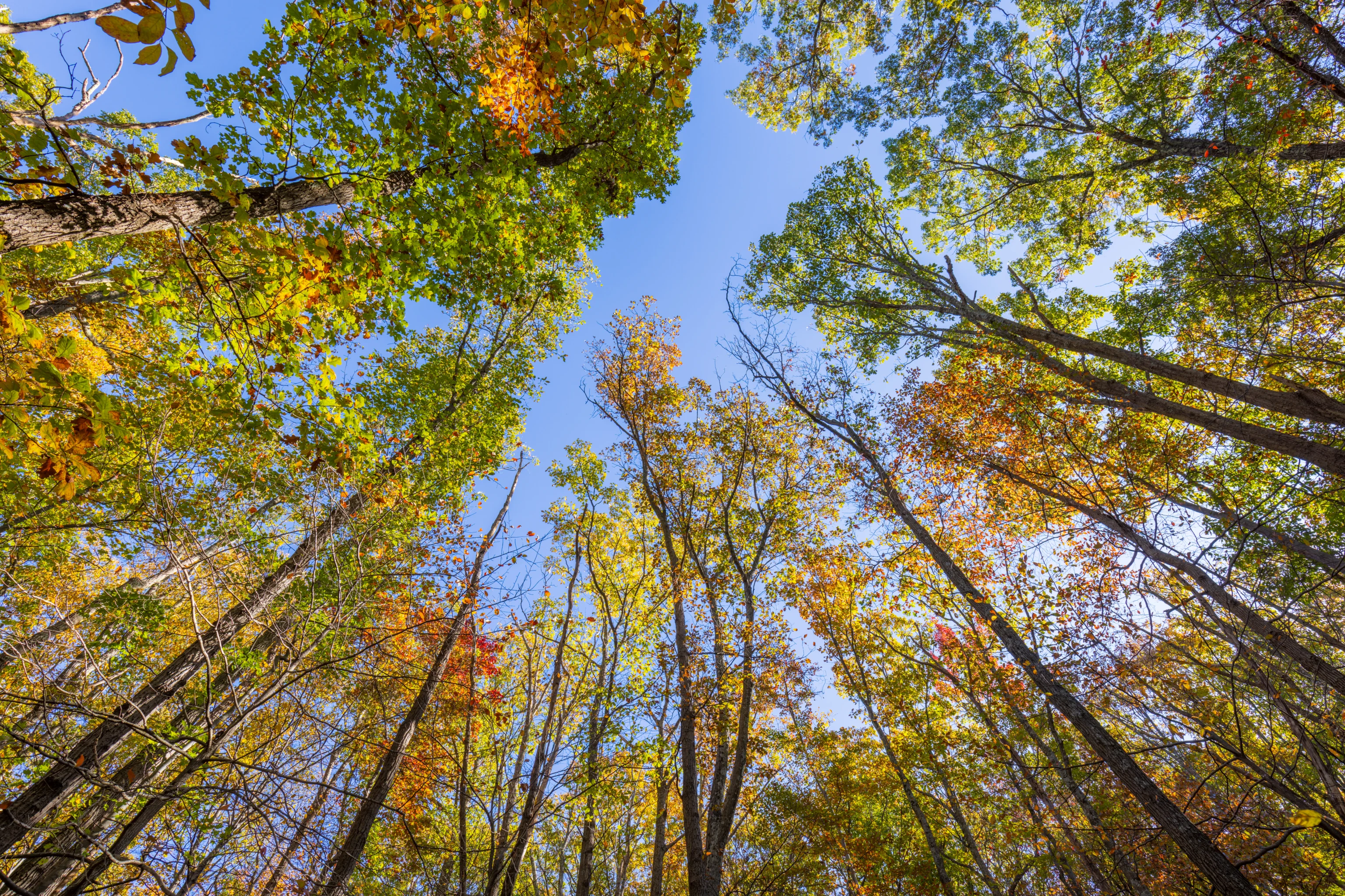
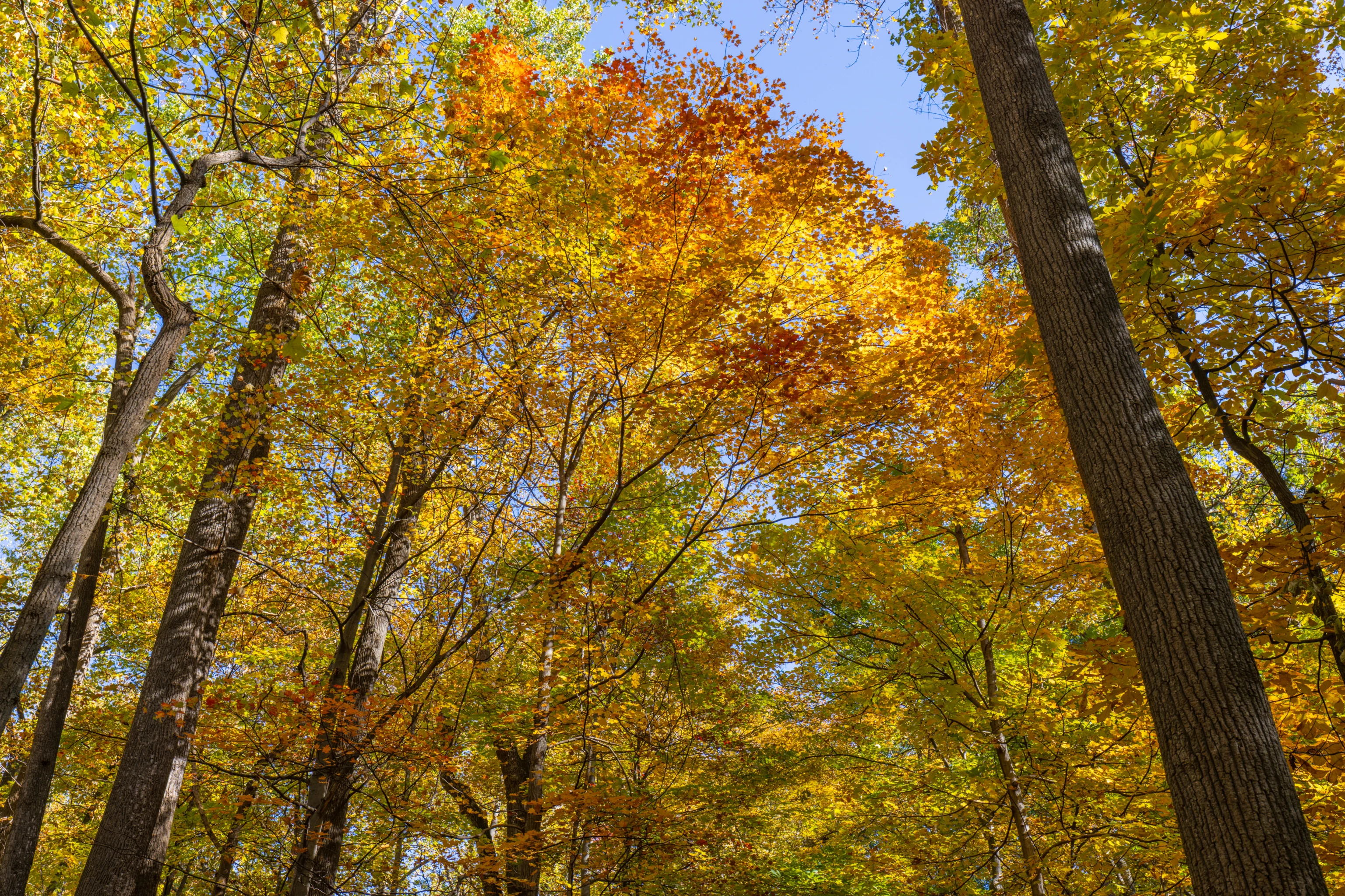
Still quite a bit of green as we reached the ridgeline. The canopy opens up a bit at the top and we started to encounter more leafless trees.
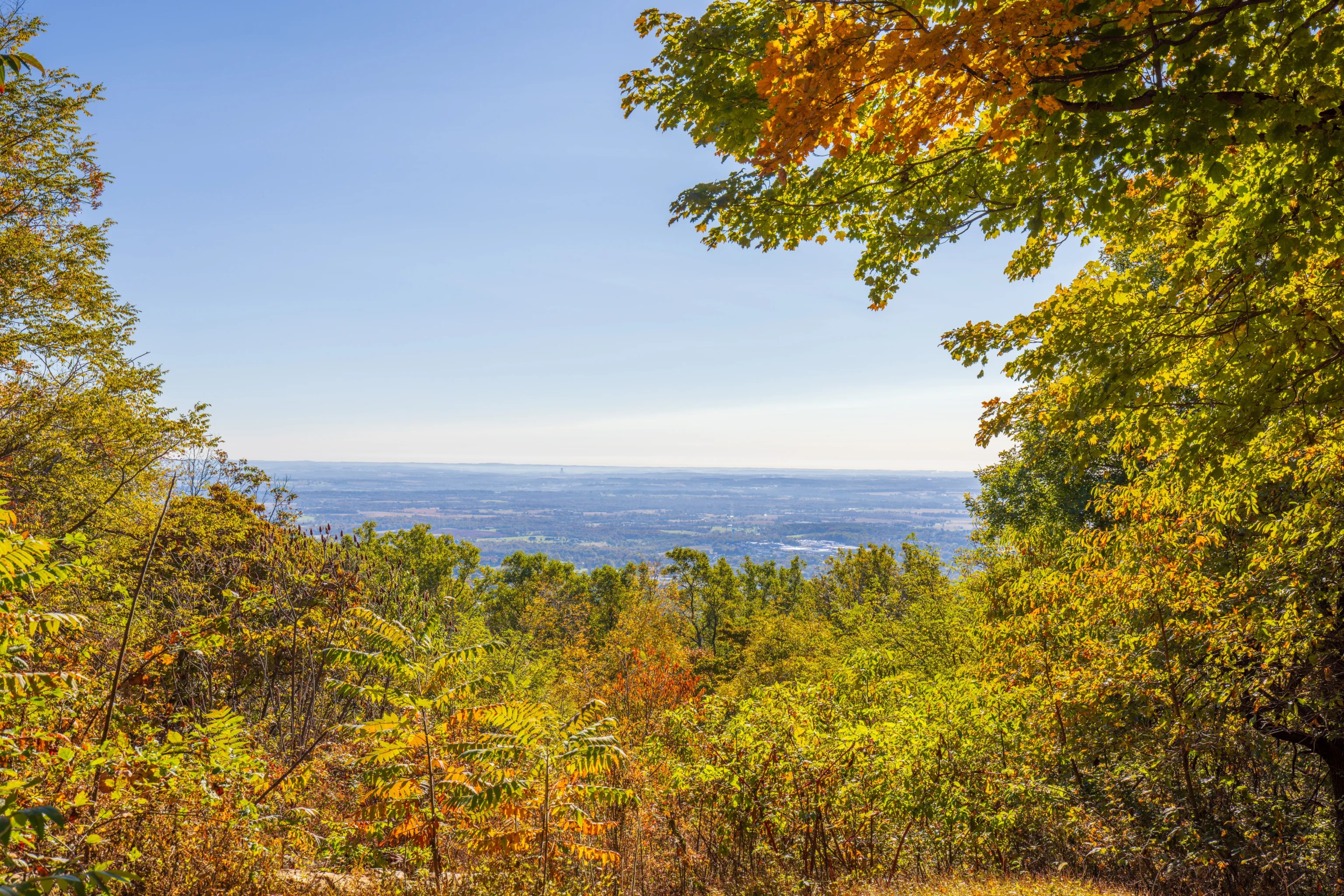
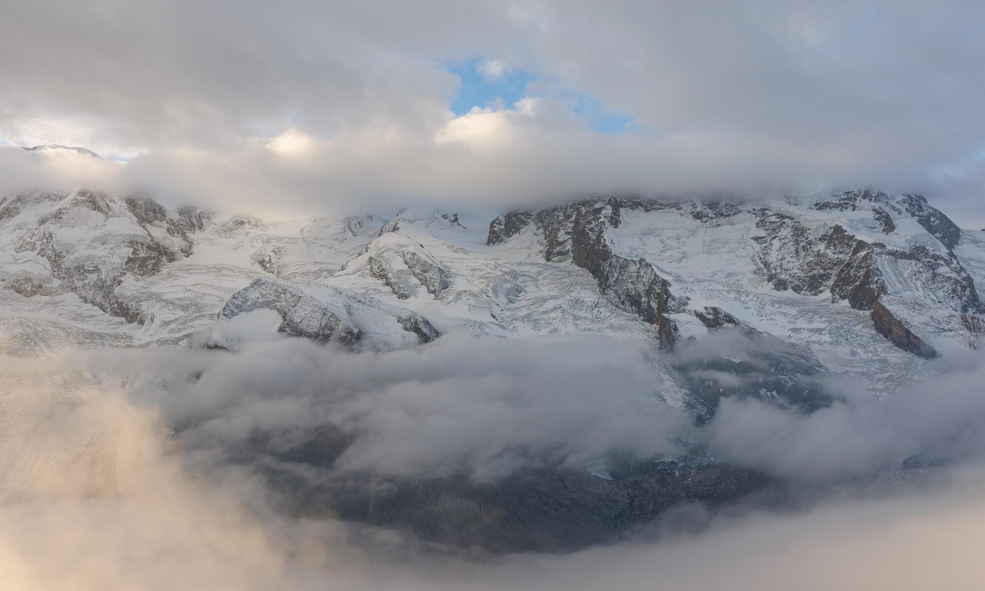
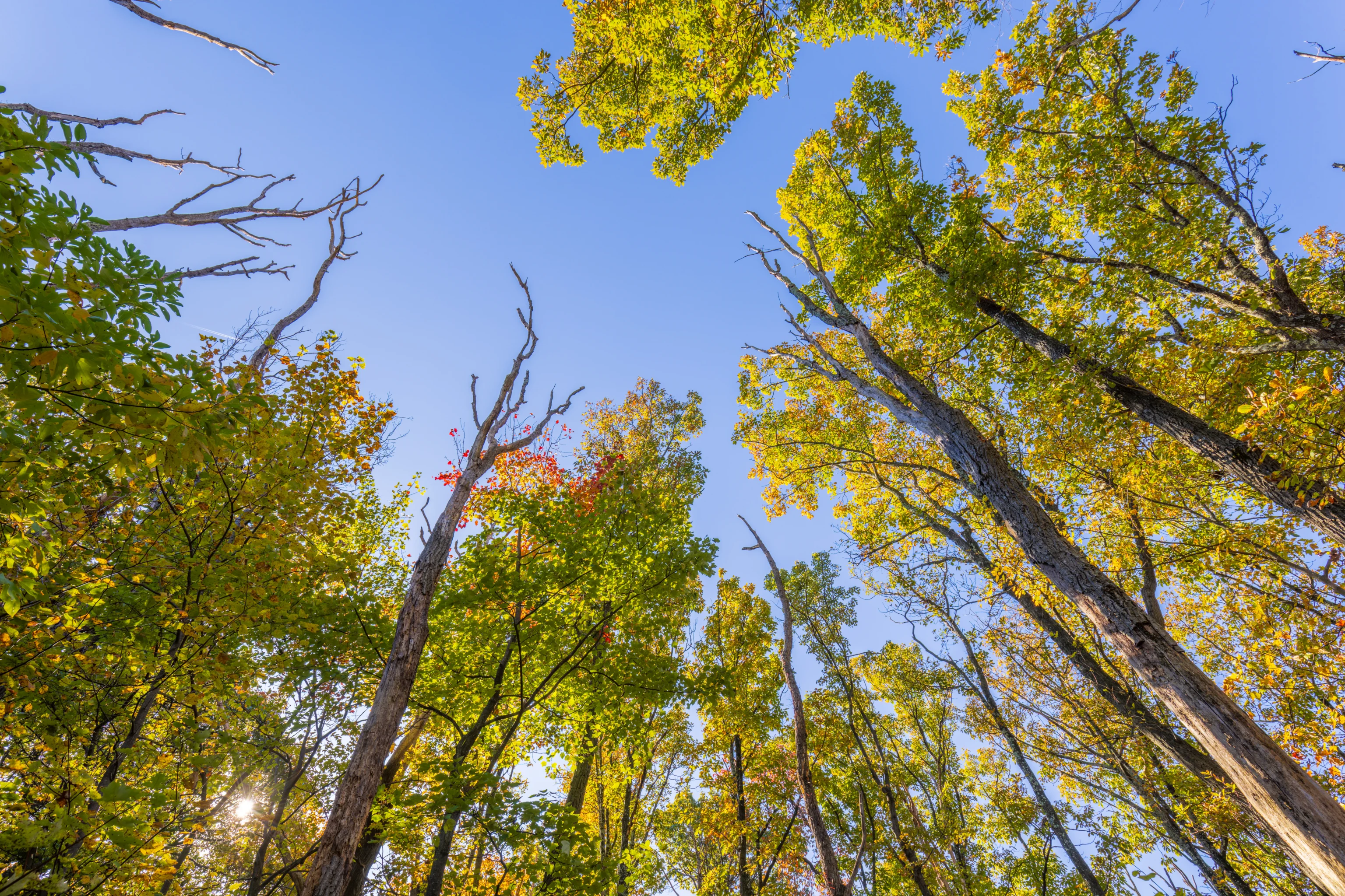
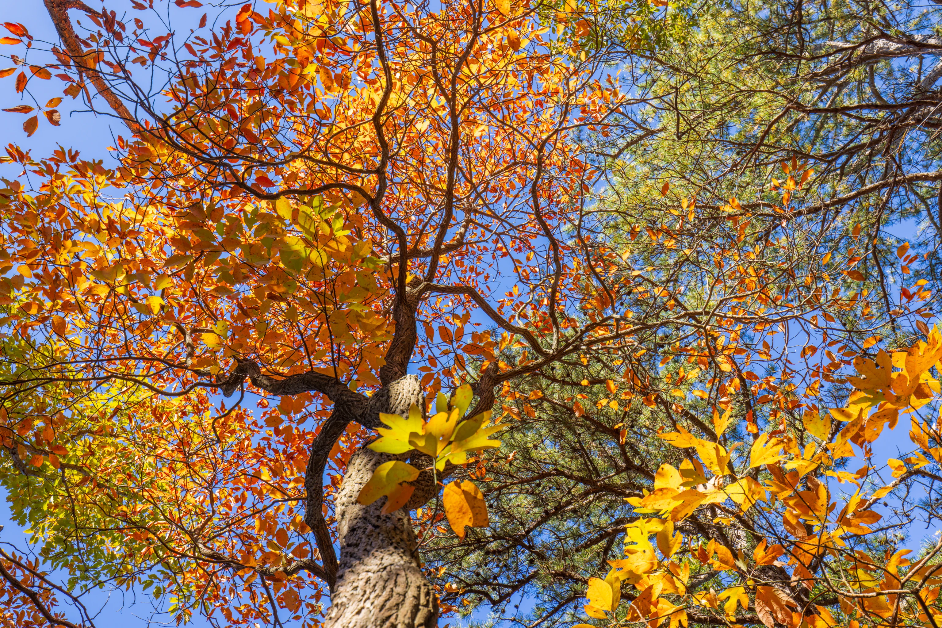
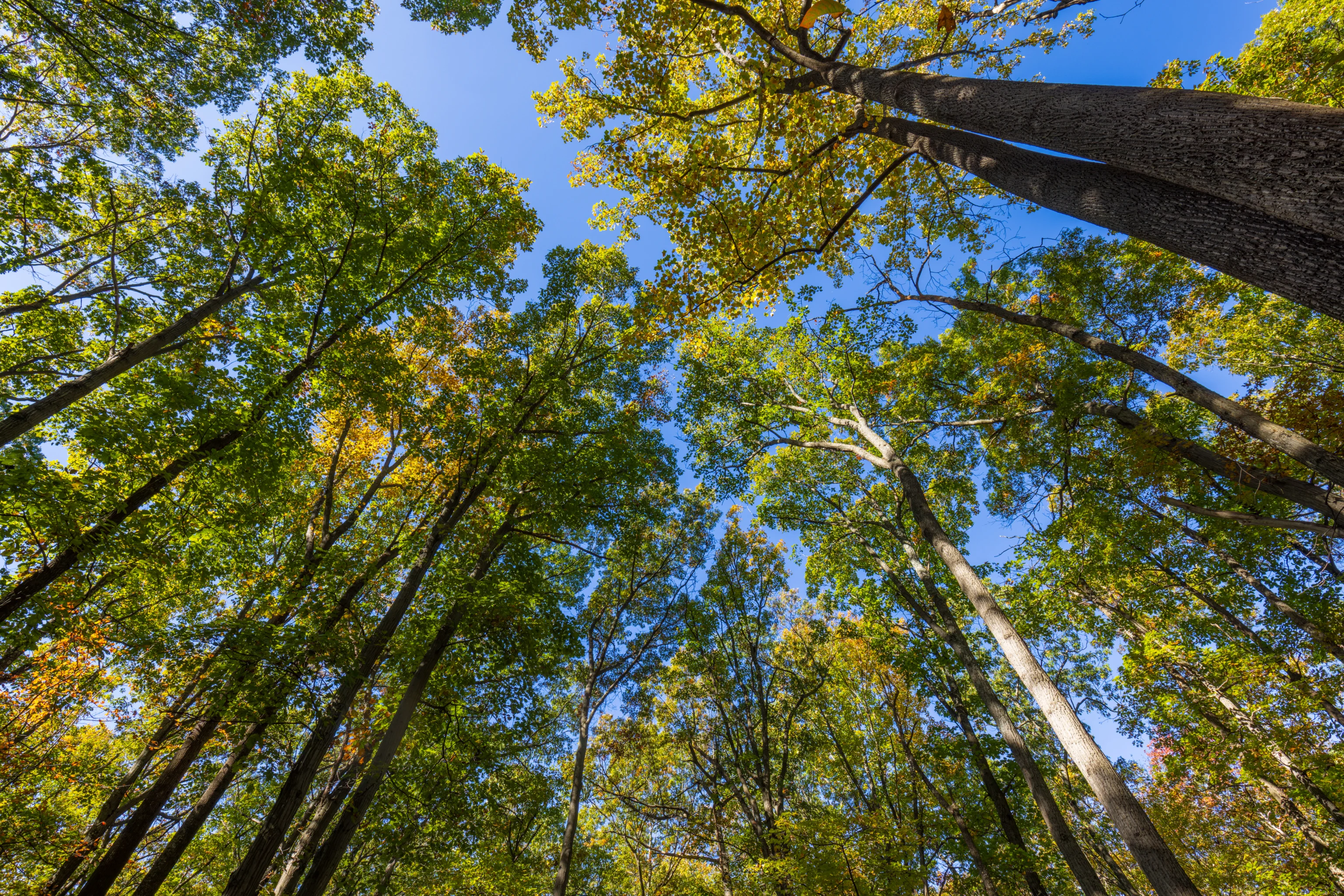
Thurmont Overlook! The sky was clear and we could see quite far in the distance. Again, quite a bit of green up here.
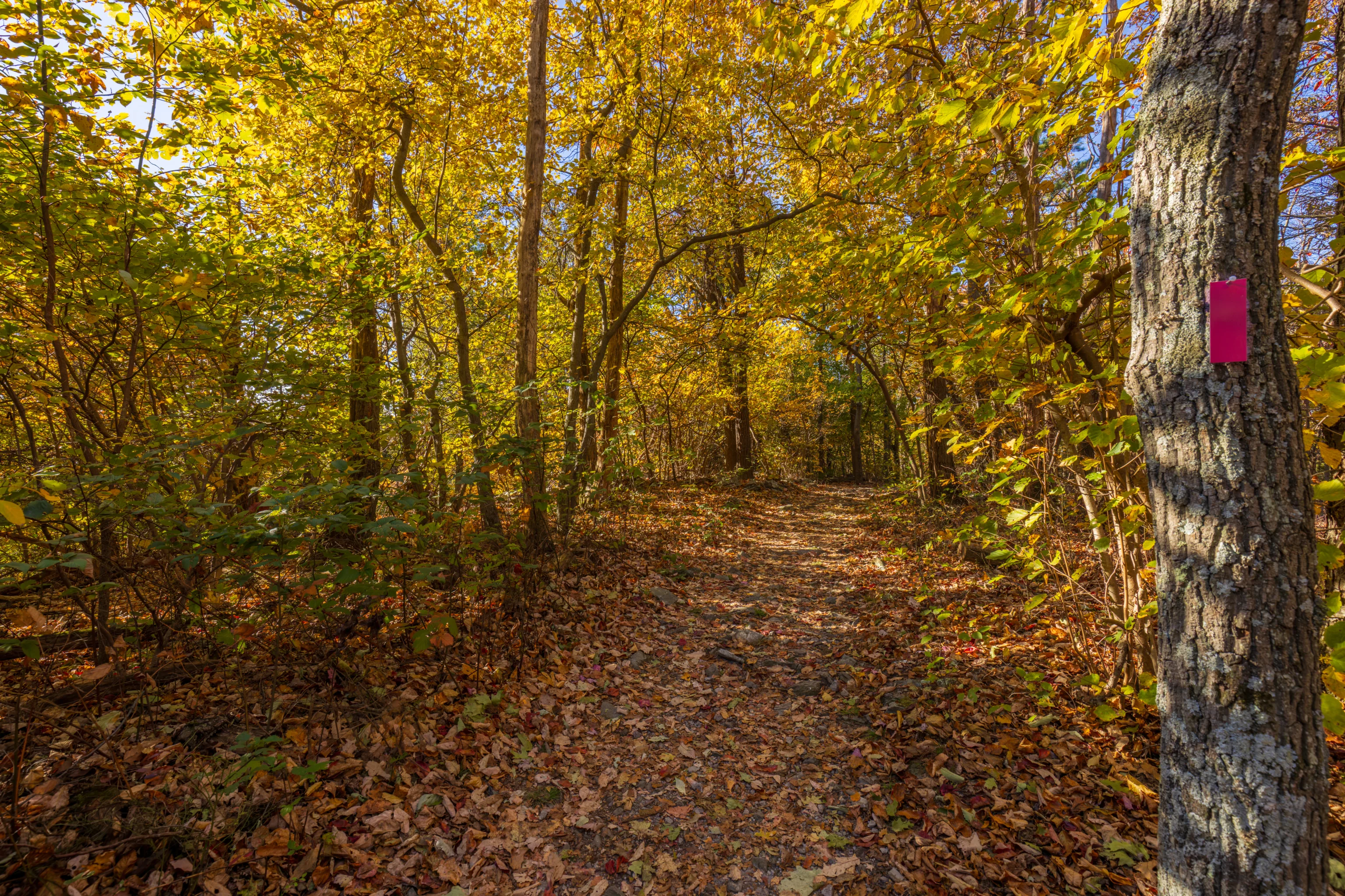
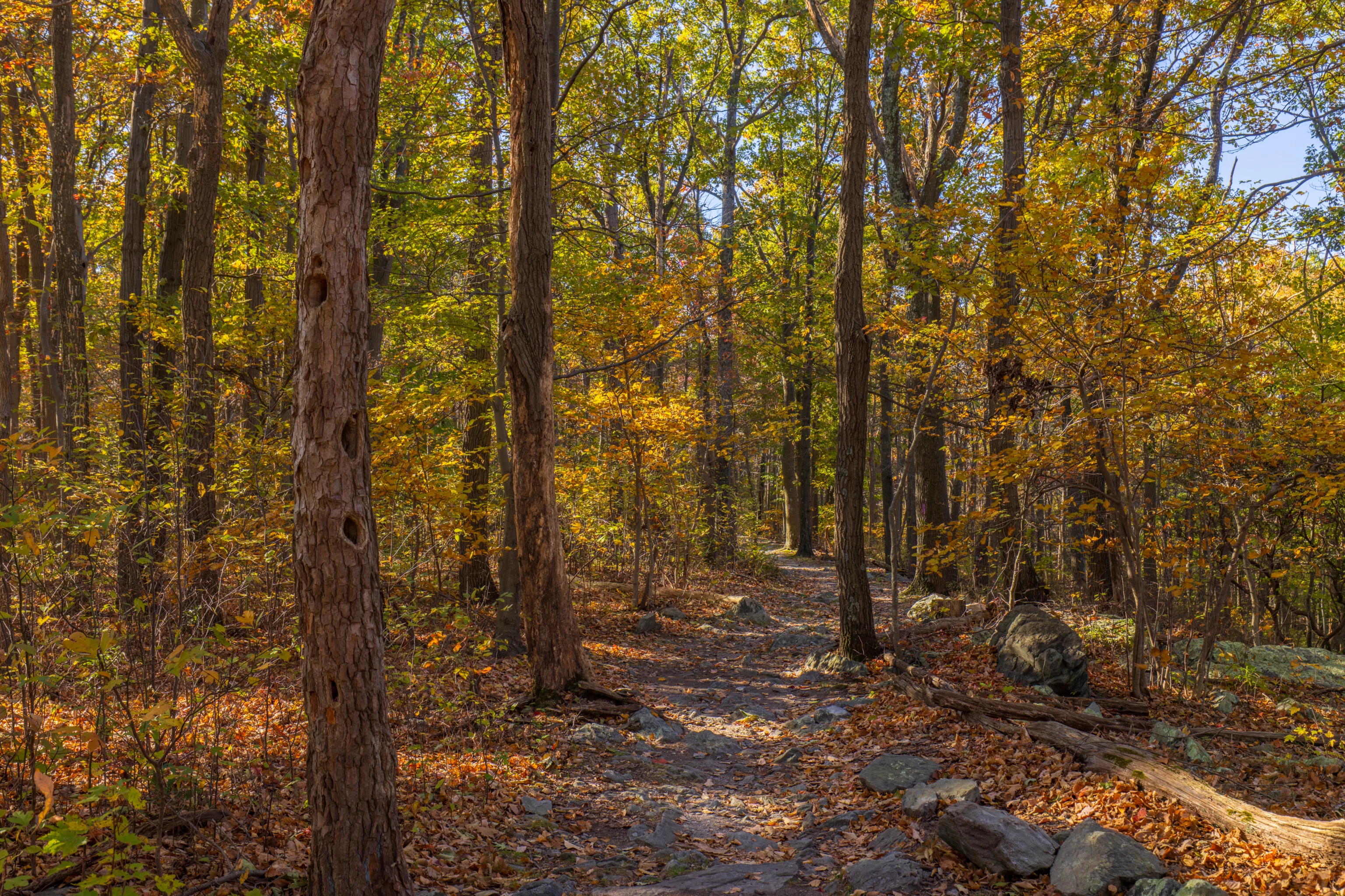
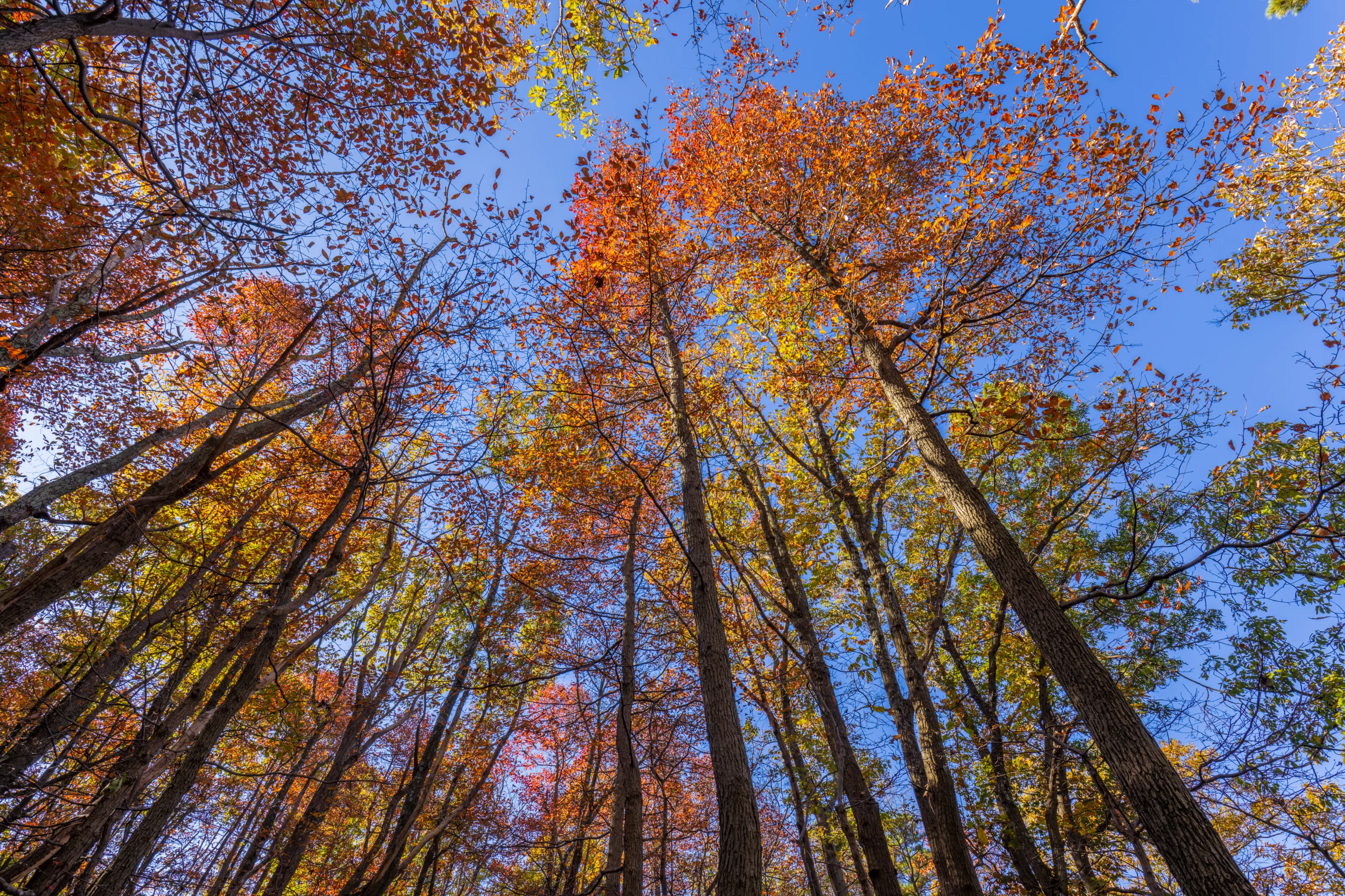
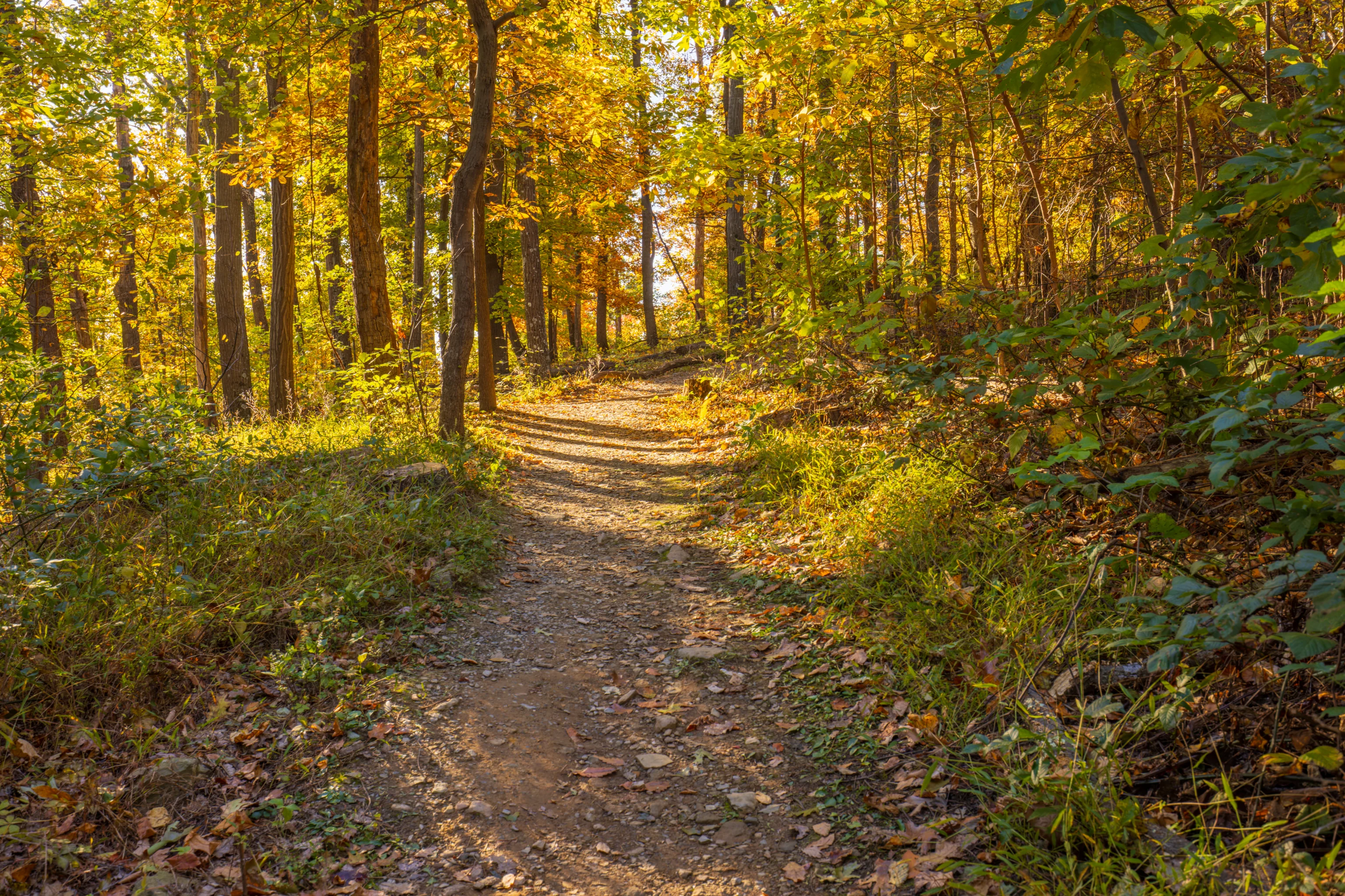
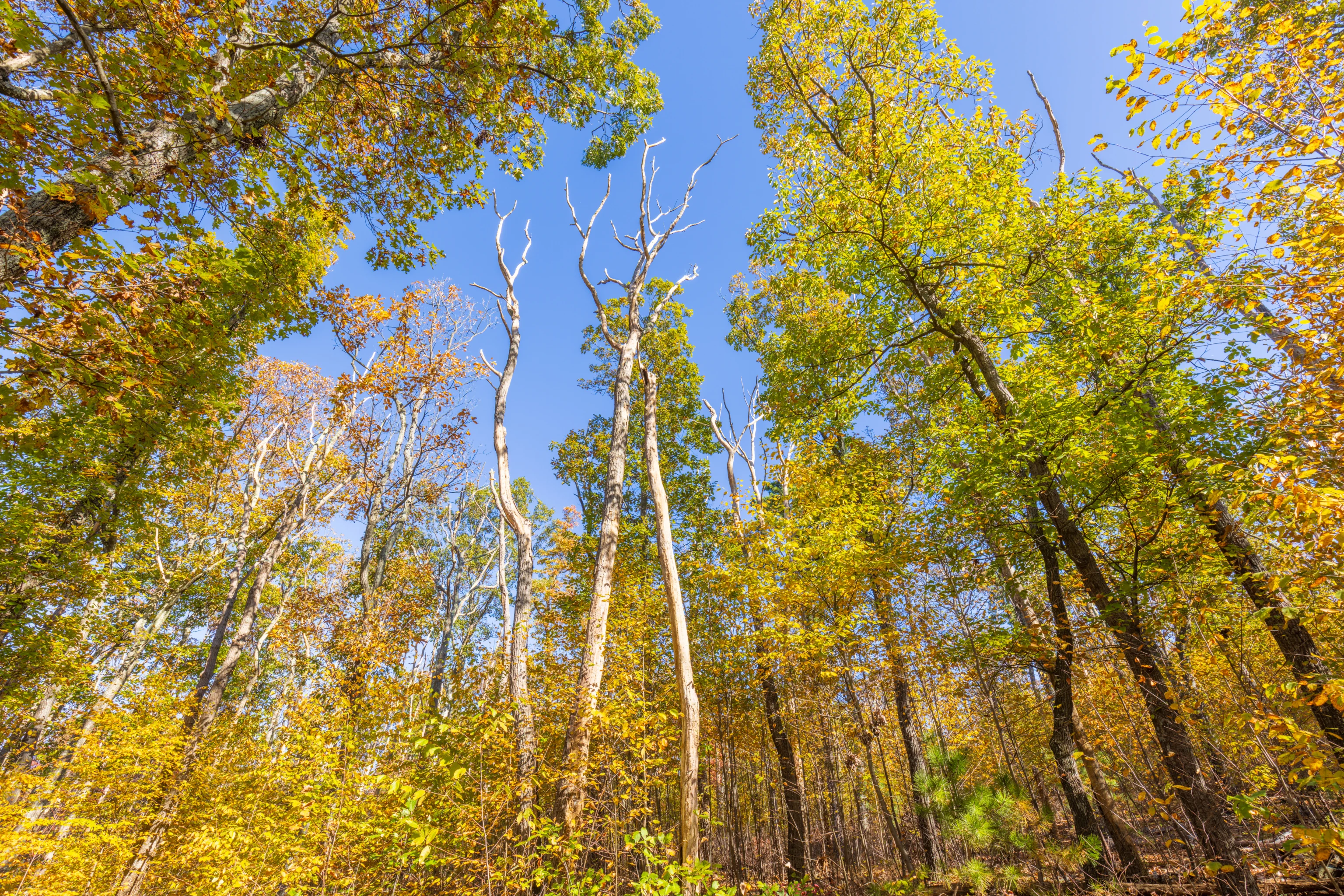
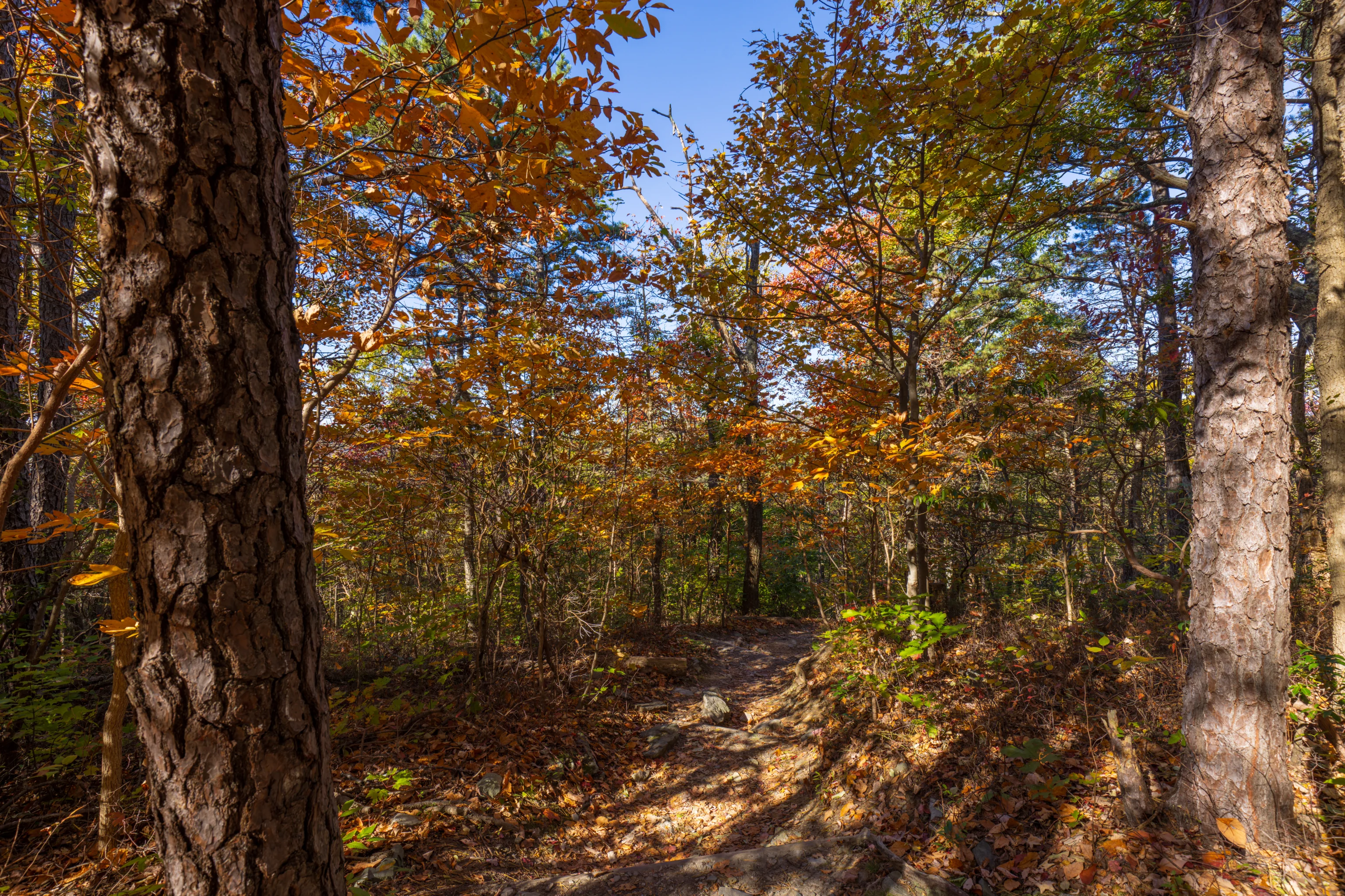
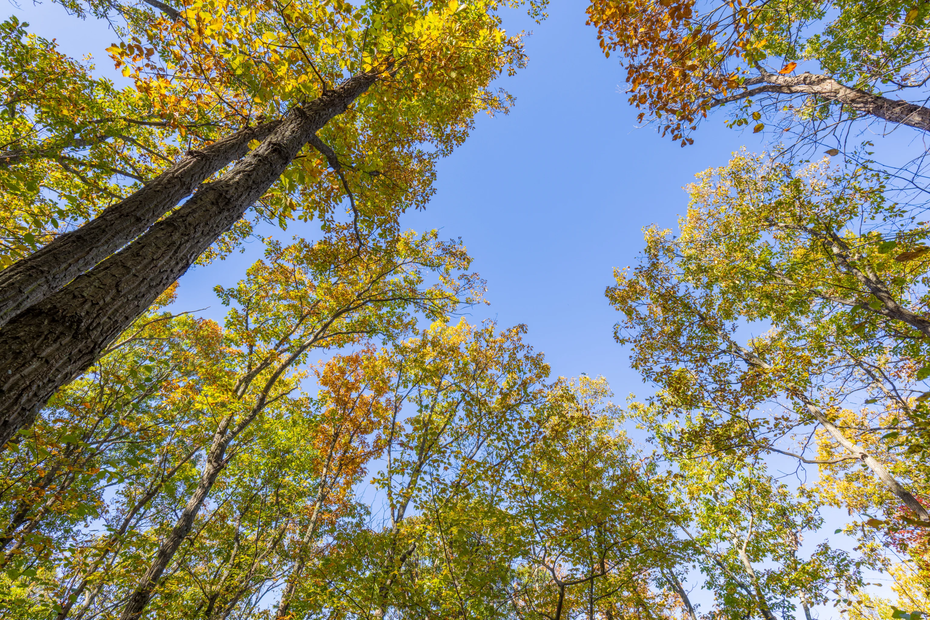
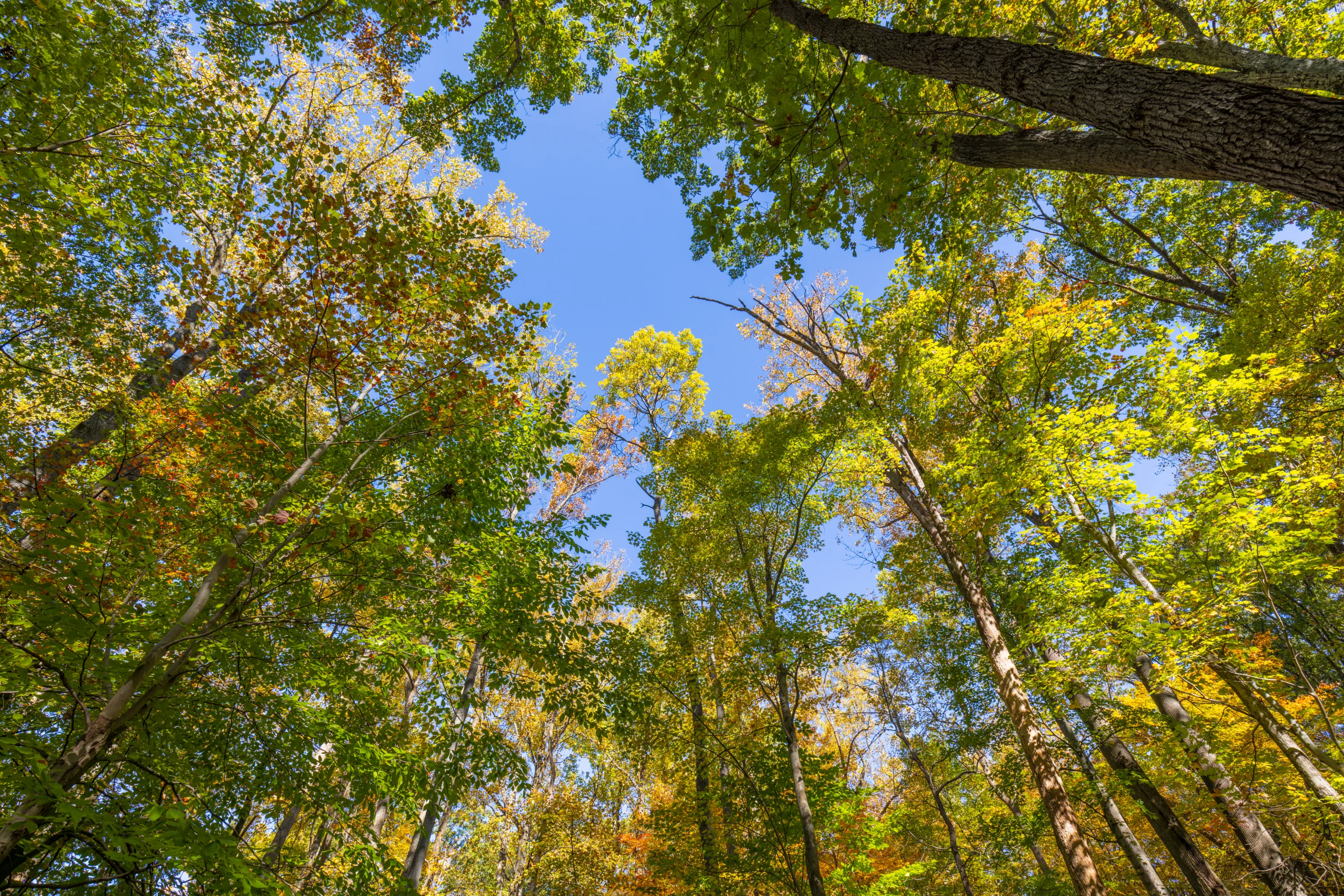
We decided to continue along the trail to Wolf Rock. This portion of the trail runs along a ridgeline and is mostly flat, though with some minor ups and downs. The trail gets a bit rocky in places. The fall colors up here aren’t really any better than down by the trailhead.
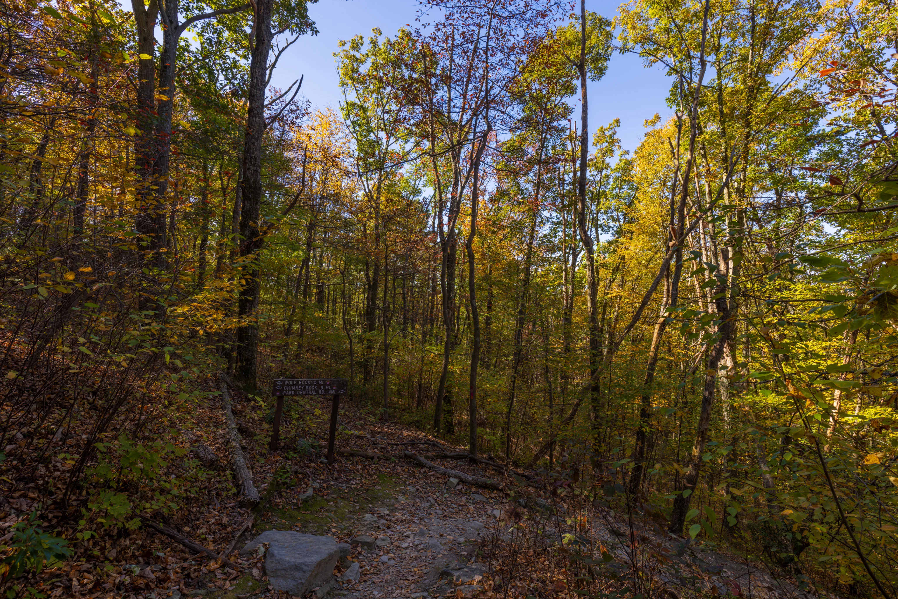
There is a junction near Wolf Rock. We decided to turn and take a side trail back down here rather than continue on.
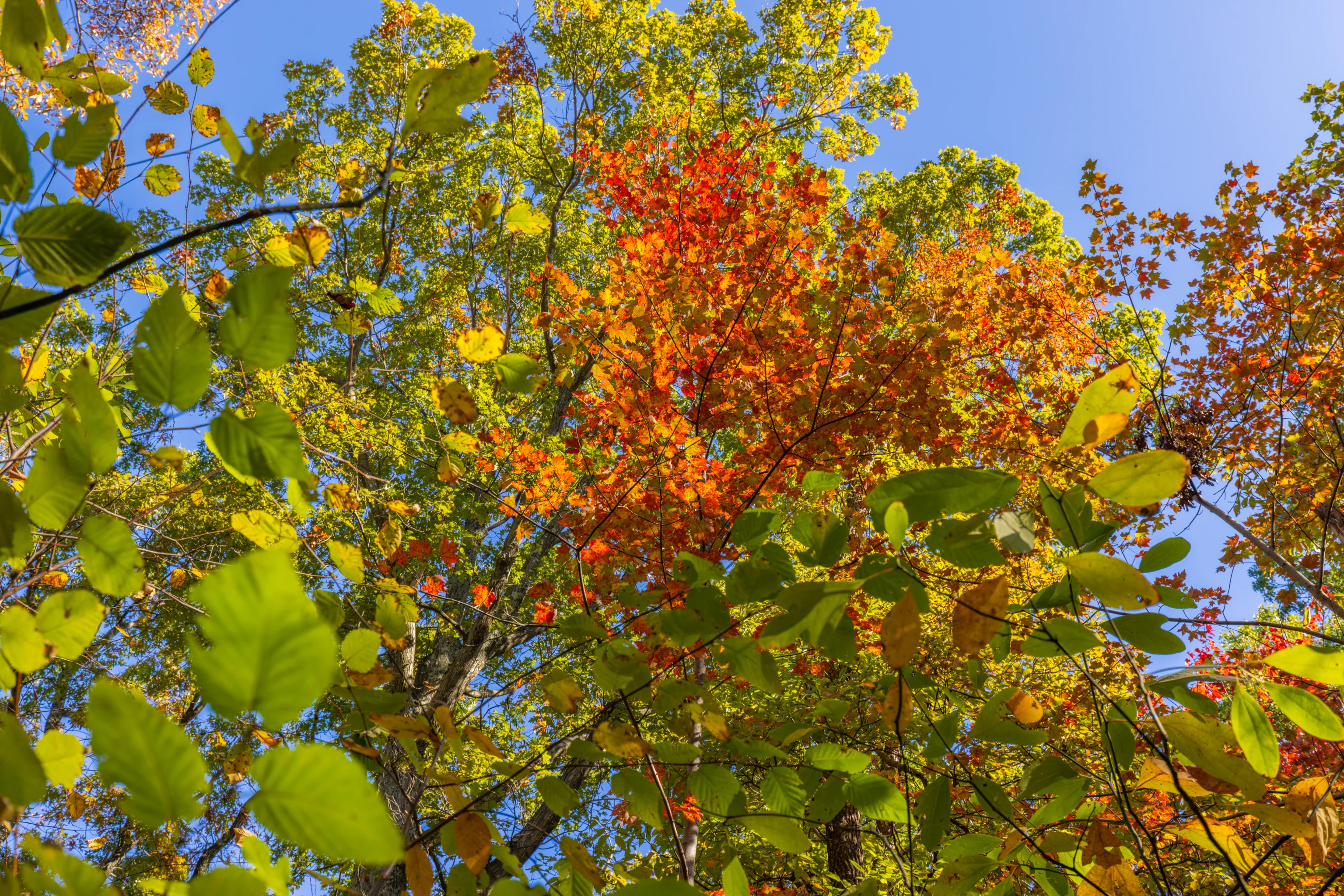
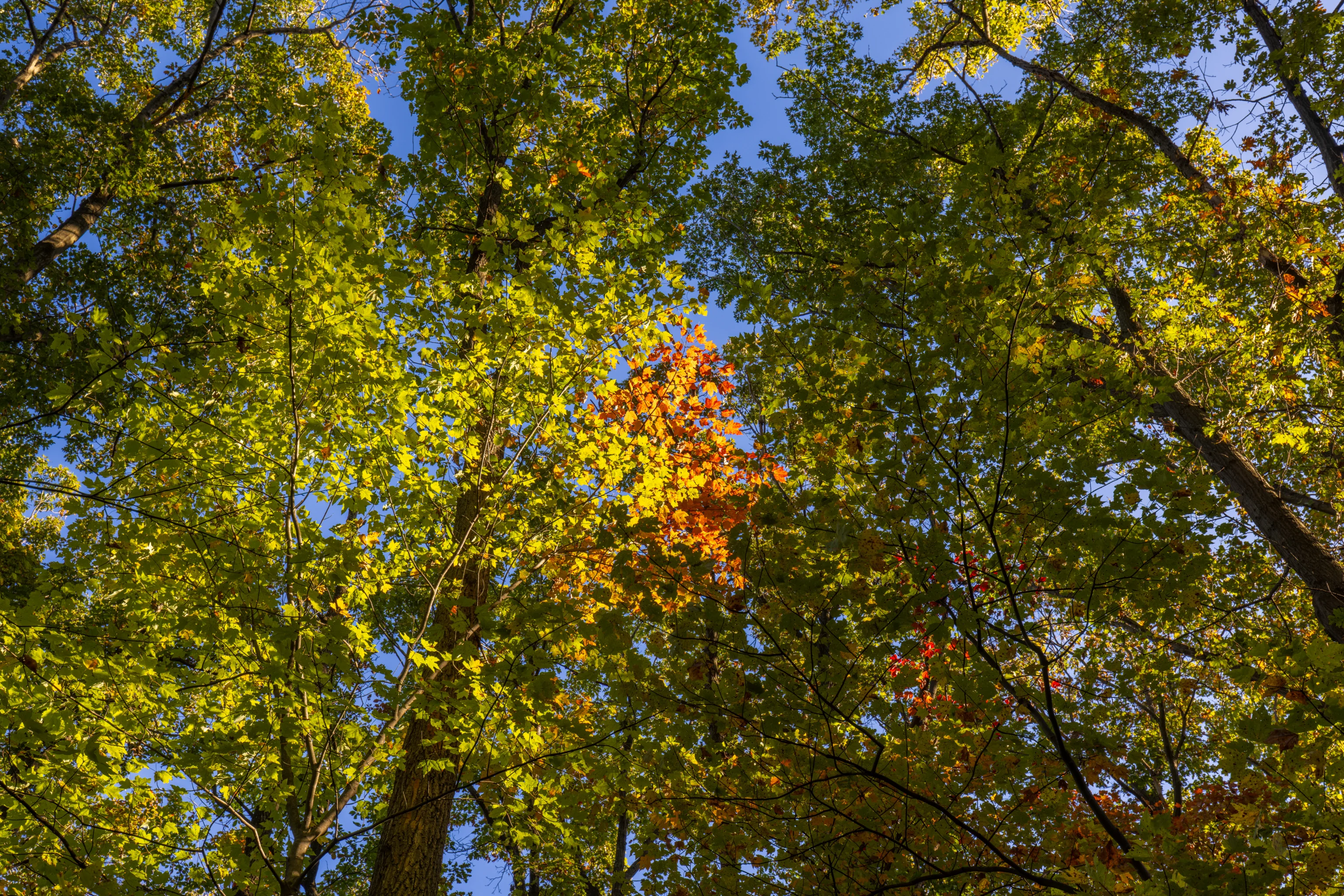
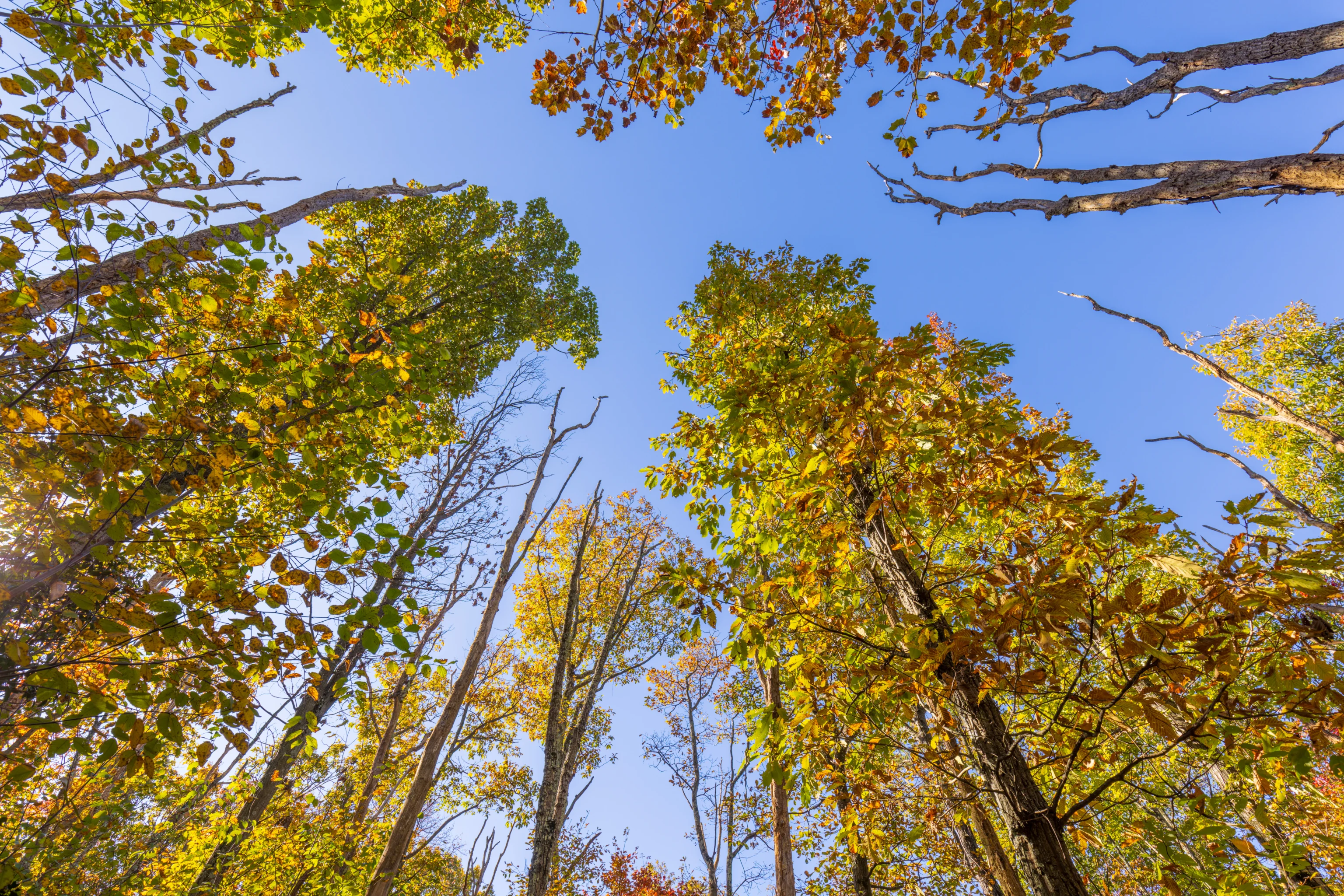
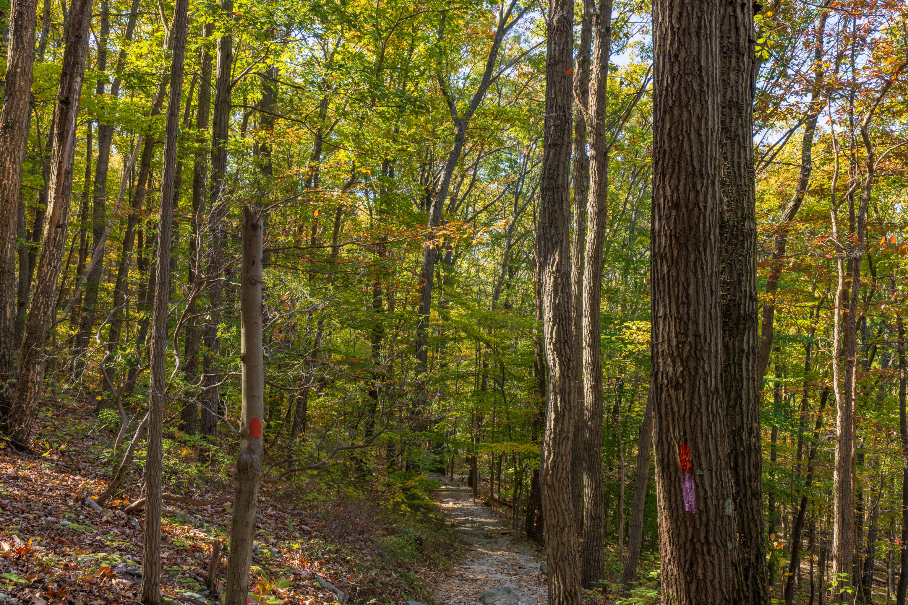
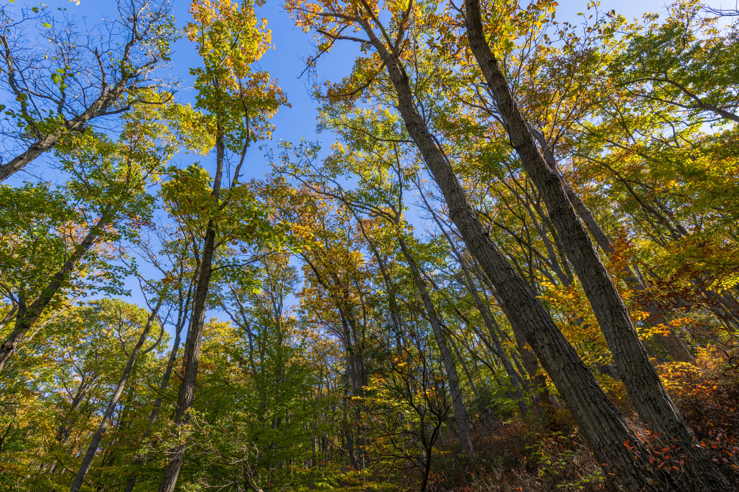
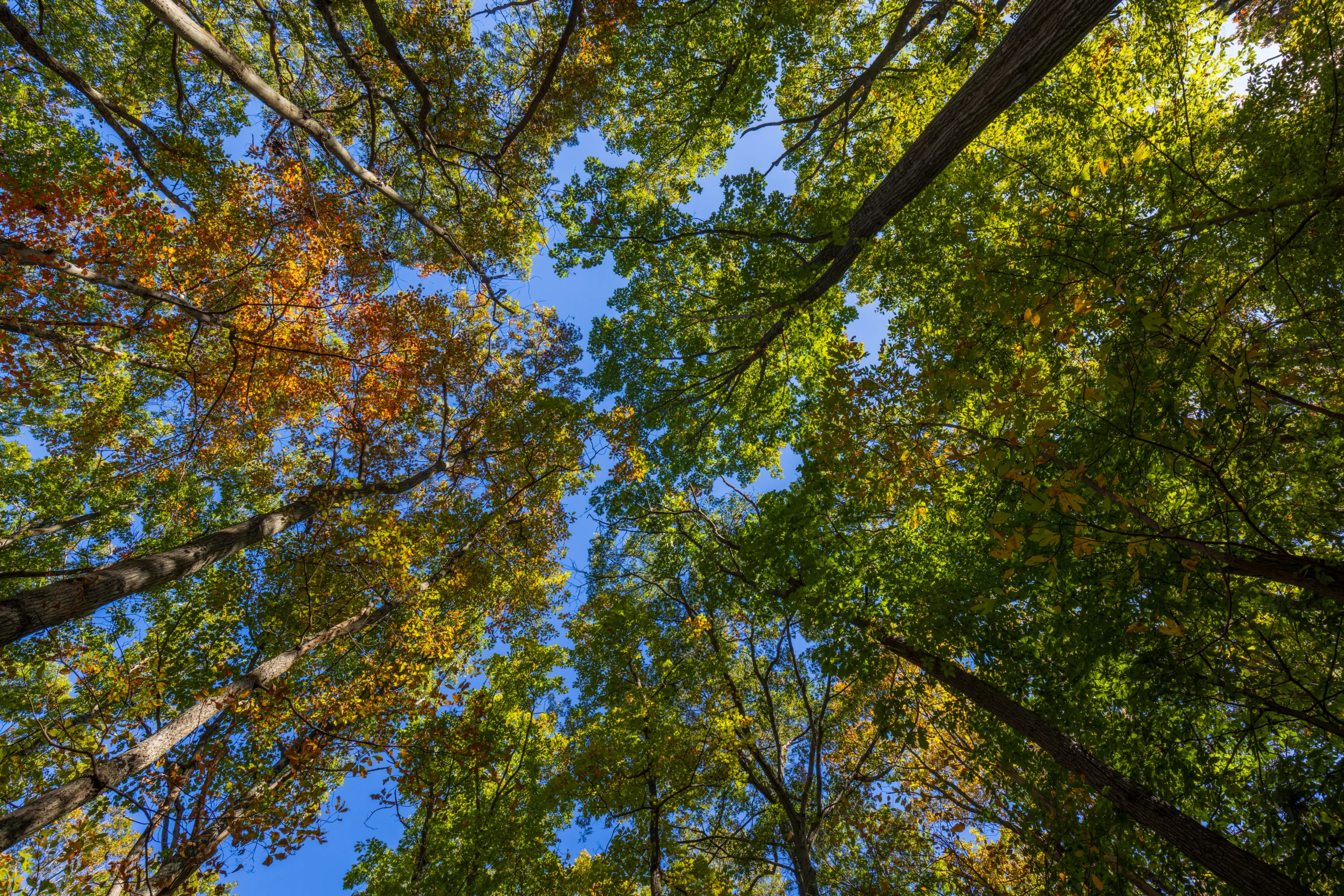
We passed a few nice spots of color nestled in among the green leaves.
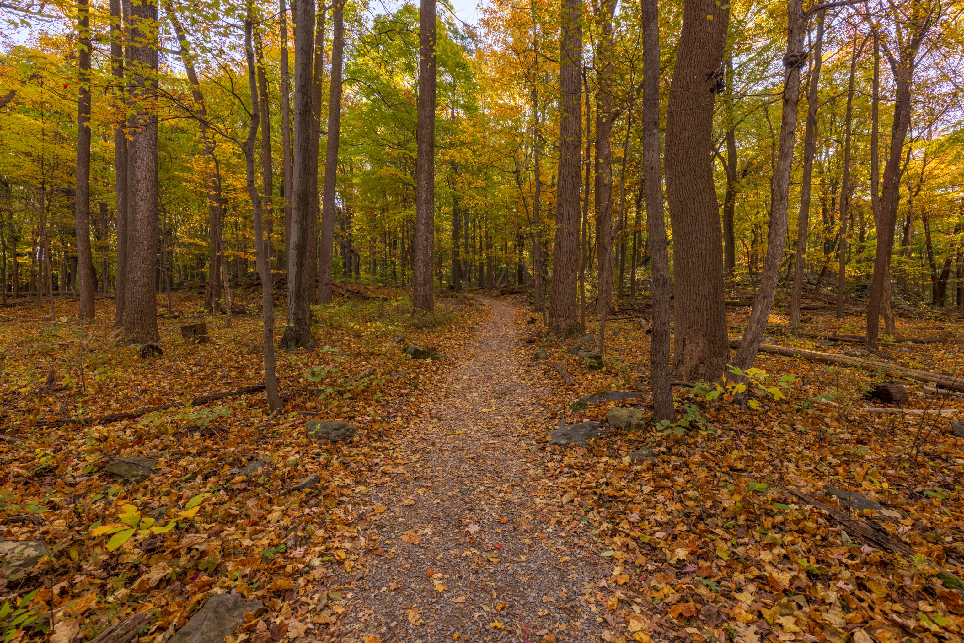
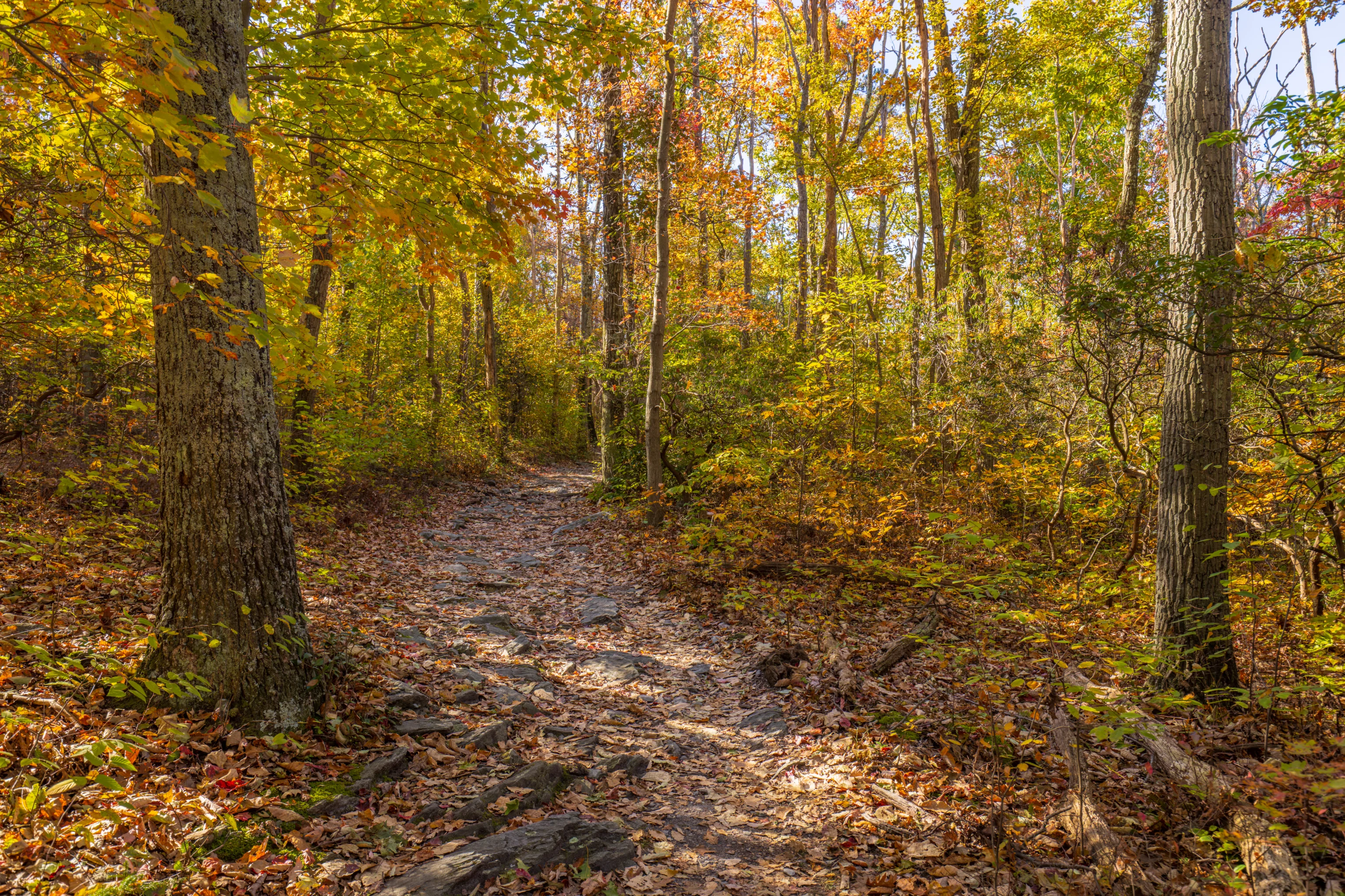
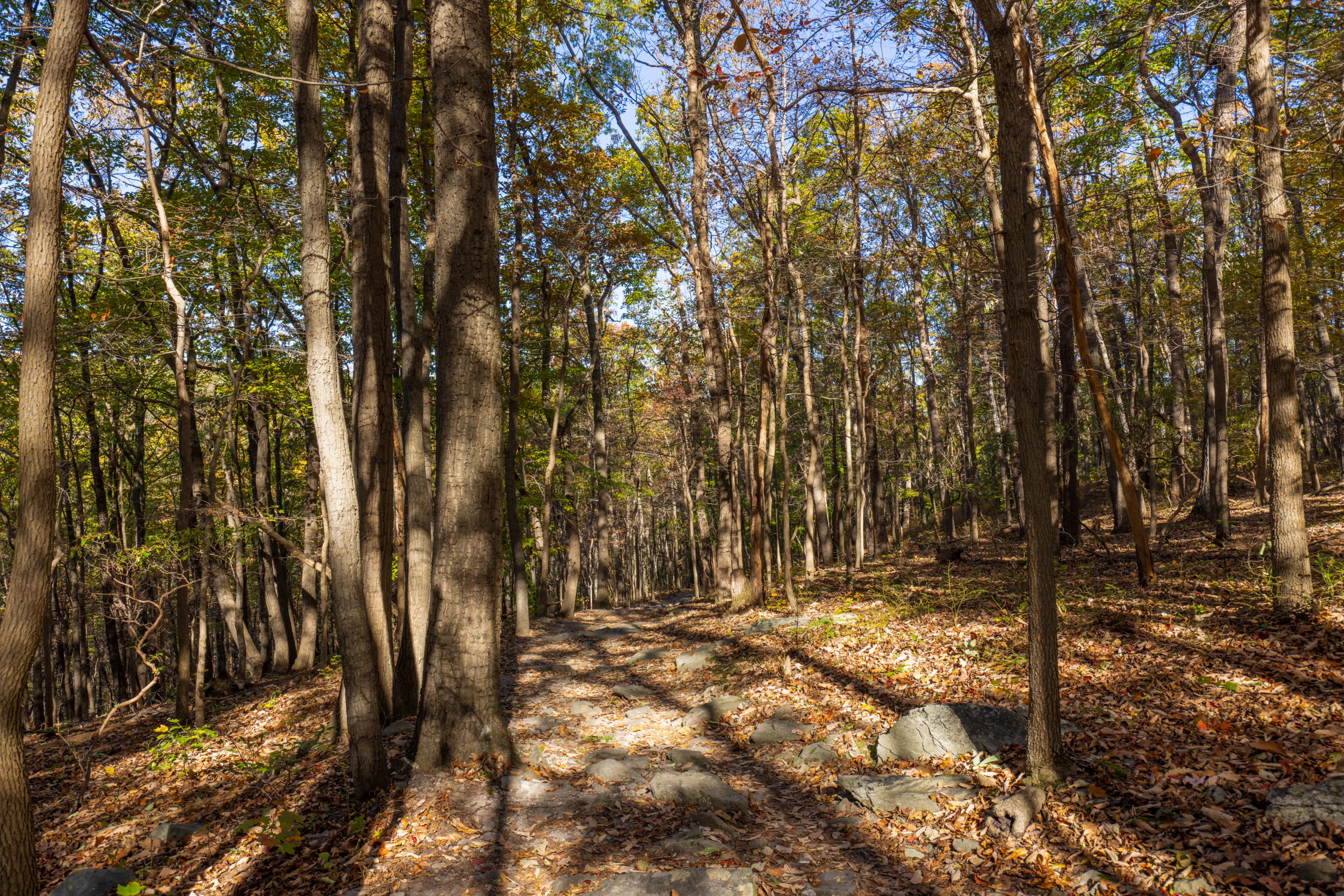
The trail here is significantly rockier than the route from the trailhead to Wolf Rock. It starts off as a gentle descent to the northwest.
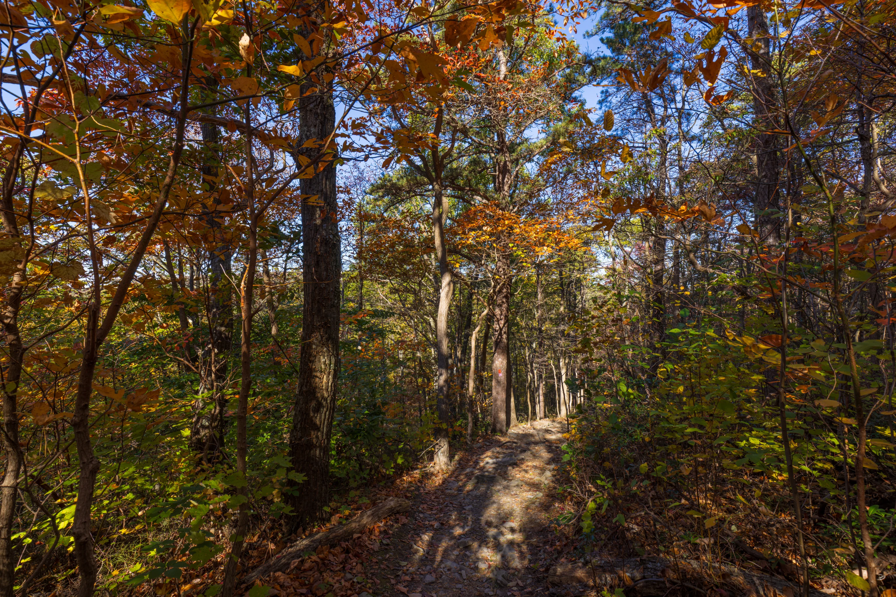
The trail starts descending steeply with a few sharp turns as it heads down the side of the mountain.
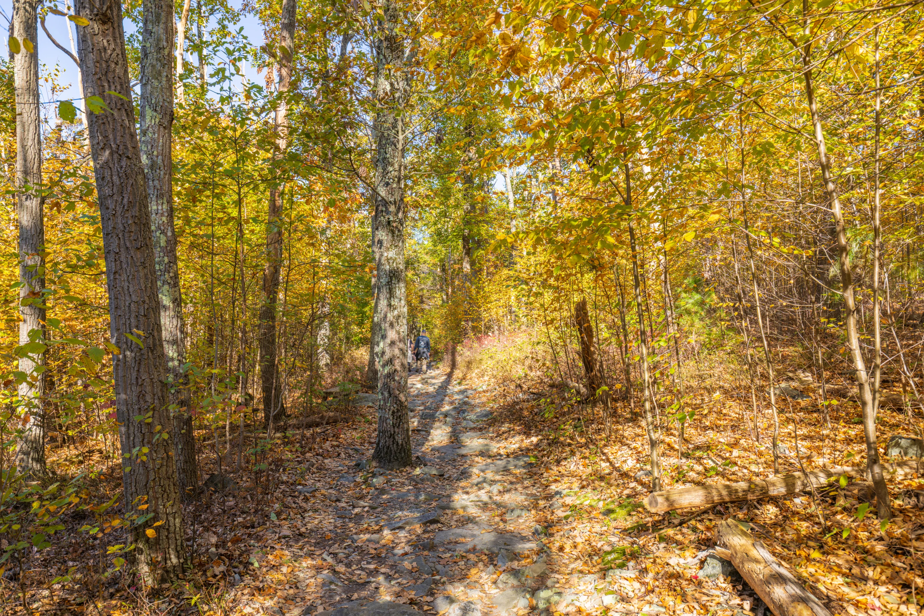
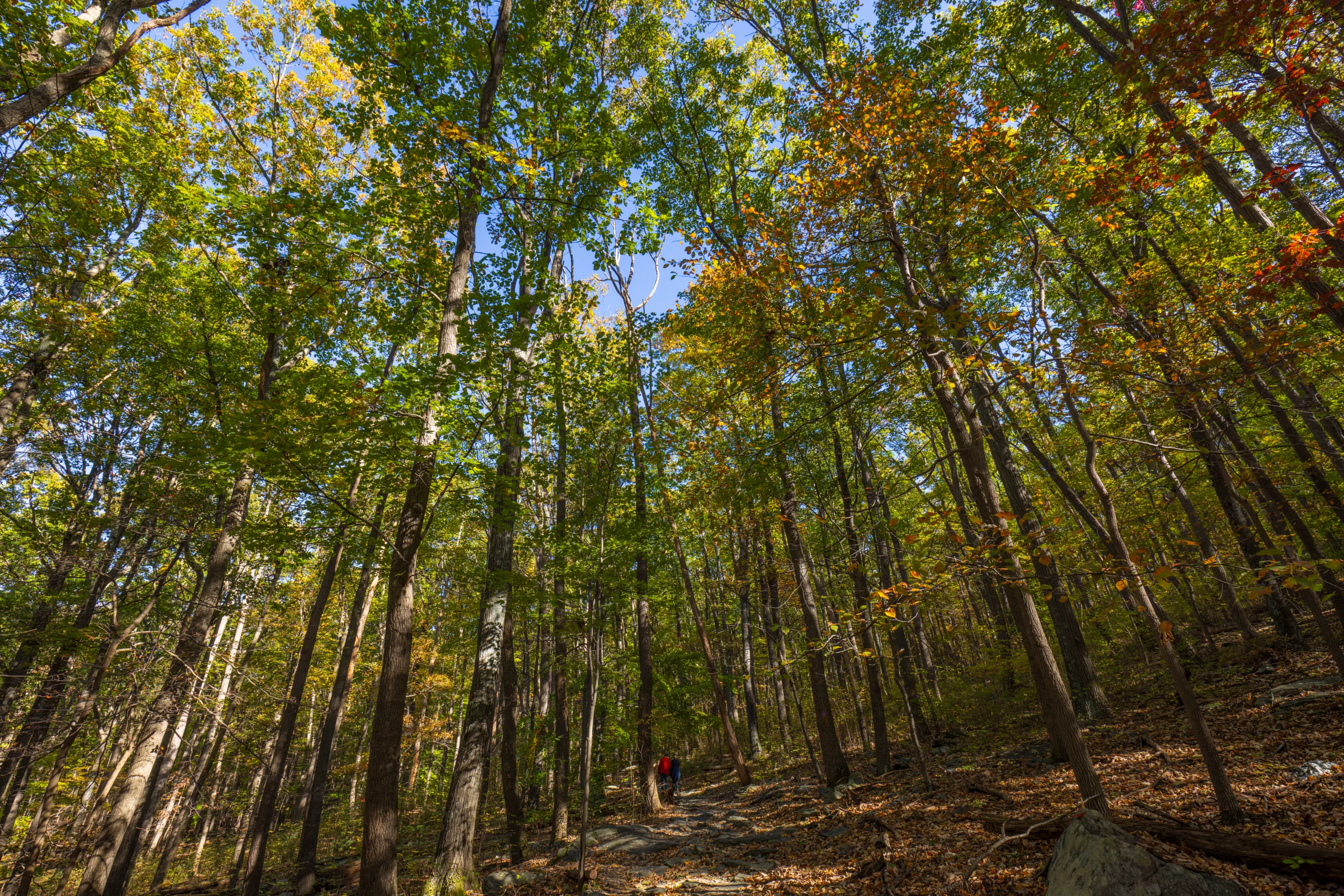
Soon, we came upon another junction. There are three options here. Go straight to continue to a small parking lot, turn left to hike down to the visitor center, and turn right to head to the Thurmont Overlook parking lot. We turned to the right. We came upon a huge group of hikers here who ascended on the trail that we just came down on.
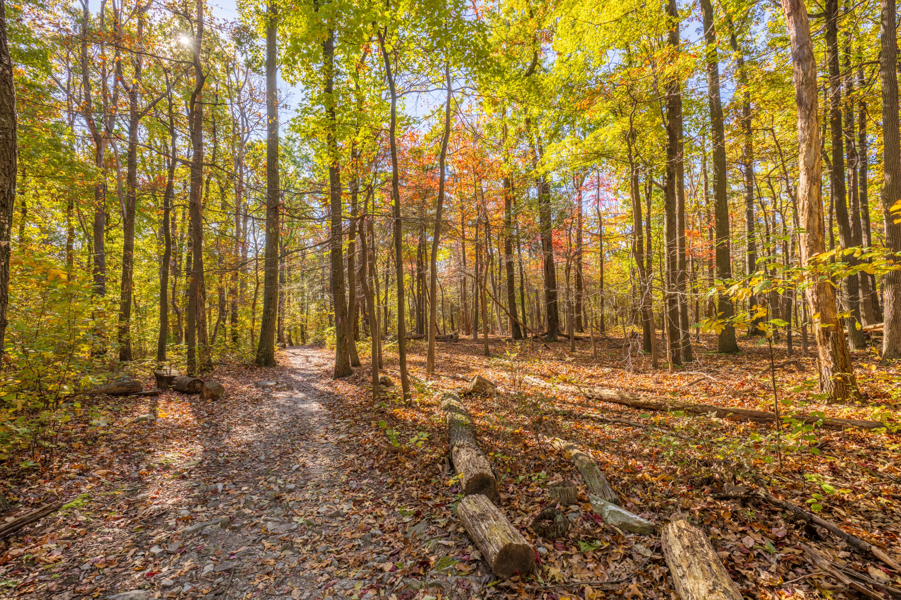
The trail ascends a bit as it heads to the north, regaining some of the elevation that we lost on the way down. But, for the most part, it is relatively flat.
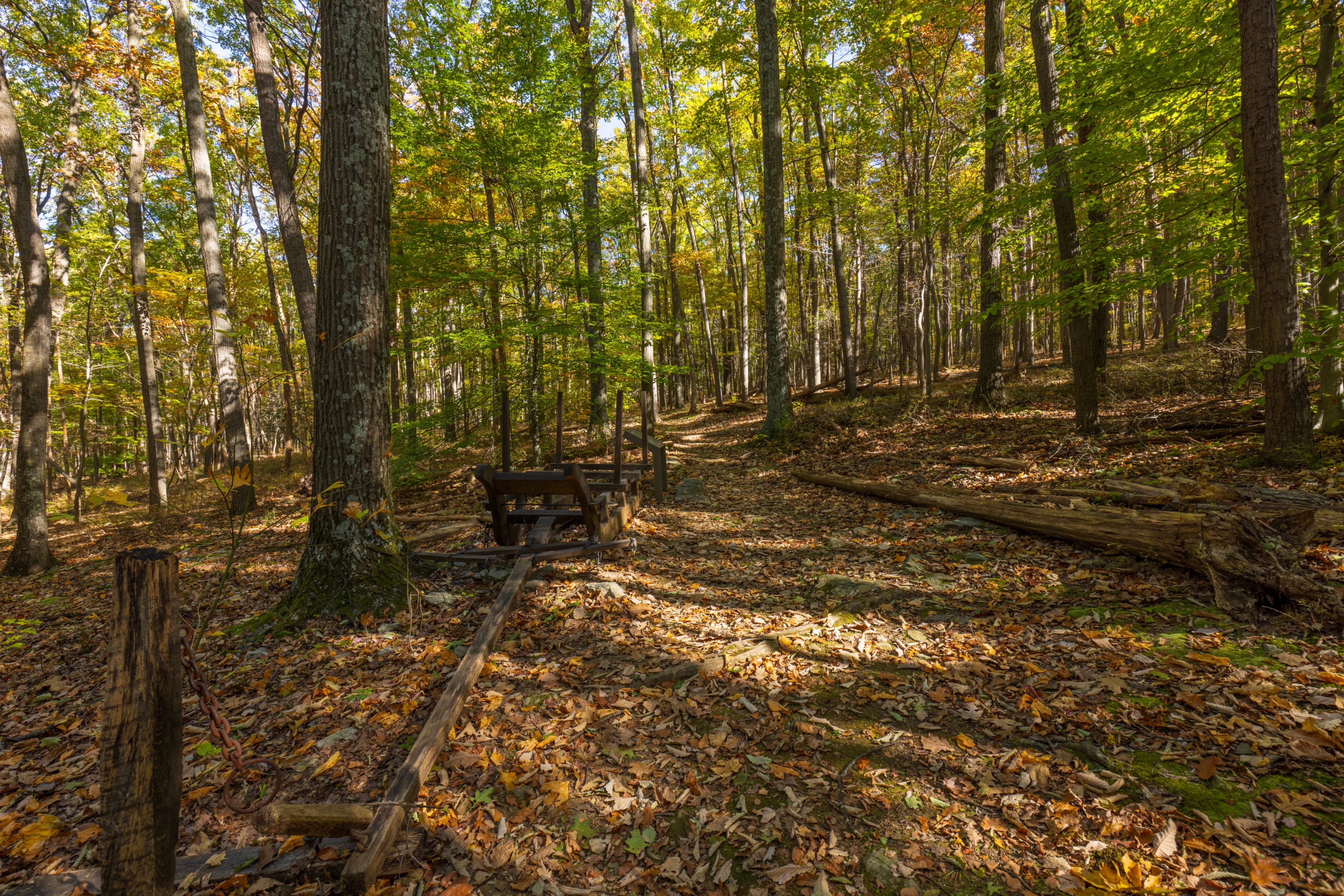
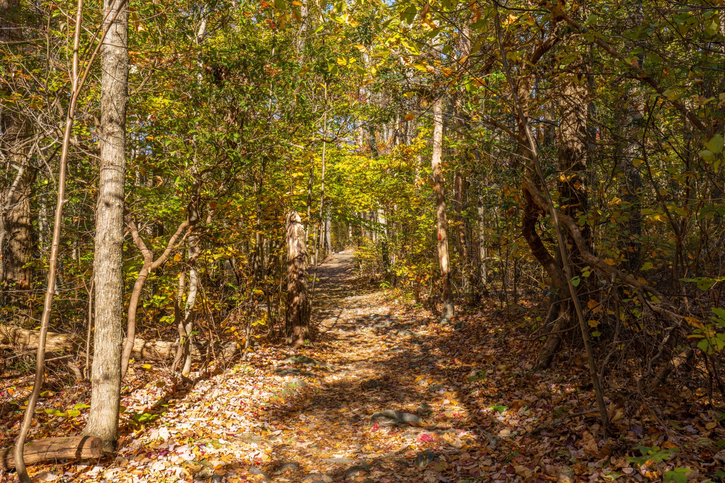
We joined up with the the Charcoal Trail as it provides a slightly more direct route back to the parking lot. If we continued straight ahead, we would have reached the first junction we encountered as we started our hike.
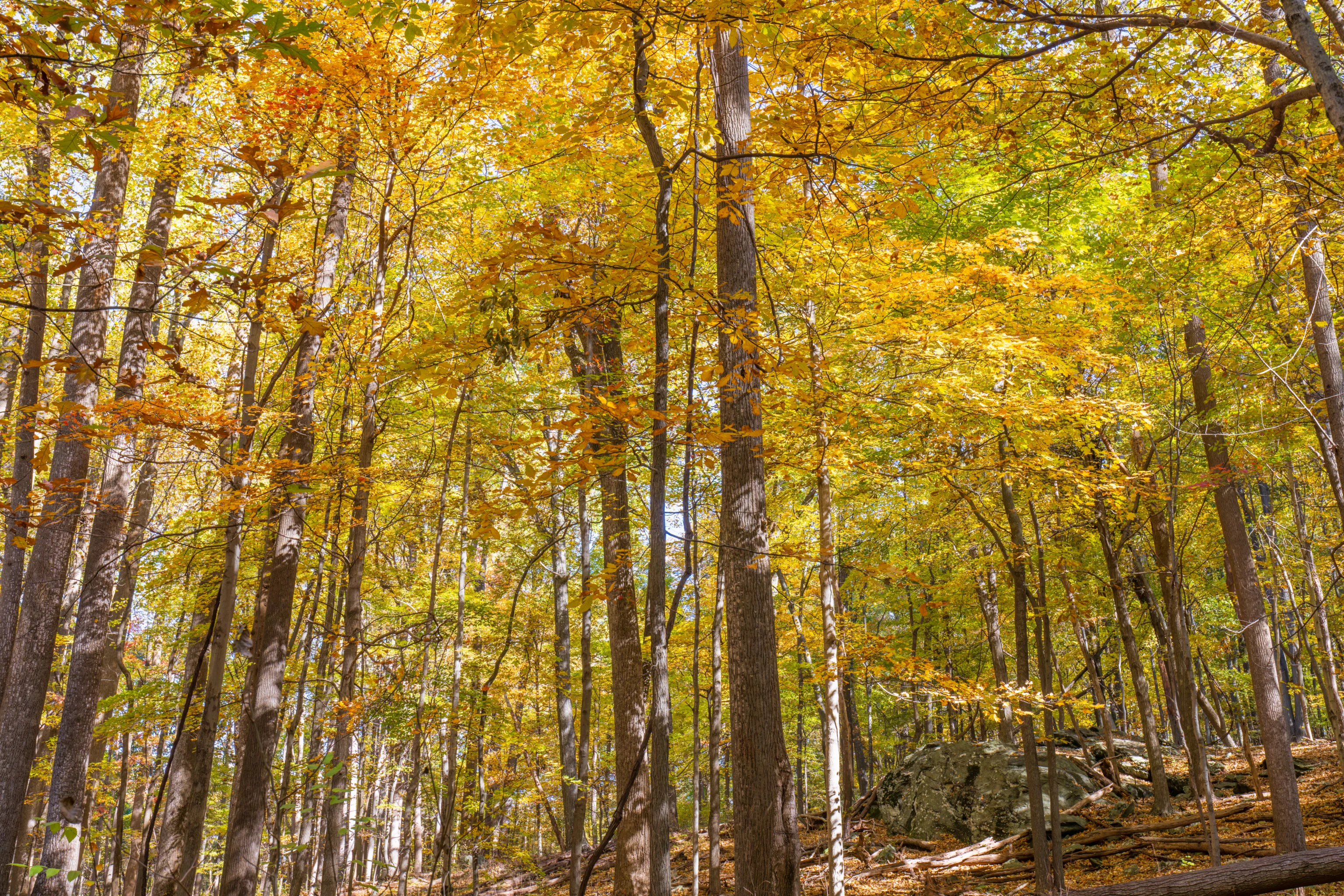
The Charcoal Trail is a short loop to the south of the parking lot. We joined it more or less at its furthest point. We returned by following the trail counter-clockwise, meaning we took a right turn.
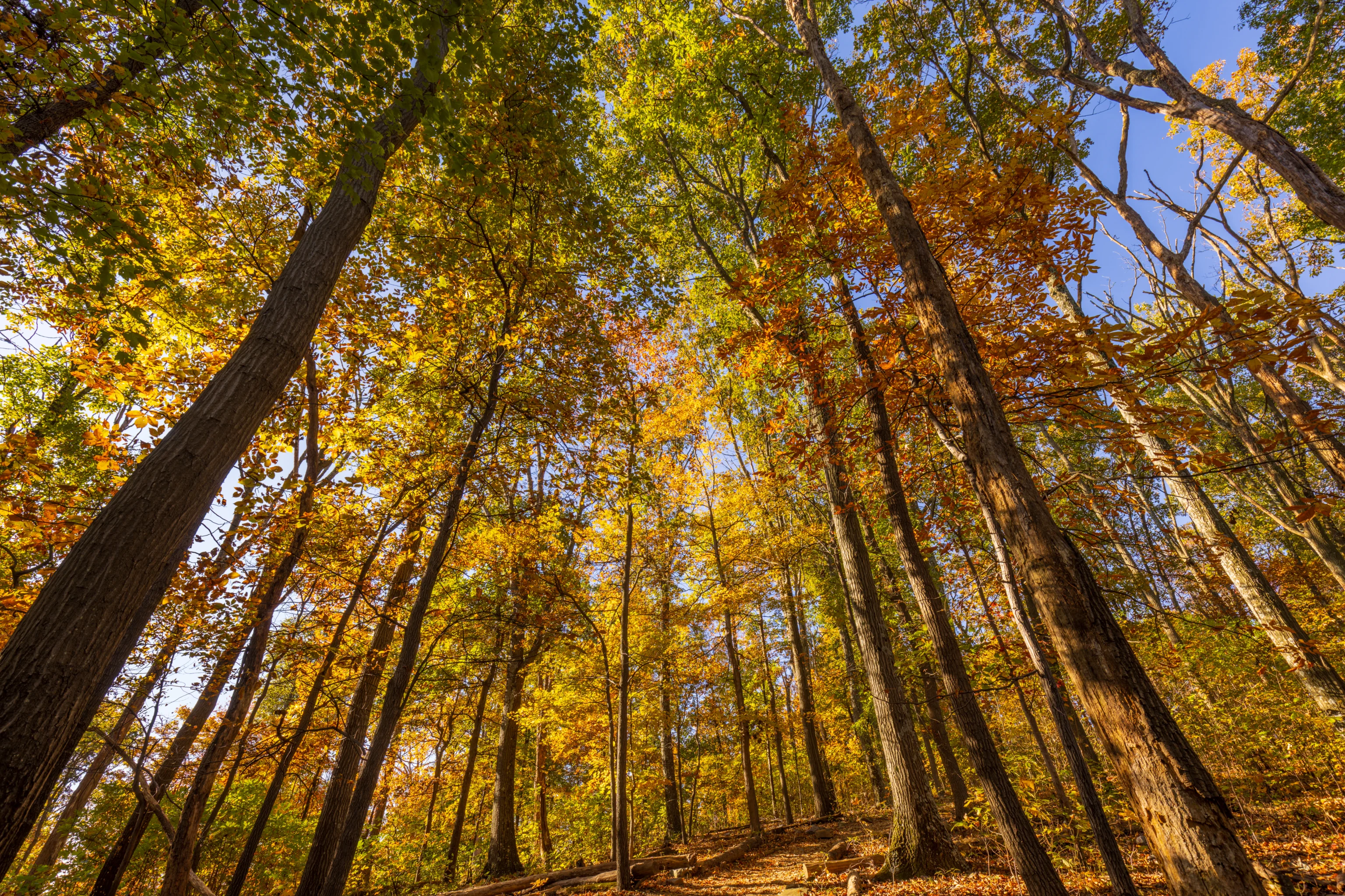
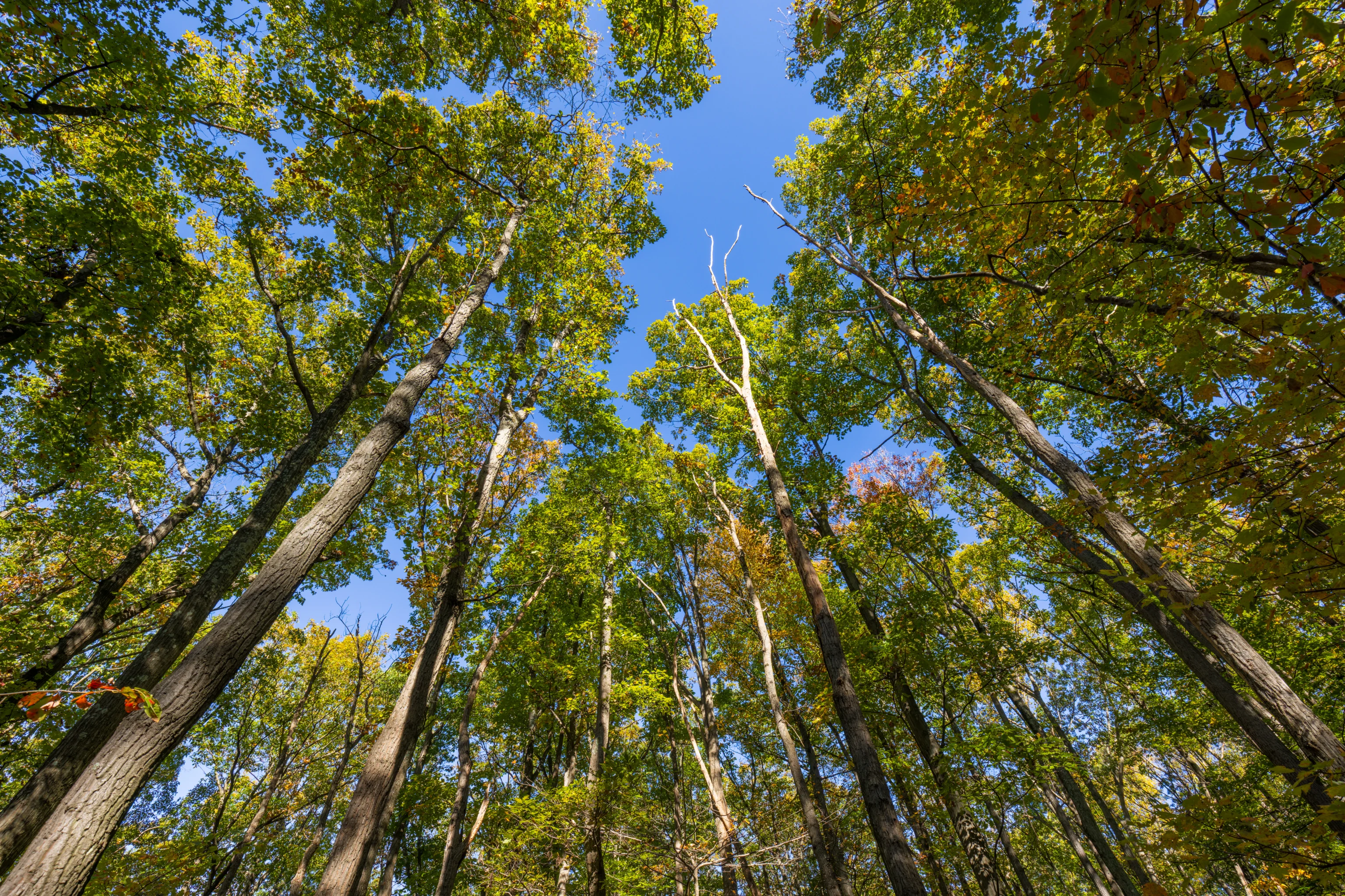
Overall, it didn’t really seem like the foliage was at its peak as there was still a significant amount of green in the canopy above.
Frederick
We made the short 30 minute drive to downtown Frederick for lunch. We decided to try Tsunami, a Japanese fusion restaurant that we haven’t been to before.

Fresh Ahi Tuna | wonton chips | spicy mayo | eel sauce | jalapeno | avocado | seaweed
The menu is quite varied, with various ramen and donburi options as well as bentos. There are also tacos as well as a variety of appetizers and small plates. Many of the items are Chinese and Korean inspired.
We started out with the Ahi Tuna Nachos. They were very good with tasty chips and a good selection of flavors.

chashu pork | egg noodle | menma | mushroom | poached egg | spicy chili oil
We also got the Tsunami Ramen, which is their Tonkotsu Ramen but with spicy chili oil. The soup flavor was ok, better than most ramen in the USA but not competitive with decent Japanese ramen. Unfortunately, it suffered from very dry and firm chashu, probably the worst attempt at chashu we’ve had in awhile.

Chashu Pork | iceberg lettuce | pickled red onion | cucumber & bell pepper relish | Thai style peanut sauce | jalapeno | cheese
The tacos could have used more meat but otherwise were very good. The chashu here was significantly better than the ones used in the ramen.
After lunch, we walked around Frederick a bit and decided to have dessert at Frederick Fudge & Ice Cream, on the east side of Frederick’s downtown area.
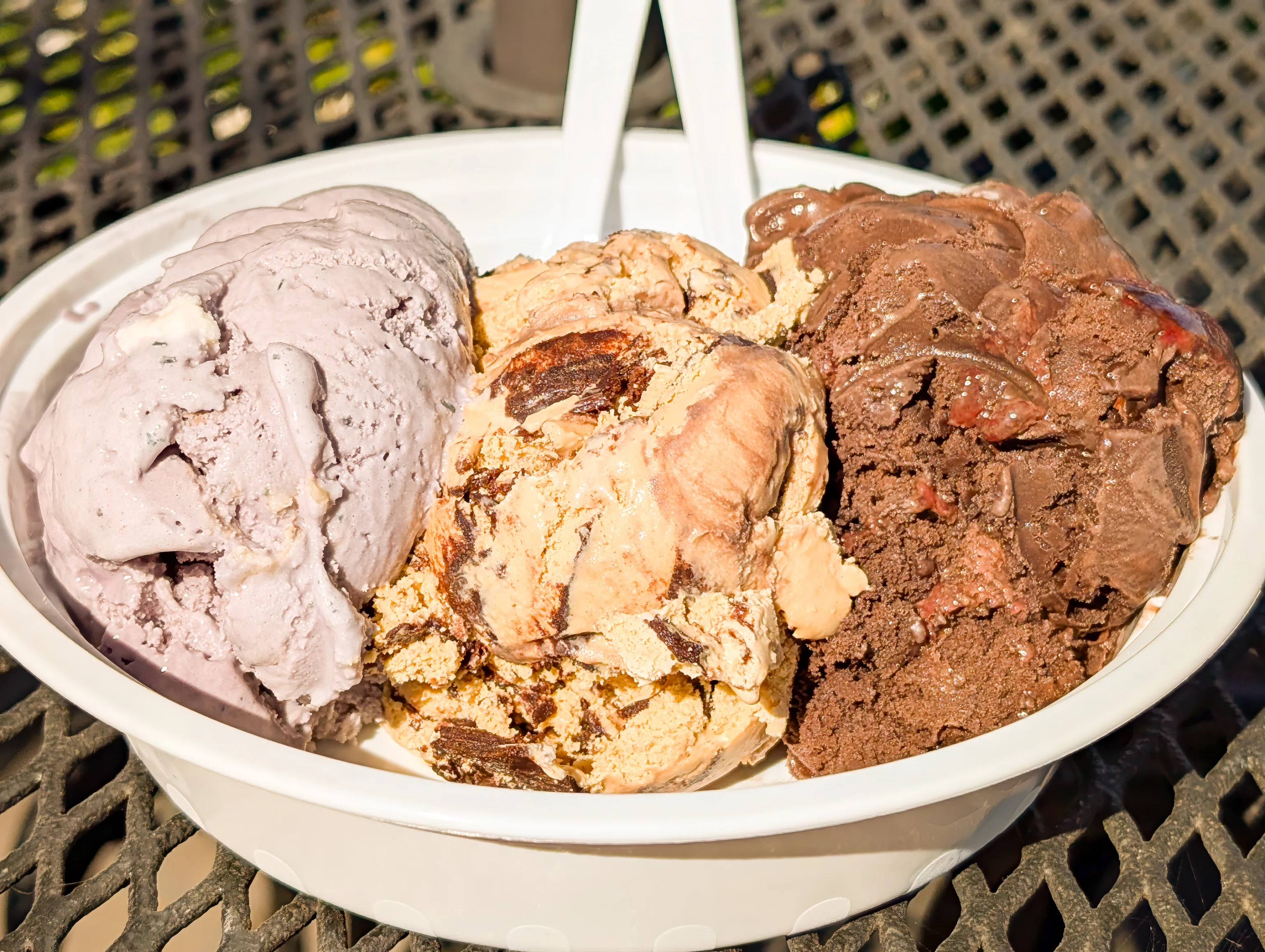
We decided to get 3 scoops of Raspberry, Cappuccino Crunch, and something that we forgot the name of with dark chocolate and raspberry sauce . Although we’ve been here once before, we forgot how huge the scoops are! The three flavors that we got were all excellent and were the only three that we tasted this visit.
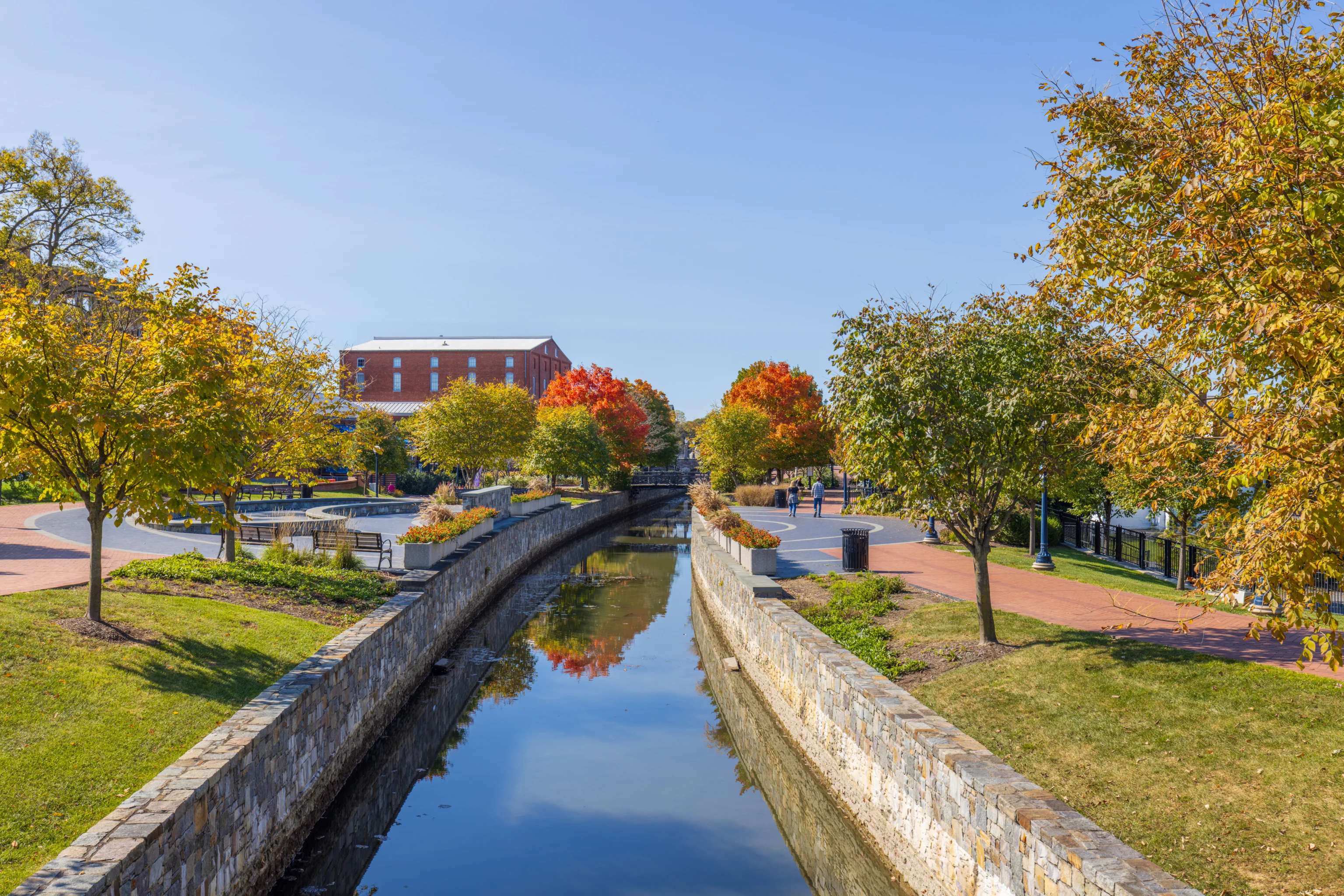
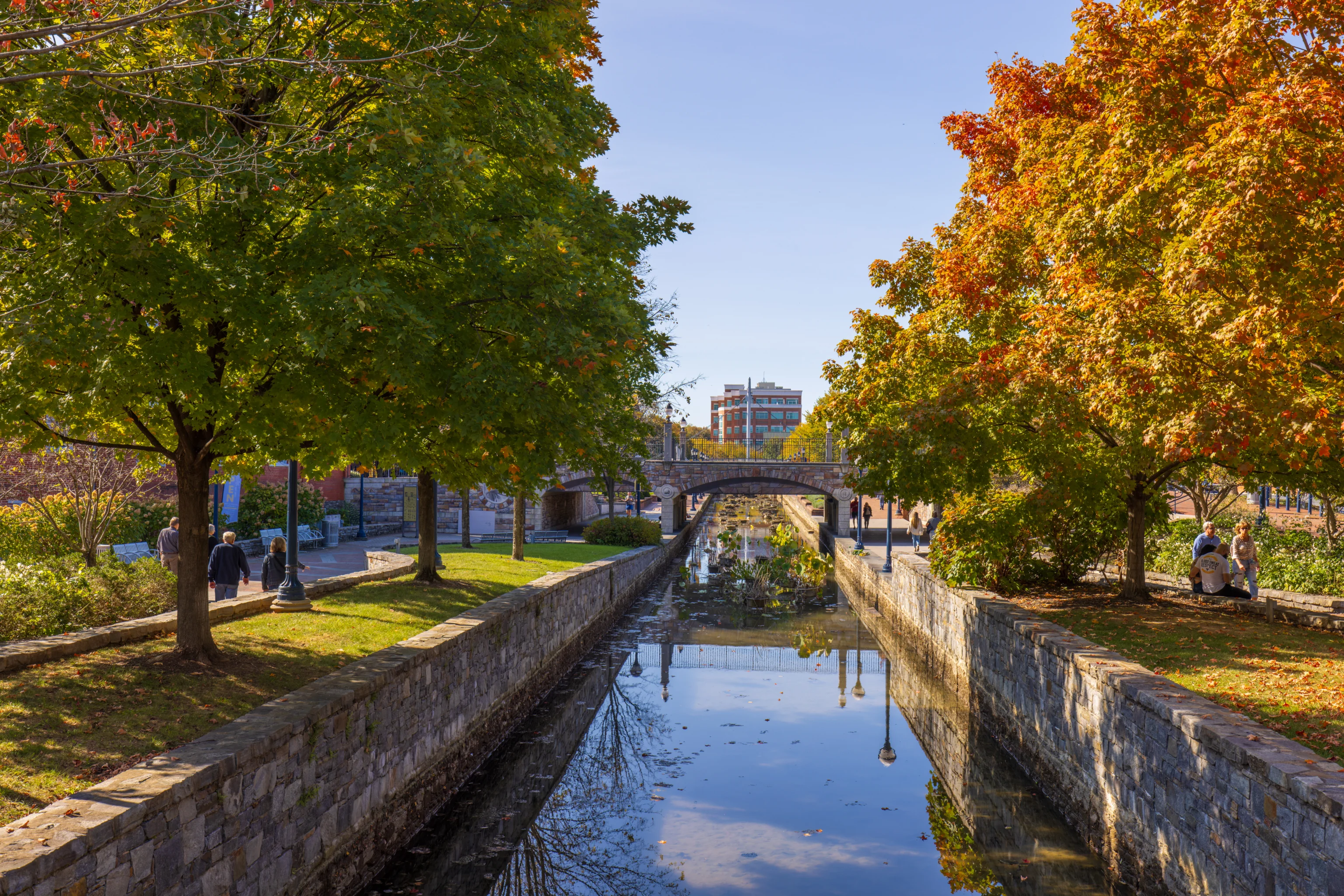
After dessert, we walked two blocks to the south to reach Carroll Creek Park. This park runs along Carroll Creek through downtown Frederick. We crossed the creek and started walking along its southern side. While crossing over, we enjoyed this view to the west, towards downtown. It was pretty quiet here, other than the vehicular traffic on the bridge of course! Like Catoctin, most of the trees here were still pretty green, though we did see two very red trees up ahead.
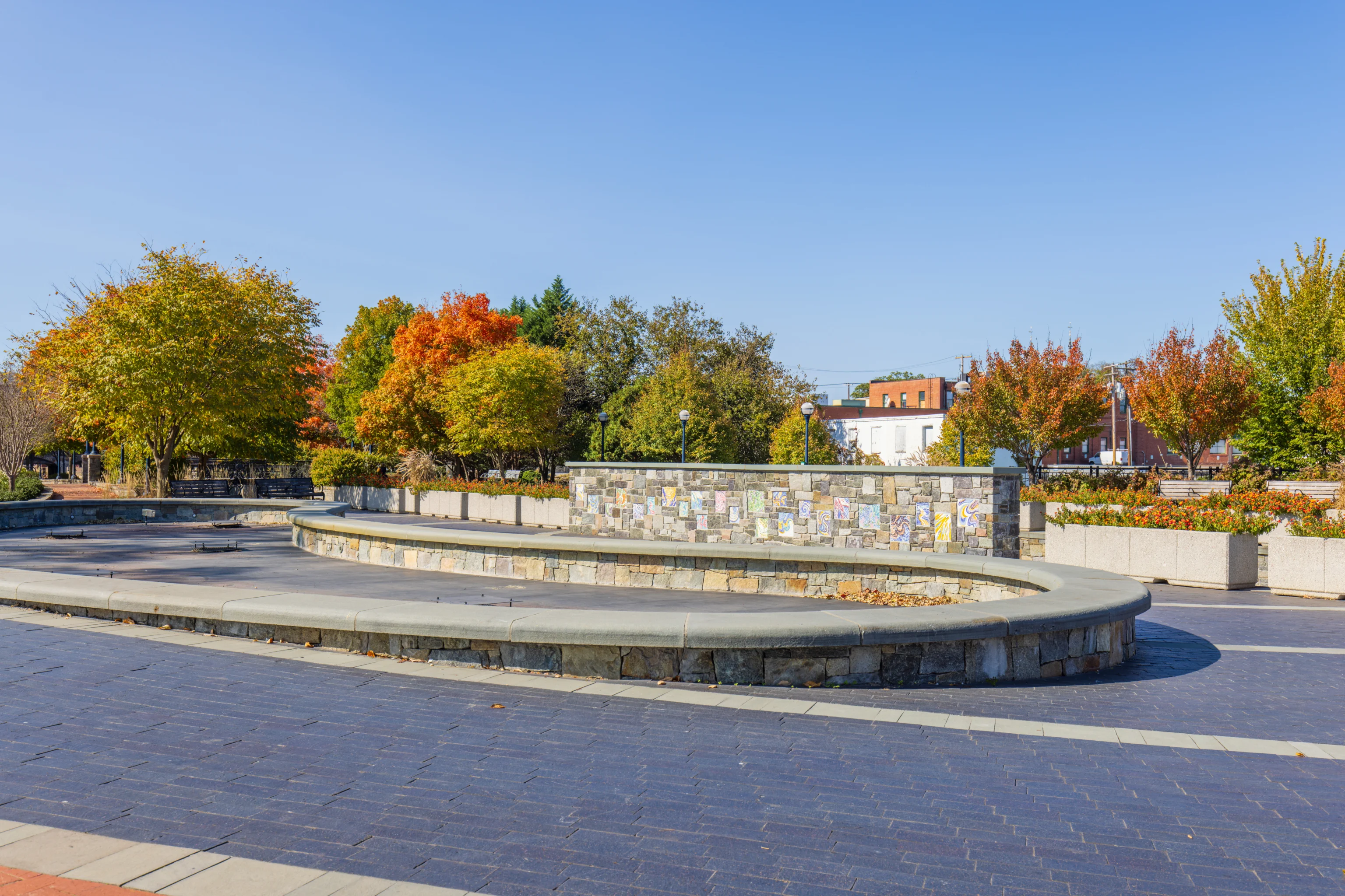
This empty pool of water reminded us of Europe in the winter! There many benches in the area, making this a nice place to sit and relax.
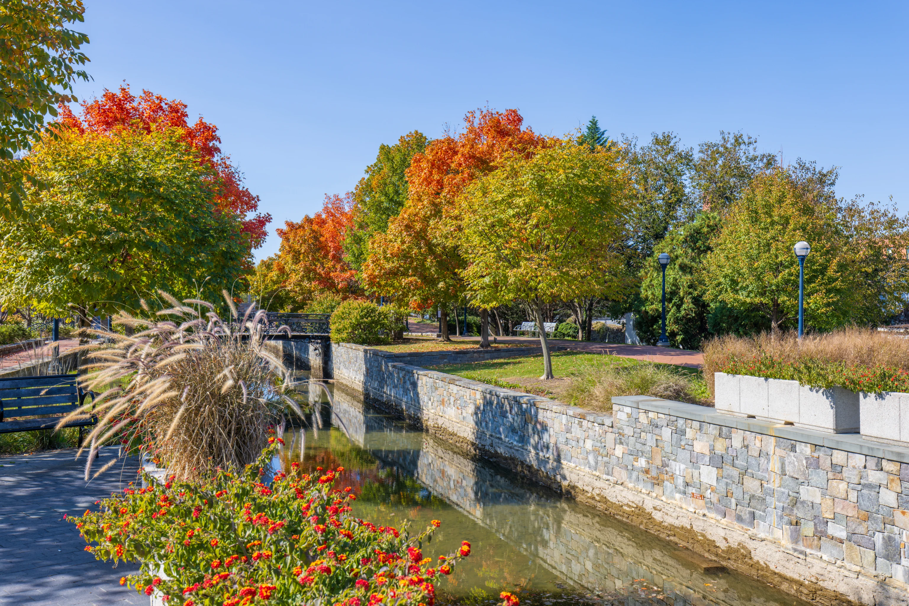
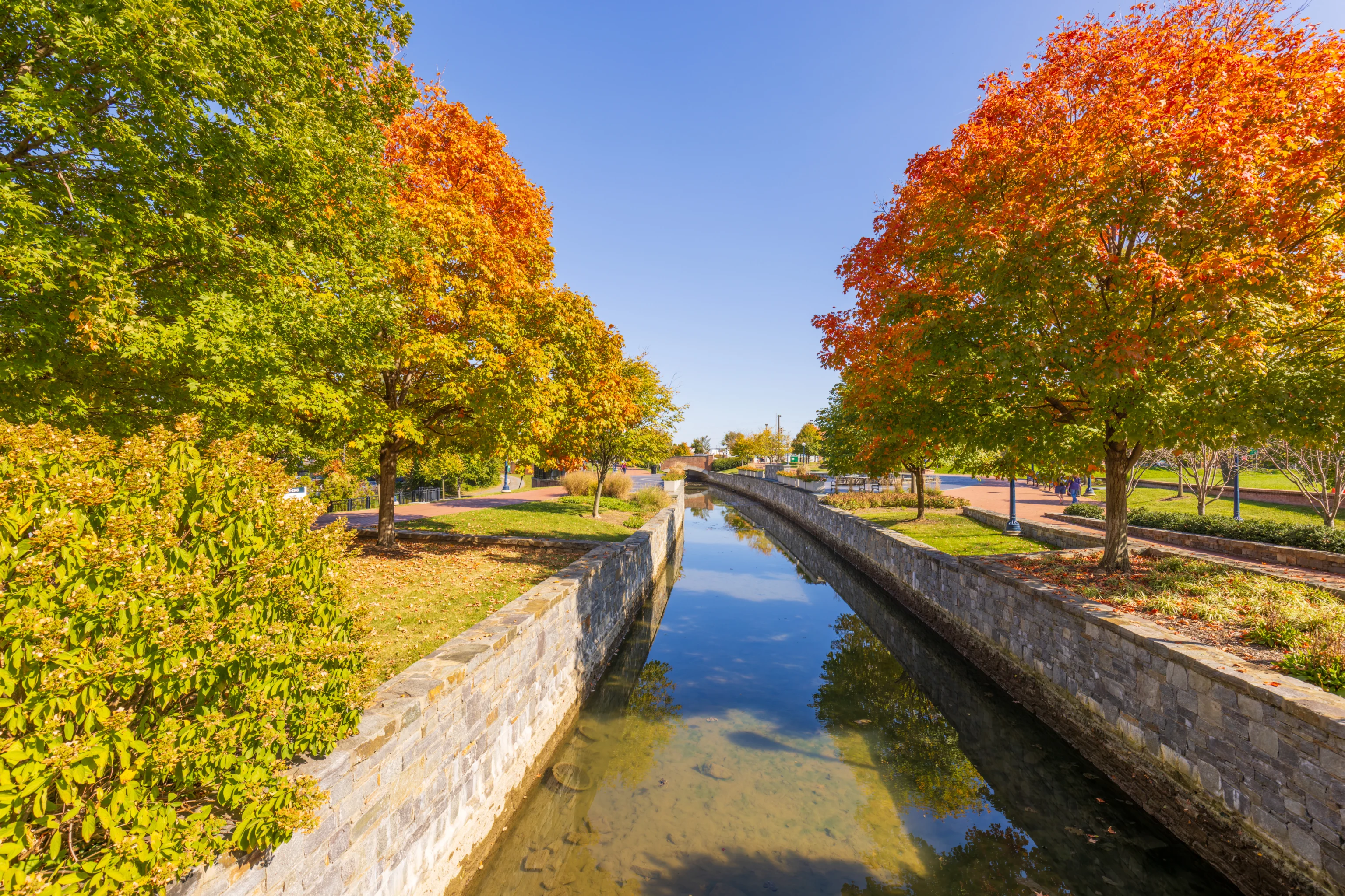
We continued on, taking a look at the view by the creek. The red trees were just ahead.
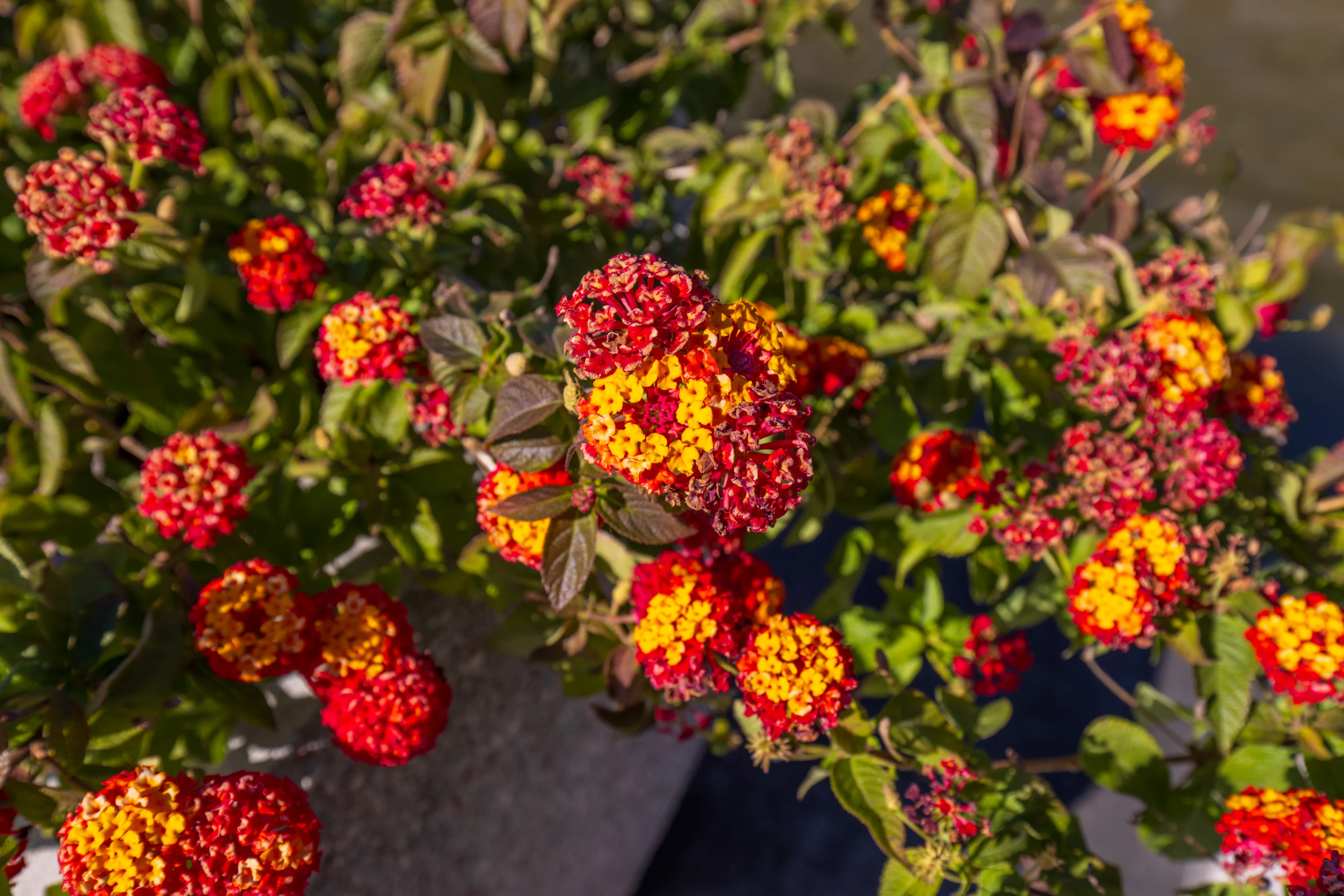
There were many identical flowers planted here. It looks like they’ve finished blooming and are on their way out.
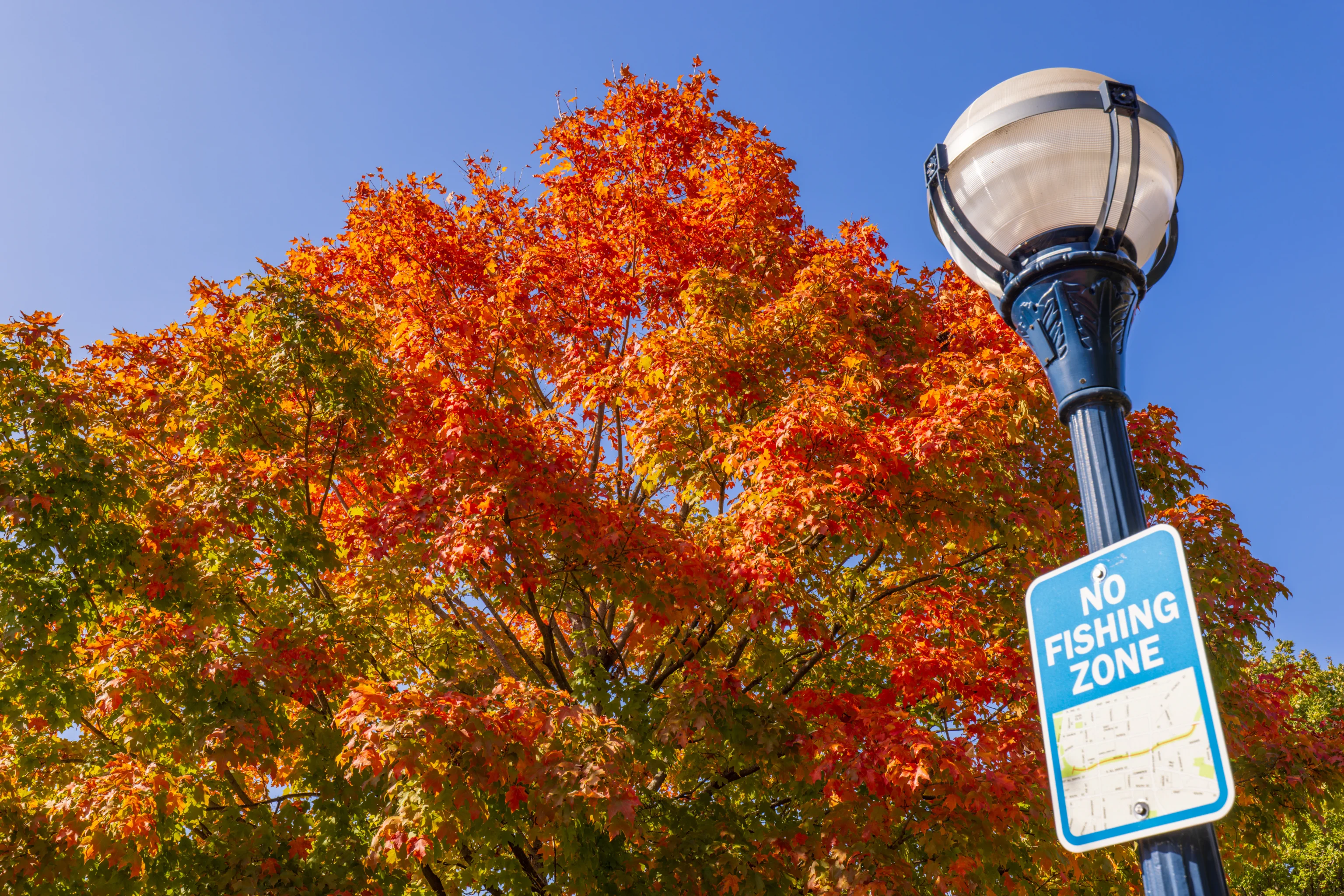
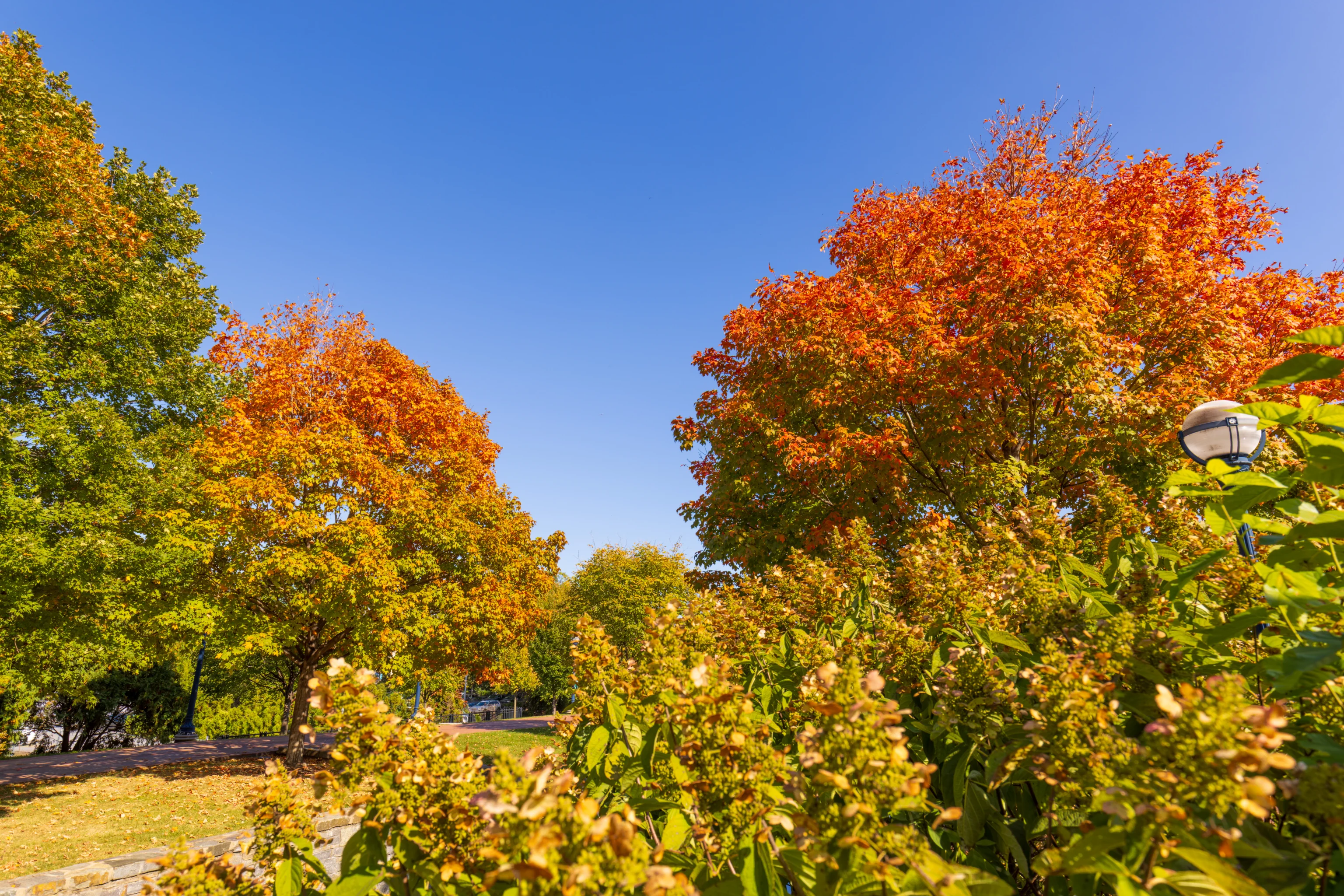
These are probably the prettiest trees we saw today!
This was the view looking ahead to the west from a small pedestrian bridge that crosses over the creek.
This was the view looking back to the east from the same bridge. We didn’t cross the creek here, opting to stay on the south side.
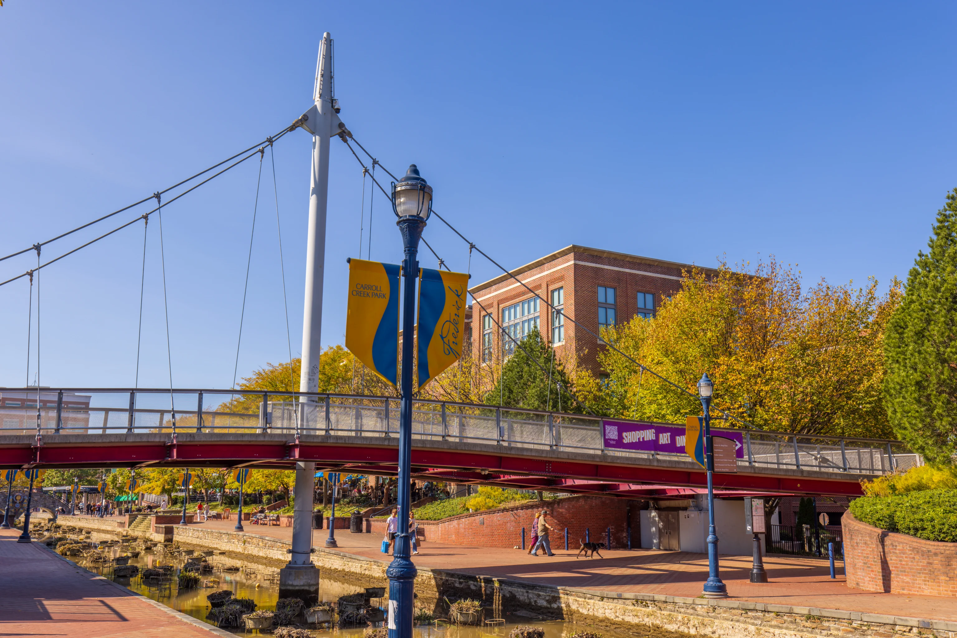
This fancy pedestrian bridge crosses the creek, with both ends the equivalent of a floor up from creek level. There are planters in this section of the creek, though the plants in them are all dead. The water level in the creek is also pretty low, causing the planters to be come visible as typically they are underwater.
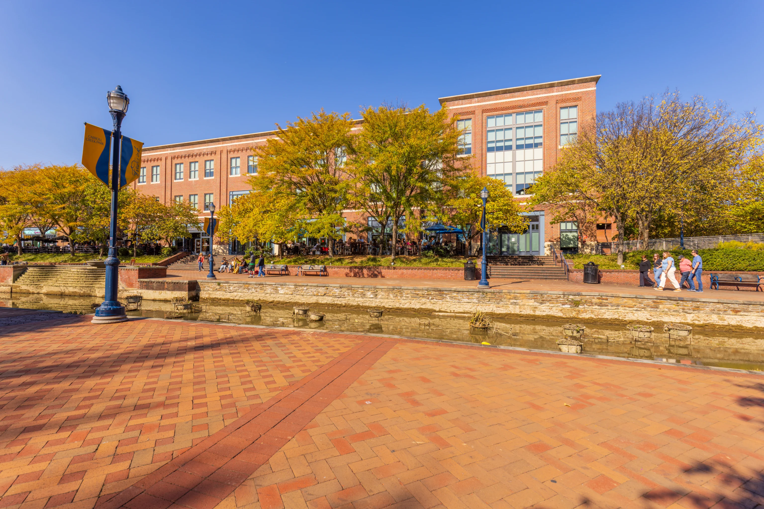
This part of the park was livelier with many people walking around. The row of restaurants here on the north side of the creek were very busy.
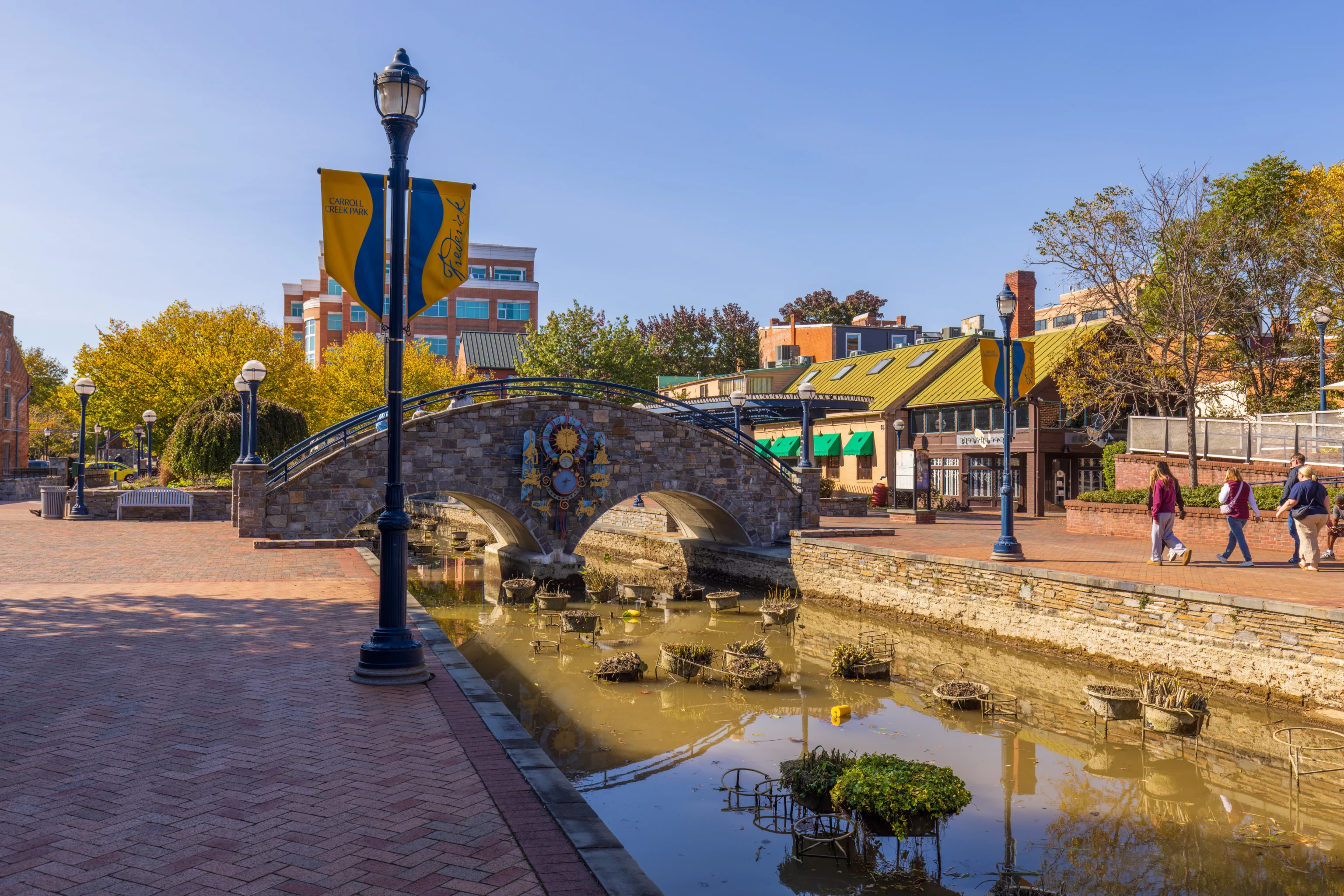
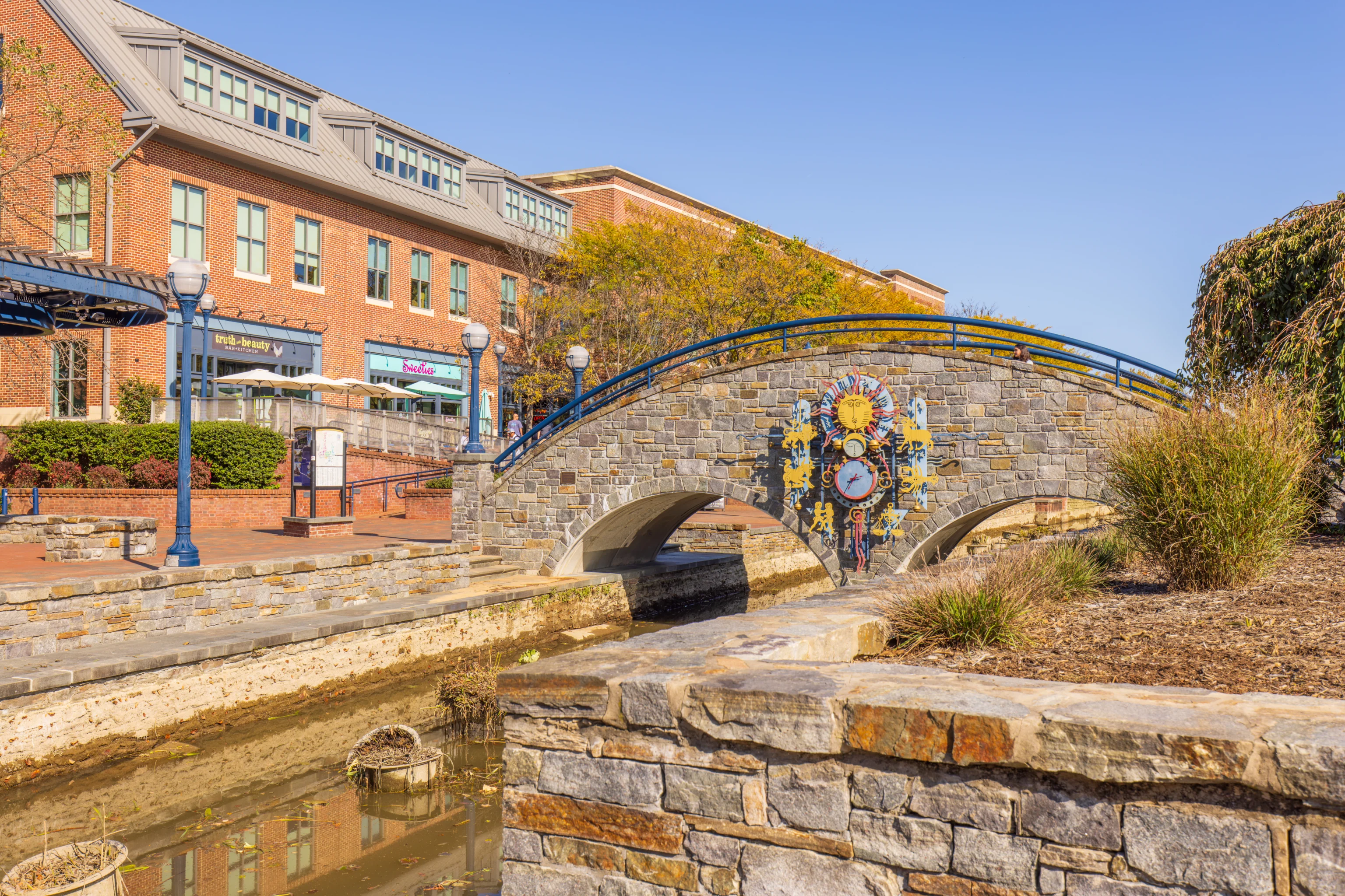
This arched pedestrian bridge has western zodiac themed clocks on both sides. After reaching this point, we visited The Perfect Blend Cafe to get some coffee. And then, we ended our visit by spending some time shopping in The Trail House, an outdoor goods store. They have quite a bit packed into a small shop.
One Reply to “Fall Foliage at Catoctin Mountain Park”