
After leaving Martinsburg, WV in the morning, we visited the C&O Canal’s Cushwa Basin at Williamsport, MD. After a brief stroll, we checked out the visitor center and then drove 25 minutes upriver to Fort Frederick State Park. We caught the end of a musket firing demonstration, listened to some rangers talk, and walked through the fort’s historical buildings.
Cushwa Basin at the C&O Canal
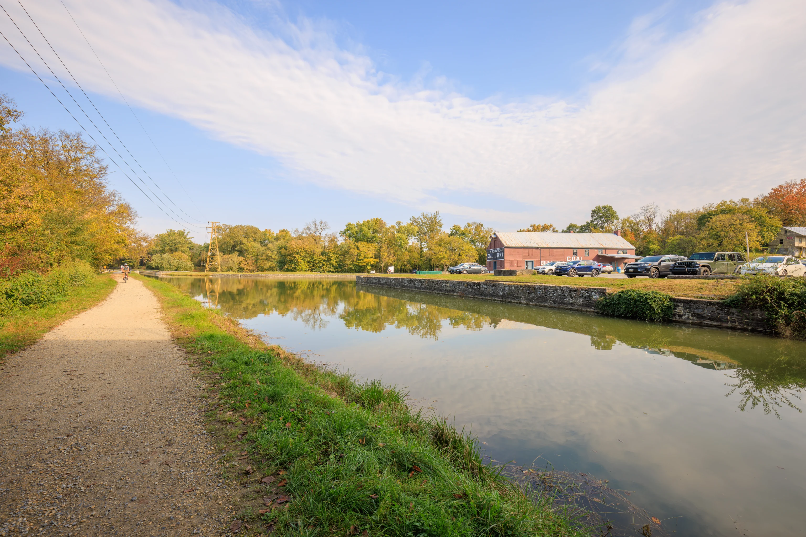
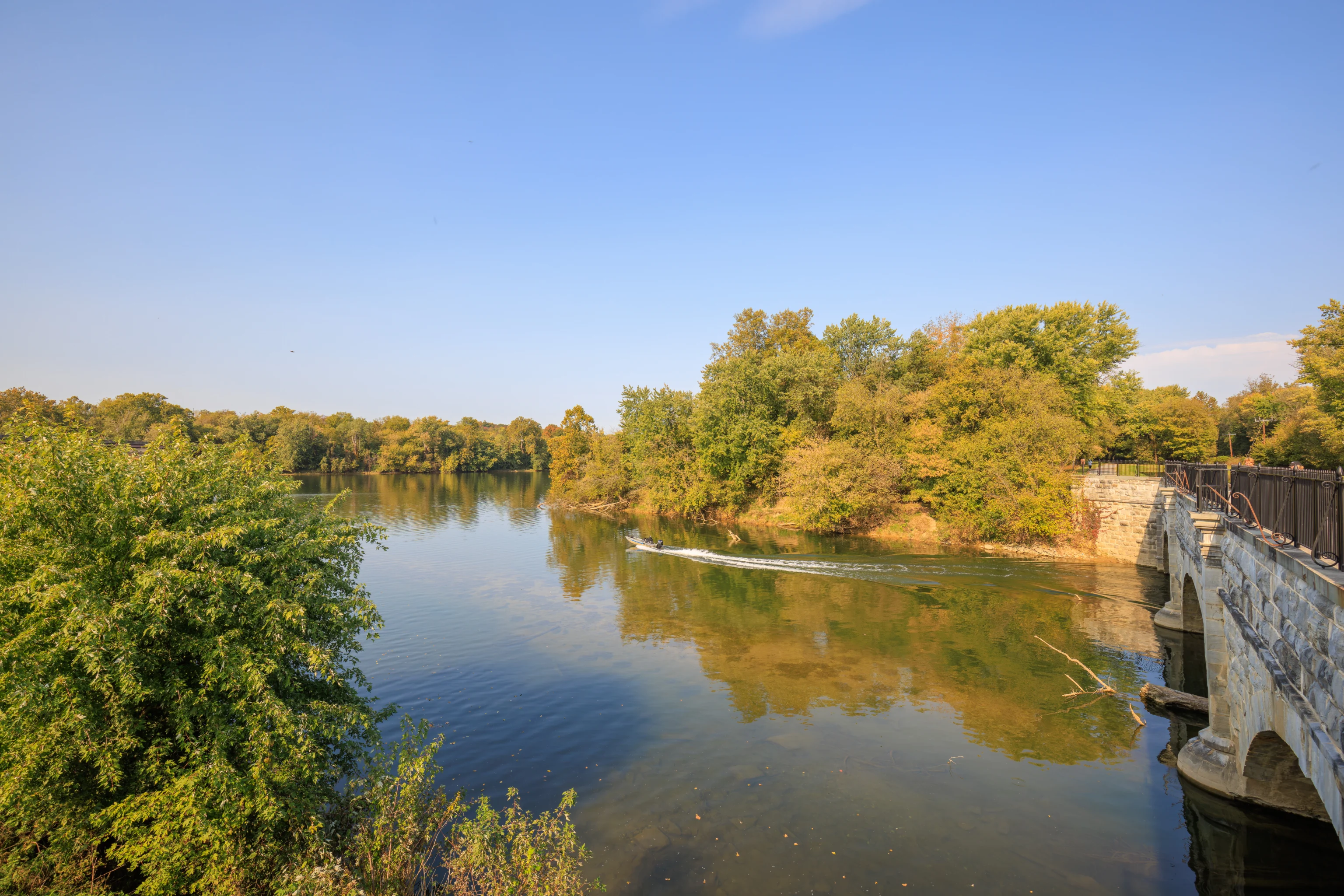
After a lackluster viewing of the comet C/2023 A3 (Tsuchinshan-ATLAS) last night at Shenandoah National Park, we drove north to Martinsburg, WV where we stayed the night at the Fairfield Inn. After breakfast, we drove to the north and stopped by the C&O Canal in Williamsport, MD. One major feature of the canal here is the Cushwa Basin. This large pool of water on the canal provided a port area as well as a place where boats could turn around.
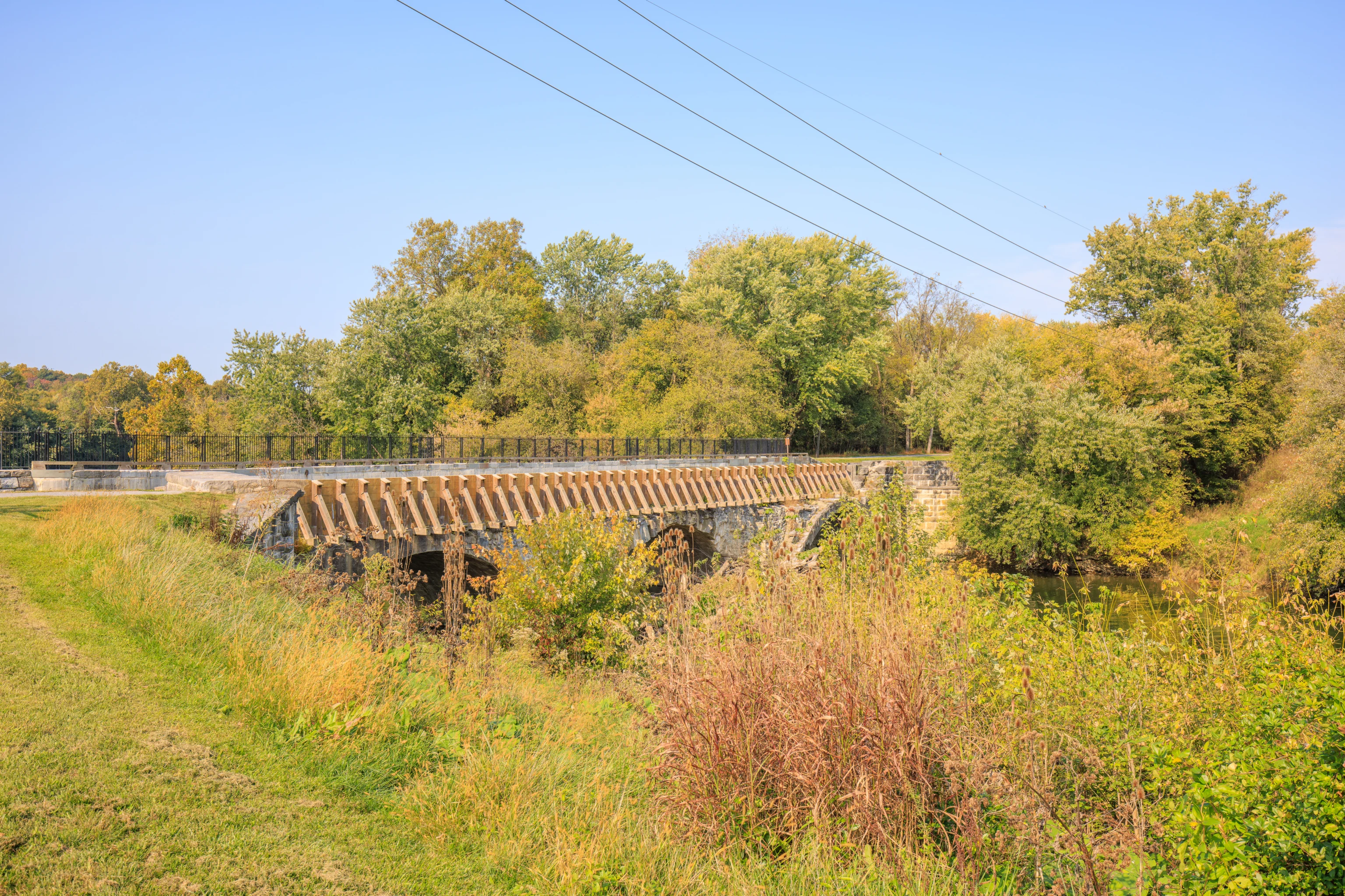
We parked in a fairly large and empty parking lot by the Cushwa Basin and took a quick look around. We decided to cross over to the other side of the canal to see the Conococheague Aqueduct, just to the north of the Cushwa Basin. We walked a short distance to the south to cross over the canal via a bridge. Part of the bridge’s structure can be seen here on the right side of the photo.
This bridge is actually a former railroad bridge. It could be raised to allow canal traffic to pass underneath. The bridge allowed trains to bring coal to a powerplant, which was decommissioned in 2012, that was located nearby.
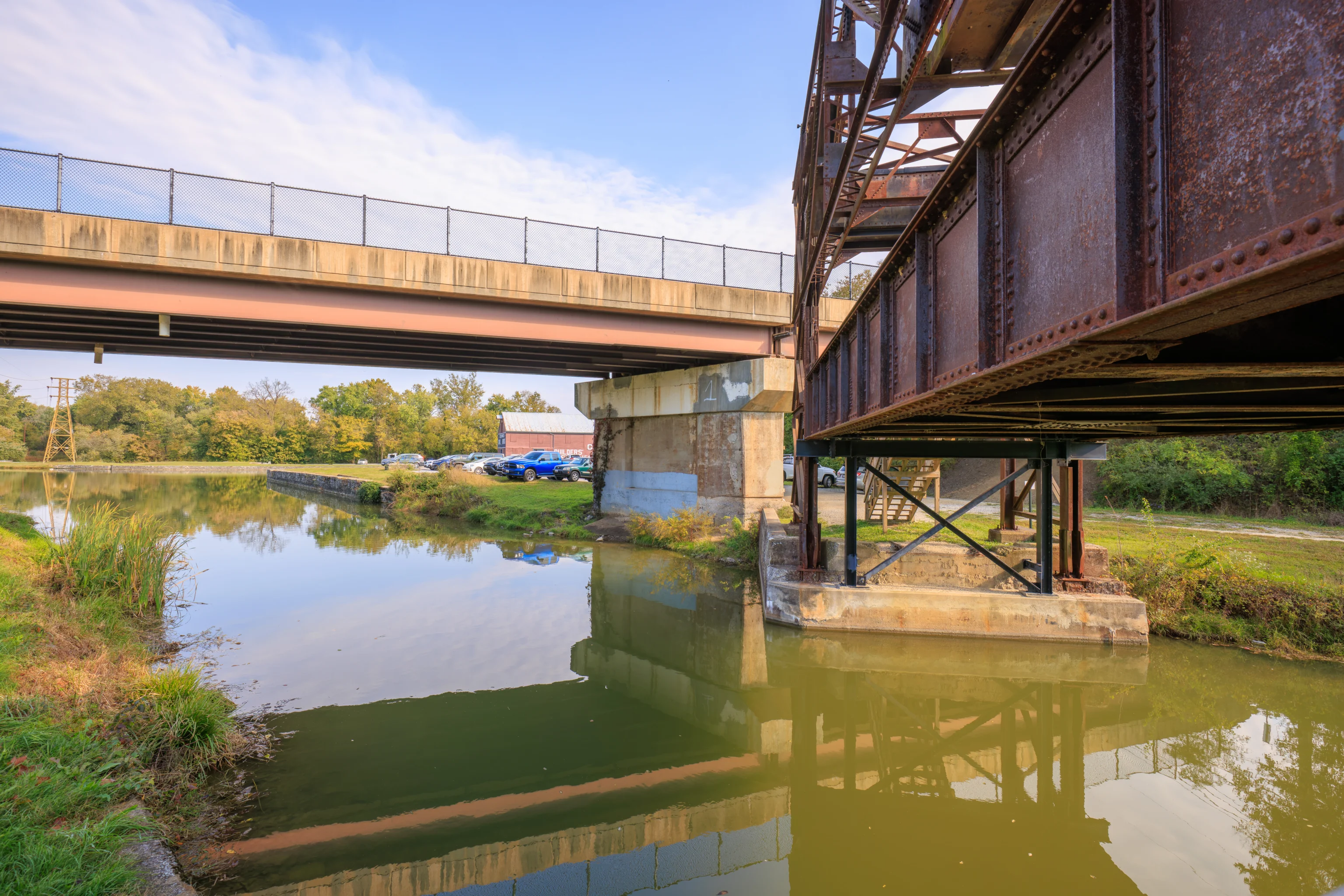
Supports have been placed under the bridge, keeping it in a permanent elevated position.
After reaching the other side of the canal, we walked to the north towards the Cushwa Basin.
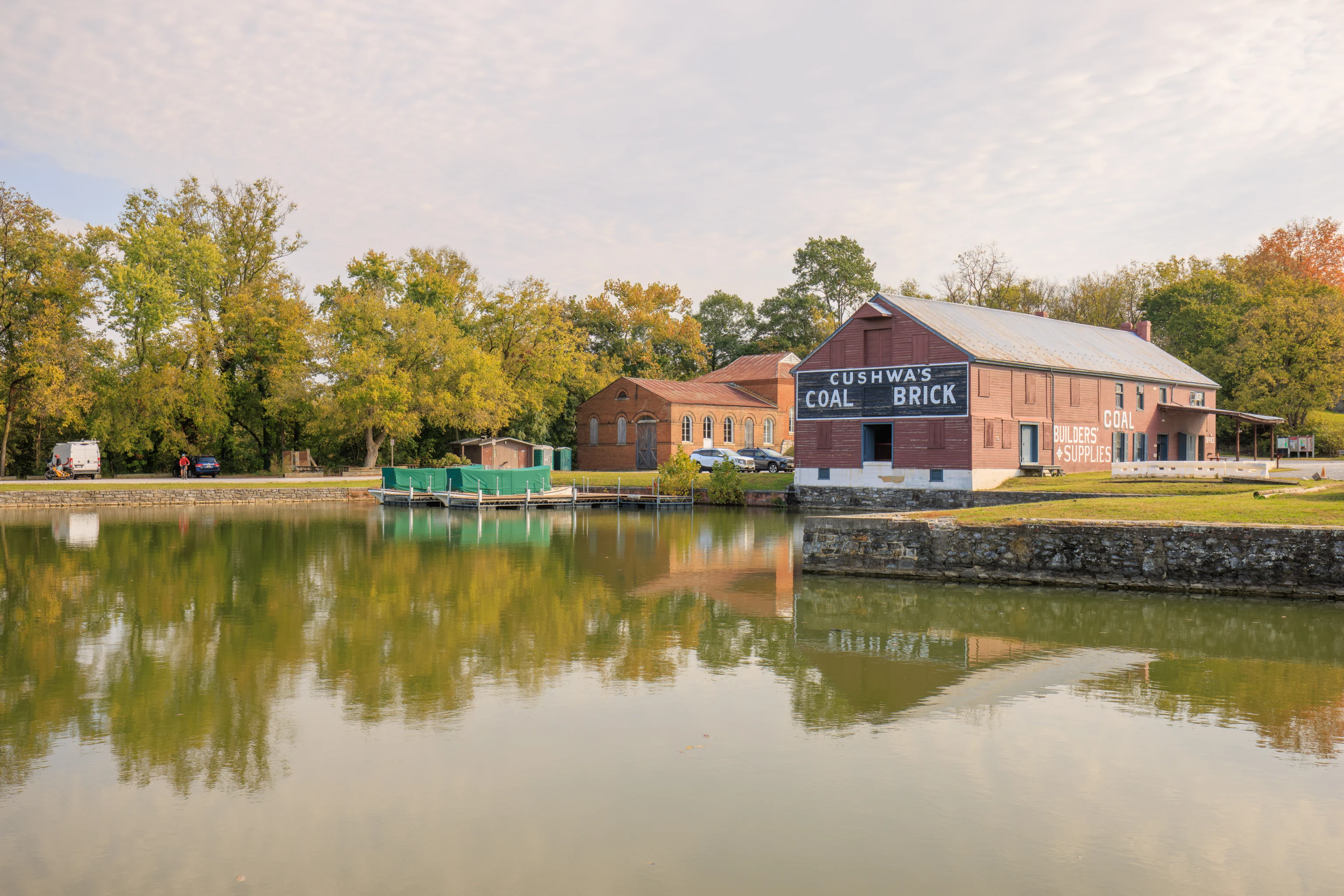
This historic building on the east side of Cushwa Basin, the Cushwa Warehouse, serves as a visitor center for the C&O Canal. This building was here before the canal was built and was used as a warehouse until the 70s.
We continued walking north, quickly reaching the south end of the aqueduct.
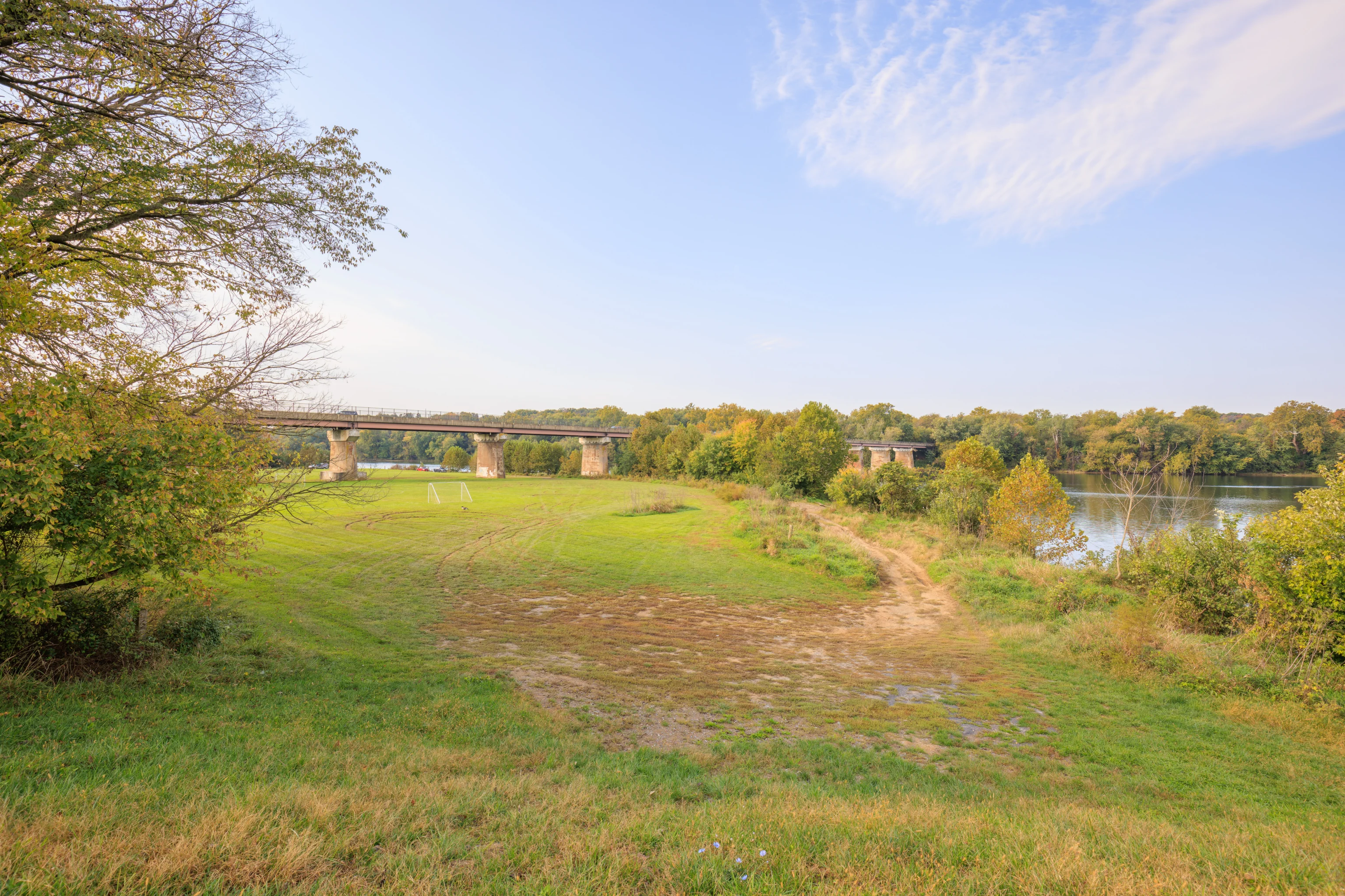
To the west, we could see the US-11 highway bridge which we arrived on from West Virginia on the other side of the Potomac River. We also spotted a lone Canada Goose in the field in front of us. It is out by the soccer goal.
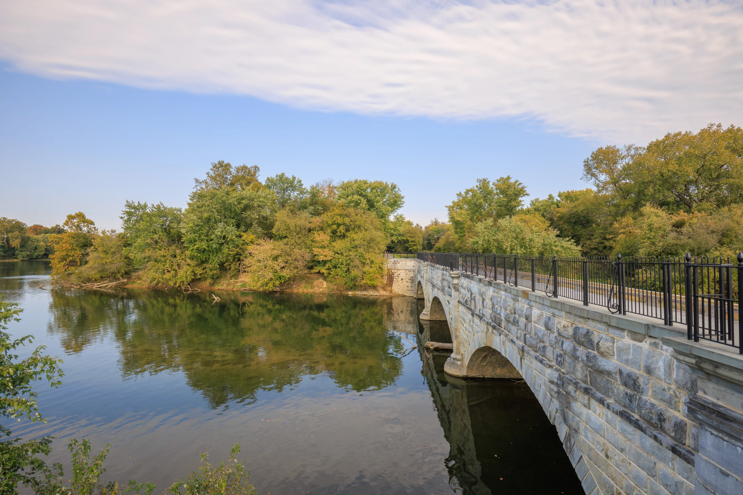
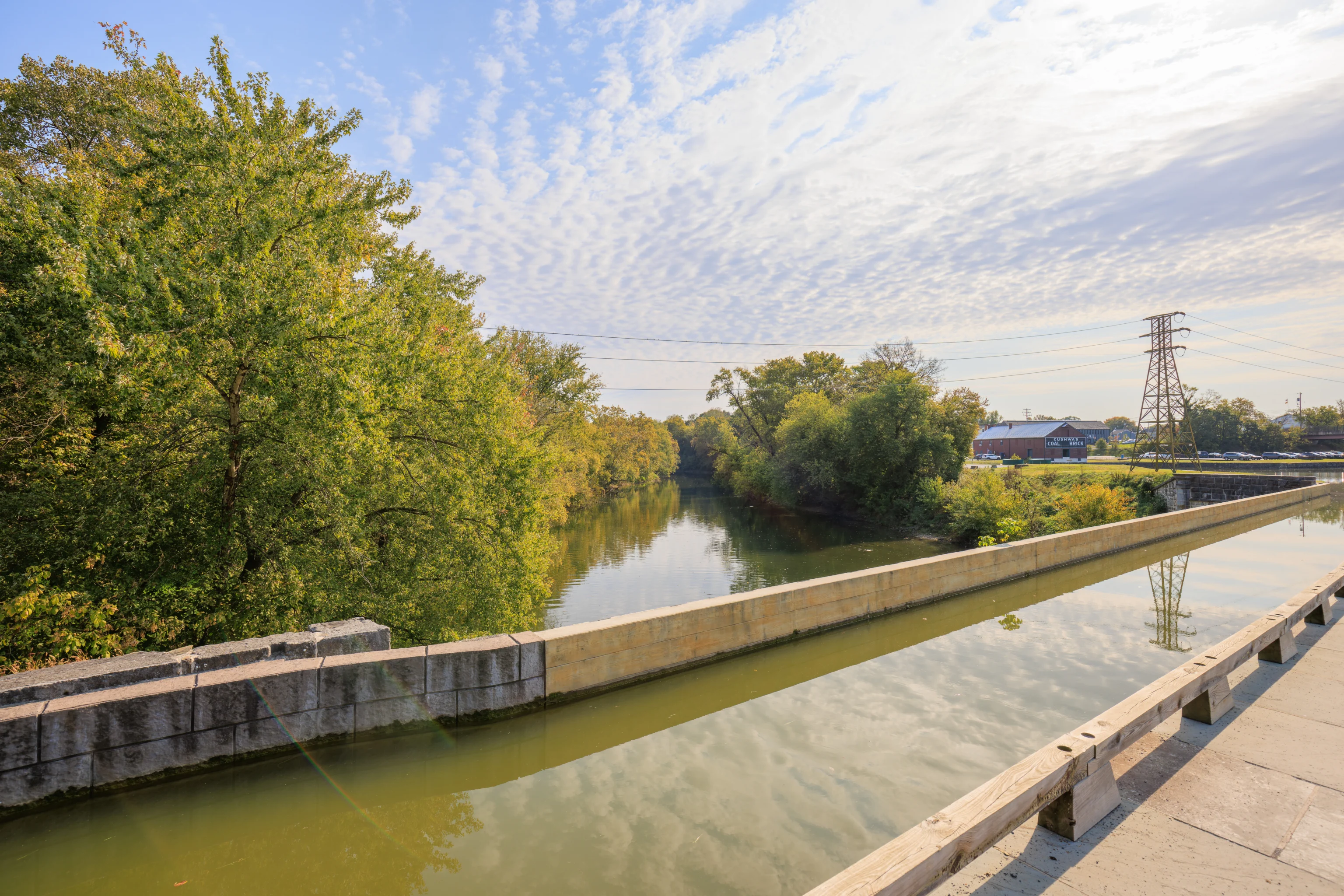
The aqueduct, visible on the right, takes the canal over the Conococheague Creek.

We started to walk across the aqueduct via a pedestrian path on the left.
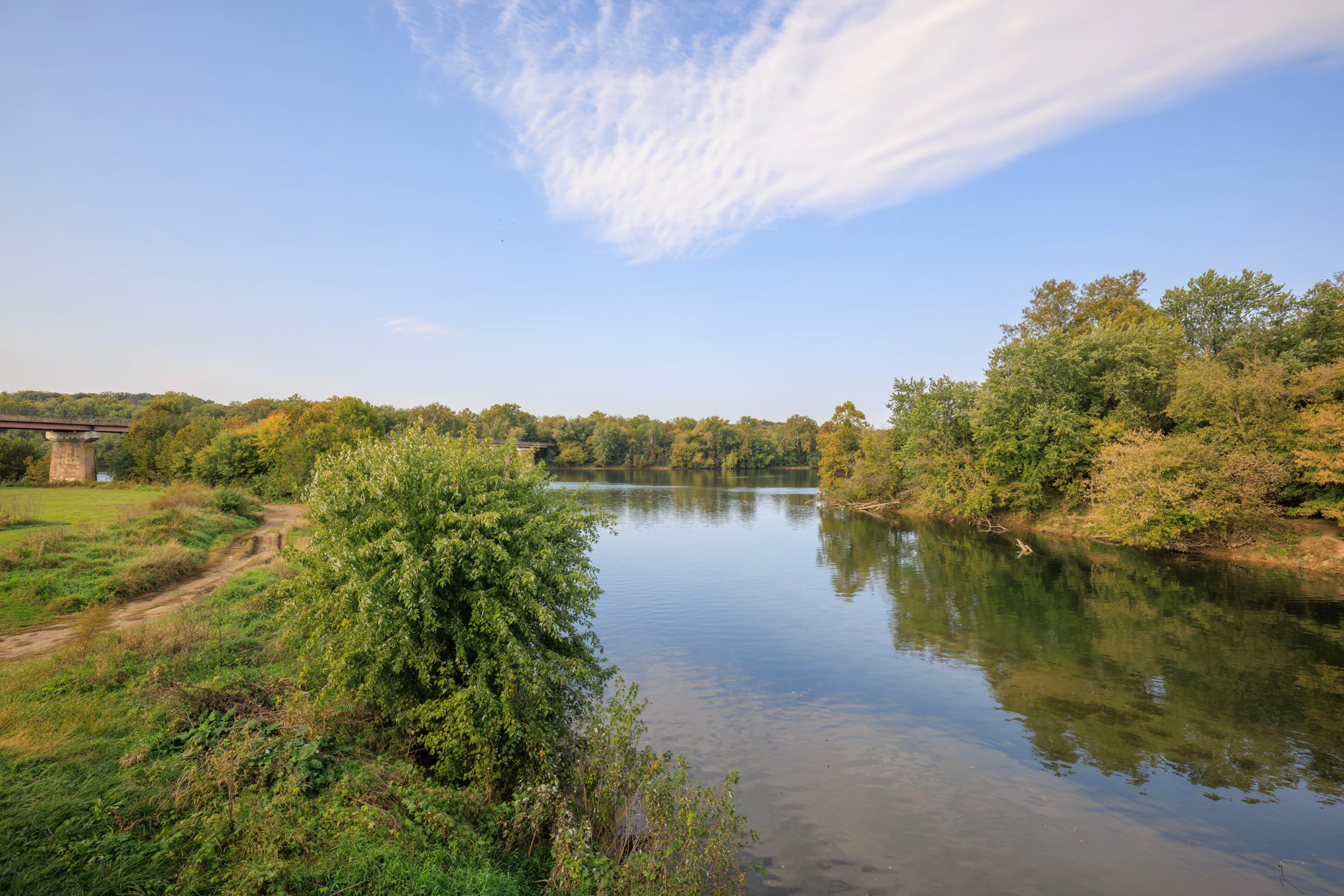
The Conococheague Creek empties out here into the Potomac River.
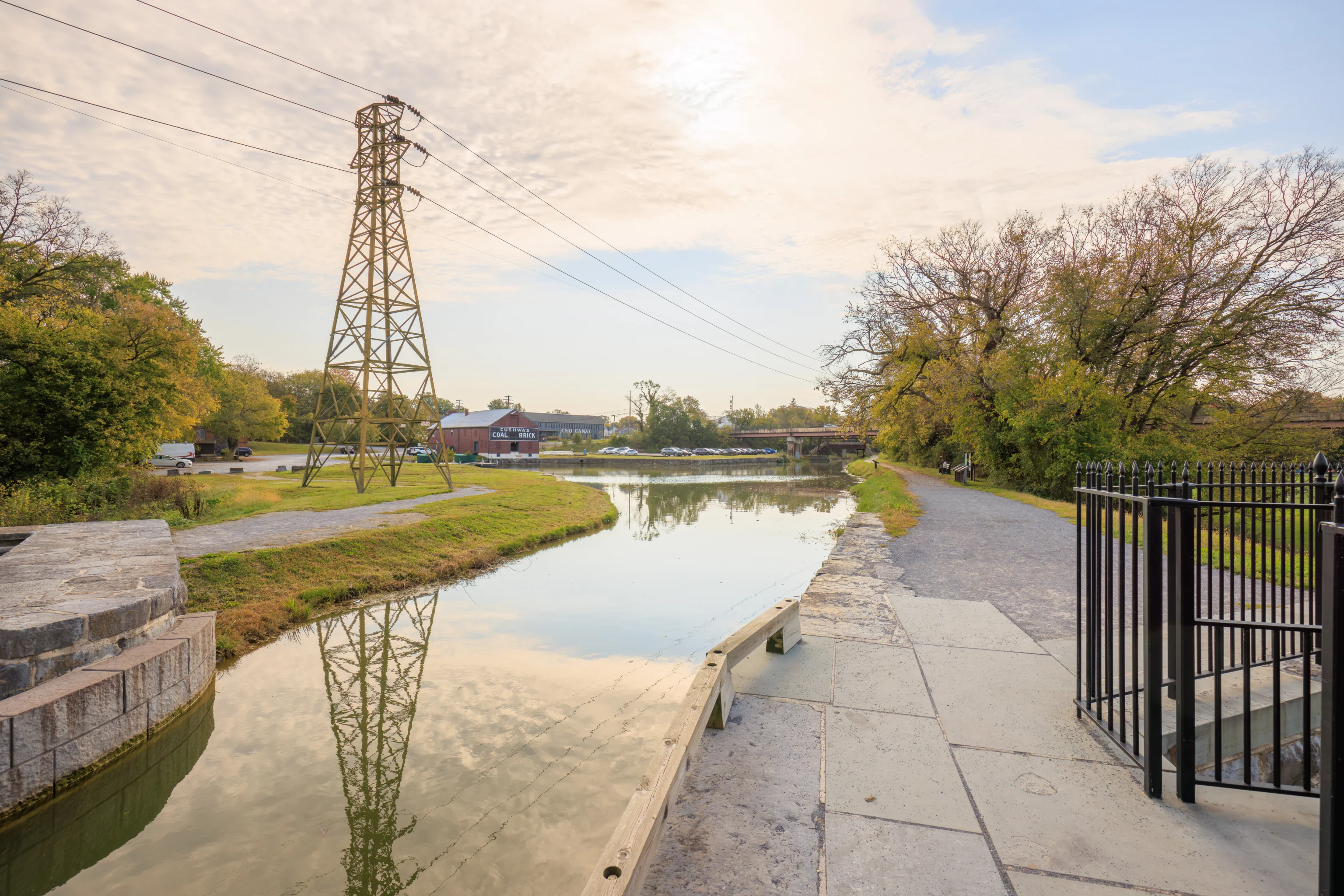
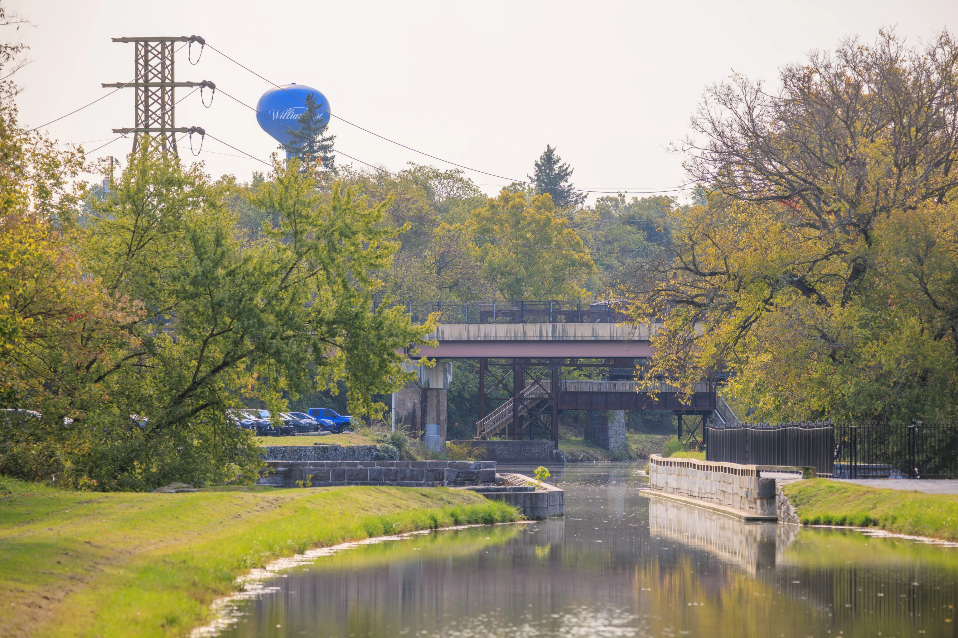
Looking to the southeast, we could see power transmission lines towering above with Cushwa Basin in the background.
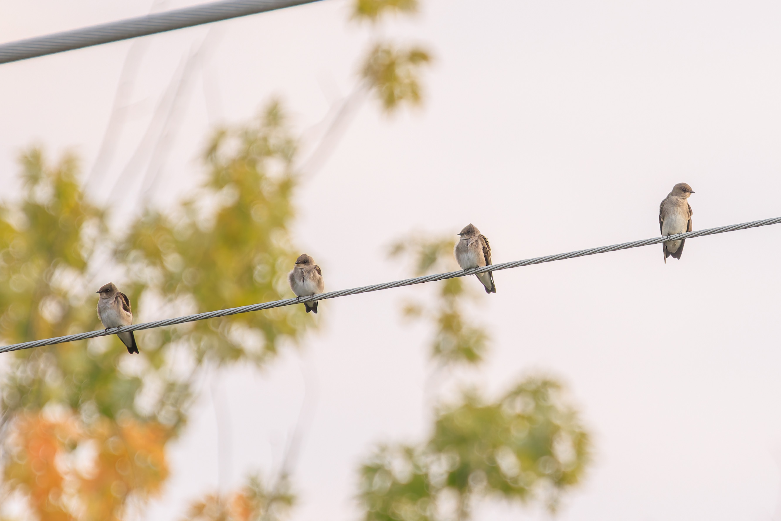
These four swallows perched on a smaller wire while other swallows appeared to be hunting flying bugs in the air. These four seem to be Northern Rough-Winged Swallows.
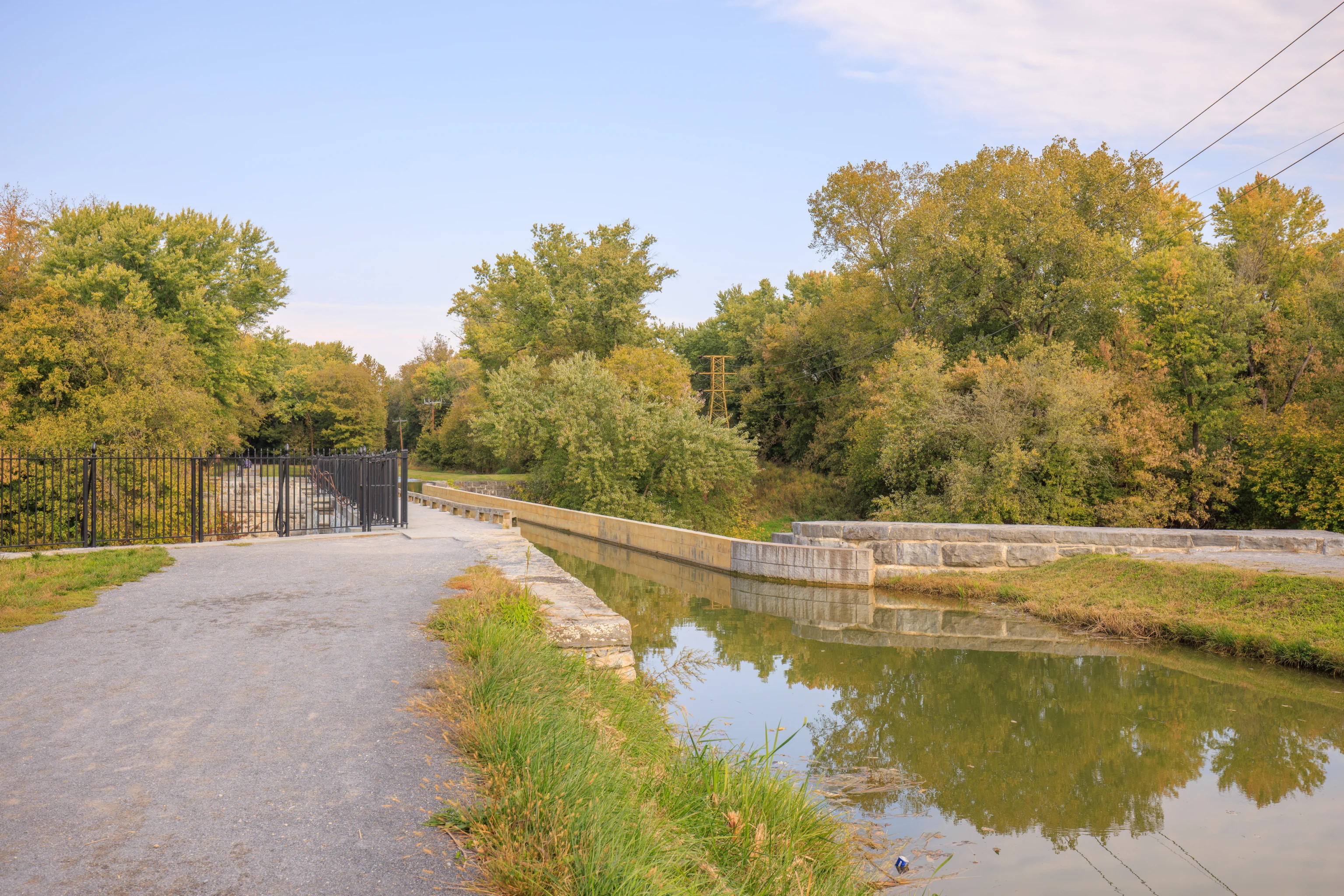
The path continues on to the north adjacent to a dry section of the canal. We didn’t go any further as we mainly just wanted to check out the aqueduct.
Looking back with the telephoto lens, we could see the railroad bridge that we crossed over earlier. It is the second, and smallest, bridge visible here. The one closest to us is the US-11 bridge that we drove on to get here. The third bridge that is sort of visible carries a local road over the canal.
Water over water! Somewhat of a novelty! The only other aqueduct that we’ve walked on is probably a section of the Lake Biwa Canal in Kyoto, Japan that we visited in November, 2023. That one didn’t cross over another body of water!
We saw this aluminum boat head out to the Potomac just after we crossed over.
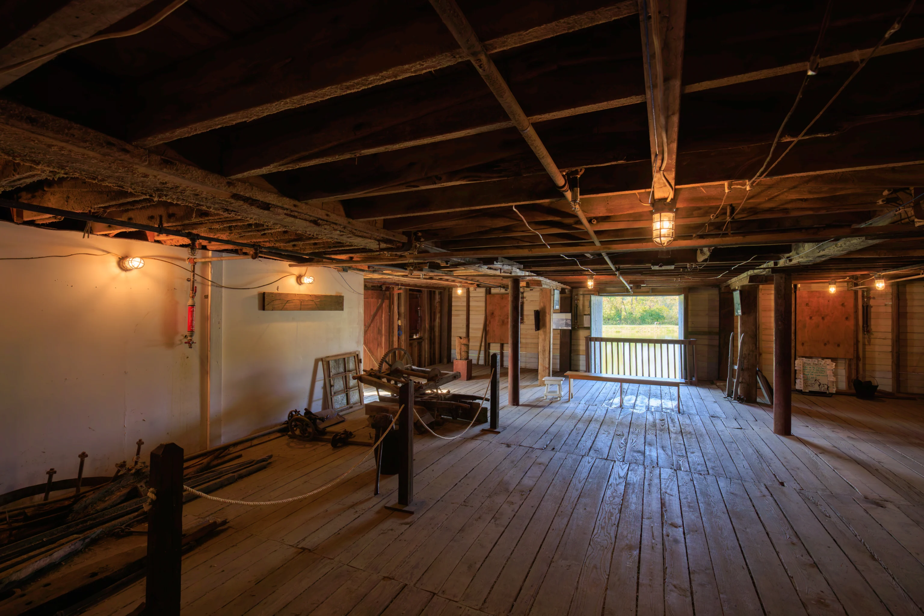
After we returned to our car, we drove over to the Cushwa Warehouse to take a look. We could have easily walked but this is America! The warehouse has some informational displays about the canal and the area as well as a few historical items.
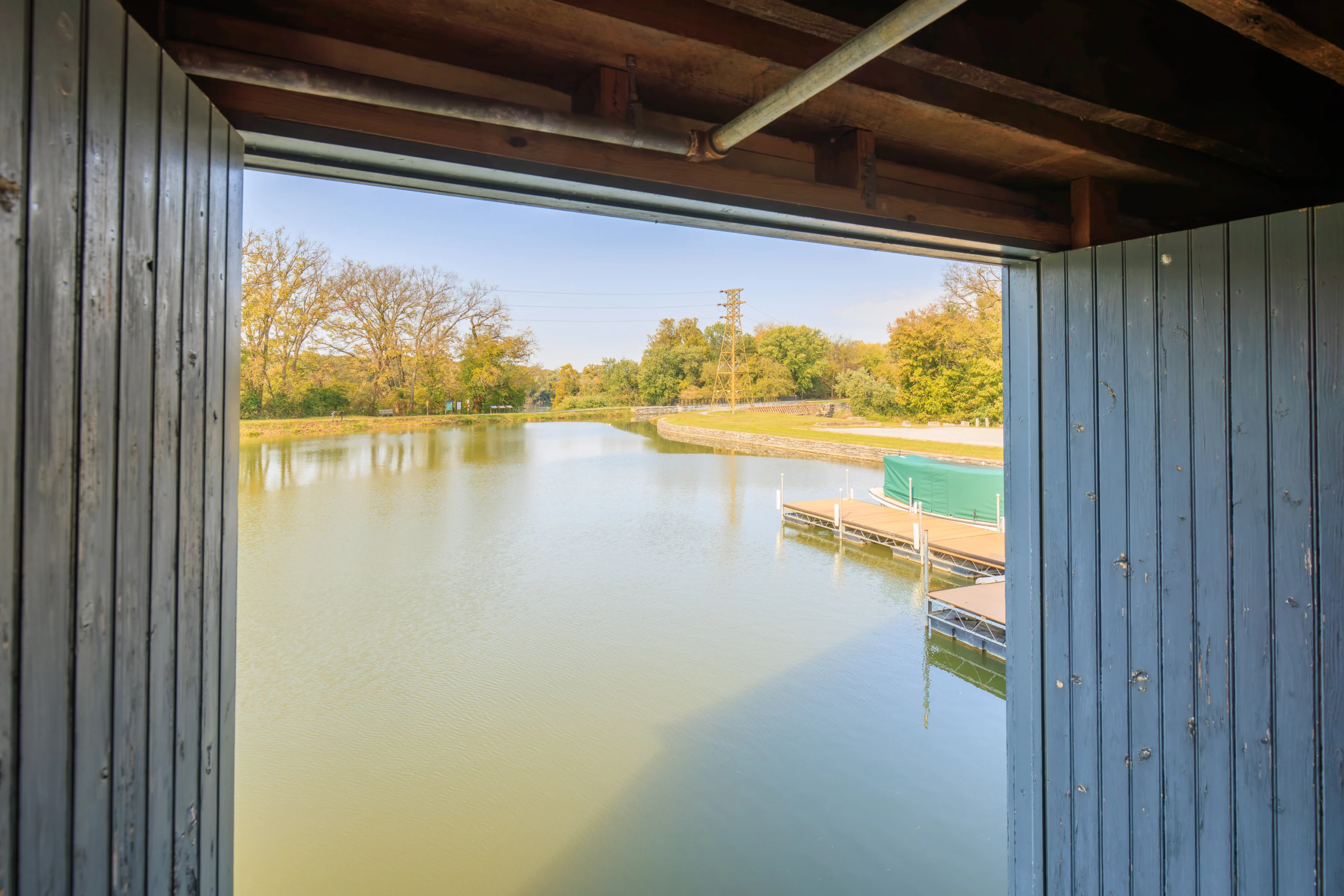
The open door had a nice view of the Cushwa Basin.
We walked over to see the aqueduct from the east side.
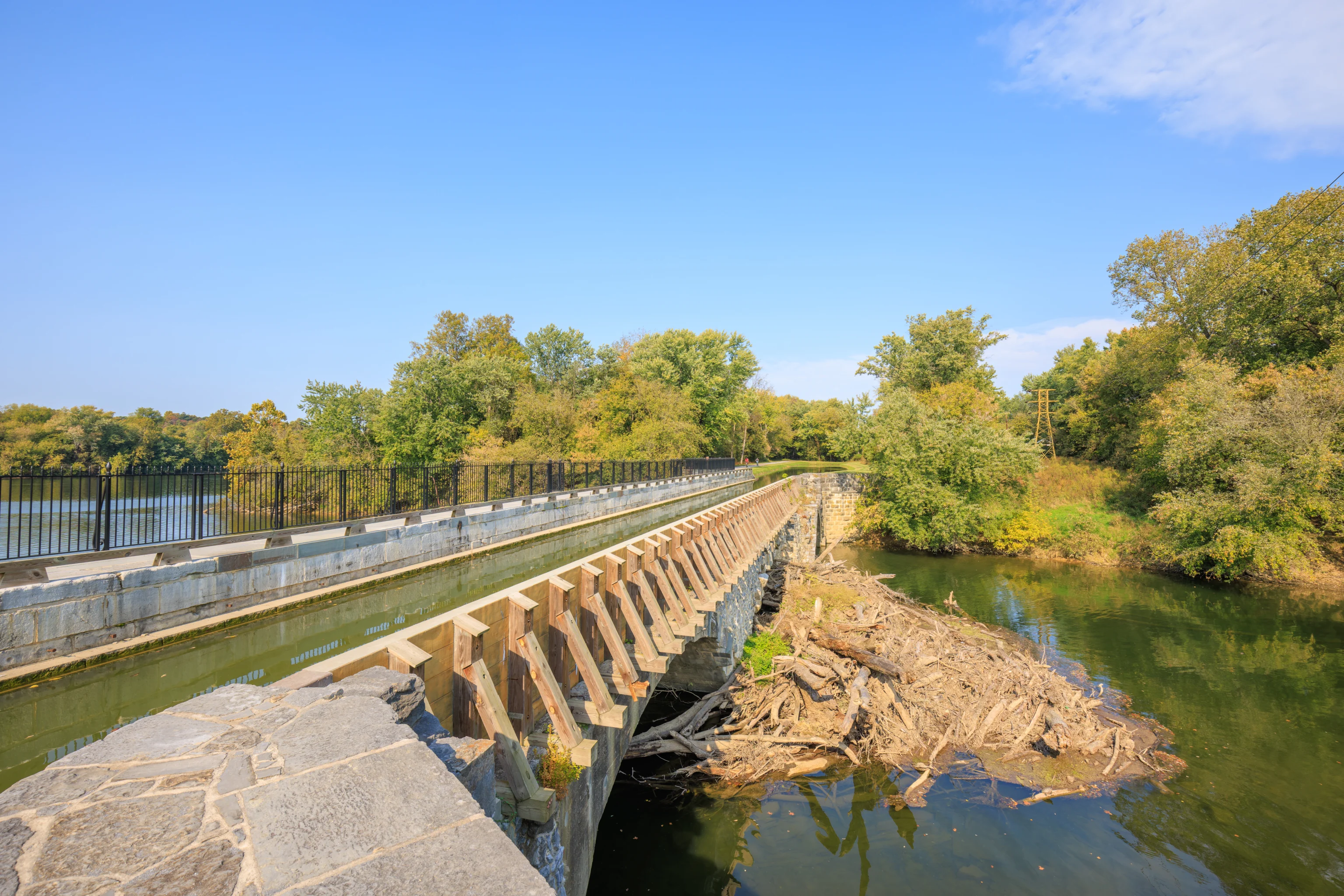
The east side of the aqueduct appears to have been patched back together, with concrete and wooden supports helping to hold the water in place.
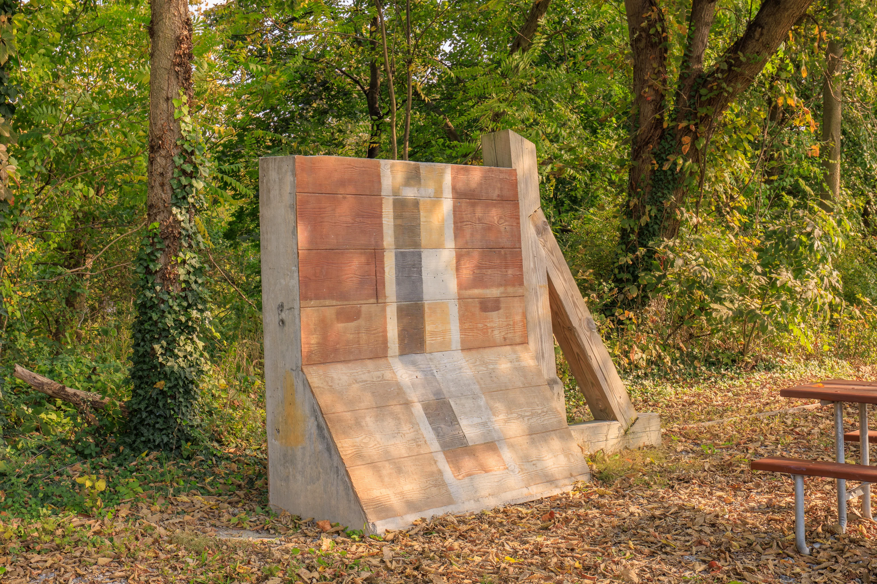
This concrete and wood panel, along with wooden support, was standing in a picnic area at the edge of the parking lot. It looks similar to the support structure we saw on the aqueduct, though the design isn’t quite the same. There was no sign describing this item so we don’t really know exactly what it is or why it is here.
Fort Frederick State Park
We returned to our car and drove to the north via local roads to Fort Frederick State Park. The fort is also on the Maryland side of the Potomac River.
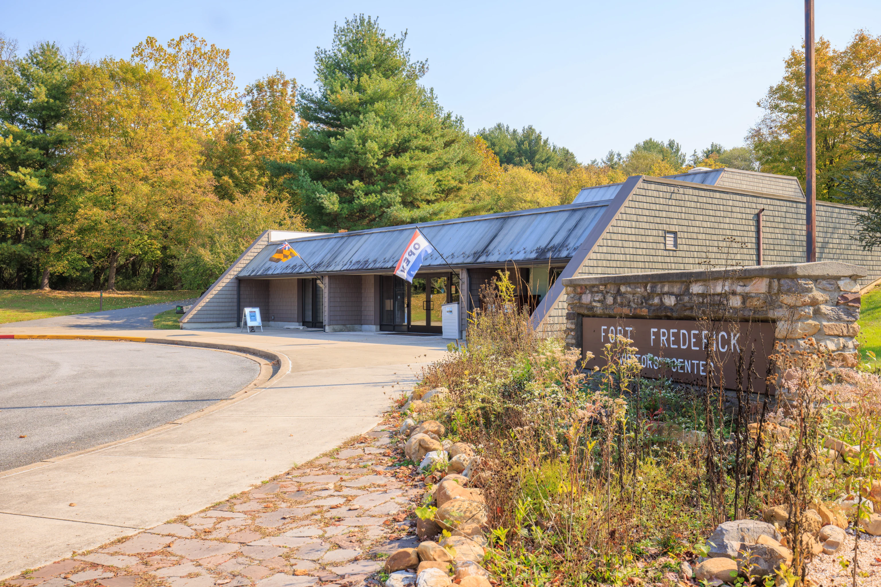
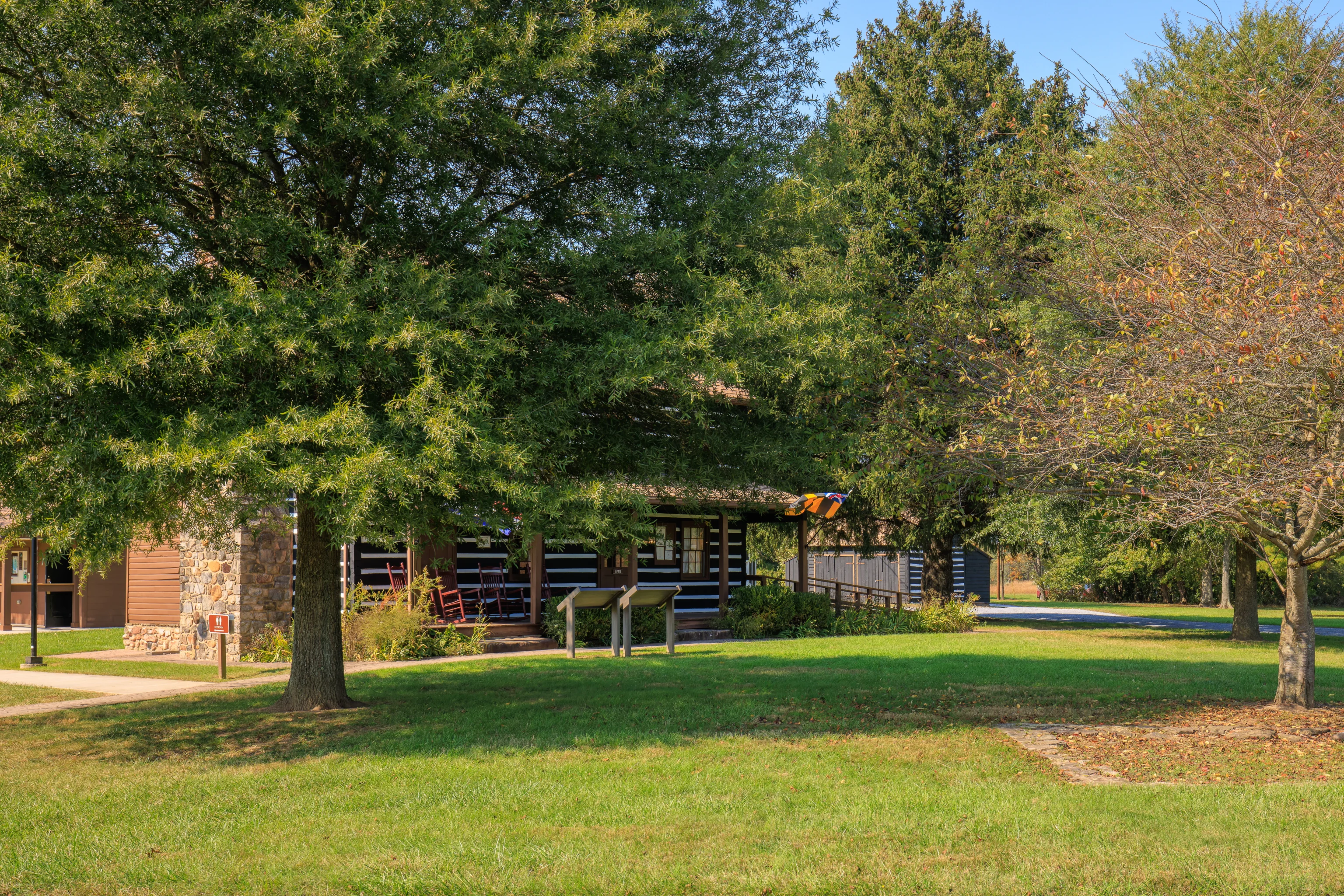
We parked by the visitor center and went in to take a look. We briefly talked to a ranger inside who told us that we could walk from here to the fort, or we could drive to a parking lot that was closer.
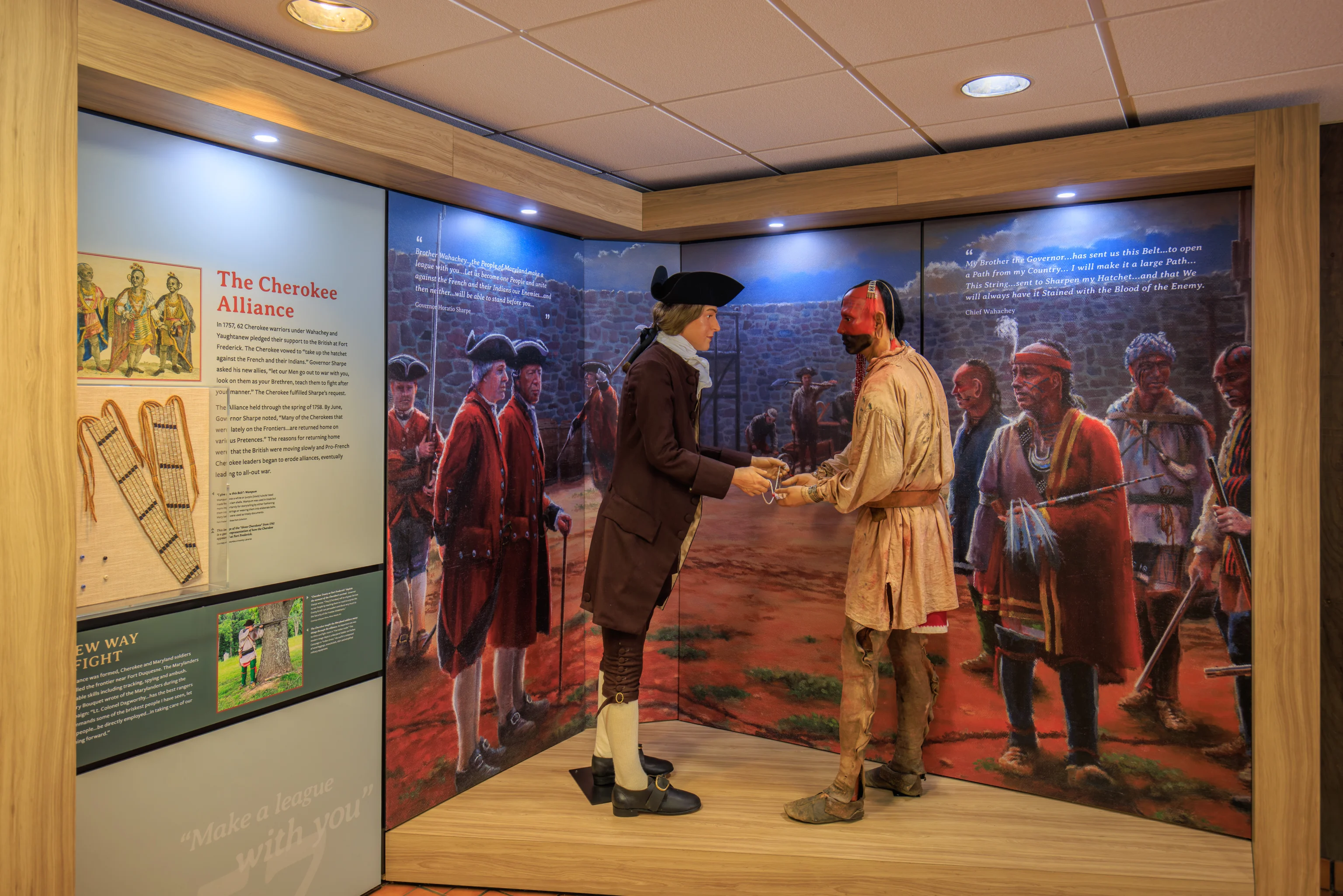
We also spent some time looking at the informational displays inside the building. The fort was built by the Colony of Maryland as a defensive structure during the French and Indian War, essentially a colonial war between the English and French colonies. Both sides had Native American allies during this conflict. No battle was fought here during the war.
The fort was as an American prisoner of war camp during the Revolutionary War and was the site of a minor battle during the Civil War.
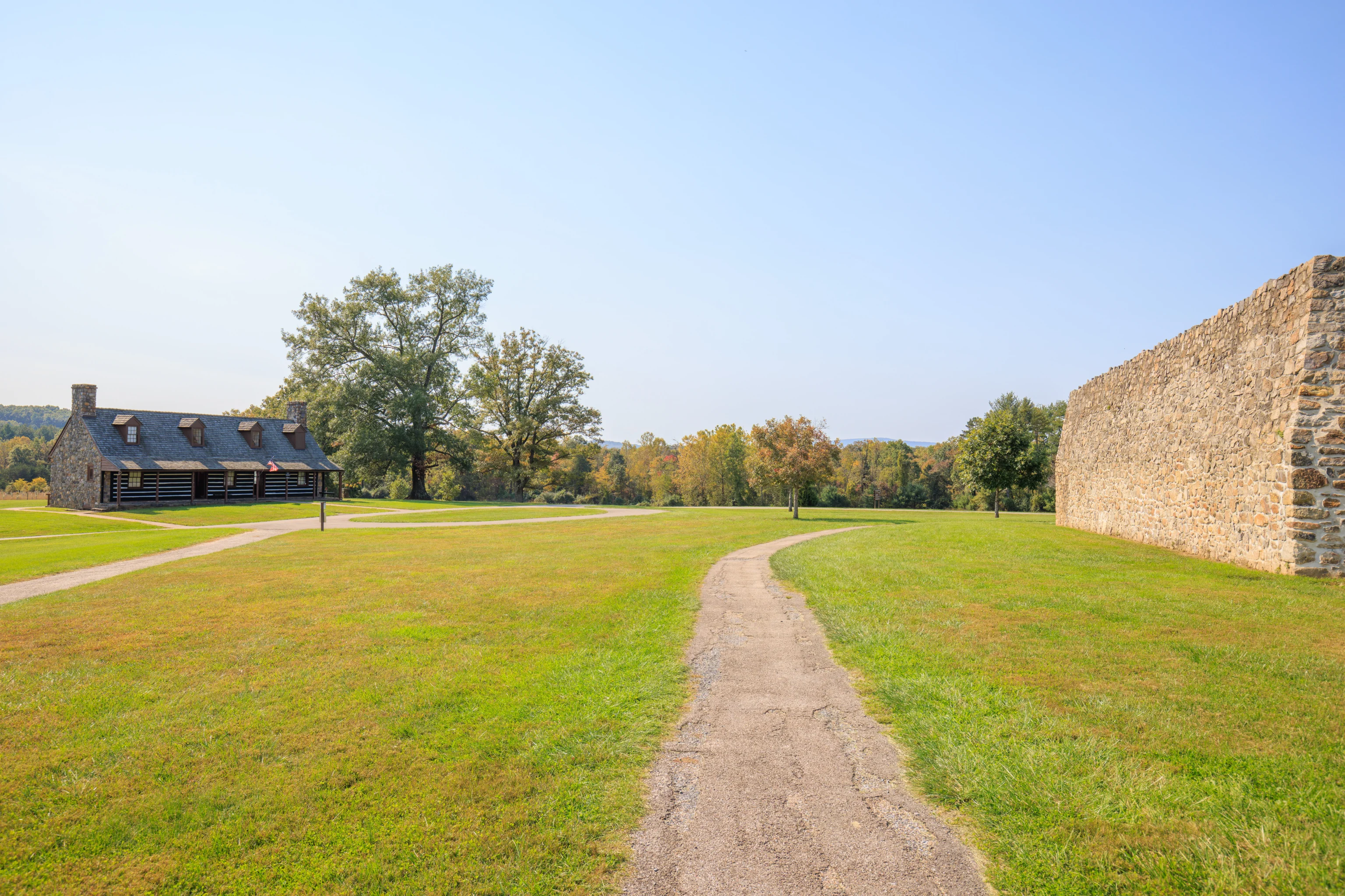
We decided to walk to the fort. The trail from the visitor center leads around the far side of the building before curving to the south. Looking back, we could see the side of the visitor center as well as the mostly empty parking lot where we parked.
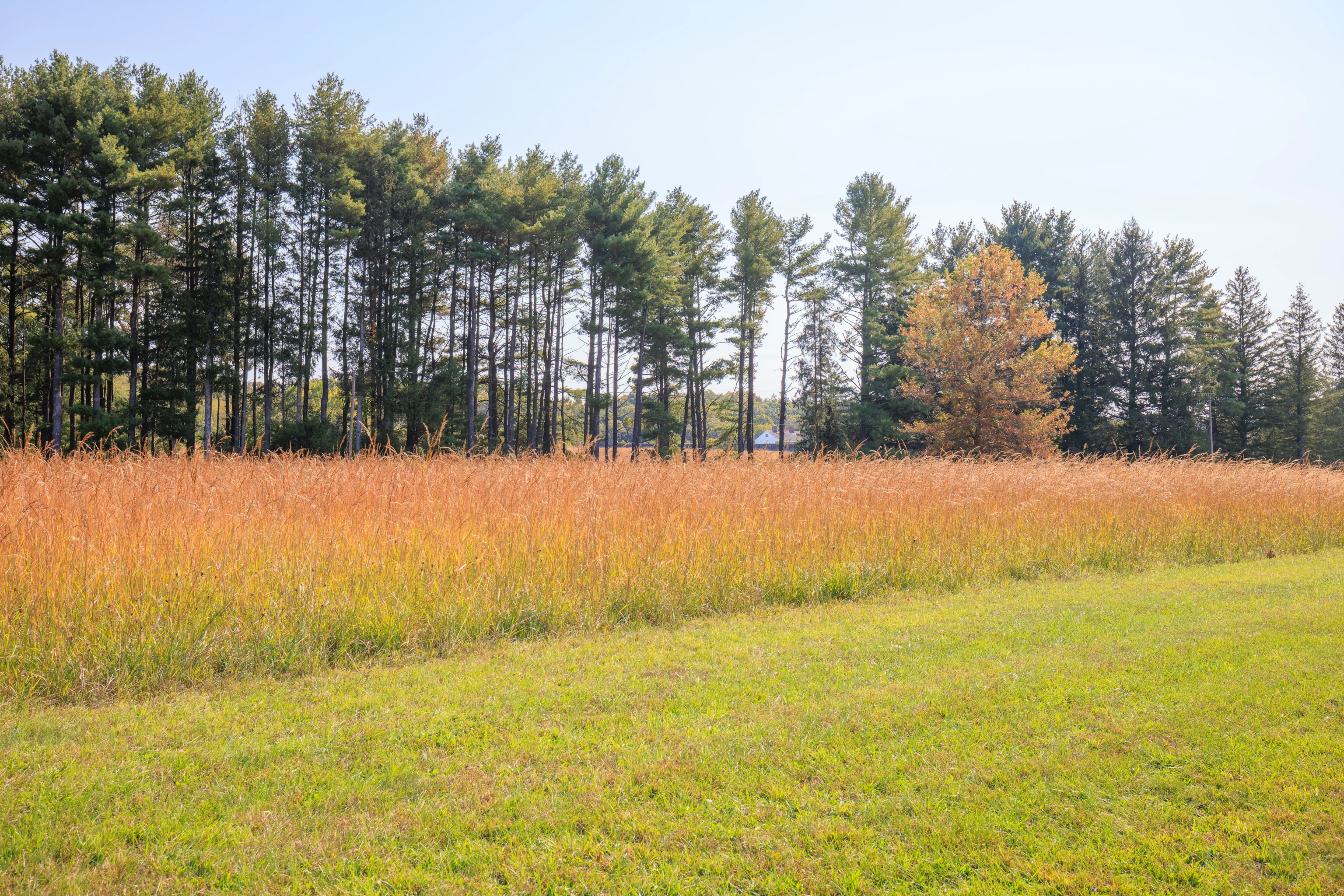
After walking for just a minute or two, we could see a bit of the fort through a line of trees.
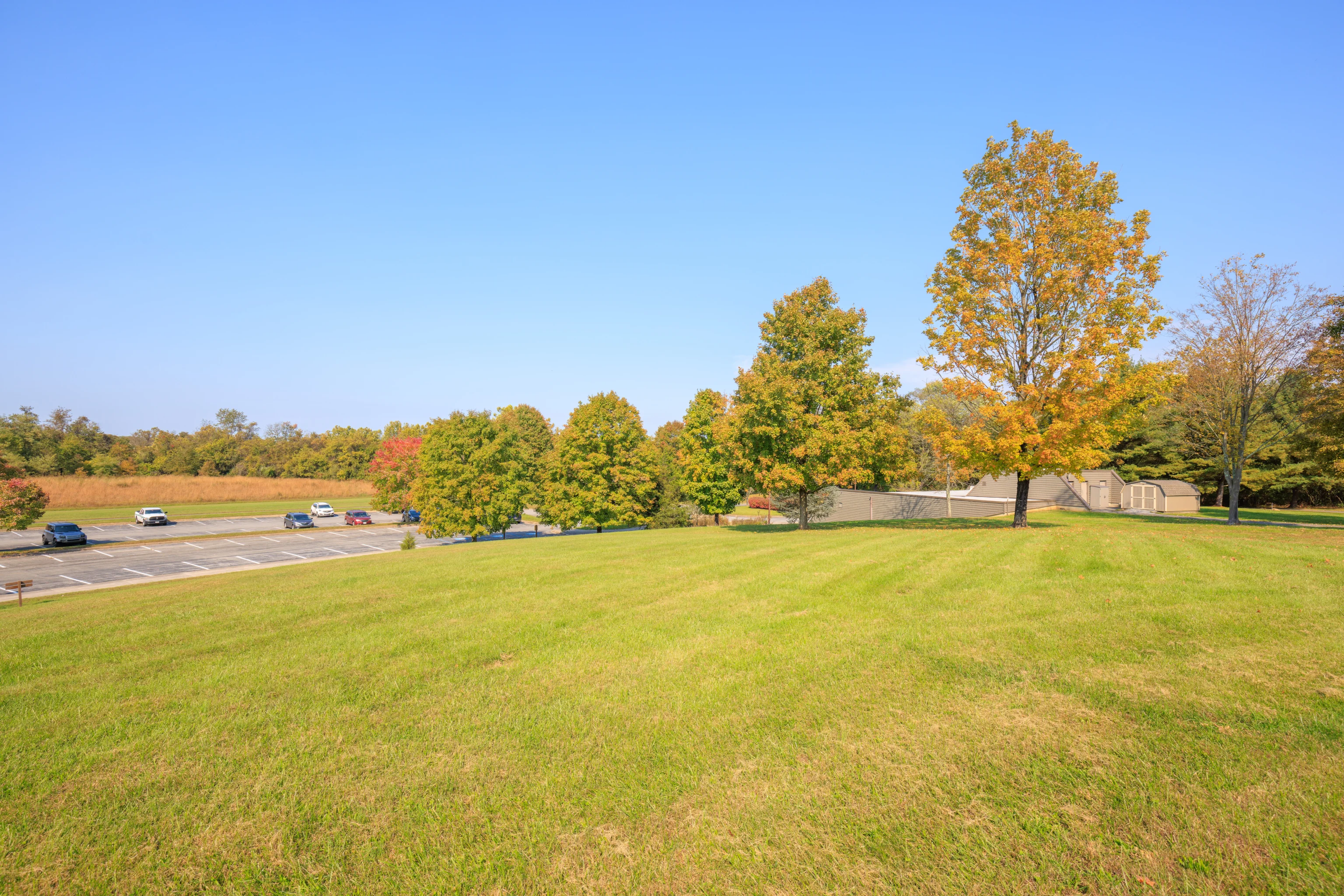
The path we were on intersects with another path a short distance away. This field of grass was directly to the south, where we would end up if we kept on going straight. Instead, we turned left to reach the fort. The path to the right leads provides a more direct route to the parking lot.
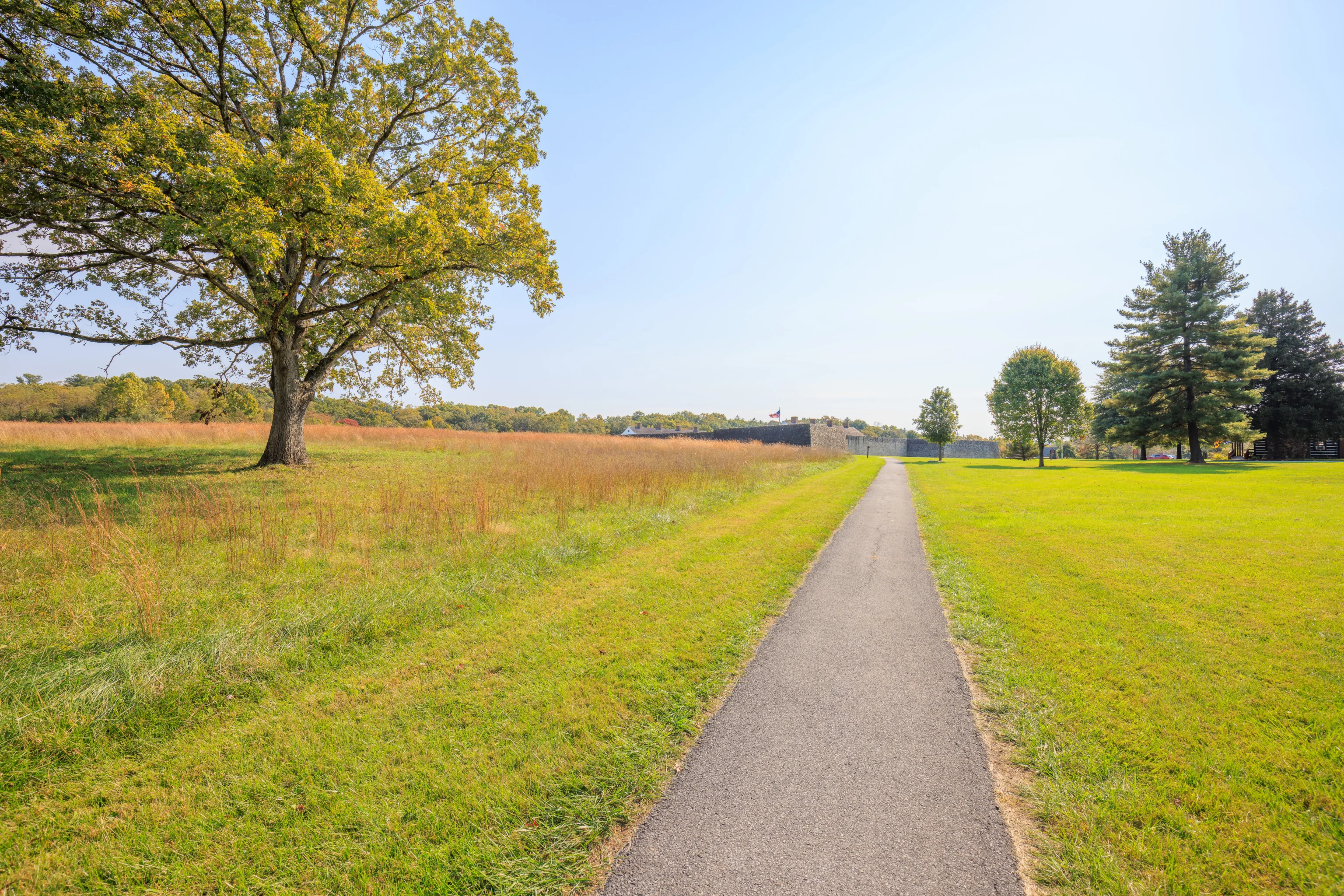
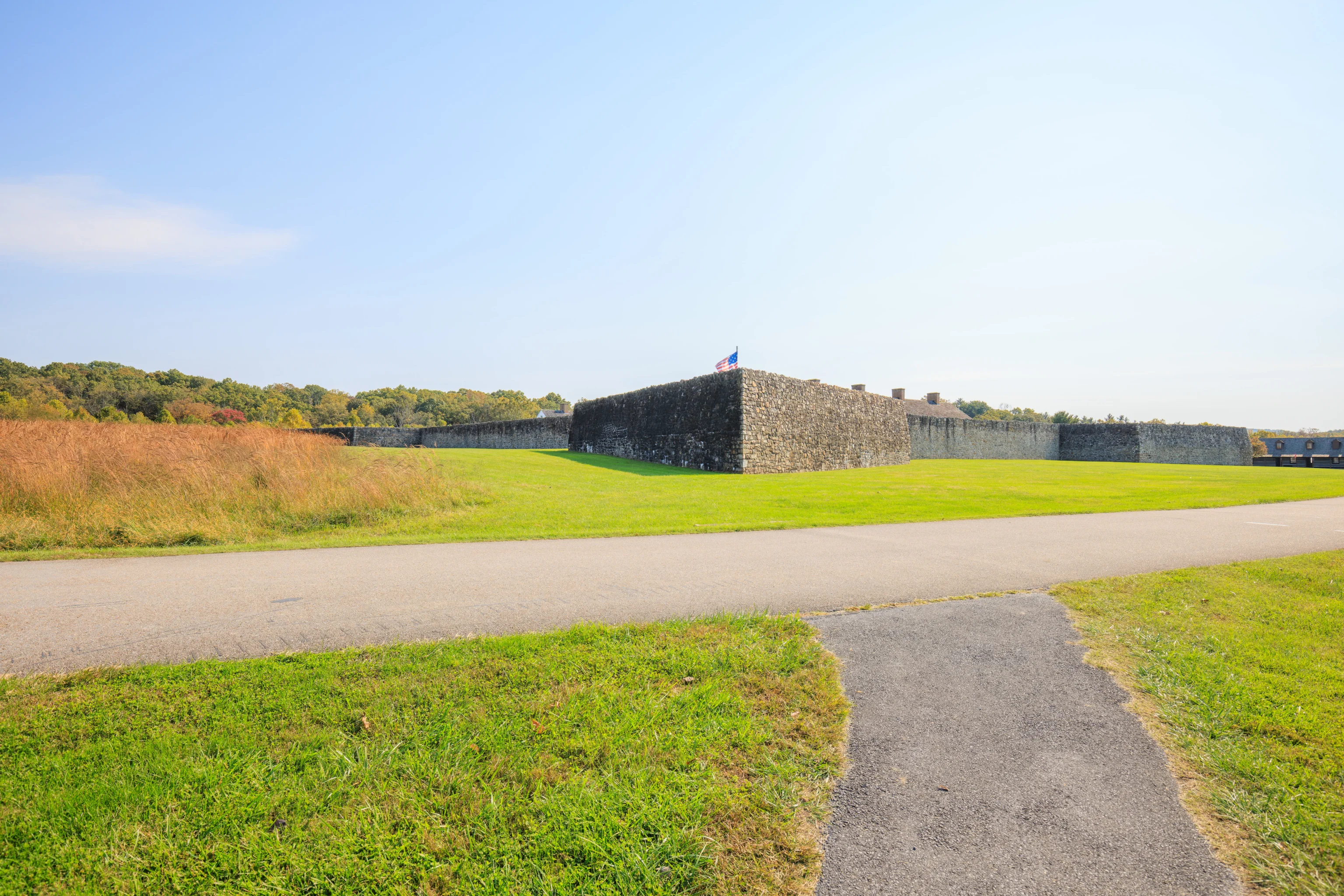
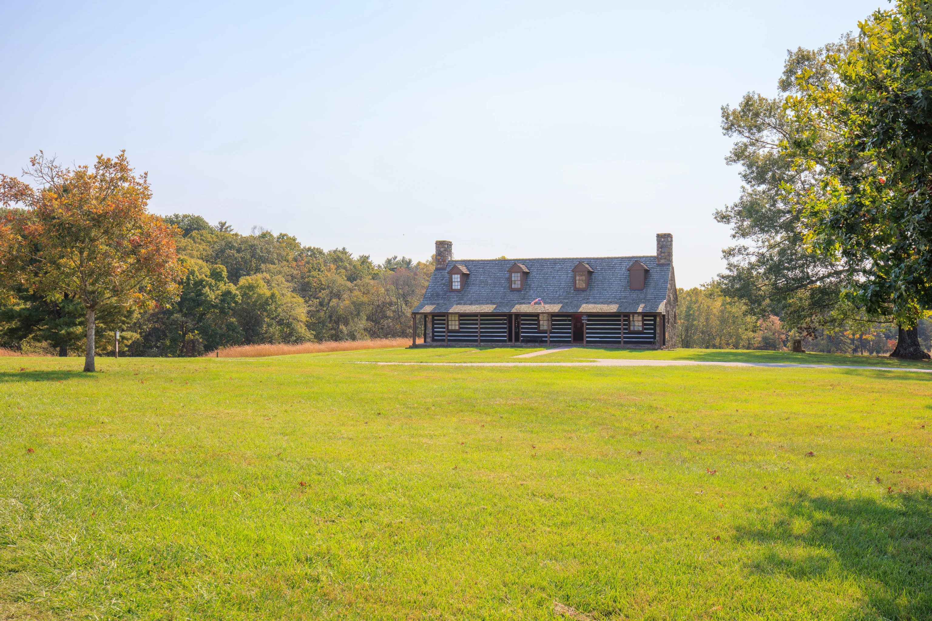
After curving a bit, the path led directly to the fort. The walk takes just a few minutes.
There is no entrance on this side of the fort.
We visited this building first as it was nearby. It houses a small gift shop.
We walked through the small parking lot here and followed a path that looked to lead to the fort’s entrance. We noticed this building which houses a Civilian Conservation Corps Museum. Quite a bit of park infrastructure across the US was created by the CCC in the 1930s.
This appears to be the way.
This is the way!
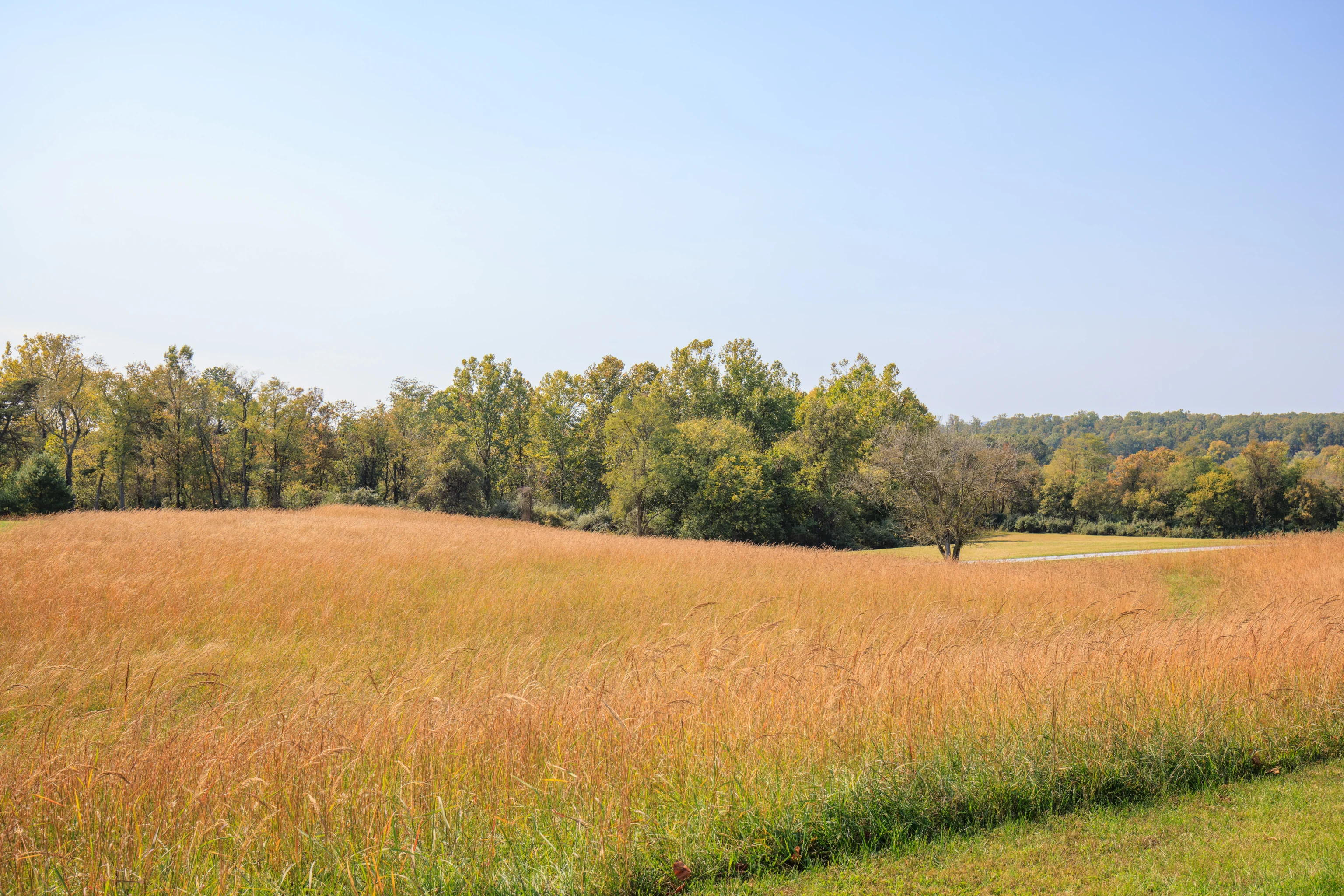
The path that we walked on to get here.
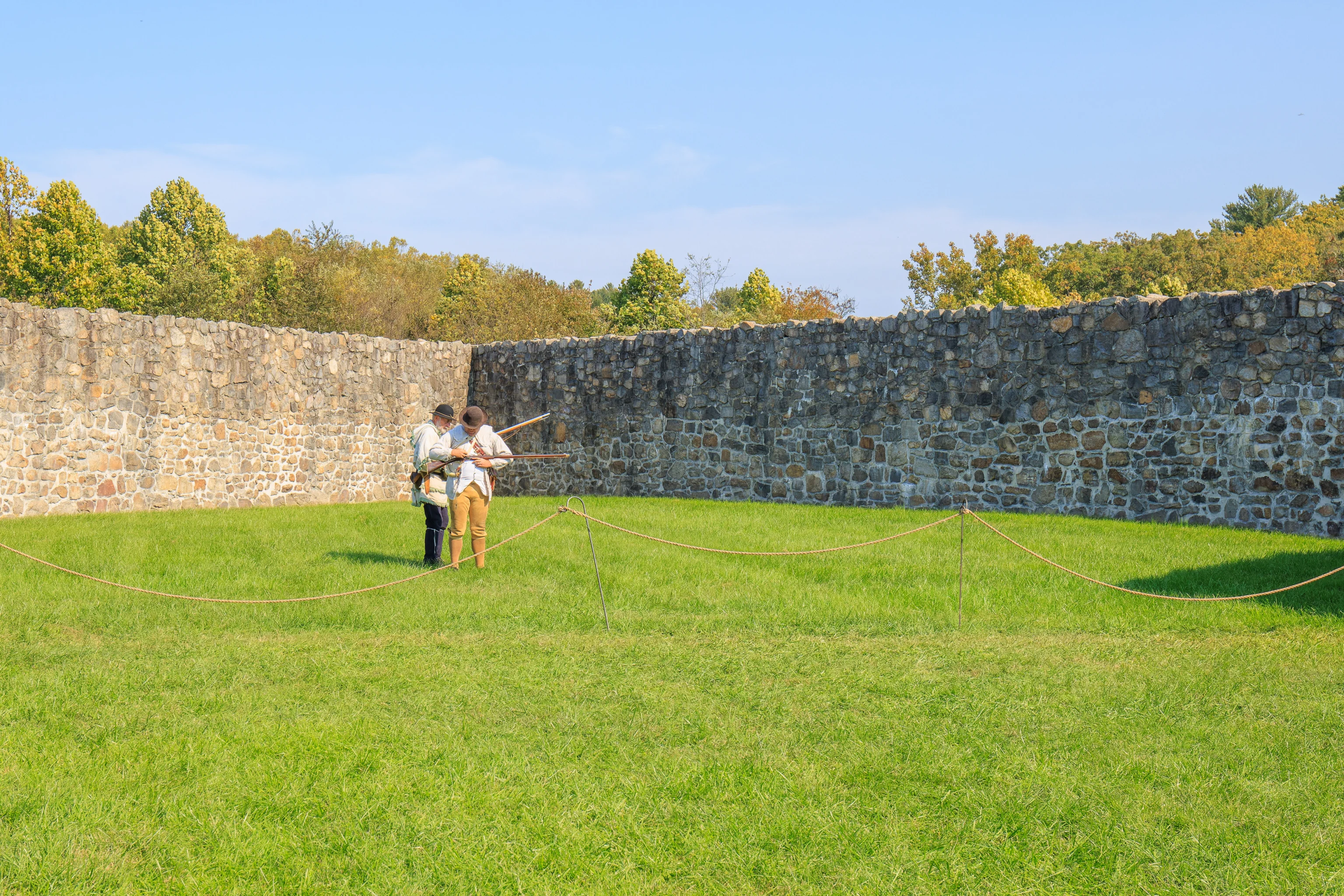
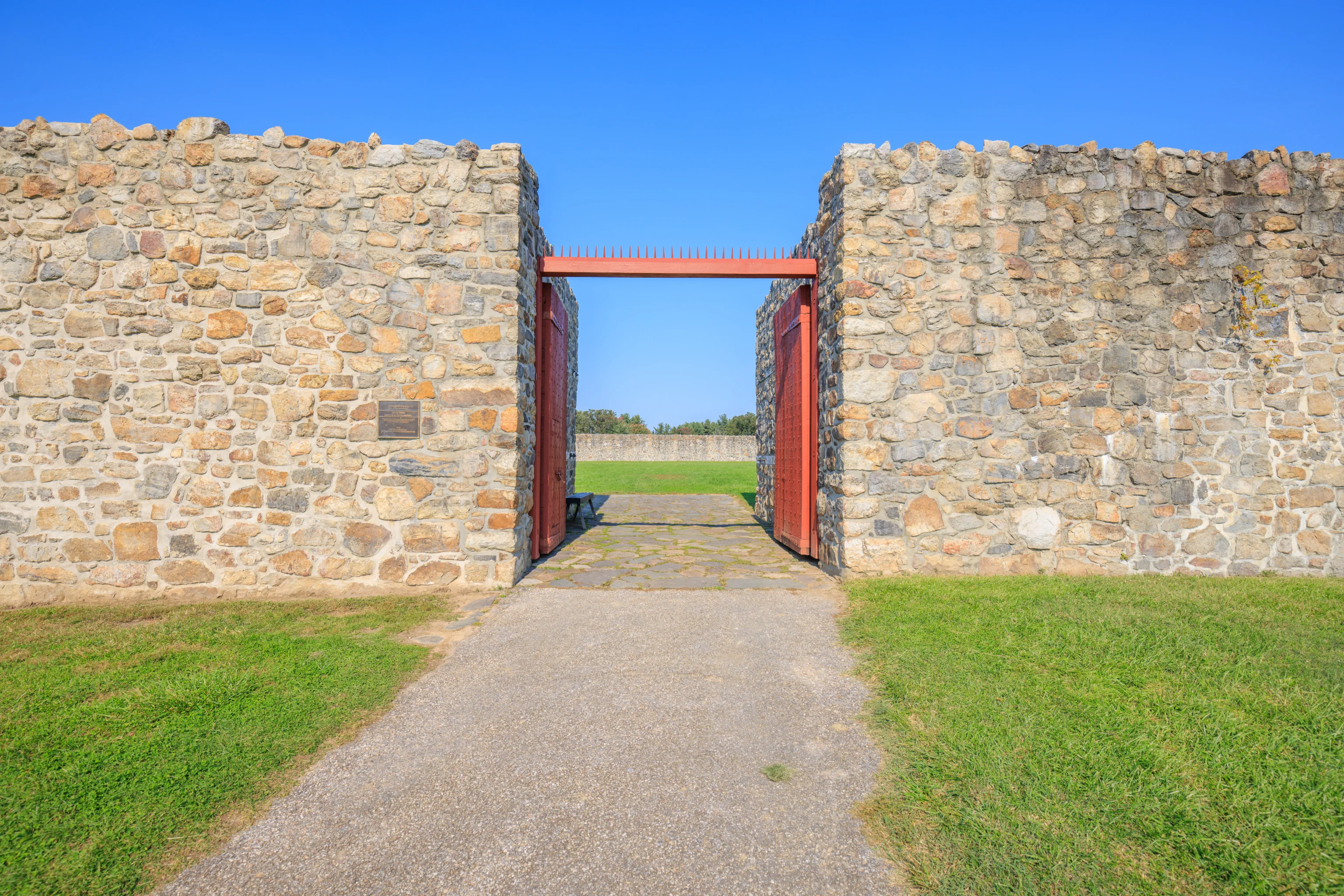
When we walked into the fort via the only entrance on the south side, there was a musket firing demonstration going on at the northeastern corner of the fort.
We missed most of the demonstration but it seems the two rangers had different muskets with different loading mechanisms. One of the guns fired on the first try while the other did not. He did get it working on the second try though.
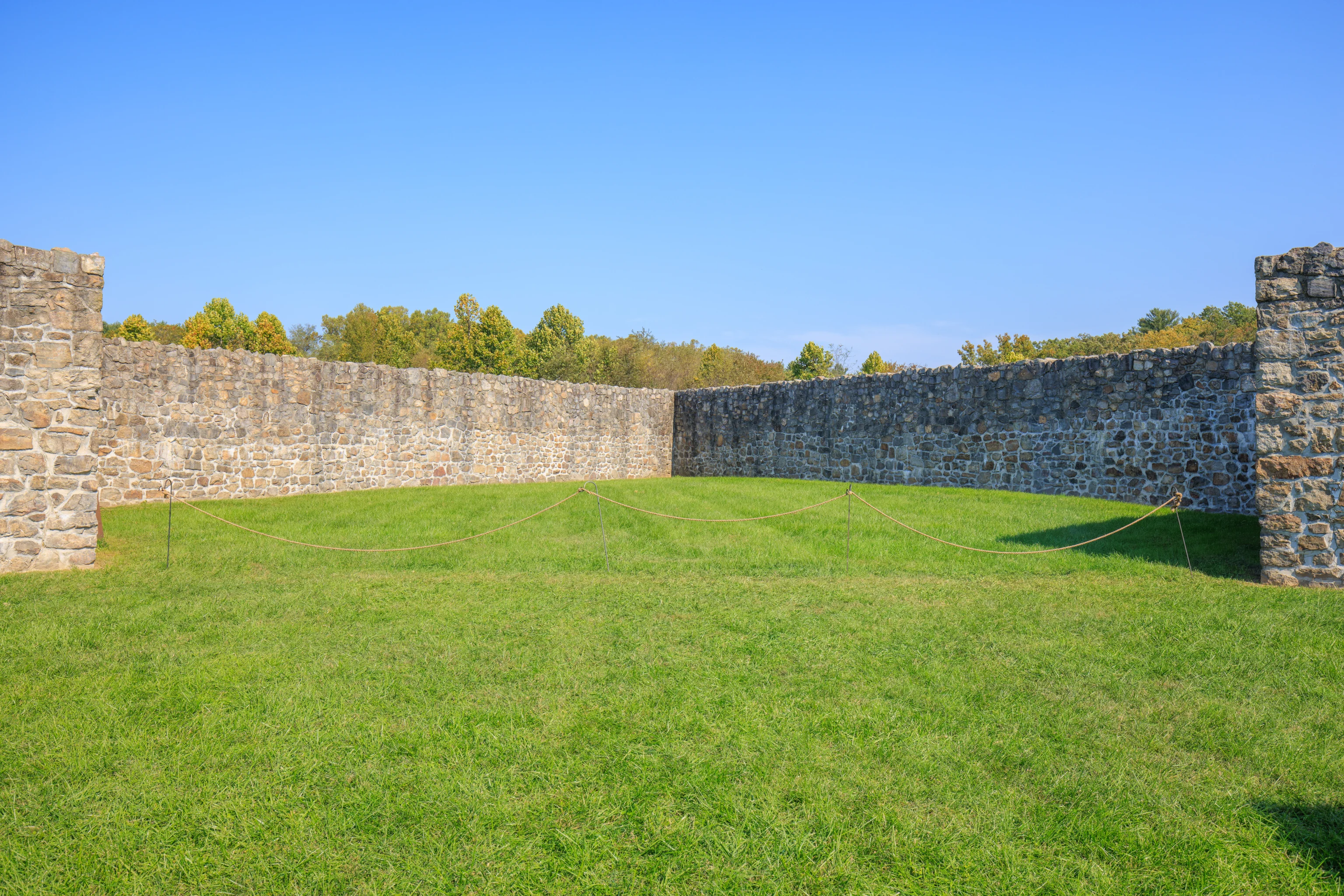
The northeast corner, after the musket firing demonstration was over.
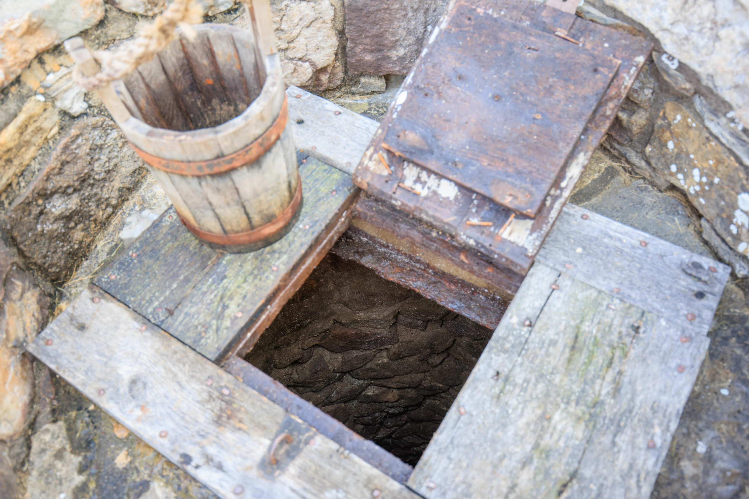
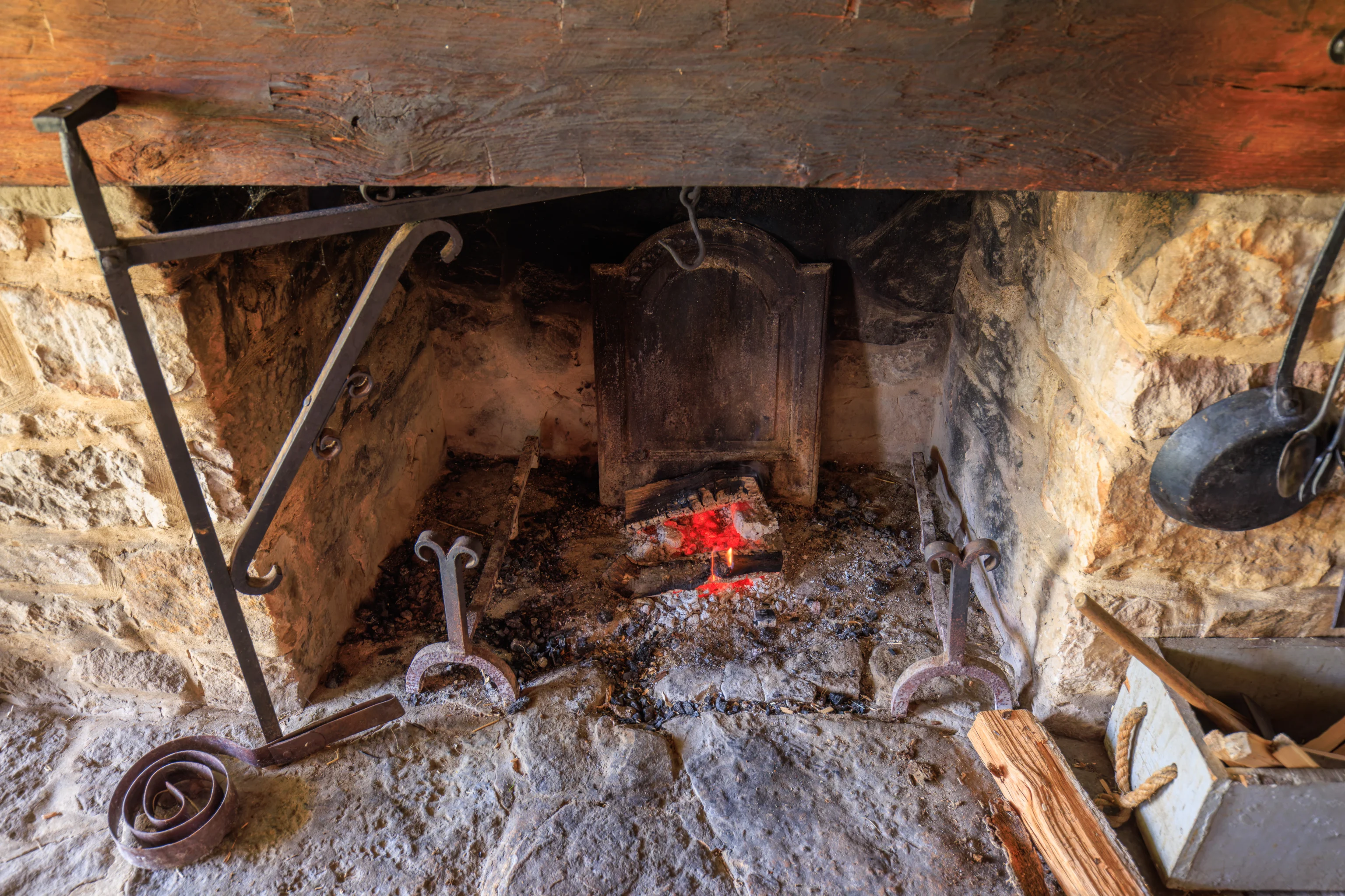
After the musket firing demo, one of the rangers gave a talk about conditions here during the Revolutionary War when the fort served as an overcrowded prison for British and German troops. This well was the only source of fresh water. It was not entirely reliable, resulting in extremely poor conditions when it failed to produce clean water.
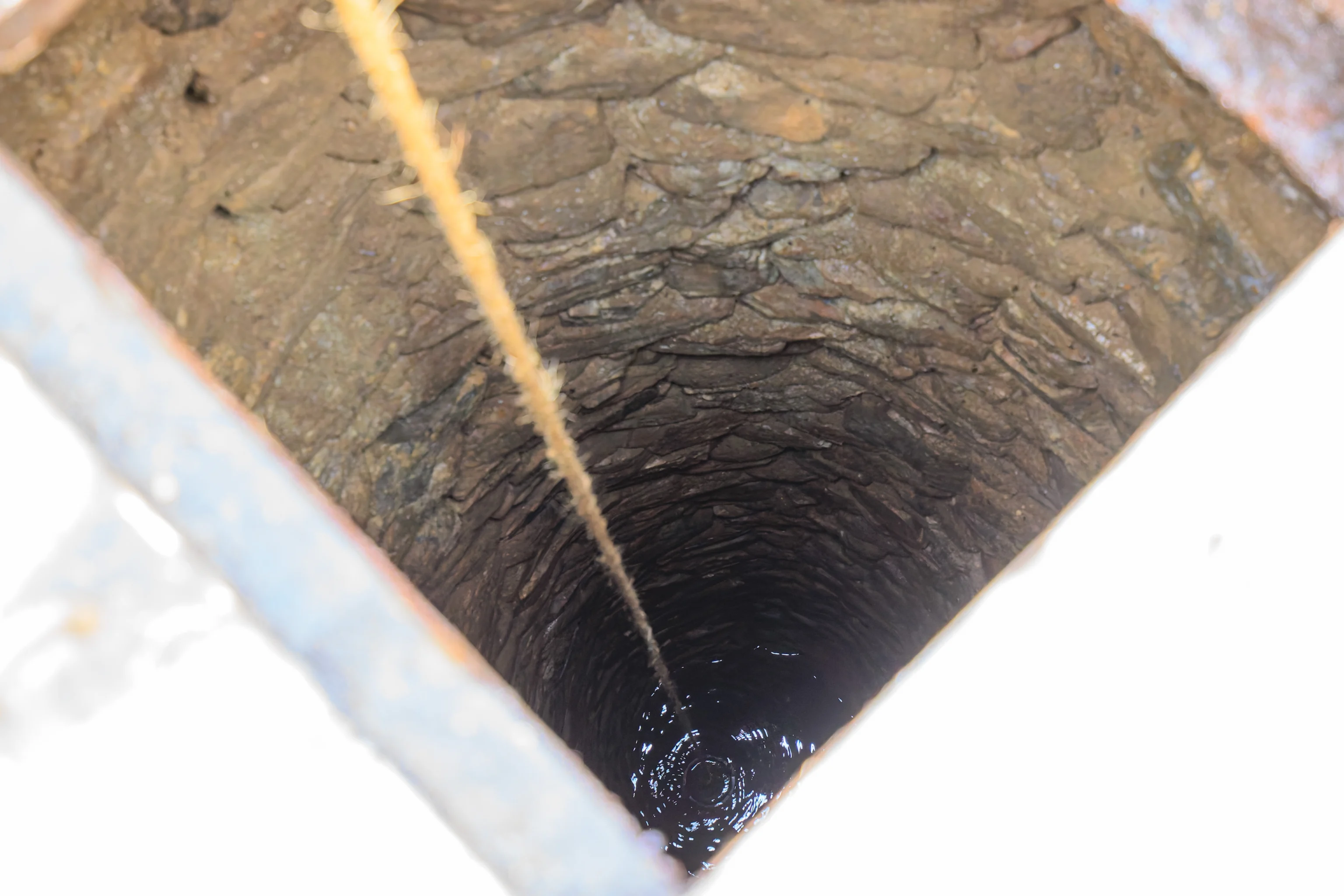
This well is still operable, a rarity at historical sites! The water is routinely tested and these days is safe to drink, although the park isn’t allowed to serve it to visitors.
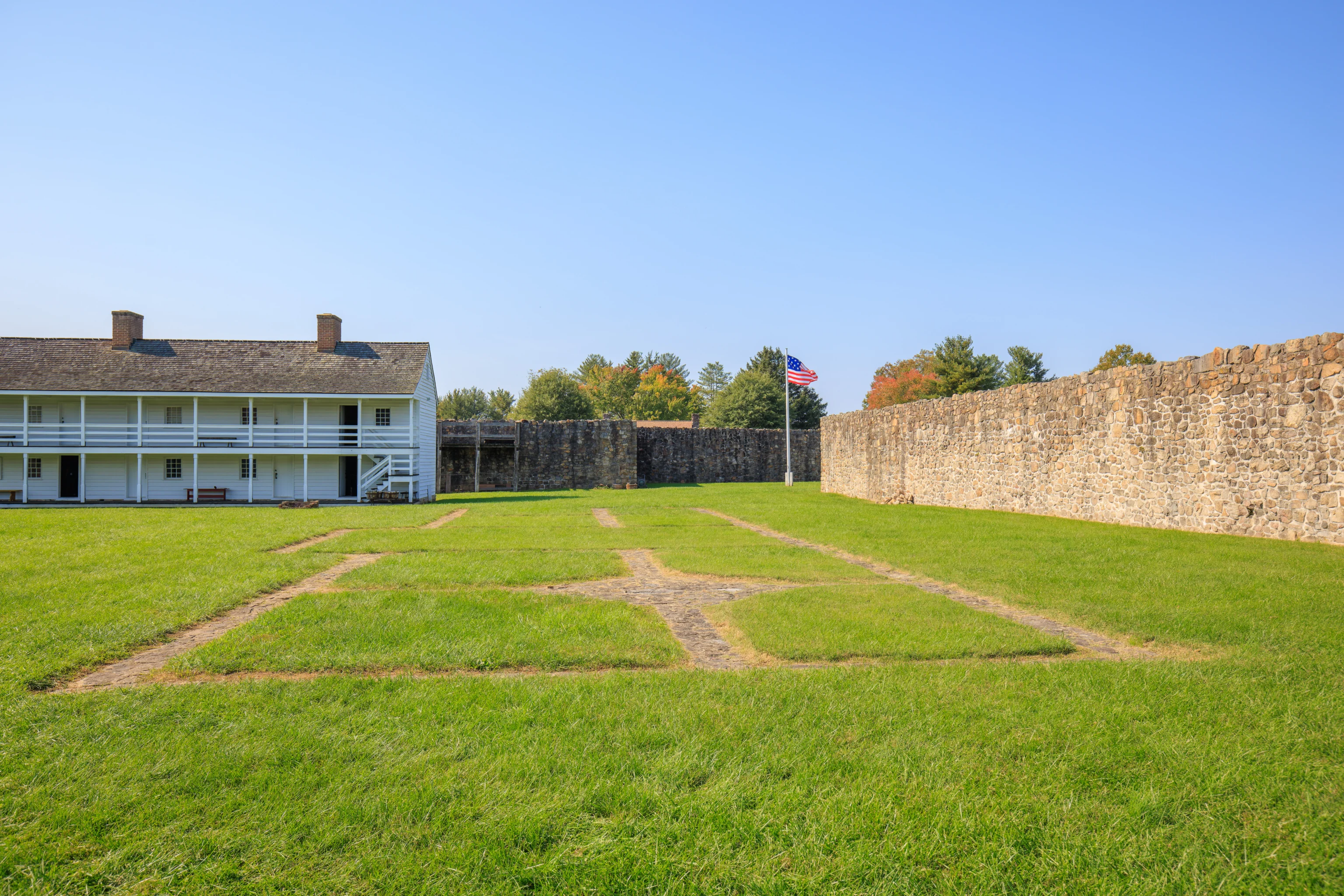
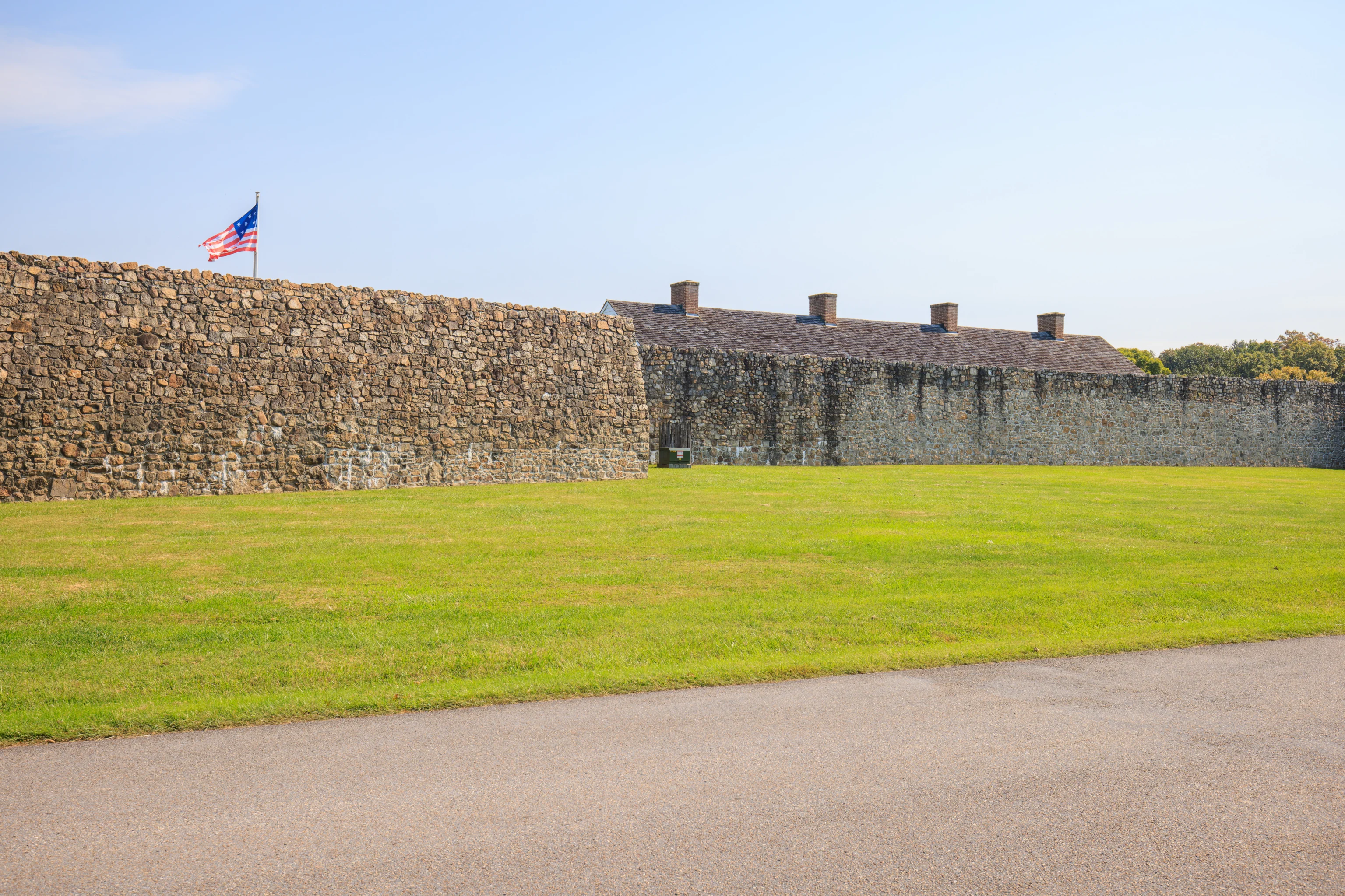
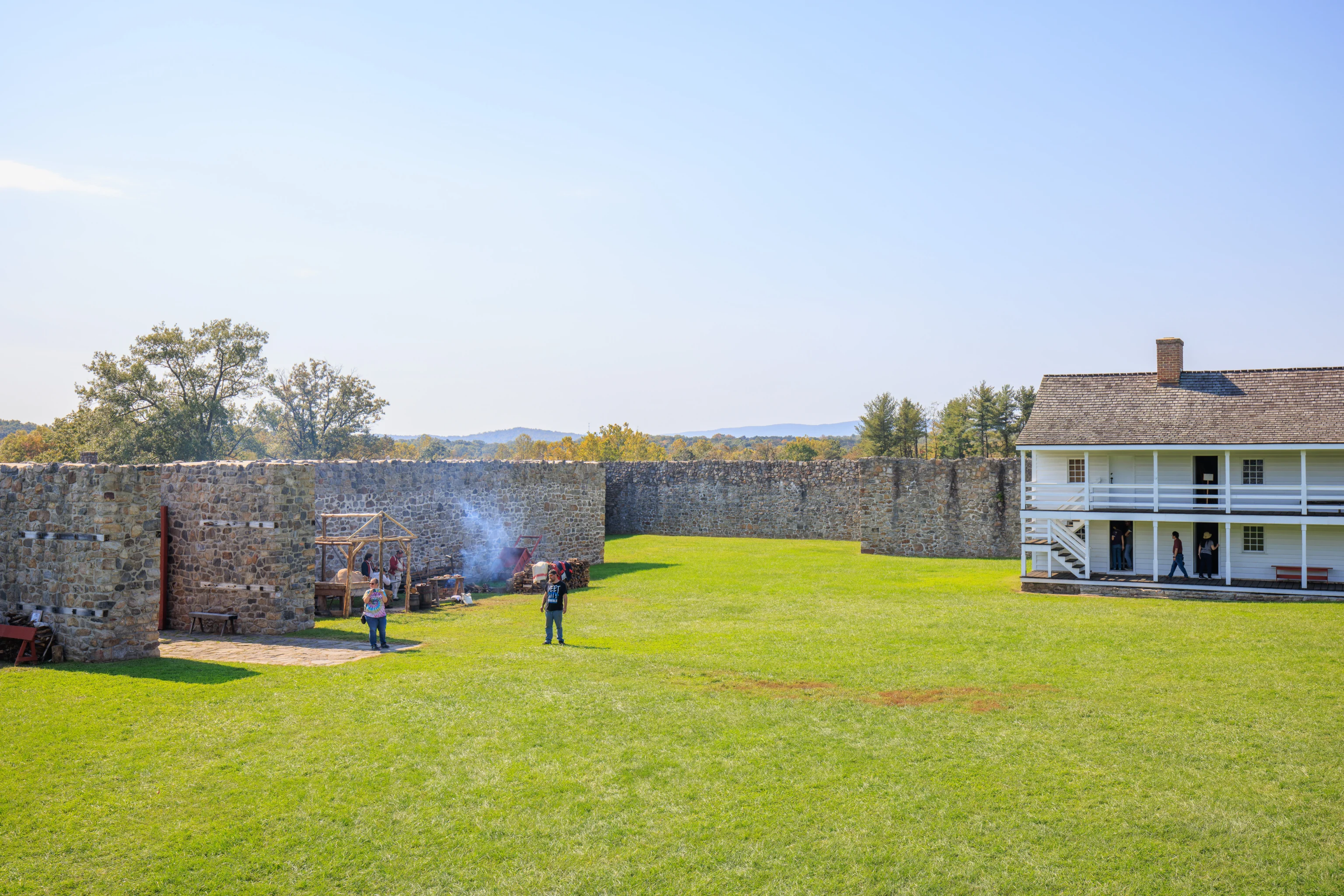
A building that was on the north side of the fort is no longer present.
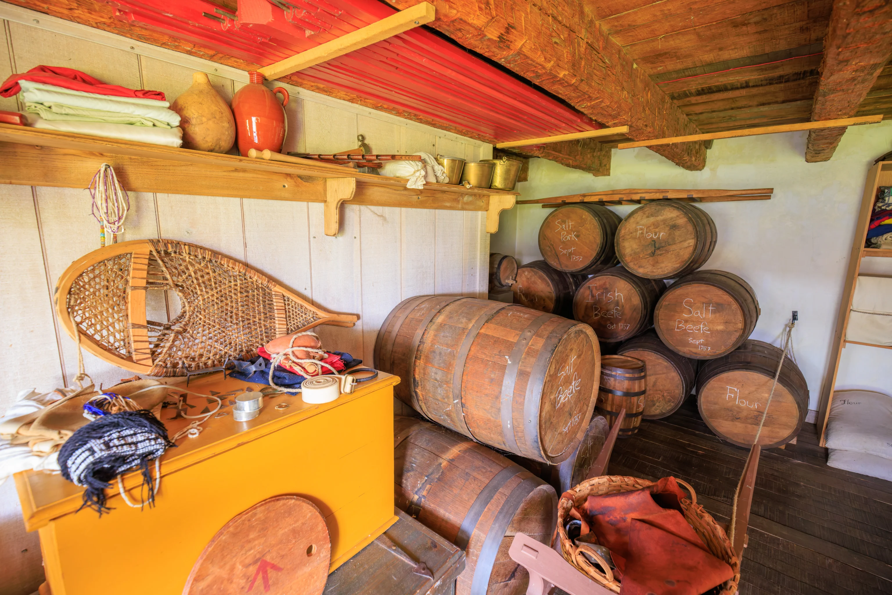
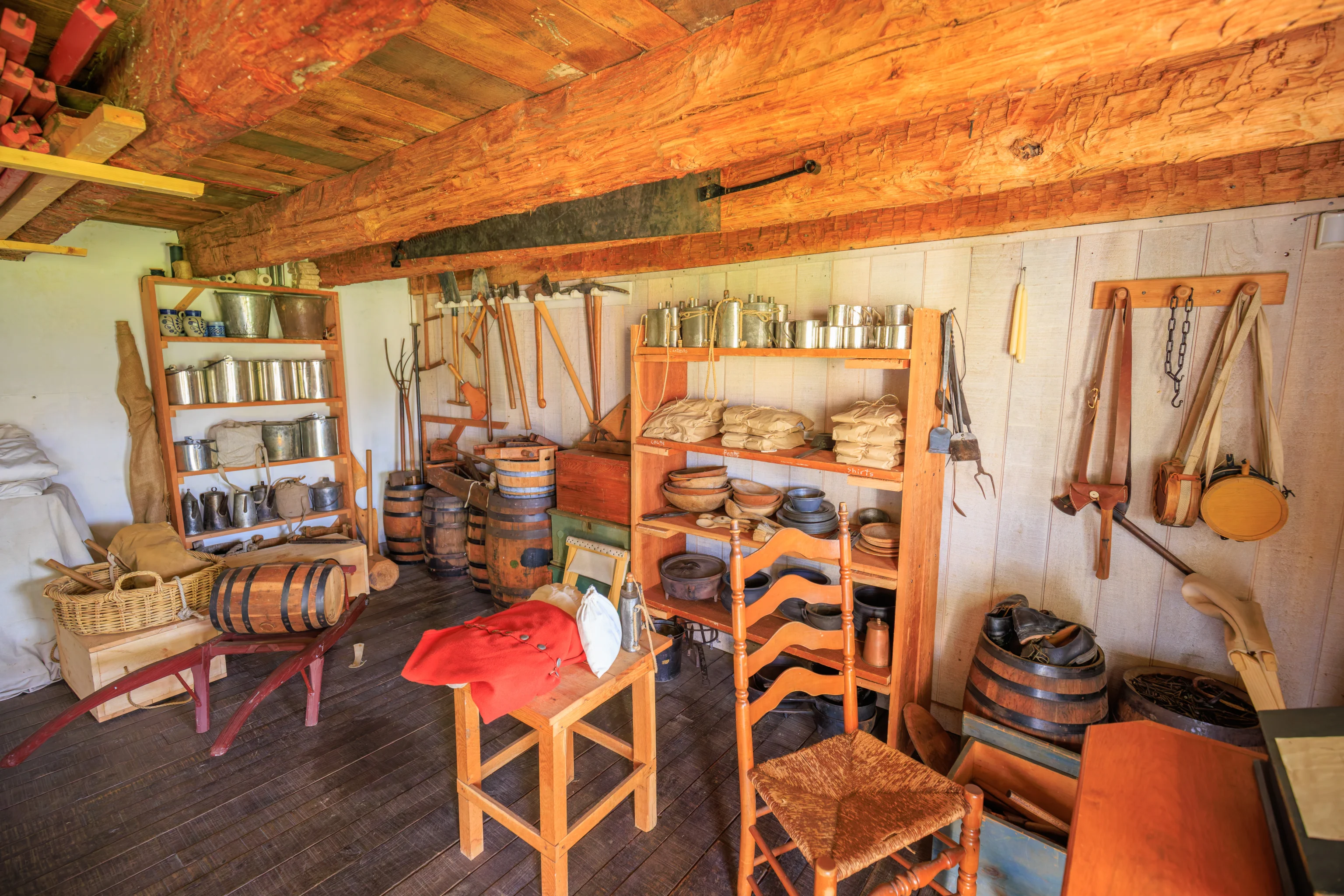
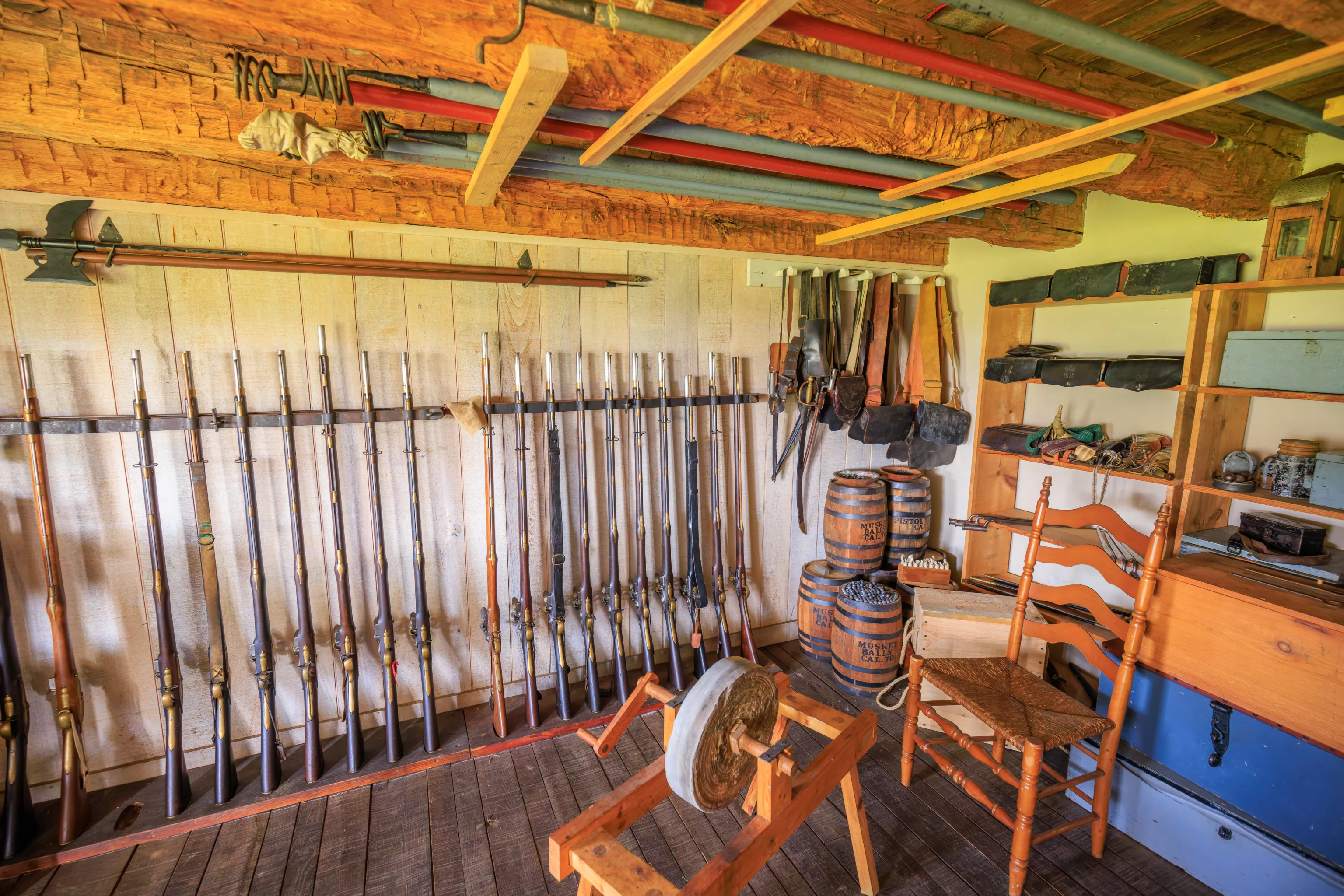
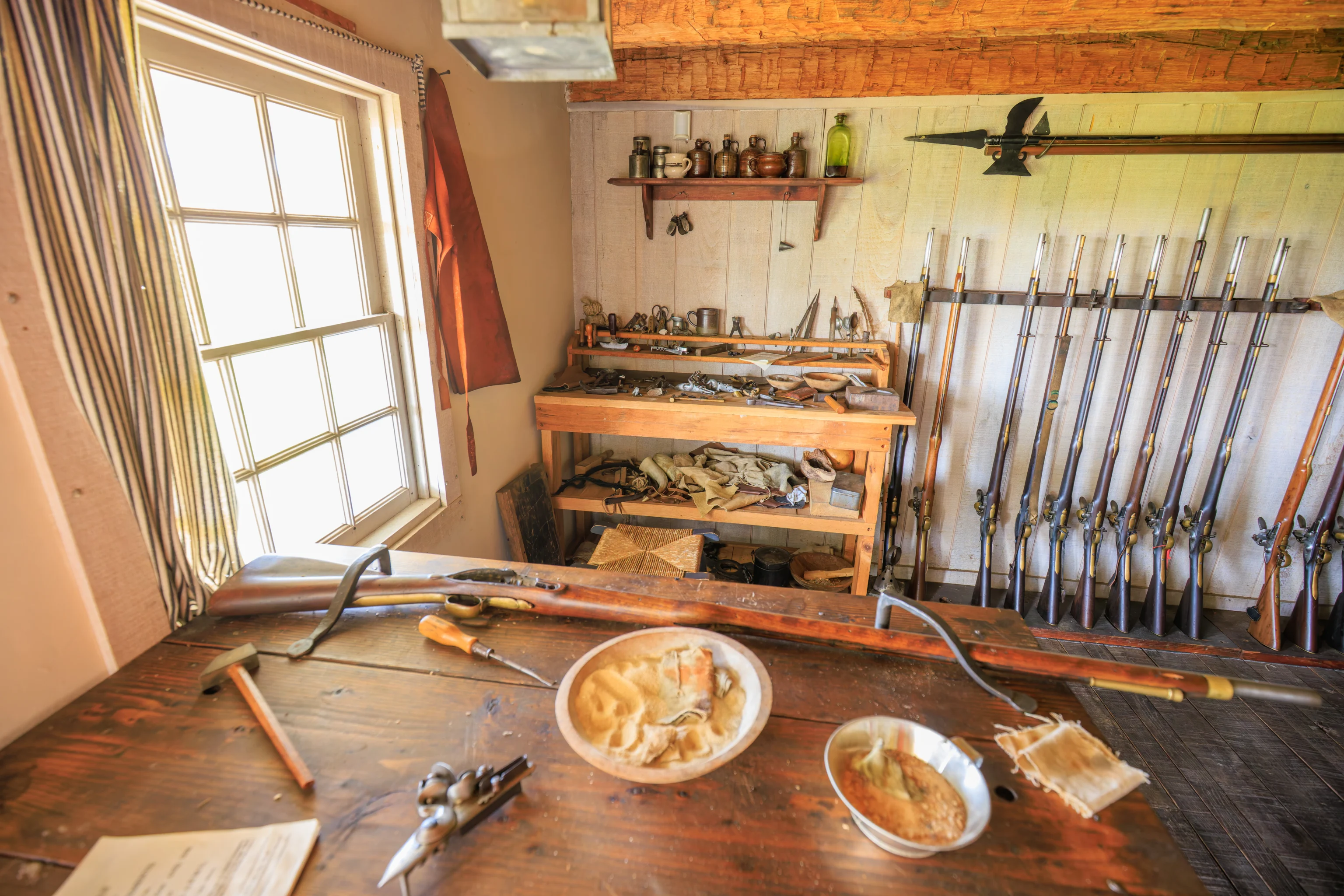

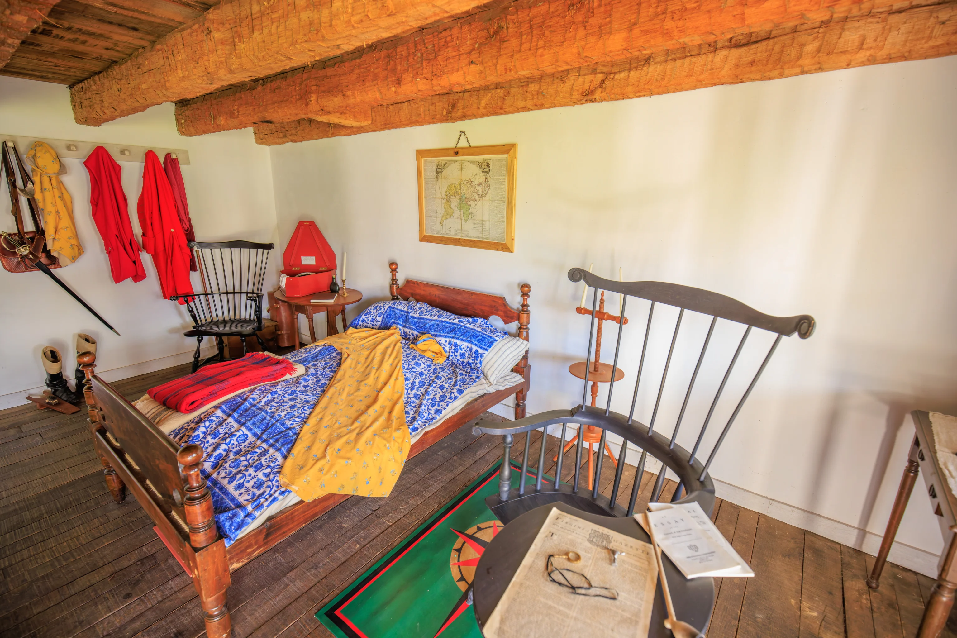
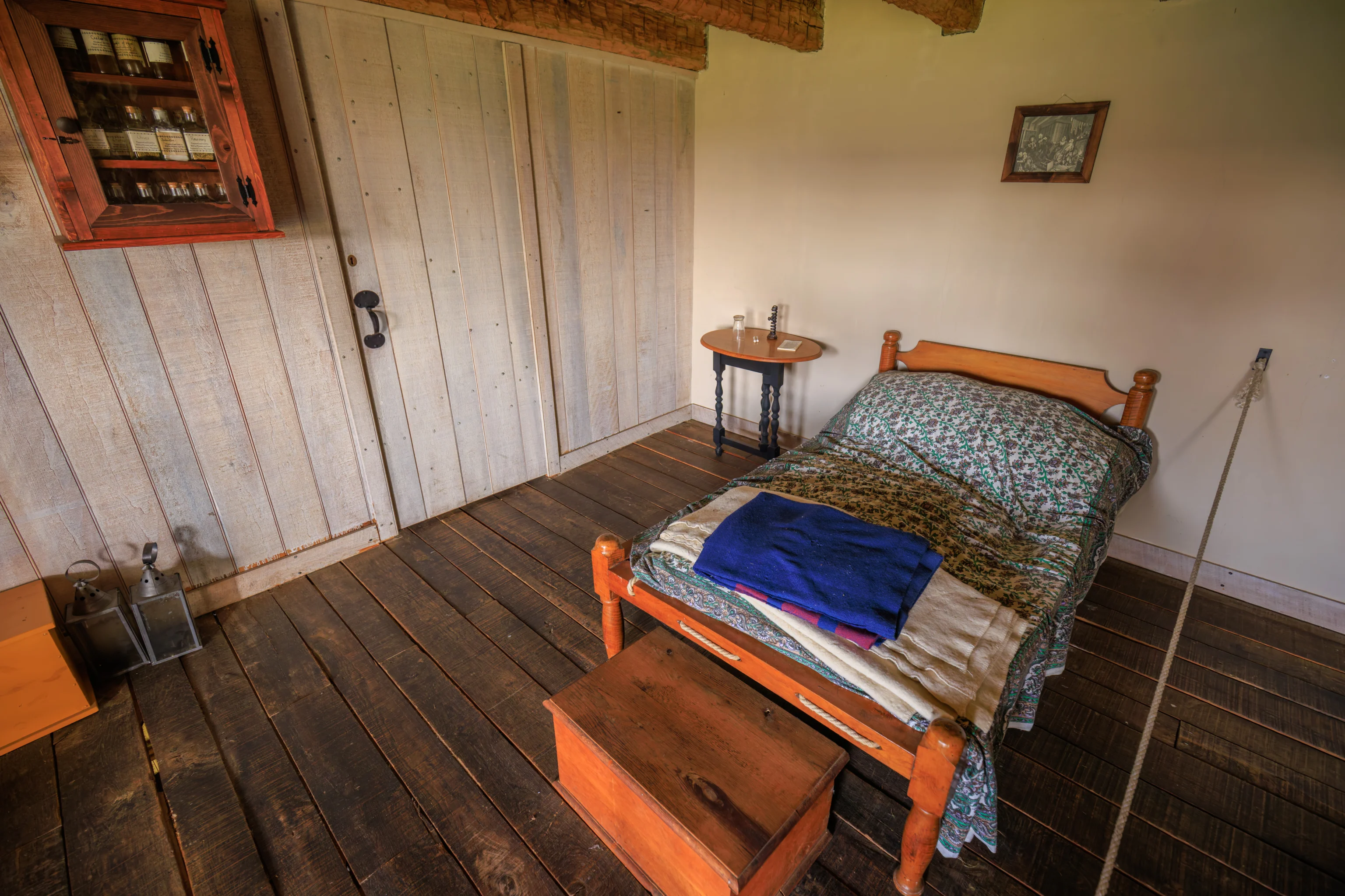
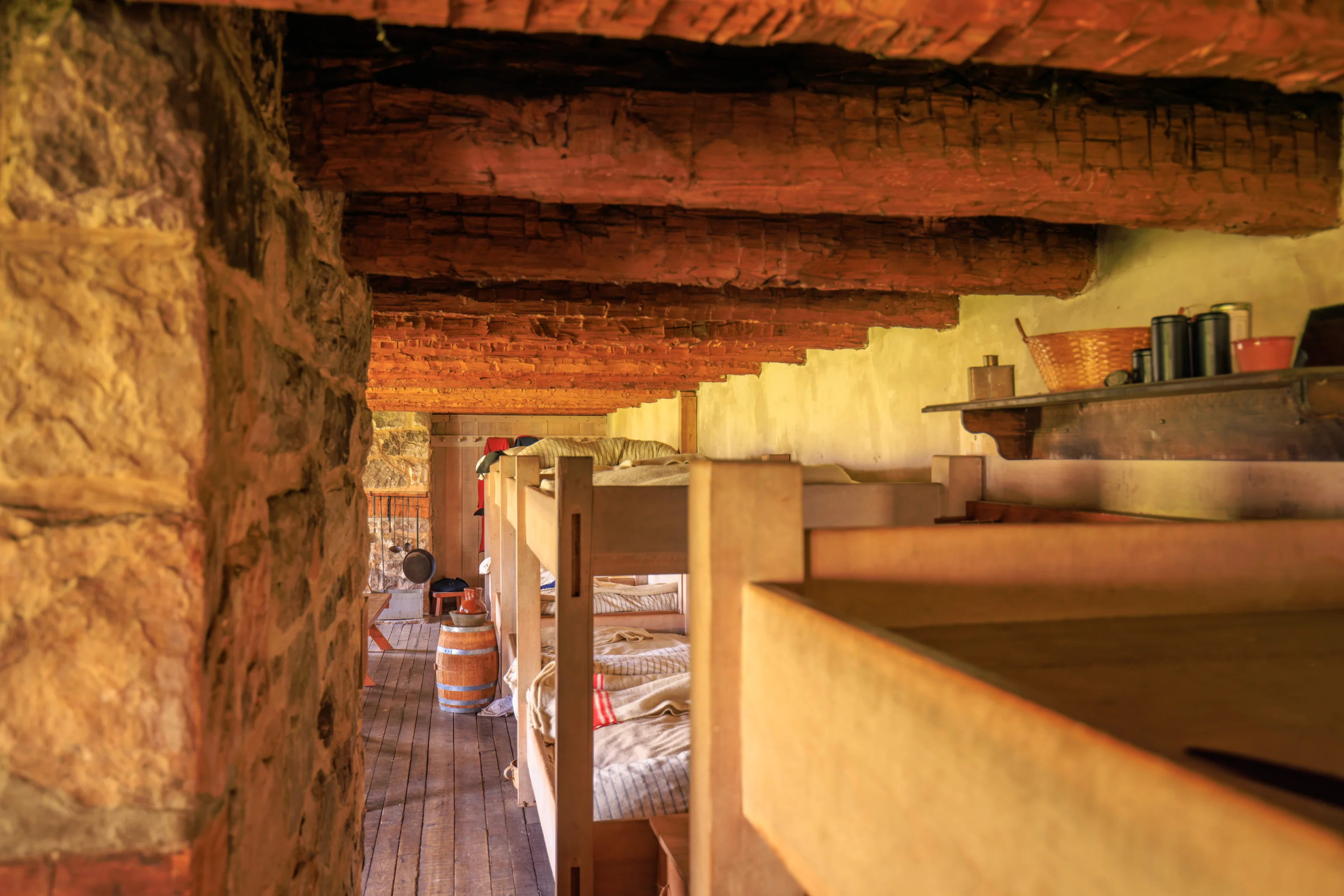
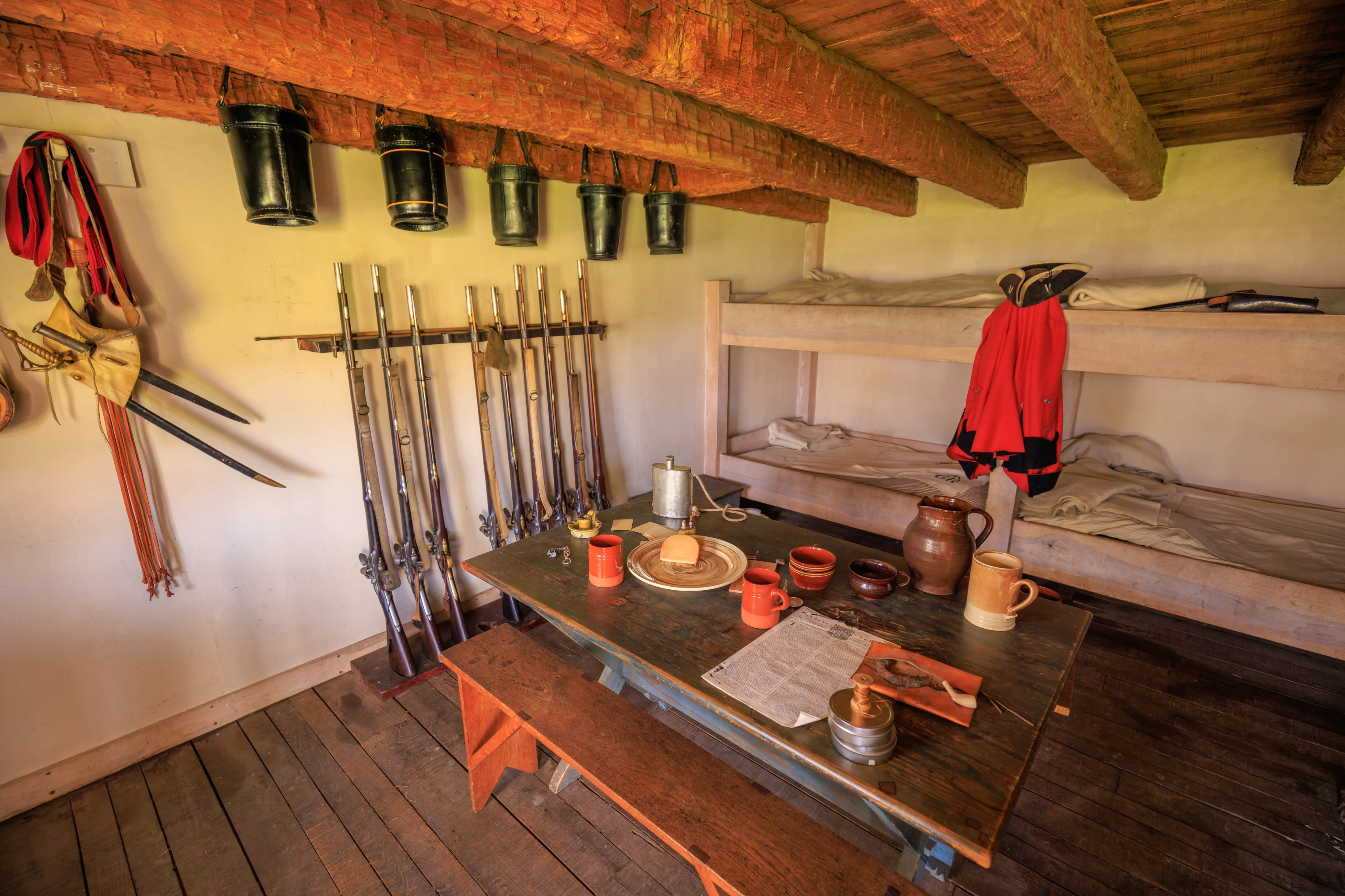
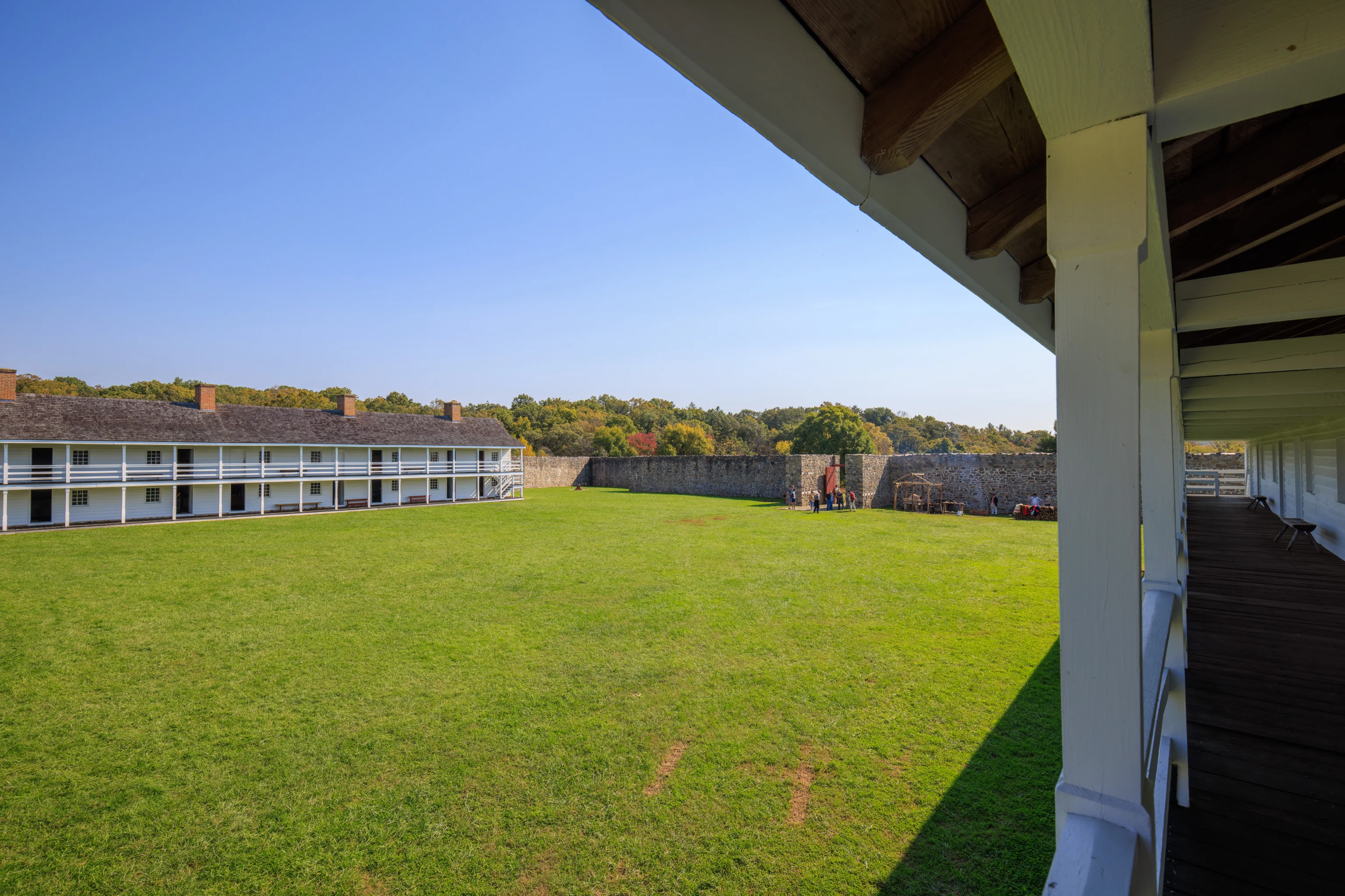
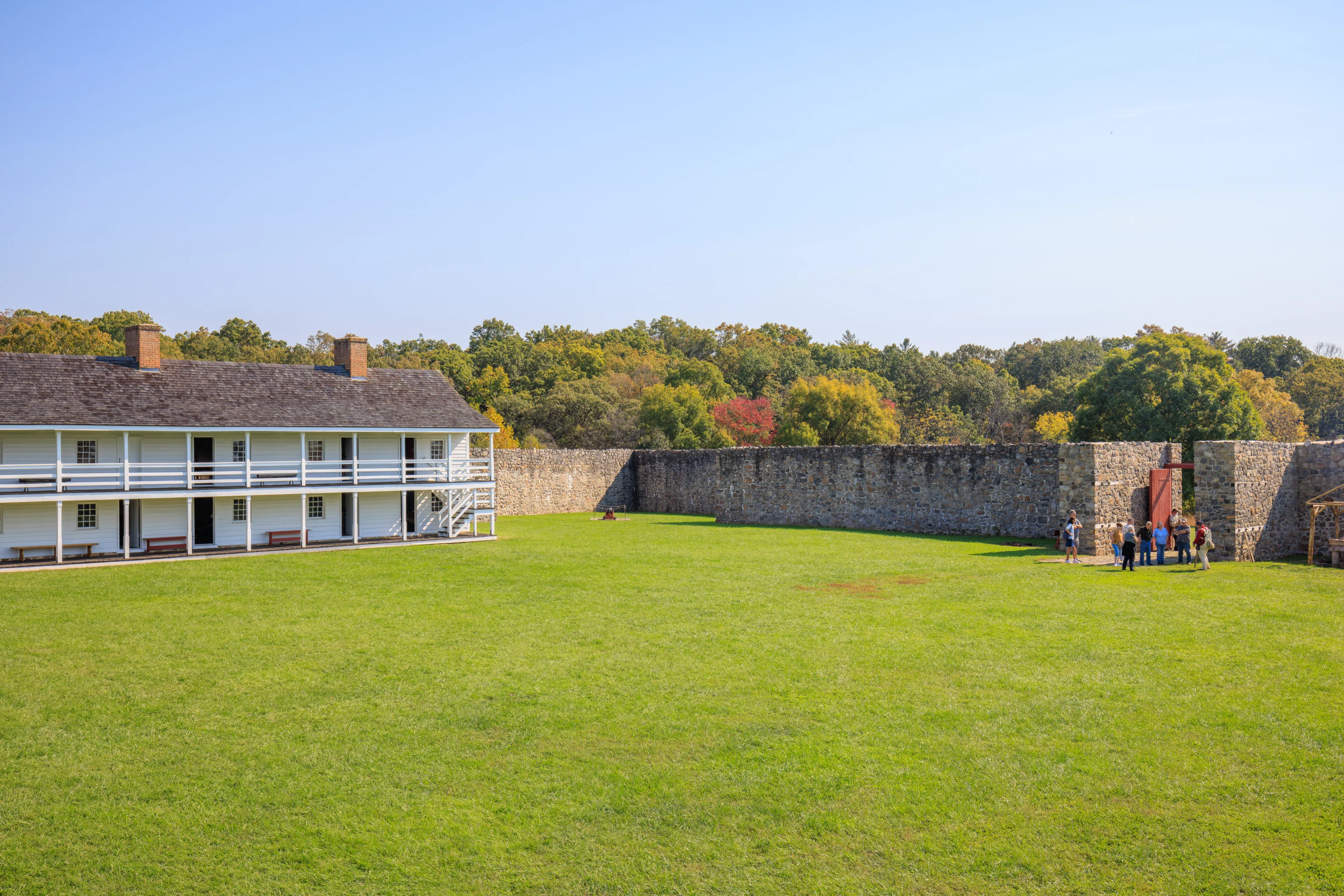
After listening to the ranger’s talk, we walked through various rooms in the long building along the east wall of the fort. The rooms included storage, an armory, and living quarters.
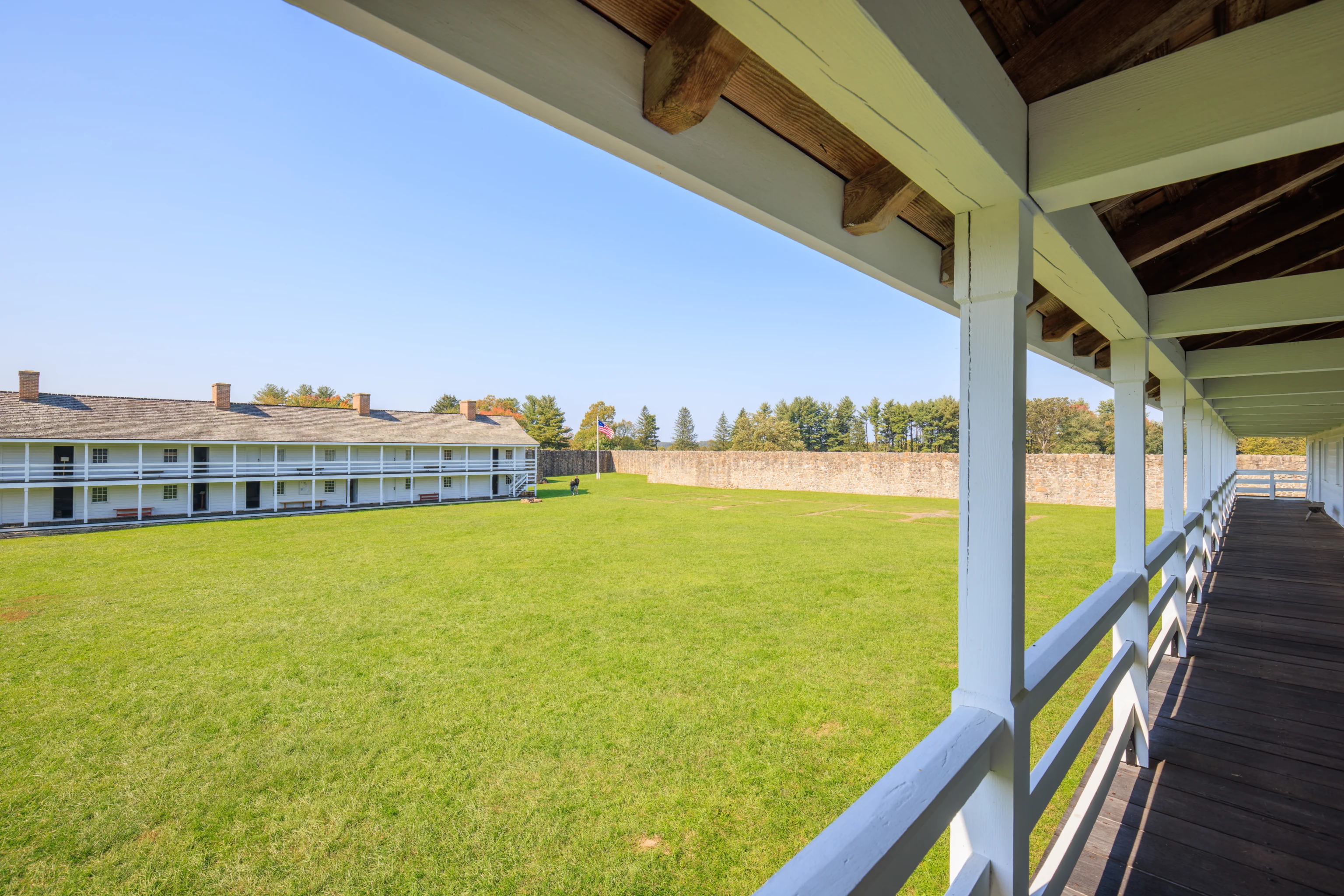
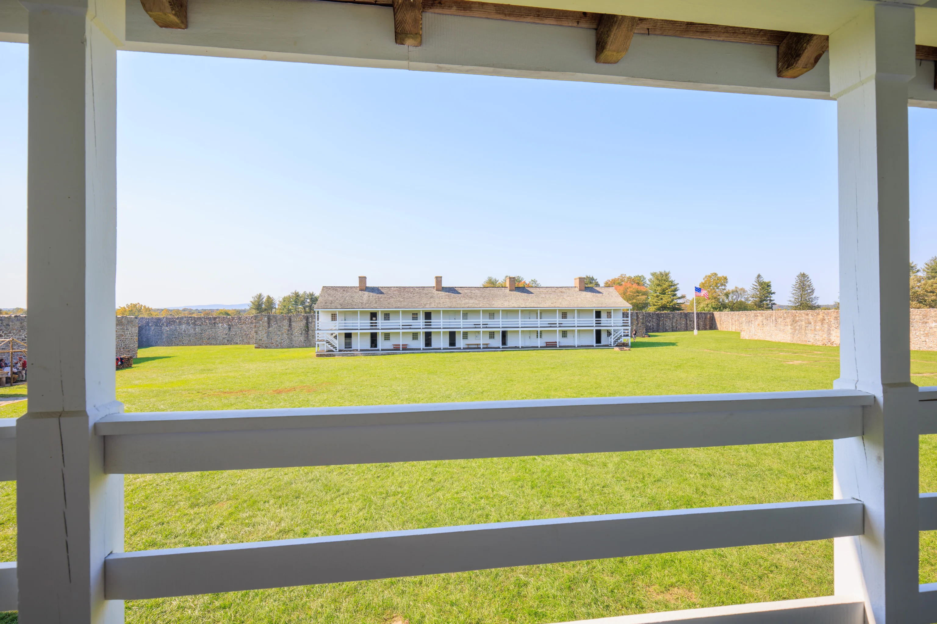
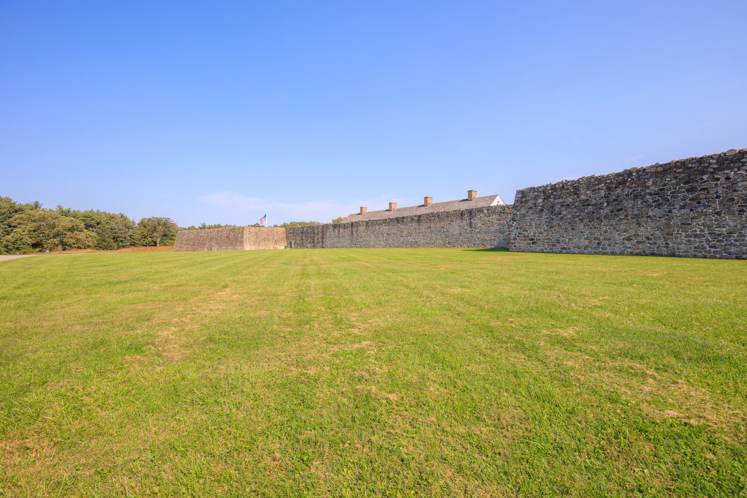
We also went upstairs to take a look at the rooms there as well as to enjoy the view of the interior of the fort. This building is looks pretty much identical to the one on the opposite side.
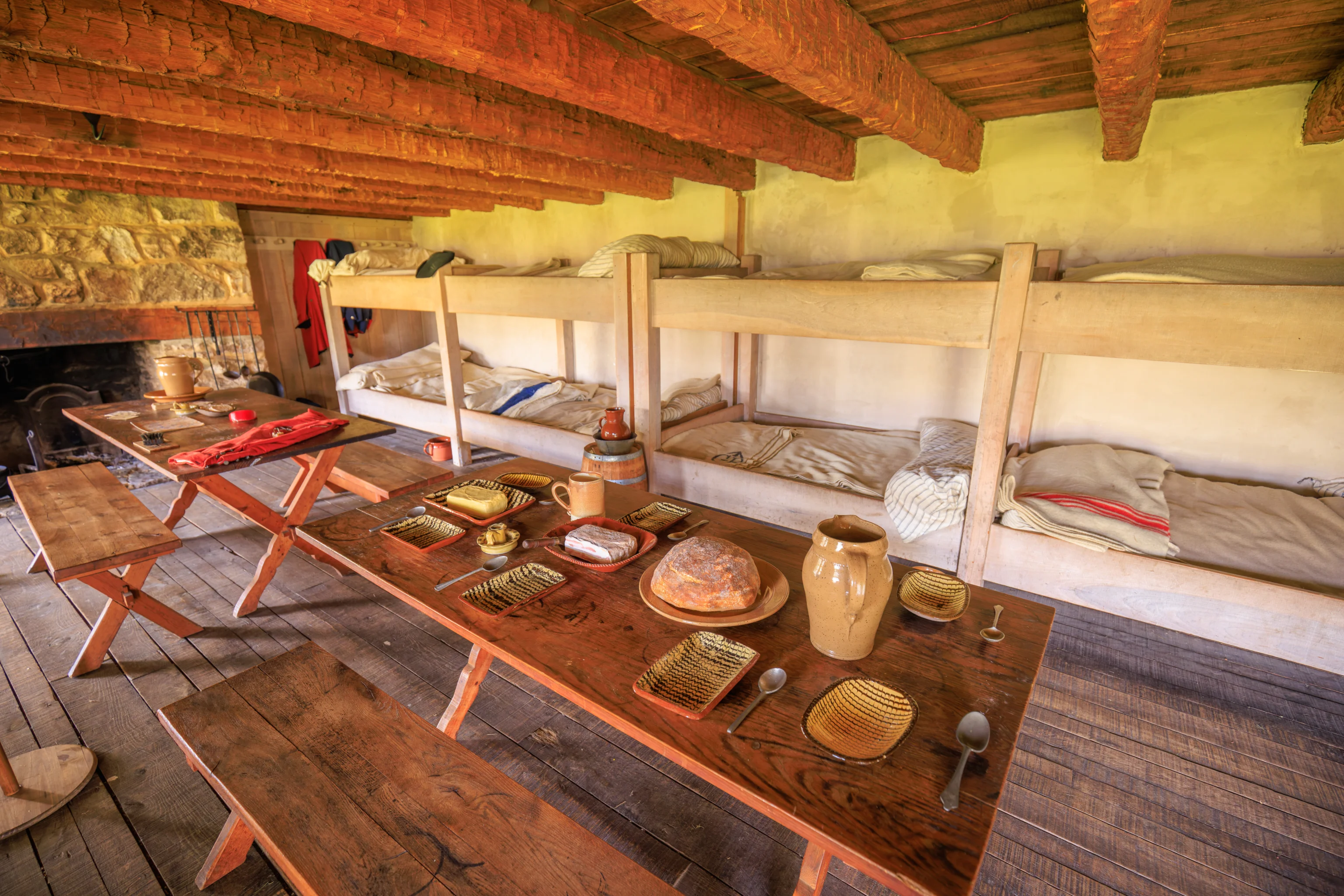
There was a small cooking area by the entrance. We’ll check it out later.
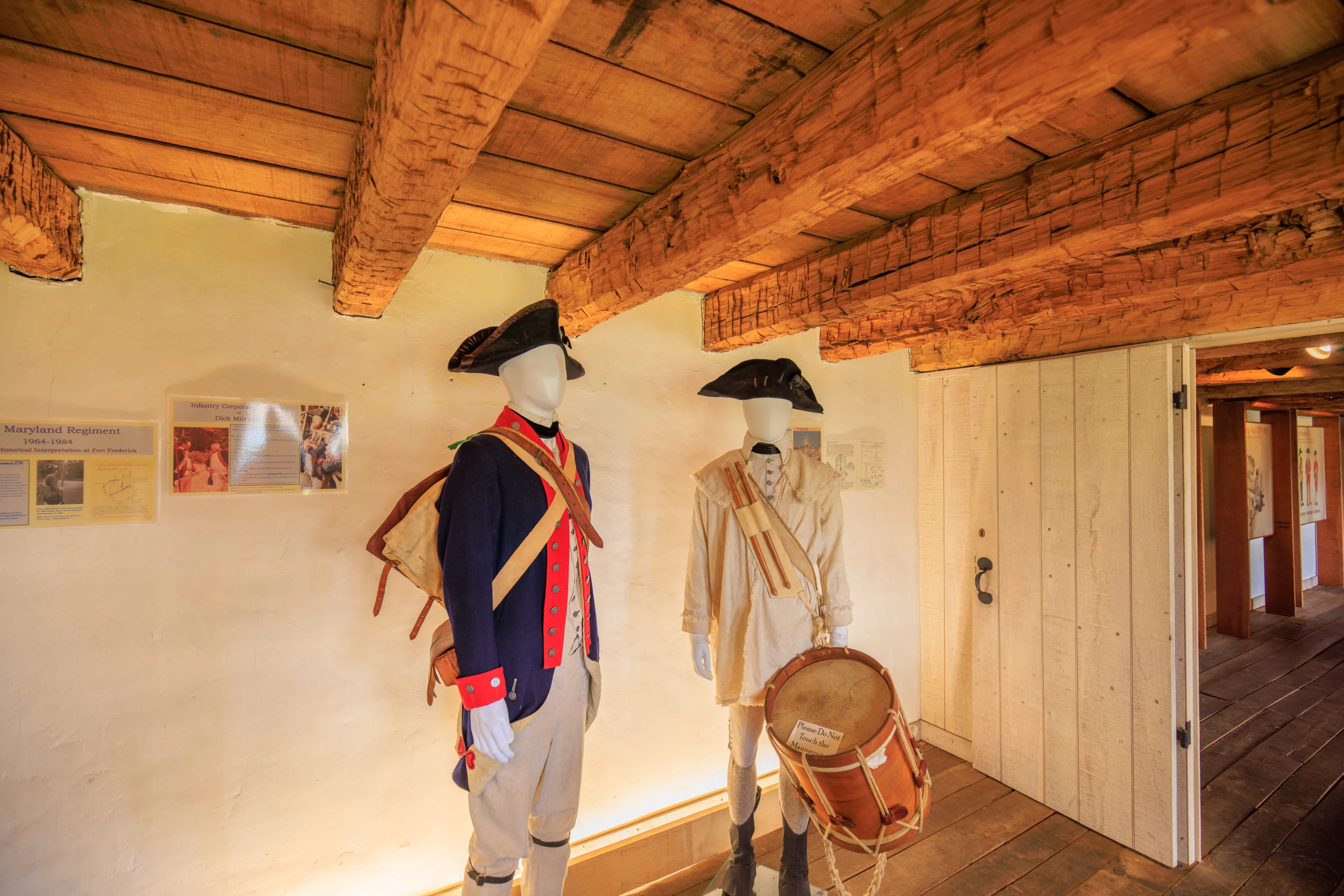
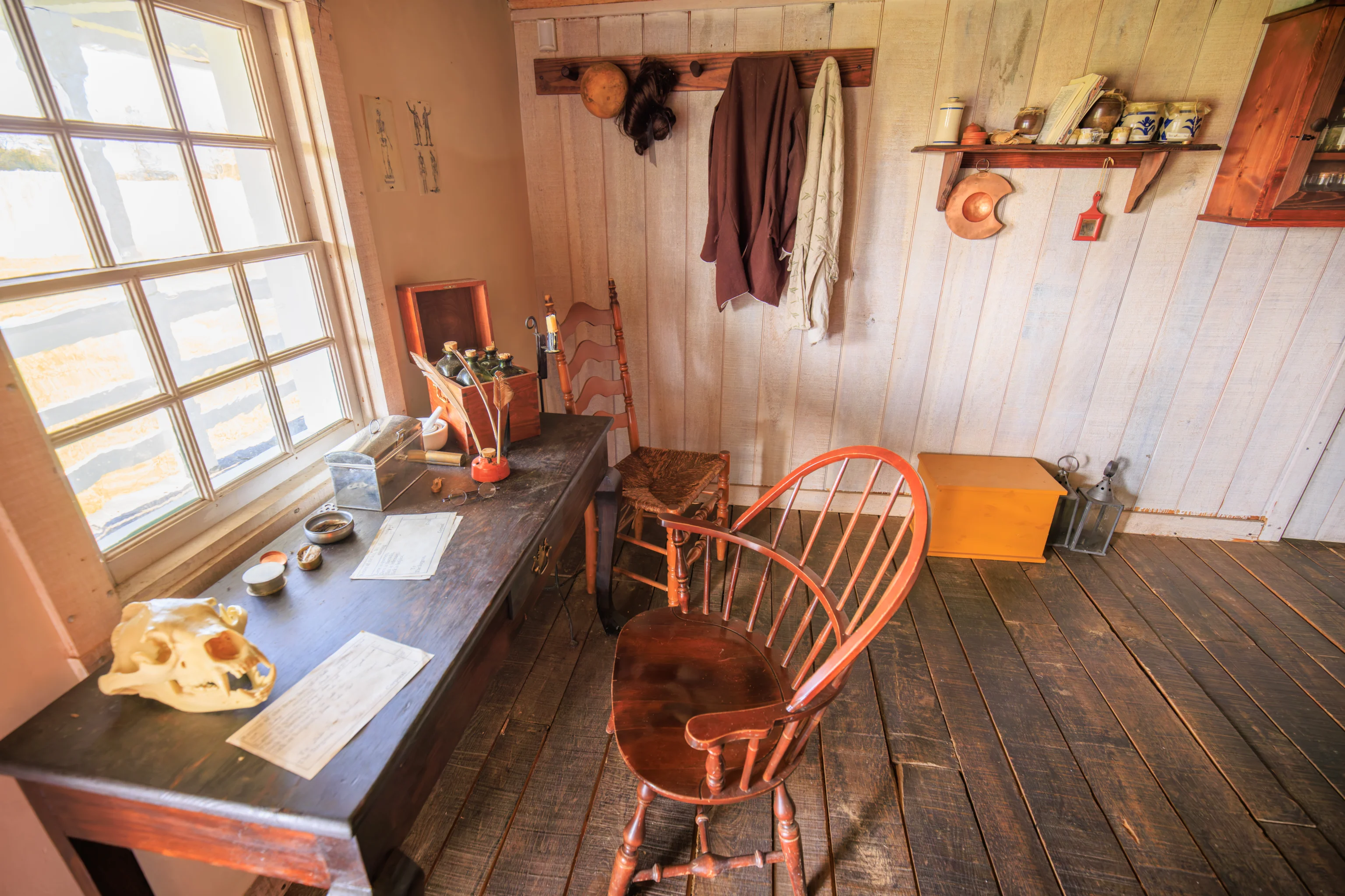
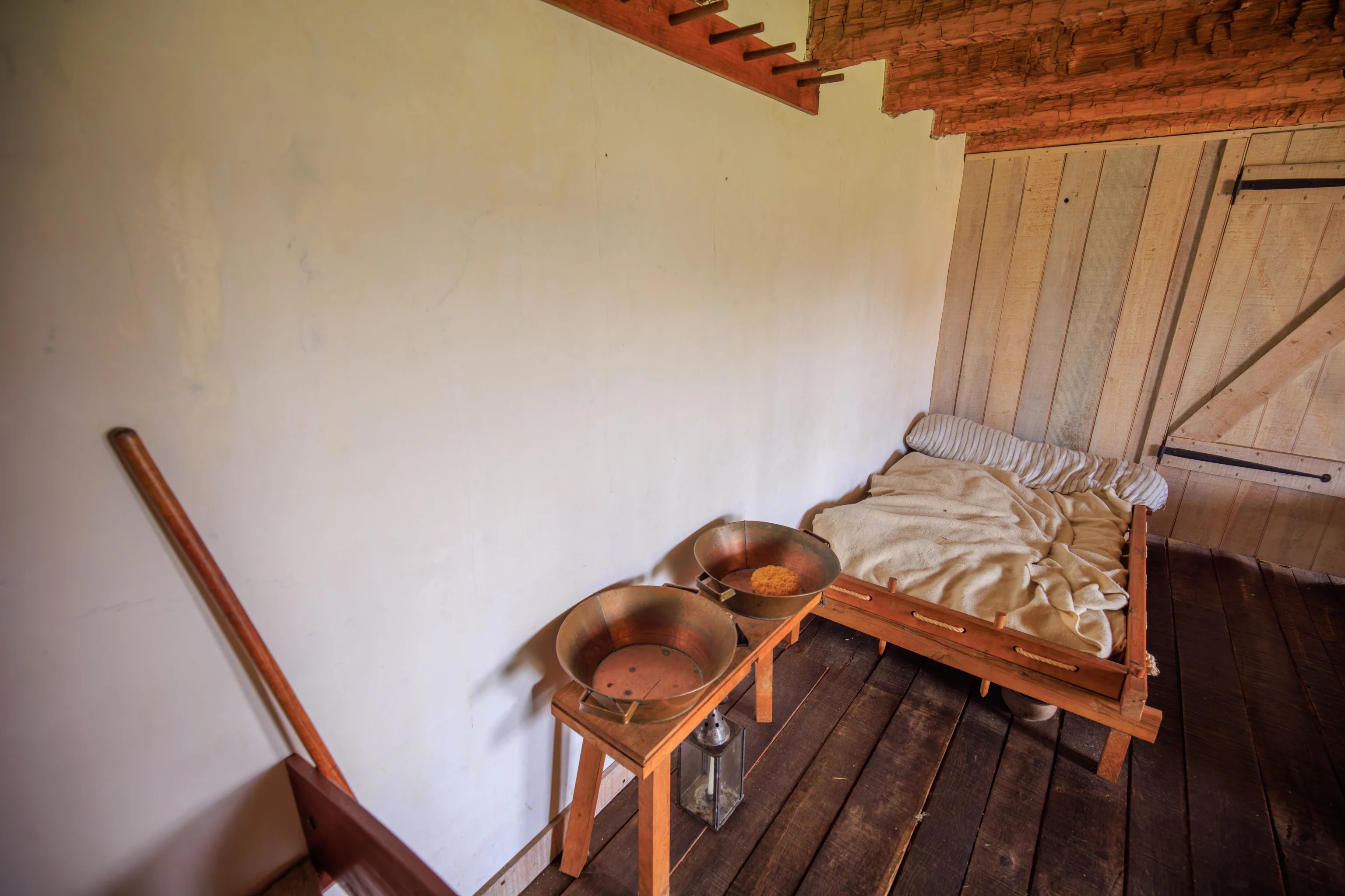
We walked through a few more rooms, including an infirmary. Definitely wouldn’t want to have to end up there given what passed for health care in those times!
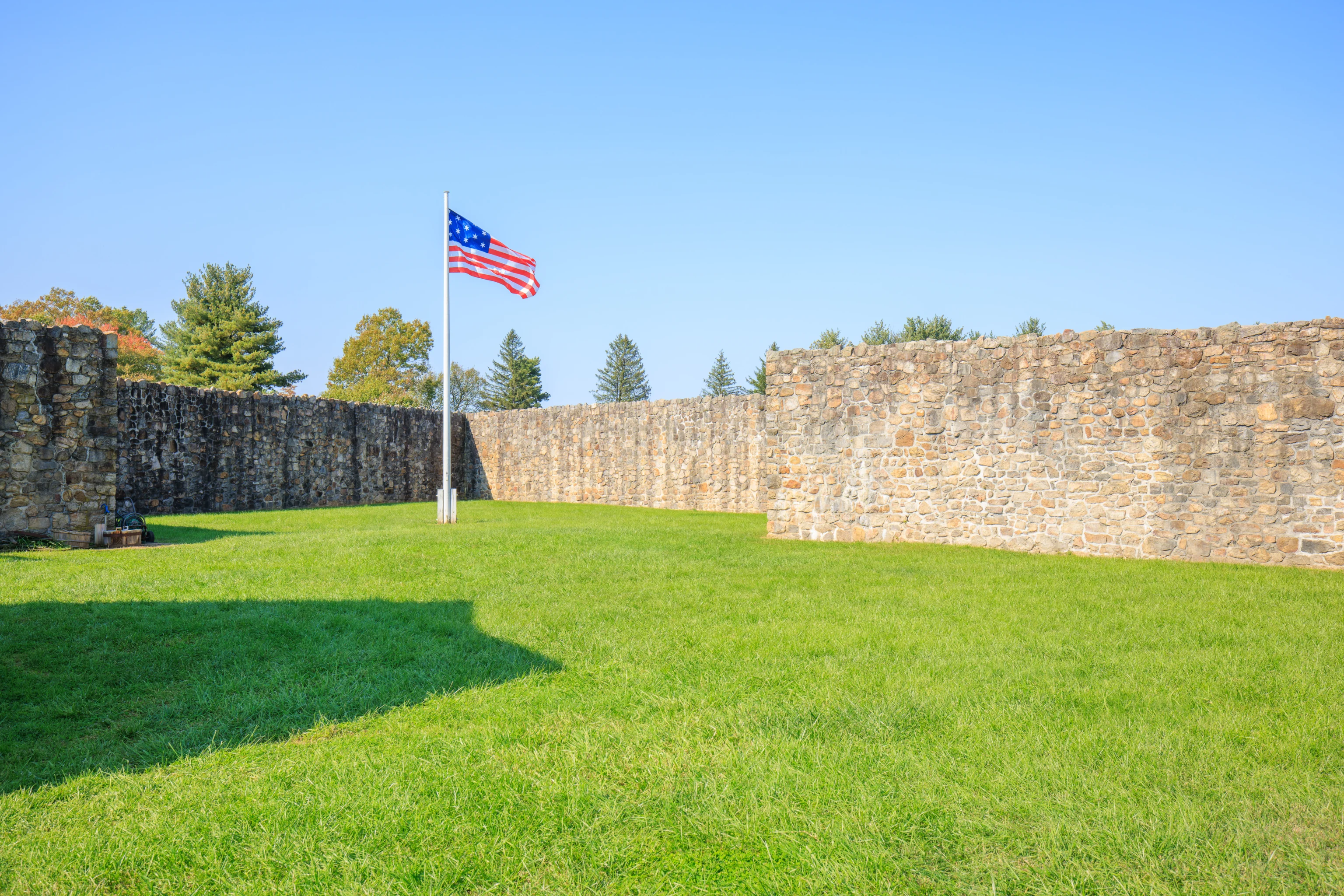
We then walked over to the west side of the fort. This flag was flying at the northwest corner.
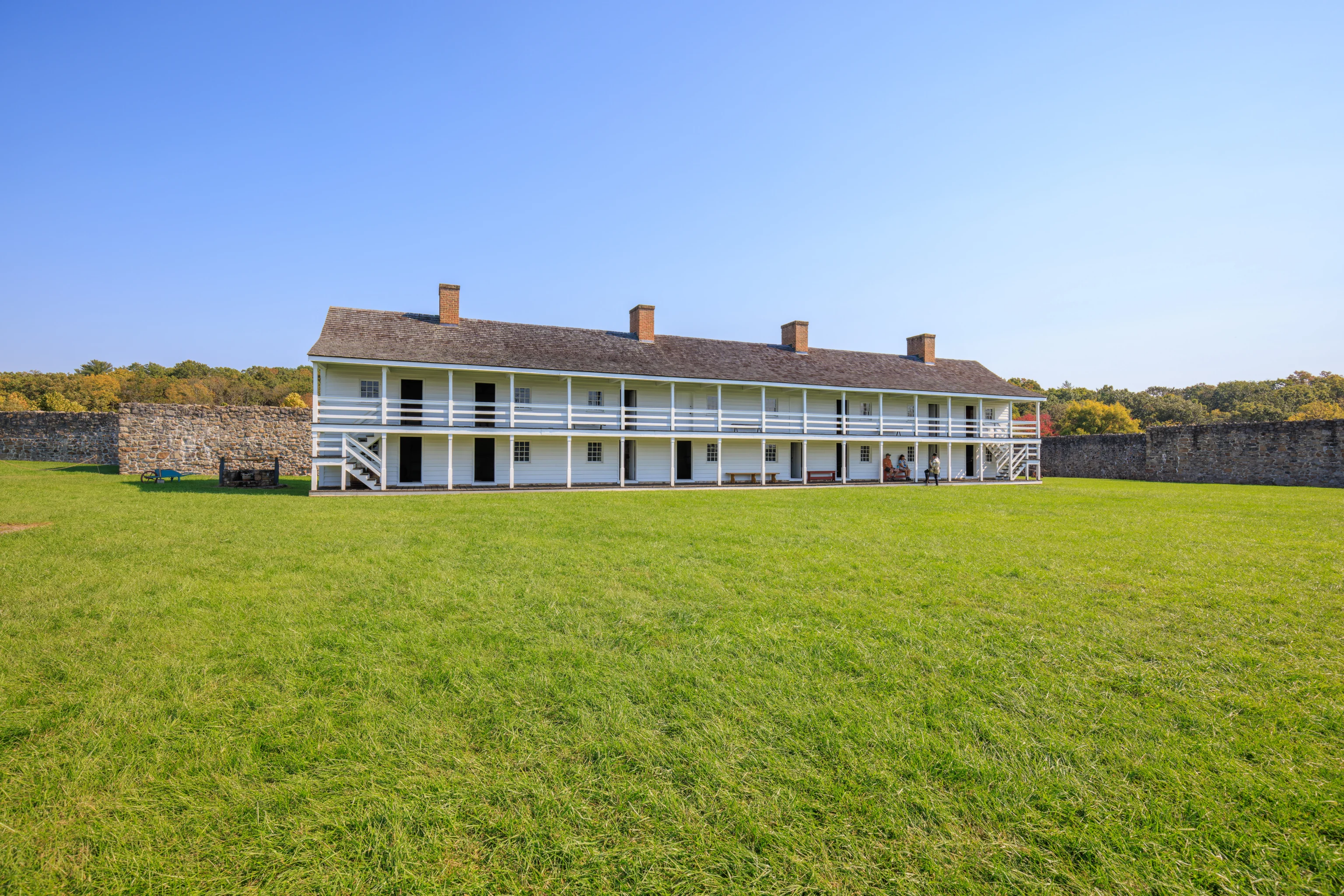
The east building, which we just came from, as seen from the west. The well is to the left in the shadow of the building.
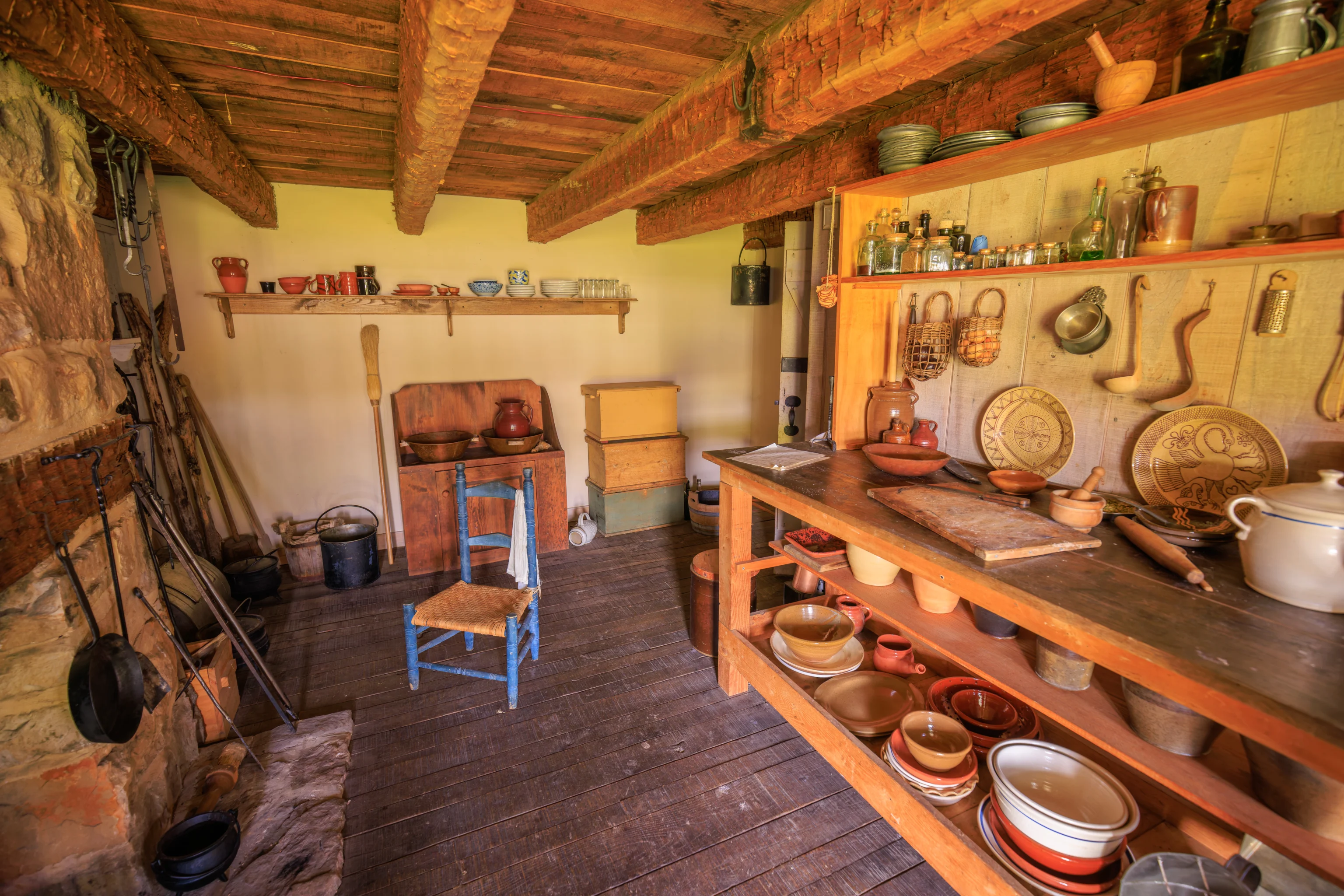
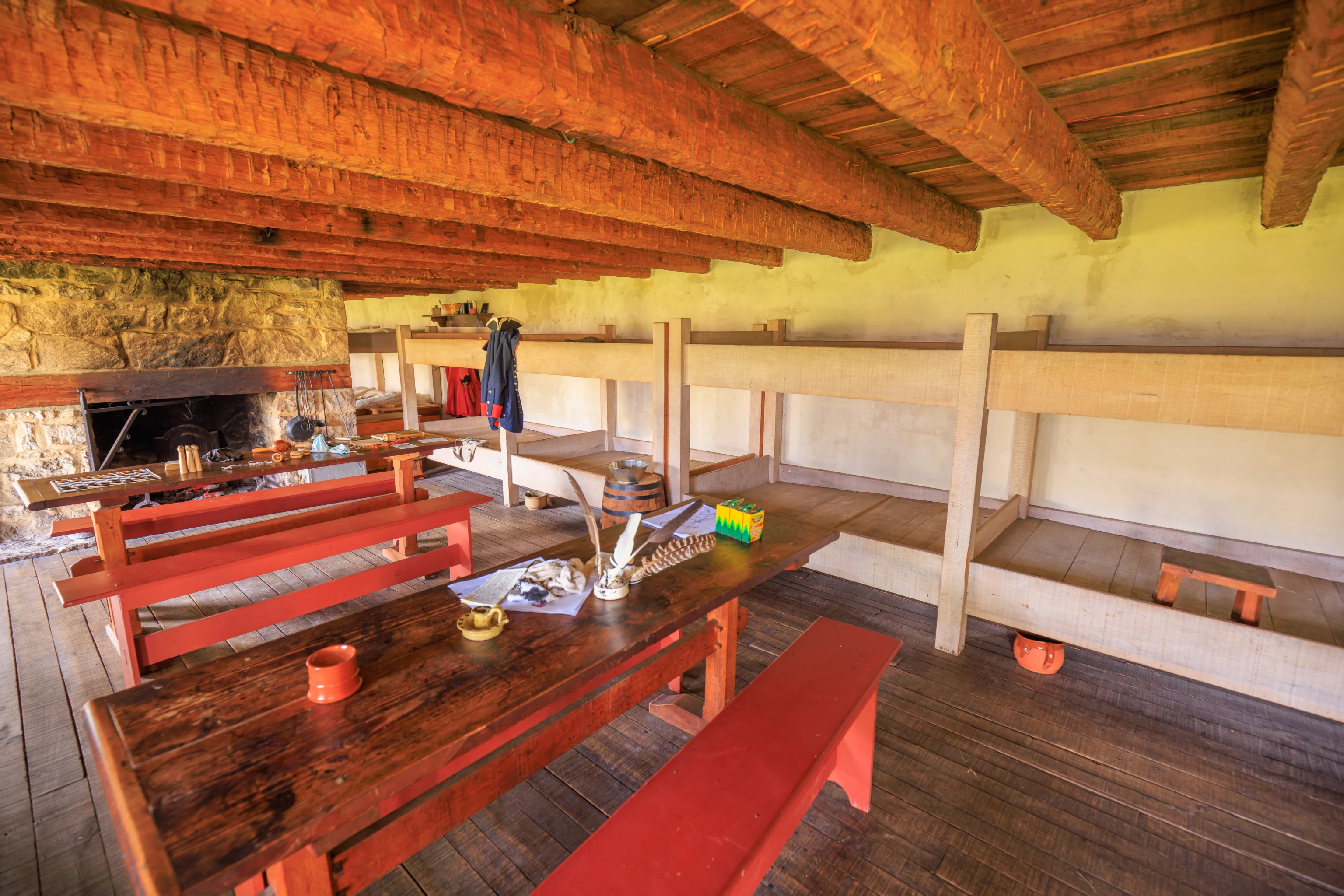
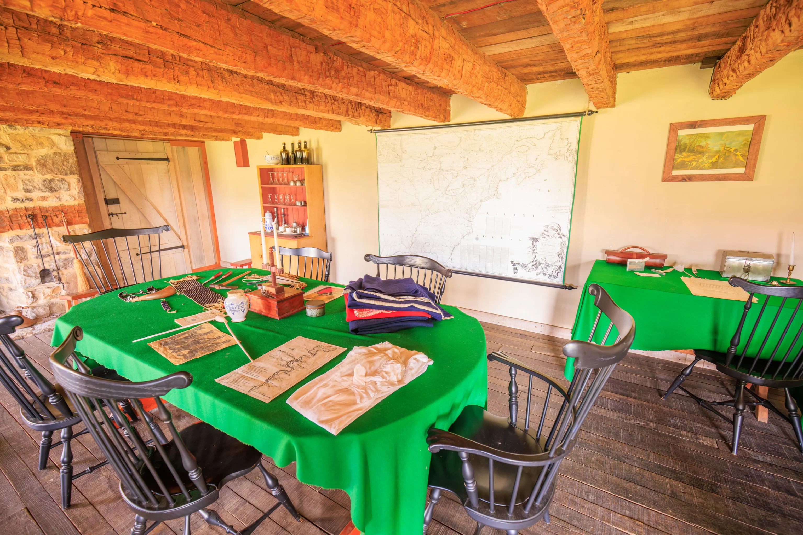
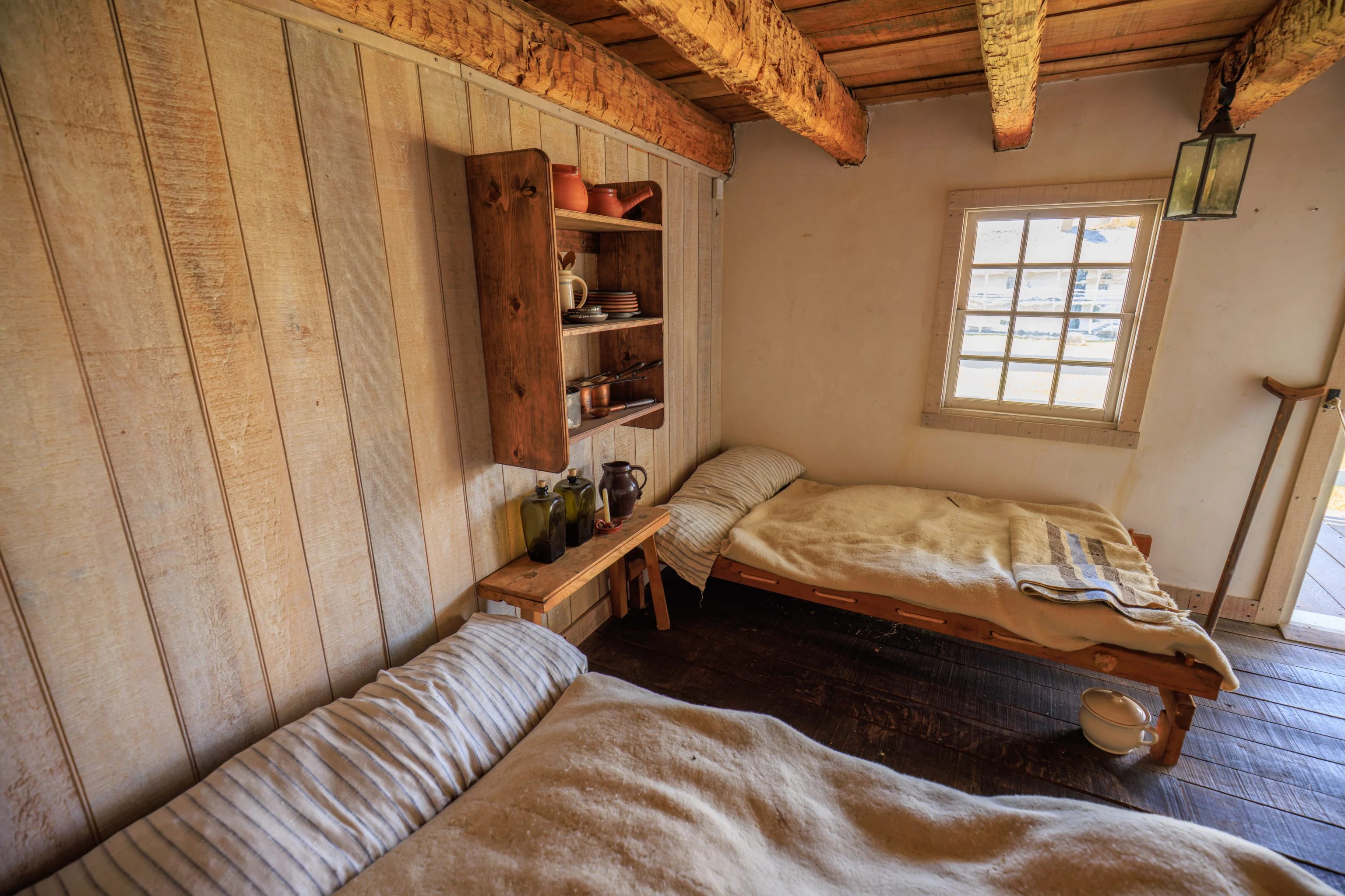
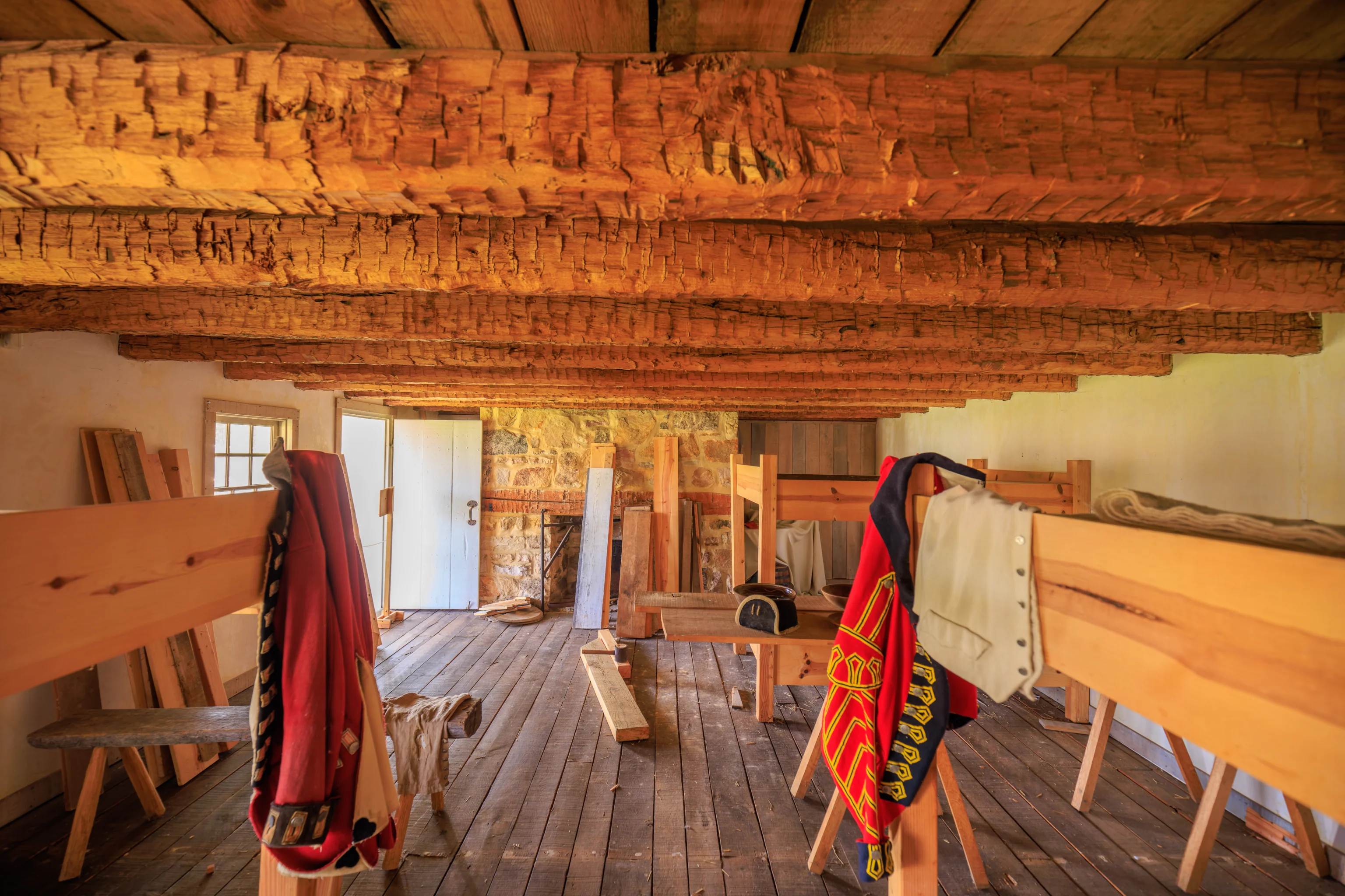
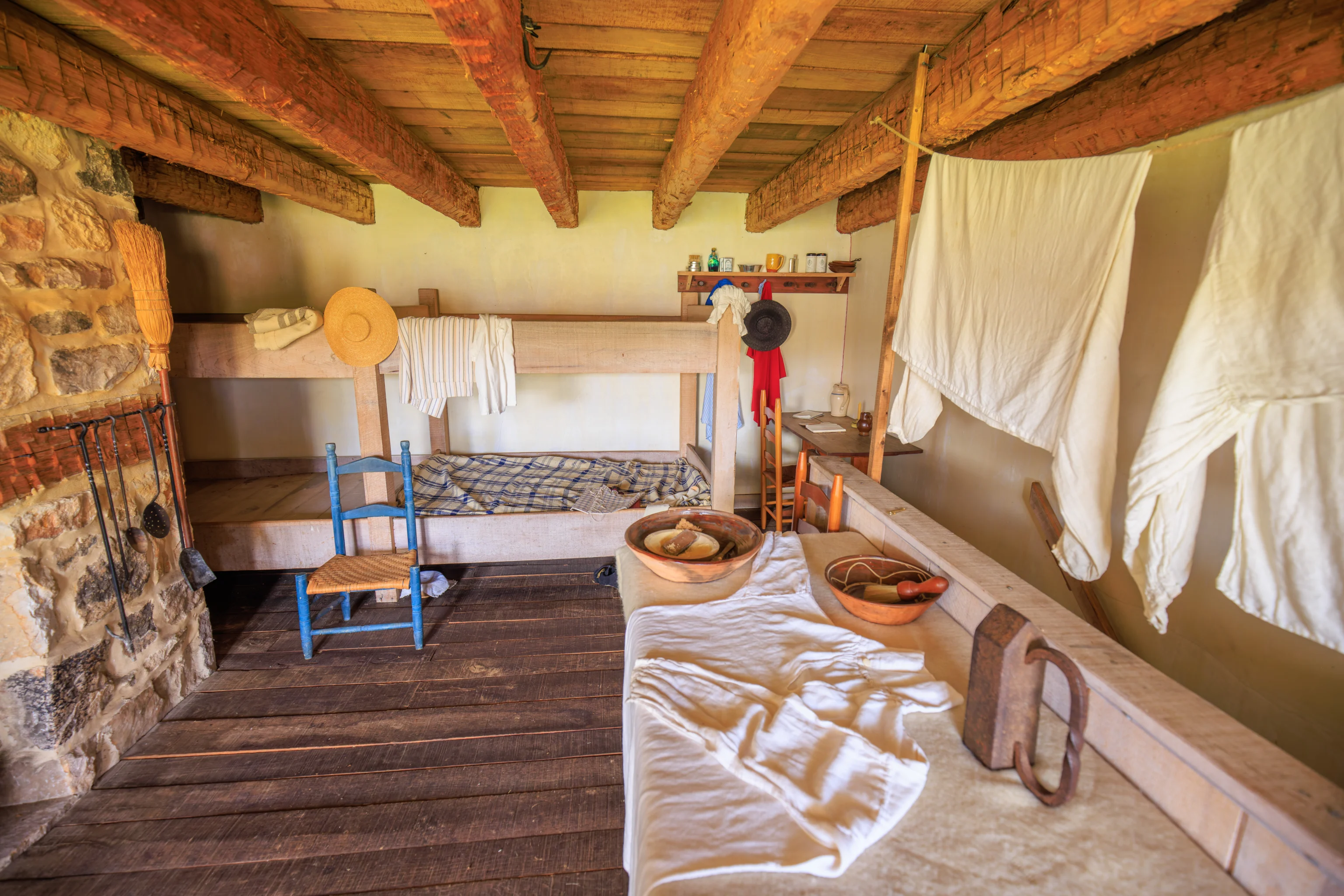
We started to walk through the rooms in the west building. There are some historical inaccuracies here, like the crayons on the table! Most likely, there was a children’s activity here.
This fireplace seems like it would be a nice place to sit in front of during the colder winter months!
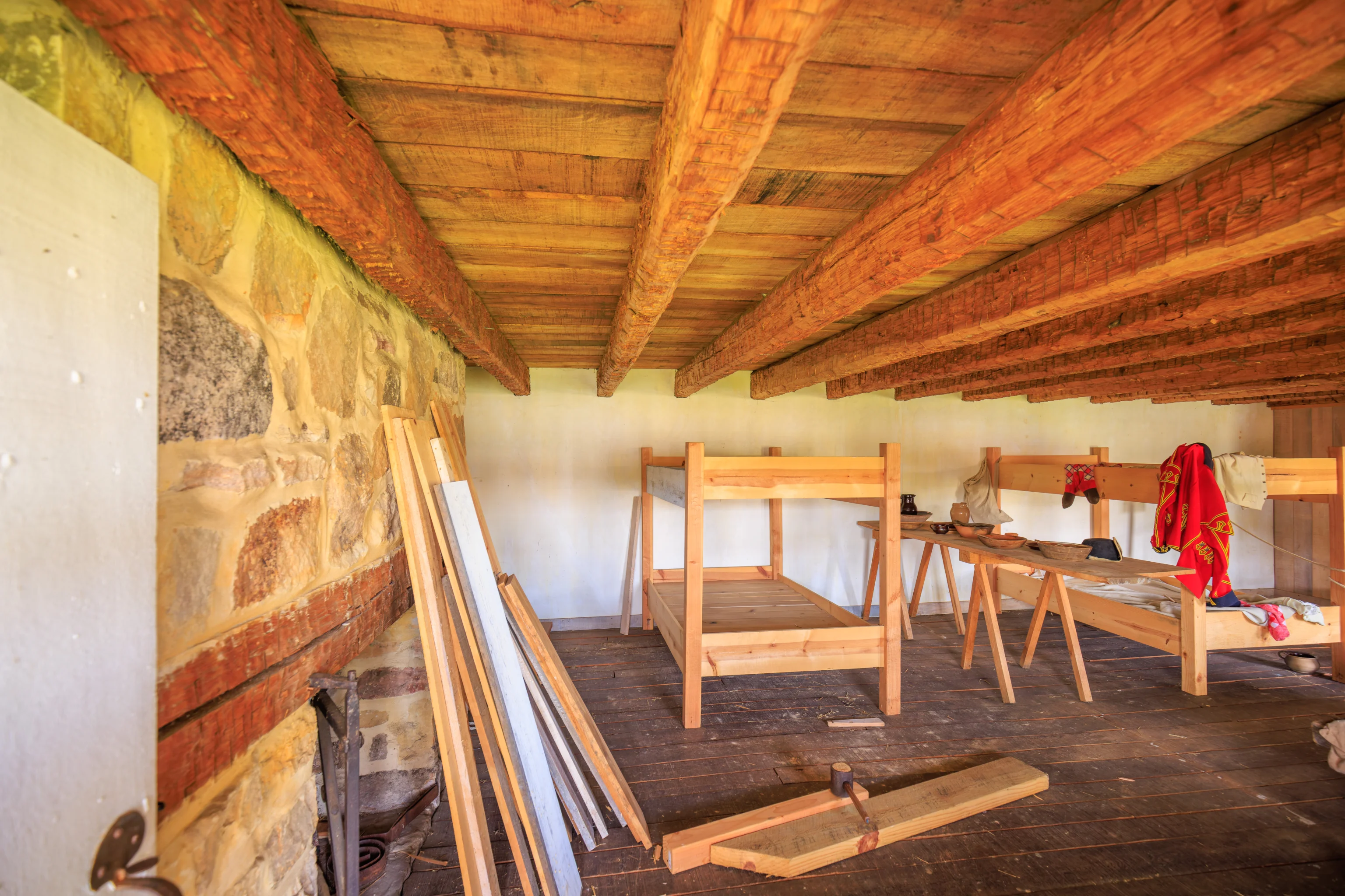
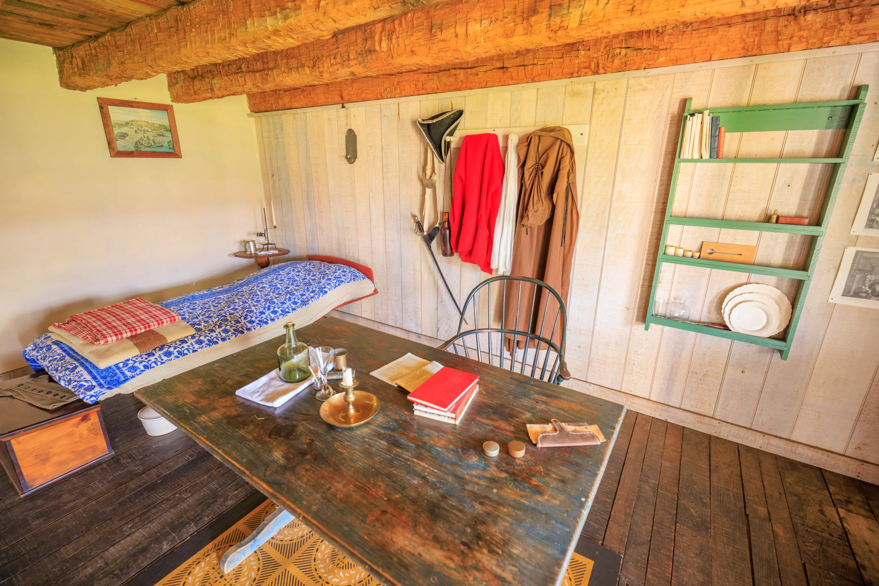
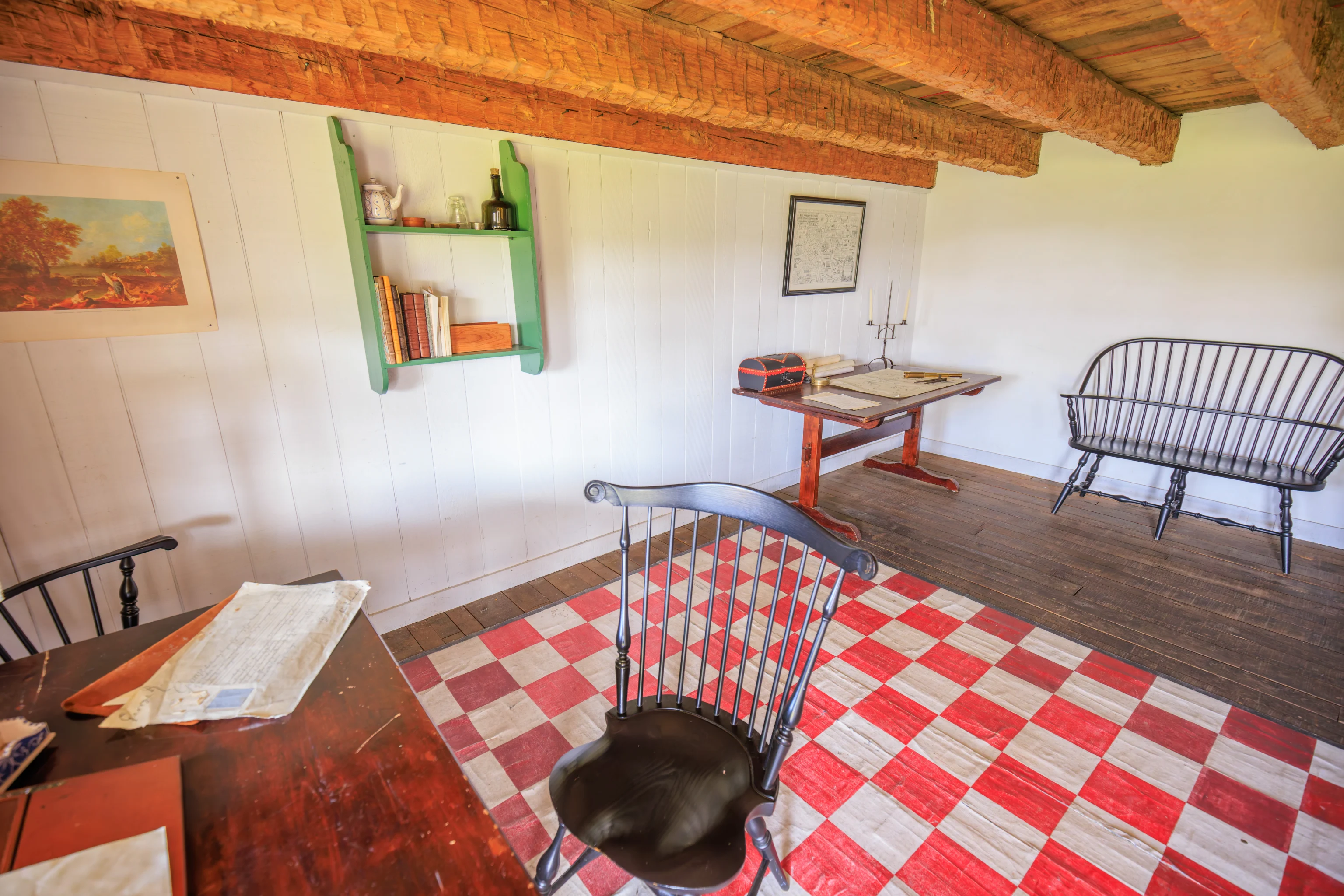
We continued walking through the remainder of the rooms in the west building. We noticed some furniture under construction.
The view from the west building.
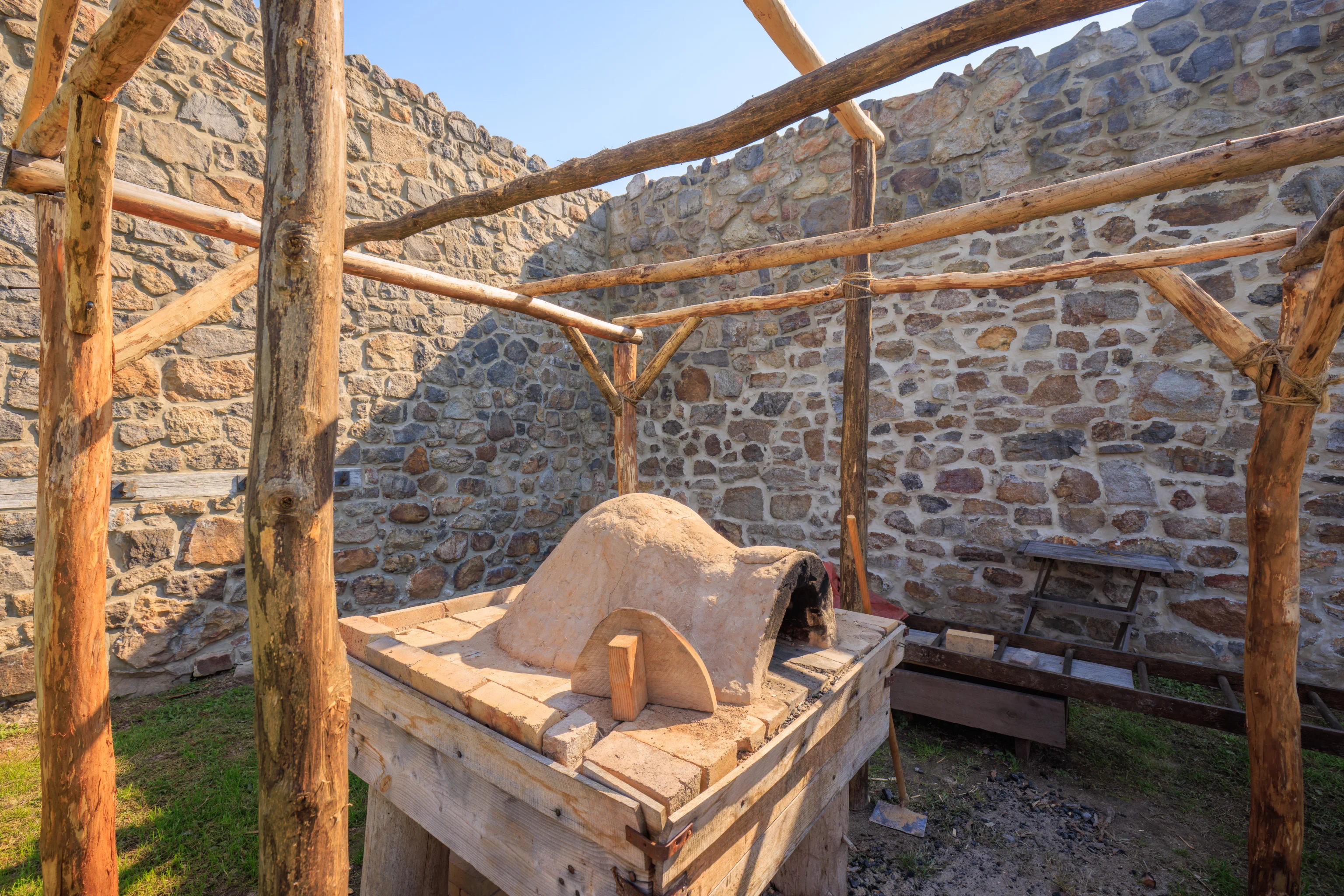
Next, we went to the cooking area by the fort’s entrance where a ranger talked a bit about how much food needed to be prepared daily for the fort. It was quite a bit! This oven was built by the rangers! It is much smaller than that would have been necessary for the fort.
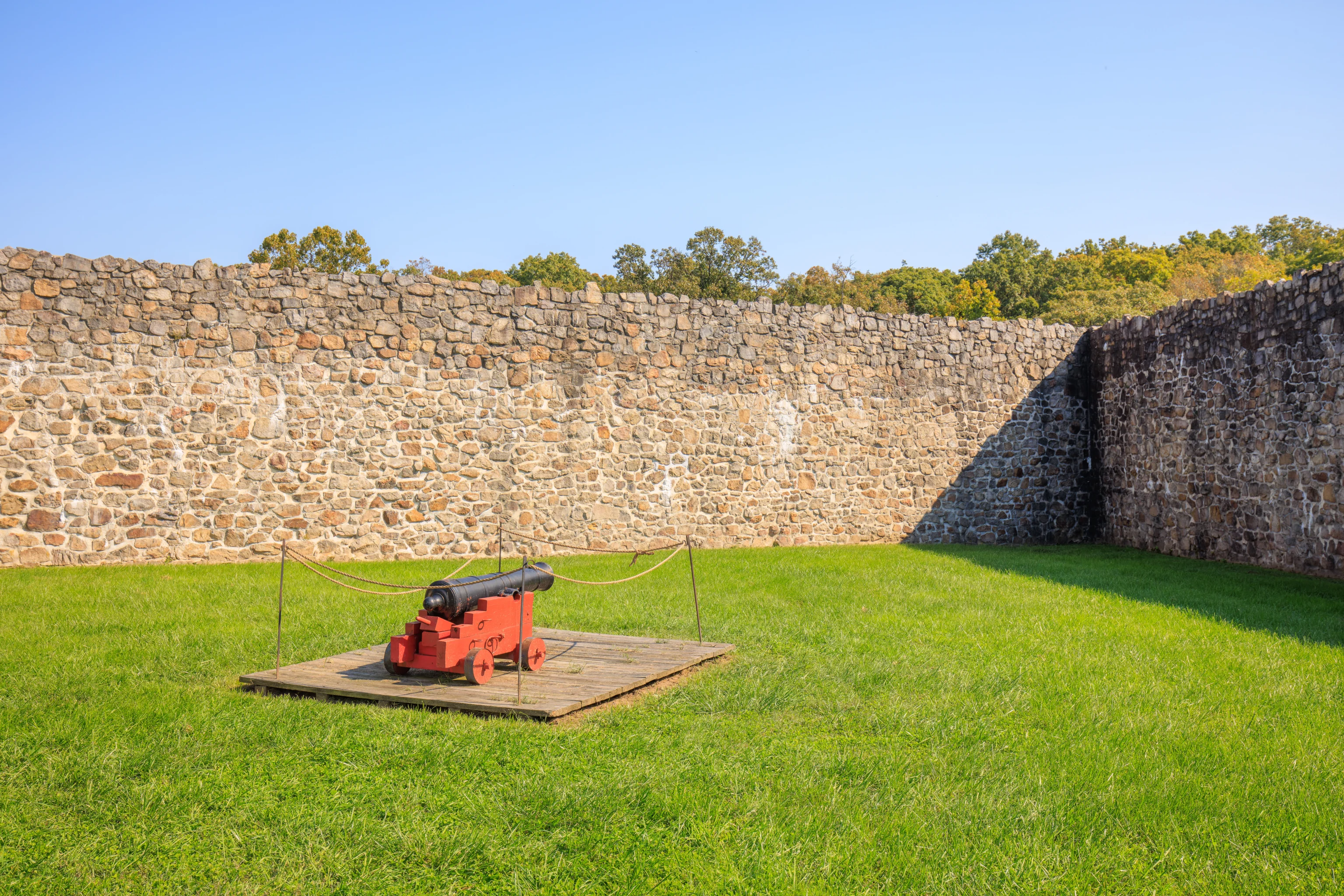
This small naval cannon demonstrates how the fort was armed during the French and Indian War. It was quite insignificant!
A ranger explained that this wasn’t an ideal location for the fort as what is now Cumberland would have been a better location. However, this was before the Mason and Dixon survey that established the Mason-Dixon Line, formalizing the border between Maryland and Pennsylvania. The Colony of Maryland didn’t want to build a fort and have it actually be in Pennsylvania! So, they built it here.
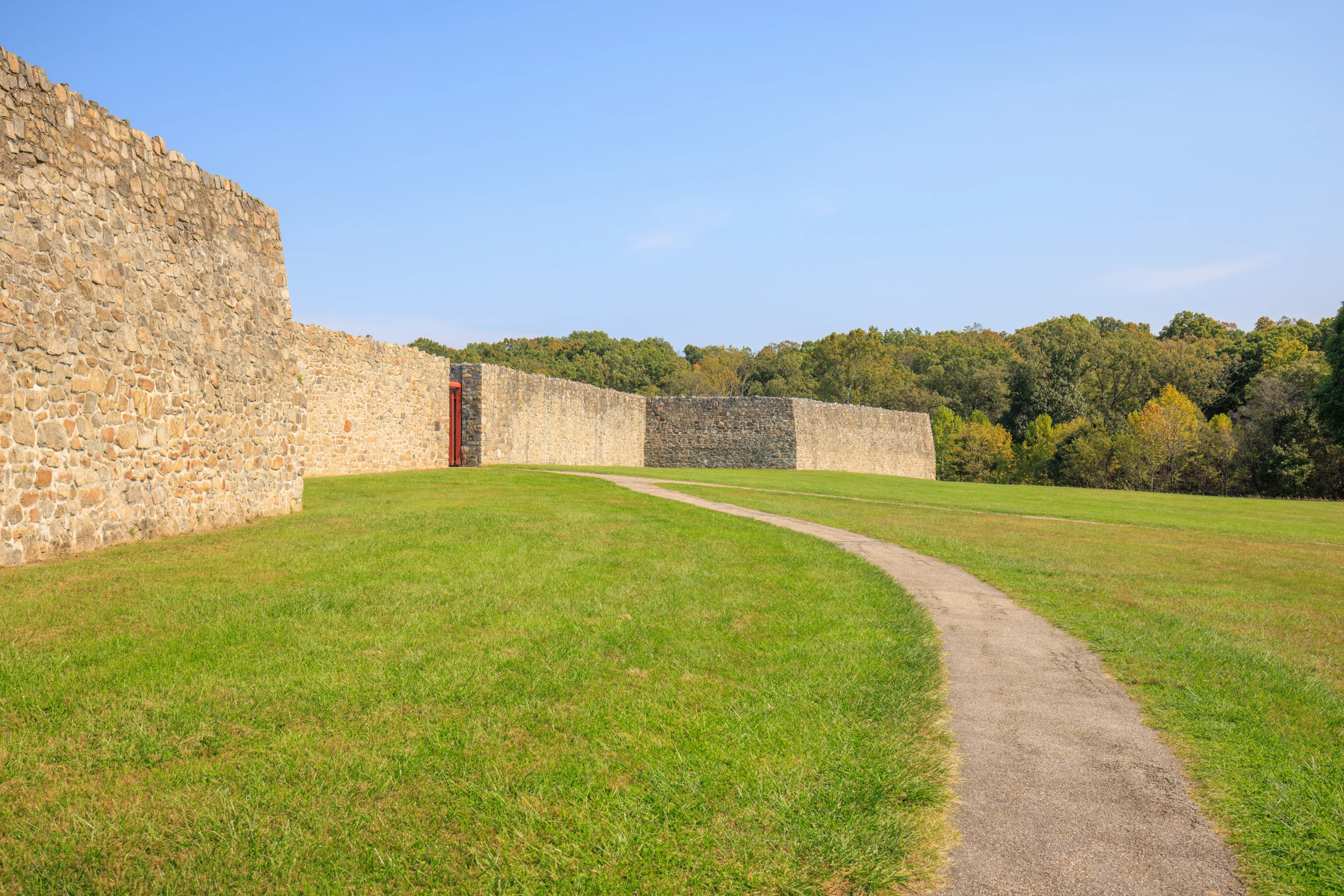
During historical times, there would have been dirt built up behind the wall to provide a firing position for both cannon and men.
Lunch
We left the fort at around 2:30pm and headed into Hagerstown for lunch. We ended up going to The Broad Axe in the city’s small downtown area.

The catfish nuggets were fantastic! They were well fried with excellent quality fish. The Old Bay was a nice Maryland touch as well.
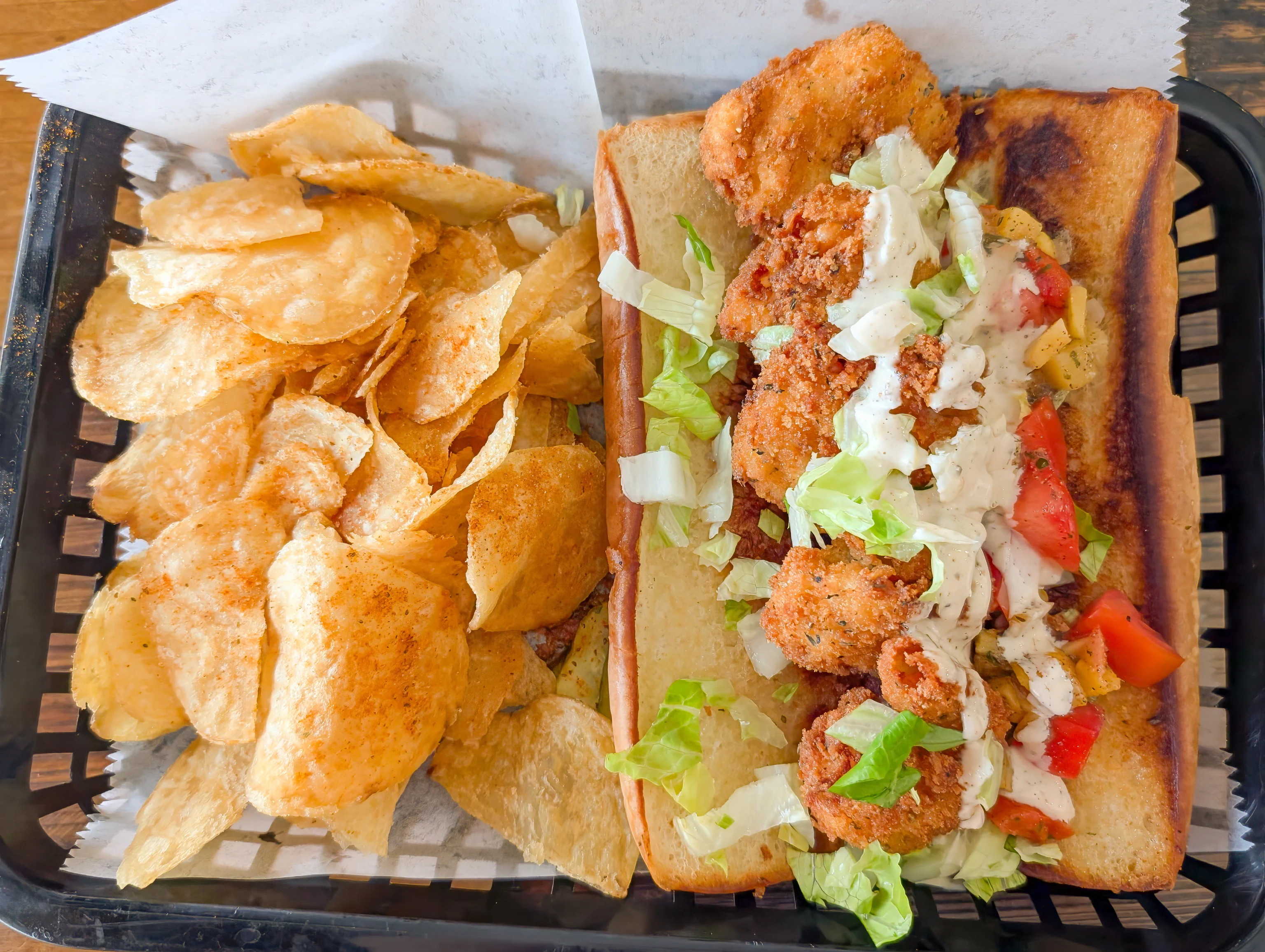
We also ordered a Shrimp Po’boy. It was good as well with nicely fried shrimp. The chips were also excellent, again with a bit of Old Bay.
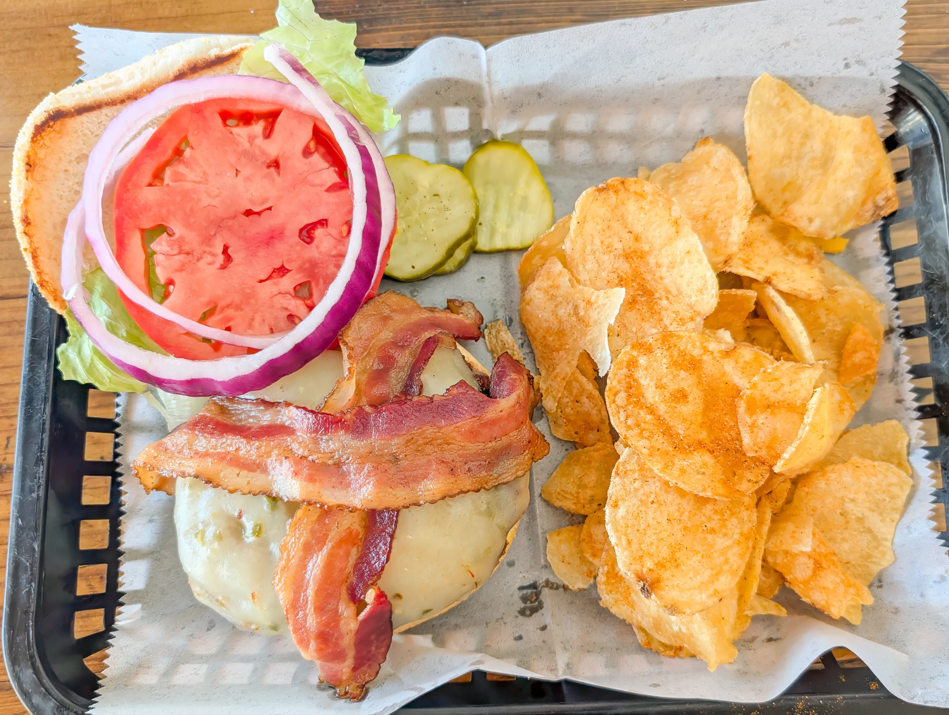
Although the bacon cheeseburger was good, it came out more like medium rather than the medium well that we wanted. Still, better than the majority of the burgers that we’ve had, though not nearly as good as Melt in Leesburg, VA.
Hagerstown Premium Outlets
After our late lunch, we went to the Hagerstown Premium Outlets. It has been many years since our last visit.
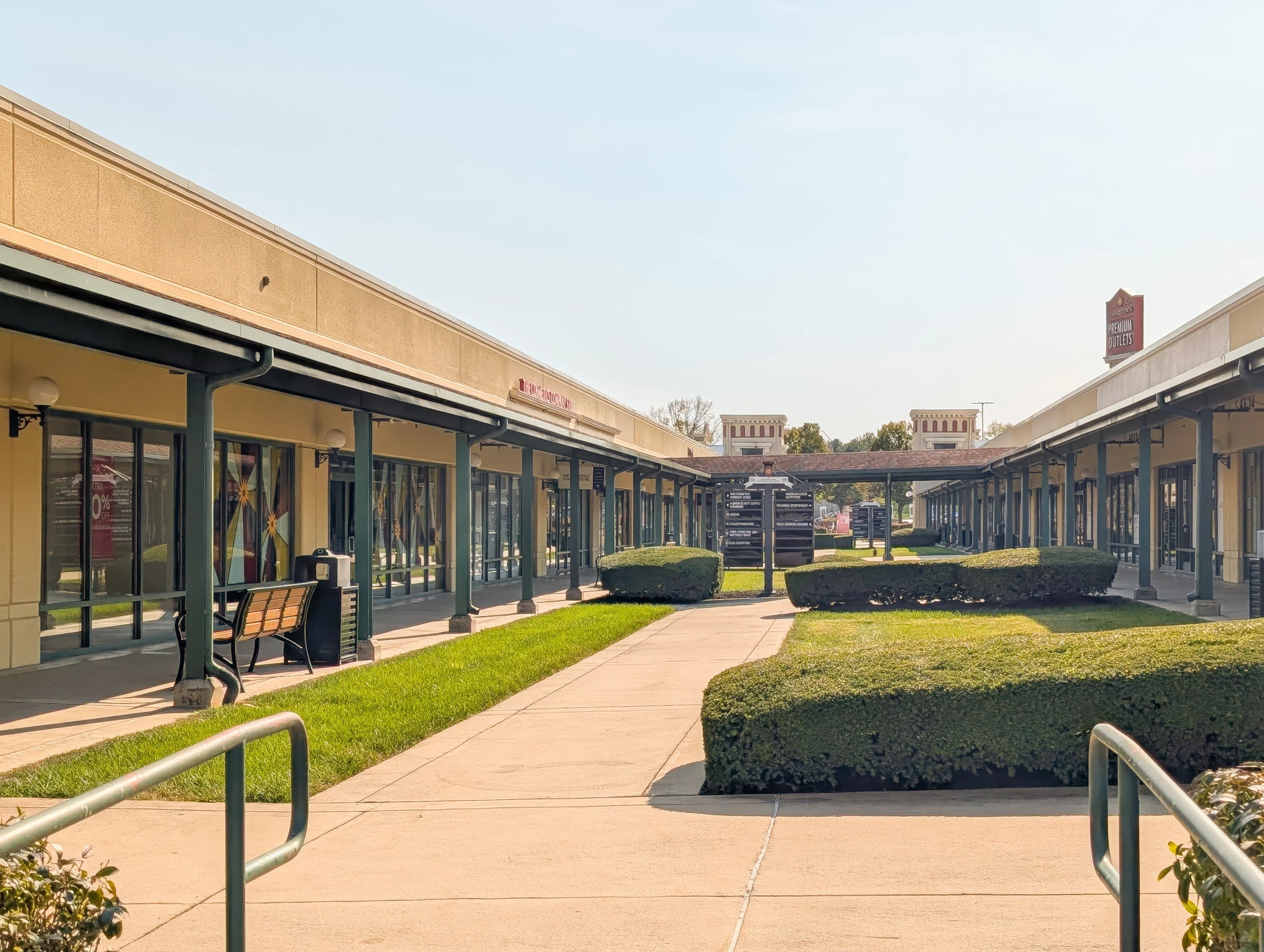
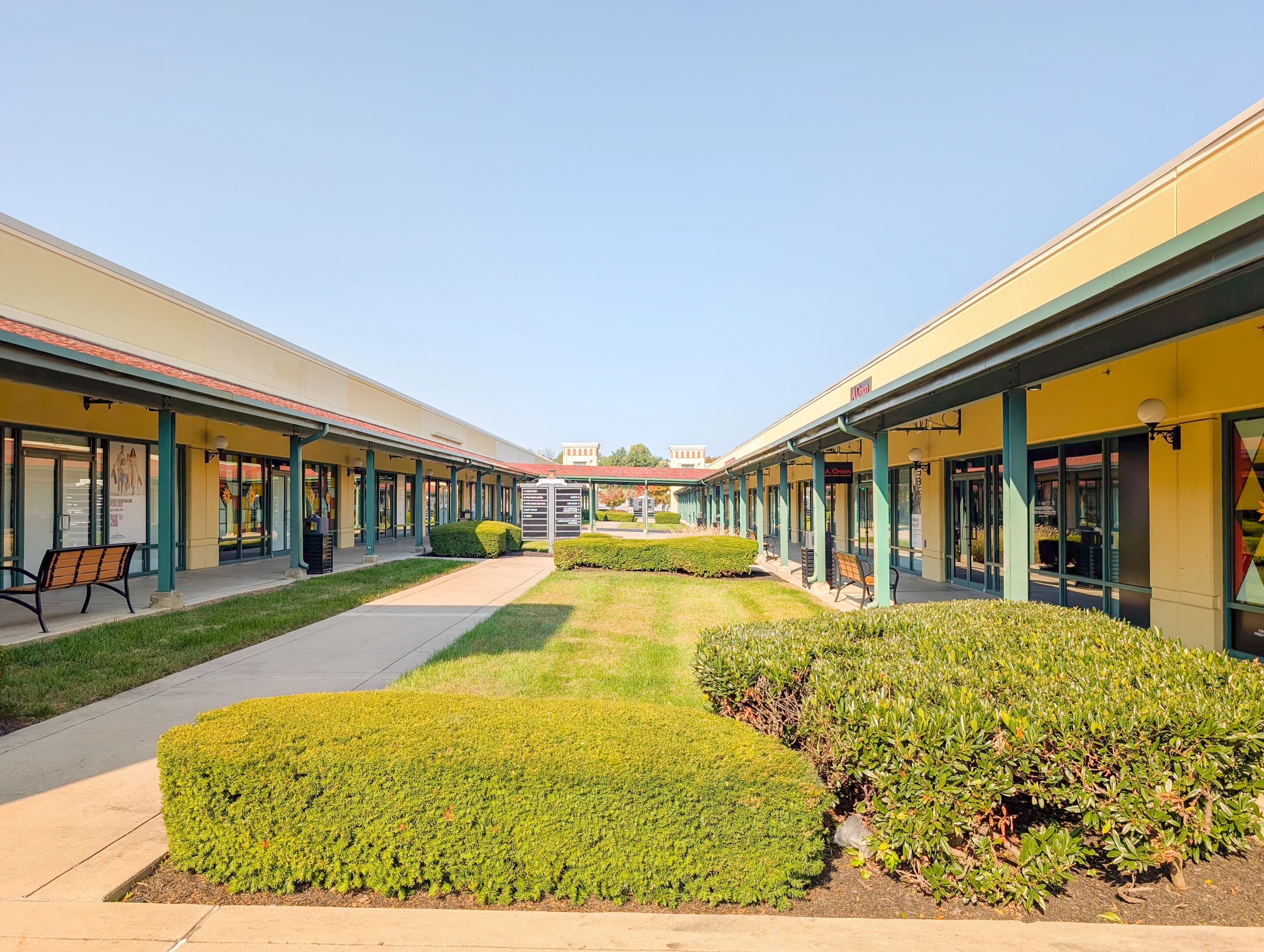
This outlet mall is not doing well. At least half of the shops are vacant. There were almost no customers. Very different from the Leesburg Premium Outlets and Clarksburg Premium Outlets, both of which are also operated by Simon and were busy on recent random weekends. Unless something changes, it seems likely that this mall will survive much longer.