
After our usual breakfast at the RYSE, we took the bus to the western end of Seoullo 7017. From there, we walked to the east to the Namdaemun Market where we had lunch. We then saw the actual Namdaemun and took a bus east to the Myeongdong Cathedral. We walked through Myeongdong a bit before visiting Seonyudo Park and returning to Hongdae for dinner.
Morning
After waking up at the RYSE, we went downstairs for the morning breakfast buffet. The selections have mostly been the same during our stay, other than some daily minor changes.
Seoullo 7017
We took a bus east after rush hour to the Songijeong Sports Park stop, a few hundred feet west of Seoul Station. This bus stop is right at the western entrance to 서울로 Seoullo 7017, a linear park on a former elevated roadway that passed over the train tracks. The park’s Wikipedia page explains the name coming from 1970, the year the road was originally opened, and 2017, the year the park was opened. There are also 17 entrances to the park.
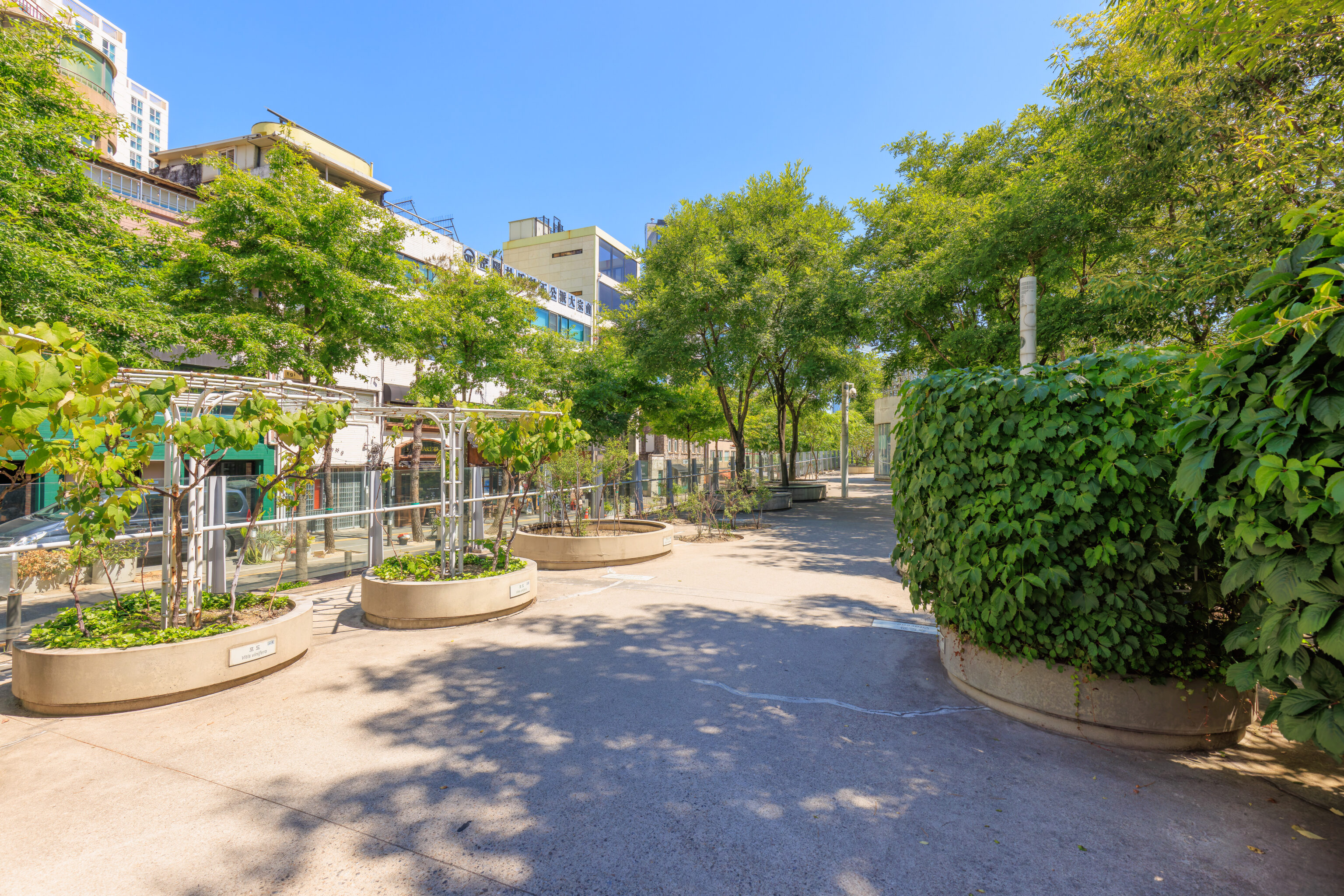
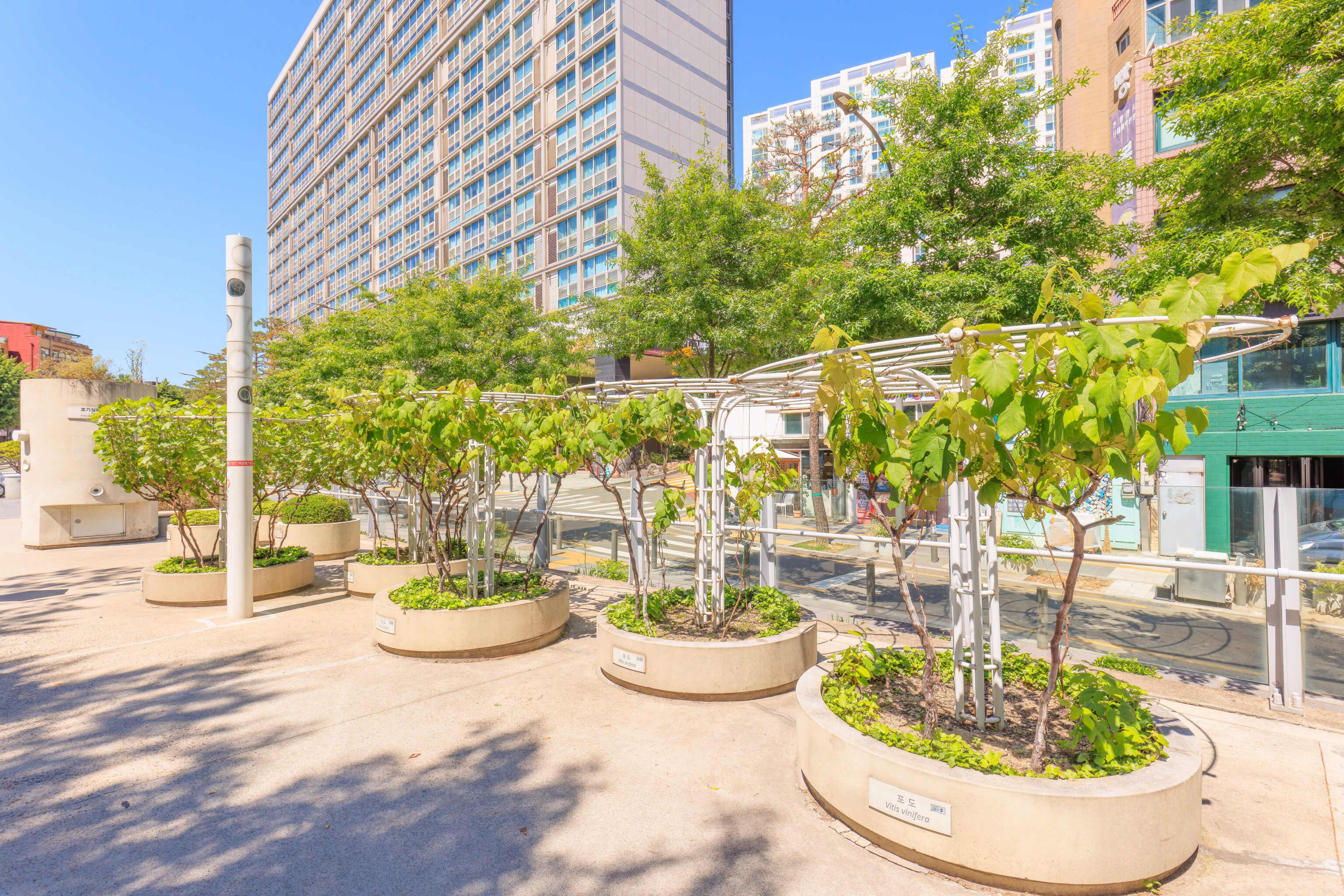
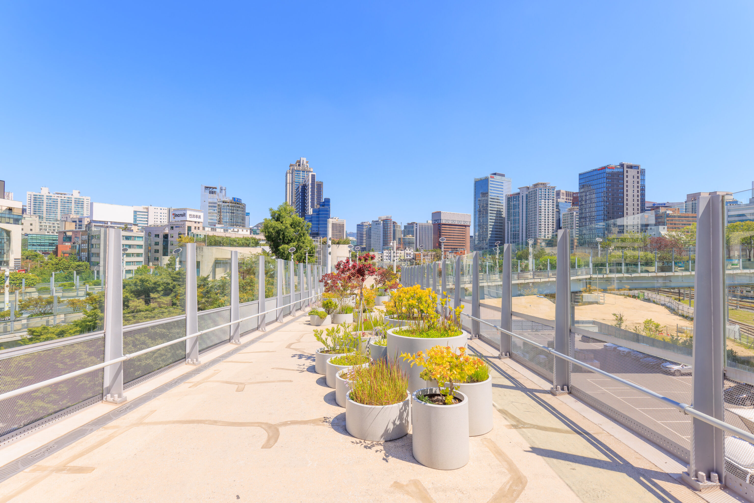
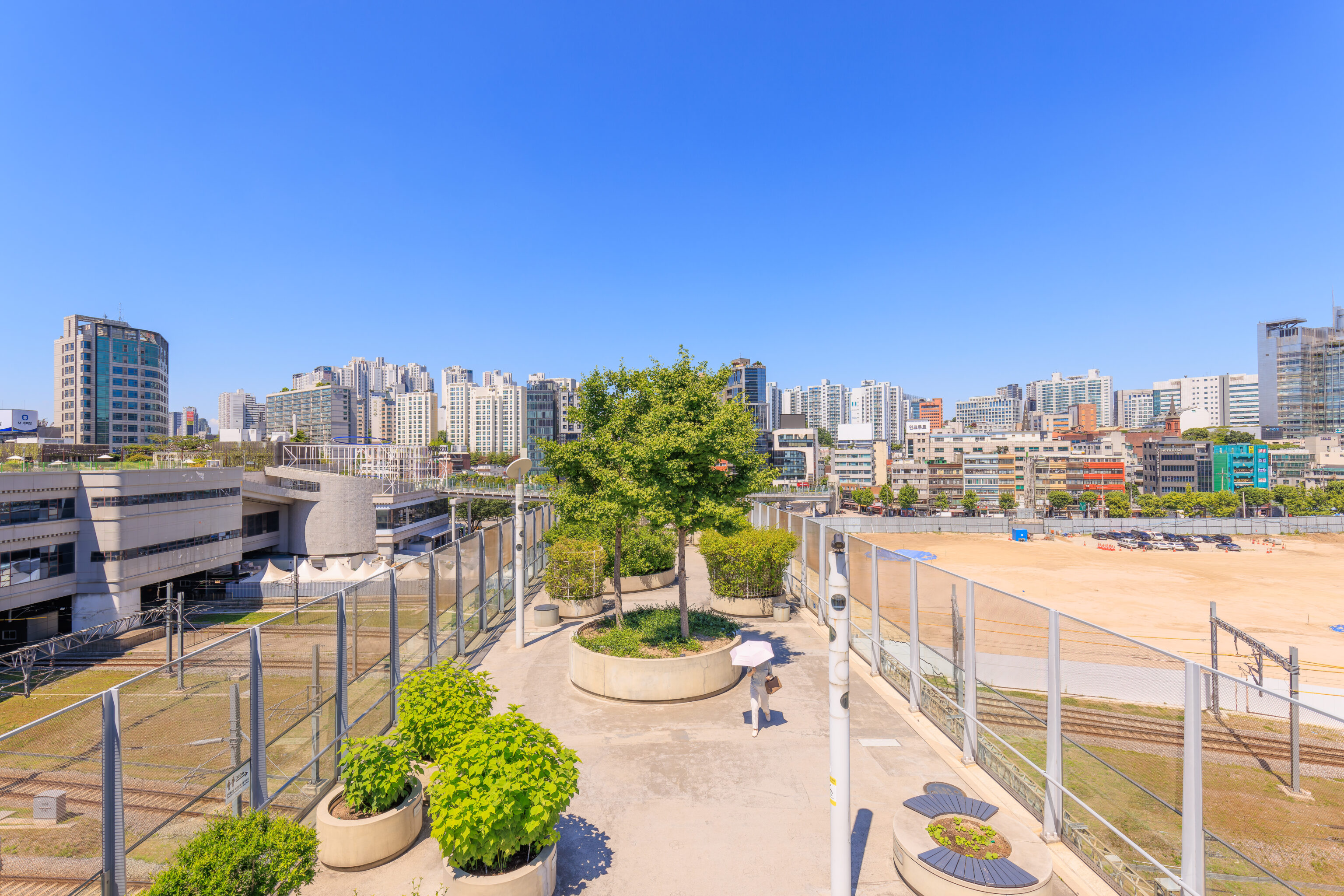
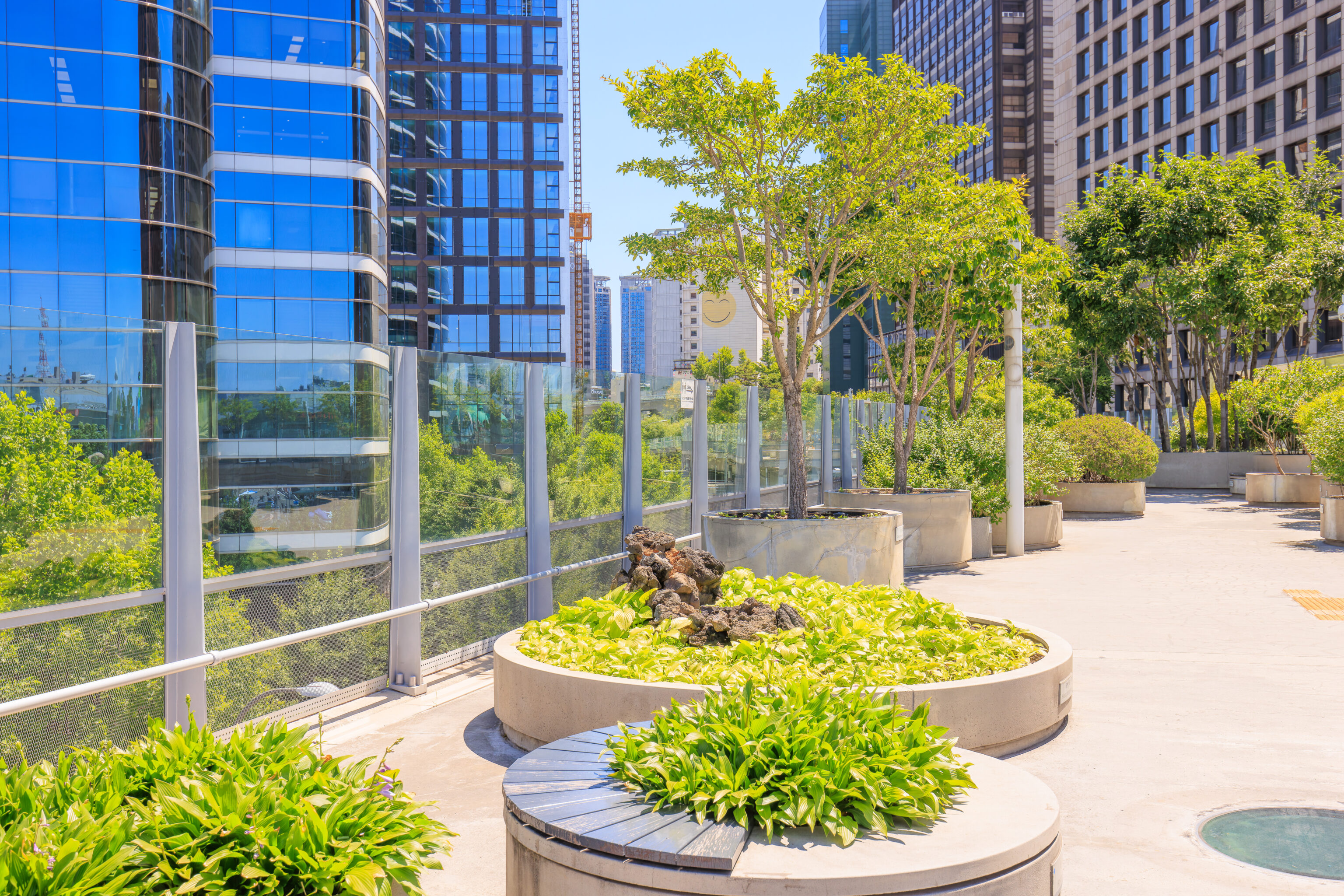
The park begins at ground level and slowly ascends to the northeast. The surface is concrete but there are also plenty of plants in large circular concrete planters,
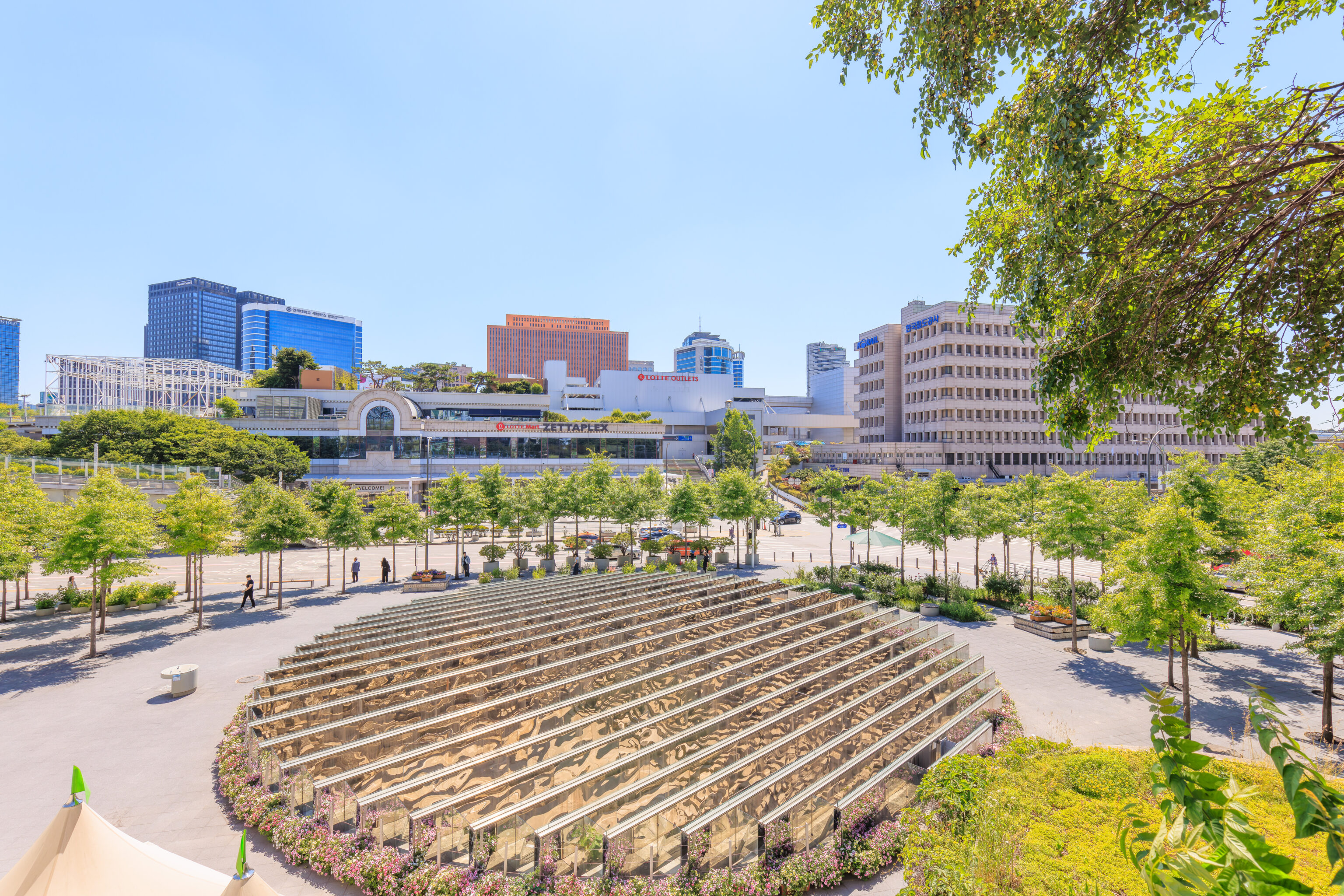
This large art installation below is 윤슬: 서울을 비추는 만리동 Yoonseul : Mallidong Reflects Seoul. We only saw it from above ground but there is apparently a space underneath!
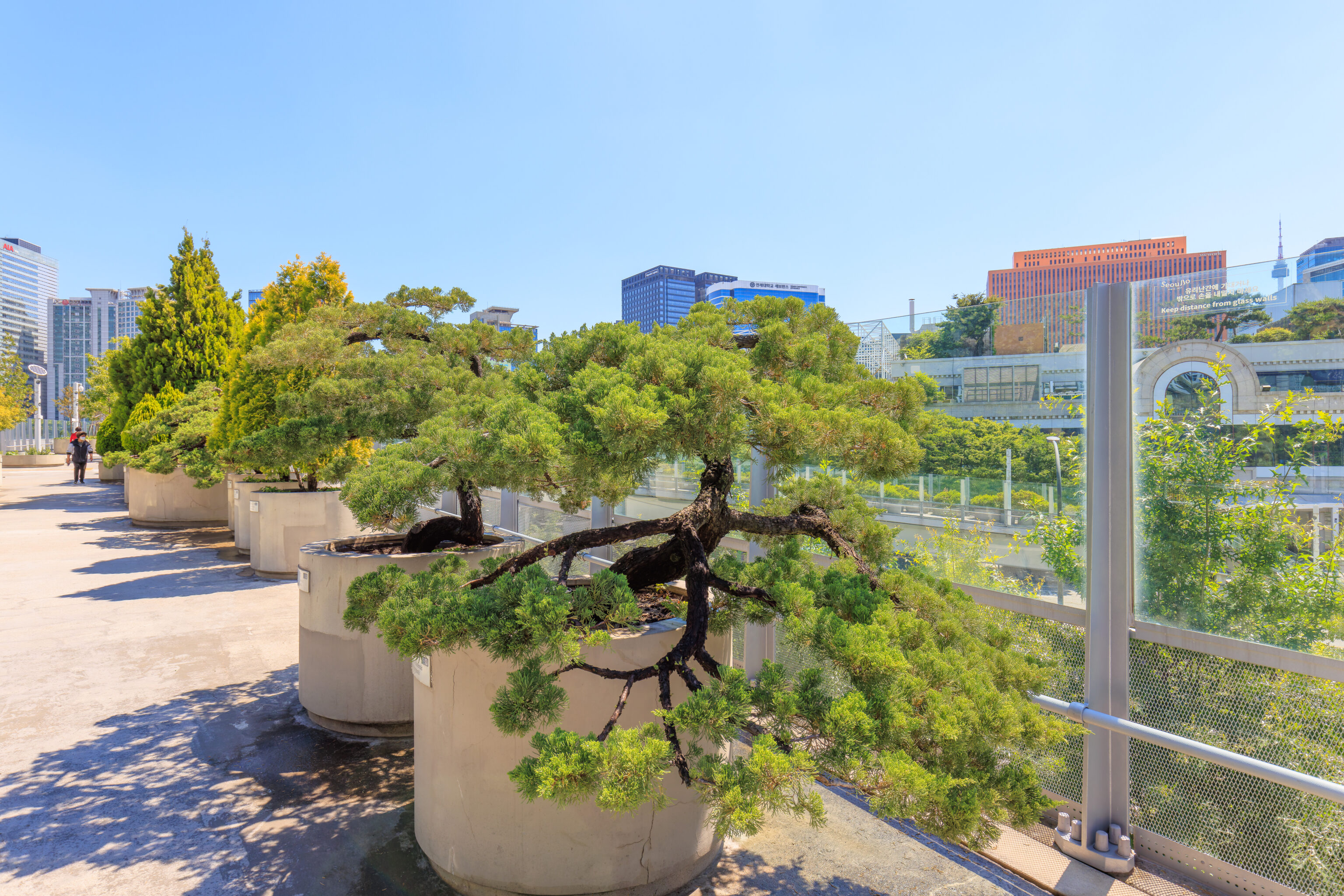
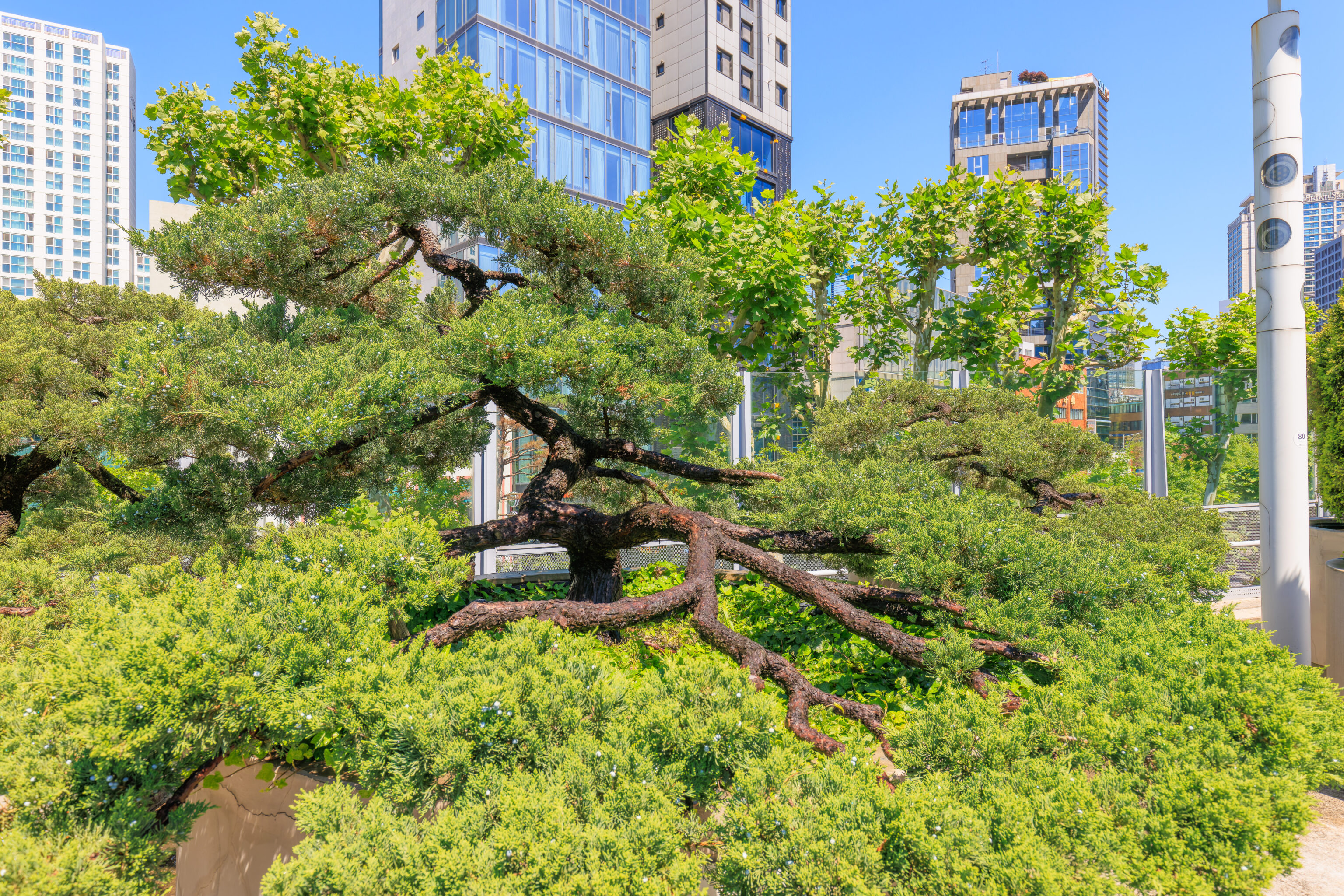
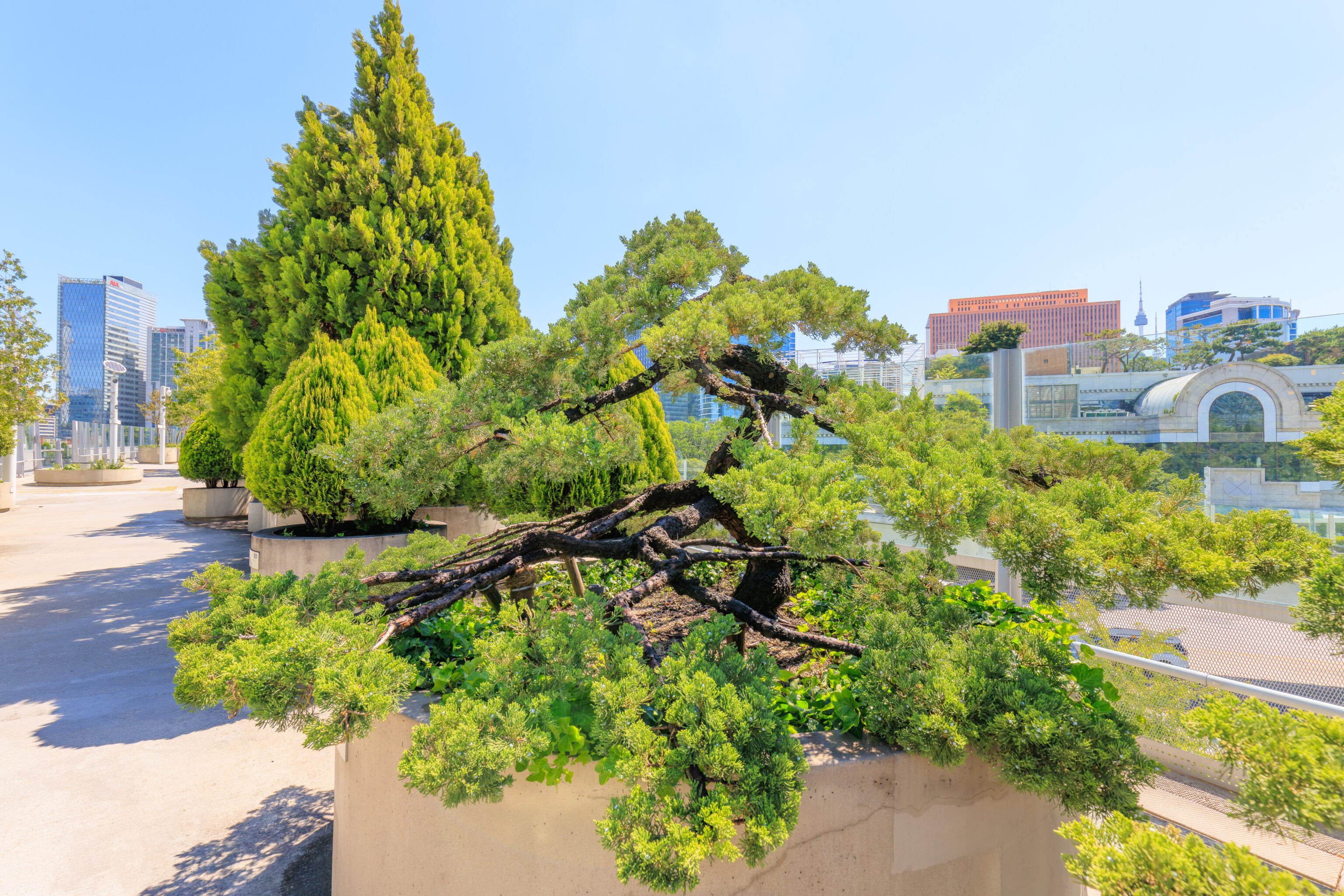
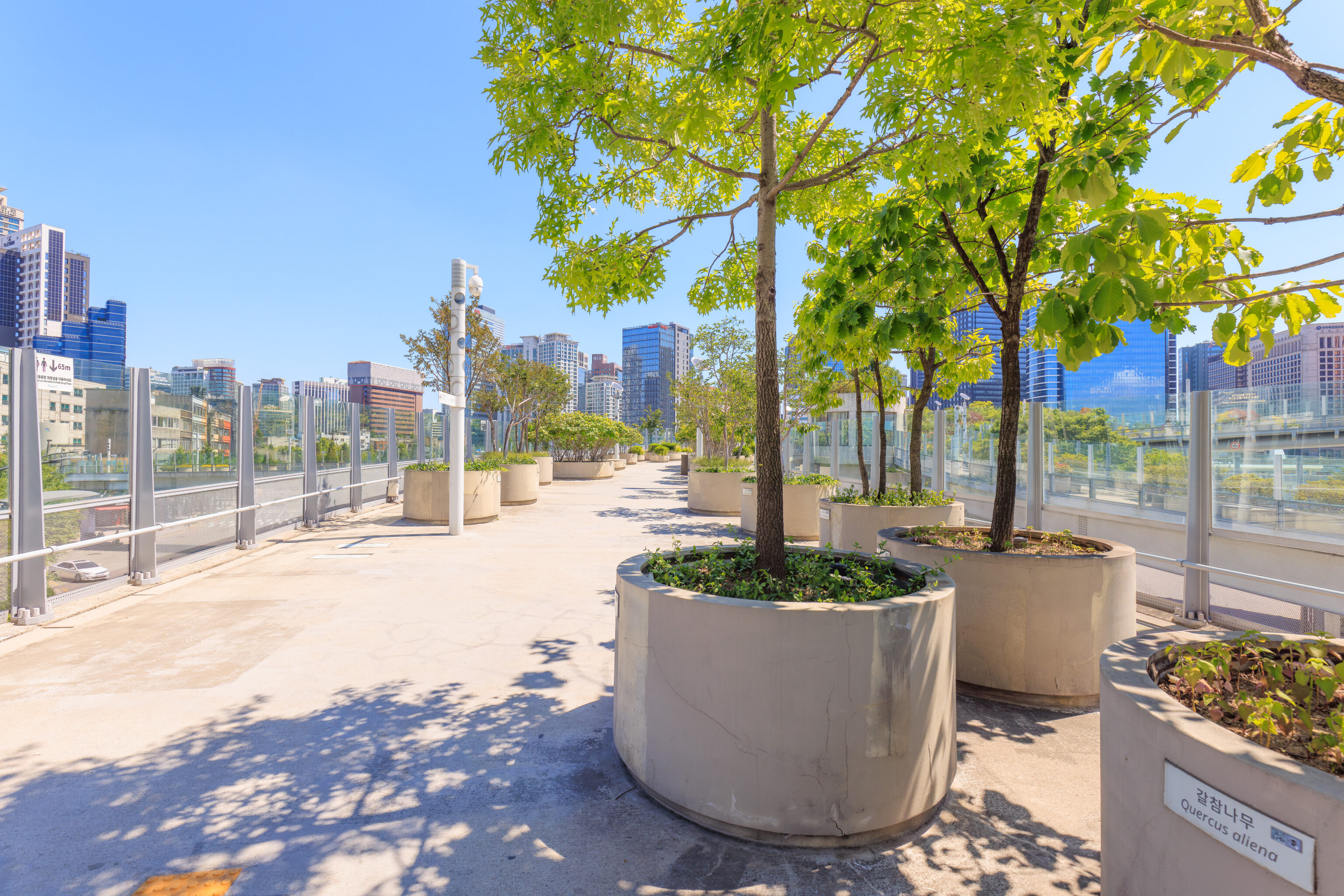
We continued walking to the northeast through the park. There was a variety of trees in various planters which were labeled with the plant species. We also occasionally saw the N서울타워 N Seoul Tower which is to the east from here.
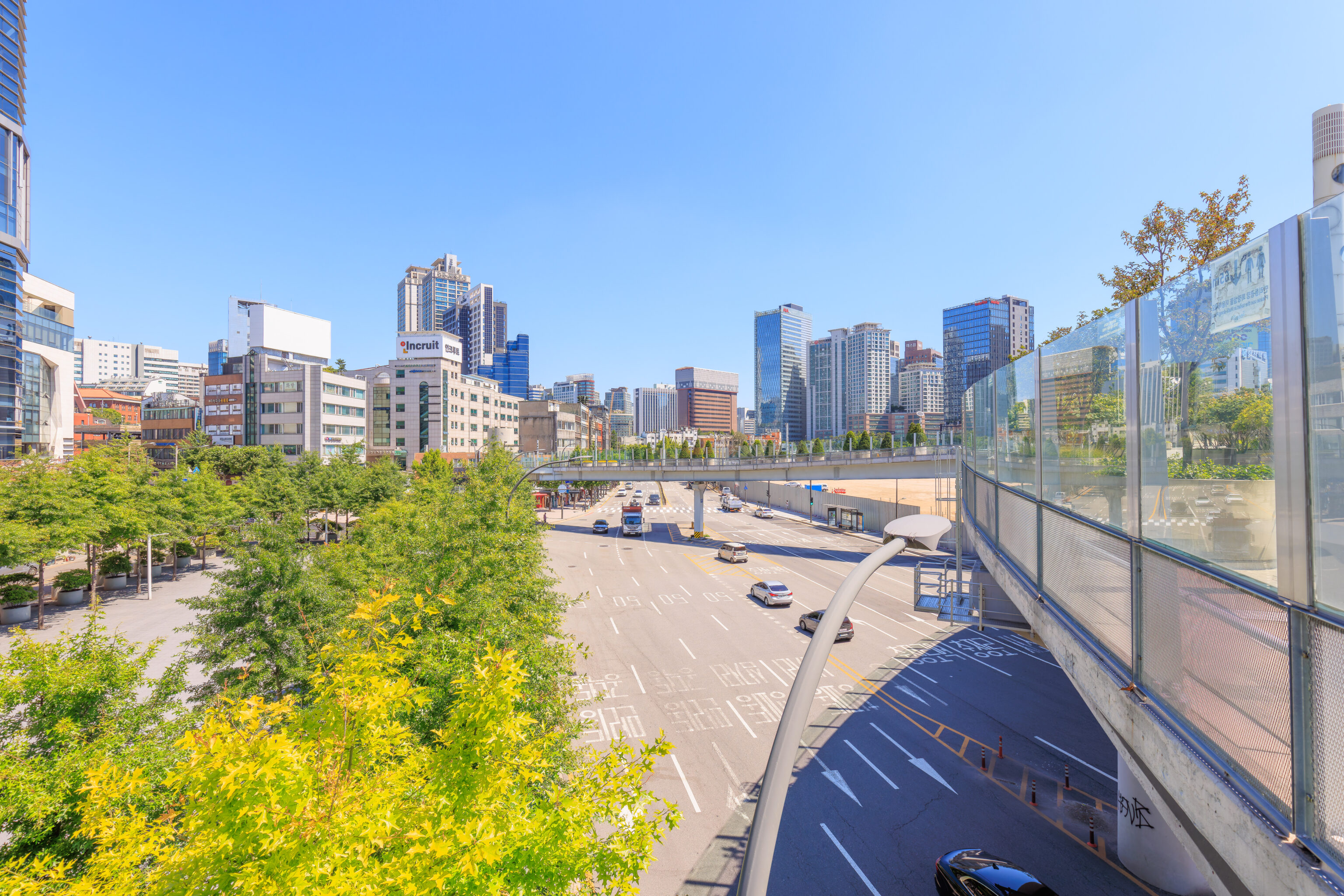
The park passed over a 10 lane road on the west side of Seoul Station.
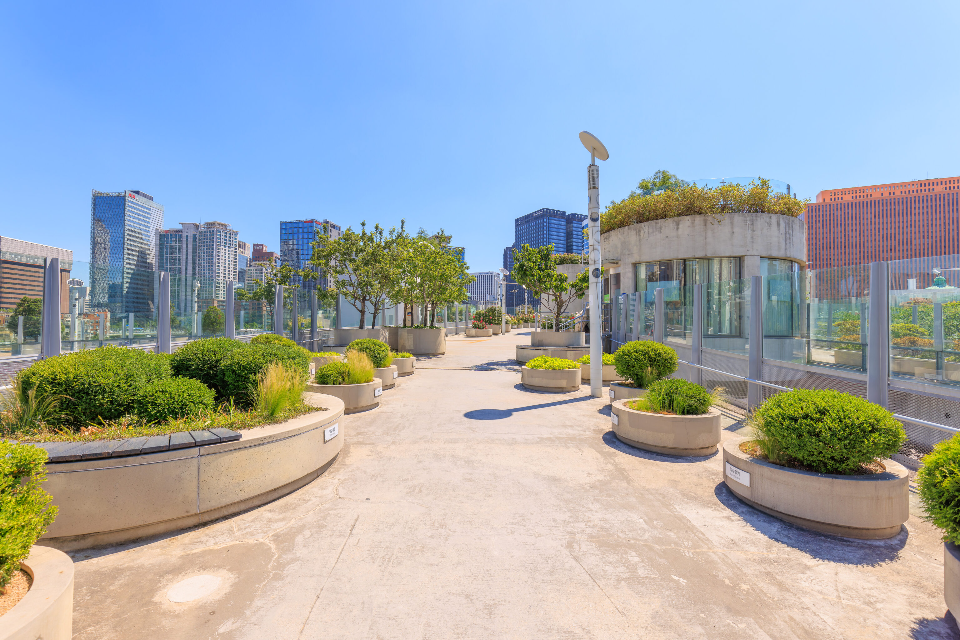
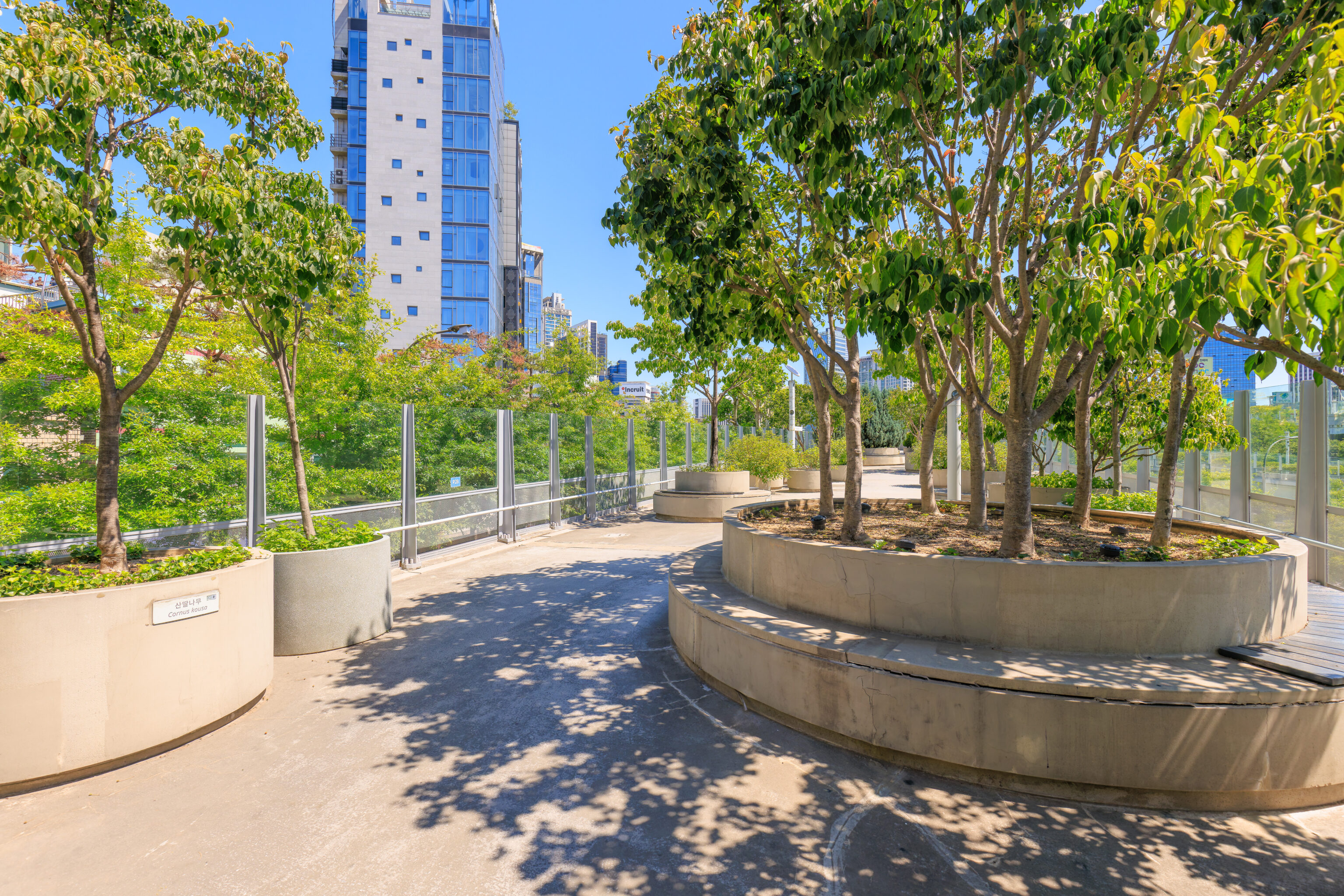
The park has a few small buildings like the one we see here on the right. The upper part is an elevated garden.
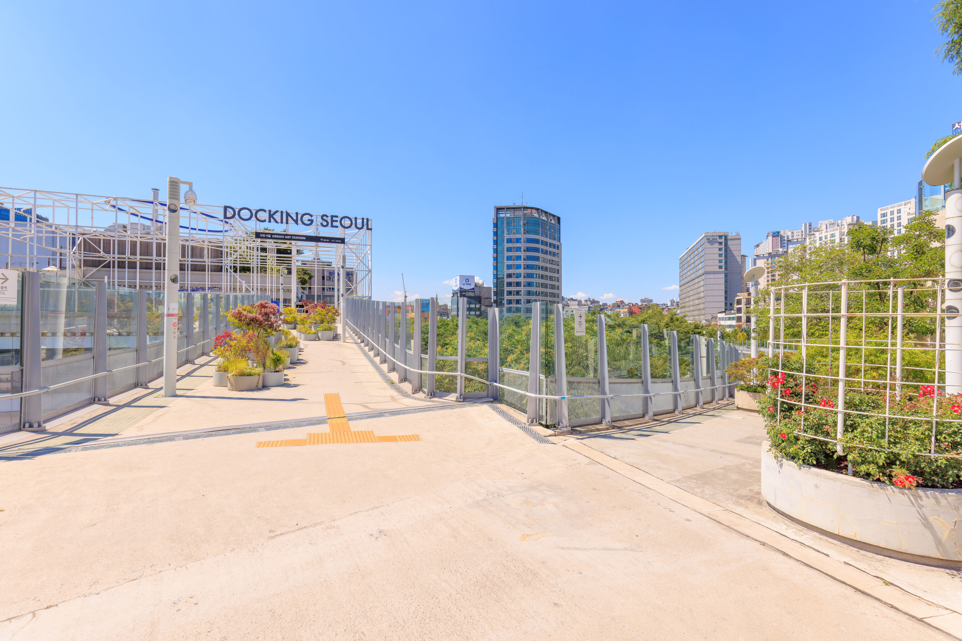
We reached a junction at the west side of Seoul Station. Three ramps merge together while there is a spur that goes to 도킹 서울 Docking Seoul, an art museum that is in a former circular vehicular ramp.
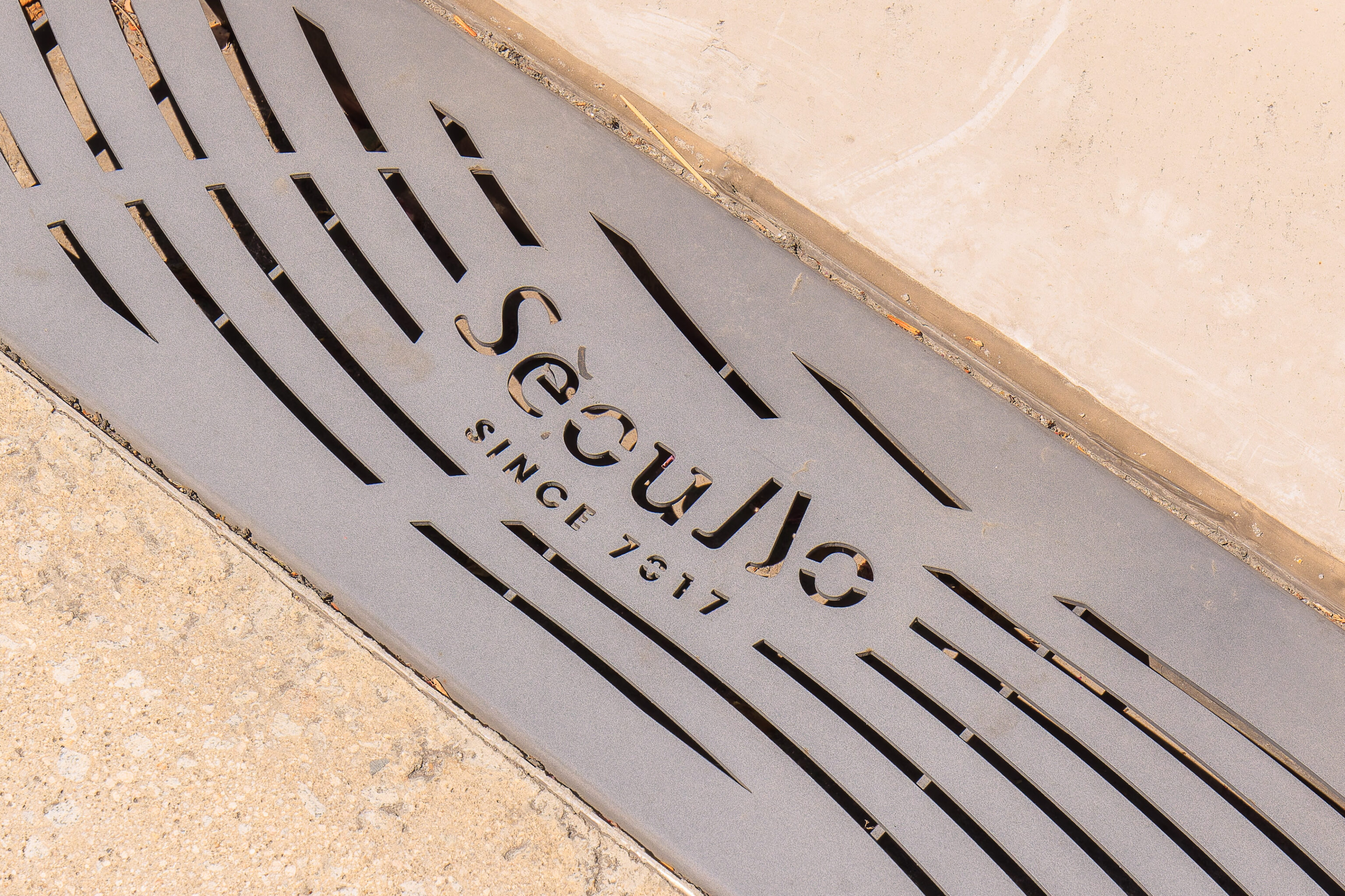
The since 7017 text on this Seoullo grate doesn’t make much sense but also does in terms of 1970 and 2017. The font is a bit creative as the two L’s look like legs with feet.
The spur leading to Docking Seoul was pretty narrow compared to the rest of the park.
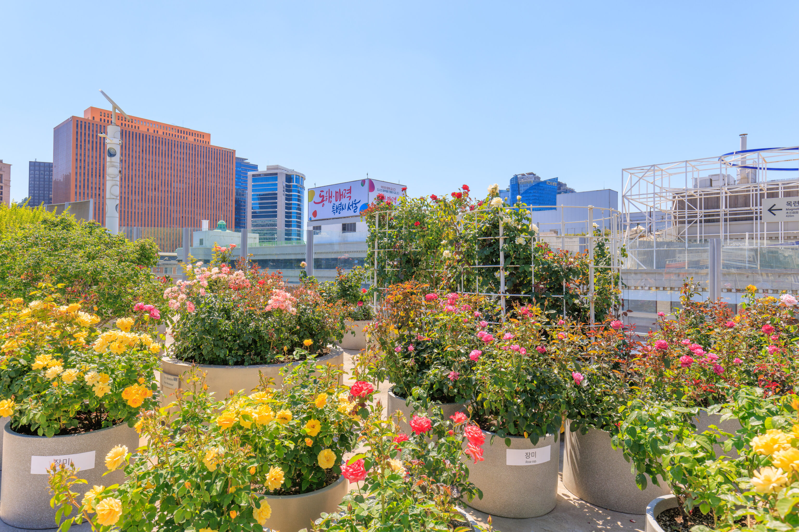
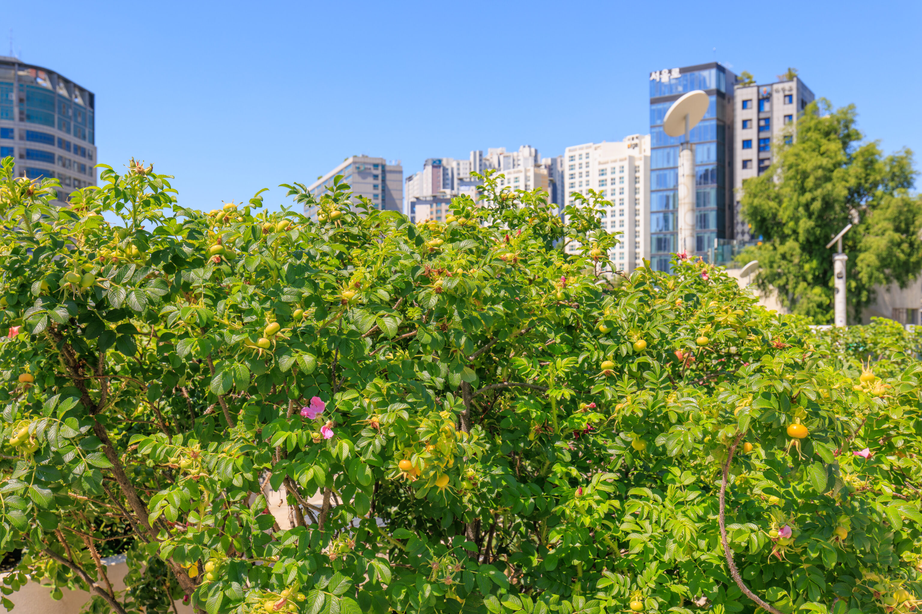
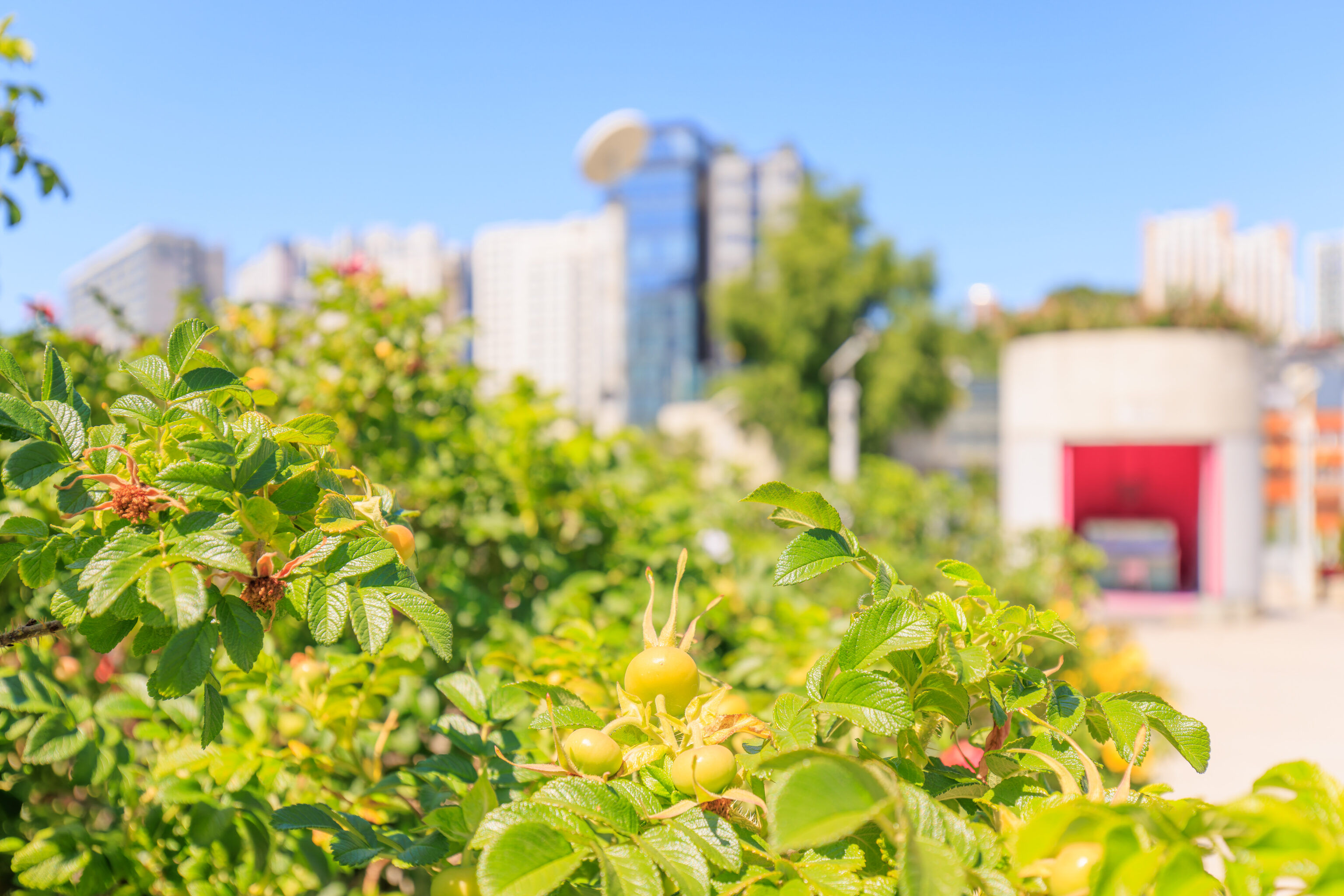
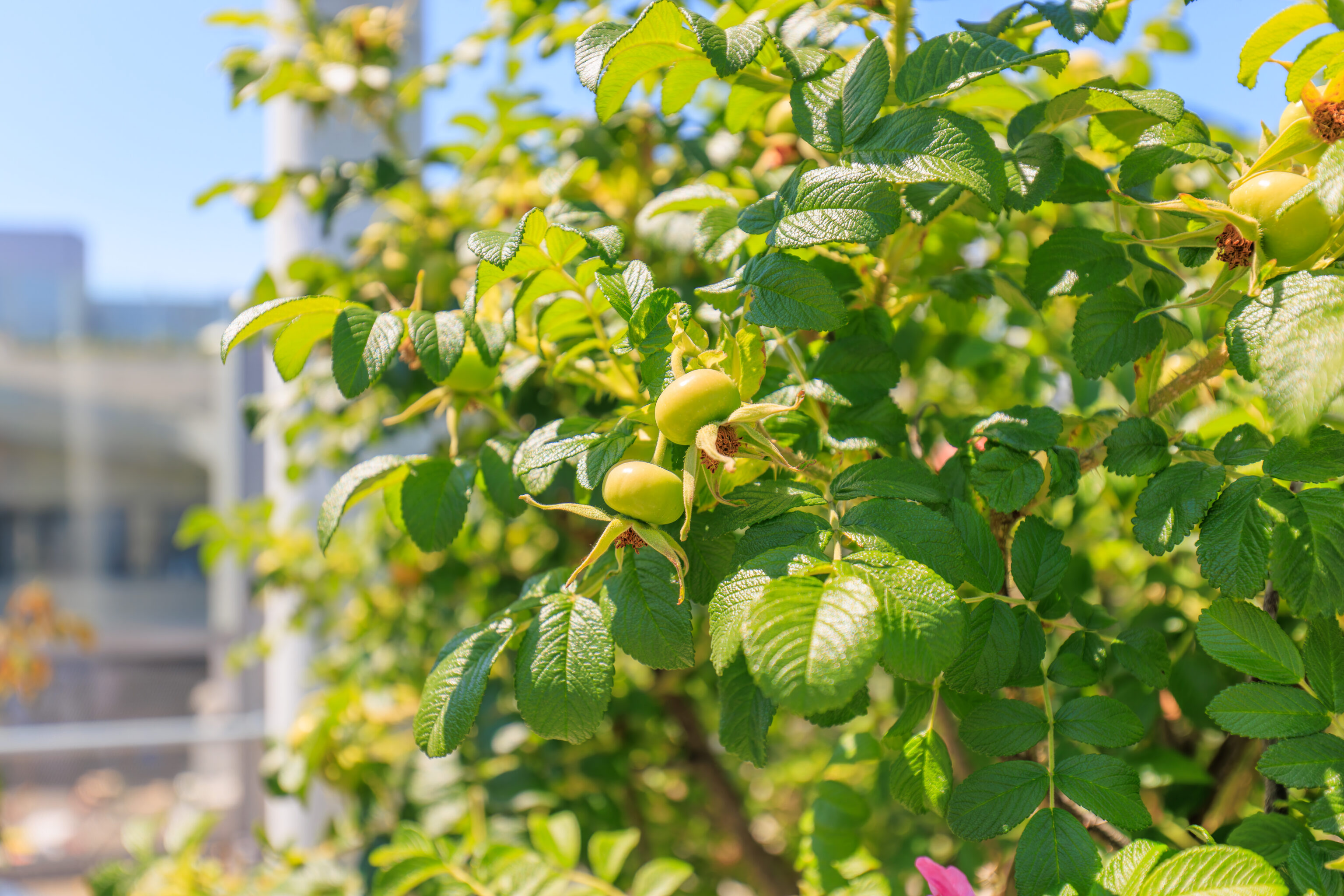
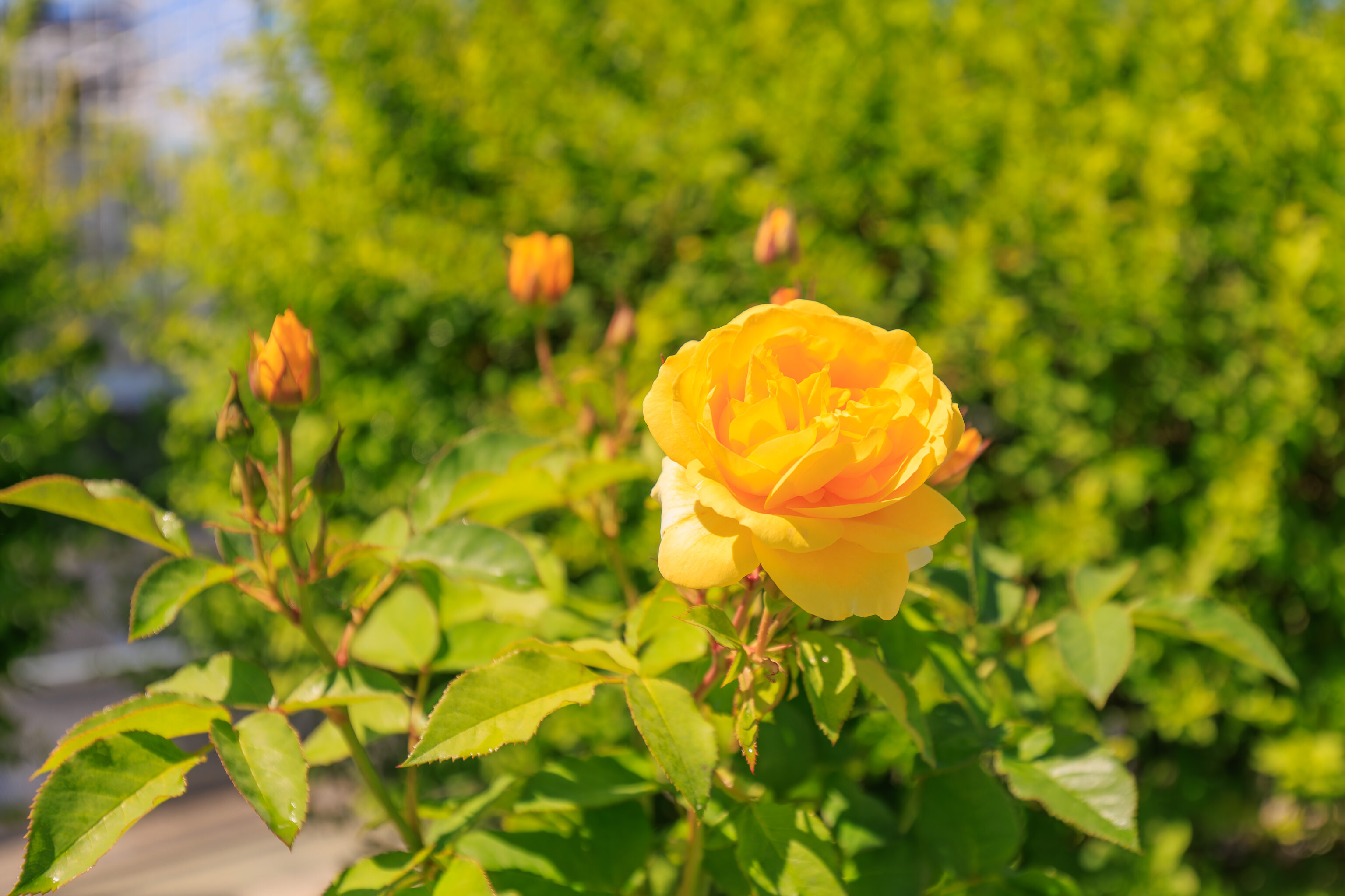
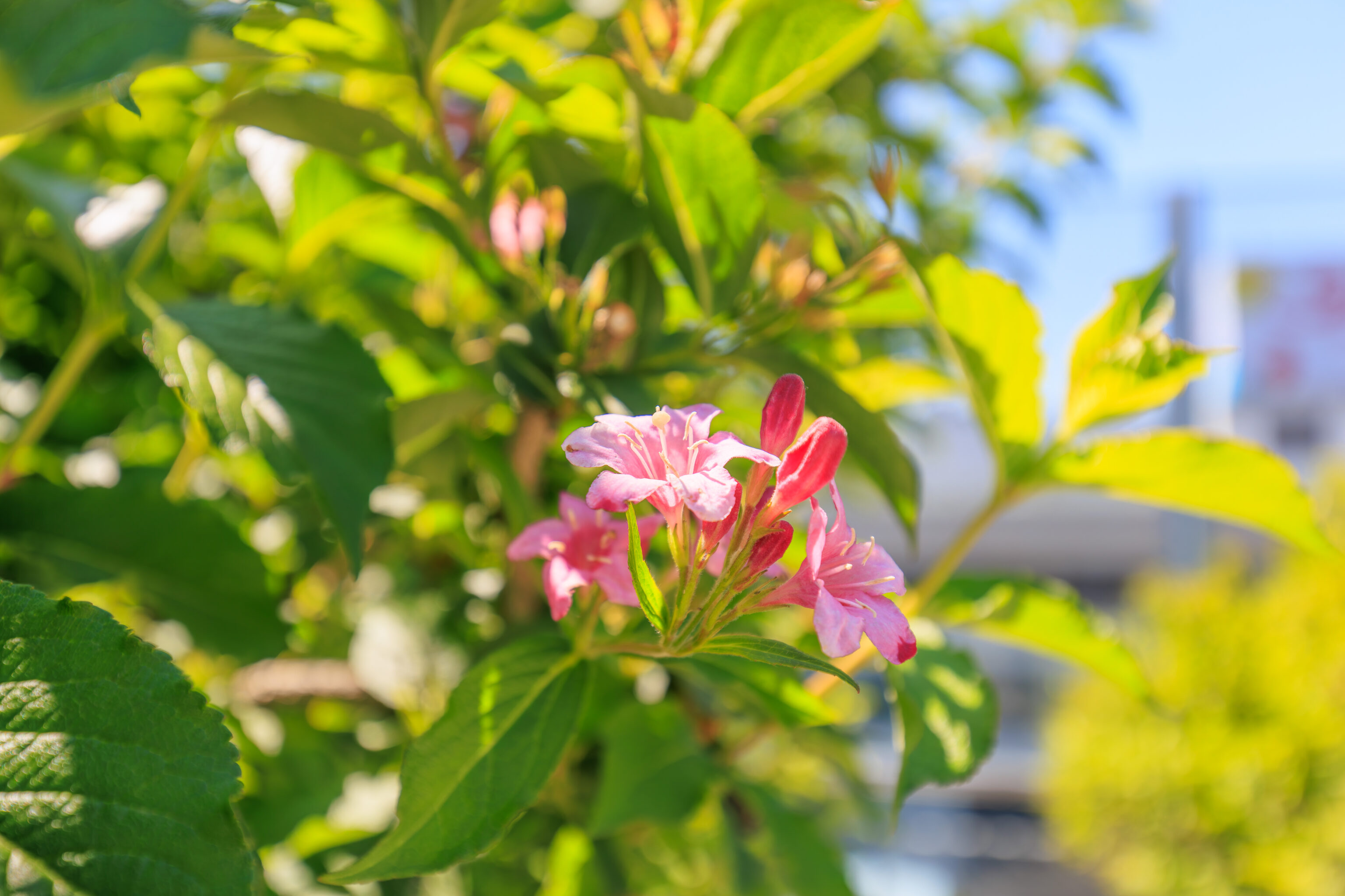
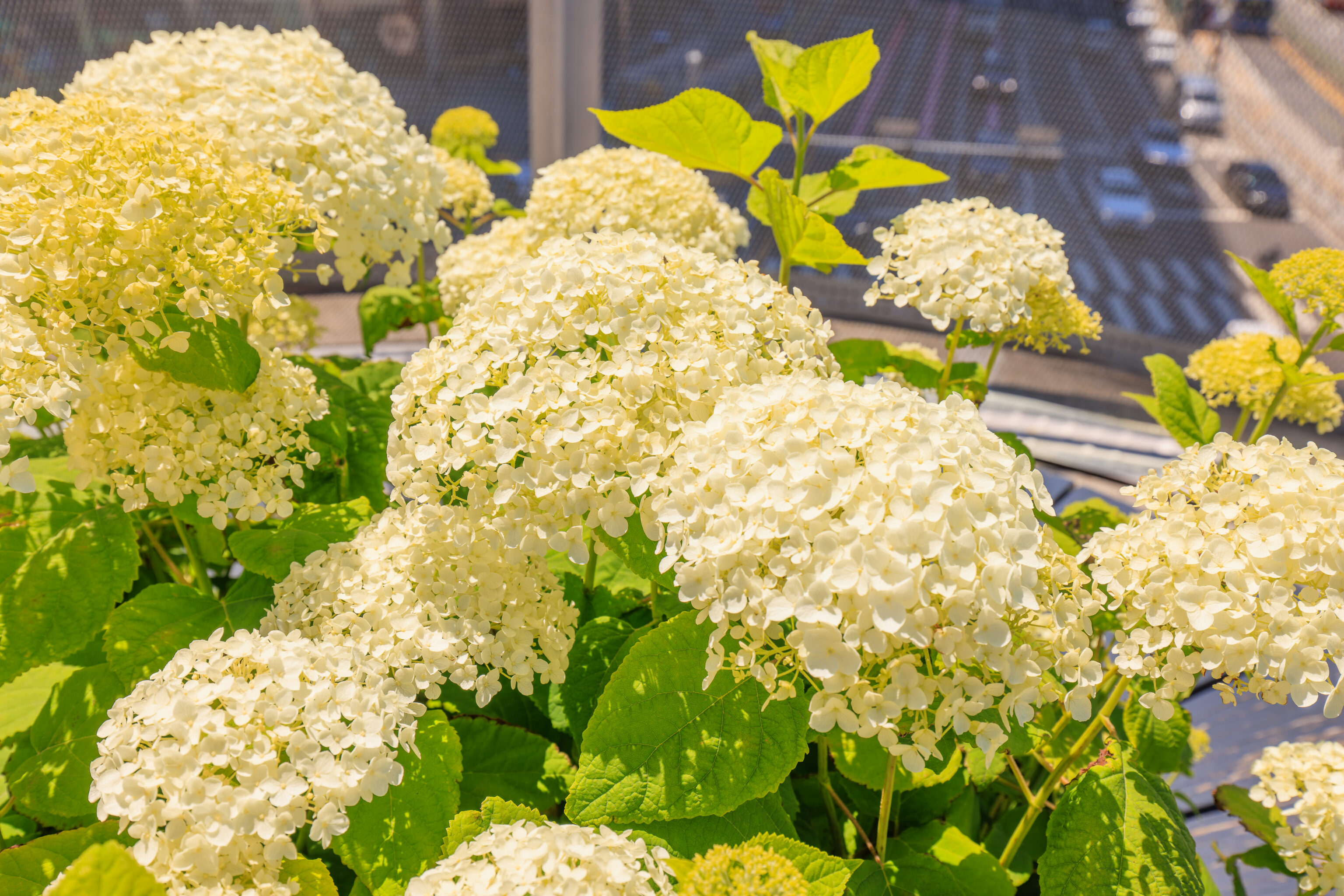
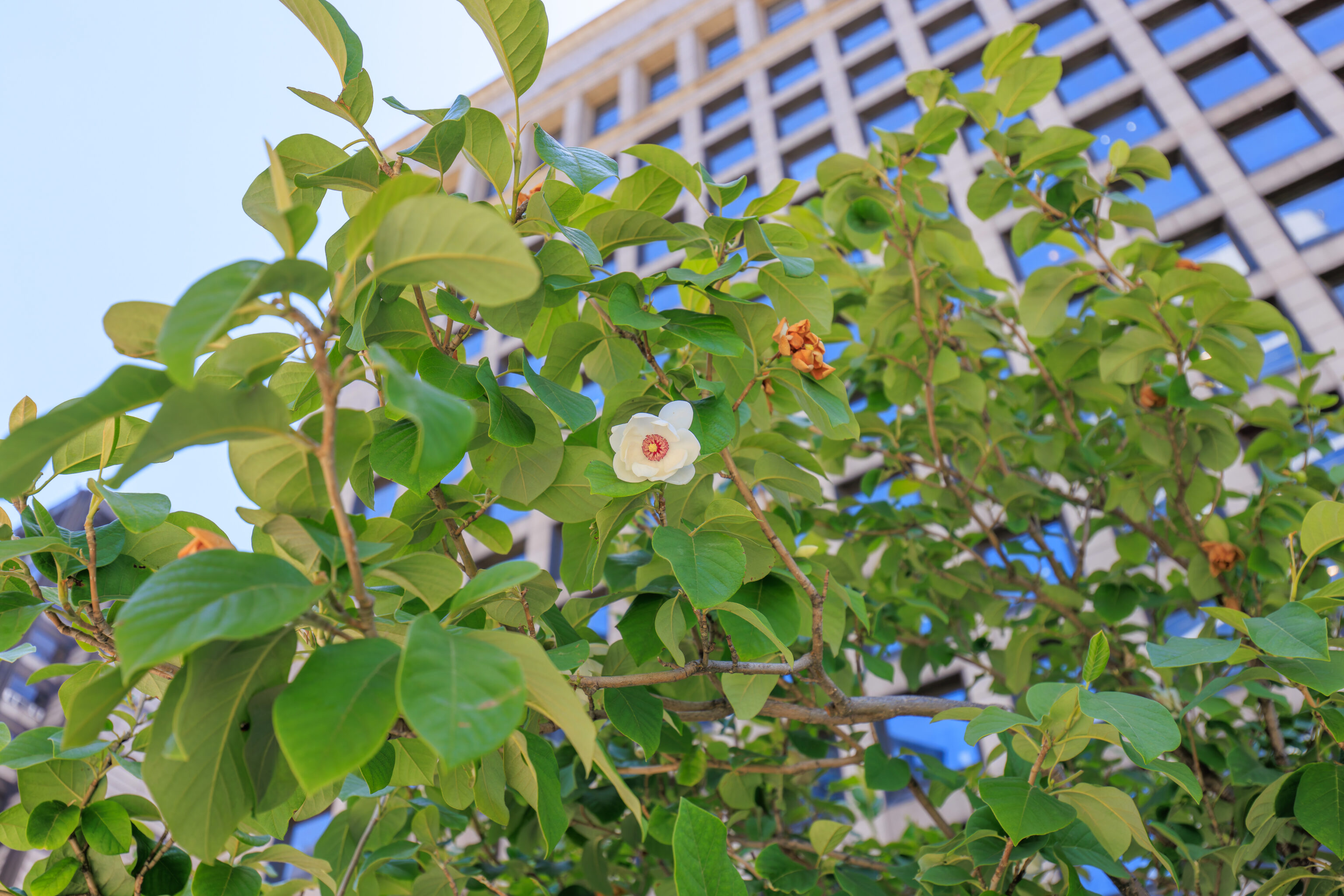
We returned to the main path and continued walking to the east. We saw some flowers as well as some plants with some sort of tomato-like fruit.
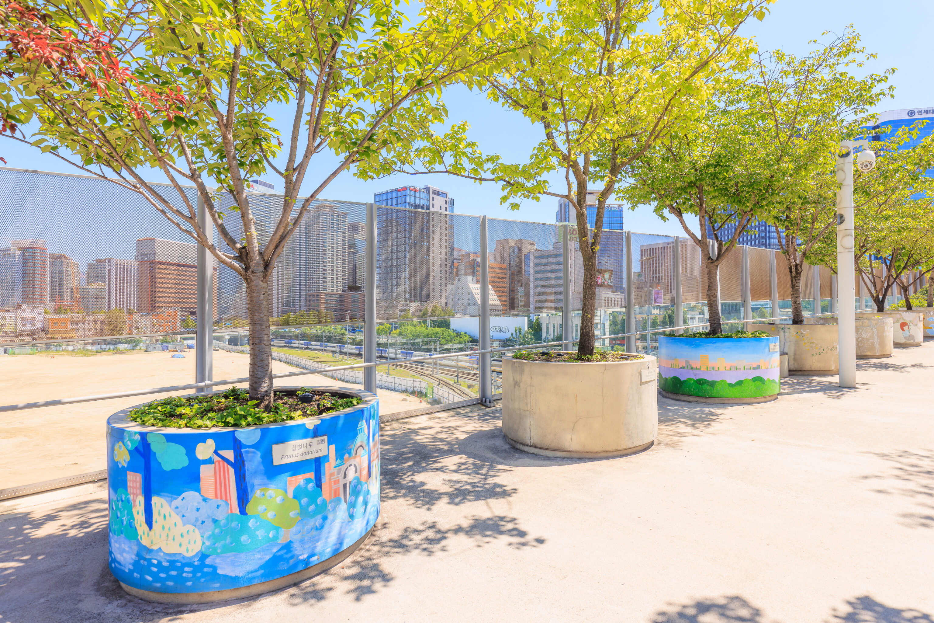
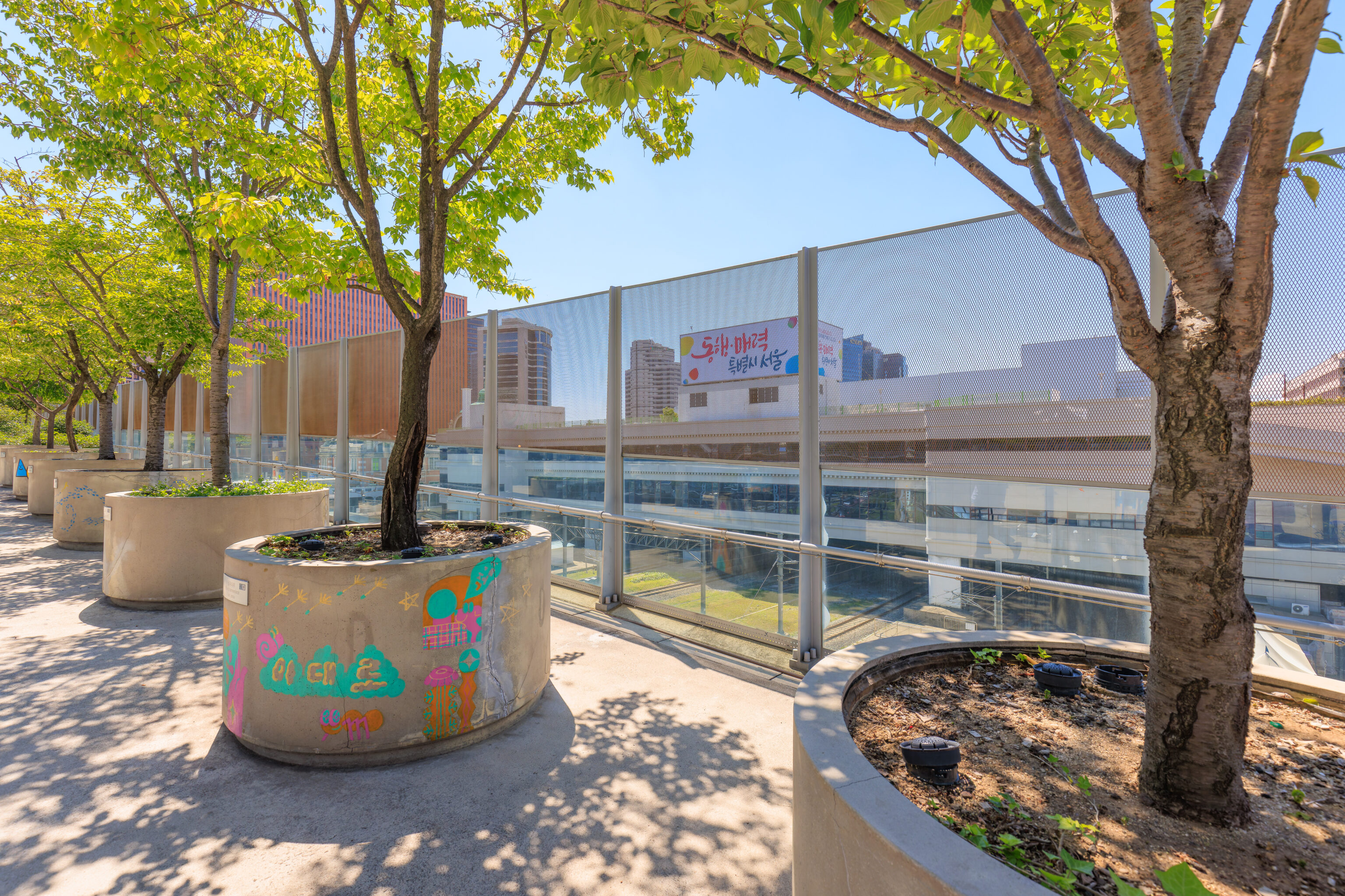
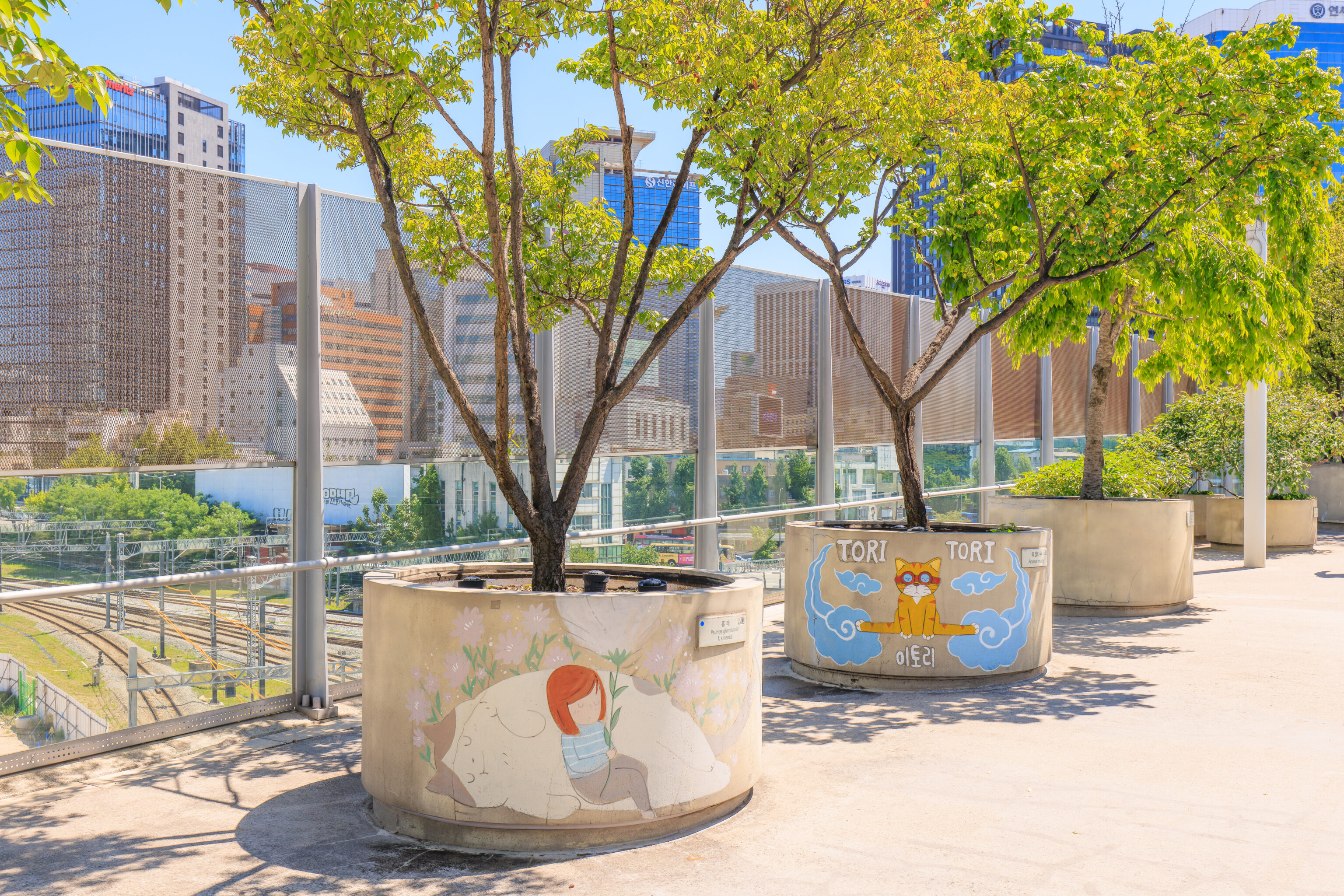
We came upon some planters which were decorated with artwork.
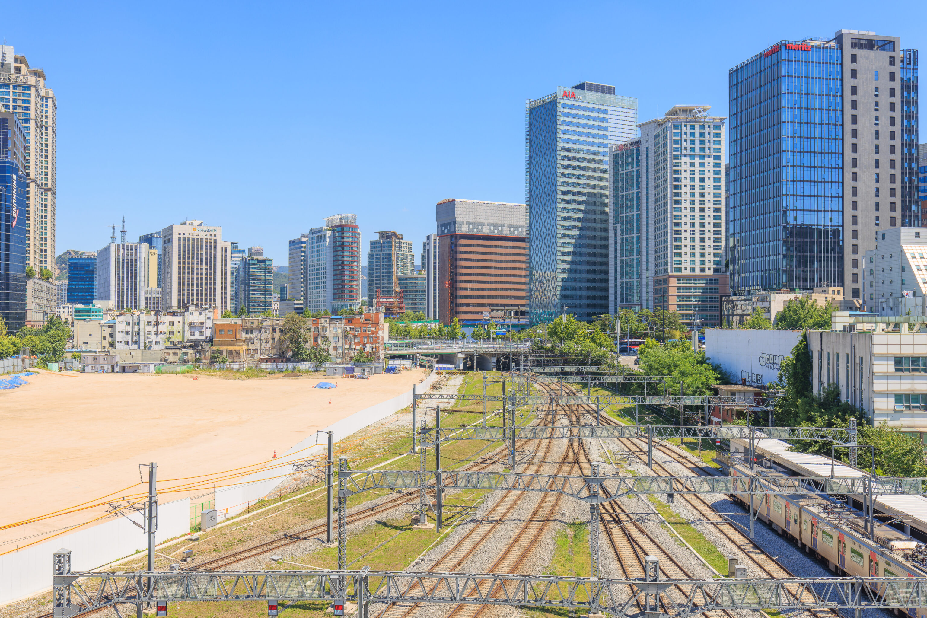
We crossed over the train tracks that go through Seoul Station. There is a huge empty spot here to the north! Is something going to be built here?
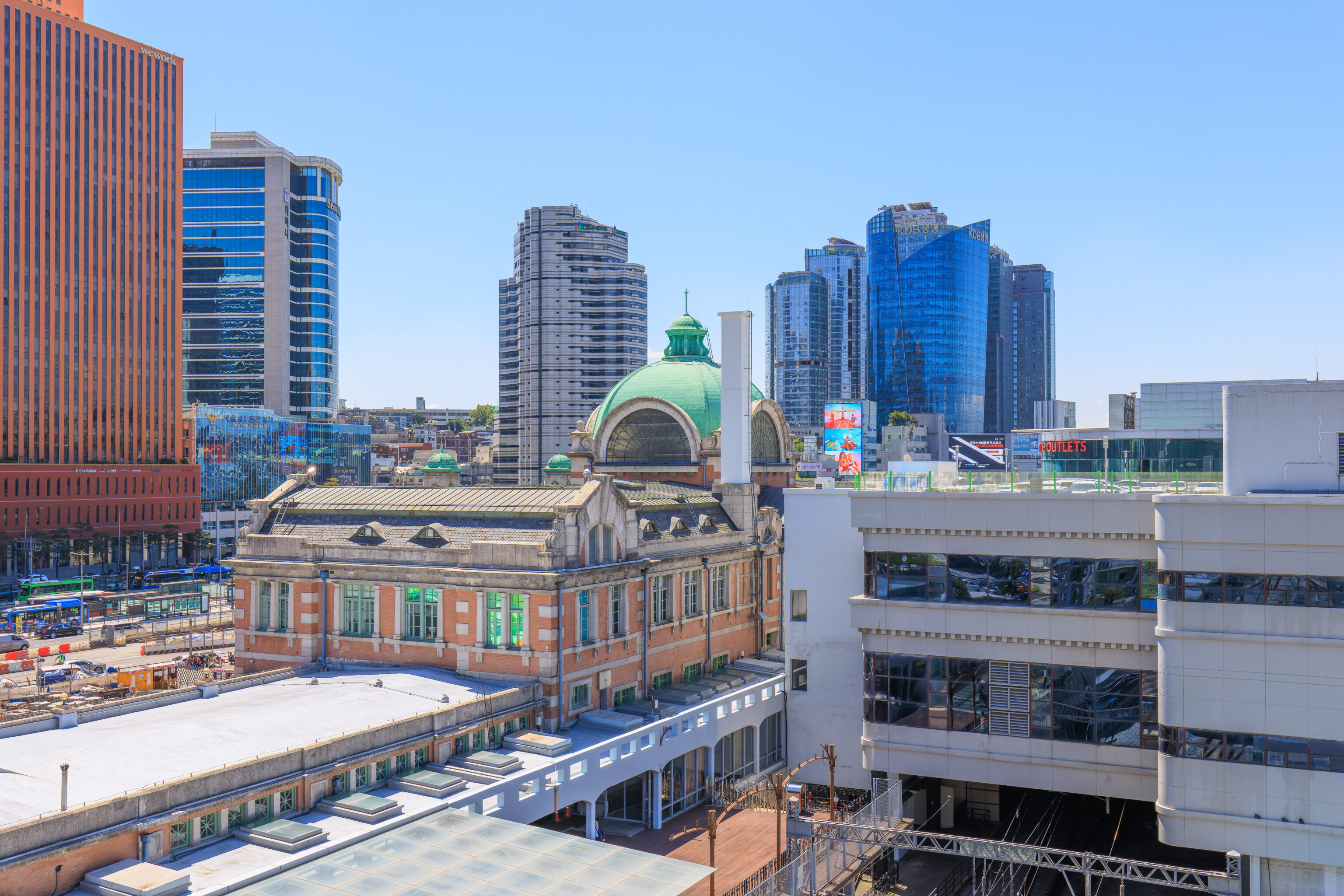
Looking in the other direction, we could see the historic portion of Seoul Station next to an ugly more recent structure.
We went up into one of those little circular buildings to take a look. Looking back to the west, much of the park was blocked by a pair of trees! The path that leads to Docking Seoul is visible on the left though, as is the circular structure that must be the museum.
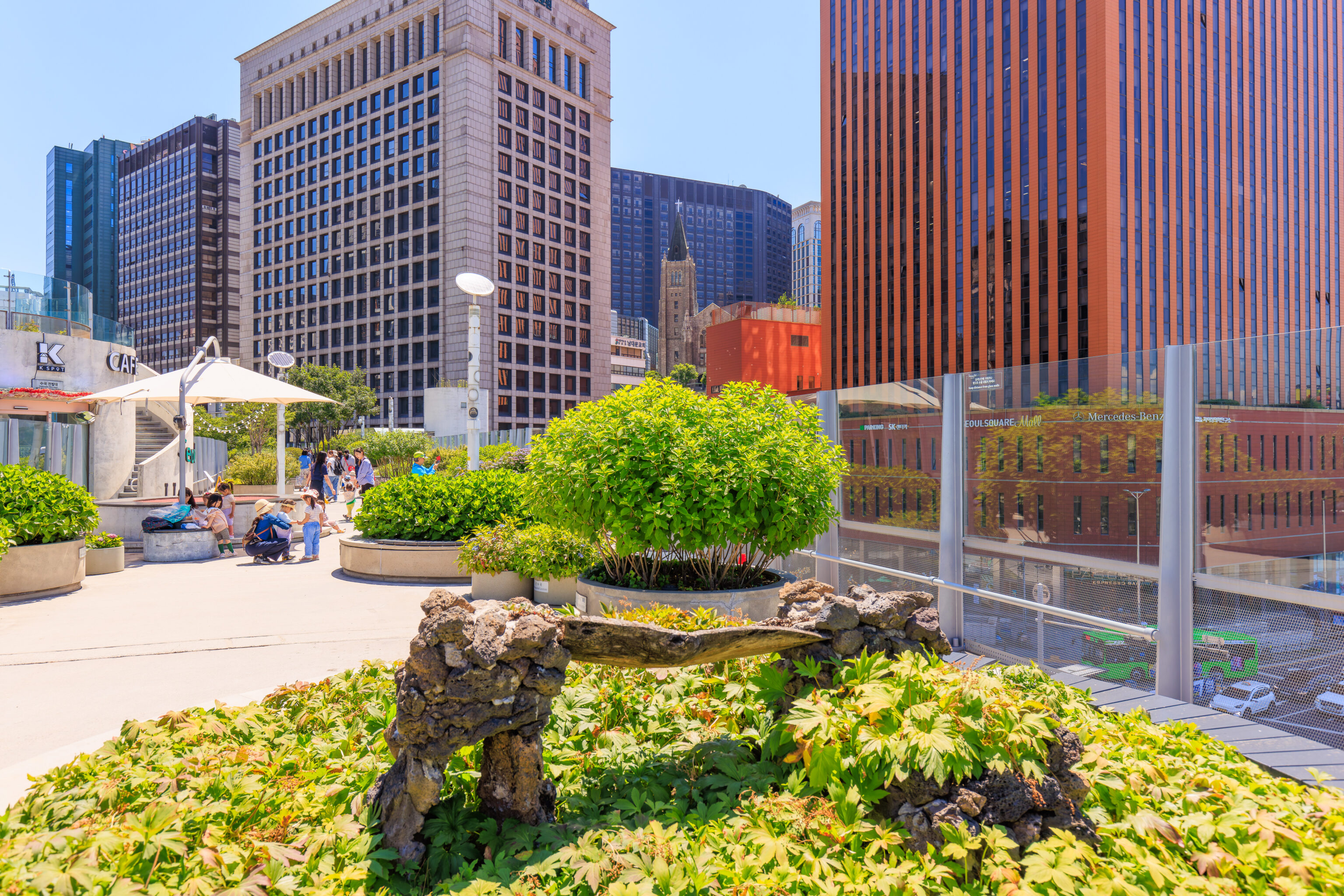
Looking to the east, we could see many large buildings.
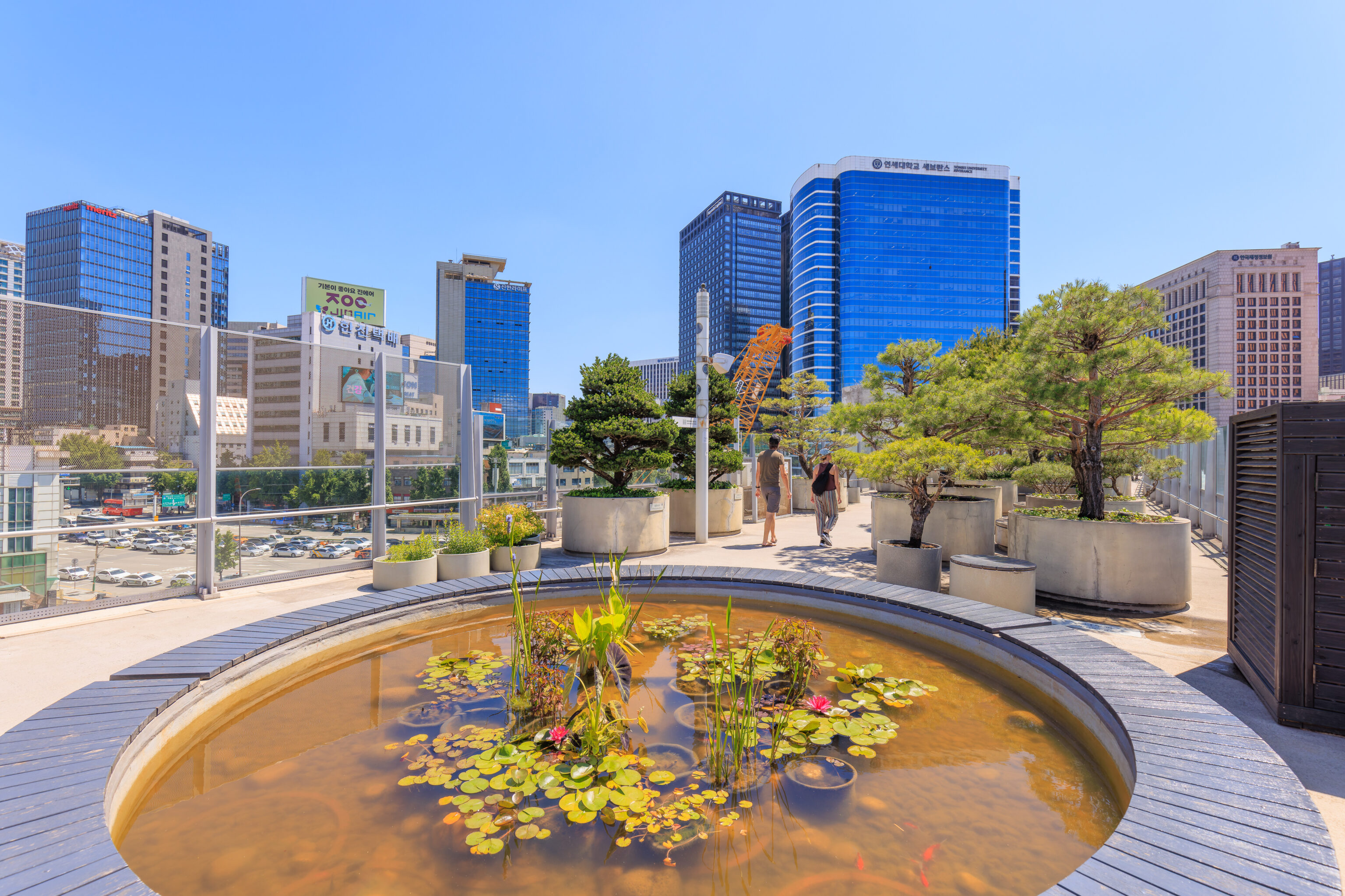
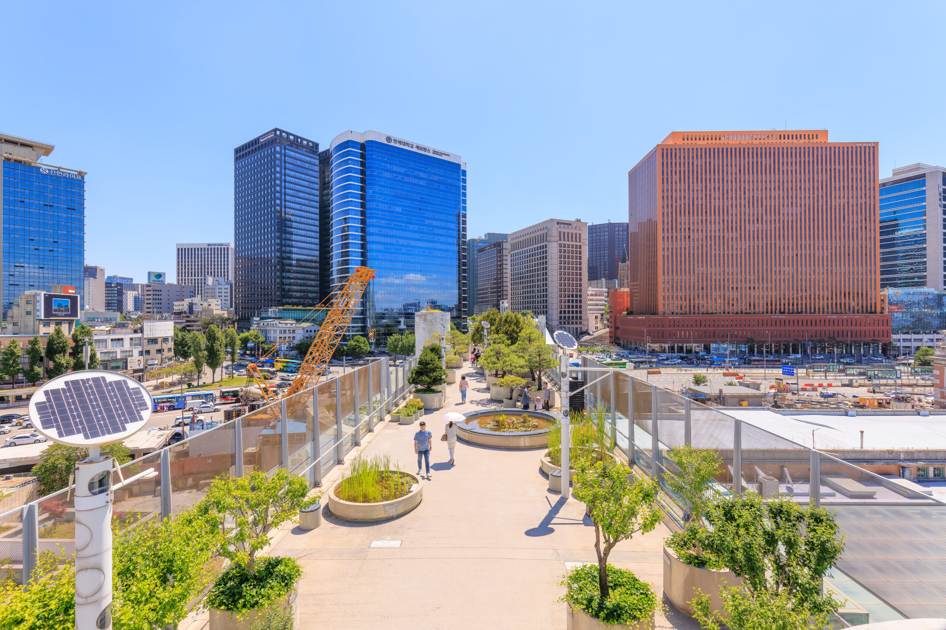
We went back down and continued walking to the east. These very large planters hold water with plants in the middle. There are even fish inside!
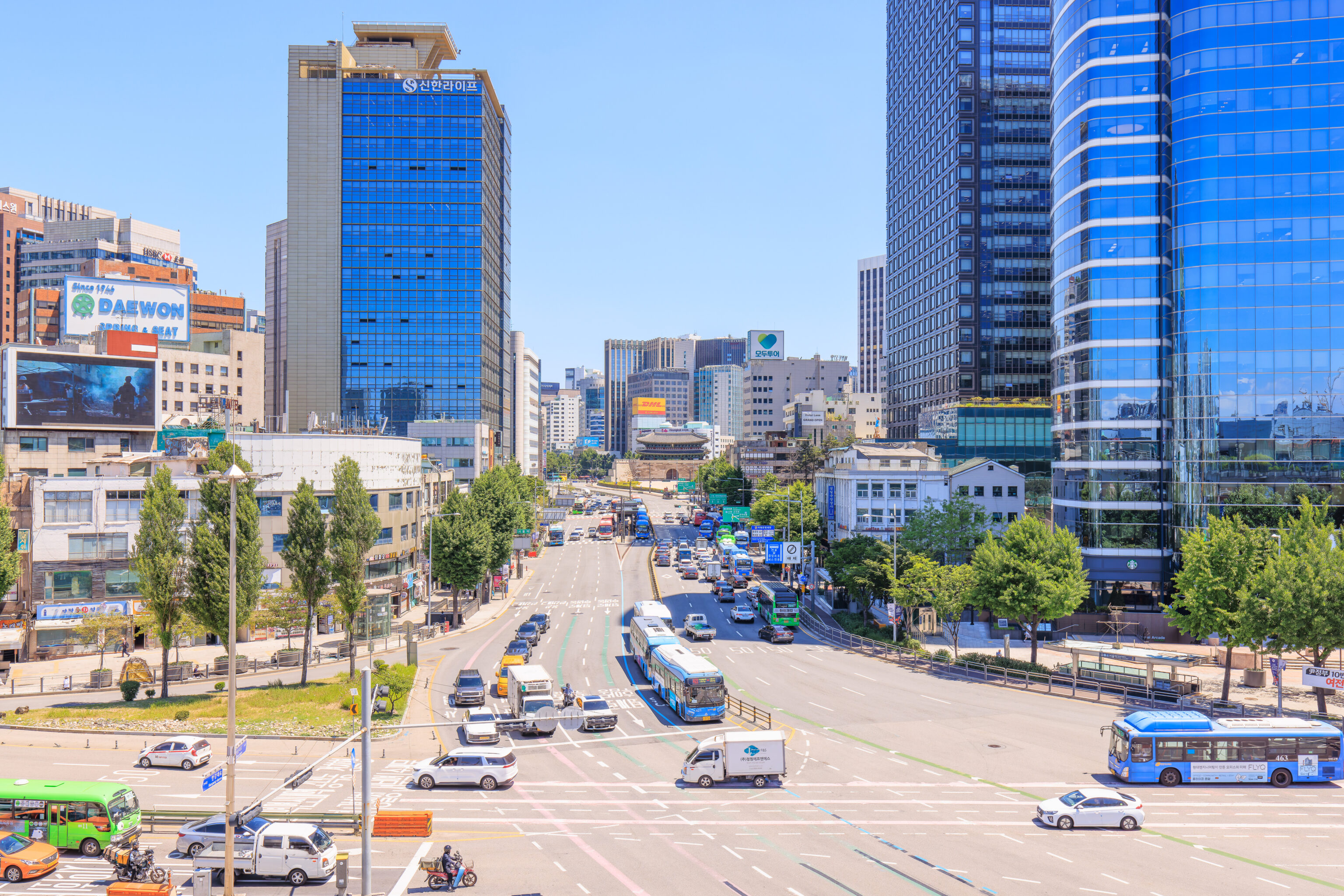
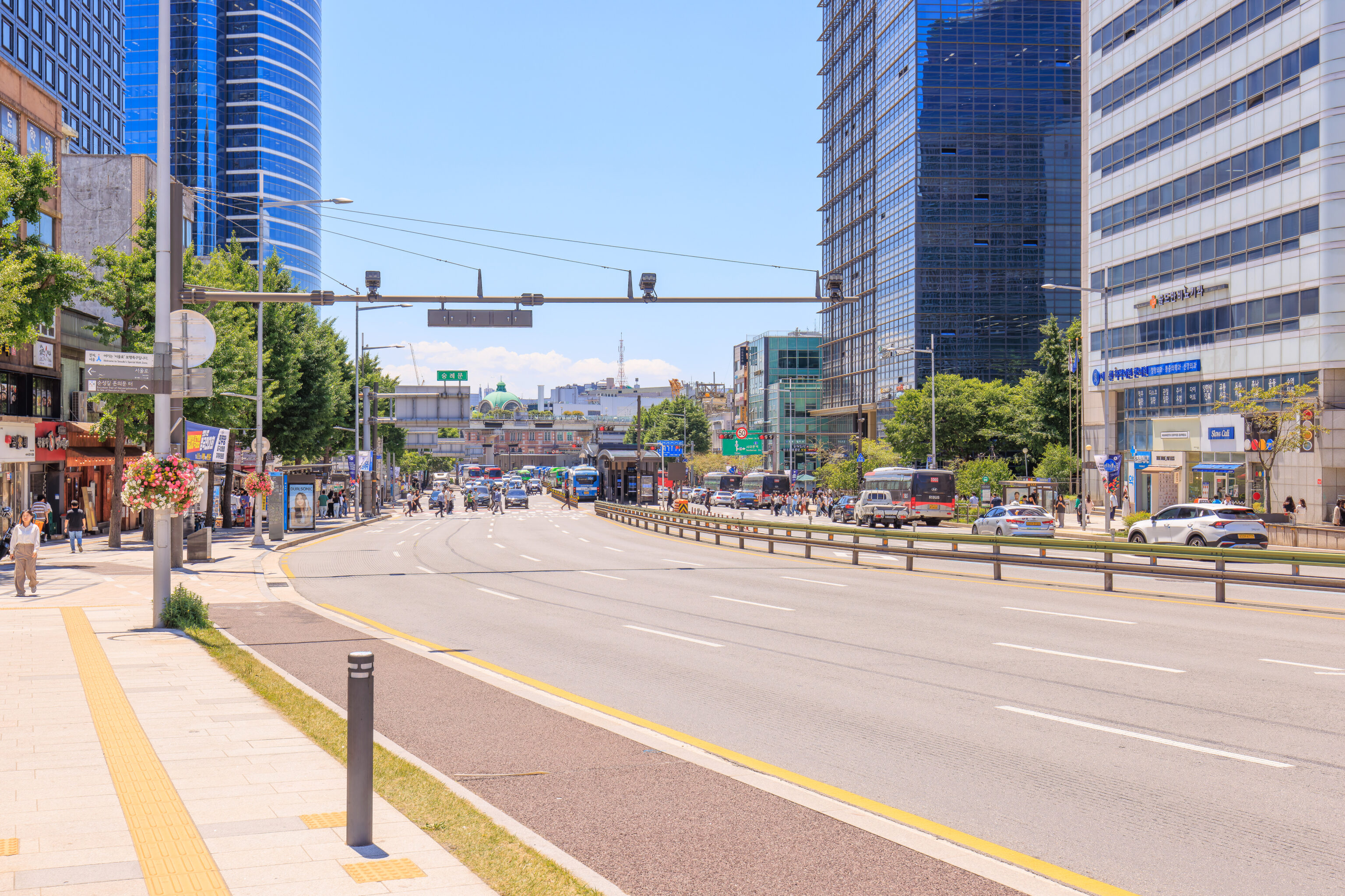
The road on the east side of Seoul Station is just as wide as the road we passed over on the west side! From here, we could see the 남대문 Namdaemun, one of the gates through Seoul’s city wall.
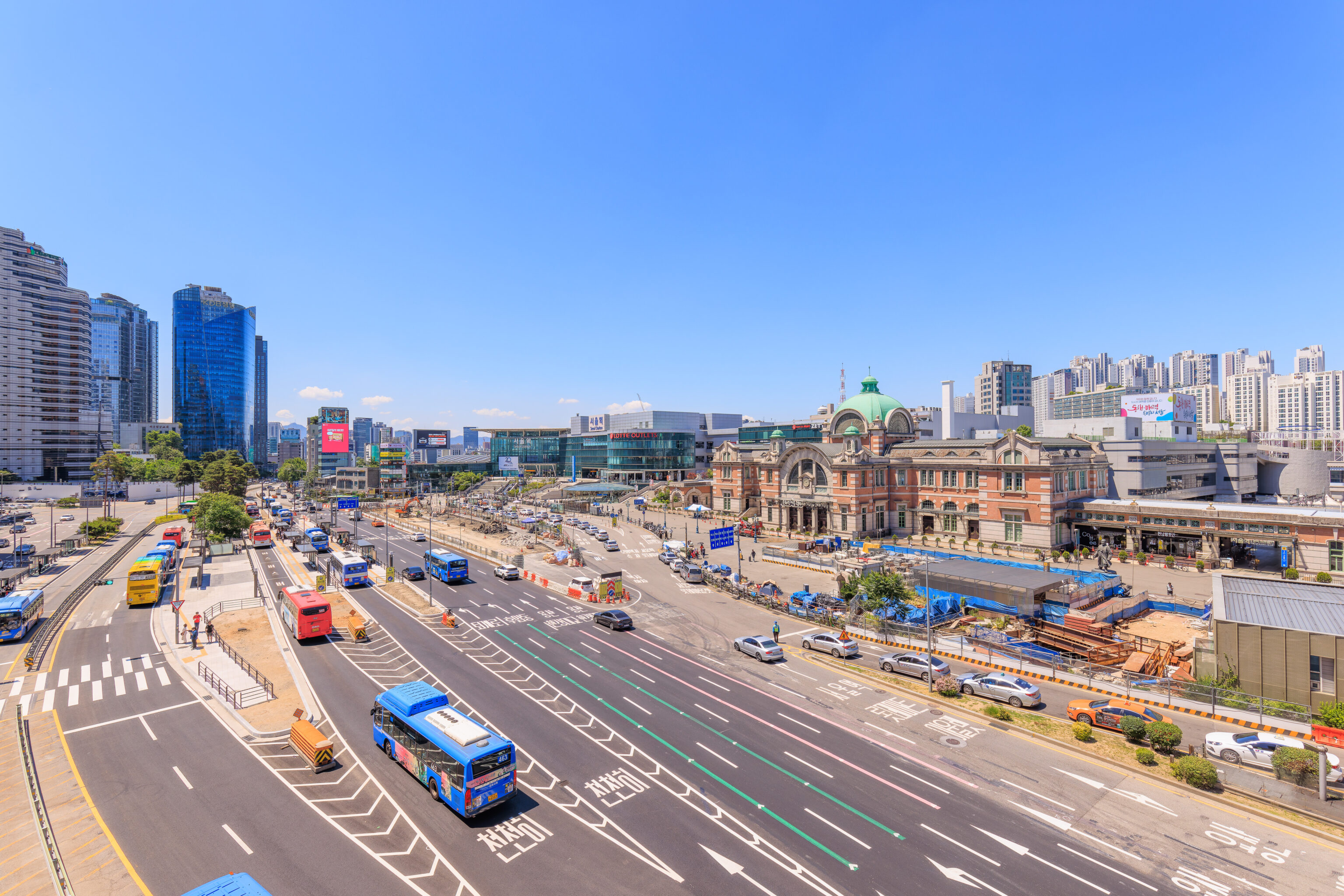
We were able to geta good view of the front of Seoul Station from the park. There was a handy gap in the glass that surrounds the park for photography!
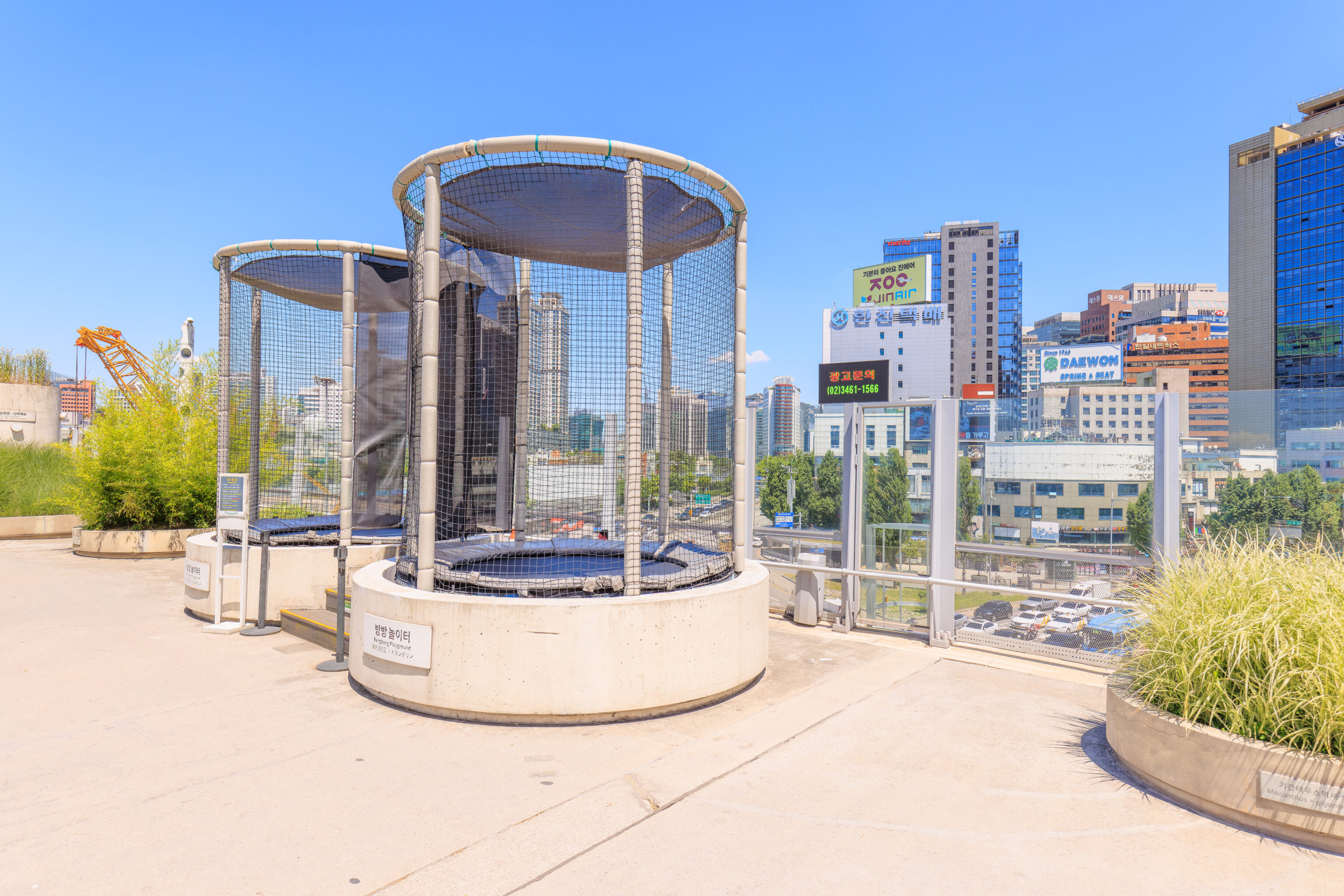
These two planters contain trampolines! They are labeled “Bangbang Playground.”
We continued to the east, leaving Seoul Station behind.
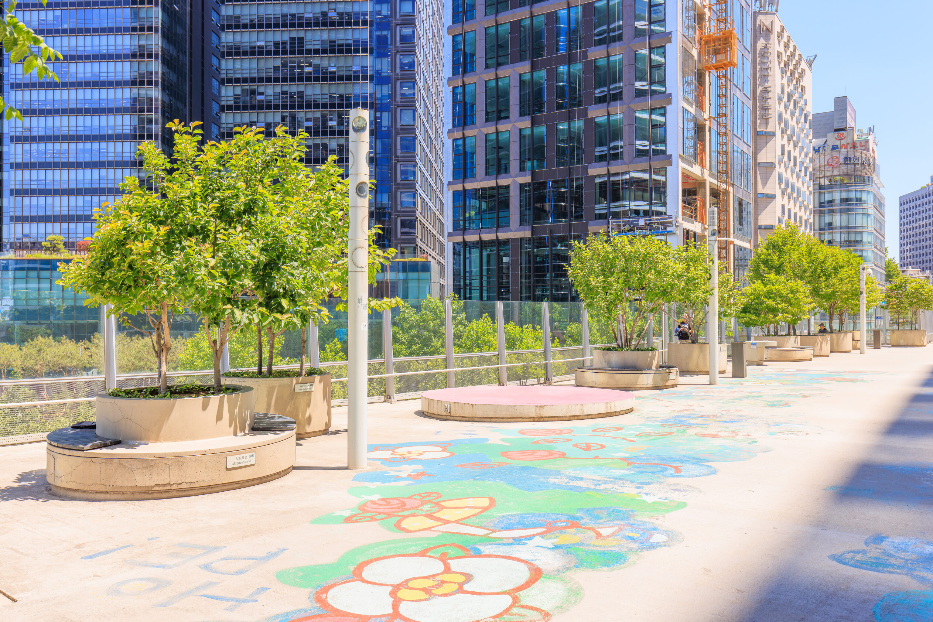
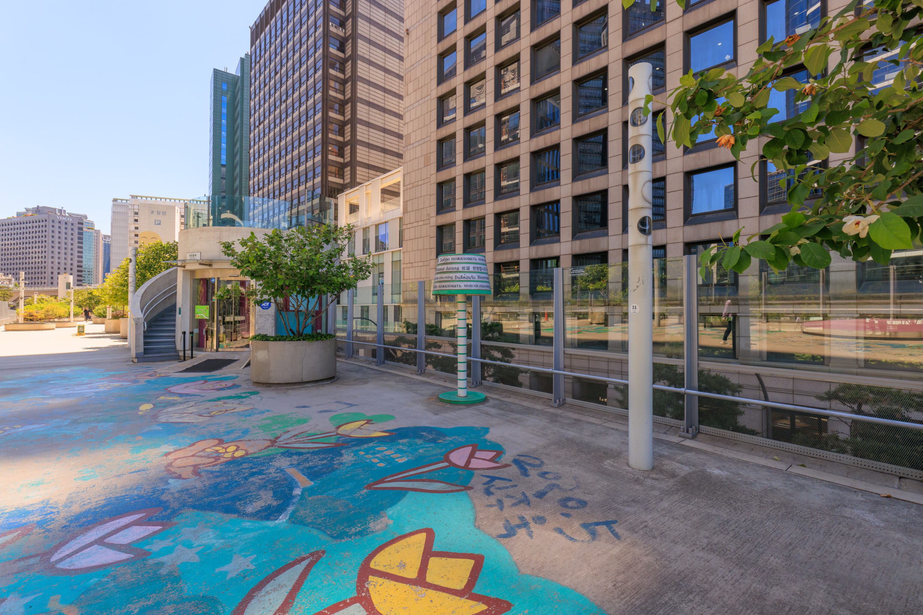
The ground here was decorated with artwork.
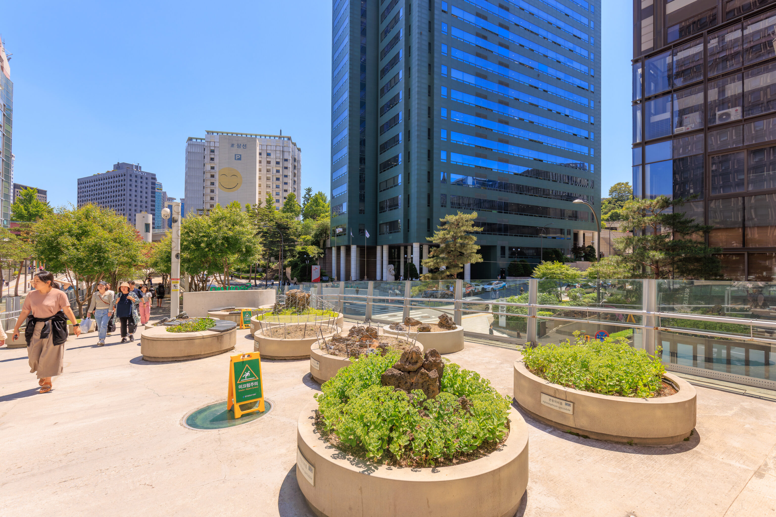
The park started to descend as we neared its eastern end. The rocks in some of these planters look a bit like lava rocks.
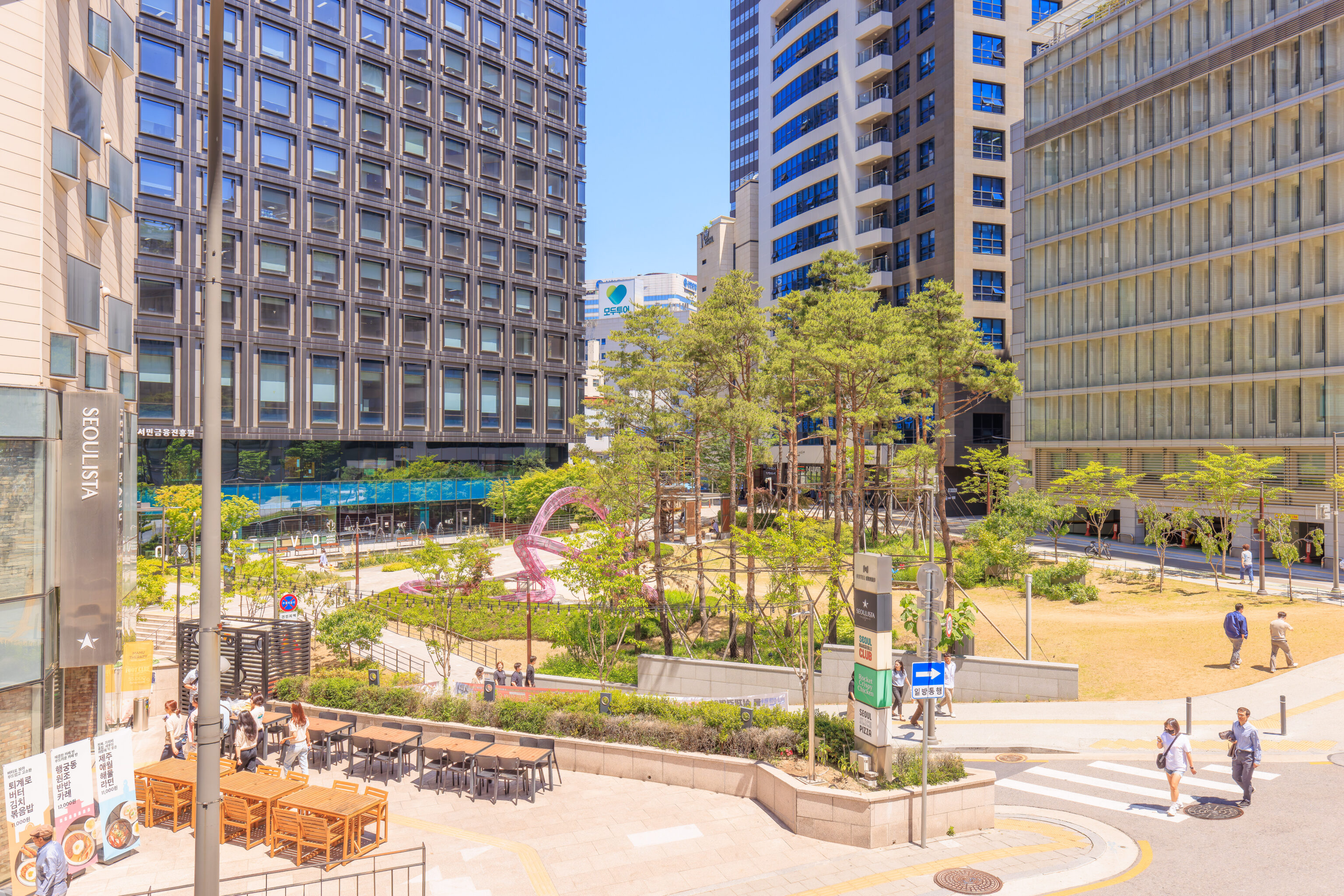
We passed by a small square with grass and trees. It also contained some sort of pink sculpture which looked a bit like a tiny rollercoaster.
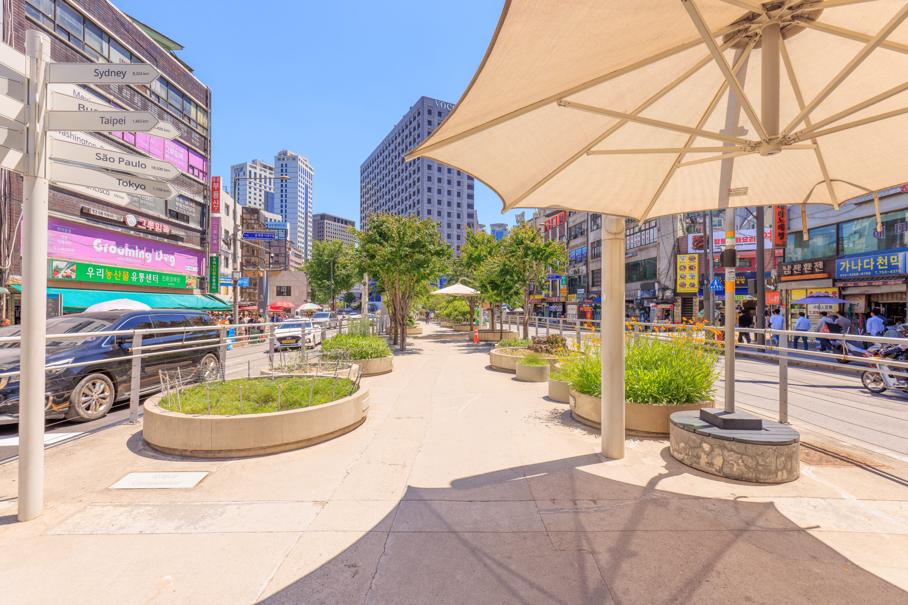
The eastern end of the park is in front of 남대문시장 Namdaemun Market.
Namdaemun Market
Namdaemun Market is the largest in Seoul with over 10,000 stalls. Parts were extremely crowded as we walked through looking for food.
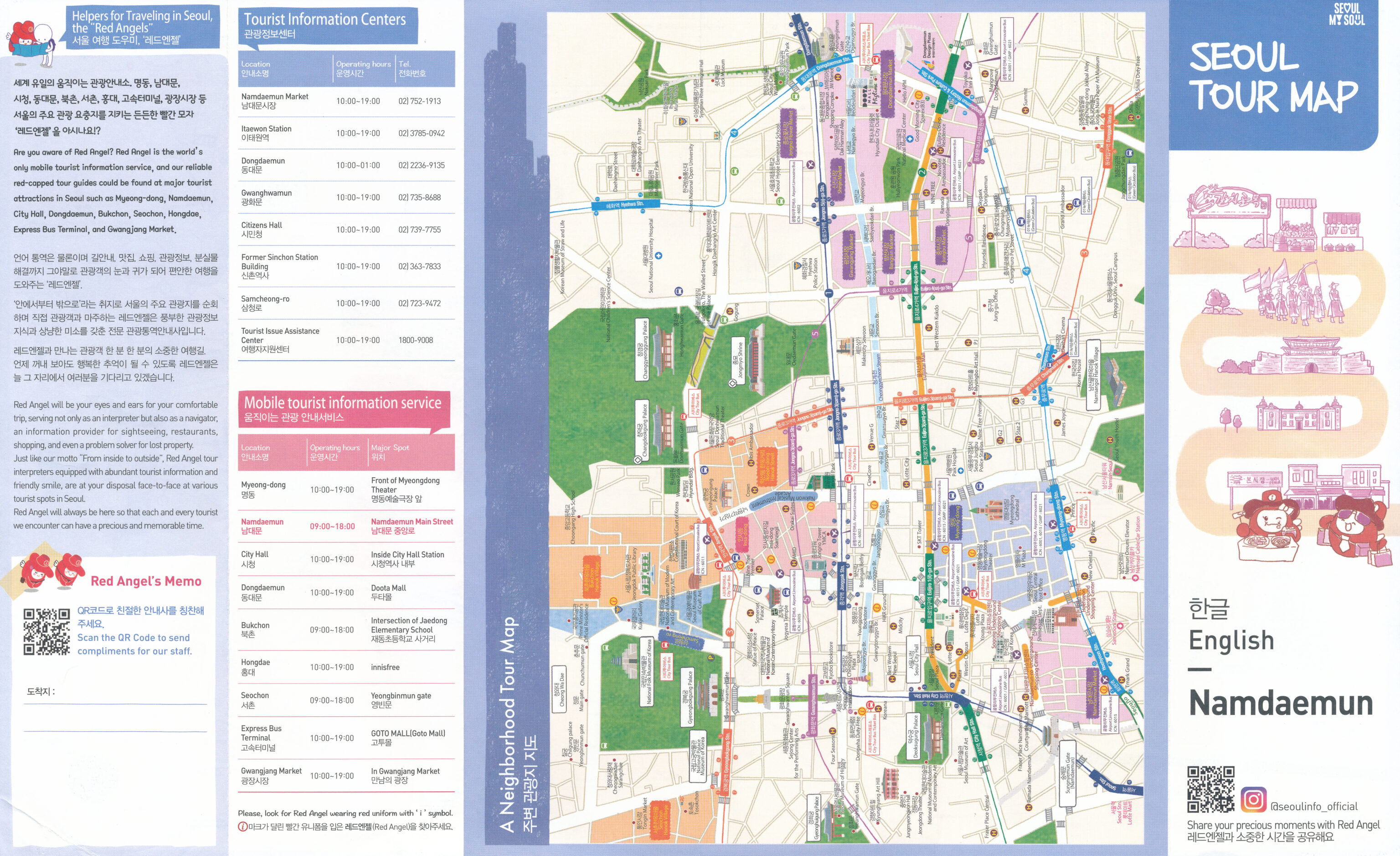
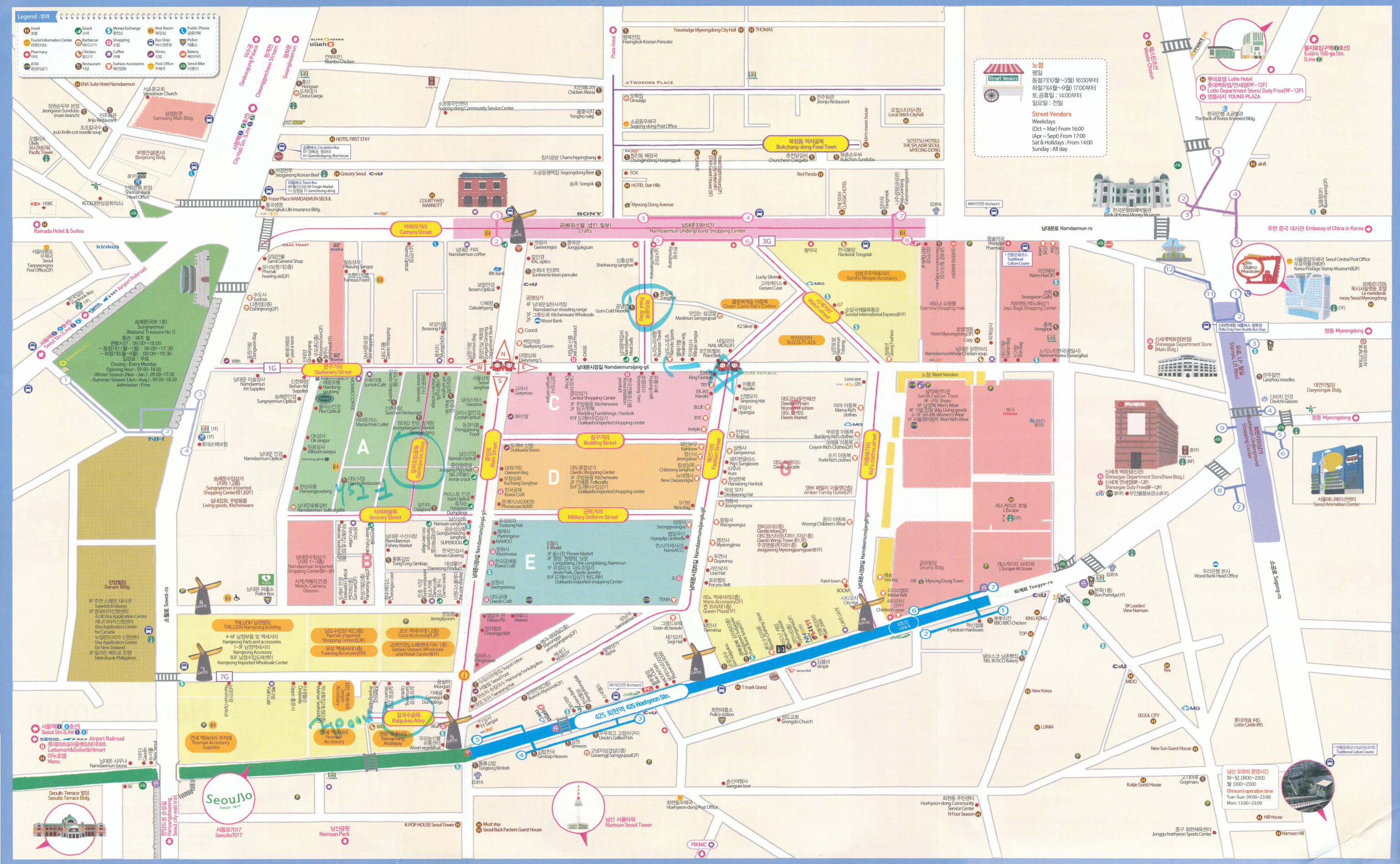
We ended up getting a map from some of the market’s Red Angel information staff with some food areas marked. We tried to find the Food Alley as it was the closest area with food to us. It was difficult to find as the map doesn’t seem to really be to scale.
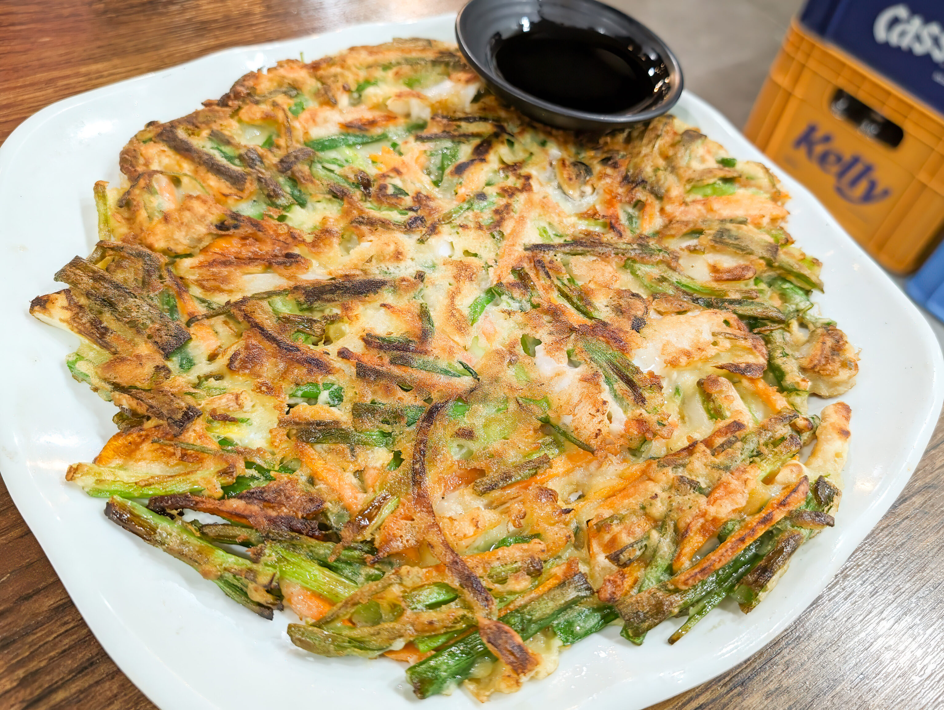
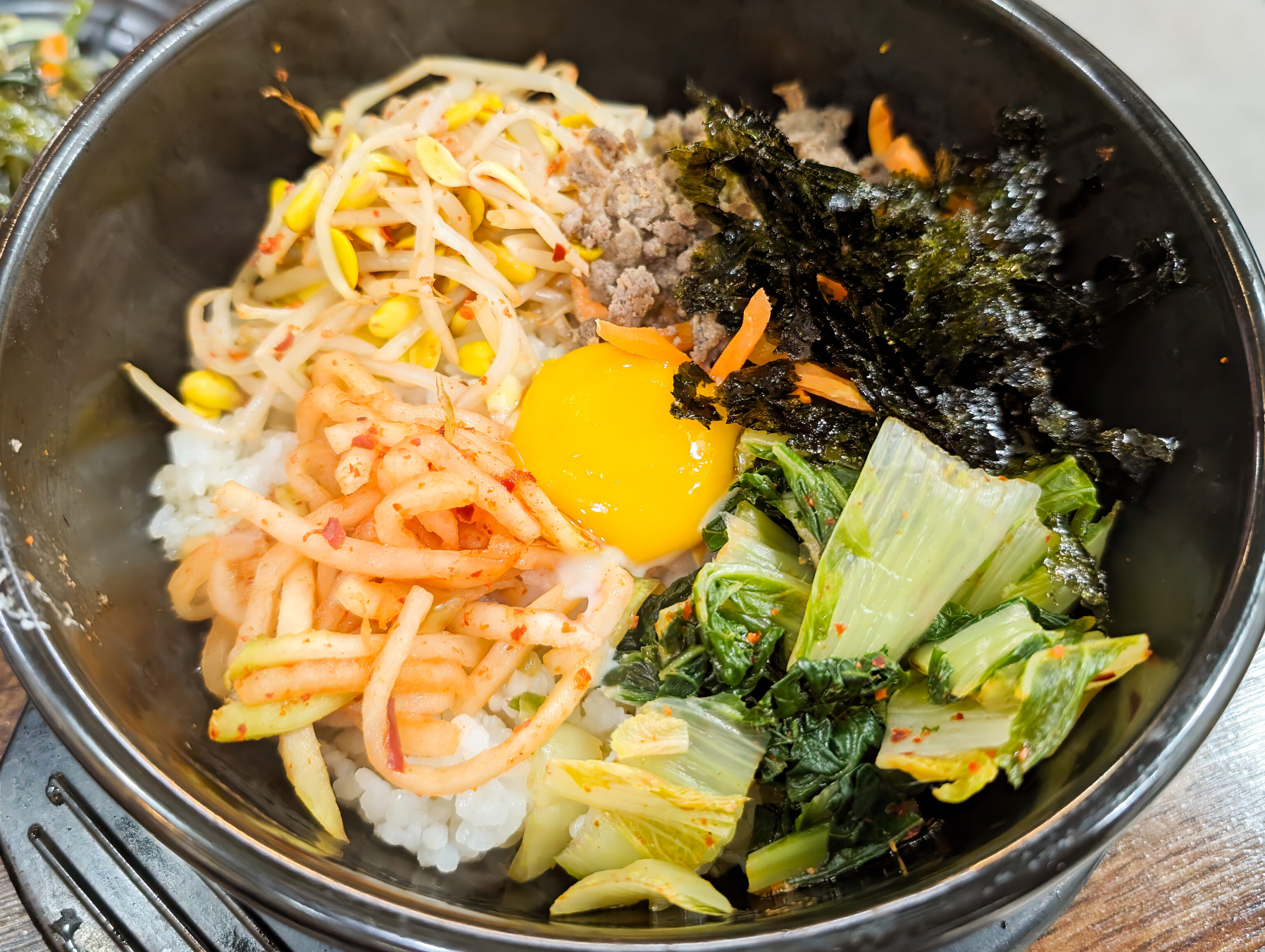
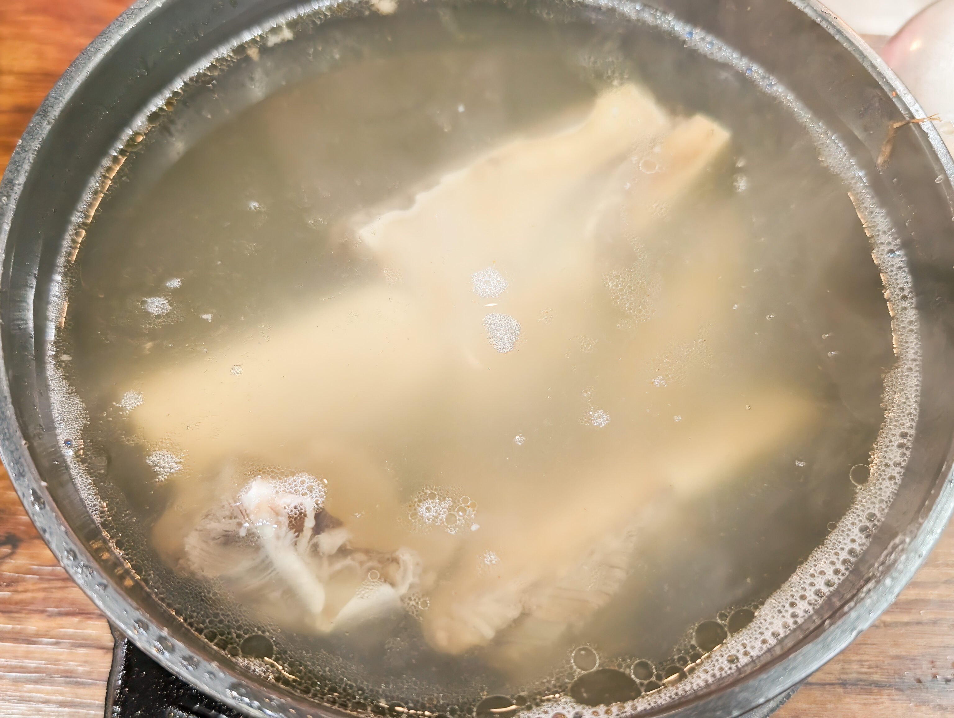
We ended up visiting Nadon, a small restaurant at the edge of the market. The restaurant was somewhat busy with some Korean grannies and other younger Koreans, so we thought it would be a decent choice. We got a seafood pancake, bibimbap, and galbitang.
Everything was pretty good. The pajeon was much better than the one we had earlier on this trip. The bibimbap was very good and the soup had excellent flavor. The only negative was the meat on the beef ribs was rather tough.
Namdaemun
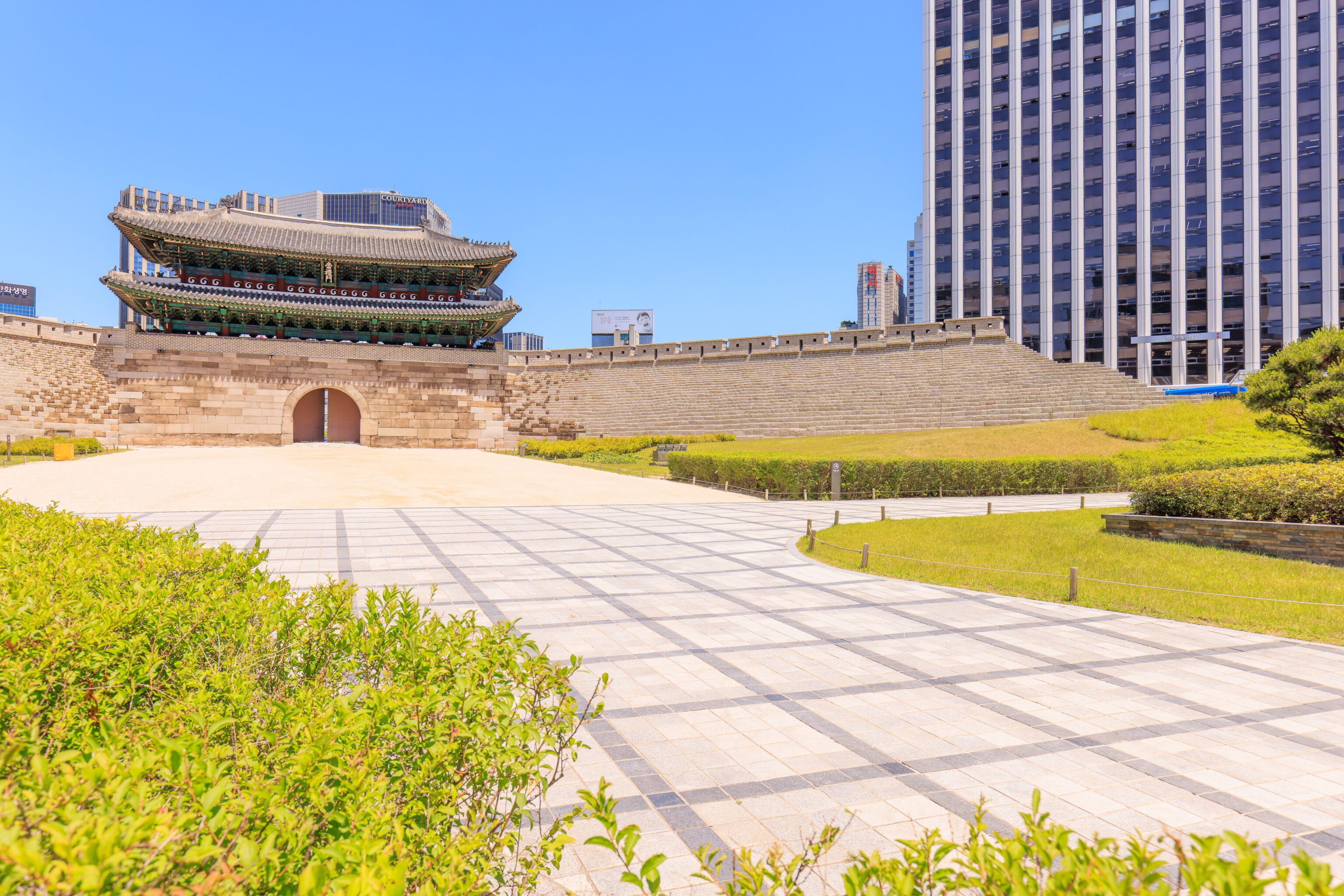
After lunch, we walked over to Namdaemun, the gate that we saw earlier from Seoullo 7017.
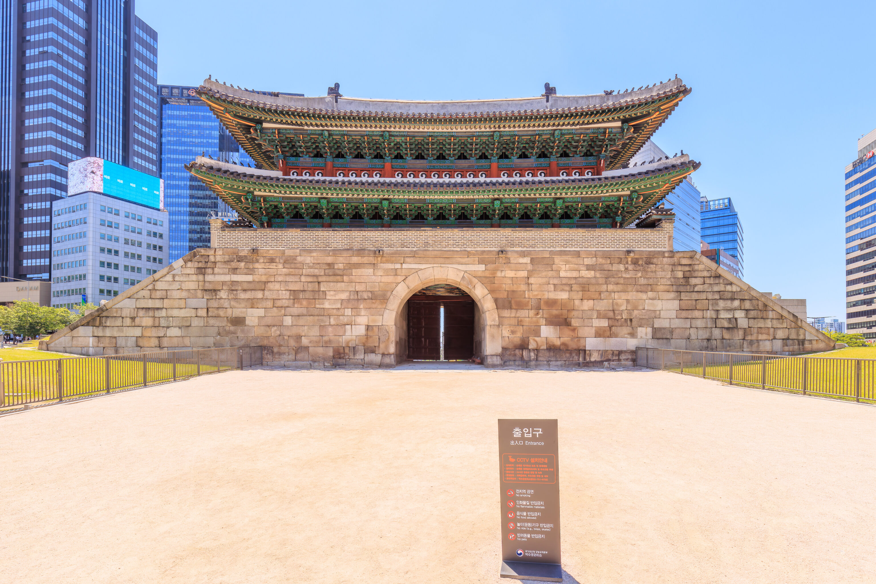
An inconveniently placed sign! Maybe I should have moved it 😂
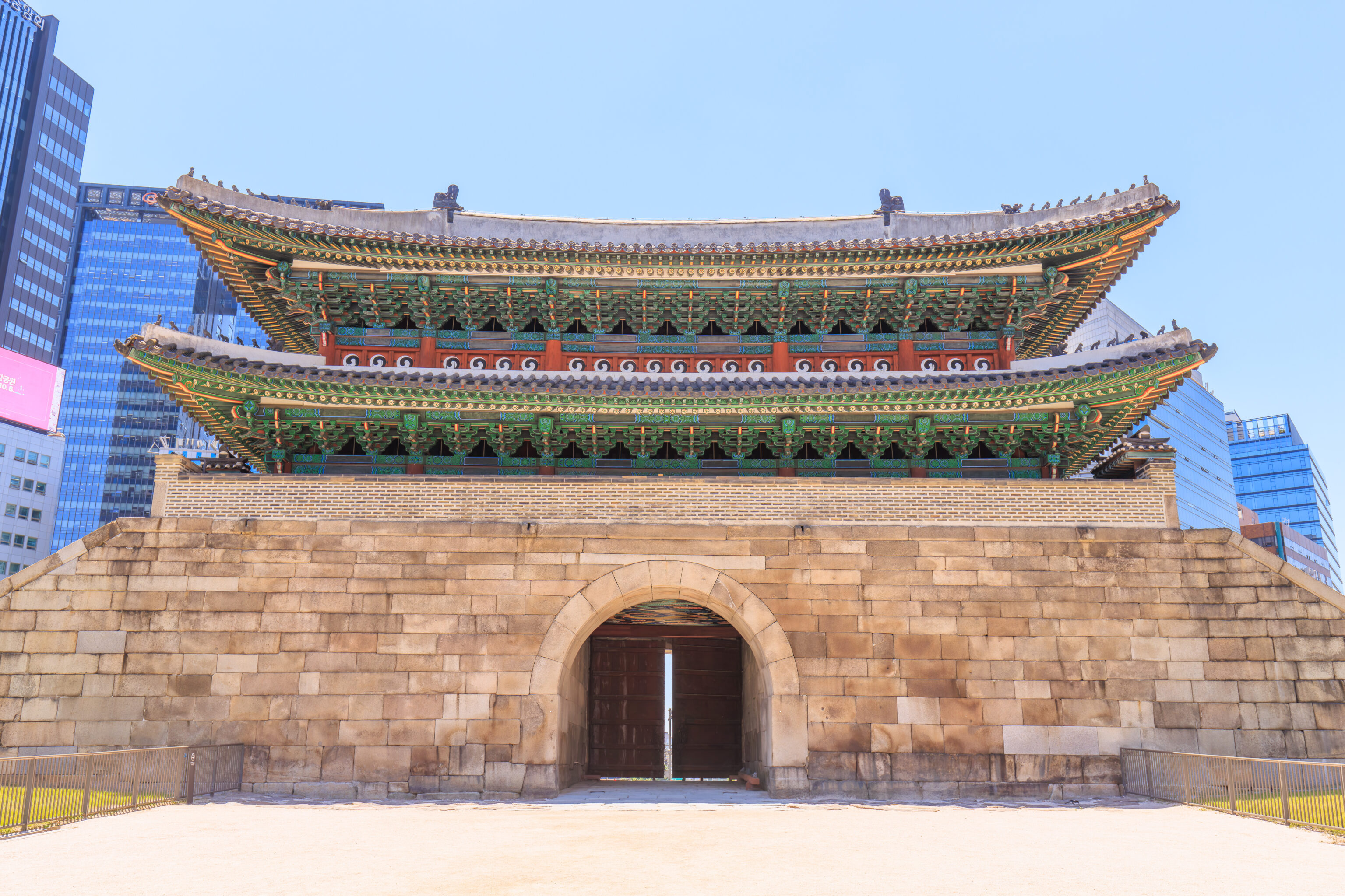
The wooden structure above the gate, unfortunately, is a reconstruction as the original burned down in 2008 as a result of arson. A sign off to the side describes this gate:
Sungnyemun Gate was one of the main gates of the Seoul City Wall, which was the fortress that encircled Hanyang, the capital of the Joseon dynasty (1392-1910). Its name means "Gate of Honoring Propriety." The general public often refers to this gate as Namdaemun, meaning "South Gate," because it was the southern entrance of the capital. On top of the gate is a two-story wooden pavilion, which is the oldest wooden structure of the Seoul City Wall.

The gate was first built in 1398 and was renovated in 1448 and 1479. It was damaged during the Korean War (1950-1953) and was taken apart, repaired, and reassembled between 1961 and 1963. In 2008, most of the wooden pavilion atop the gate was destroyed in an arson attack. Repairs of the gate were completed in 2013. During the Joseon period, Sungnyemun Gate closed at 10 p.m. and opened at 4 a.m. each day, and a bell in the gate pavilion was used to announce the time. The gate was also visited occasionally by the king, who presided over rituals held here during times of flood and drought.

Despite the various damages it has suffered in the past, Sungnyemun Gate remains a valuable resource in understanding the architectural design and construction techniques of the early Joseon period.
Note that the text uses the formal name of this gate, 숭례문 Sungnyemun.
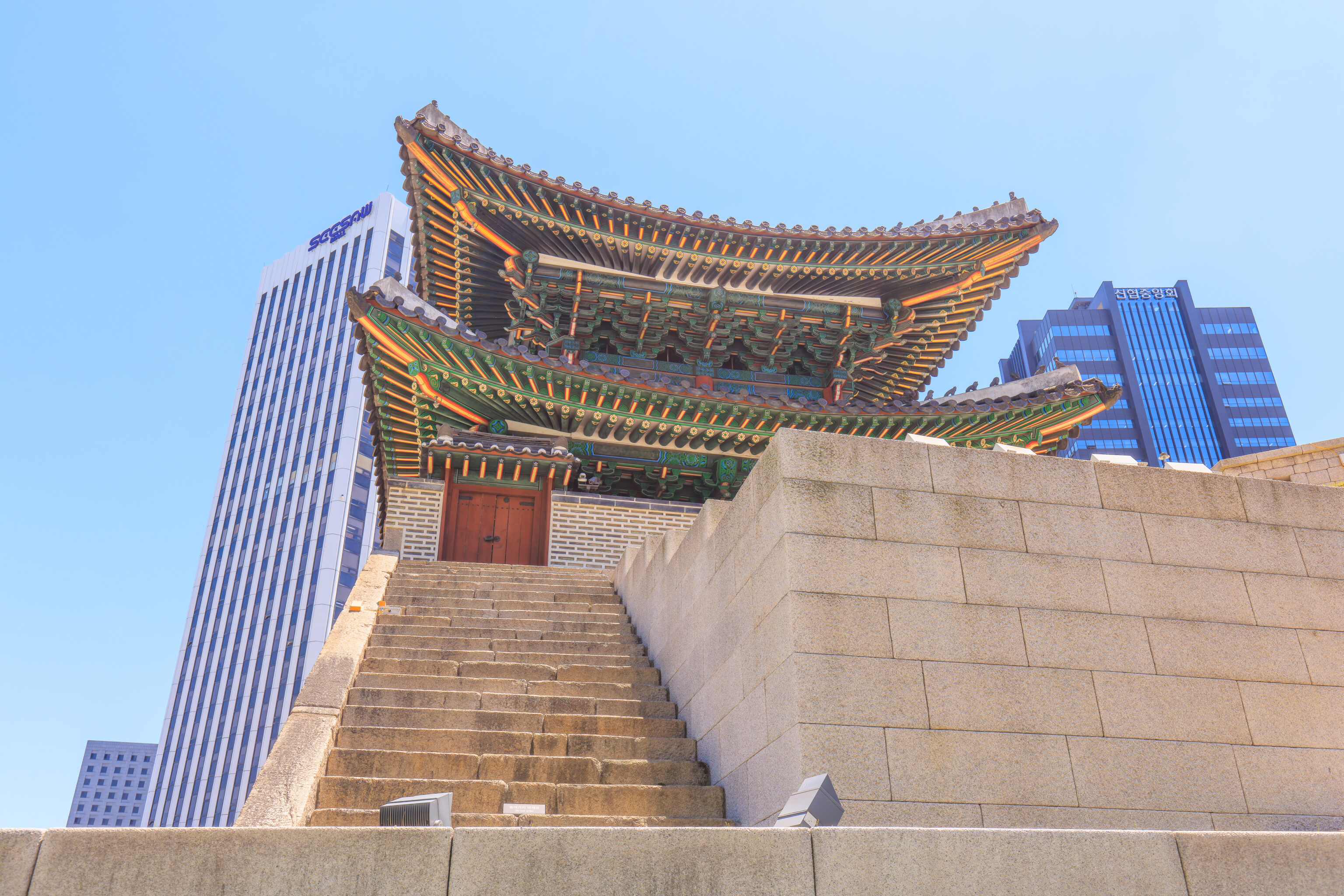
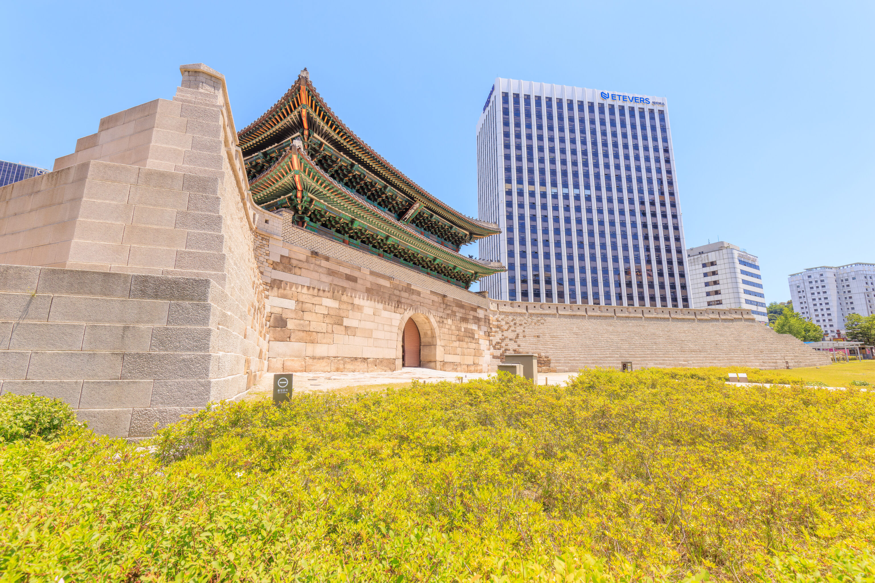
We looped around the gate’s west side to see it from the southeast, which would have been outside of the city wall. The gate’s Wikipedia page explains that unlike the other city gates, the text Sungnyemun is written vertically.
We could see Seoul Station to the southwest from here, as well as the Seoullo 7017, though it is a bit hard to find.
Myeongdong
We took the bus from the 숭례문 Sungnyemun bus stop to the stop nearest 명동대성당 Myeongdong Cathedral.
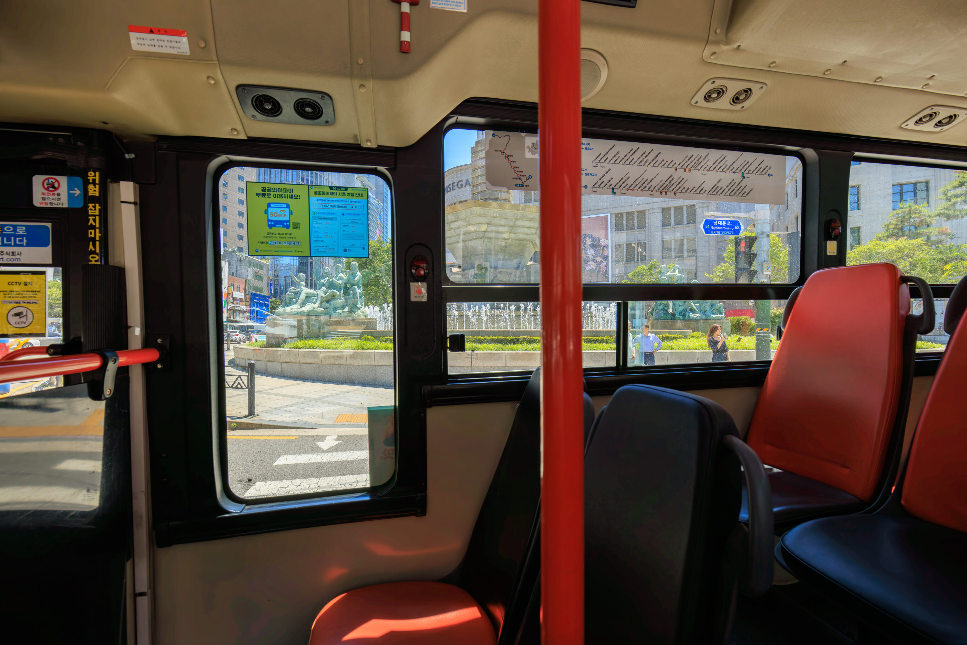
The bus passed by a fountain that looked very European. It is labelled on Google Maps as the 한국은행 분수대 Bank of Korea Fountain and is across the street from the 한국은행 화폐박물관 Bank of Korea Money Museum, located in a historic former bank building.
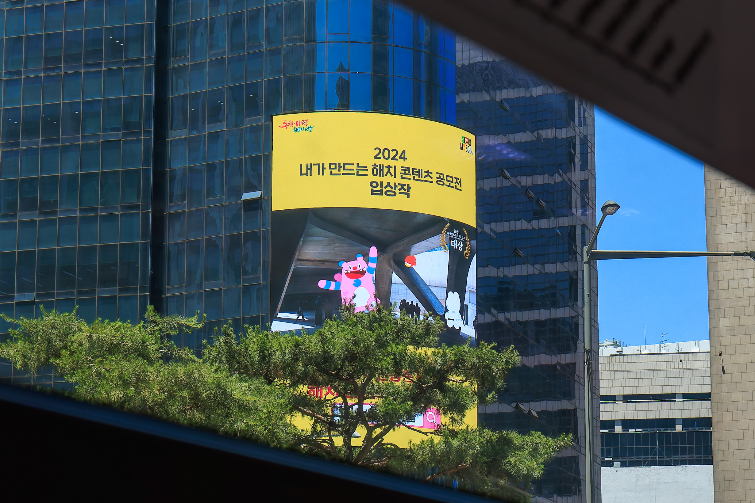
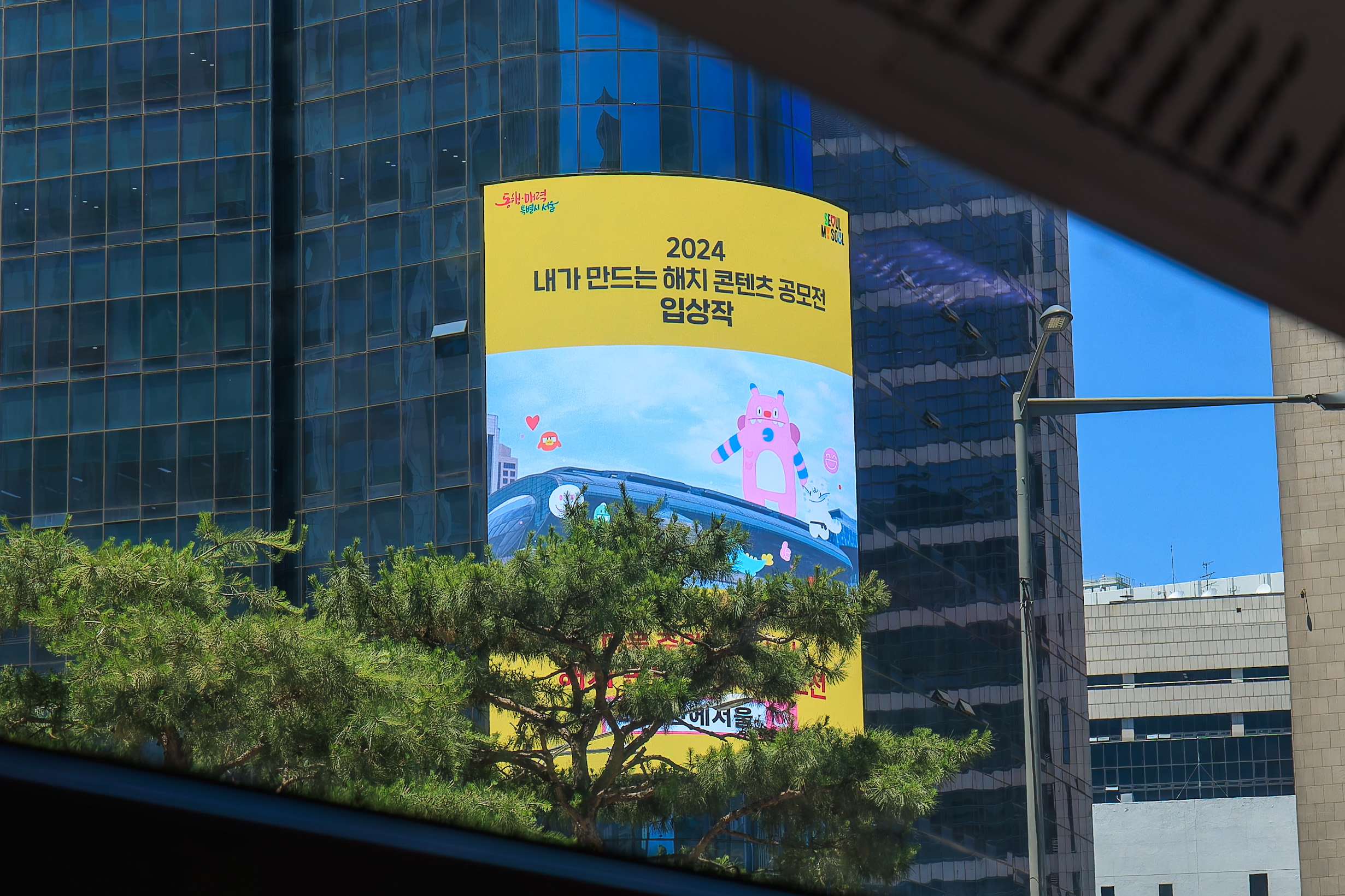
As the bus continued to the east, we noticed a large advertising display showing Hechi and his Soul Friends, the city’s promotional mascots.
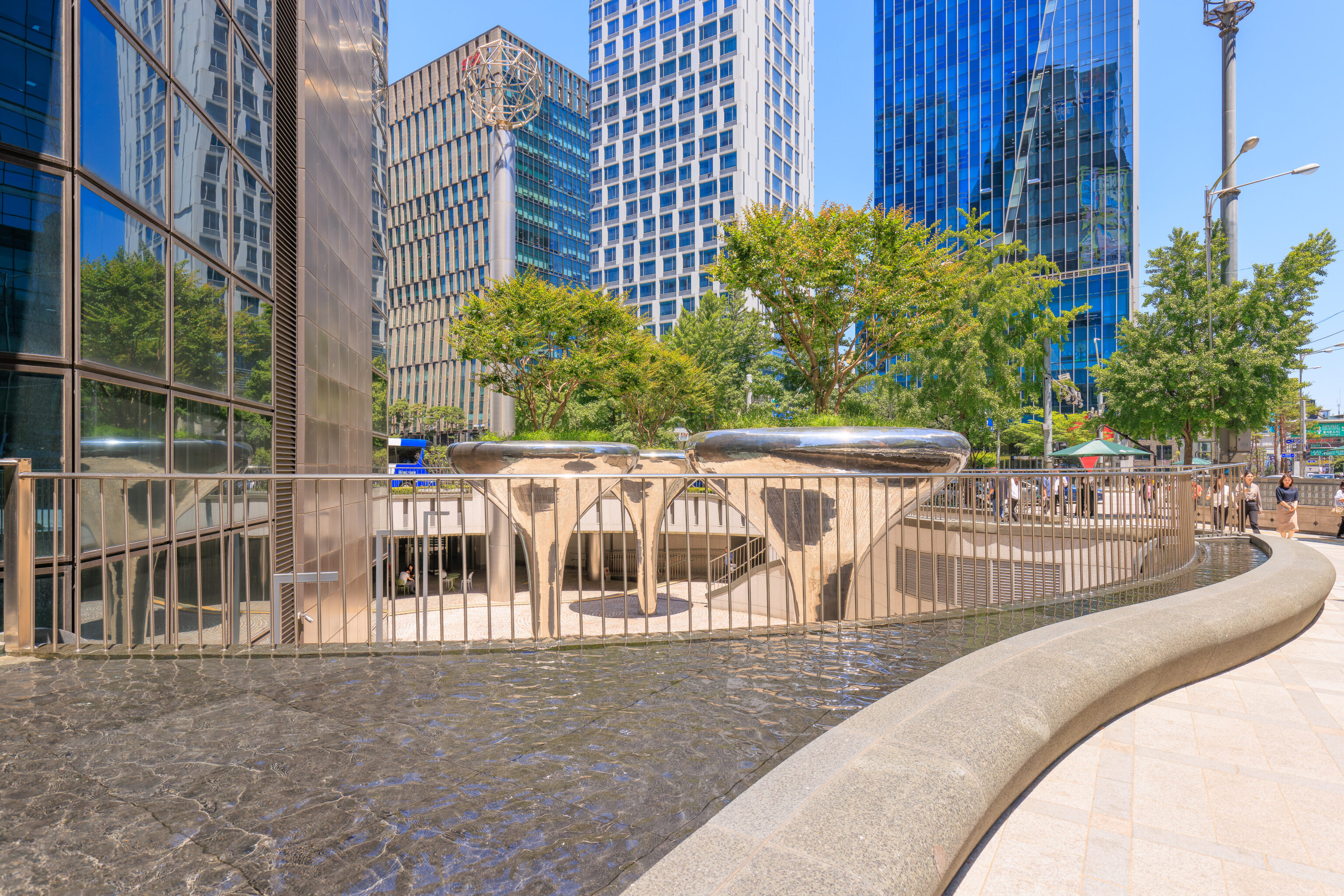
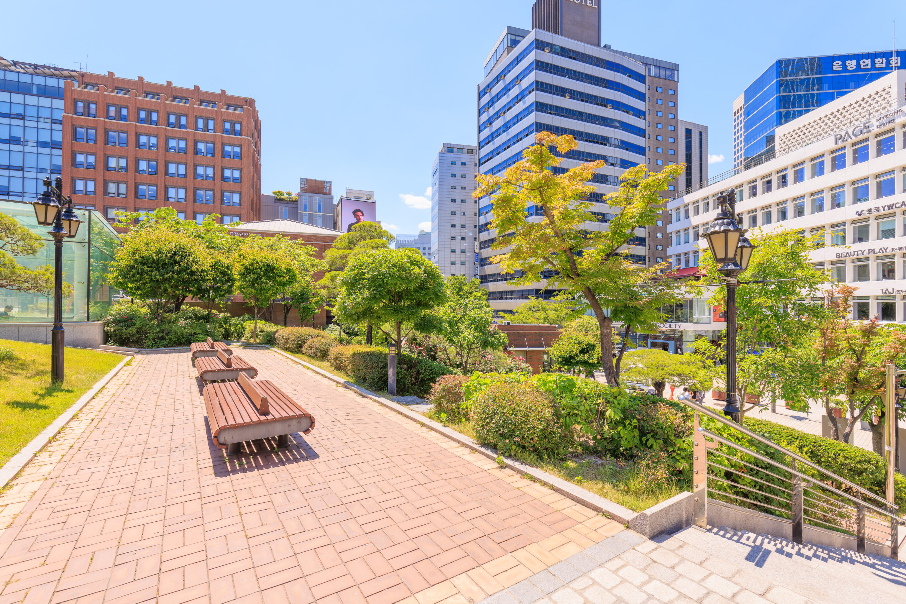
We got off at a bus stop at Euljiro 2-ga, not far from Myeongdong Cathedral. We noticed this office building had a water feature as well as some metal pedestals with trees planted on top.
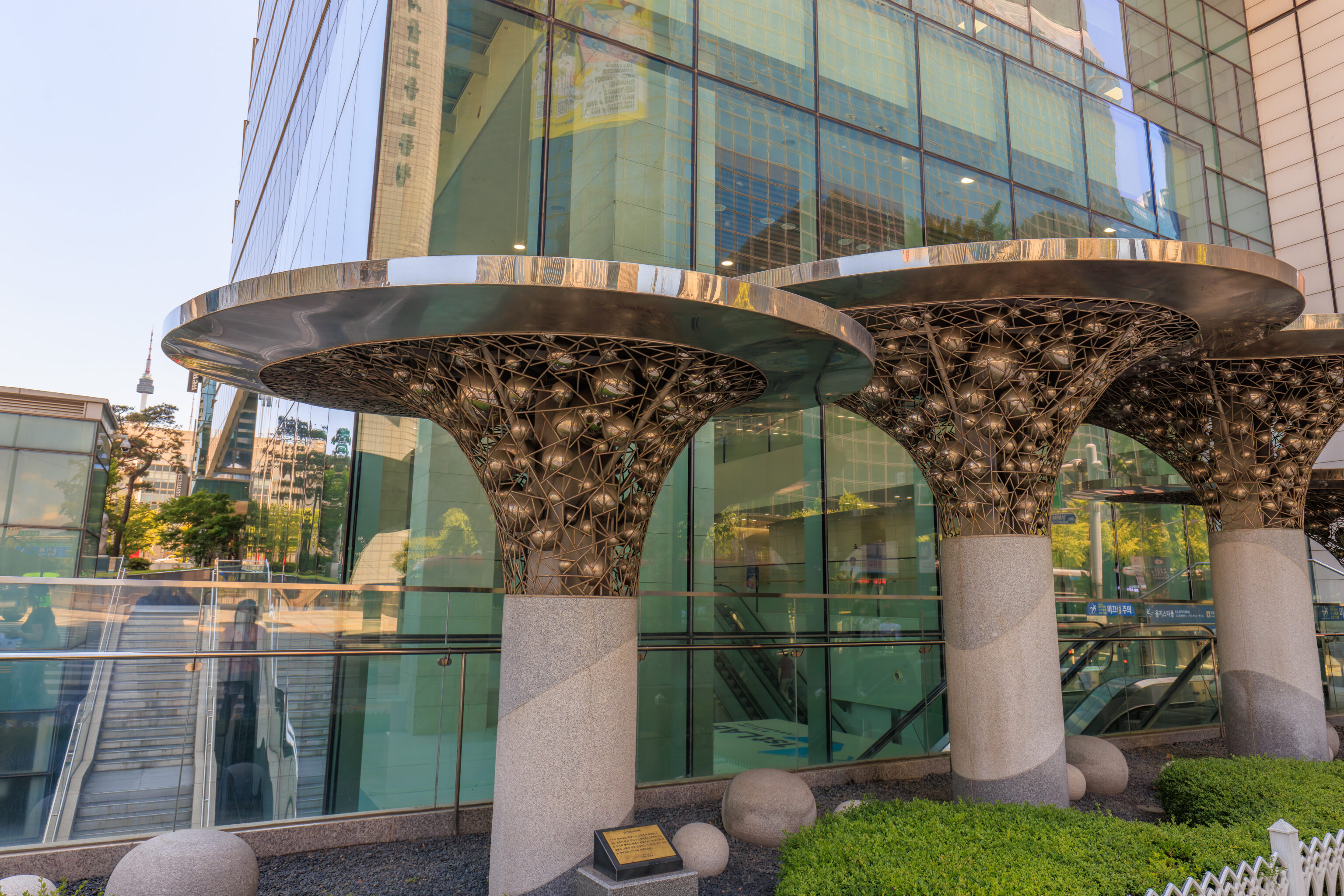
Some additional urban artwork was nearby. The small sign at the bottom of the photograph describes this installation, translated to English via Google:
Gold (Space2016)

It was designed to be a healing space in the city center in the shape of a group of trees, and the structure of the area was designed in a traditional sculptural form, and a sphere symbolizing water, the source of life, was inserted between the structures to express the image of life being created.
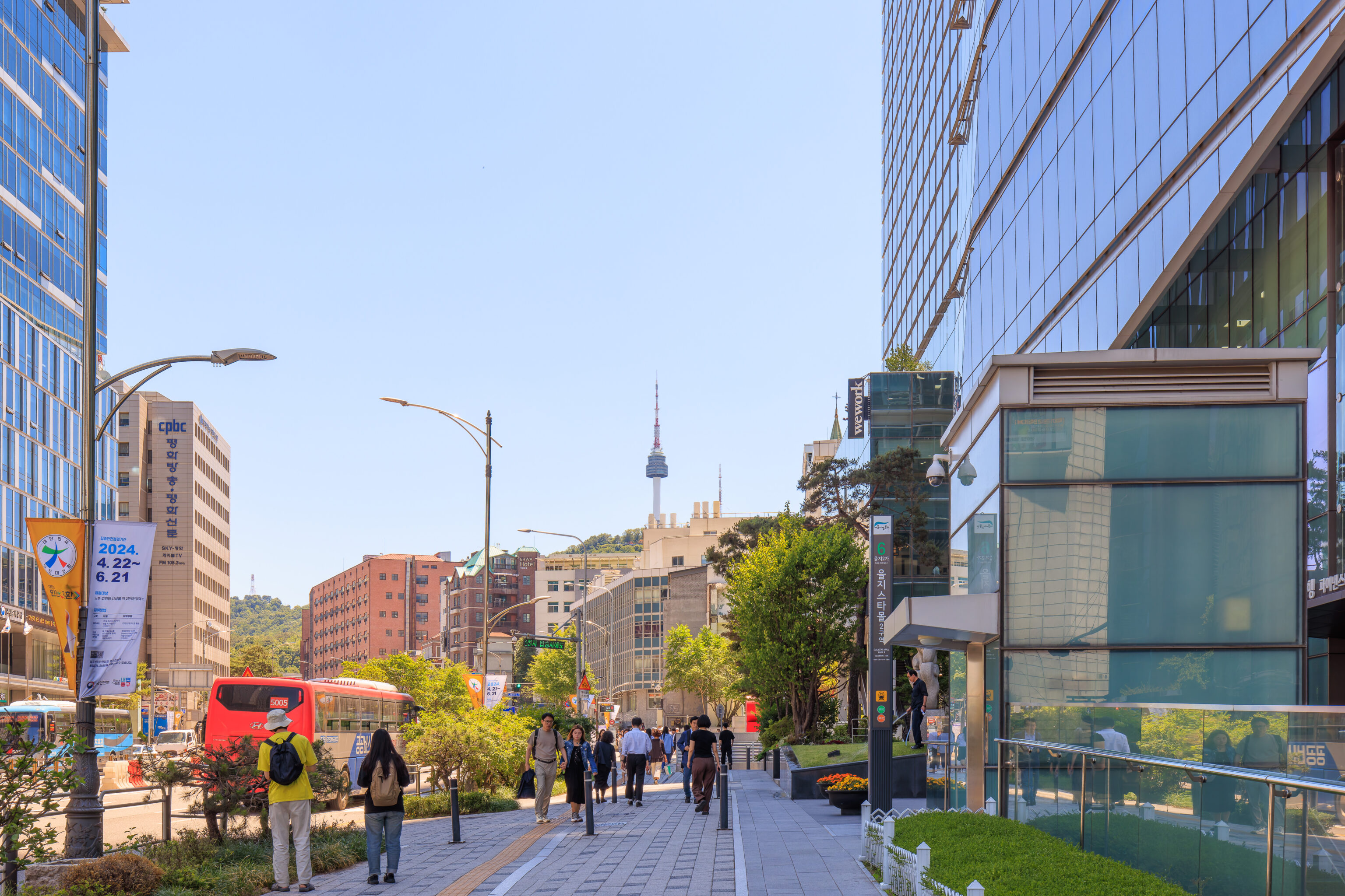
We saw the N Seoul Tower to the south. It is within walking distance, though that does include walking up Namsan.
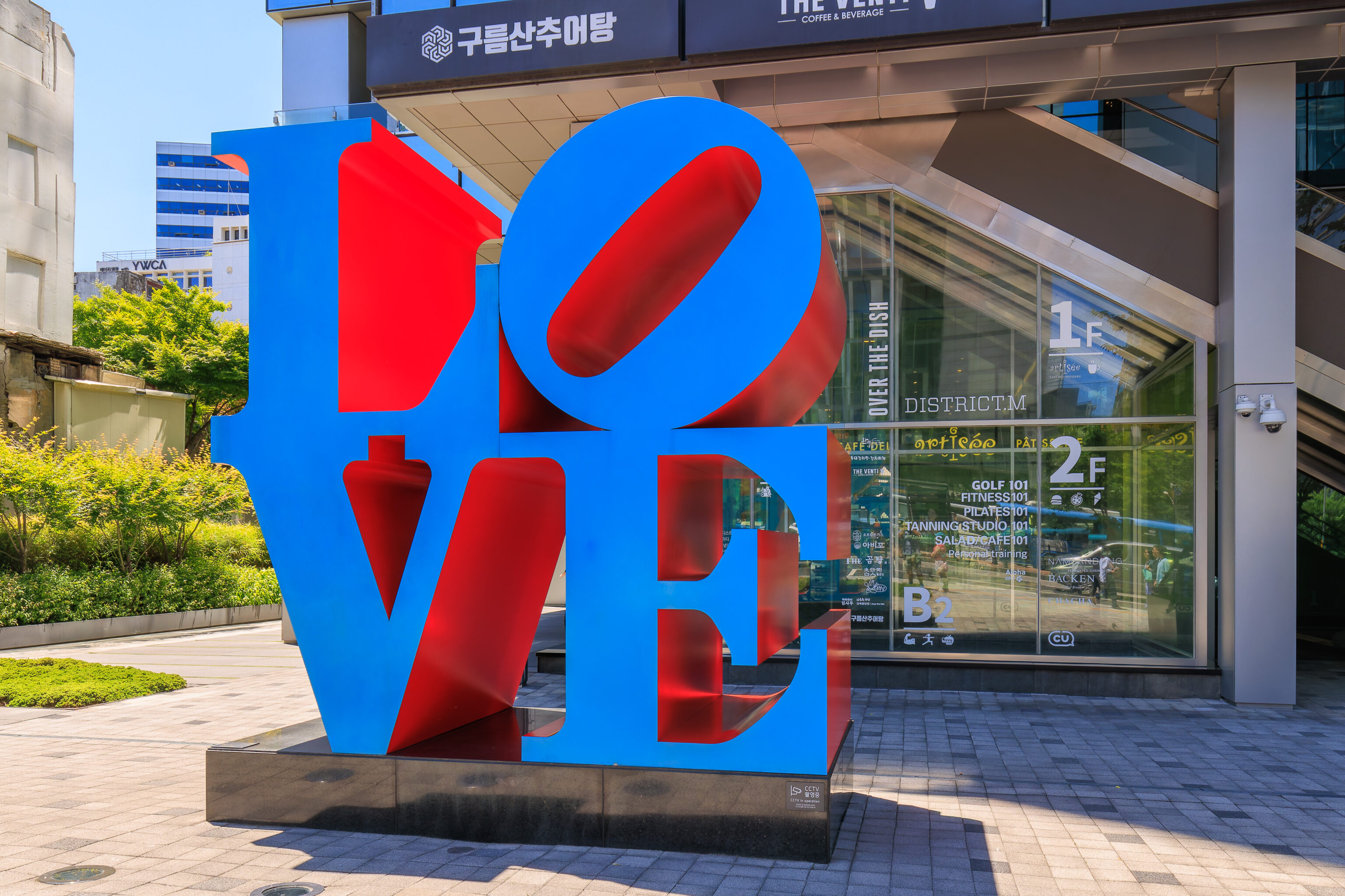
LOVE sculptures are now apparently all over the world. There’s even a Wikipedia page that lists their locations!
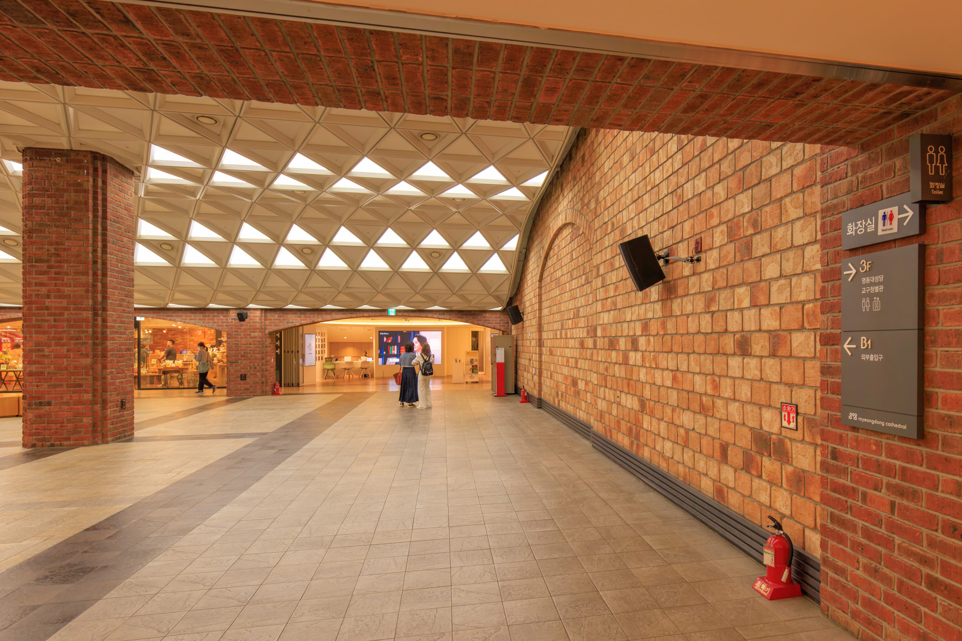
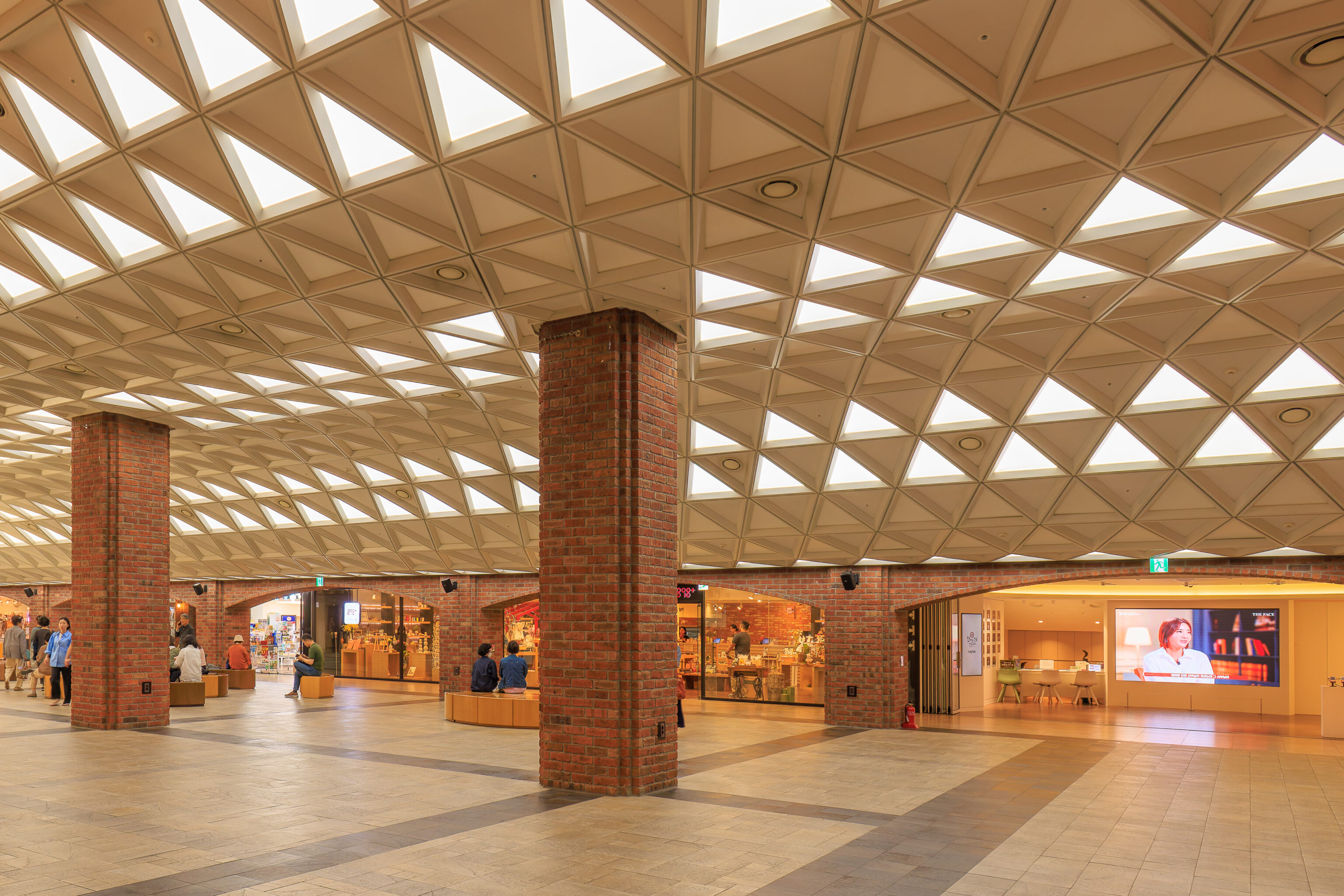
We followed a sign for the Myeongdong Cathedral. But, it actually took us to a tiny underground shopping mall that is more or less below the cathedral!
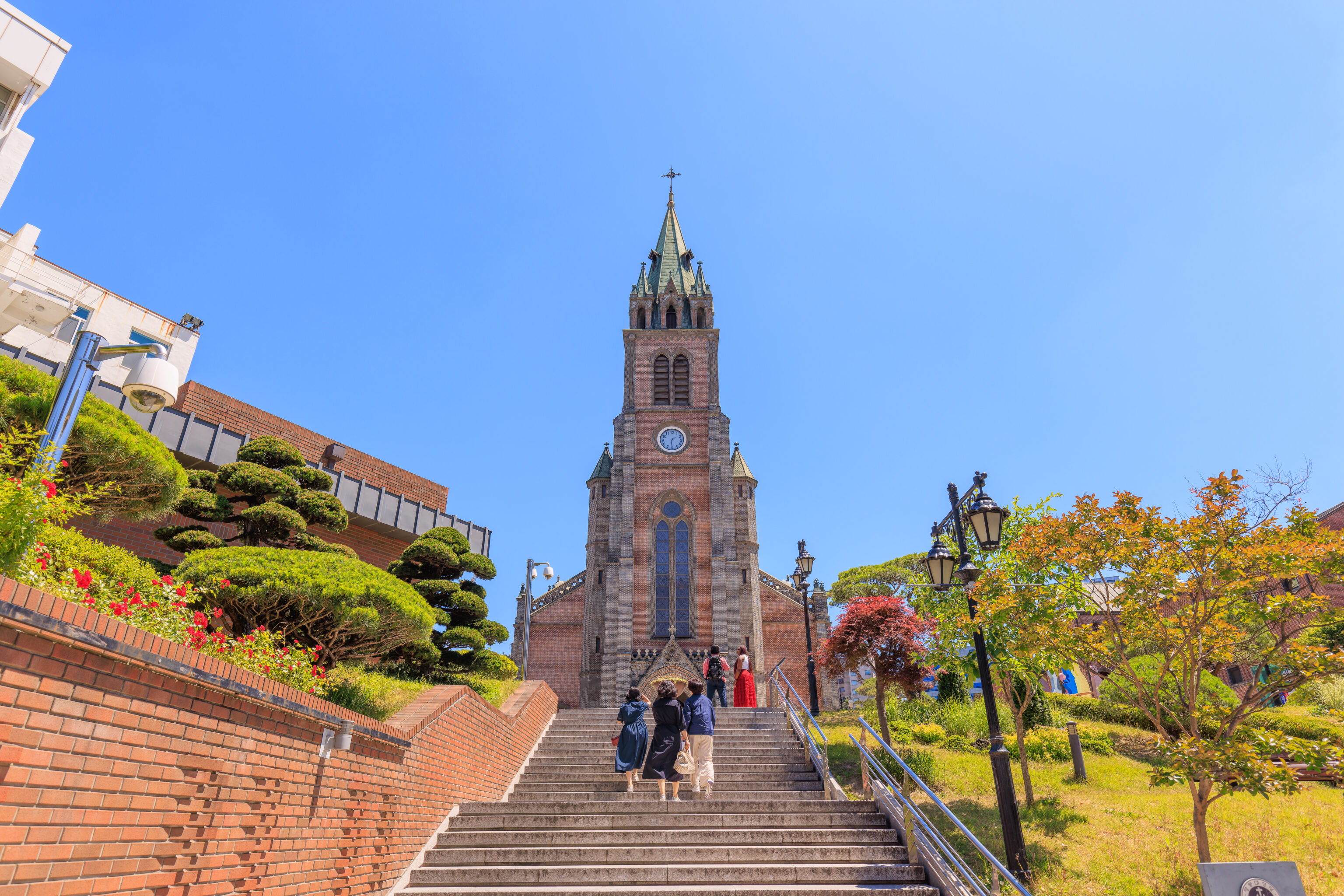
We soon found it though!
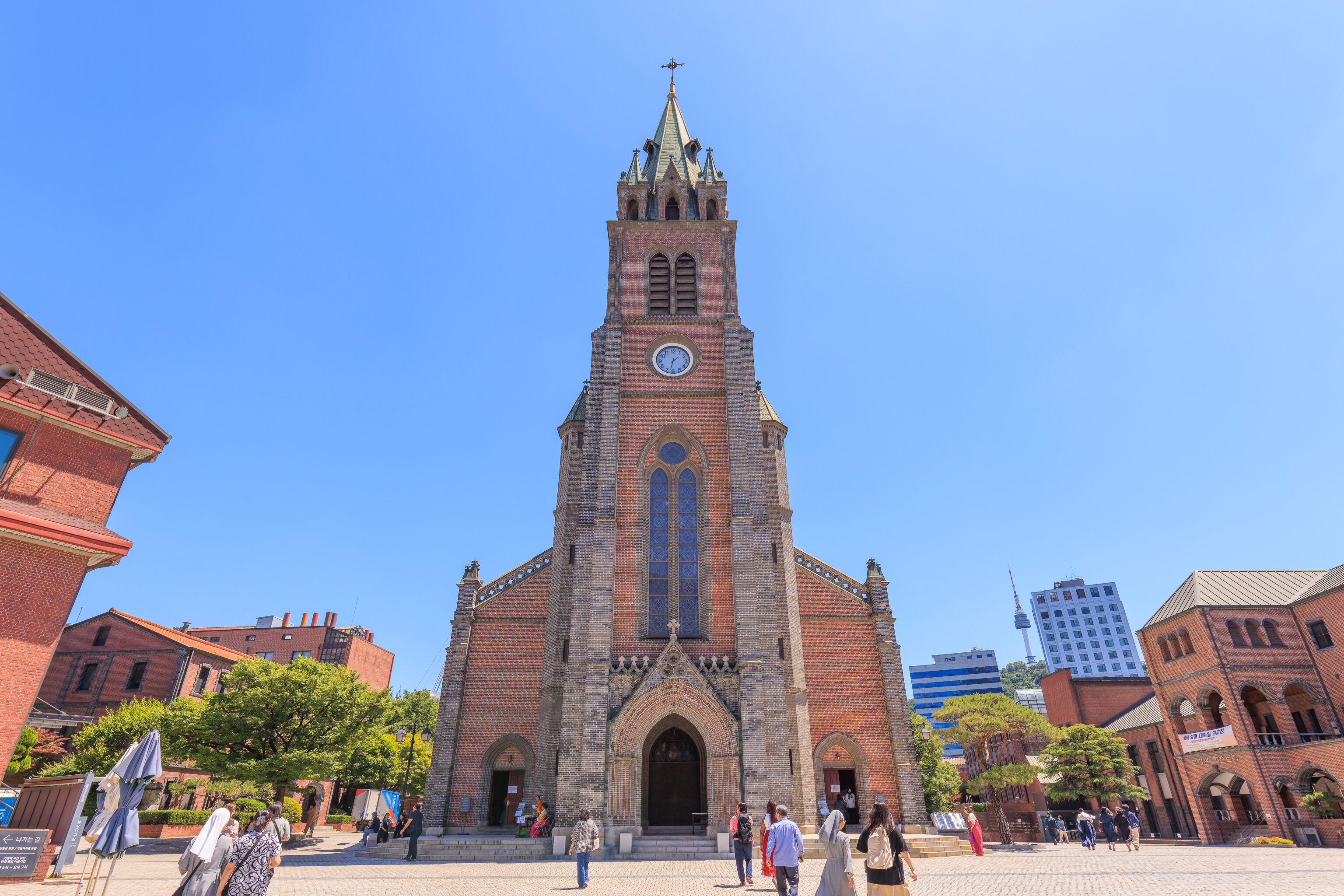
There were services going on at the time so we didn’t try to go in to take a look. A sign nearby talks about the history of this building:
Designation No.: Historic Site No. 258

Myeongdong Cathedral is the central church of the Archdiocese of Seoul and is the first Korean Catholic parish church. The cathedral stands on a historical site which belonged to Myeongnyebang, where the early Korean Catholic communities were located. And it was also near Dorumulgol (now Sogong-dong) where Father Andrew Kim Tae-gon, the first Korean priest, actively spread the Catholic faith when he returned home from China in 1845.

This beautiful western Gothic cathedral was designed by Father E. J. G. Coste, a French missionary priest dispatched to Korea by the Society of Foreign Missions of Paris. And it has been the home of the Catholicism in Korea since its foundation in 1898. The land purchase for the church began in 1883 but it took more than 15 years to complete the entire construction due to the conflict between the Korean Catholic community and the government over the interpretation of the building site based on Pungsu (or feng shui) belief as well as the outbreak of the First Sino-Japanese War (1894-95). The construction started in 1892 with the financial support from the Paris Foreign Missions Society as well as active participation by the local Catholics who voluntarily offered their labor. The cathedral is a symbol of the freedom of faith acquired through a long period of persecution, a shelter for marginalized and poor people and the Korean democracy movement.

One of the oldest western-style brick buildings in Korea, the Seoul Archdiocesan Catholic History Museum, located in the cathedral area, was constructed earlier than the main building of the cathedral in 1890. It was originally used as a residence of the bishops and administrative offices until it opened as a museum on June 28, 2018. The museum shows the history of the transition from the birth of the Catholic Church in Korea to the present Archdiocese of Seoul through a variety of historical relics and materials.
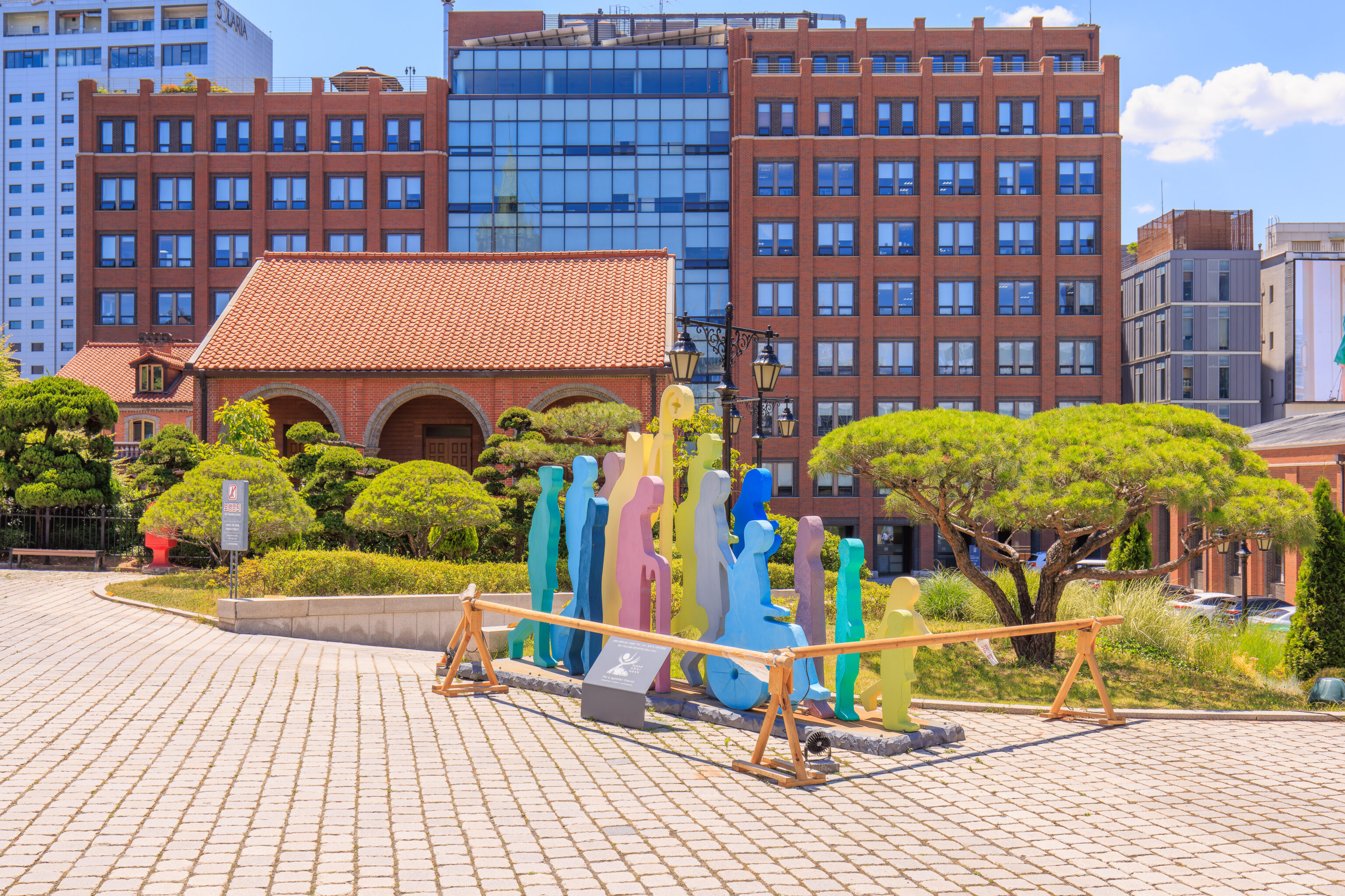
This sculpture of people of various shapes, sizes, and colors, is for Synod 2021-2024. This is apparently the 16th Ordinary General Assembly of the Synod of Bishops. We don’t really know what a synod really is but it seems to have something to do with the upper management of the Catholic Church.
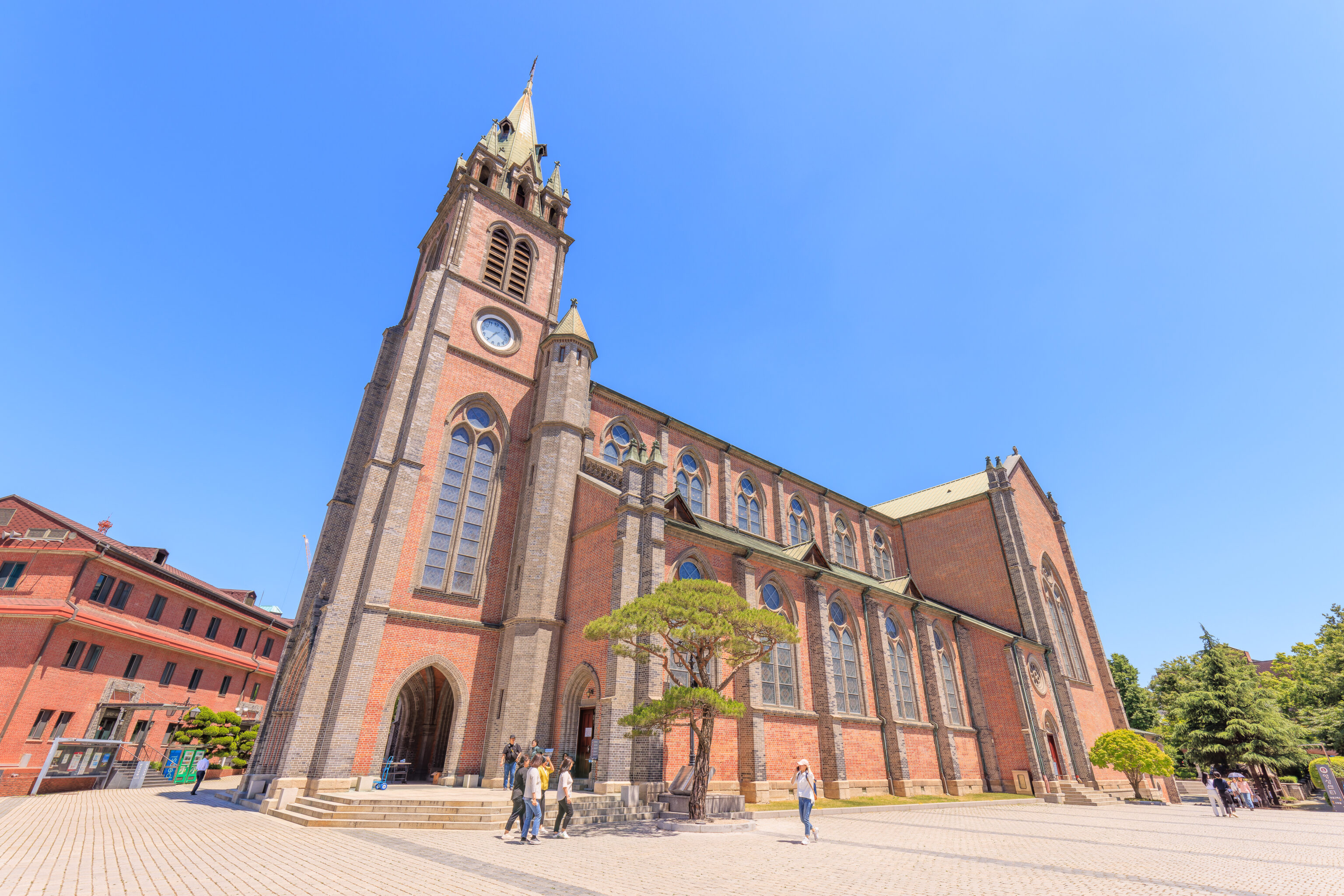
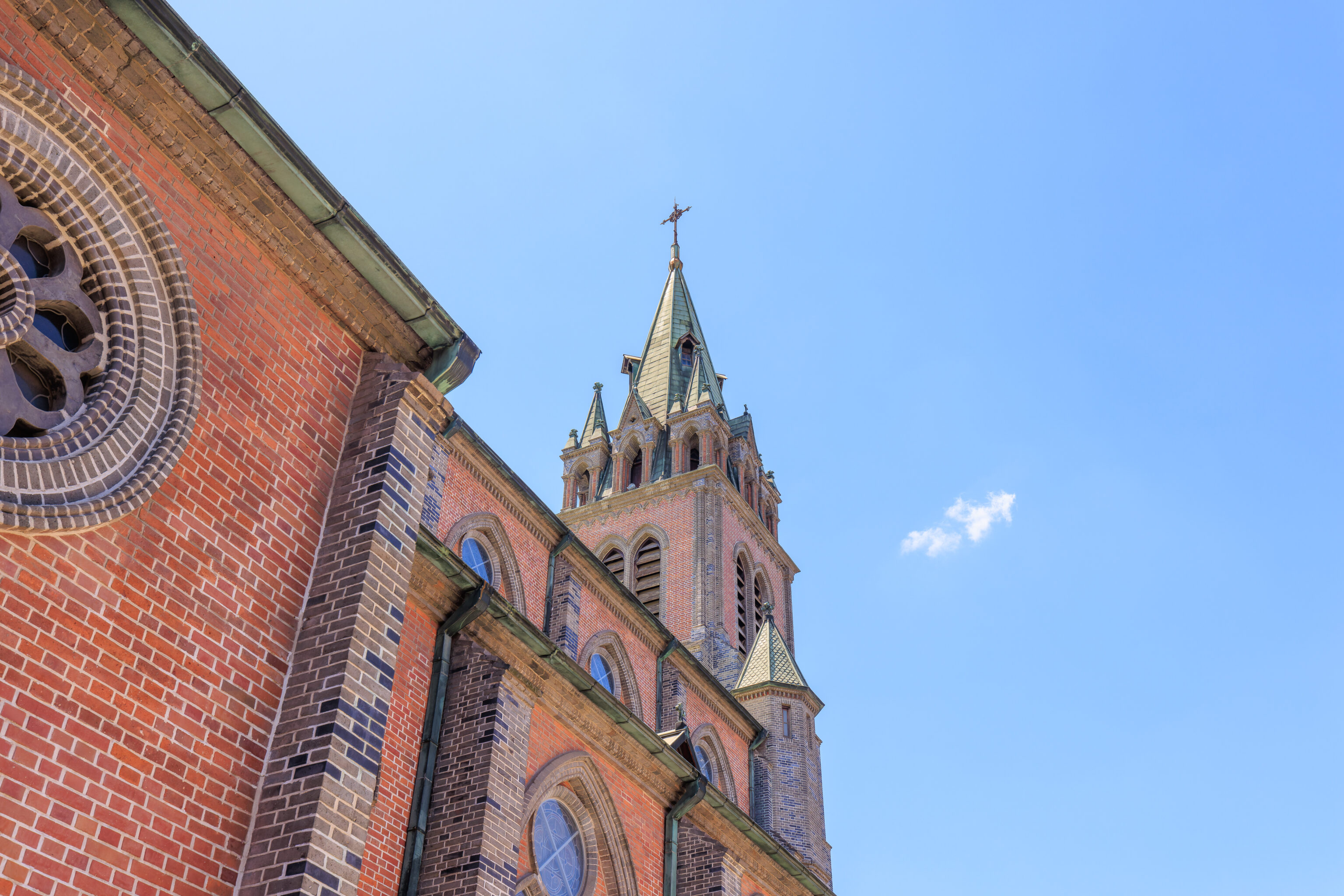
While the cathedral here is styled like a historic European church, it has more of a modern and simple appearance.
We could see the N Seoul Tower again as we walked to the back side of the cathedral via its west side.
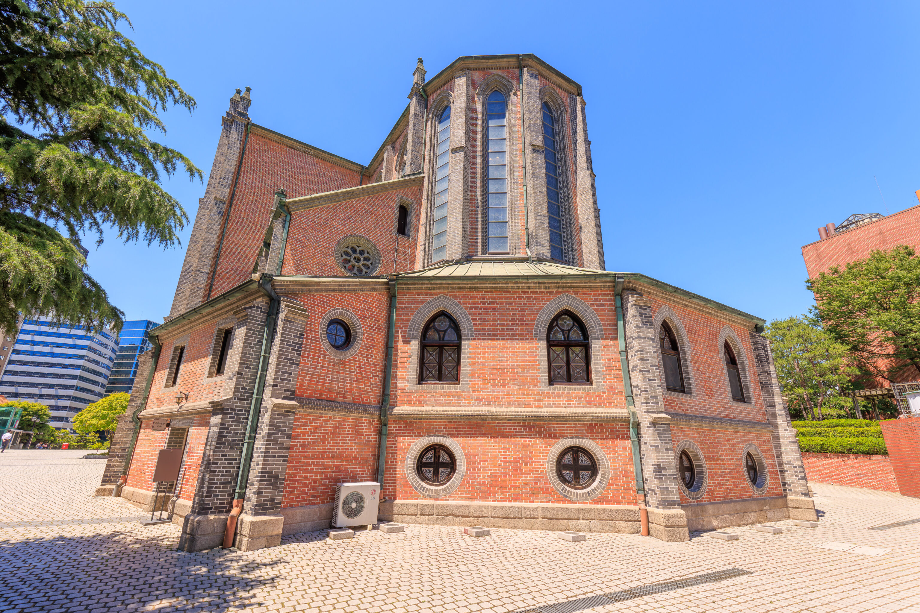
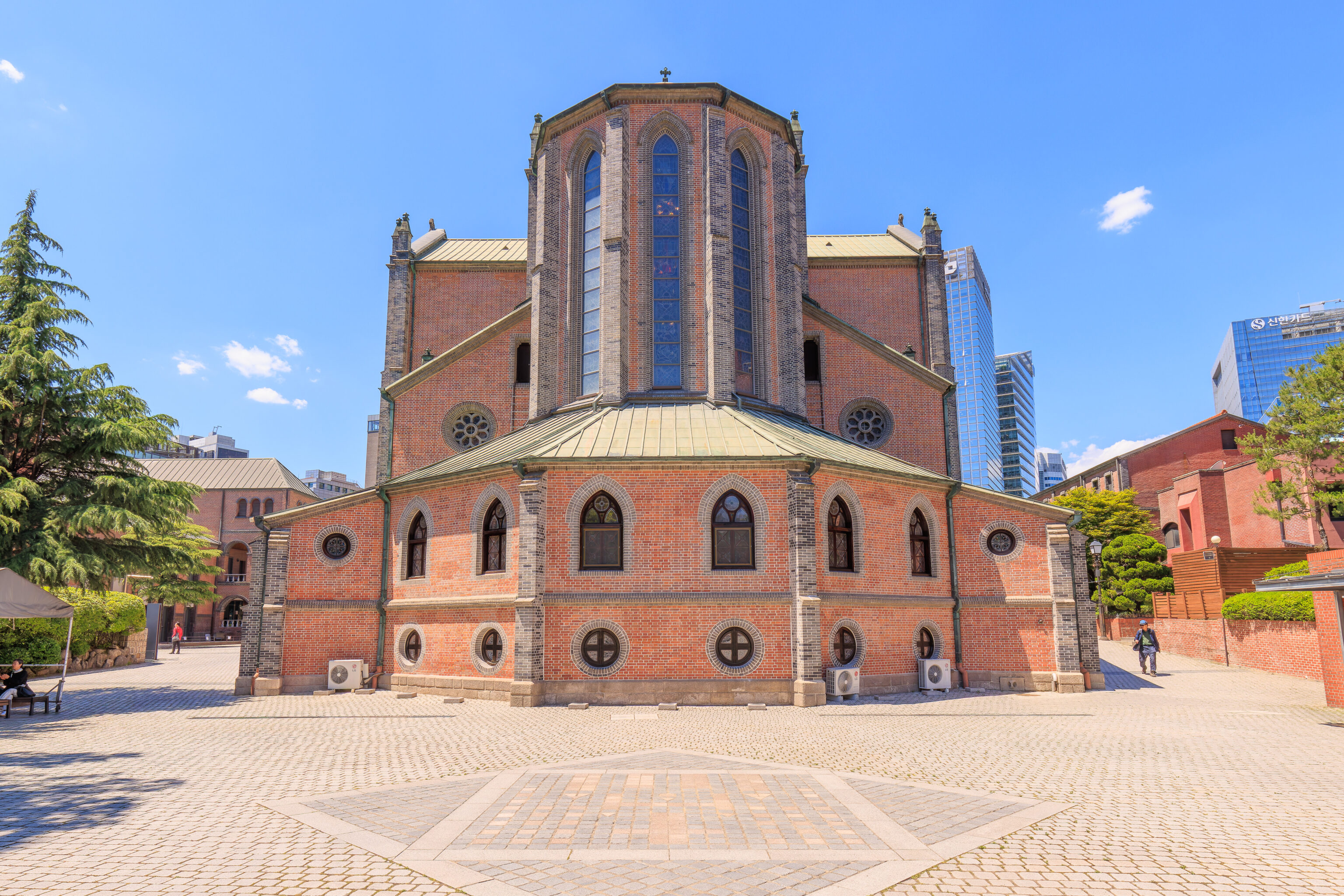
The rear of the cathedral, as seen from a plaza to the south of the building.
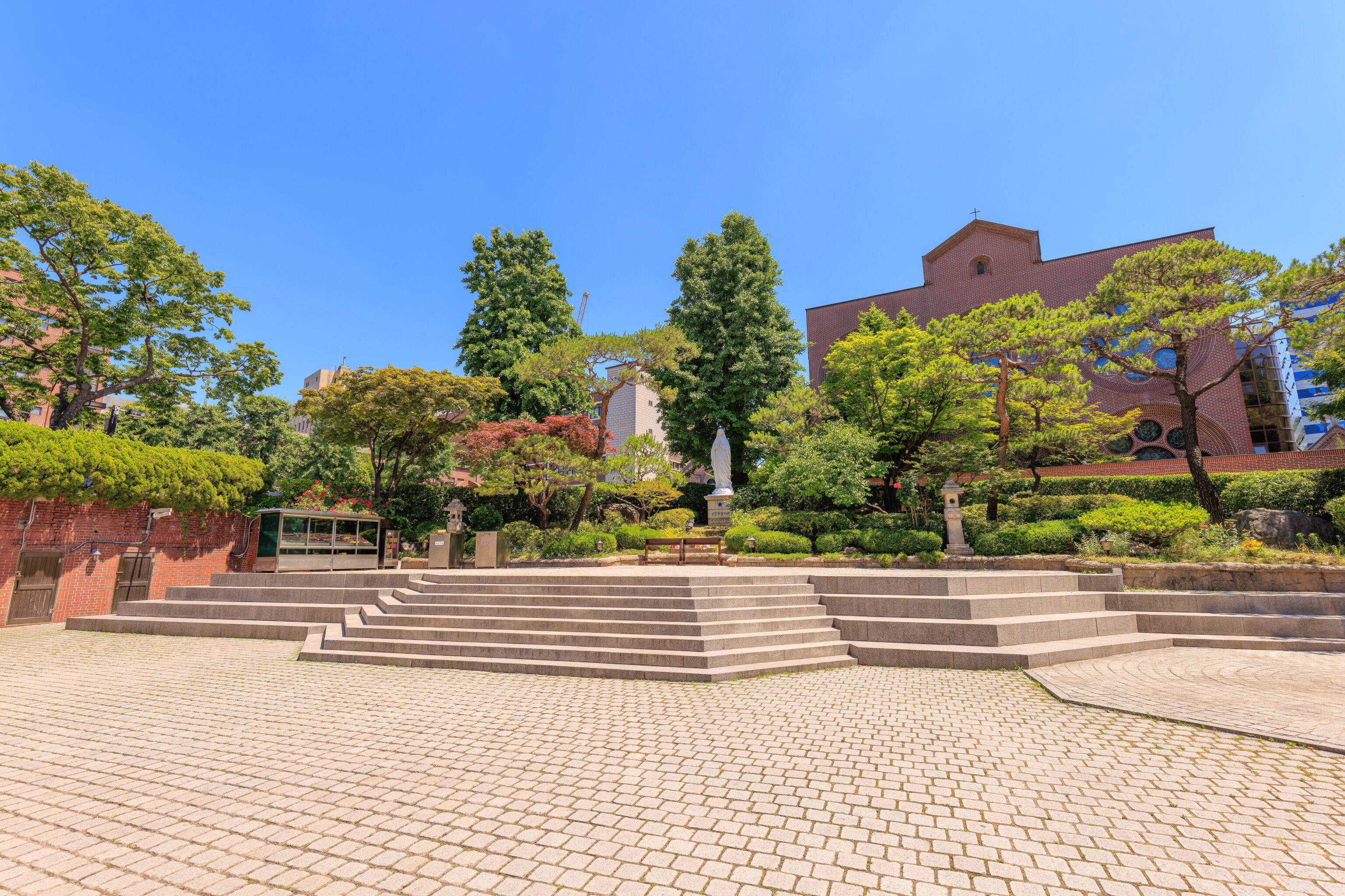
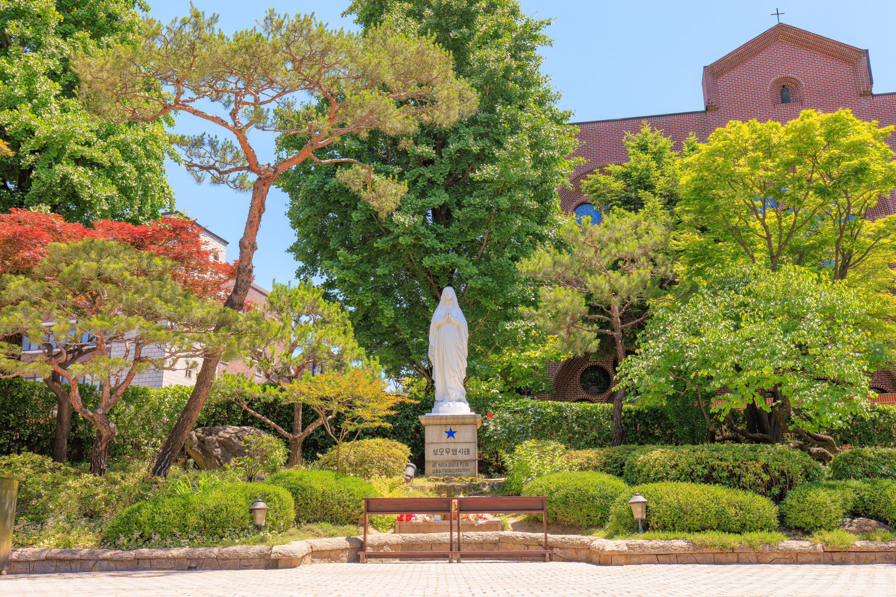
There is a statue of the Virgin Mary on the southern end of the plaza.
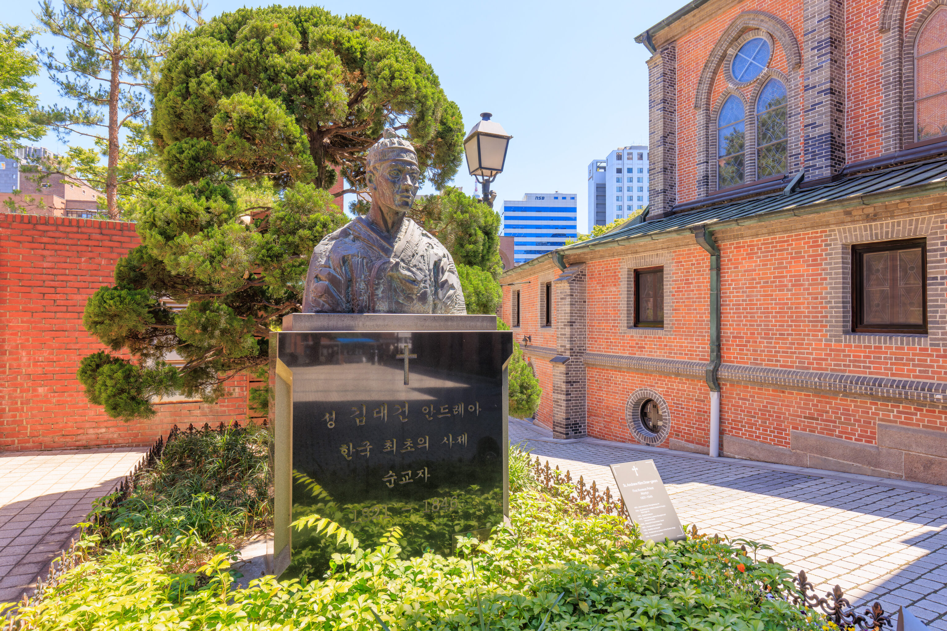
This sculpture is a memorial to St. Andrew Kim Dae-geon. The text reads, translated by Google:
St. Andrew Kim Dae-geon, the first Korean priest and martyr

1821-1846
He is described as a martyr as he was executed during the Joseon Dynasty.
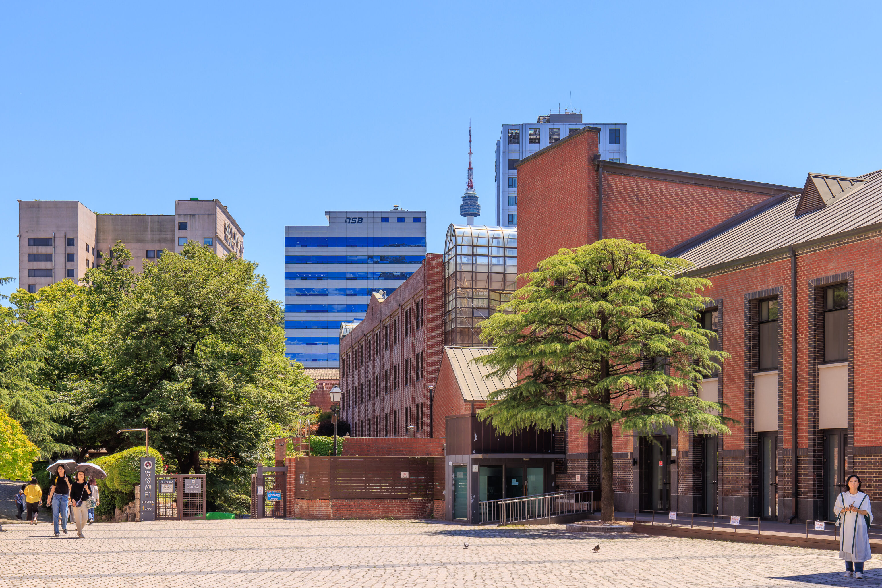
We walked around the east side of the cathedral to return to the front of the building.
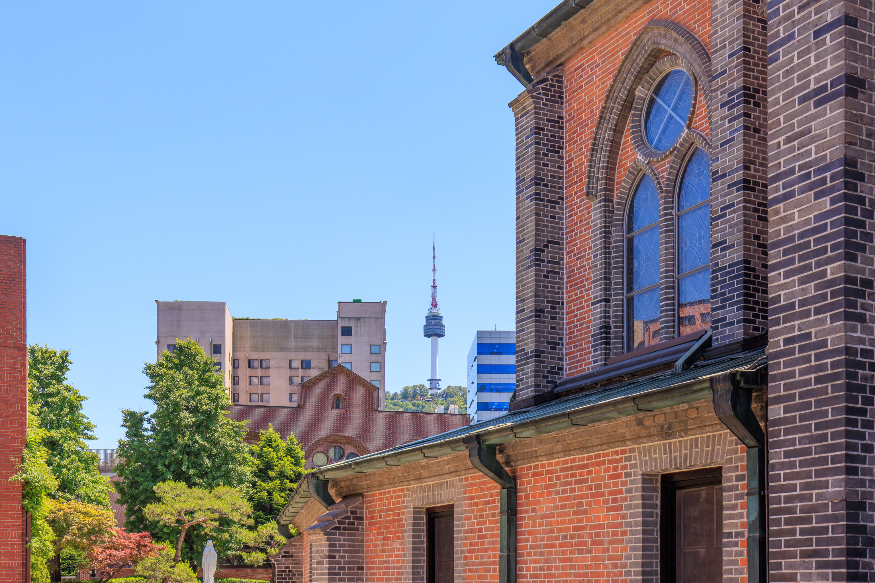
From this perspective, we could see the N Seoul Tower and the cathedral together.
We walked back down to street level and headed to the west to the shopping area of Myeongdong.
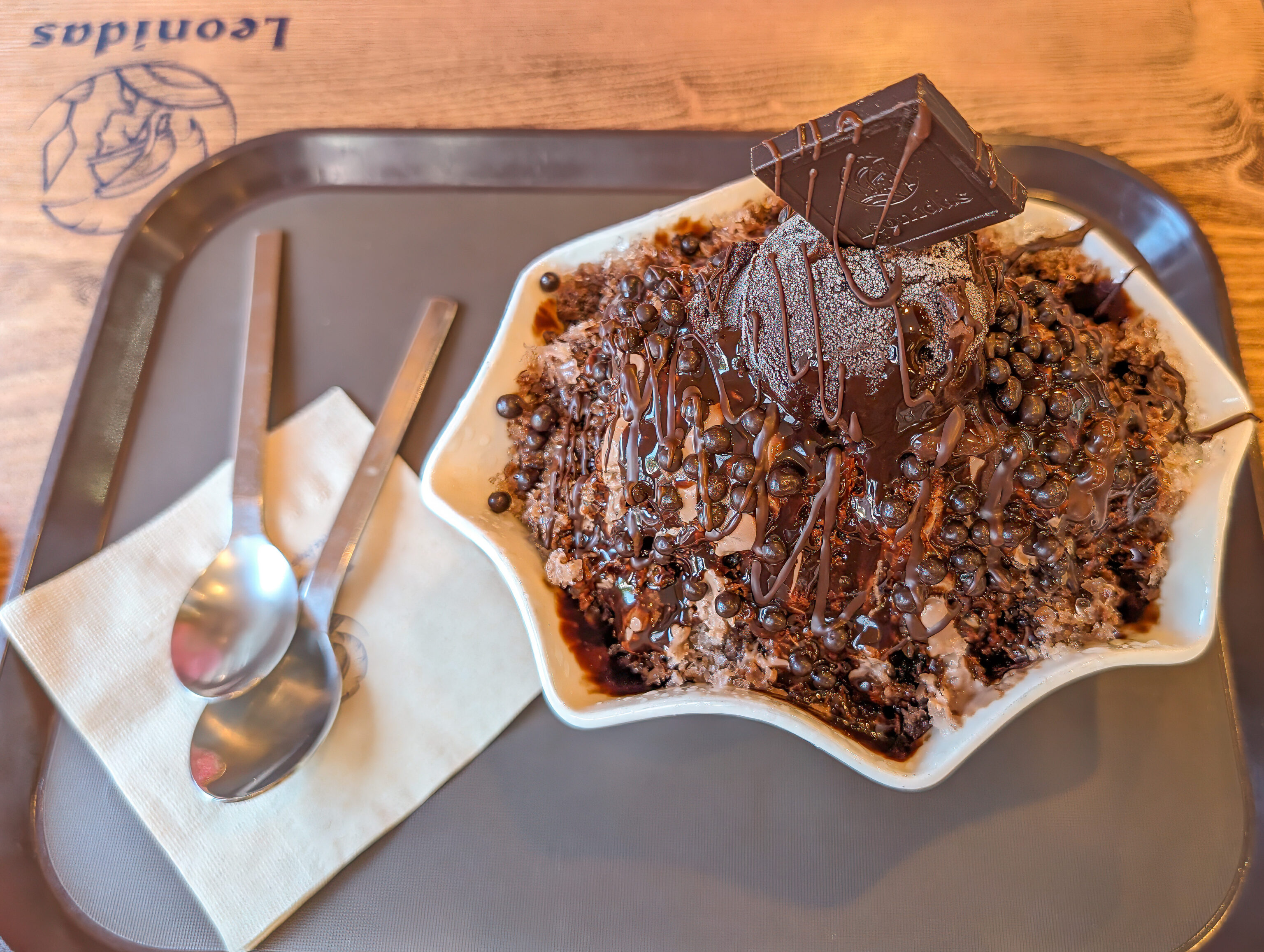
We were a bit surprised to come across a Leonidas shop, the Belgian chocolatier that we first encountered in Belgium. They make excellent chocolate!
We noticed that this shop had chocolate bingsoo so decided to give it a try. The chocolate was great but unfortunately the ice was chunky. It would have been excellent if they had better ice.
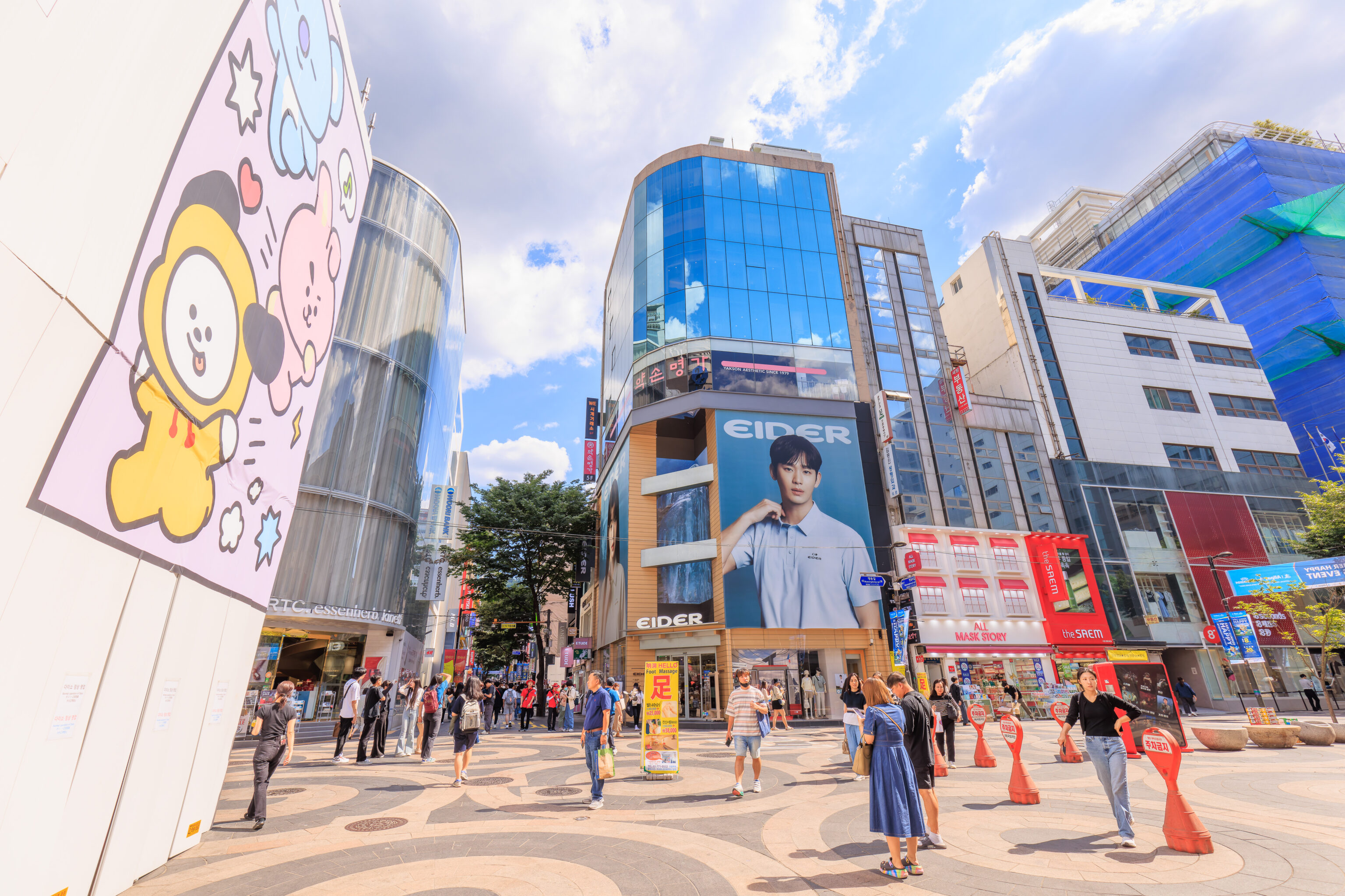
Myeongdong was somewhat busy. The Eider billboard at the center of the frame features Kim Soo Hyun, the actor that plays Baek Hyun-woo in the 2024 K-Drama Queen of Tears.
We ended up visiting a two floor Olive Young store nearby. Olive Young is a Korean beauty store and is everywhere in Seoul. They have quite a variety of products and were selling tons of it!
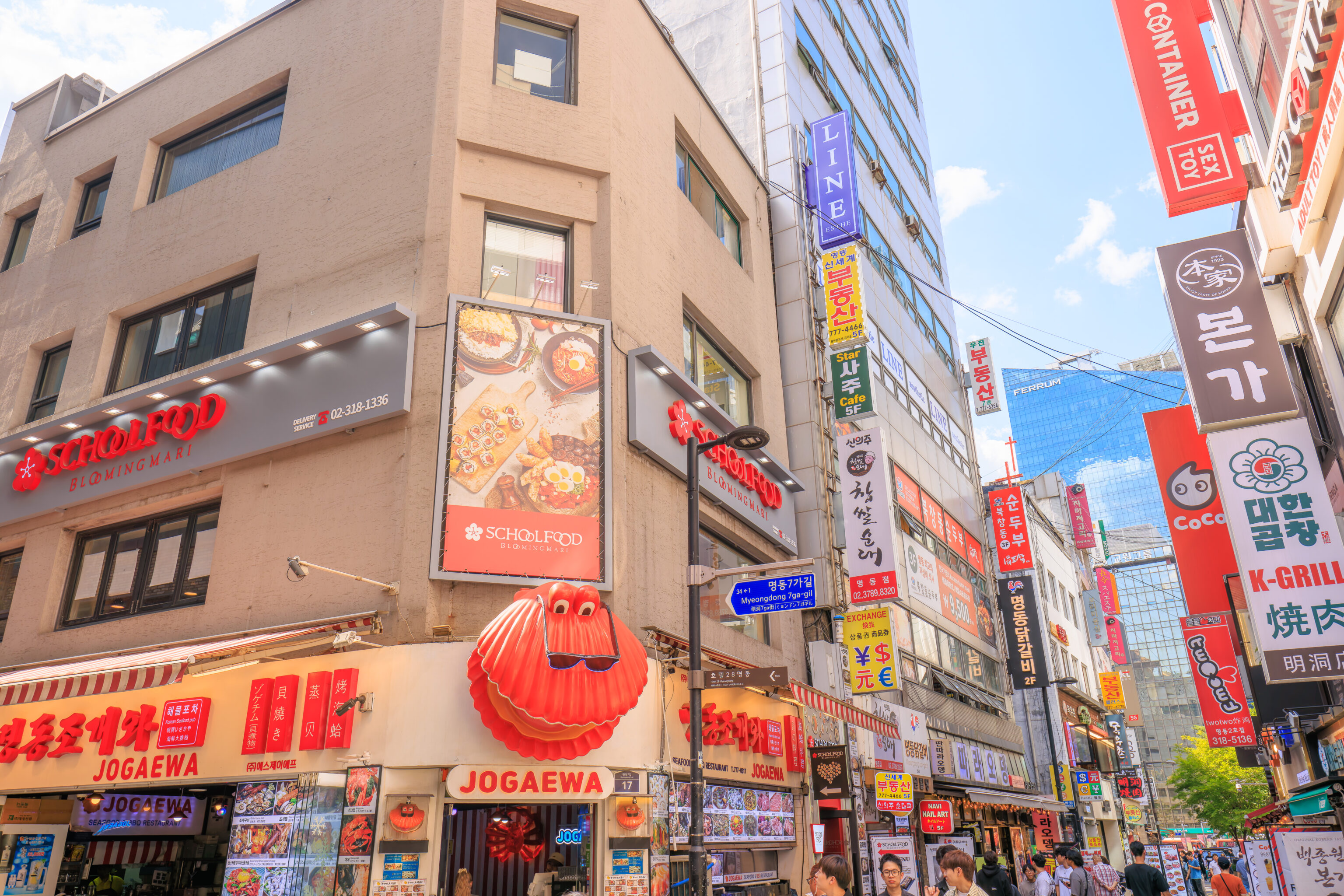
We came across a restaurant called 스쿨푸드 School Food! Is Korean school food better than American school food? Because American school food was pretty terrible, at least where I grew up! This restaurant has a 4.8 rating on Google Maps, though with only 25 reviews. It is also on Naver Map but oddly doesn’t seem to have a rating.
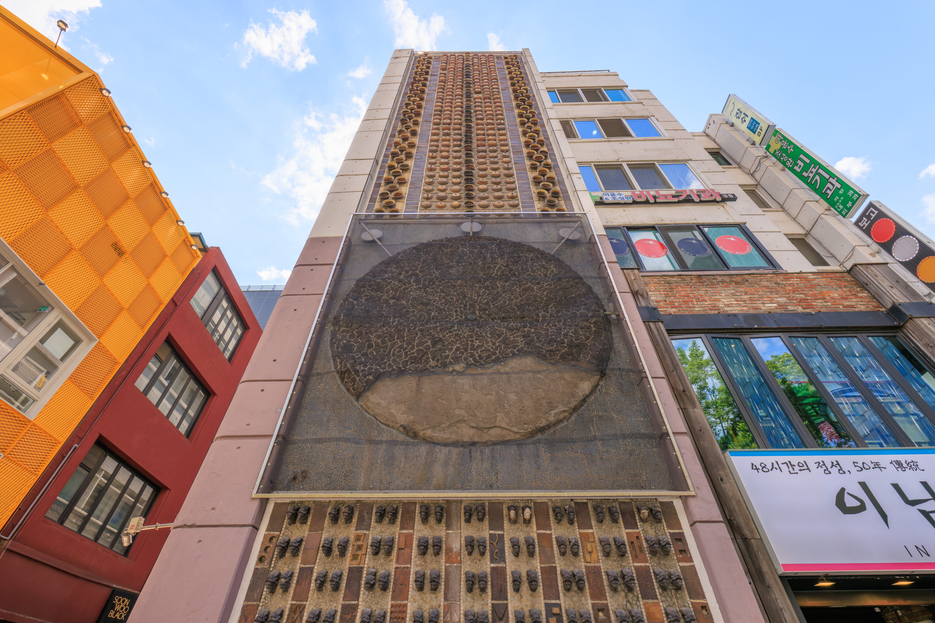
This building definitely looked quite different and interesting! Luckily, there was a sign explaining it:
The building is one of the exposed concrete structures designed by famed architect Kim Swoo-geun that was completed in 1964, It is divided into three sections gradually pushed back along the land's boundary, which offers an impressive vertical element on the right side of the building. The patterns of a ceramic sculpture covering the building's front on the left and the texture of exposed concrete merge to present intense artistic features.
Hongdae
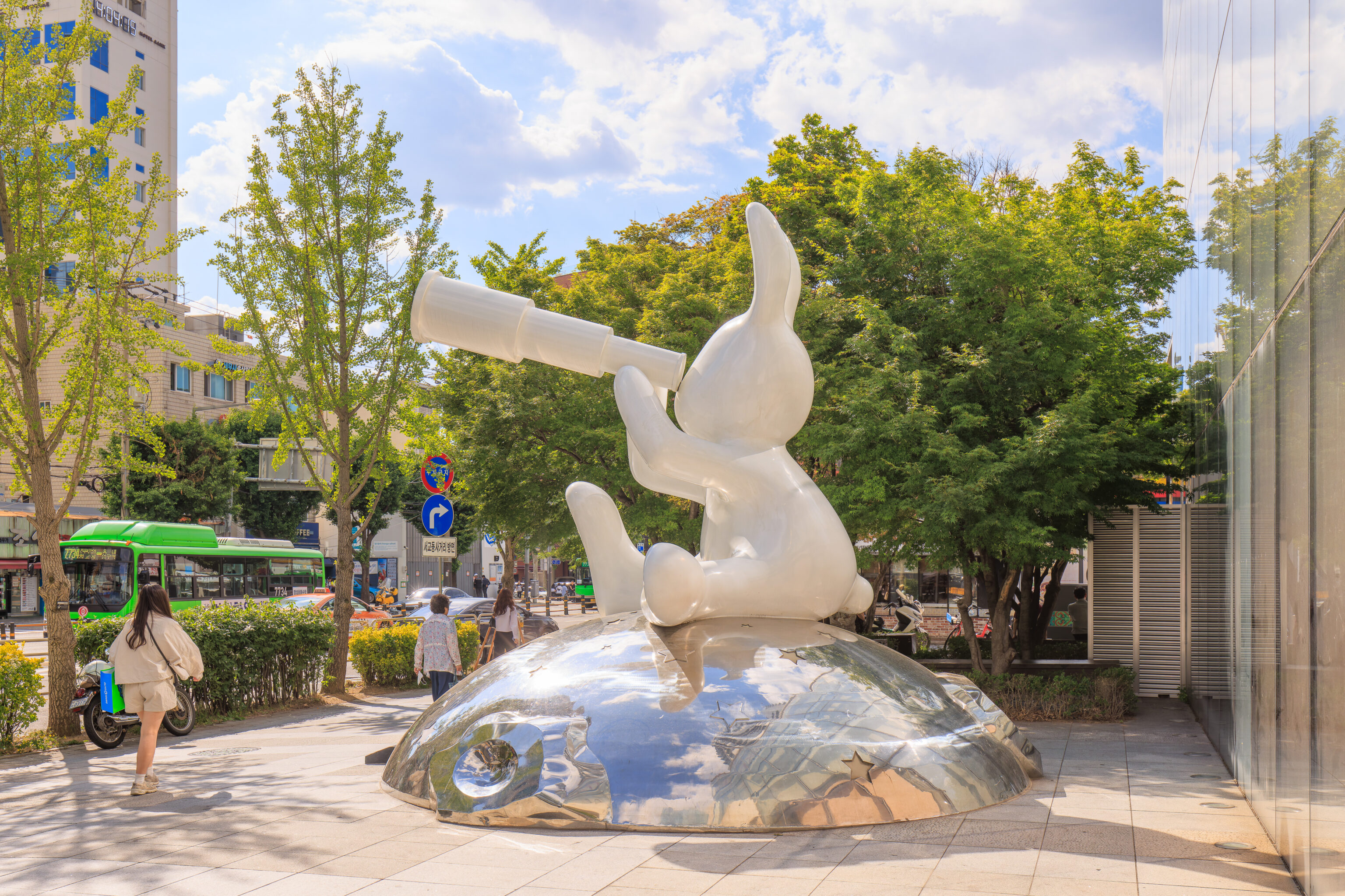
We returned to Hongdae fairly in an attempt to beat rush hour, walking by the bunny next to the LINE Friends store around 4:05pm.
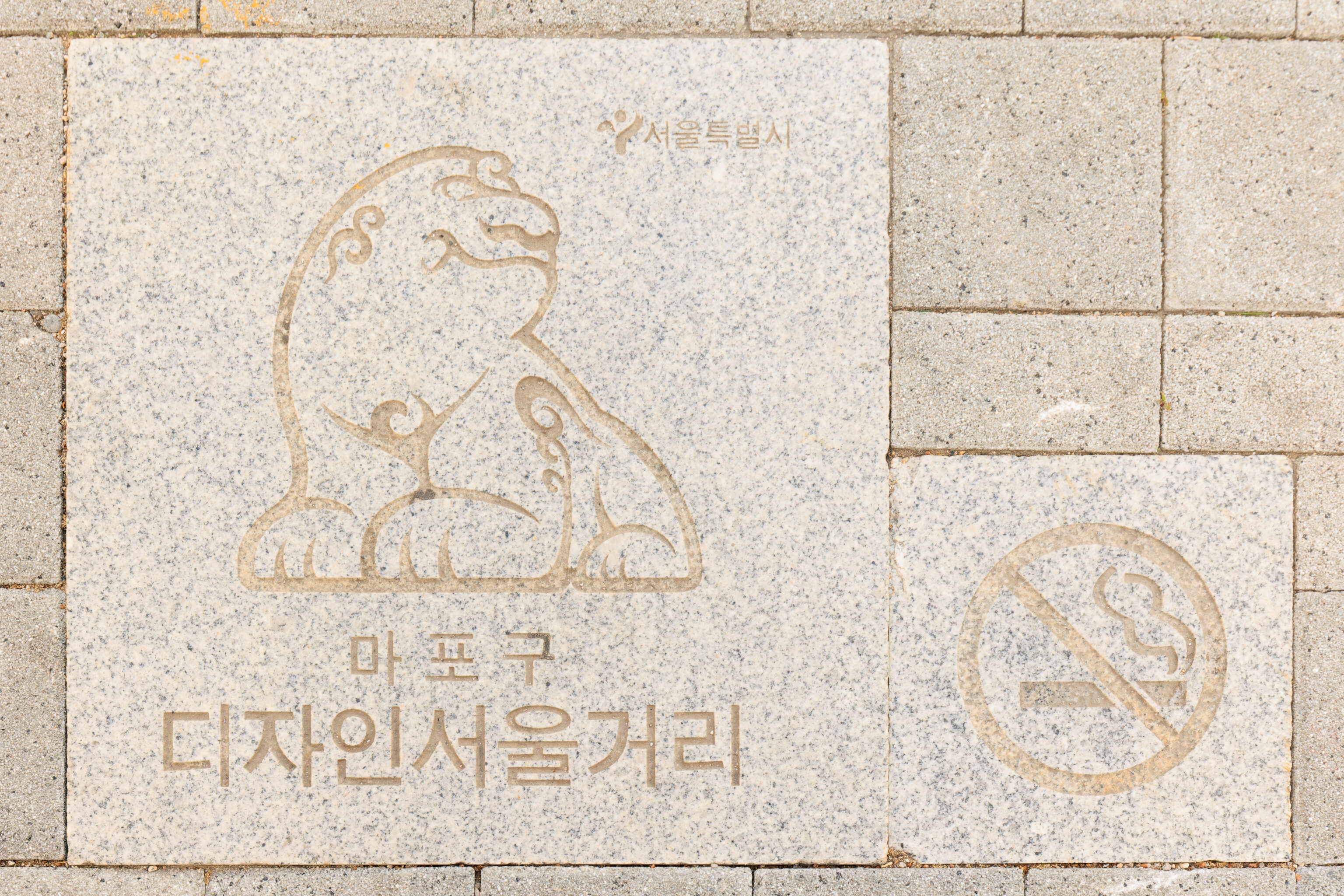
This tile on the ground features a drawing of a haetae, a mythical Chinese creature. The text seems to translate to “Mapo-gu Design Seoul Street,” Mapo-gu being the district that contains the Hongdae neighborhood.
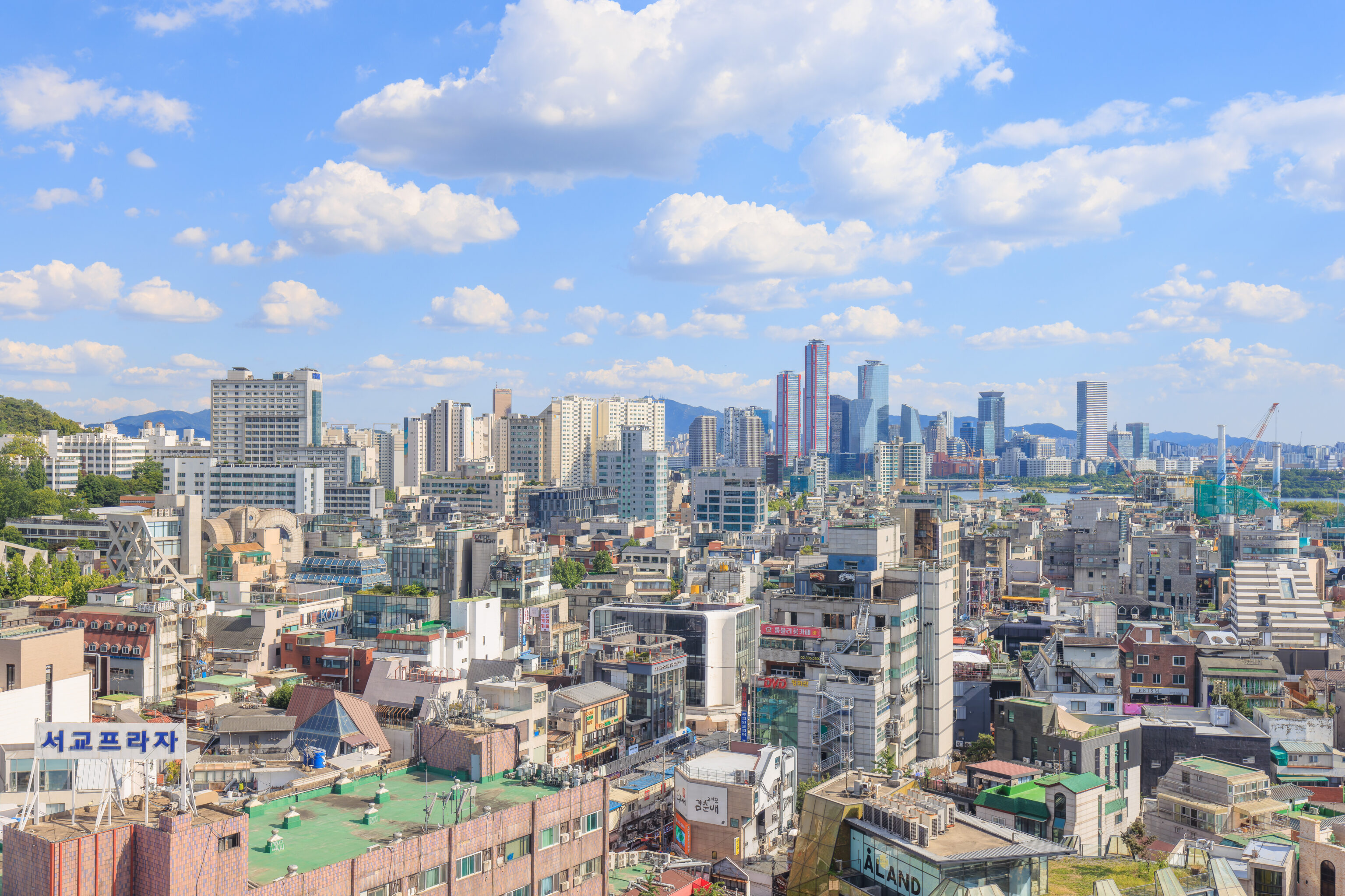
We had a nice afternoon view from our room in the RYSE. We could clearly see the office towers on Yeouido.
Seonyudo Park
It was still relatively early so we decided to take a quick trip somewhere nearby. We took a bus southwest to 선유도공원 Seonyudo Park, located on Seonyudo, an island in the Han River. The island is on the same road as the RYSE.
Seonyudo Park is a former water filtration plant that was converted to park, opening in 2002. A sign describes the history of the island that now contains this park:
Seonyudo Park, known as Seonyubong (Peak) long ago, was one of the famous places that formed the beautiful scenery of the Hangang (River). After the great floods of 1925, rocks were collected from Seonyubong in order to build banks along the Hangang (River), leading to the gradual degradation of Seonyubong.

Seonyudo ultimately lost its former scenic appearance as a result of the construction of Yanghwadaegyo (Bridge) in 1965, and the establishment of the Seonyu Water Purification Plant in 1978.

Fortunately, in 2001, the water purification plant in Seonyudo was moved and integrated into the Gangbuk Water Purification Plant and Seonyudo was transformed into a park in April 2002.

The structures and buildings of the water purification plant were renovated to create a place where visitors can relax and take in the beauty and history of the natural surroundings.

Now, Seonyudo will be reborn as nature reasserts itself, creating a green island of trees just as it used to be, promising a future of harmony rather than one of destruction.
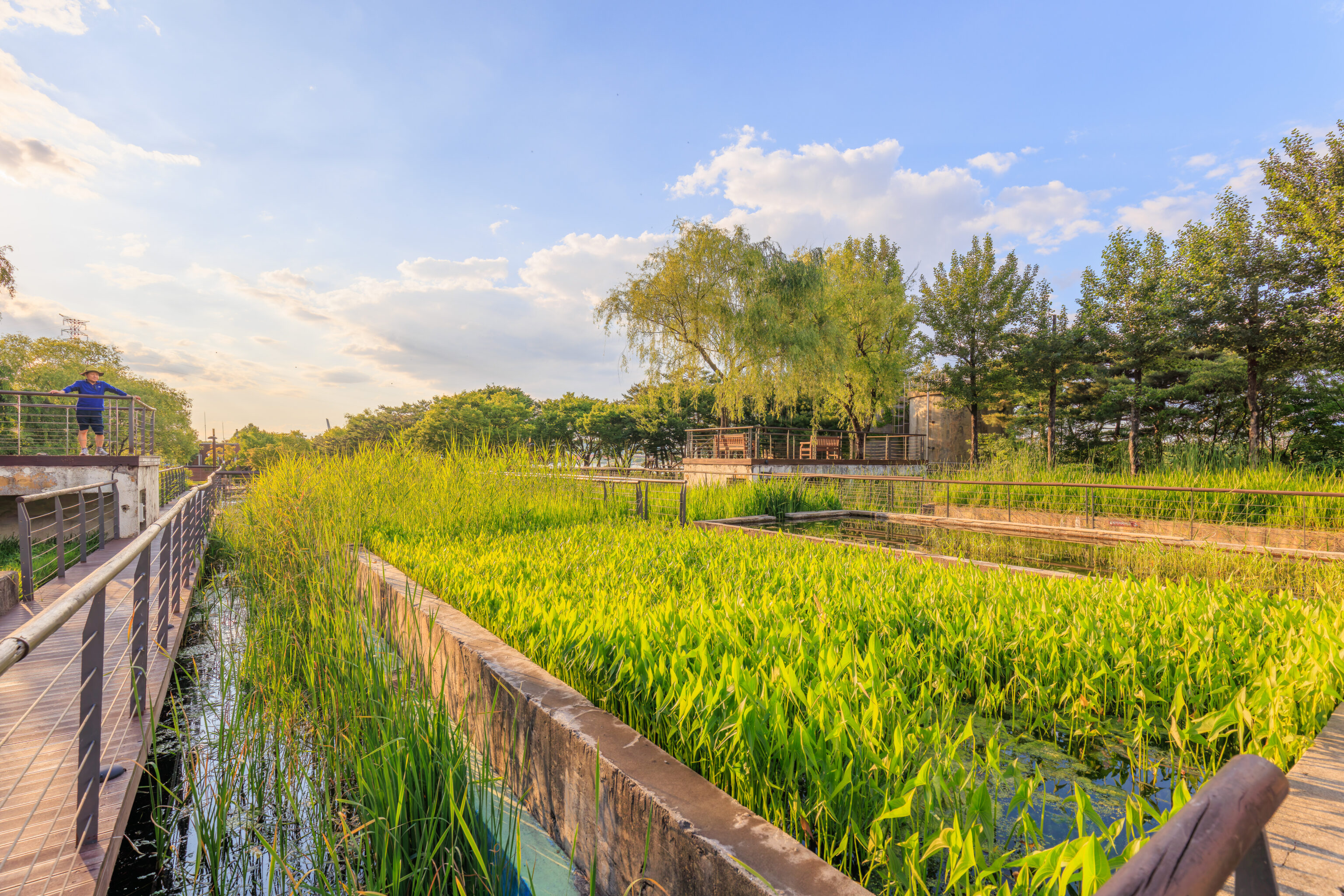
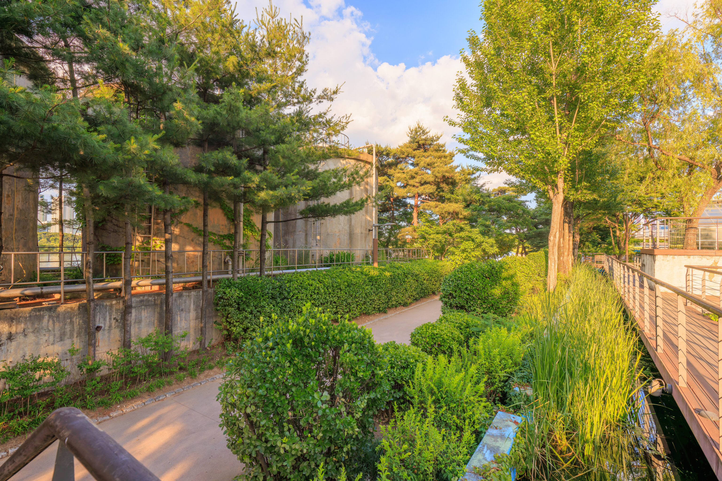
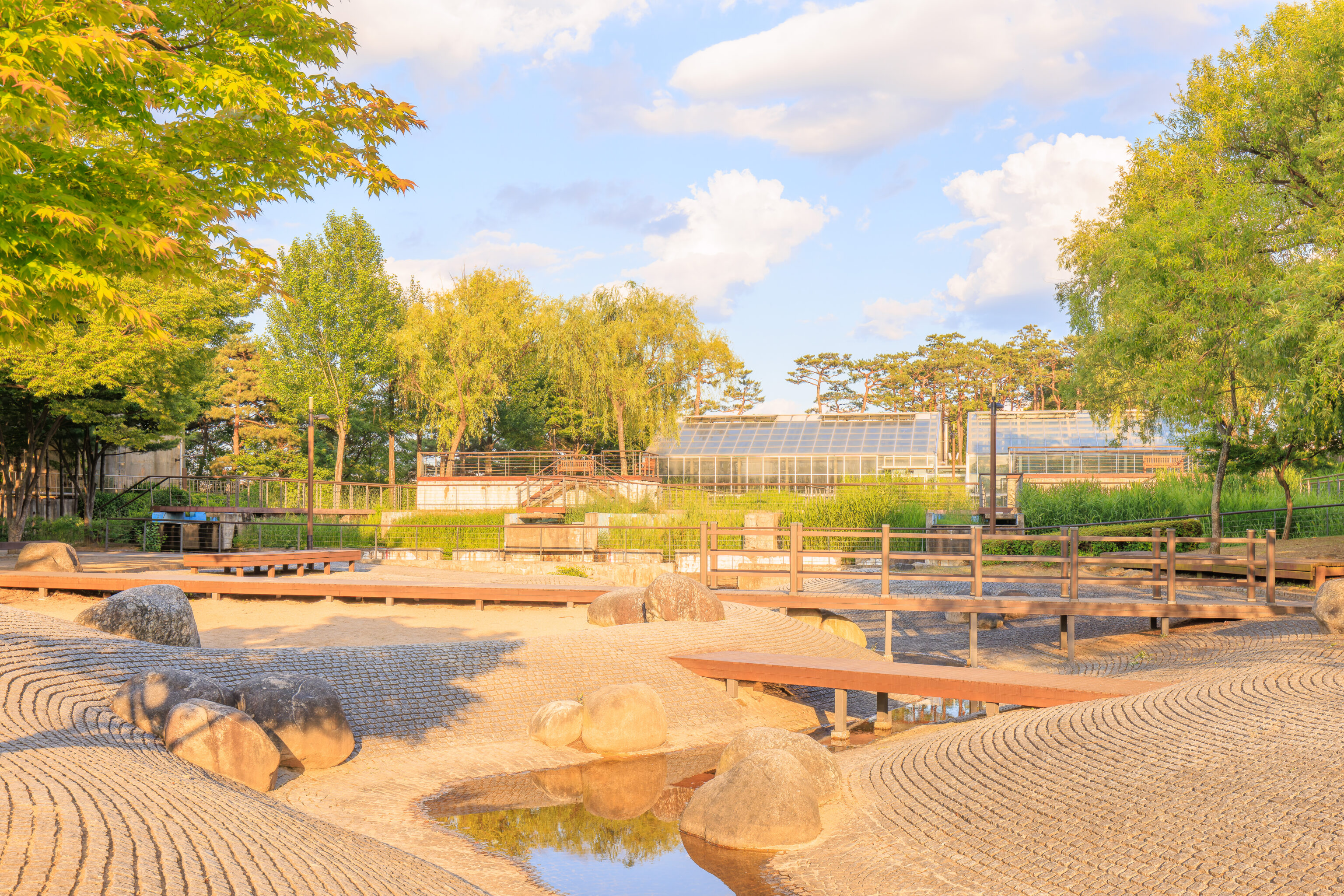
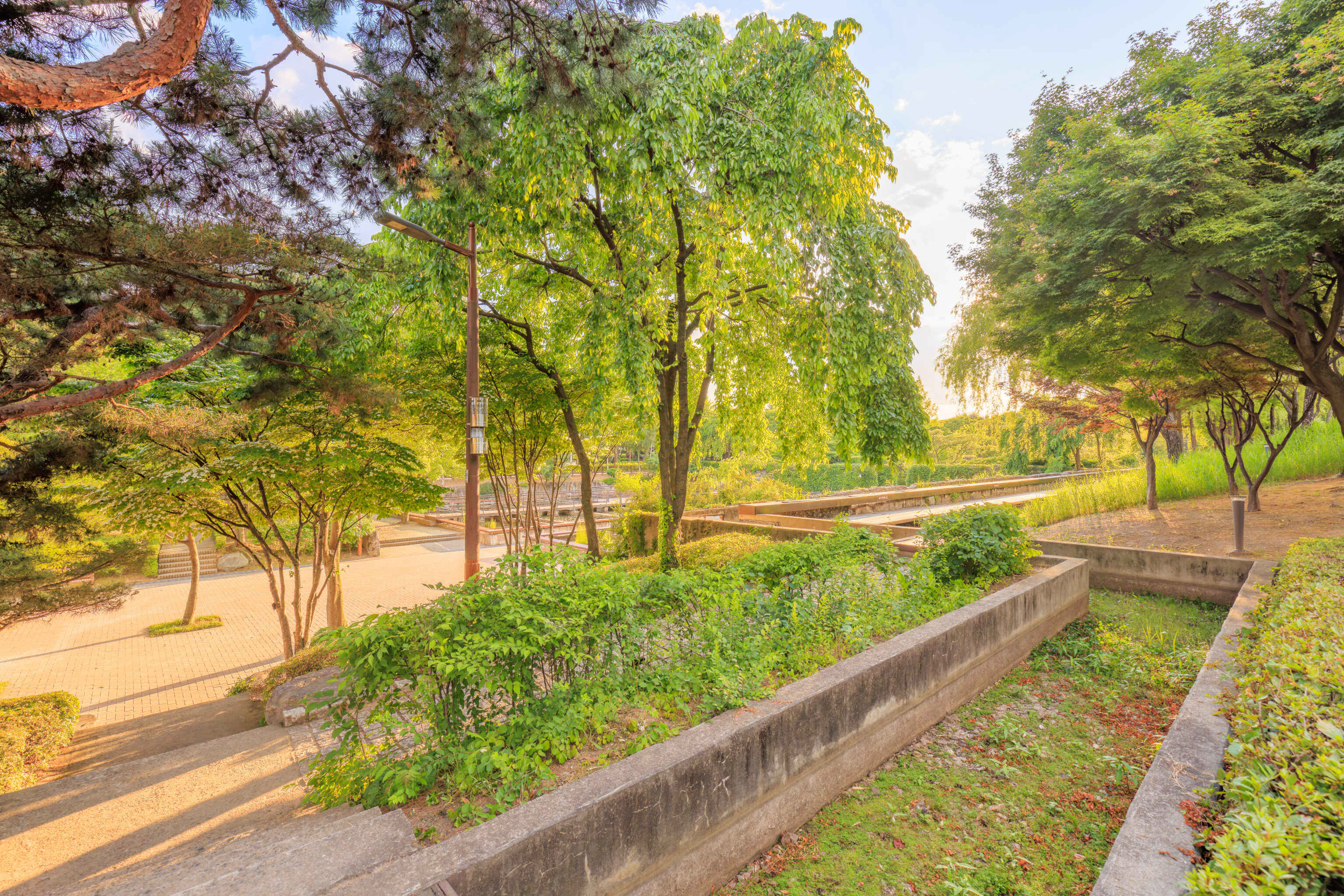
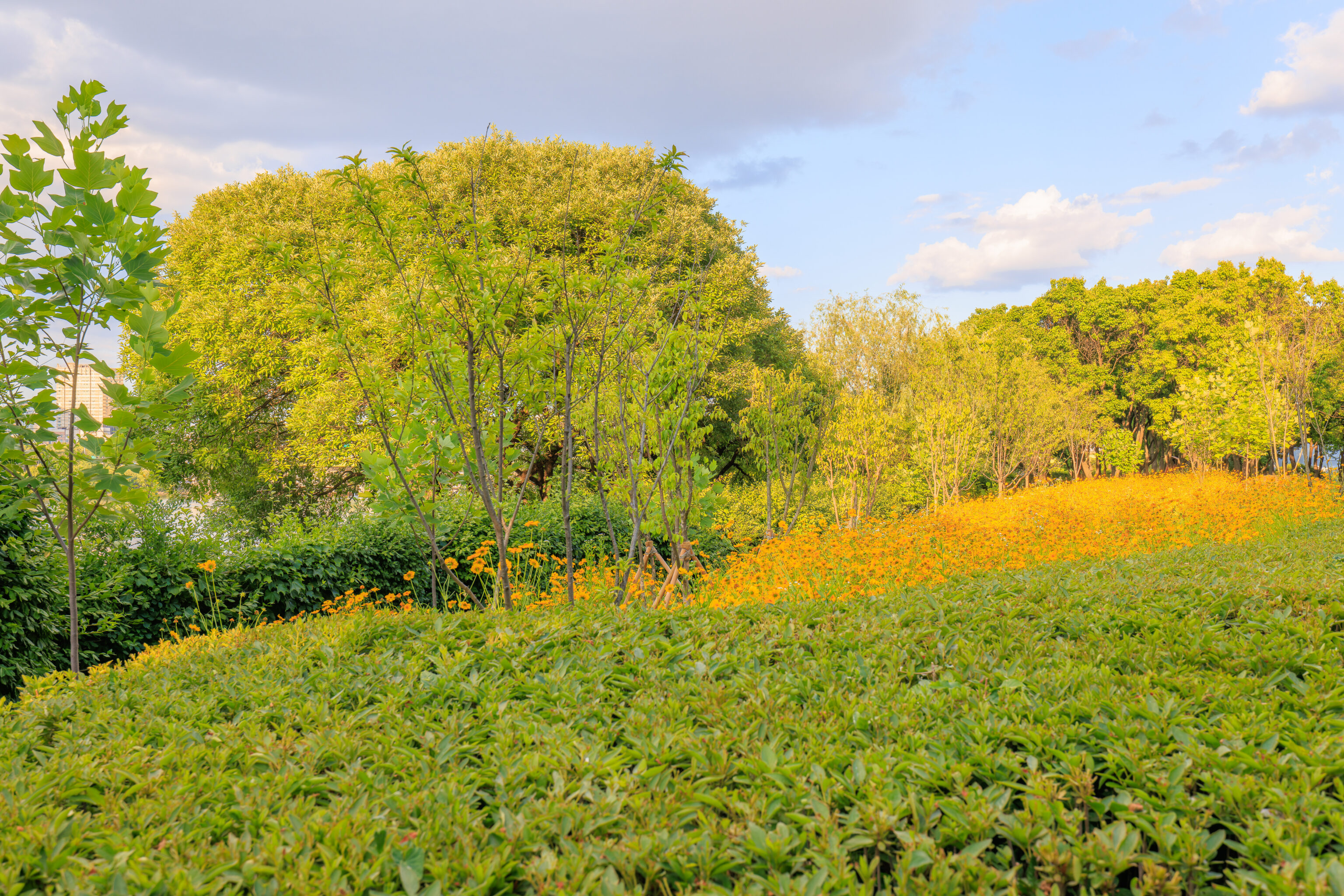
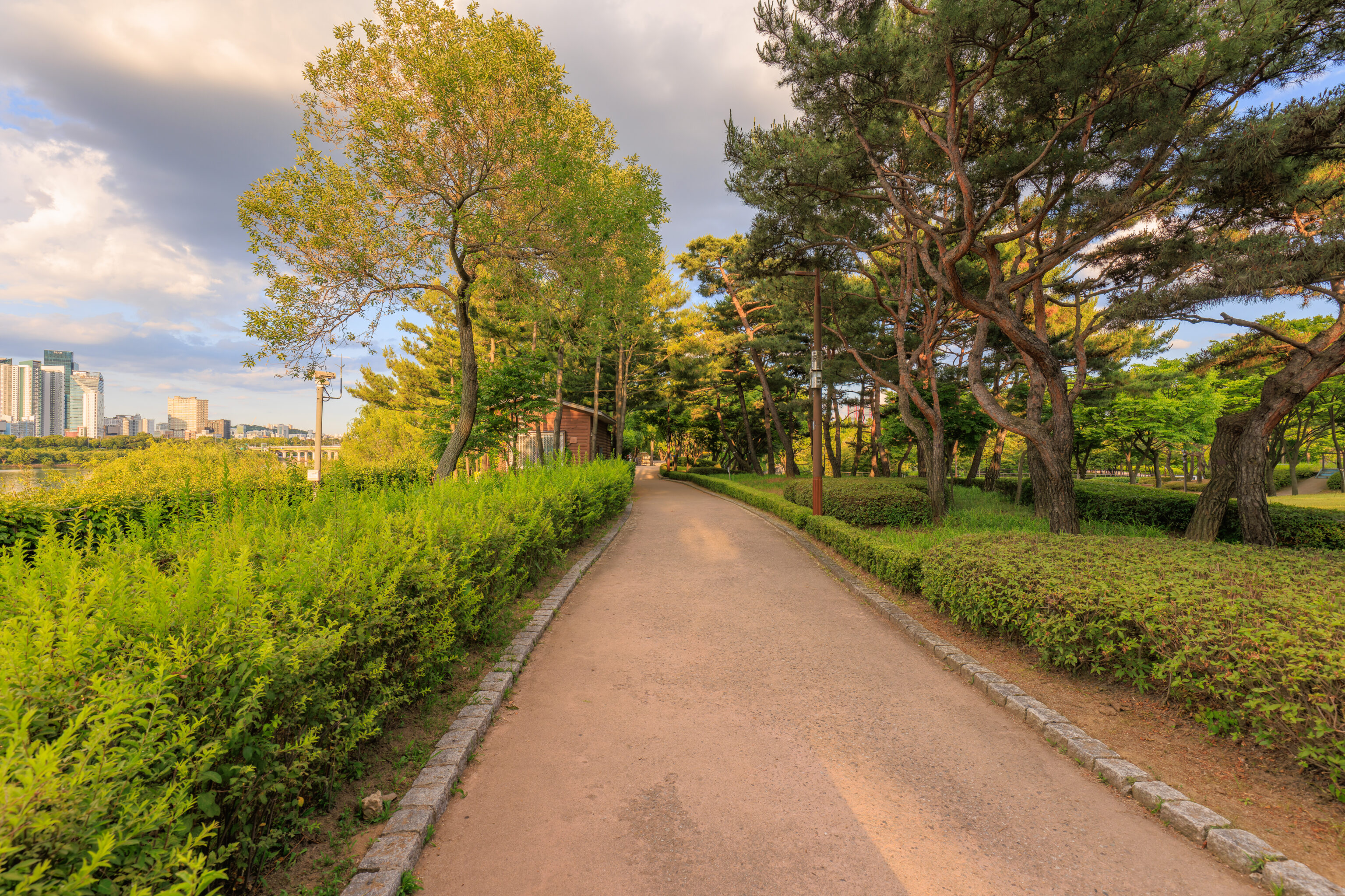
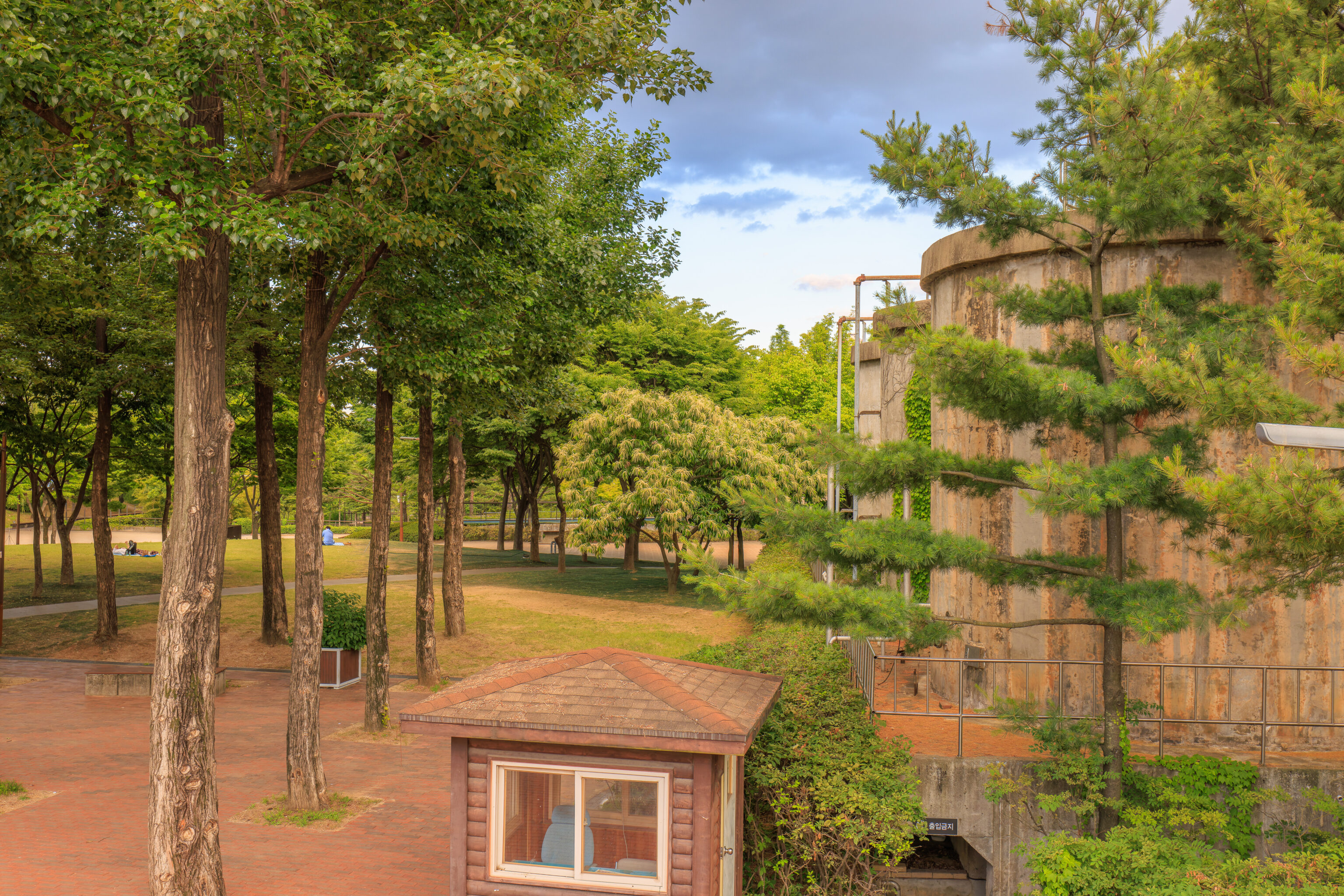
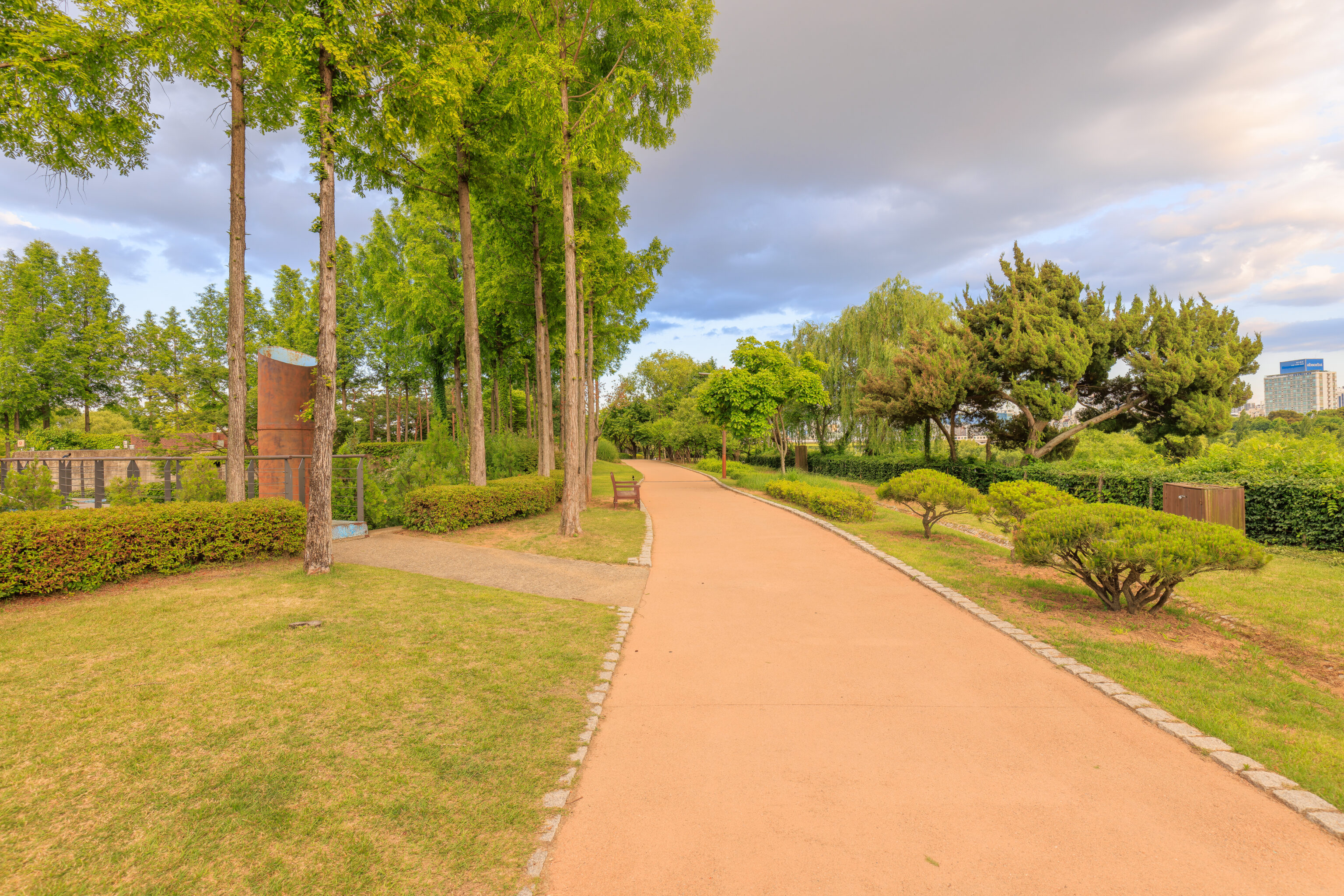
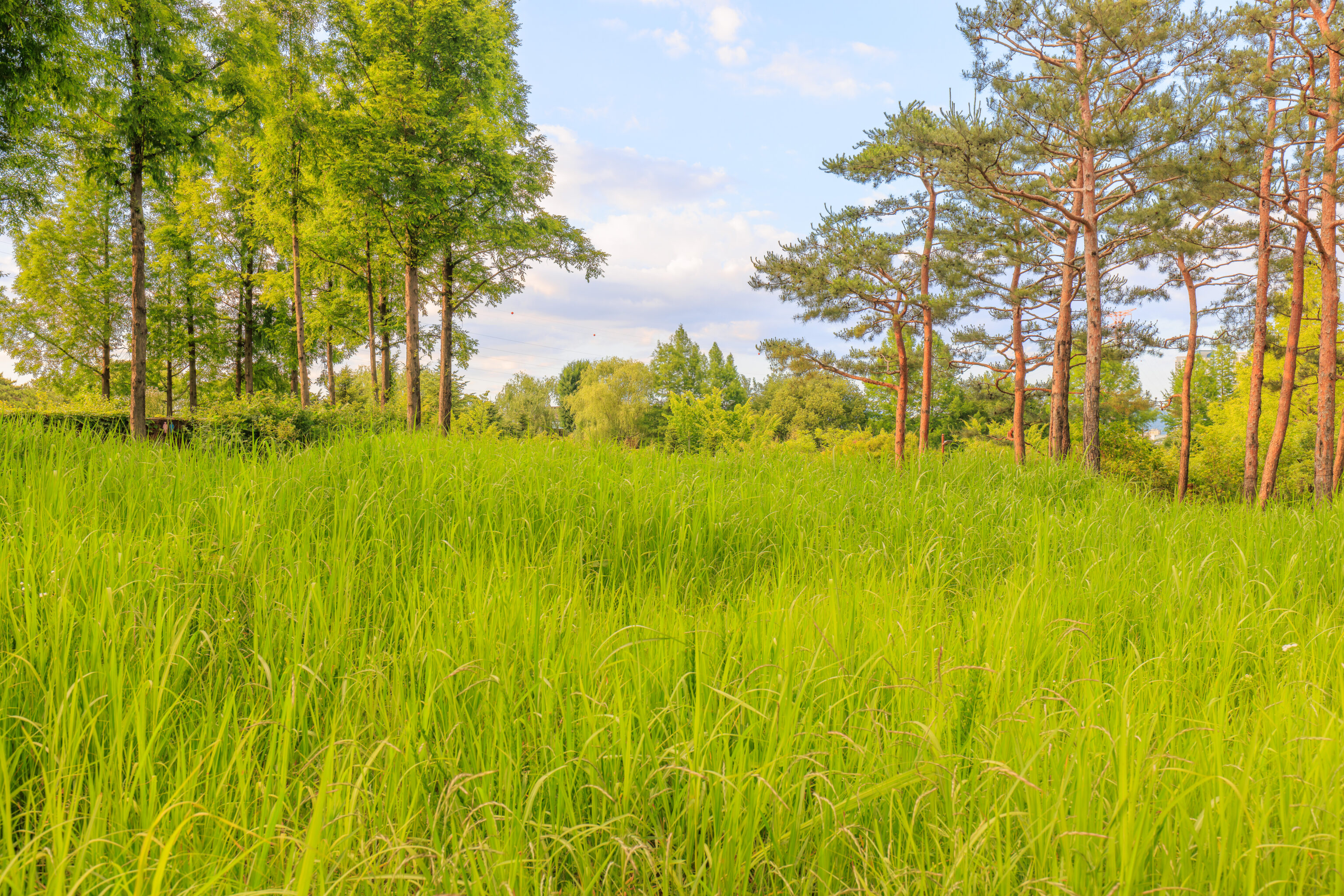
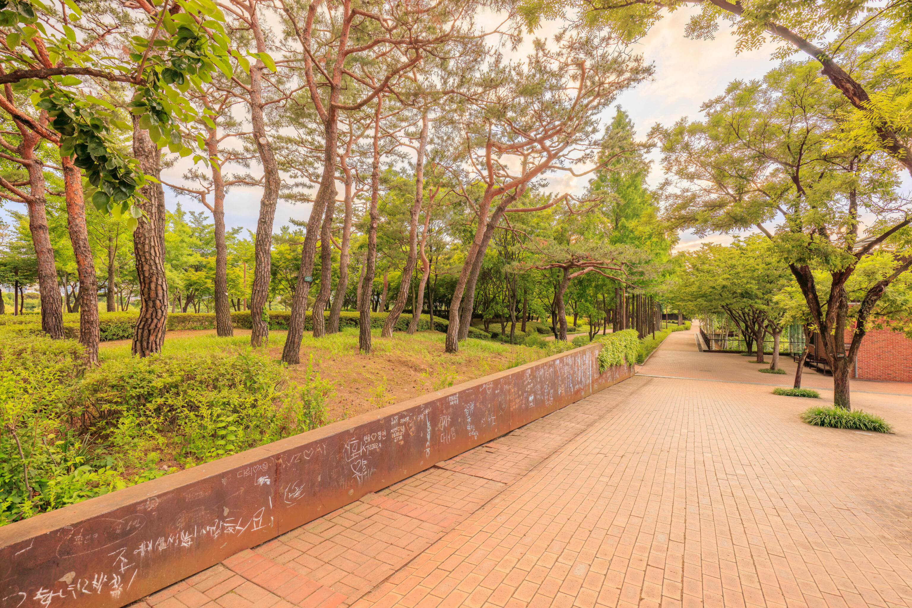
There is quite a bit of greenery among the various remnants of the facility that was located here. It wasn’t very busy and was quite pleasant! And, just as importantly, we didn’t encounter mosquitos.
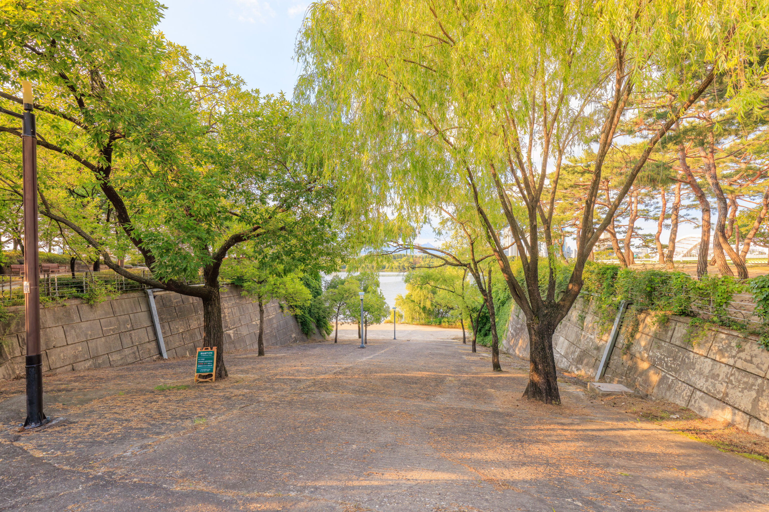
The park is elevated above sea level. There are paths, more like roadways, that go down to sea level. But, access is restricted according to the small sign on the left as it is an ecological conservation area.
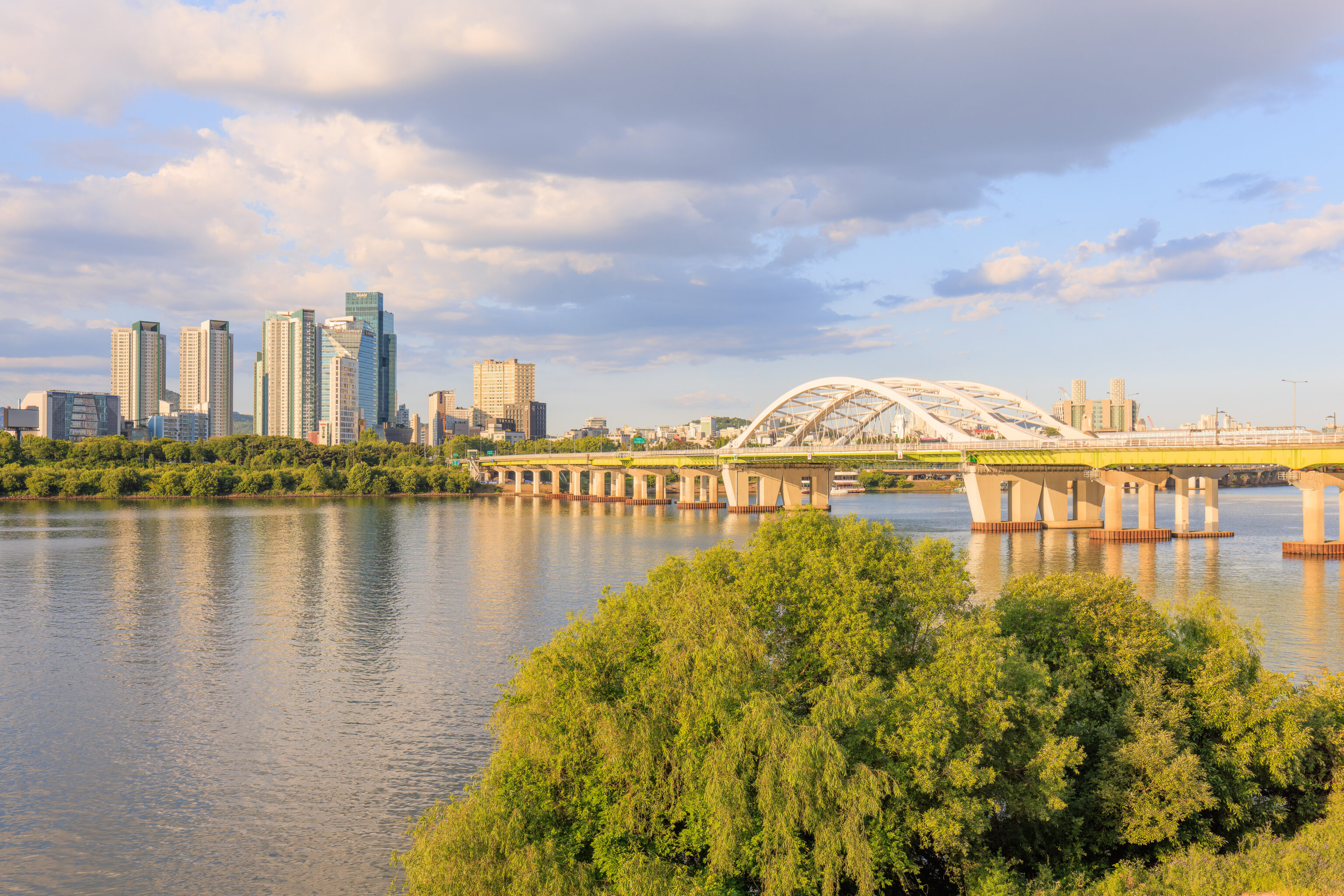
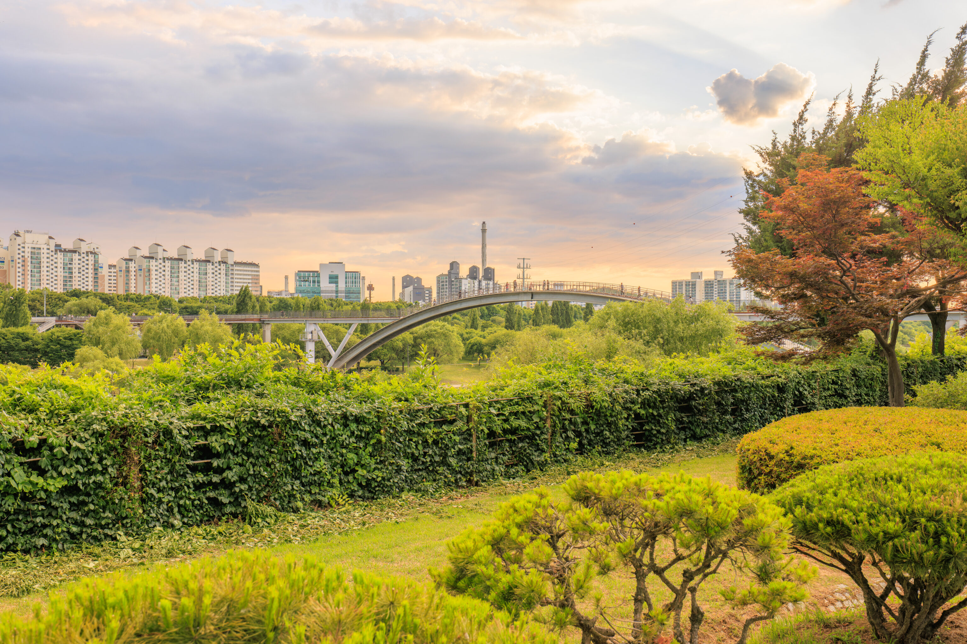
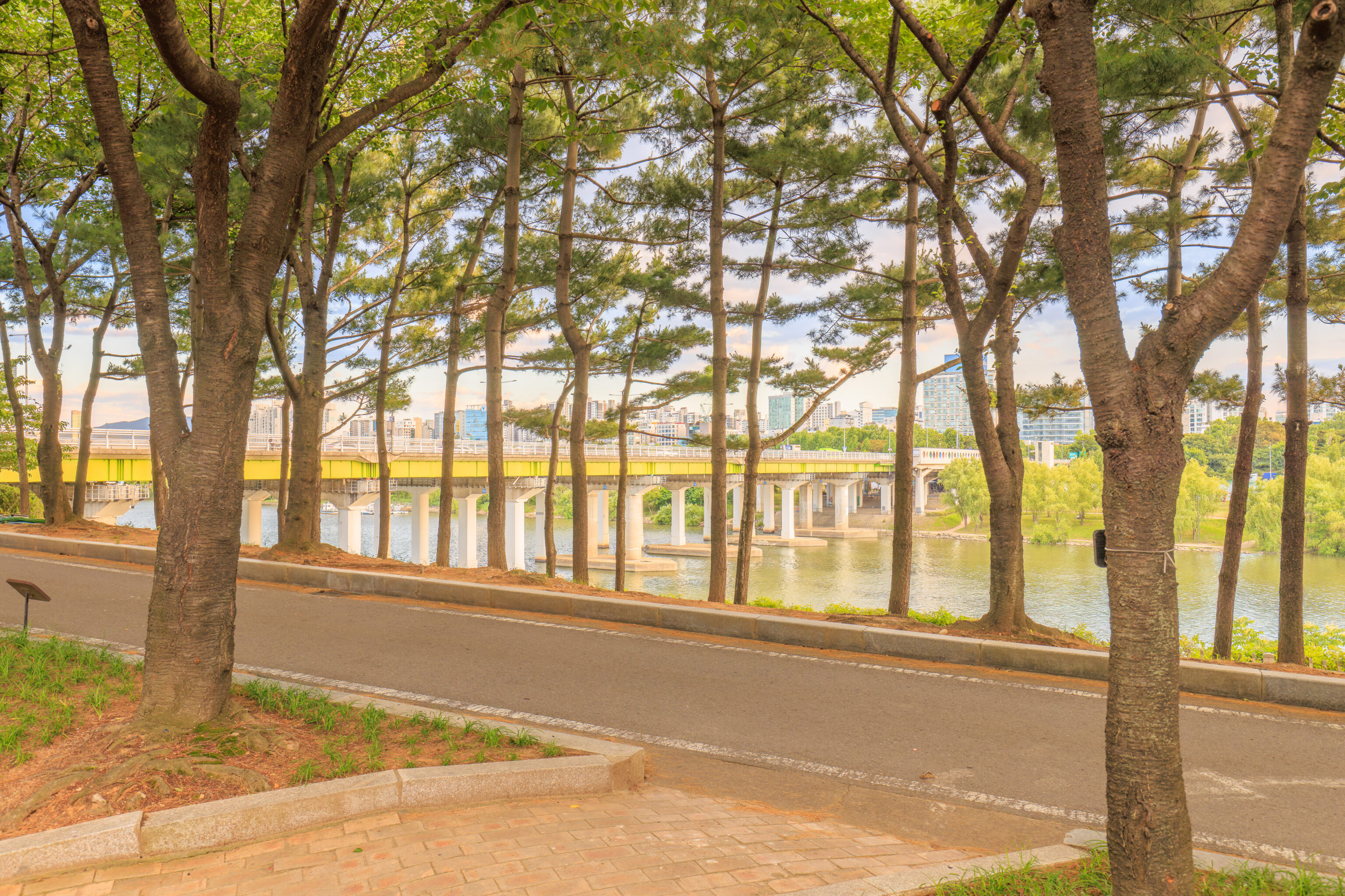
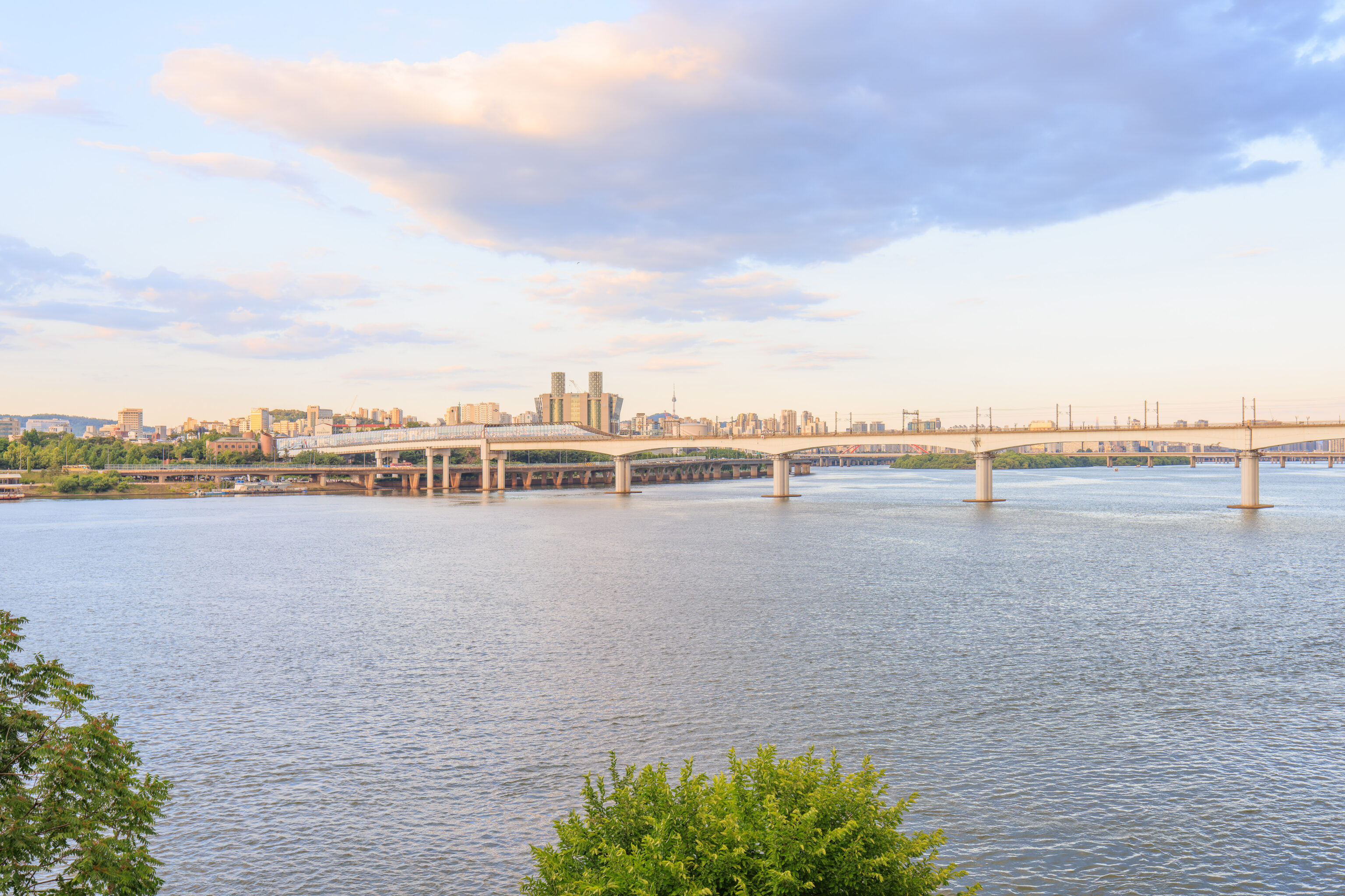
As we continued walking northwest through the northeastern side of the park, we had a nice view of the 양화대교 Yanghwa Bridge, the bridge over the Han that we arrived on.
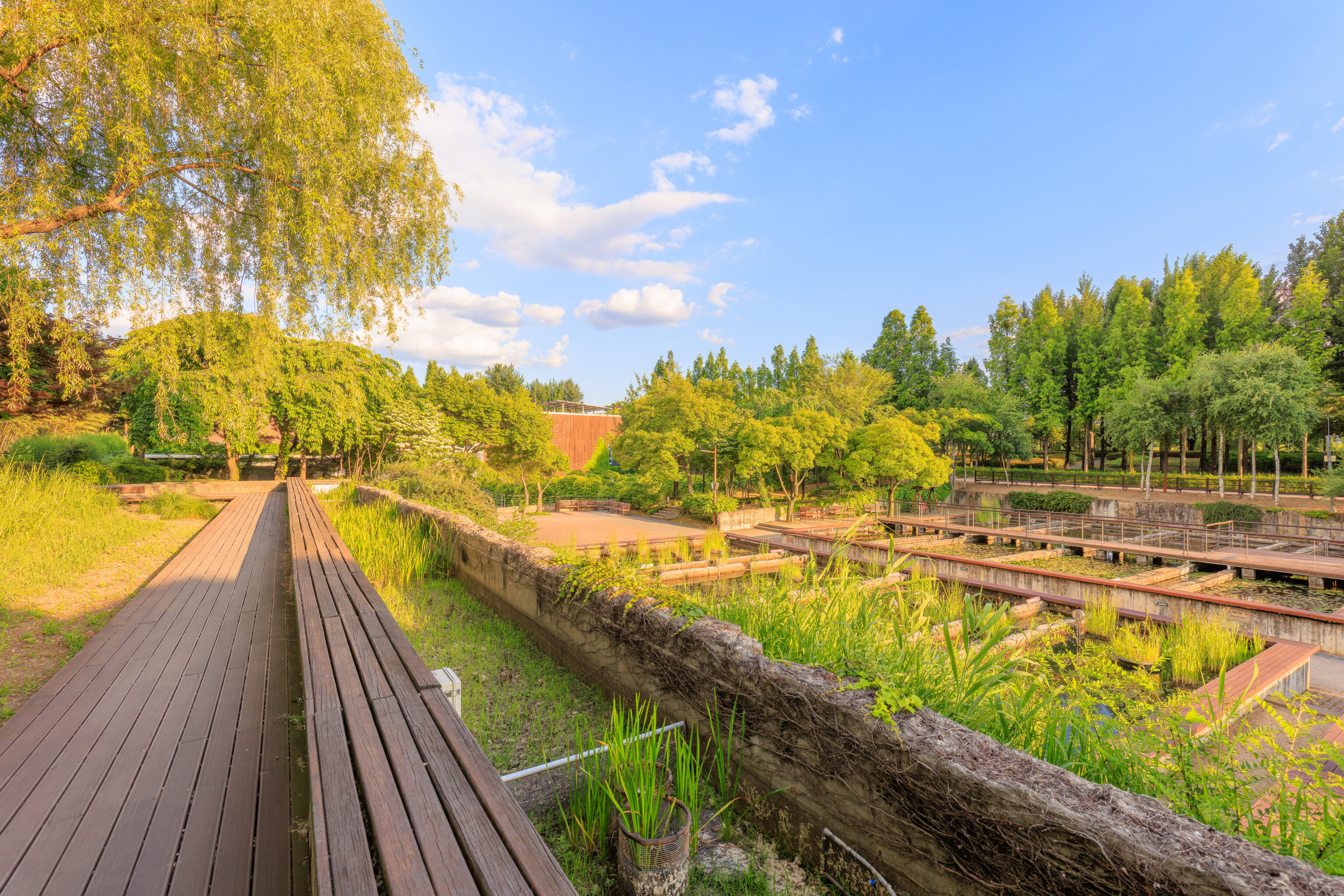
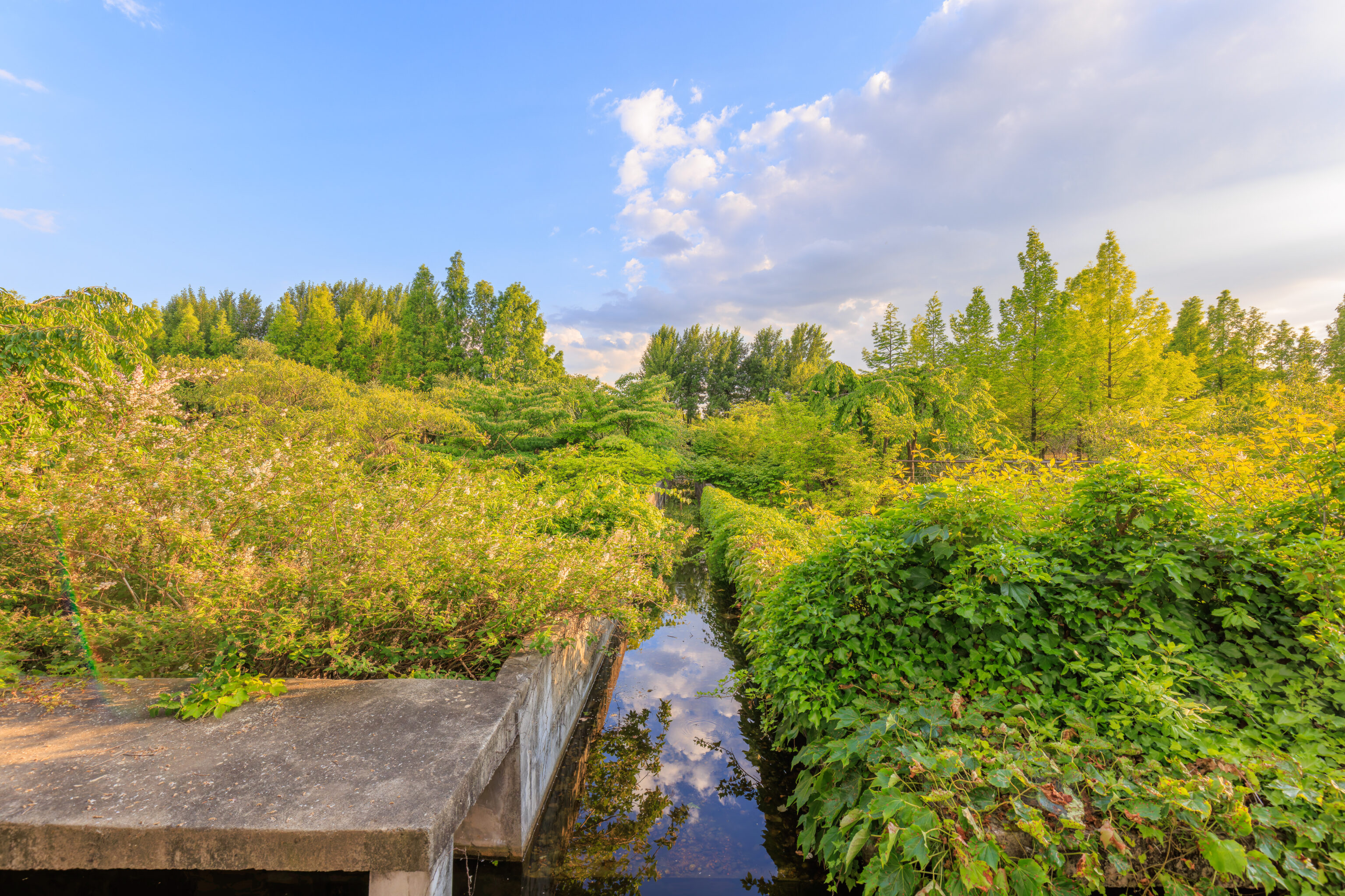
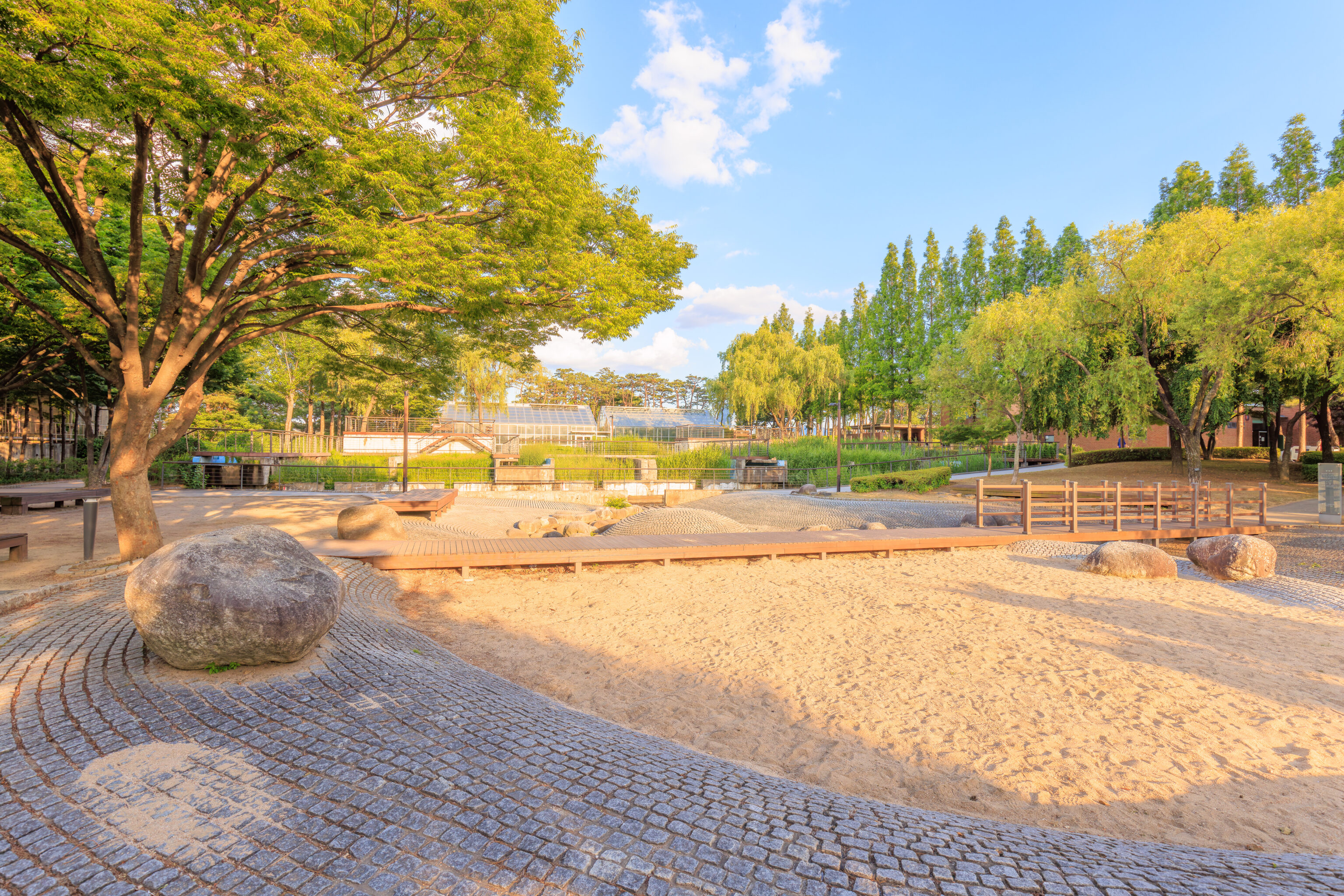
This area, in the middle of the island, contains various channels and basins of water.
There is quite a bit of greenery on this island! Very different from the concrete jungle one expects when hearing of a water purification plant.
We came across another excellent view to the east. From this perspective, we could see the N Seoul Tower in the distance.
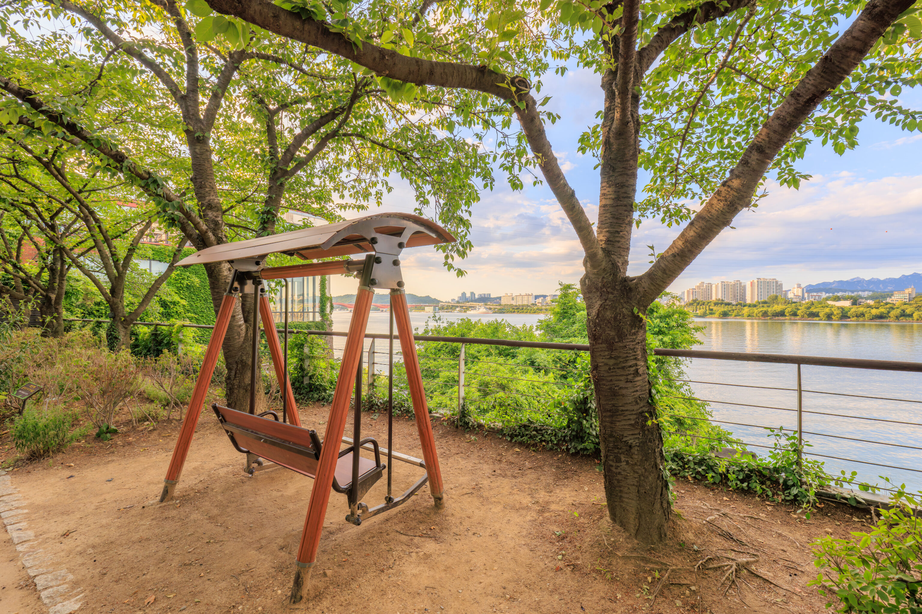
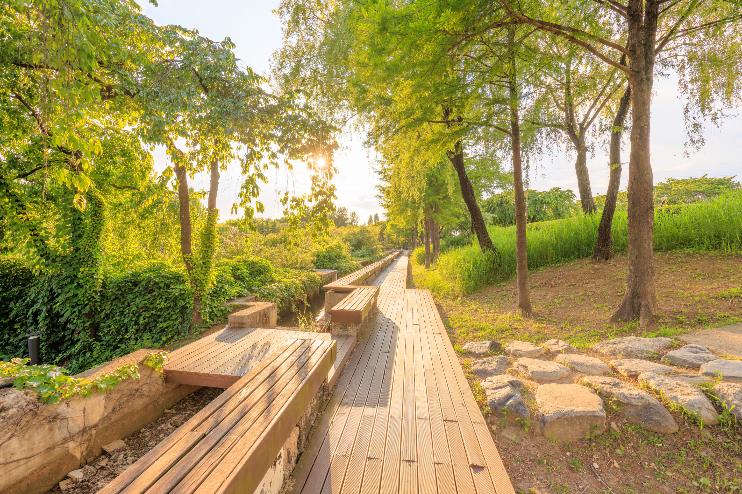
We came across these interesting swing benches. The foot bar allows using your legs to make the swing move. It is a very effective mechanism that gets the swing moving quickly!
We continued on until we were almost at the western end of the island. This was the view looking back along the path to the southeast.
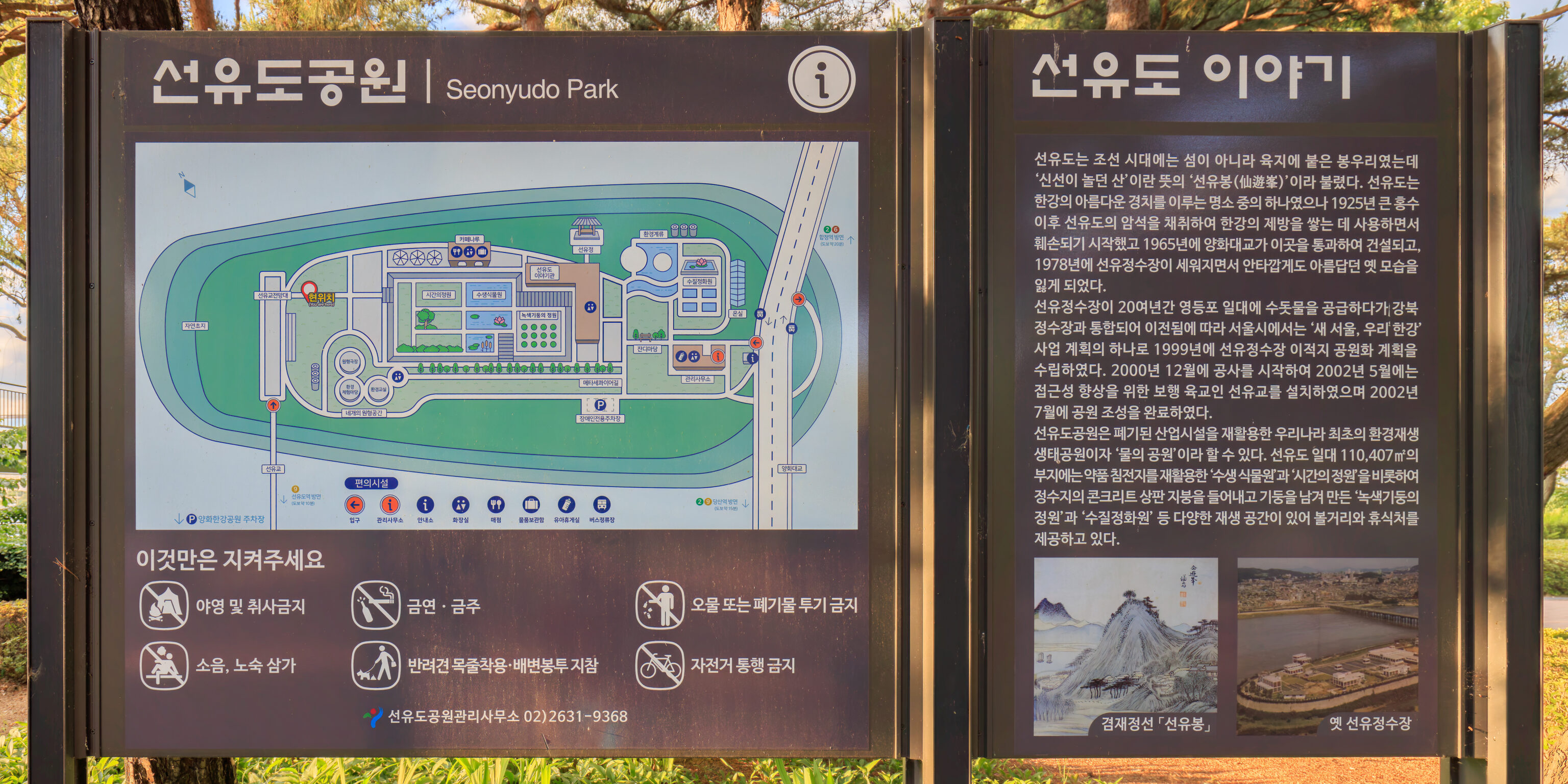
We came across a pretty useful sign here with a map of the park. The text on the right gives a history of the island (translated using Google):
During the Joseon Dynasty, Seonyudo was not an island but a peak attached to the land, and was called Seonyubong (仙遊峯), meaning "a mountain where immortals play." Seonyudo was one of the famous spots with beautiful scenery on the Han River, but after the great flood in 1925, rocks from Seonyudo were mined and used to build embankments on the Han River, and it began to be damaged. In 1965, Yanghwa Bridge was built across it, and in 1978, Seonyu Water Purification Plant was built, and unfortunately, it lost its former beautiful appearance.
As Seonyu Purification Plant, which had supplied tap water to the Yeongdeungpo area for over 20 years, was relocated after being integrated with Gangbuk Purification Plant, the Seoul Metropolitan Government established a plan to transform the former site of Seonyu Purification Plant into a park in 1999 as part of the “New Seoul, Our Hangang” project. Construction began in December 2000, and in May 2002, a pedestrian overpass called Seonyu Bridge was installed to improve accessibility, and the park was completed in July 2002.
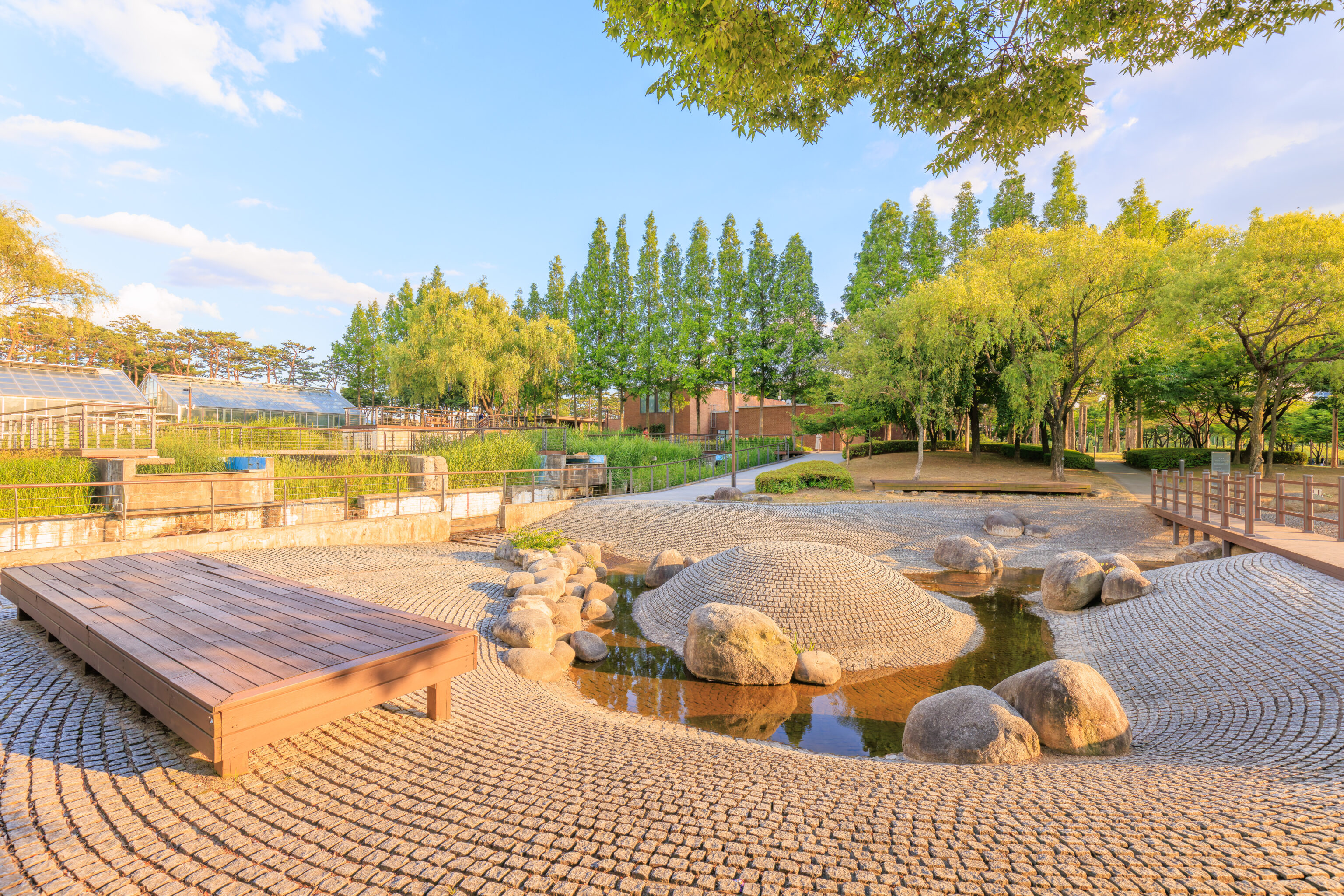
Seonyudo Park is the first environmental regeneration ecological park in Korea that recycles abandoned industrial facilities, and can be called a 'water park'. The 110,407㎡ site in Seonyudo includes the 'Aquatic Plant Garden' and 'Time Garden' that recycle pharmaceutical sedimentation tanks, as well as the 'Green Light Garden' and 'Water Purification Center' that were created by removing the concrete slab roof of a water purification tank and leaving the pillars, providing various regeneration spaces to see and rest.
The drawing below the text depicts what the island looked like and the photograph to the right shows how it looked as a water purification plant.
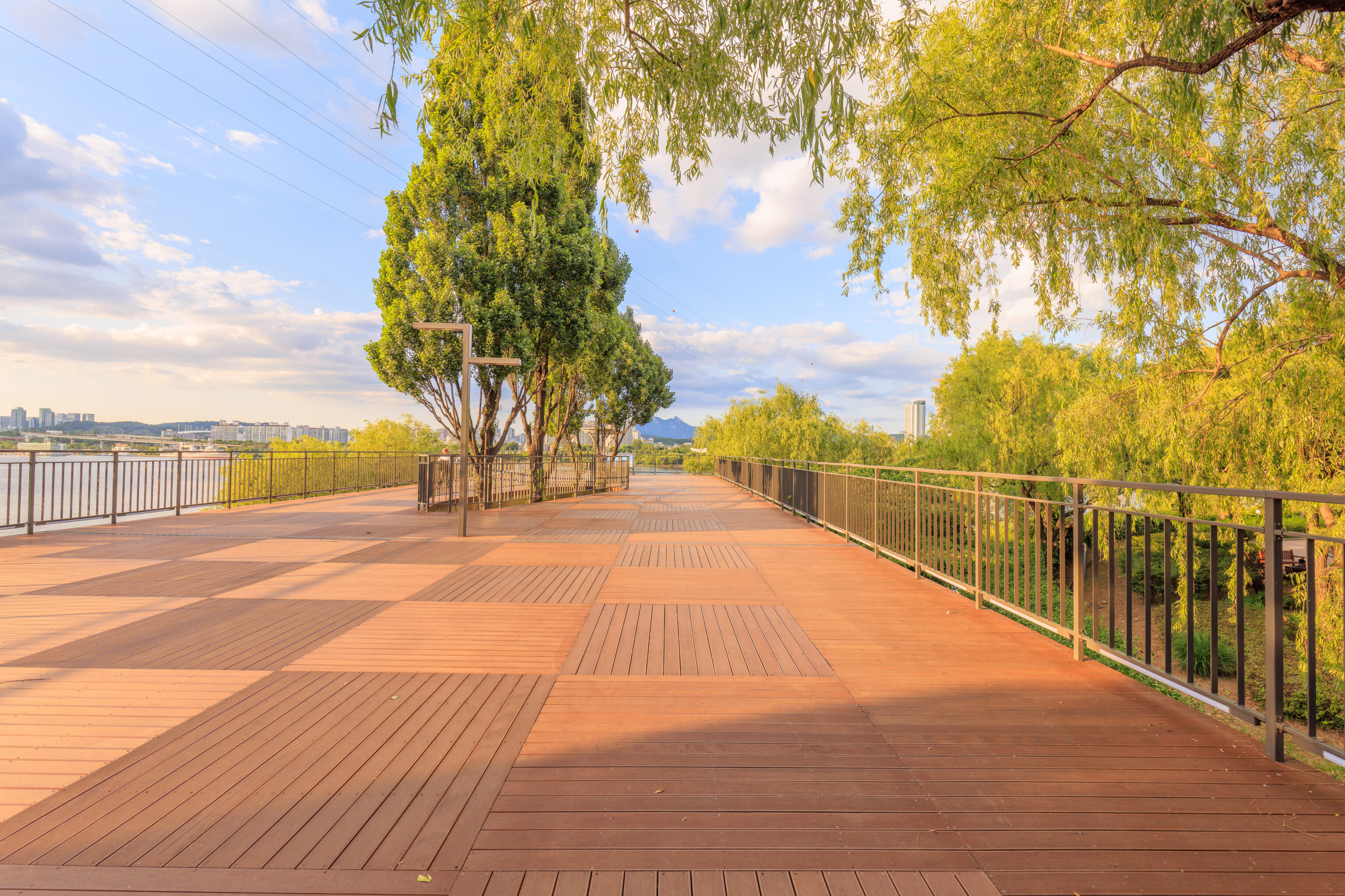
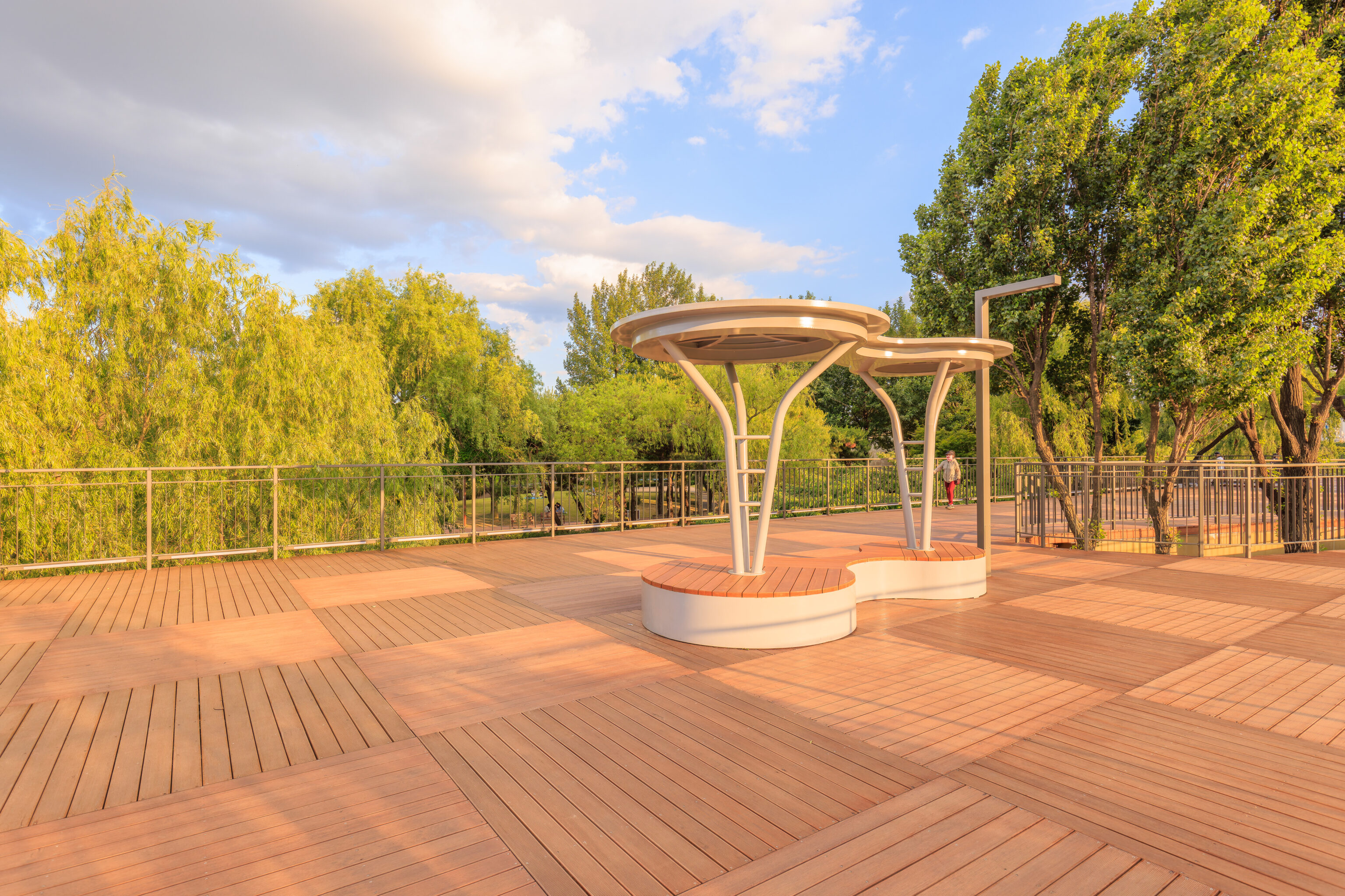
There is a huge elevated deck here. We aren’t quite at the end of the island as it does continue on at ground level below us for a little bit.
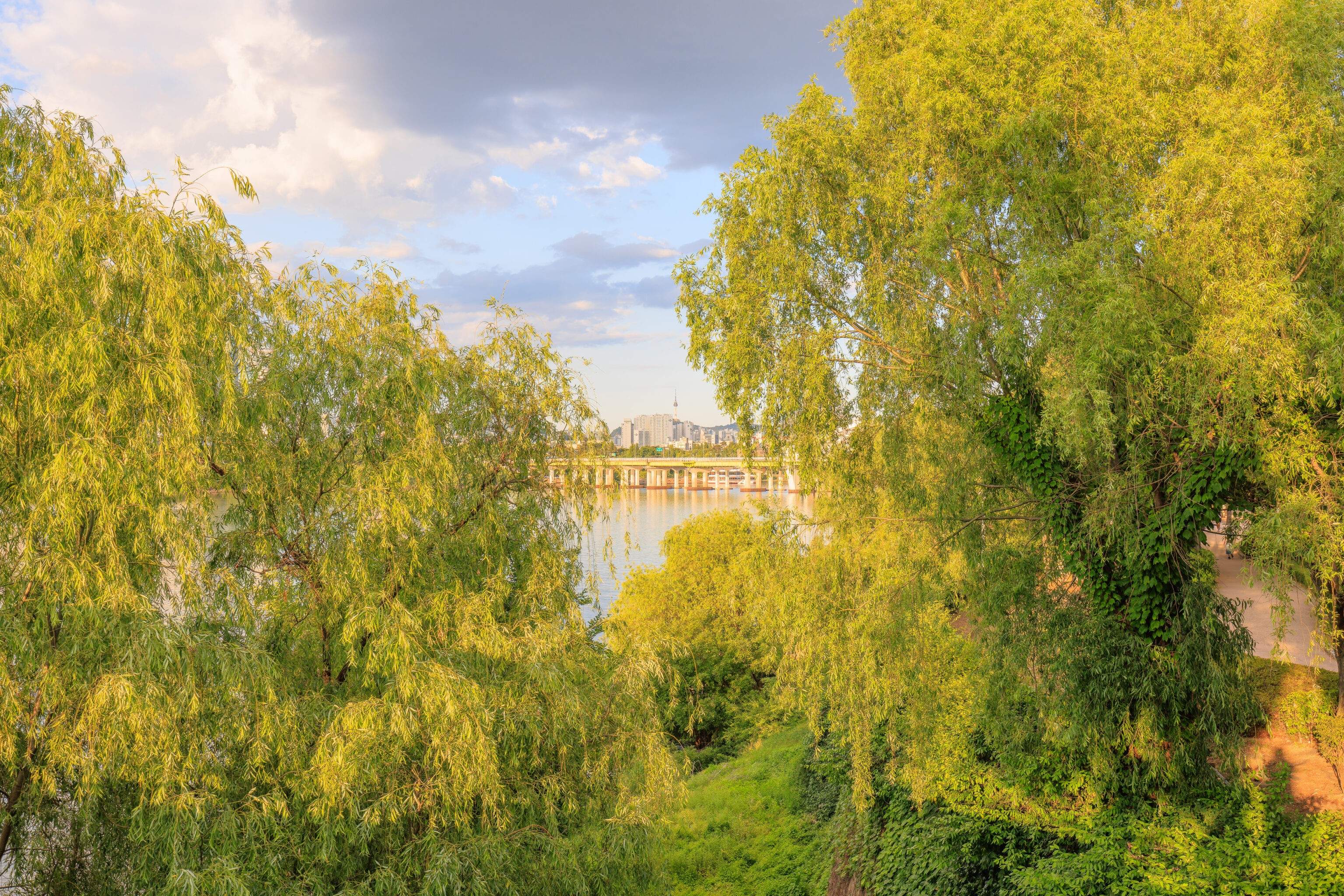
We caught a view of the N Seoul Tower through a gap in the trees.
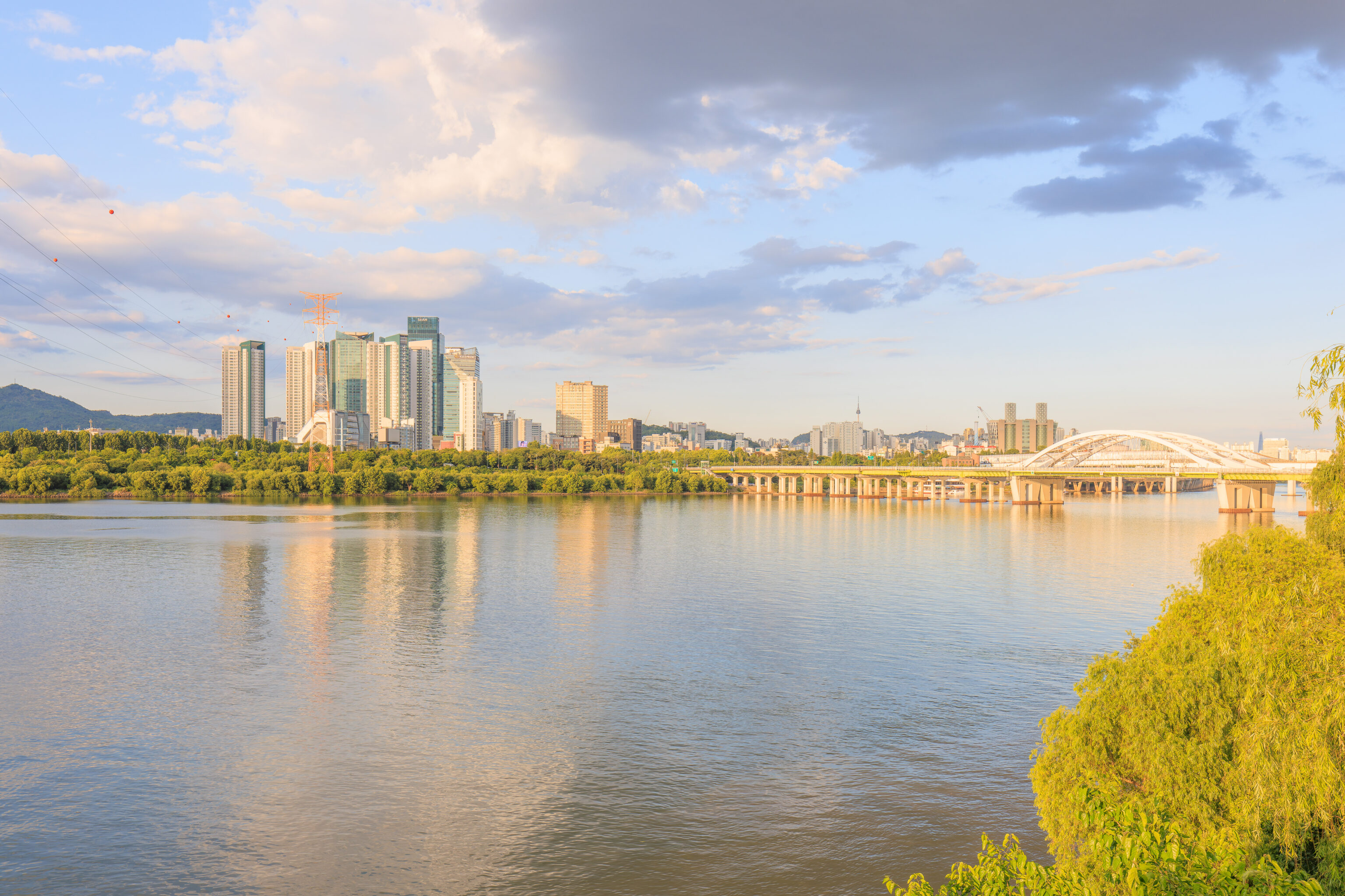
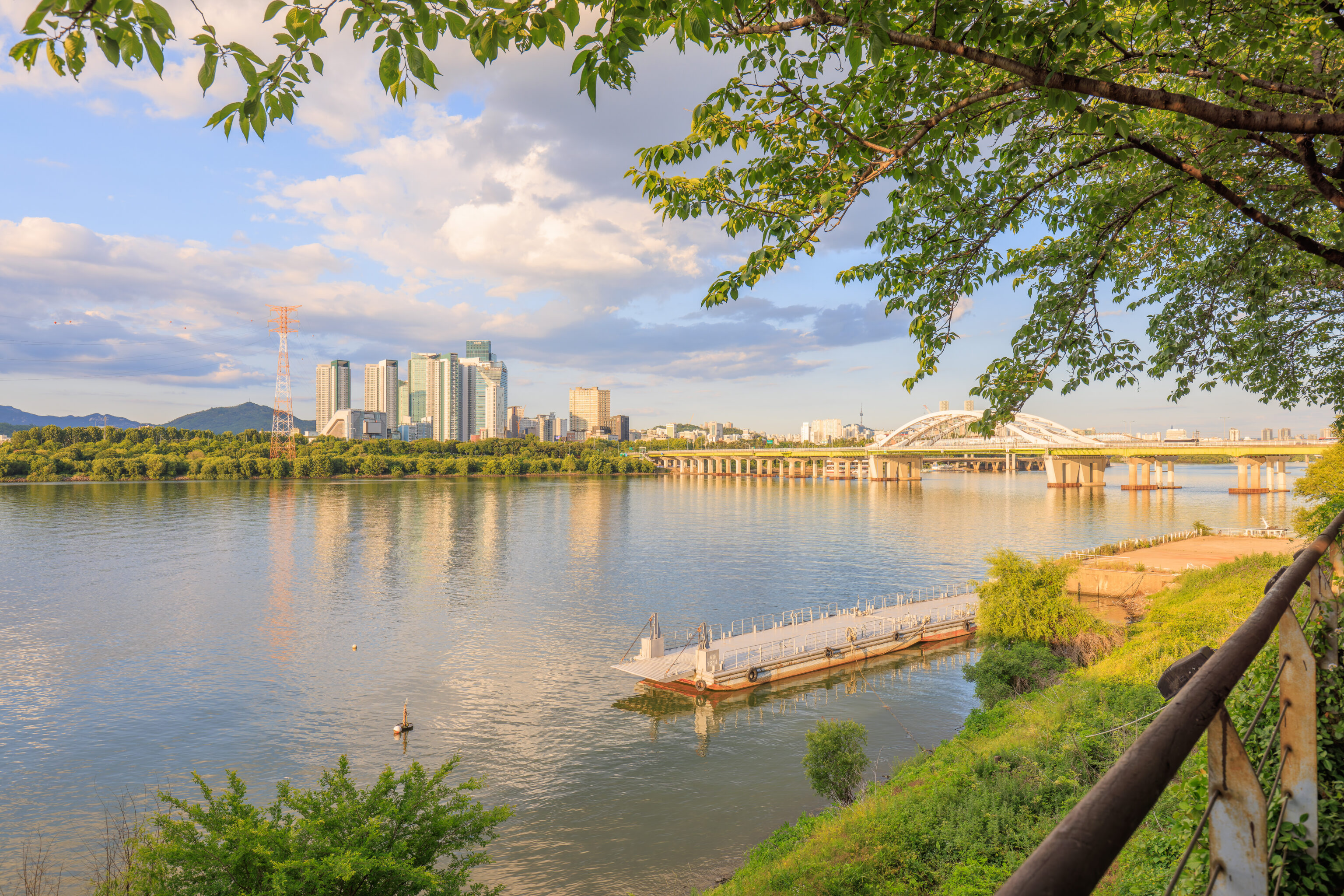
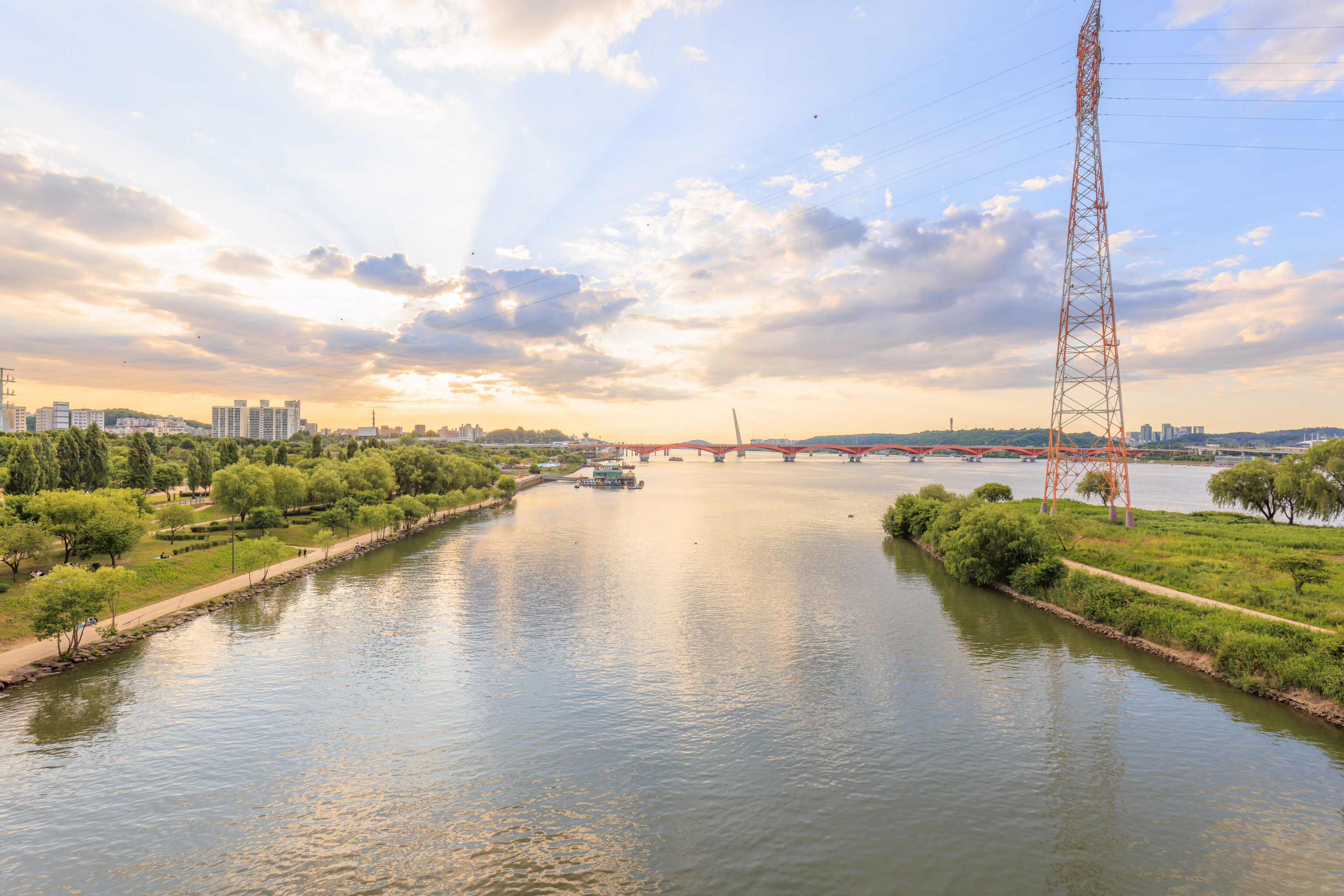
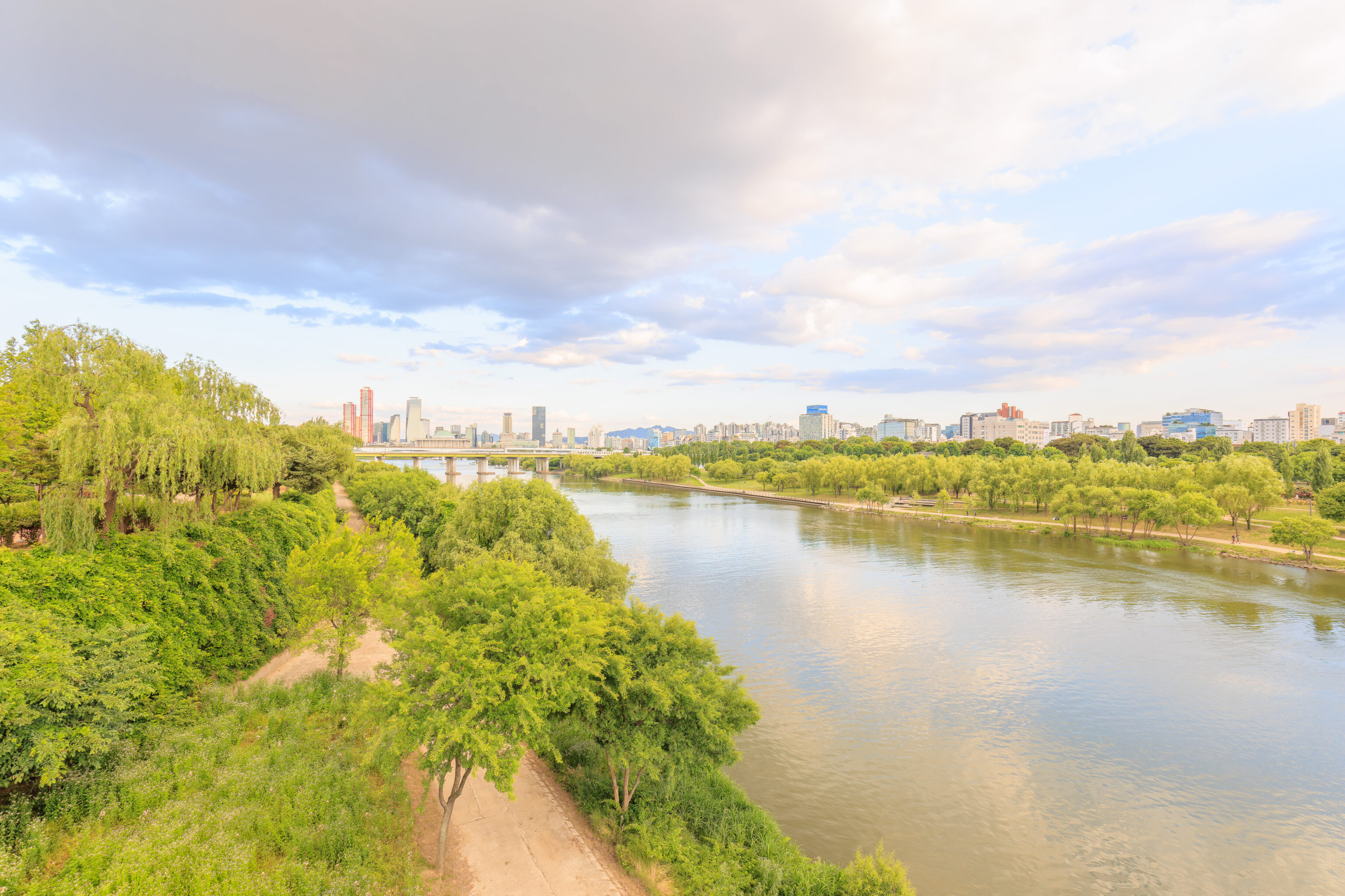
Walking to the northeast end of the deck, we had a clear view of the Han River.
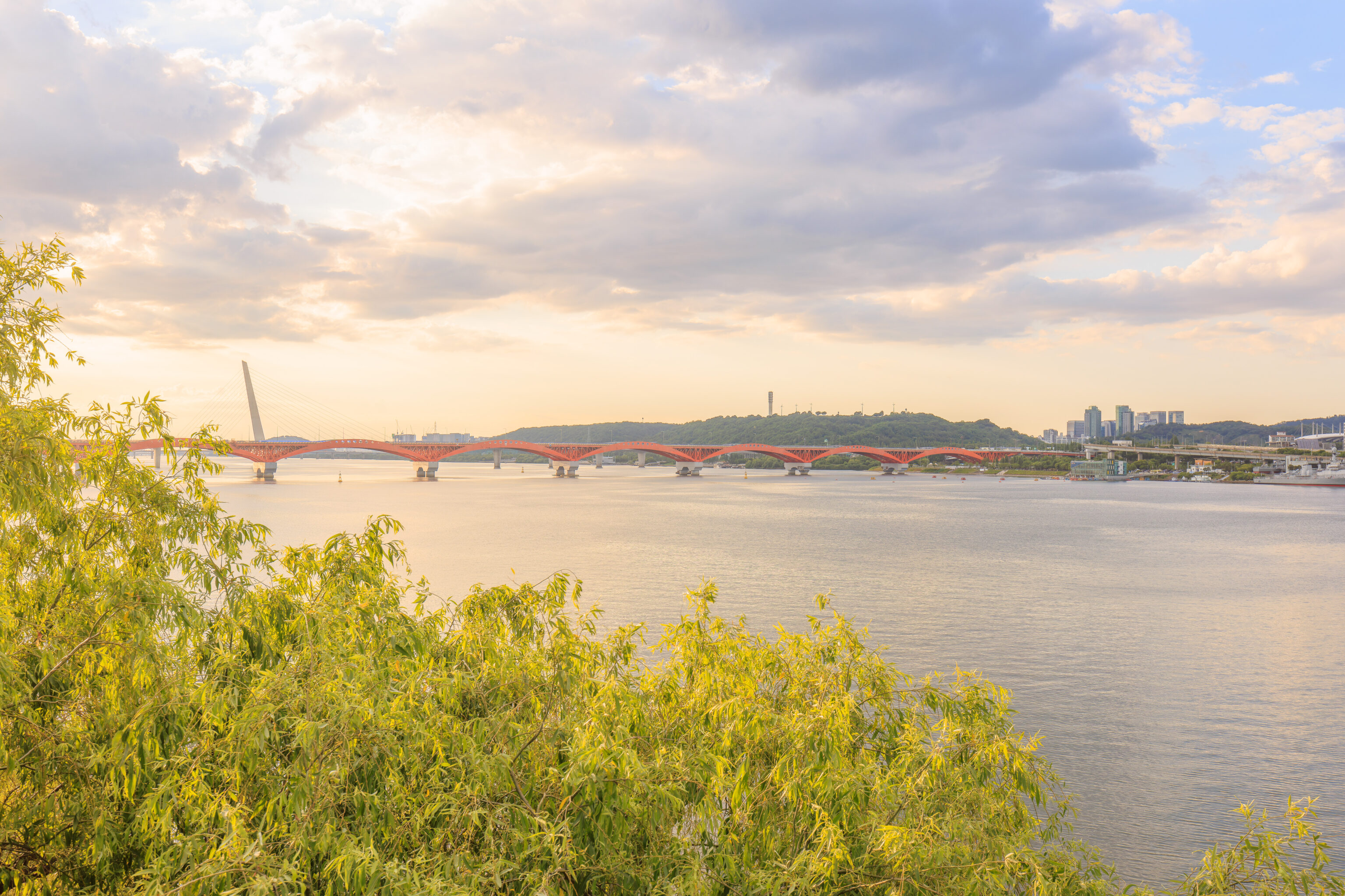
Looking to the northwest, we could see the 성산대교 Seongsan Bridge.
We walked to the southwest to reach the other side of the island. There is a bridge that connects to the southwestern end of the elevated deck to reach the southern bank of the Han. From this bridge, we could see the sun to the west as it descended towards the horizon.
Looking in the other direction, we could see Yeouido behind the southern portion of the Yanghwa Bridge.
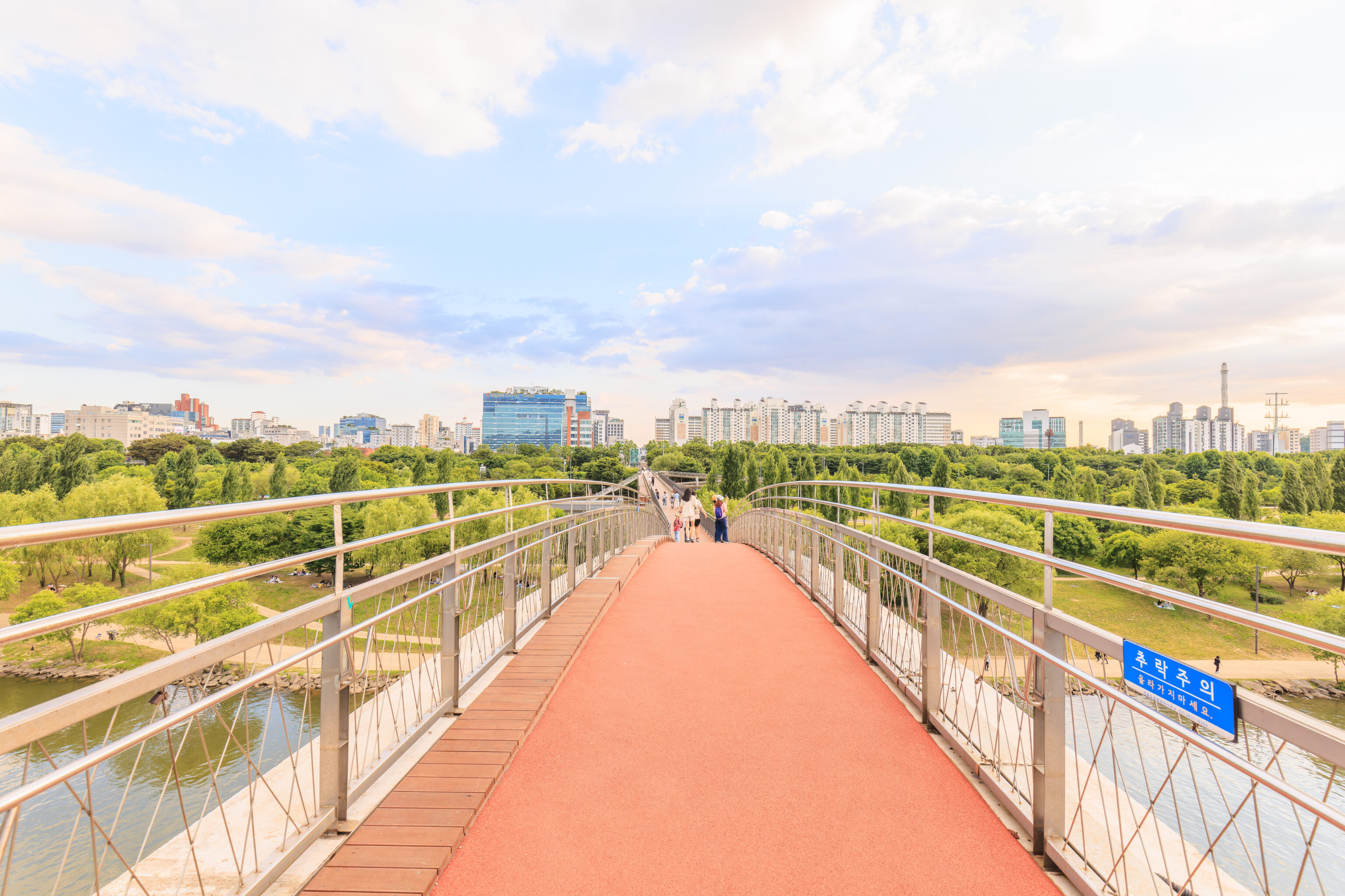
The view from the middle of the bridge looking to the southwest. There is quite a bit of parkland on both sides of the Han. We could see some people down below enjoying the early evening on picnic blankets. From here, if we were to walk straight and keep on going, we would end up in Incheon before walking into the sea.
The blue sign seems to say something like fall danger, though the text doesn’t really translate well into English.
We turned around and returned to Seonyudo to begin heading back via the southwestern side of the island. We came across a sign that describes this bridge:
Seonyugyo (Bridge)

Location
Connecting Yangpyeong-dong to Seonyuido in Yeongdeungpo-gu, Seoul

Dimensions
Width 3~14 meters, Length 469 meters

Construction Period
September 2000 ~ April 2002

The Seonyugyo Bridge, constructed as a joint commemorative project between Seoul City and the French 2000 Committee to welcome the new millennium, is a pedestrian-only bridge. Spanning the Hangang River, this rainbow- shaped bridge utilizes an advanced material, ultra- high-performance concrete (UHPC), giving it a lightweight and sleek appearance. The bridge's deck and railings, made of environmentally friendly wood, offer a natural and smooth feel, contrasting with the bright color of the bridge's structure.

From the wide plaza-style observation decks at the intersection of the bridge and Seonyudo Park, visitors can enjoy not only the beauty of the Han River and the scenic mountains of Seoul, centered around Bukhansan Mountain, but also the surrounding landscape, including the Seoul World Cup Stadium and the world's highest fountain at 202 meters. The bridge underwent renovation in 2023 due to aging infrastructure.
The design of the bridge is pretty unusual.
We could see a path below us in the restricted area of the island as we headed to the southeast.
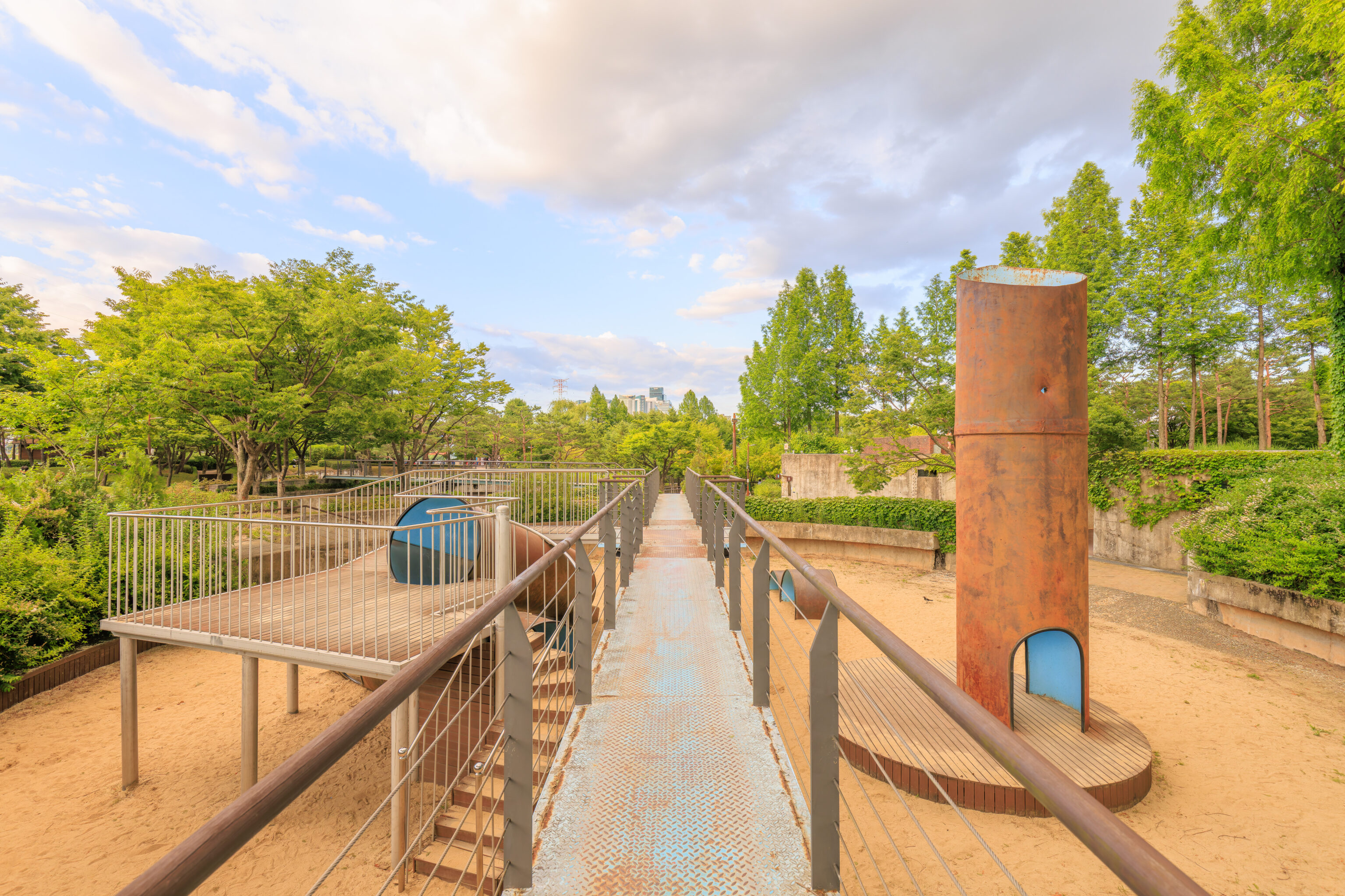
We passed by some aging structures, some of which were turned into a playground!
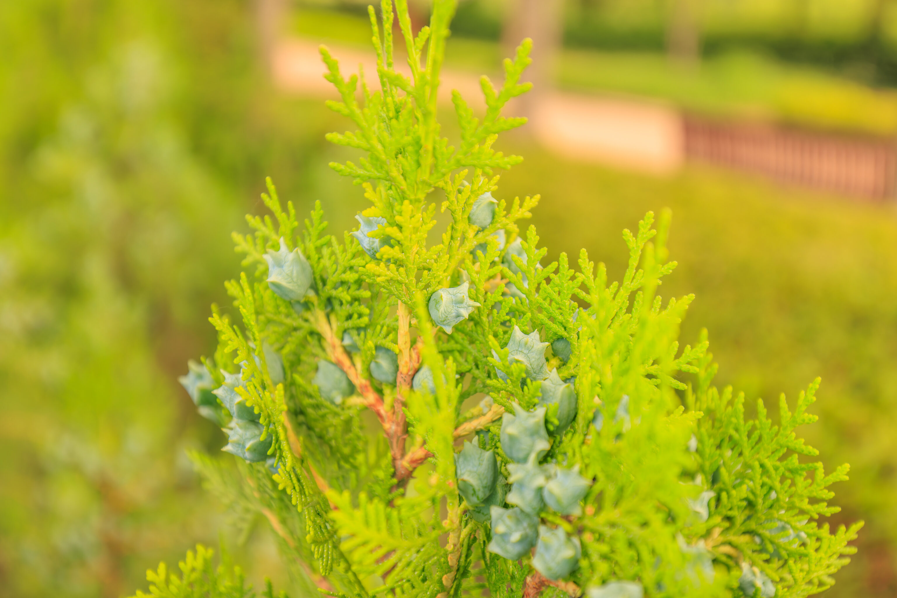
We noticed what seemed like interestingly shaped berries.
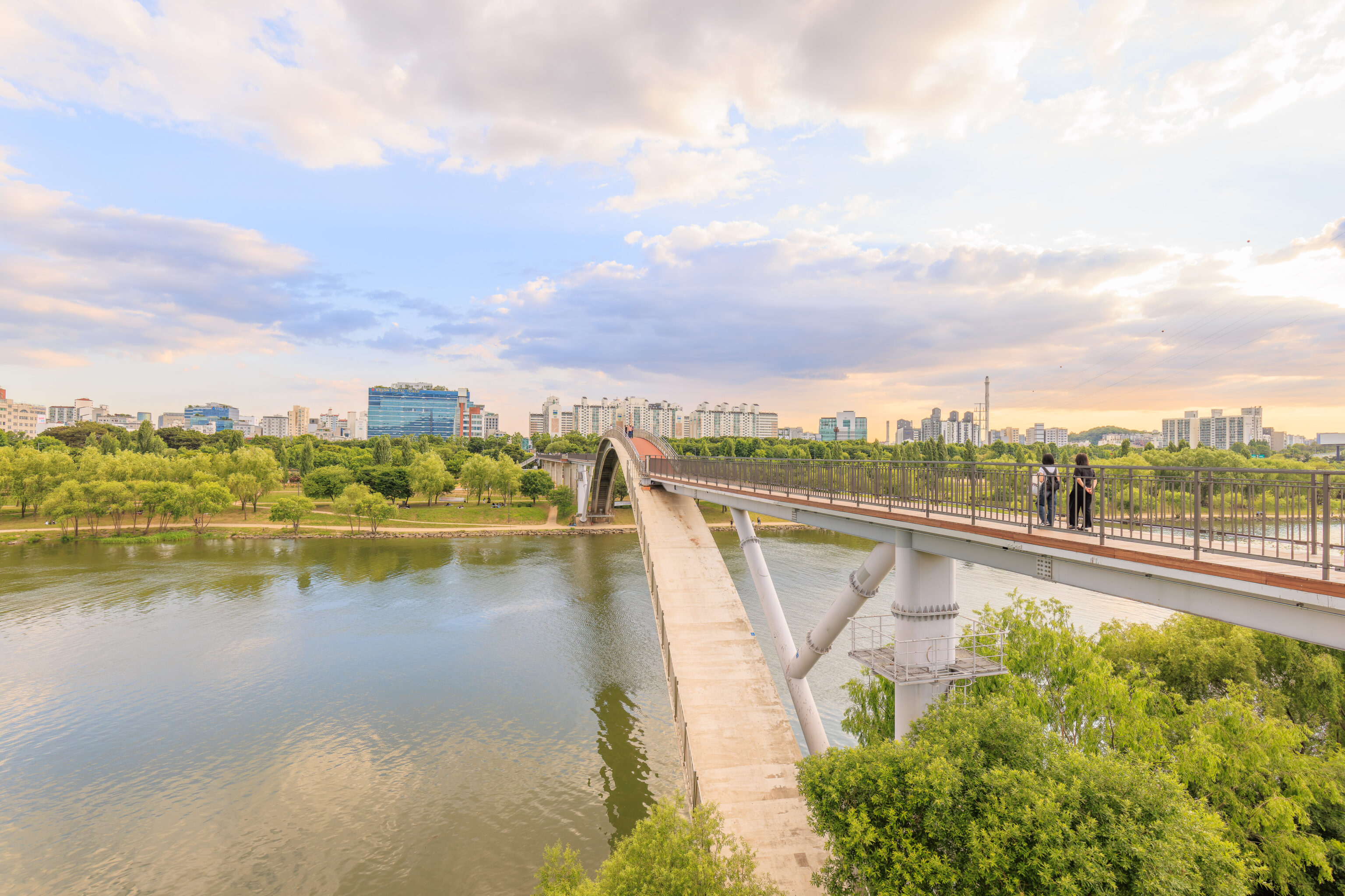
As we continued walking away, we looked back and got a good look at the Seonyugyo’s interesting span.
This view is almost like being out in the wildnerness!
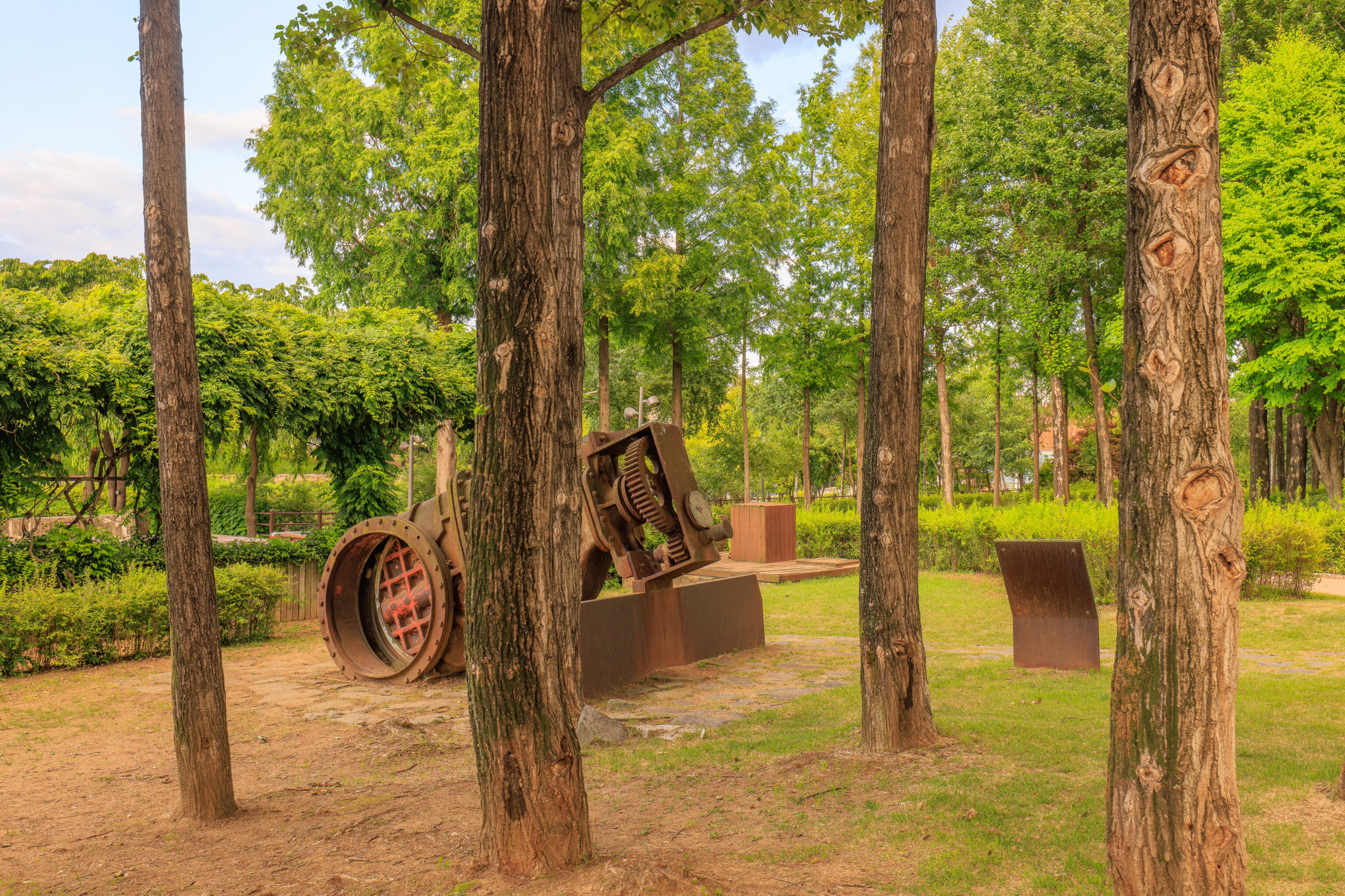
We passed by some old rusting machinery. This seems like a water valve? A sign in front of it shows that it is! The text is in Korean but Google was able to translate it:
Rainwater discharge valve

This is a rainwater discharge valve that was used to discharge rainwater inside the Seonyu Purification Plant into the Han River when a lot of rainwater flowed in.

Type: Gate valve (vertical)
Years of use: June 1978 - December 2000
Diameter: 1,350 m/m
Weight: 11 tons
Pressure: 7.5kg/cm²
Material: Cast iron
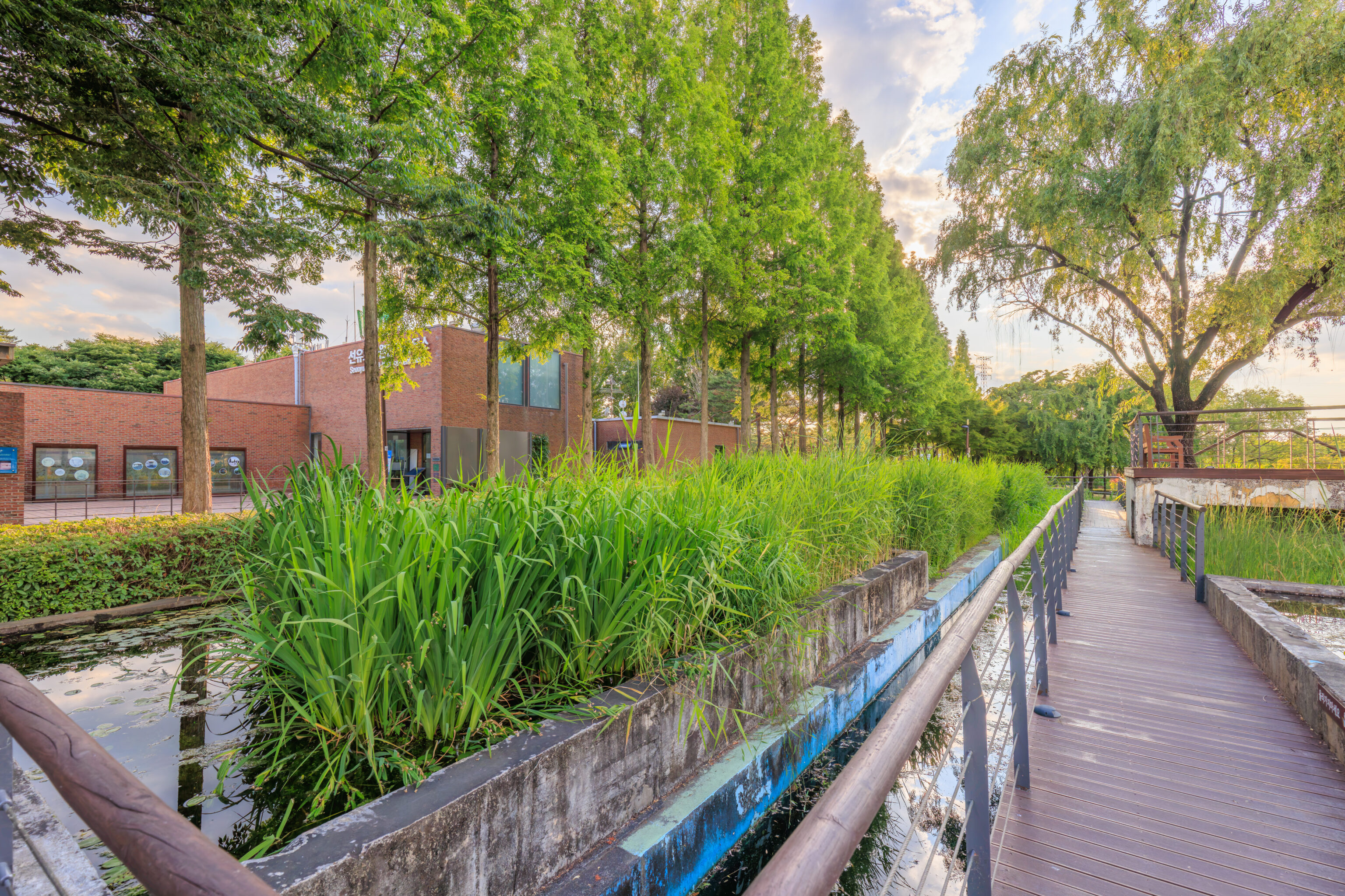
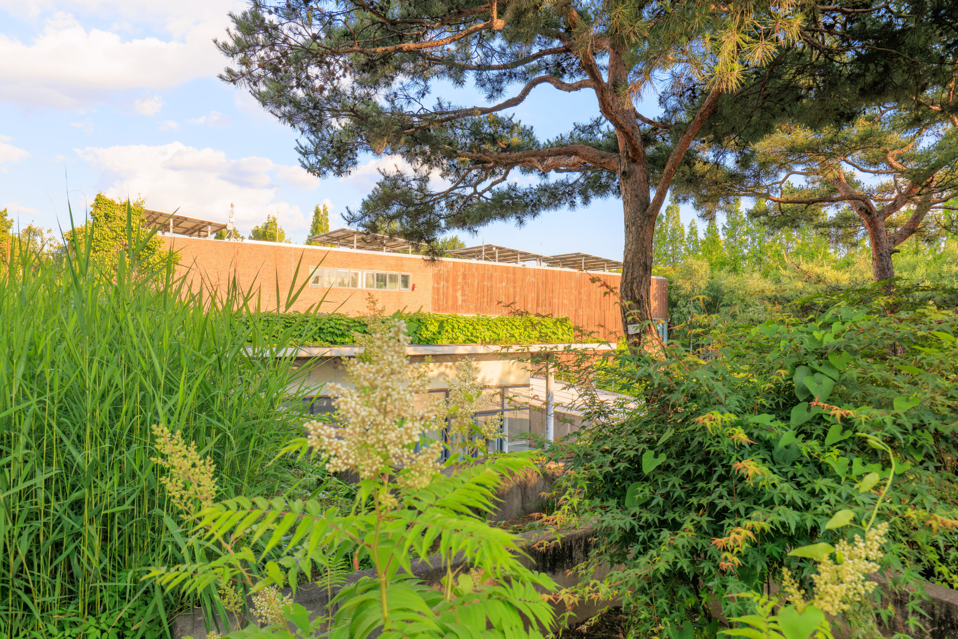
Soon, we saw a building through the trees ahead of us.
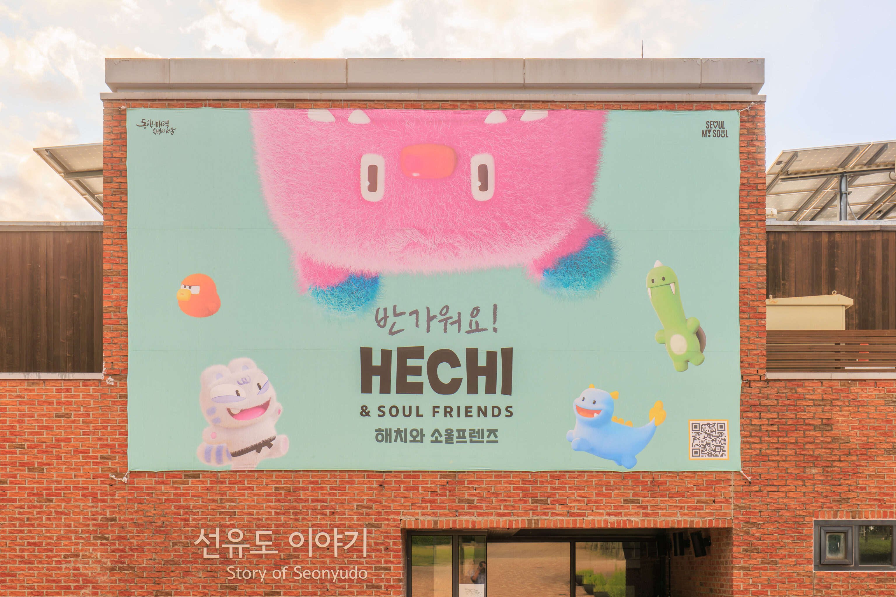
The building houses the park’s visitor center. It was closed as it was 7pm by now. There was a huge banner showing Hechi and the Soul Friends!
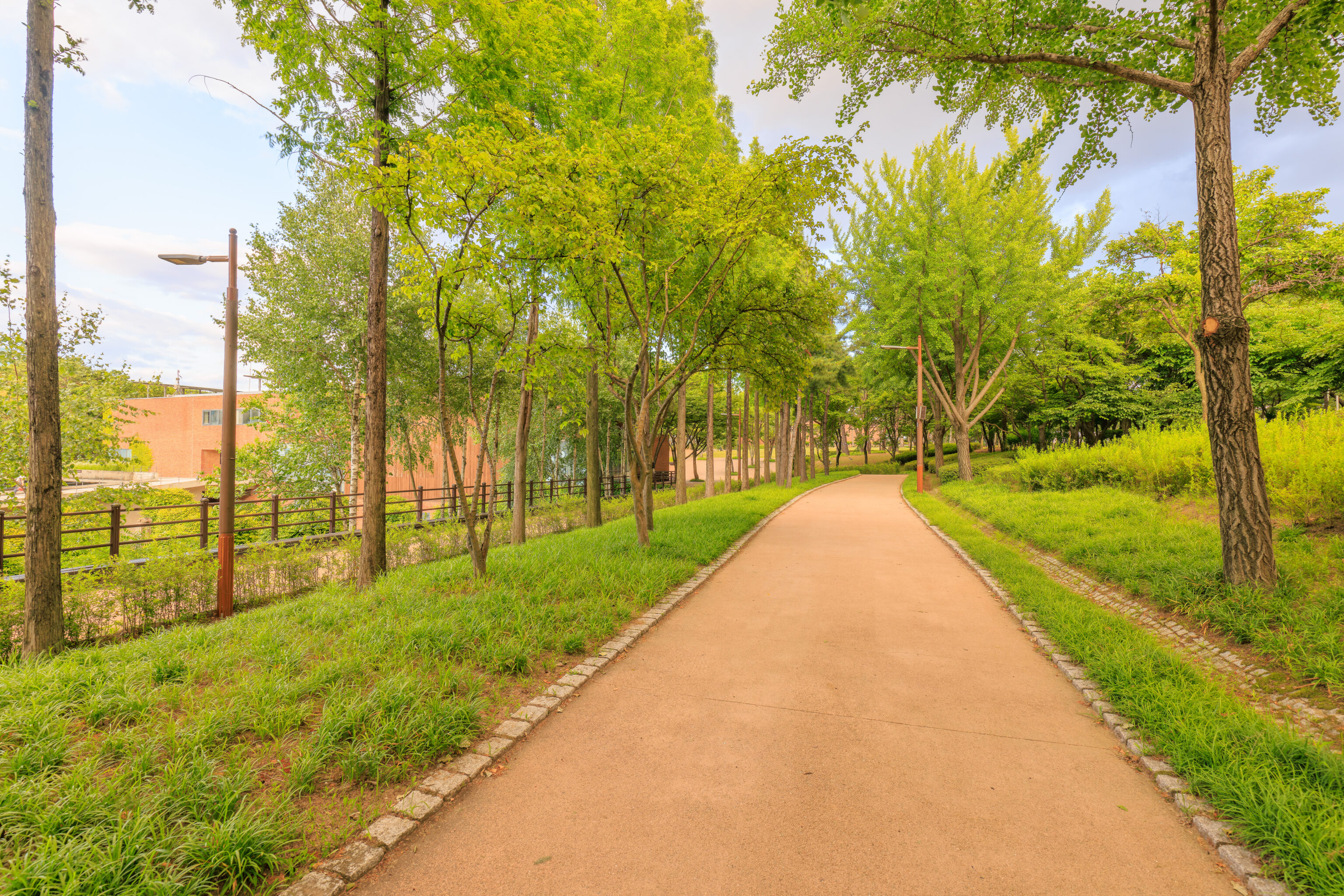
This area was paved with brick.
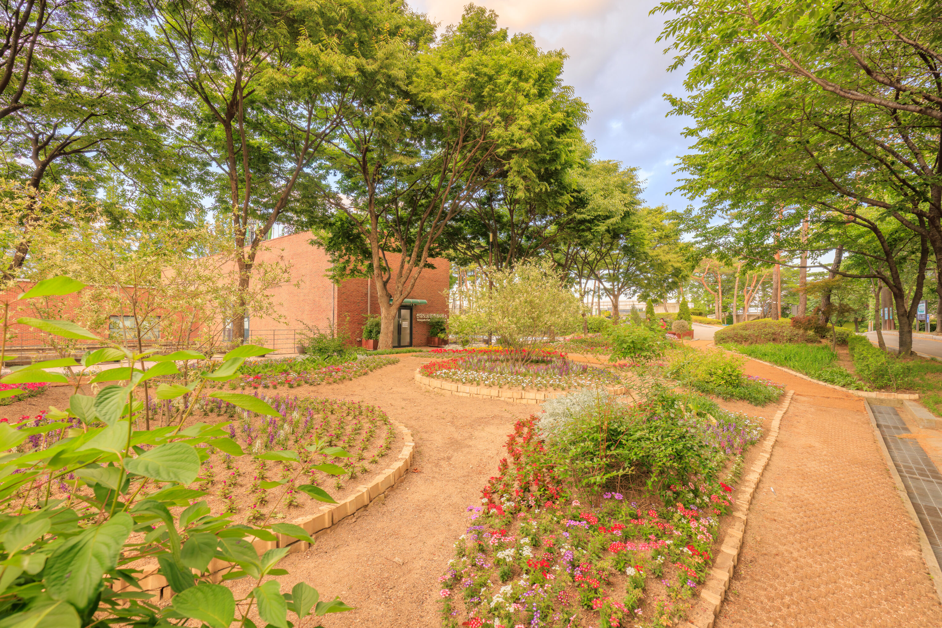
As we continued, we came across a landscaped area with quite a bit of small flowers. The building here also seems to be a visitor center.
We were now able to see the southern span of the Yanghwa Bridge ahead of us.
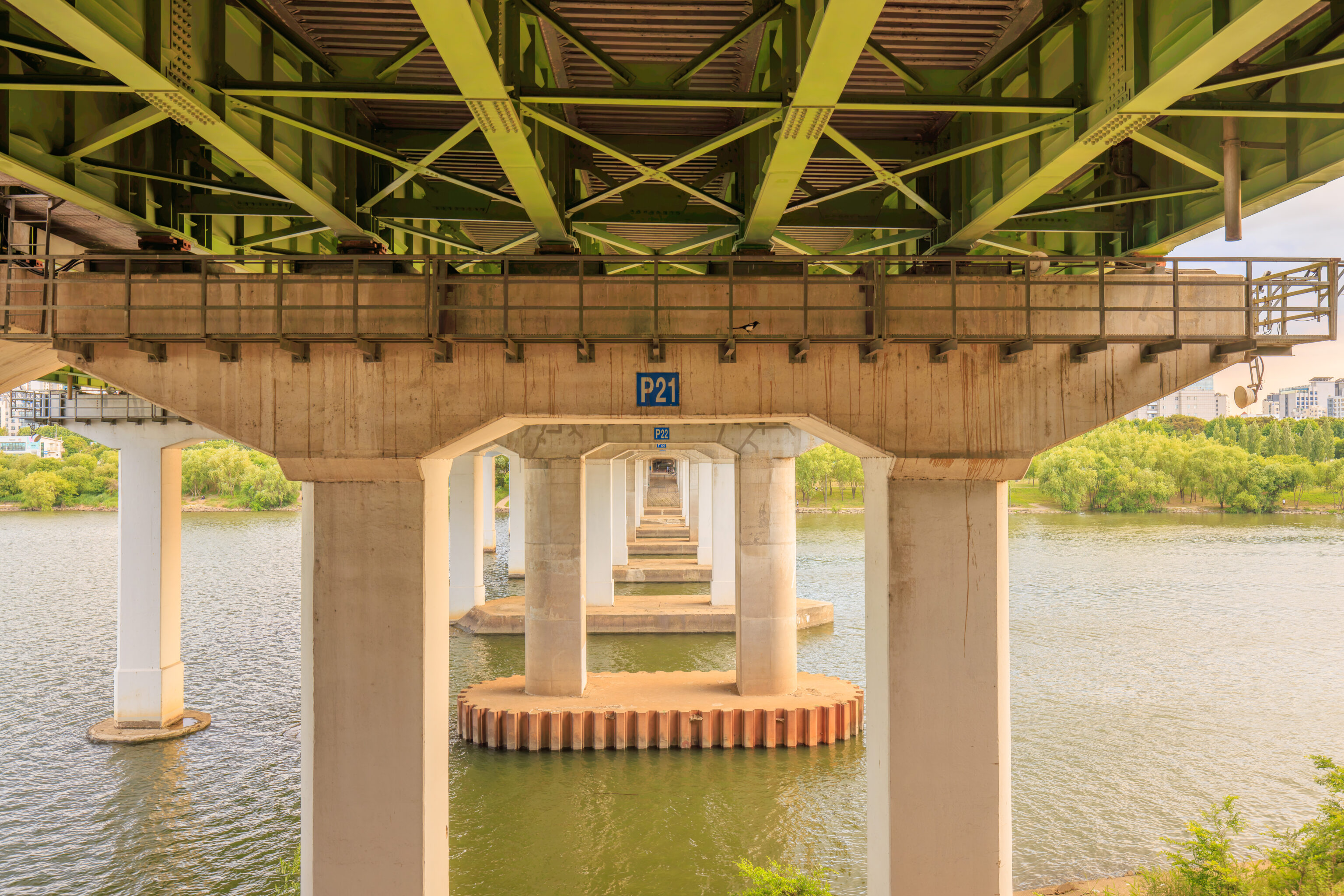
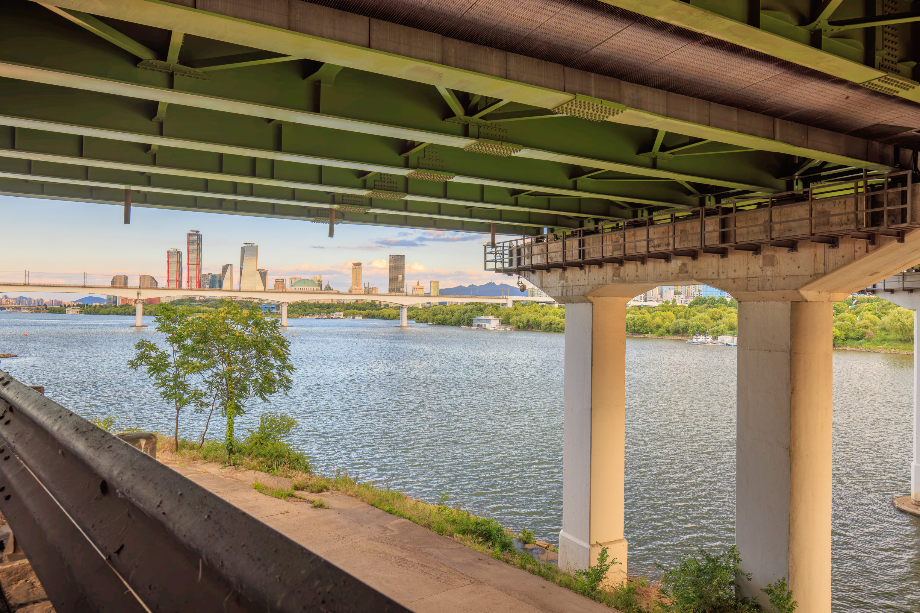
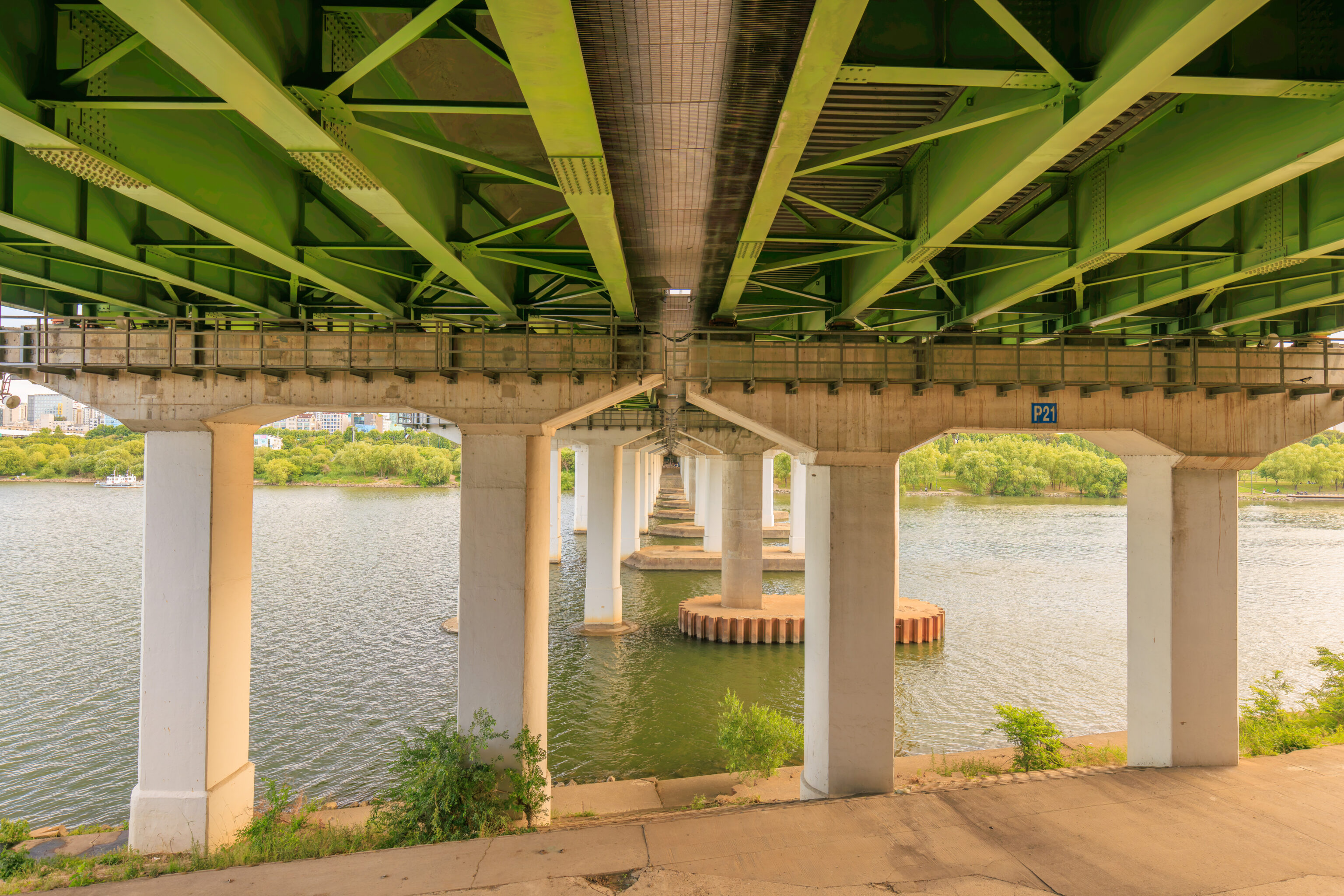
The Koreans drive on the right side of the road. As we were going to take a bus back to the north side of the Han, we needed to cross under the bridge to get to the bus stop.
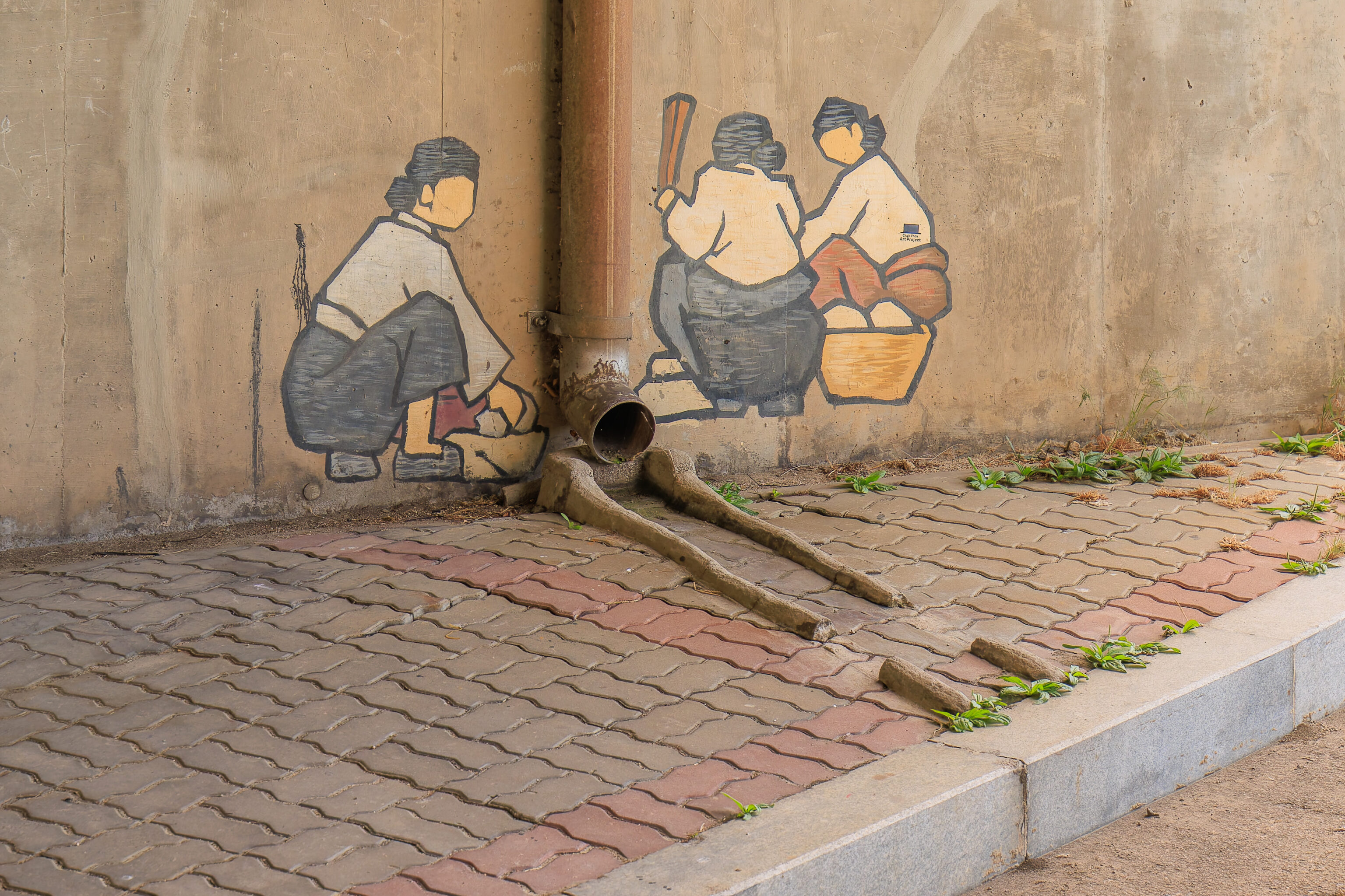
We passed by some art on a wall next to a drainage pipe.
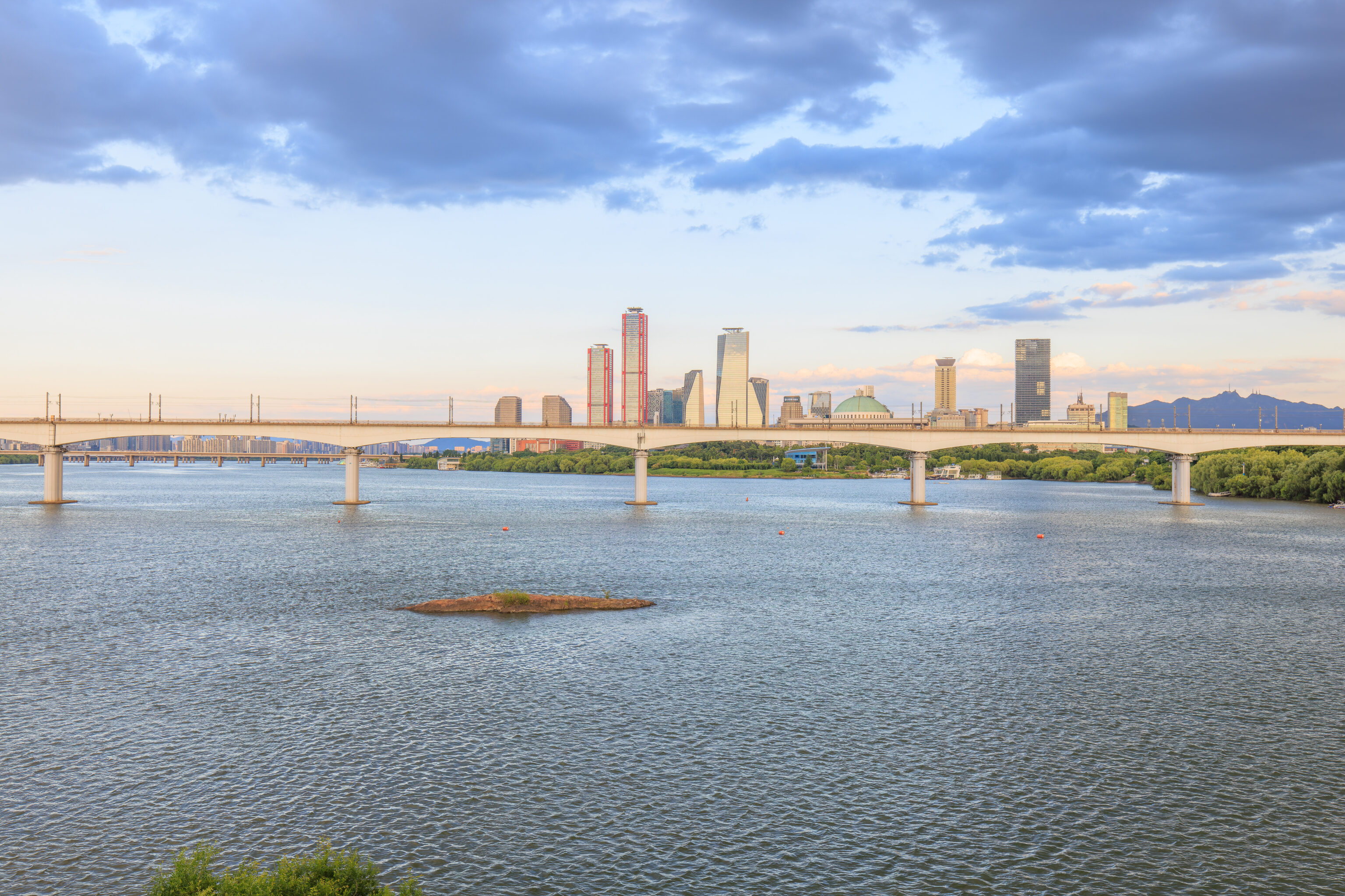
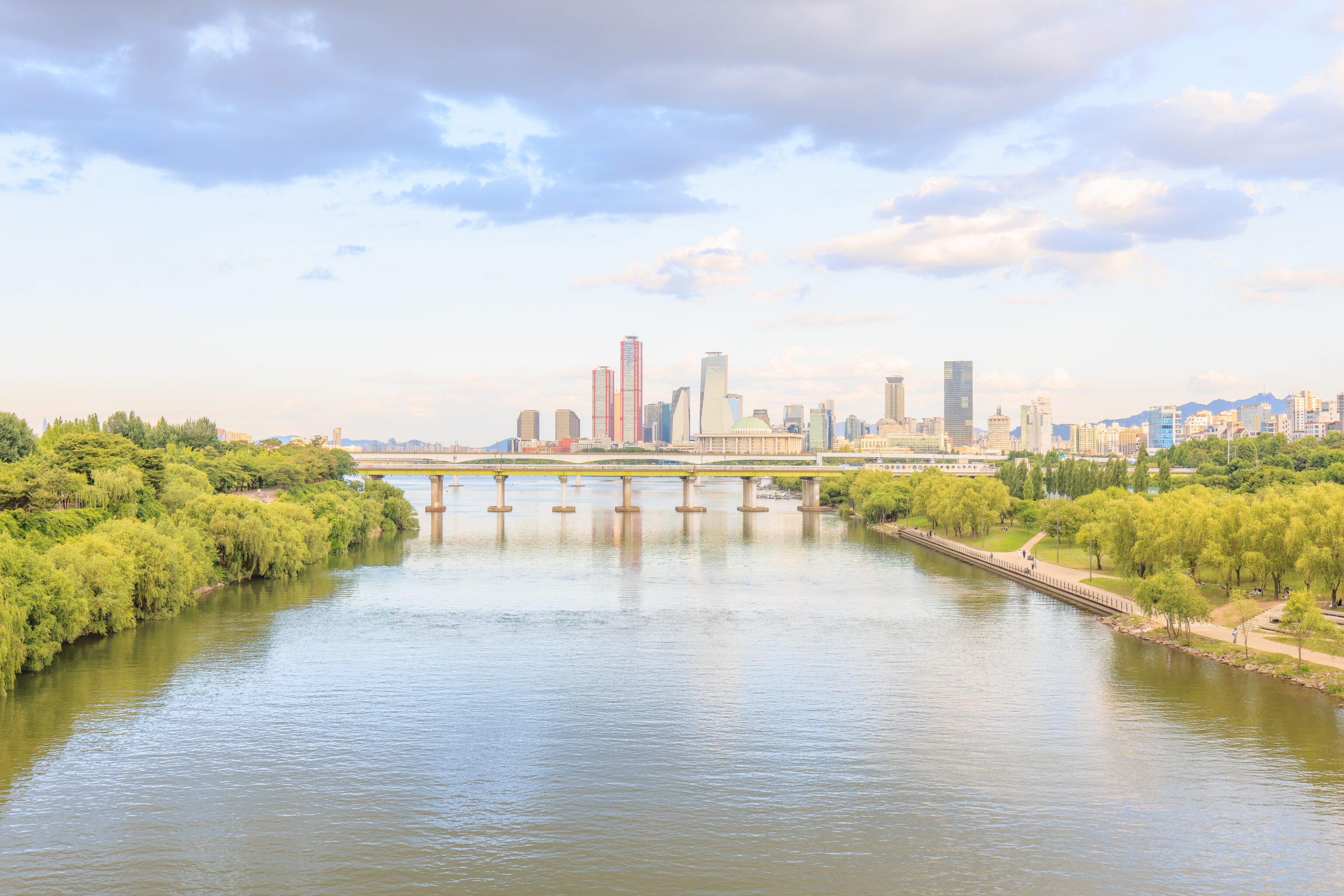
After going back up to bridge level, we looked to the southeast to see Yeouido. The dome of the National Assembly Building can be seen, though most of the building is obscured by the railway bridge between us and the island.
Turning to the left a bit, we could see the N Seoul Tower to the east.
Hongdae
We caught the next bus that arrived to return to Hongdae. Time for dinner!
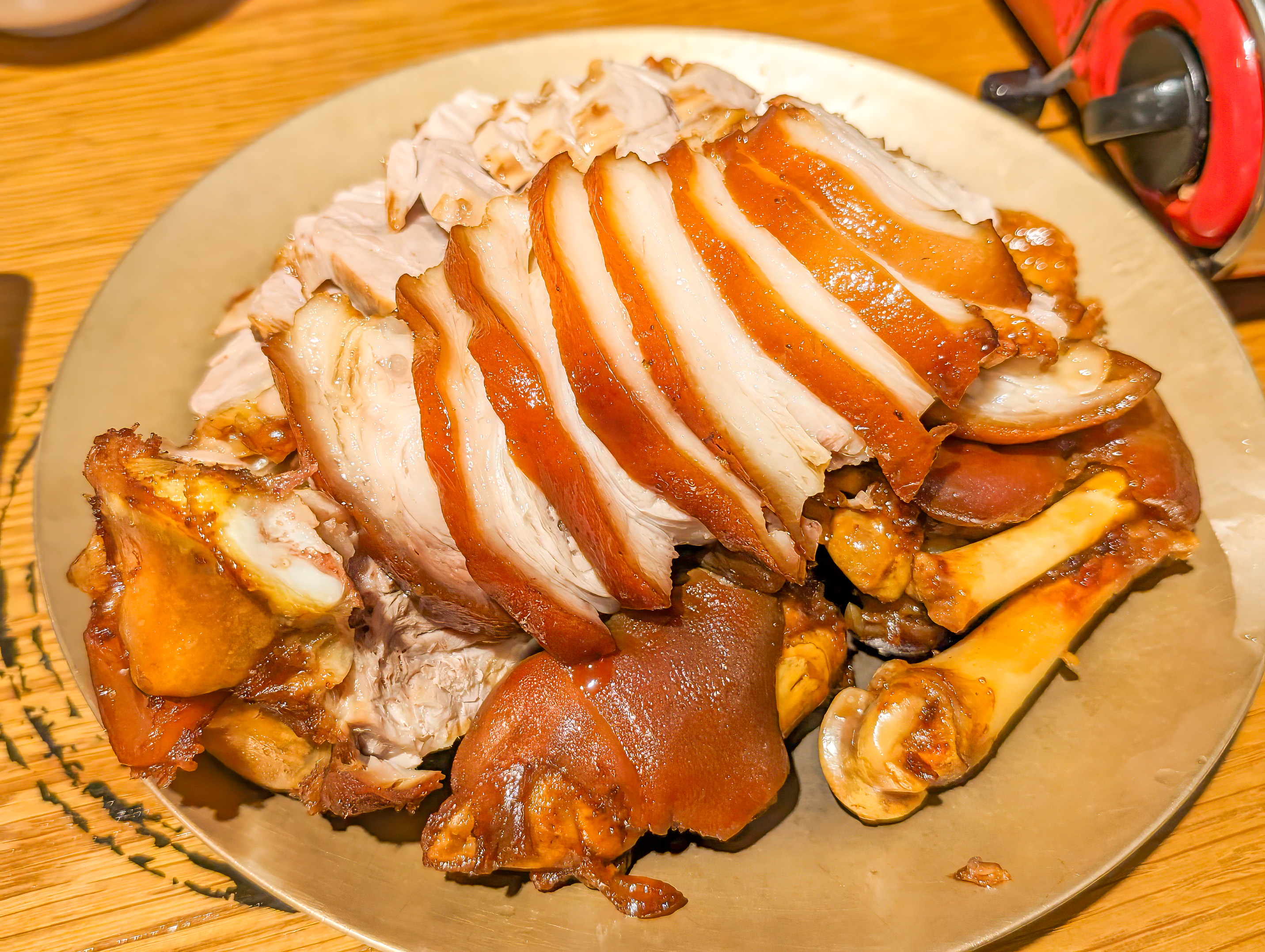
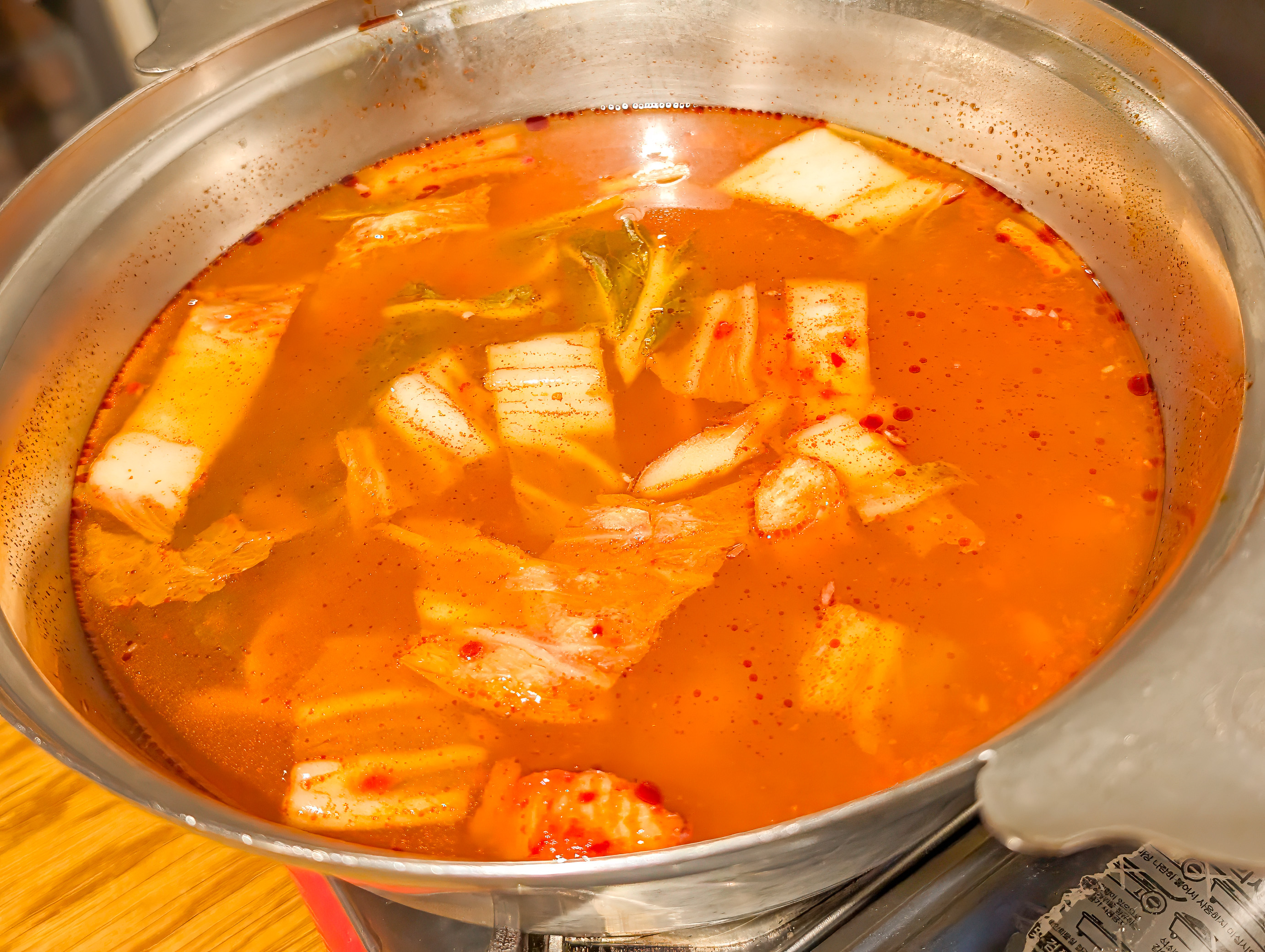
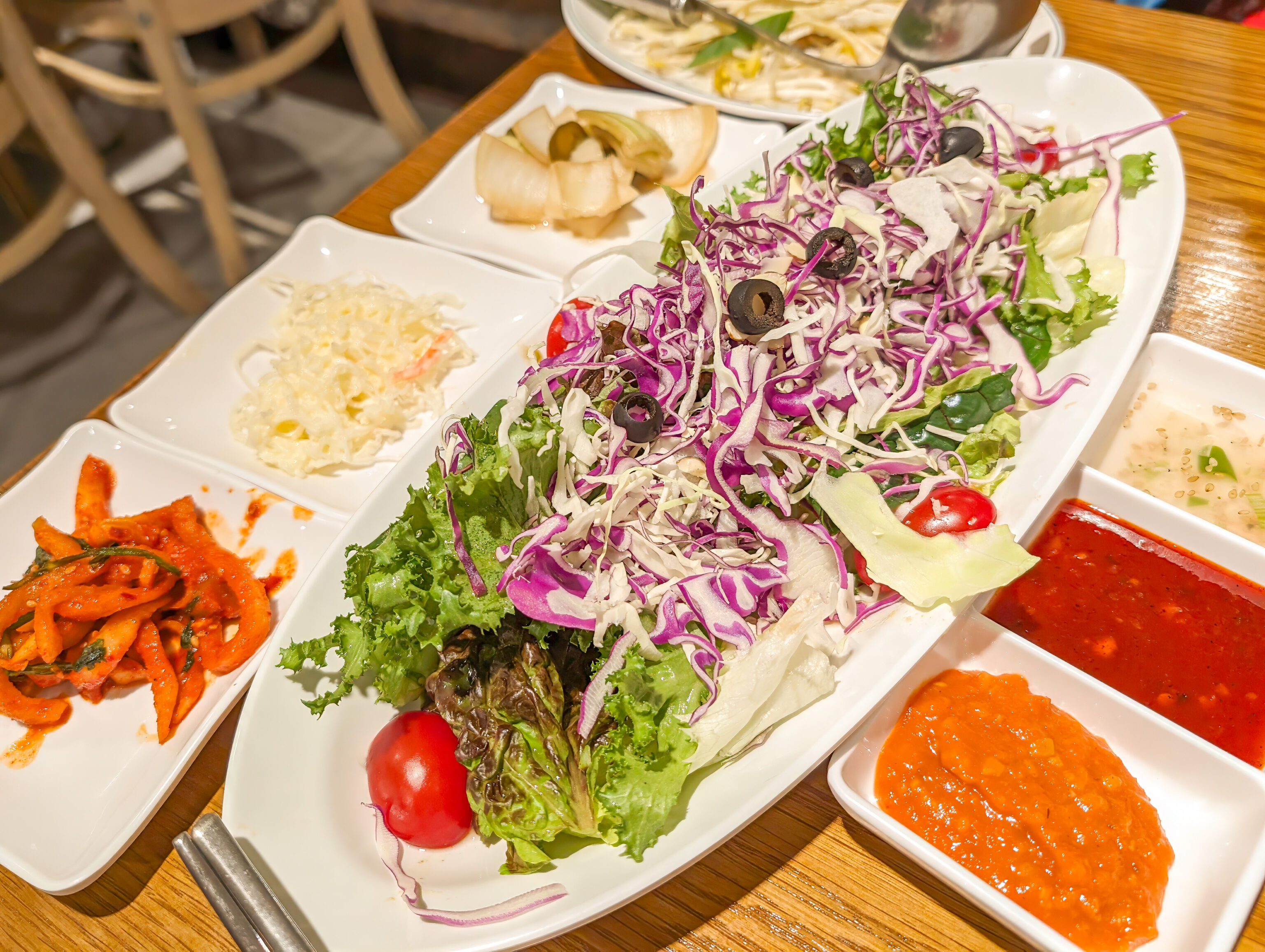
We decided to try something new for dinner today at 미쓰족발 Myth Jokbal. Jokbal is pig’s feet. It was pretty good though the skin is extremely oily. Personally, I think I’d prefer if it got turned into chicharrones!
After dinner, we walked around a bit and decided to get a snack.
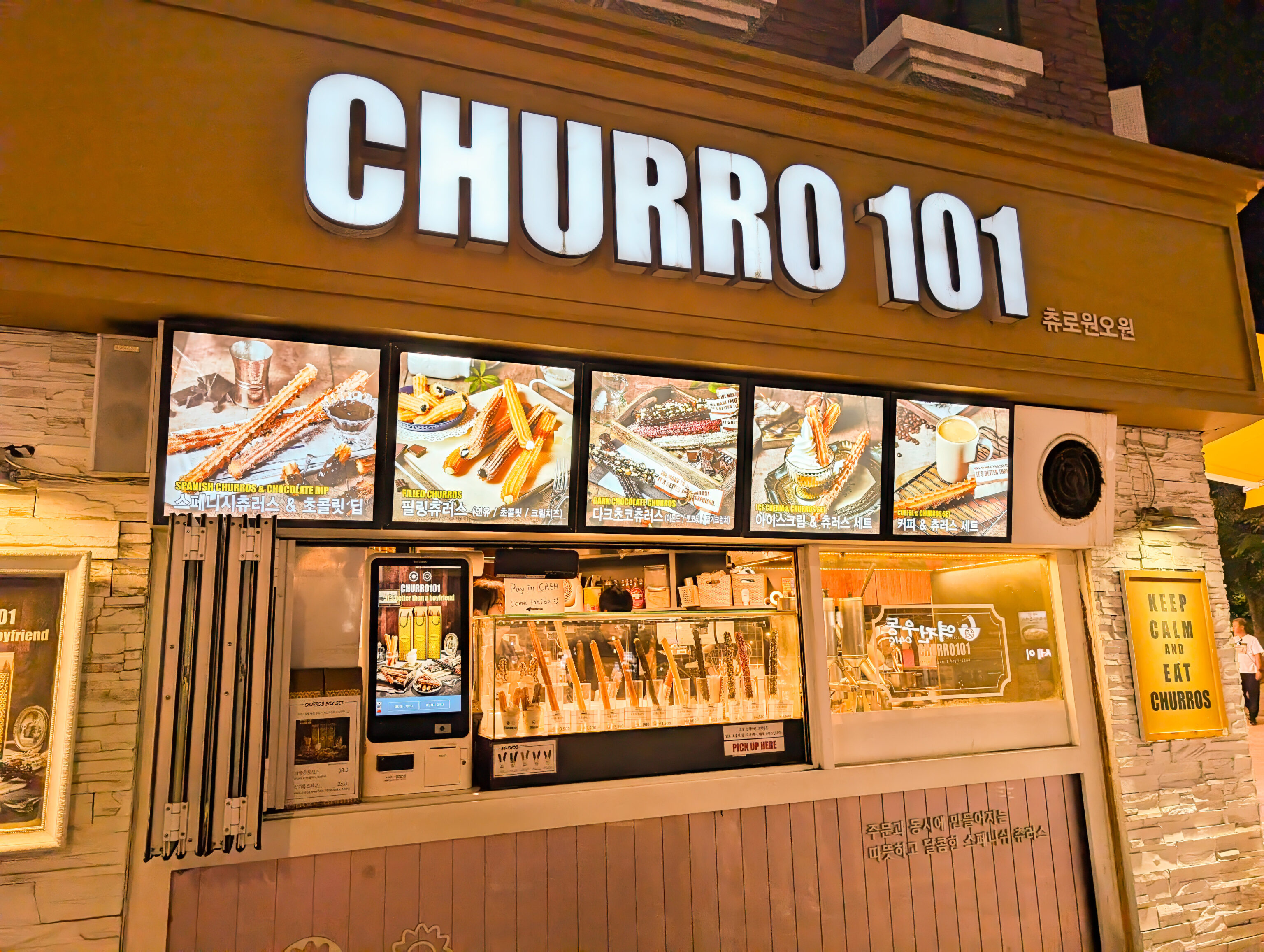
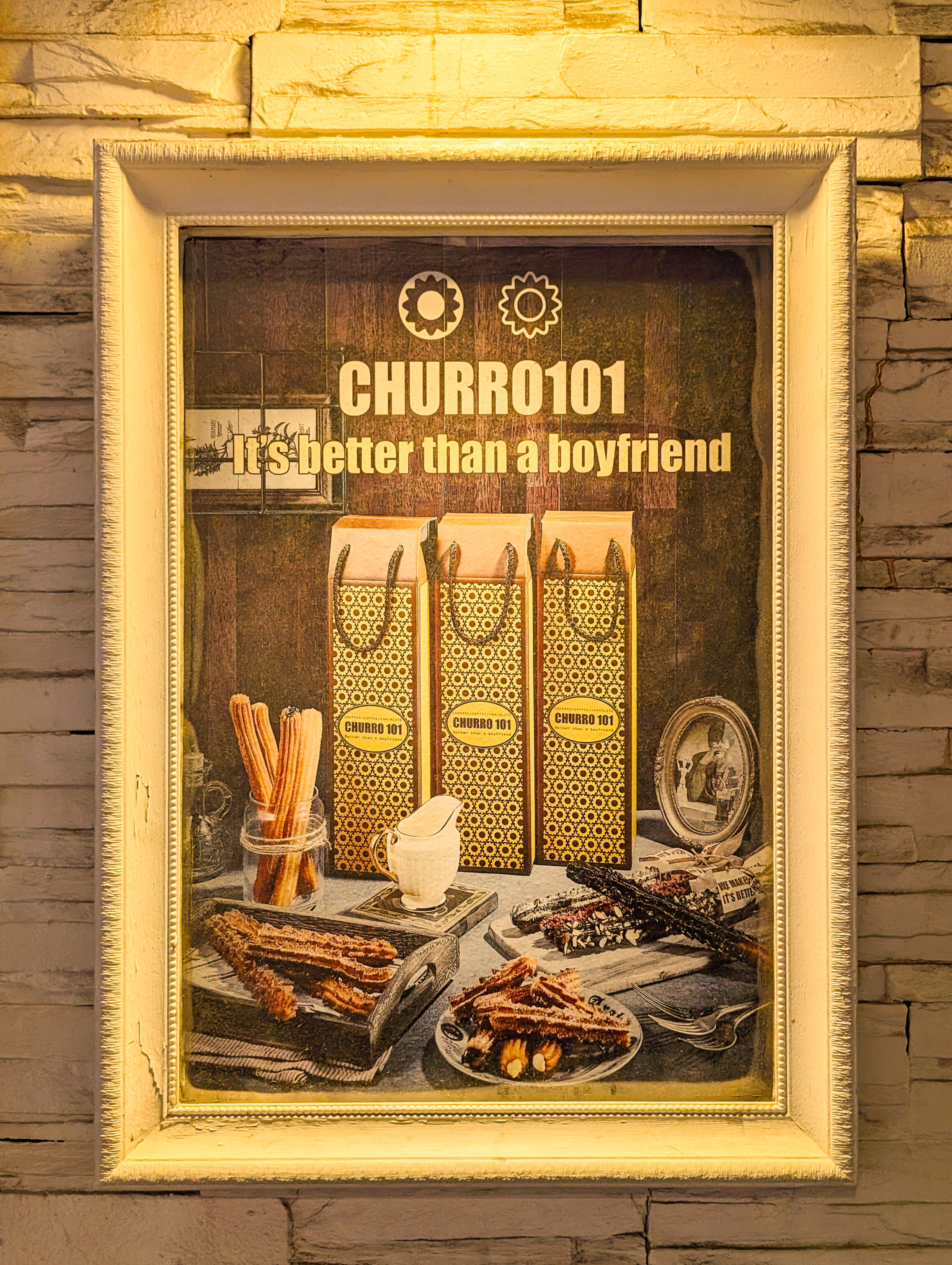
Previously, we noticed a small shop that sells churros. It seemed to be pretty popular and so we decided to give it a try! After all, nothing says Korea like churros 😂
츄로원오원 Churro101 actually has 3 stores in Korea, a few in Singapore, and one in China.
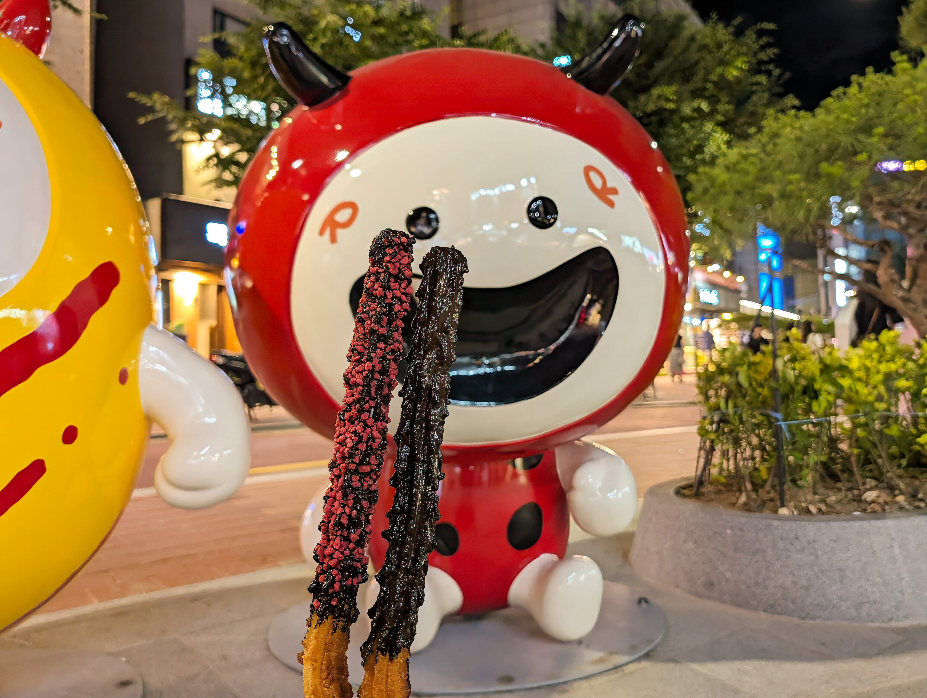
We got dark chocolate and dark chocolate strawberry crunch. They also have some additional variations like filled churros and churros with ice cream. The churros are prepared fresh and thus come out hot. Both were excellent and just a little sweet, as one would expect from dark chocolate.
We walked back to the RYSE to end the day.