
After breakfast at the Indigo Hakone Gora, we headed up to Owakudani to check out the thermal area and to have some of area’s famous black eggs. We also enjoyed a beautiful, though hazy, view of Mount Fuji. After, we headed over to the Komagatake Ropeway for an alternate high elevation view of Mount Fuji and the surrounding area. Before returning to the Indigo in the afternoon, we visited a beautiful row of sakura at Miyagino, just across the river from the hotel.
Morning
After waking up at the ホテルインディゴ箱根強羅 Indigo Hakone Gora, we enjoyed the in-room onsen before heading downstairs for breakfast.
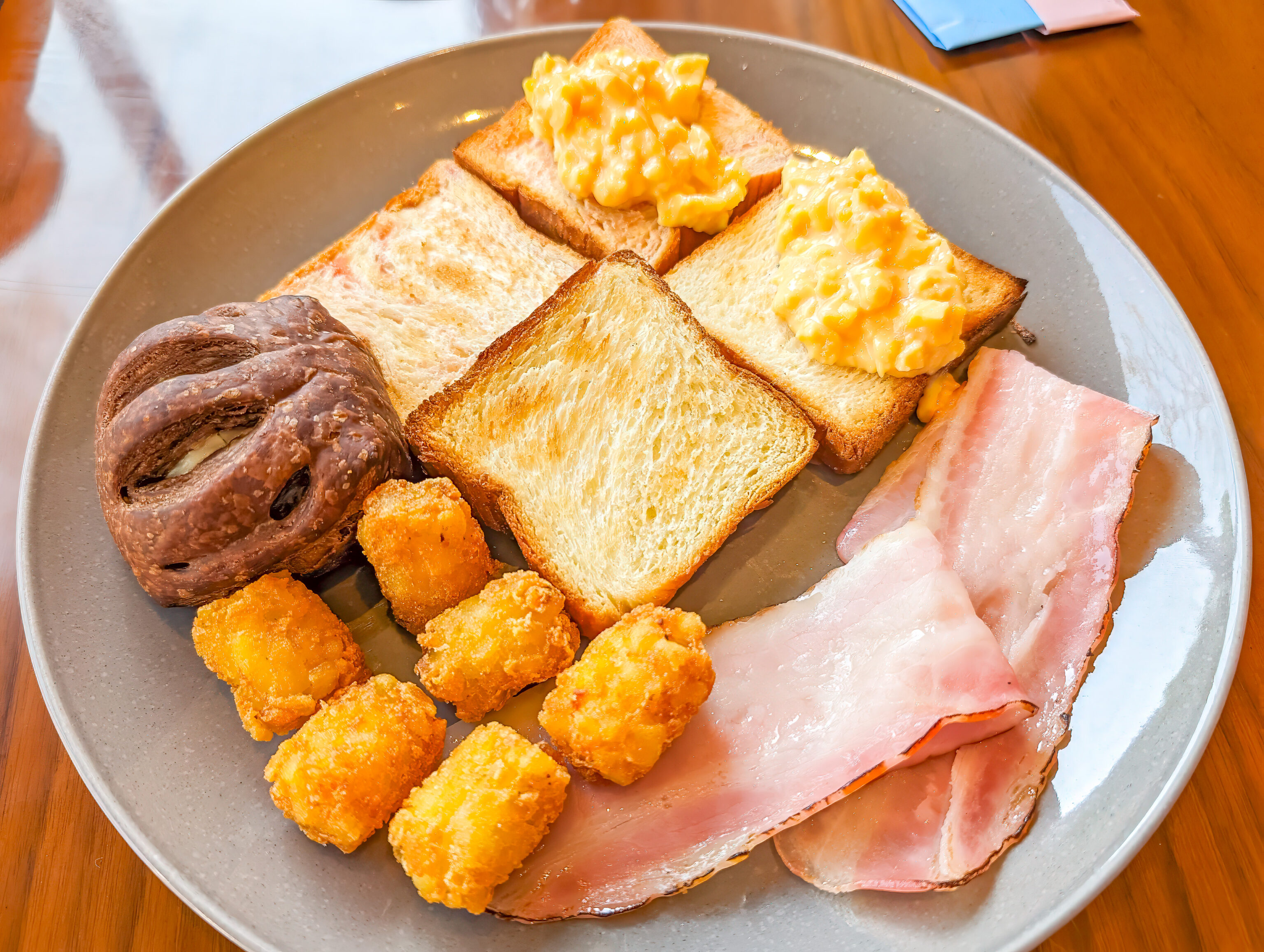
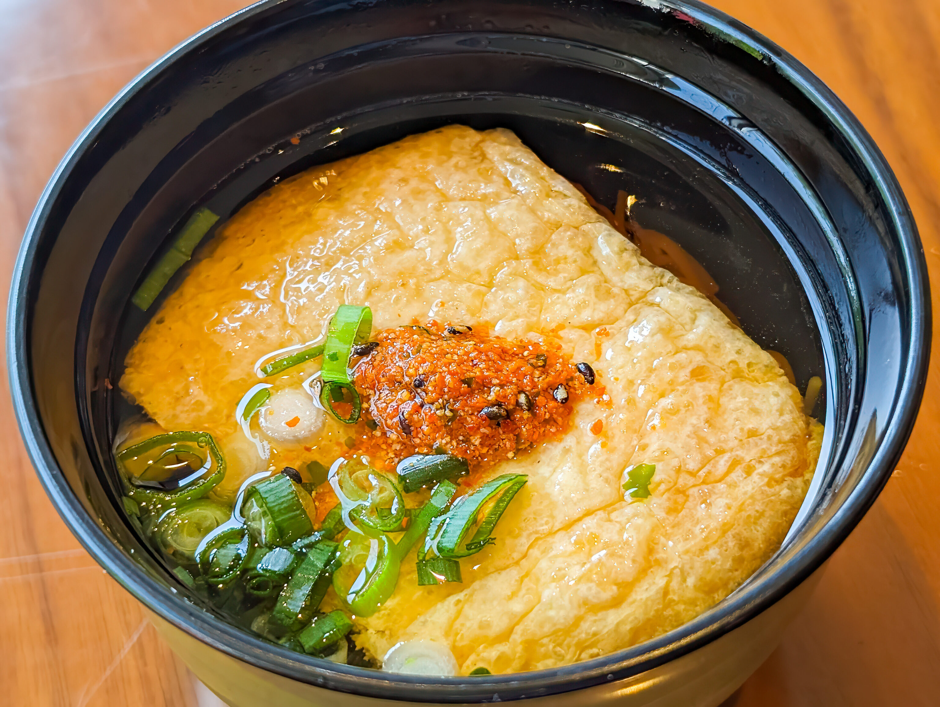
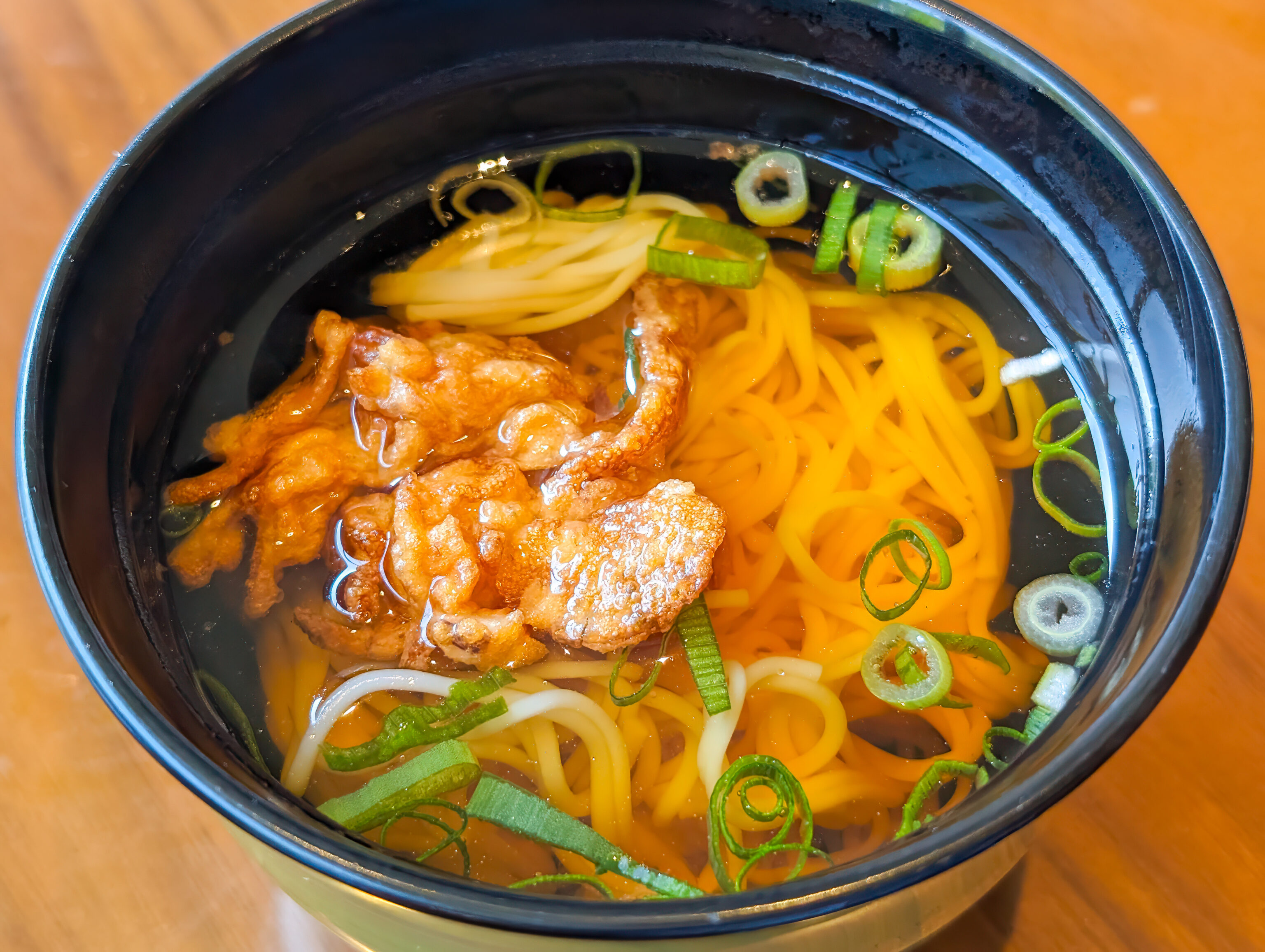
The buffet had a nice selection of western and Japanese dishes! There was quite a bit good here. The omelette was excellently prepared. The tater tots were nice and crispy. The tiny pieces of bread were excellent. And the little bowls of soba were fantastic!
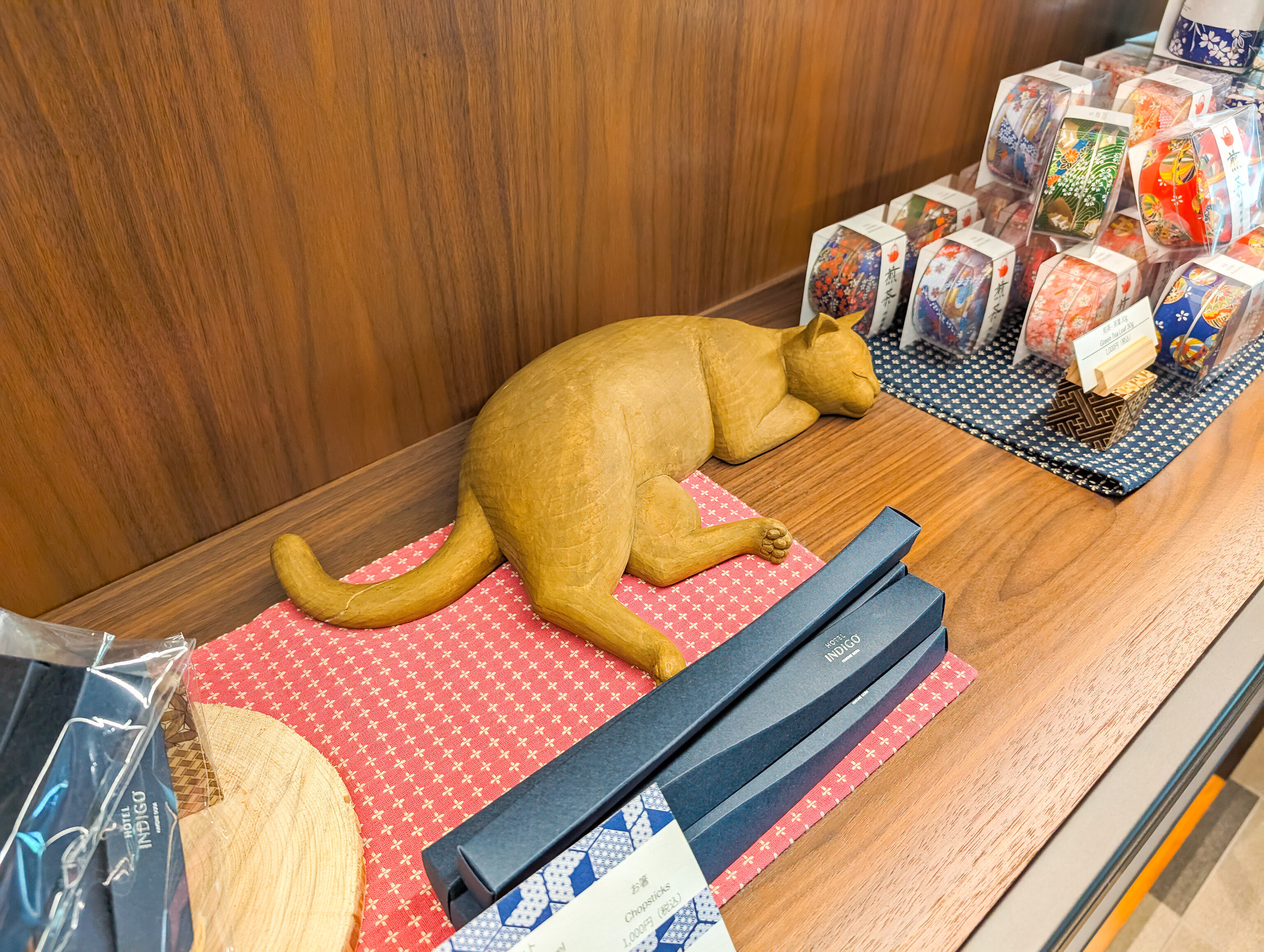
Meow! There were various things for sale in the lobby by the restaurant area.
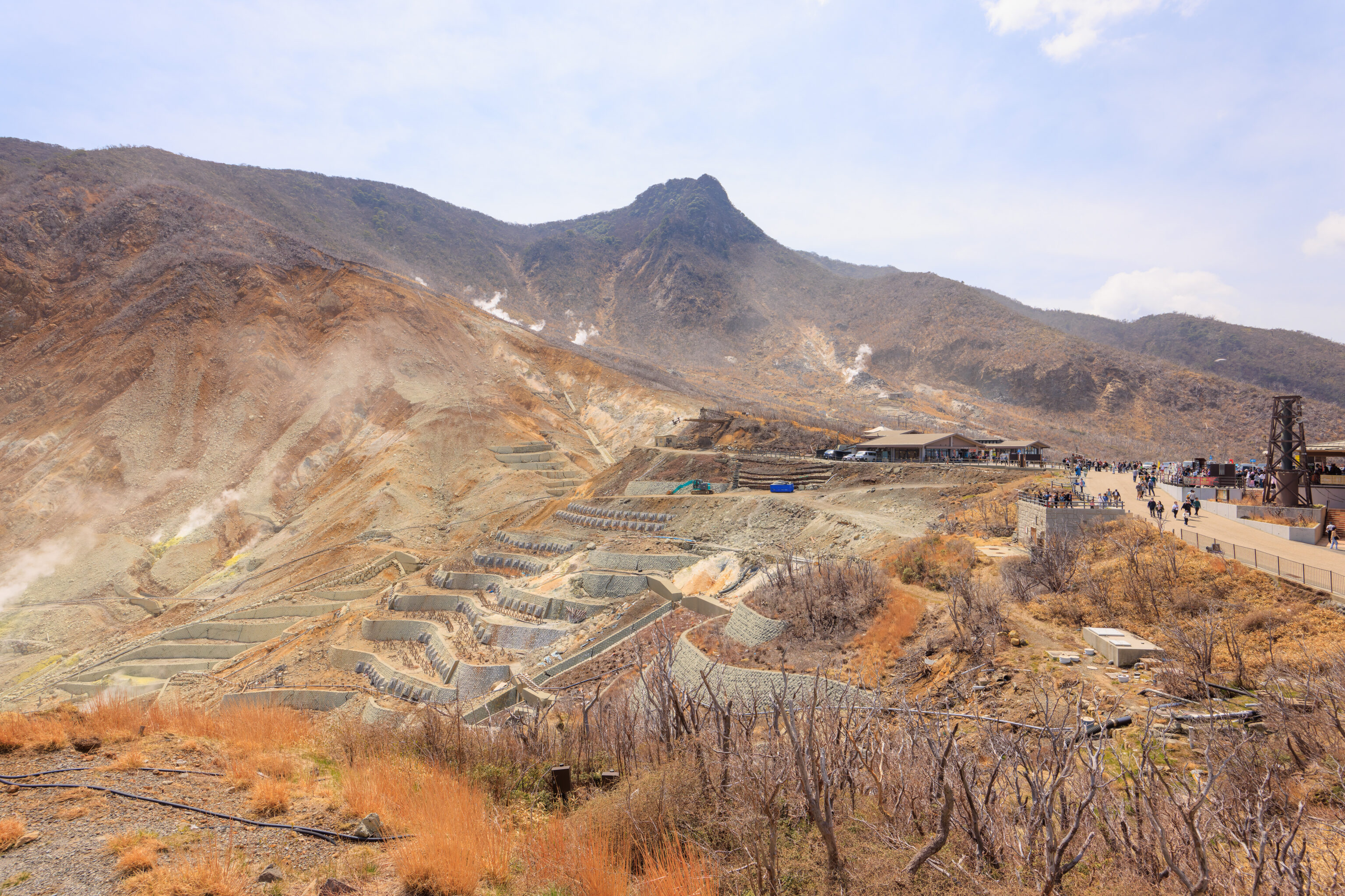
Owakudani
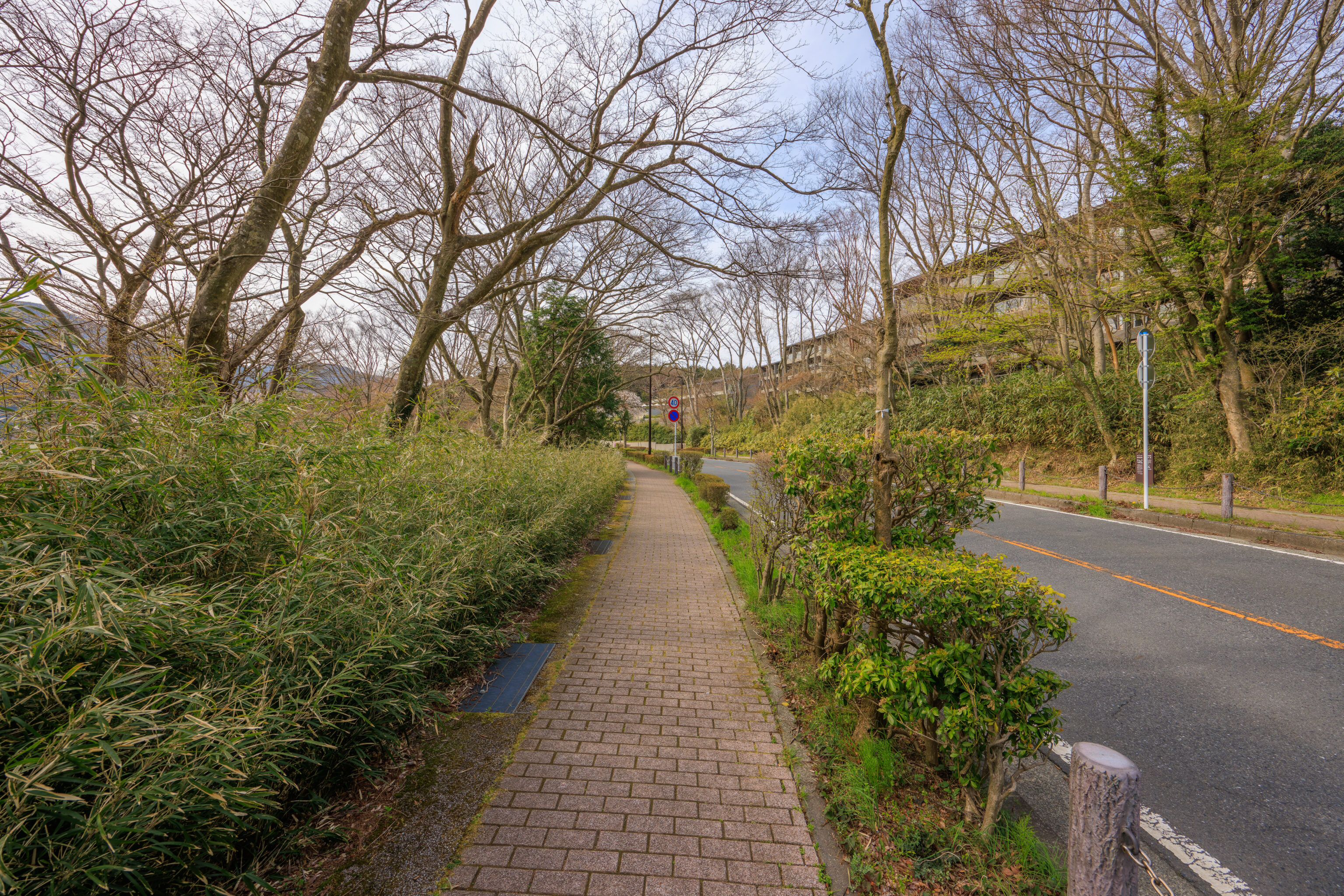
The Indigo’s local shuttle service doesn’t start until 10am, and we wanted to get an earlier start. We decided to take a bus to 桃源台駅 Togendai Station from the 宮城野橋 Miyagino Bridge bus stop, the closest one to the Indigo. Google Maps had current timetable data which made navigating easier, plus, each station has the timetable displayed as well.
The ride was fairly quick, taking only about 20 minutes. The bus wasn’t too busy at this hour, making it a pretty good option. We were able to get seats for the whole ride.
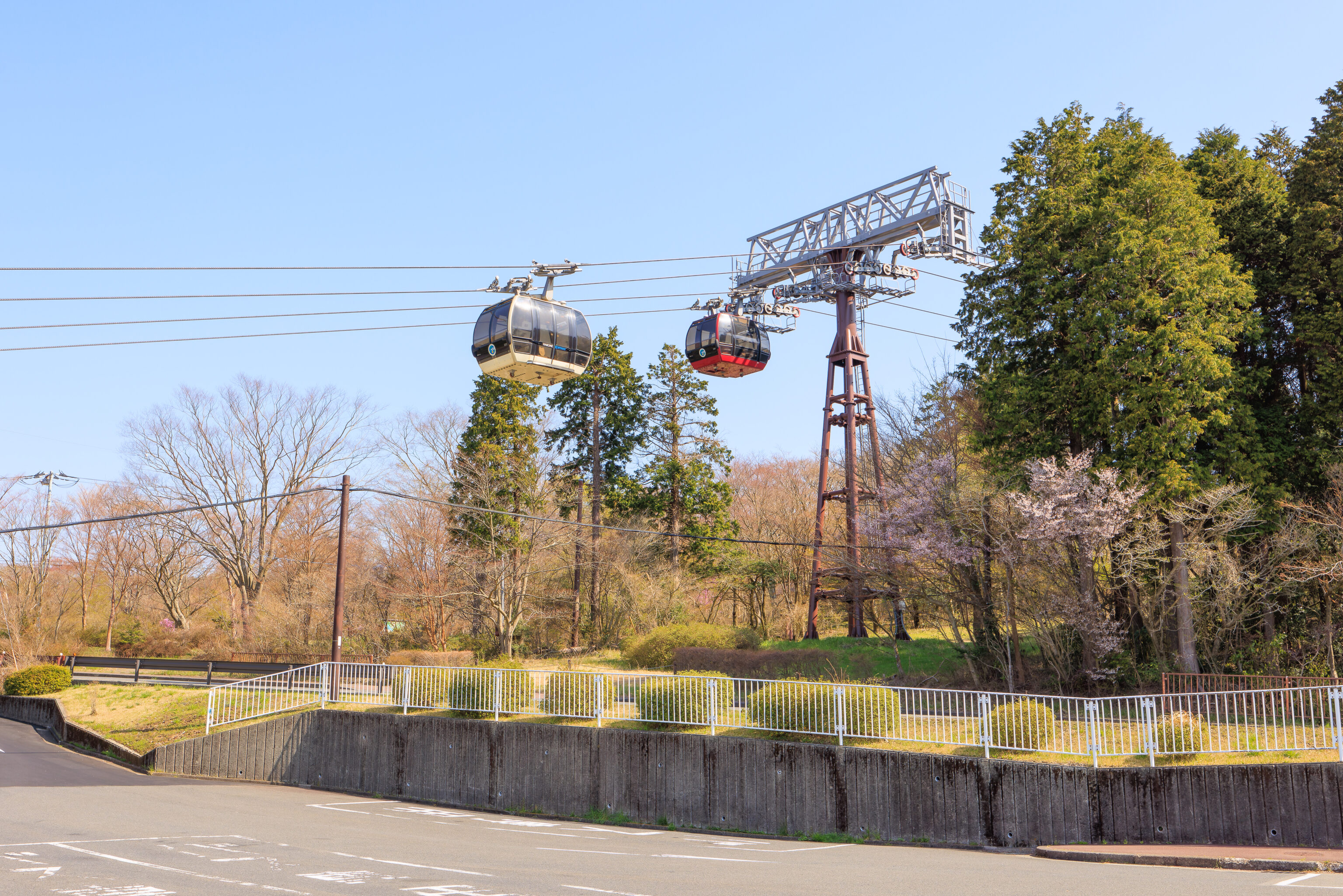
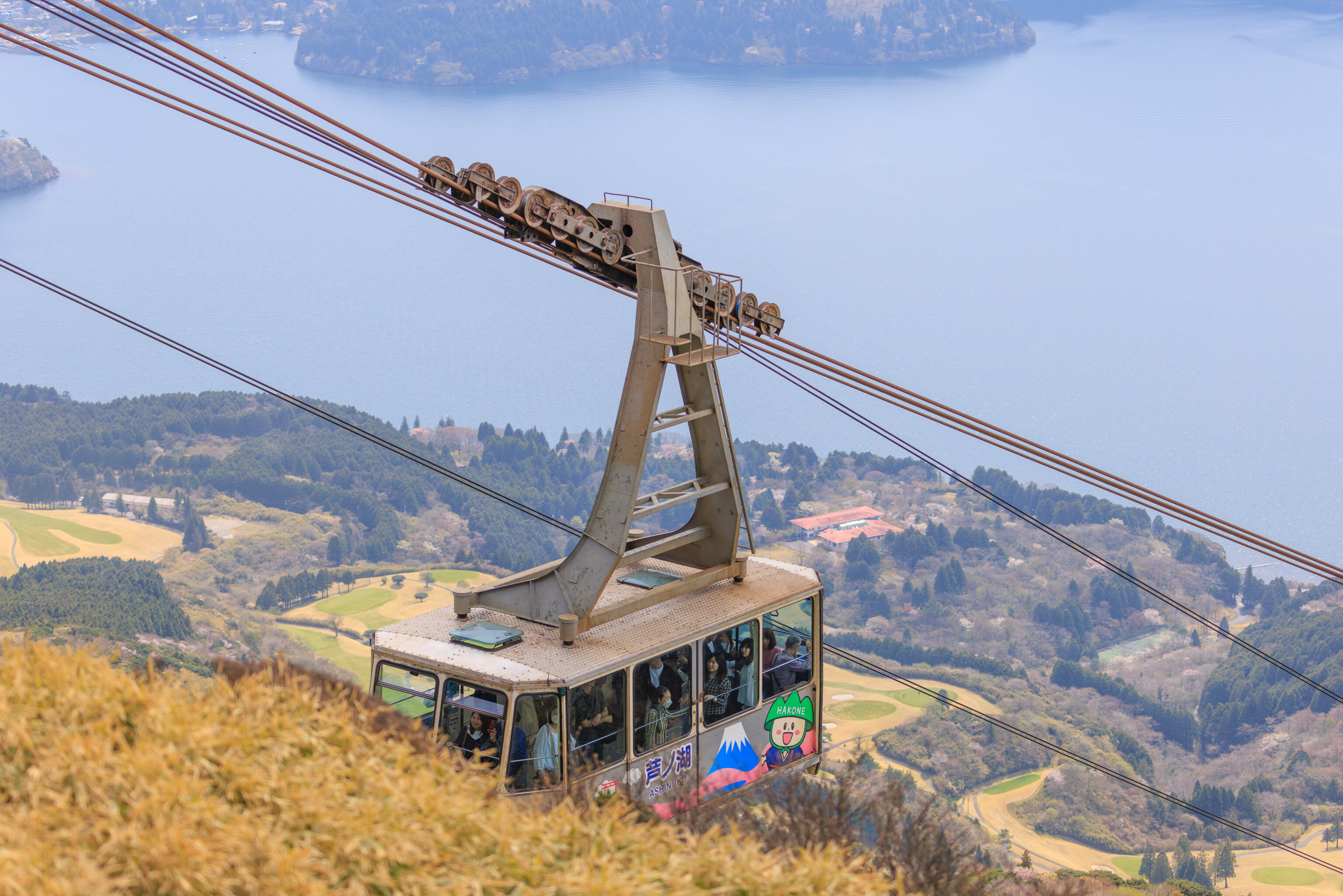
The final bus stop on the route is right in front of the Togendai gondola station, the western end of the 箱根ロープウェイ Hakone Ropeway.
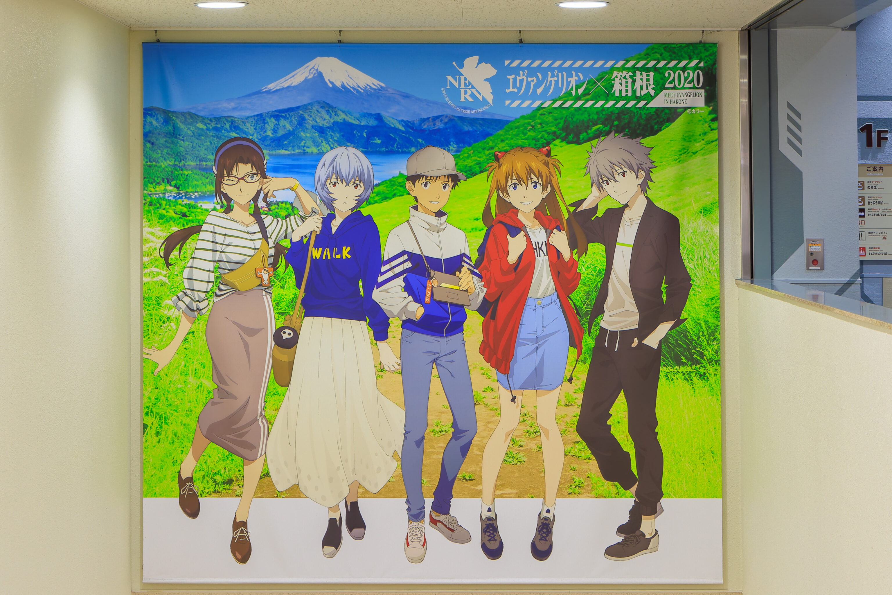
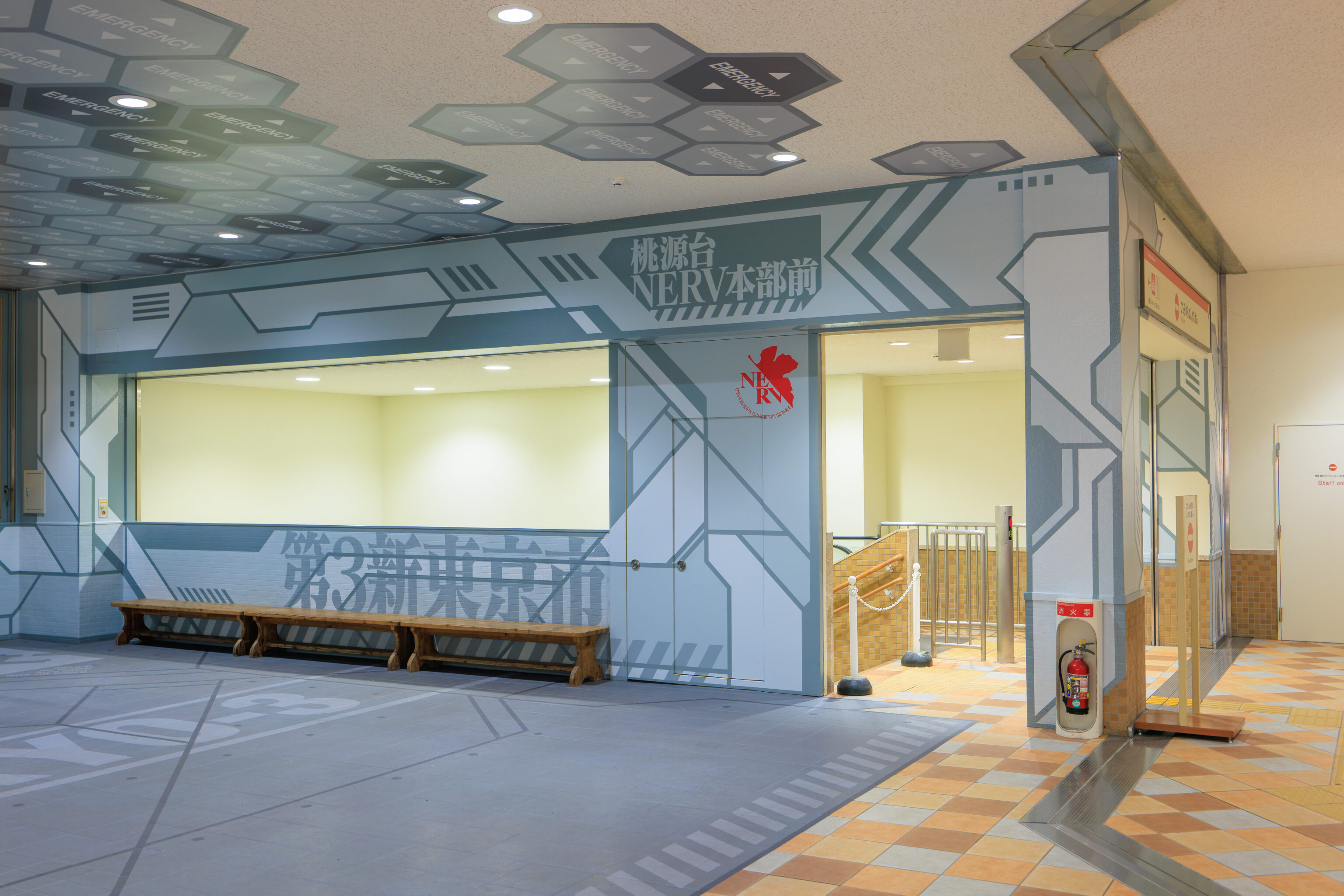
We took a closer look at the Neon Genesis Evangelion promotional area from 2020. The station was basically empty as the pirate ship doesn’t start until 9:30am and the gondola officially opens at 9am, just after we arrived.
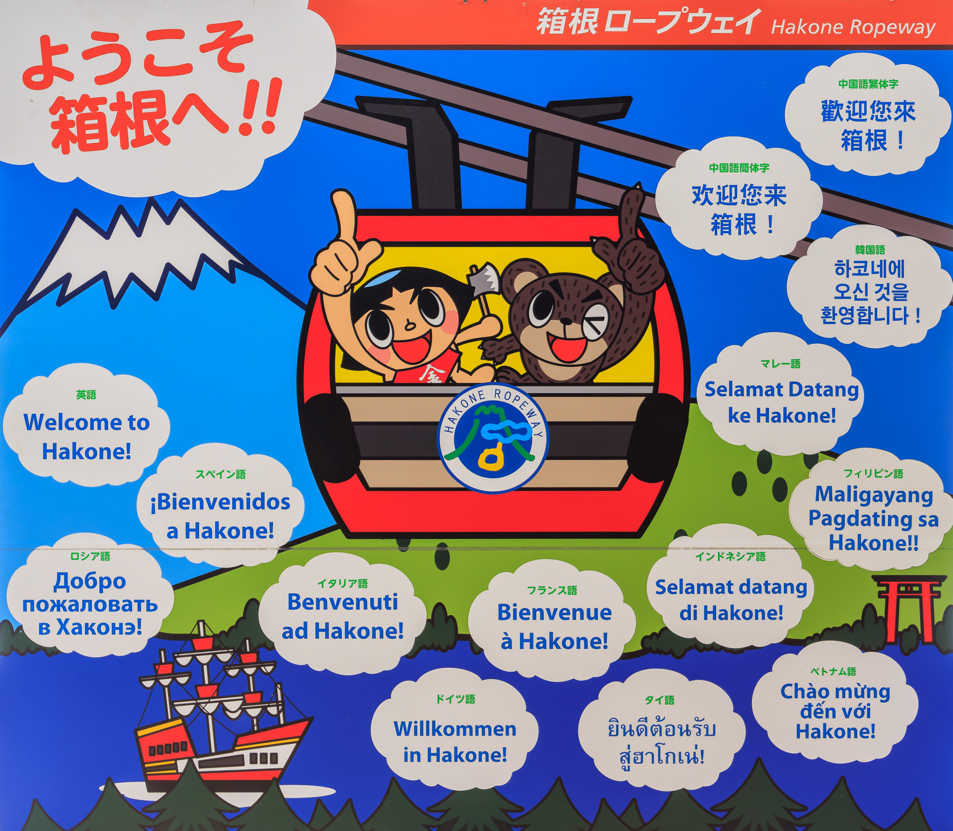
Welcome to Hakone!
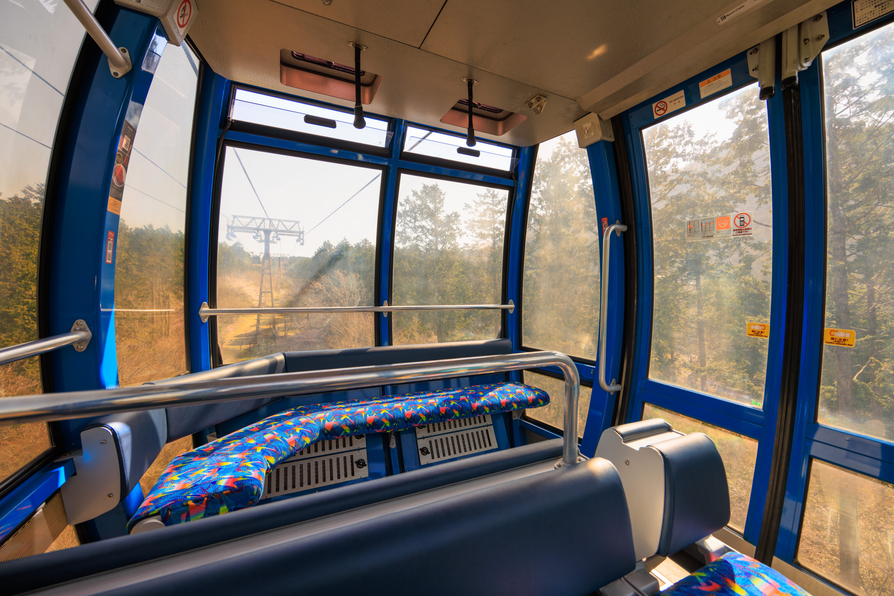
We got an entire gondola to ourselves as there was no one else around. Unfortunately, the gondola’s windows were pretty dirty.
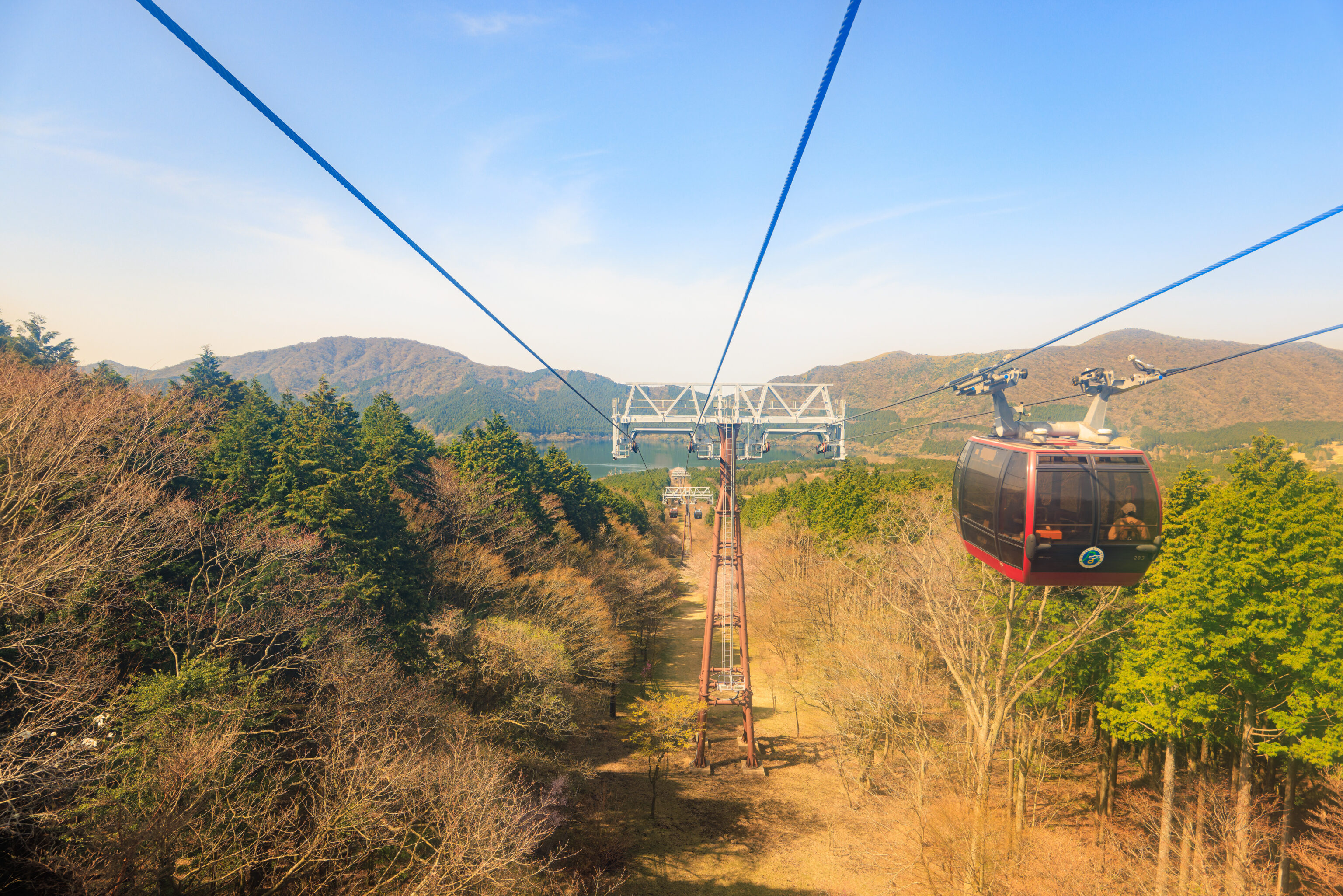
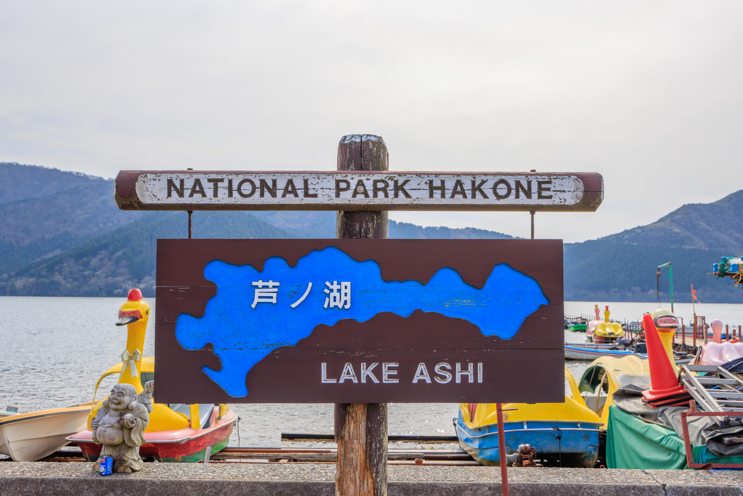
The view looking back as the gondola route climbed up and away from 芦ノ湖 Lake Ashi.
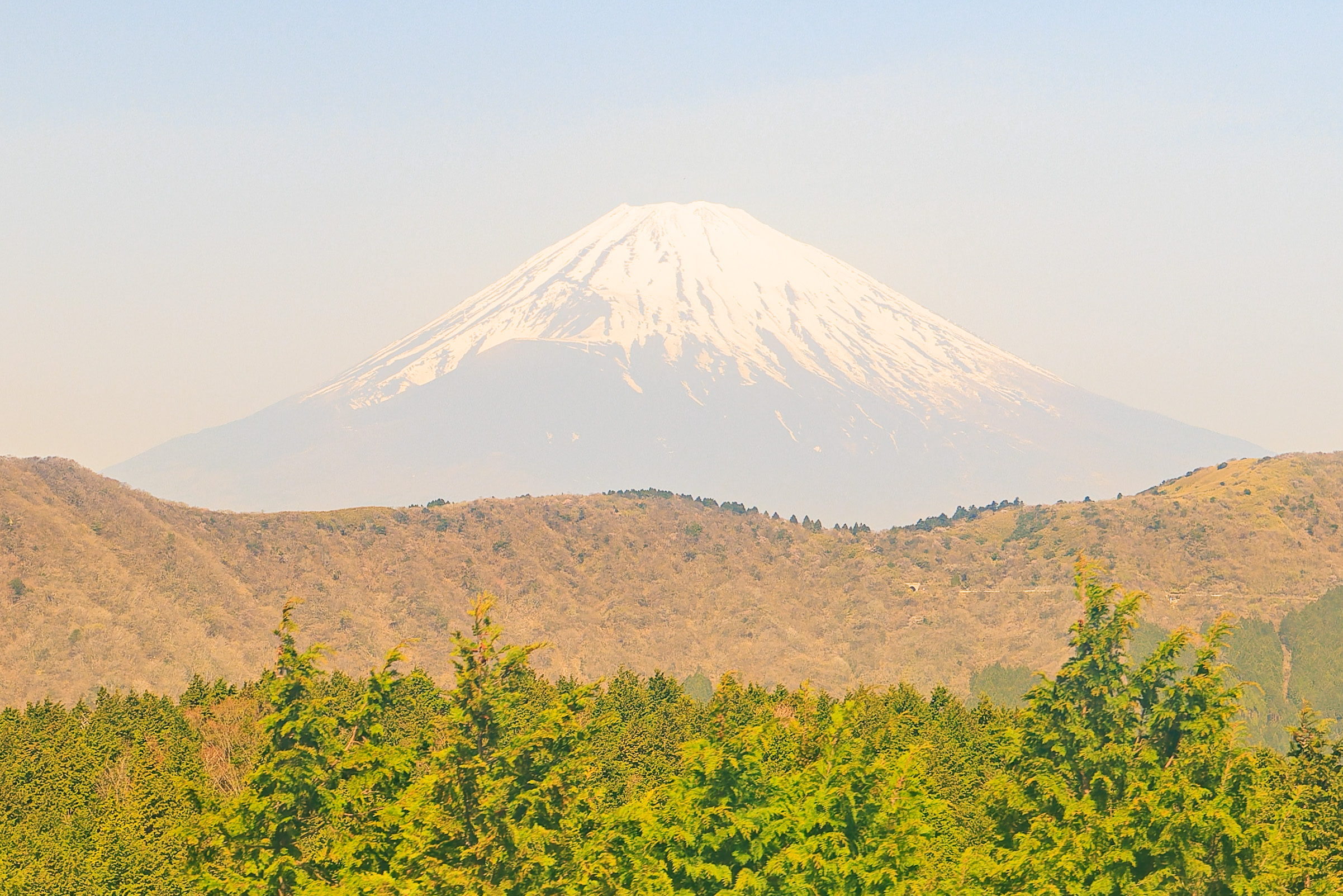
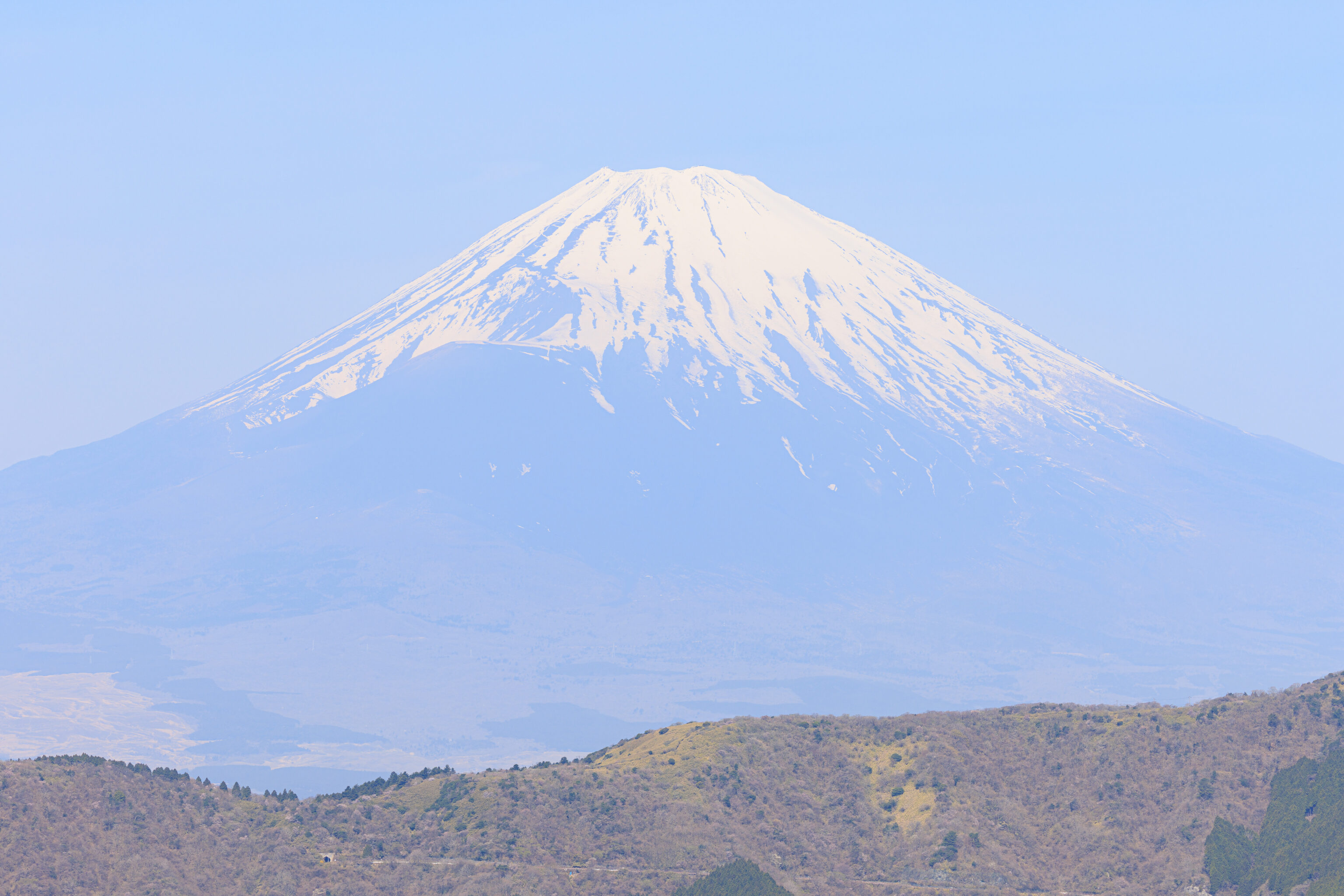
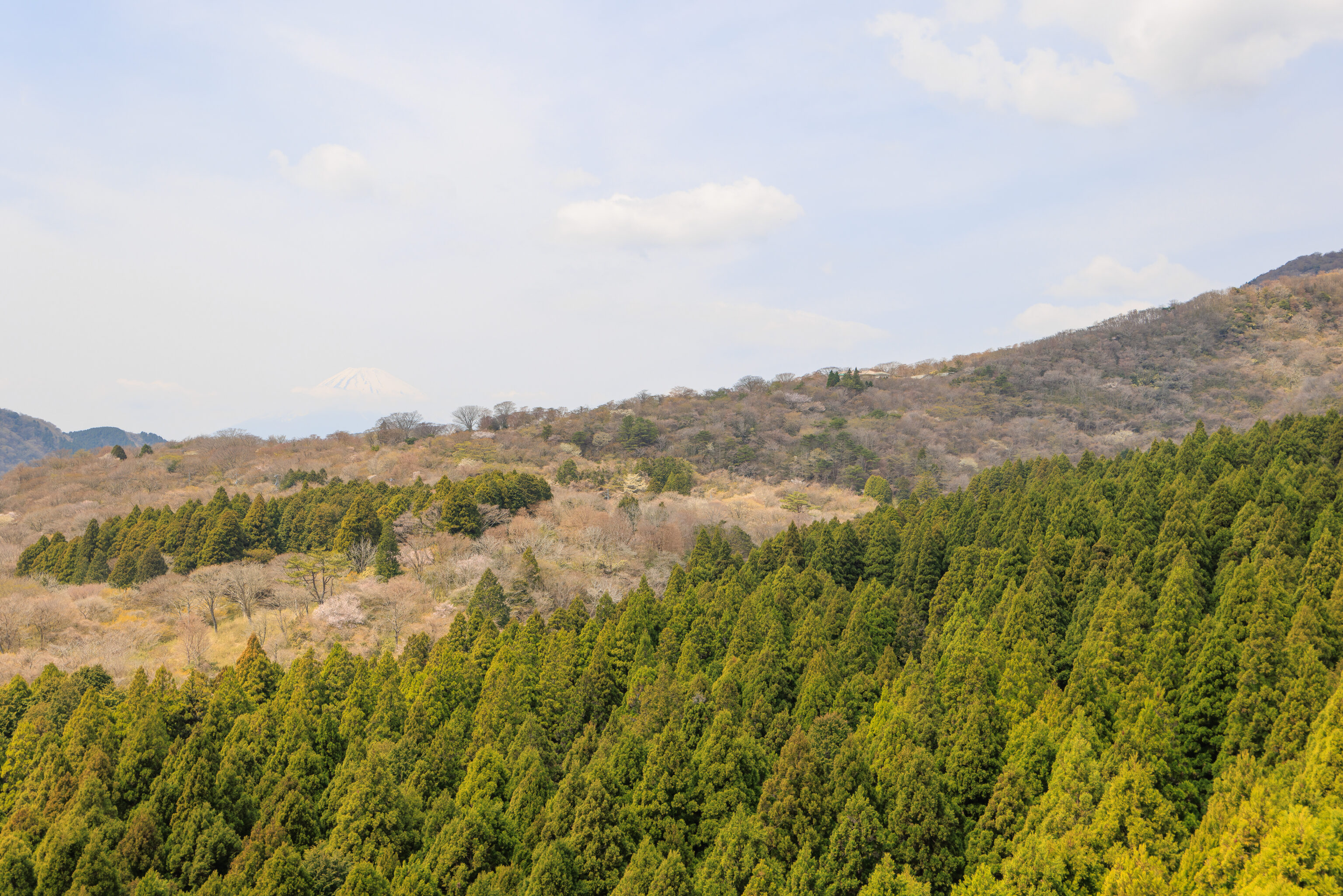
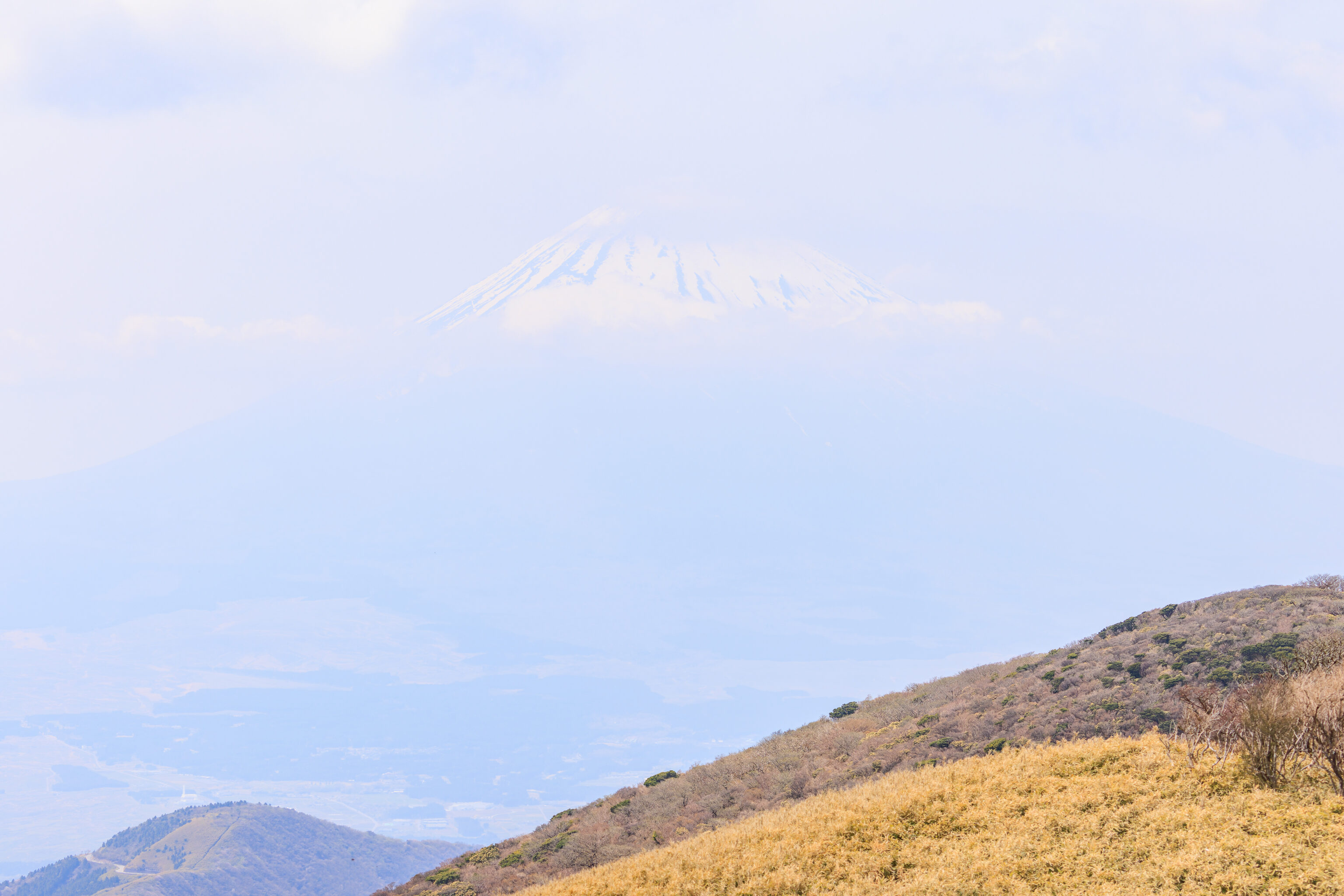
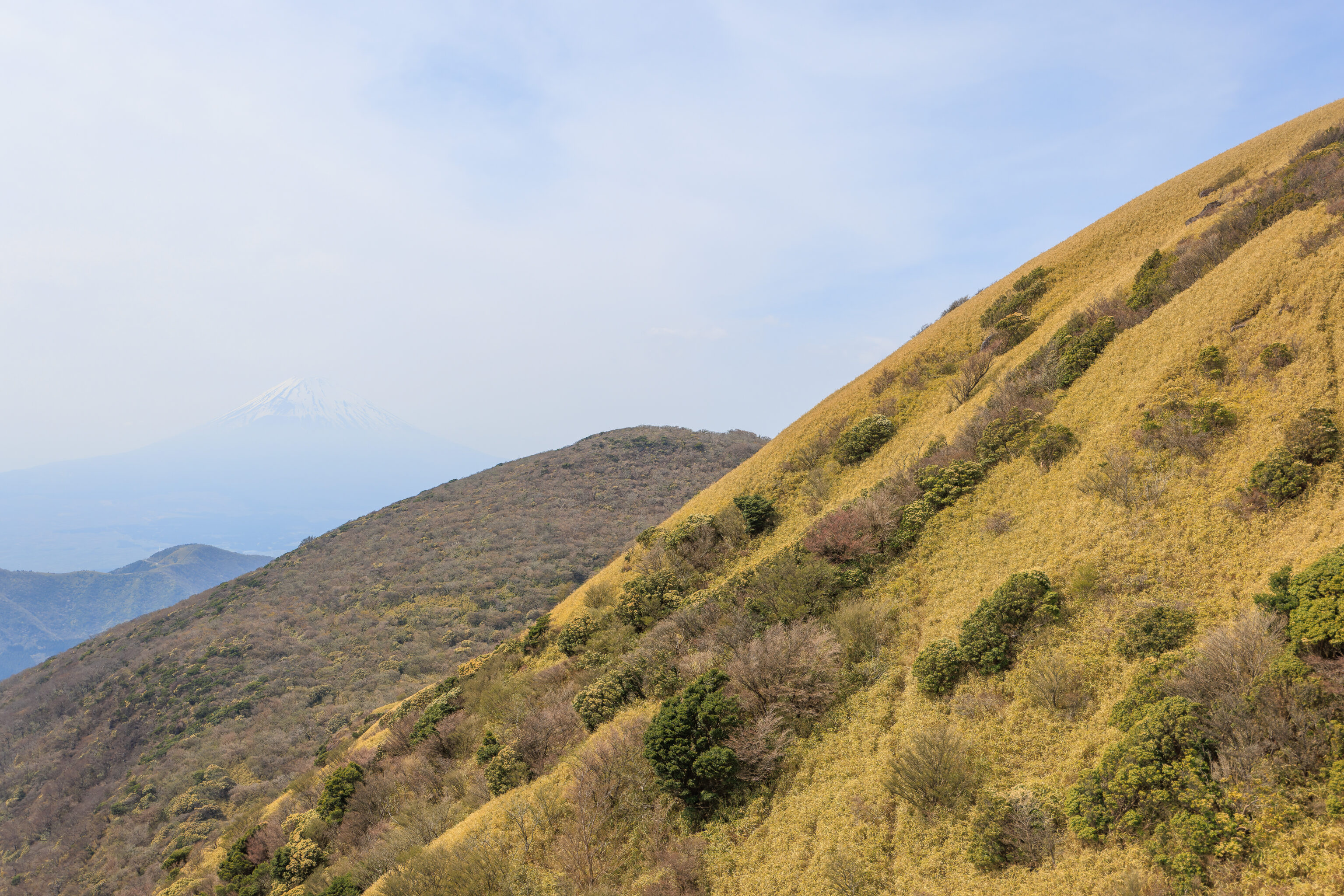
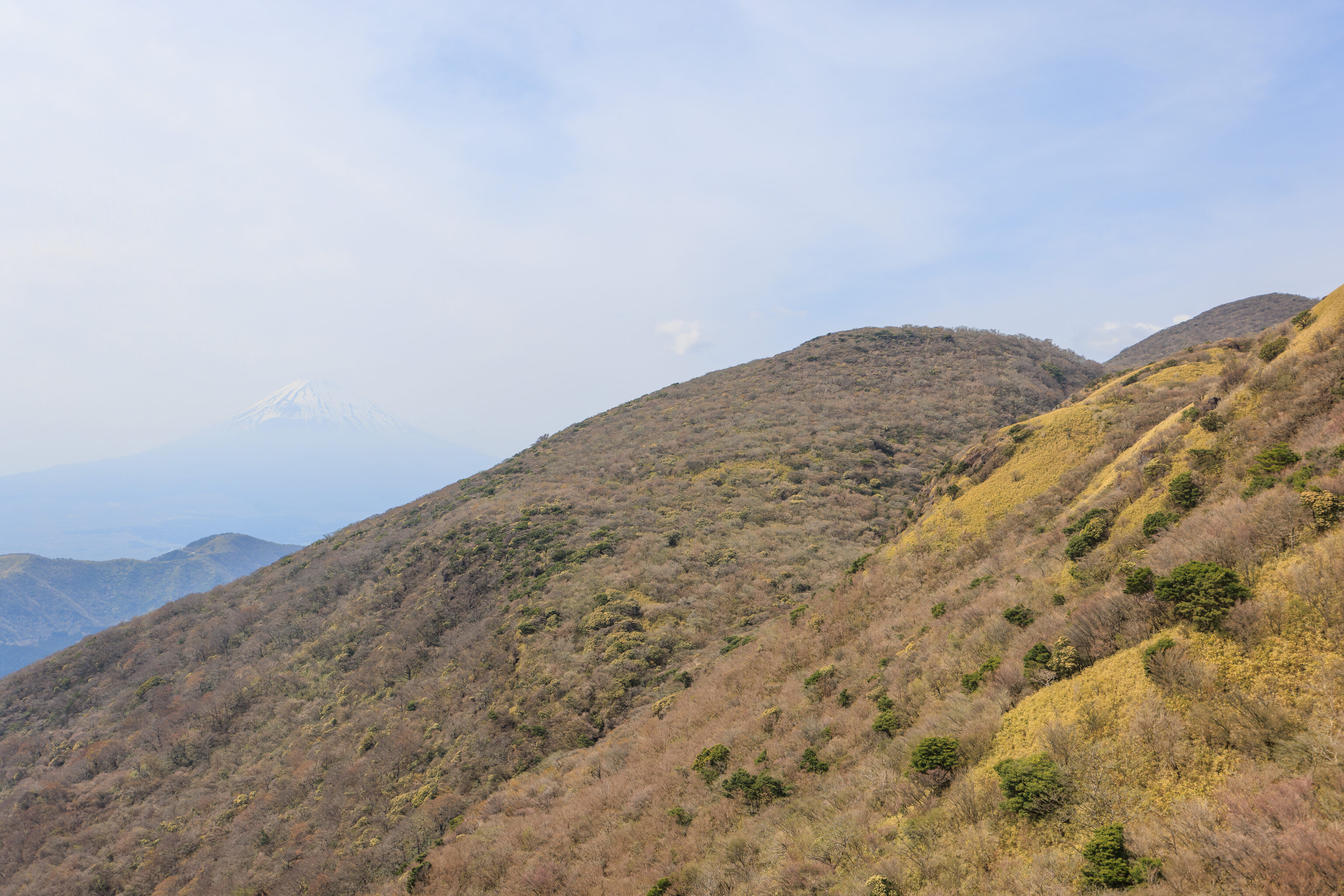
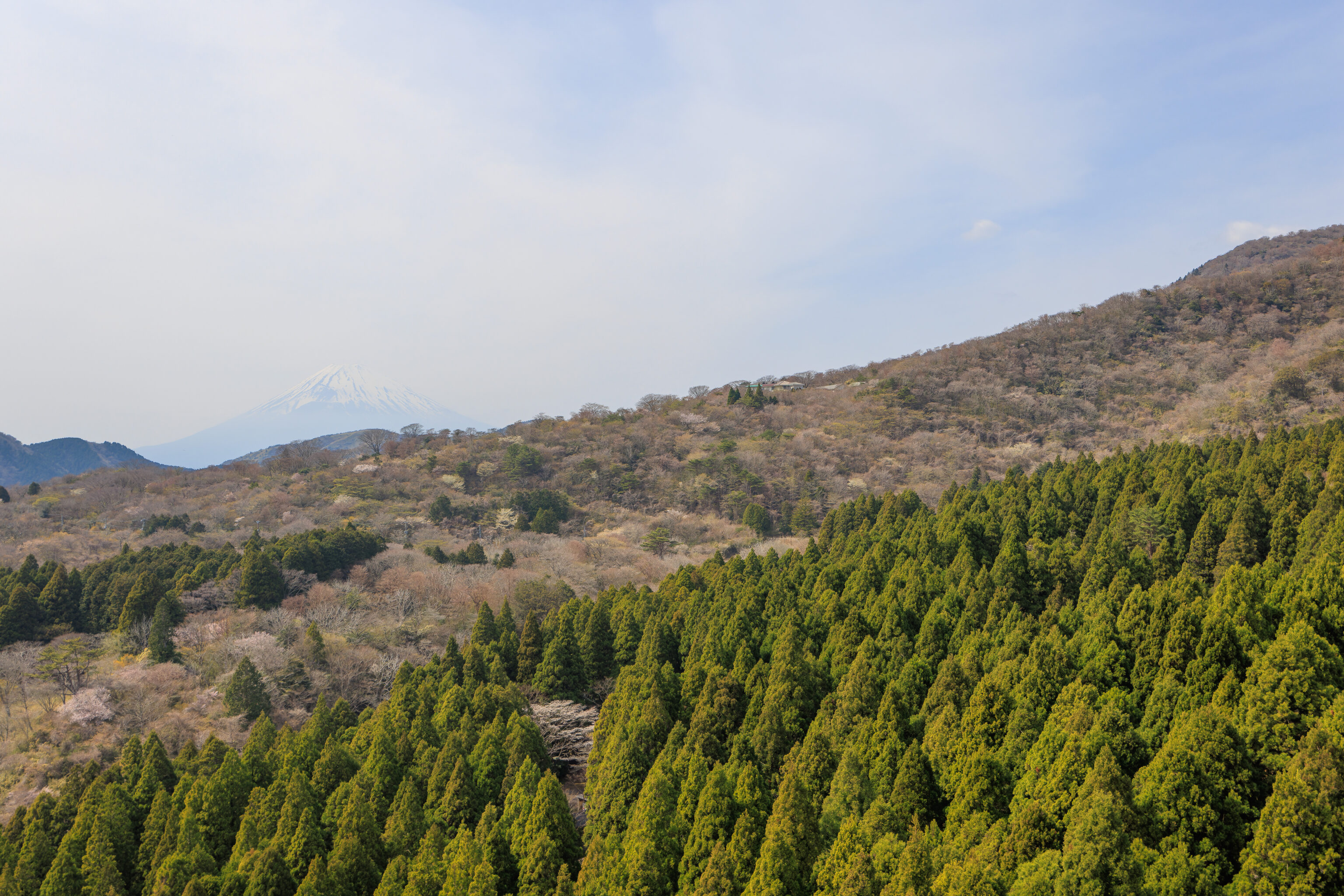
Soon, we could see 富士山 Mount Fuji! It was unfortunately rather hazy, though still significantly better than yesterday afternoon.
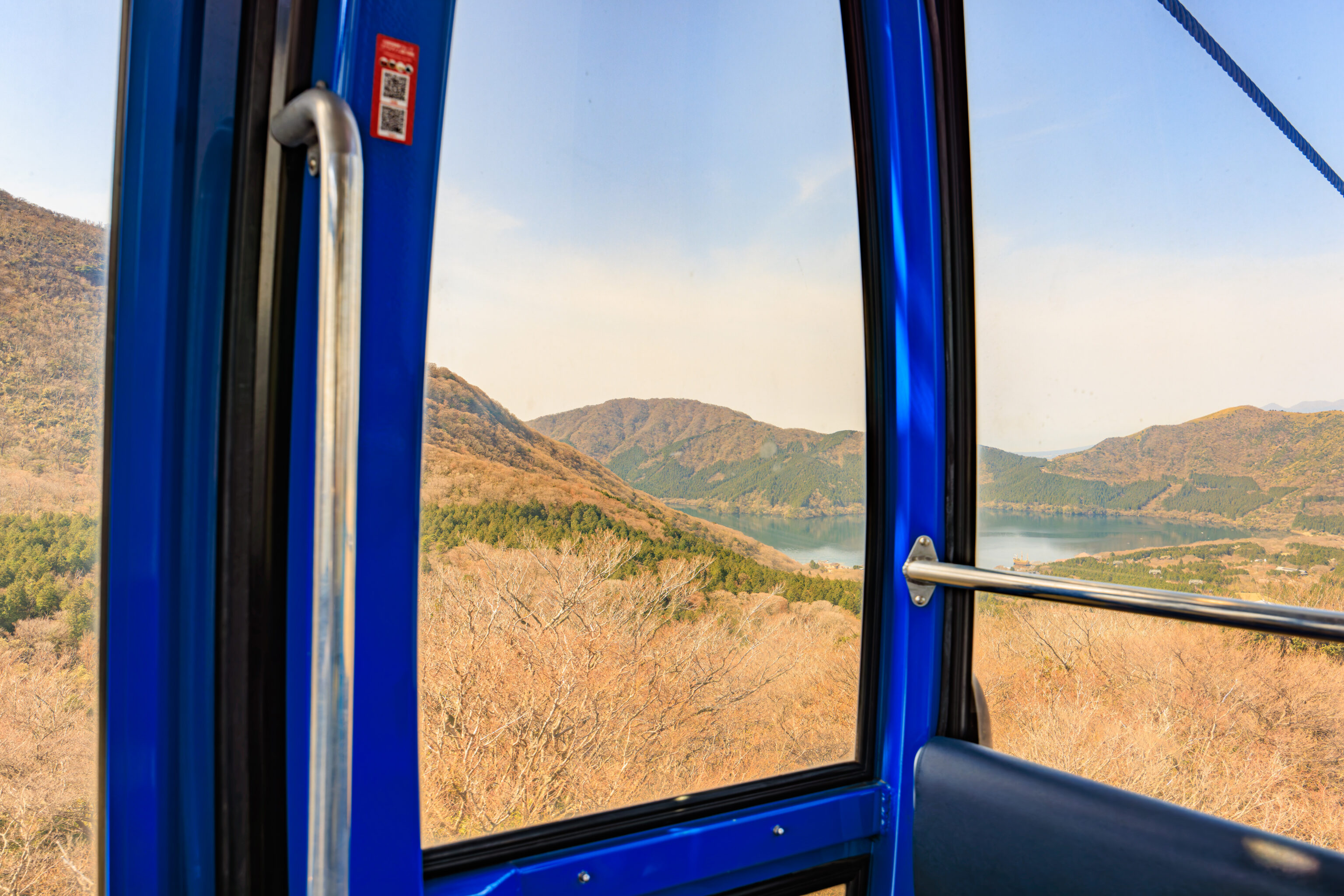
One last view of the lake as we got closer to 大涌谷 Owakudani. The gondola changes direction at 姥子駅 Ubako Station so the lake was no longer behind us.
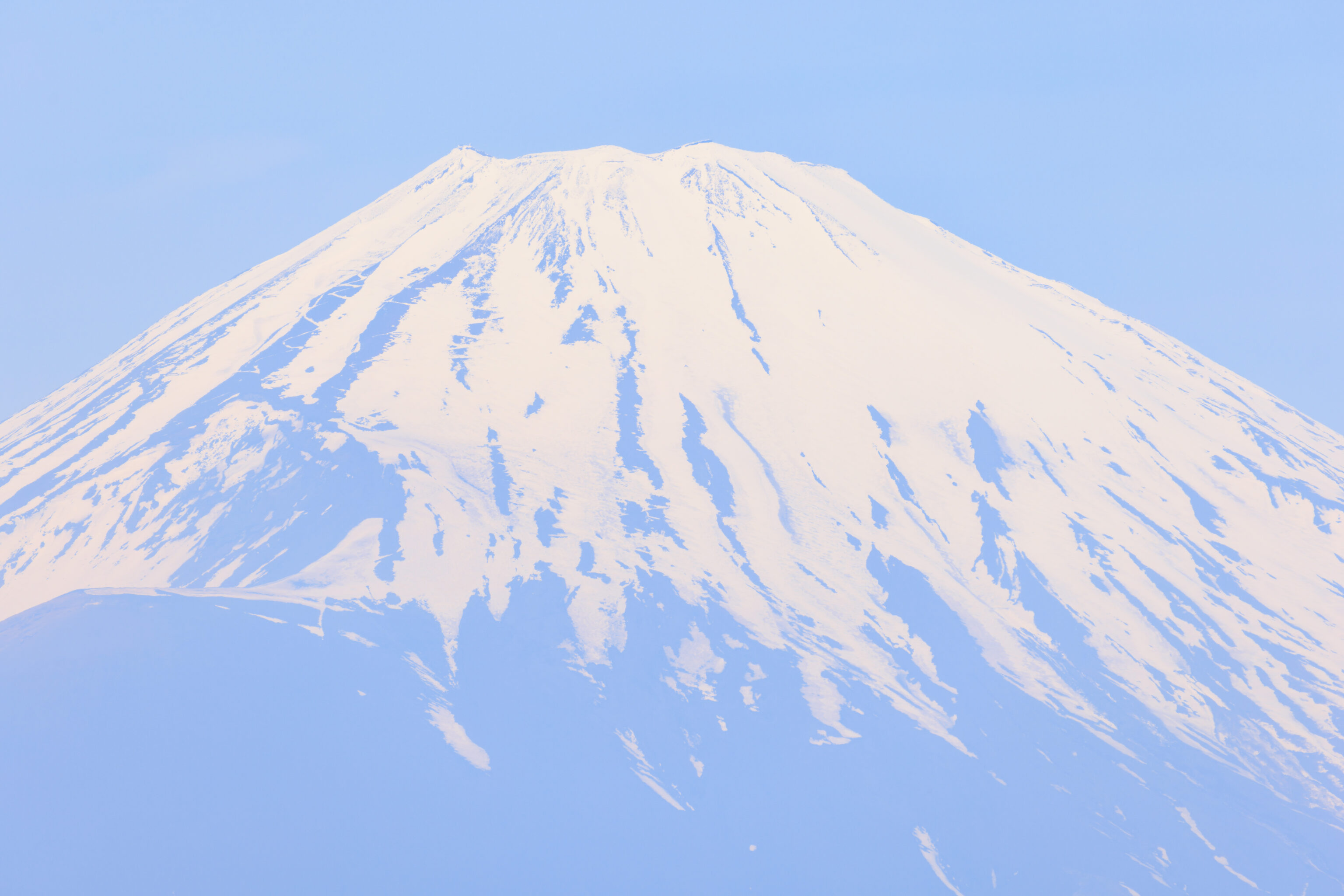
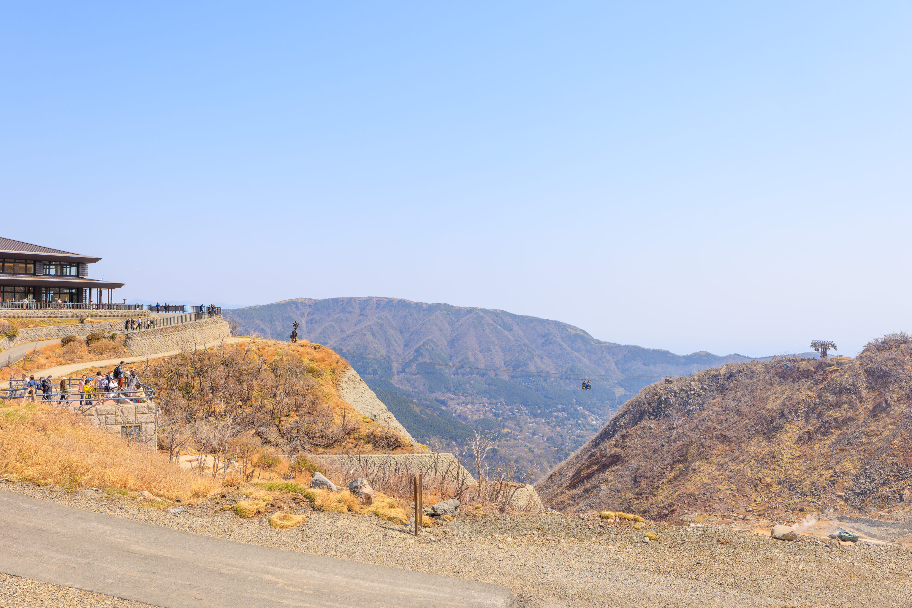
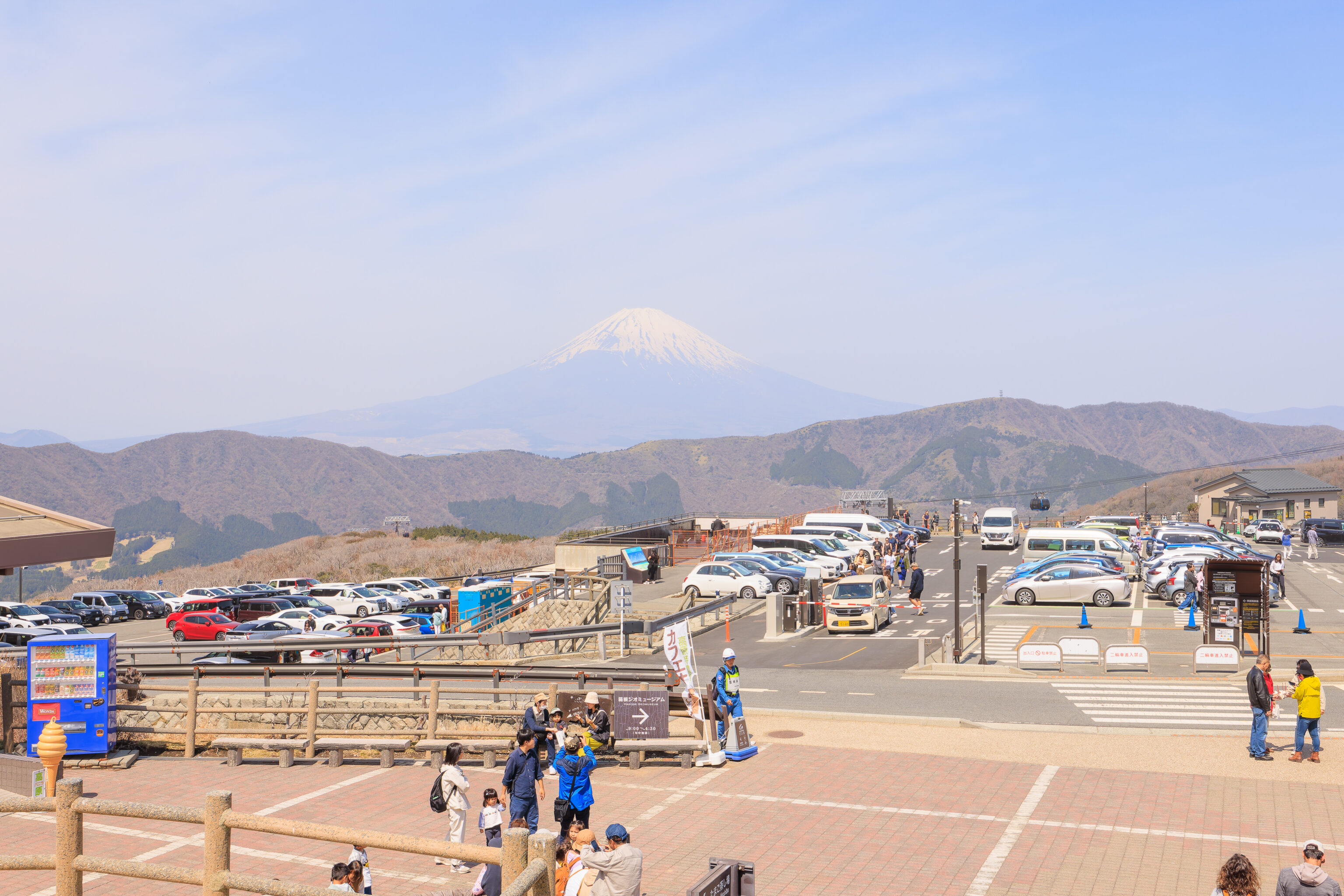
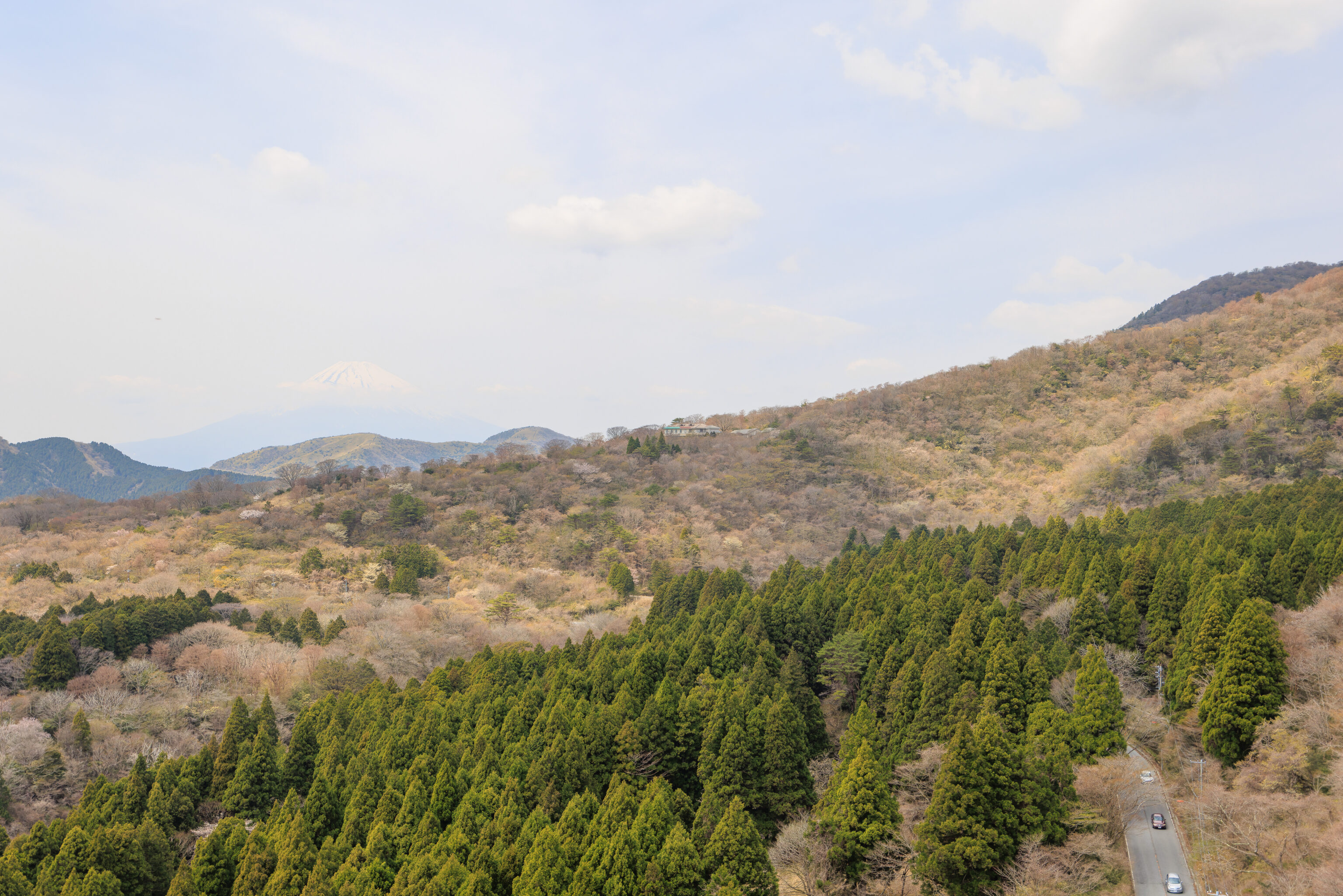
The best view of Mount Fuji at Owakudani is from the west side of the parking lot. There is a small viewing area here with plenty of room.
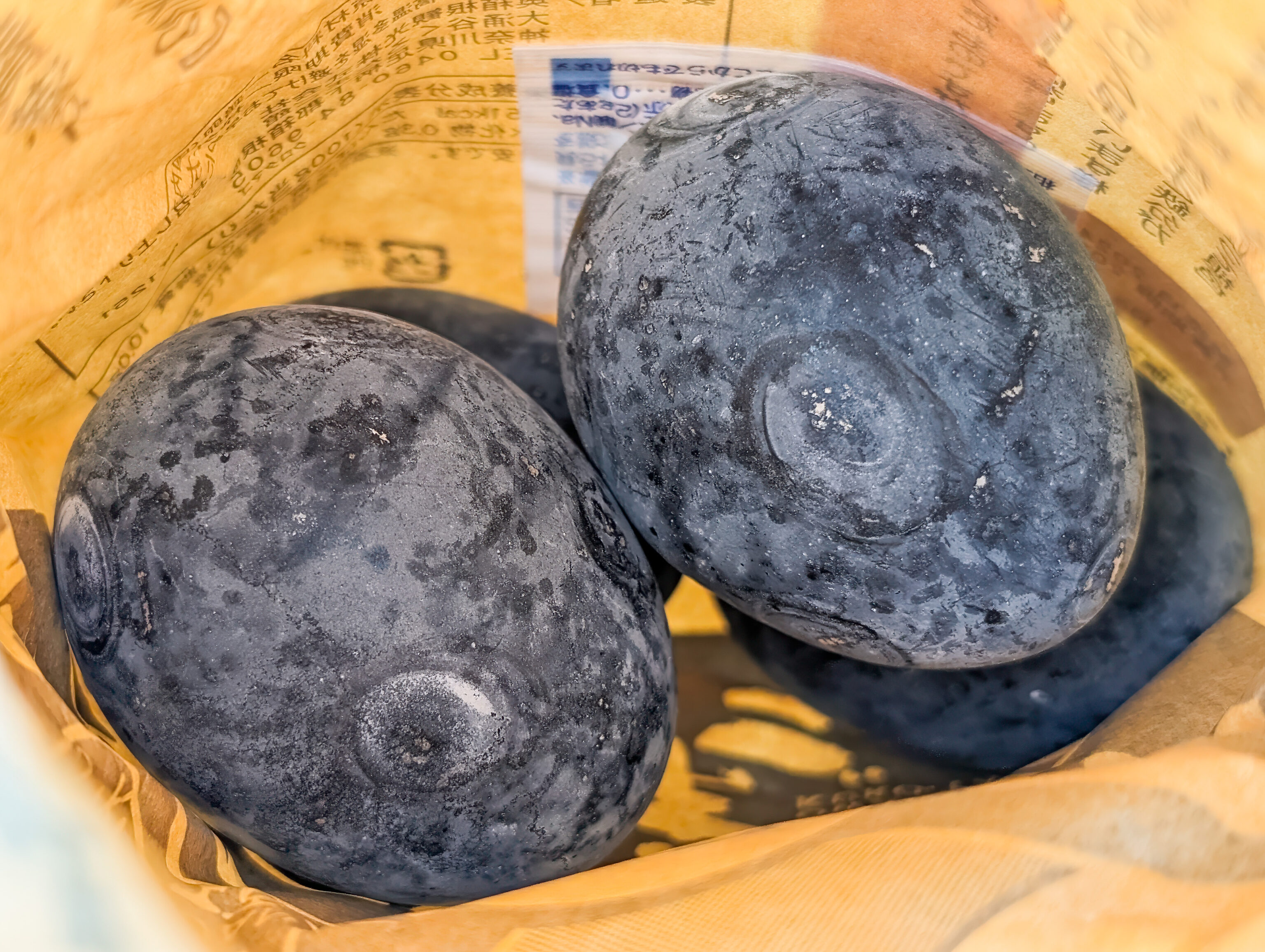
After enjoying the view, we walked over to the くろたま Kurotama Shop. There is a large gift shop area inside as well as an exterior window where one can buy Owakudani’s famous black eggs and other snacks. We got the minimum quantity, 4, which comes in a paper bag.
We sat down nearby to eat the eggs. The shells were pretty hard so we cracked them against the seat. Inside, the eggs taste and look like standard eggs. Although they are cooked in a hot spring, they are not onsen tamago, a different kind of preparation which can also be done in hot spring waters.
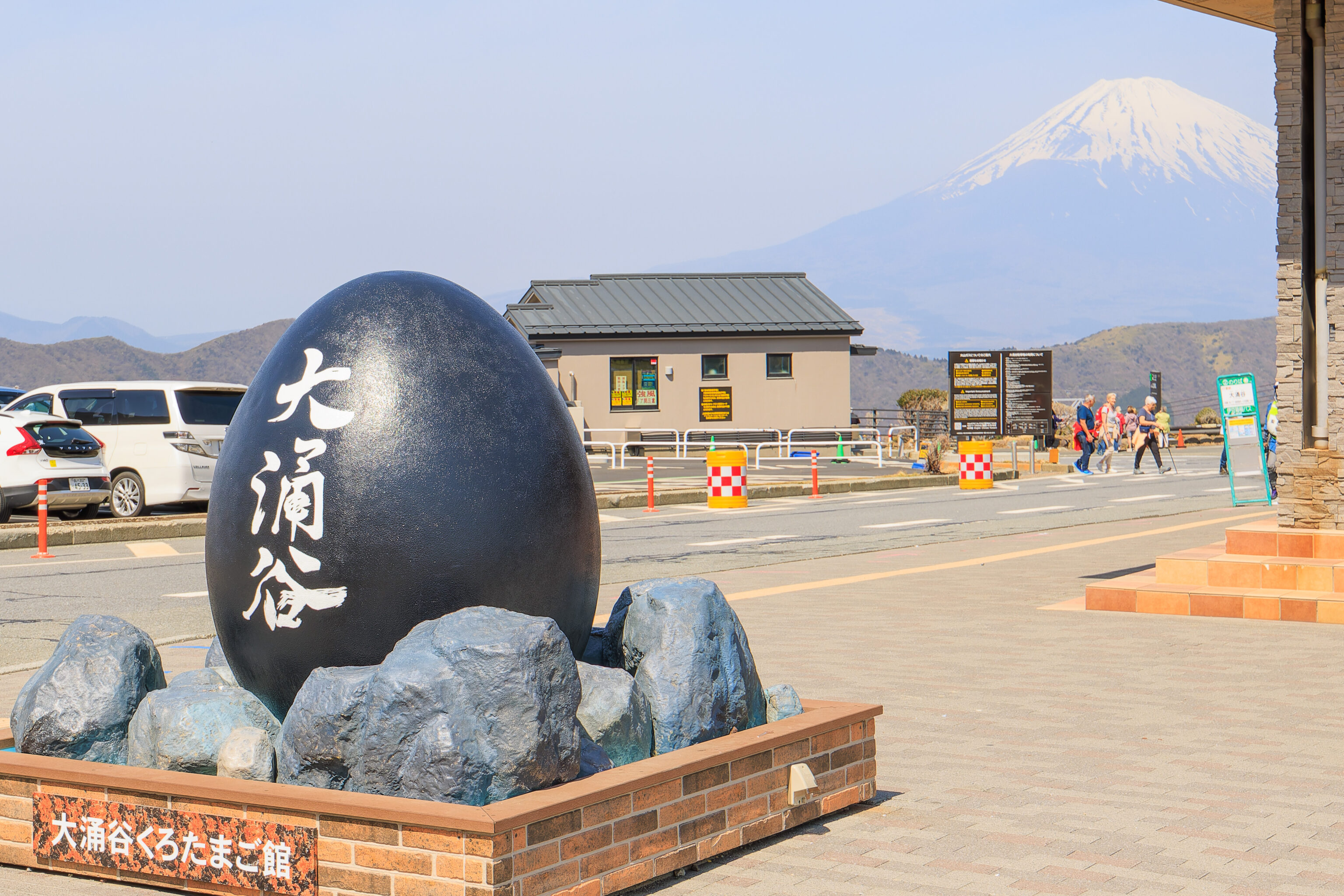
This large black Owakudani egg stood outside of the shop building, with a view of Mount Fuji behind it. There are two eggs on opposite sides of the building. This one is to the south.
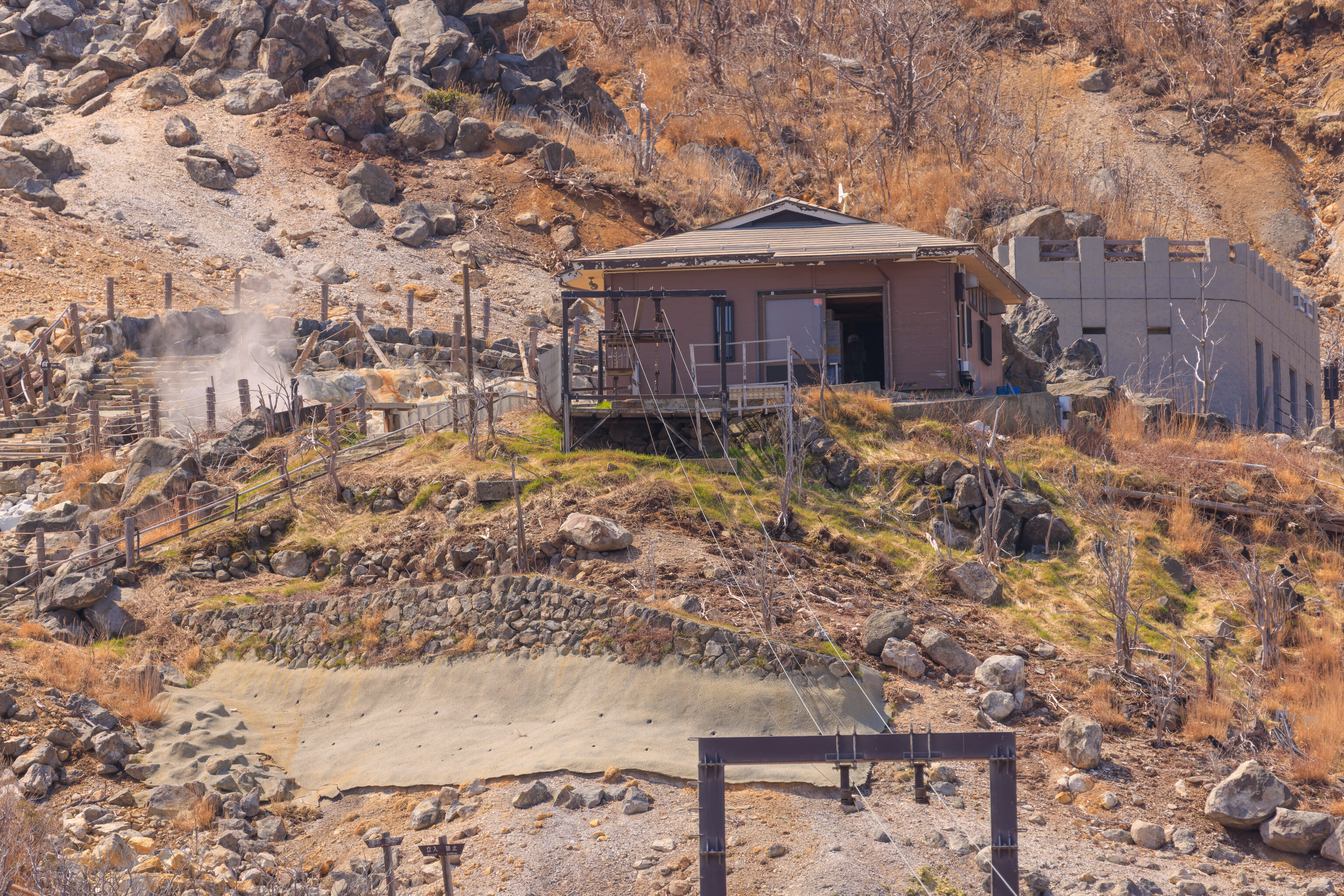
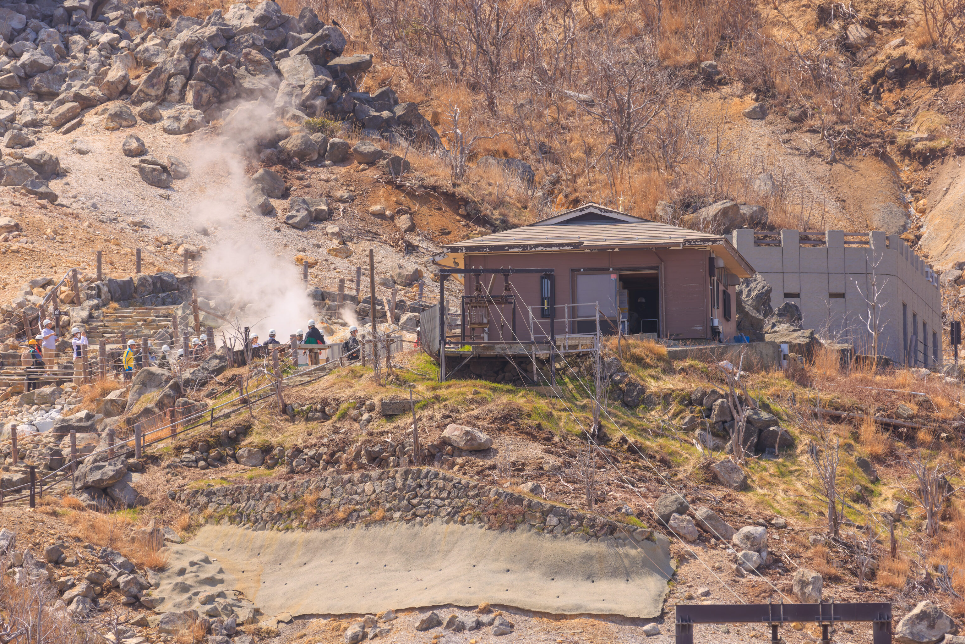
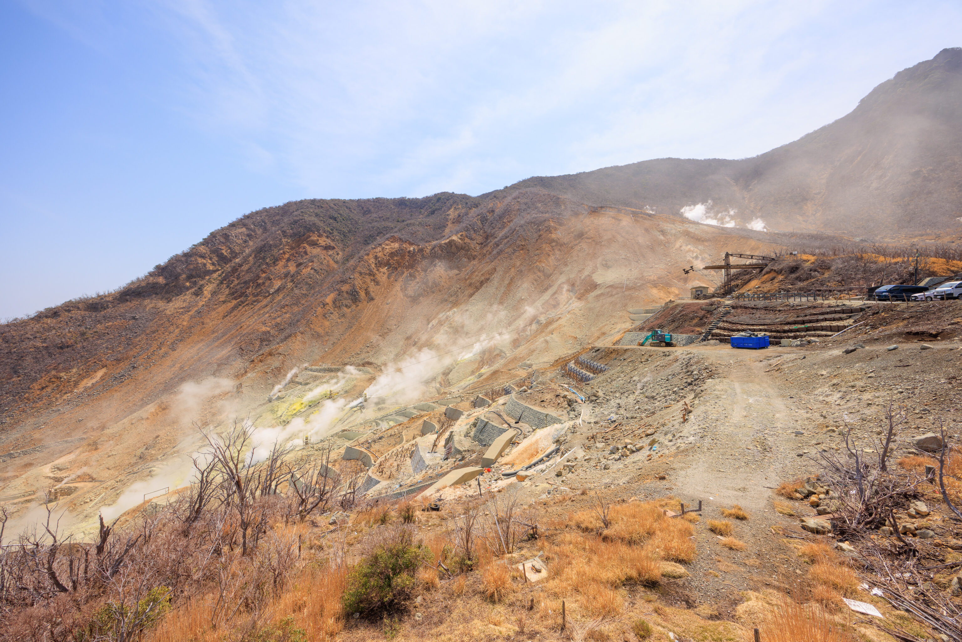
After eating our eggs, we walked to the south. Access to the thermal area was prohibited, this was as close as we could get from here.
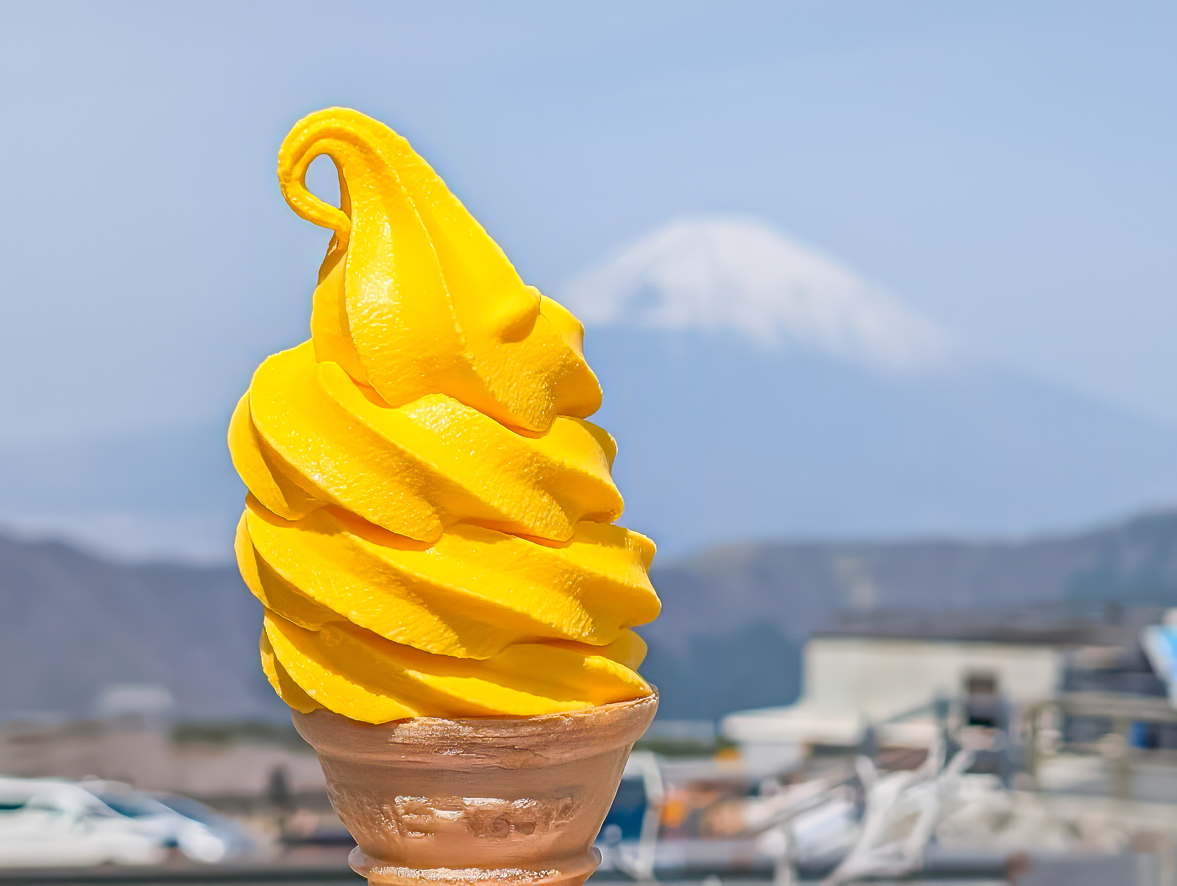
There is a snack shop at the very south end of the parking lot that sells various items. We got an egg flavored soft serve, which was a very bright yellow color. It didn’t taste like egg. It definitely had an interesting flavor though.
At some point, we noticed eggs being transported downhill on a dedicated tamago ropeway! Unfortunately, we weren’t able to photograph it in action as we didn’t have the telephoto lens on the camera at the time.
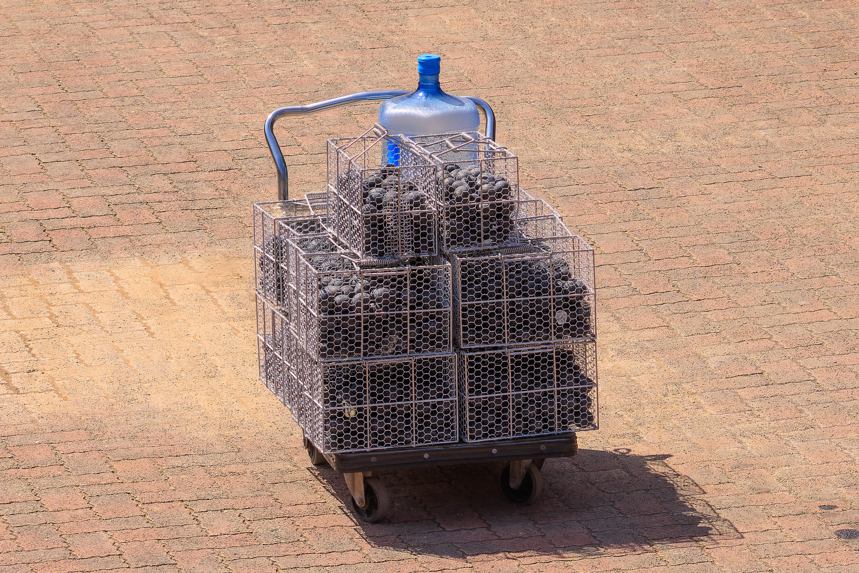
We soon noticed someone pushing a cart around. A cart full of black eggs!
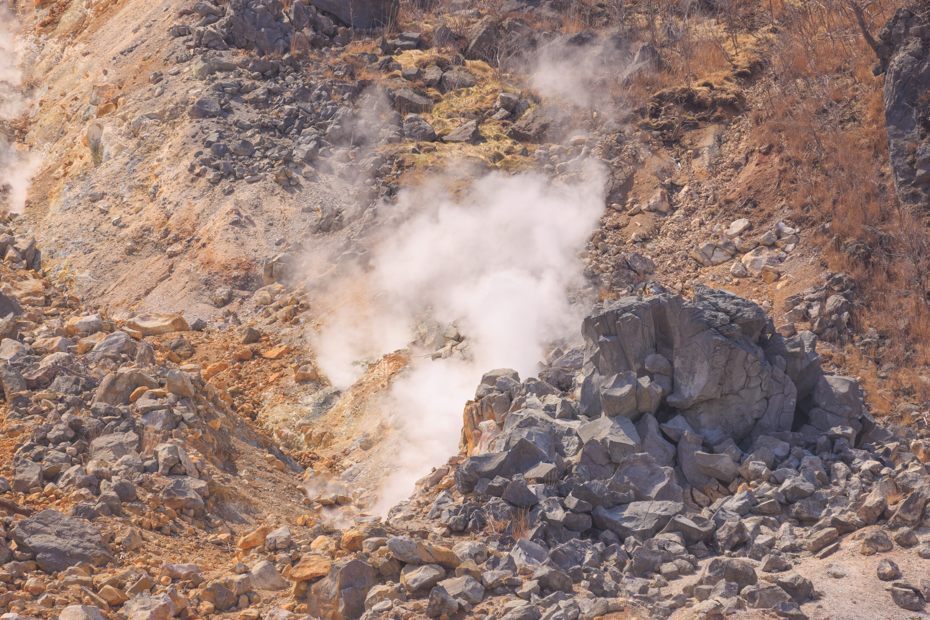
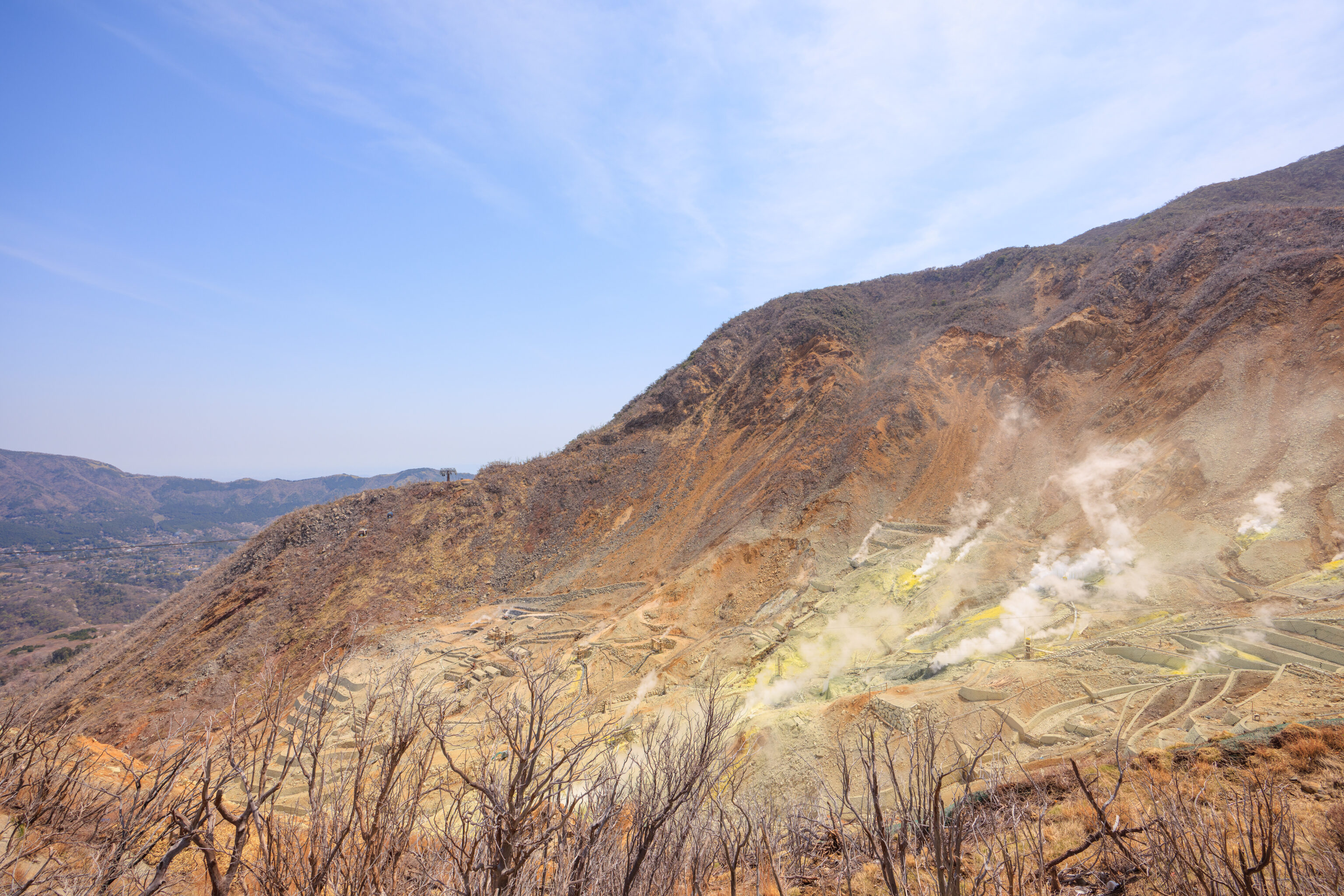
We looked around while waiting to see if we could catch another egg delivery. Here, some steam was rising from behind some rocks.
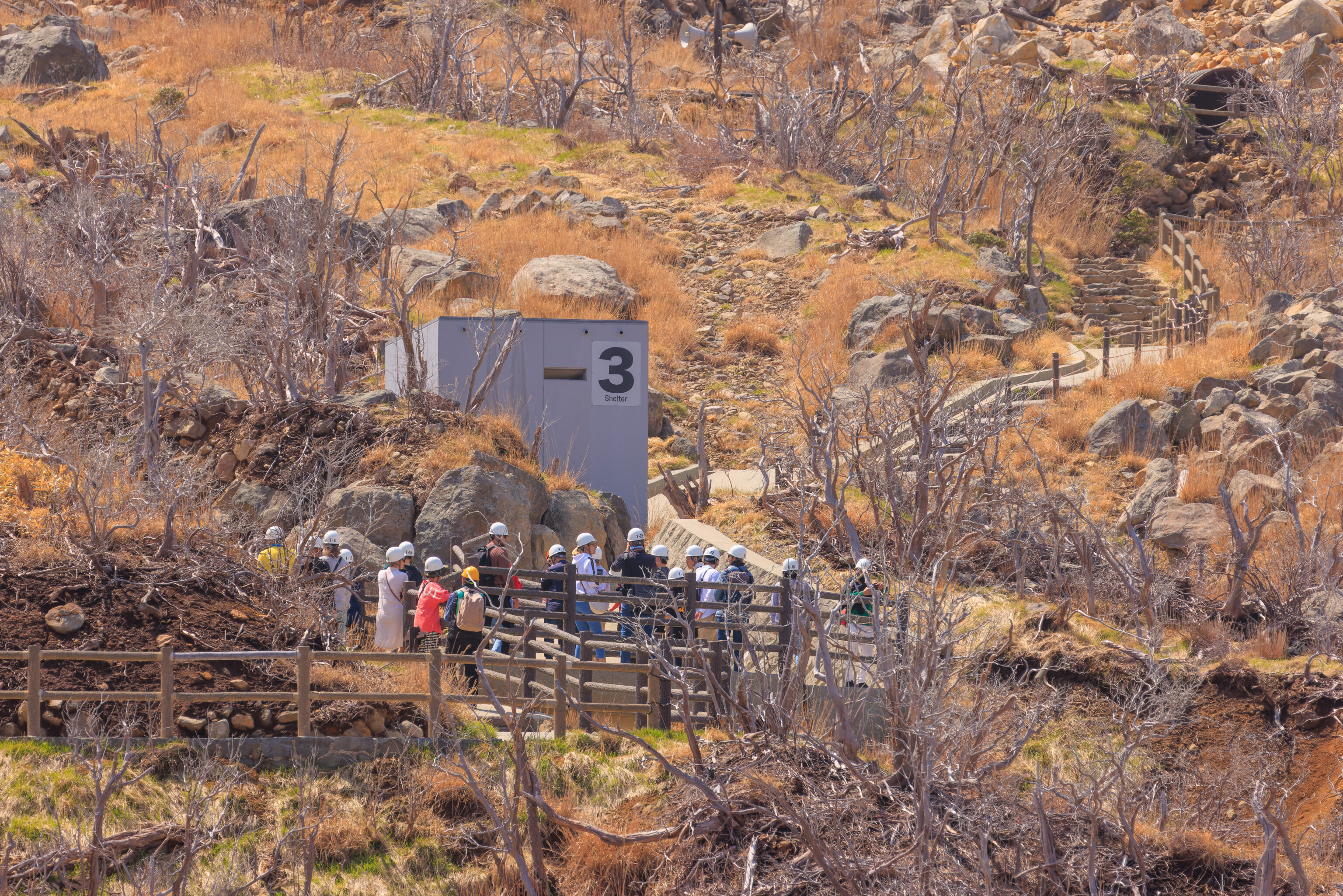
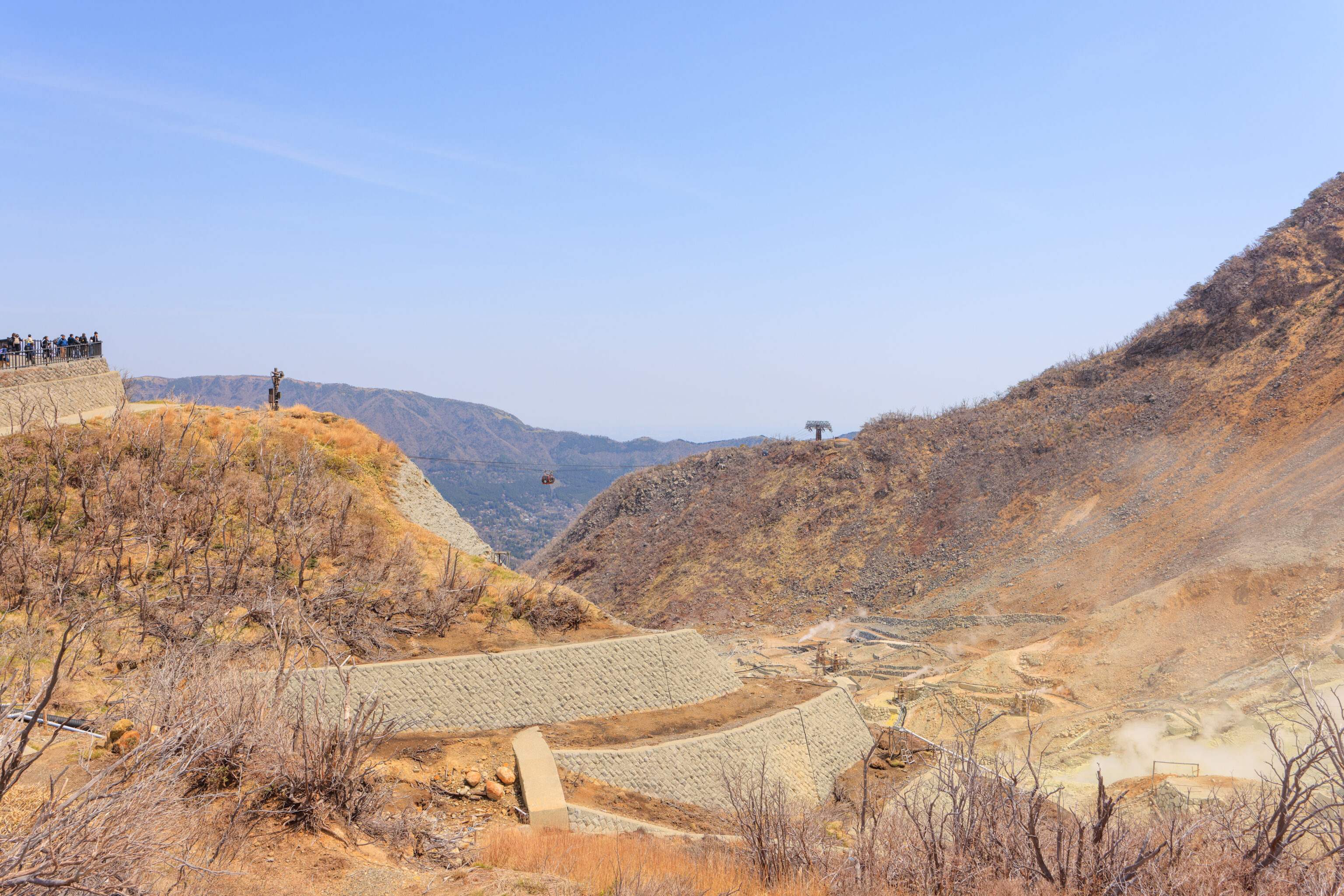
There is a nature trail beyond this point which continues to the south. The area was closed due to volcanic activity in May, 2015, and can currently only be visited by guided tour. We overheard someone mentioning that they were able to get tickets for the last tour of the day, at 2:30pm. It was just around 10am at the time. So, maybe we will try to do this on a future day.
The guided tour goes to the facility where the black eggs are cooked, at the upper end of the tamago ropeway. Unfortunately, we did not see any additional egg deliveries.
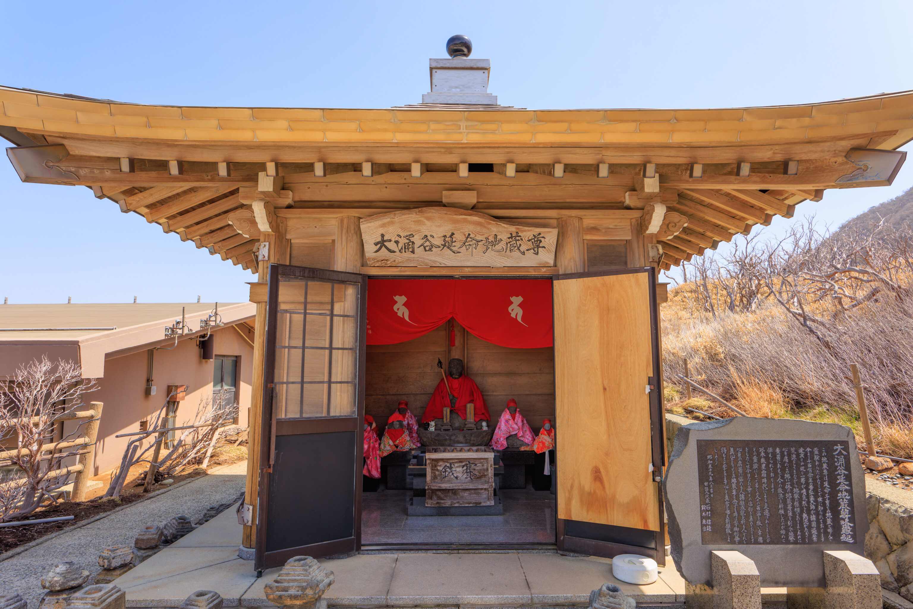
This small shrine stands by the entrance to the nature trail. The sign to the right explains the Jizo statues within the shine. Google Translate seems to provide a surprisingly decent translation:
Owakudani Enmei Jizo Venerable Origination

This Jizo statue is known as the Jizo of child-rearing that prolongs life and is known throughout the world for its miraculous properties.

More than 1,000 years ago, Otokobo Daishi loved all the nations, and this area was covered with steam and hot mud, and became desolate and looked like hell.

It is said that it began when people prayed to the Jizo Bodhisattva, whose body was in this place, to save people suffering from hell and suffering.

Although there have been some changes due to the era of karma, many people have been saved from suffering and brought happiness by their miraculous miracles.

Even today, people who are suffering from mental and physical illness pray for the fulfillment of their wishes.  If you sincerely consider this Jizo statue, you will receive divine benefits in vain.

I sincerely hope that you will receive a word and a prayer.

Auspicious day of August 1981
Representative Ishi Suzu Nobuo Reisetsu
The view is quite nice from the area by the shrine.
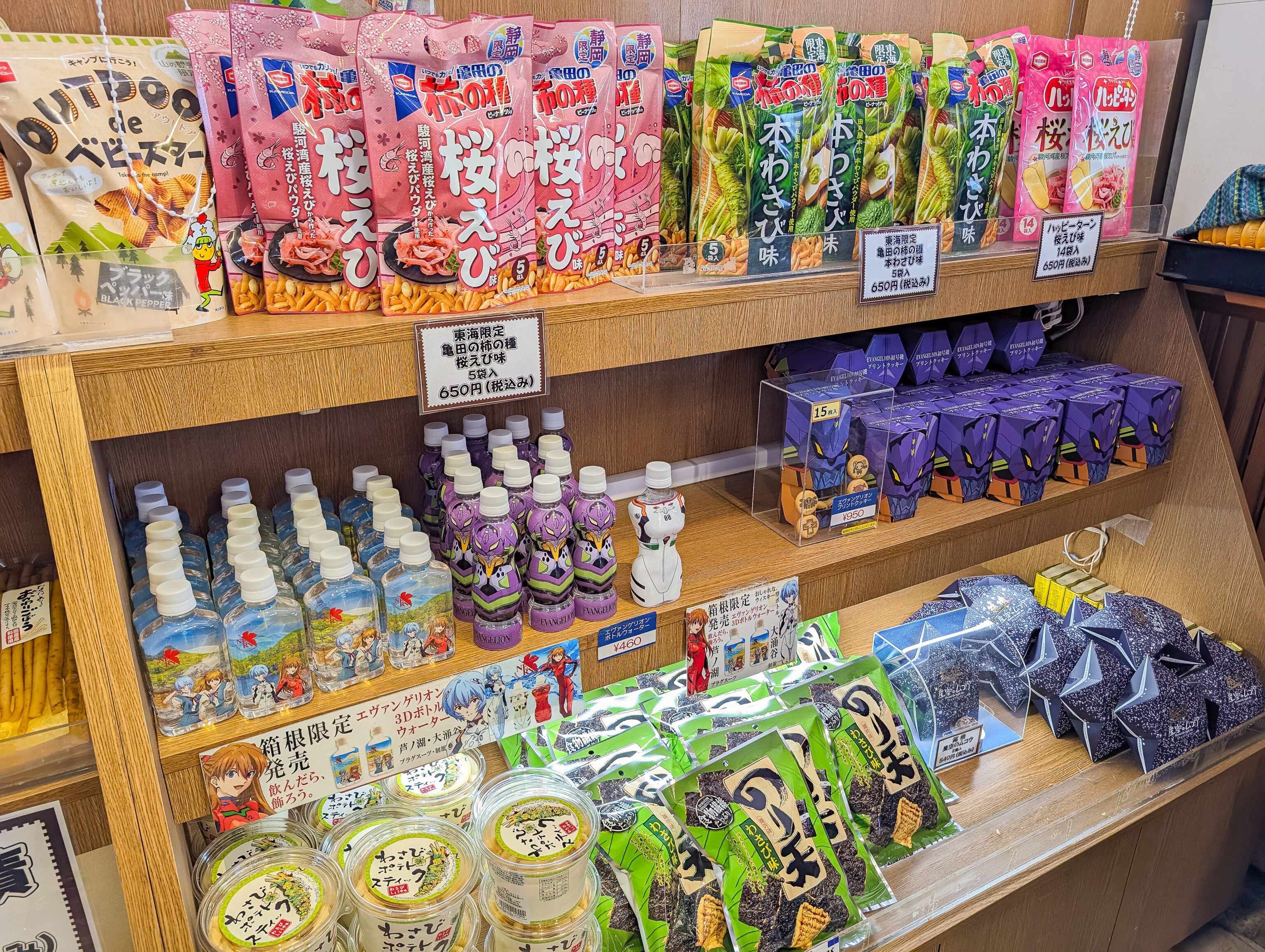
We went into a shop adjacent to the shine to see what they were selling. It was mostly gift and souvenir items. We did find some Neon Genesis Evangelion items.
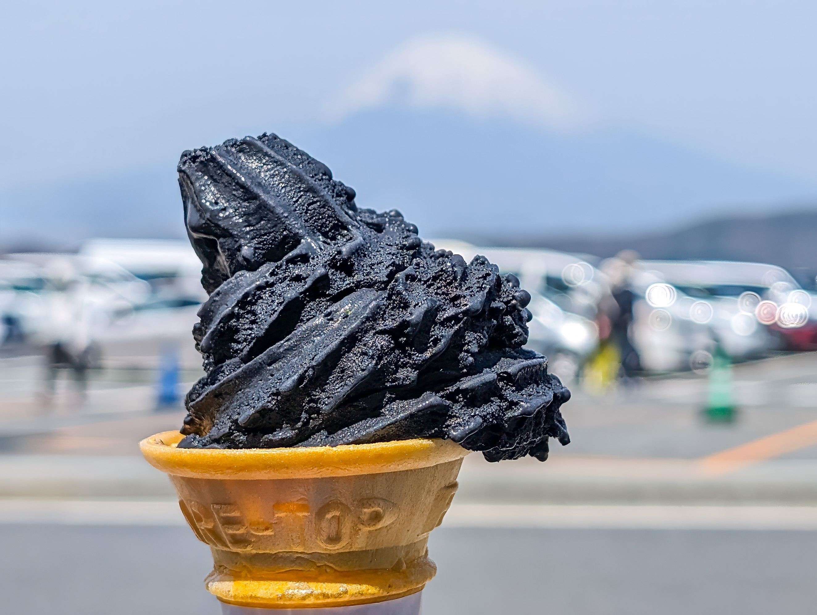
We decided to get a black colored soft serve vanilla from the shop. It wasn’t particularly special other than the color and it was prepared poorly. The black soft serve that we got last year from the busy tourist street outside of Kiyomizu-dera definitely gets the win for black colored soft serve!
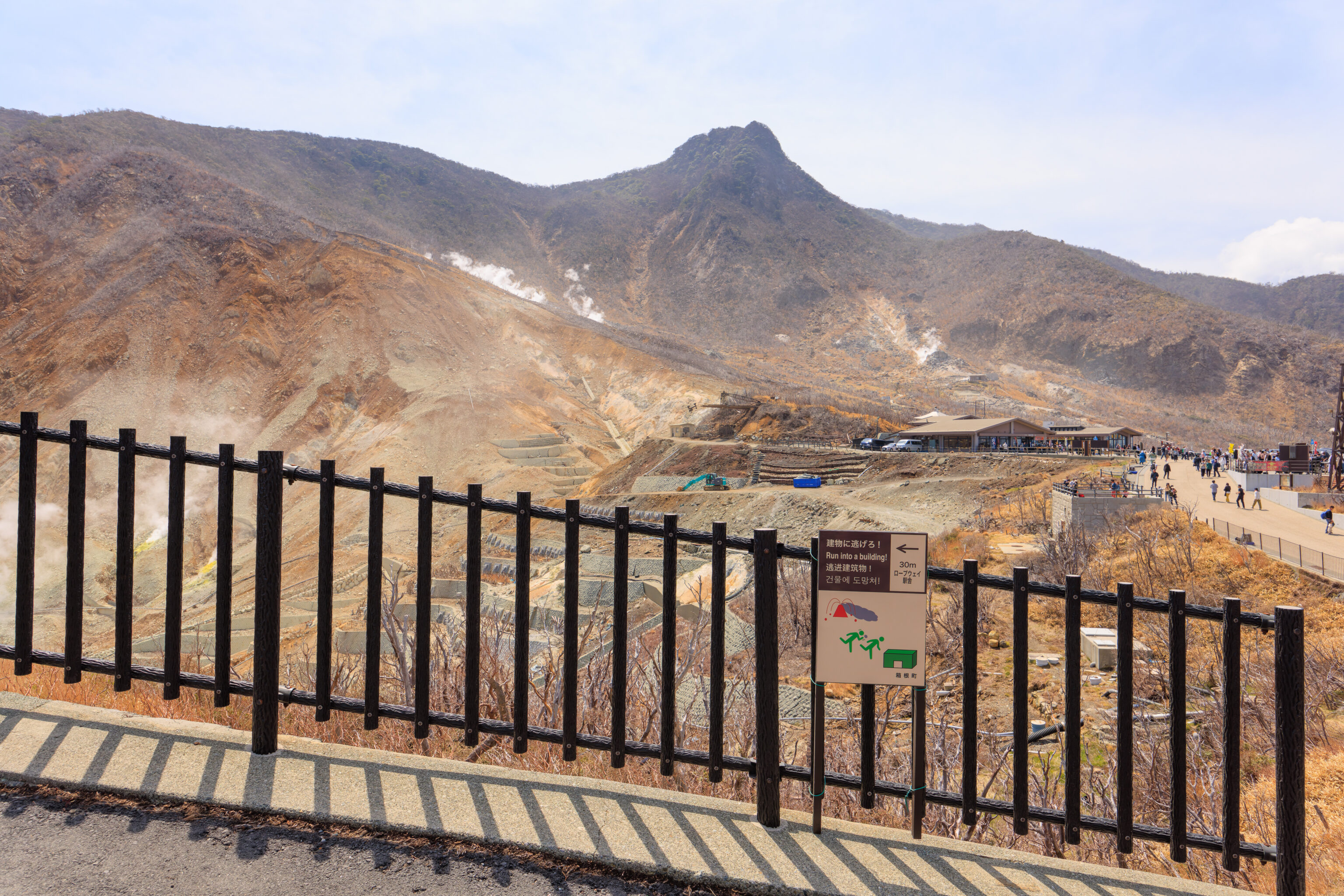
We headed back to the gondola station, walking by the fence that surrounds the thermal valley. A sign provided a brief description of the area:
Owakuzawa (Owakudani) is an explosion crater created by a large-scale phreatic explosion about 3000 years ago. The crater still discharges fumarolic gas containing poisonous hydrogen sulfide and sulfur dioxide. The bedrock in the area is very fragile due to this fumarolic activity having caused numerous landslides in the past. In 1910 there was an extensive landslide by heavy rain, sediment runoff attacking the banks of Hayakawa River causing a major disaster with many casualties. This side of the mountain continues to have frequent landslide. To prevent further landslide disasters, Kanagawa prefectural government has been undertaking contingency planning including erosion-control works and lining of mountainsides with stones, boring and anchoring work.
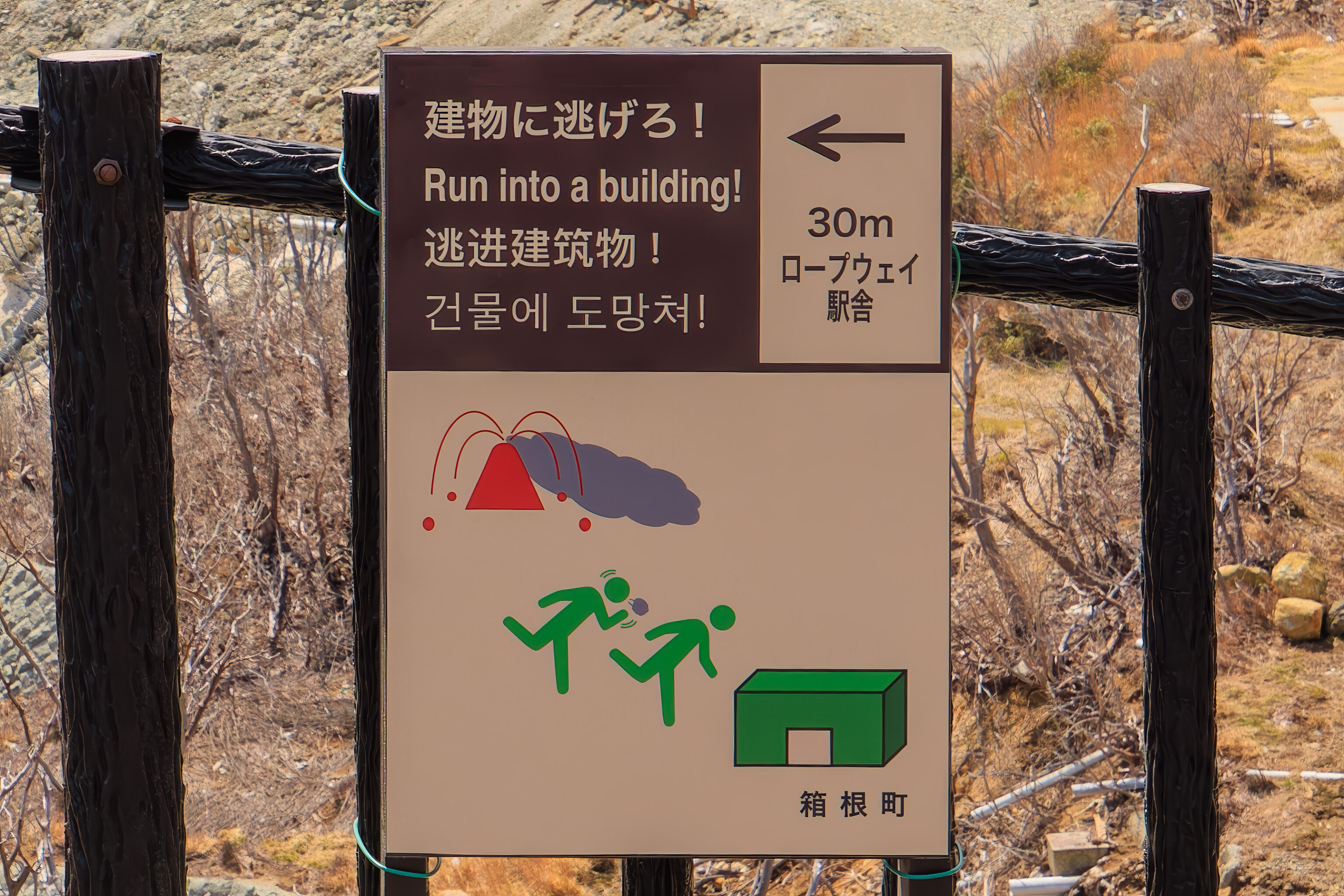
This small sign provided some basic instructions in case of a volcanic eruption!
After returning to the gondola station, we took a look at the gift shop before taking the gondola back down to Togendai.
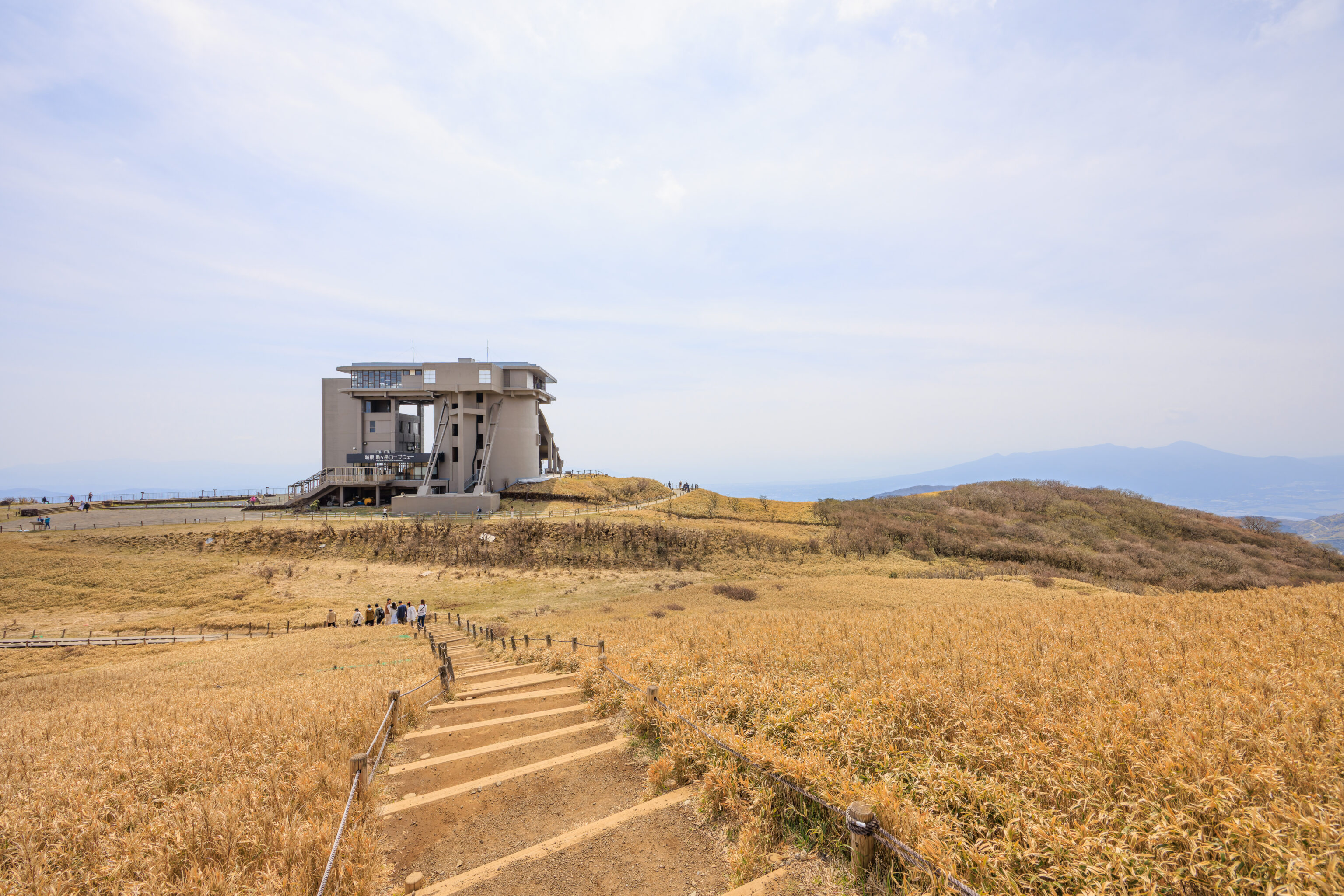
Komagatake Ropeway
After arriving at Togendai, we took a bus to 箱根園 Hakone-en, at the base of the 駒ヶ岳ロープウ Komagatake Ropeway. To catch the bus, we walked a few minutes to the south to Kojiri. From there, we caught a Izu Hakone bus to Hakone-en. The Izu Hakone bus is not included in the Hakone Freepass as it is operated by a different transport company. It is possible to use one of the included busses to get to Hakone-en, however, service is very infrequent. The Izu Hakone busses take IC cards so it is easy to ride.
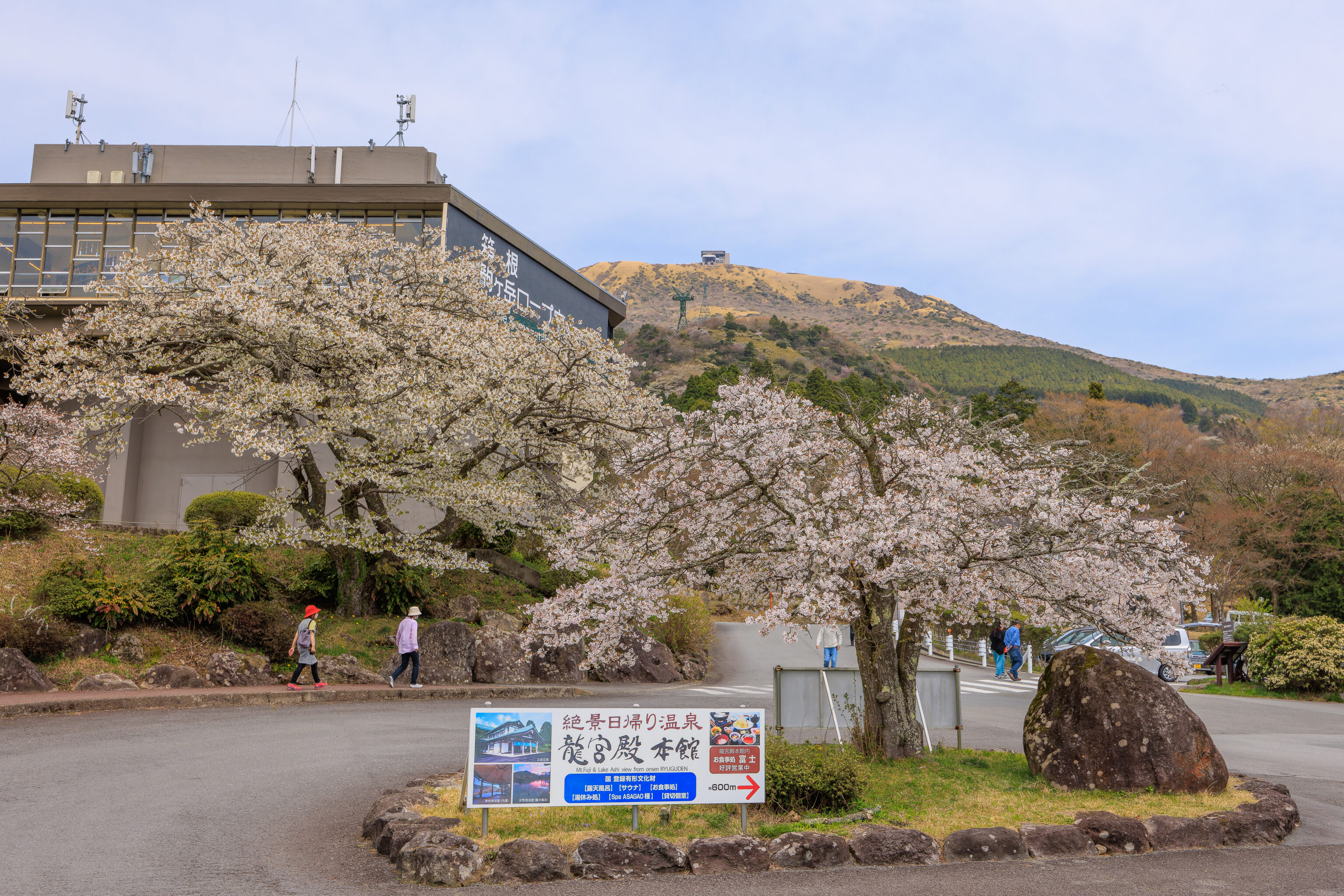
Hakone-en is actually a hotel operated by Prince. The ropeway, in this case an aerial tram, is just above the parking lot where the bus stop is located.
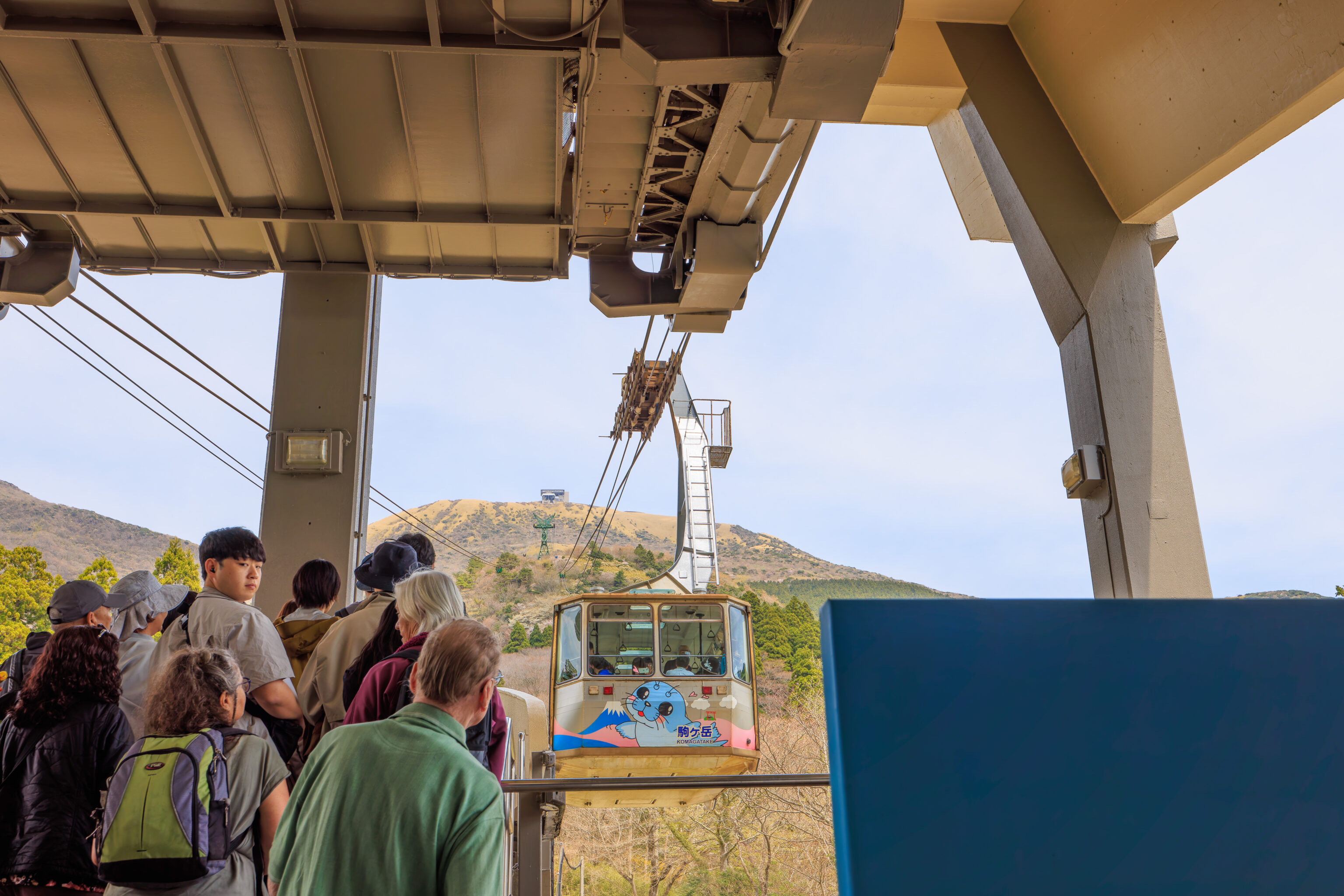

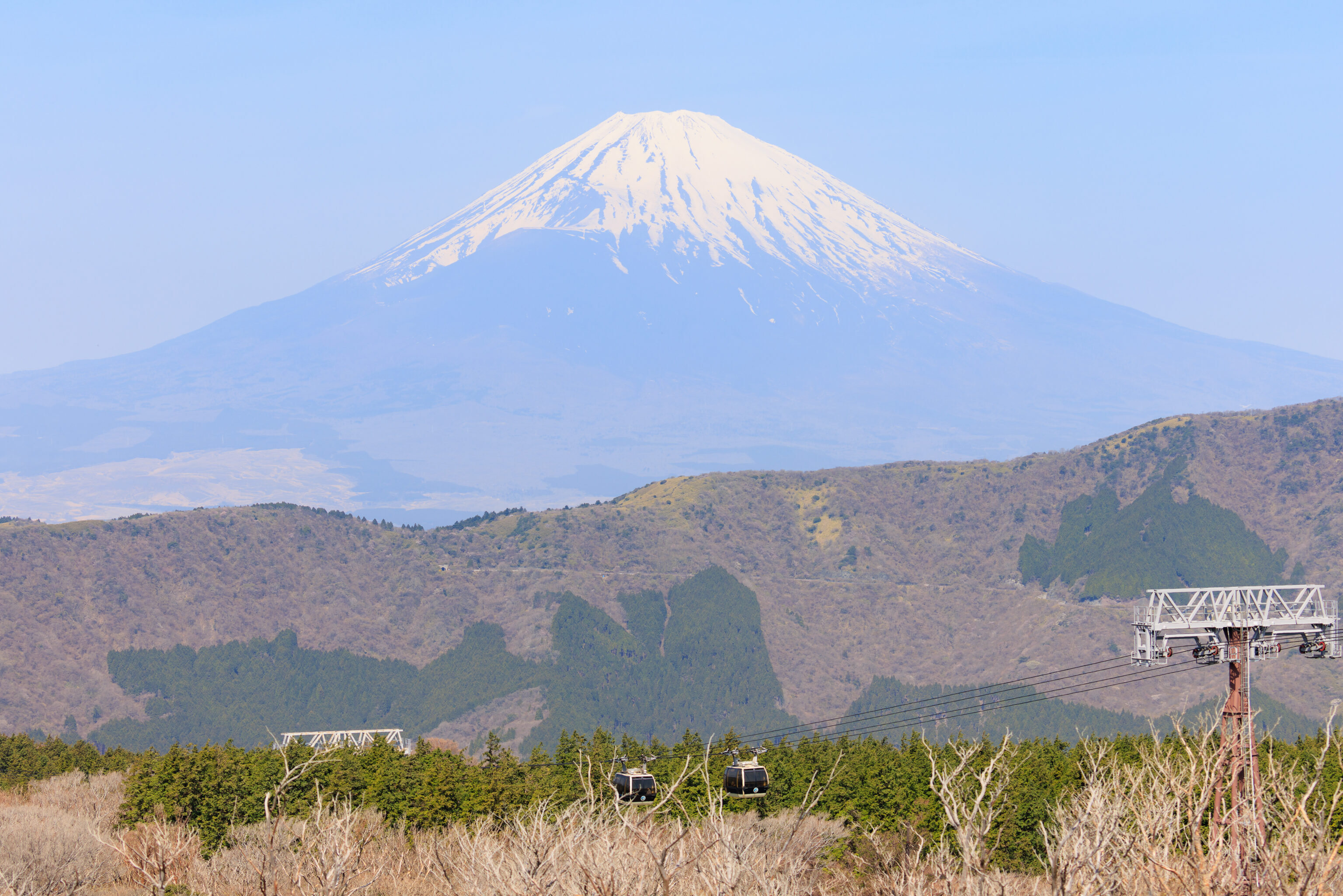
The Komagatake Ropeway is operated by the Izu Hakone transport company and thus also not included in the Hakone Freepass. We bought tickets and joined the queue for the next trip up.
We were able to stand at the side of the aerial tram with a view to the northwest.
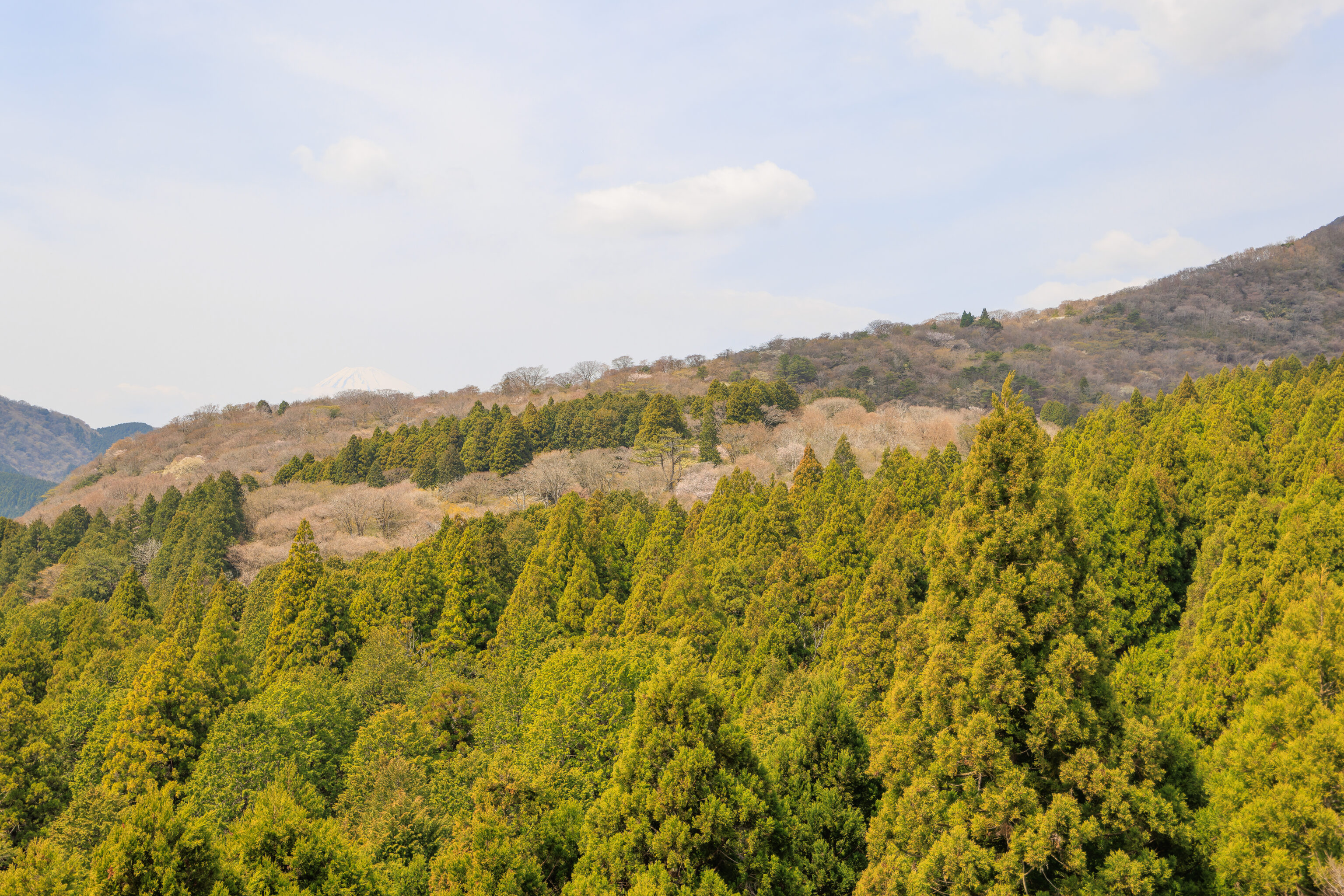
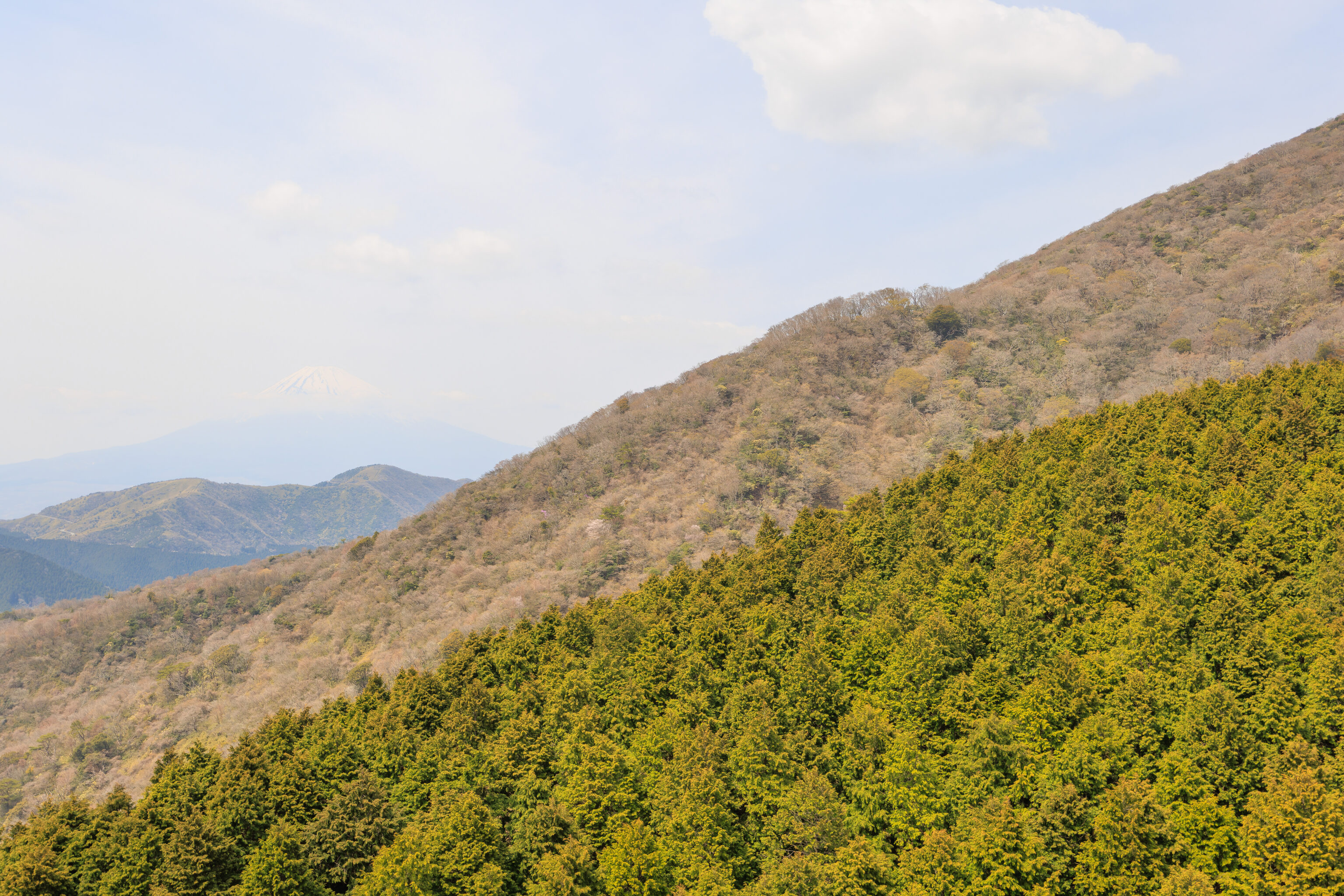
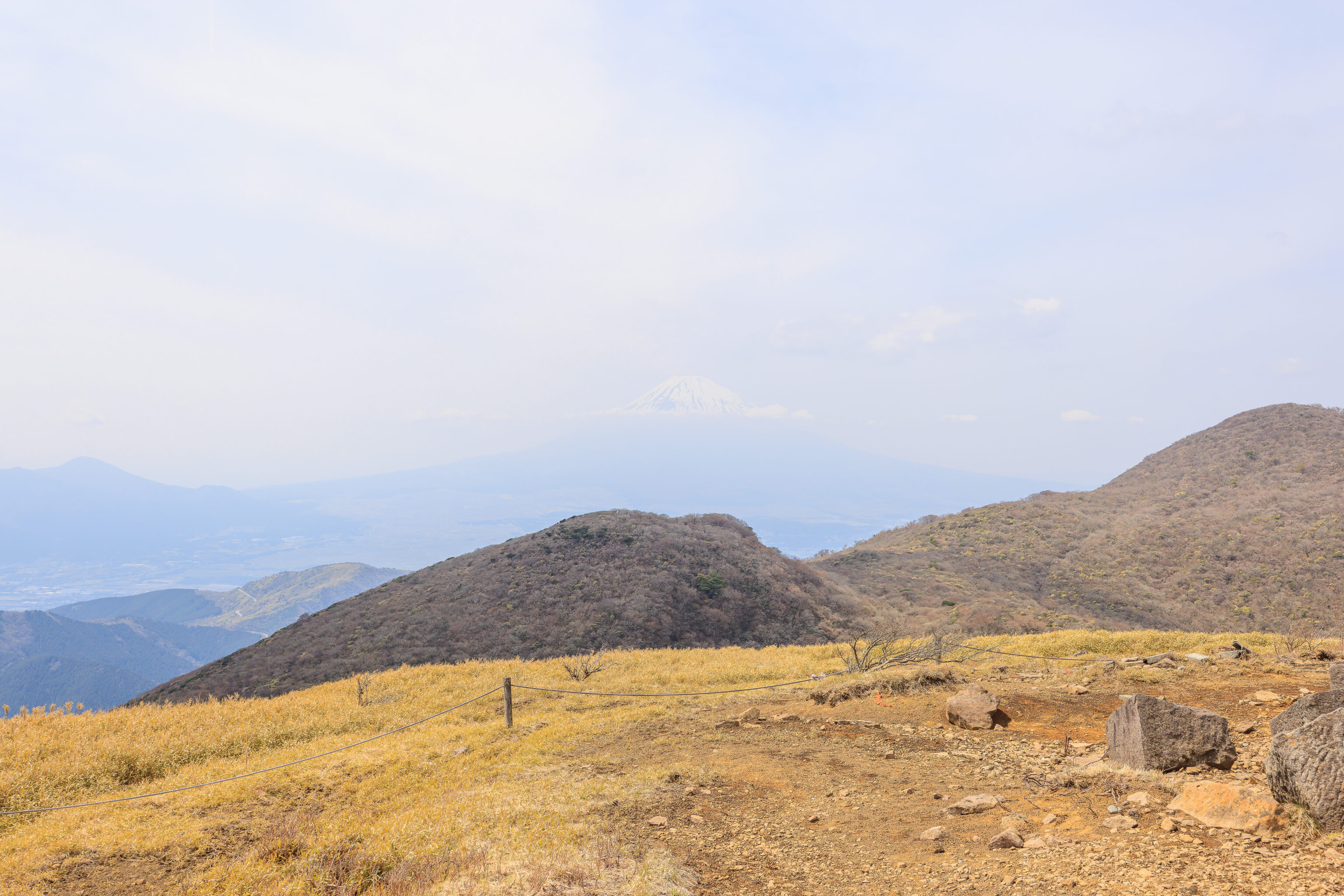
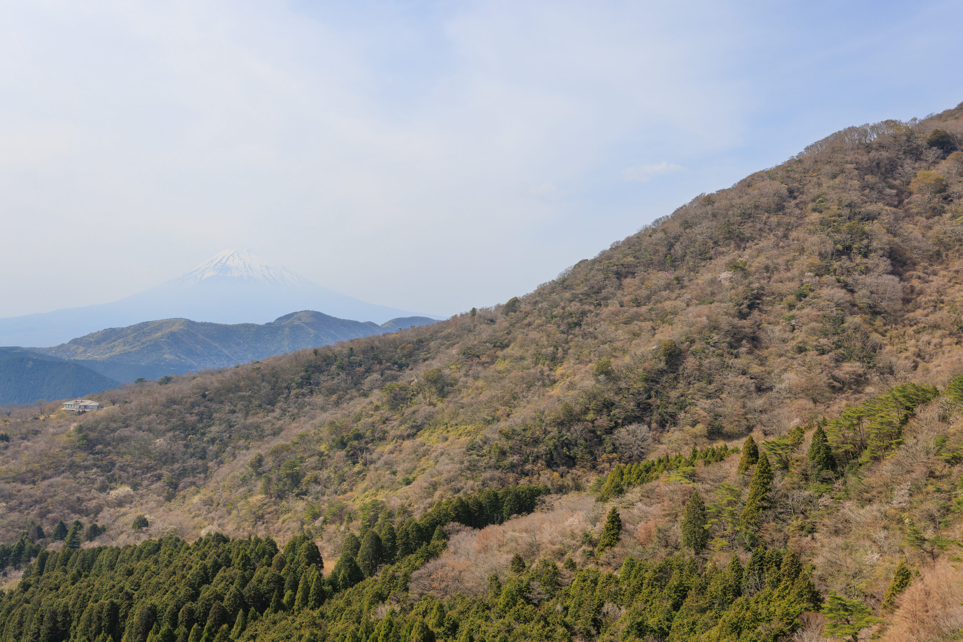
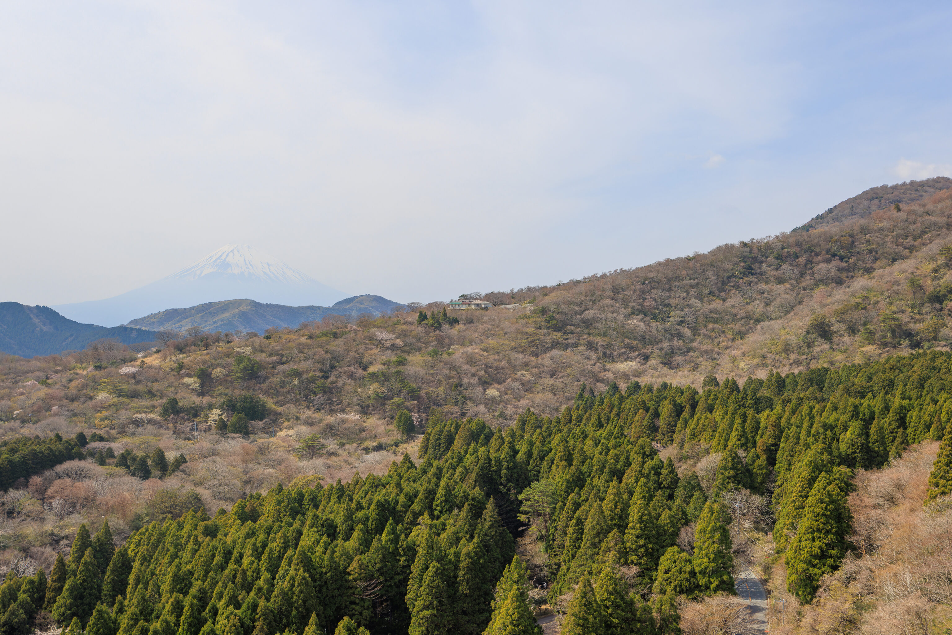
Soon, we could see Mount Fuji was we ascended. Unfortunately, the haze seemed to be worse than before!
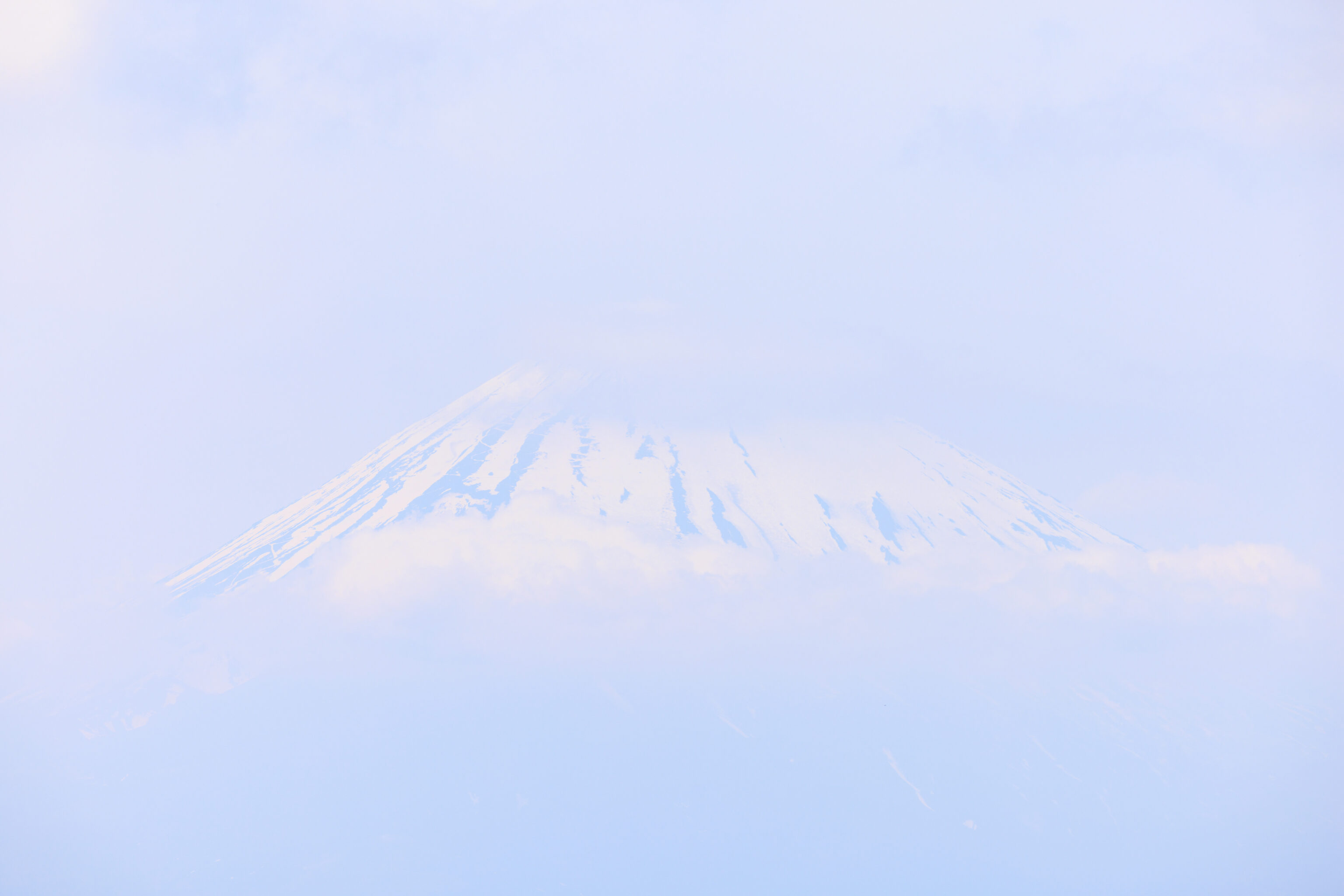
After arriving at the upper station, we walked to a small viewpoint just to the north of the station building to get a better look at Mount Fuji. Unfortunately, it looked just as it did from the tram. Too hazy! There were also some clouds obscuring the view a bit.
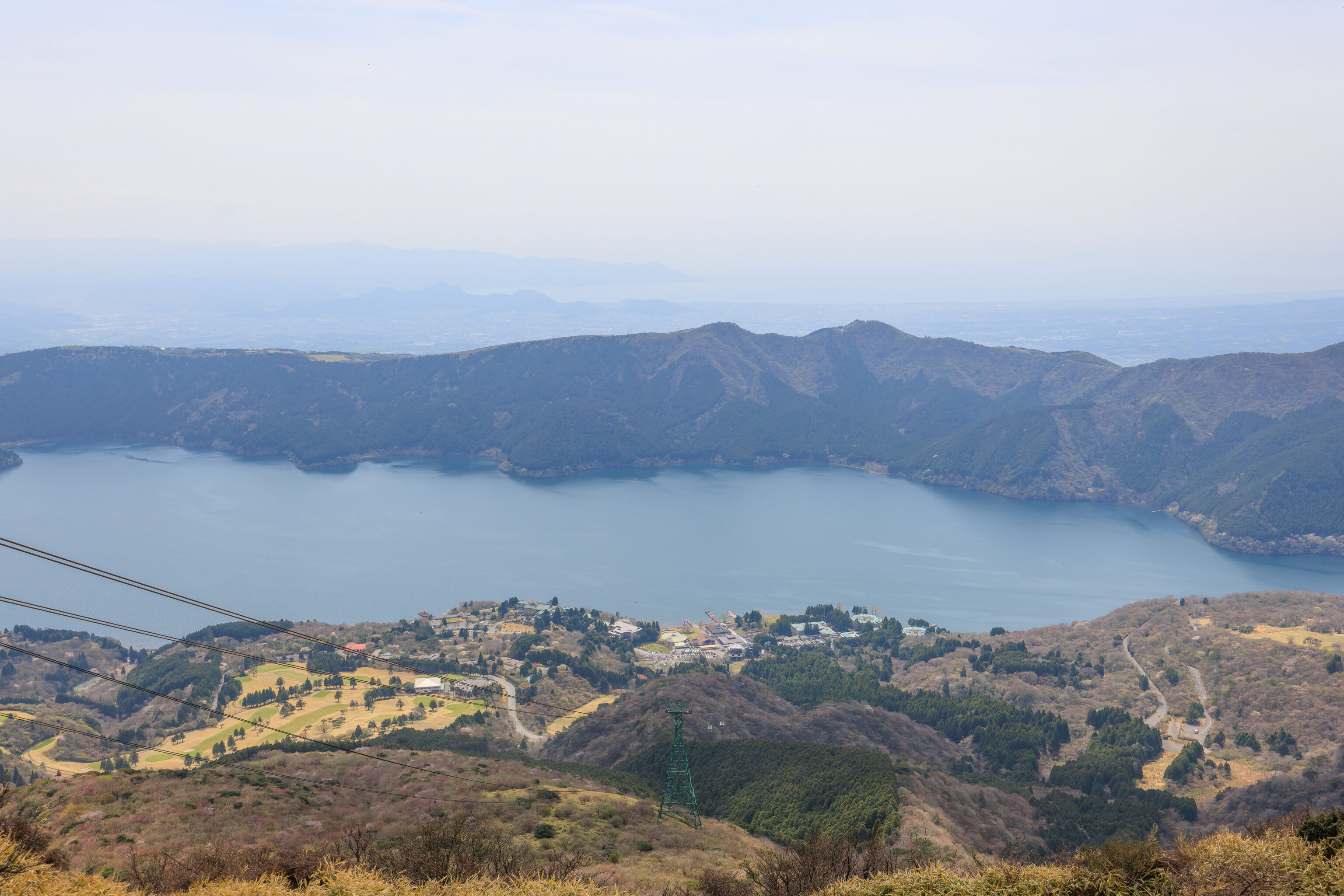
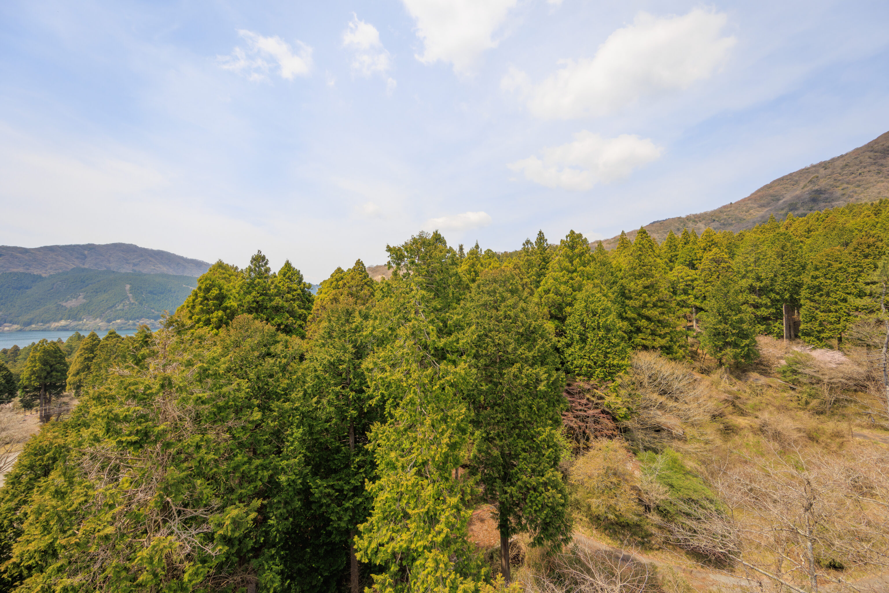
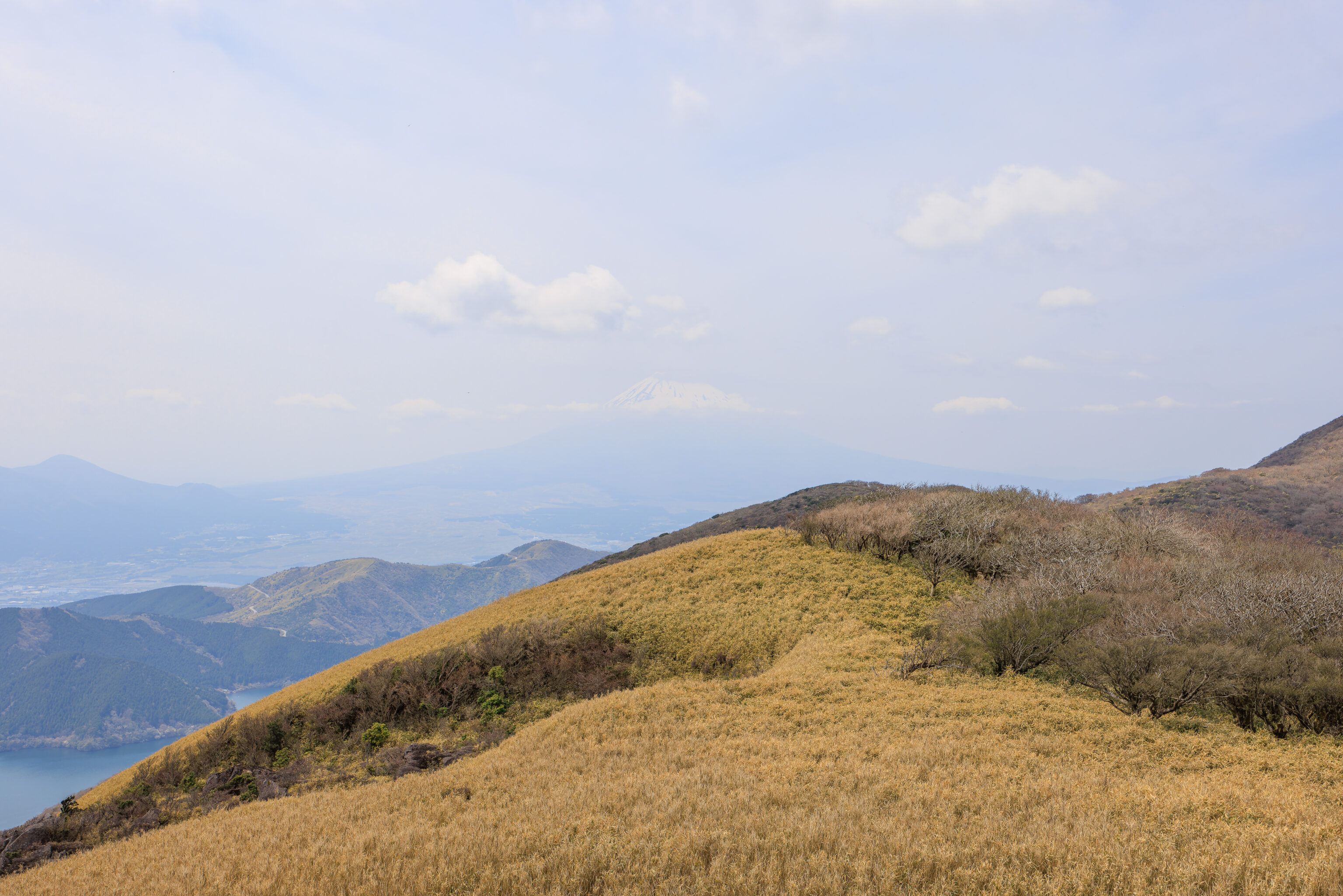
Looking down, we could see Lake Ashi to the southwest as well as 駿河湾 Suruga Bay, which opens out into the ocean, at the horizon. Both aerial tram cars are also visible here, more or less at the ropeway’s midpoint, though they look very tiny due to the distance.
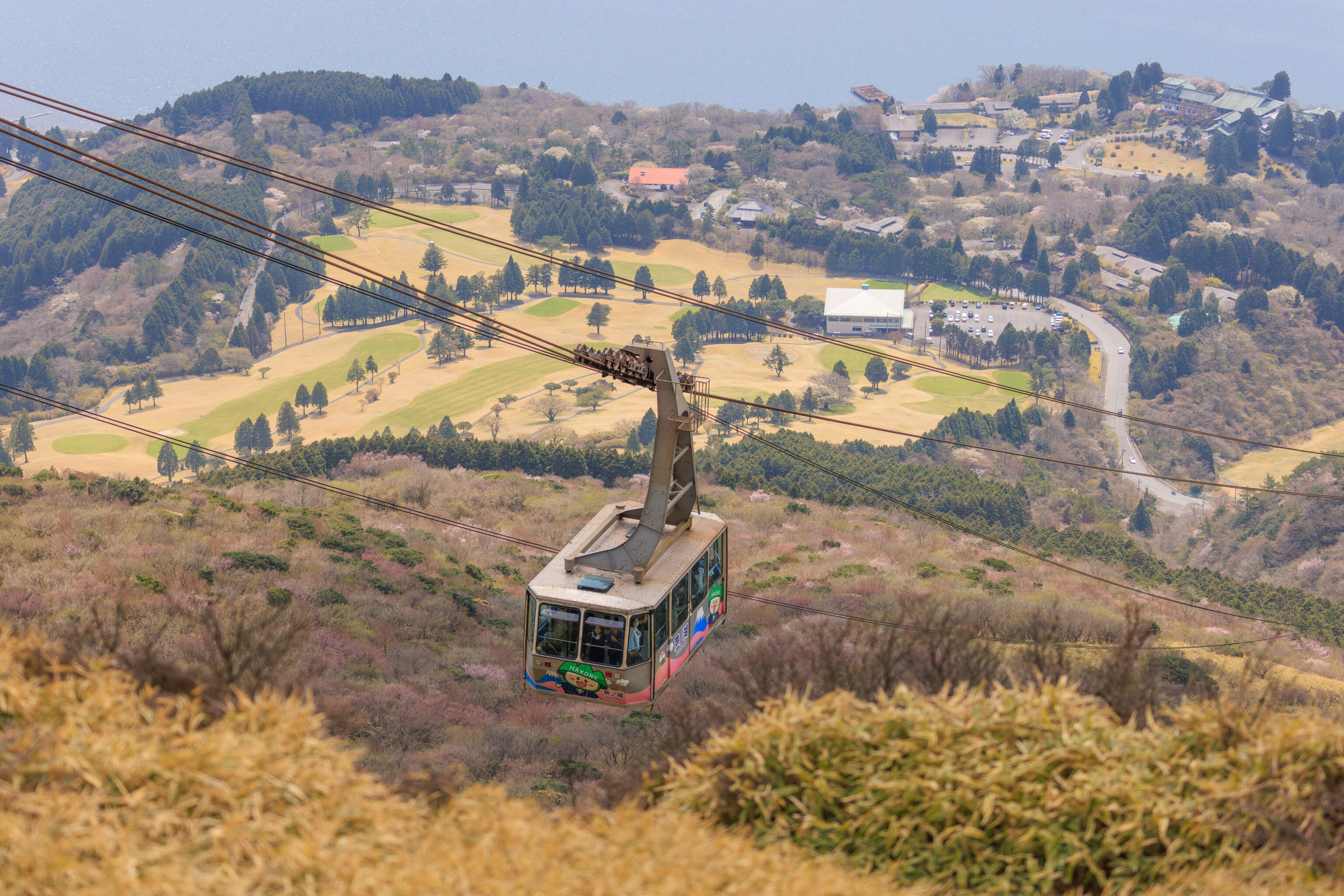
We watched as the other aerial tram car arrived.
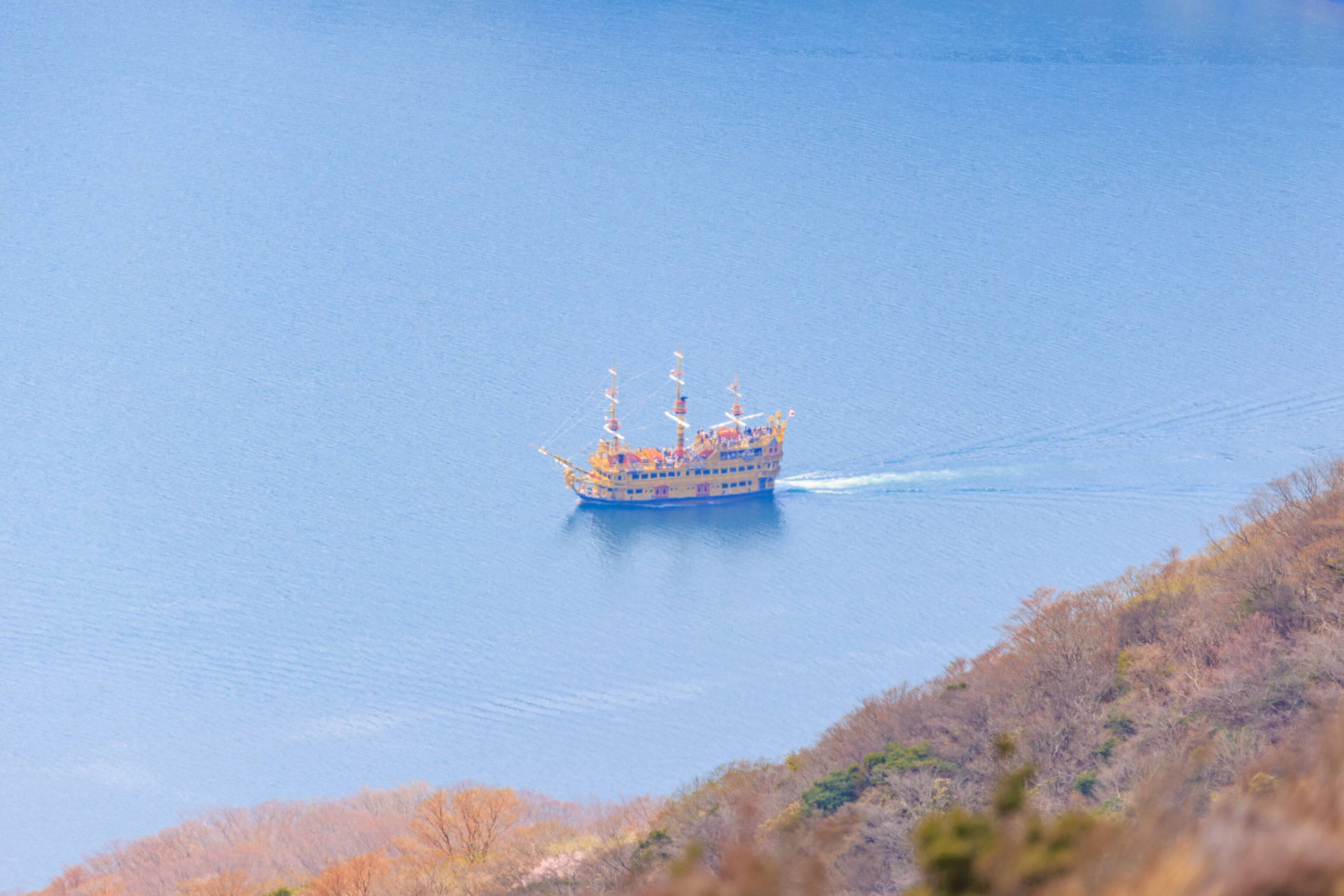
Down below, we saw one of the pirate ships on its way to the south side of the lake. This seems to be the Queen Ashinoko, we were on yesterday!
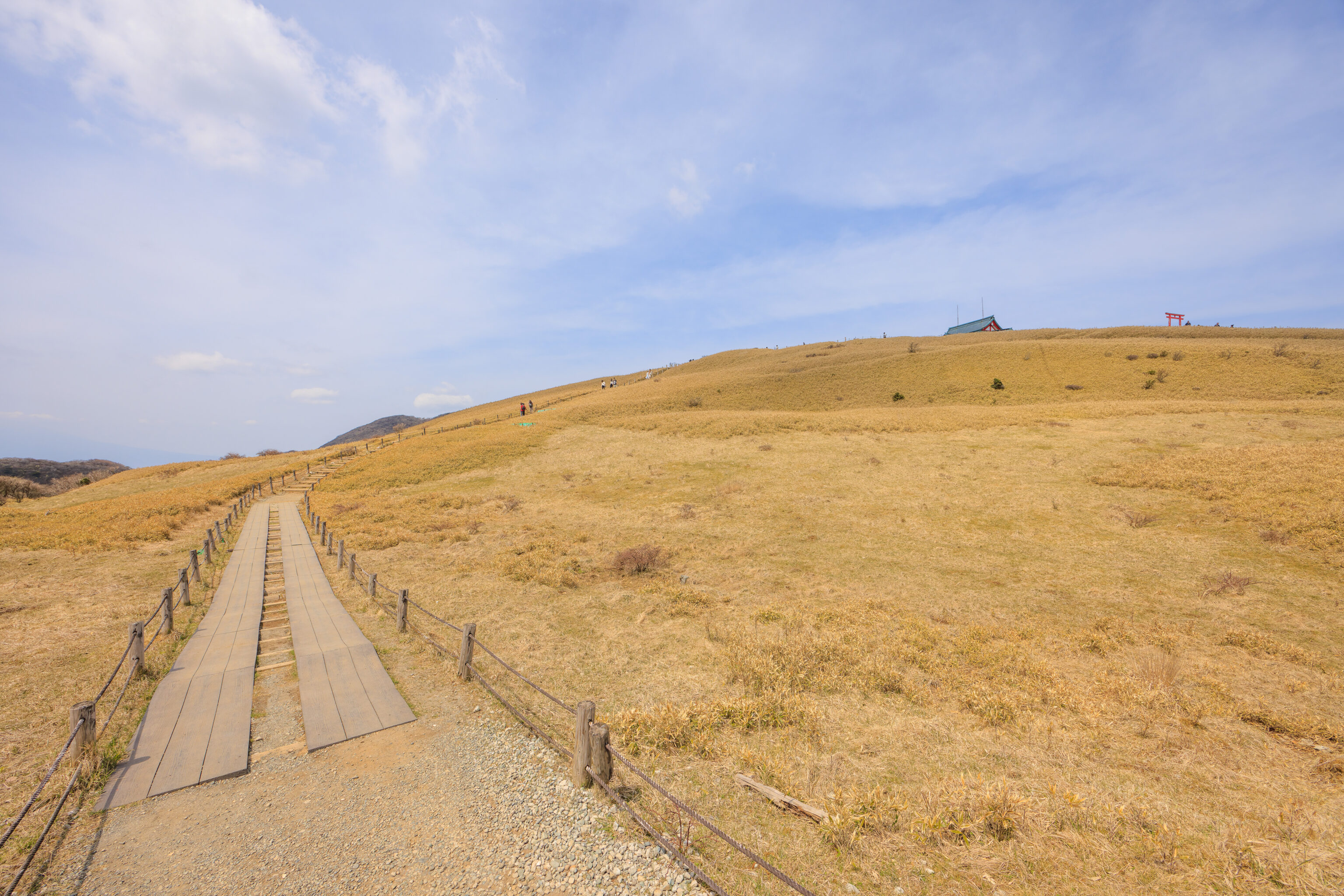
We next headed to the summit of Mount Komagatake, just a short distance above and to the northeast of the aerial tram station. There is a shrine on the summit as well as a torii, both of which were visible as we started walking up.
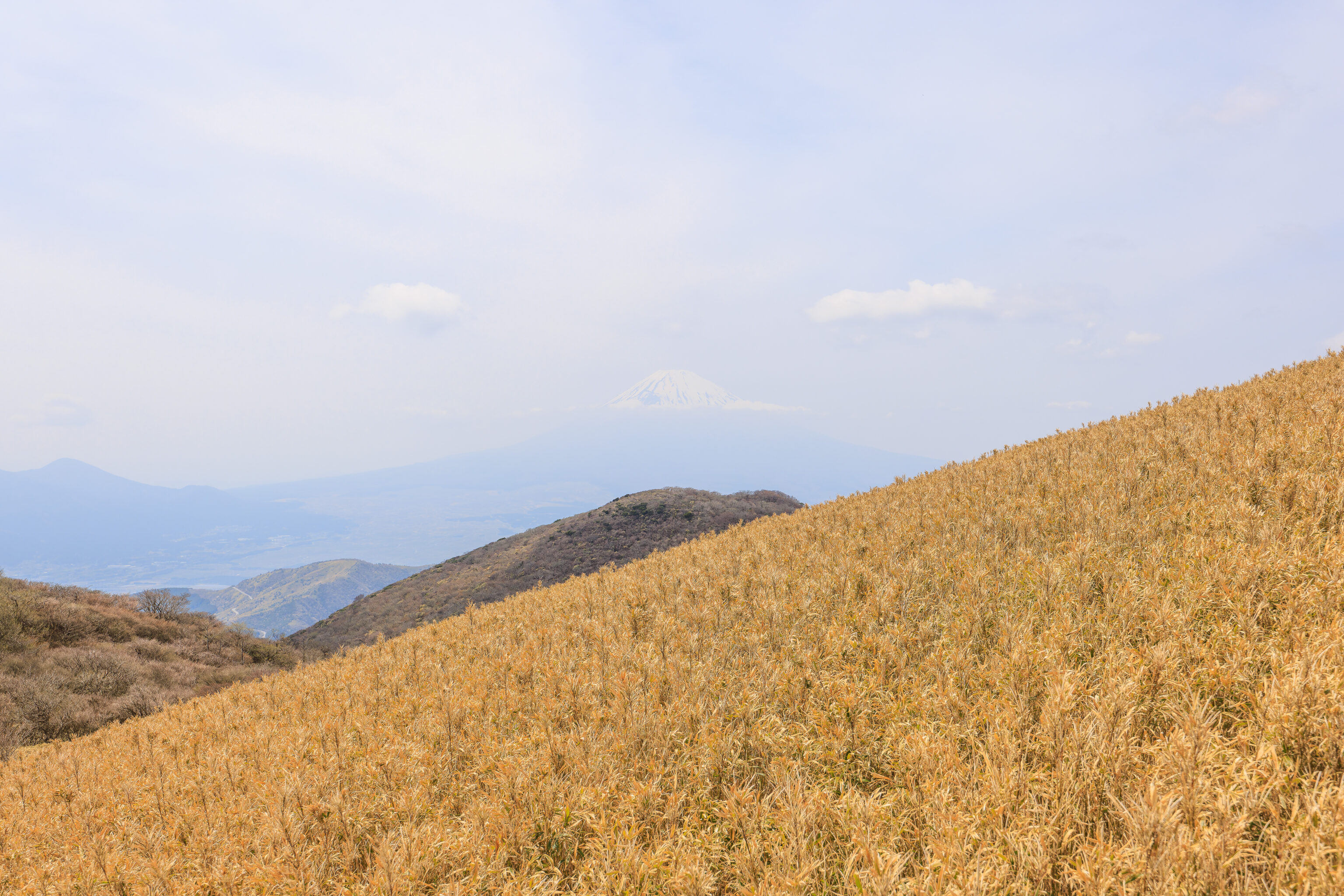
We looked to the northwest to verify that Mount Fuji was indeed still hazy. Not that we really expected it to change.
Looking behind, we could see the ropeway’s large upper terminal building. We’ve encountered many aerial tram upper stations that are at least partially built into the mountainside, this one is not.
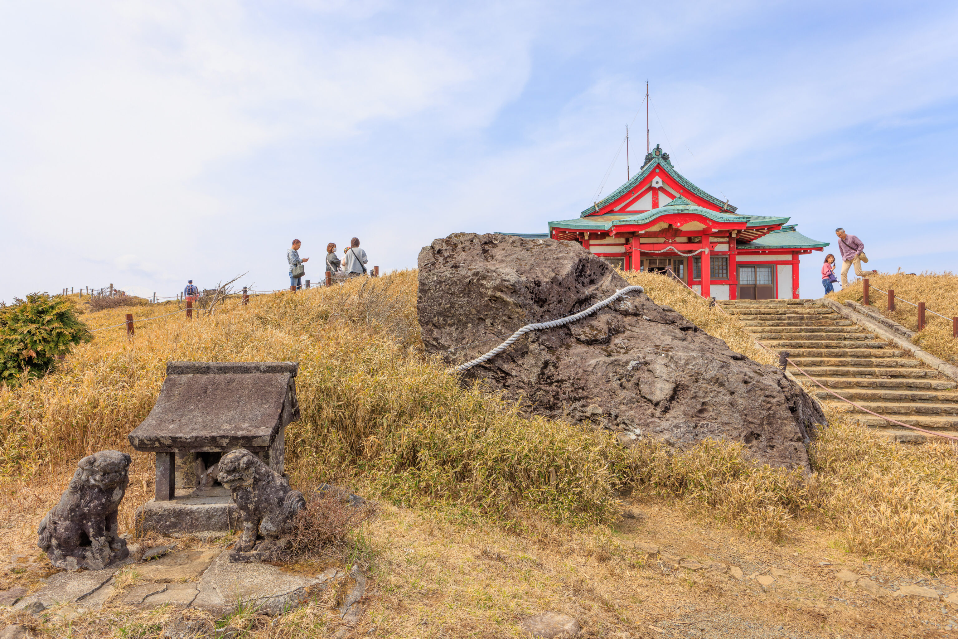
We quickly reached the summit. There isn’t much there. There is a small roped off clearing with various rocks and stones. It gives the impression that there was something here before which was demolished.
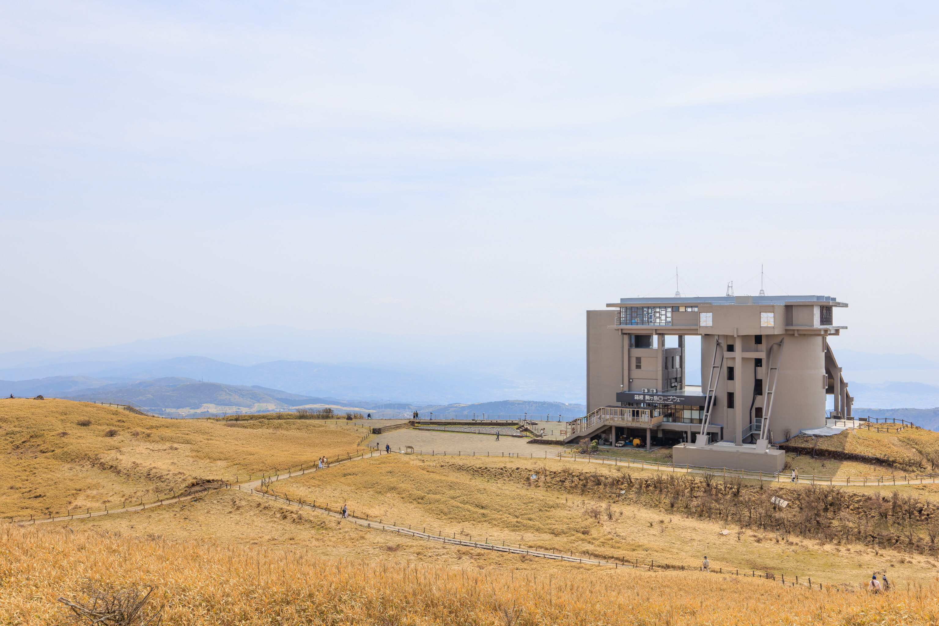
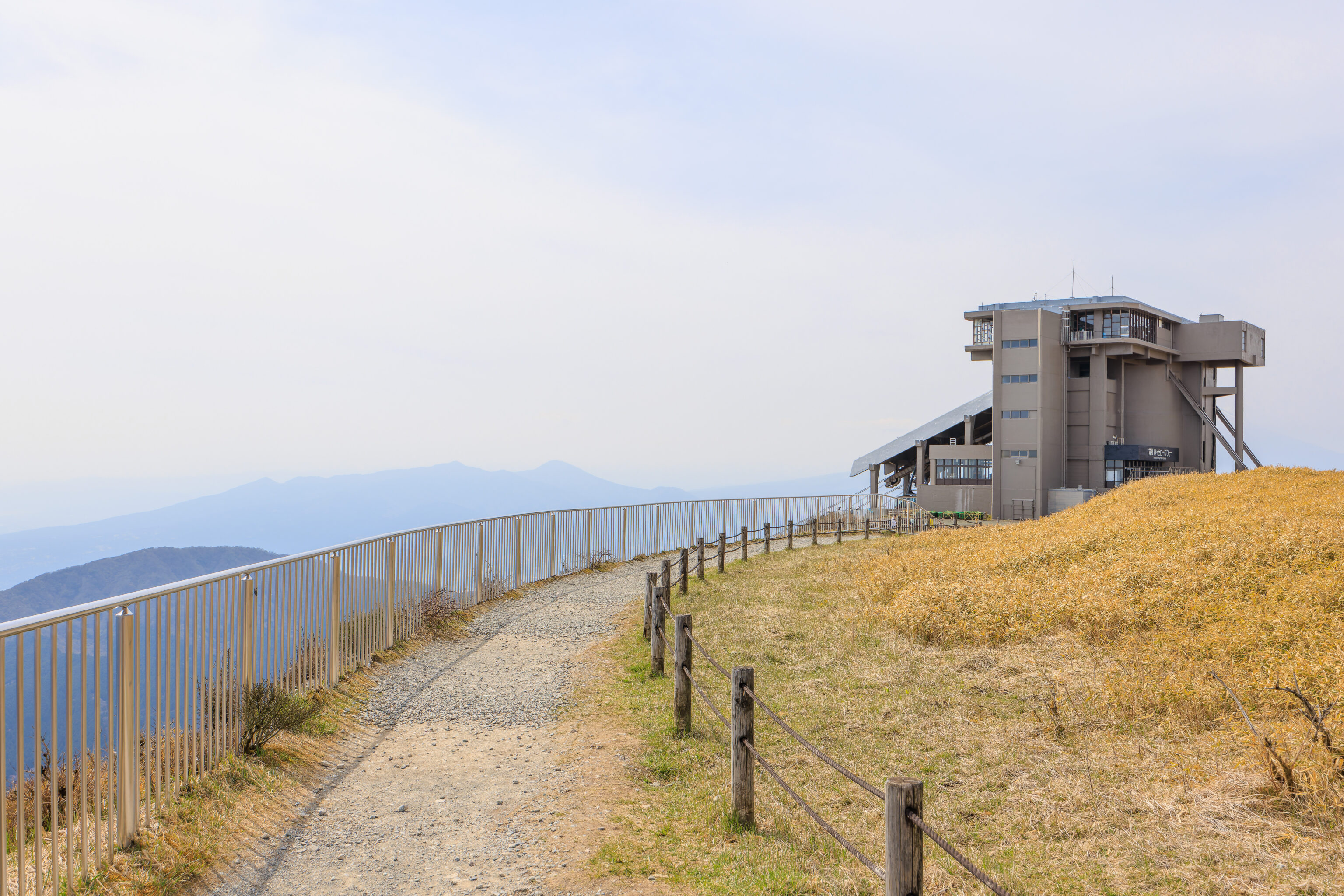
We once again looked back at the ropeway terminal. There is a large paved overlook on the east side of the building. We’ll check it out later on our way back!
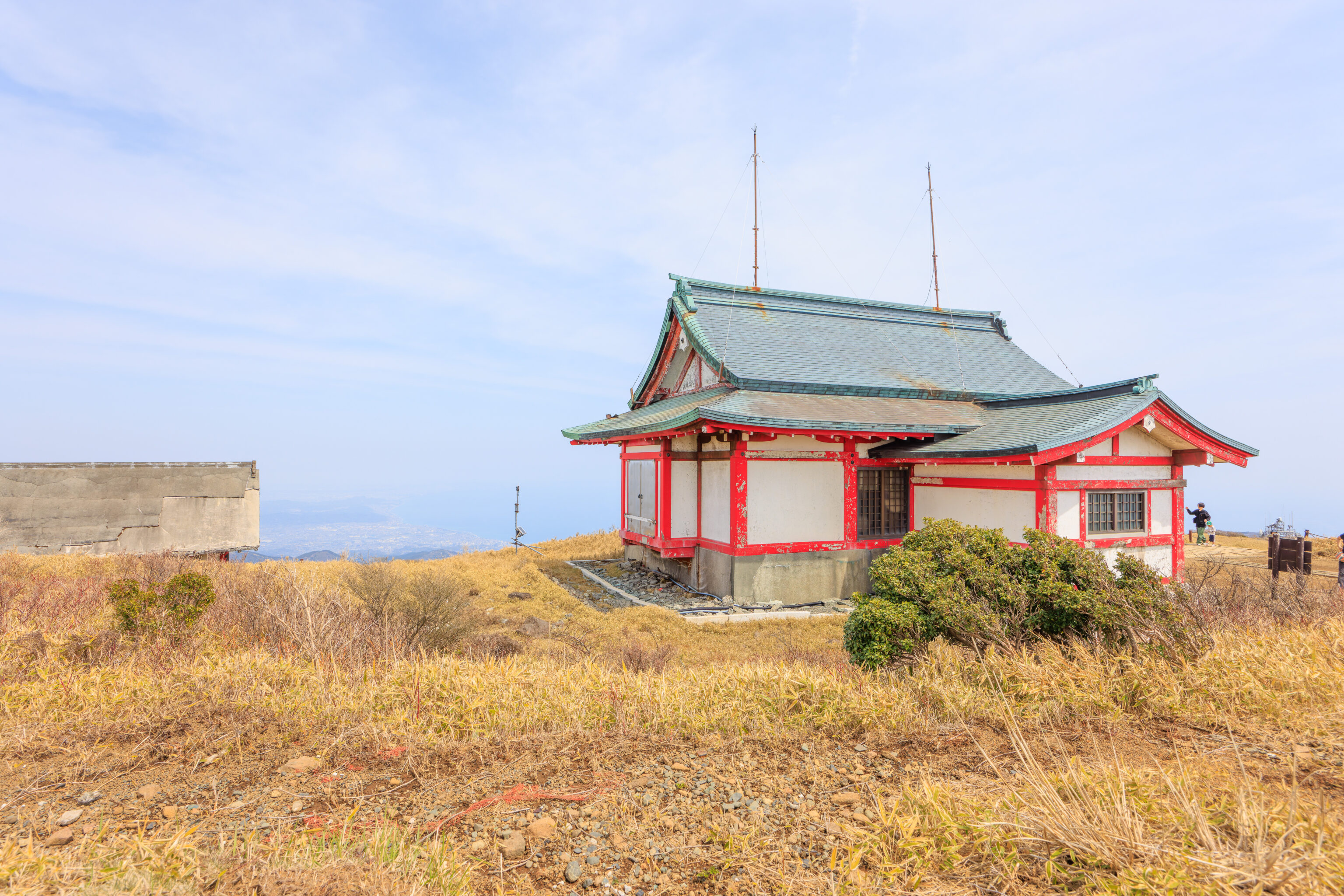
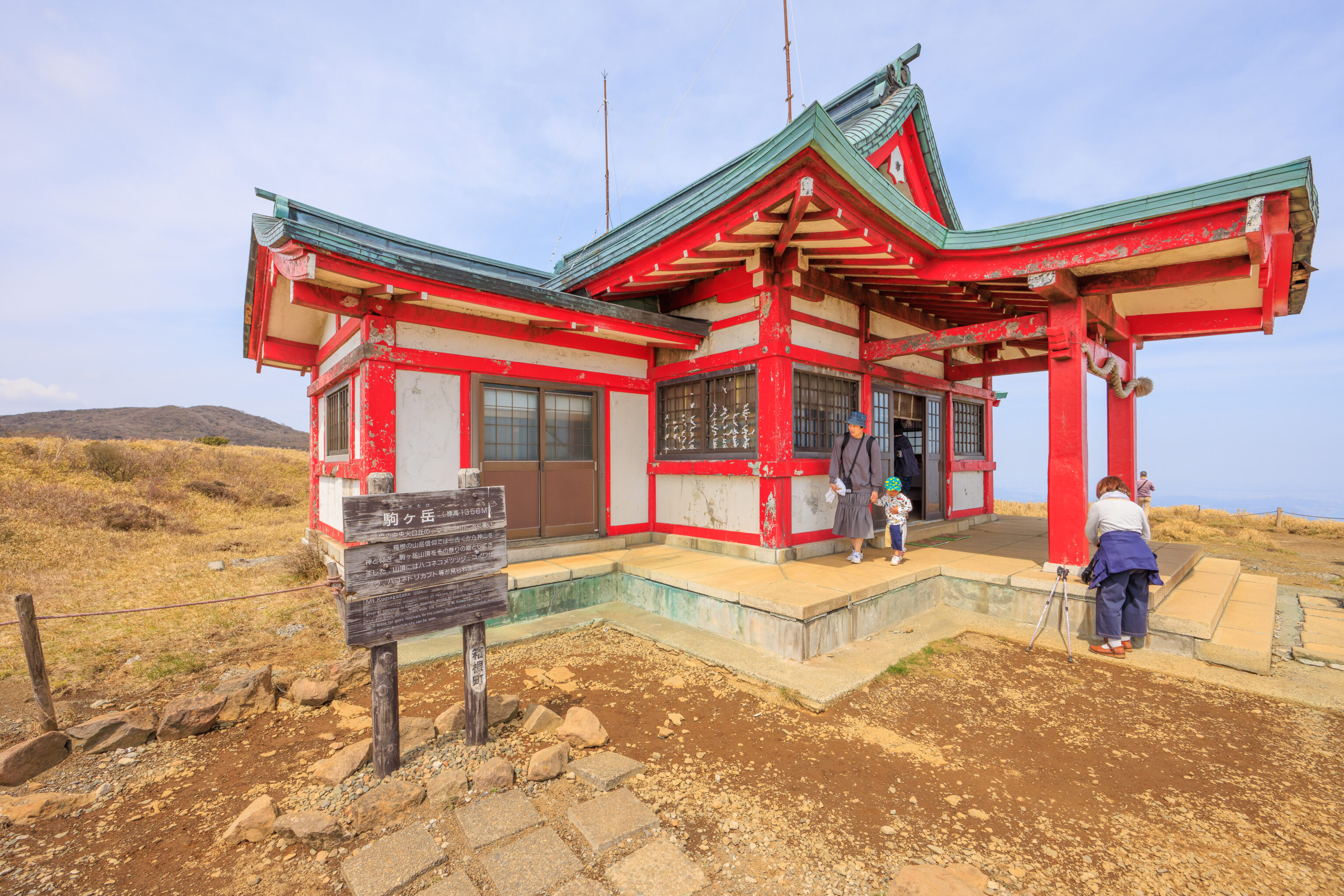
The 箱根元宮 Hakone Motomiya is a very small shrine that has seen better days. The current building was built in 1964.
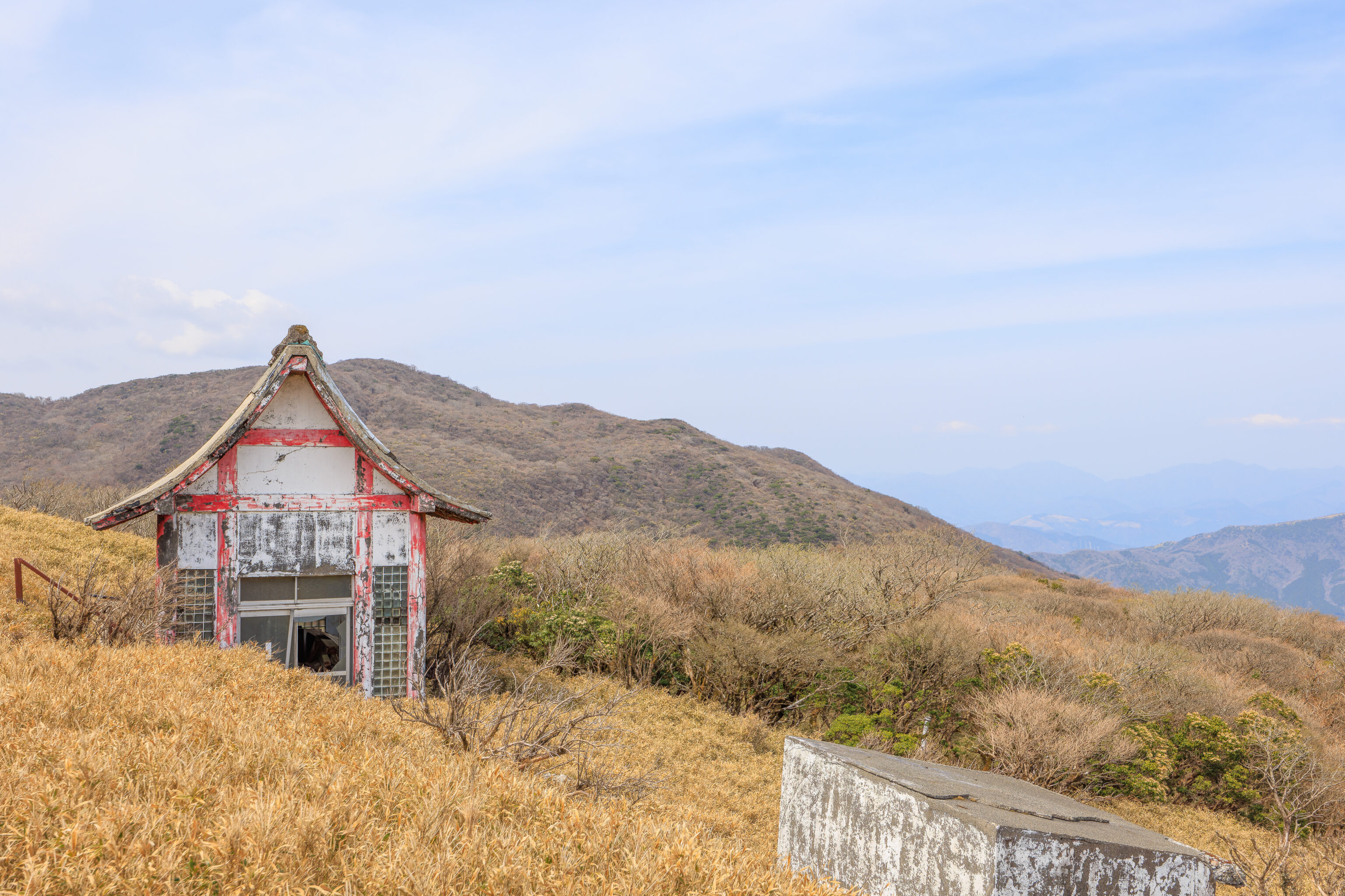
We walked around to the eastern side of the shrine to take a look. There is another small structure which seems to be quite run down.
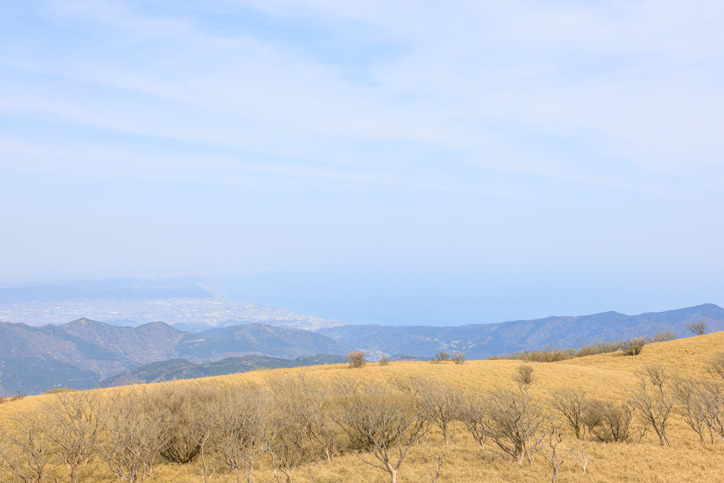
To the east, we could see 相模湾 Sagami Bay. This body of water opens out into the ocean, though given our viewing perspective, we’re likely looking towards 横須賀市 Yokosuka on the far eastern side of the bay. Kamakura, which we visited three days ago, is somewhere on the left side of the bay. It is too hazy to see anything clearly.
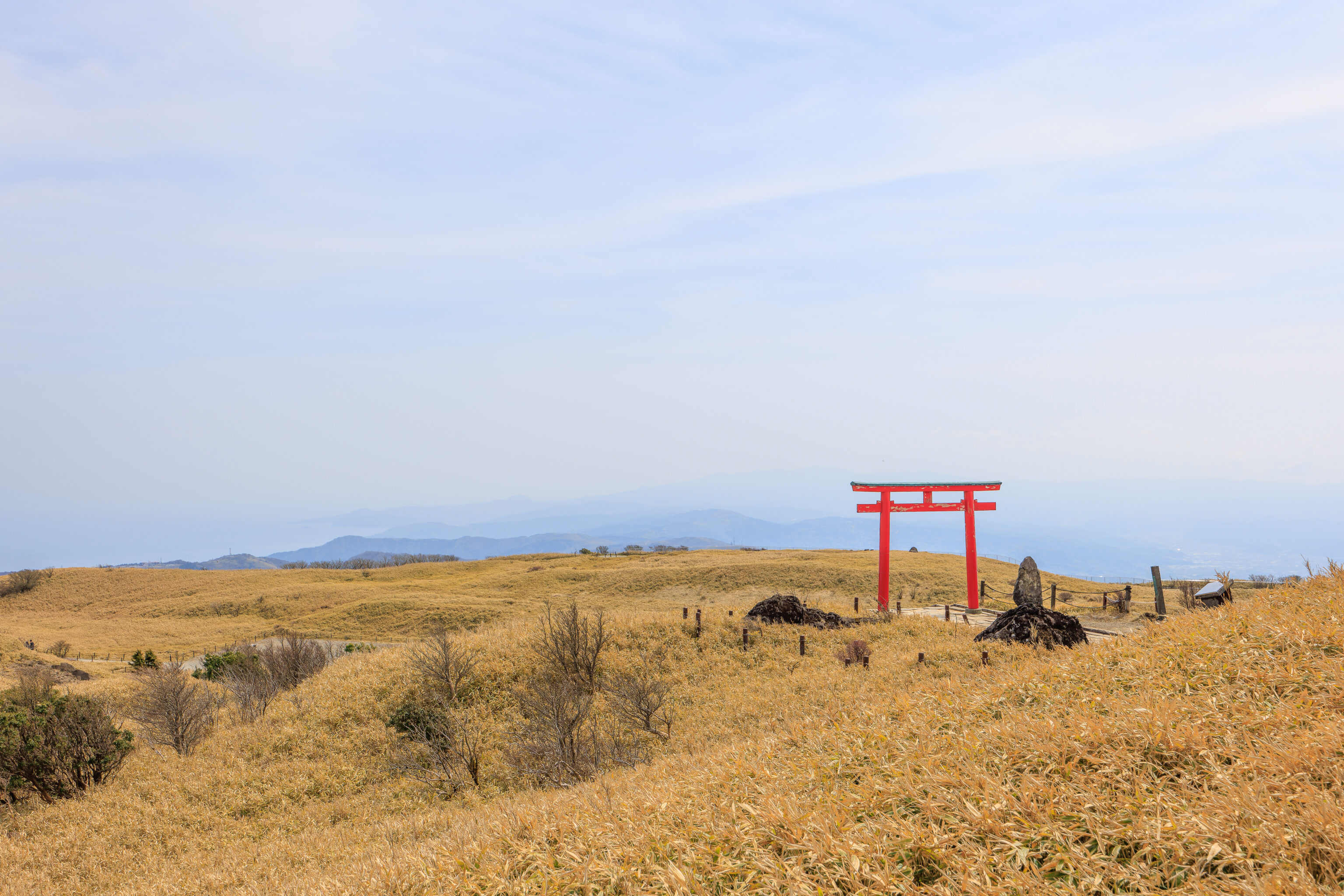
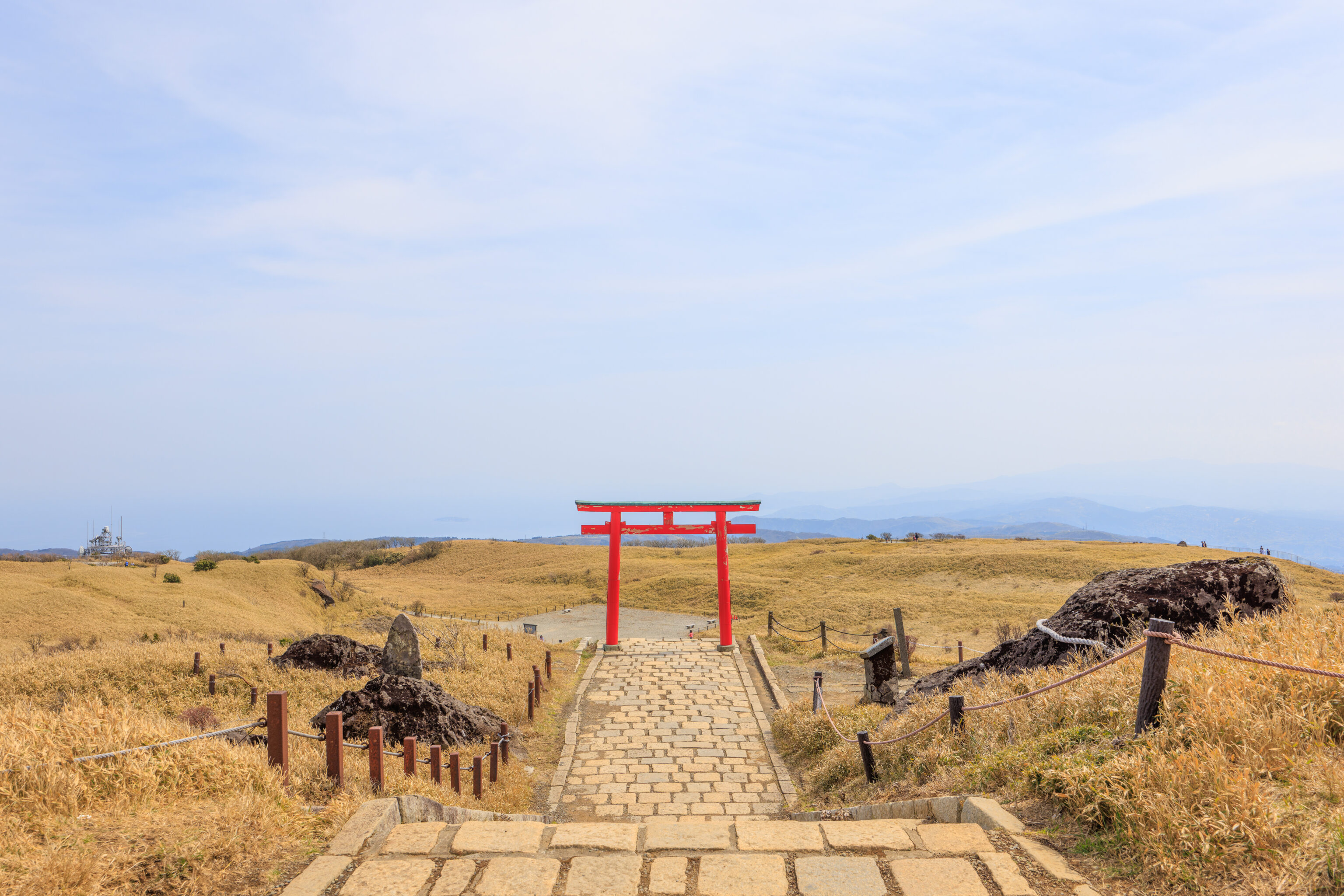
Looking to the south, we could see the torii that is on the main path up to the shrine. We came up on a side path so didn’t walk under it.
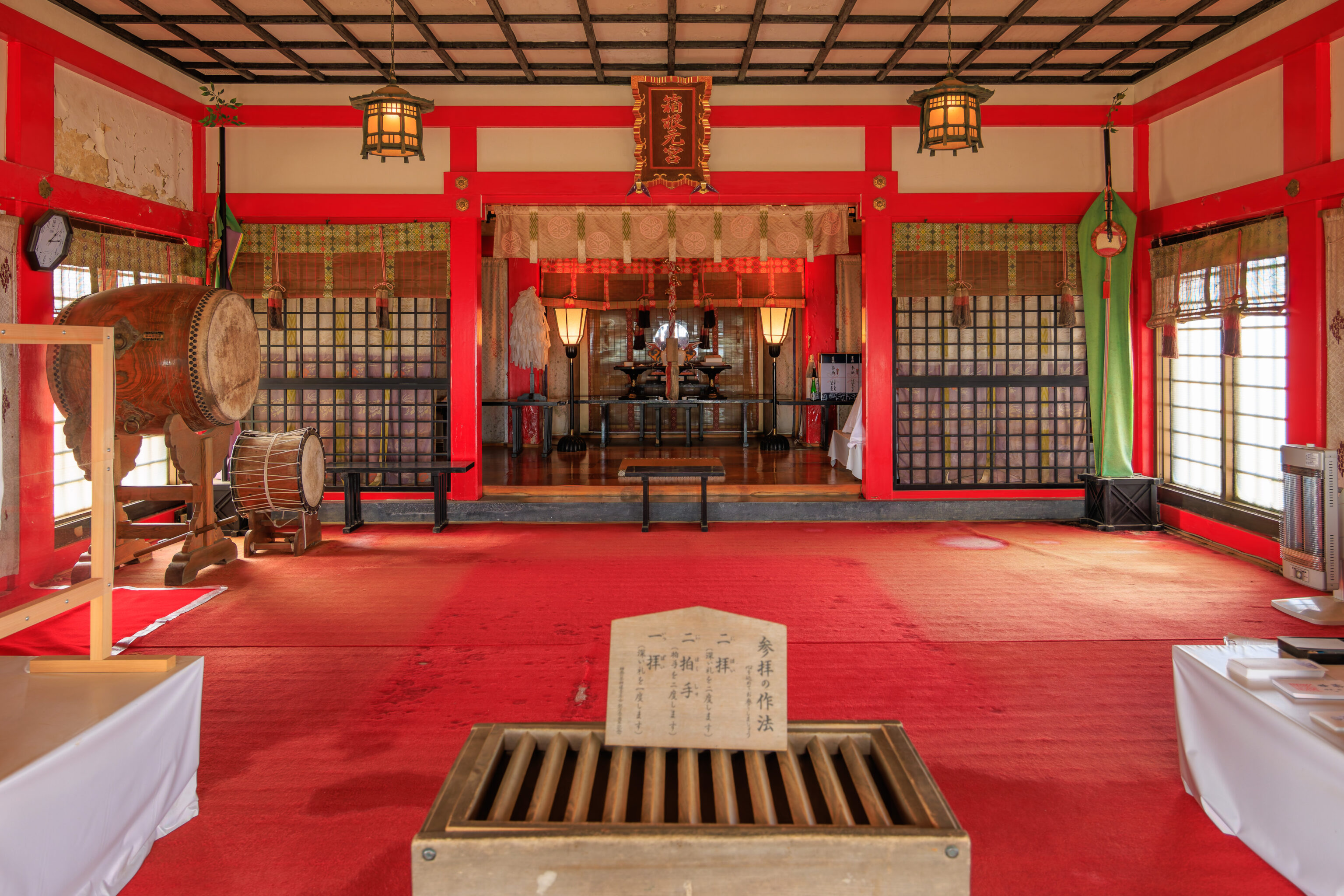
We took a quick look inside the shrine.
We turned around and started to descend via the main walkway in front of the shrine.
There is a story related to the rock, which has a rope around it, in front of the shrine. A sign explains:
The Legend of Hakuba

During the reign of Emperor Kosho, Shozen Shonin built a Shinsen shrine on the mountaintop and used it as a place for training.  The horse-falling stone and horse-riding stone that remain today are said to be the remains of a white horse landing here.  The shape of a horse is carved into the rock surface, and the hollow, said to be the footprint of a horse, is said to have never run dry, no matter how dry the sun is.

Izu Hakone Railway Co., Ltd.
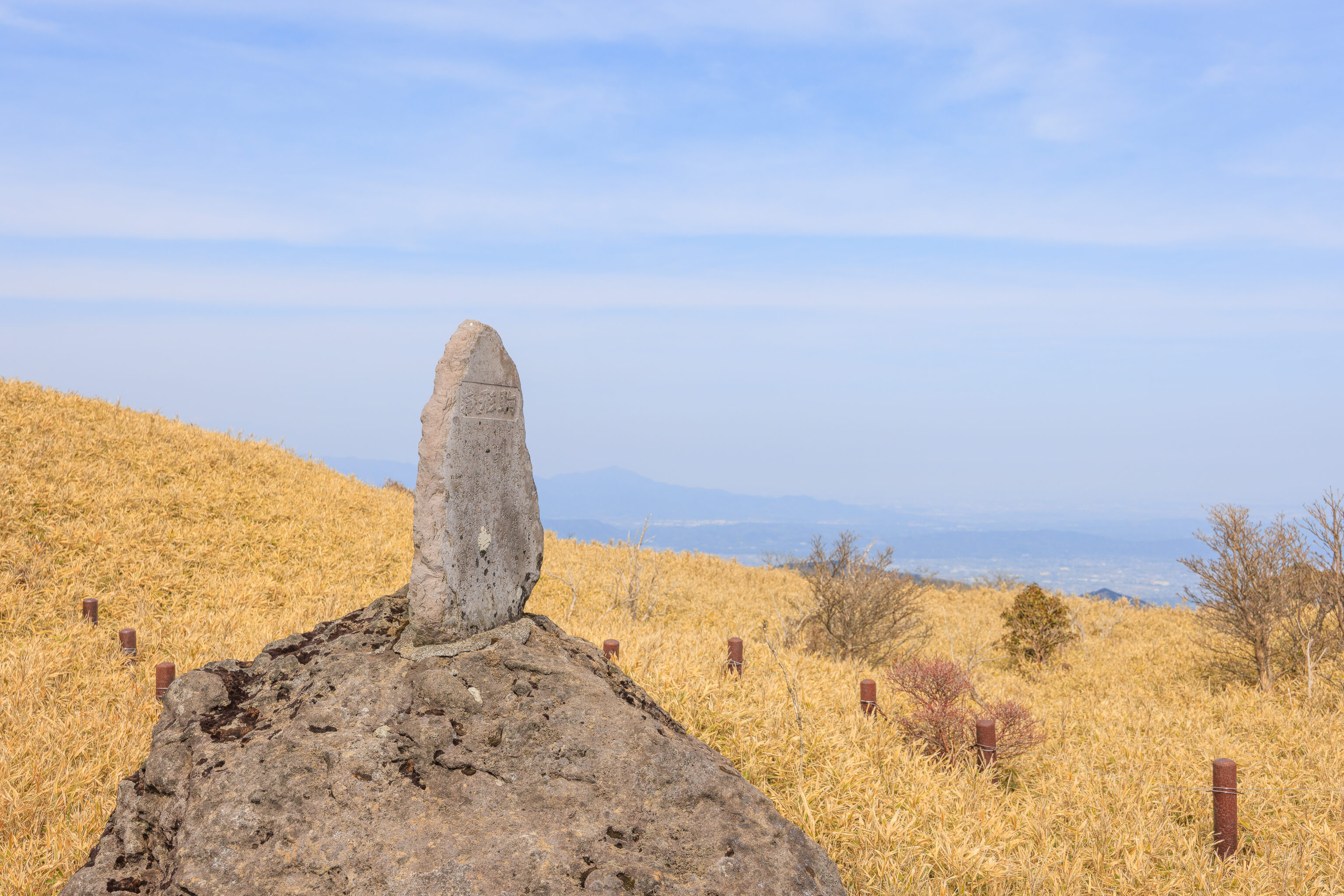
This seems to the the horse-riding stone, based on the website description of the “horse riding rock on the right side of the approach, which still bears witness to the faith in the white horse.”1
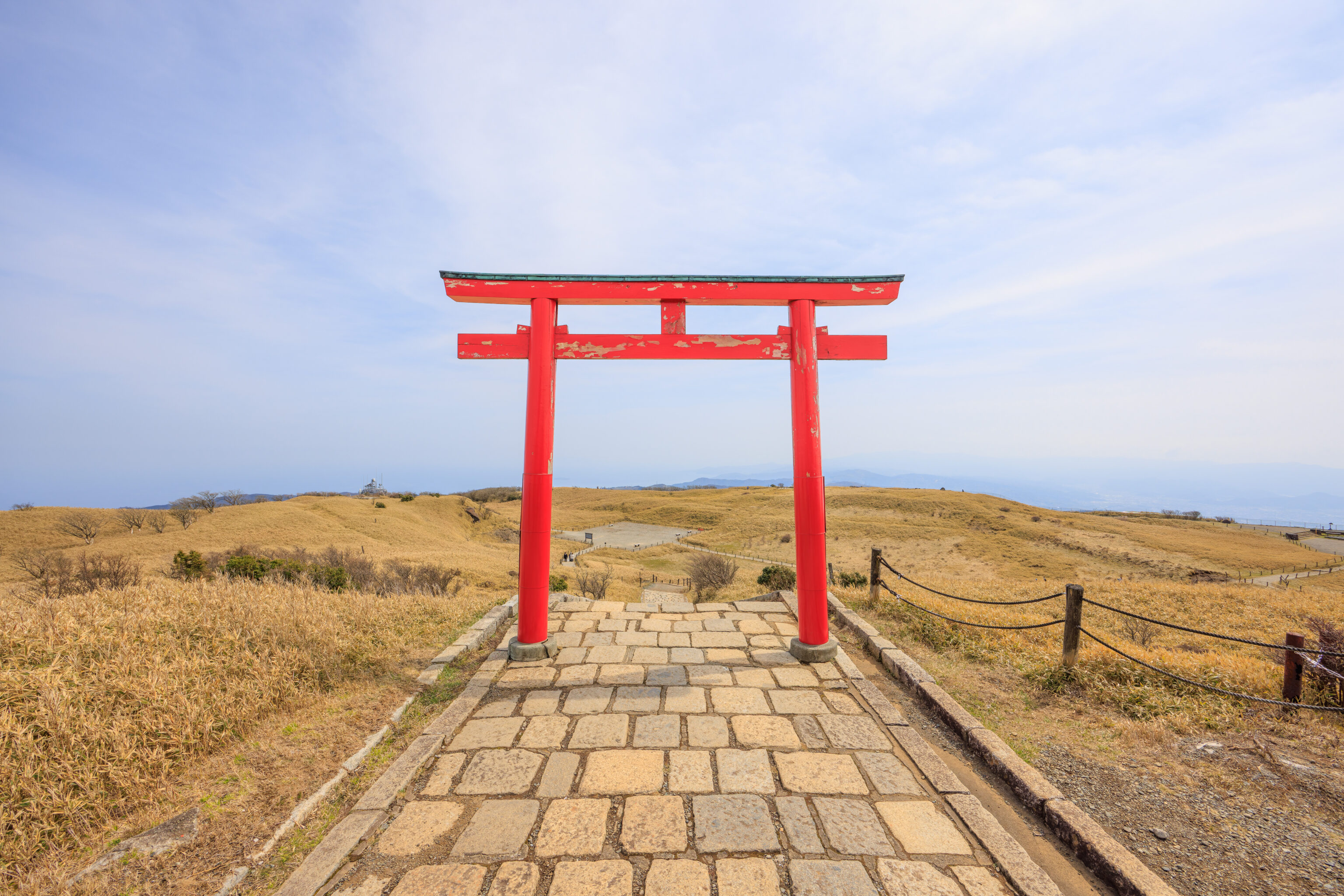
We continued on and walked below the torii.
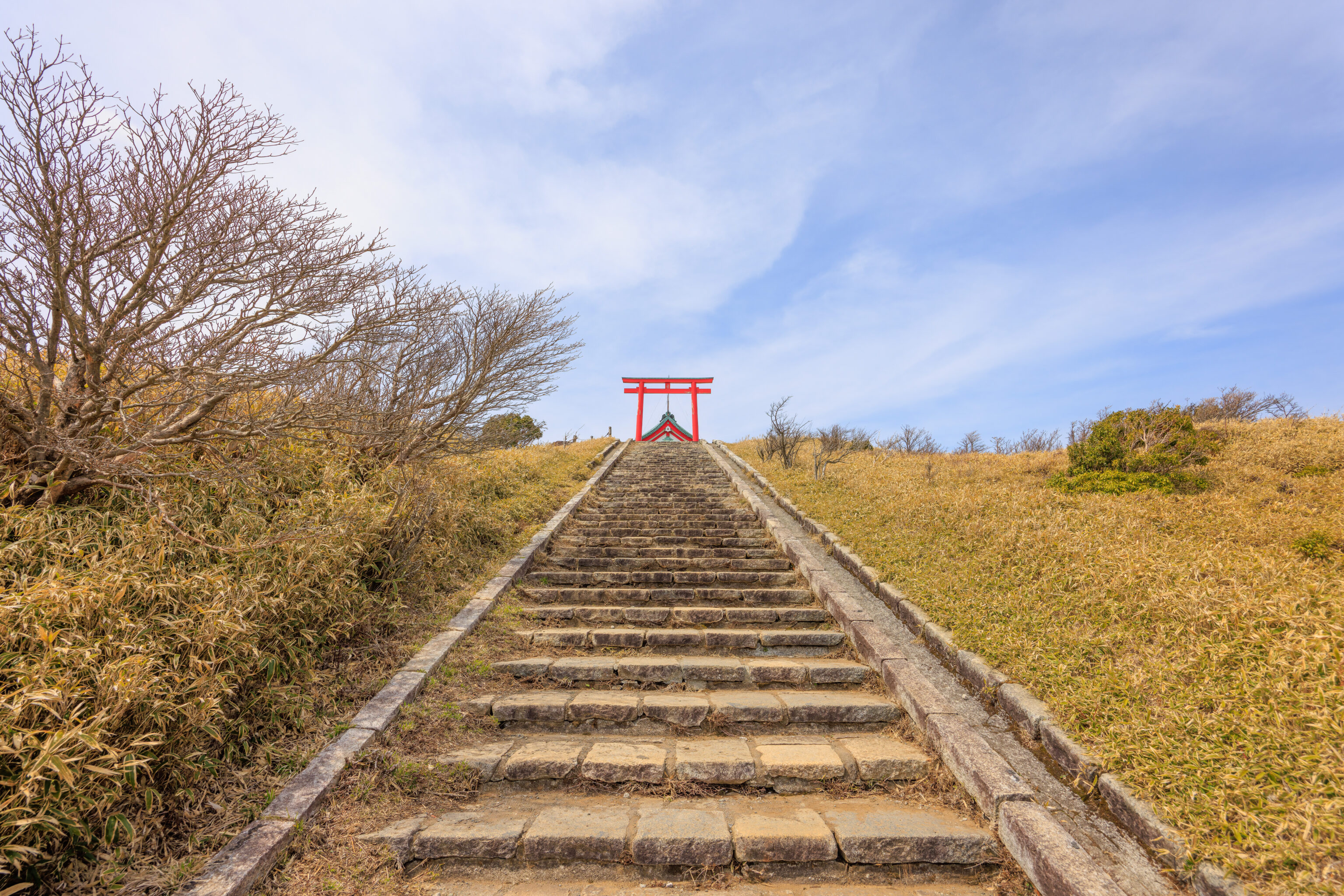
After descending a number of stairs, we looked back to the the torii above and the shrine beyond.
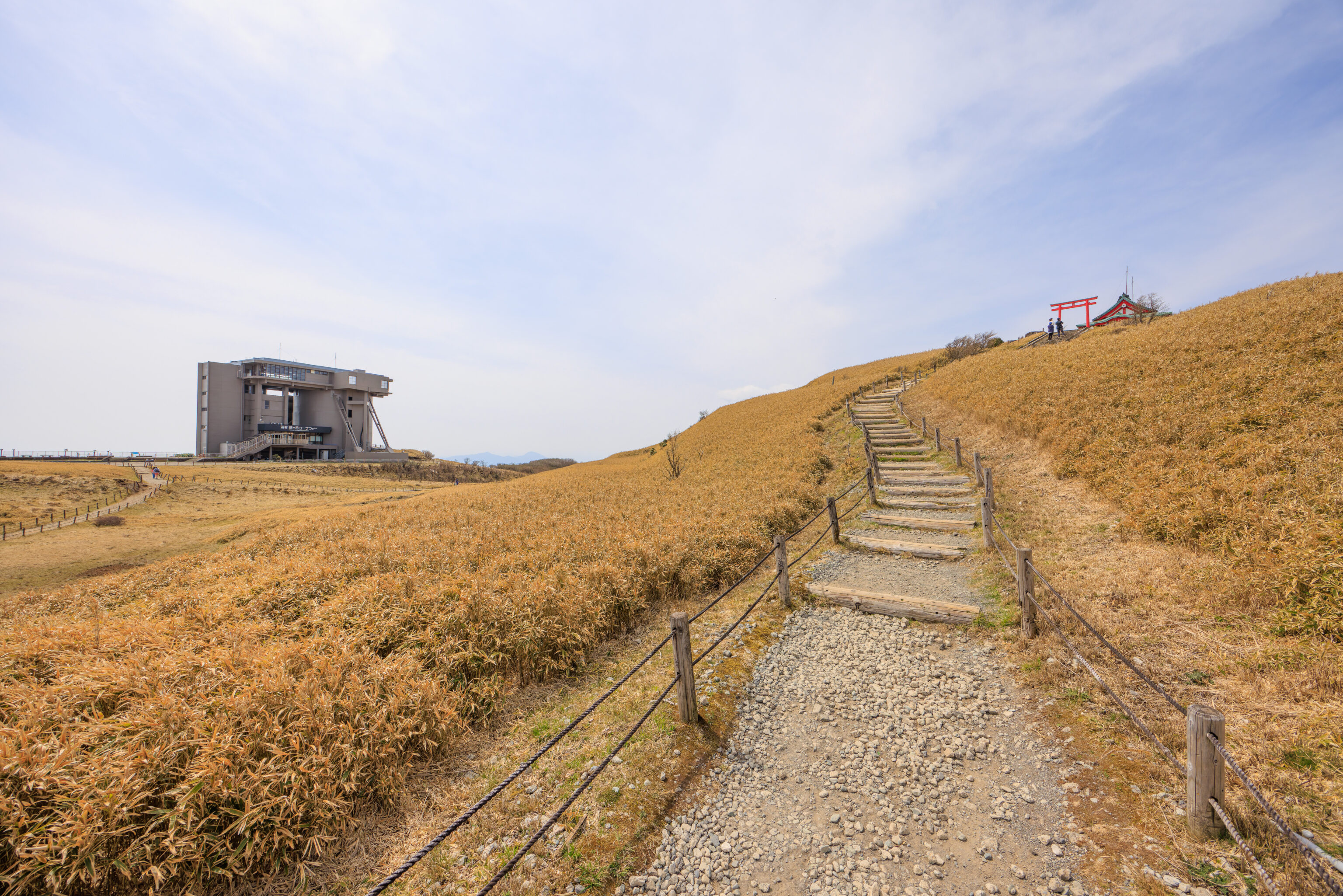
We continued following the path as it started to curve. Looking back, we could see the aerial tram station, shrine, and torii.
We soon reached a square clearing which serves as a junction. Looking up hill, we could still see the torii and shrine. We decided to head to the east, which led to a large paved overlook. This place is labelled as the 相模湾展望広場 Sagami Bay Observation Plaza on Google Maps.
We unfortunately didn’t photograph this area as it didn’t seem particularly noteworthy but it did seem like there was something here before. Looking on Google Maps’ satellite view, perhaps a funicular was here? And indeed, the Wikipedia entry for the Hakone Komagatake Ropeway mentions a funicular operated by the Izu Hakone Railway was here from 1957 to 2005. This funicular, the Komagatake Cable Line, does have a Japanese language Wikipedia page which describes its demise due to lack of ridership. The page also mentions that the summit previously had a skating rink and possibly other facilities, explaining some of the cleared areas and rubble that we saw.
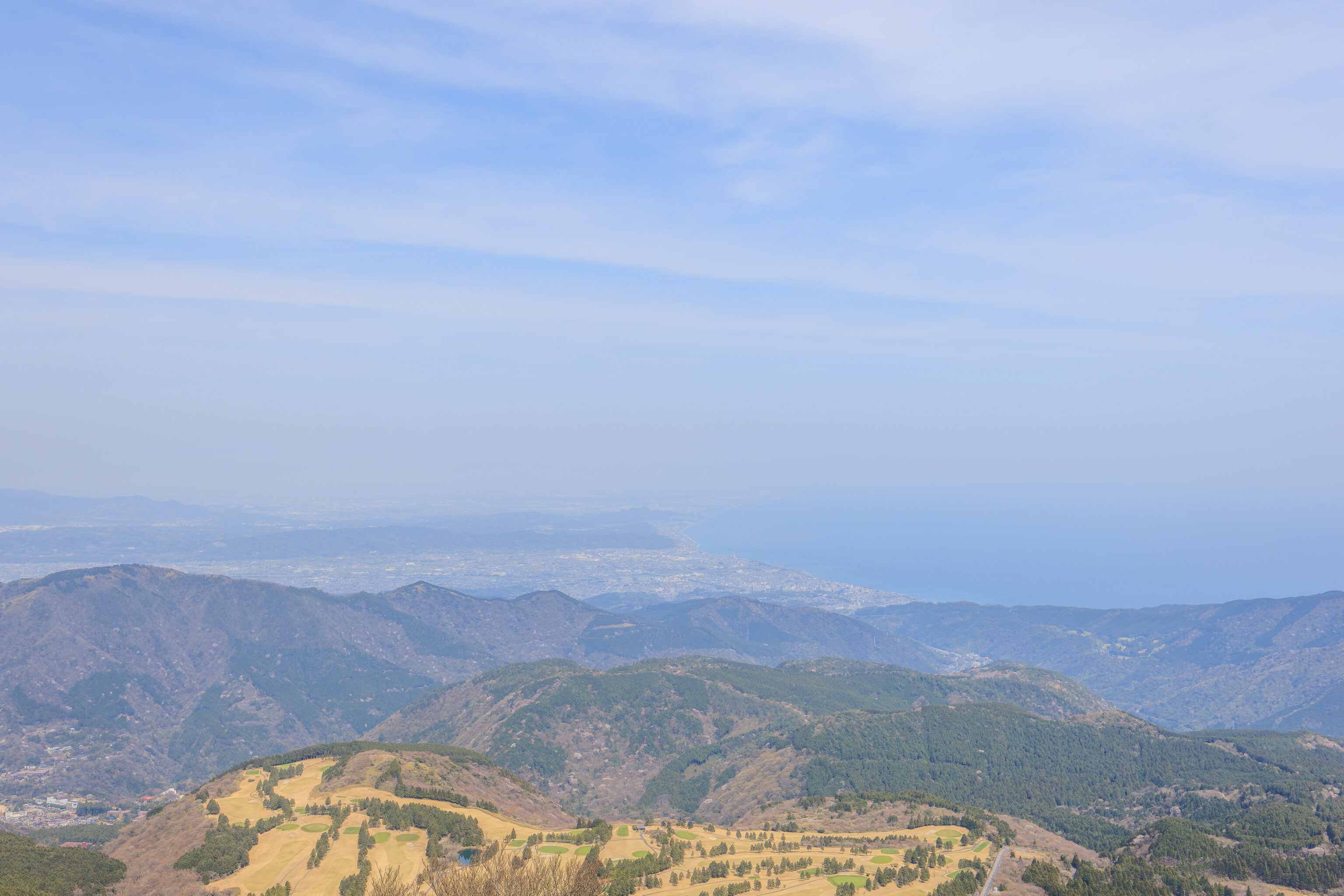
Looking to the east, we once again saw Sagami Bay as well as what must be the 箱根湯の花ゴルフ場 Hakone Yunohana Golf Course below. This spot was surprisingly noisy. There isn’t much nearby but the Tokaido Shinkansen does run along the coast in this area, along with many other local trains that go around the mountains. There is also some telecommunications equipment here, though it seemed to be louder than it should be for whatever cooling equipment may be present.
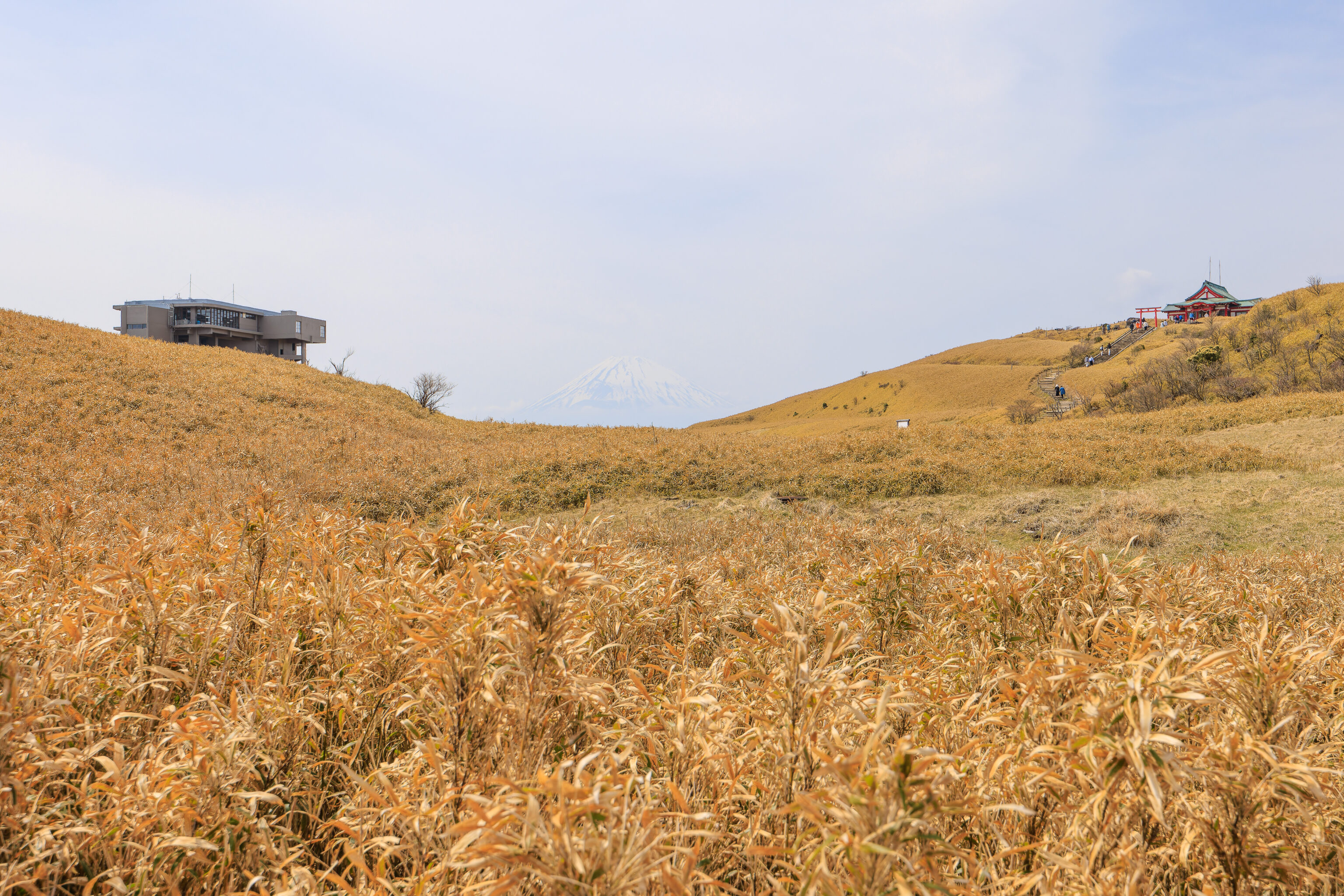
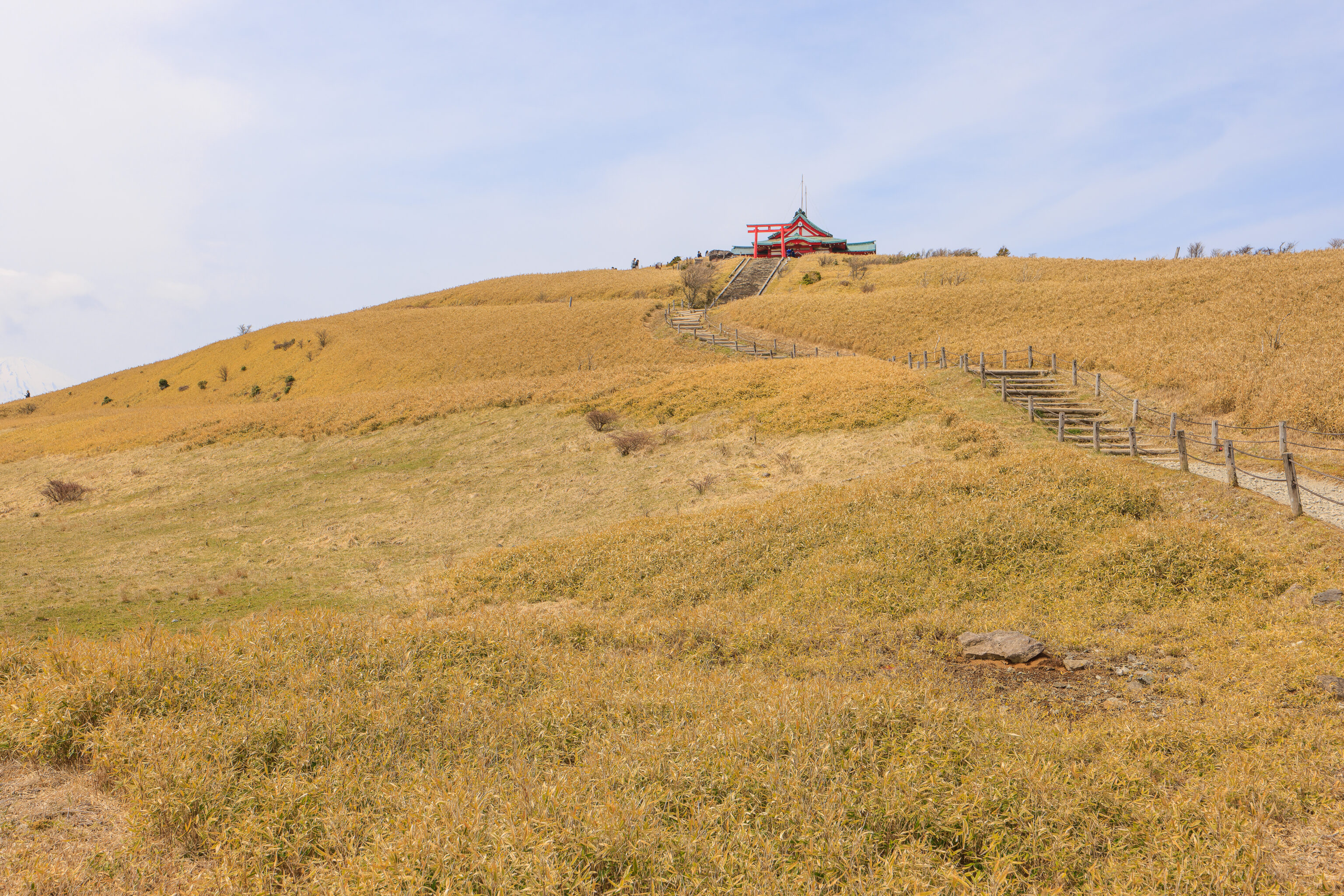
We headed to the west to head back, taking a different path from the one we took to get here. We soon had a beautiful view with Mount Fuji in the middle, flanked by the ropeway terminal and shrine.
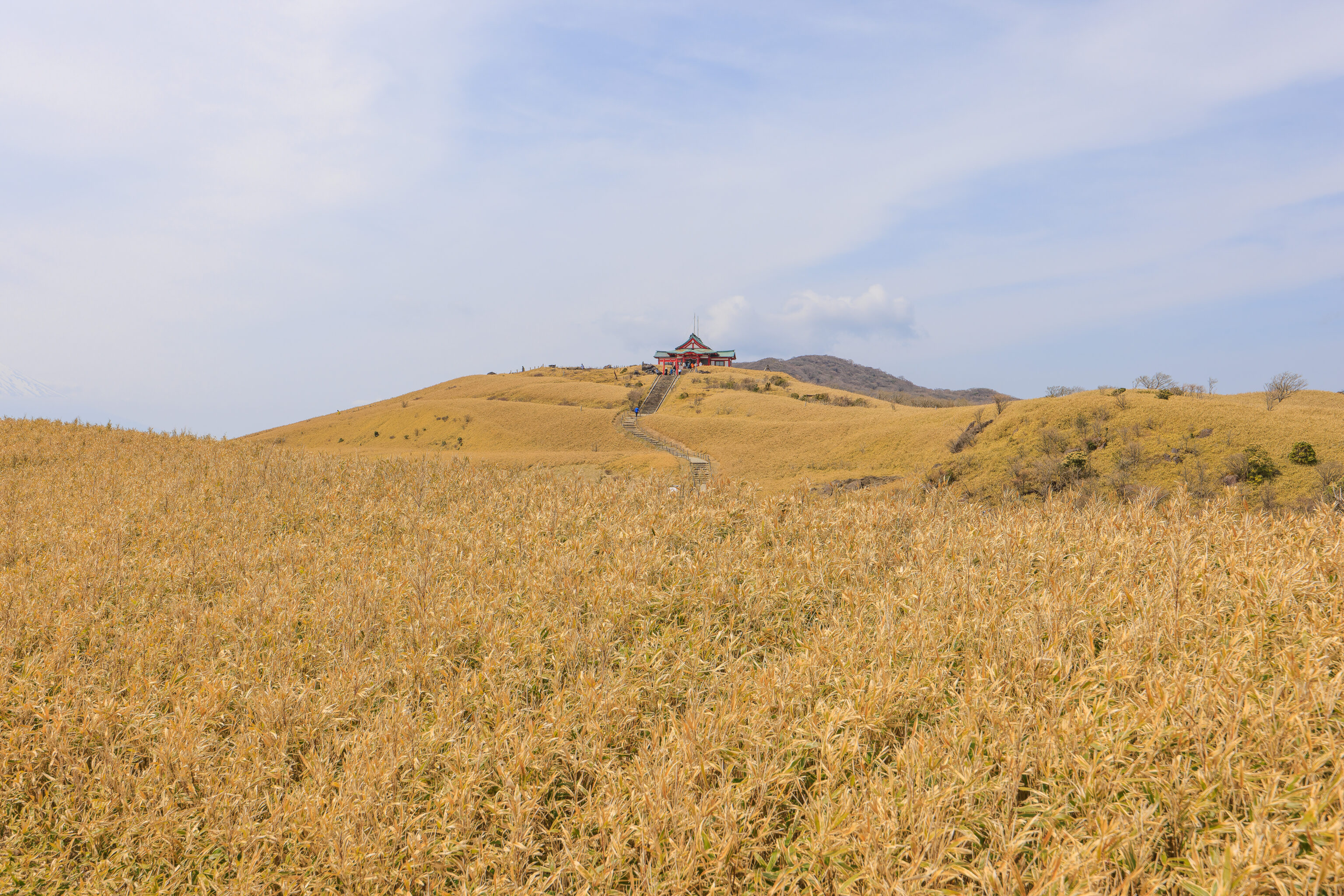
We looked to the north as we continued walking, getting a good view of the walkway leading up to the shrine, the same path that we descended by earlier.
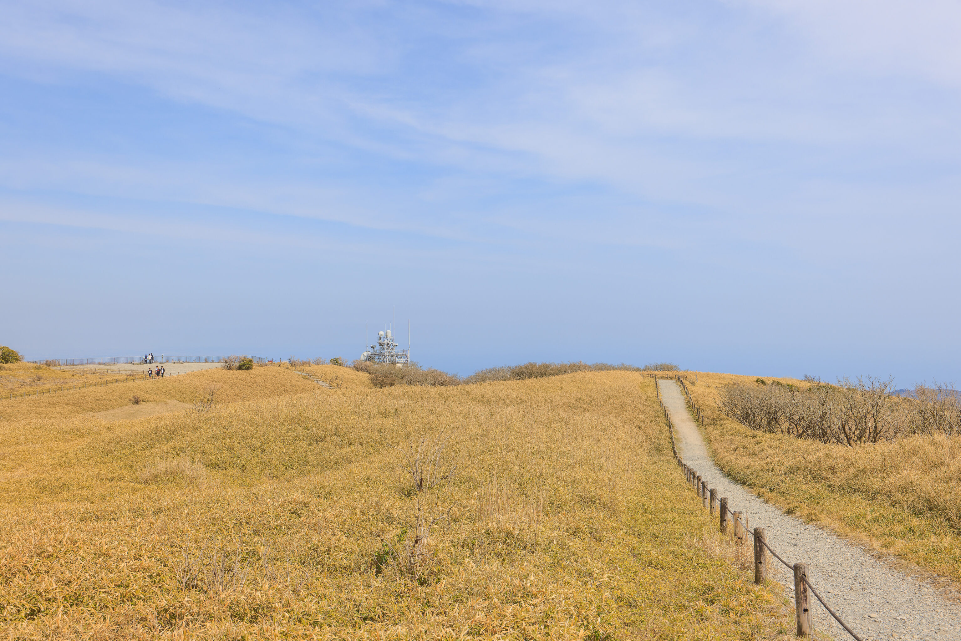
Looking back, we could see the overlook that held the former funicular station as well as adjacent telecommunications equipment.
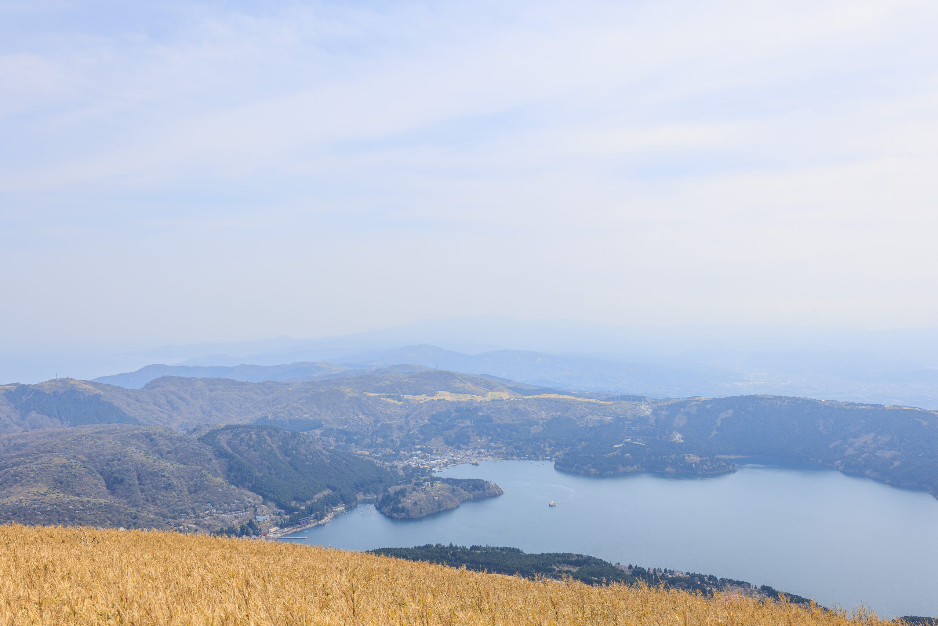
We soon had a nice view of Lake Ashi in front of us. We could see the Onshi-Hakone Park, which we visited yesterday, down below jutting out into the lake.
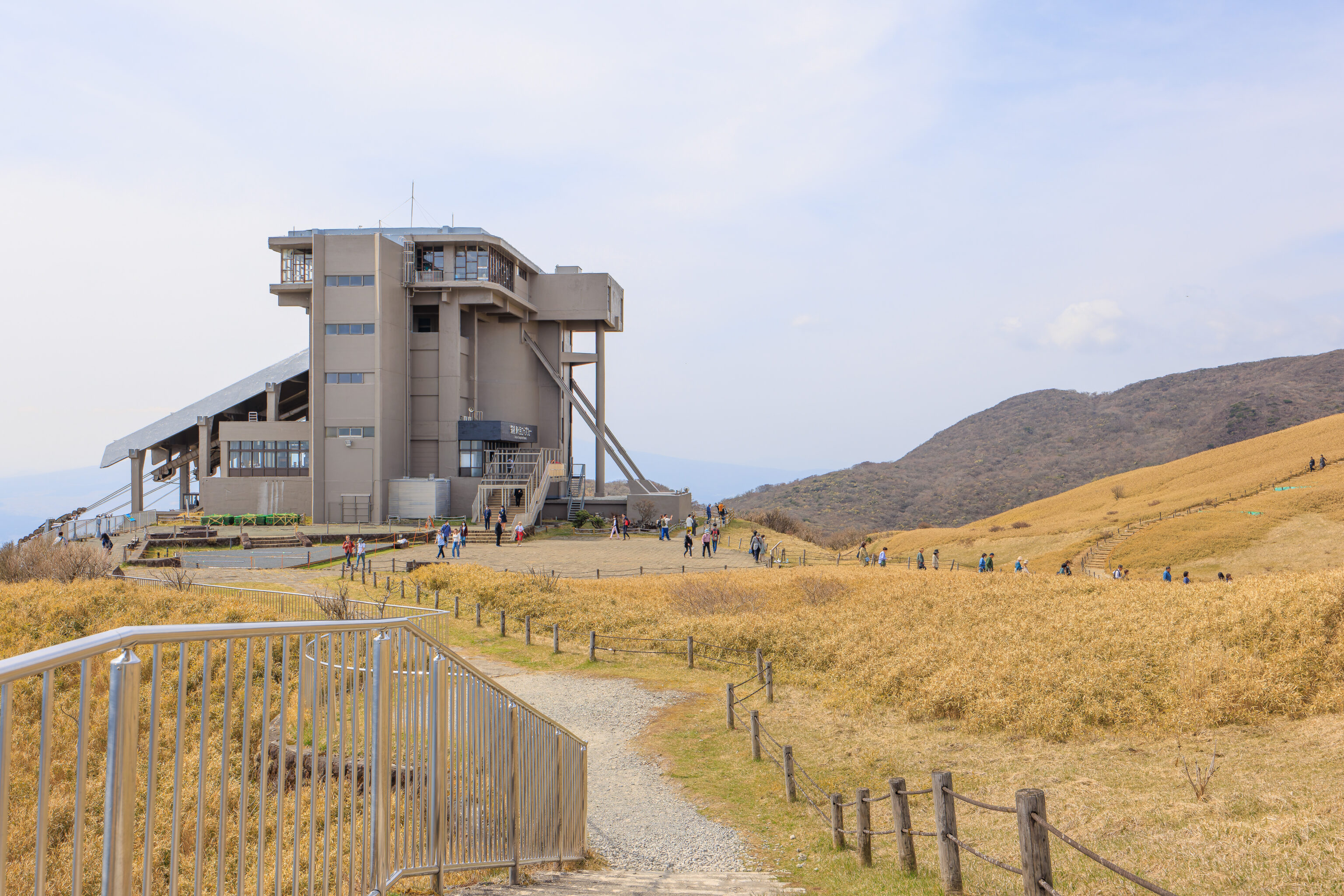
We continued on to return to the ropeway terminal.
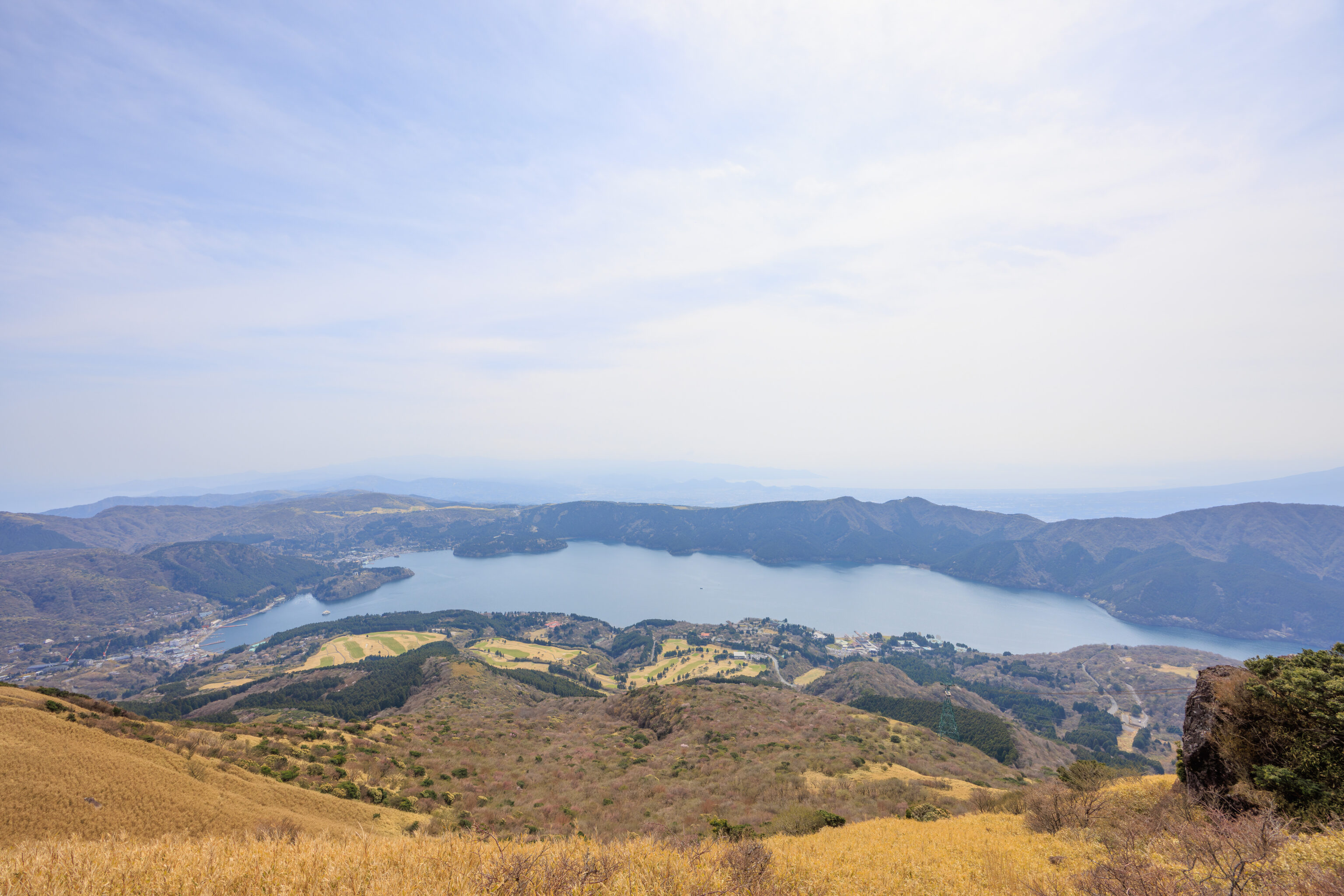
The entire southern half of Lake Ashi was visible from the viewing platform next to the ropeway terminal.
We again were able to stand by the windows in the aerial tram as we descended, once again having a view to the northwest. The haze did not improve at all during our time on the mountain.
Soon, we were back at lakeside at Hakone-en. We decided to take the next Izu Hakone bus back to Togendai, or more correctly, Kojiri.
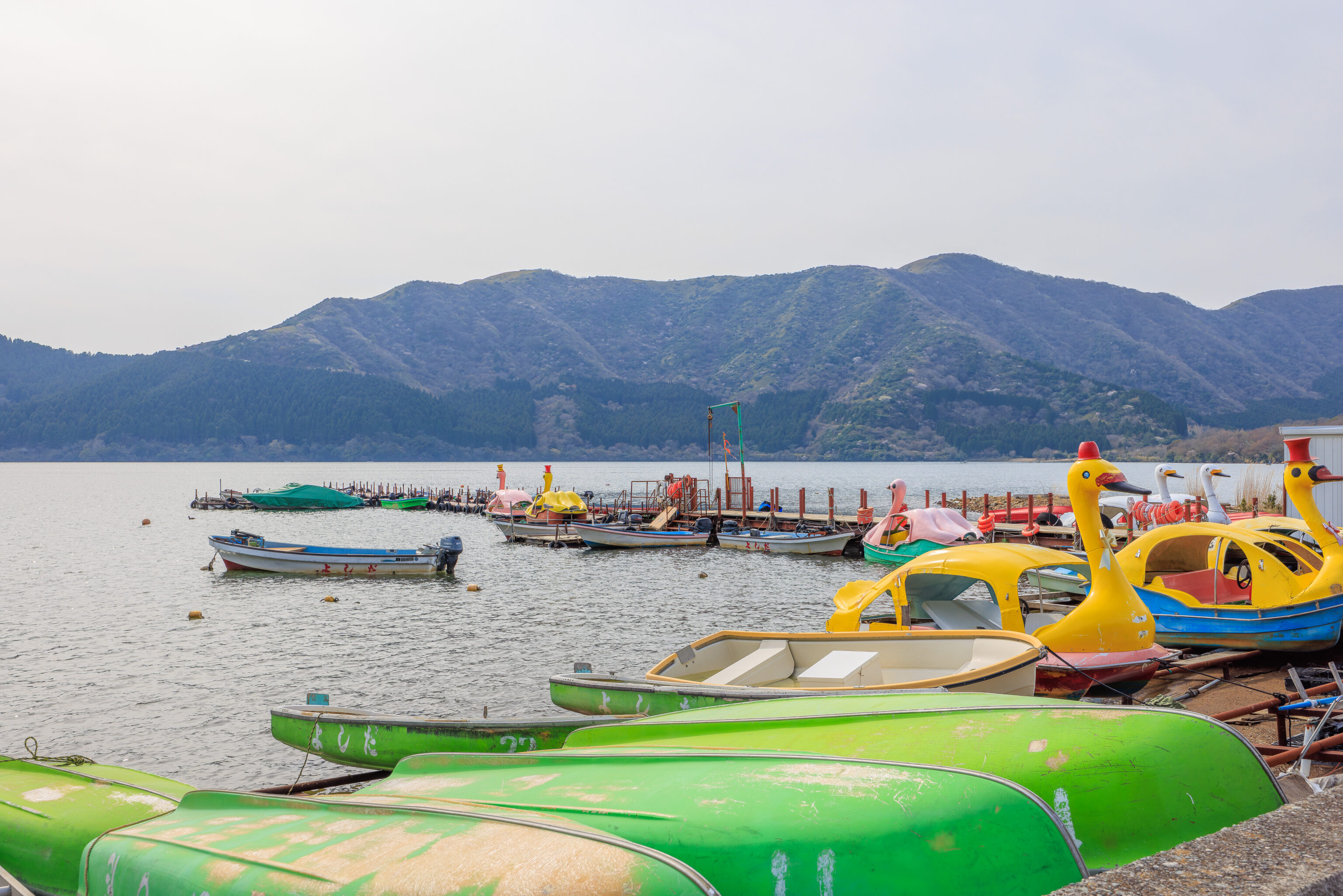
We walked to the lakeside by the bus stop to take a look. There were quite a few tourist boats here but nothing seemed to be operational at the time. Maybe this area is more active during the summer season?
We walked along the road to return to Togendai. From there, we caught a bus headed back to the Miyagino Bridge bus stop in 強羅 Gora. Another option would have been to take the gondola up to Owakudani and back down to 早雲山駅 Sounzan Station, transferring to the funicular to get to Gora, and taking the hotel shuttle back to the Indigo. But, the bus stop at Togendai wasn’t busy at all so we figured the bus would be significantly less crowded compared to the gondola and funicular. We were right. The bus was definitely the way to go once you’ve already seen the scenery along the Hakone Ropeway route!
Gora
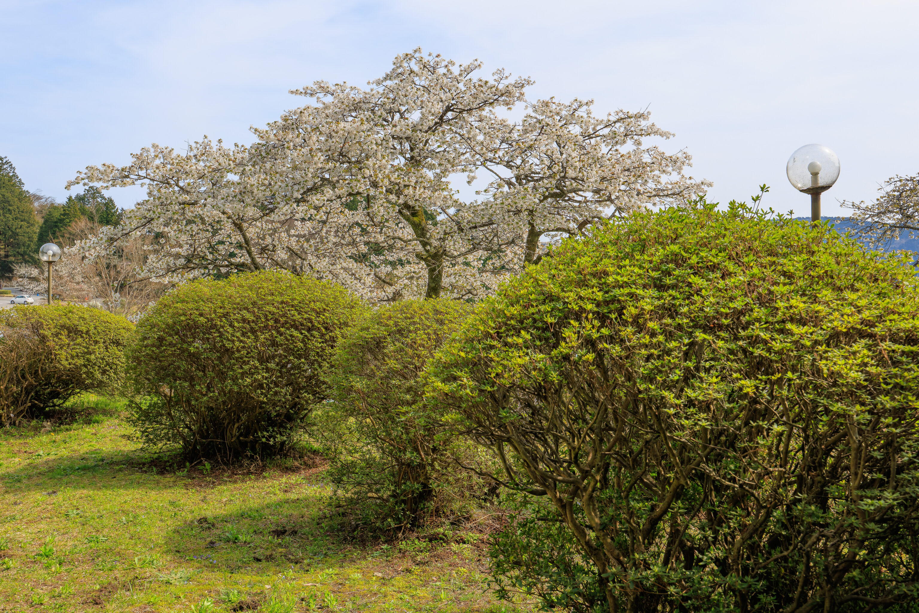
Earlier this morning, while on the bus to Togendai, we passed by a line of cherry blossoms along the road. We figured it might be worthwhile to visit.
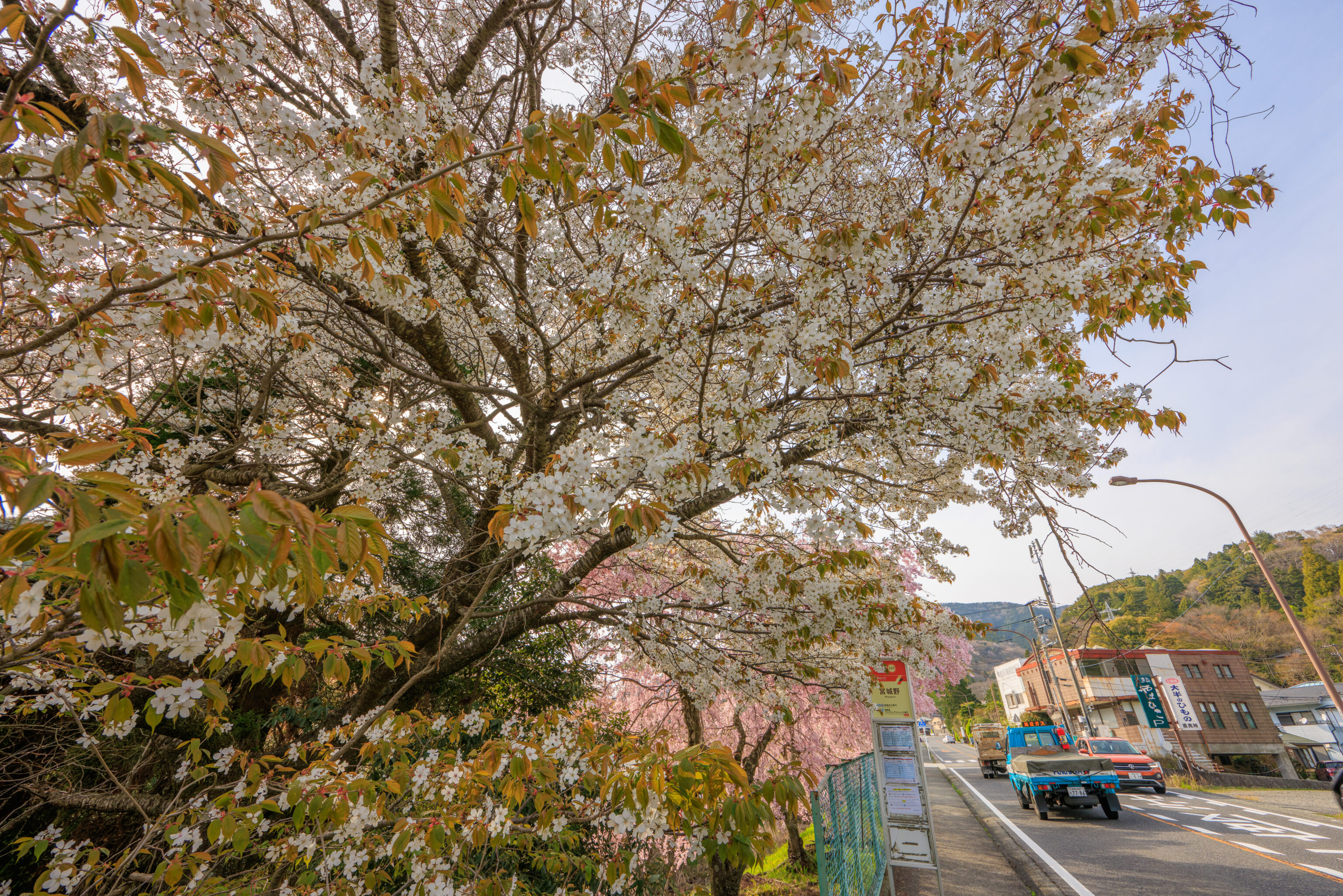
We made a quick, last second decision to get off the bus at 宮城野 Miyagino at the line of cherry blossoms. We then crossed the street to walk by the trees. This first tree held quite a few flowers but also had many leaves.
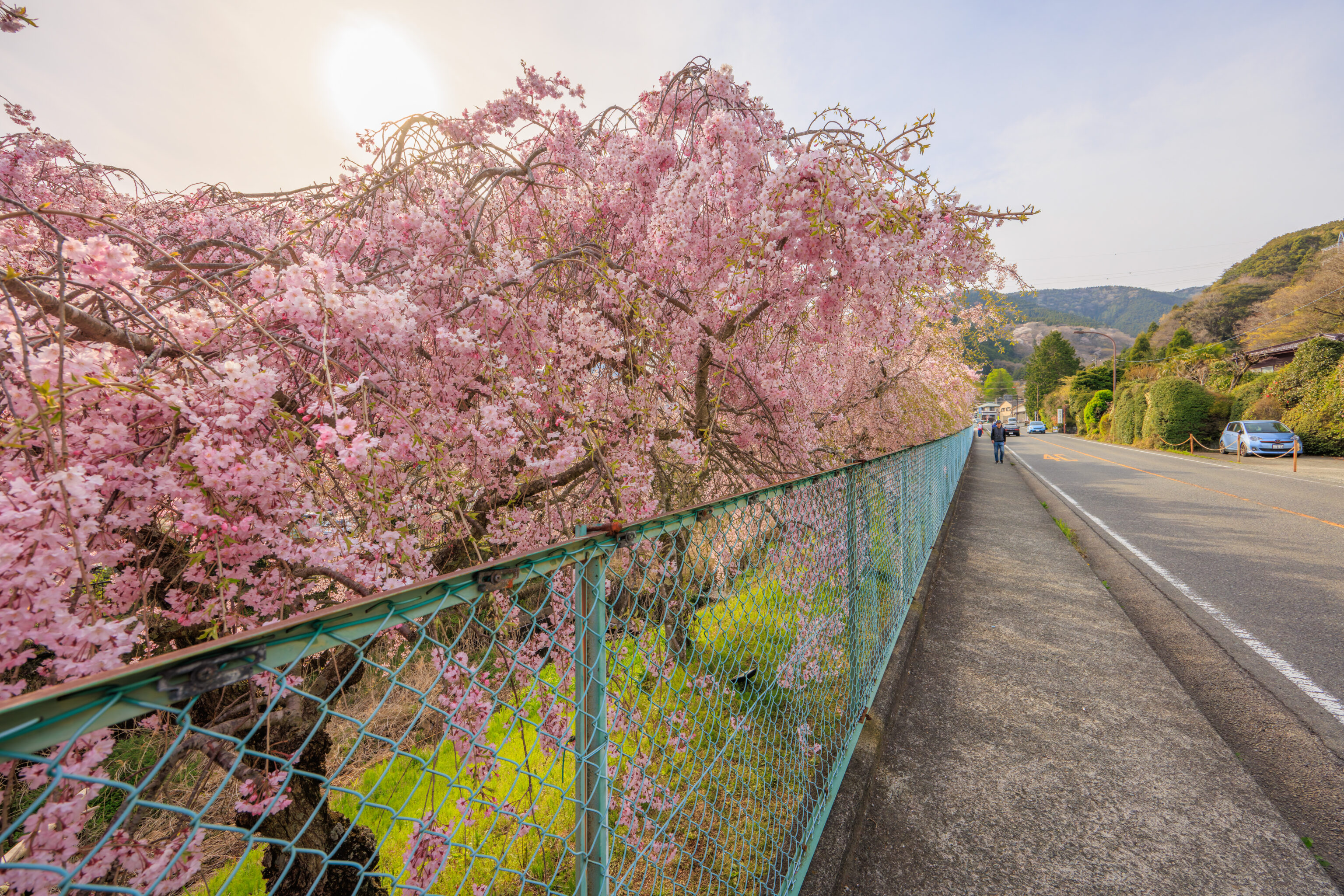
Like all our cherry blossom experiences on this trip, we were a little bit late. However, it was still quite beautiful.
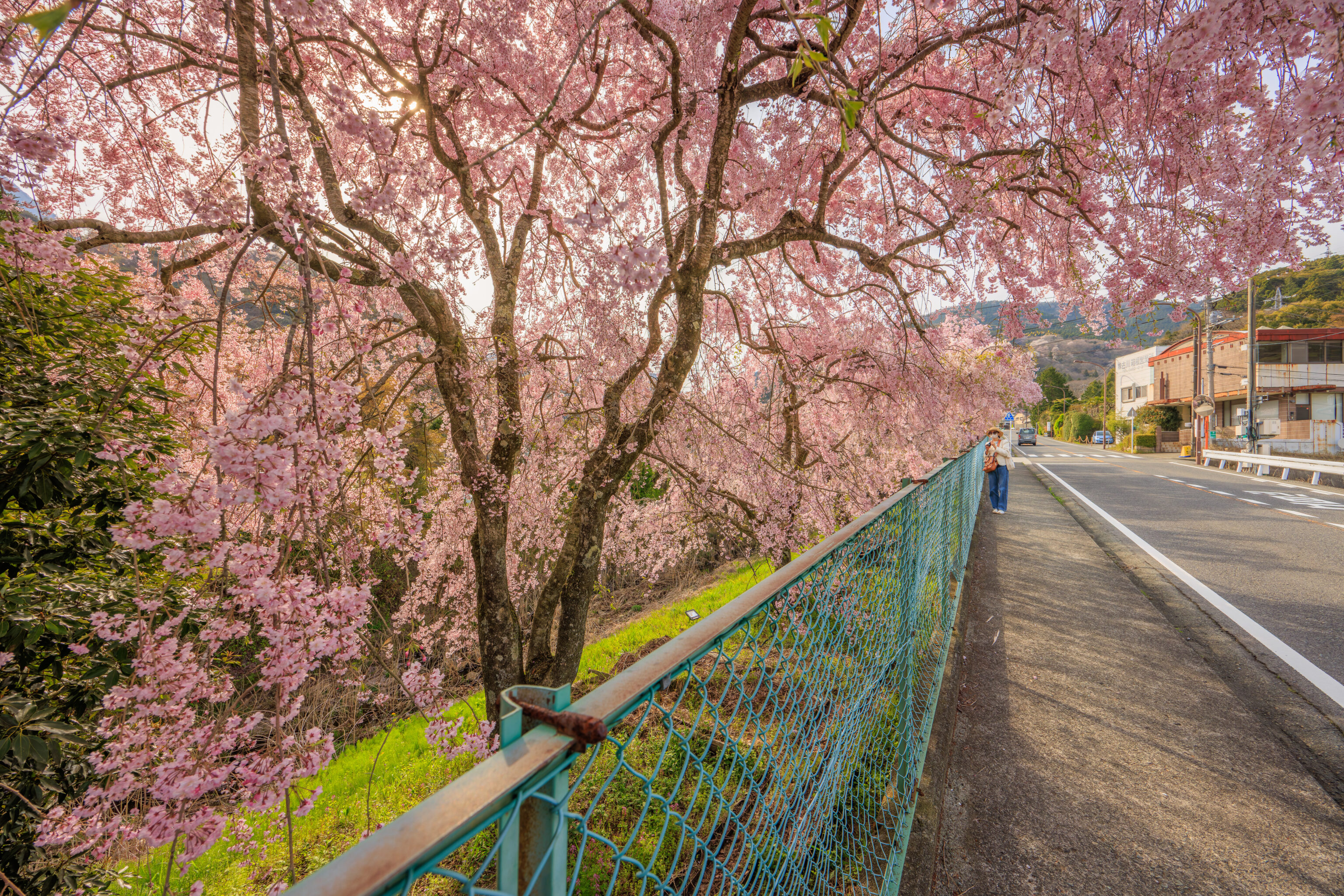
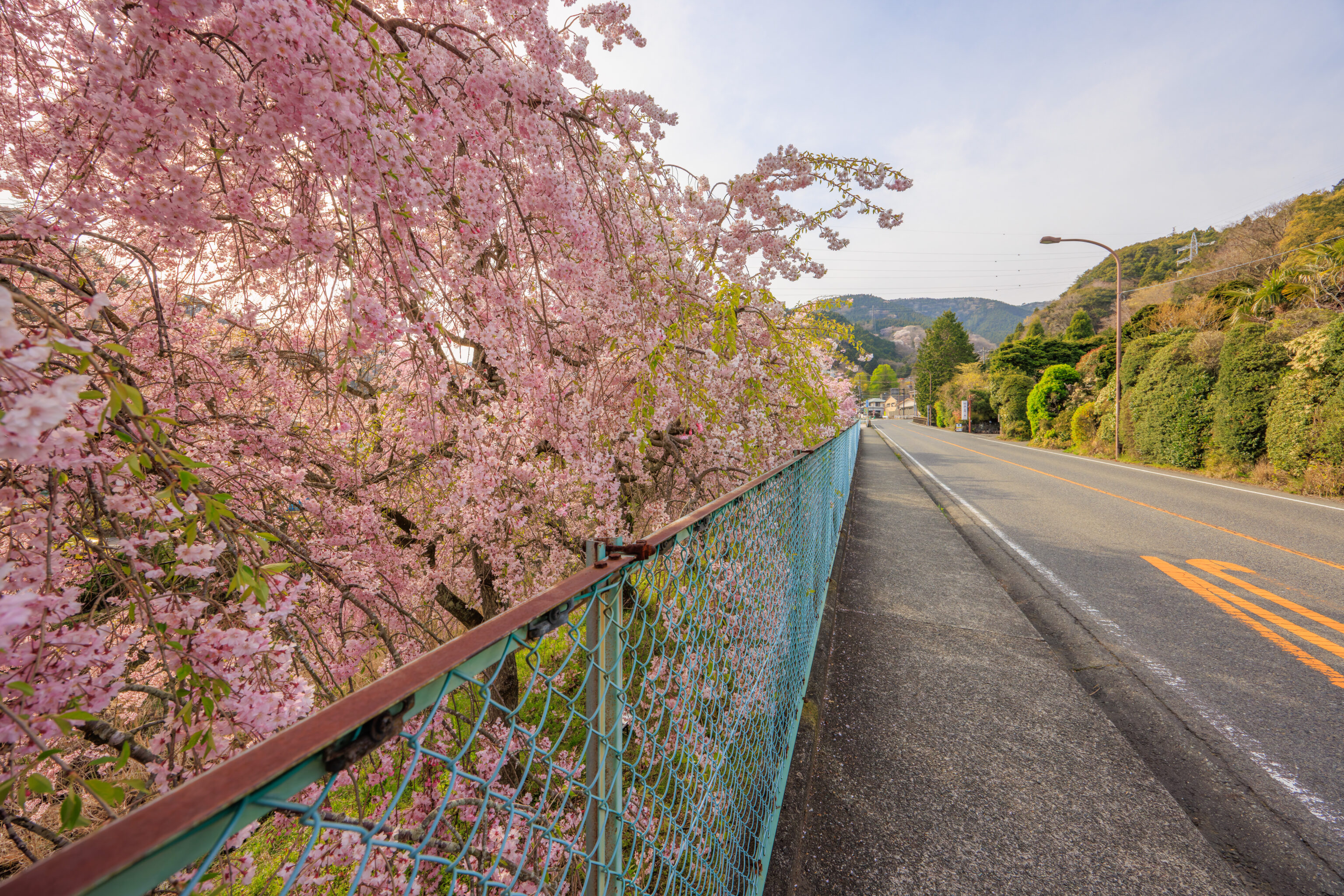
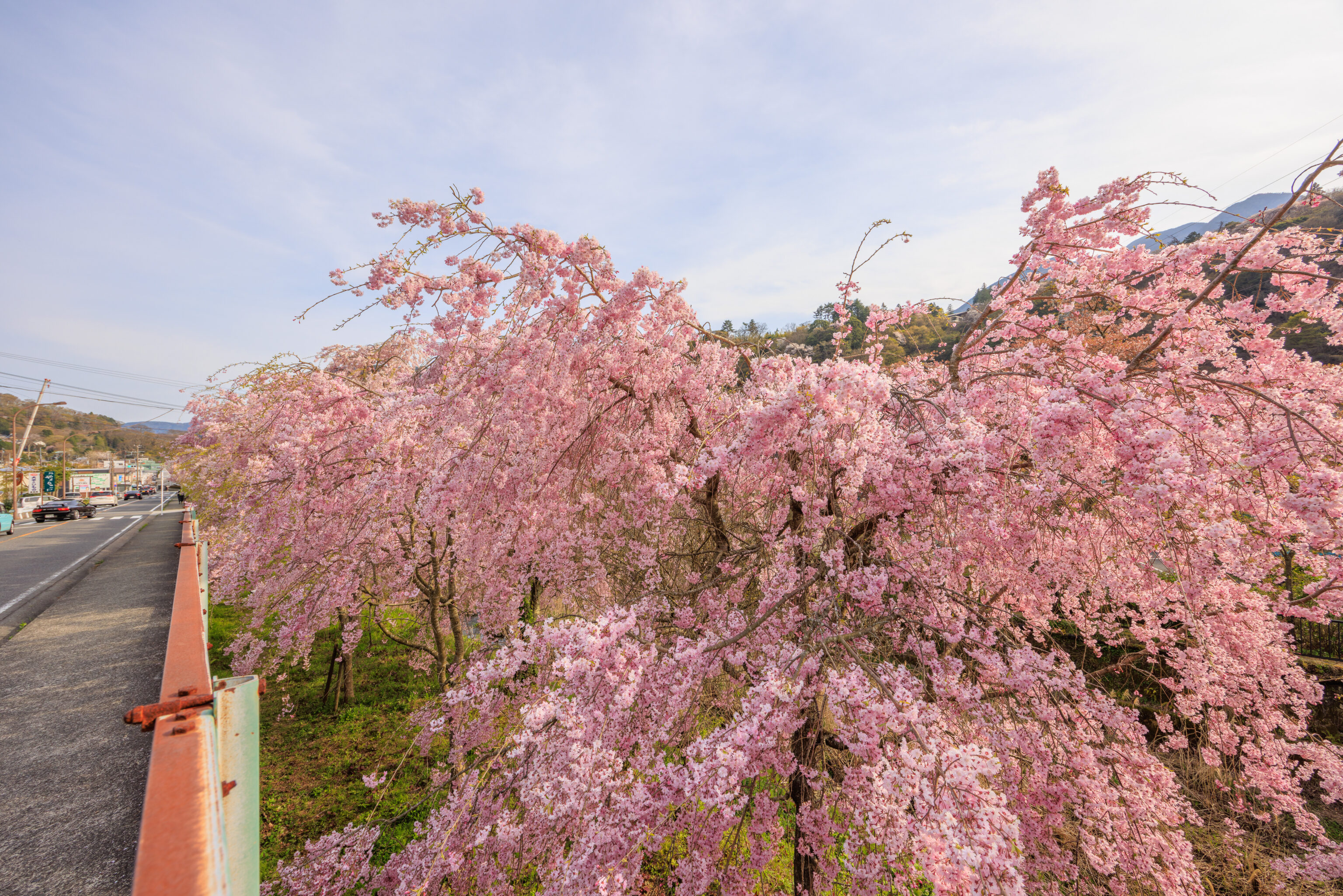
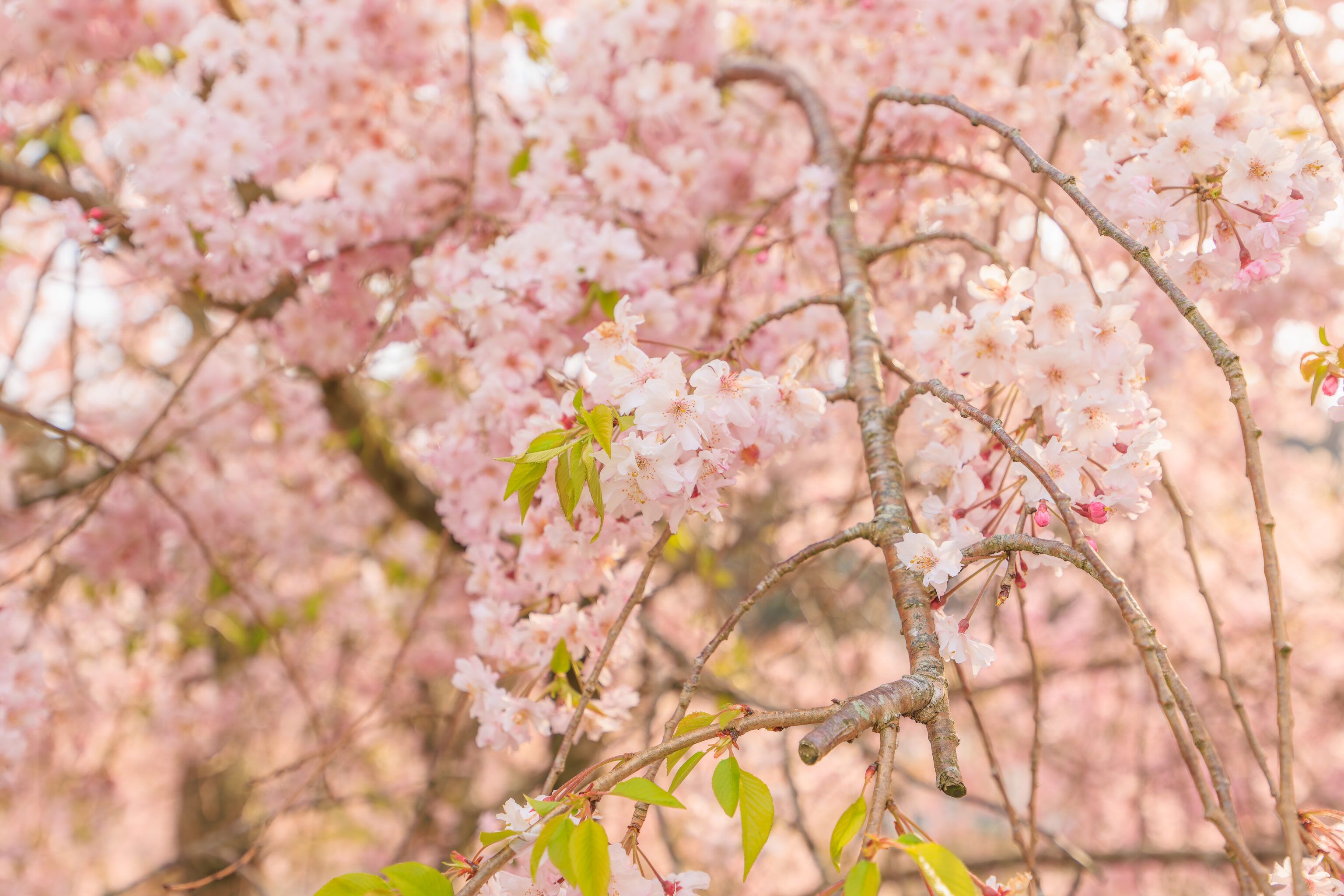
The cherry blossoms are below grade, on a slope between the road and a small river below. The entire line of trees is no more than 150 meters long. This was the view looking down the line of trees from the northernmost point, were the trees started to thin out.
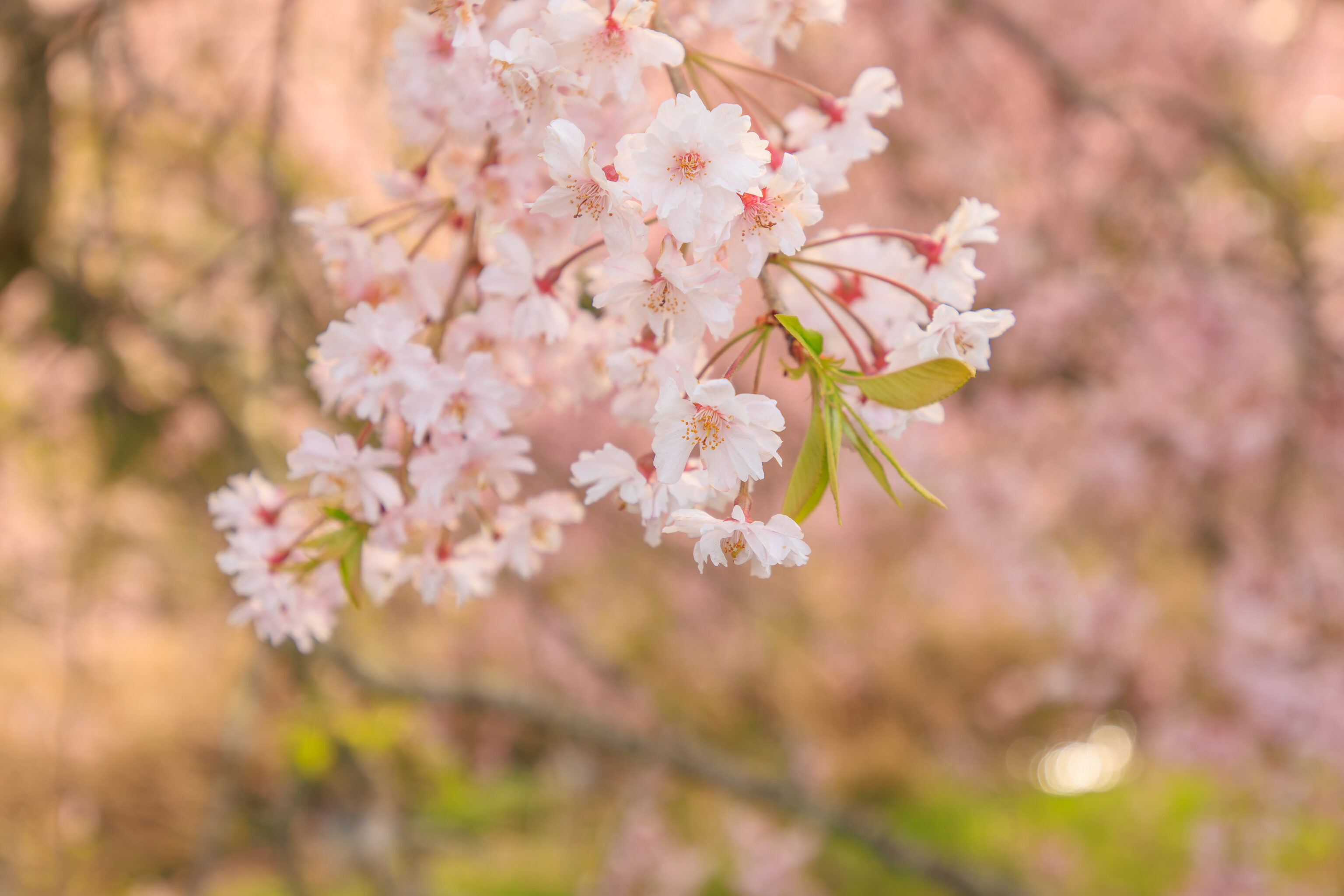
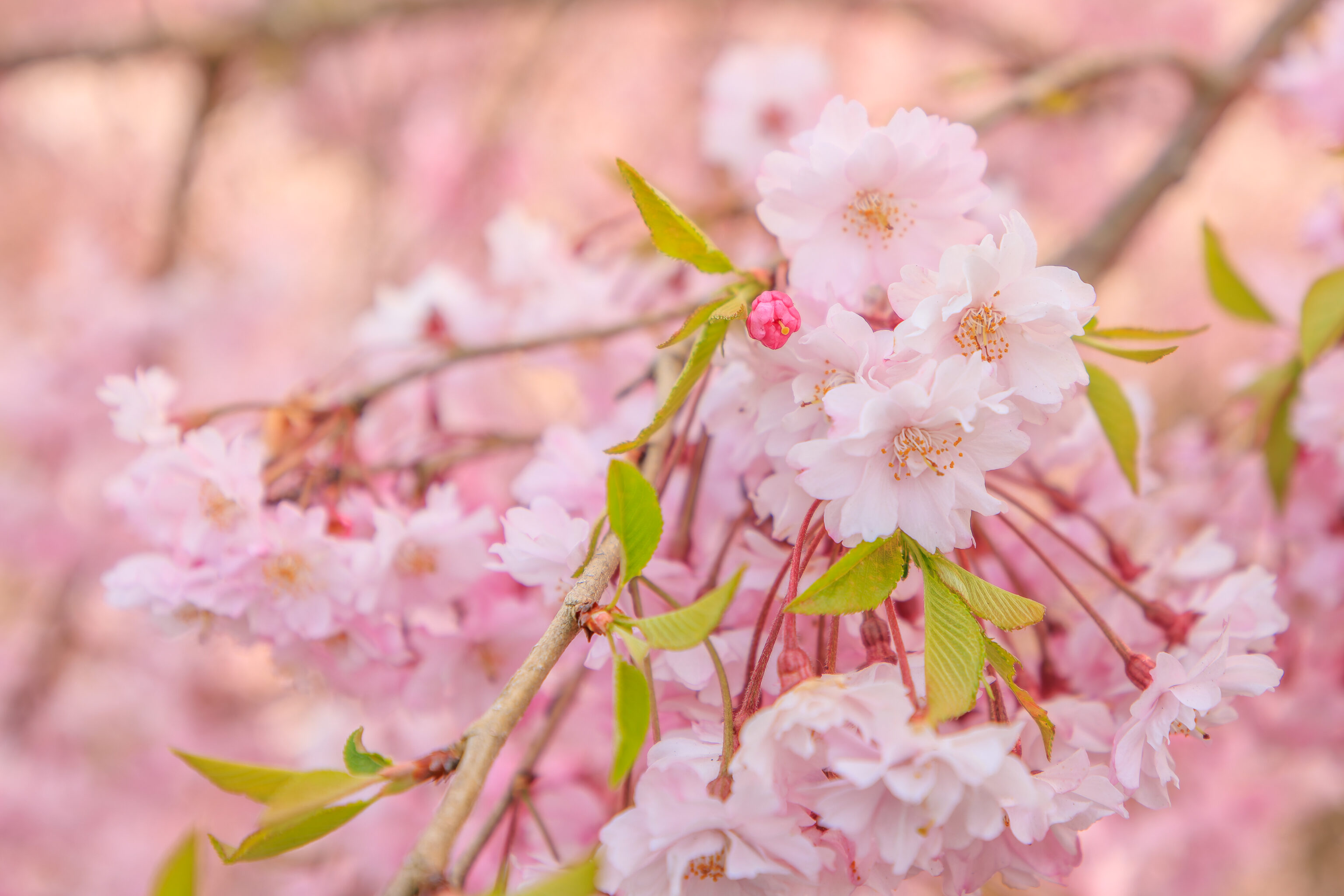
Some closer views of the cherry blossoms.
We crossed the river, with its flow currently just a trickle, via a small vehicular bridge.
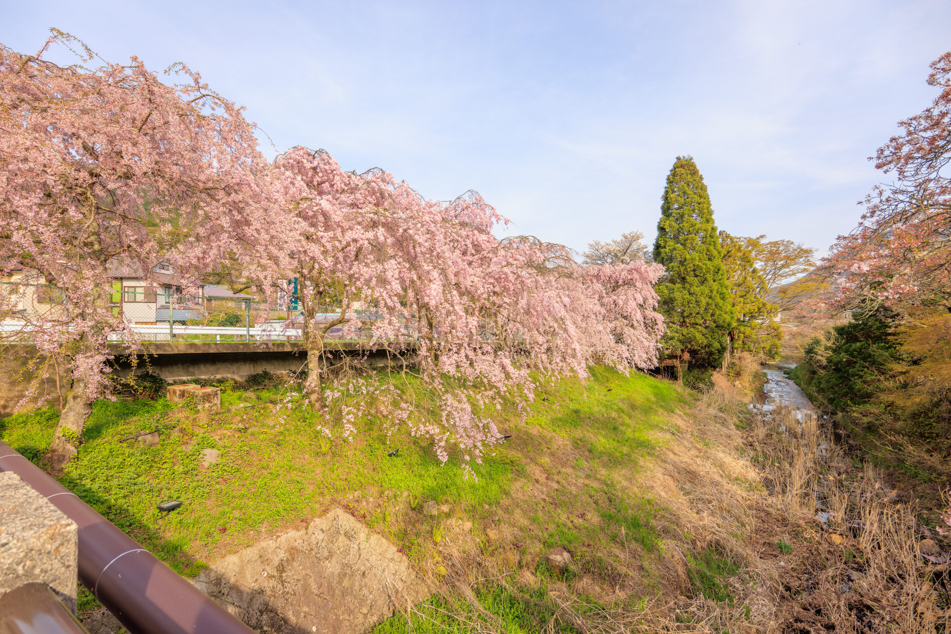
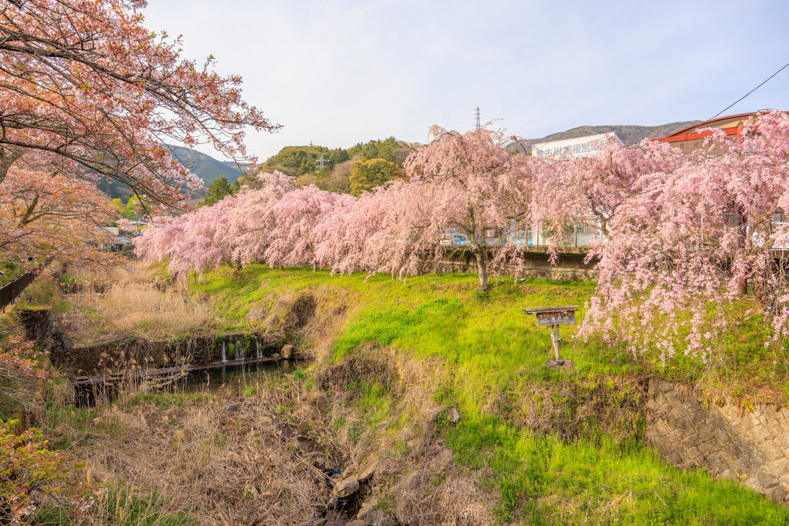
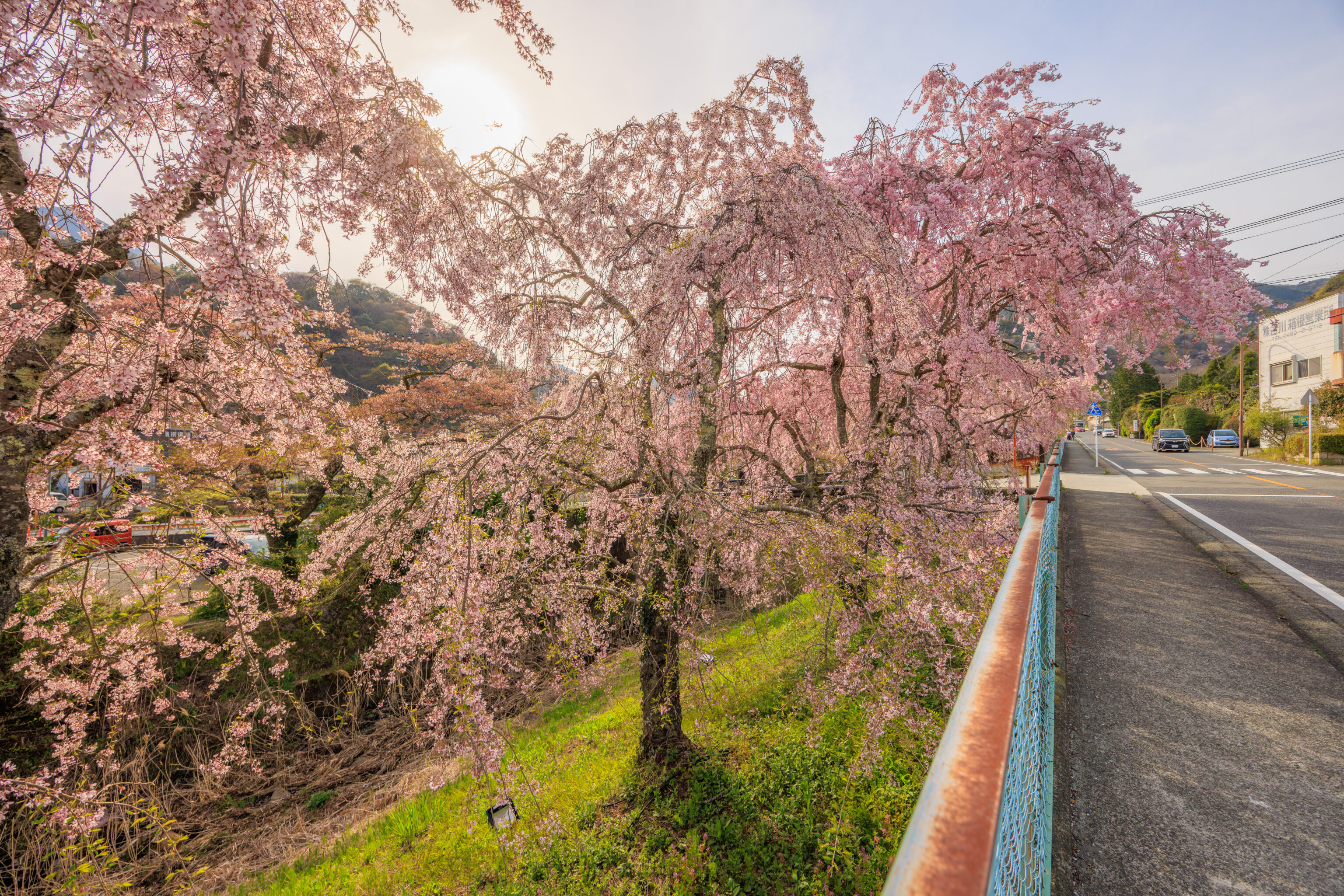
It is a bit of a semi-maintained area. Very different from the well manicured areas where we typically see sakura.
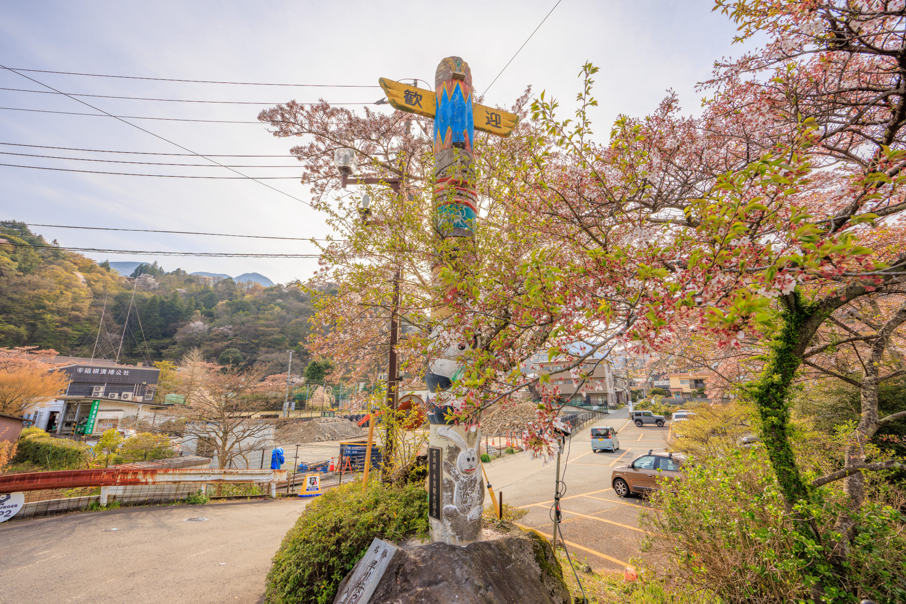
There was a totem pole on the other end of the bridge, which we found a bit surprising. The text at the bottom of the pole reads, “Miyagino/Kiga Tourism Association.” Miyagino is here, on the north side of the Haya River, while 木賀 Kiga seems to be a lightly populated area on the south of the river below Gora. Our hotel, the Indigo, is at the edge of Kiga if Google Maps is correct.
The text on the stone below the totem pole is simply identifying this “Place of Scenic Beauty” as the “Haya River Cherry Blossoms.” The large text at the top is 歓迎, basically saying welcome. None of this explains why there is a totem pole here. Or why it has a panda, which isn’t Japanese at all!
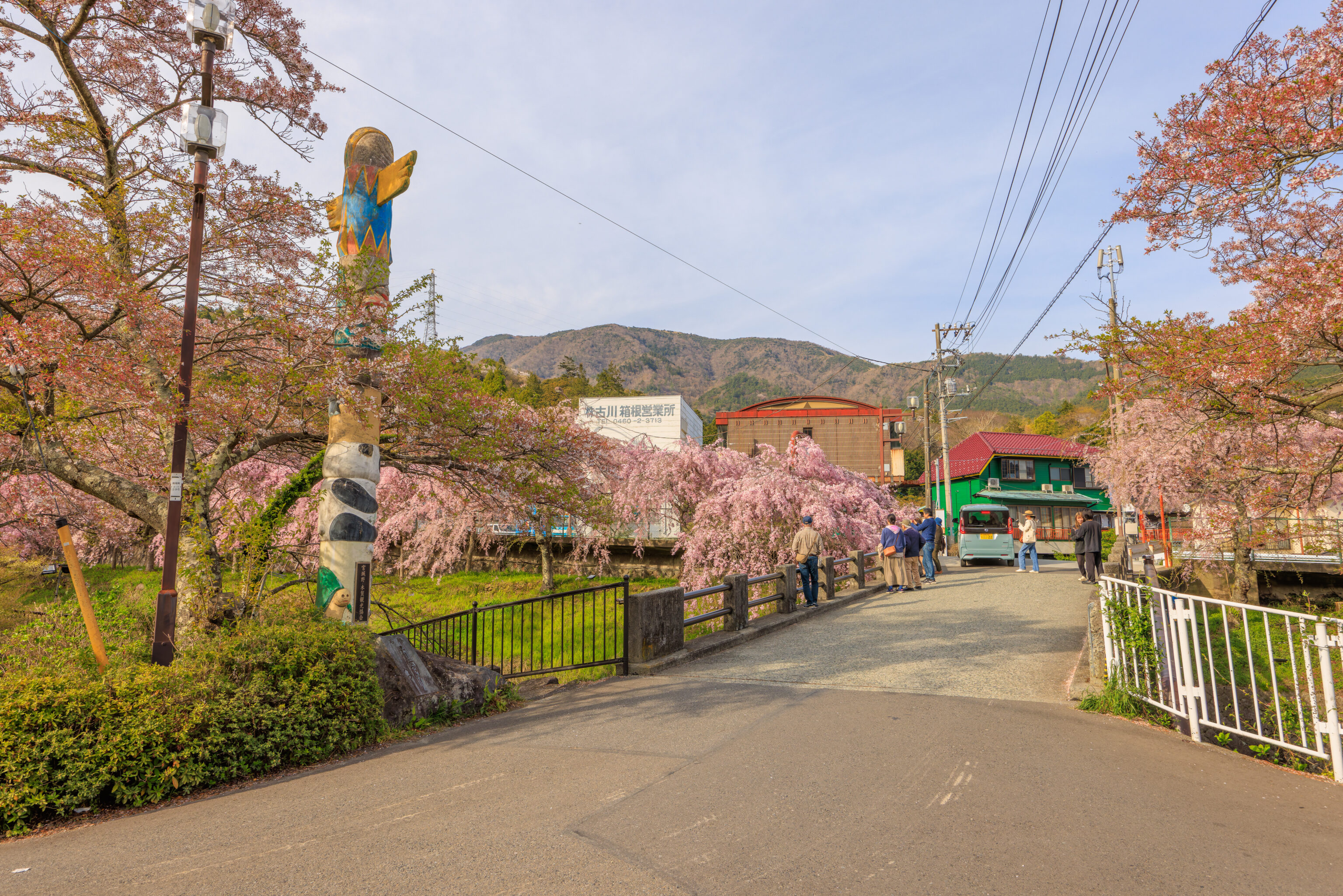
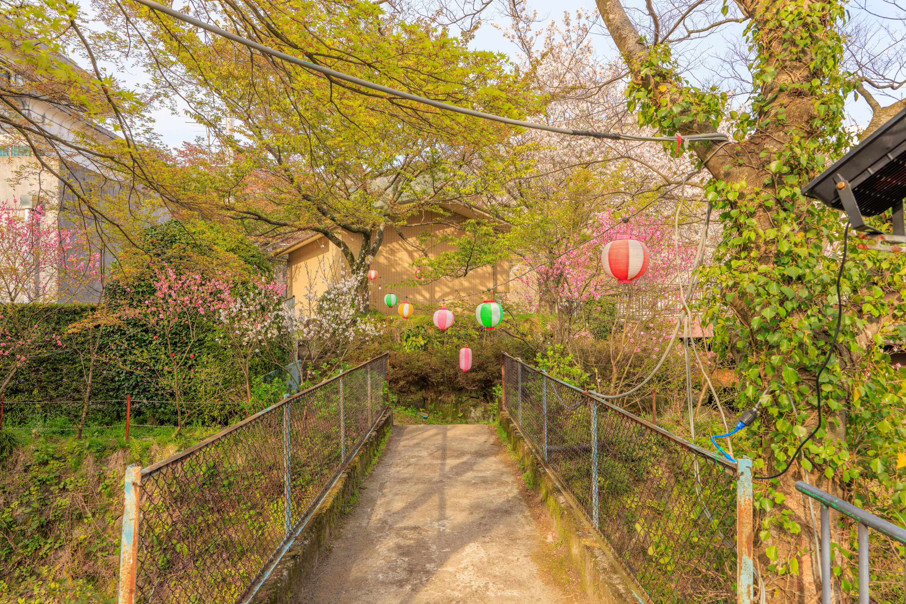
There were a few people enjoying the view from the bridge. The very narrow bridge is actively used by cars.
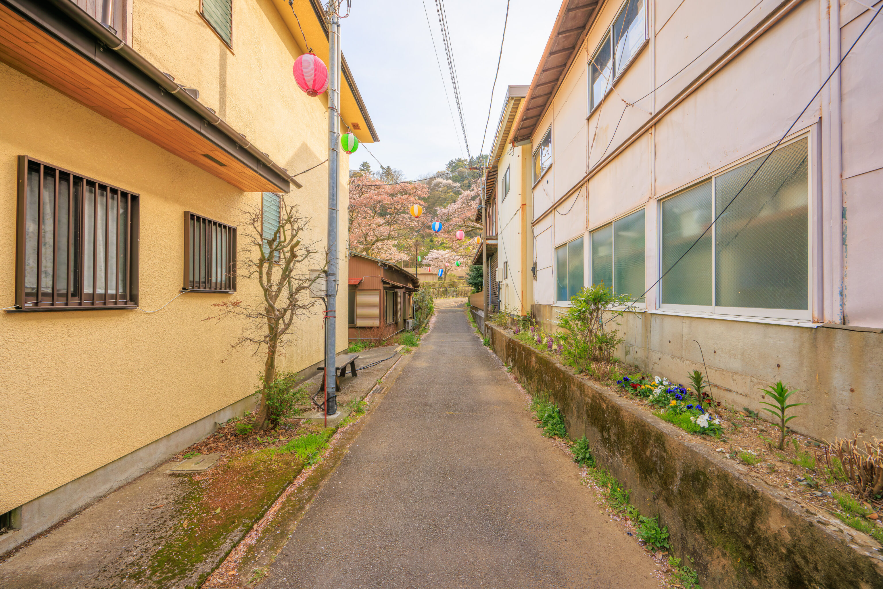
We walked down this narrow lane to reach the Haya River. There were a few colorful lanterns hung above.
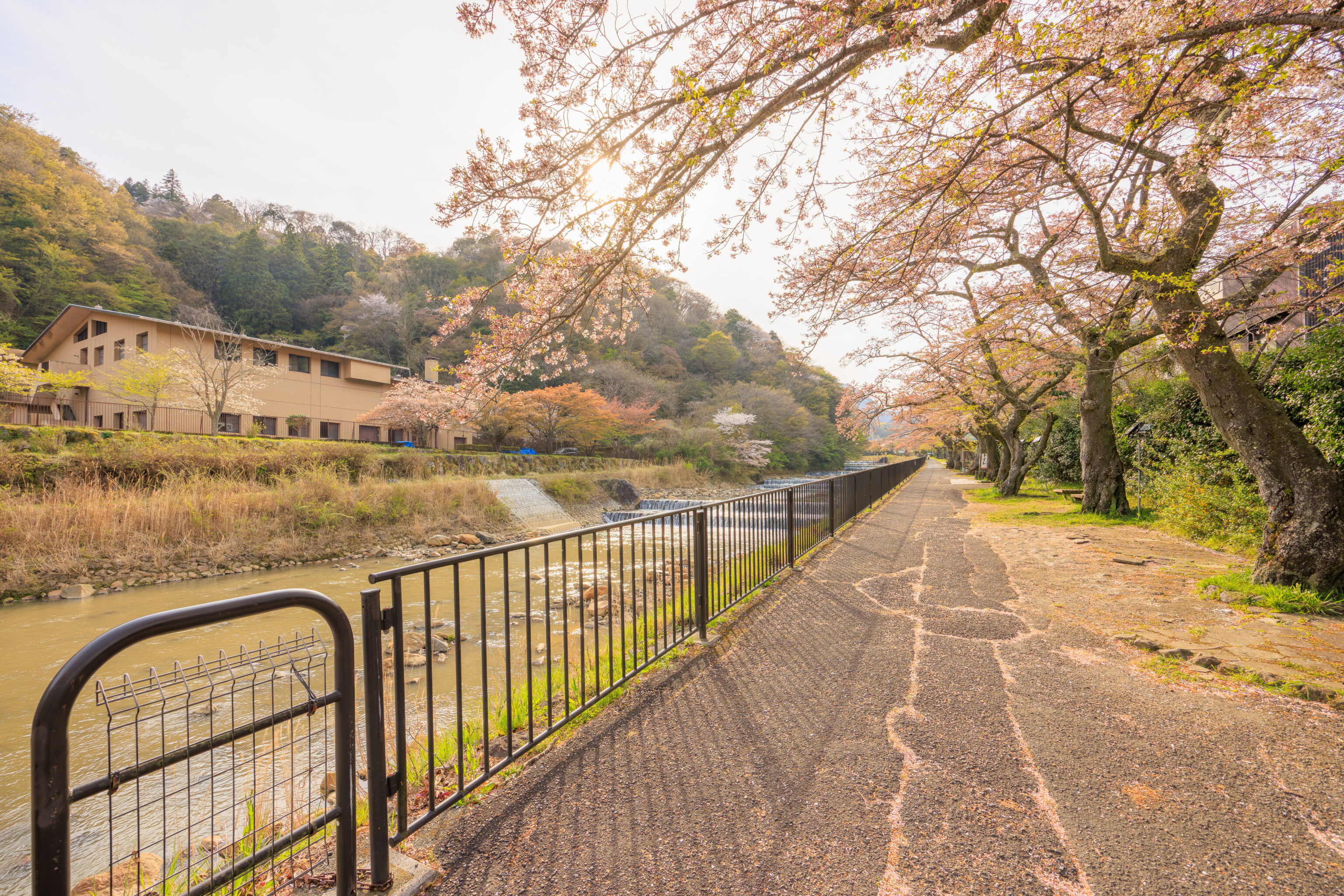
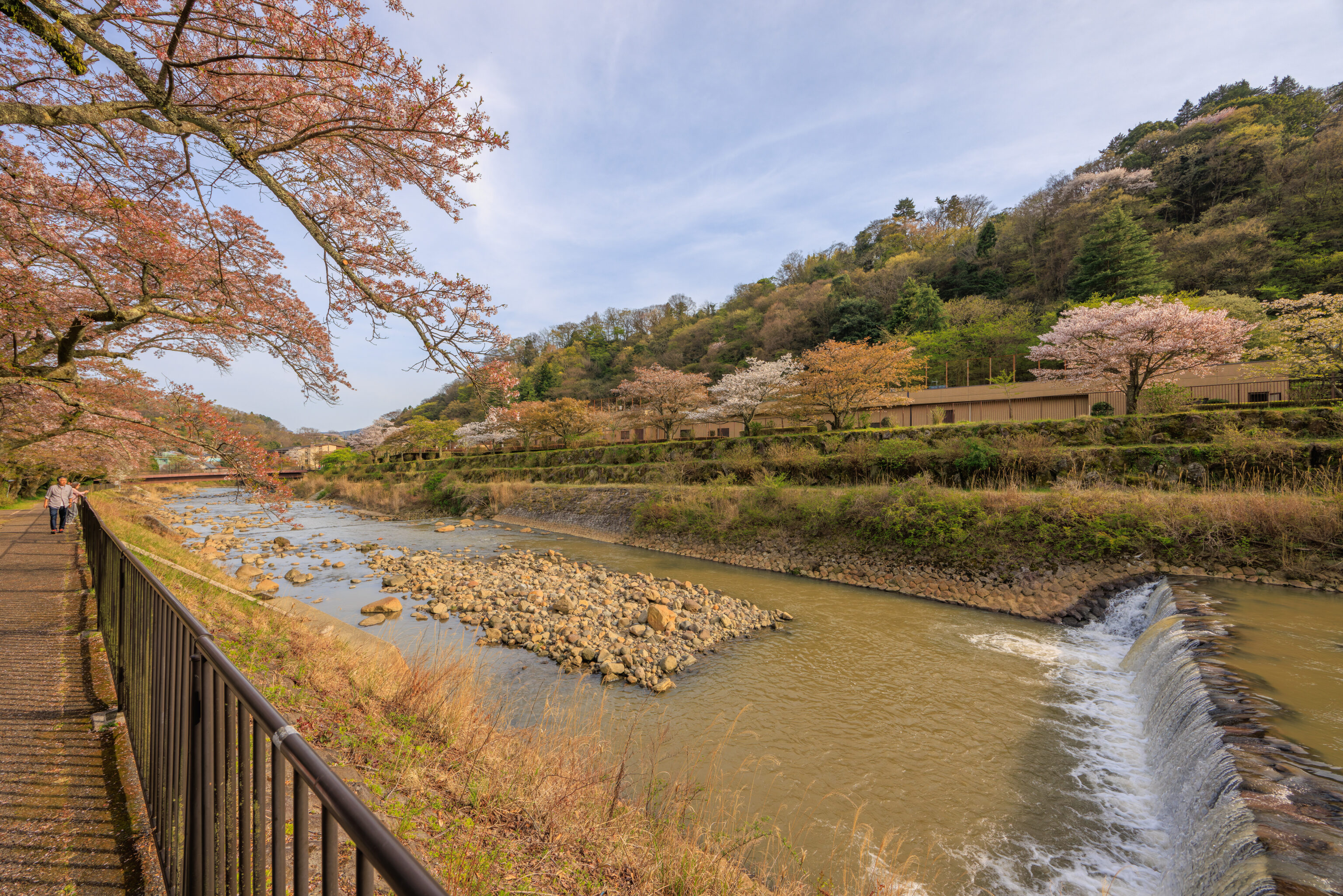
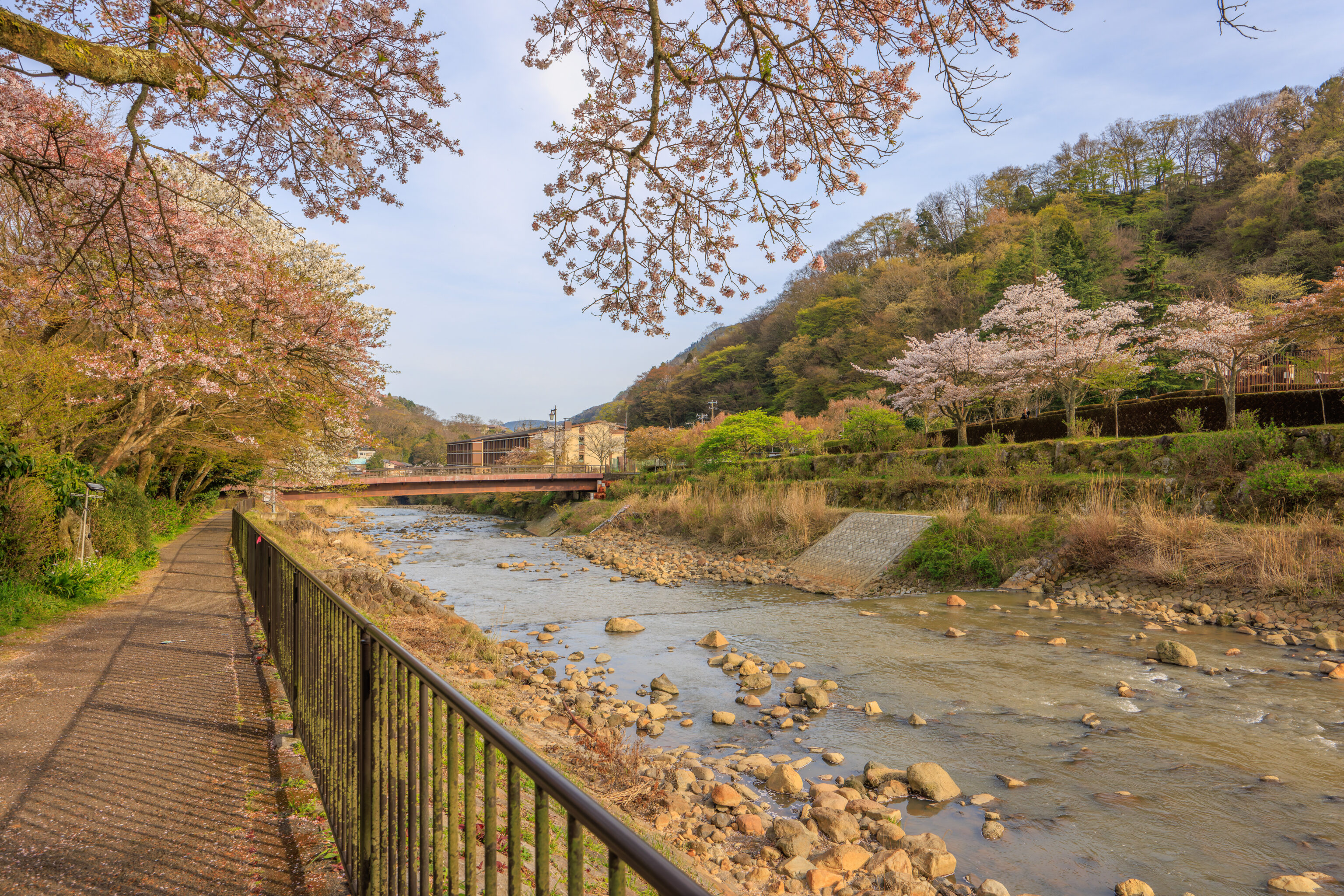
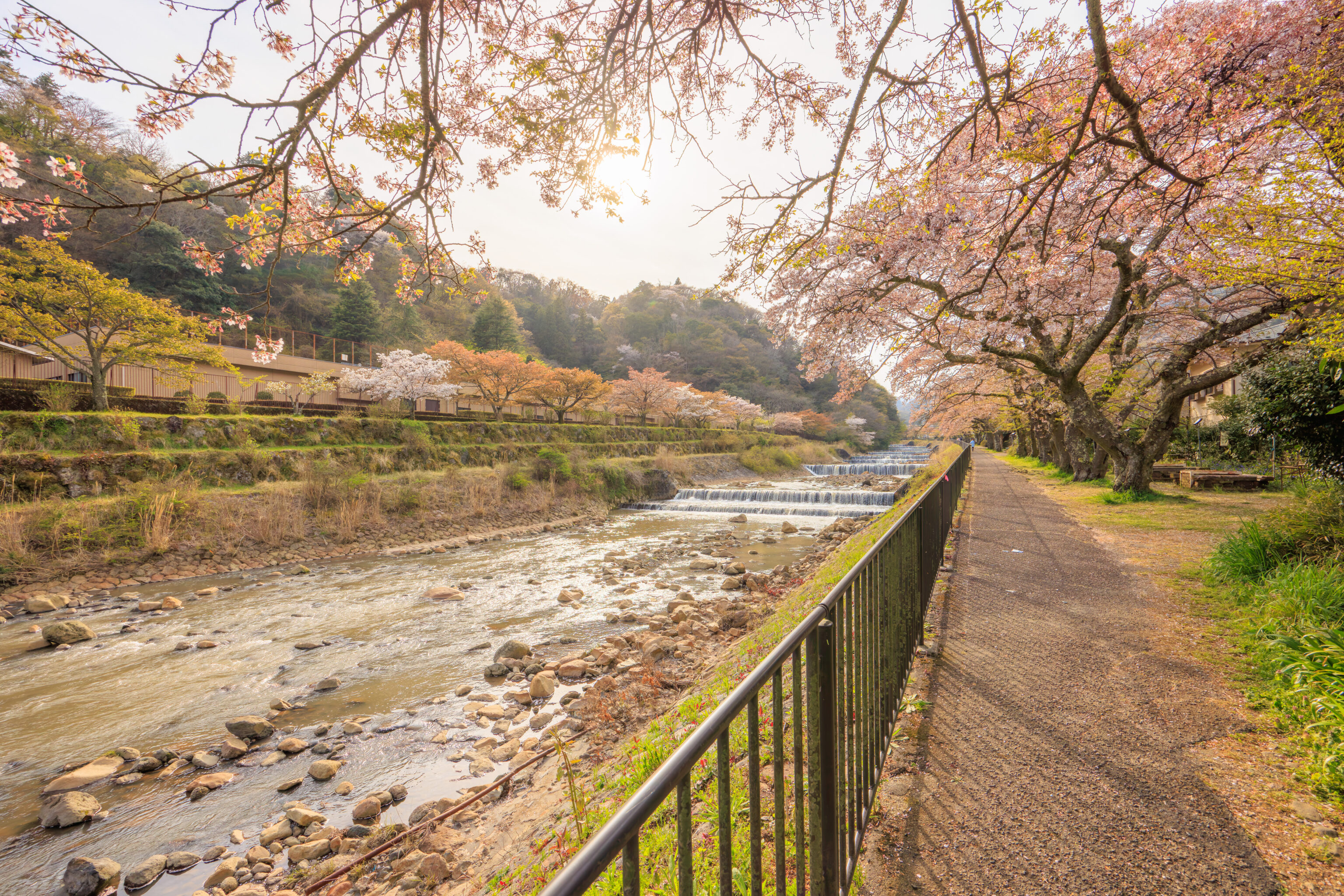
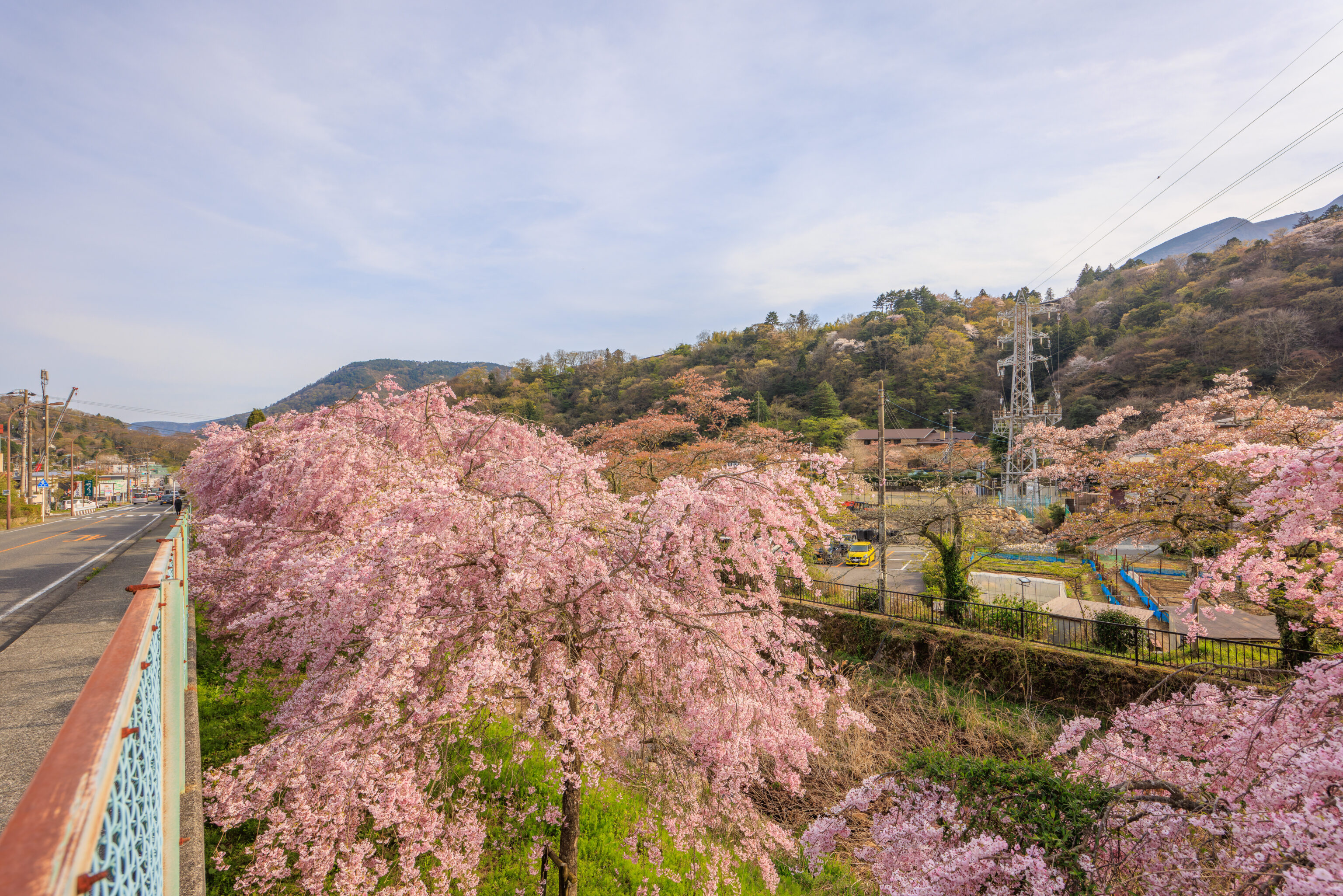
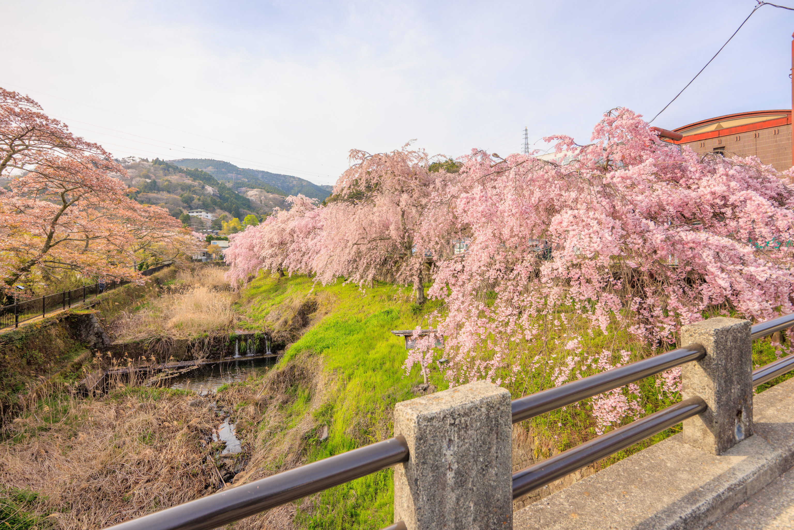
The Haya River is actually lined with cherry blossoms, though unlike the ones we just saw, these were well past peak bloom. This is popular cherry blossom viewing area, with 450 to 600 meters of trees and illumination at night when in season.
We took a narrow path to return to the road just before reaching the 大文字橋 Daimonji Bridge, near the Indigo but on the opposite bank of the river.
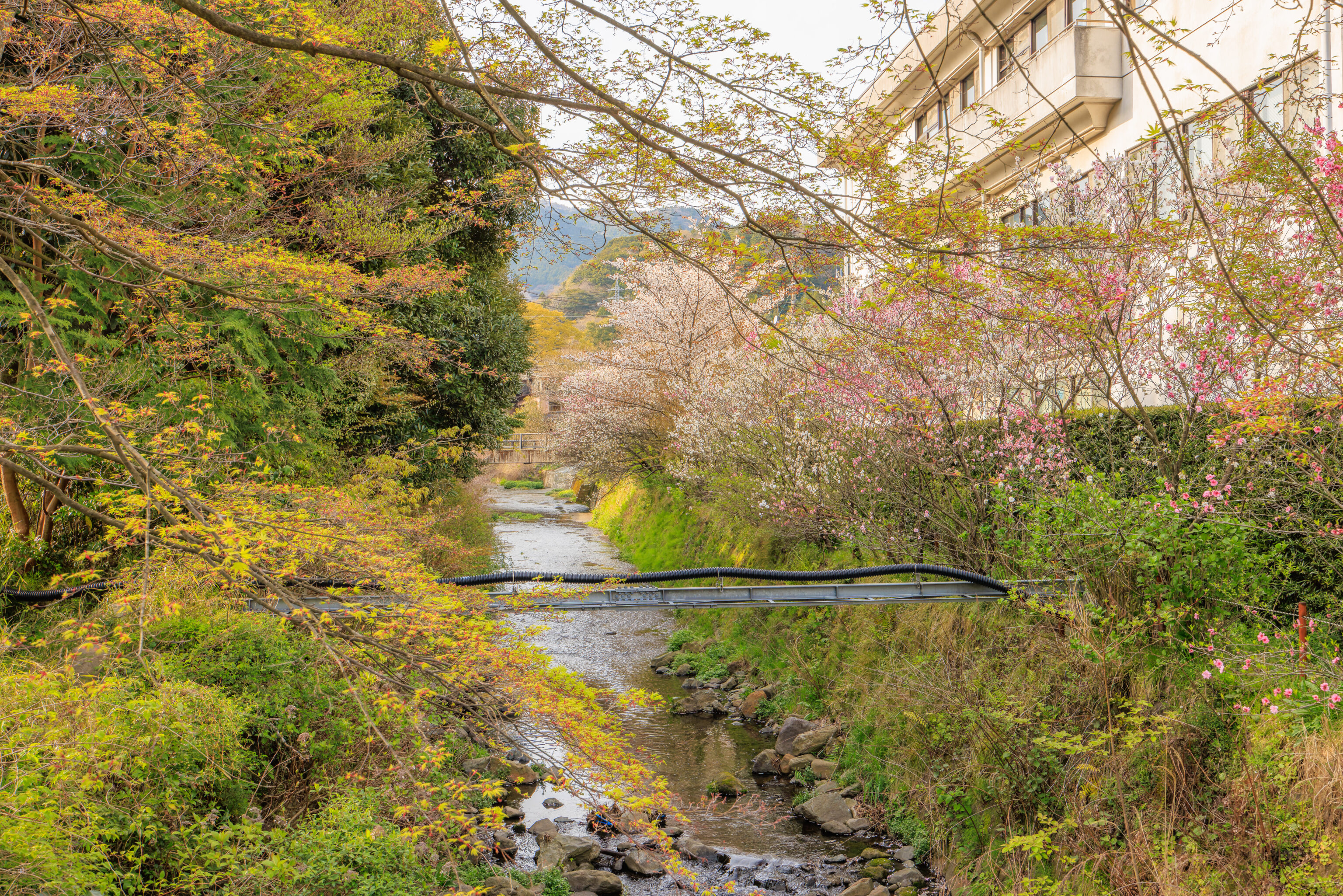
There are many small rivers and streams in this area as it is in a valley. This river is formed by the one that was next to the sakura by the bus stop as well as another small river. It flows into the Haya River just beyond this point by the bridge.
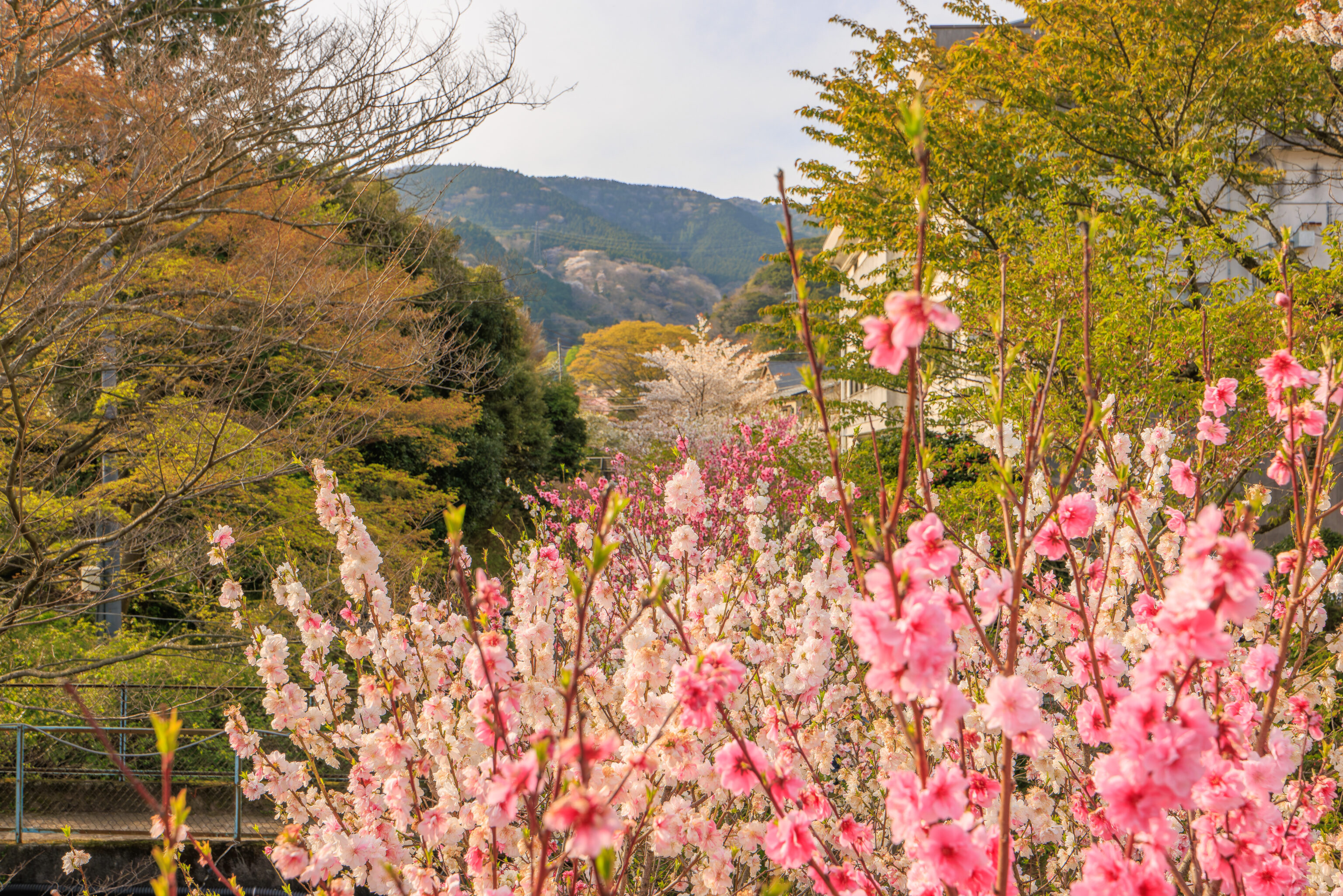
Just a very flowery scene…
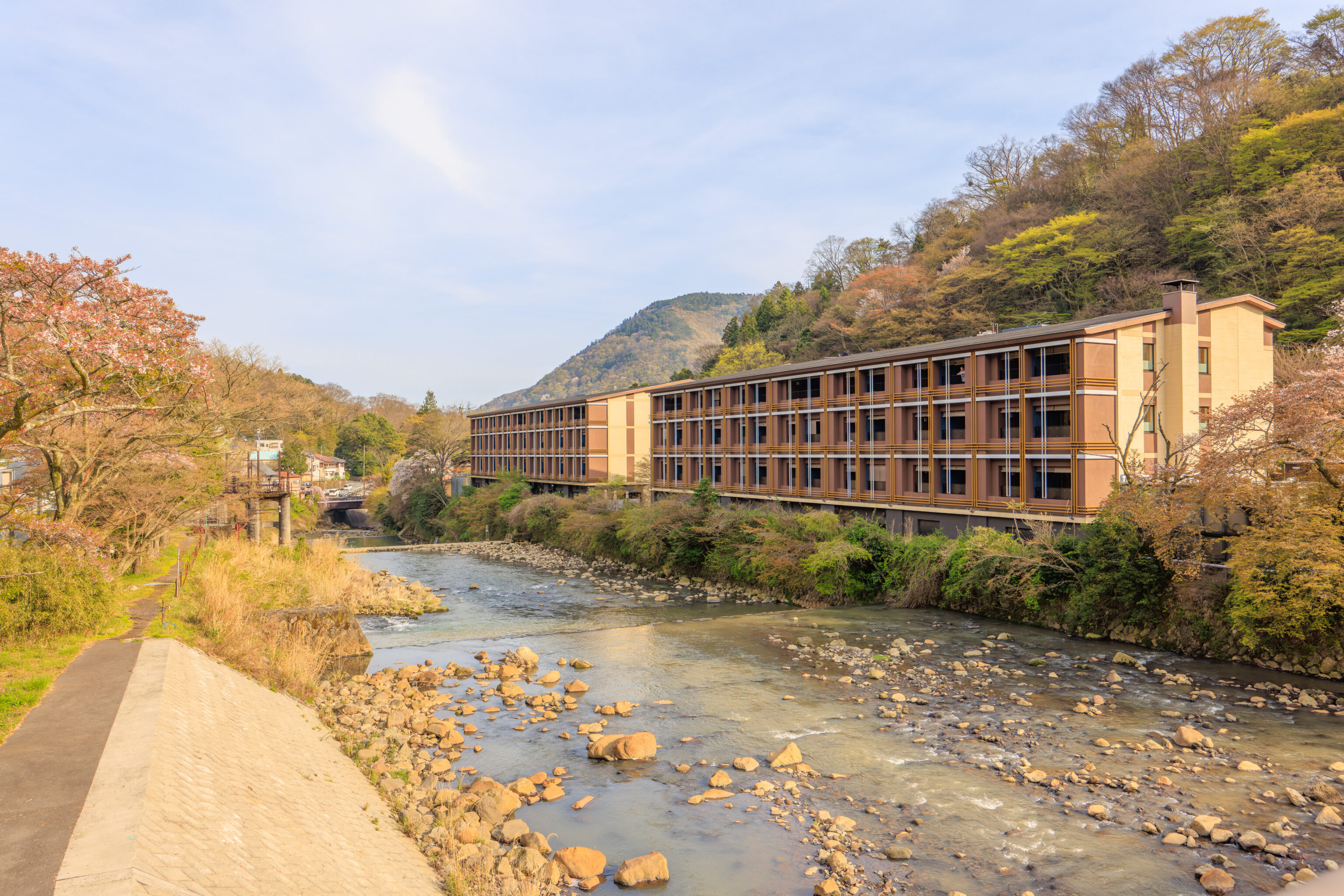
We walked up onto the Daimonji Bridge to take a look. The two buildings that make up the Indigo Gora are just beyond the bridge.
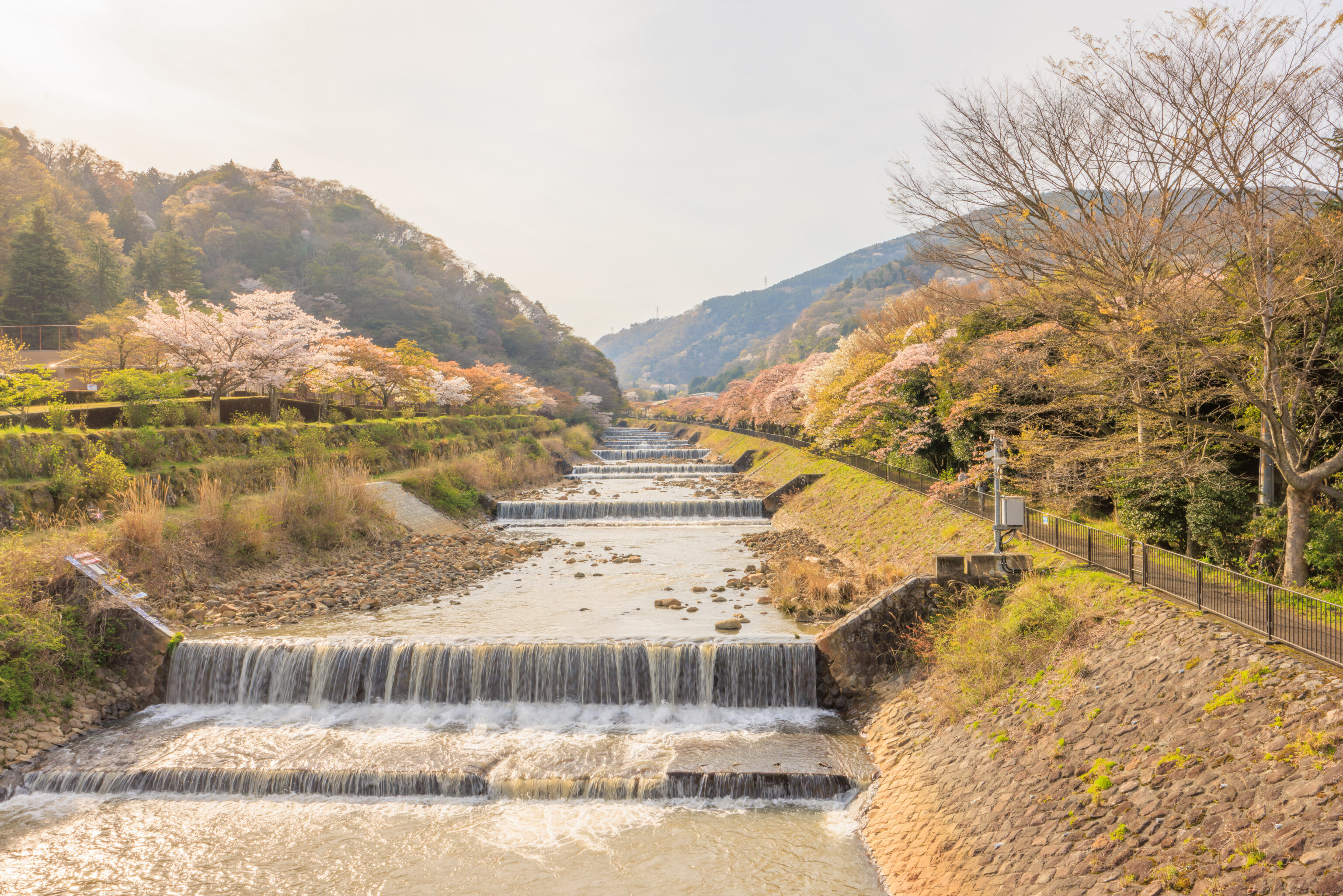
Looking to the west, into the sun, we could see the lines of sakura on the riverbank. This must have been spectacular two weeks or so ago!
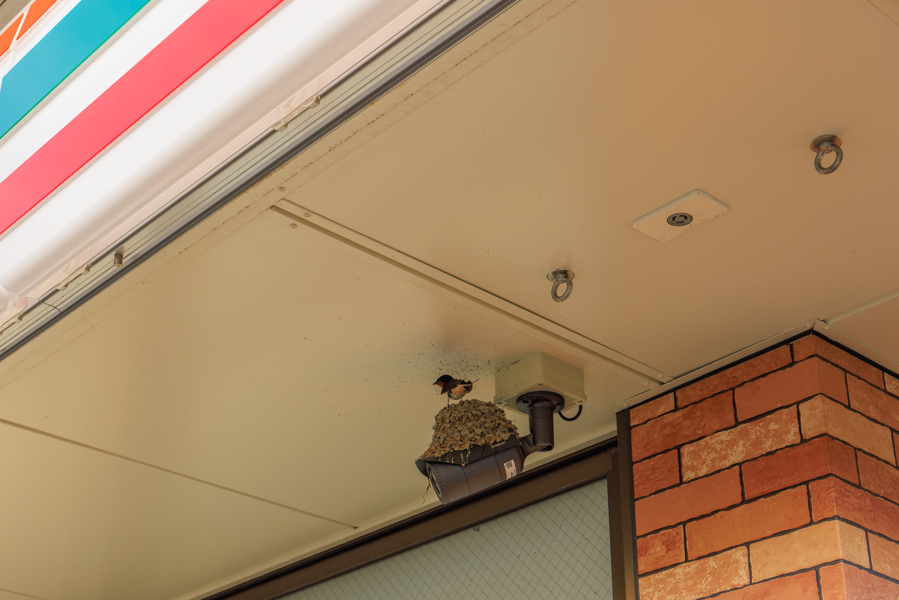
We walked to the nearby Miyagino 7-Eleven to buy some snacks as we mostly hadn’t eaten all day. We found a Barn Swallow nest on a security camera! We then returned to the Indigo via the Daimonji Bridge.
We encountered a large tour group that was just arriving via their bus. It seemed to be a golf group as they all had golf clubs and other gear!
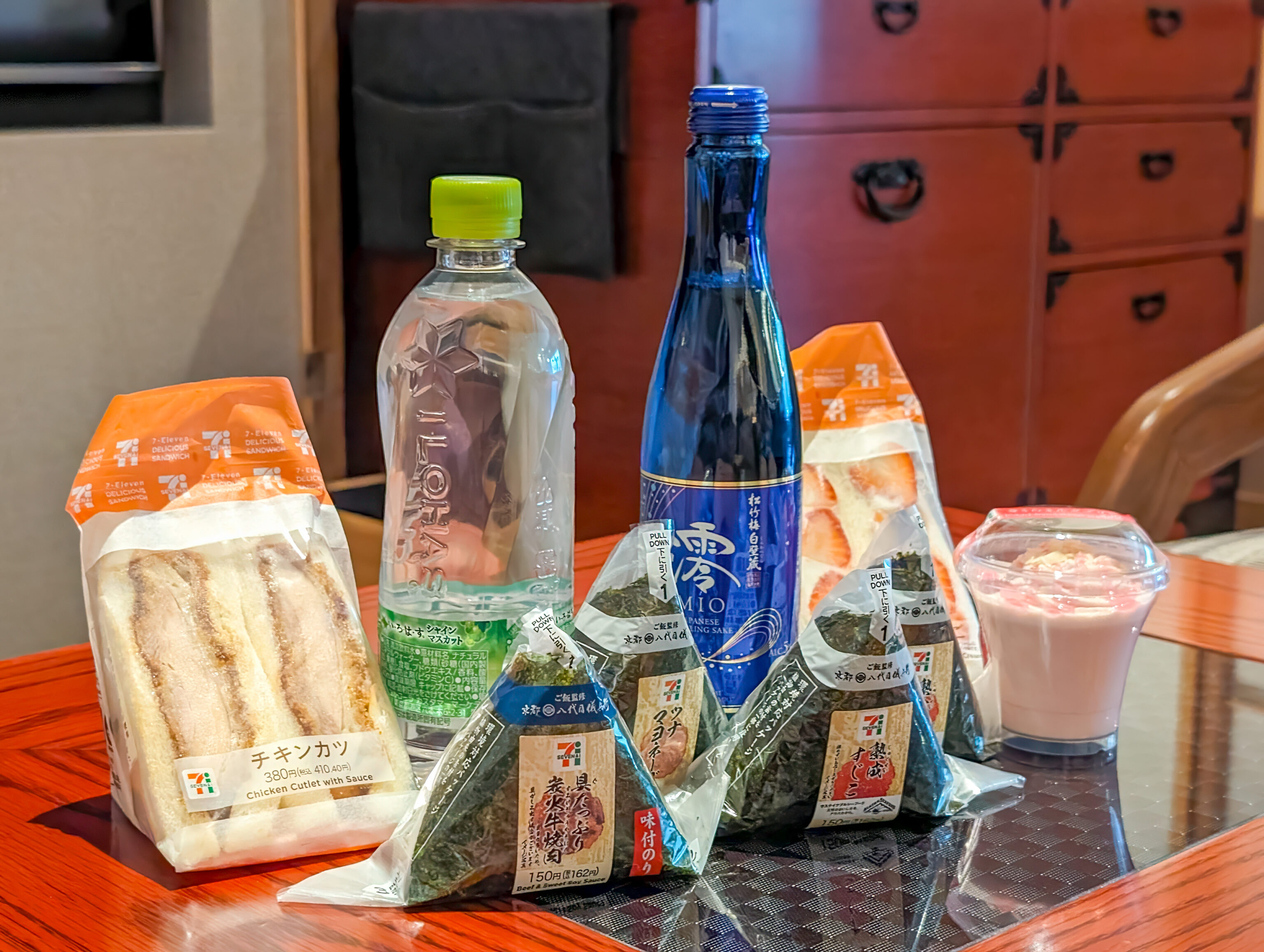
Cheap tourists eating all their meals at 7-Eleven is a thing. Its not something we typically do. But we kind of did today! We brought back four onigiris, including the excellent beef & sweet soy sauce flavor, a pork cutlet sandwich, a strawberry sandwich, and a dessert. And we had to get a Mio Sho Chiku Bai. We were introduced to this product during our trip to Kyoto last year when it was the welcome gift at the Hyatt Place Kyoto! It is cheap and tasty! It is also available in the US but is much more expensive.
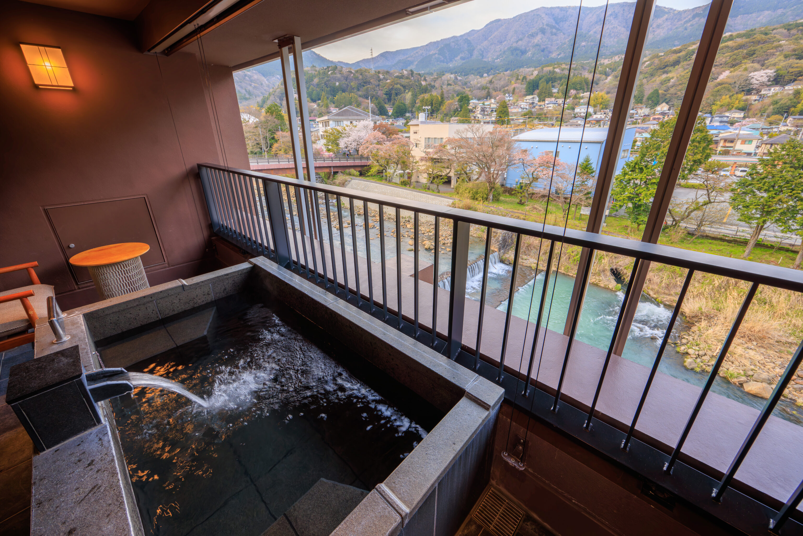
After eating, we started to fill up the in-room onsen. Definitely a fantastic thing to have after a day of tourist activities!
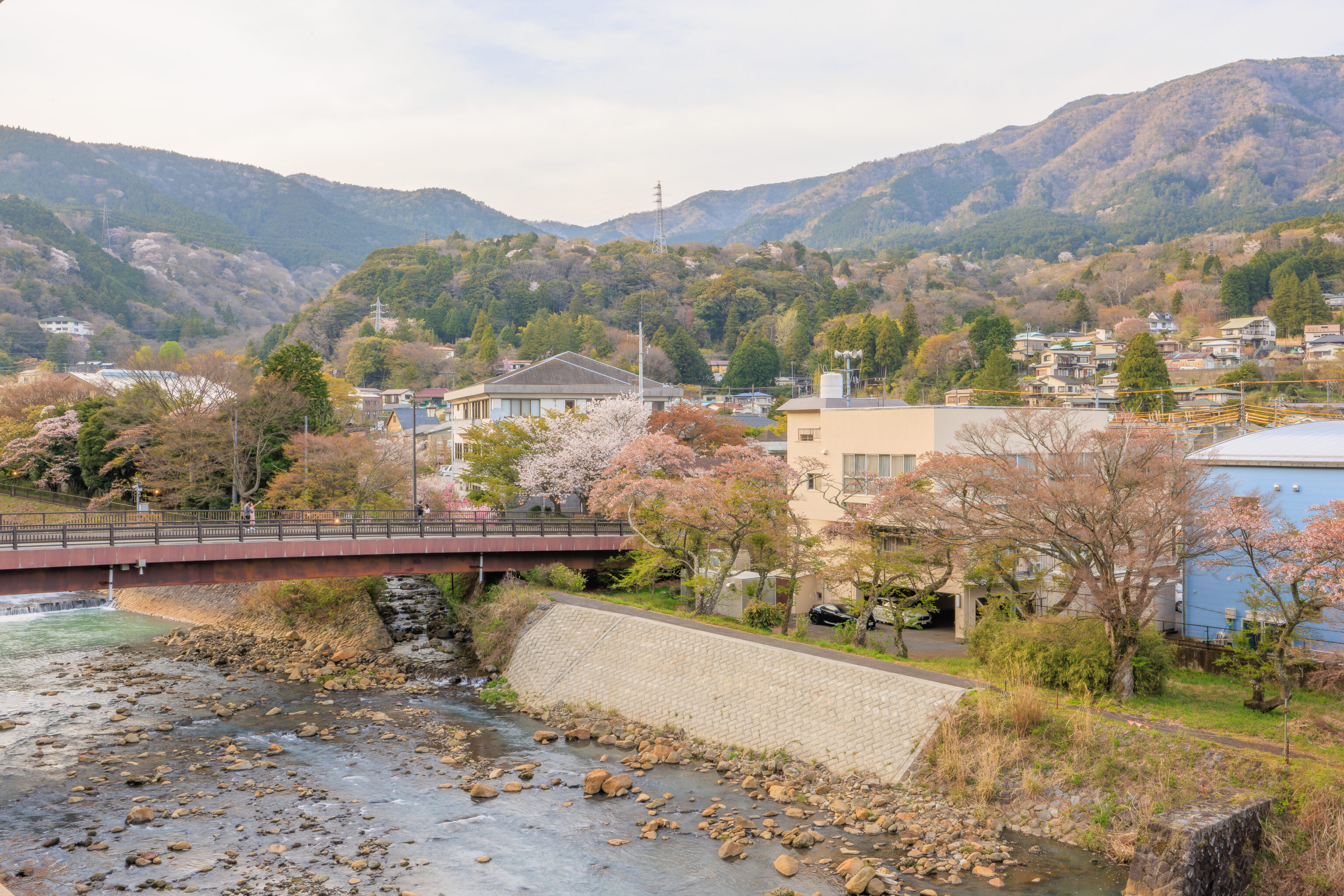
From our balcony, we had a clear view of the Daimonji Bridge, which we just crossed over, as well as where the smaller river we saw flows into the much bigger Haya River.
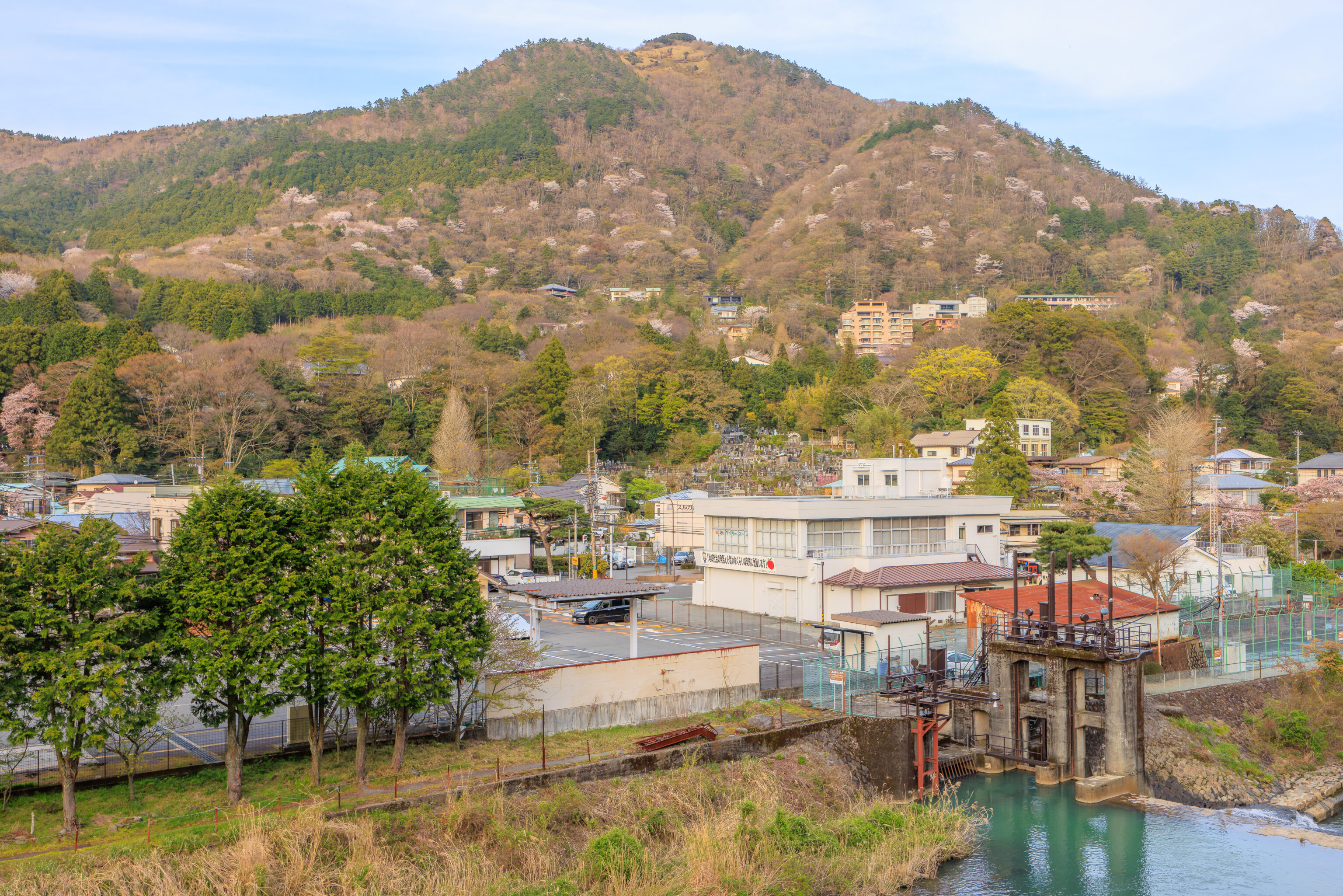
There is a large 大 (big, large) character inscribed at the top of the mountain behind Miyagino. The Daimonji Bridge refers to this feature. There is a festival, the 大文字焼き Daimonji-yaki, that takes place here in August at the end of Obon, The 大 is set on fire. This event happens in various places, including Kyoto. We’ve never seen it but it would definitely be interesting to experience!
- History, treasures and cultural assets of Hakone Shrine, Kuzuryu Shrine and Hakone Motomiya Shrine: https://hakonejinja.or.jp/hakone/#link_03 ↩︎