
After breakfast at the Essential in Interlaken, we took the train to Kandersteg to visit the Oeschinensee, an alpine lake accessible by gondola. After hiking to the lake and back, we visited the town of Thun to see Schloss Thun, its historic castle. We briefly stopped at Spiez to enjoy the view before returning to Interlaken for dinner.
Morning
After waking up at the Essential by Dorint in Interlaken, we headed over to the breakfast room. Happily, the breakfast inclusion issue from yesterday was resolved. Breakfast was largely the same as yesterday.
Kandersteg
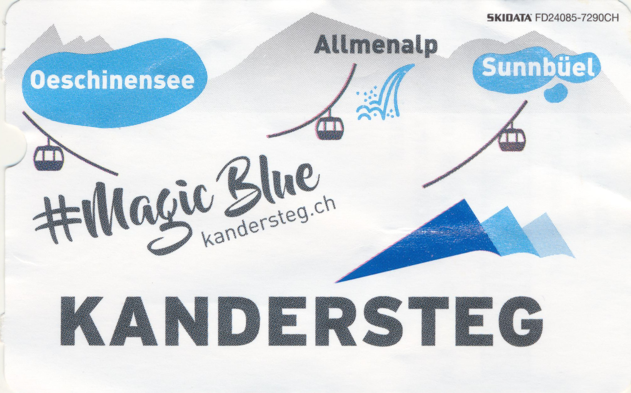
We got on the next train to Kandersteg at around 8am. Going to Kandersteg requires traveling to Spiez to switch to a different train that goes to Kandersteg. This trip is covered by the Berner Oberland Pass, which we have, and takes a bit more than an hour overall.
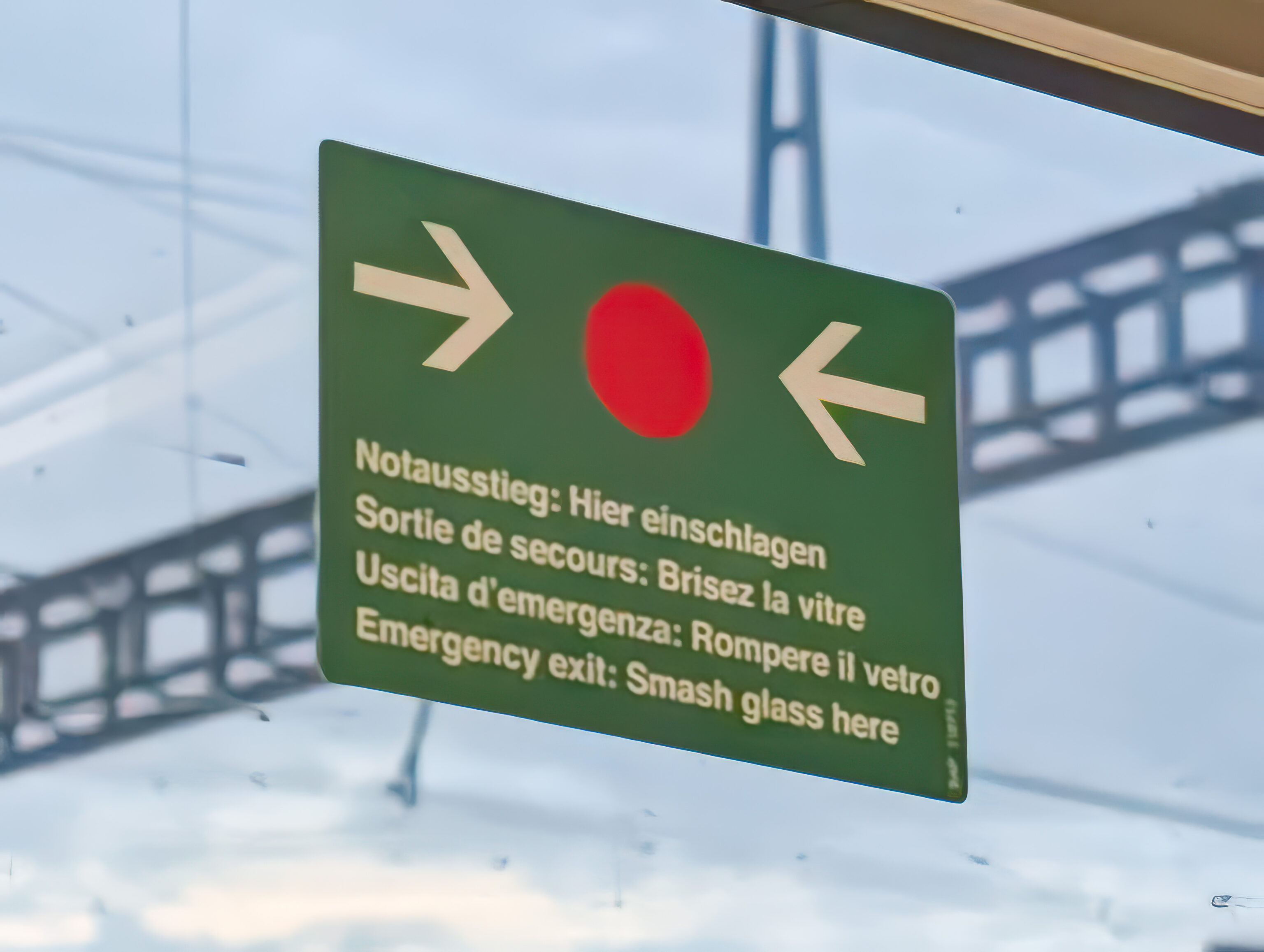
We found the English translation on this sign amusing – smash the glass here to use as an emergency exit!
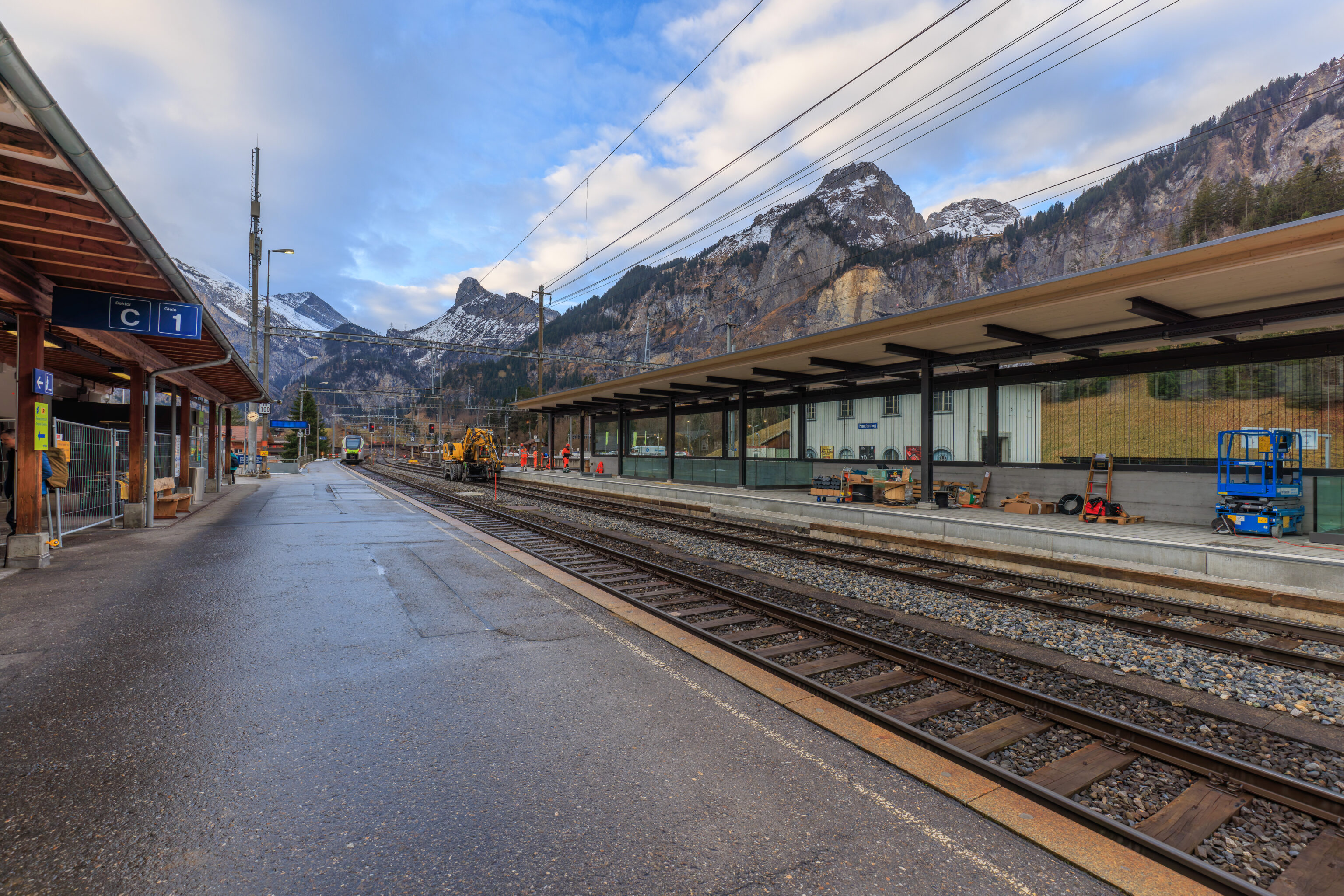
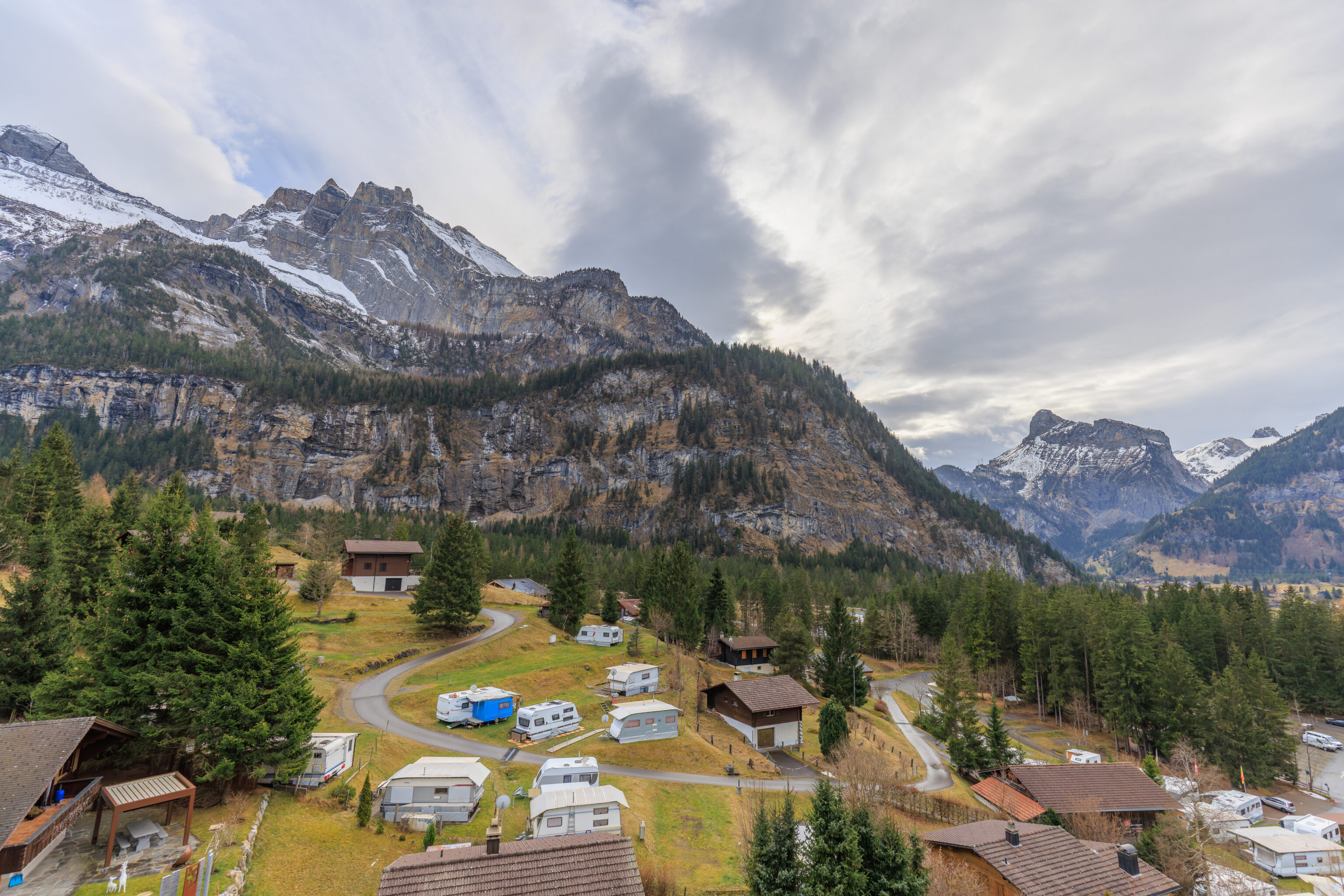
We got to Kandersteg at about 8:40am. The walk to the gondola station is about 1km and takes 15 minutes or so. It seems that there is a bus but it does not run today.
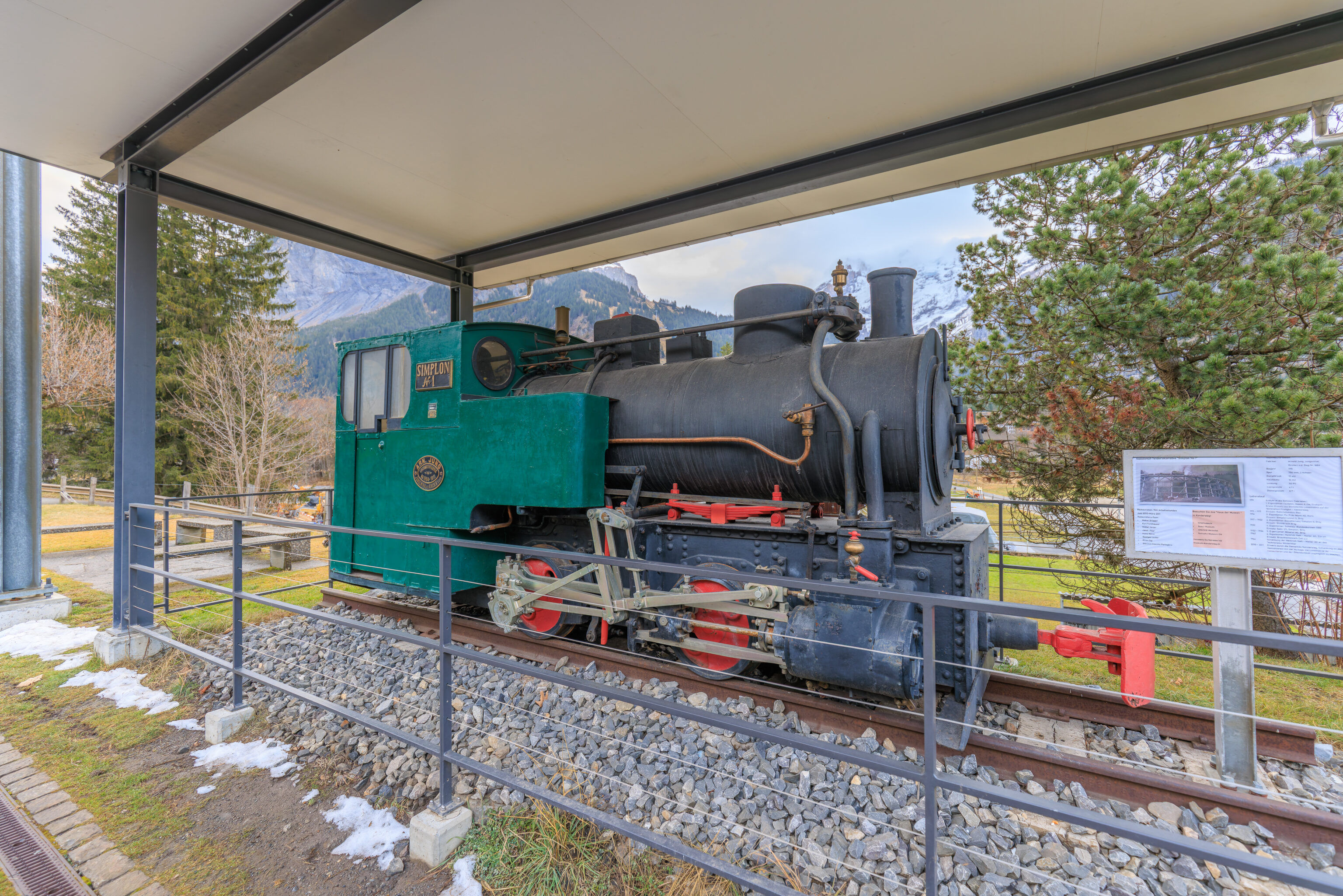
This small steam locomotive, built in 1911, was on display at the station.
The station has an excellent view of the mountains to the east. We visited some temporary bathrooms as there was construction going on at the station. We then descended to street level via a ramp as the station and tracks are elevated as the station is on the side of a hill, or probably more accurately, the mountains to the west.
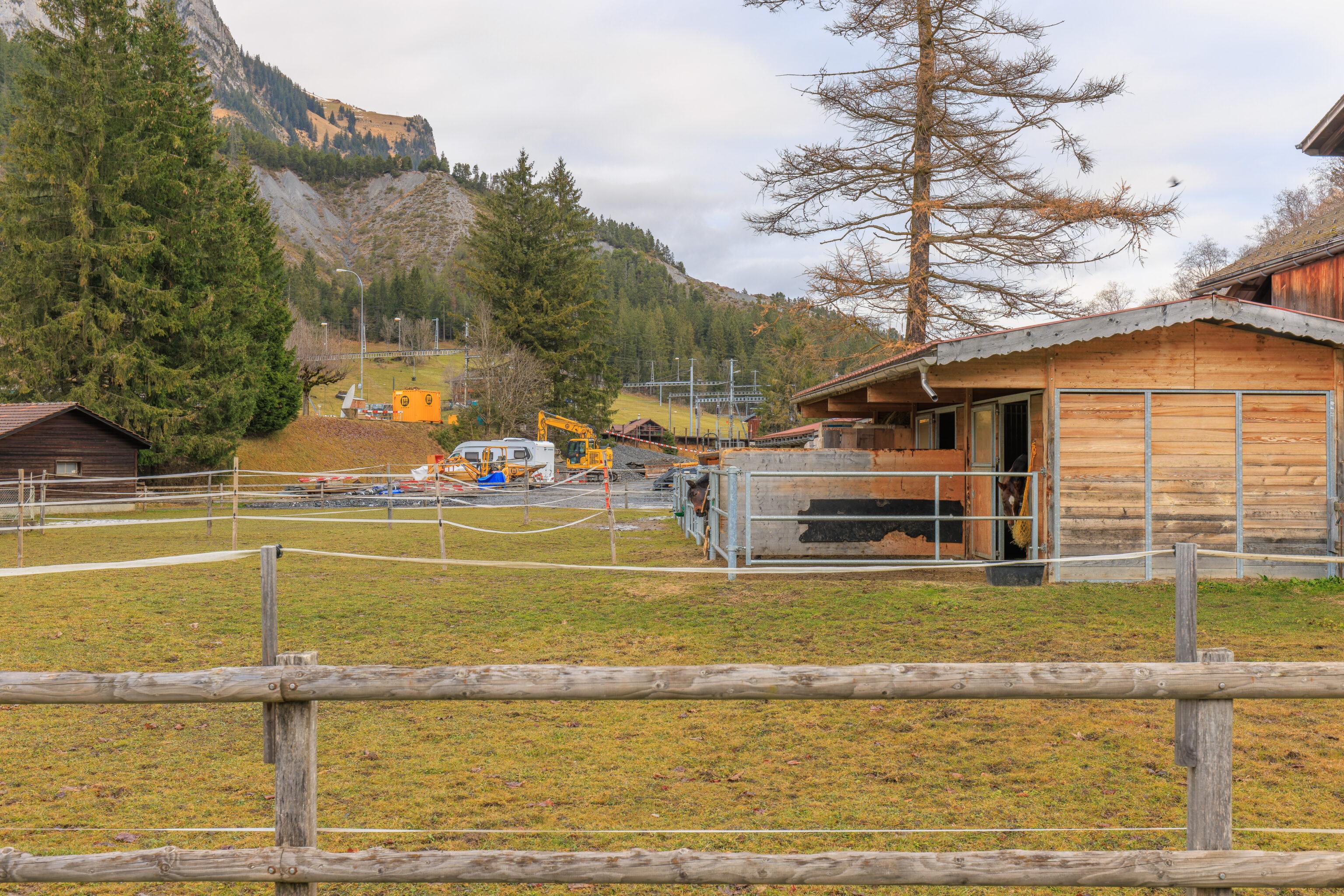
The area around the station is somewhat rural. There were horses right by the station!
The station building and the mountains behind.
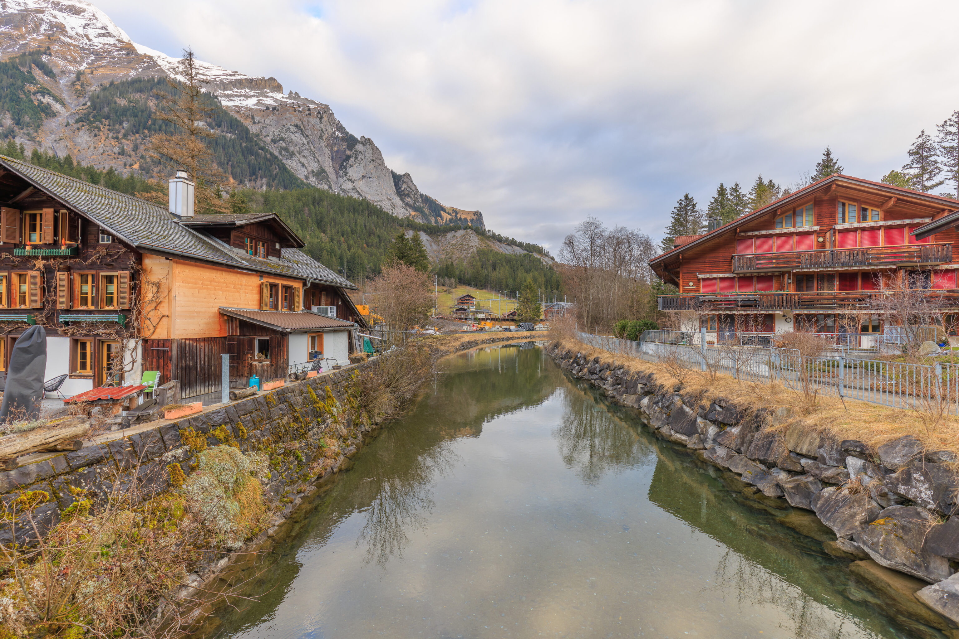
We crossed over a small river, the Kander. Presumably, the name of this town, Kandersteg, comes from a bridge over the Kander?
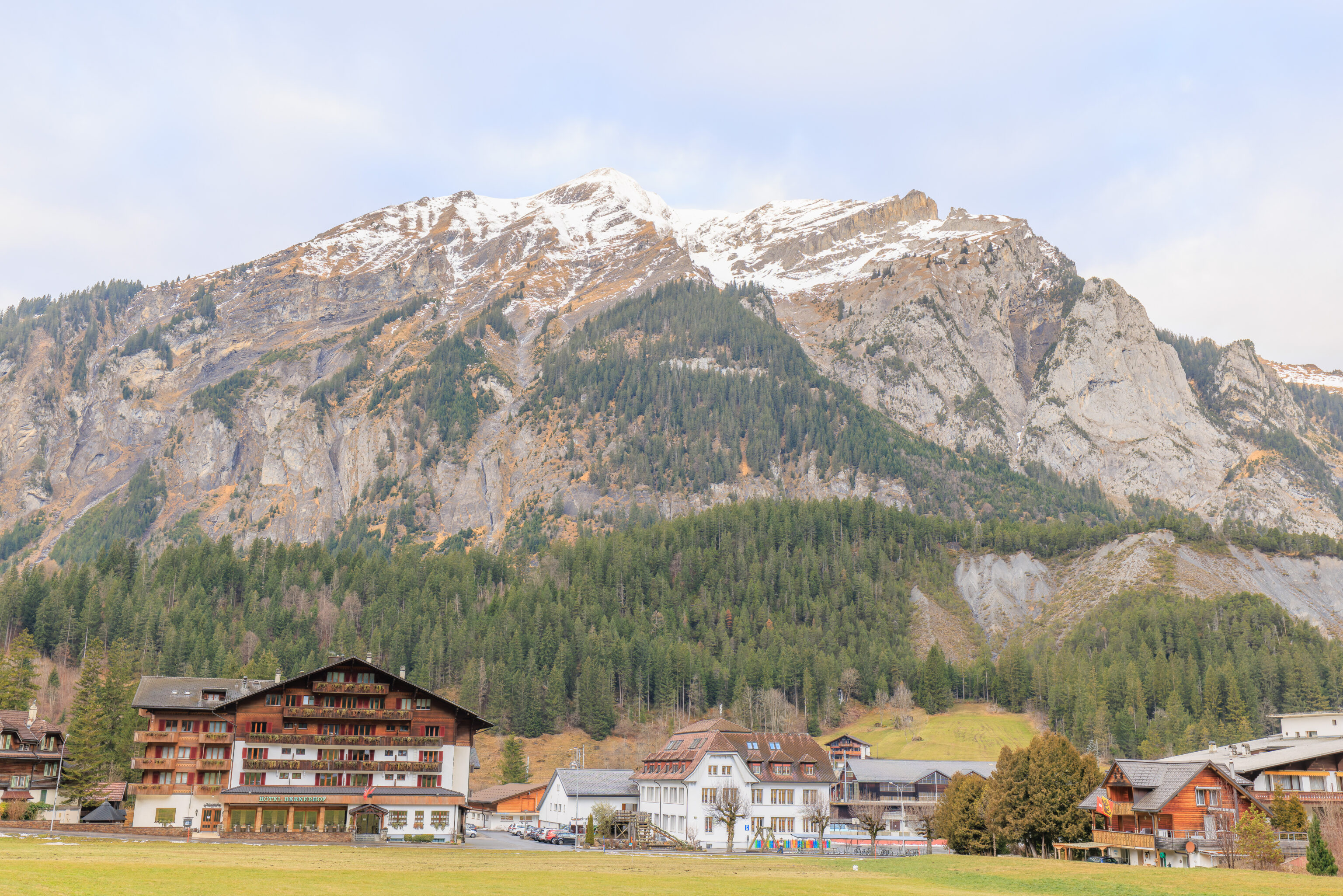
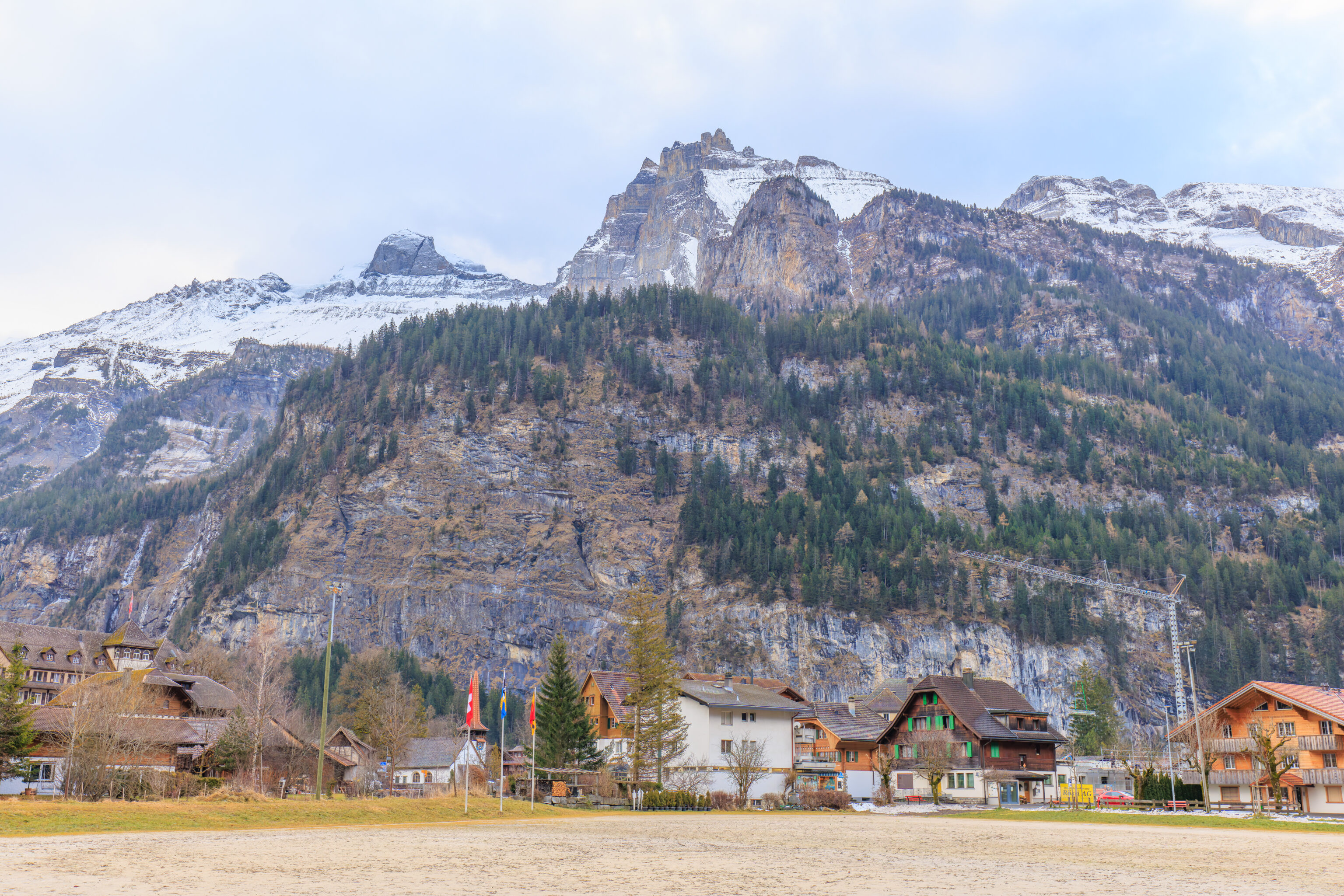
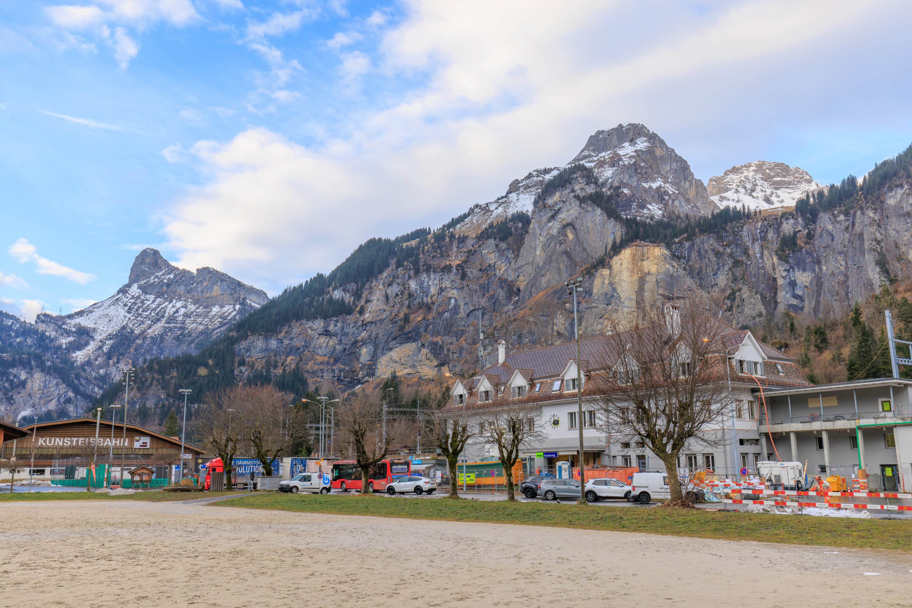
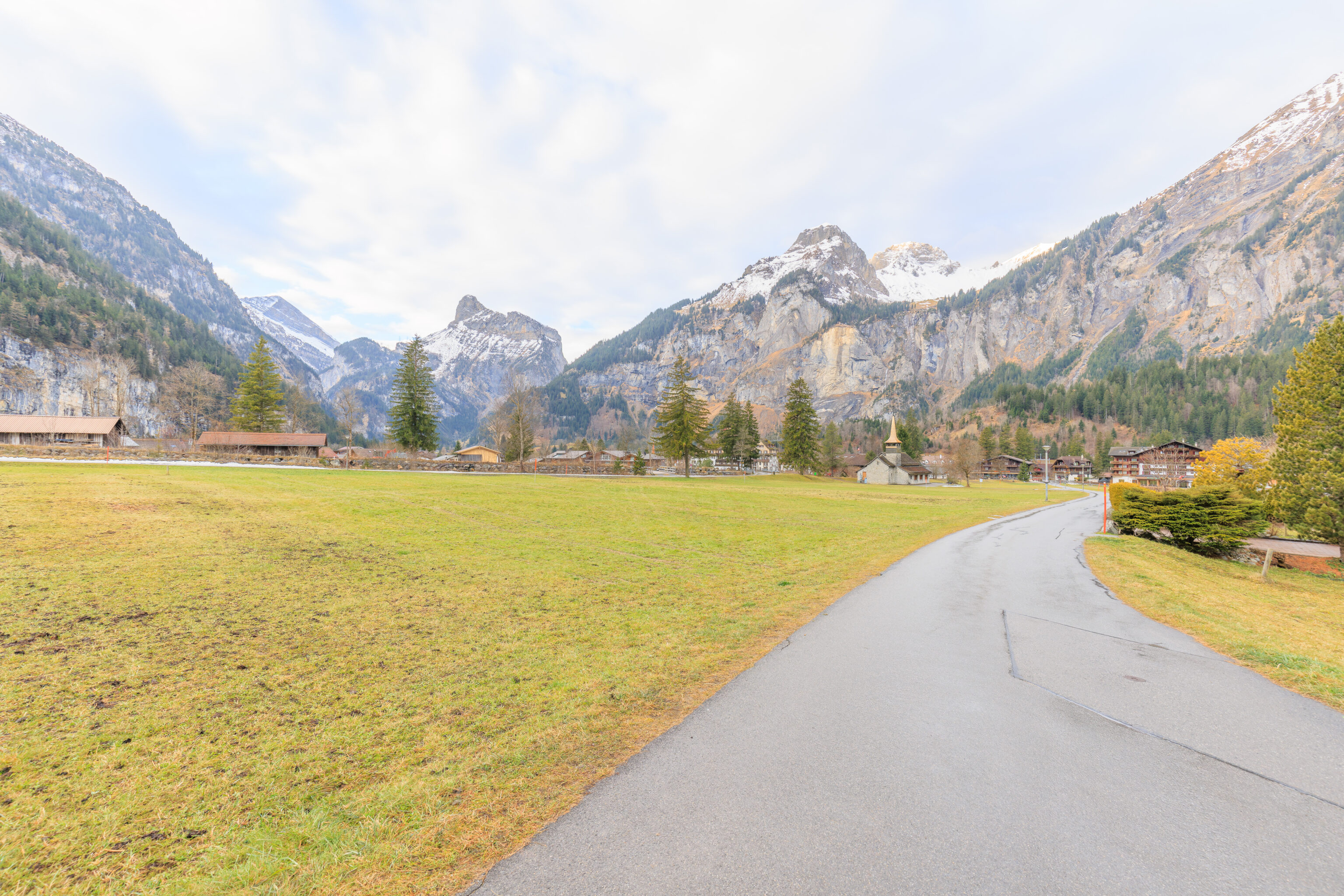
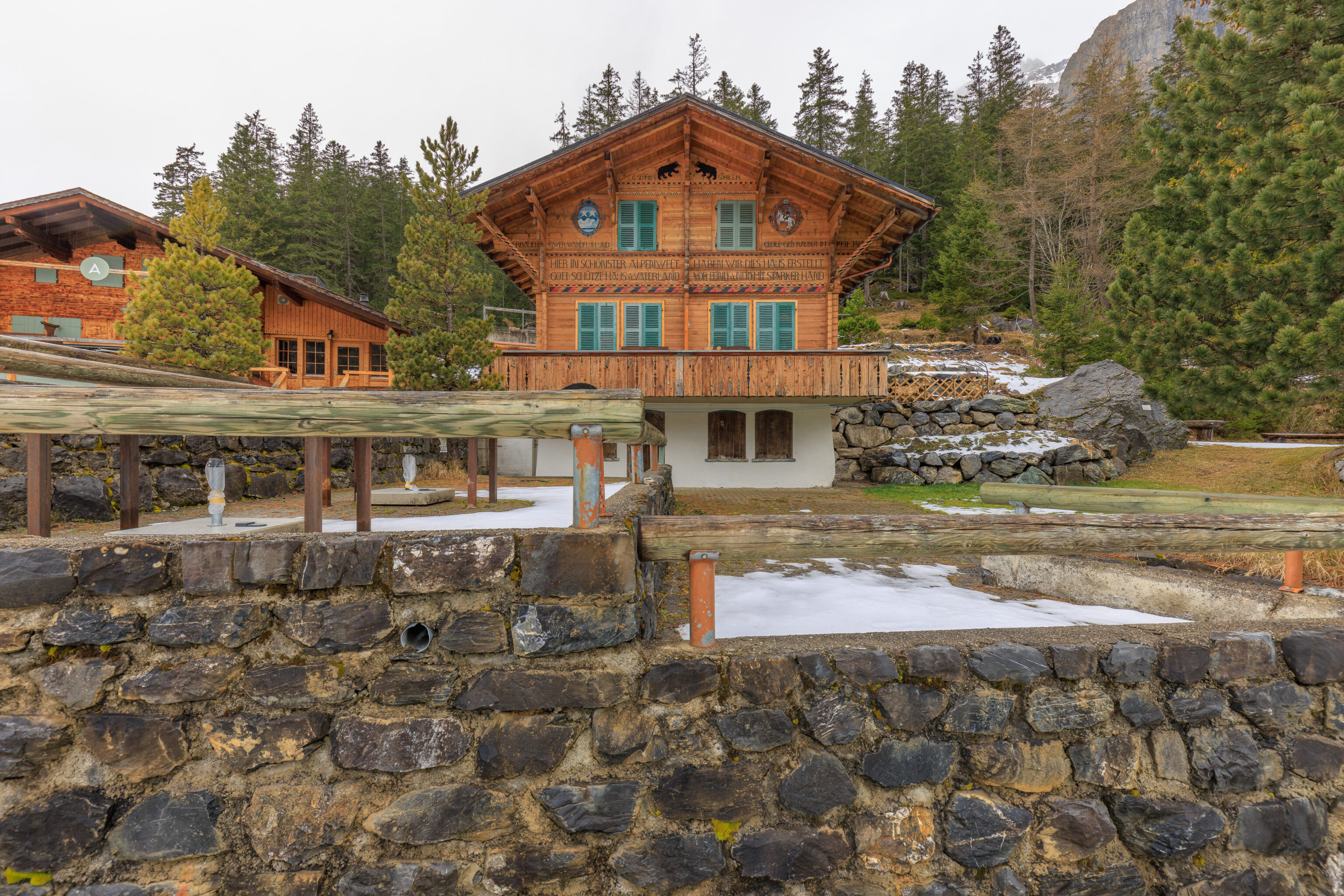
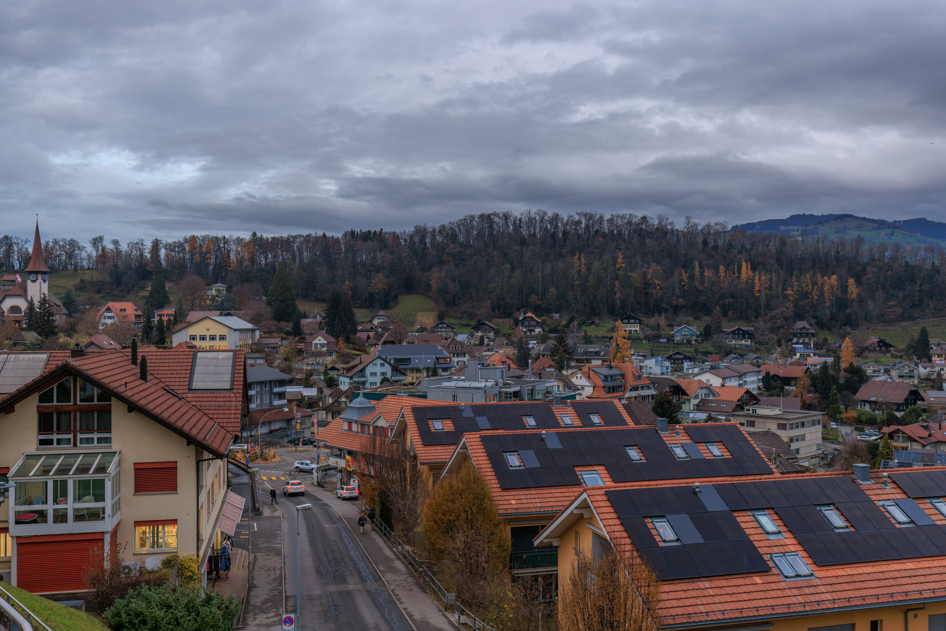
Kandersteg is a pretty small town with a few hotels and restaurants as well as residences.
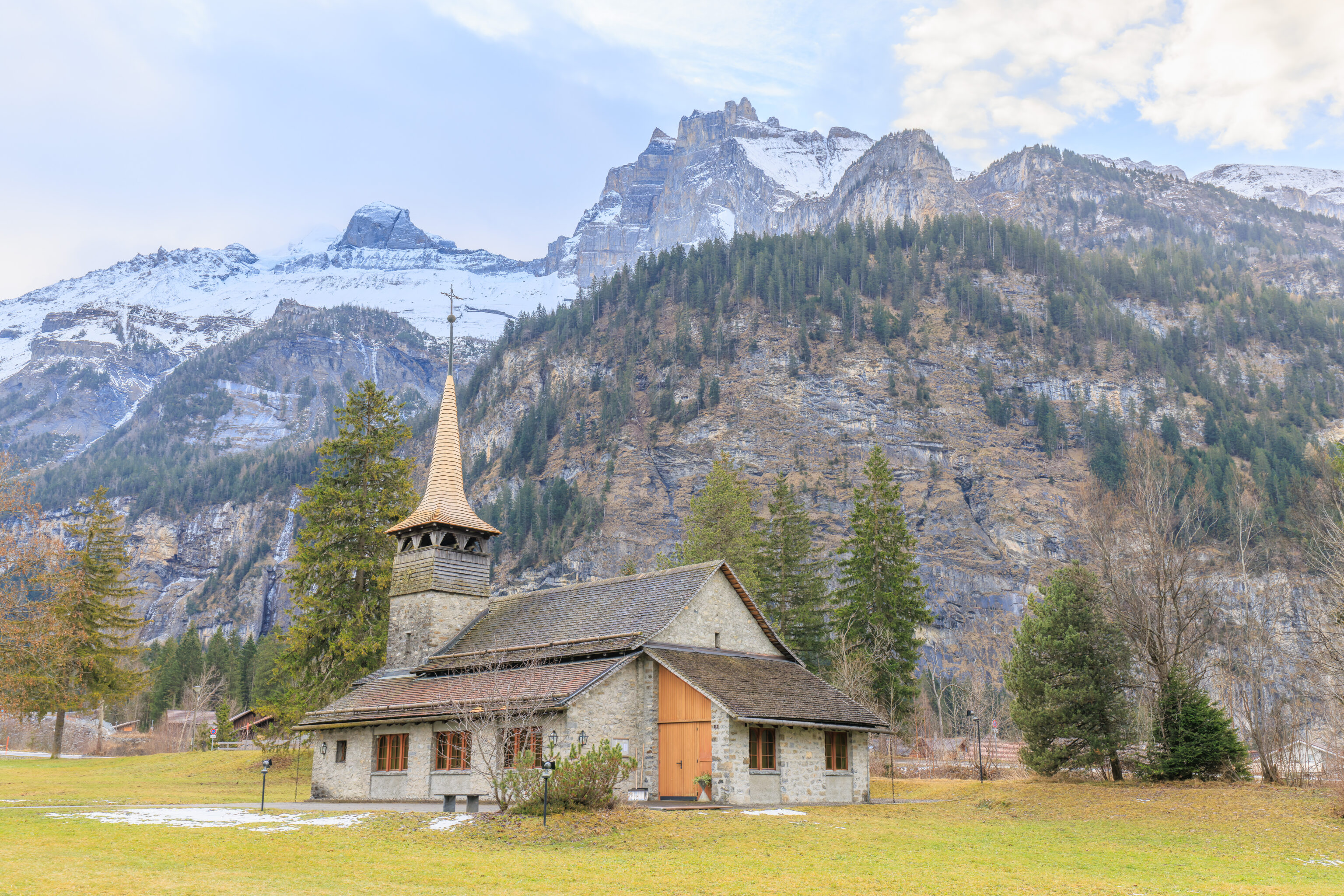
We walked by a small church with high mountains in the background. Very Swiss!
The view looking back at the church as we continued walking to the gondola station.
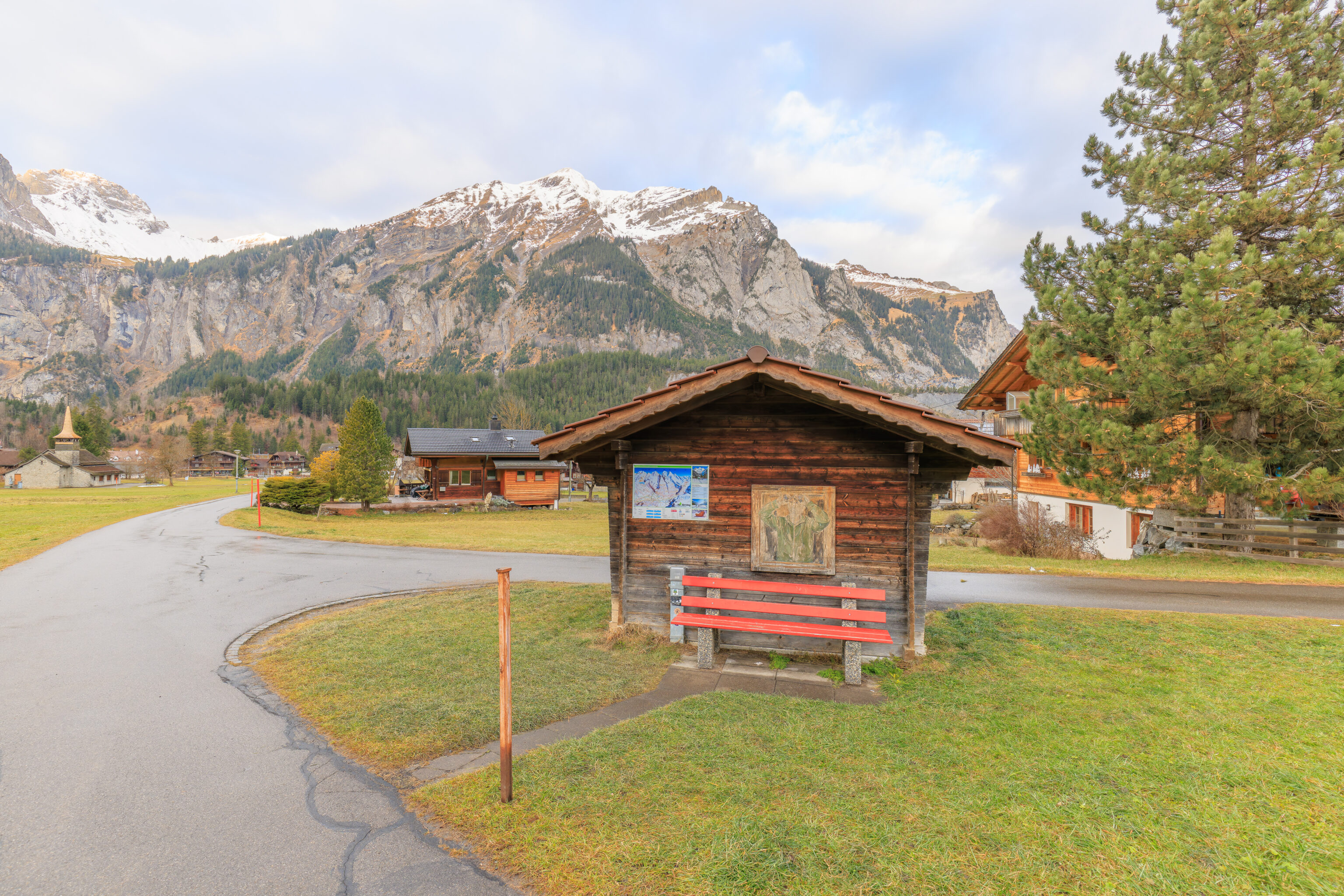
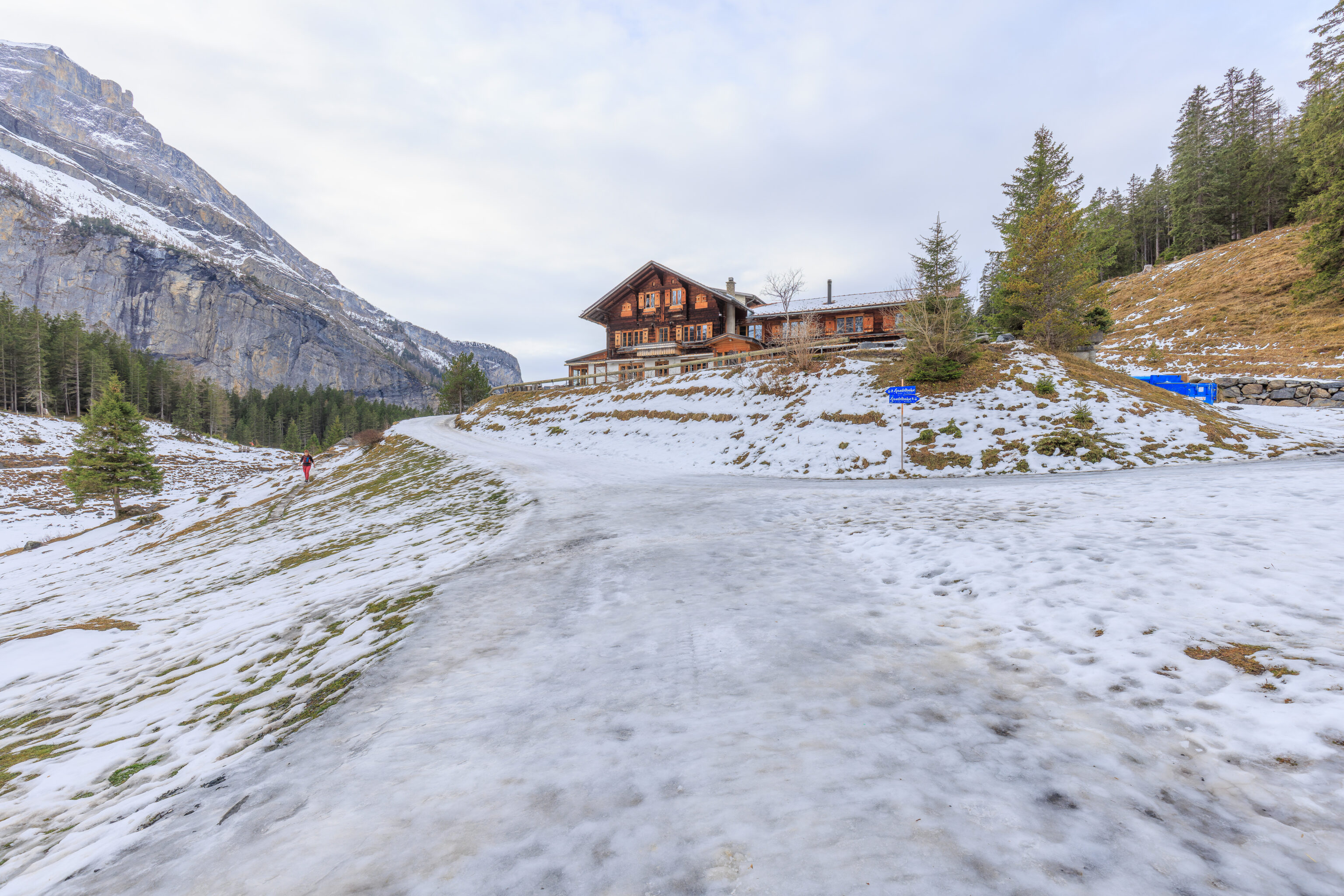
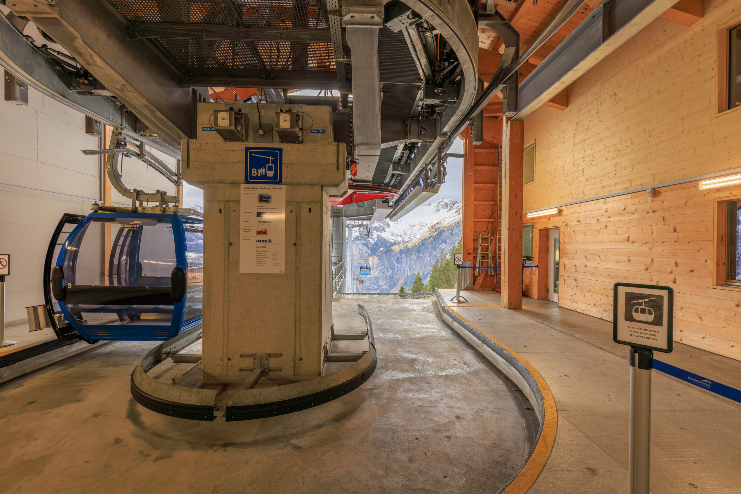
There was a small bench at a junction along with a small map of the area. Not far beyond, we reached the gondola station. We should have photographed it! This gondola is included in the Berner Oberland Pass, however, you must get a physical ticket from the ticket office.
There was a bit of confusion and the person staffing the temporary ticket office outside had to ask for help as she didn’t know how to handle our pass. Soon, we had our tickets and continued on to the gondola. We ended up going in via the exit as the temporary ticket office is right by it and had to go to the actual entrance to get on! The normal ticket office is actually by the entrance but it was closed at the time.
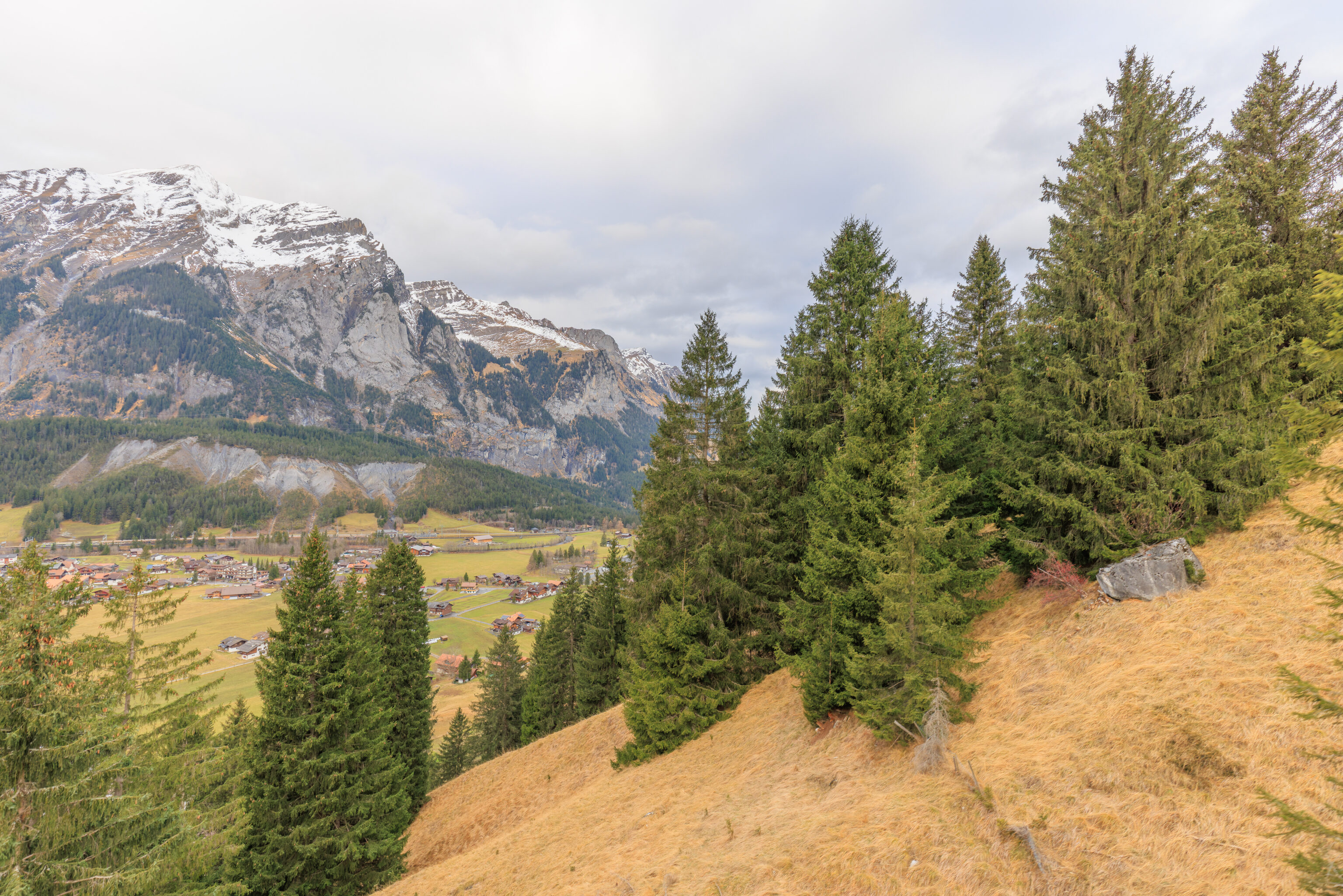
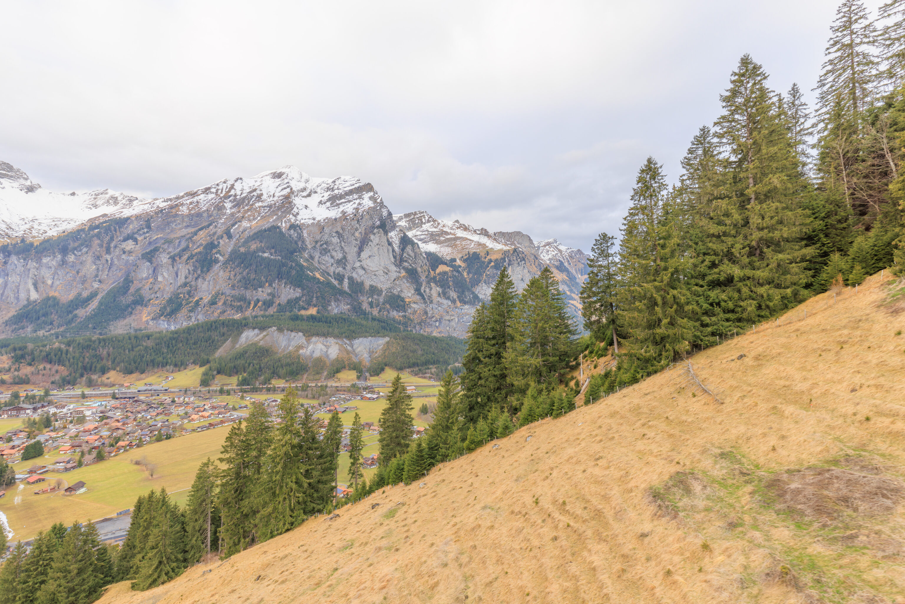
We rode the gondola up as it steeply ascended the mountainside.
Oeschinensee
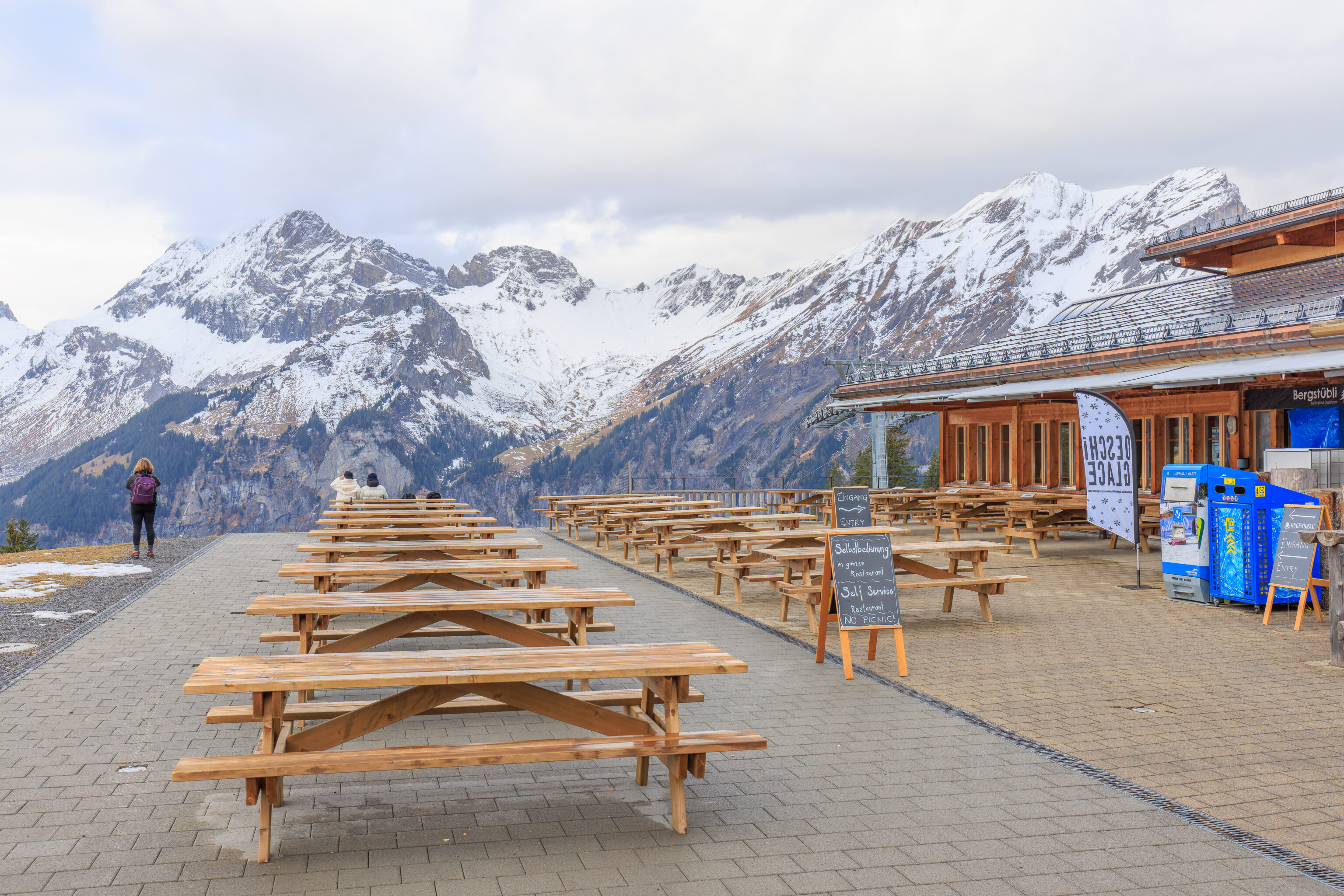
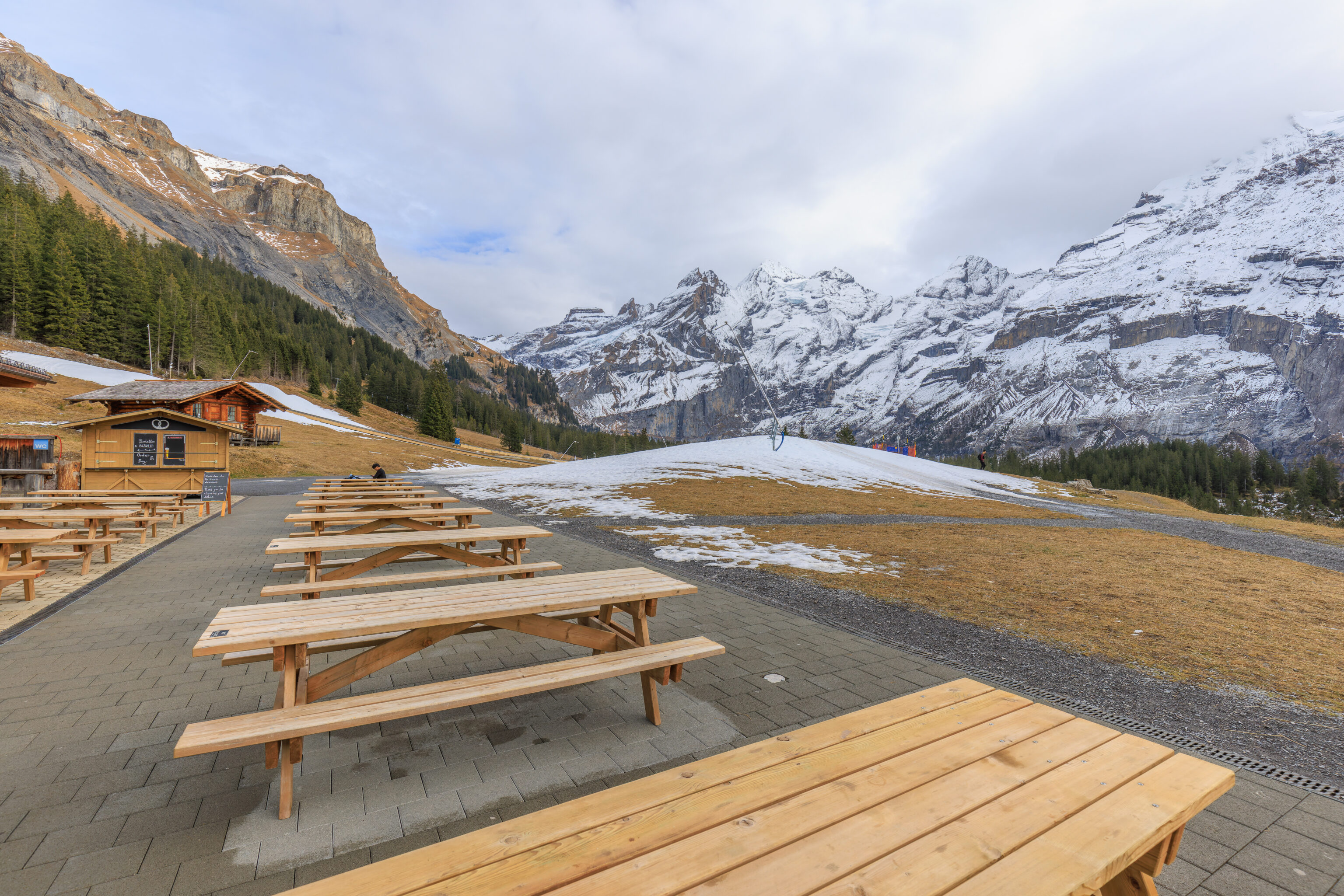
Like many places in Switzerland, the upper gondola station has a restaurant with nice outdoor patio. There were only a few other people there at the time.
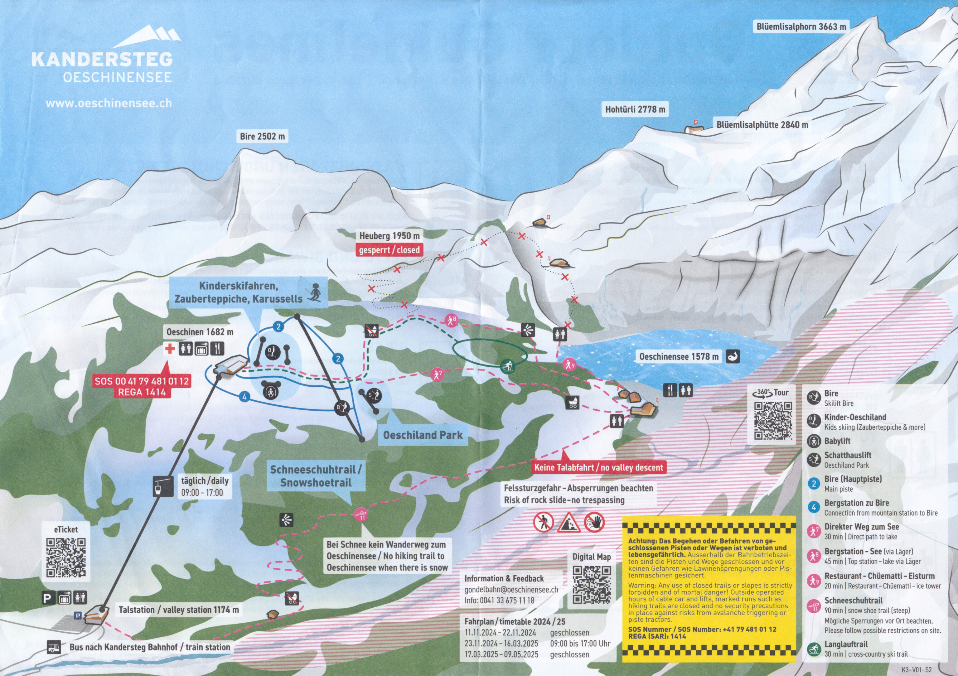
We received a map of the area when we were at the lower gondola station. We plan on taking the most direct route to the Oeschinensee and walking around a bit before returning.
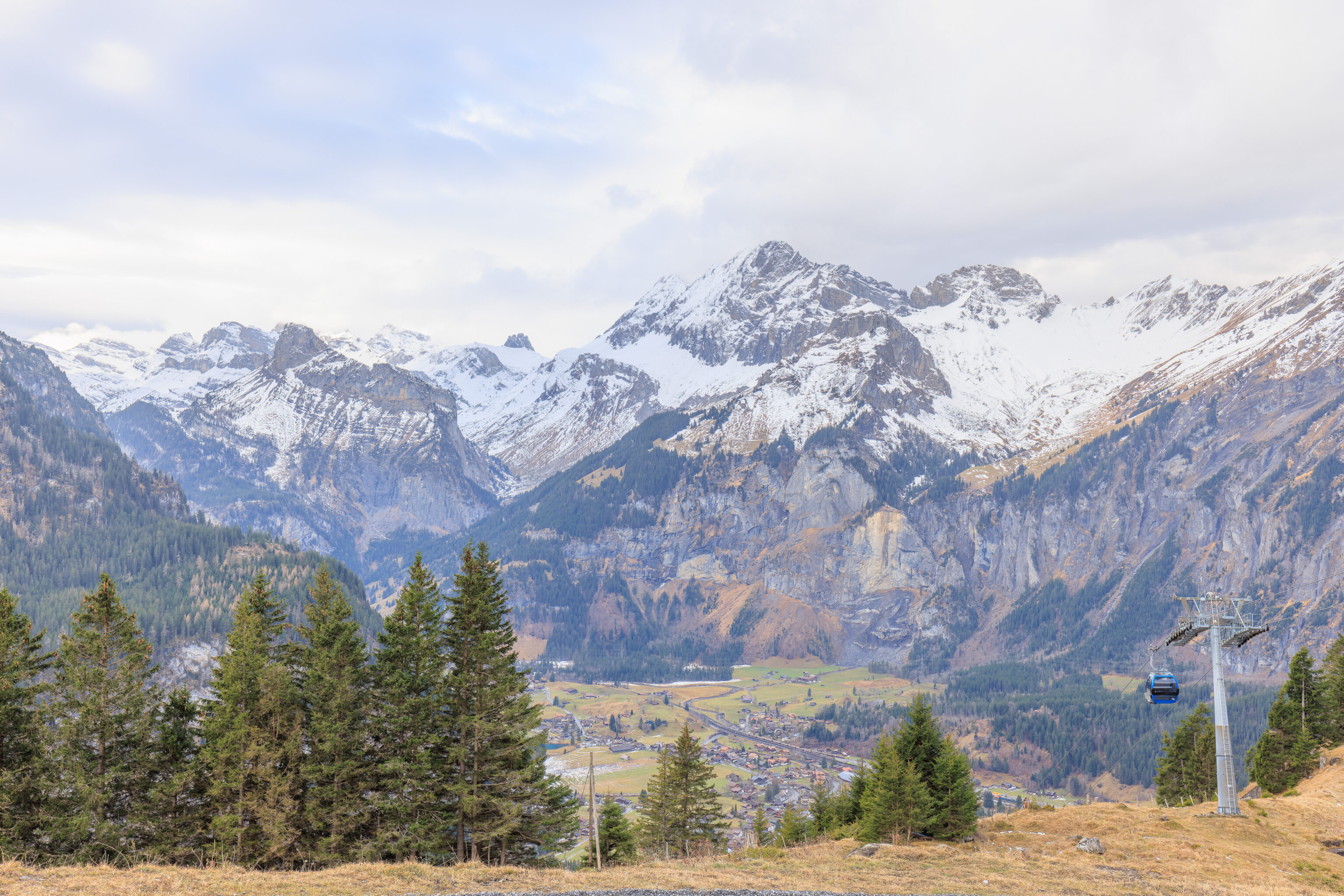
The far end of the patio provides a beautiful view of the valley below and the mountains beyond.
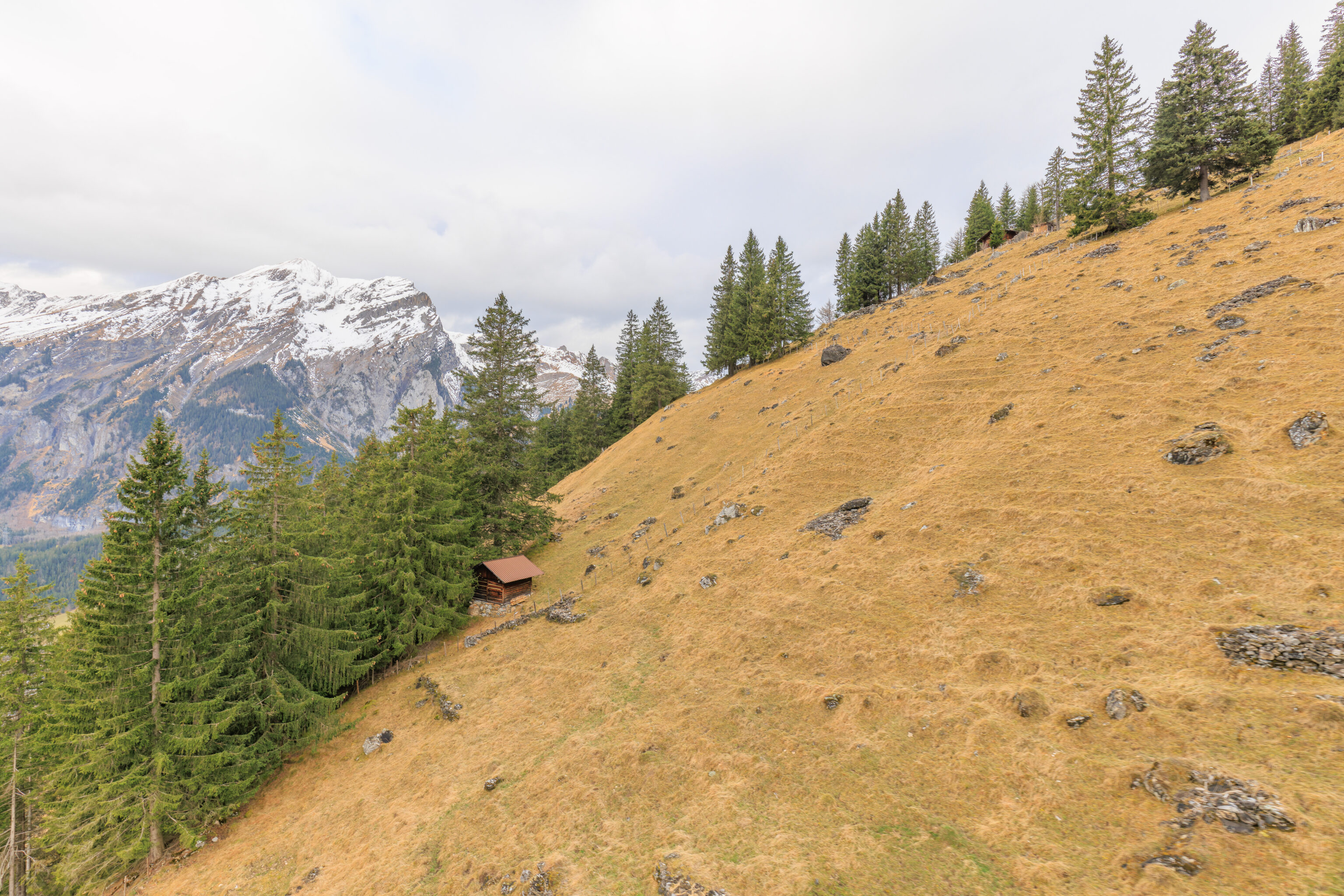
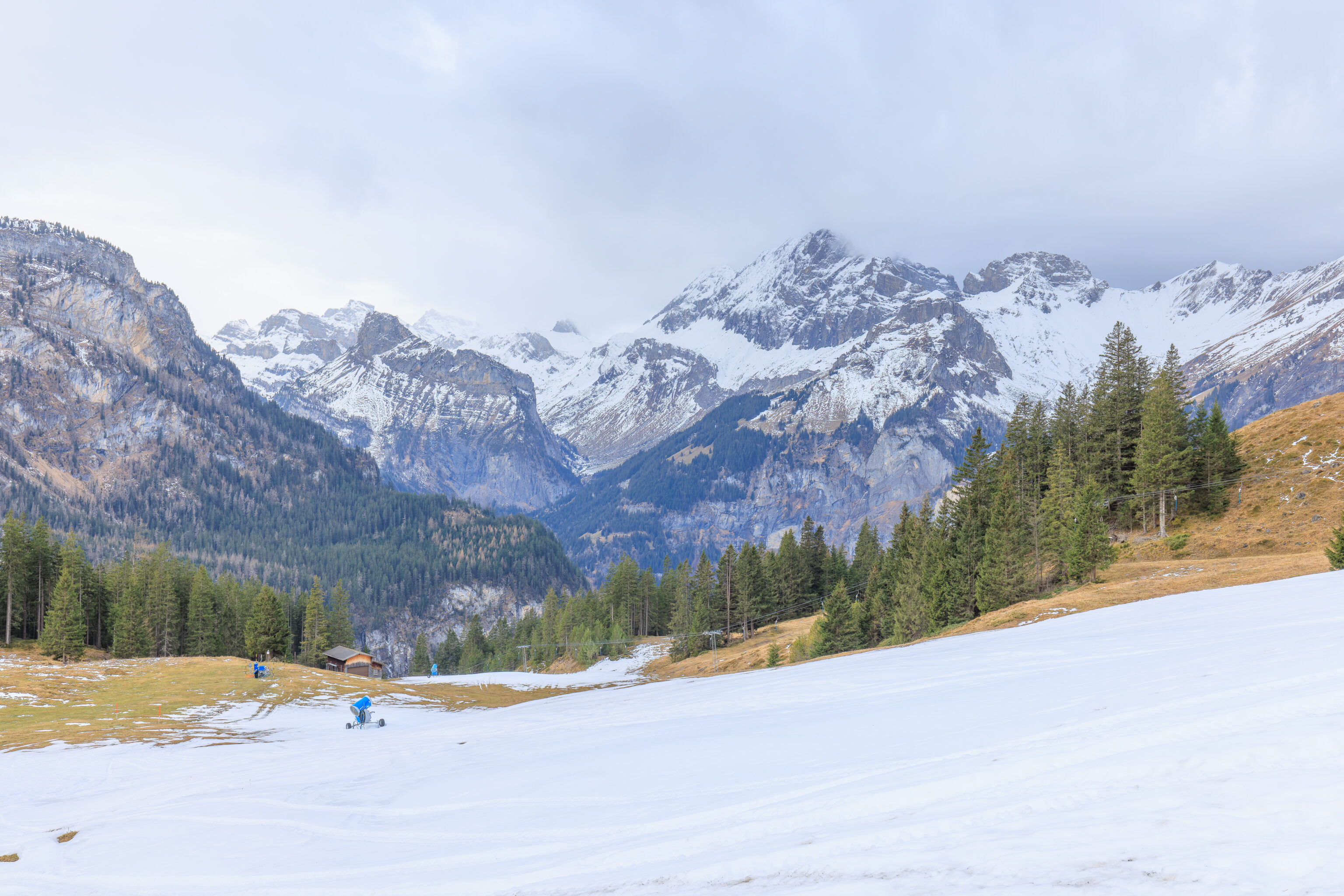
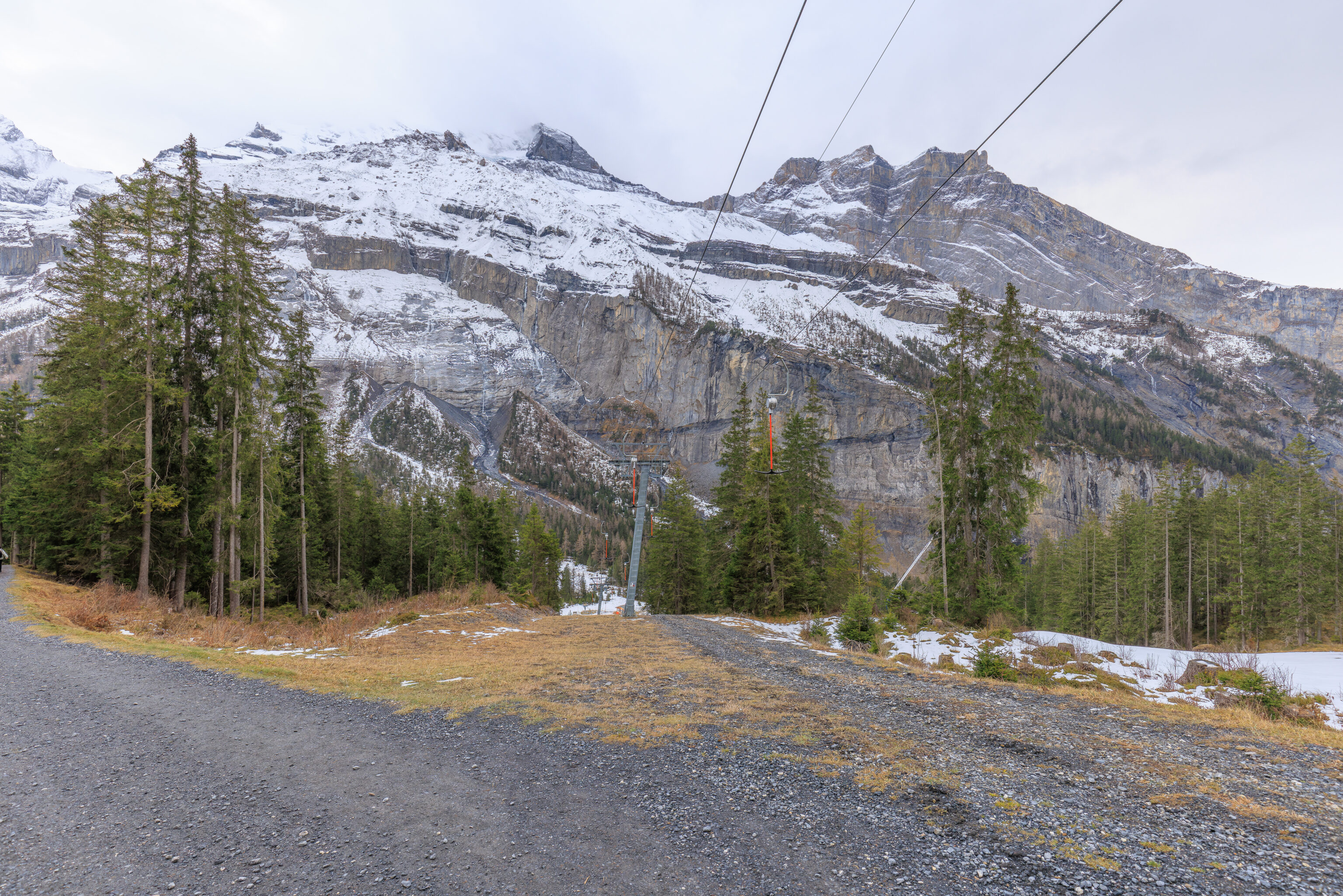
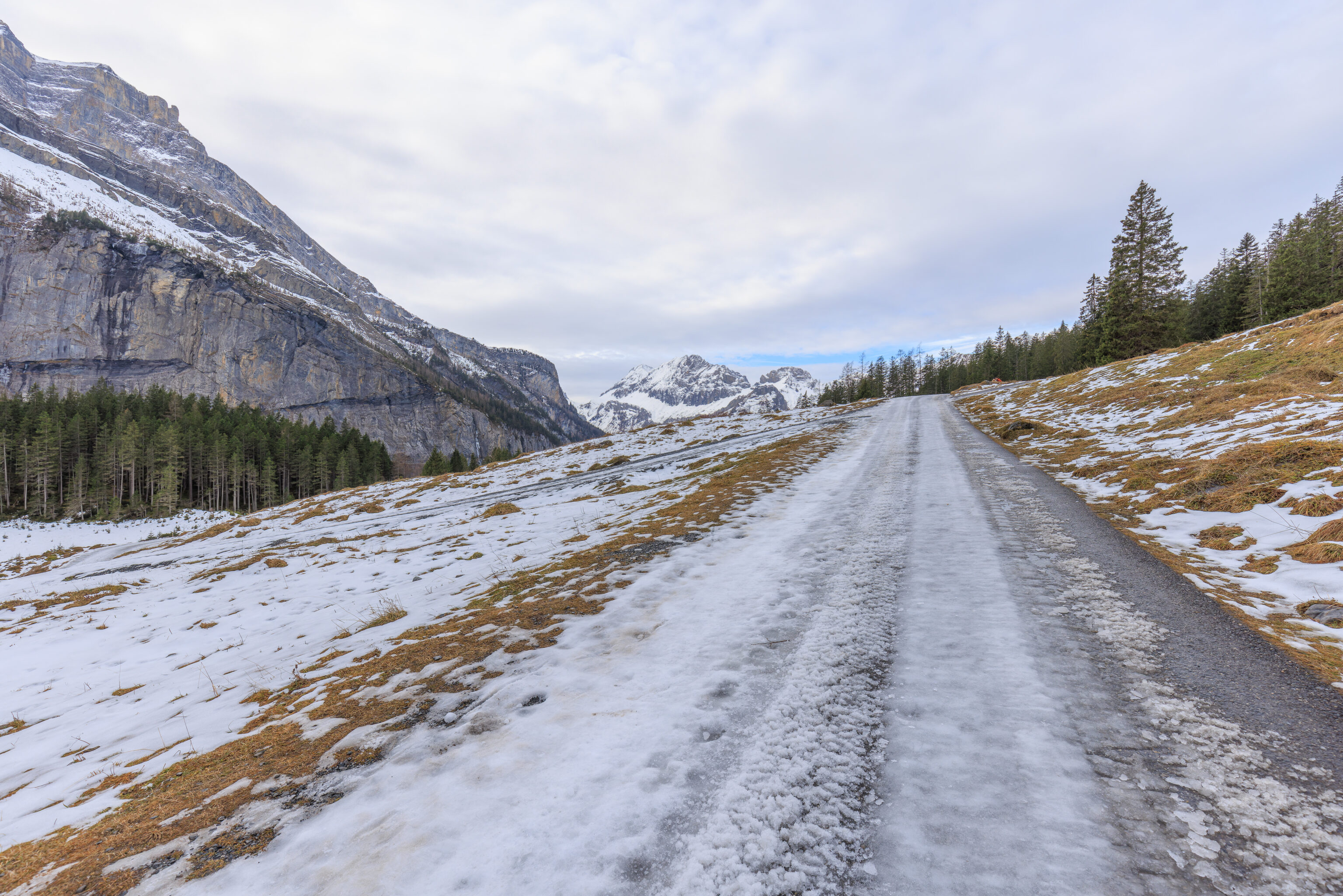
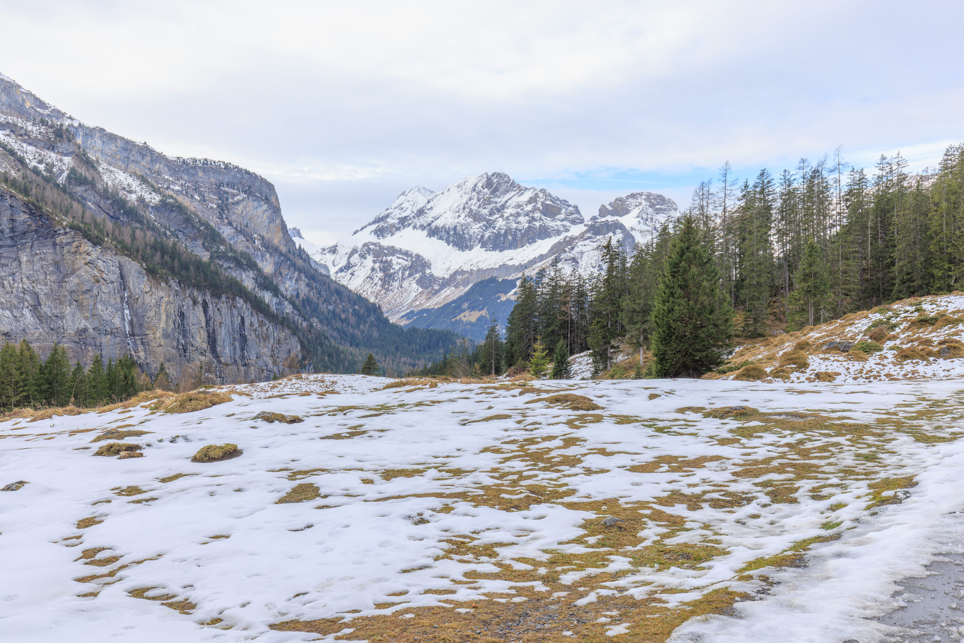
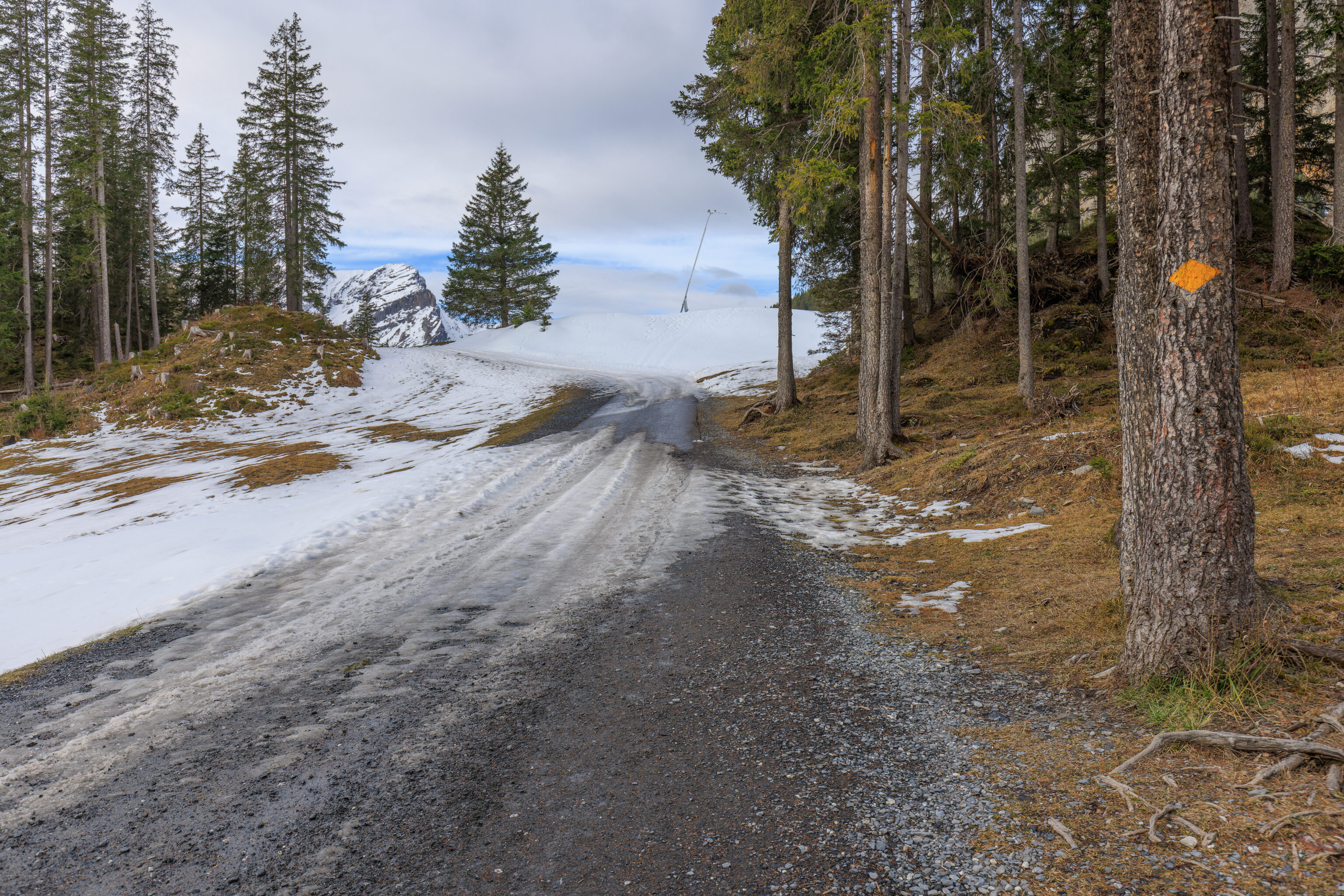
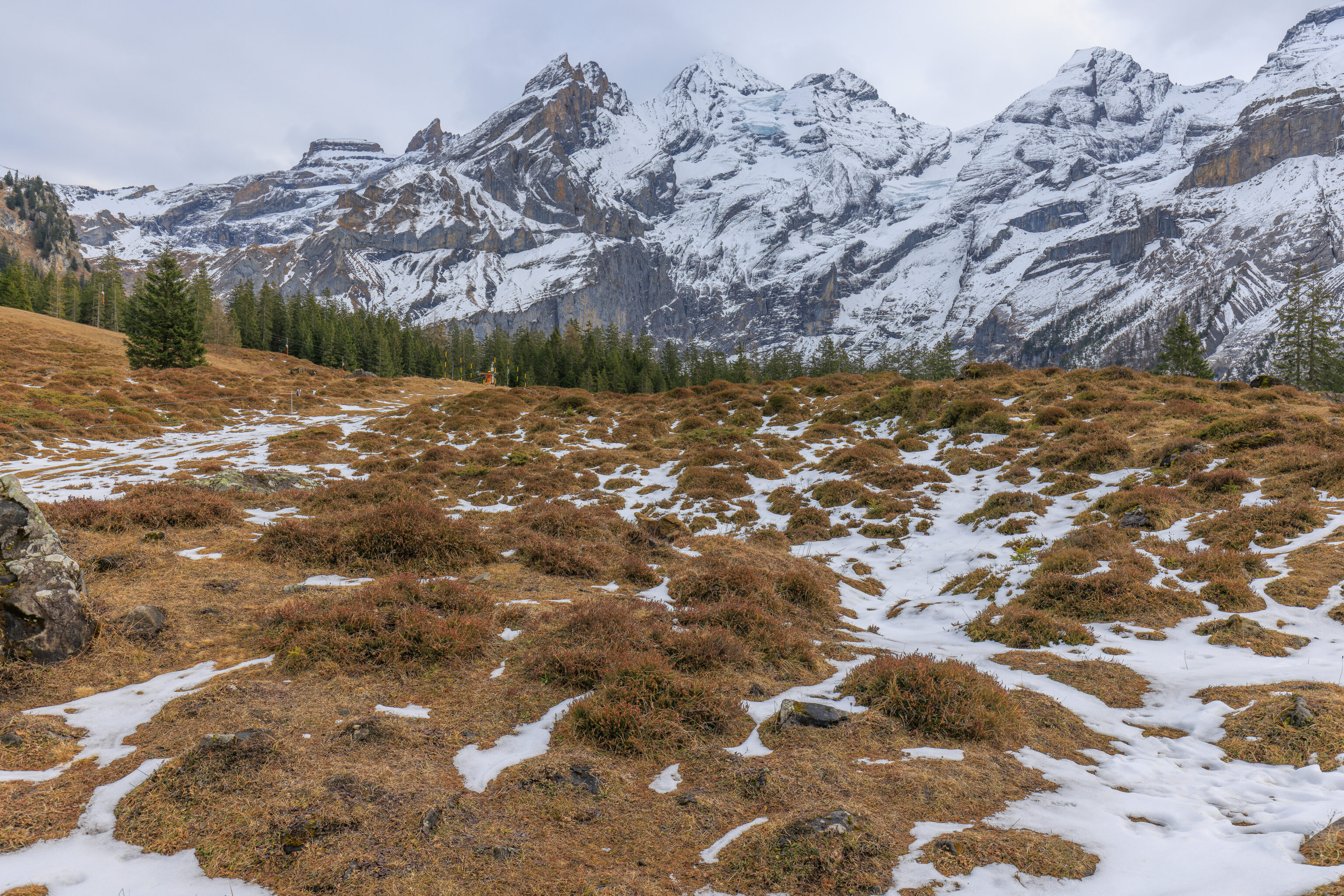
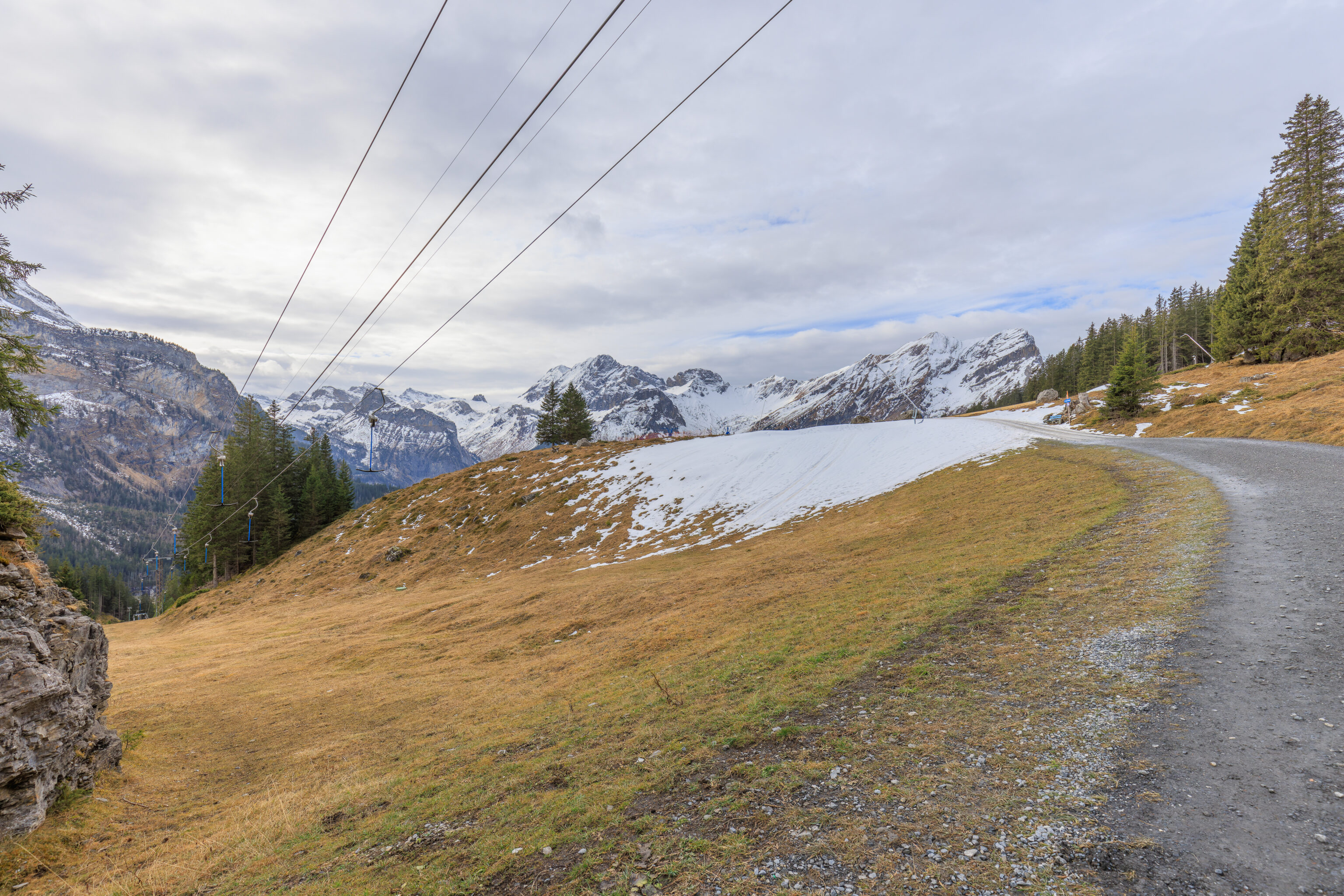
We started to walk east along the trail, really more of a maintenance road.
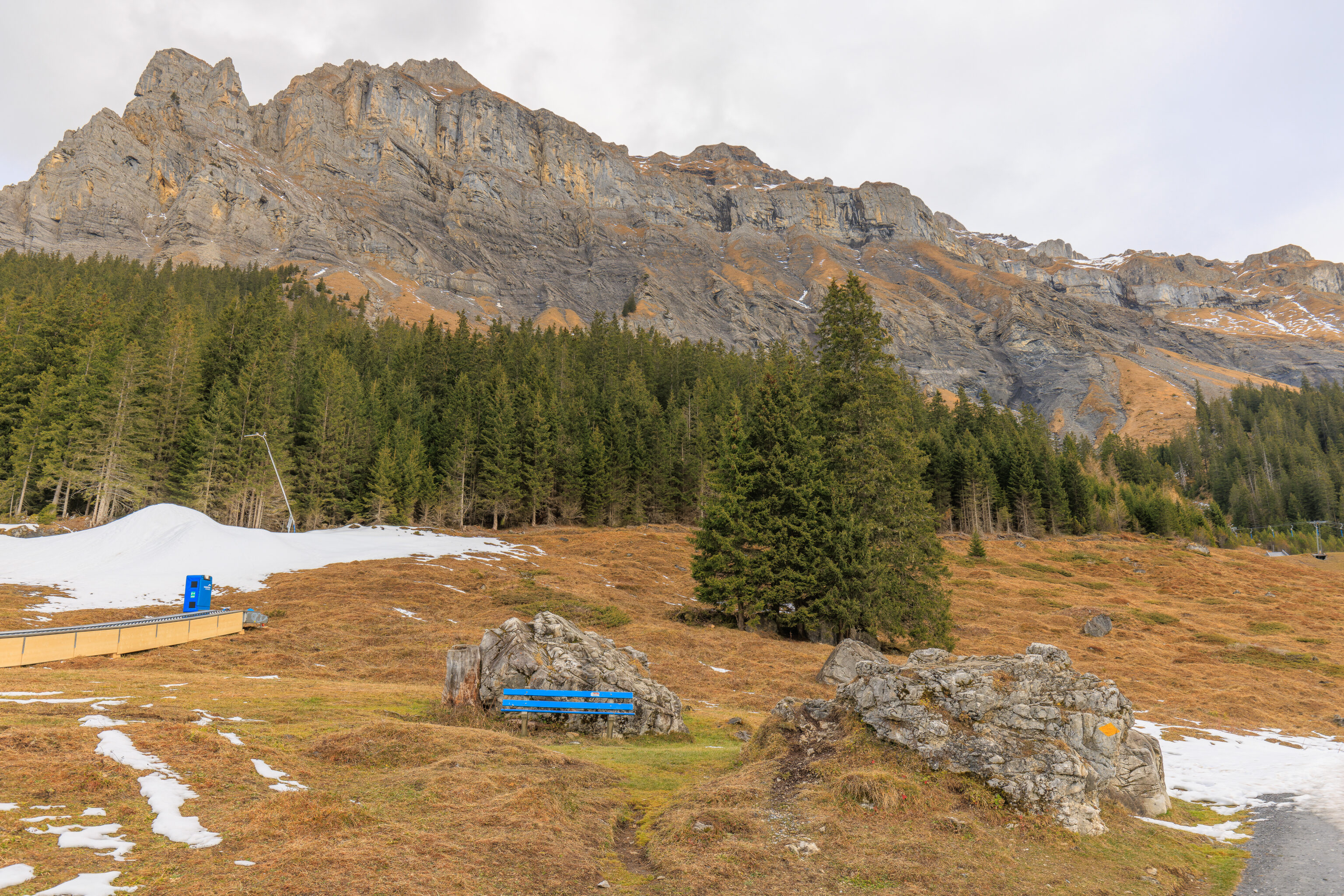
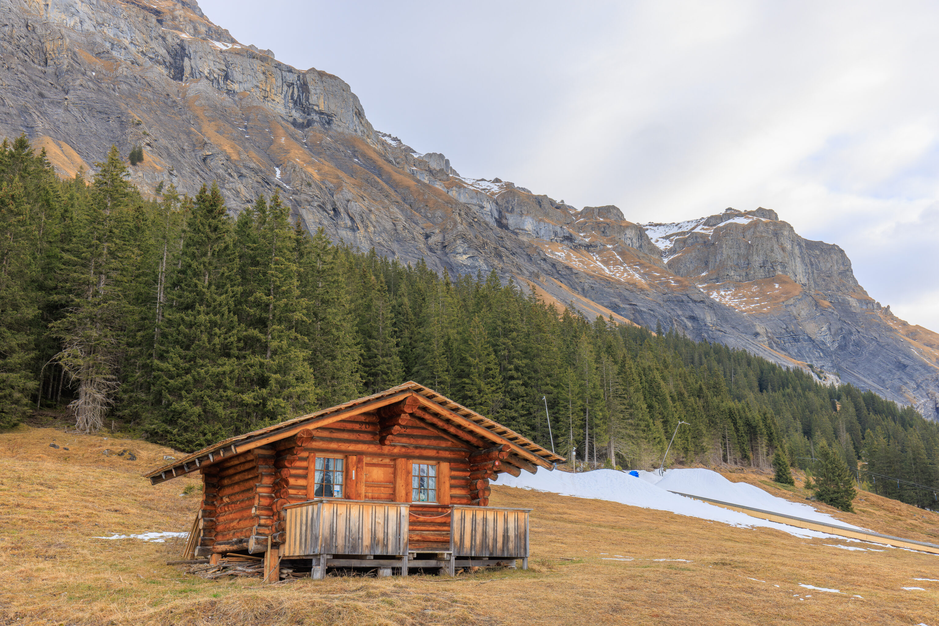
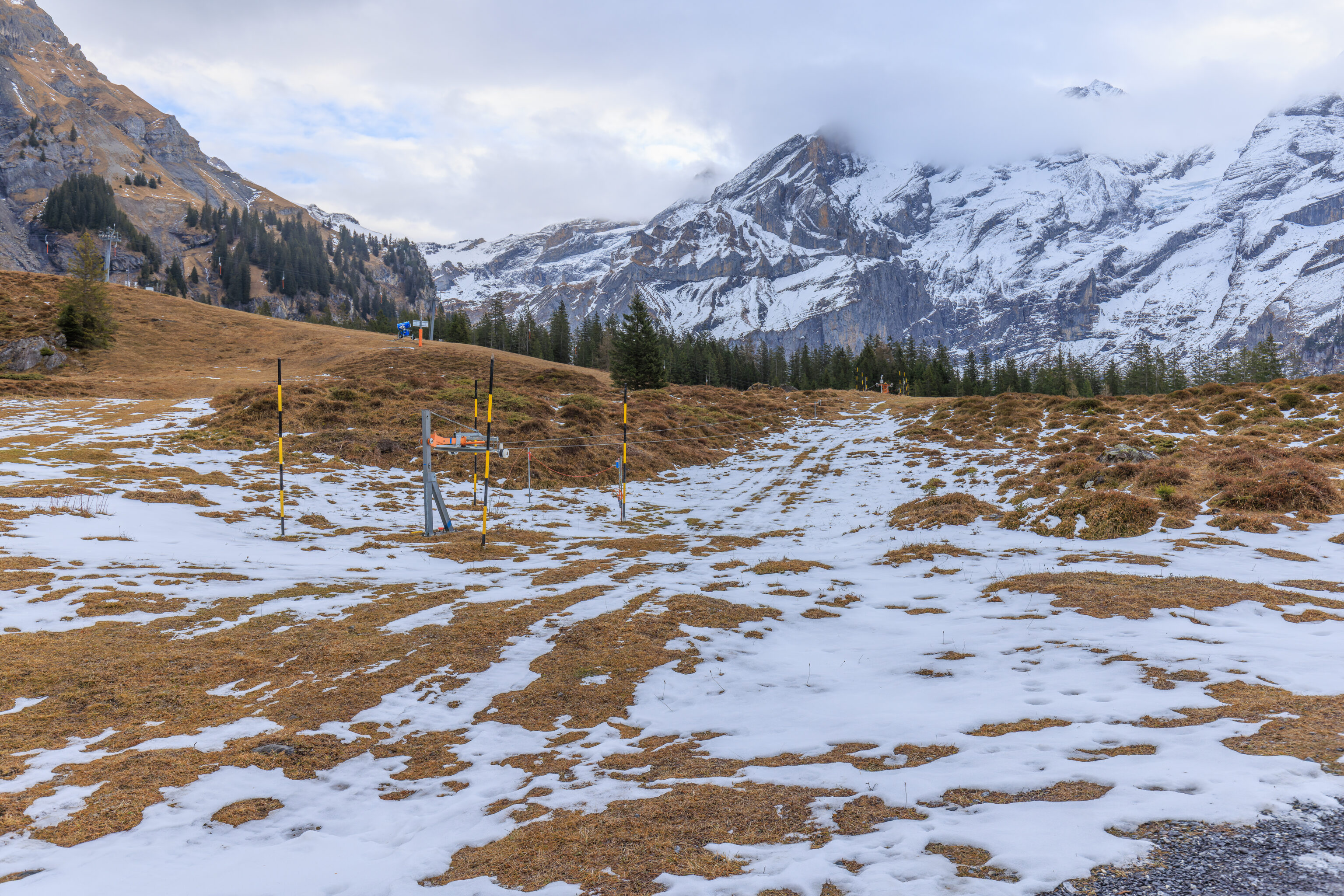
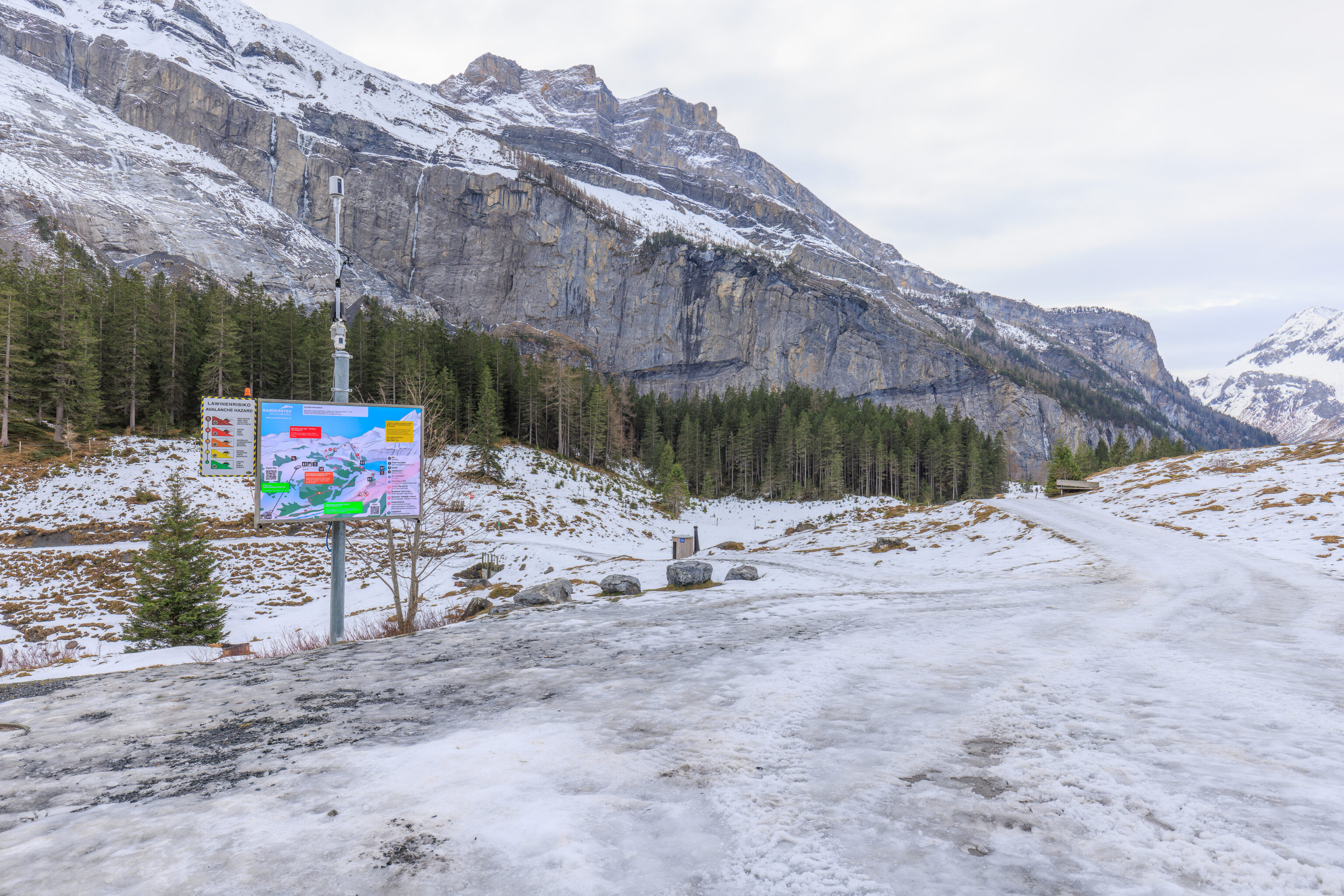
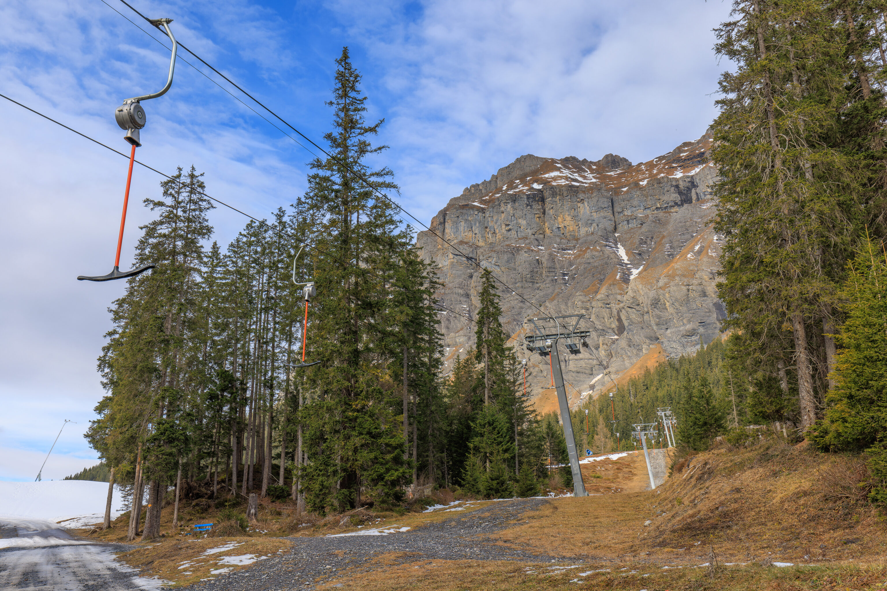
We noticed patches of snow as well as various pieces of idle snow making equipment and ski infrastructure. We also passed by a bench, which likely would be under snow during the ski season.
Here, looking to the south, we could see that we were approaching a T bar lift.
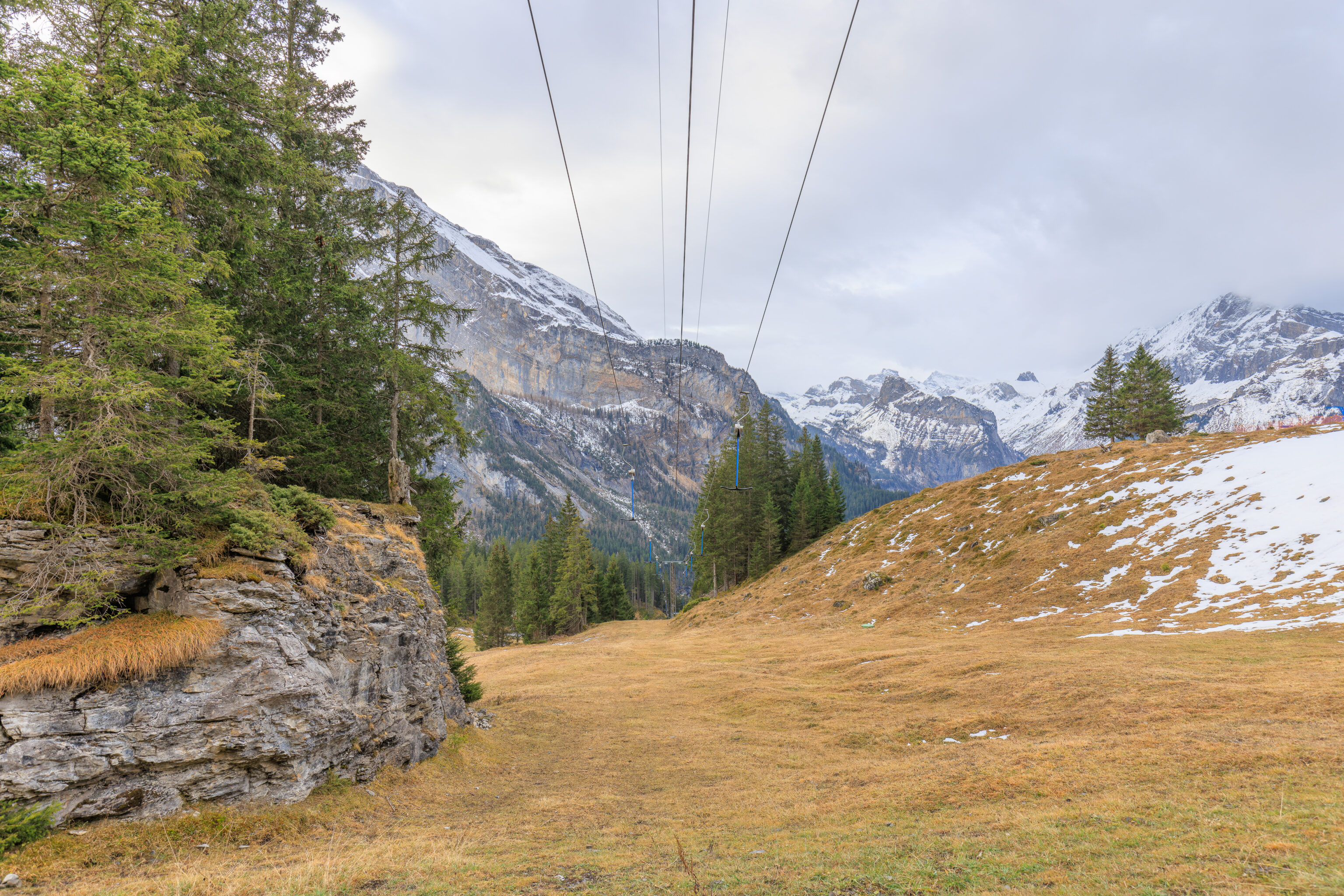
We walked under the T bar lift when we came to it. The T bars are extended down by the weight of the passengers when in operation. We’ve never actually used this kind of lift before as they are not as common in the US as they are in Europe. We have seen people have trouble using them and it looks a bit sketchy when going up steep slopes!
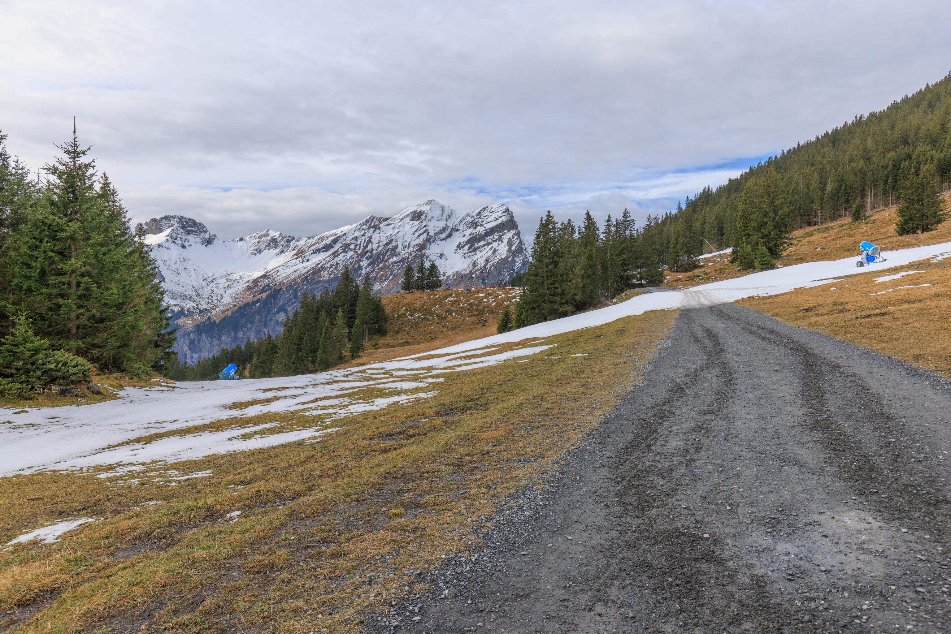
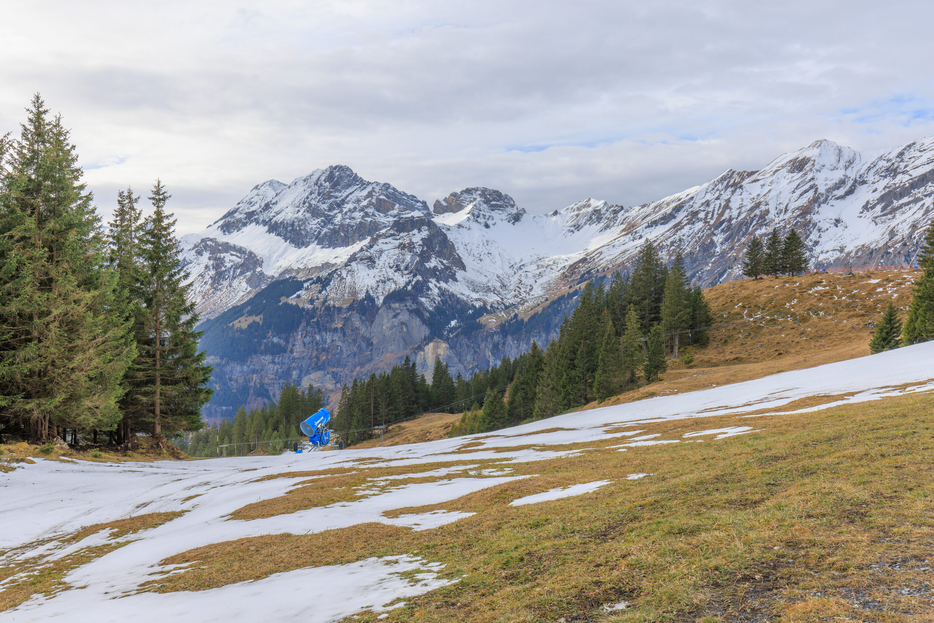
We continued on, leaving the T bar behind and spotting more idle snow making equipment.
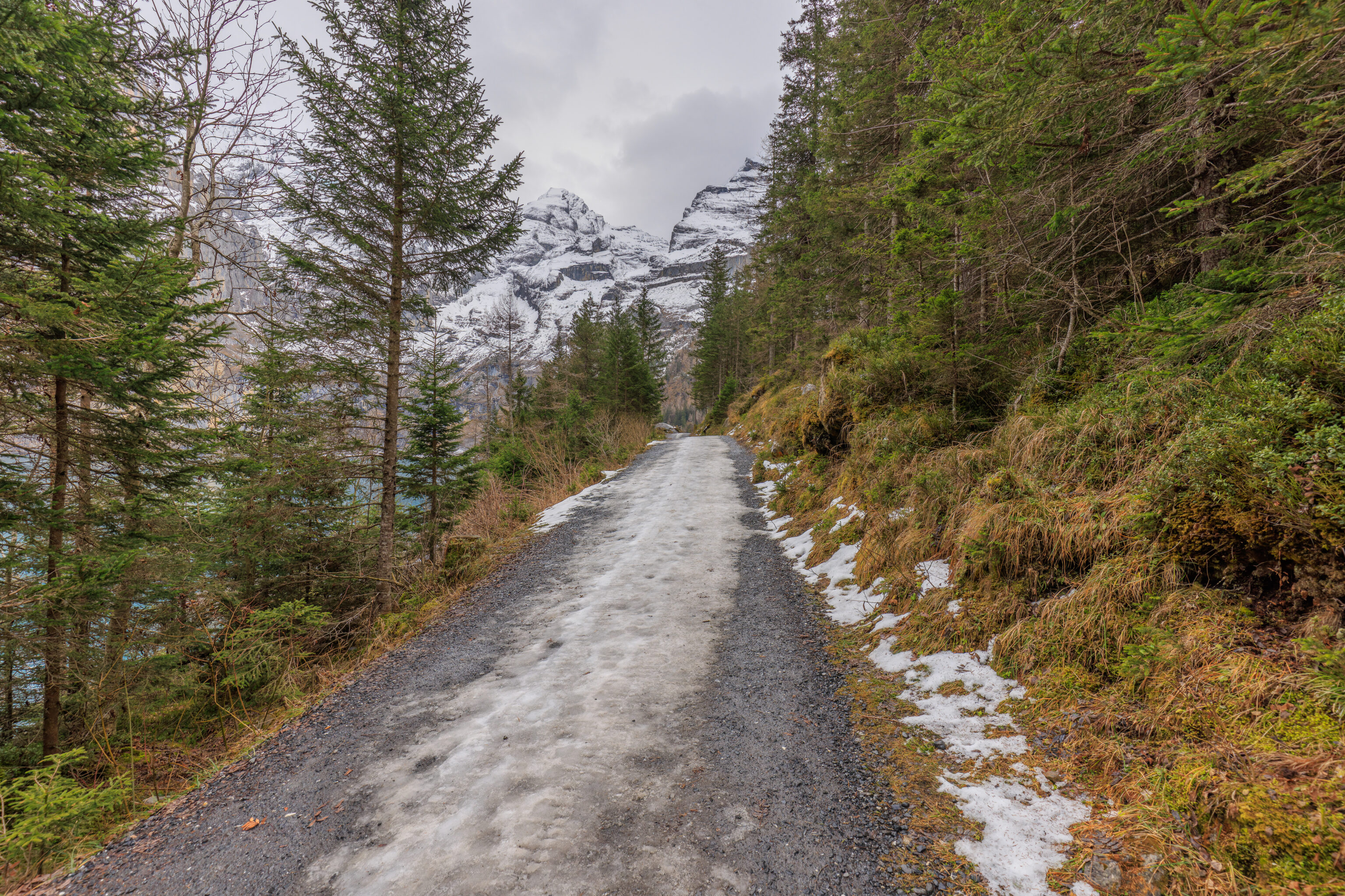
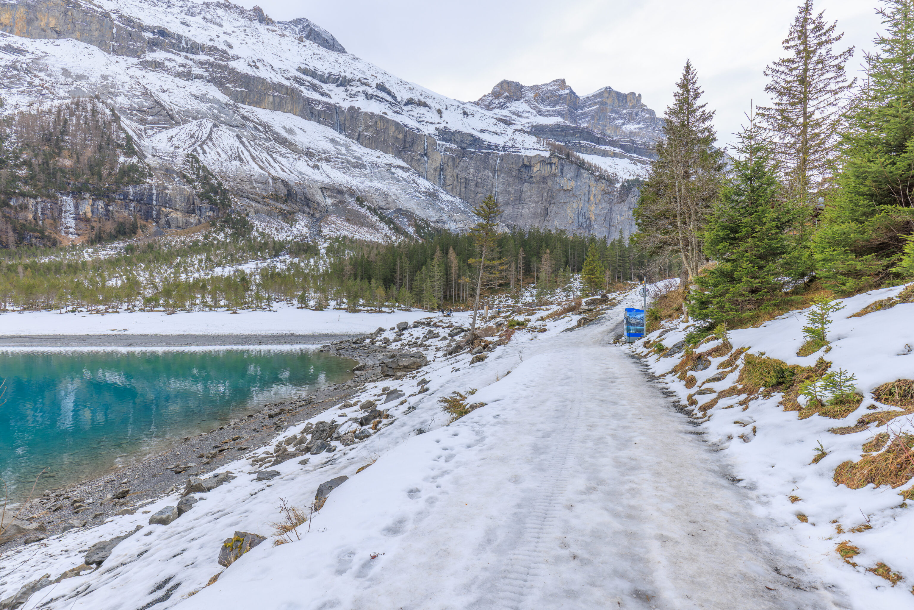
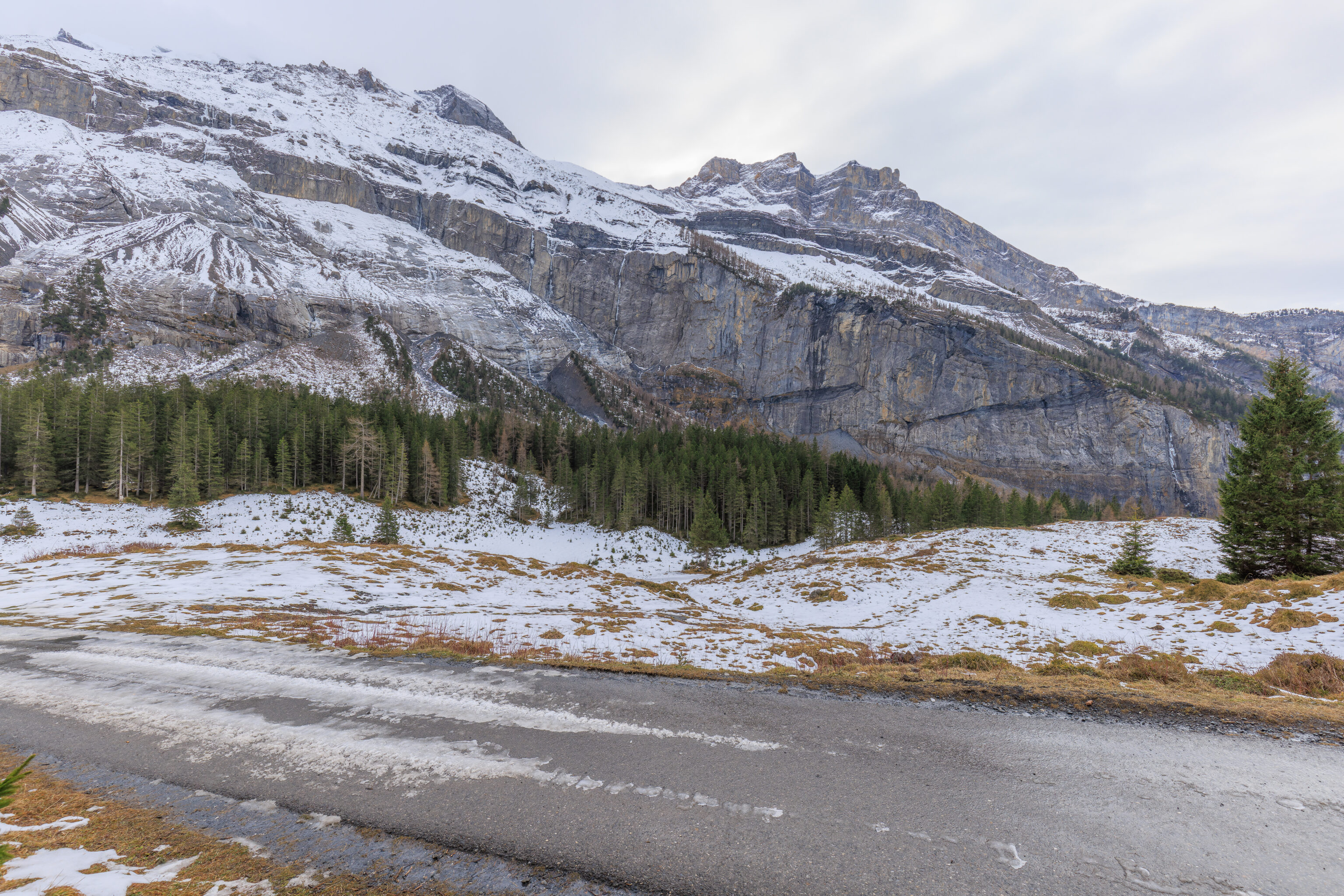
The trail that we were walking on basically alternated between snowy, icy, and clear. It seems that in some places, they had made some snow when conditions were favorable. This resulted in big piles of snow near the snow makers but less or no snow in other places.
At some point, exactly when we don’t really remember, we decided to put on our microspikes. Alternating ice and clear paved or rocky surfaces like here isn’t really great for them as the clear surfaces grinds them down. It is also a hassle to keep putting them on and taking them off in mixed conditions like these but we figured it was a good idea to just use them and leave them on.
We passed by a rope tow, which we have used before at Arapahoe Basin as they have a very short one at the top! These are much more straightforward compared to a T bar. Just grab onto the rope and don’t let go until you reach the top!
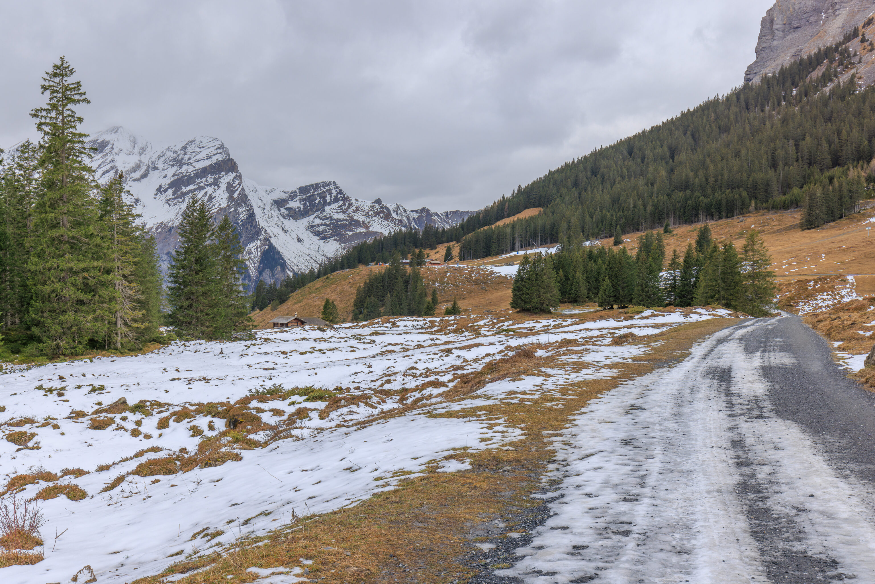
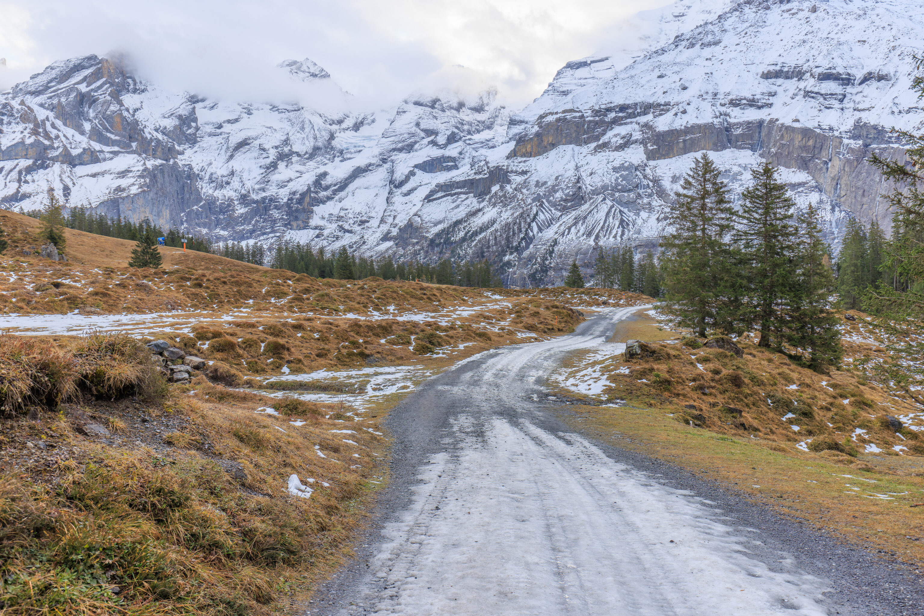
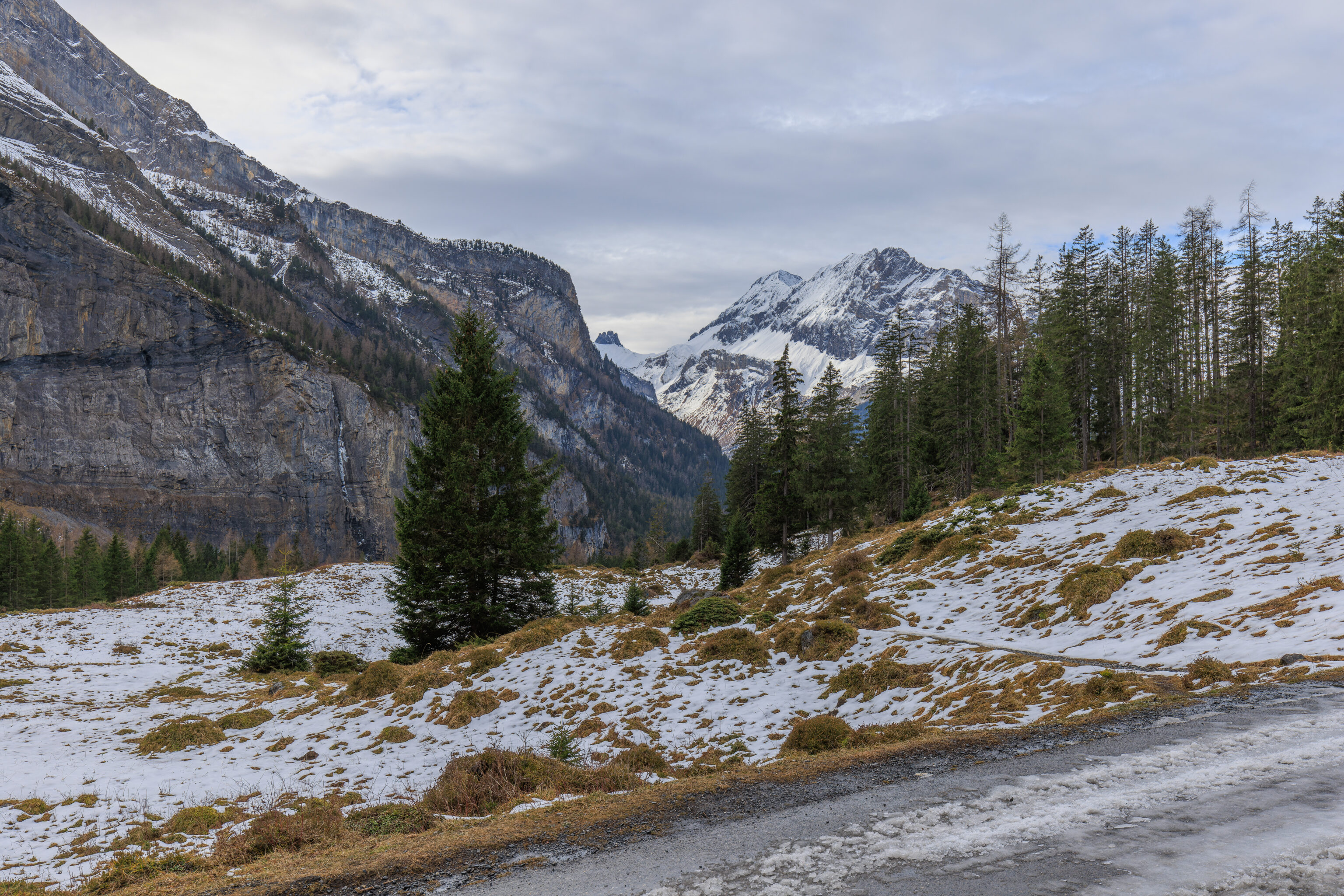
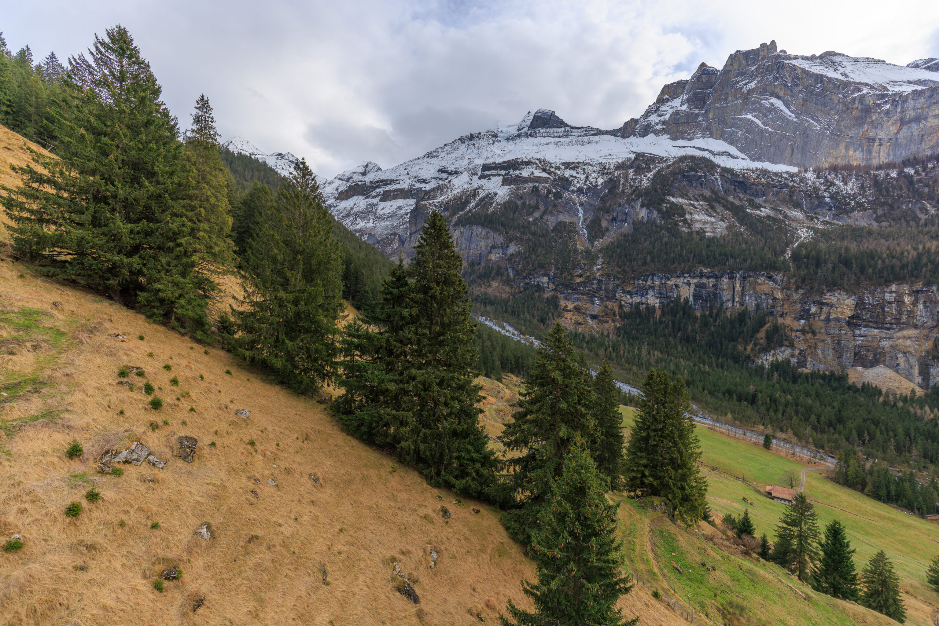
The view looking back. The path is mostly flat with some ups and downs, though the overall trend is downhill towards the lake.
We continued on, passing under another T bar.
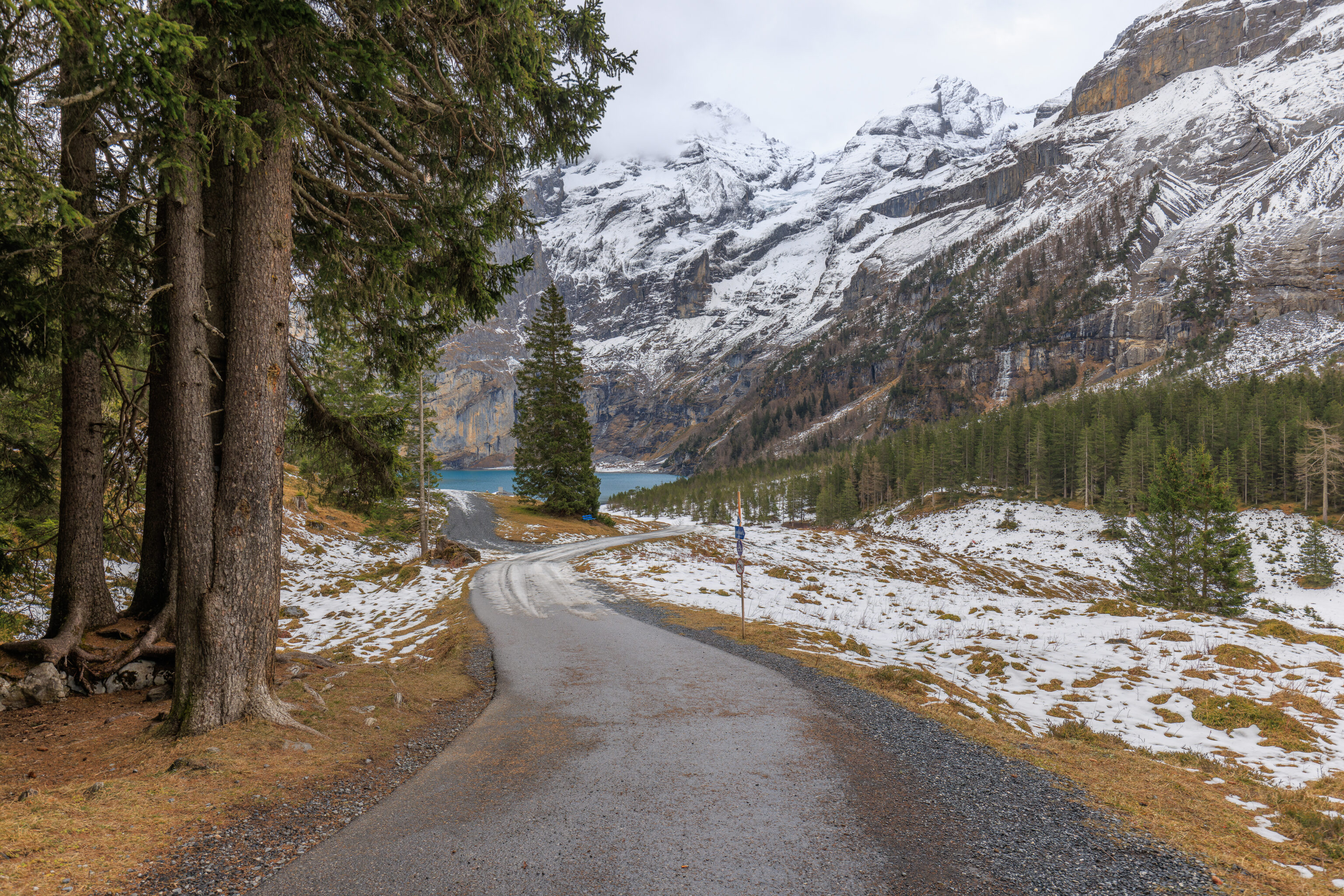
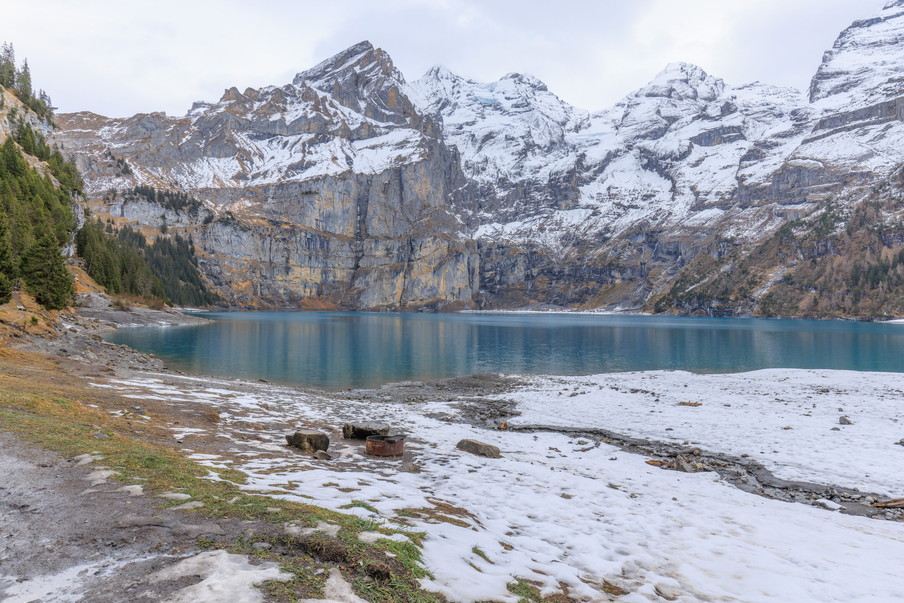
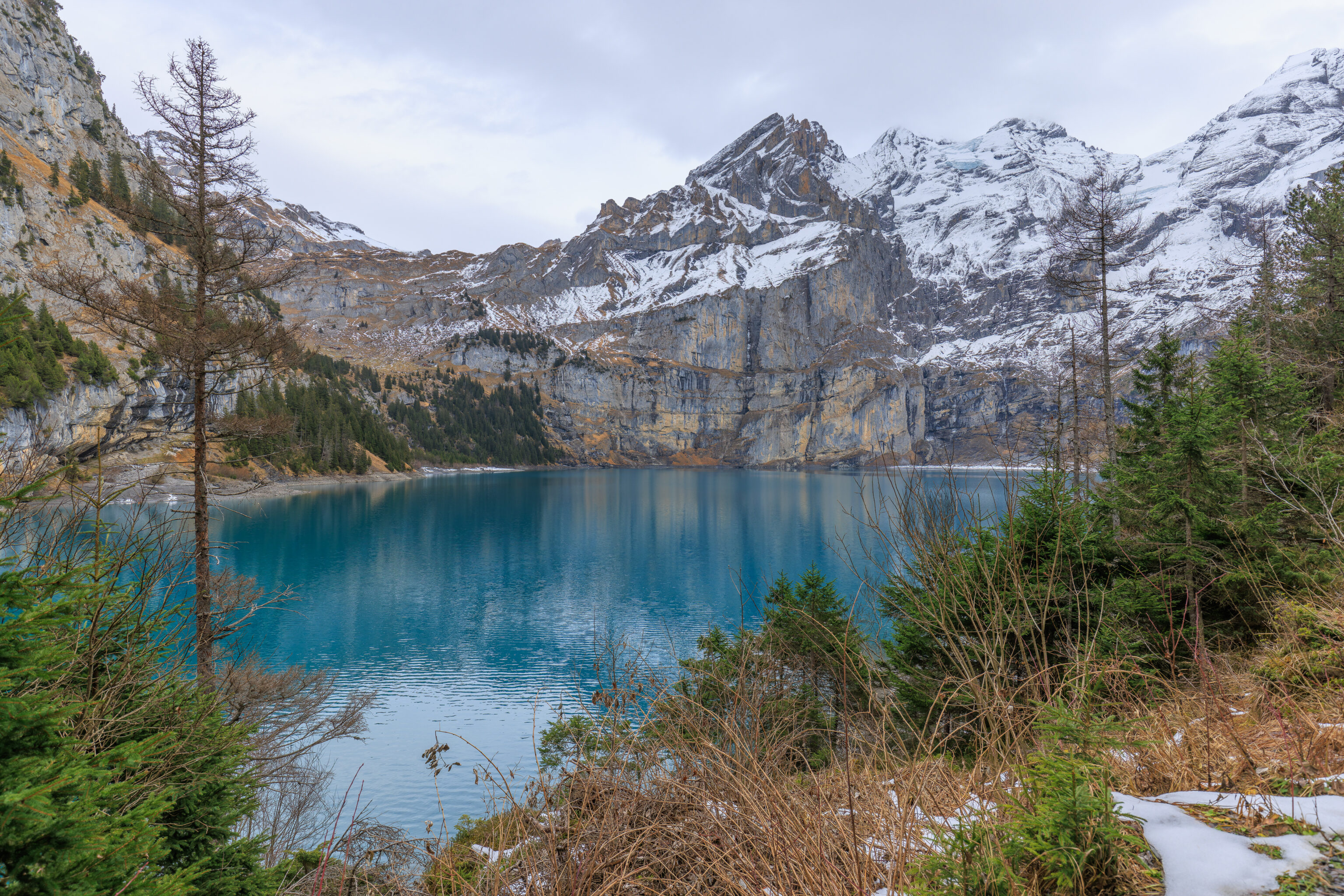
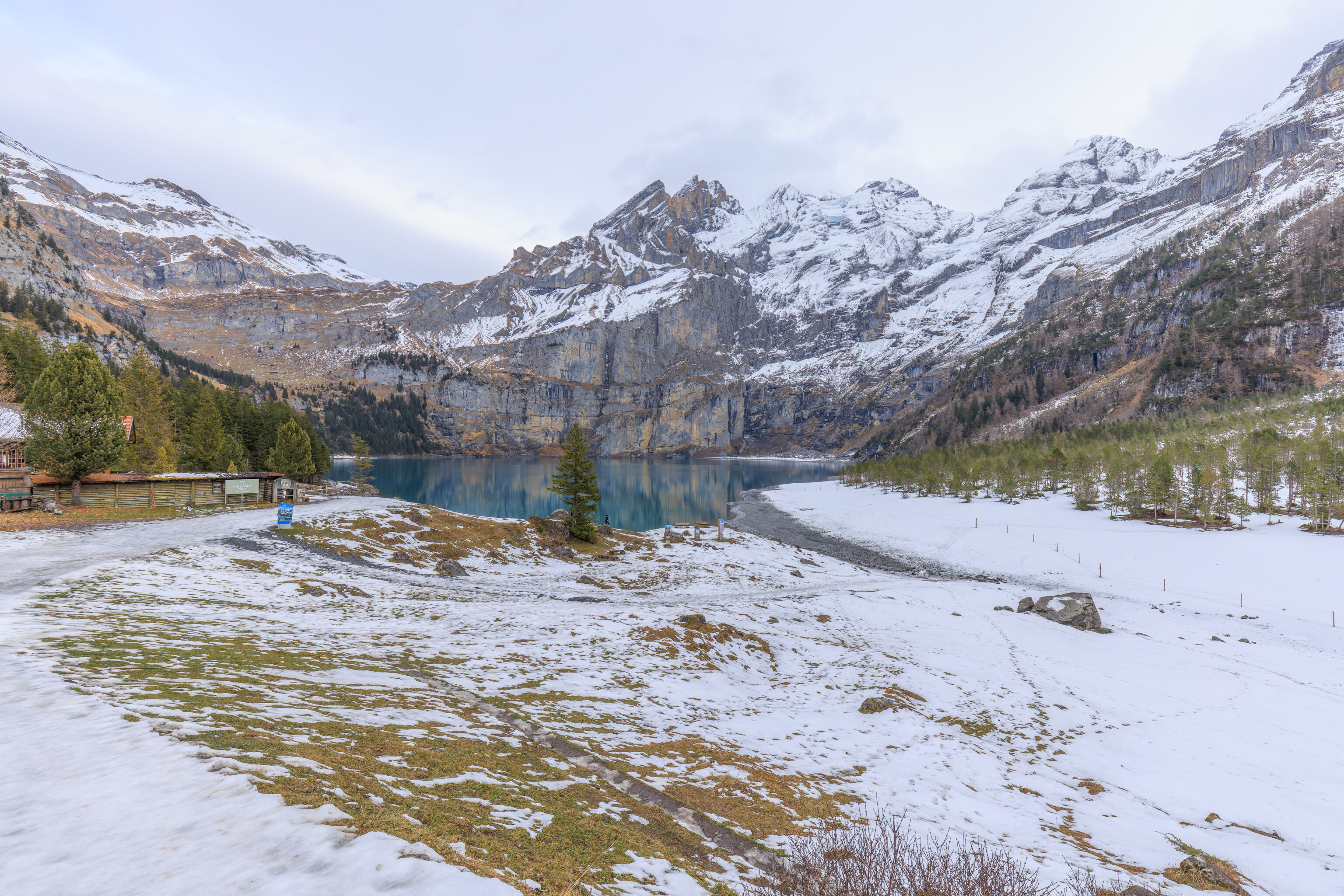
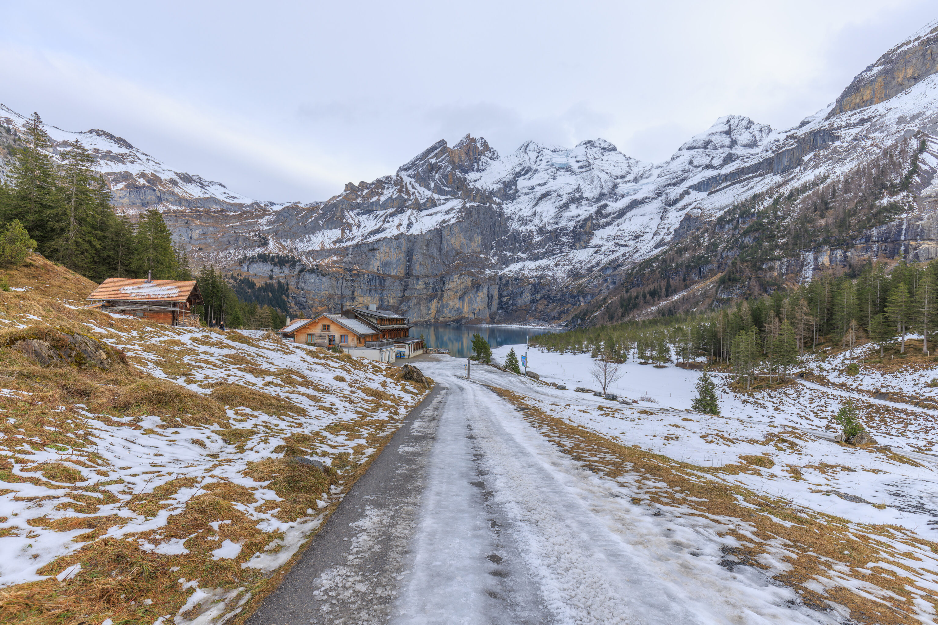
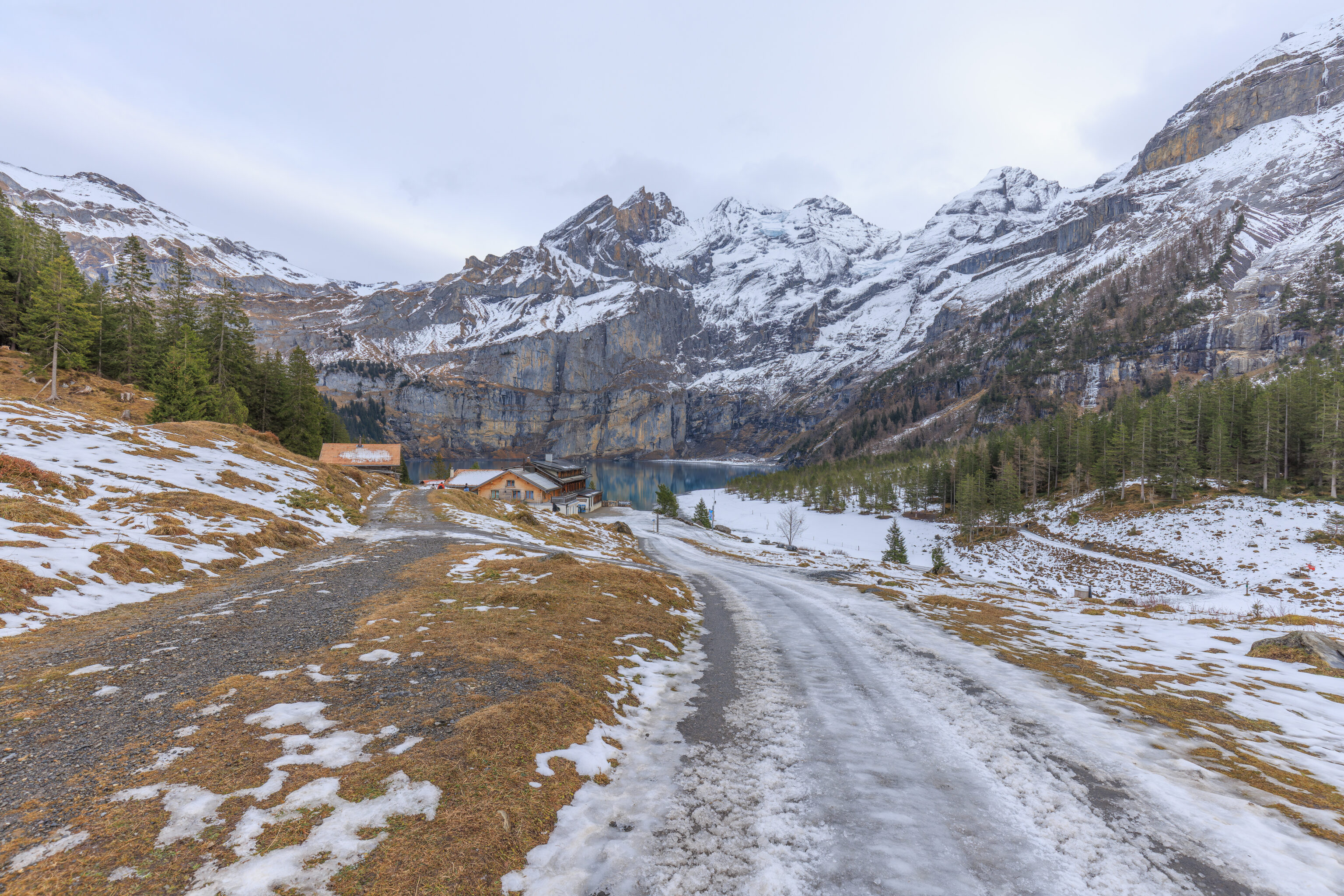
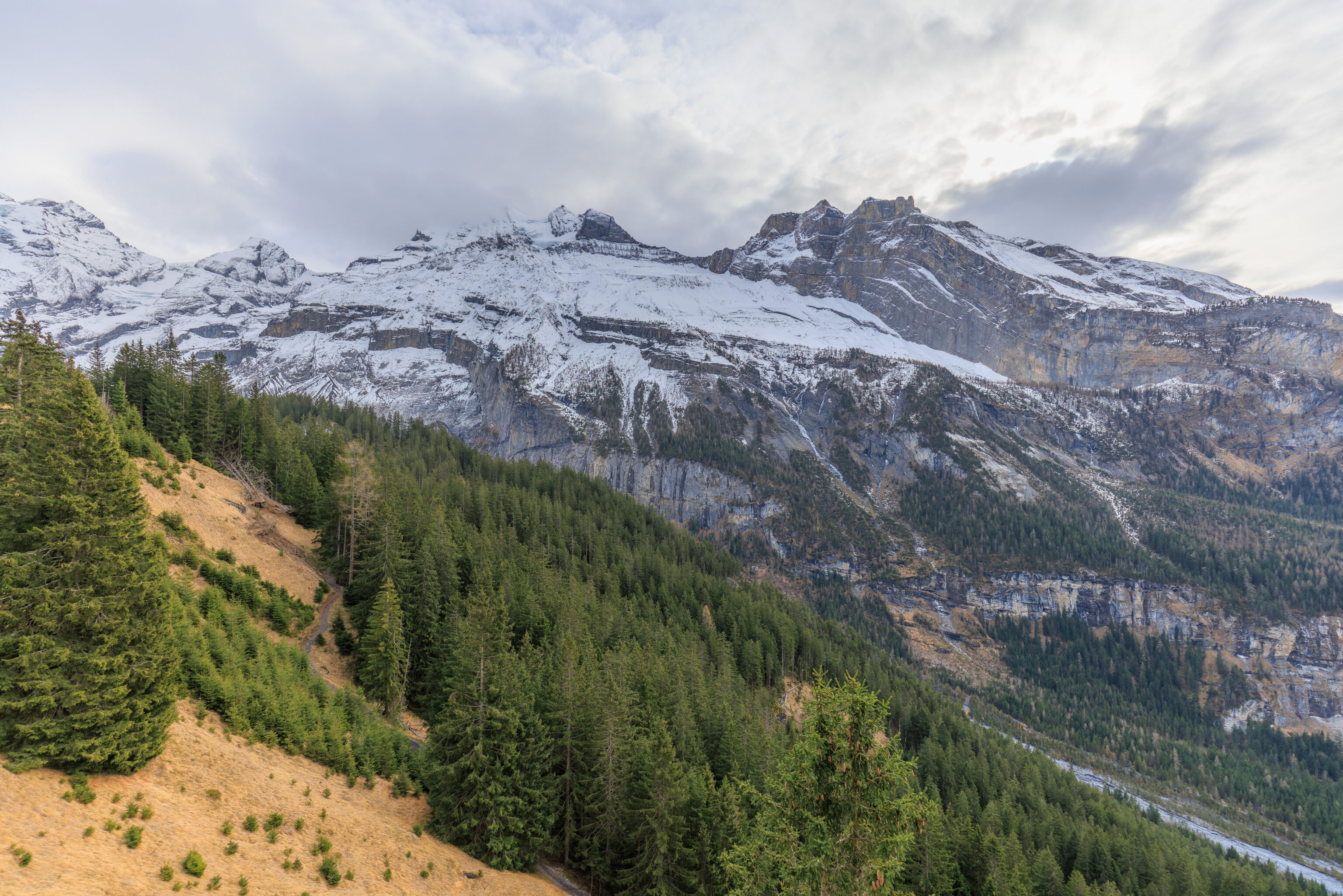
Soon, we could see it ahead of us! The Oeschinensee!
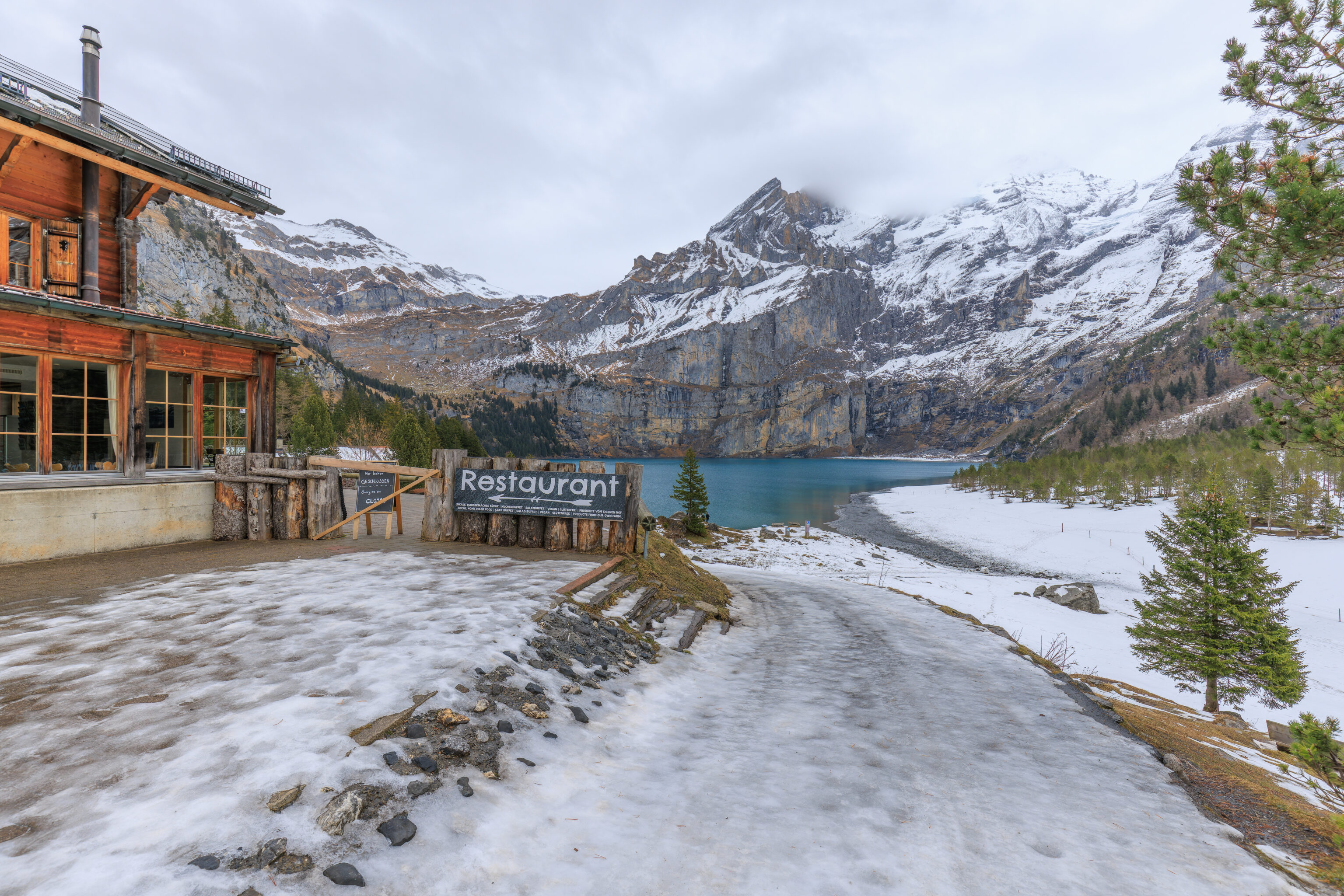
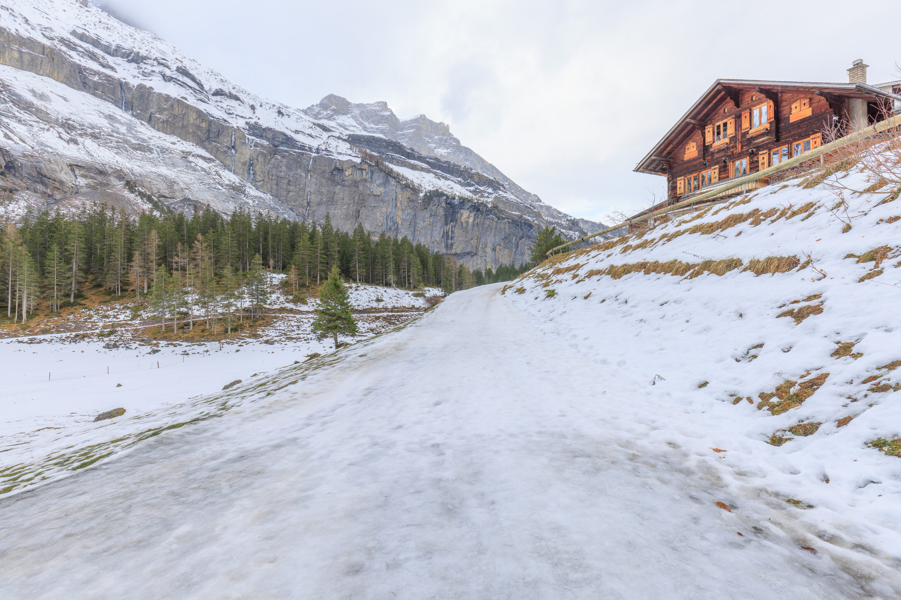
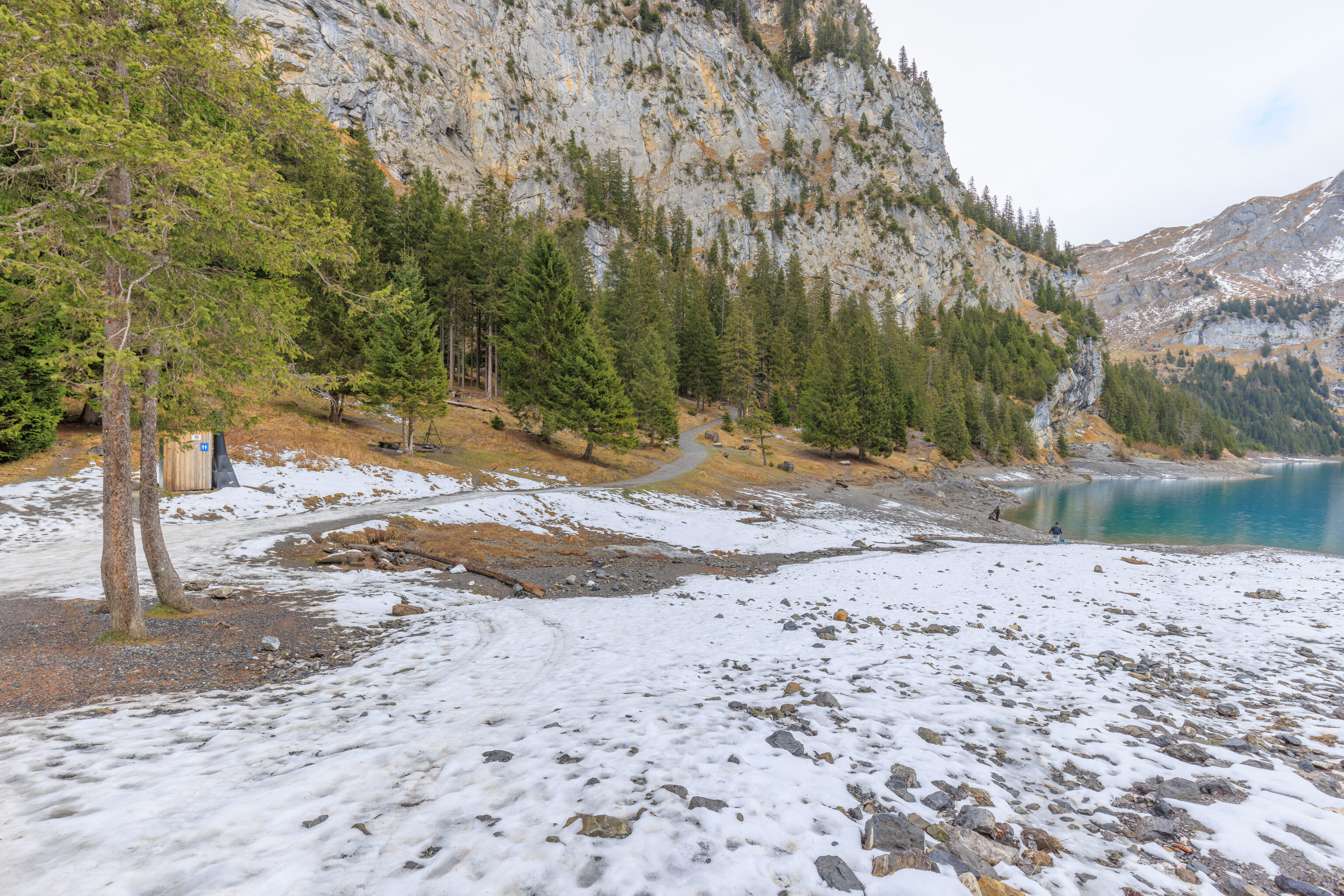
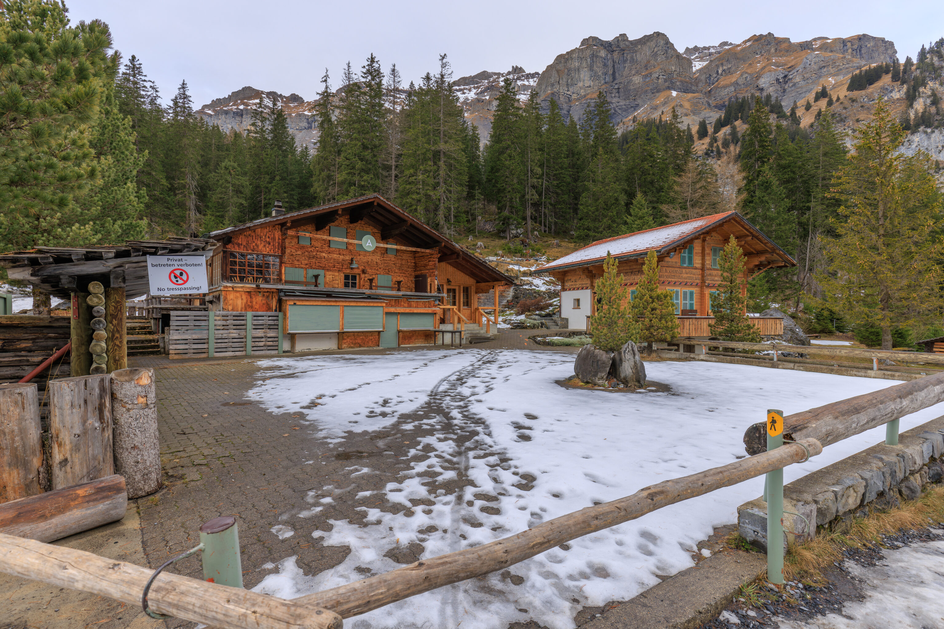
The path was pretty icy as we approached the lake. There is a restaurant and hotel, the Berghotel Oeschinensee, near the lake by the path.
We continued on past the hotel, descending down a rather icy slope. Piece of cake with microspikes though!
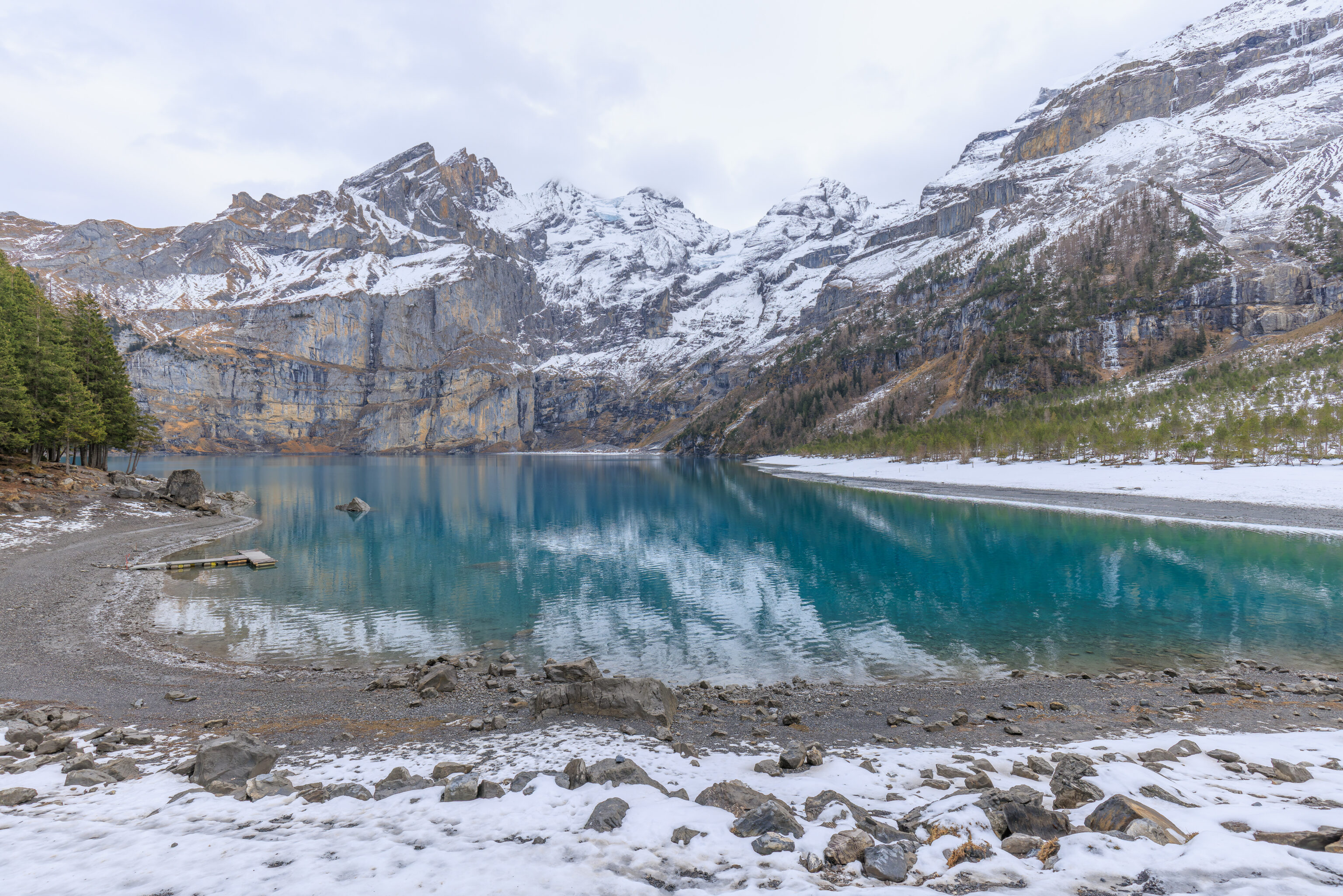
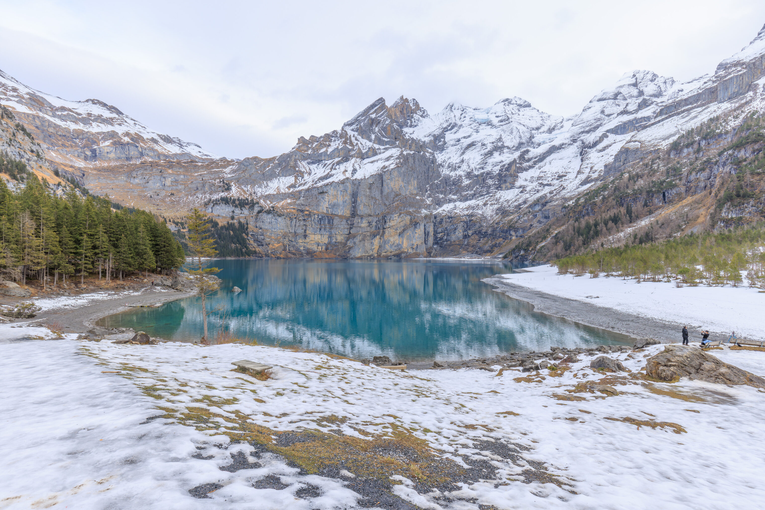
The path leveled off a bit and we had a wide view of the lake!
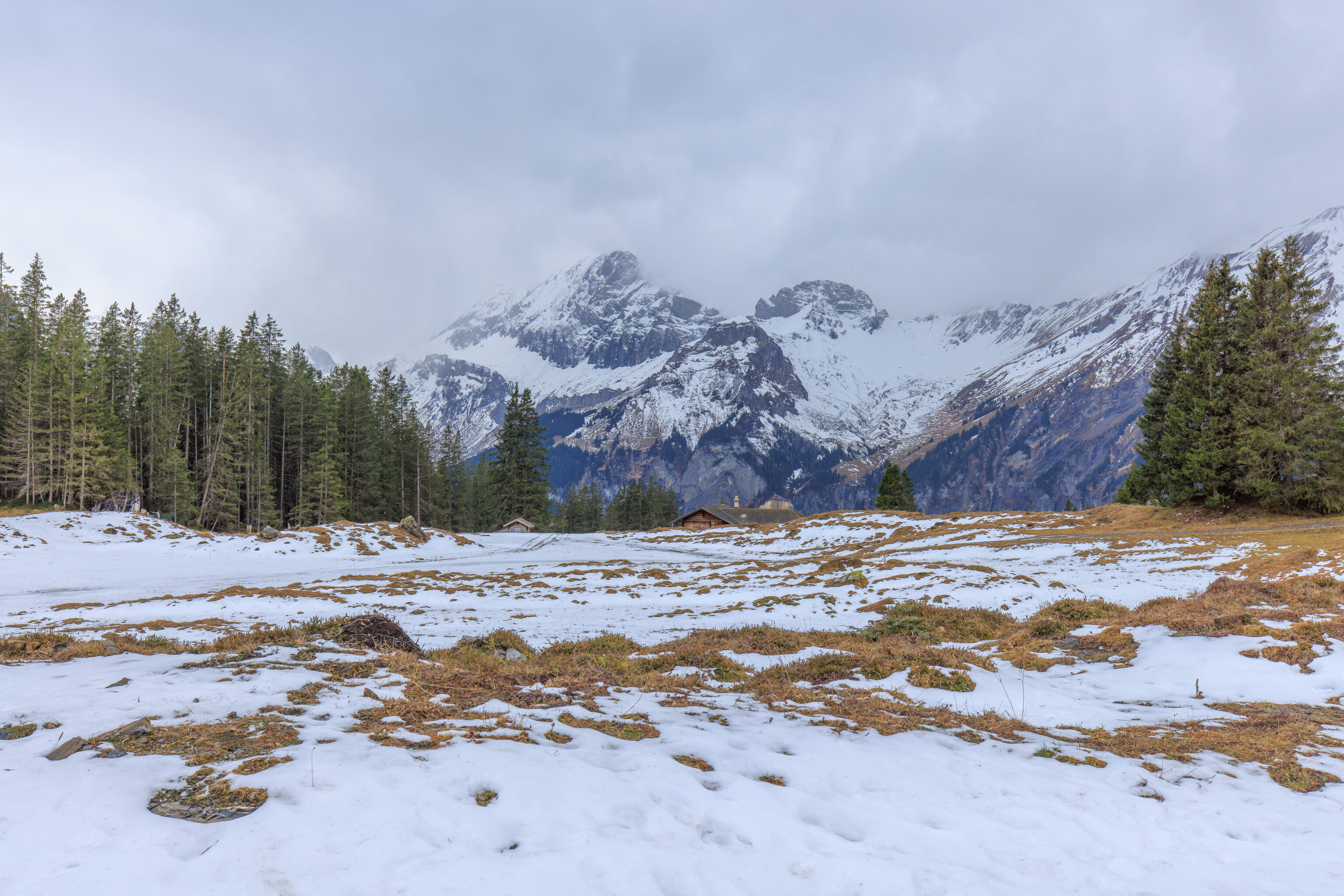
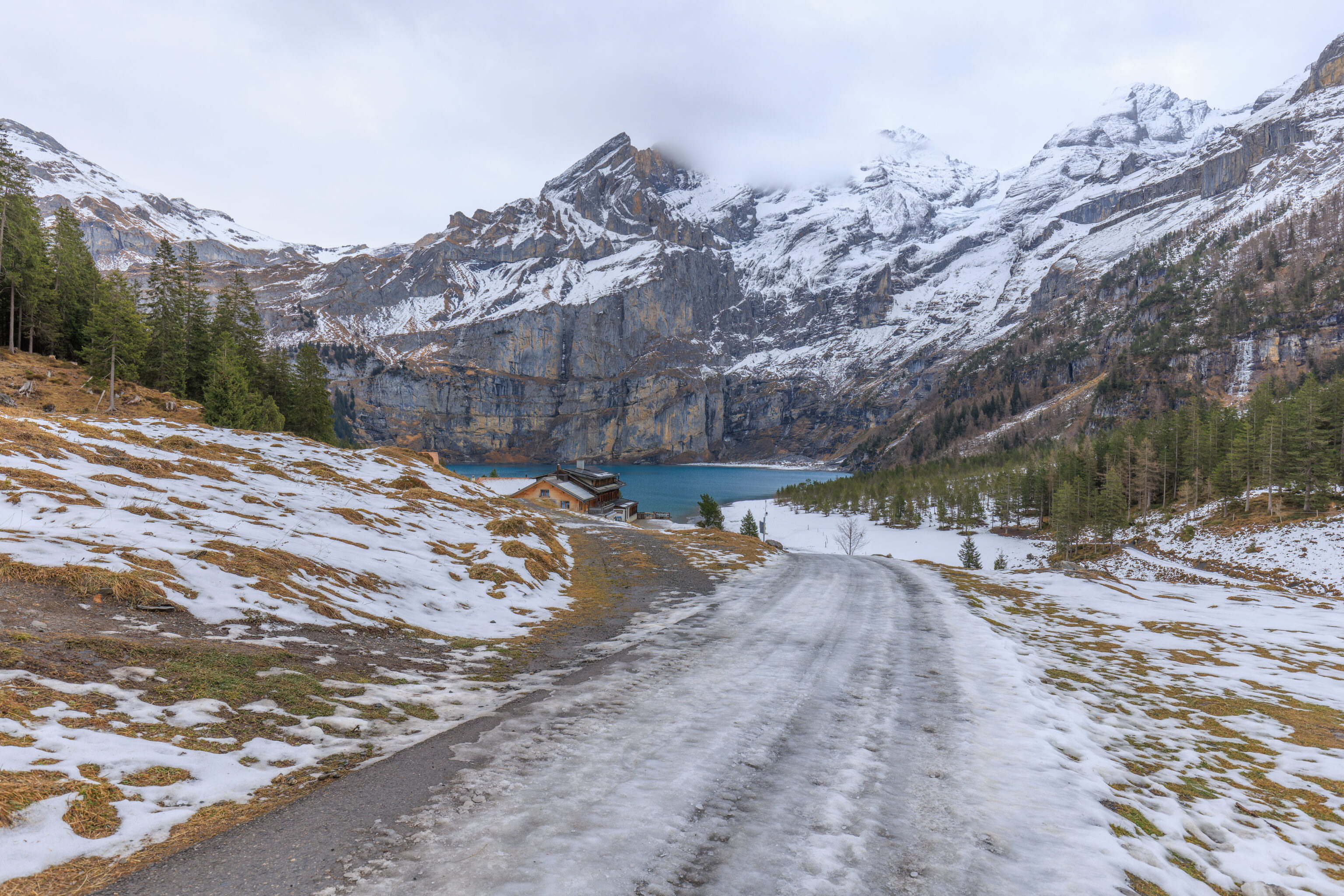
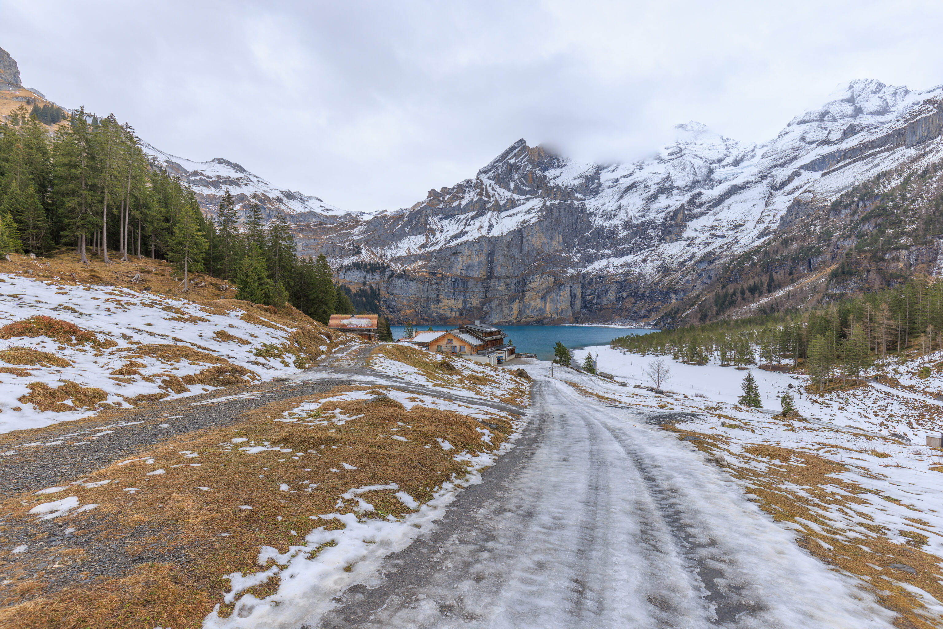
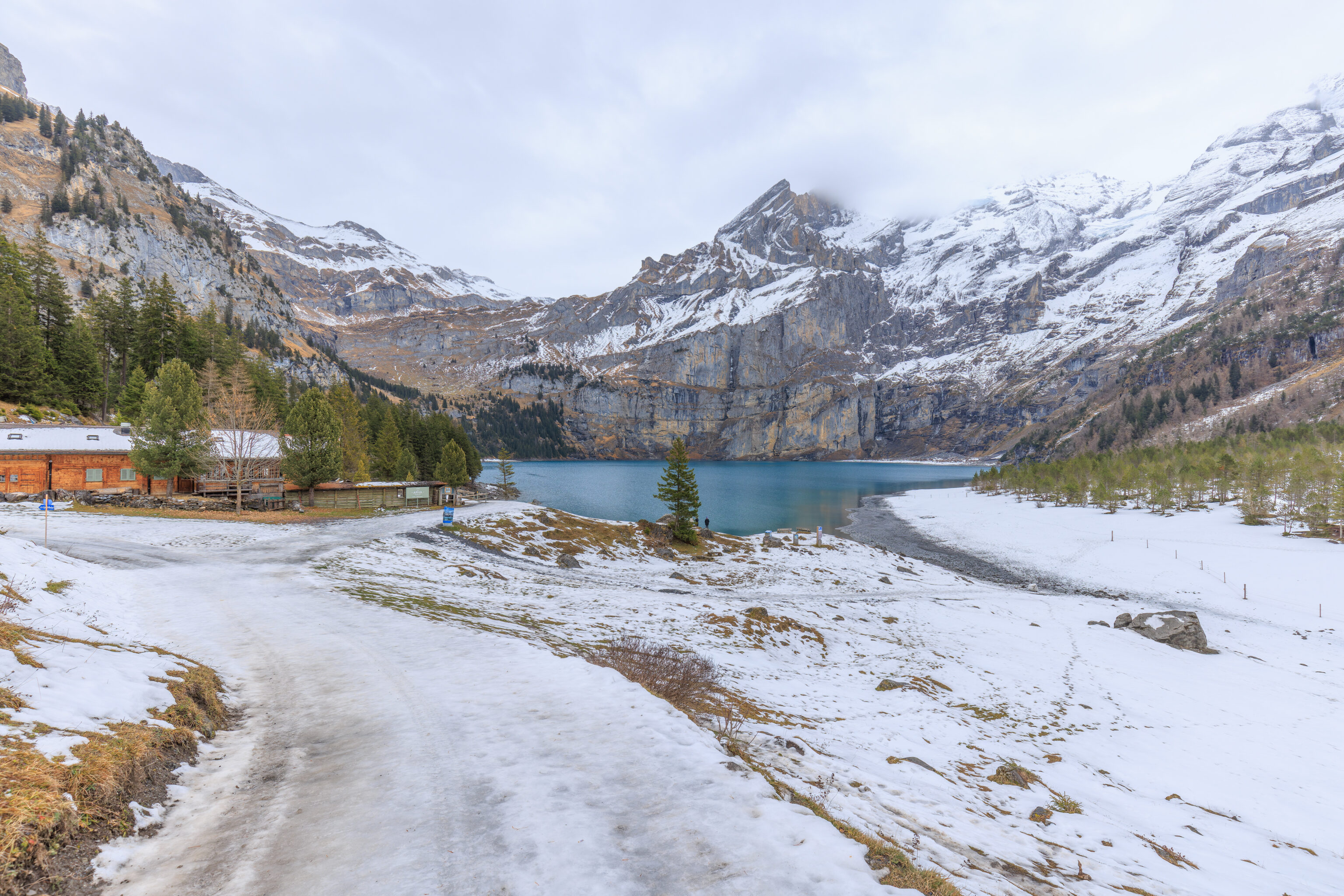
We continued on, passing by the Arva chalet, which is closed for the winter season, on our left.
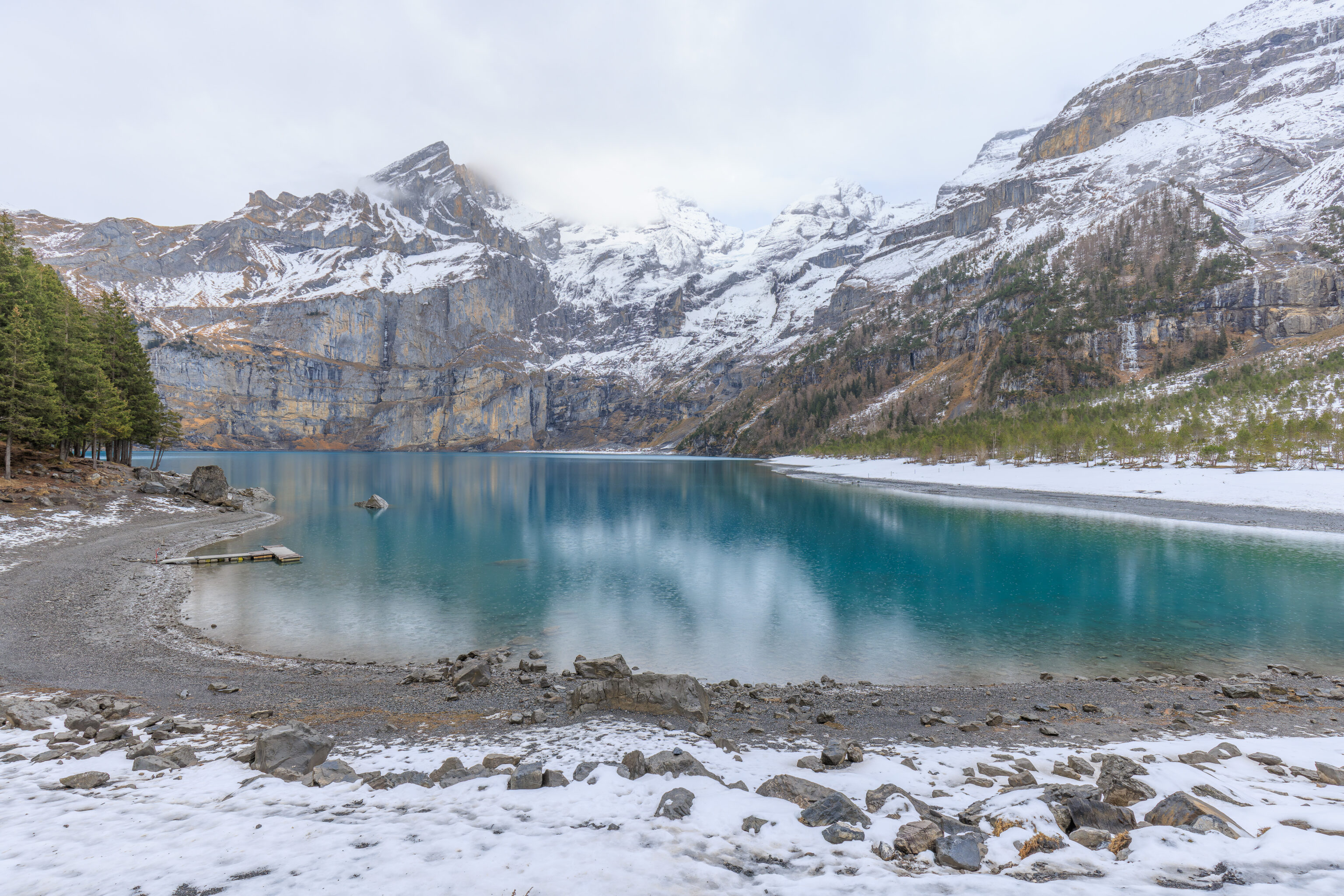
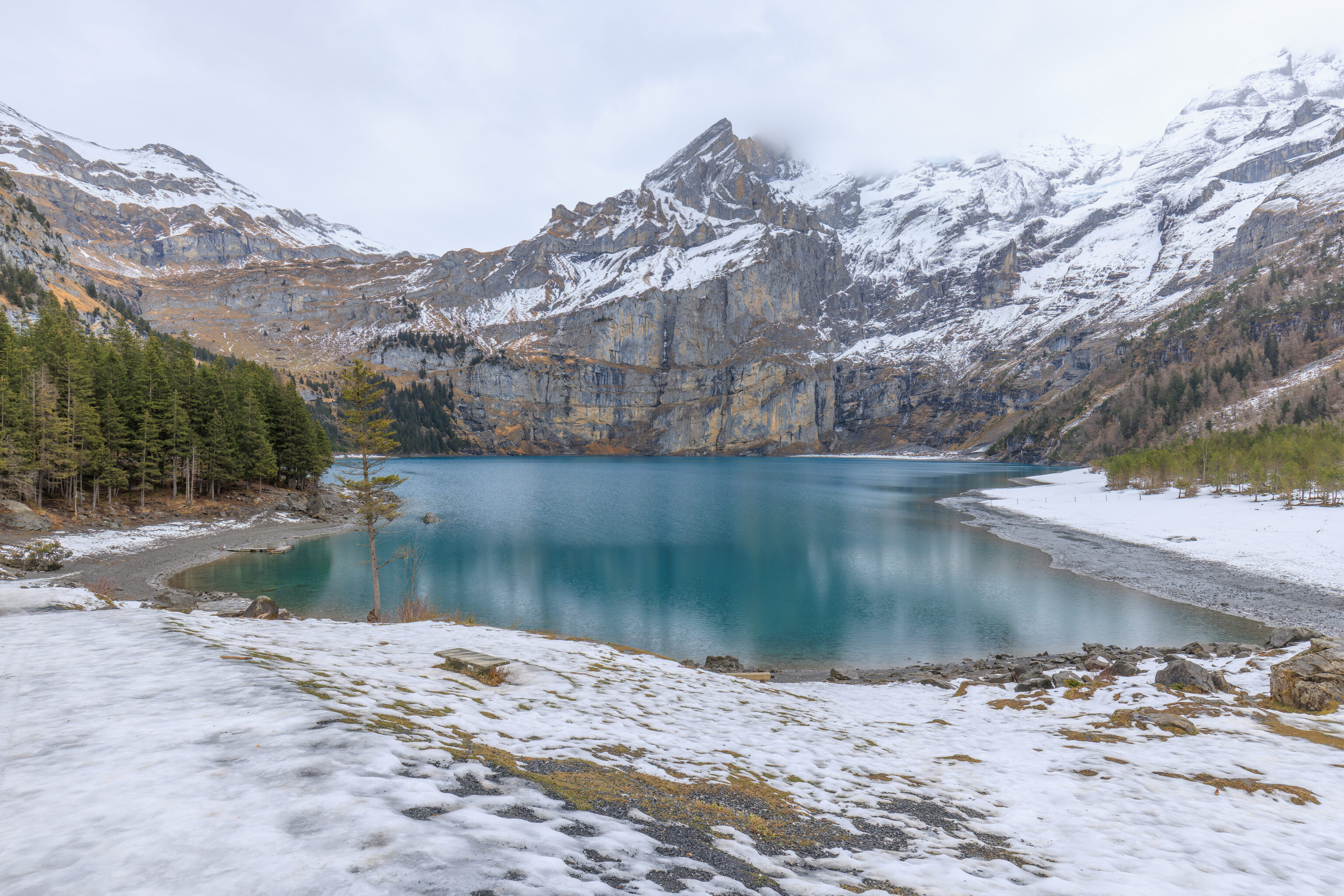
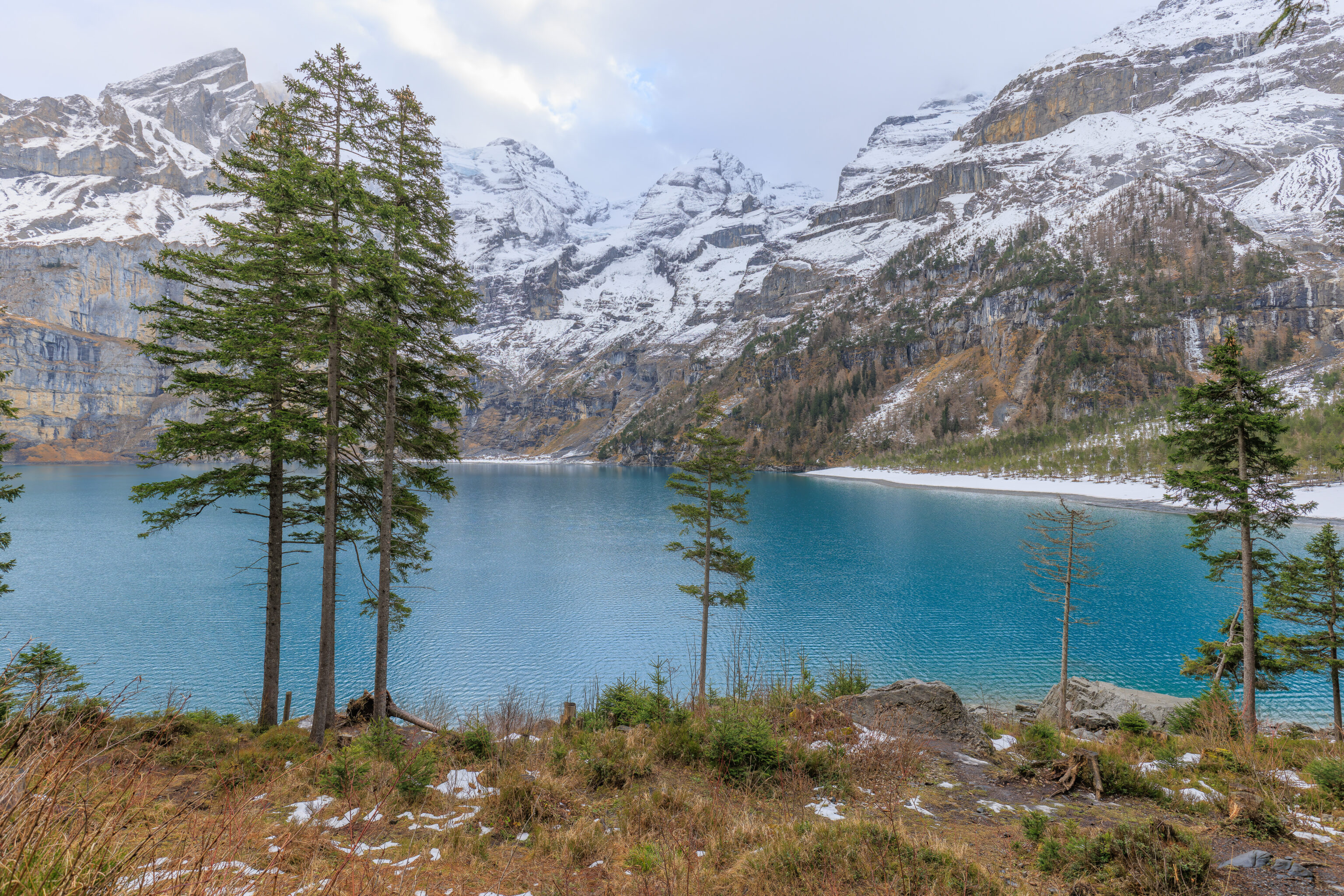
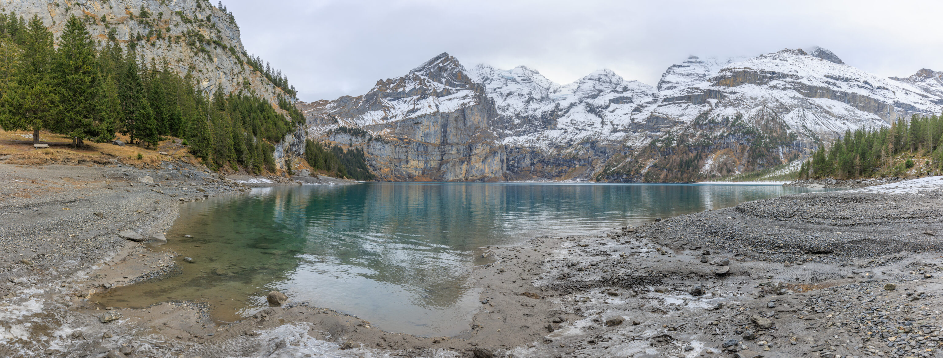
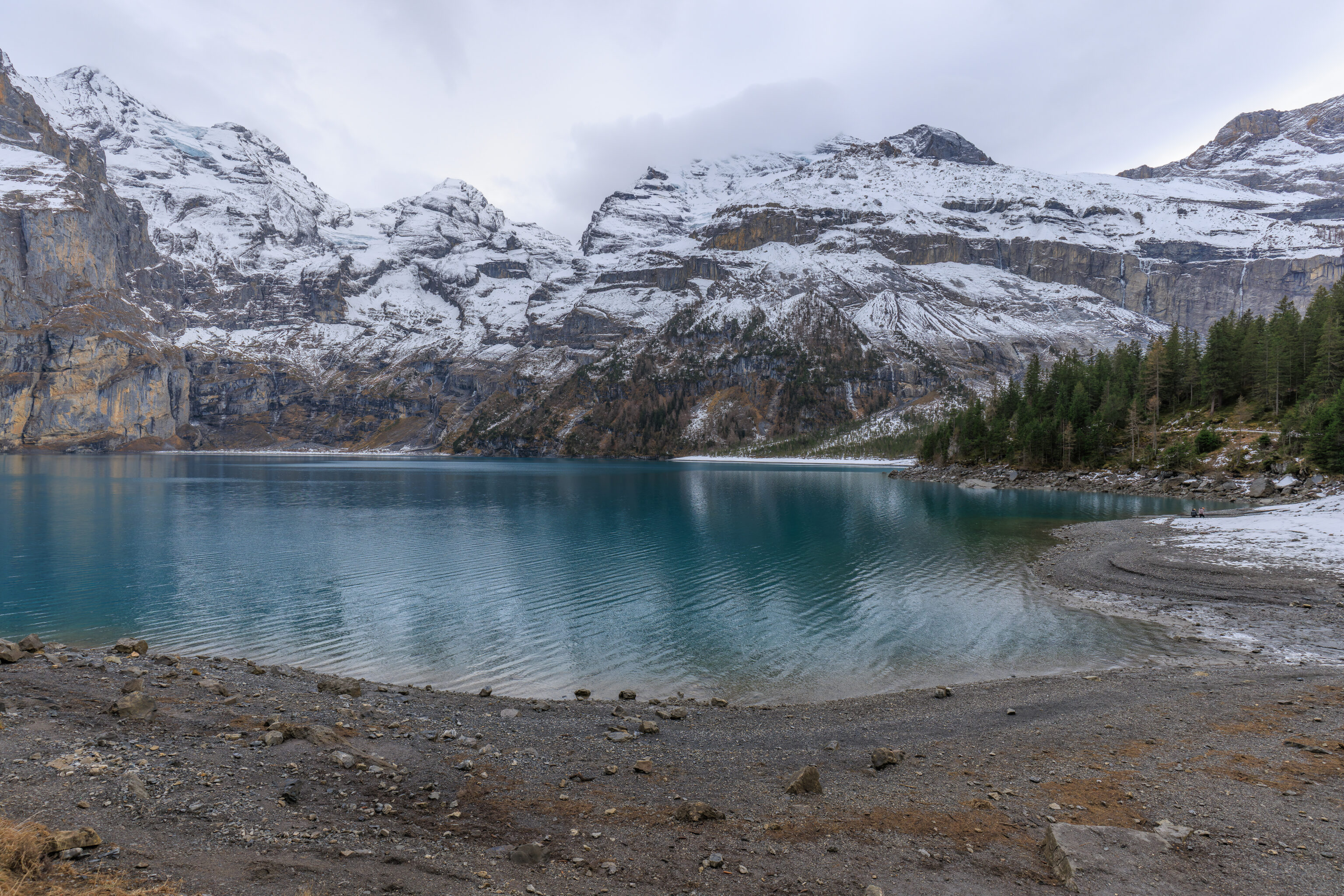
The path descended to almost lake level. The water is a beautiful turquoise color! This lake is part of the wider Swiss Alps Jungfrau-Aletsch UNESCO World Heritage Site since 2007, though it does not independently have this status.
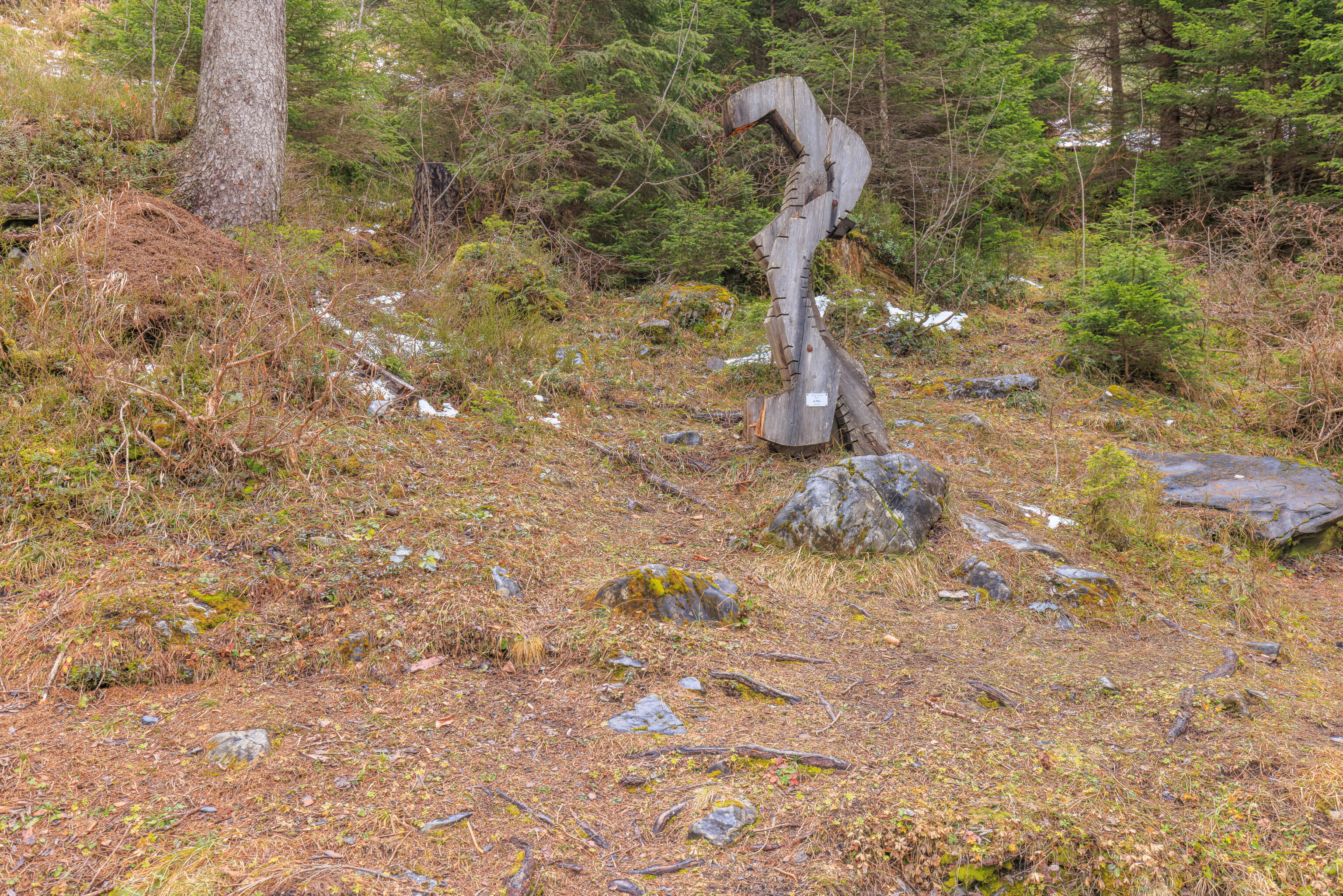
We continued to follow the trail as it headed around the west side of the lake. We came across this sculpture which seems like it is damaged.
The trail ascends a little bit above the lake, though there were ways to walk down to get to the water’s edge.
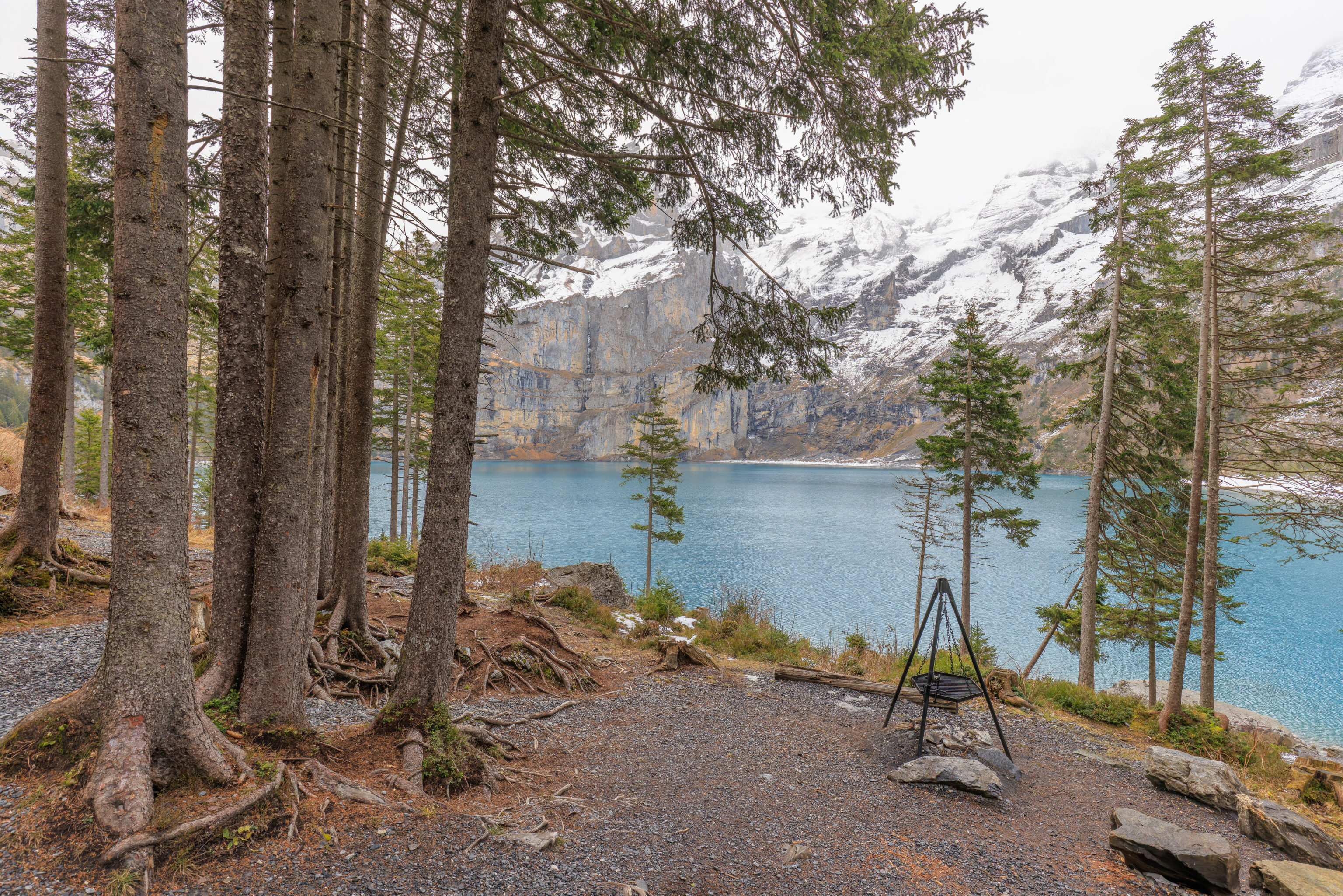
We came across a small rustic grilling area.
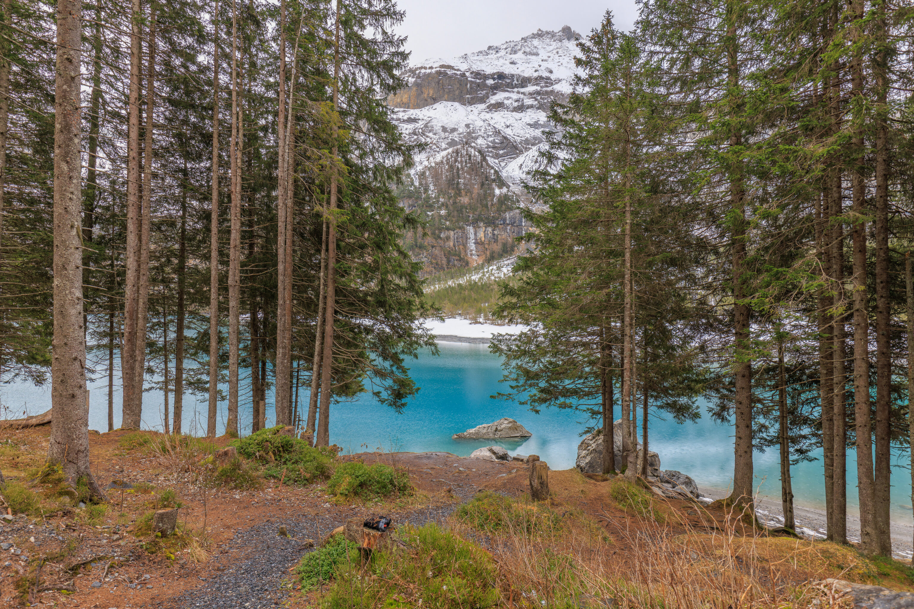
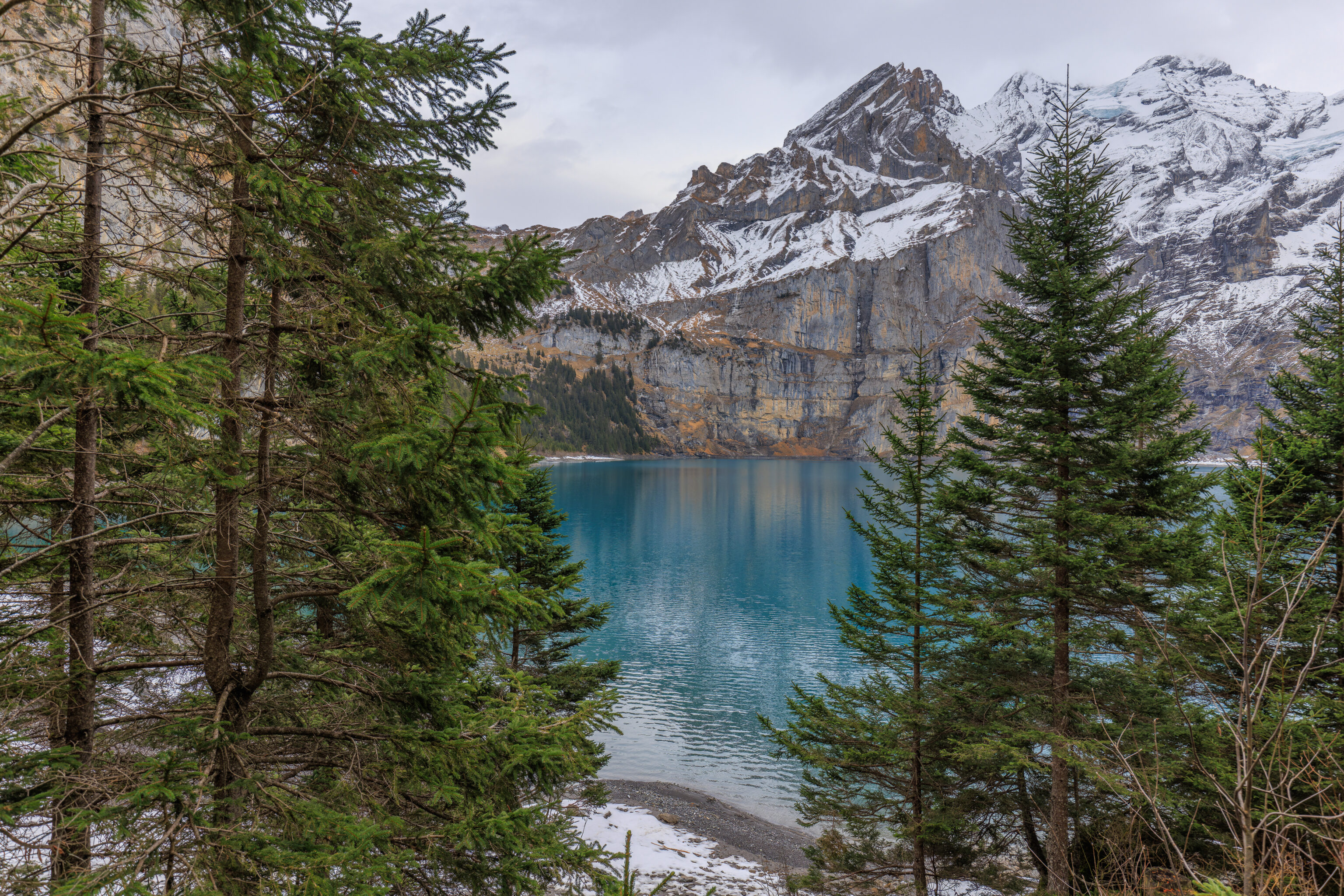
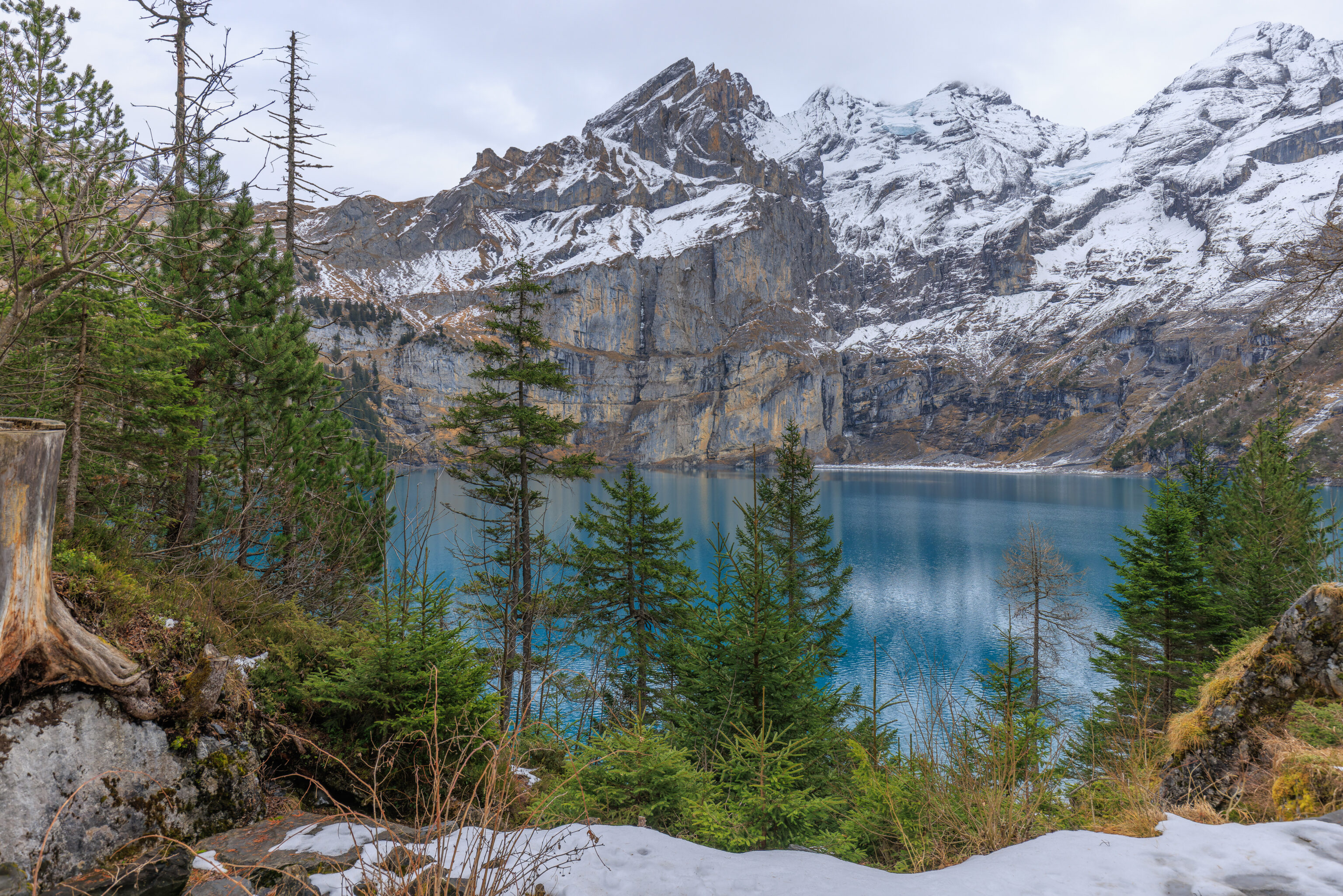
We continued walking, enjoying the beauty of the lake on our right through the trees.
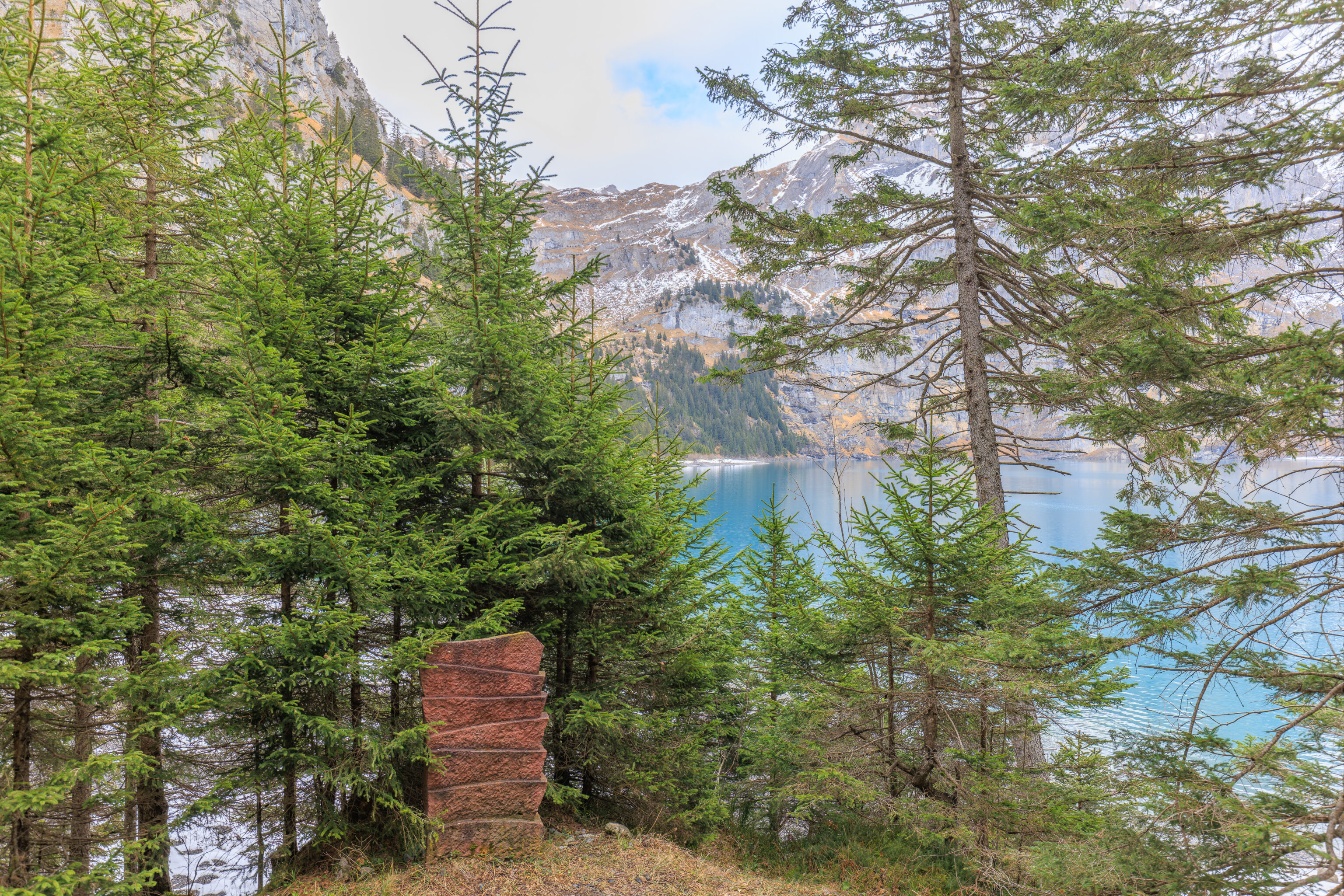
This seems to be another work of art of some kind.
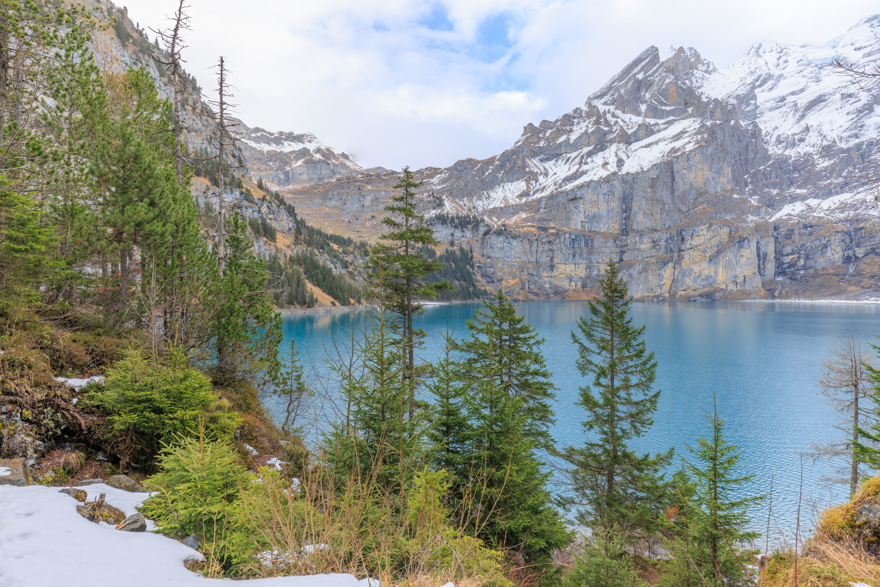
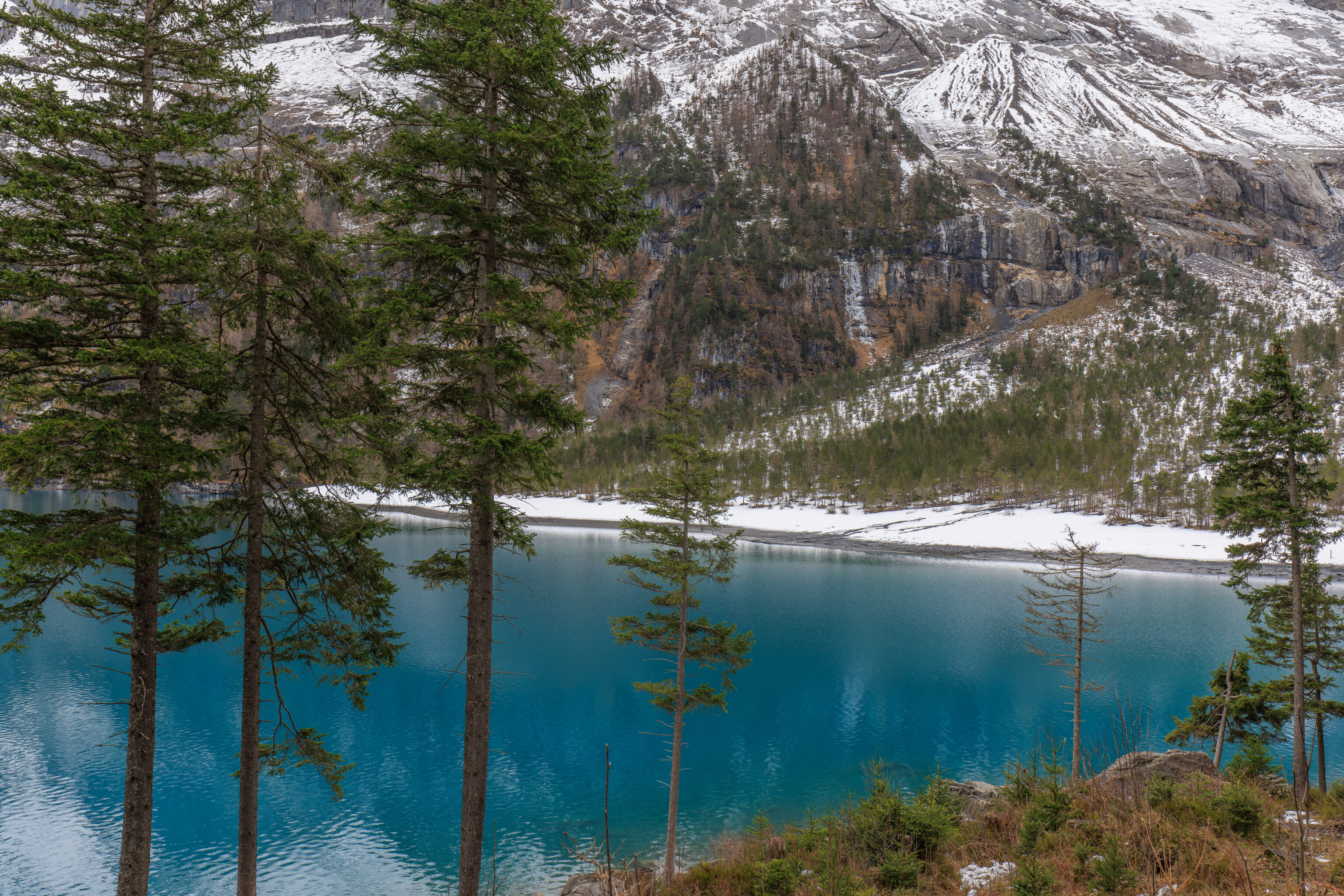
We soon reached the northwestern edge of the lake. Beyond here, the trail starts to climb up into the mountains. It ultimately leads to the east side of the lake as well as up the mountains beyond. We did see three people here, probably locals who seemed to be fishing.
We walked to the edge of the lake to take a closer look.
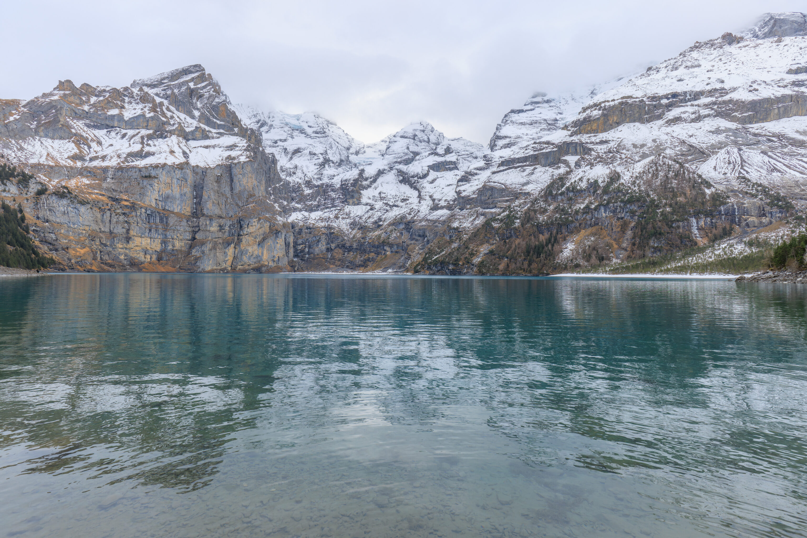
It was pretty tranquil and the lake’s surface was relatively calm, though not perfectly flat. We heard birds as well as the sound of occasional small avalanches, though we never visually saw them.
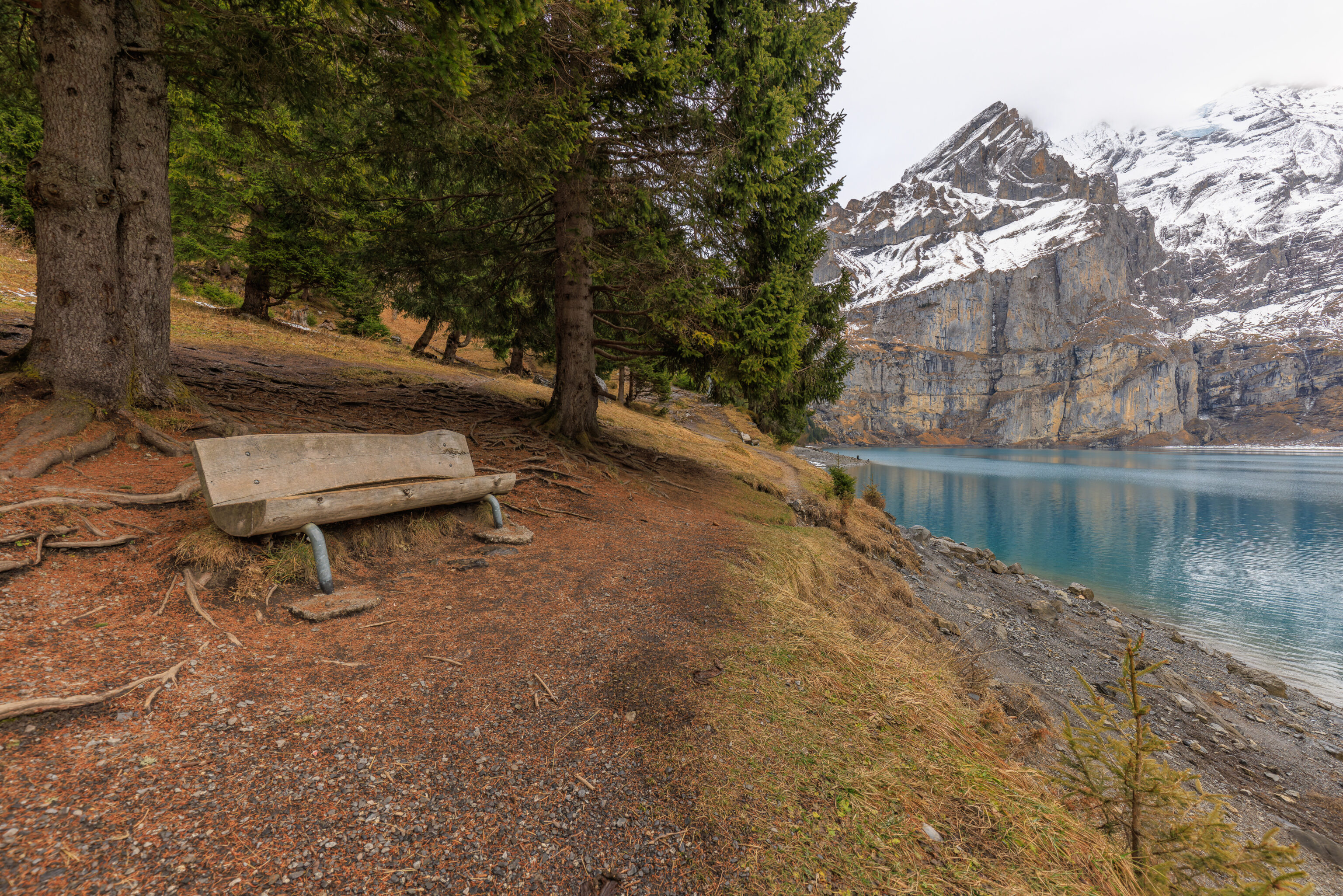
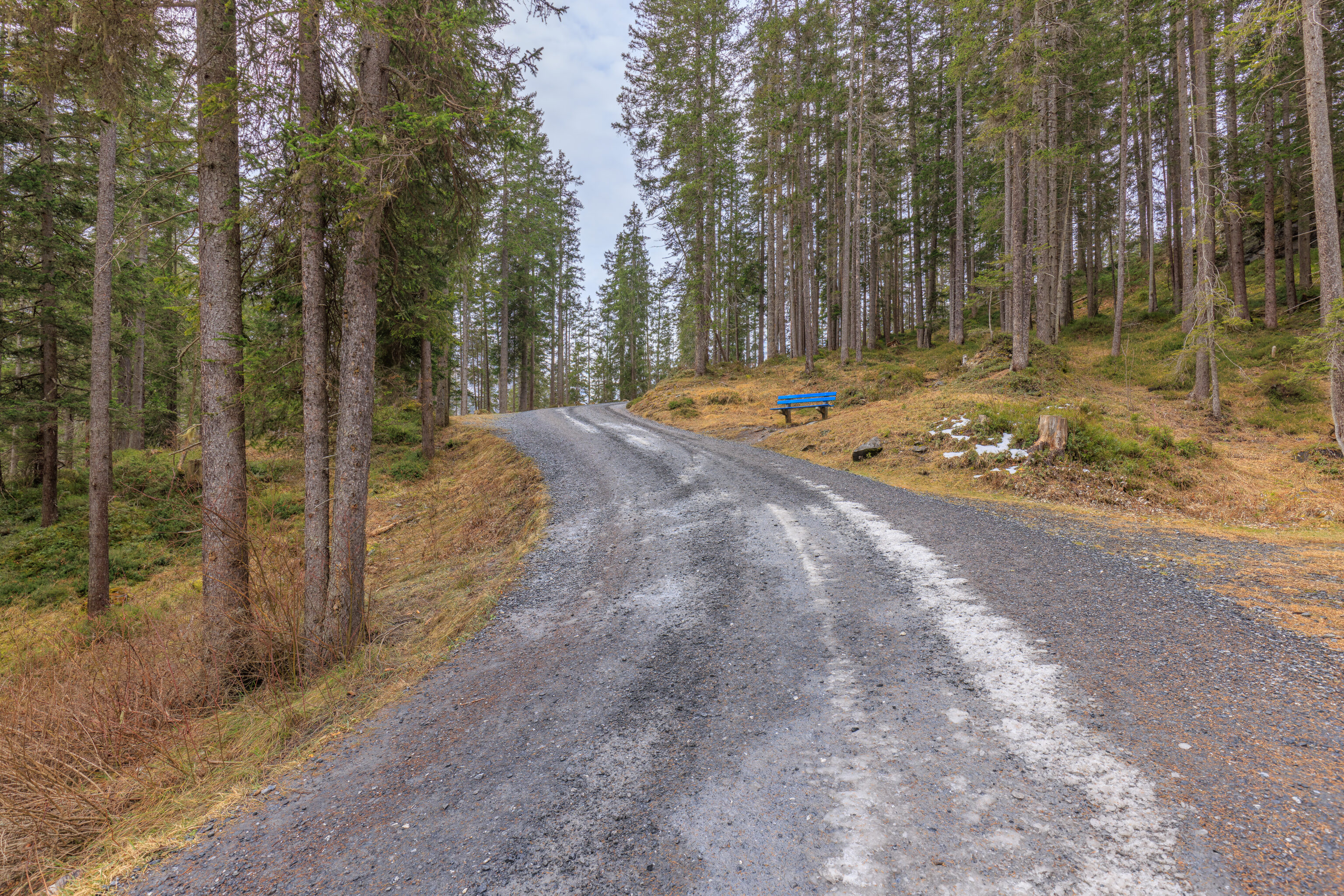
We walked up to this bench to sit for awhile.
We recorded some video of the scene at the lake.
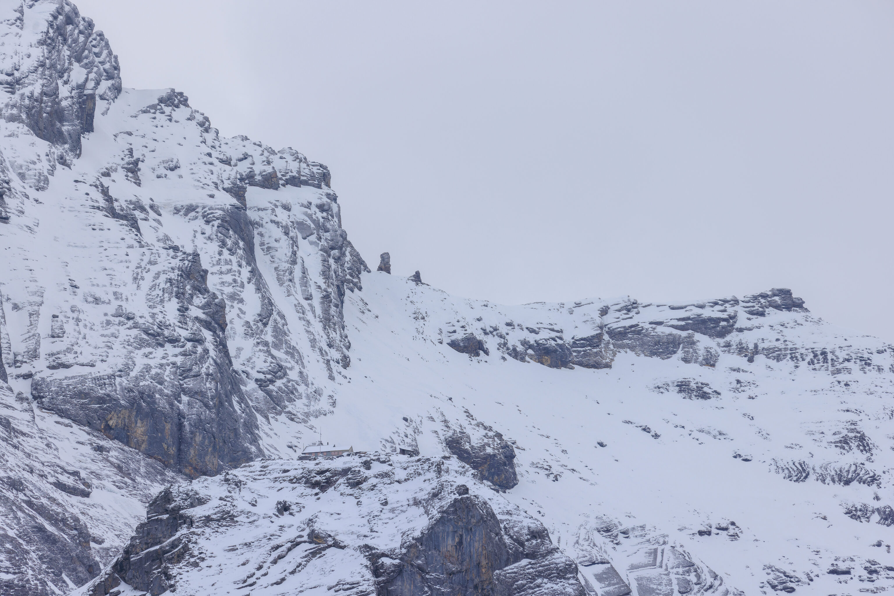
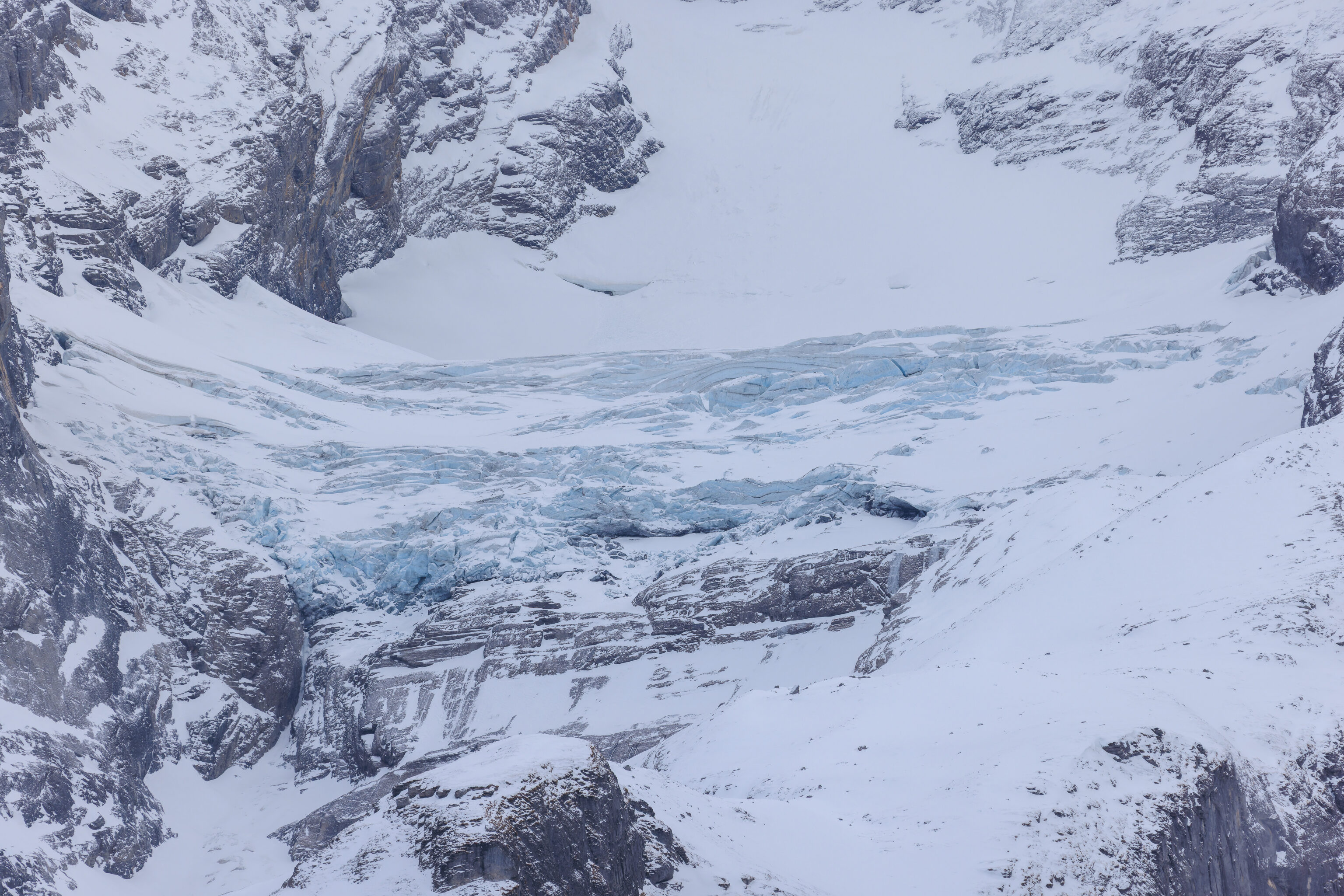
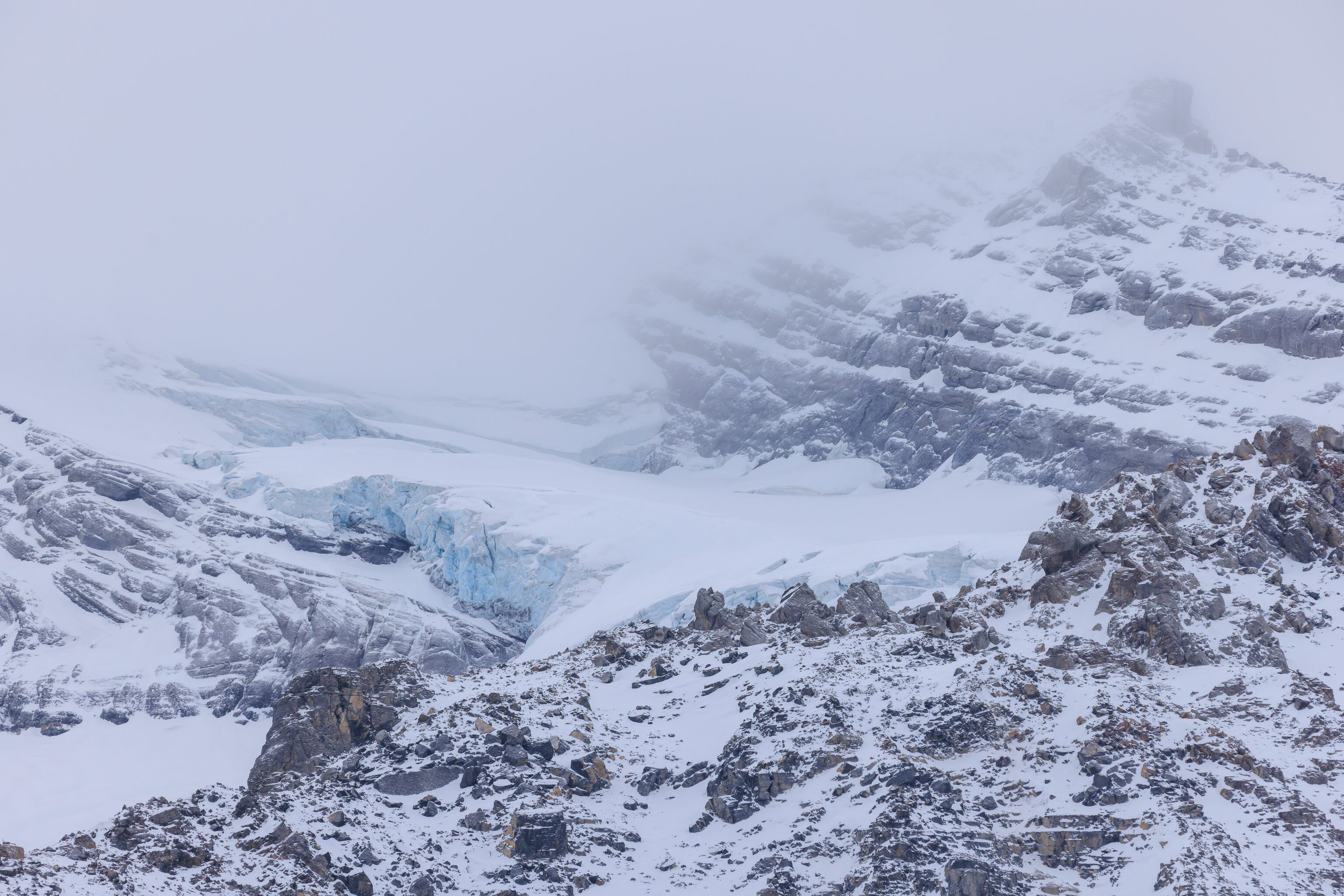
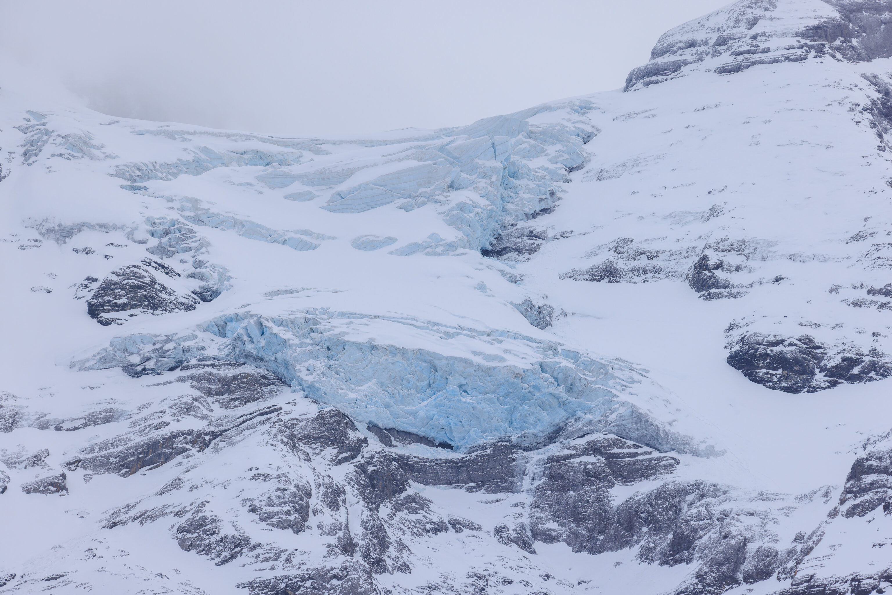
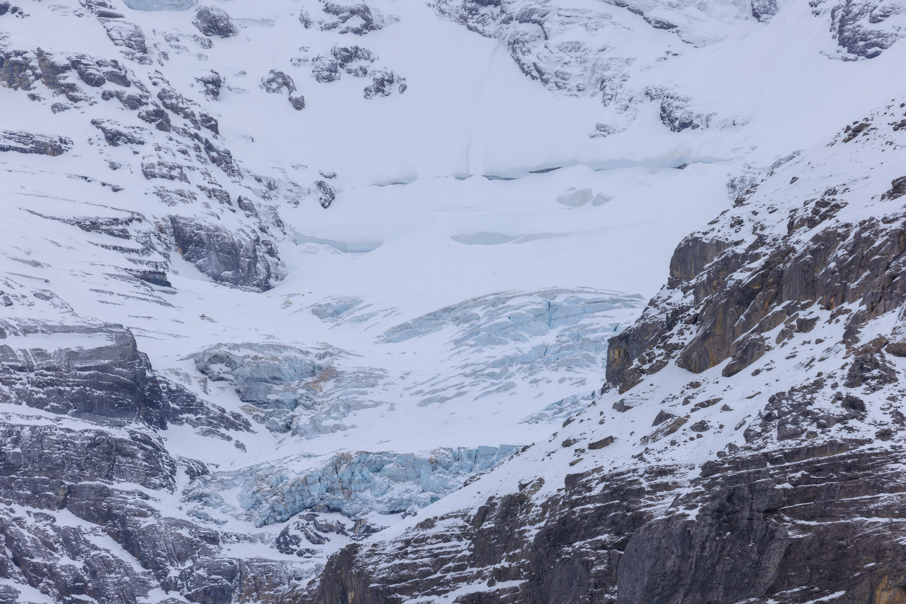
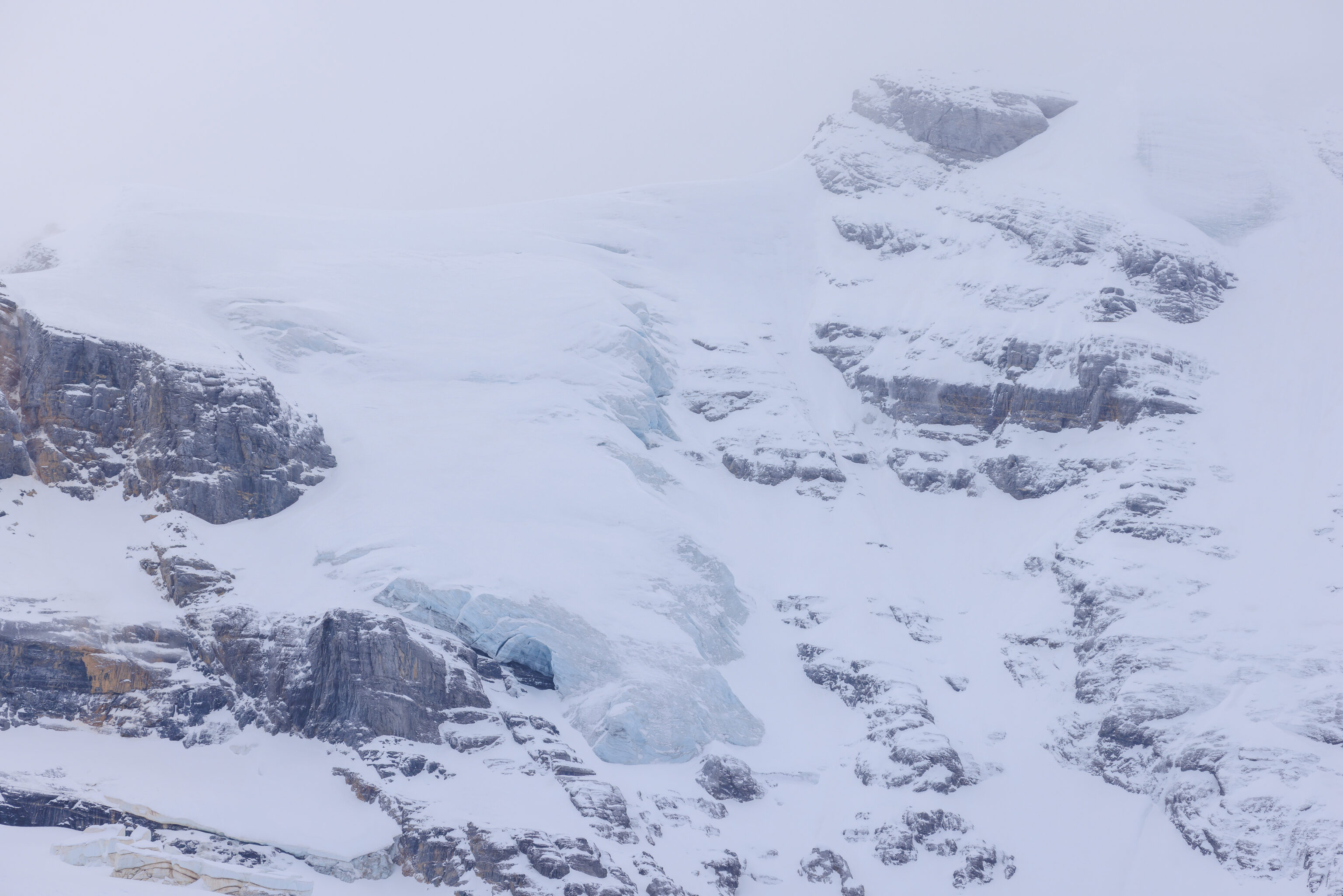
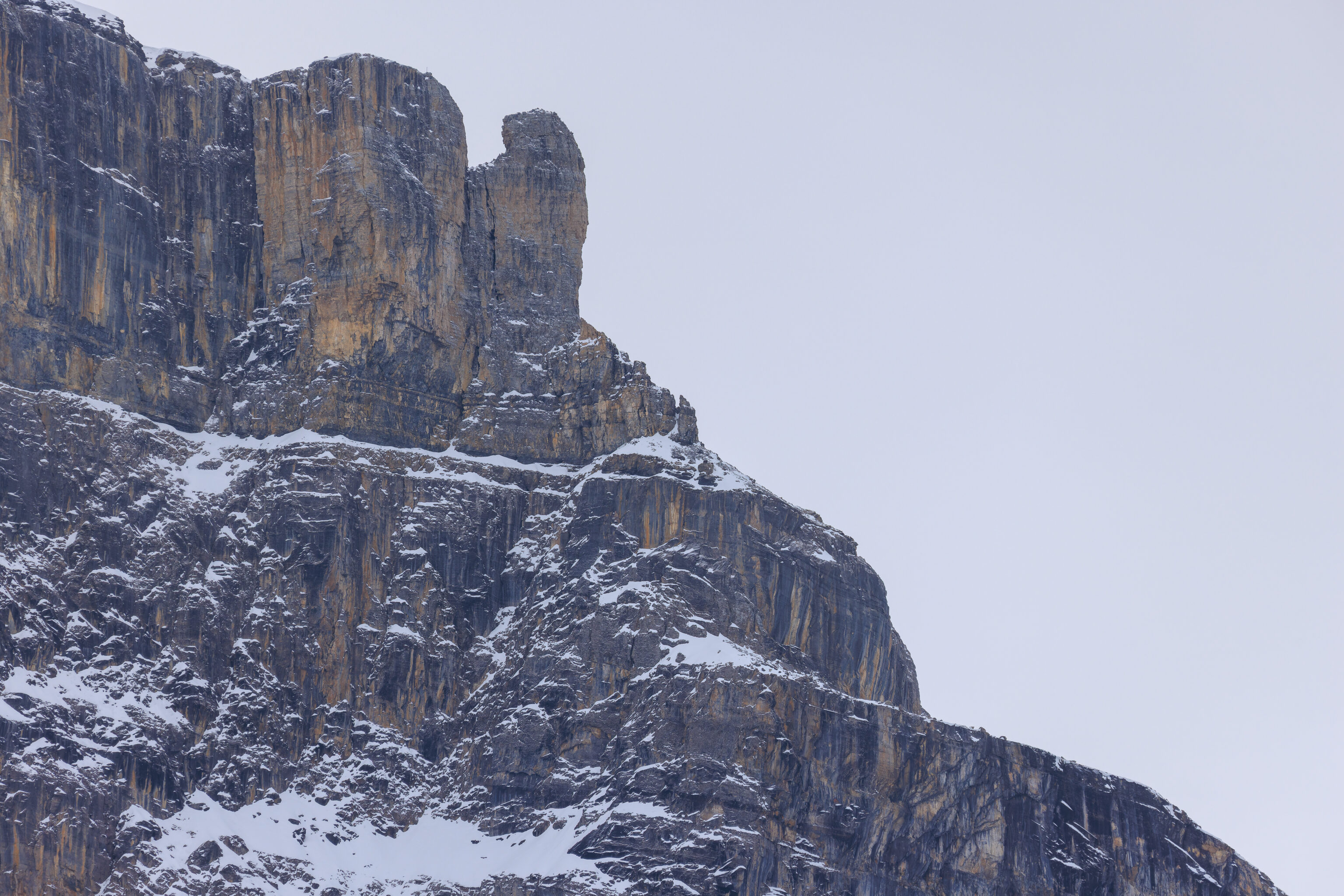
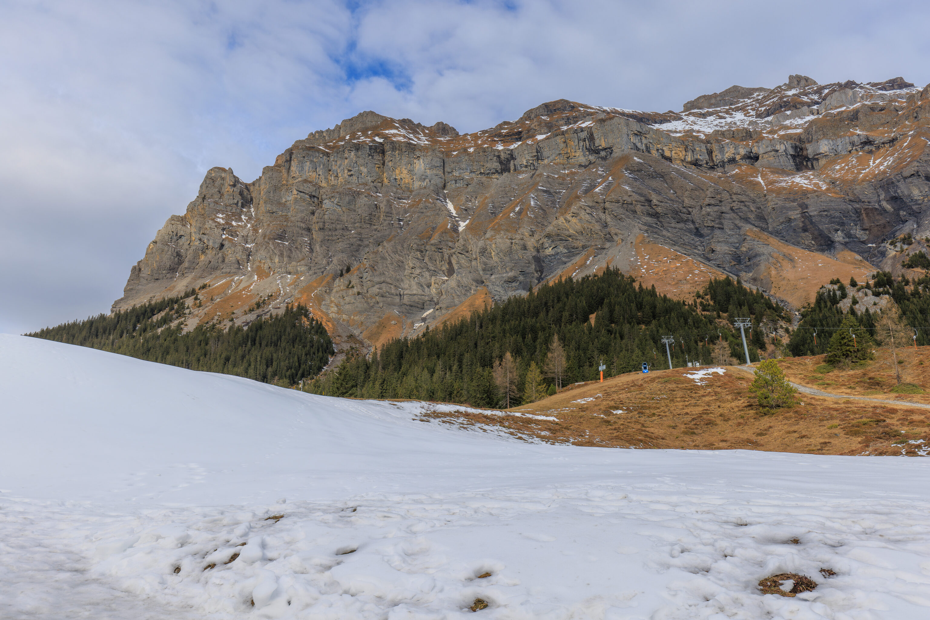
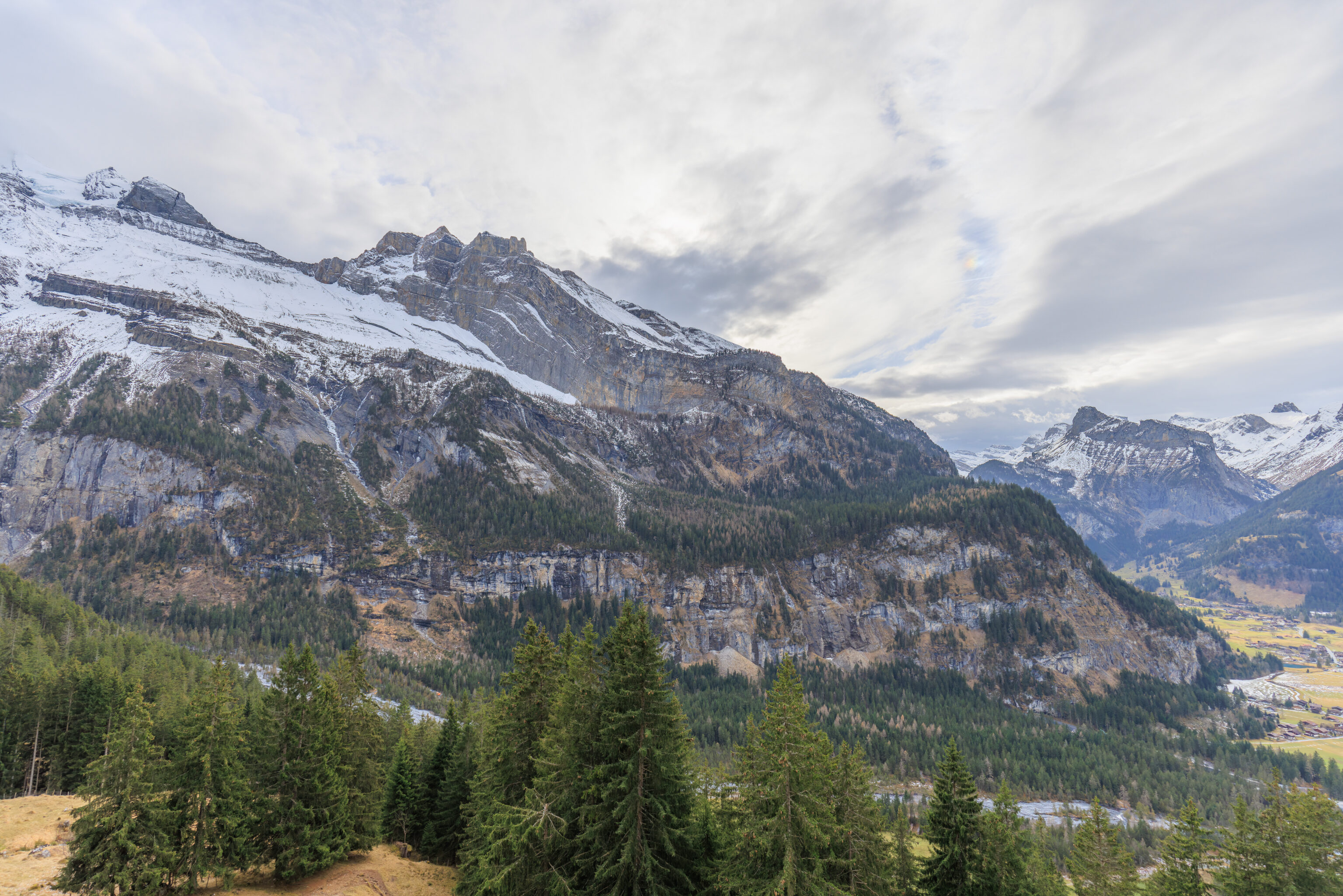
Using our telephoto lens, we looked at some of the surrounding mountain features.
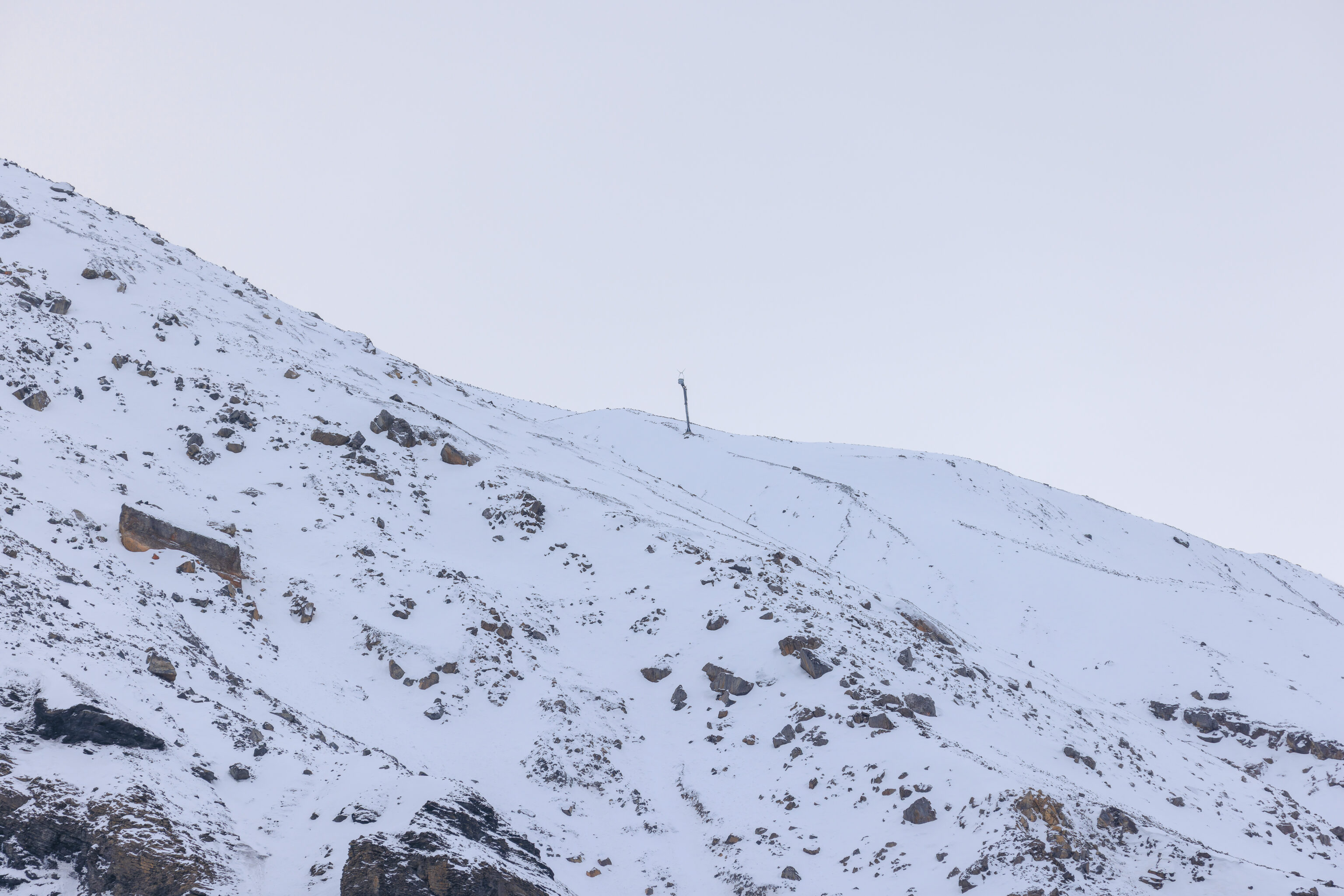
We spotted this metal pole on the side of a mountain to the southeast, more or less. Looking at it closer, it definitely looks like ski infrastructure. None of the maps show any ski trails or lifts in this direction. Was there something here previously that has since closed down?
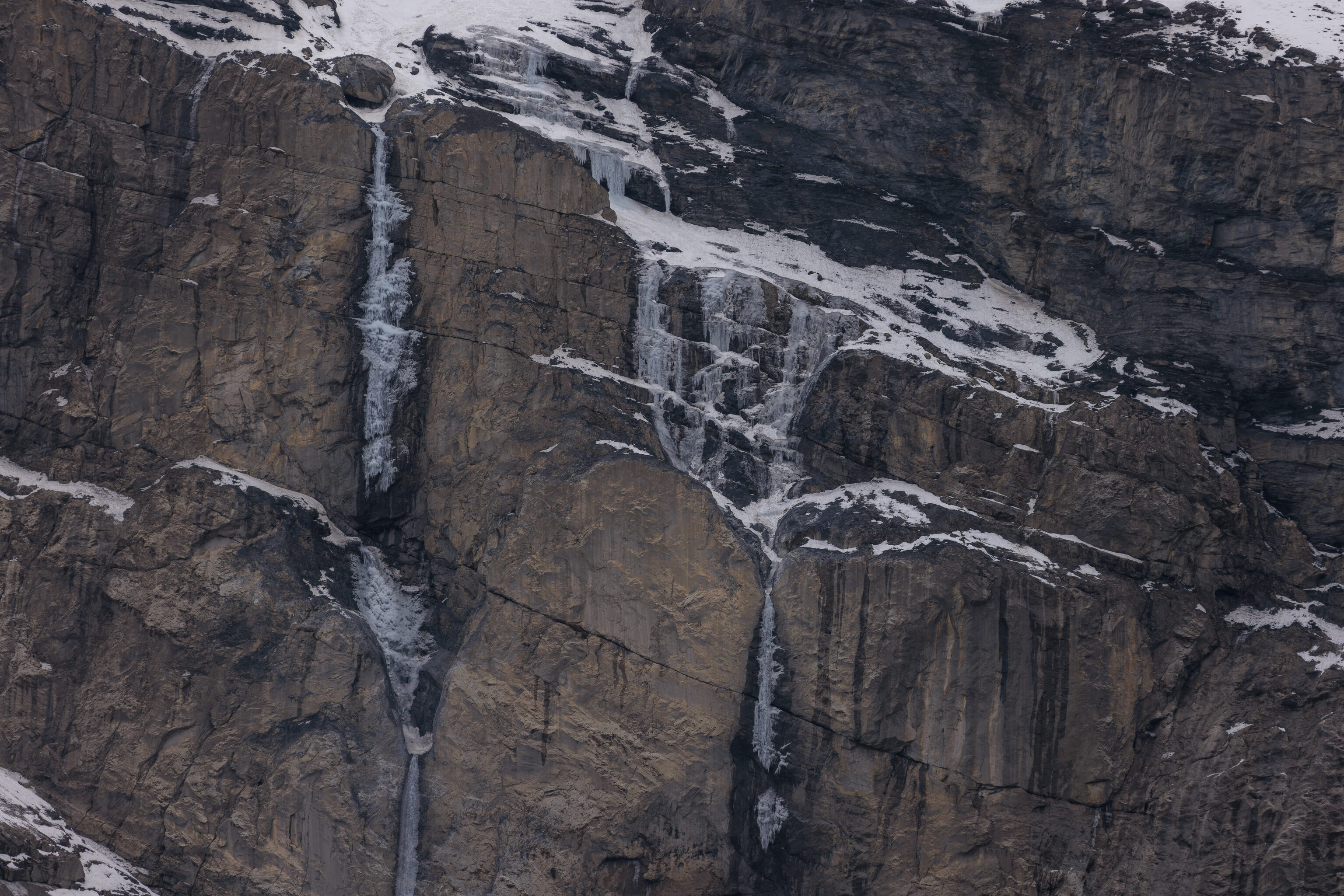
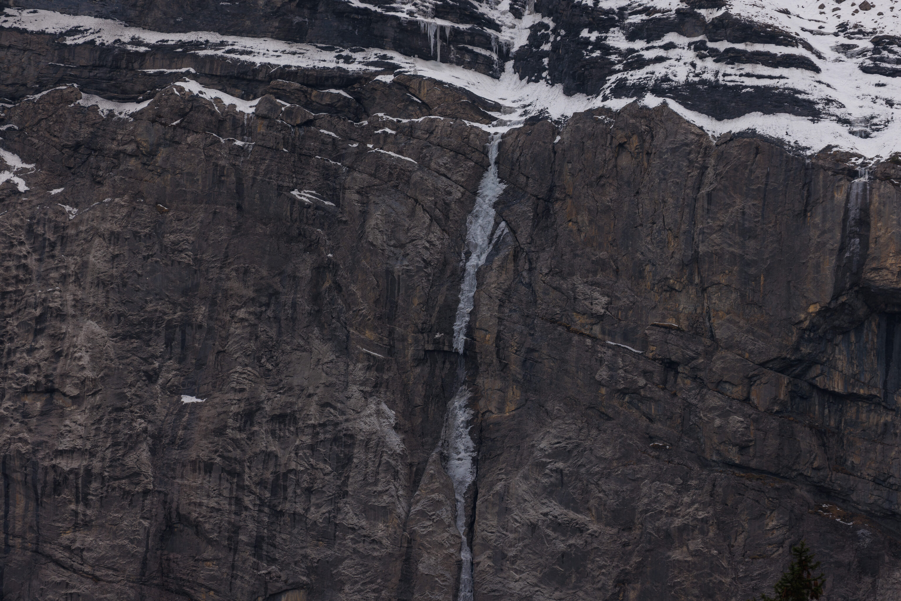
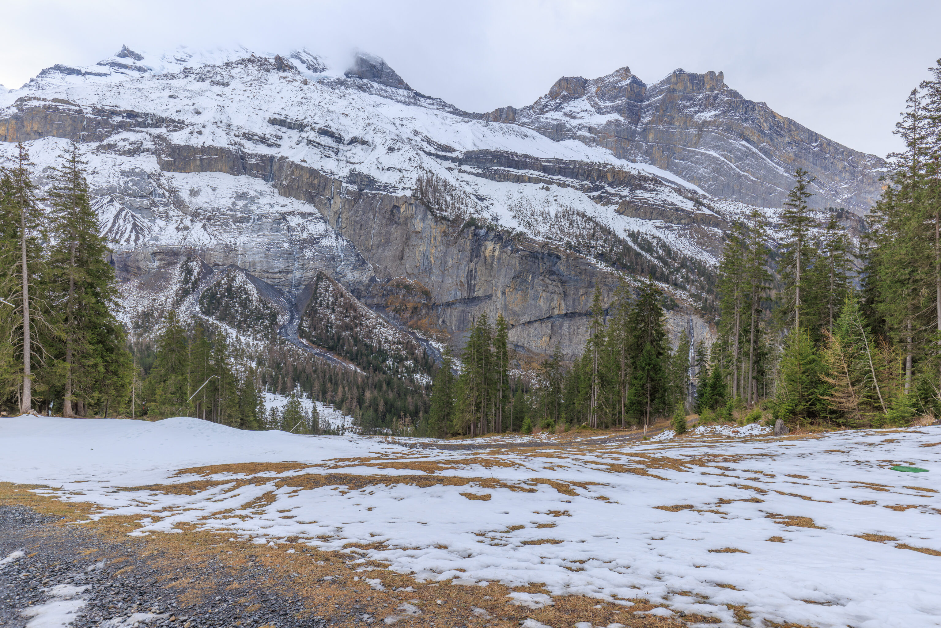
There were many minor waterfalls that have frozen over in the winter.
We took a quick closer look at the lake before turn around to return.
It is possible to grill here too!
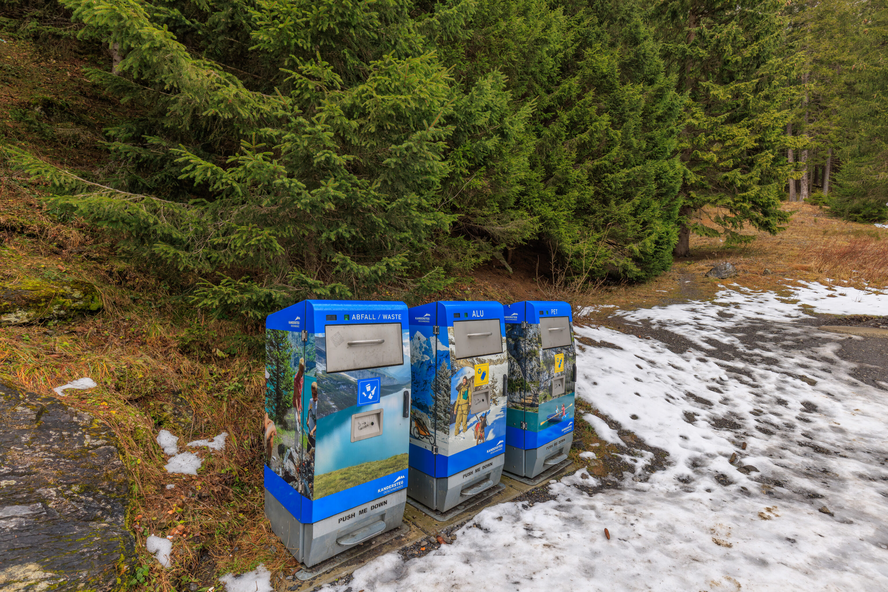
We passed by these fancy garbage cans! They seem like they might be compacting? One was for standard waste while the other two were for aluminum and plastic. They also have a hole to insert cigarettes! This is Europe after all!
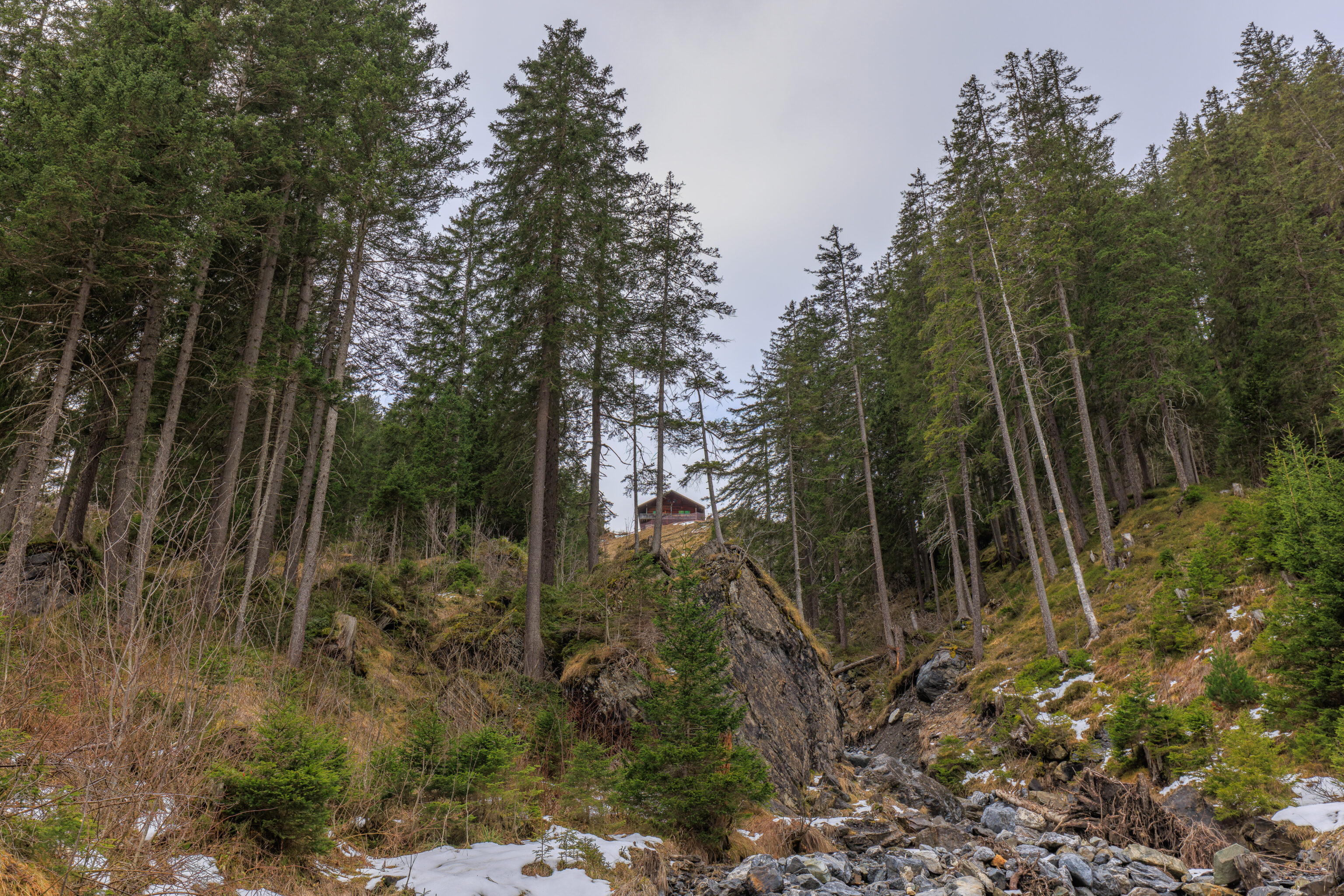
It is possible to take an alternate path back. Another trail leads up to this building that we saw above, the Zur Sennhütte. It is a restaurant but is not open during the winter. We didn’t try to go that way as we weren’t sure what the trail conditions would be.
We backtracked, enjoying the view of the lake now on our left.
Soon, we were back to where we first reached the lake. There were a few more people around now, but still not many.
We passed in front of the closed Arva chalet once agian.
And we headed back up the icy slope in front of the Berghotel Oeschinensee.
We took a look behind as we walked away.
This electronic display shows what is open and what is closed.
We continued walking away, taking a look behind as the lake got smaller and smaller.
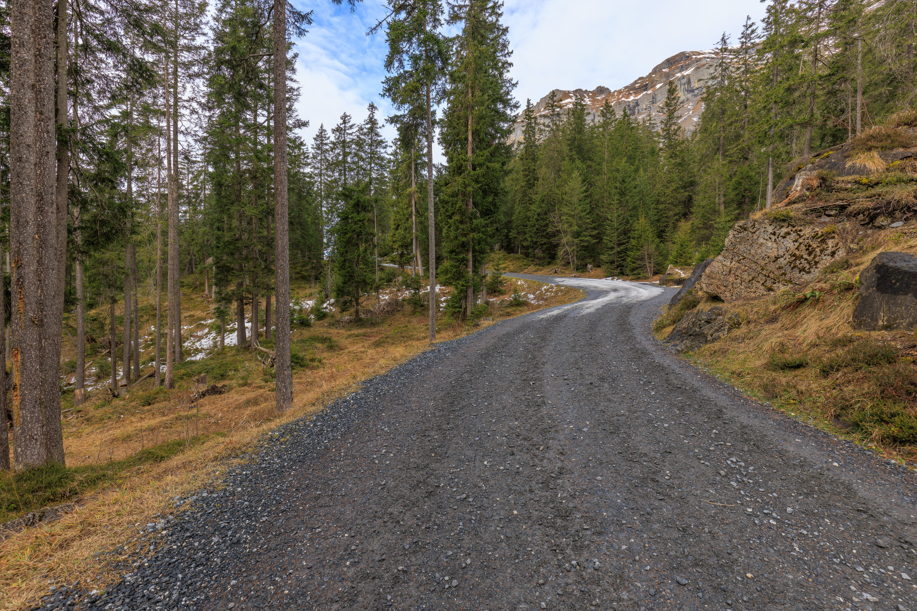
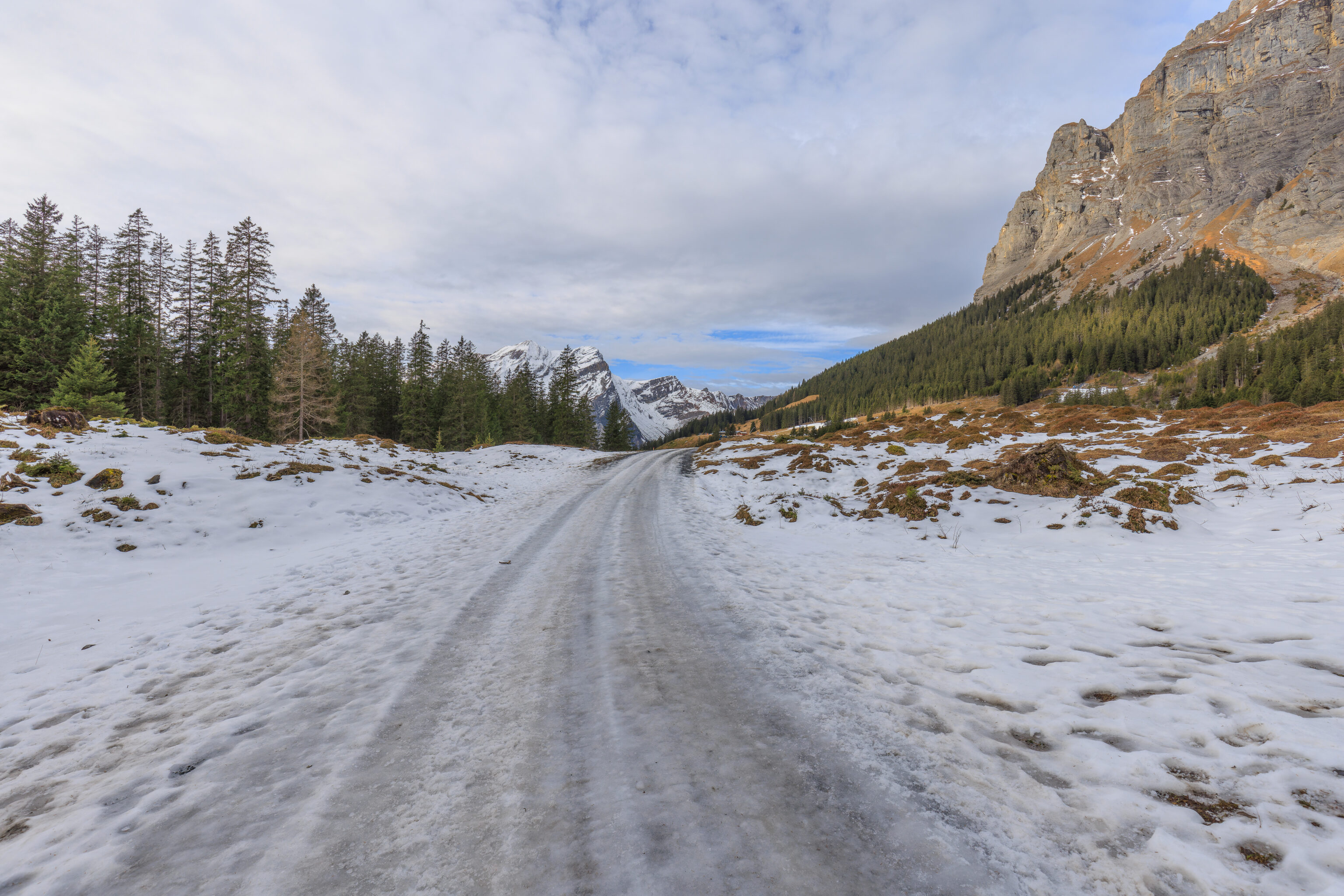
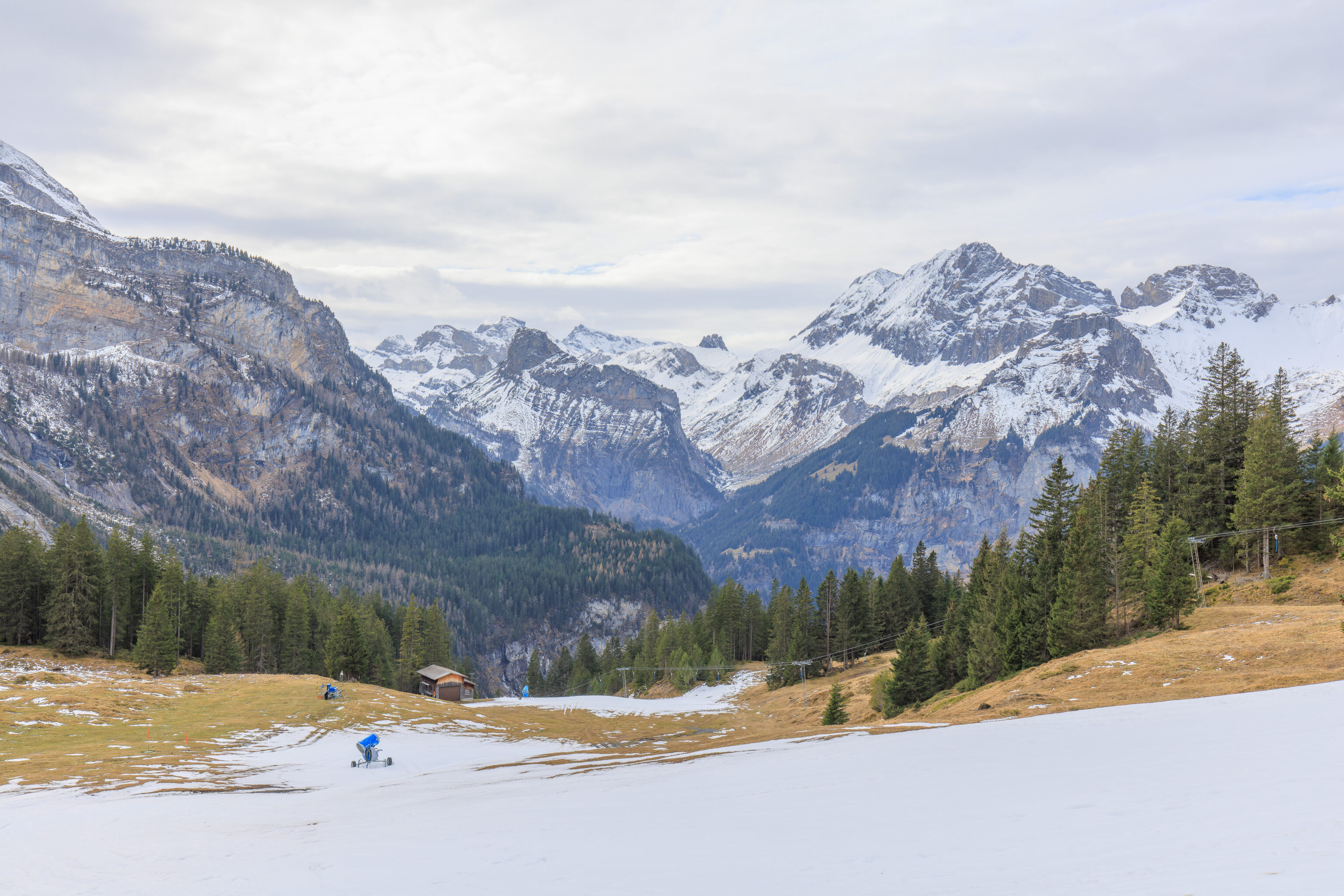
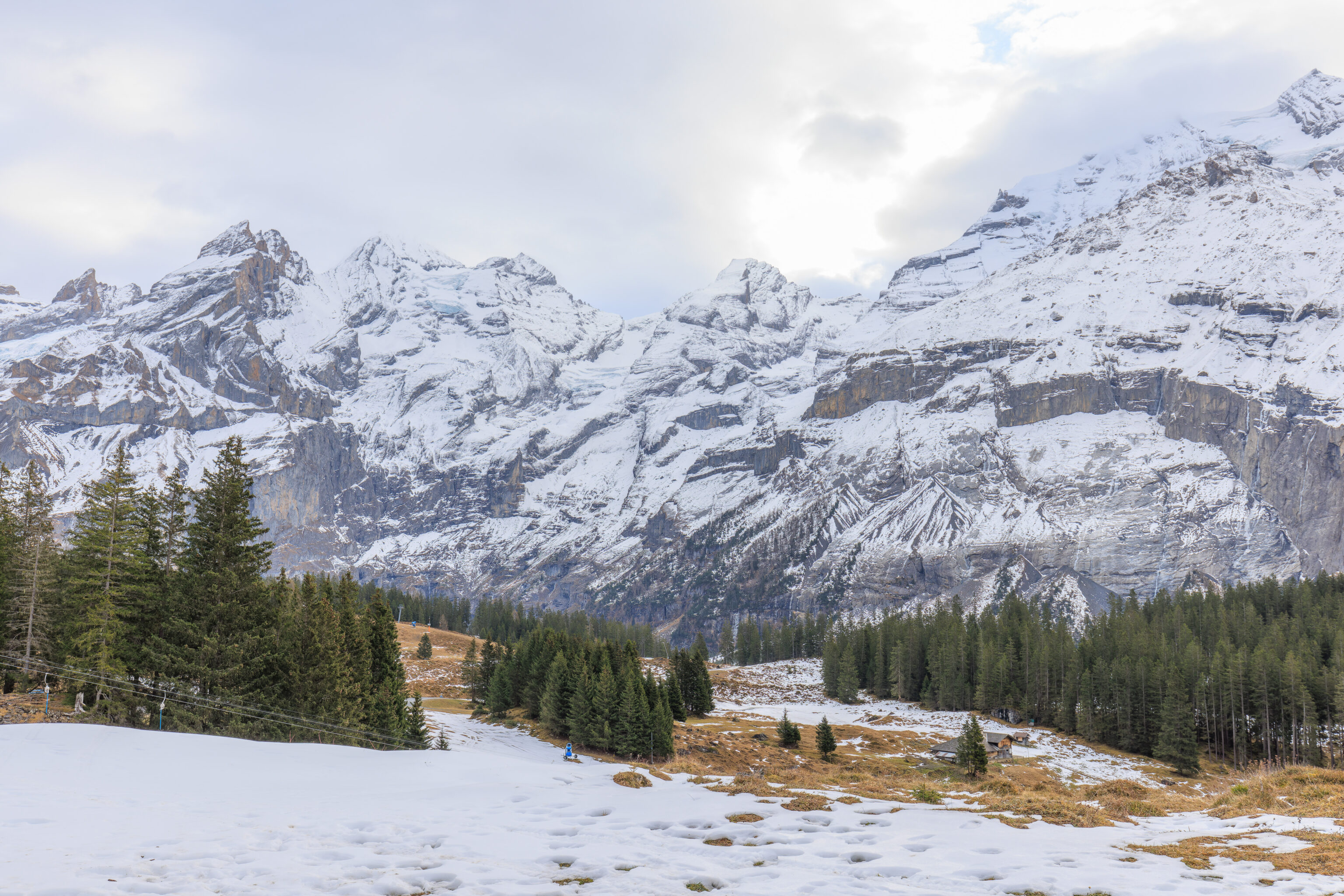
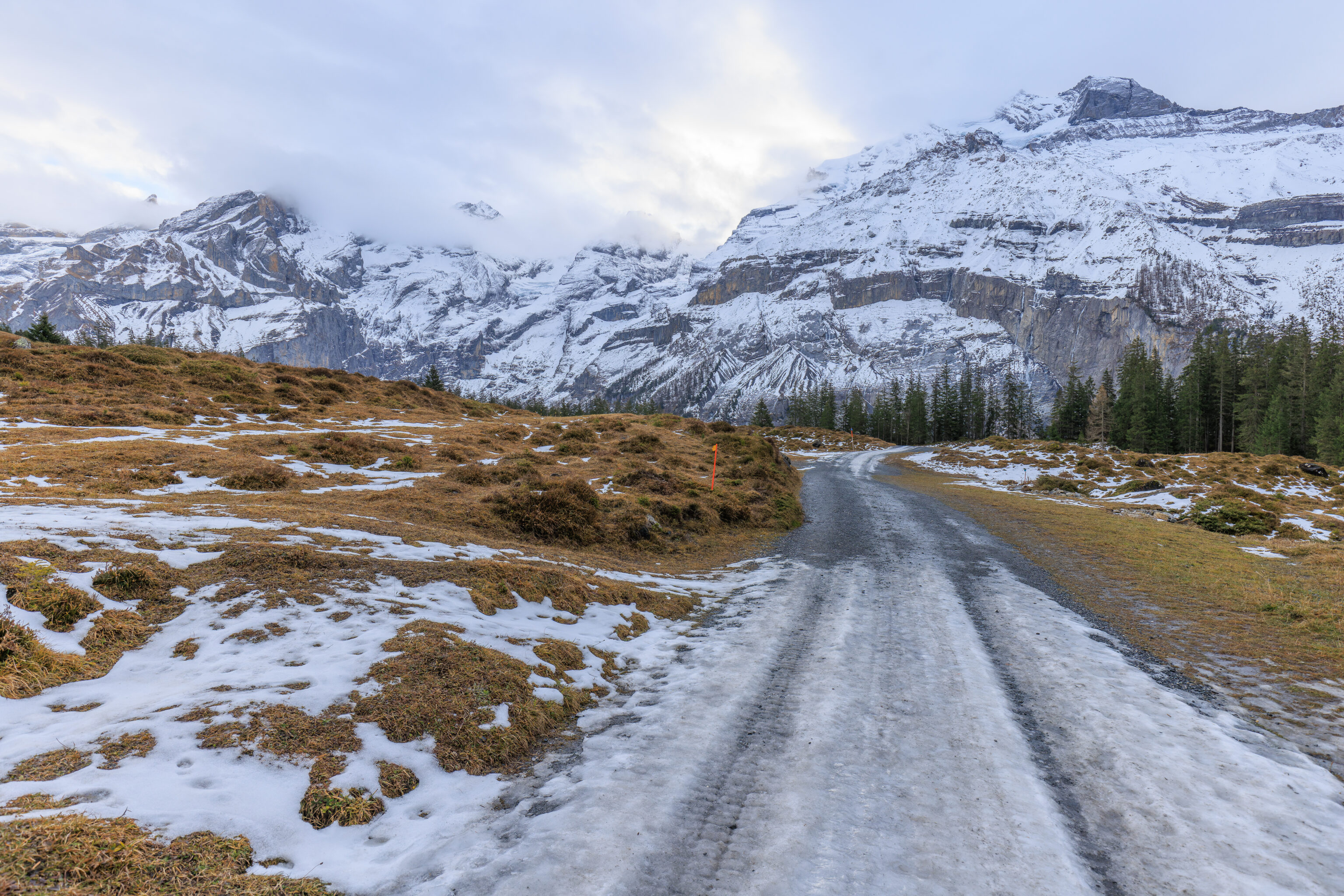
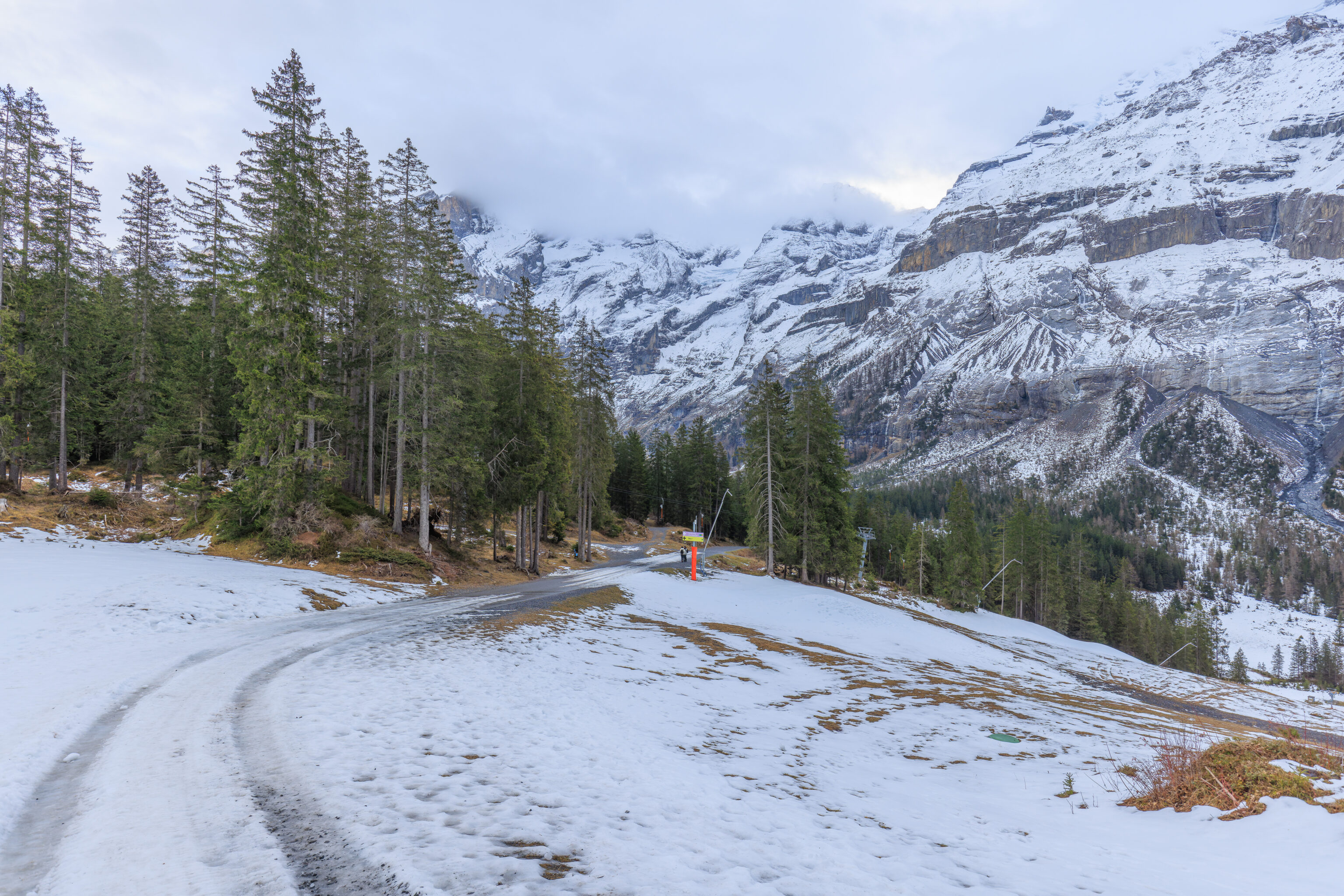
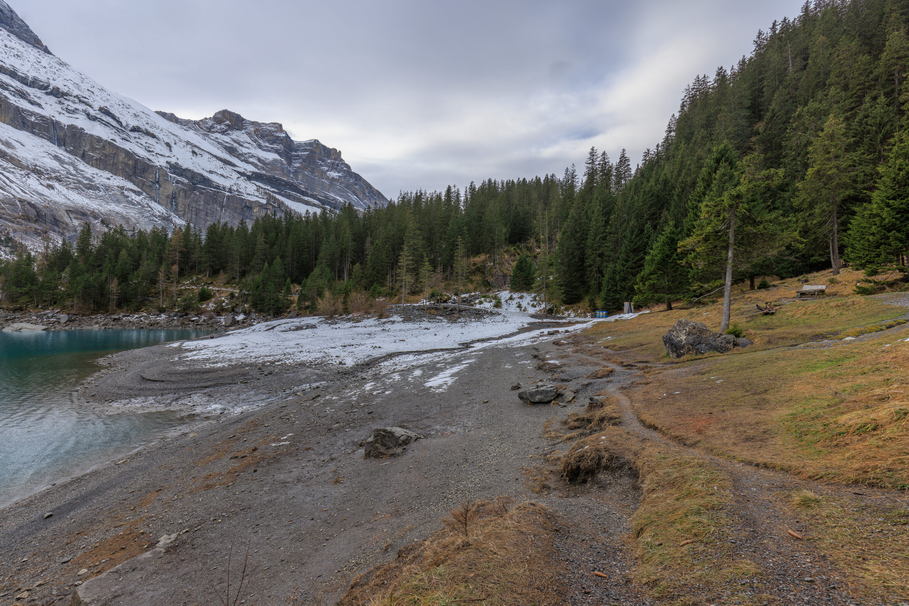
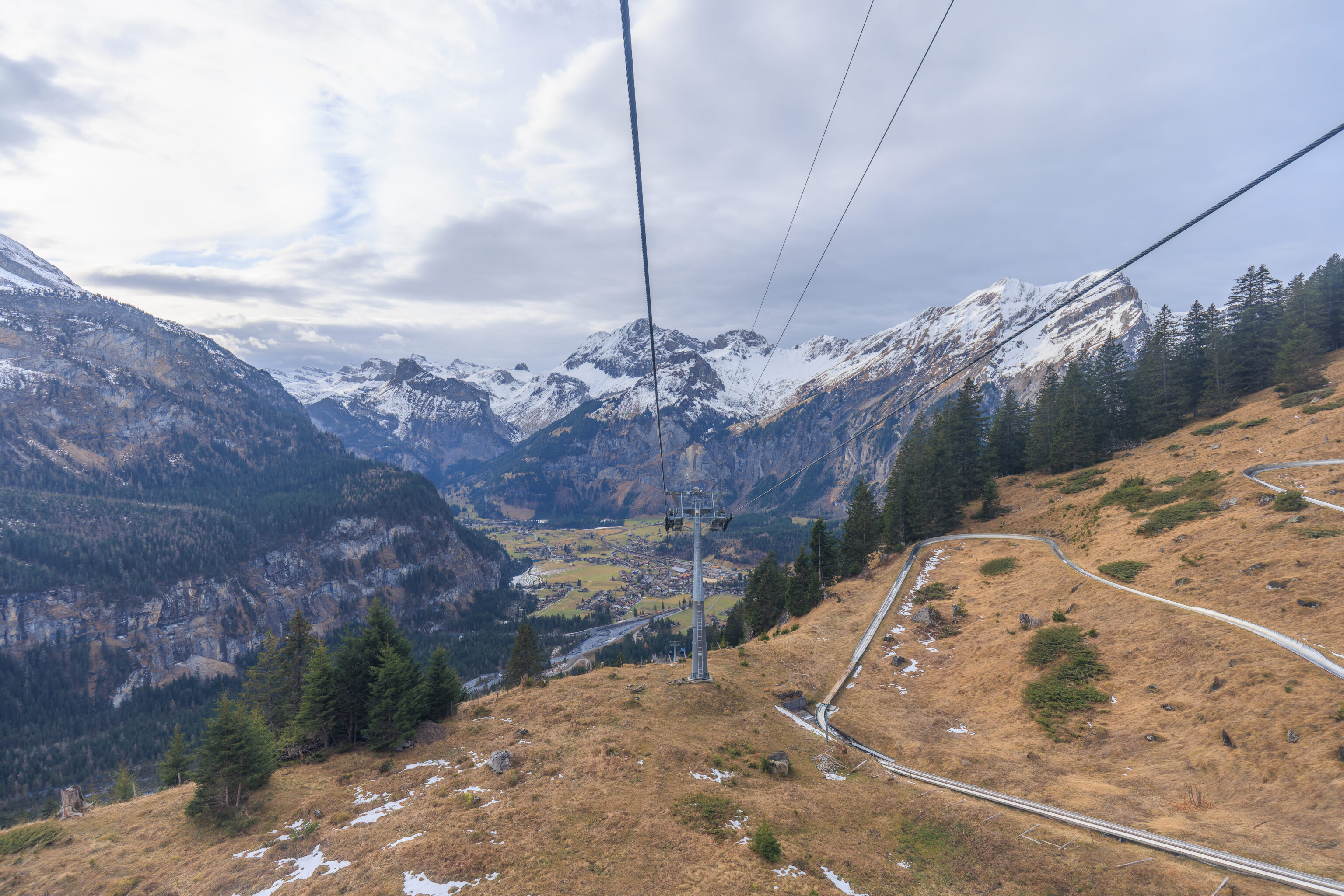
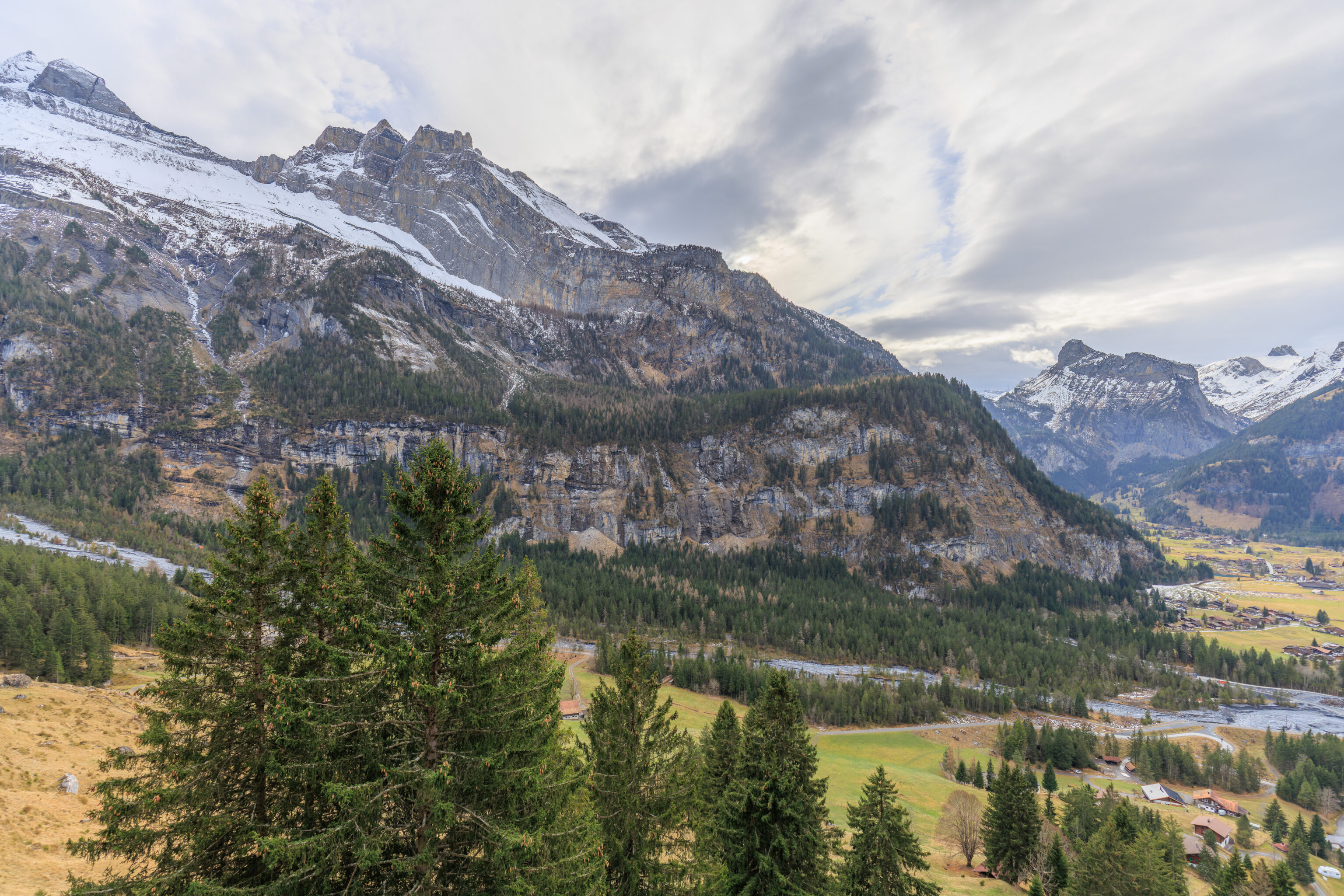
The walk back was slightly harder as the trail trended uphill, but overall it is an extremely easy walk.
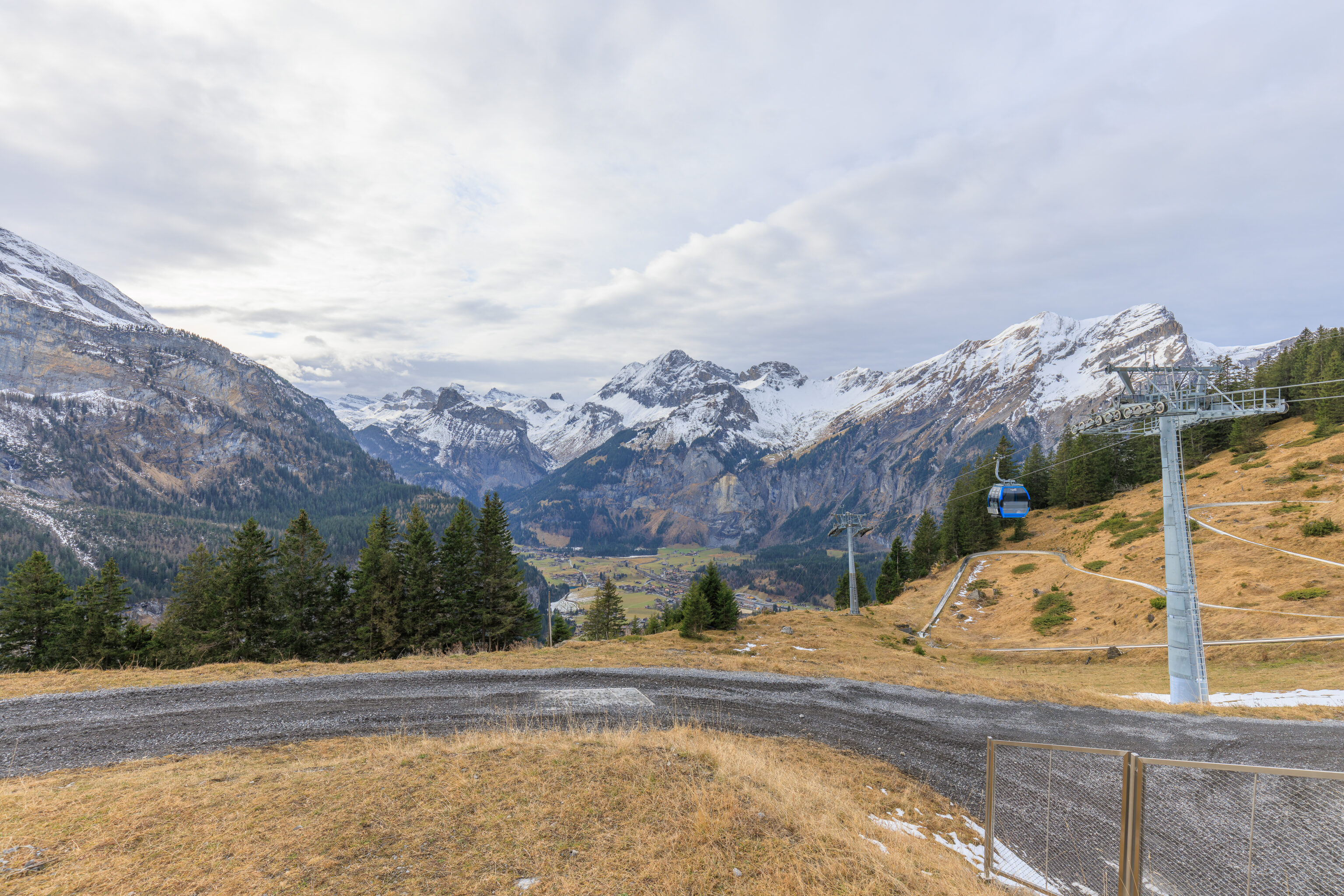
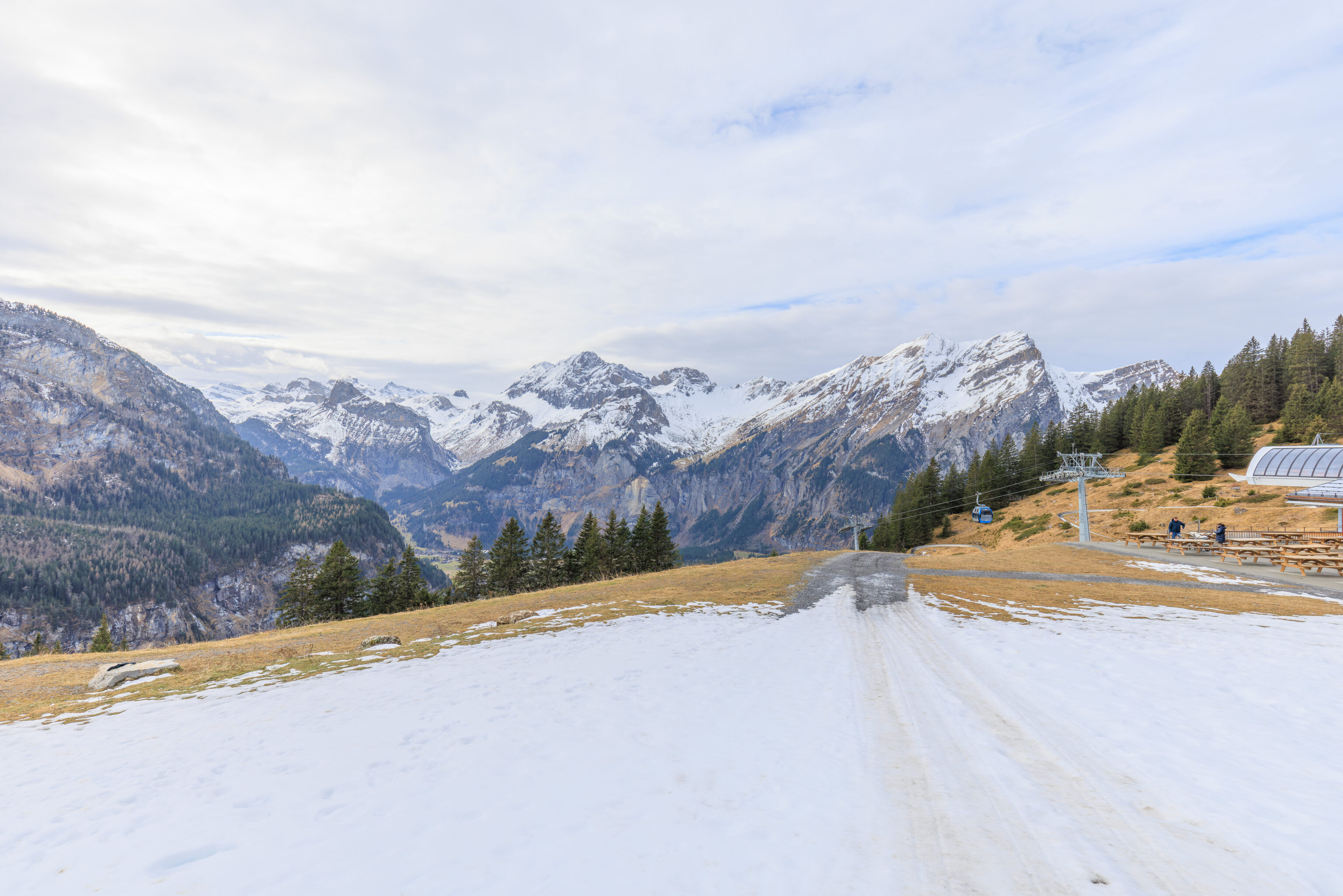
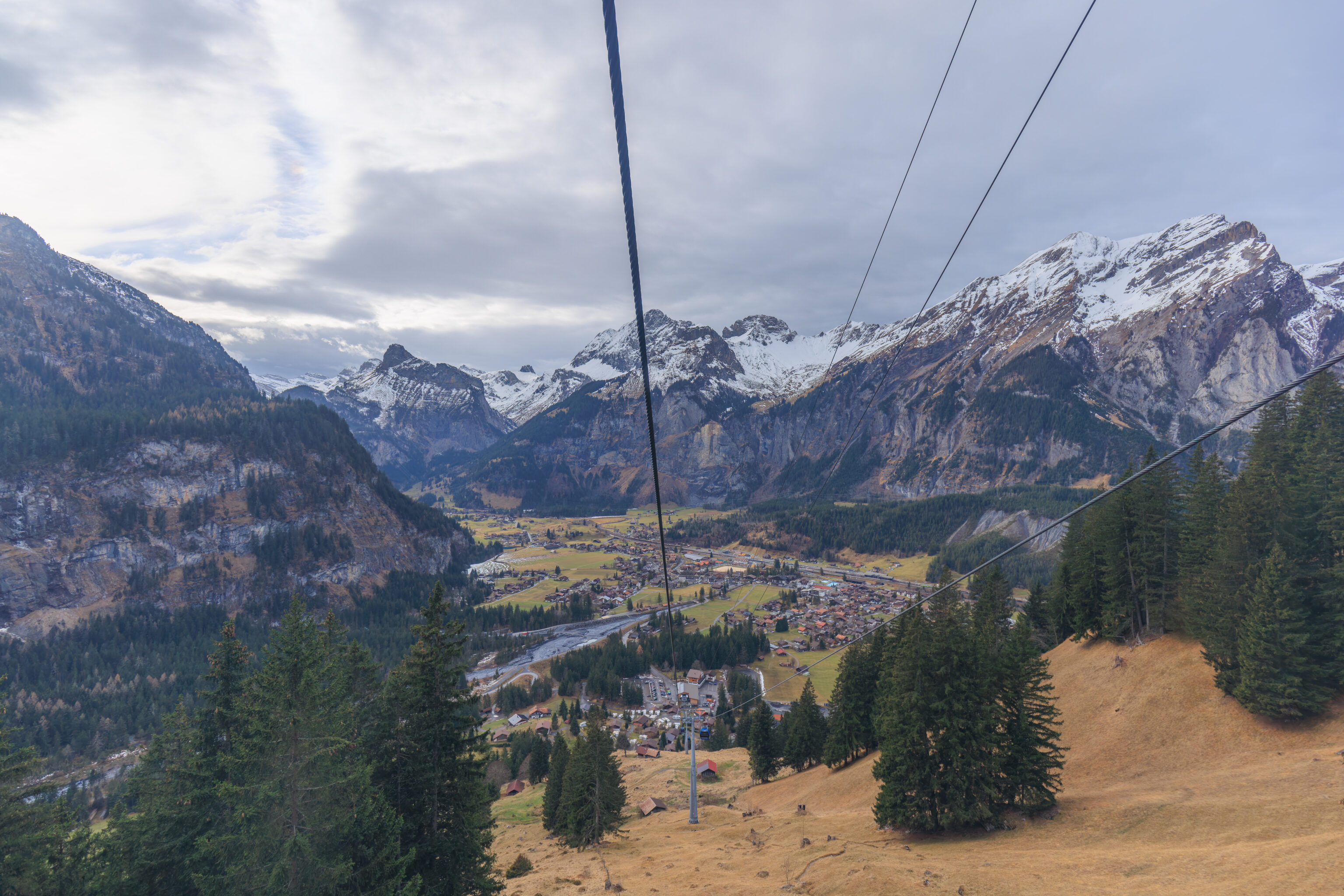
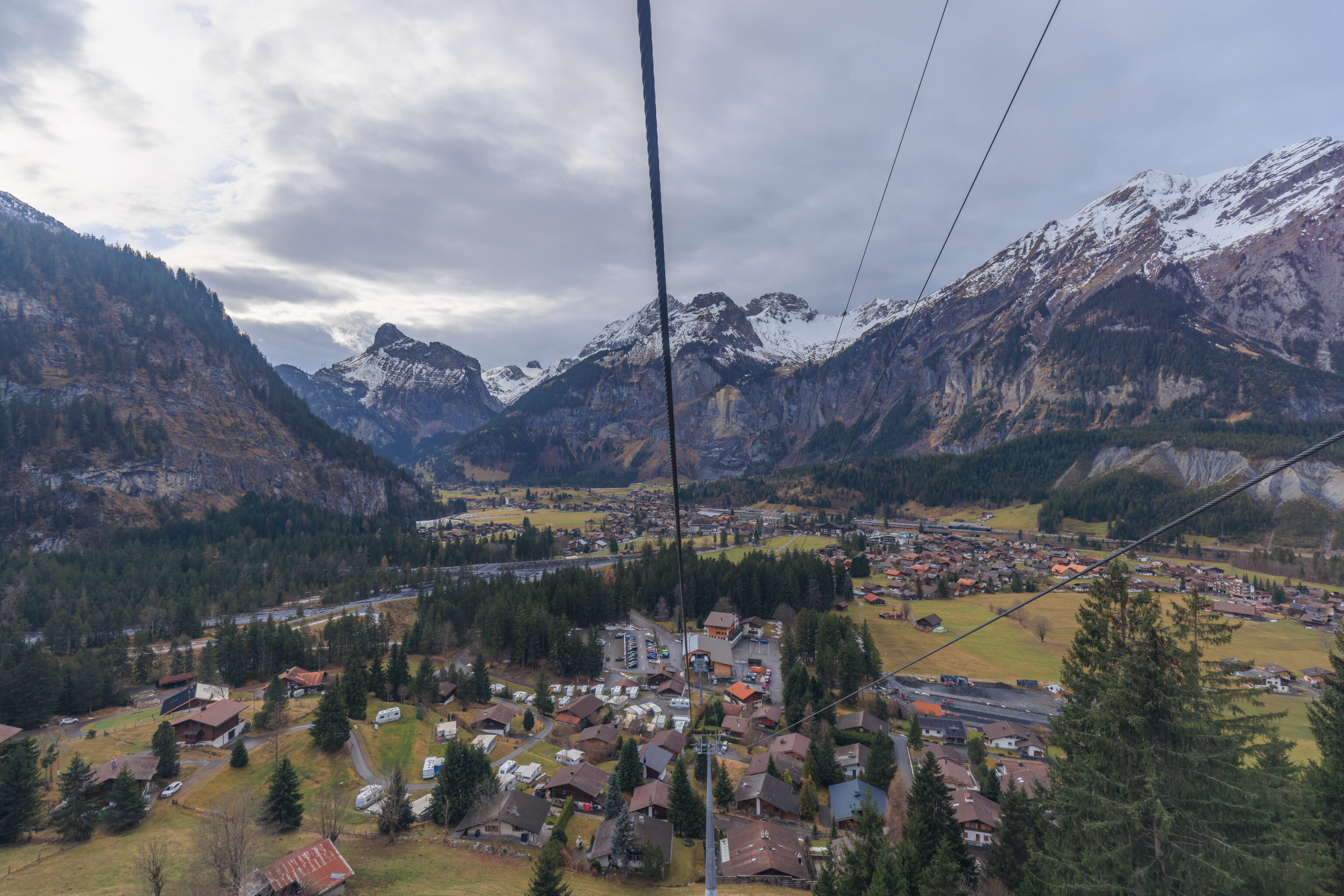
It took around an hour for us to walk back to the gondola station at a leisurely pace, including photo taking time. There is a mountain coaster track right next to the gondola that is open in the summer.
We looked down into the valley again.
Maybe we should have tried the food?
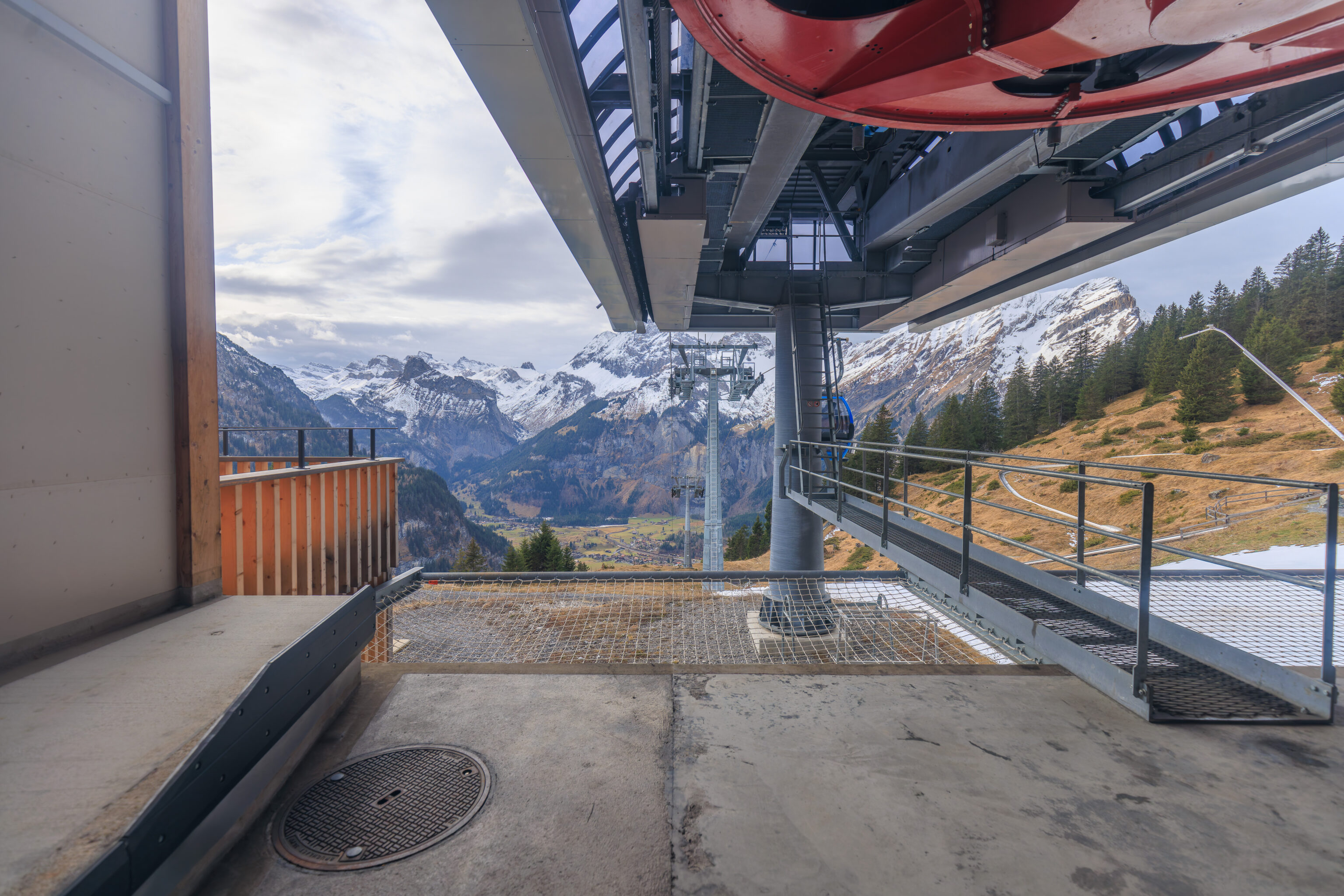
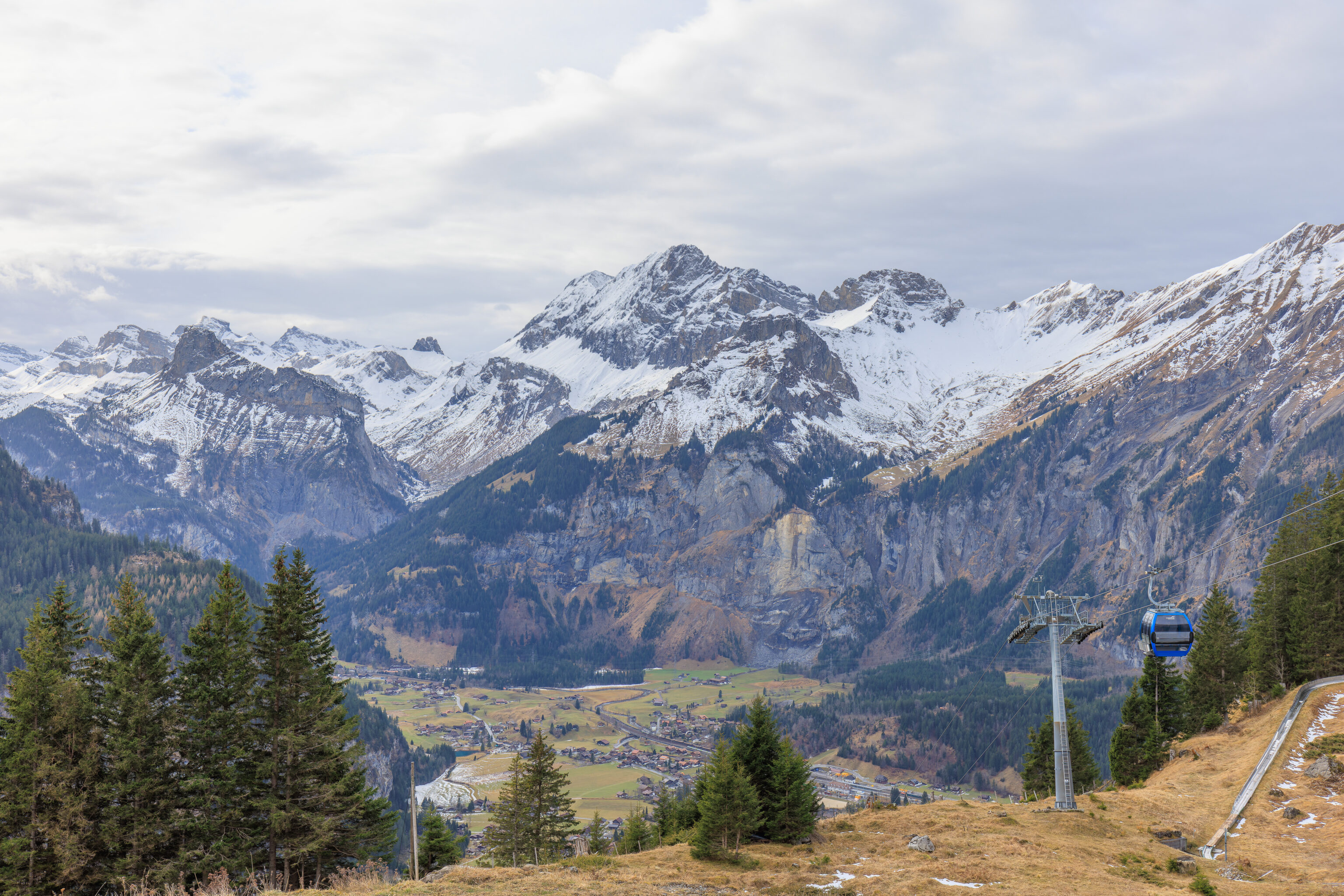
We started to head back down on the gondola.
Here we go!
The ride down takes less than 10 minutes. After arriving, we visited the bathrooms and decided to return to the station. We would either catch the next train visit Thun, not far past Spiez, or maybe take the next train in the other direction to Domodossola, Italy, for a late lunch, whichever came first! The local train to Domodossola is included in the Berner Oberland Pass as it is a BLS train, the transportation company for the Bern region.
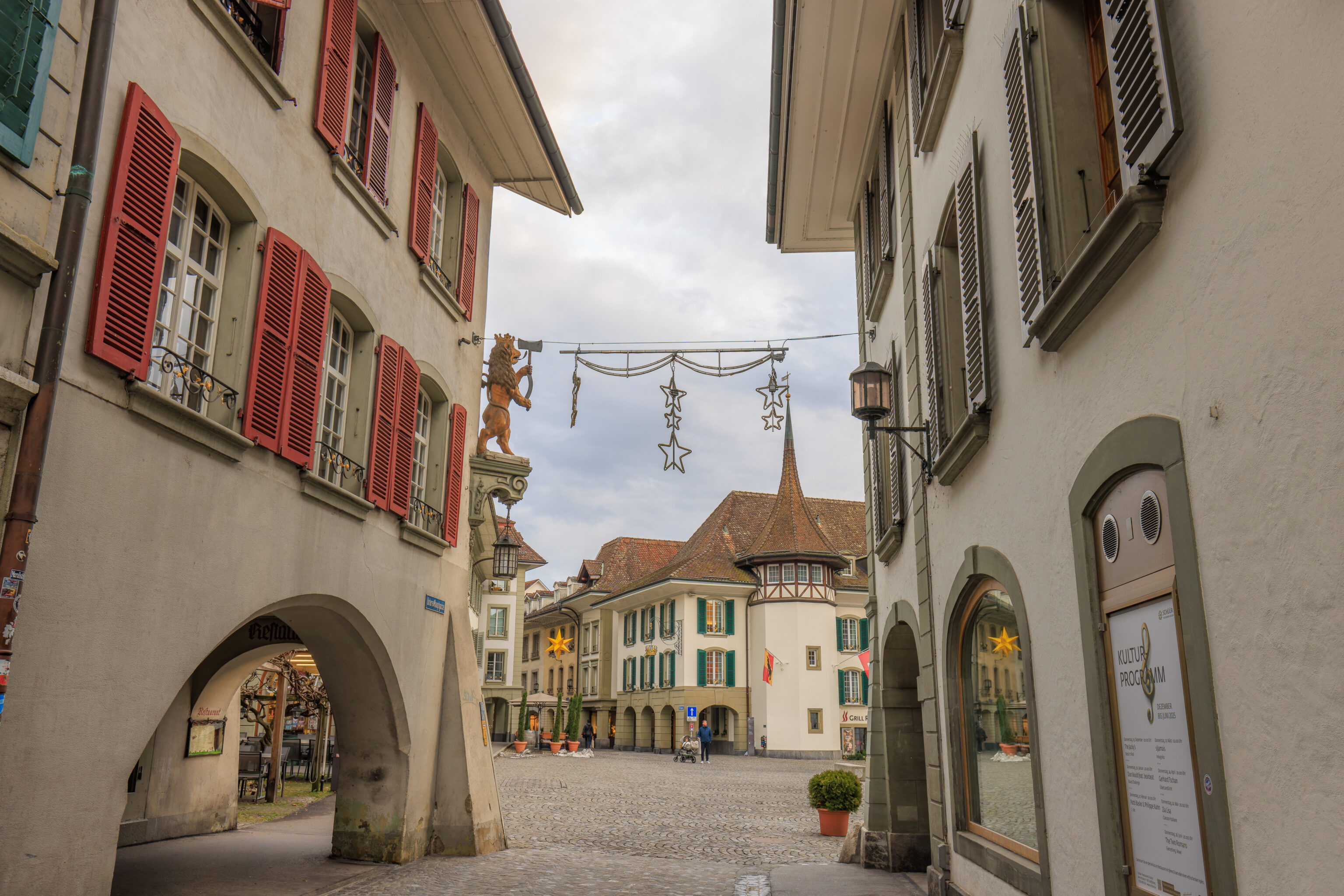
Thun
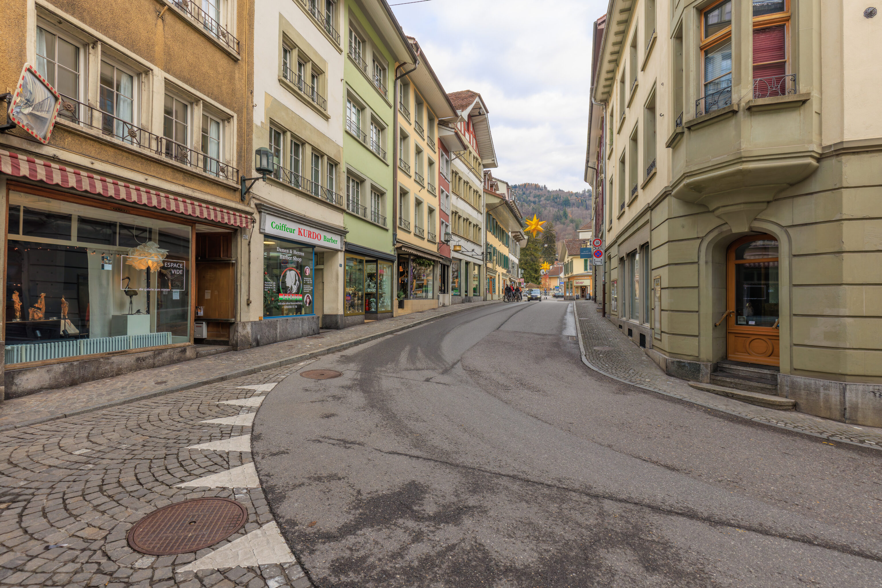
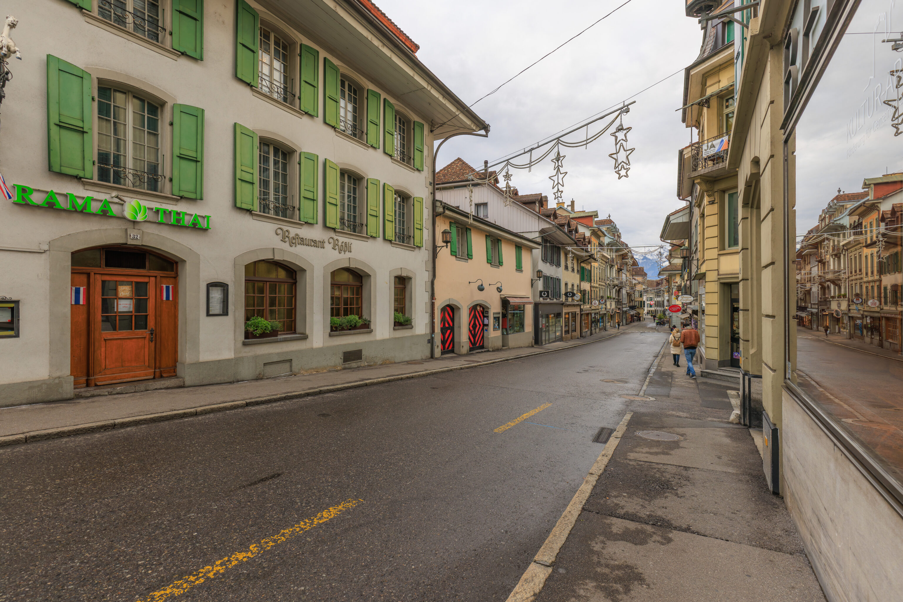
It turns out that the next train to arrive was headed to Bern, passing through Thun on the way. So, we went to Thun! it’s probably just as well as we’ve been to Domodossola before but haven’t actually been to Thun yet.
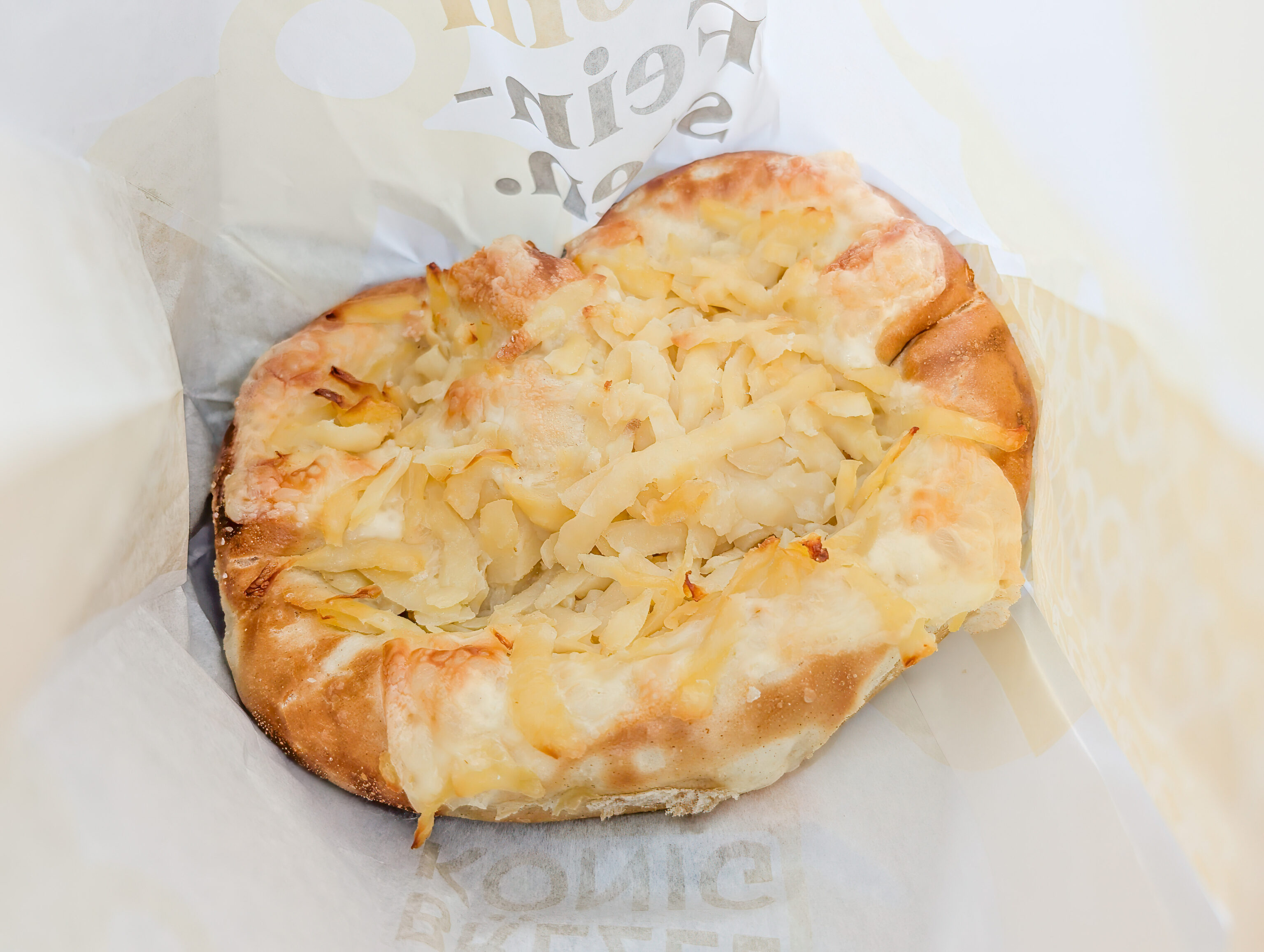
While exiting the train station, we visited Brezelkönig and got a cheesy snack. It was pretty bad and extremely salty.
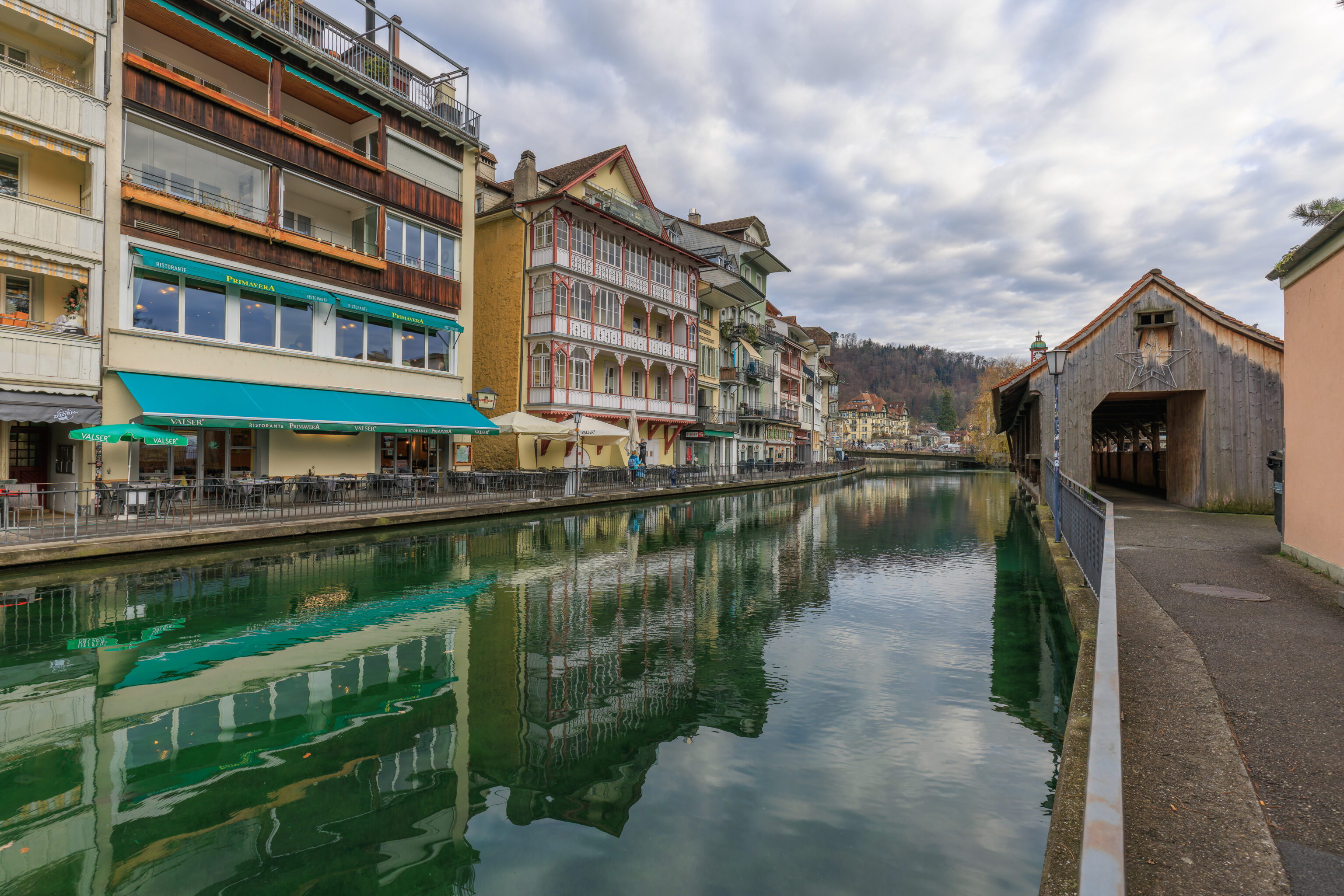
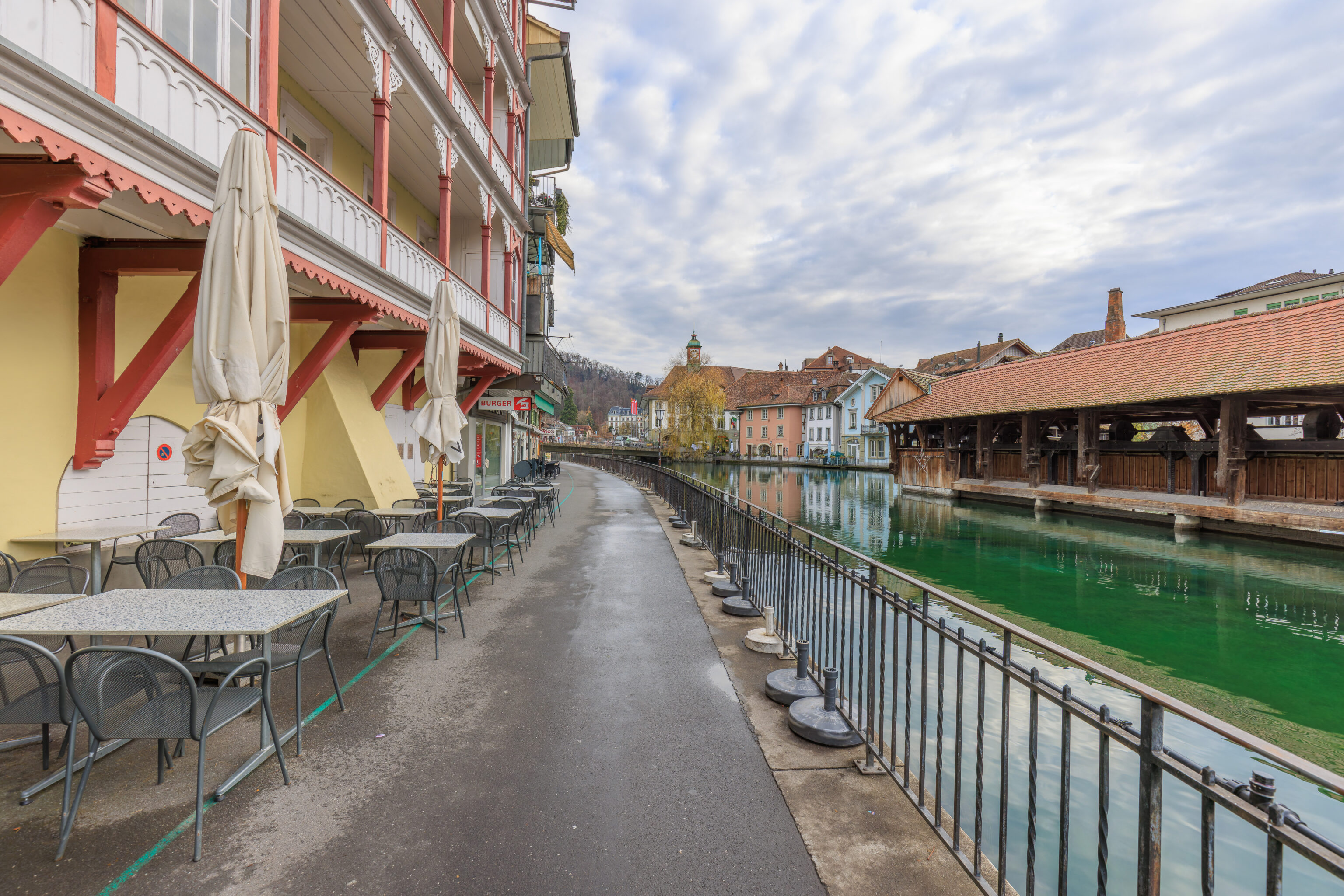
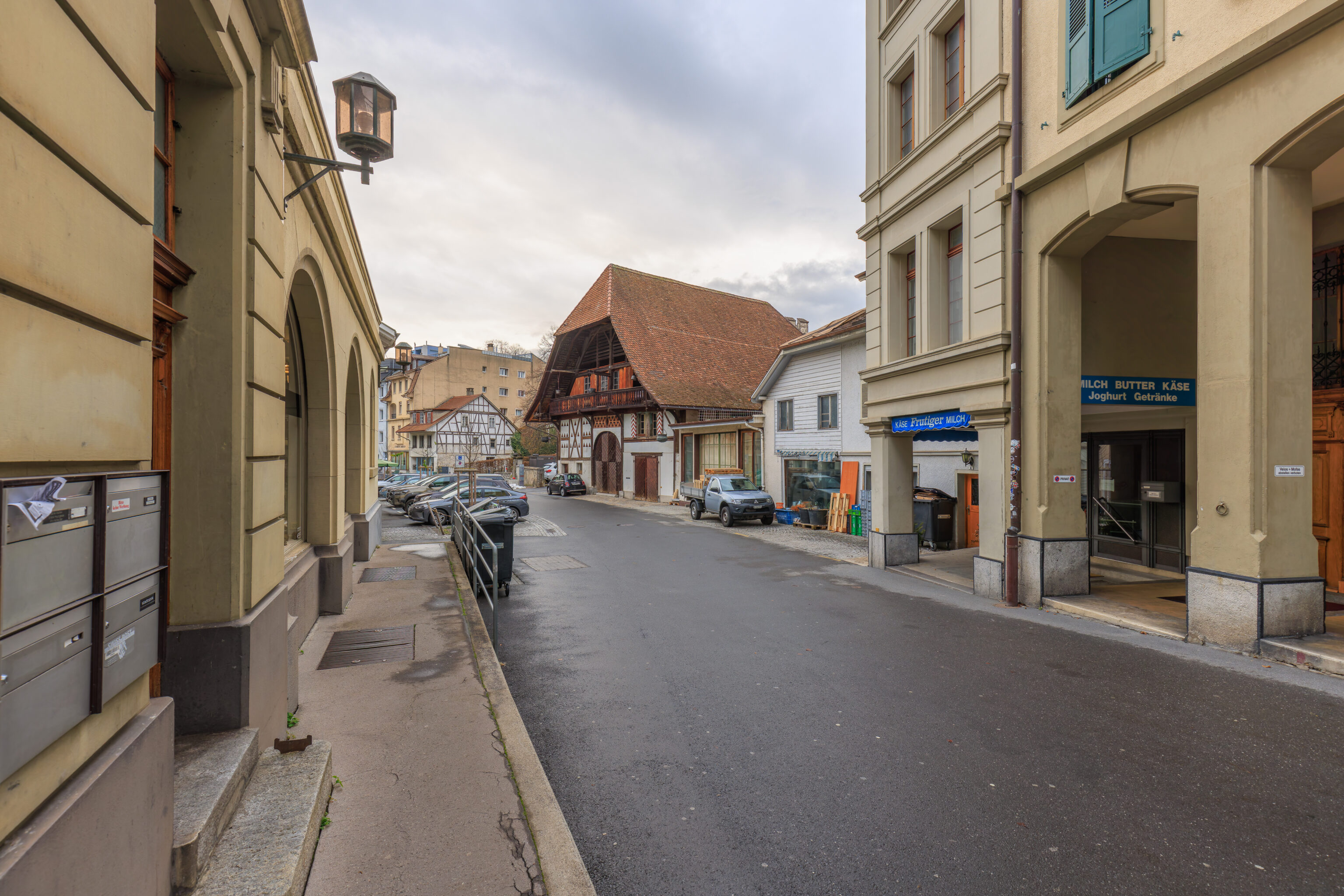
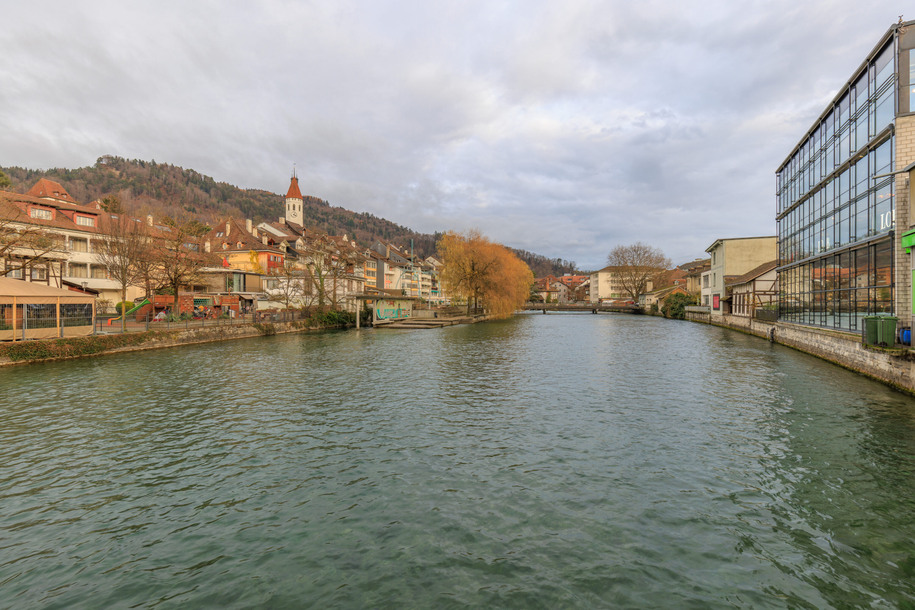
The Thun train station is on the southern edge of the historic city center. The Aare passes through the city between the station and the historic area with a long narrow island in the middle of the river.
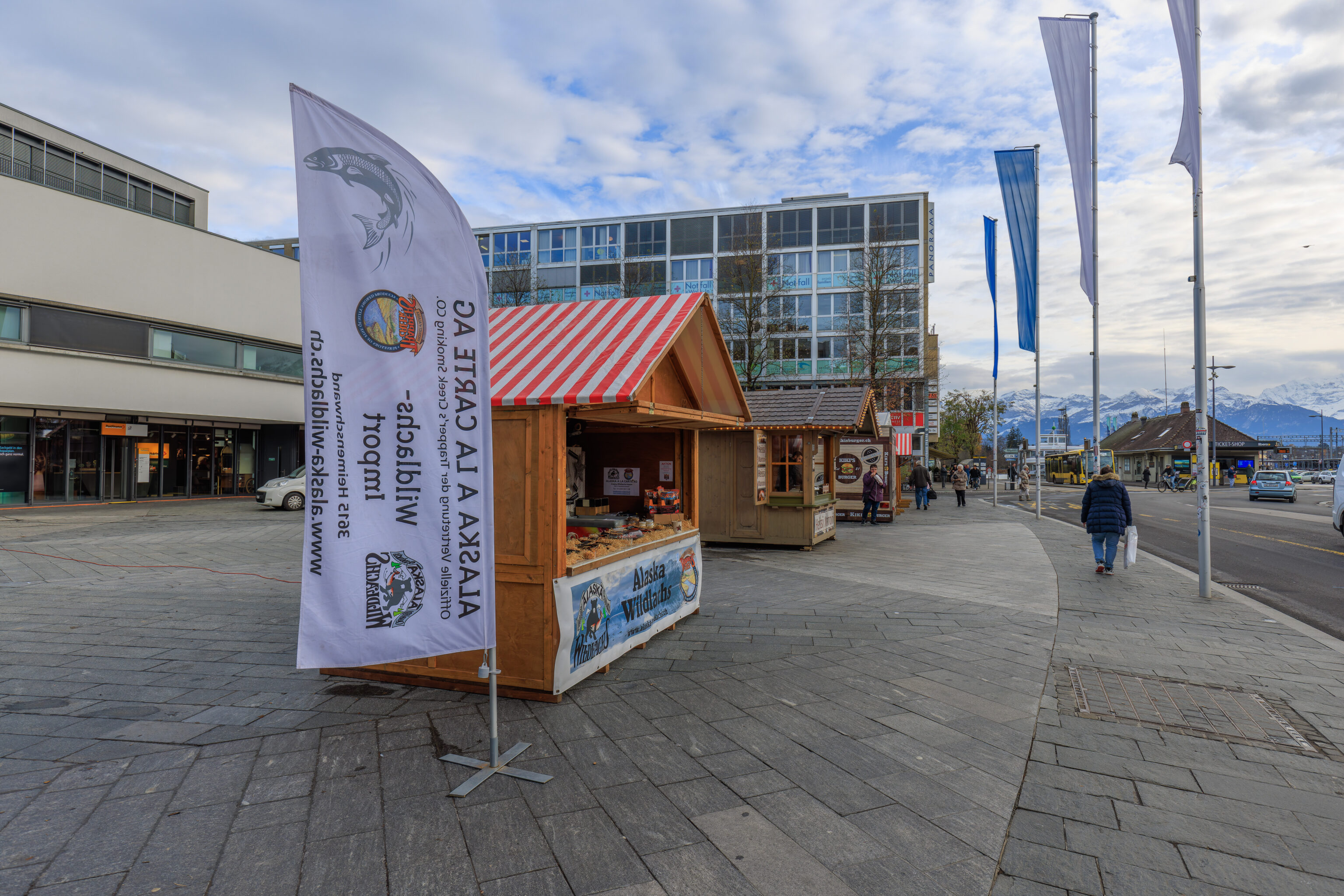
As we walked away from the station, we were amused to find an Alaskan salmon stand!
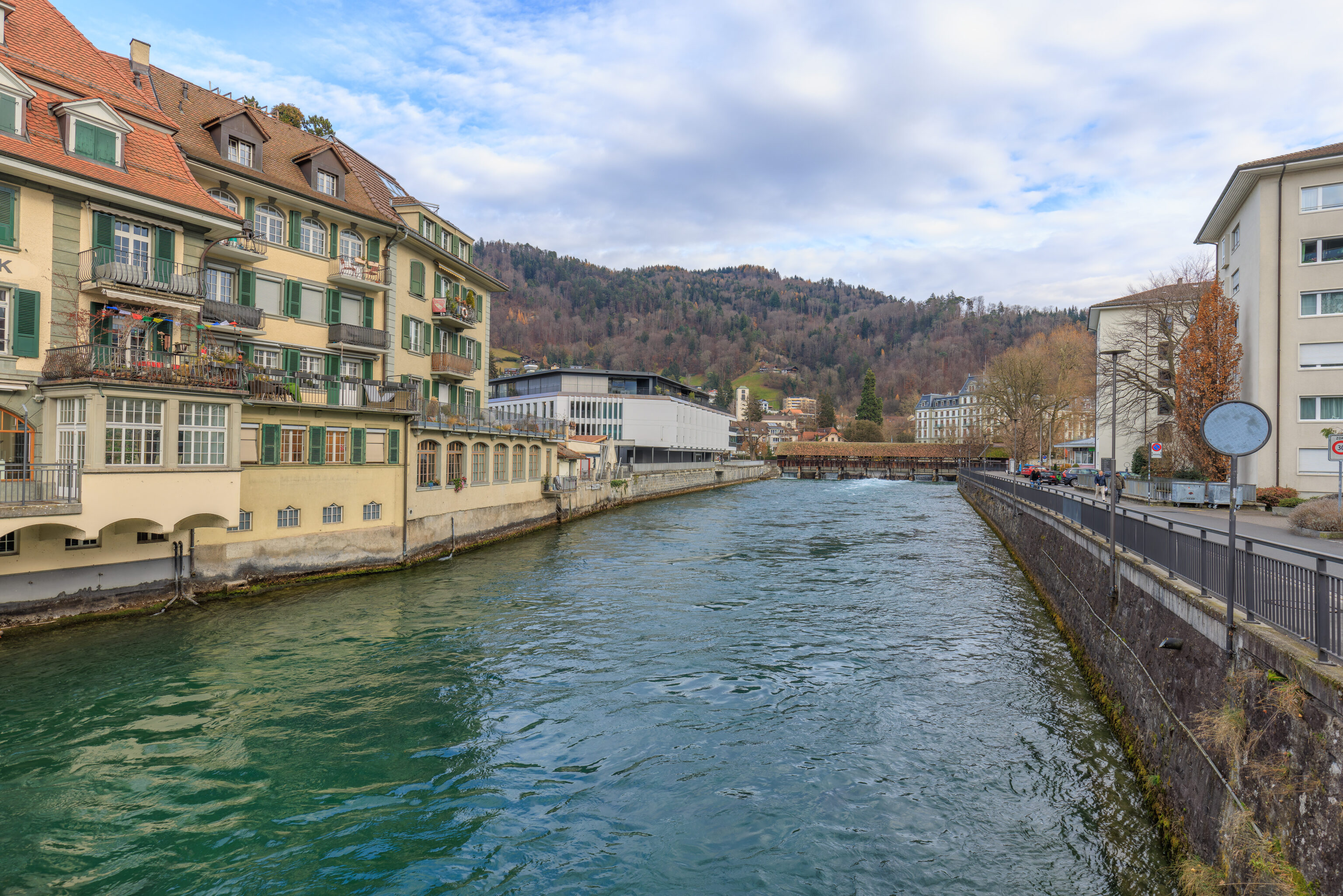
We crossed the southern bridge over the Aare. Looking to the east, we could see a covered bridge and dam. A bit like Interlaken!
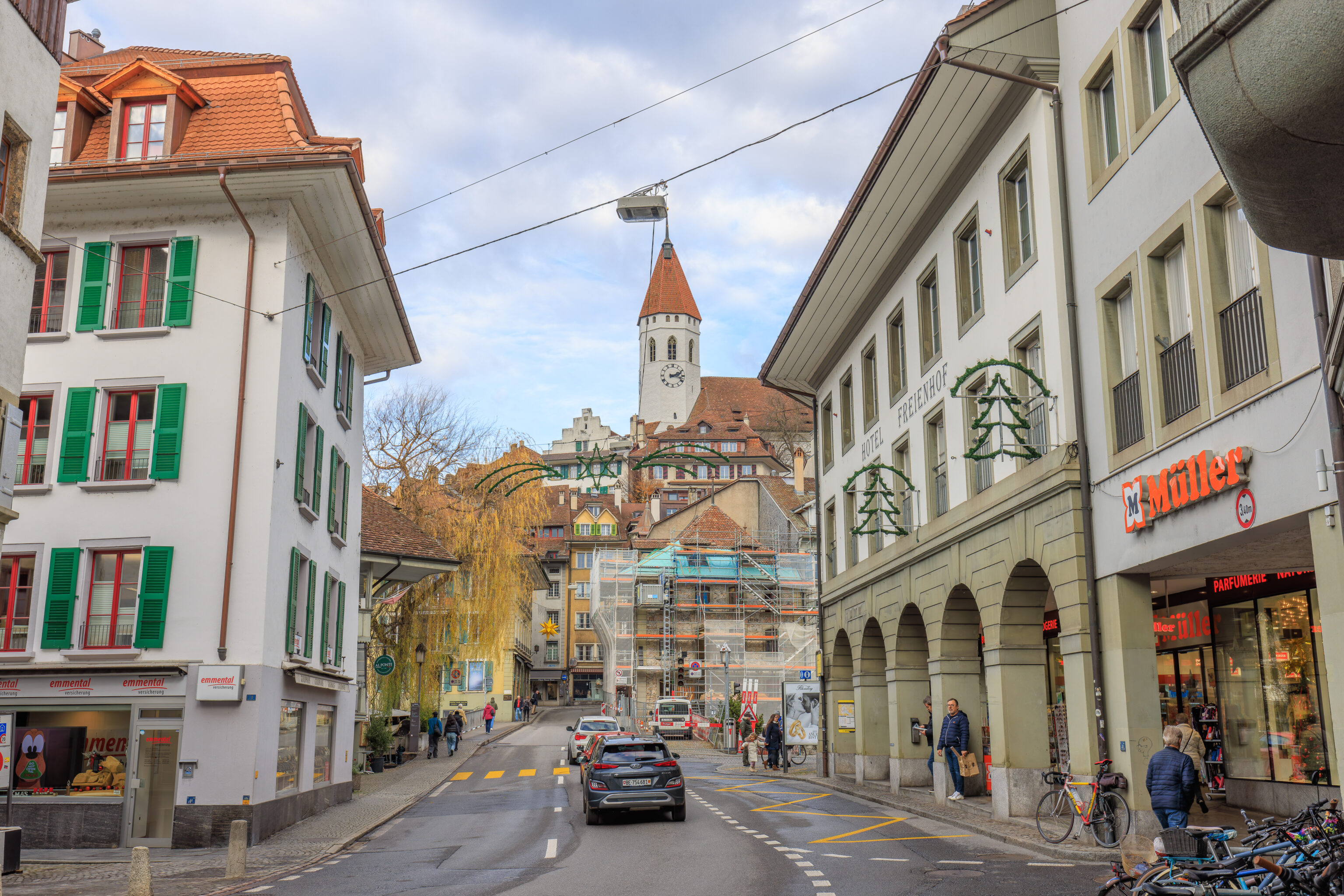
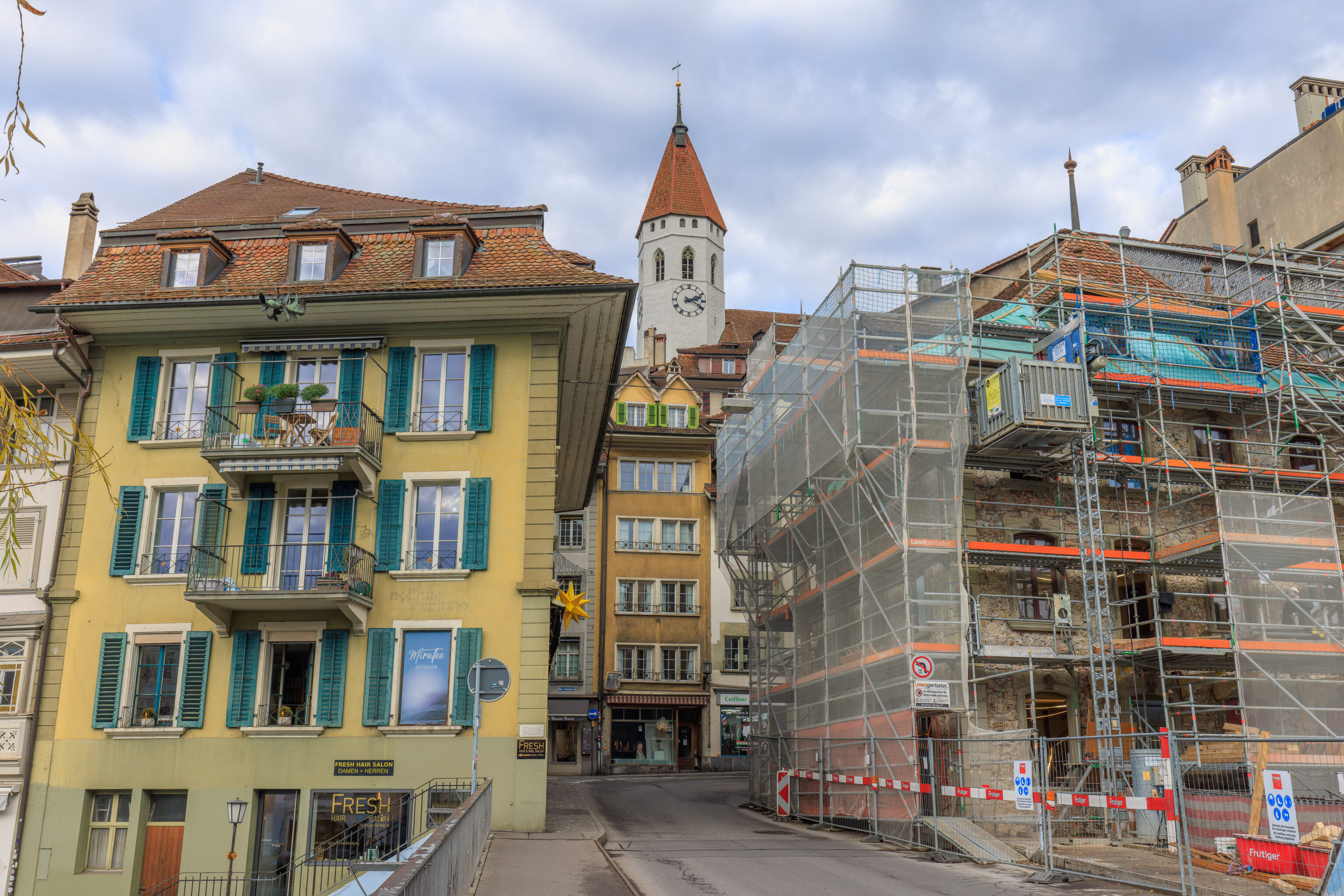
We could see the tower of a church on a hill in the distance. We continued walking north towards it.
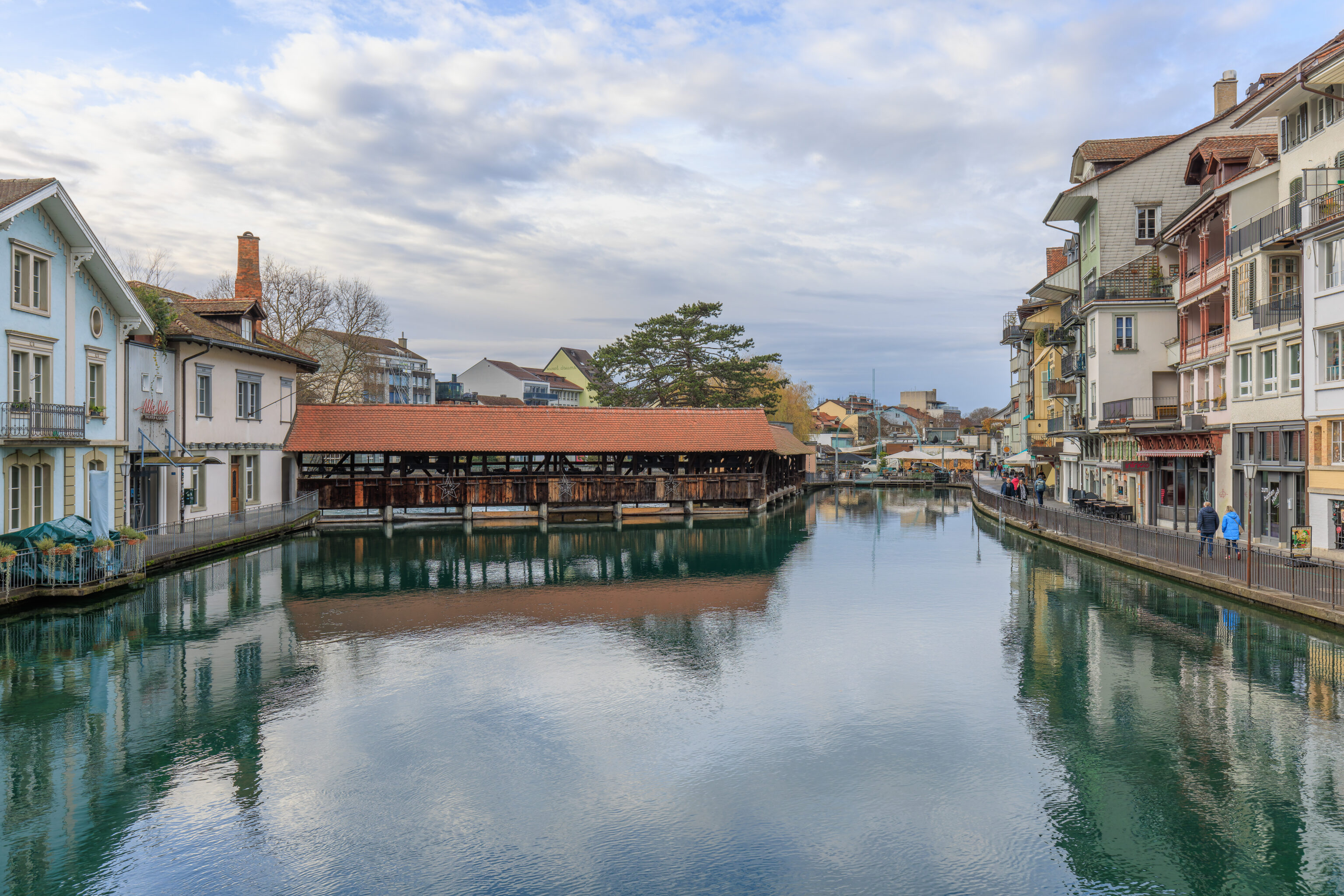
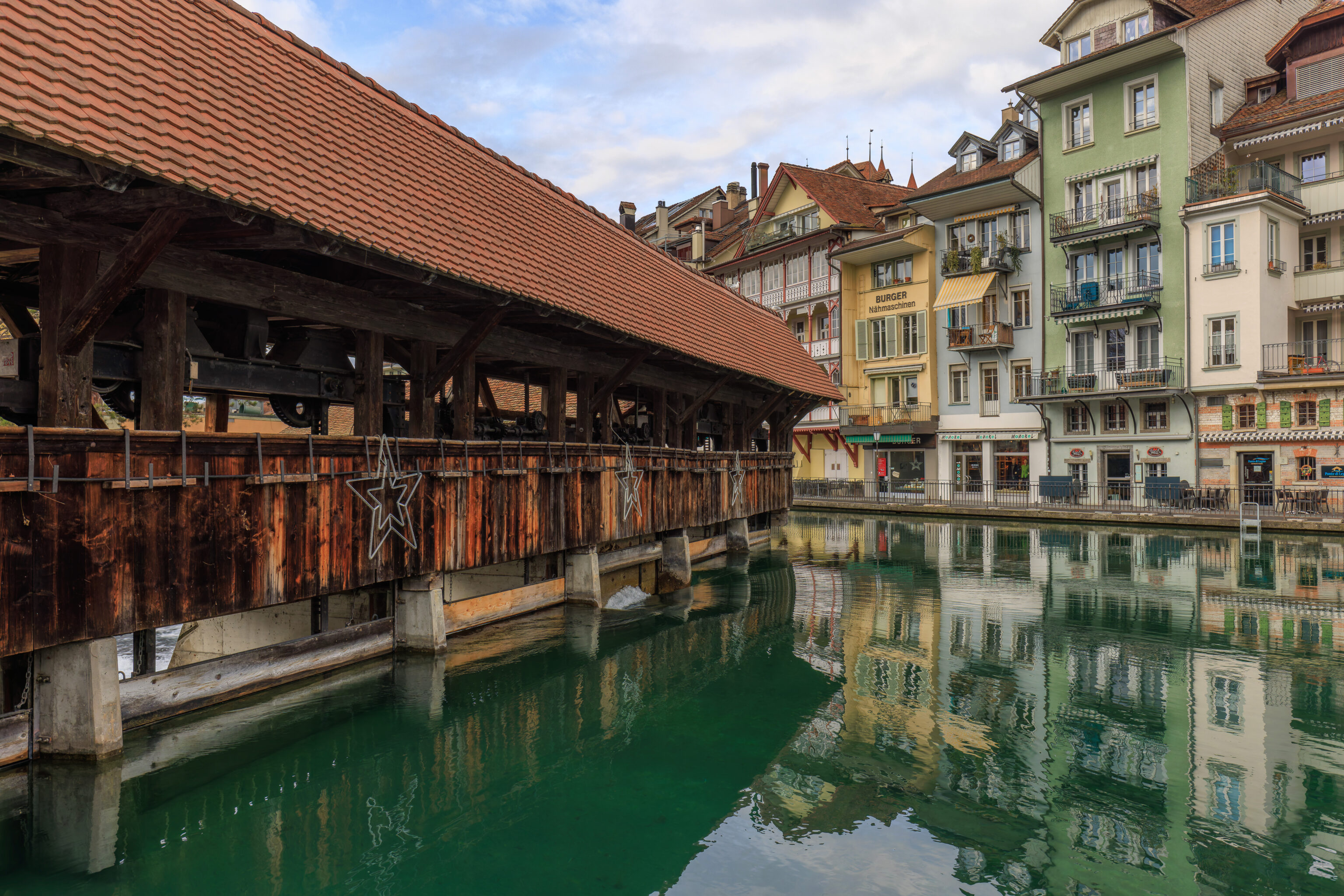
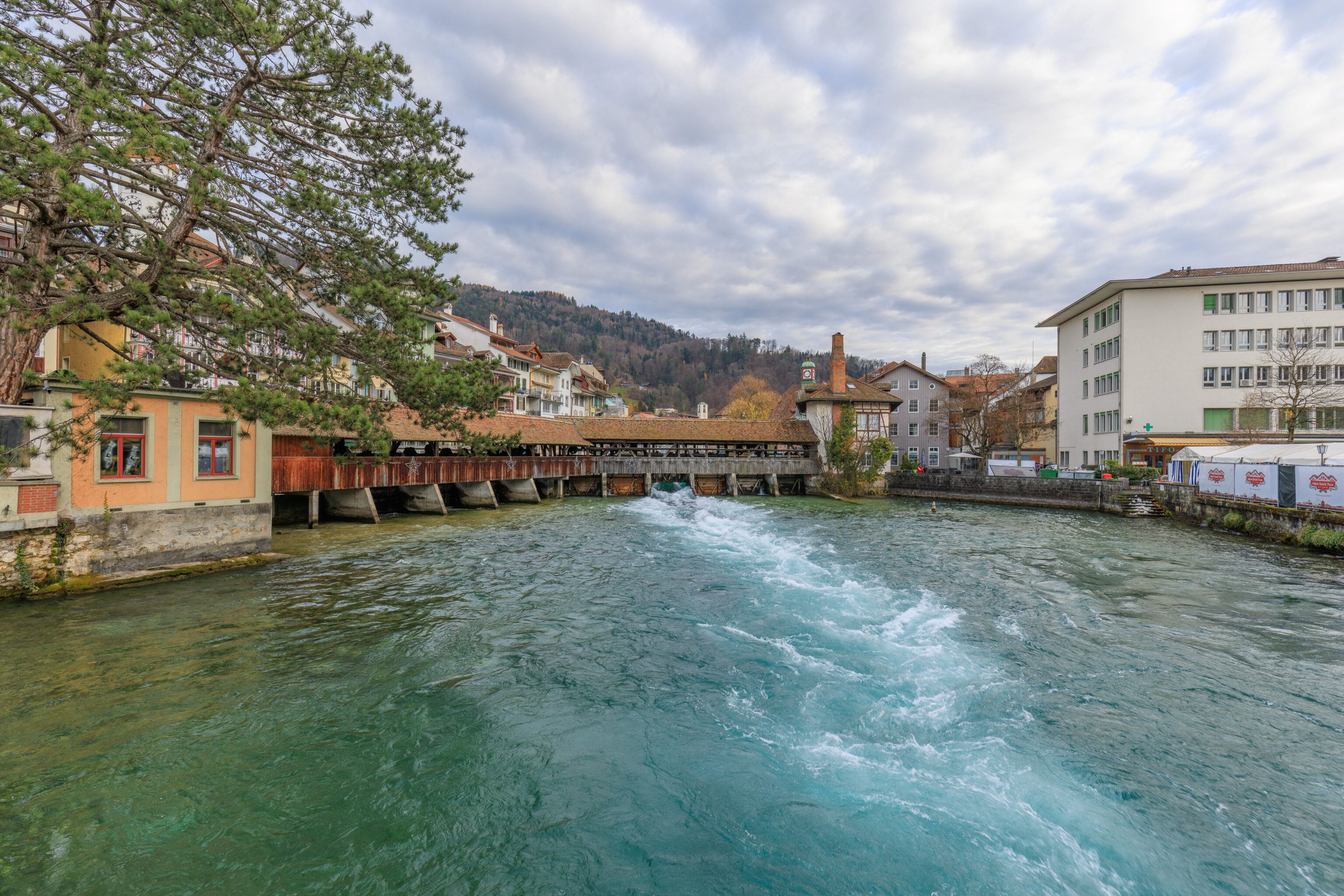
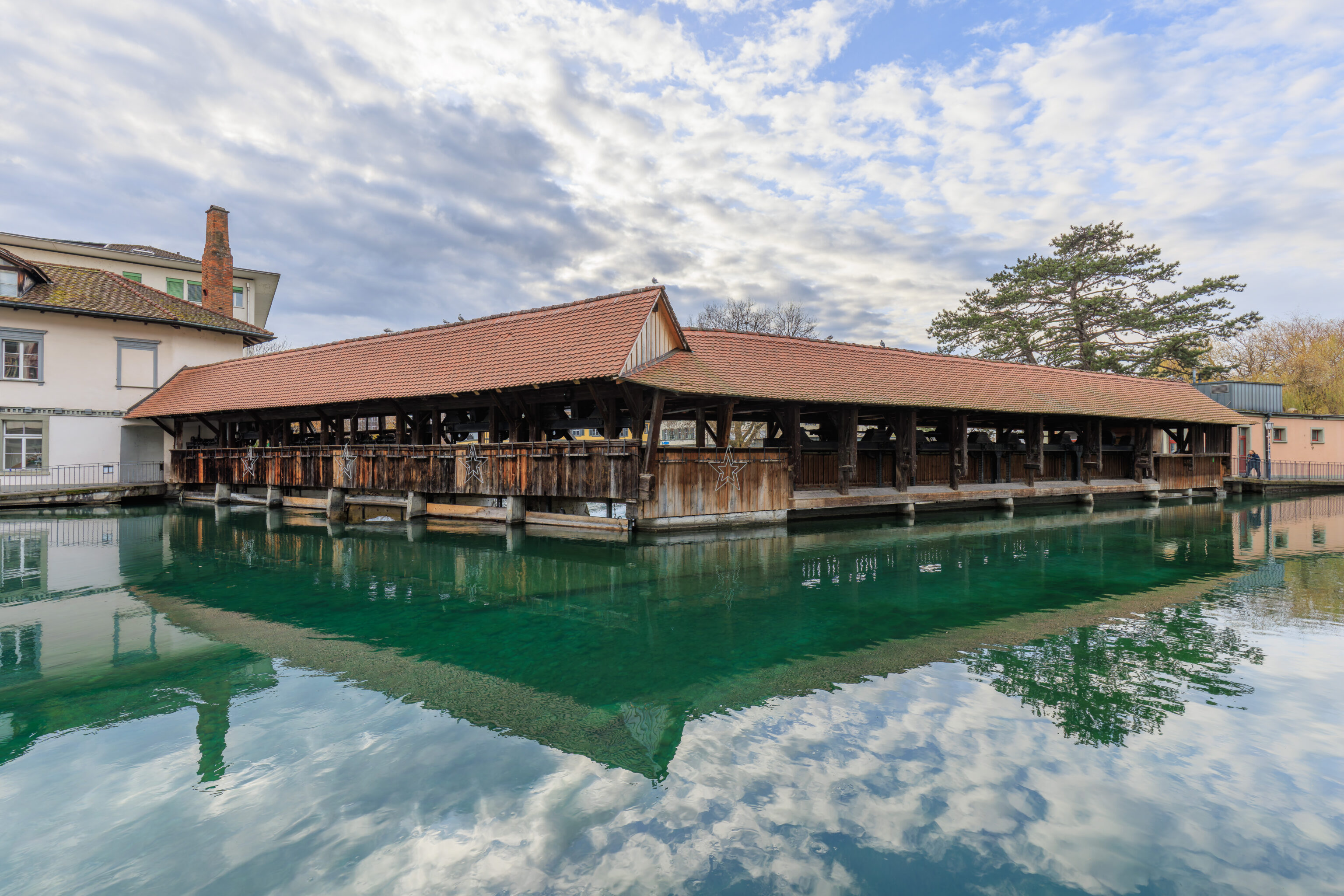
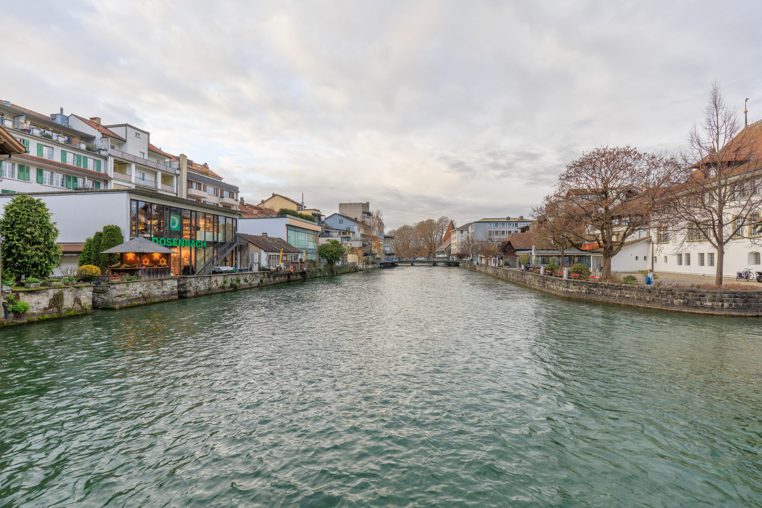
We quickly encountered the northern crossing over the Aare. To the west, we could see another dam with covered bridge above it, the Mühleschleuse. We decided to go for a closer look.
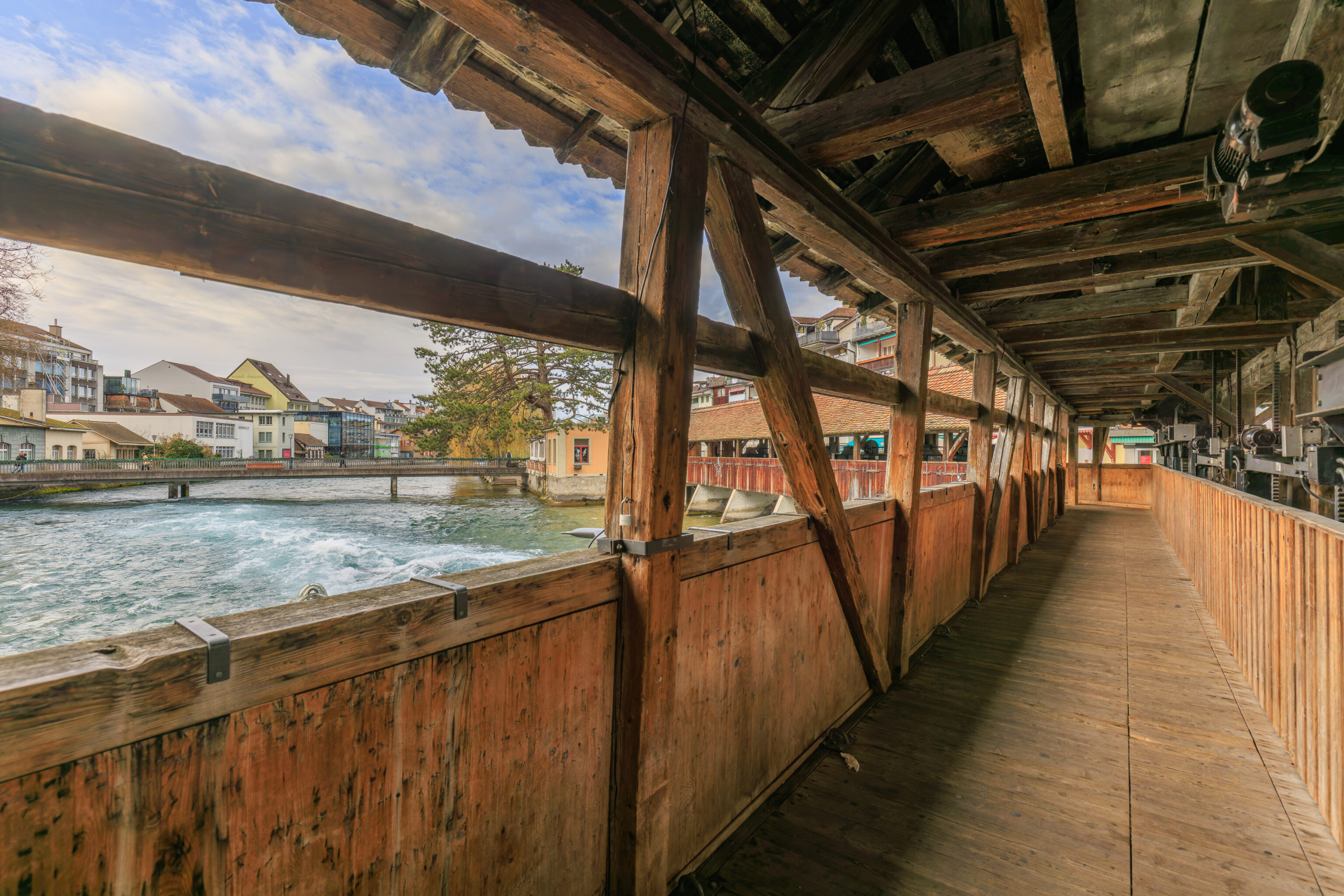
We decided to walk across the Mühleschleuse. The left side is open with downstream views of the river while the right side is blocked by machinery used to control the water flow through the dam.
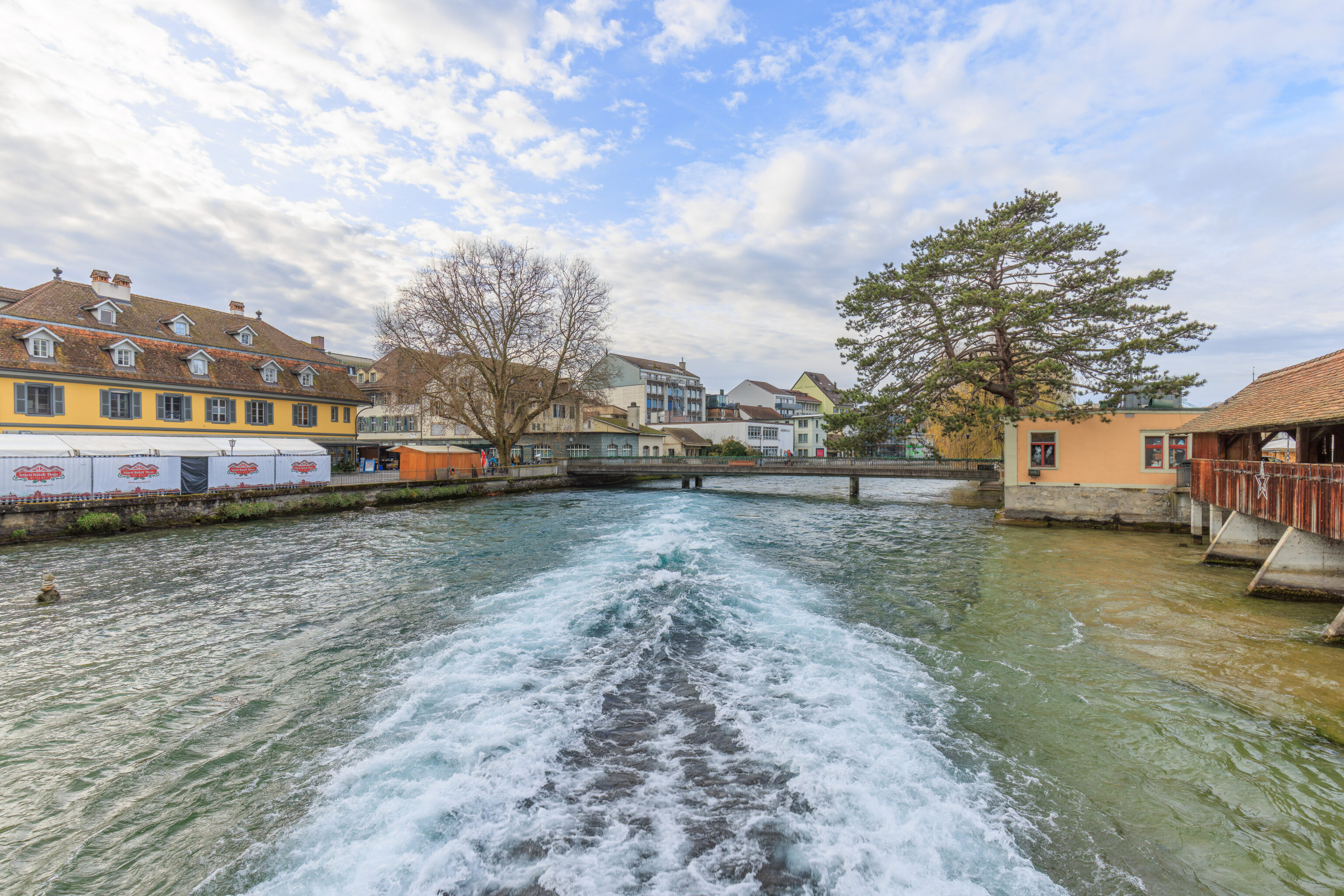
The flow through the dam was incredibly powerful, almost like being on a somewhat large boat.
The jet of water as seen from the side.
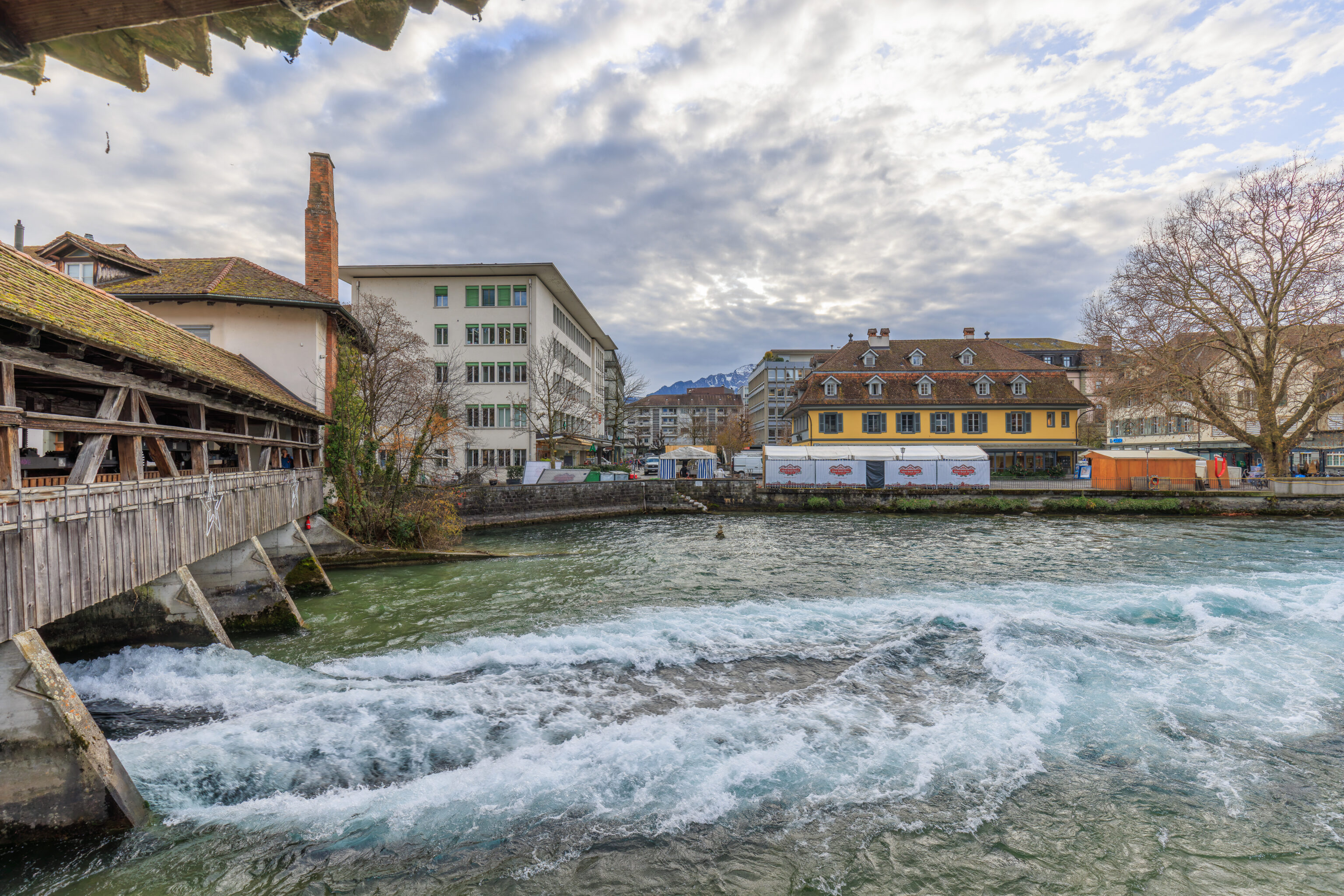
The end of the Mühleschleuse has something of a barn-like appearance. The water to the left was pretty still and dead-ends here.
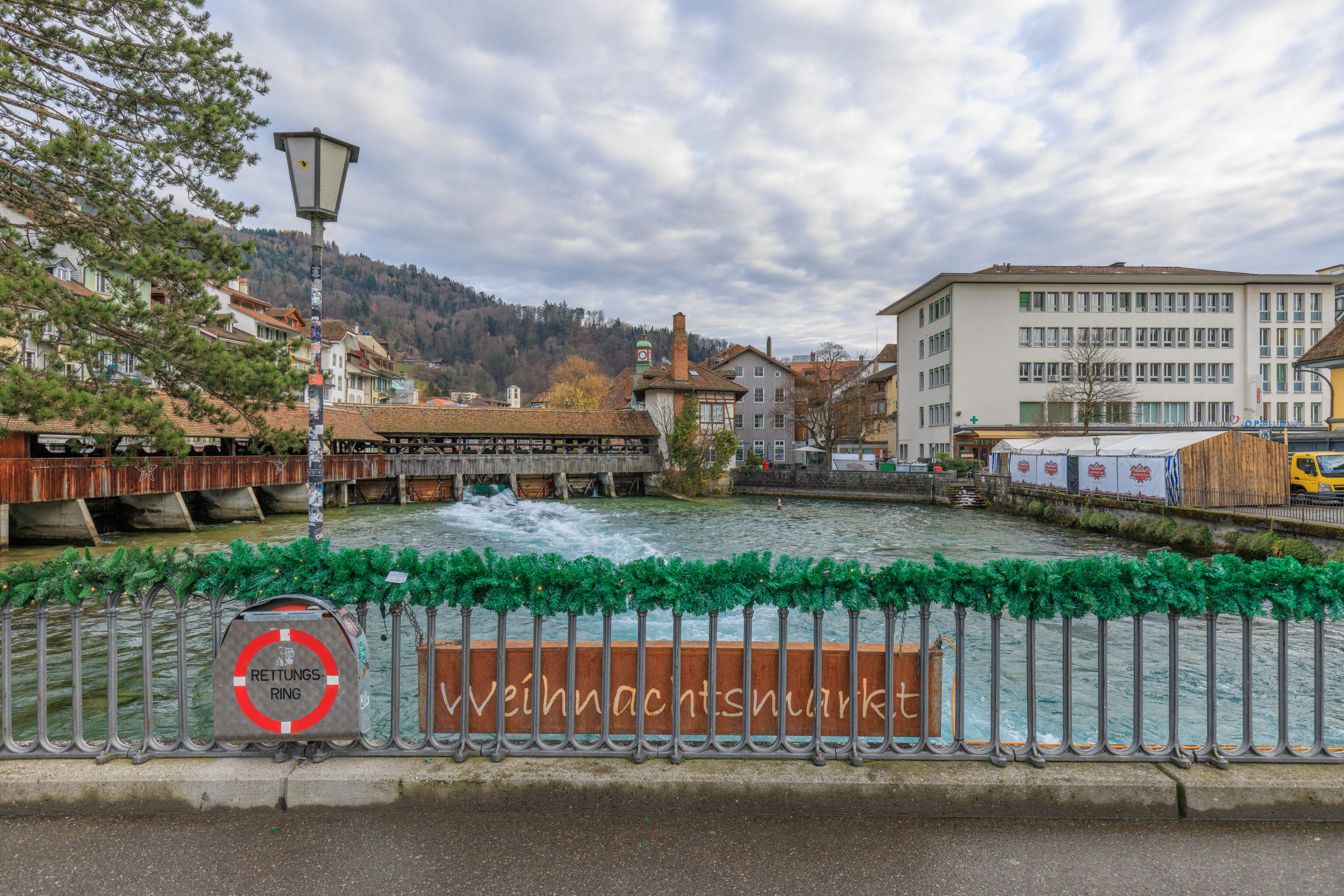
The Mühleschleuse as seen from the next bridge downstream, the Mühlebrüggli. There is going to be a Christmas market here as the sign suggests, though it wasn’t set up yet. It is scheduled to operate from the 5th through the 23rd.
The same view but without the bridge’s railing.
We recorded the water flowing through the dam from the Mühlebrüggli.
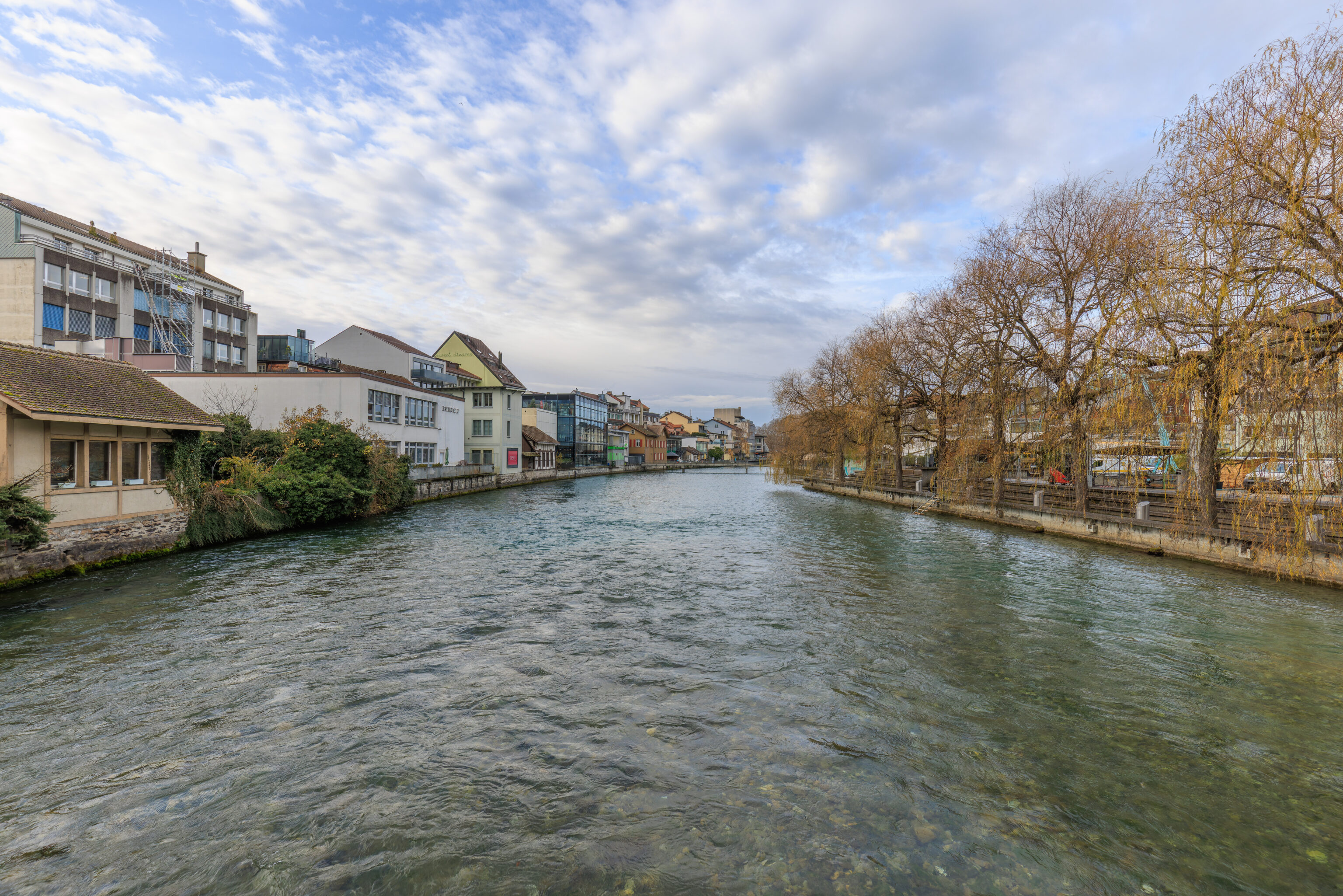
The view from the bridge but in the opposite direction, downstream to the west.
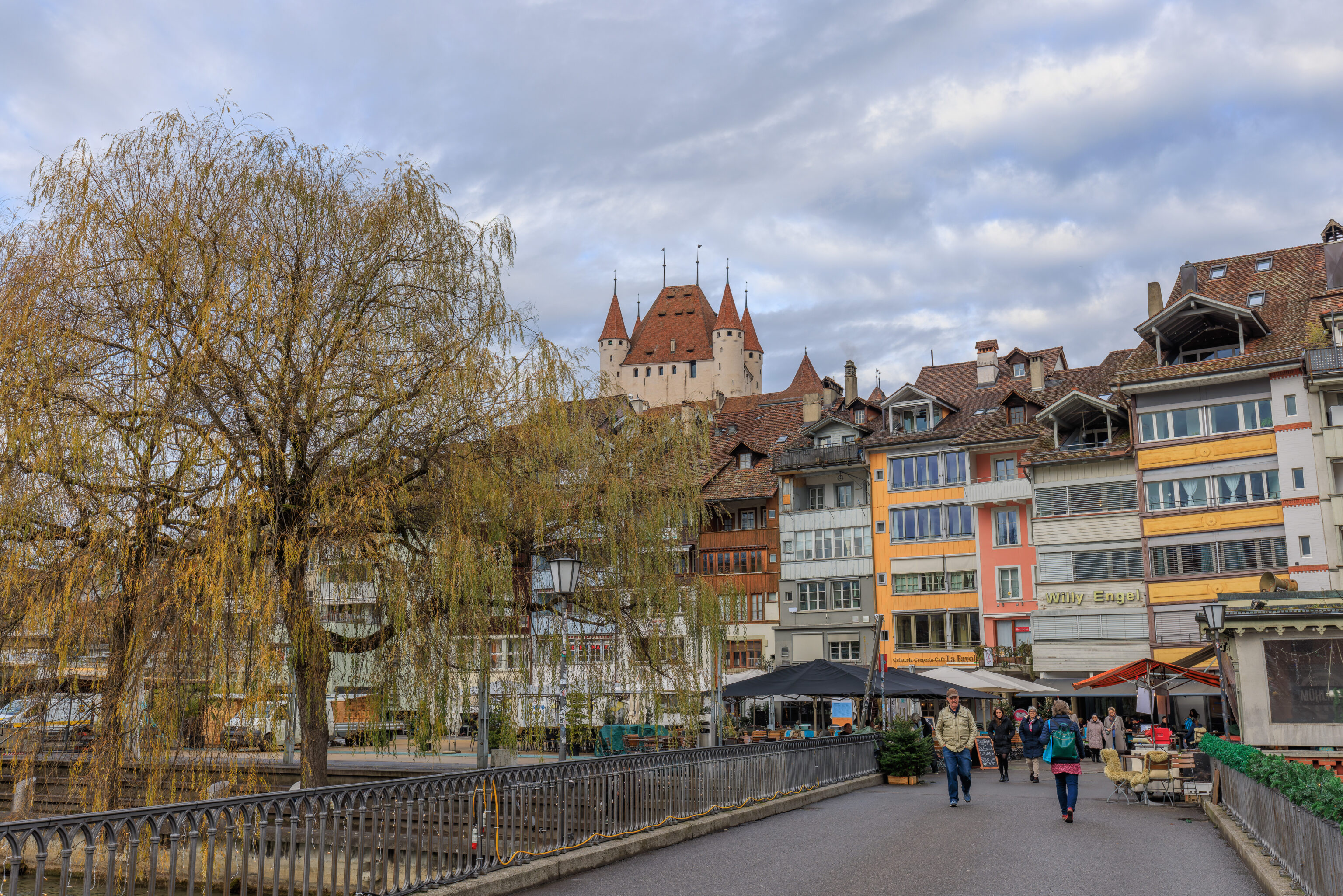
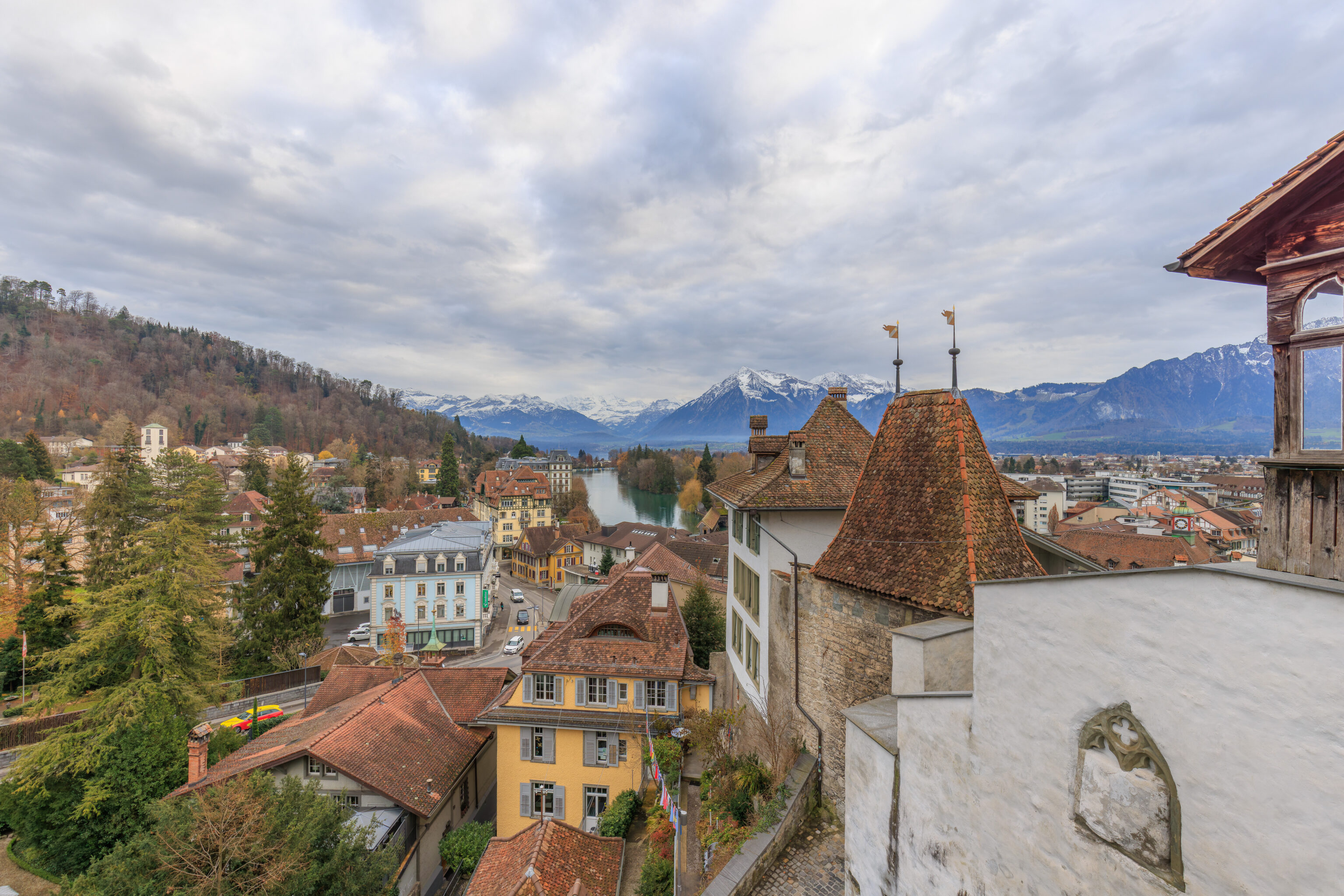
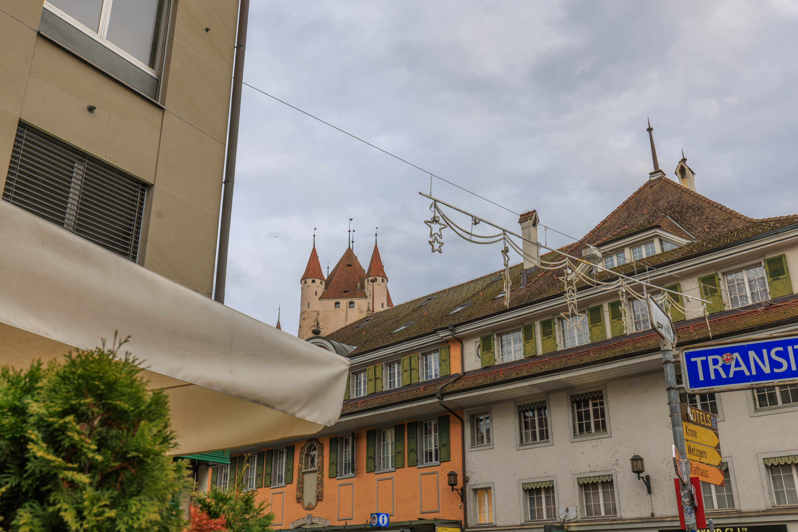
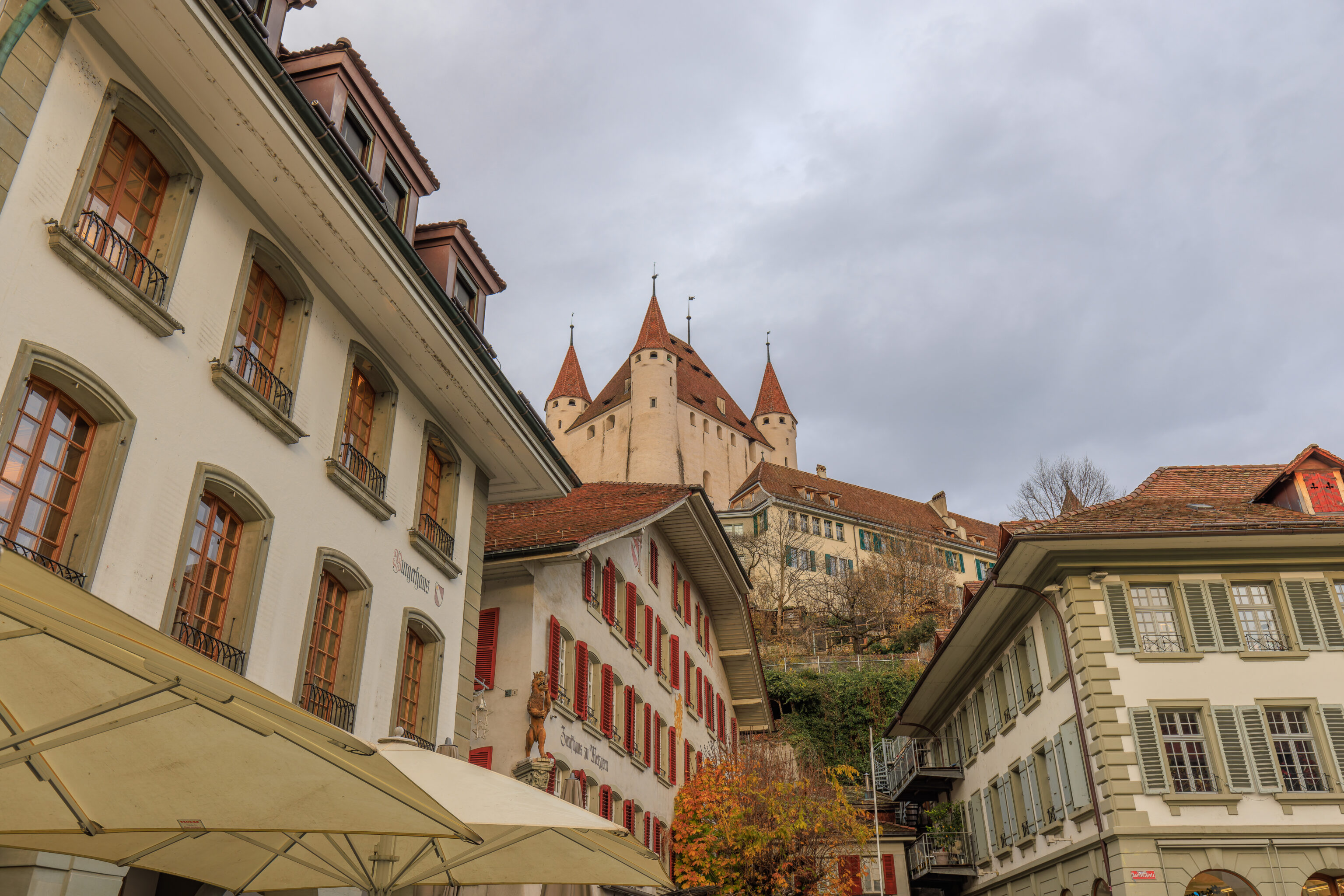
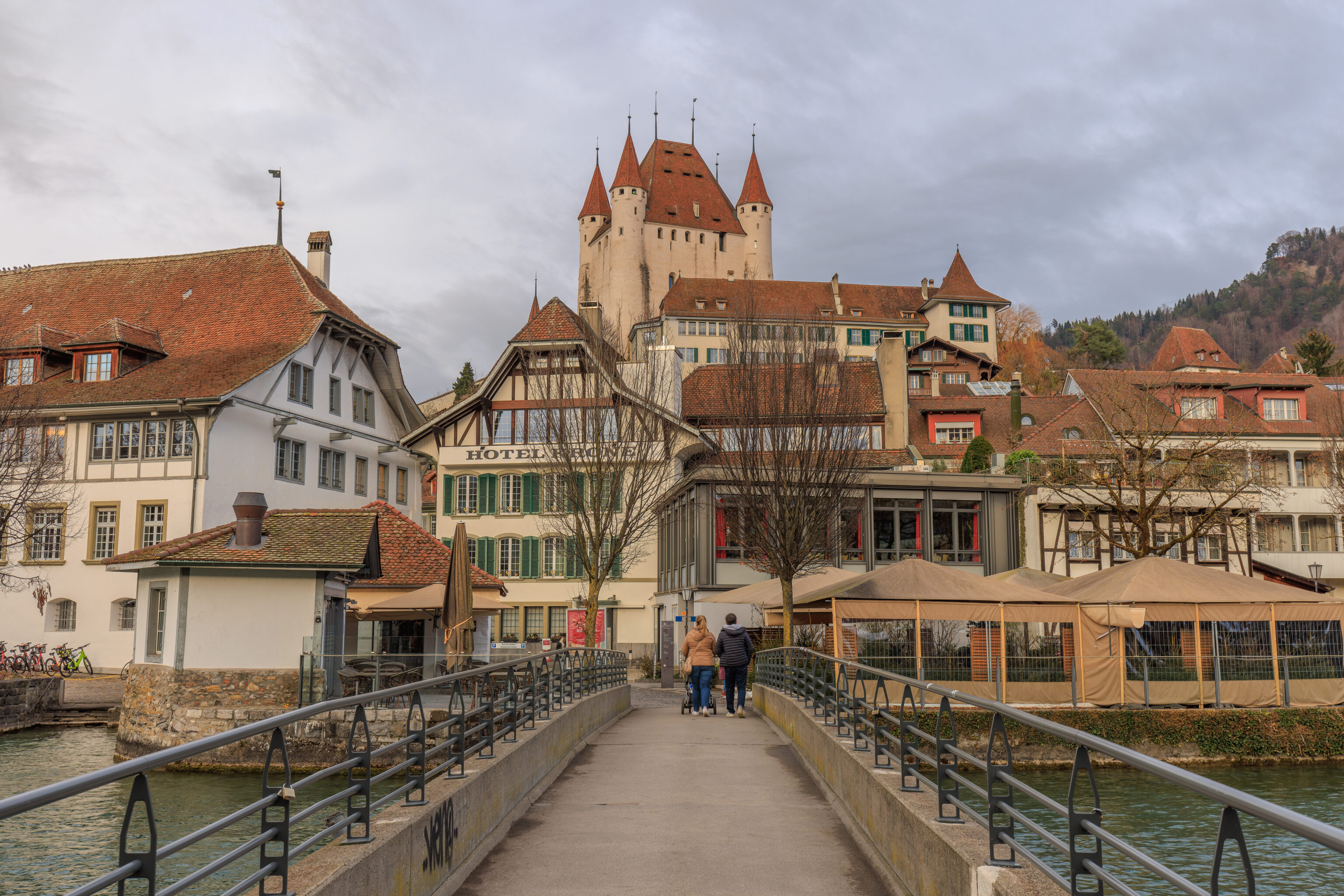
Looking to the north from the Mühlebrüggli, we could see the upper portion of Schloss Thun which is where we are headed to.
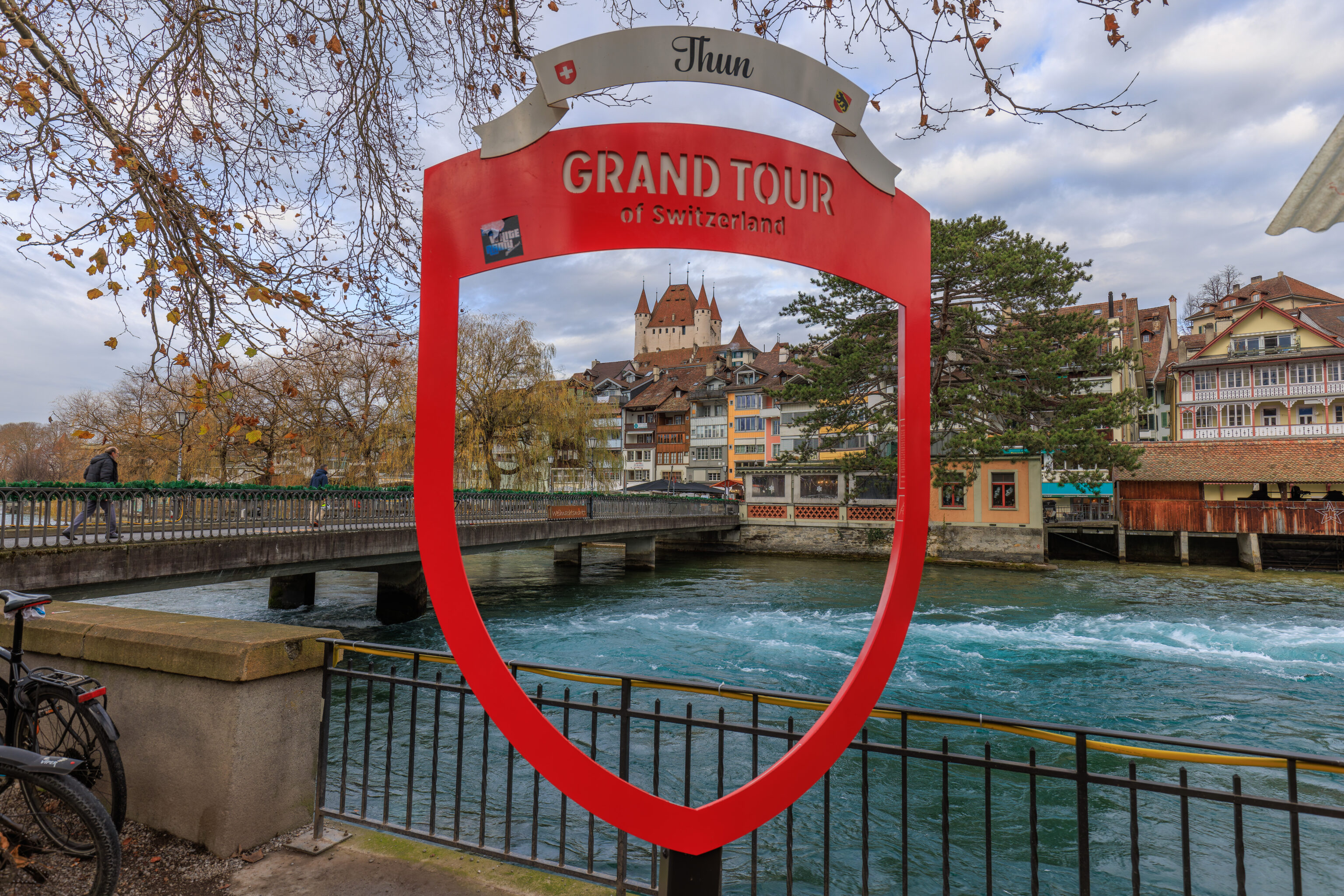
We found a Grand Tour photo spot on the south end of the Mühlebrüggli!
We returned the north side of the Aare and started walking to the east, more or less, as there is a path that leads up to the castle there.
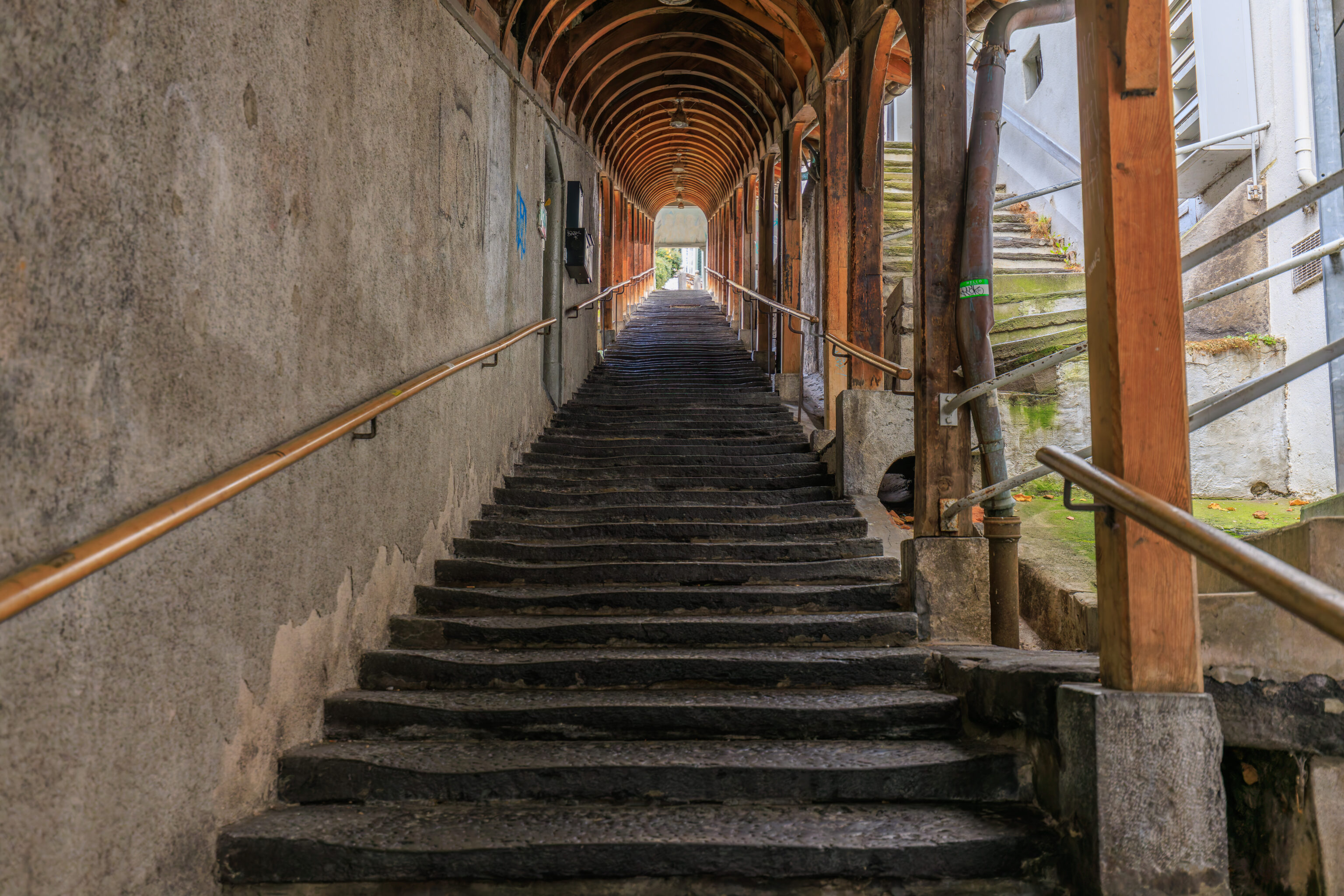
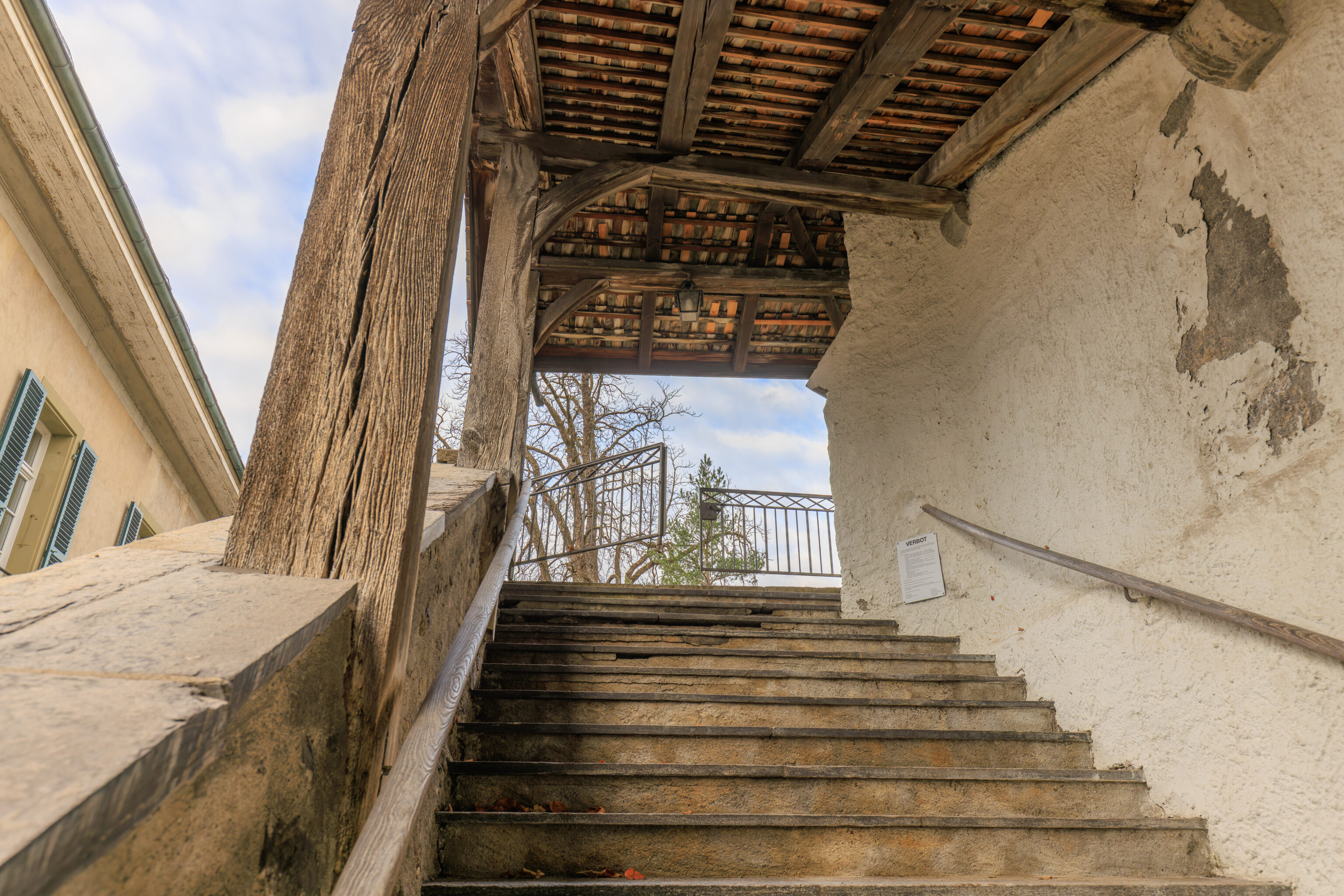
The path ended up being a covered stairway.
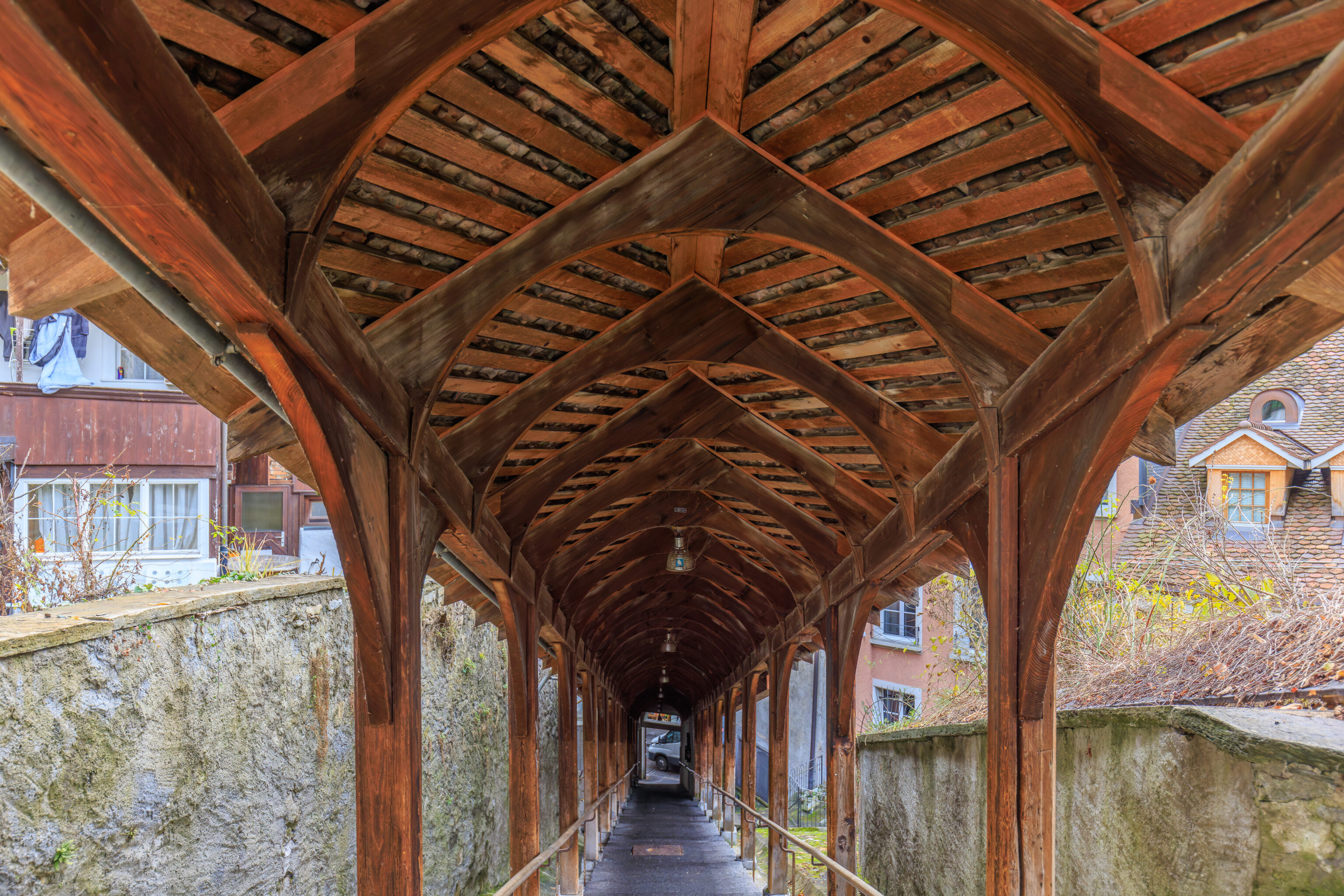
The view from the top of the stairs.
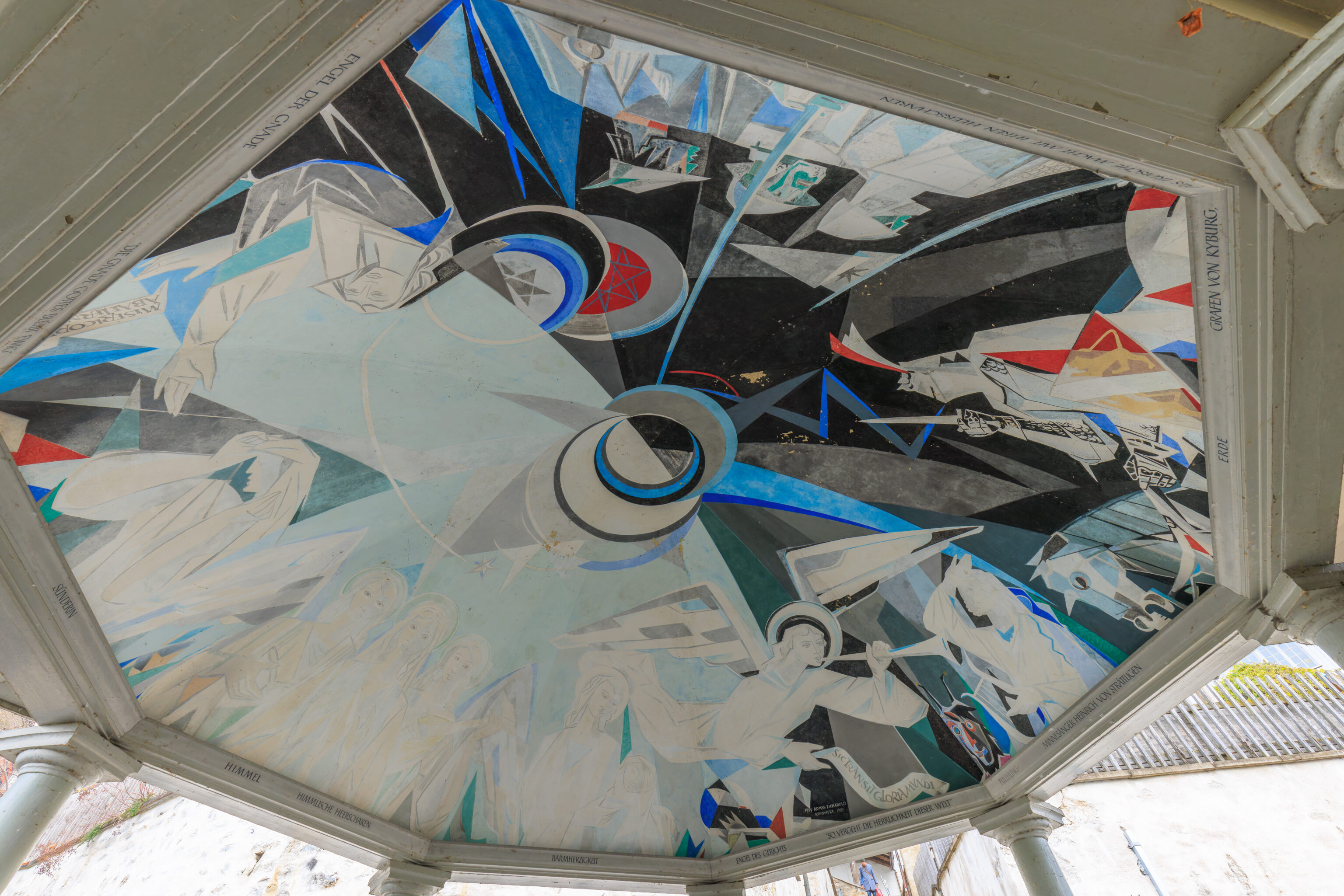
There is a little octagonal covered area at the top of the stairs.
The hillside is terraced.
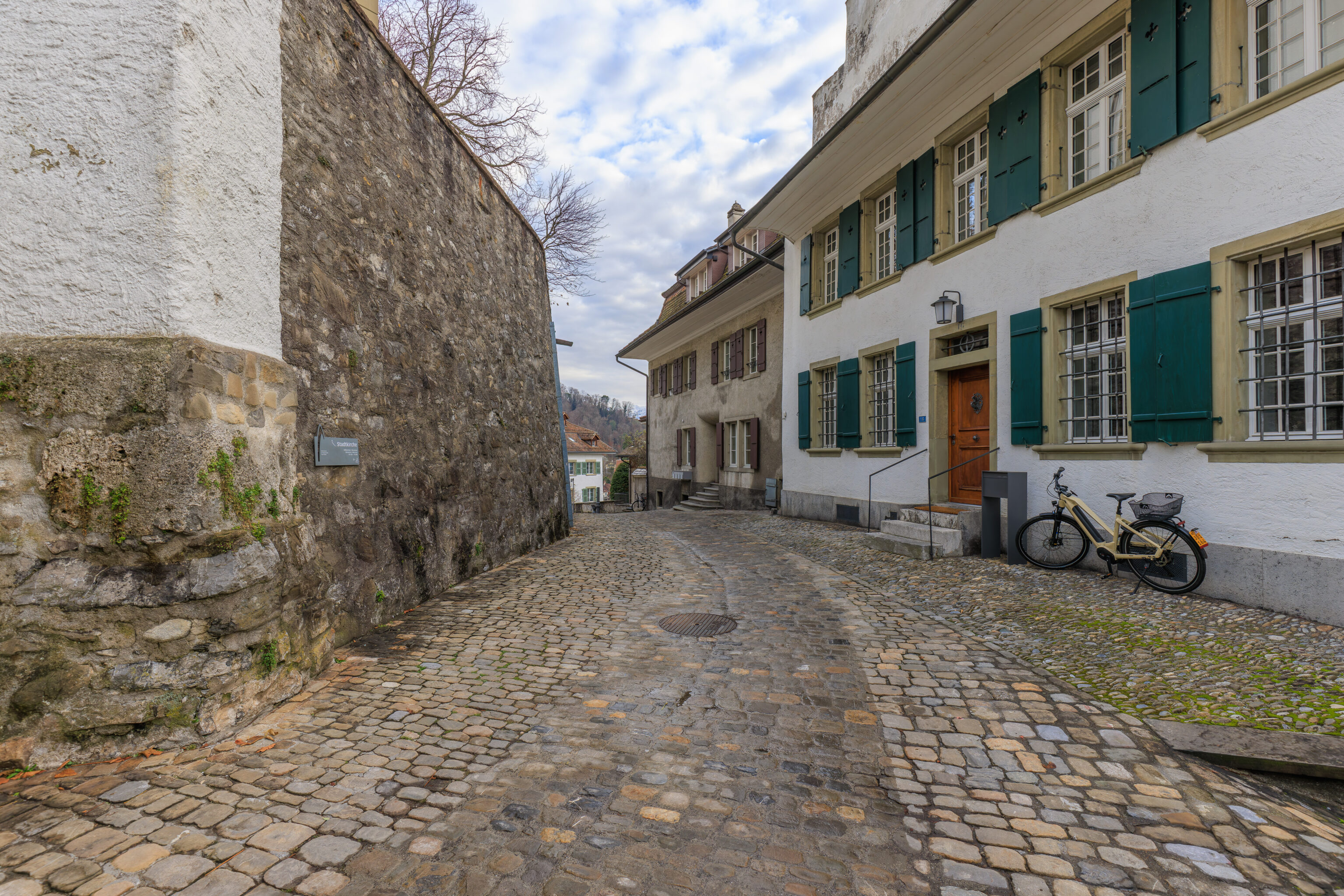
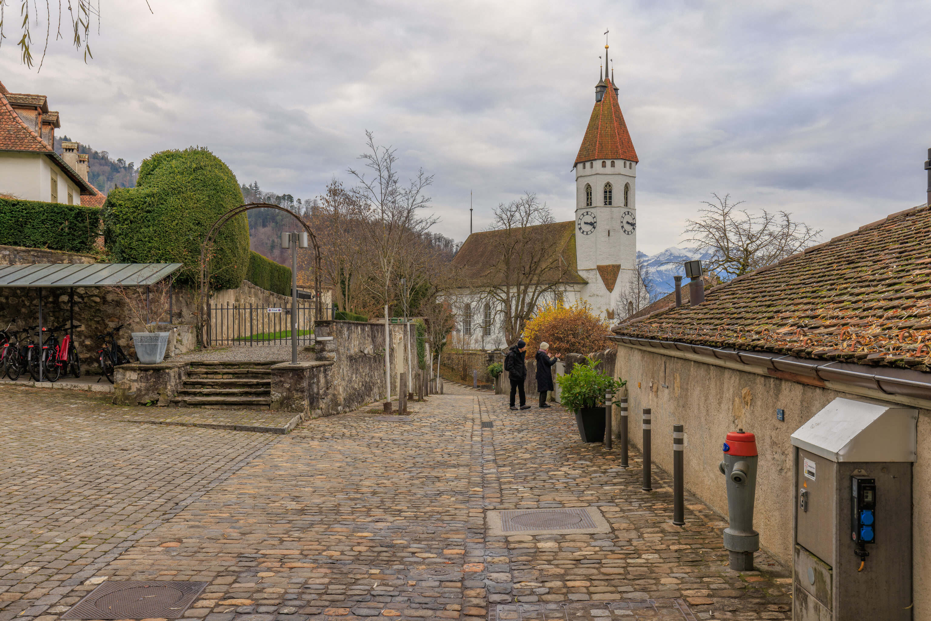
There is a small road here. The sign indicates that the Stadtkirche is to the left.
We walked up some more stairs directly beyond the covered stairs.
And, we went up more stairs to go through an open metal gate.
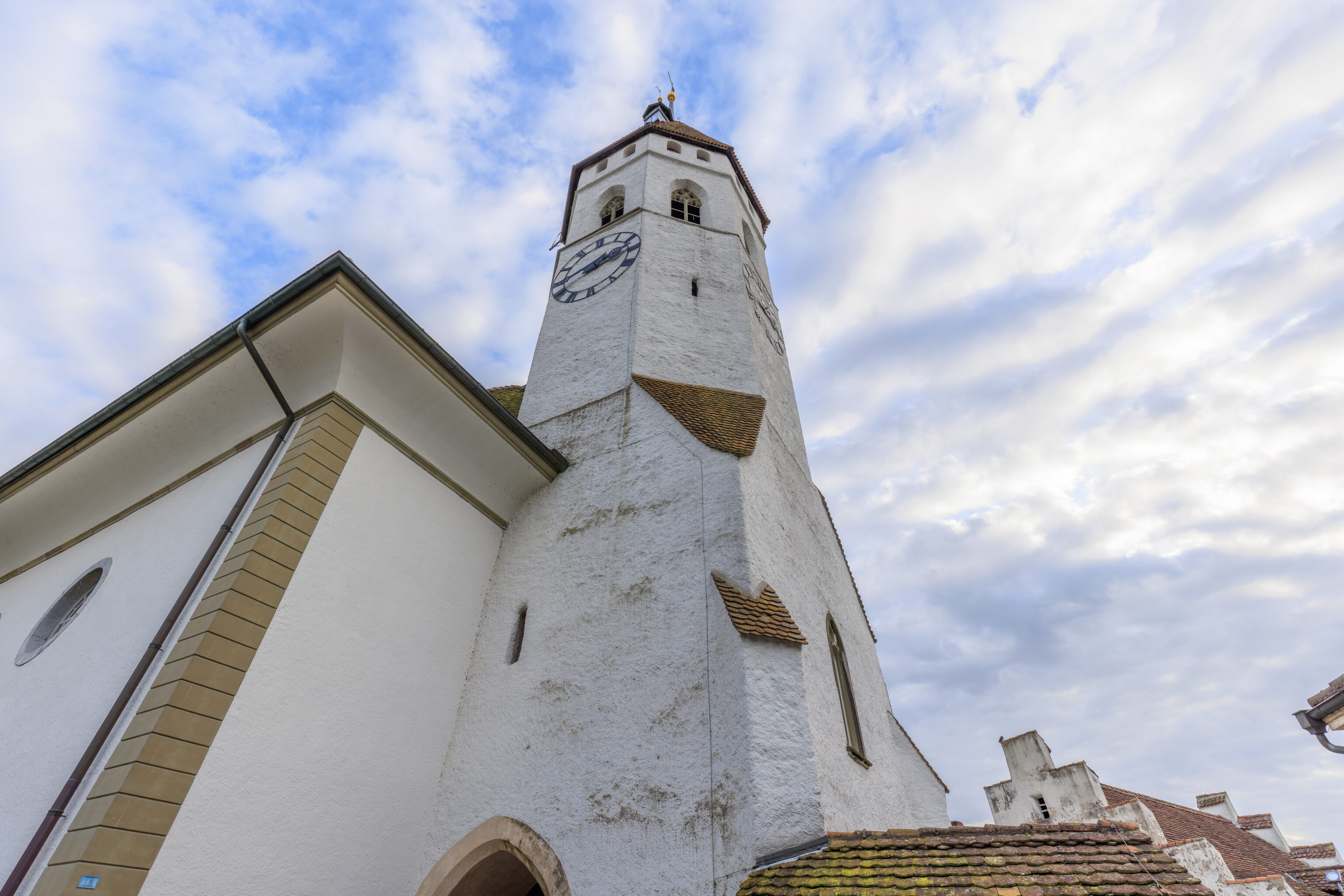
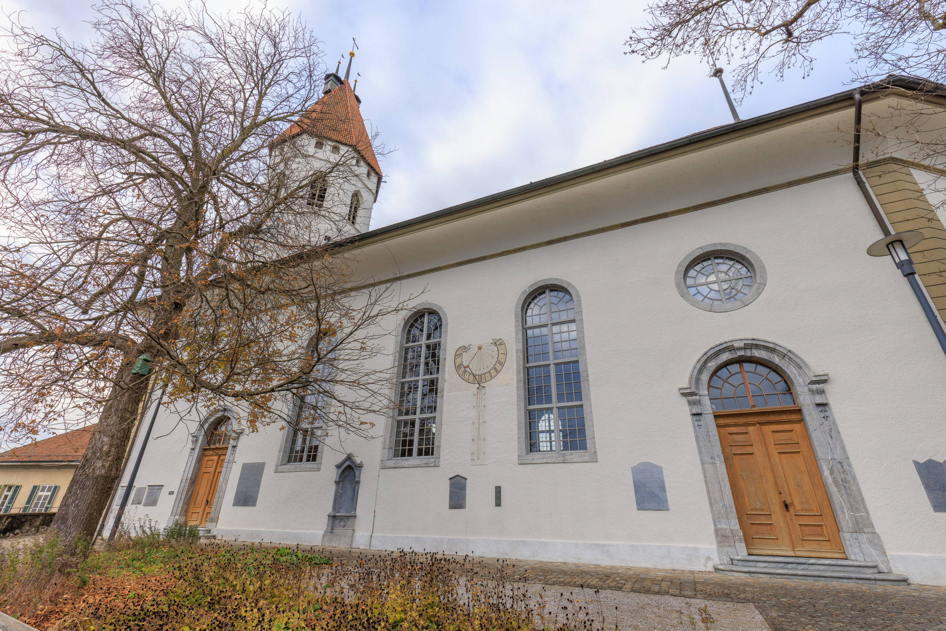
We ended up right next to the Stadtkirche. This is the same church that we saw earlier from down below.
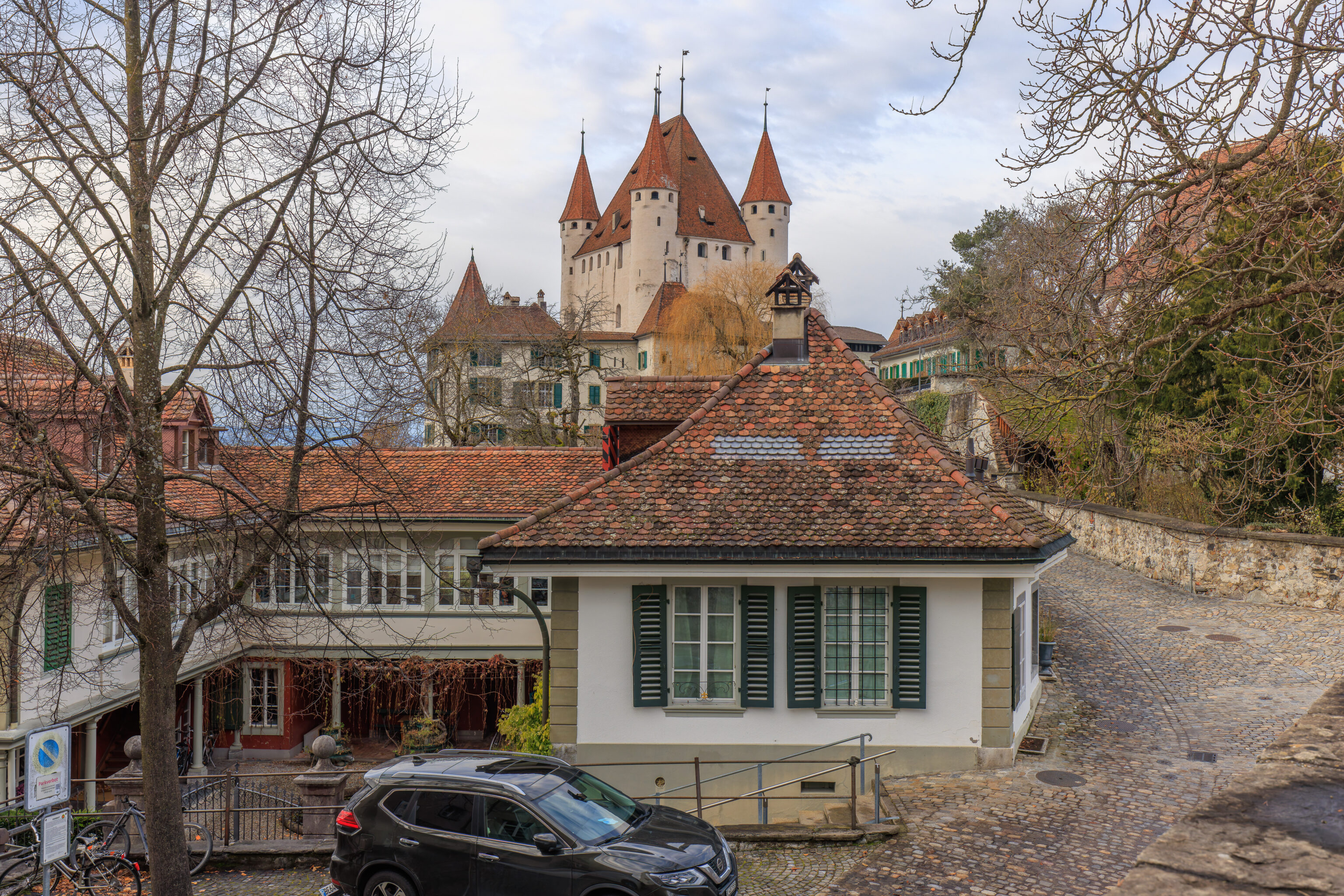
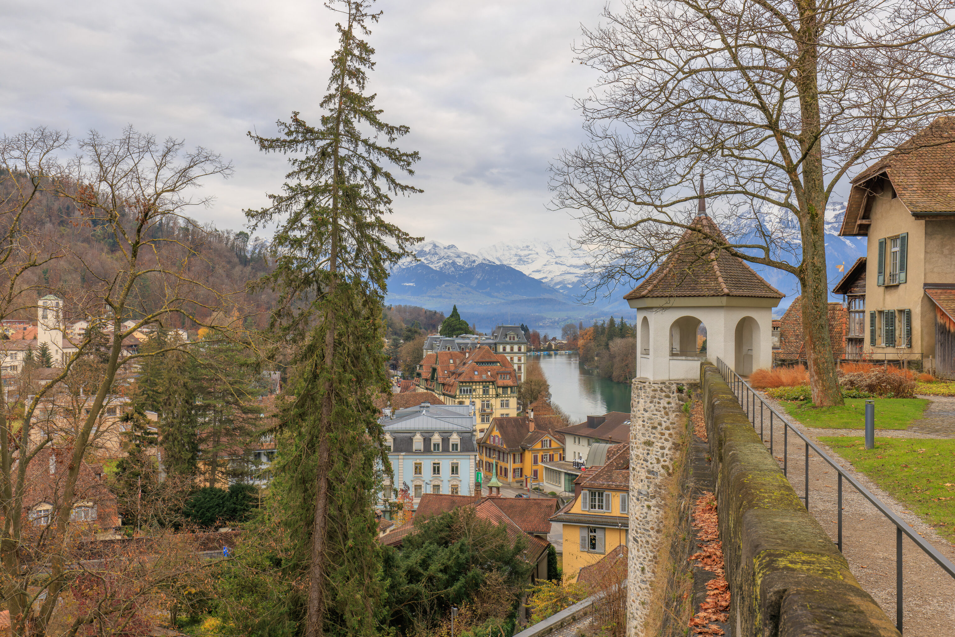
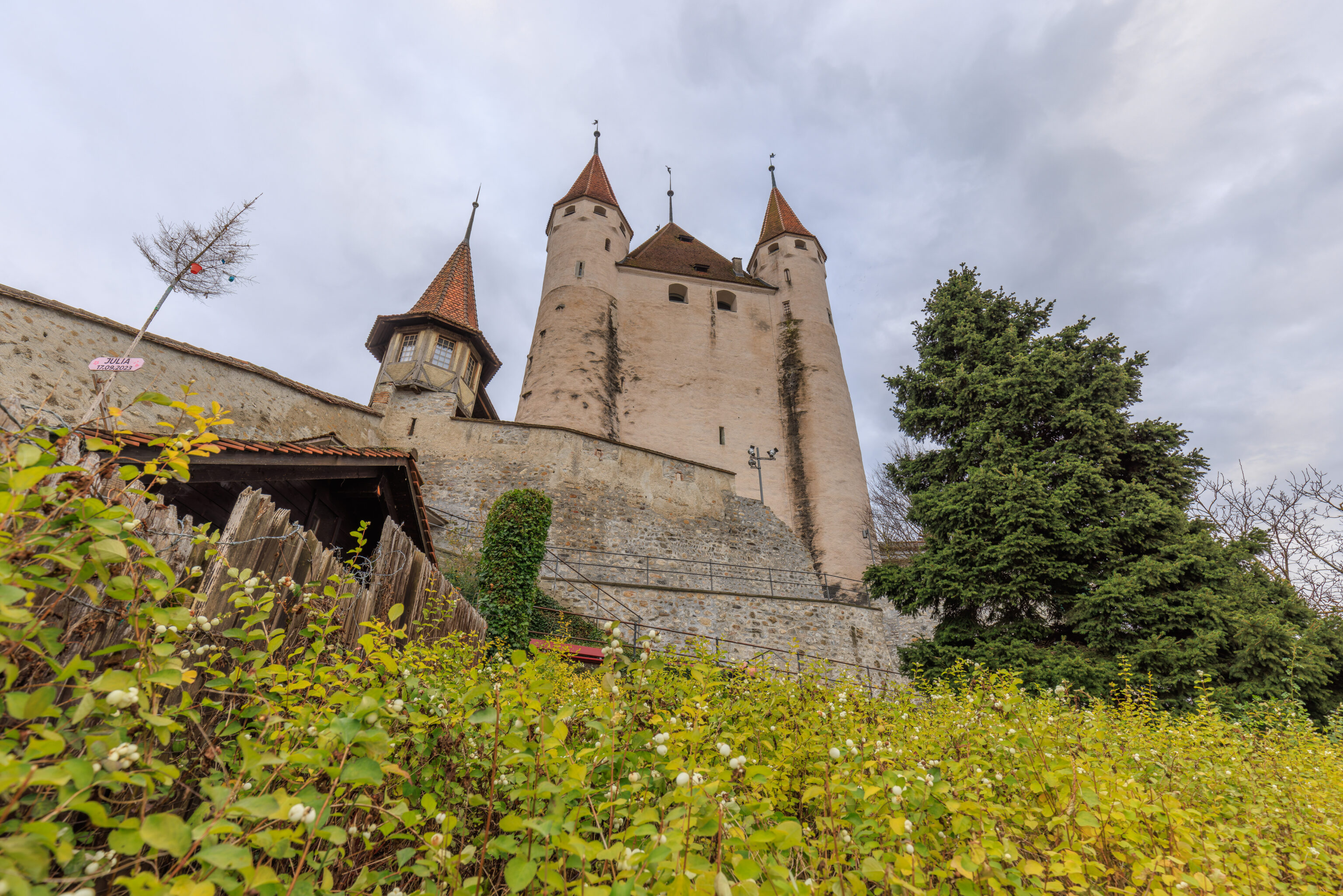
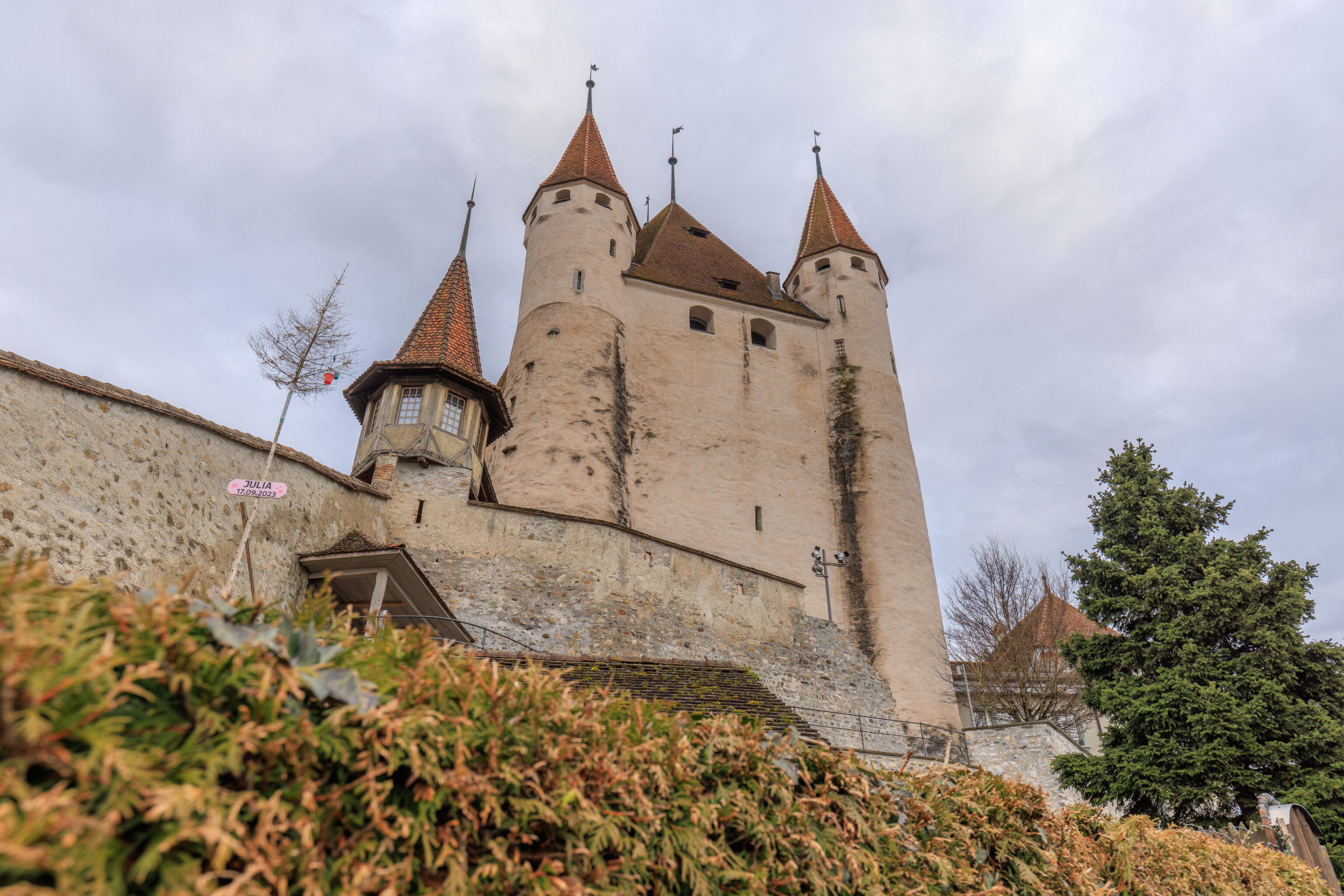
Looking to the west, we could see Schloss Thun.
The entrance to the church is directly under the church’s tower. It had a small window looking to the south.
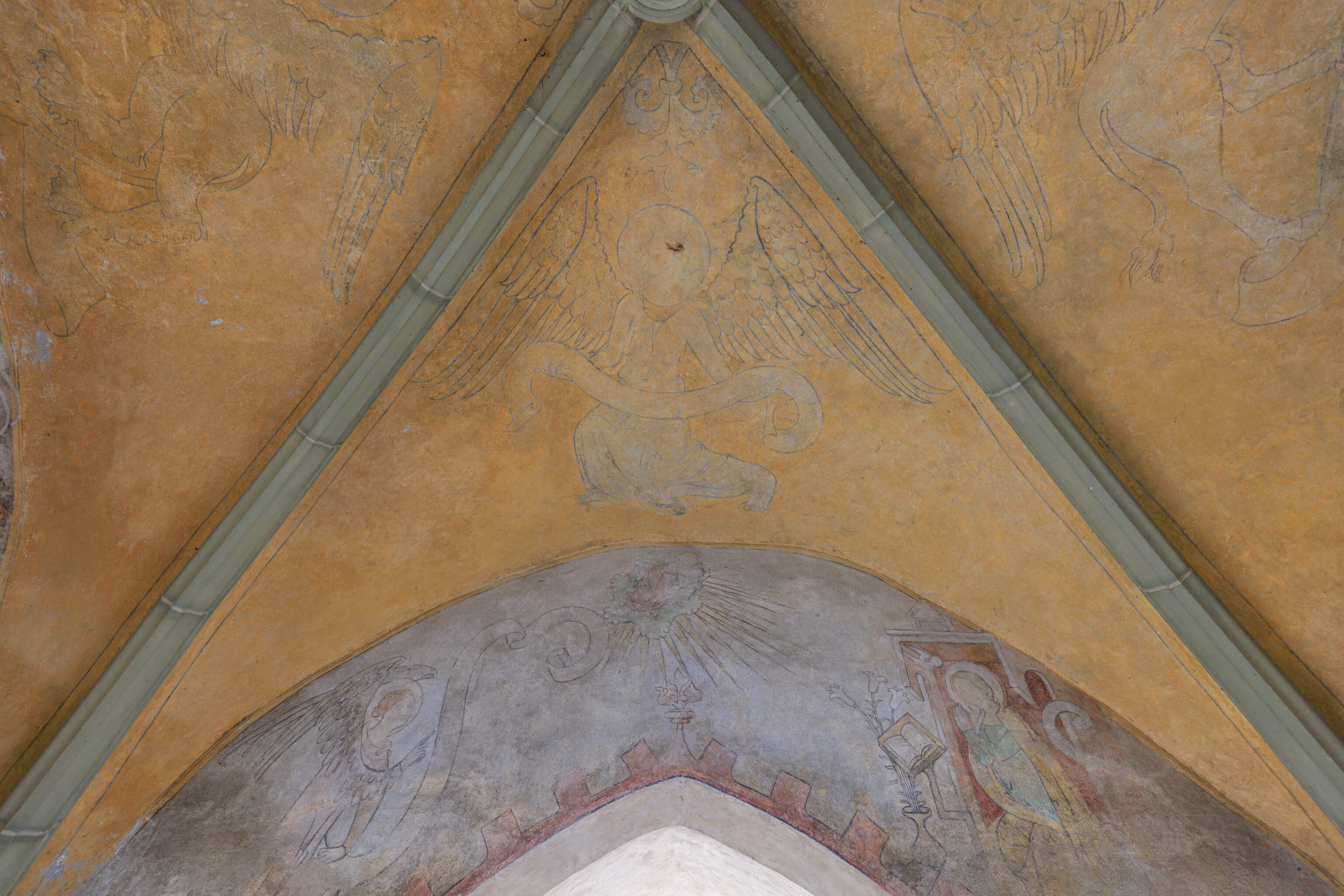
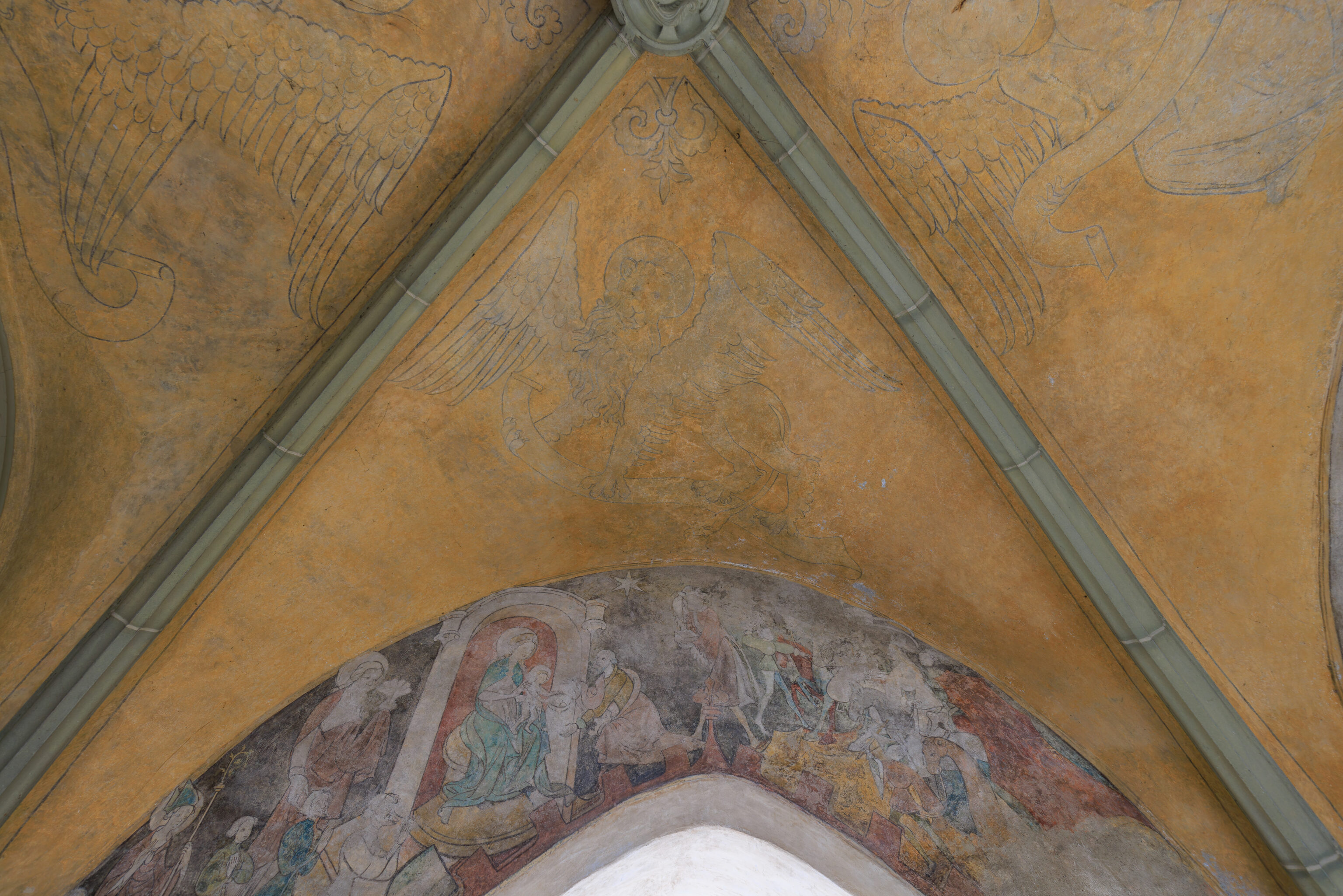
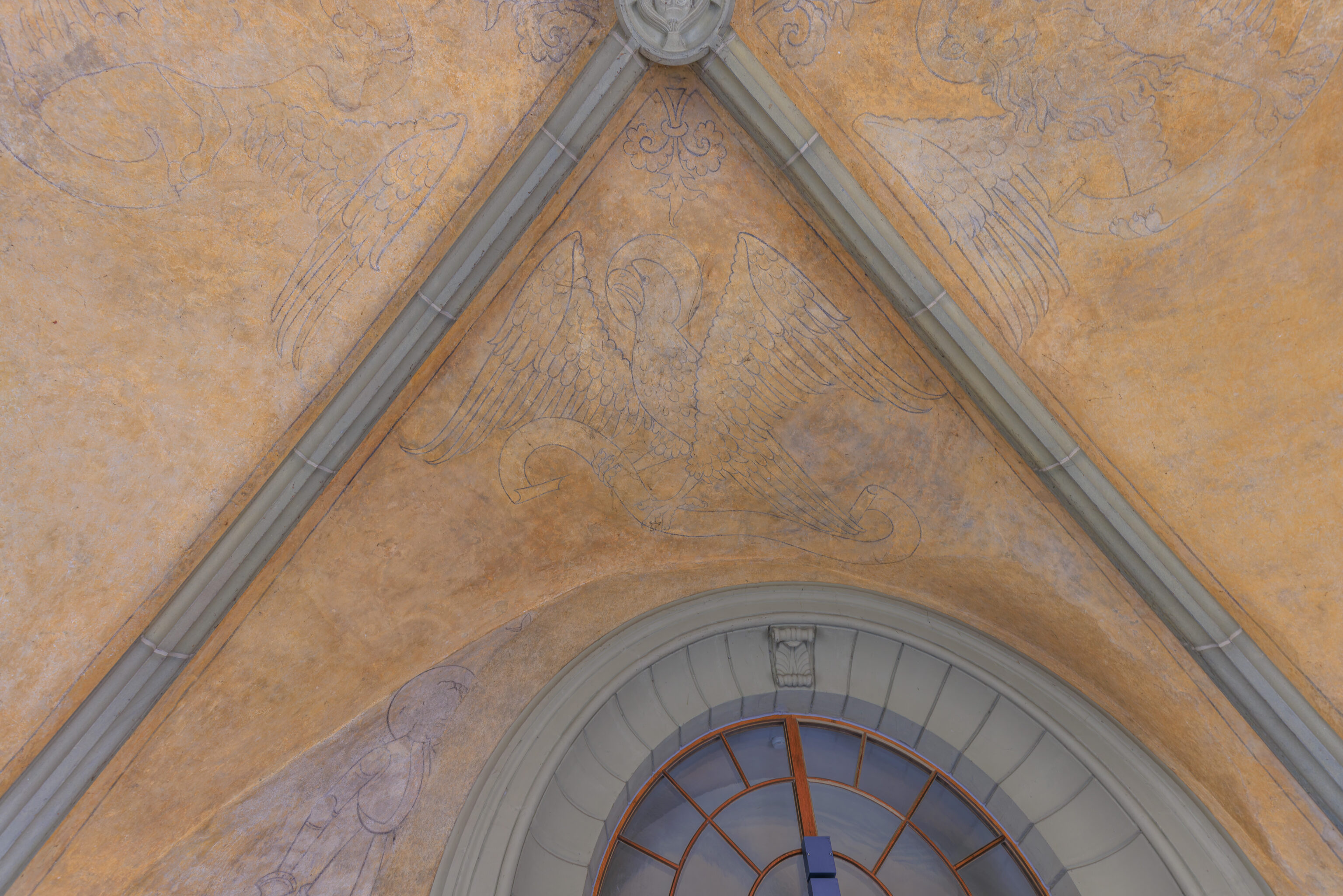
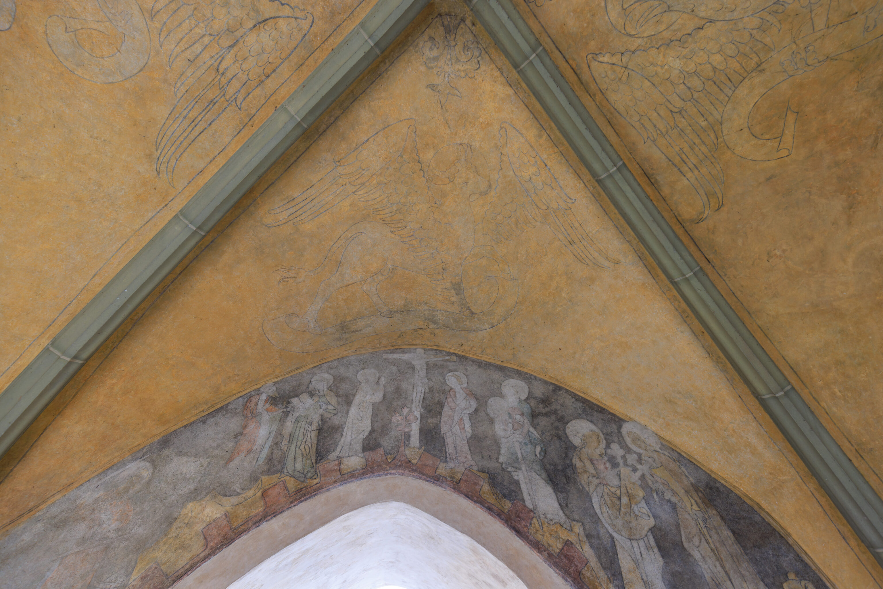
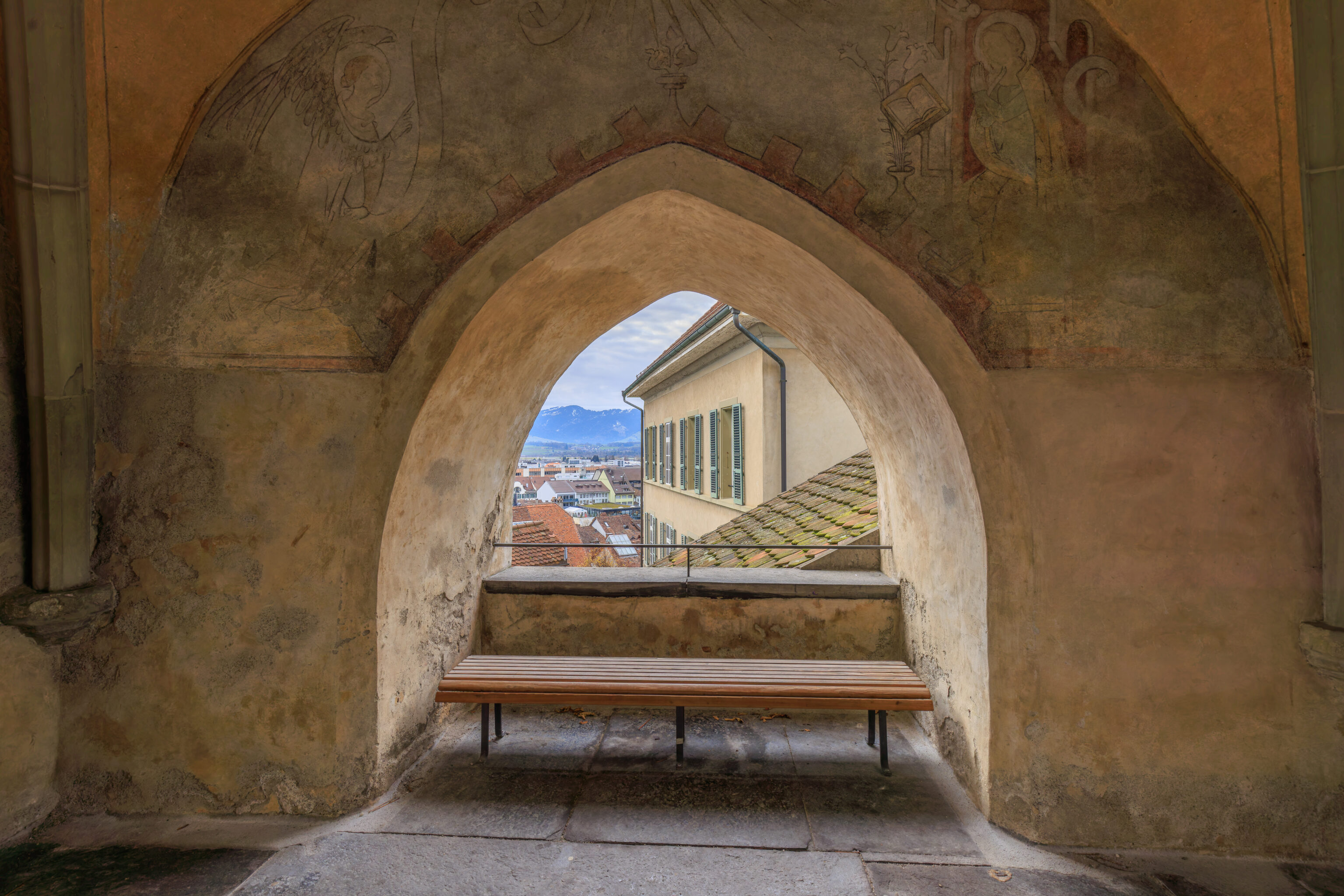
There was some art on the ceiling above us. The door to the church, which we didn’t photograph, looked very closed. We wondered if we should open it and go inside? It sounded like there was organ music inside. Was there a service going on?
We decided to walk through to the other side of the tower first. This view is roughly the same as the view from the window under the tower, just off to the side by a few feet.
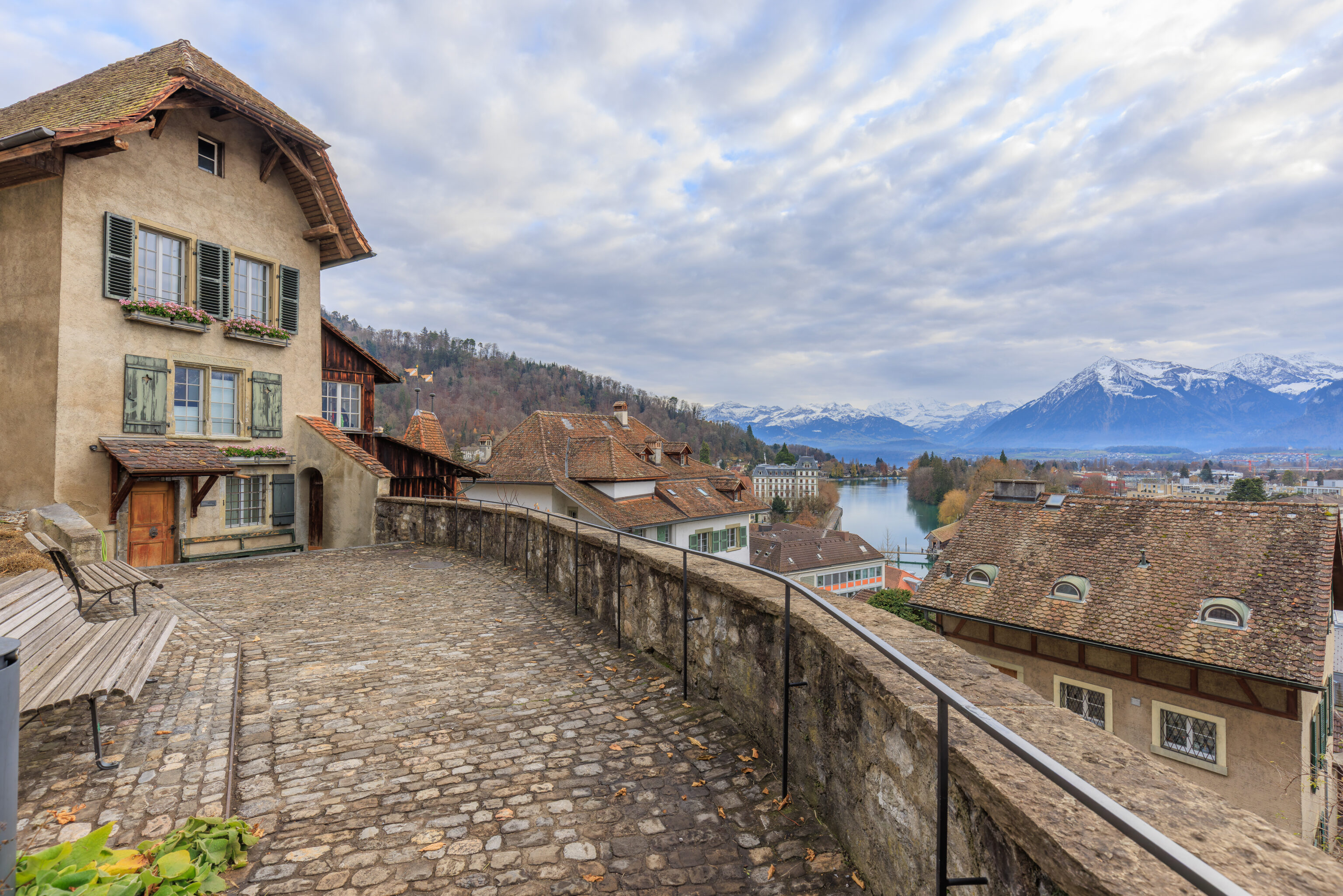
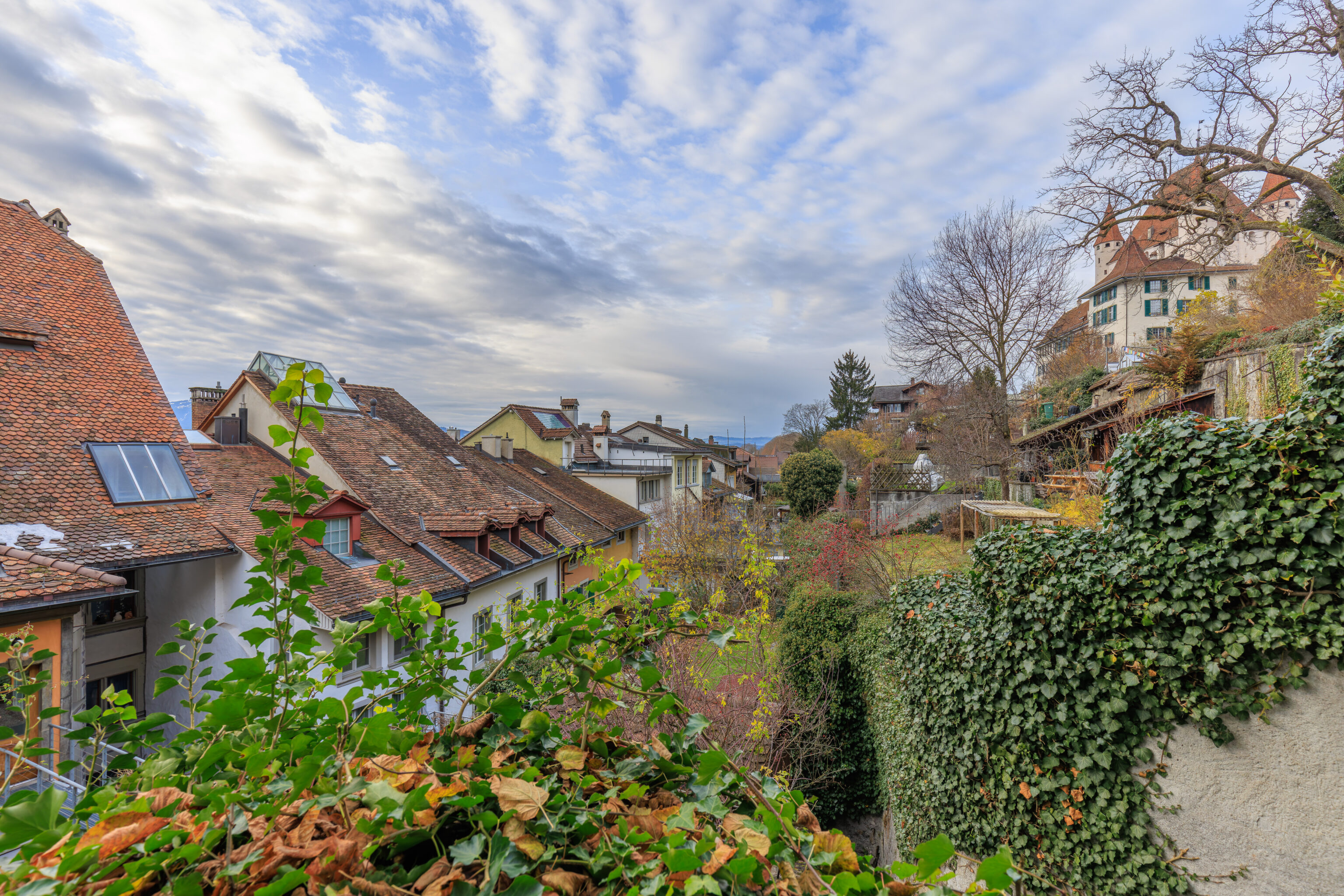
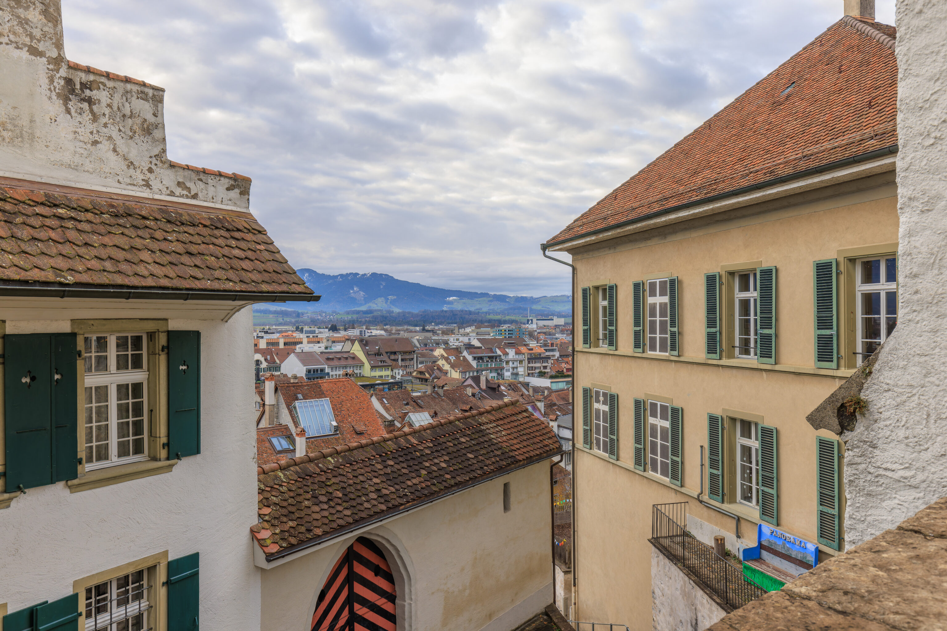
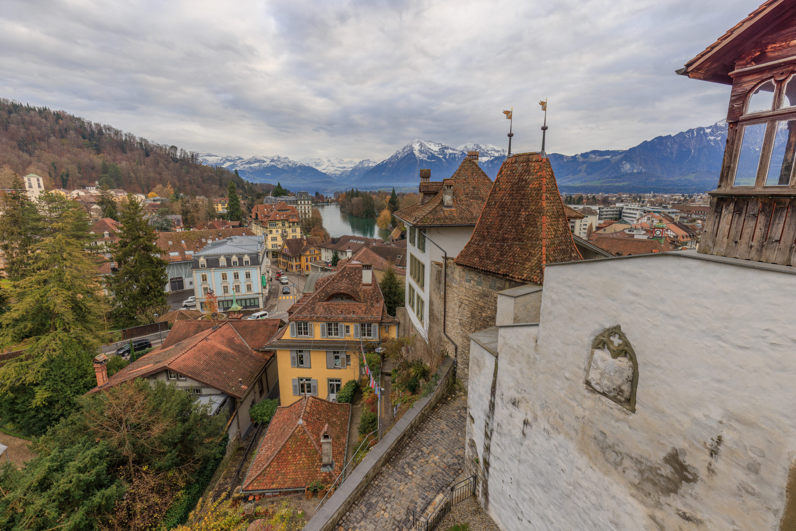
There is a very nice overlook just beyond with views of the mountains, the Aare, and the city below.
We created a panorama of the view.
Back to the church? We went back to the tower to go in.
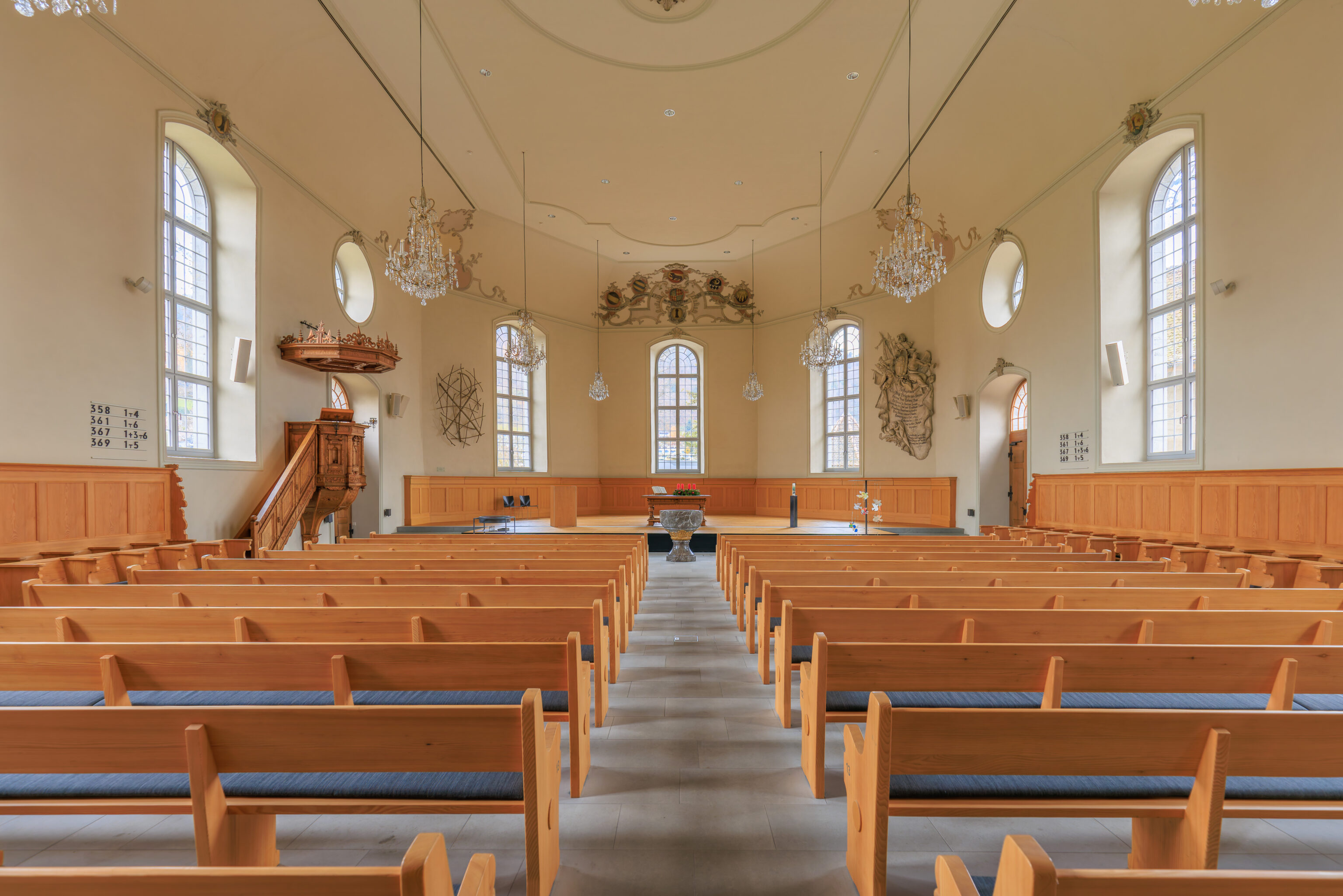
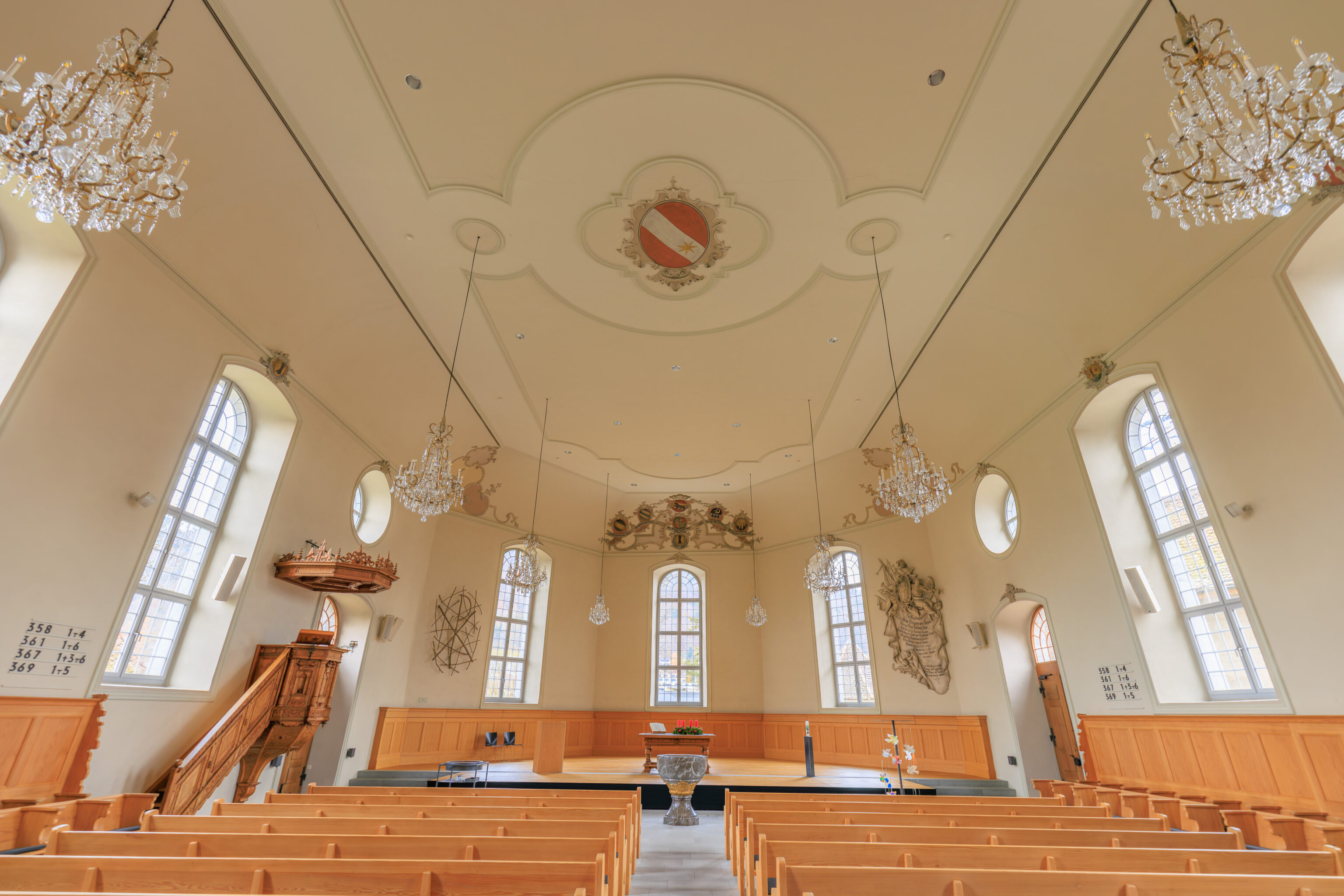

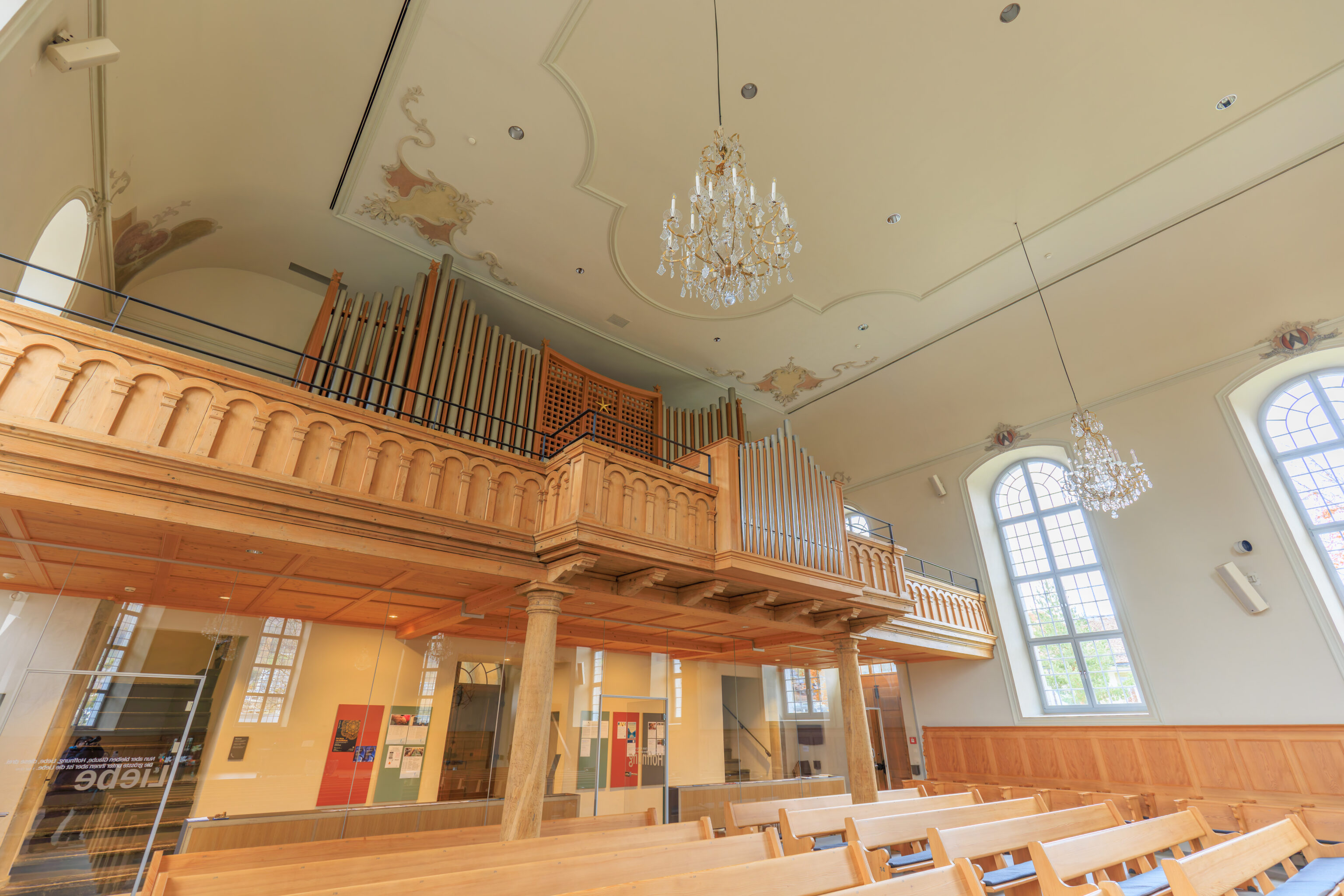
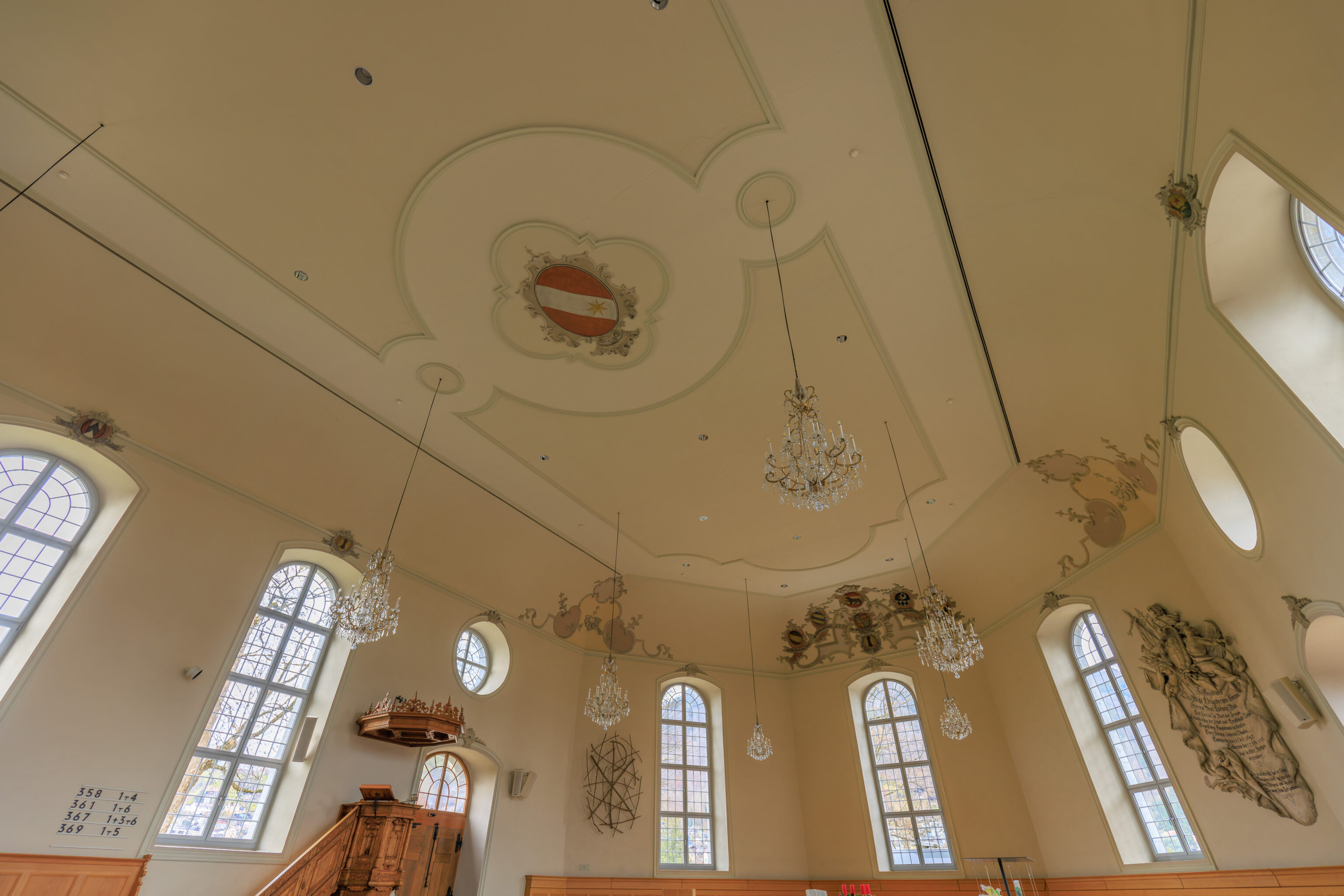
Other than the music, it was empty inside the church. A couple did walk in through the far left door while we were looking around but they are the only people we saw.
So, the question is, was there someone practicing the organ? Or was it a recording? Or does the organ have an automatic play feature?
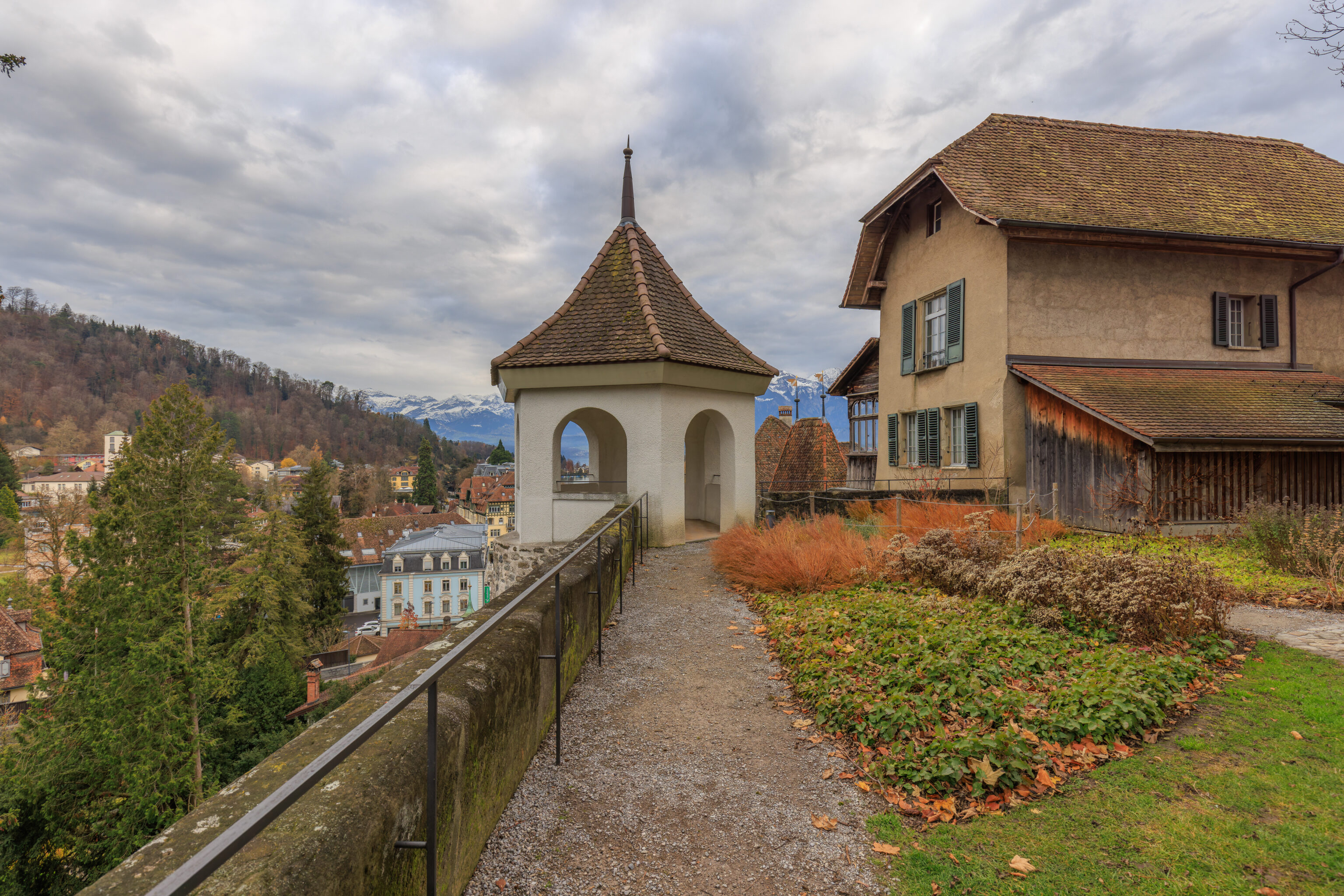
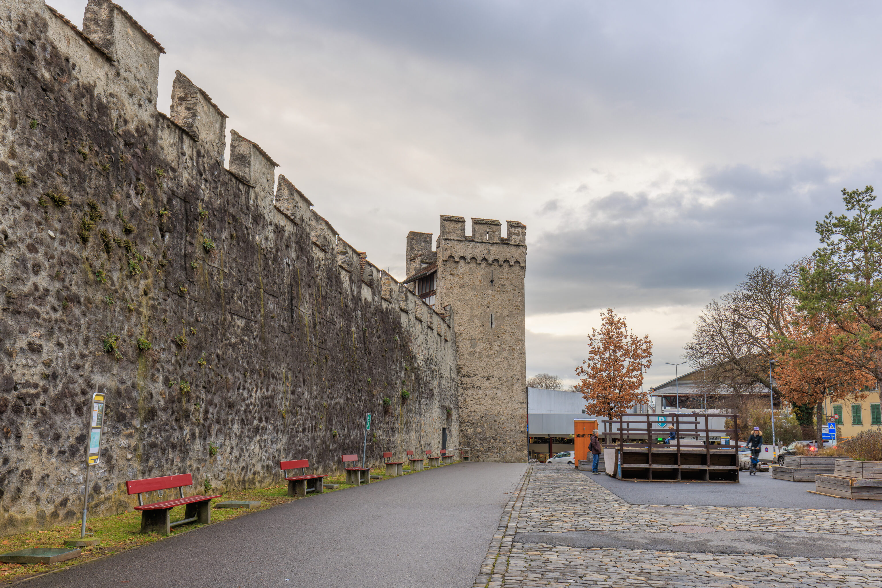
We exited the church and took a look around. There were a pair of these turrets atop the wall along the eastern edge of the hill.
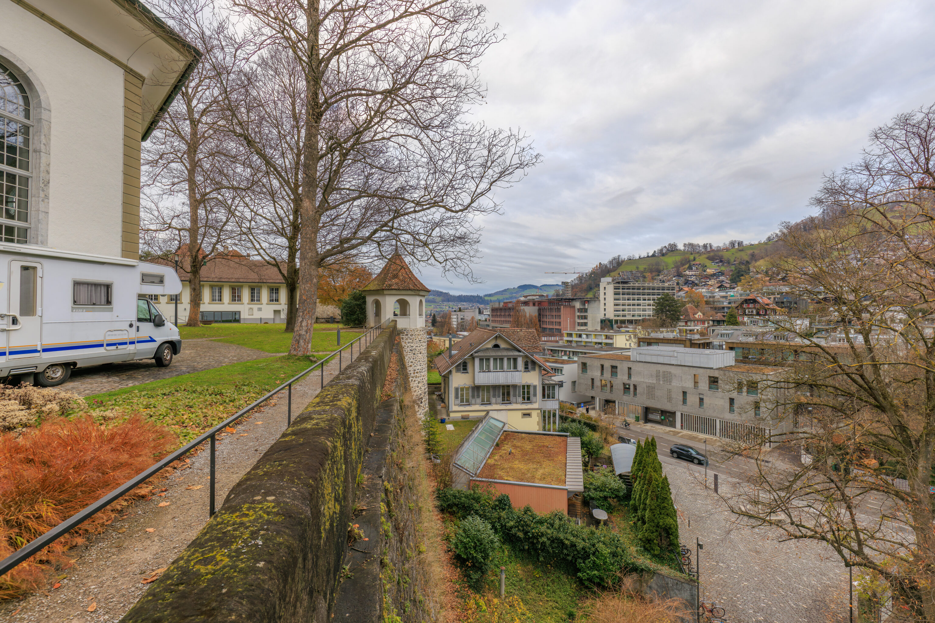
We enjoyed the view from the southern turret. It is almost at the southeastern tip of the hill.
We walked to the north, going through the northern turret on our way.
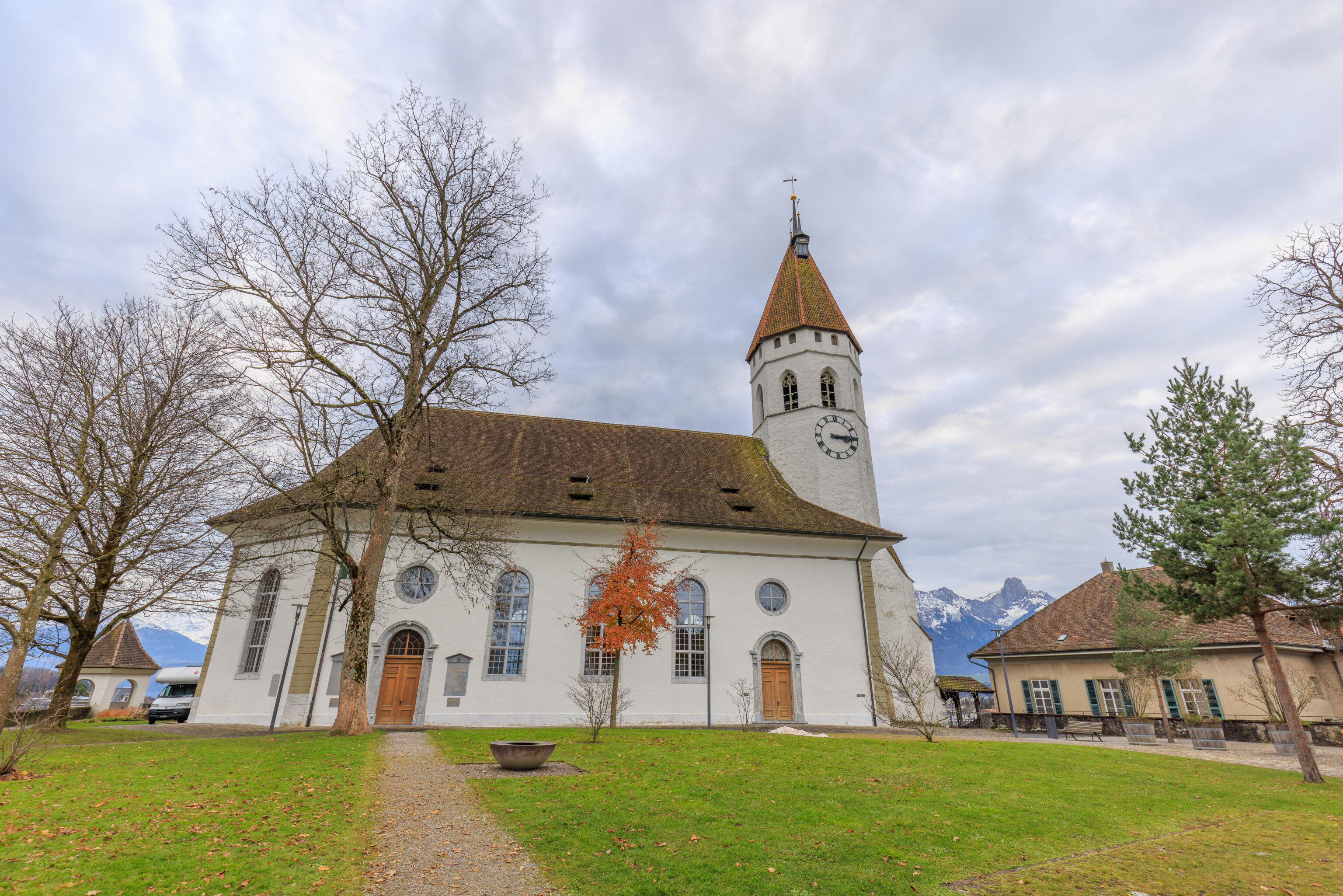
The church as seen from the north.
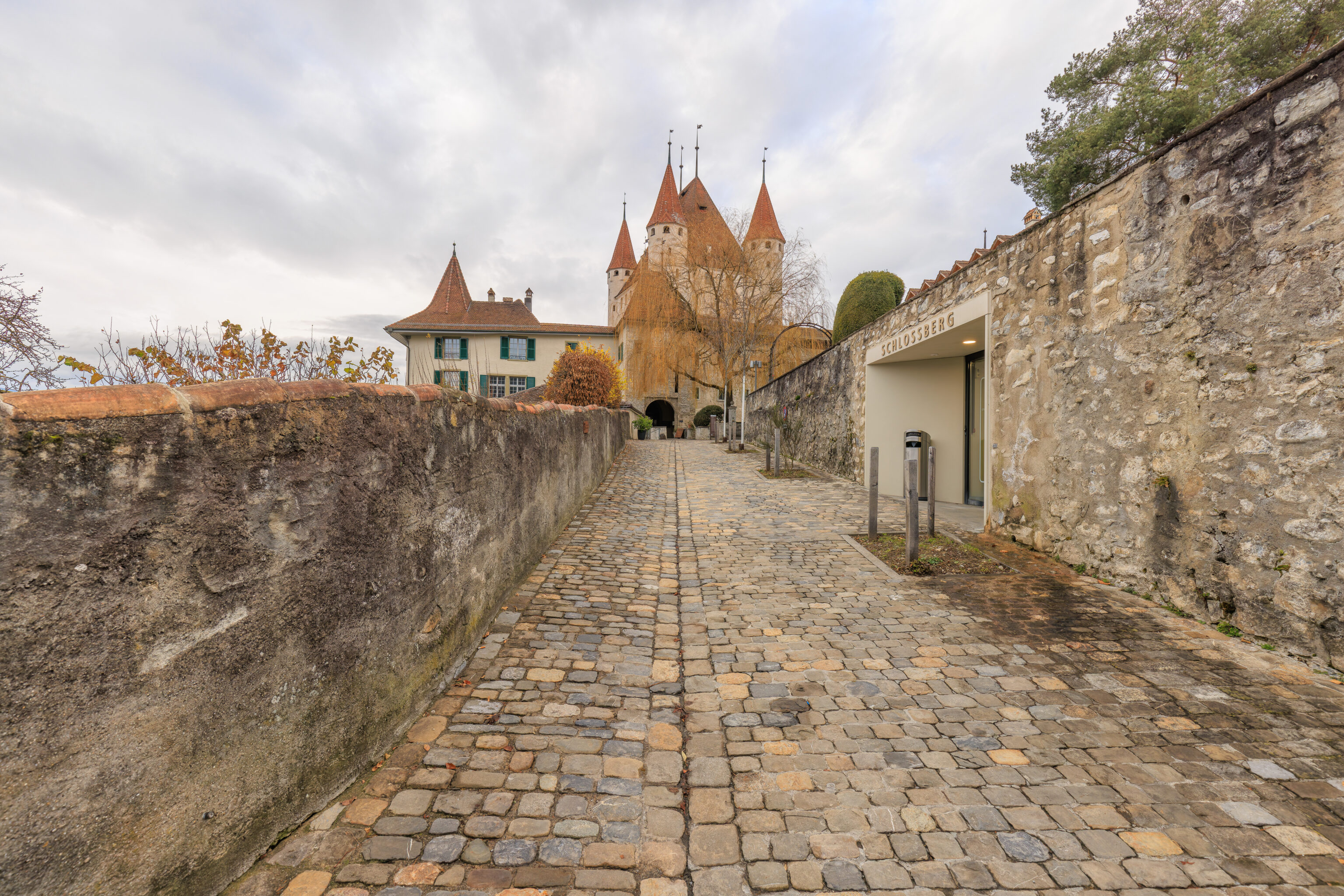
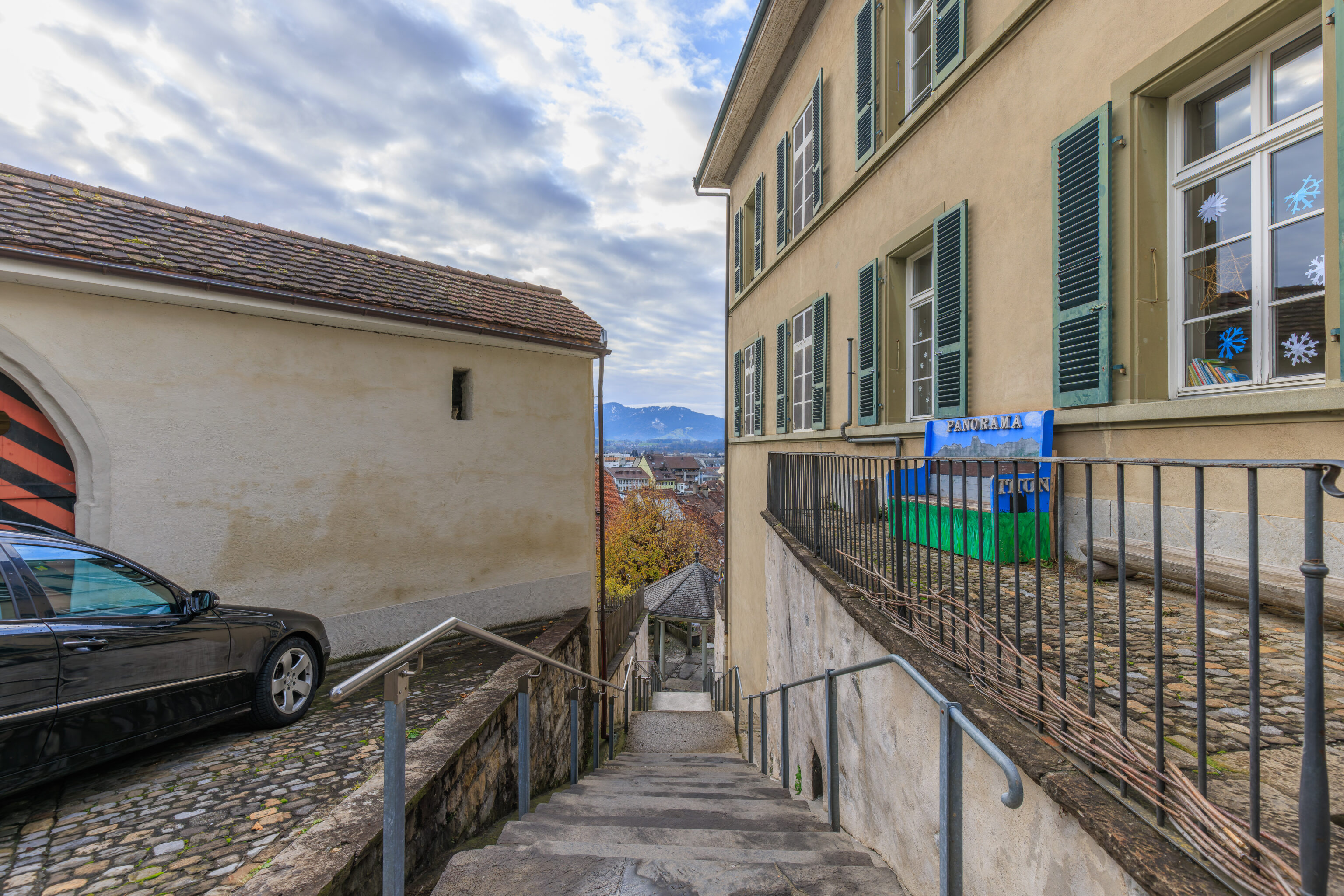
We started to walk to the west, technically, northwest, to finally reach Schloss Thun.
We passed by some stairs leading down to a lower level of the hill that we are currently on.
Looking back, we could see the Stadtkirche behind us.
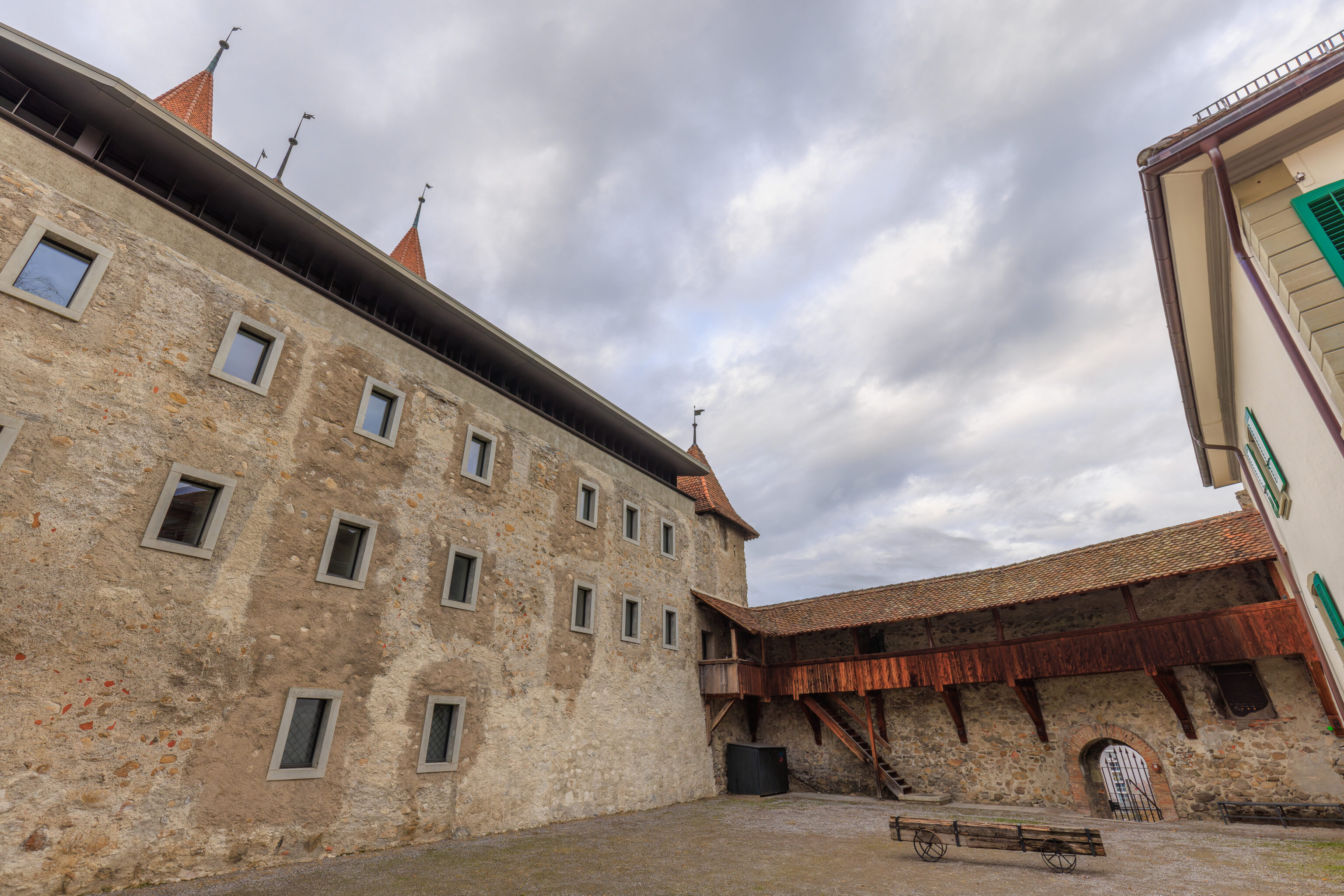
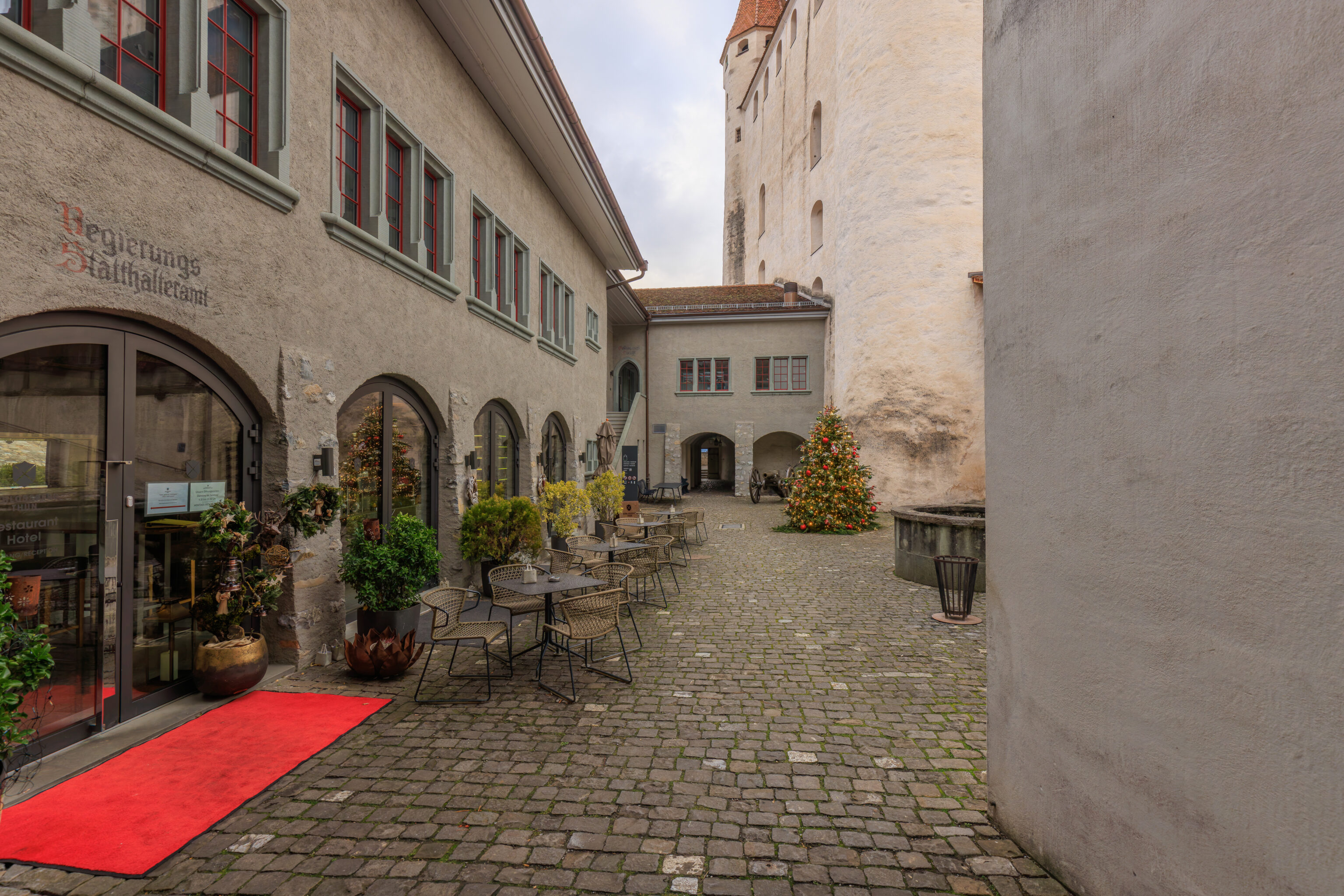
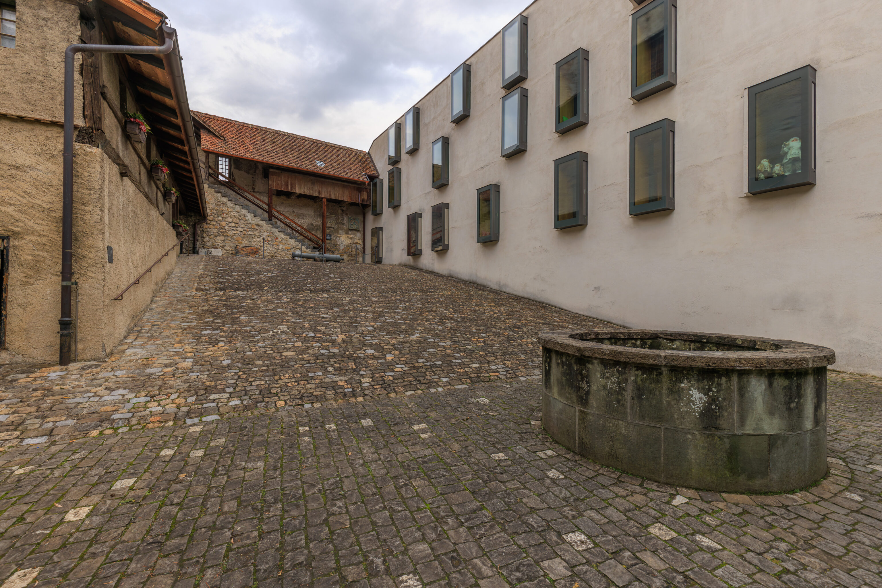
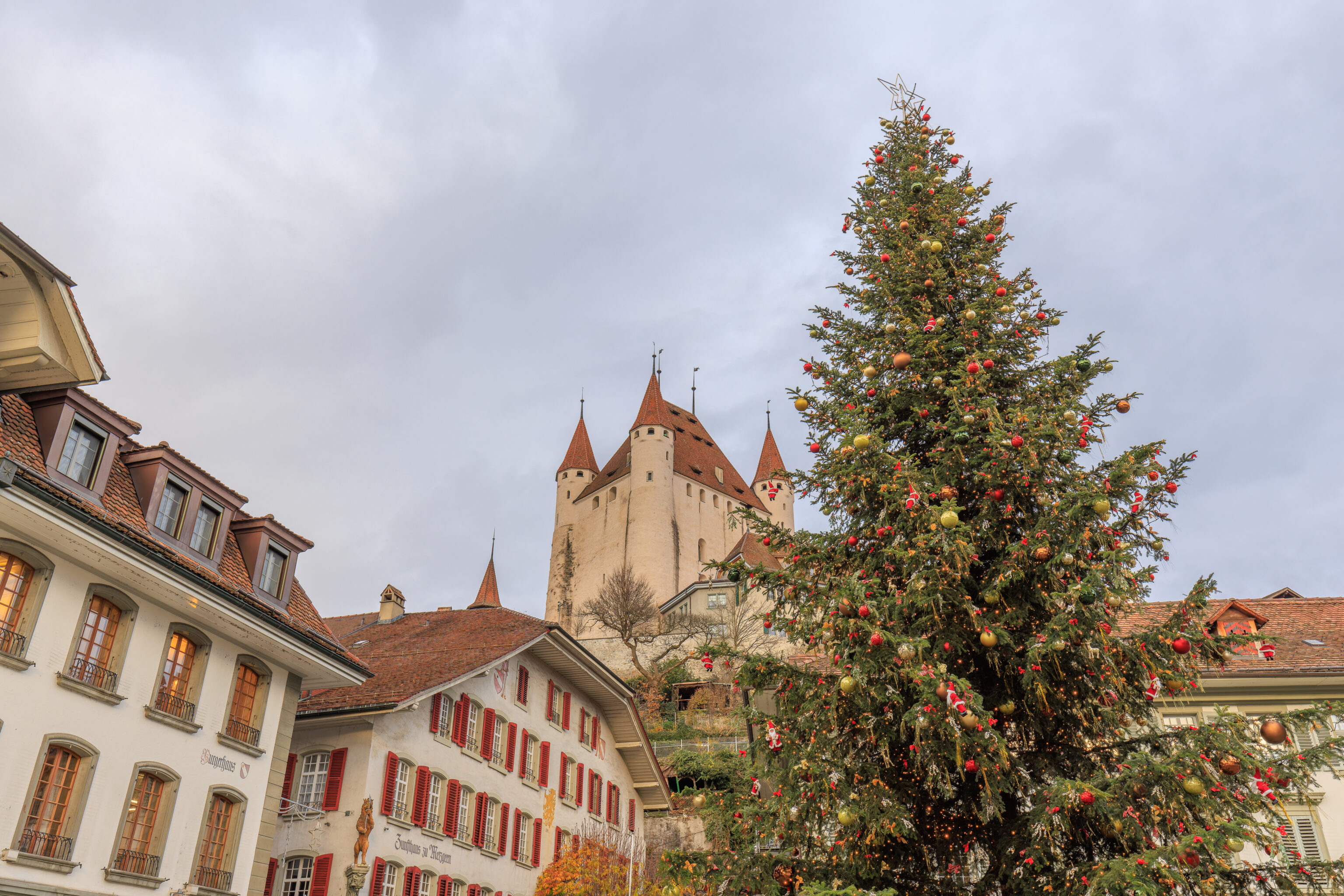
We walked into the inner courtyard next to the castle’s keep. During this time of the year, the castle is only open to visitors from 1pm to 4pm on Sundays. Today is unfortunately a Monday so we could not go inside.
The castle also contains a restaurant and hotel, the Schlossberg Thun. Some of the rooms can be seen from the outside, particularly the ones with the modern windows. None of the hotel rooms are in the castle’s keep.
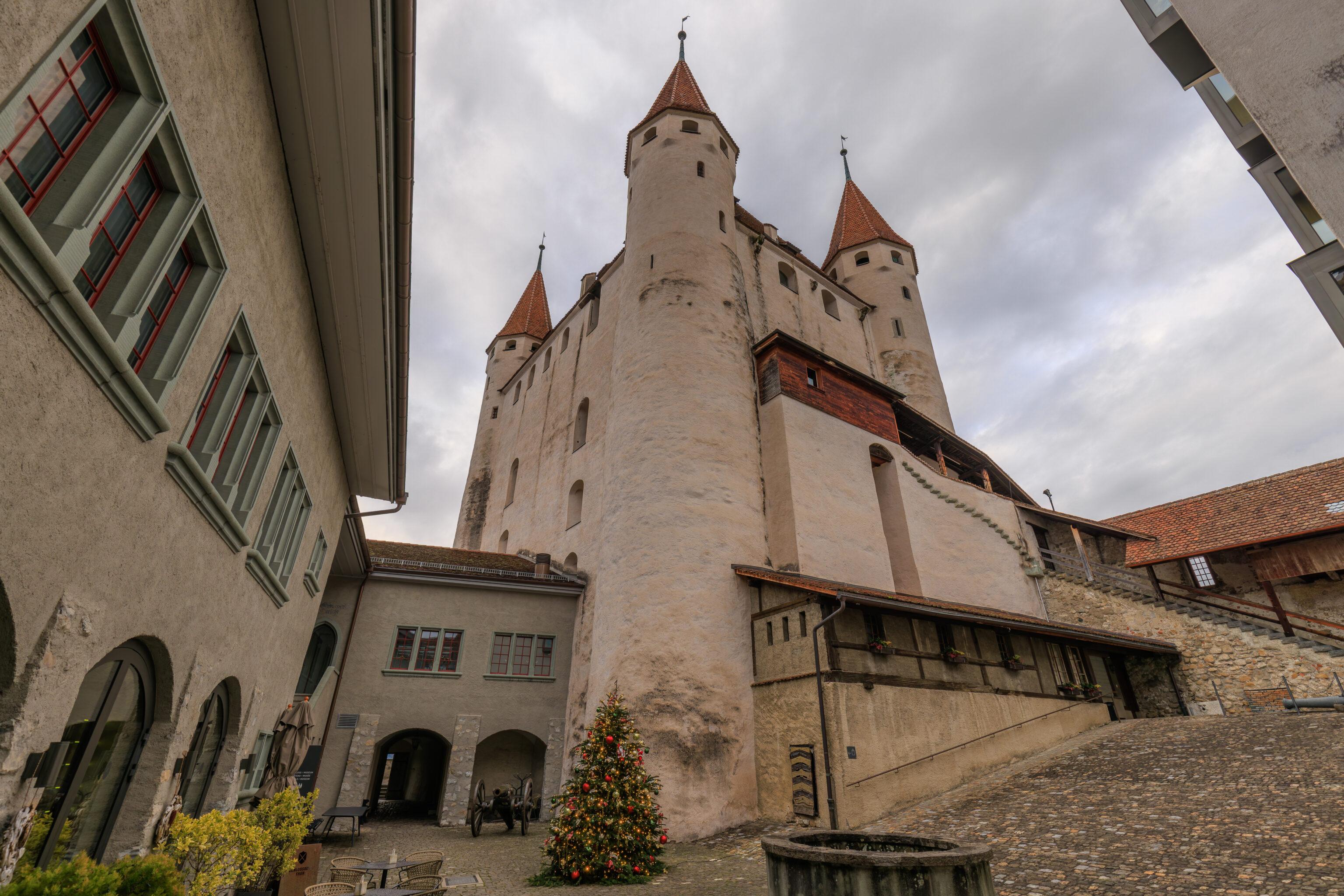
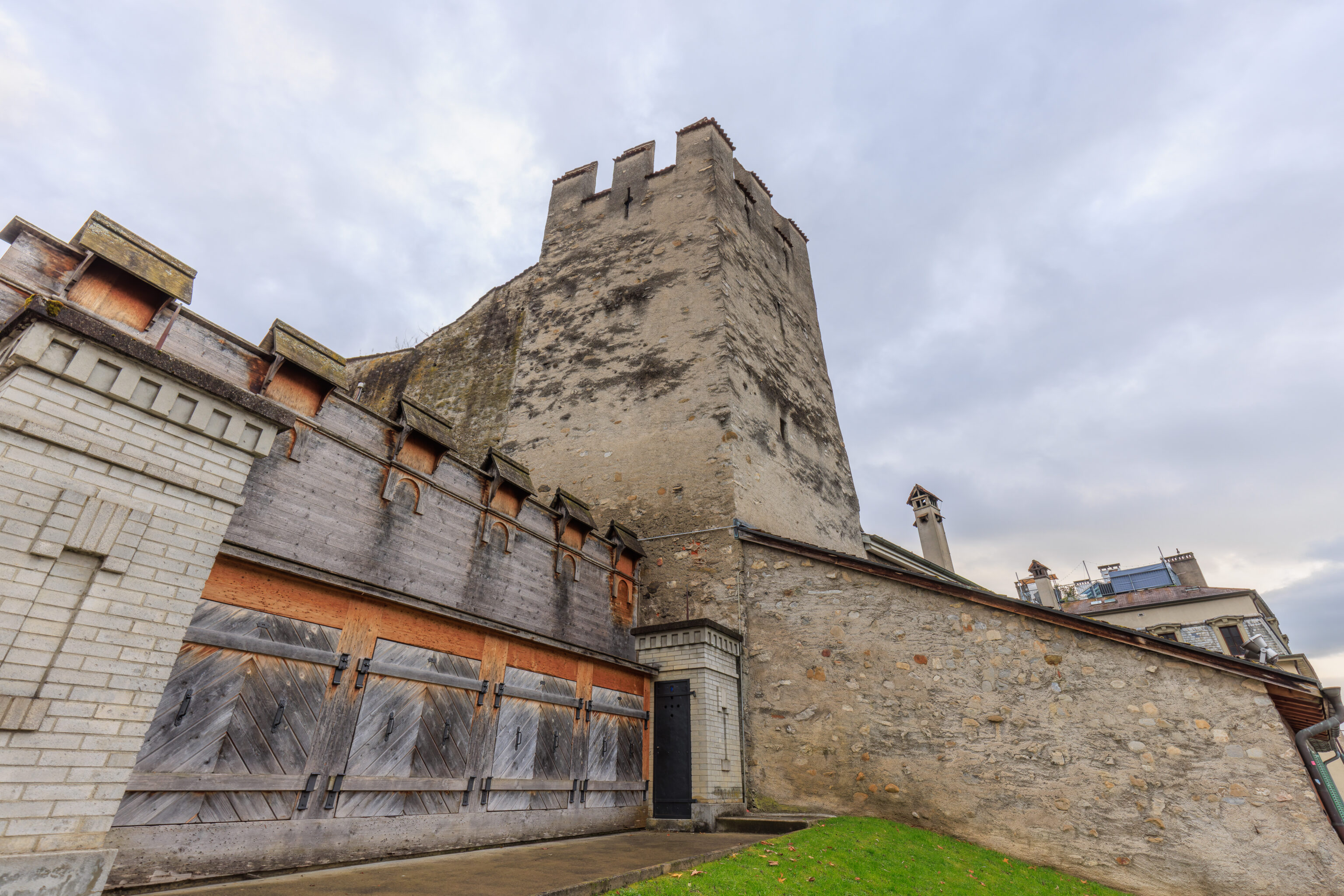
We looked up to see the castle’s keep, located in the northwest corner of the courtyard.
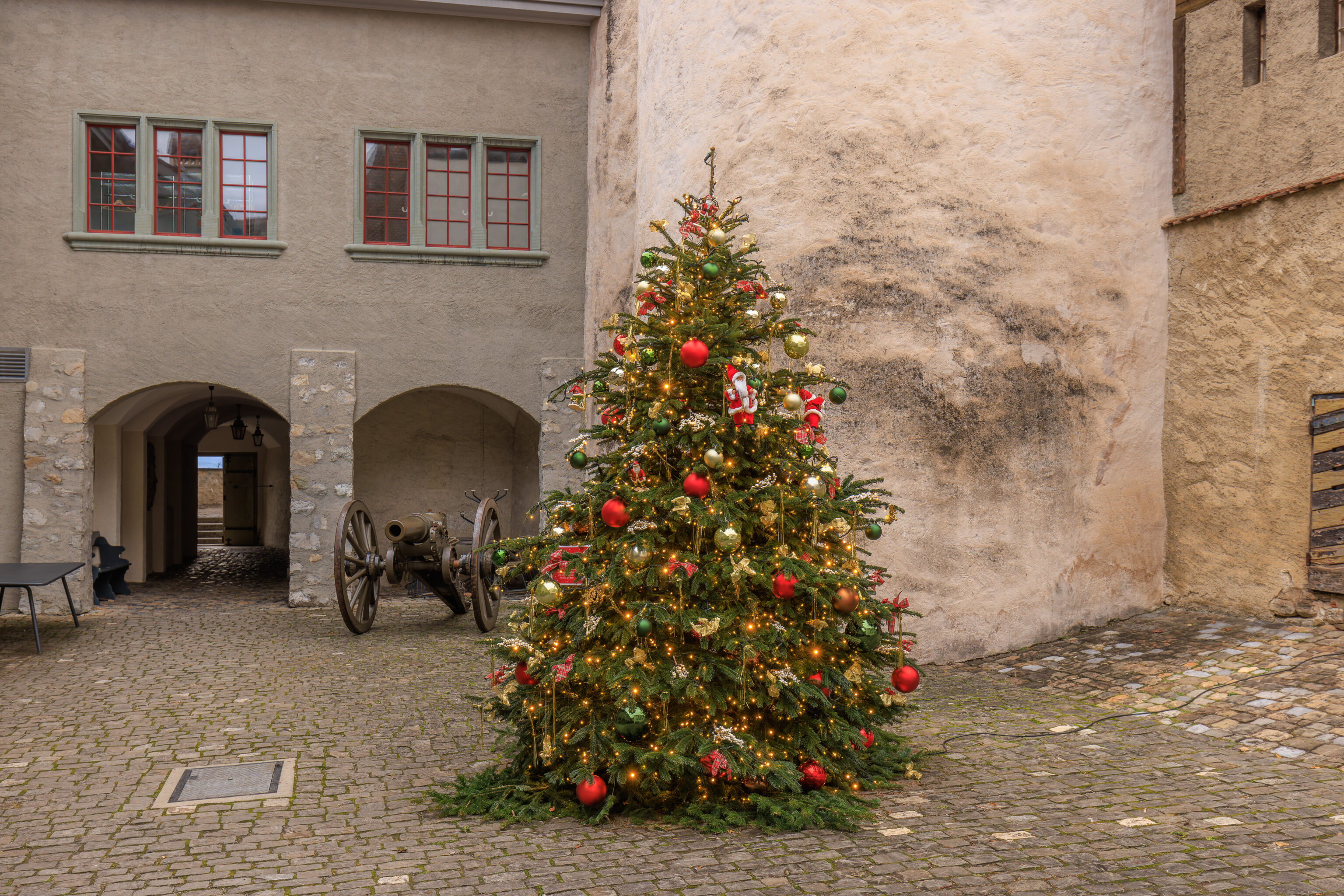
There was a Christmas tree at the base of the keep.
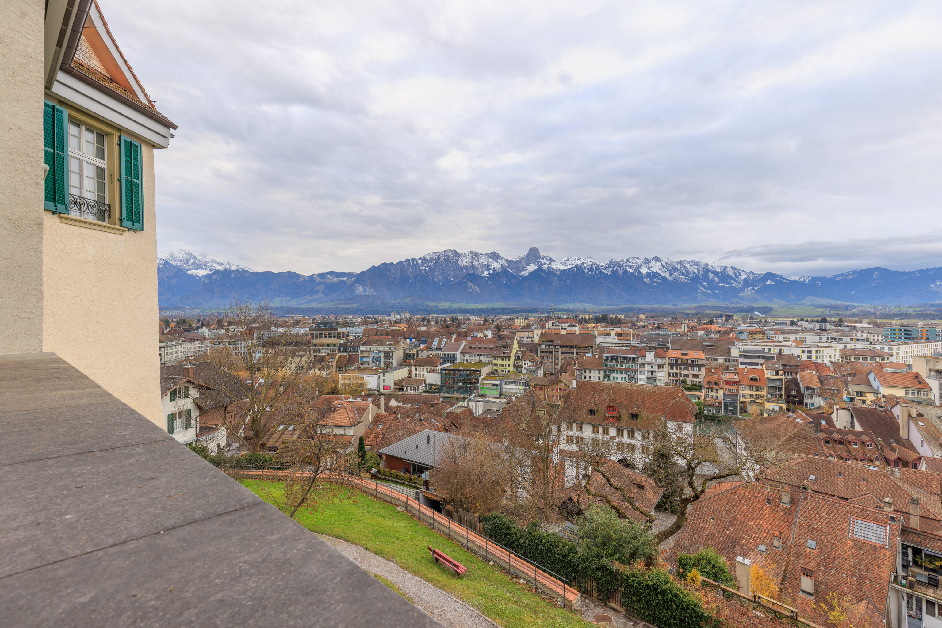
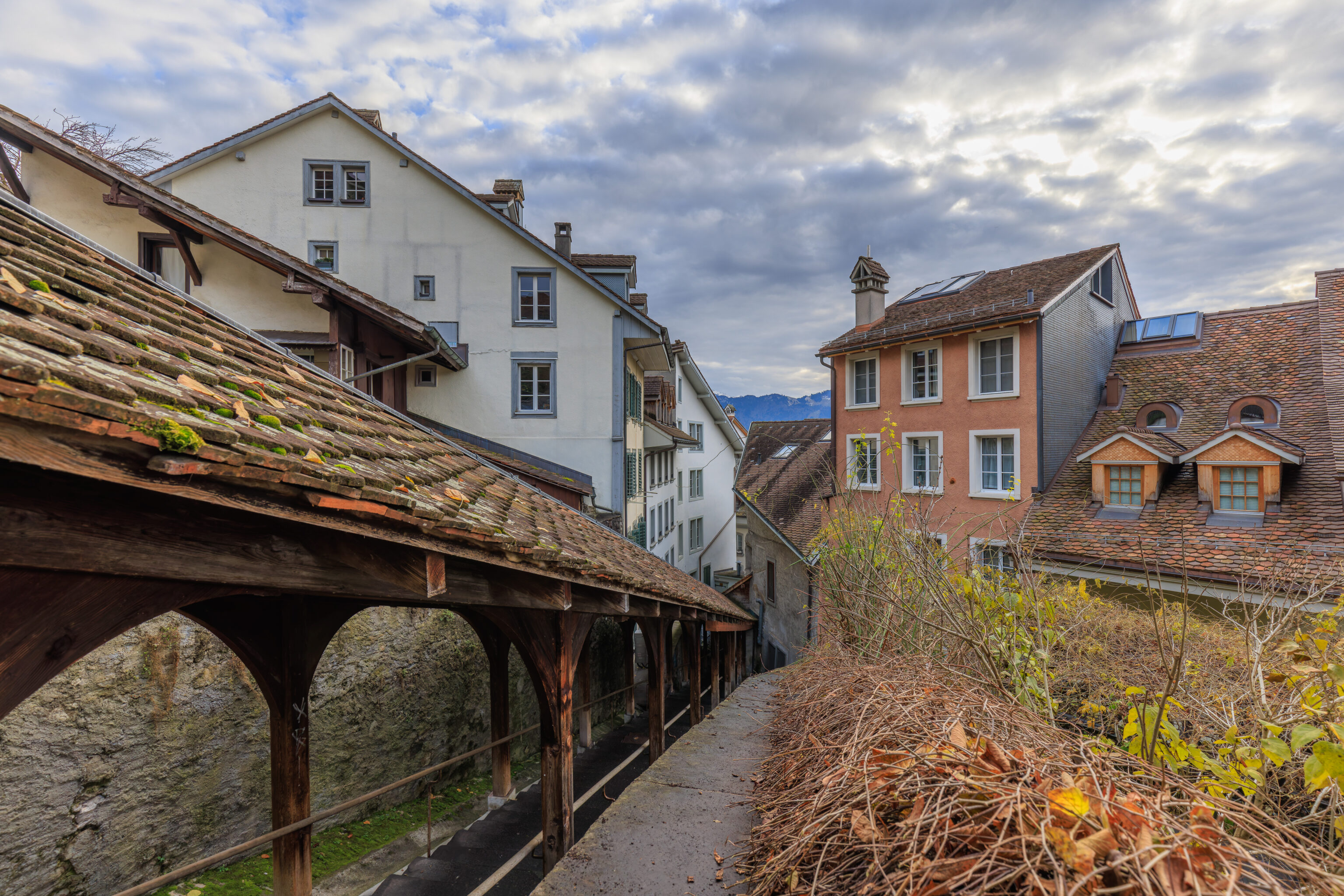
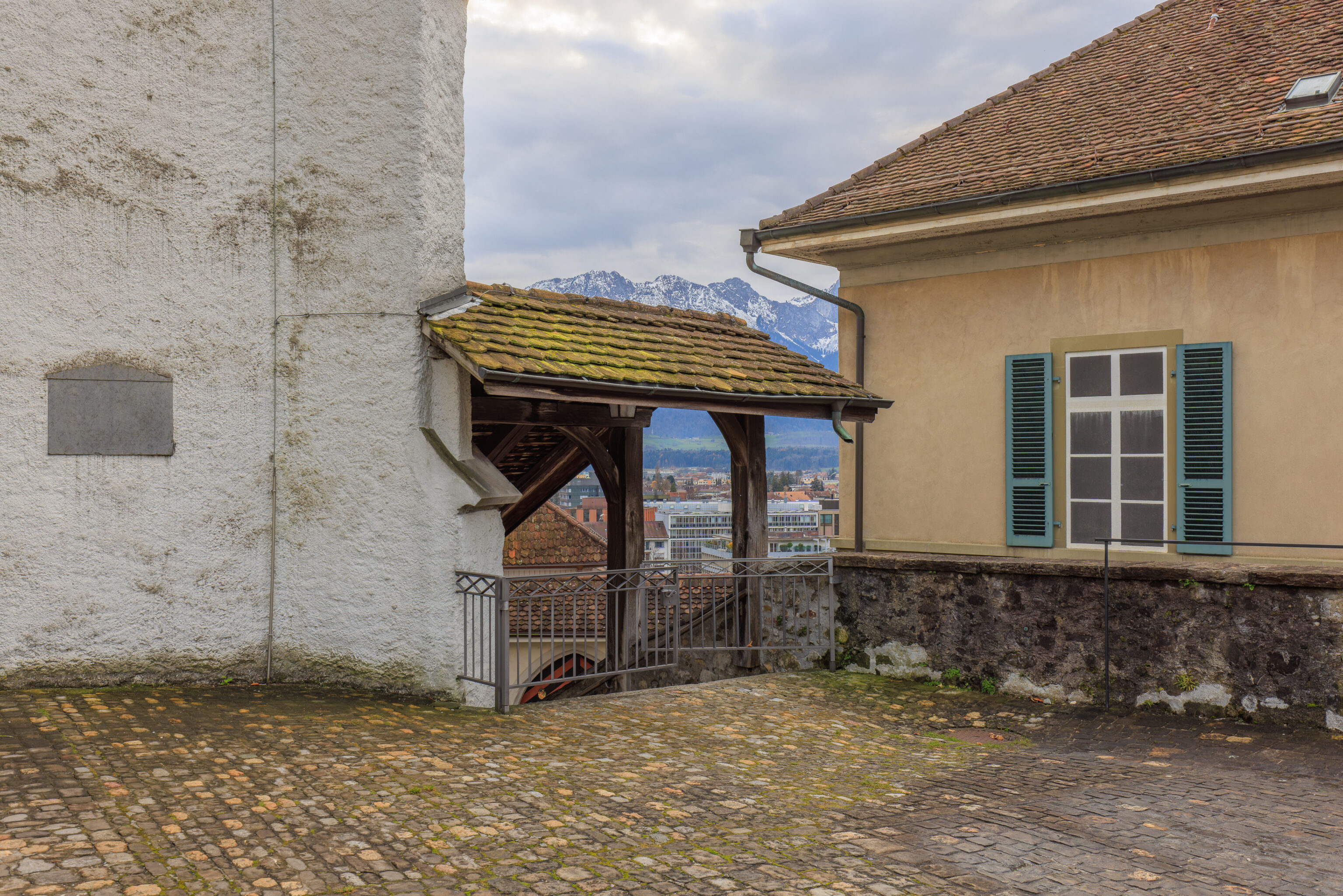
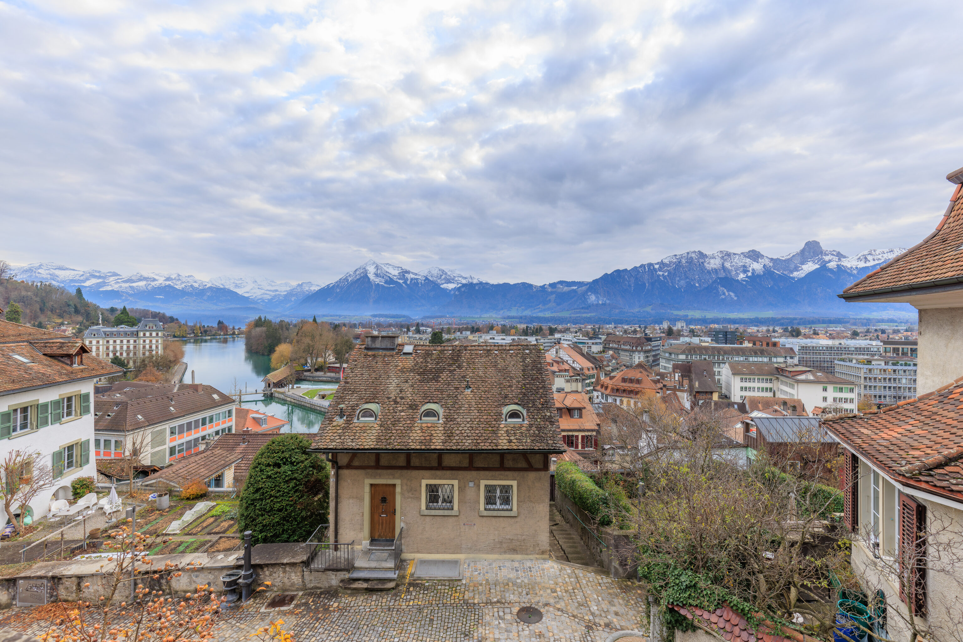
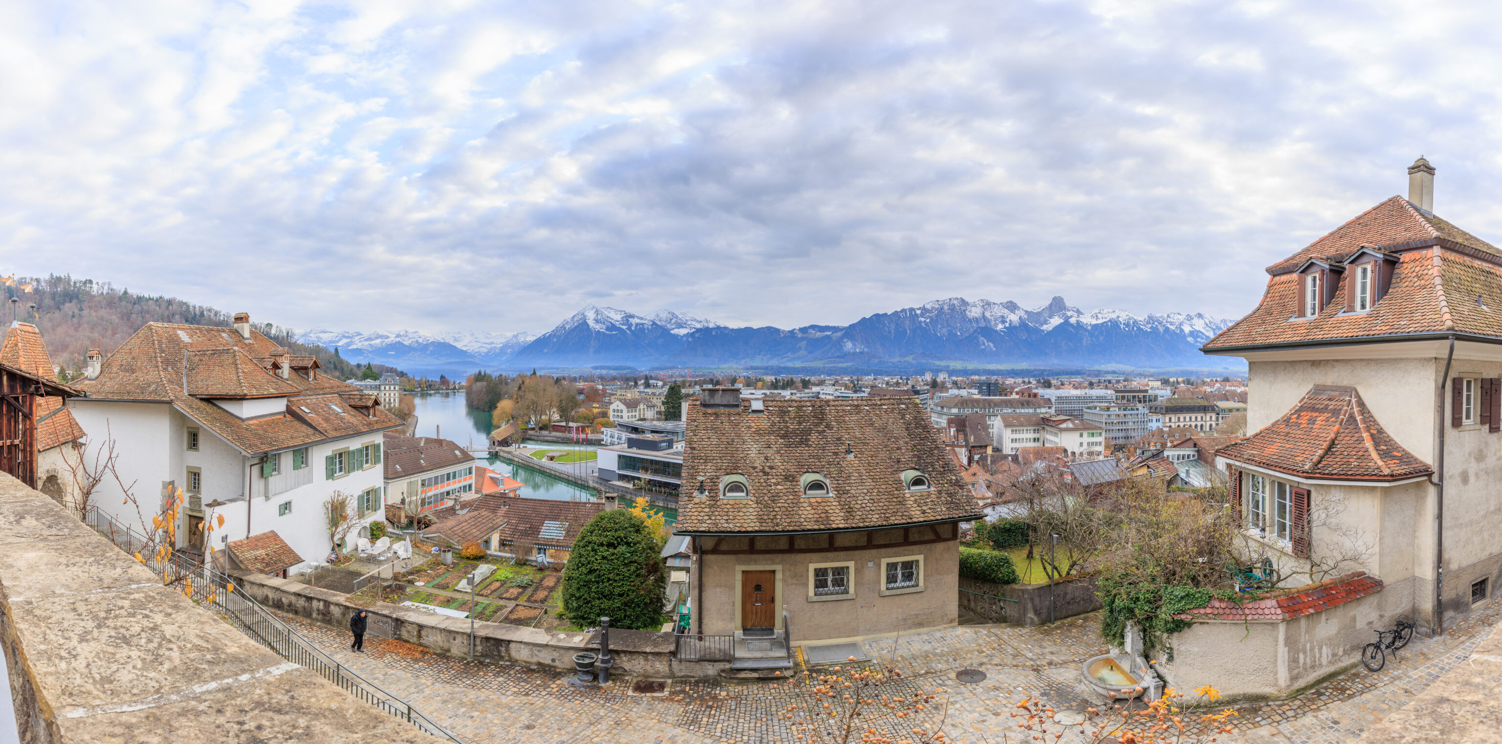
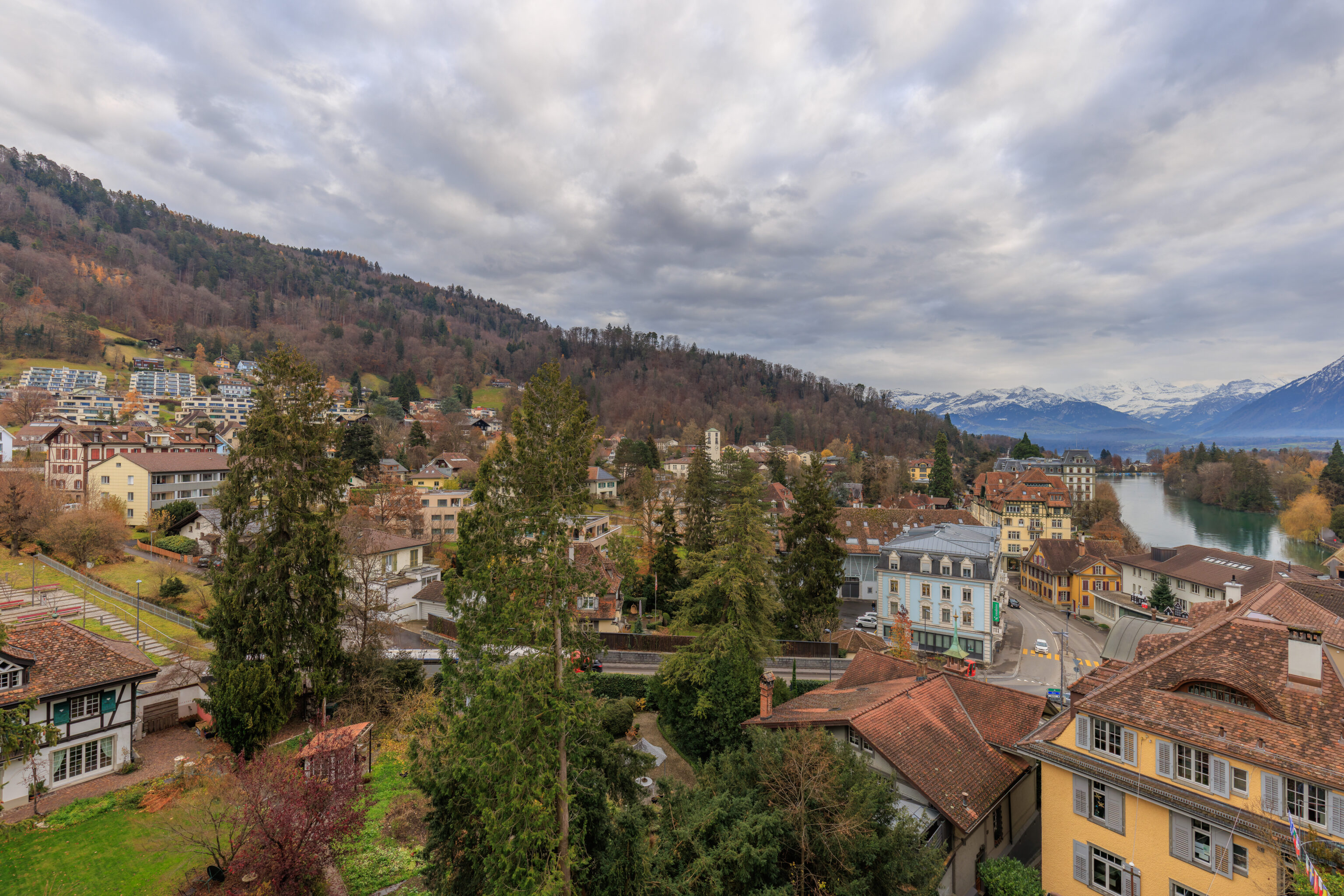
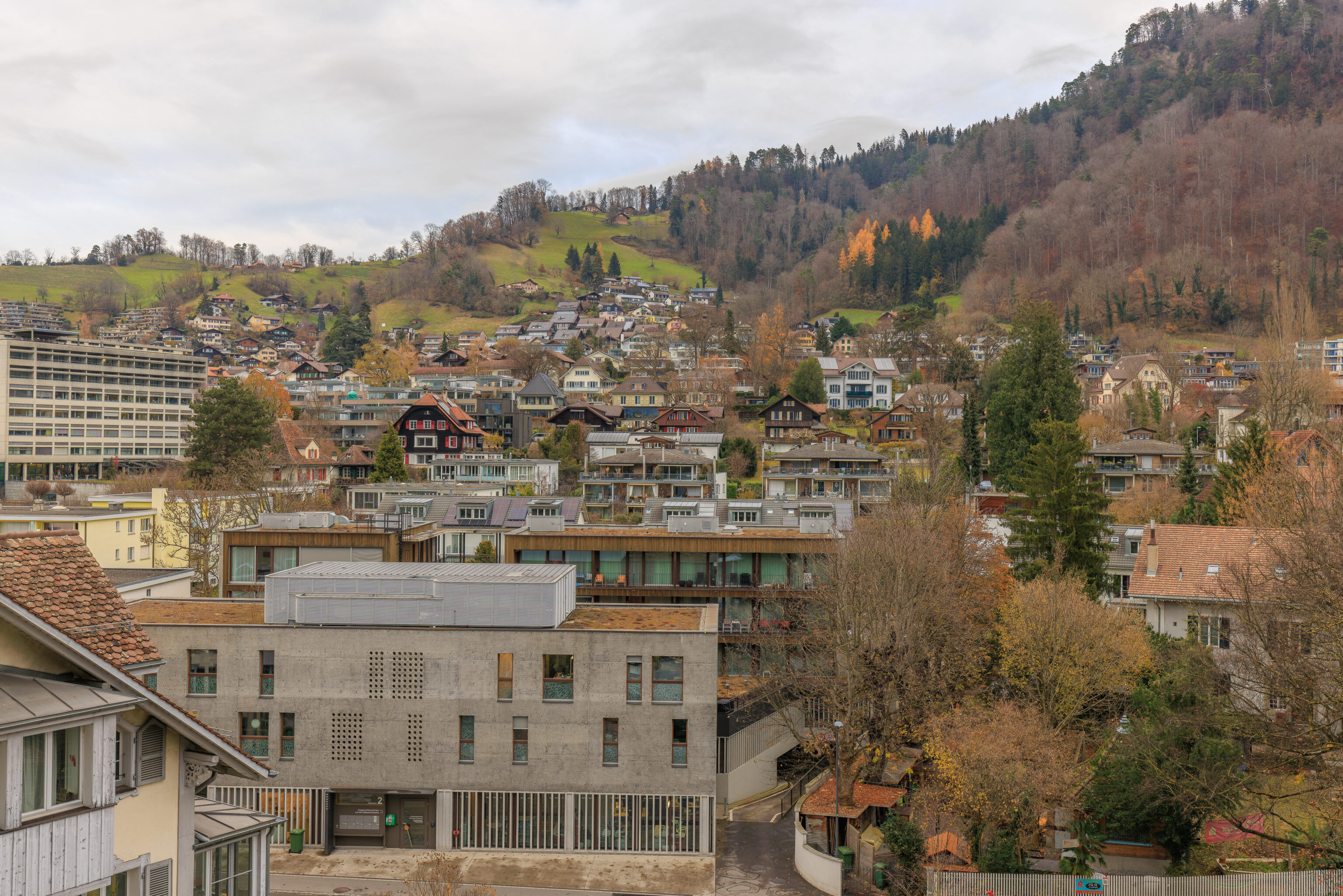
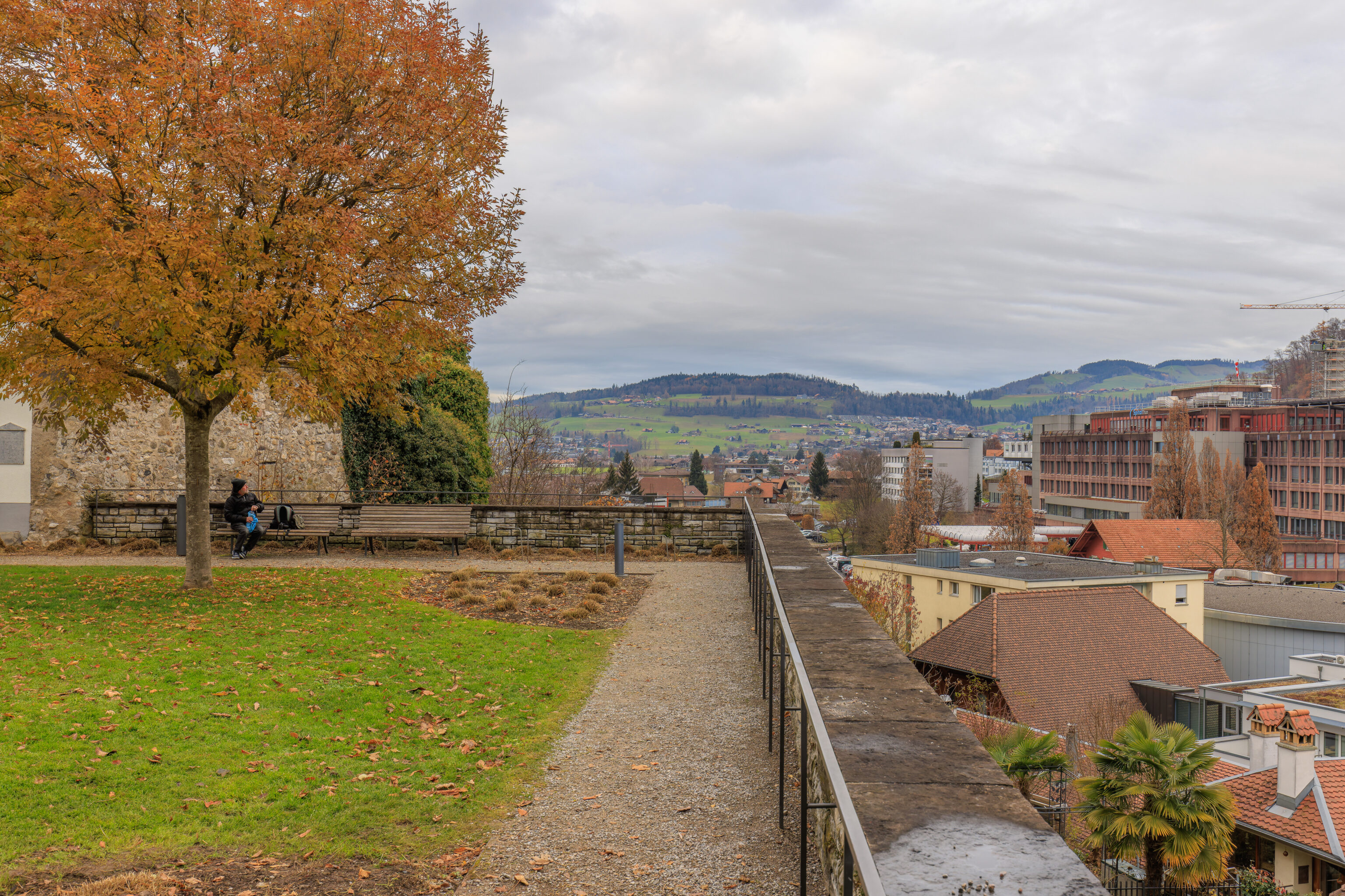
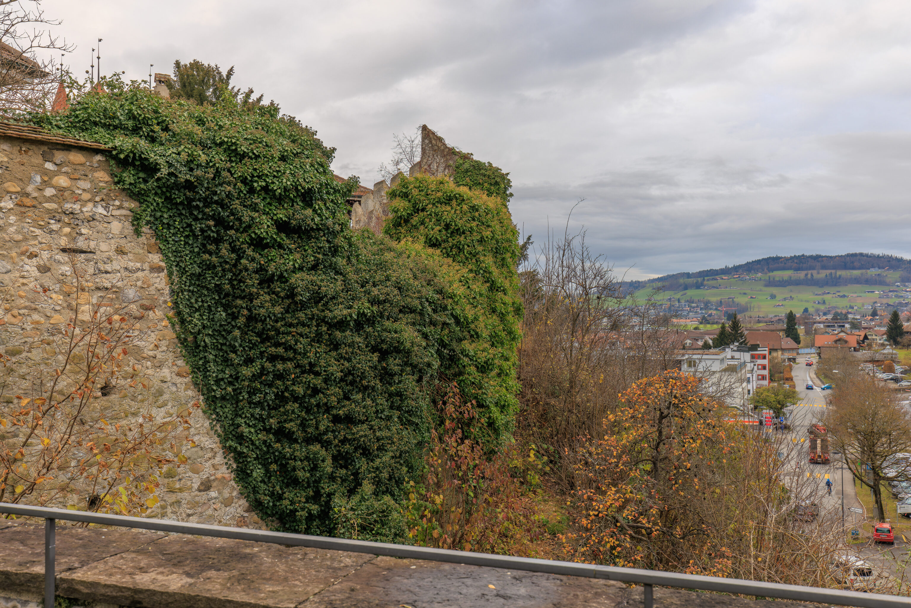
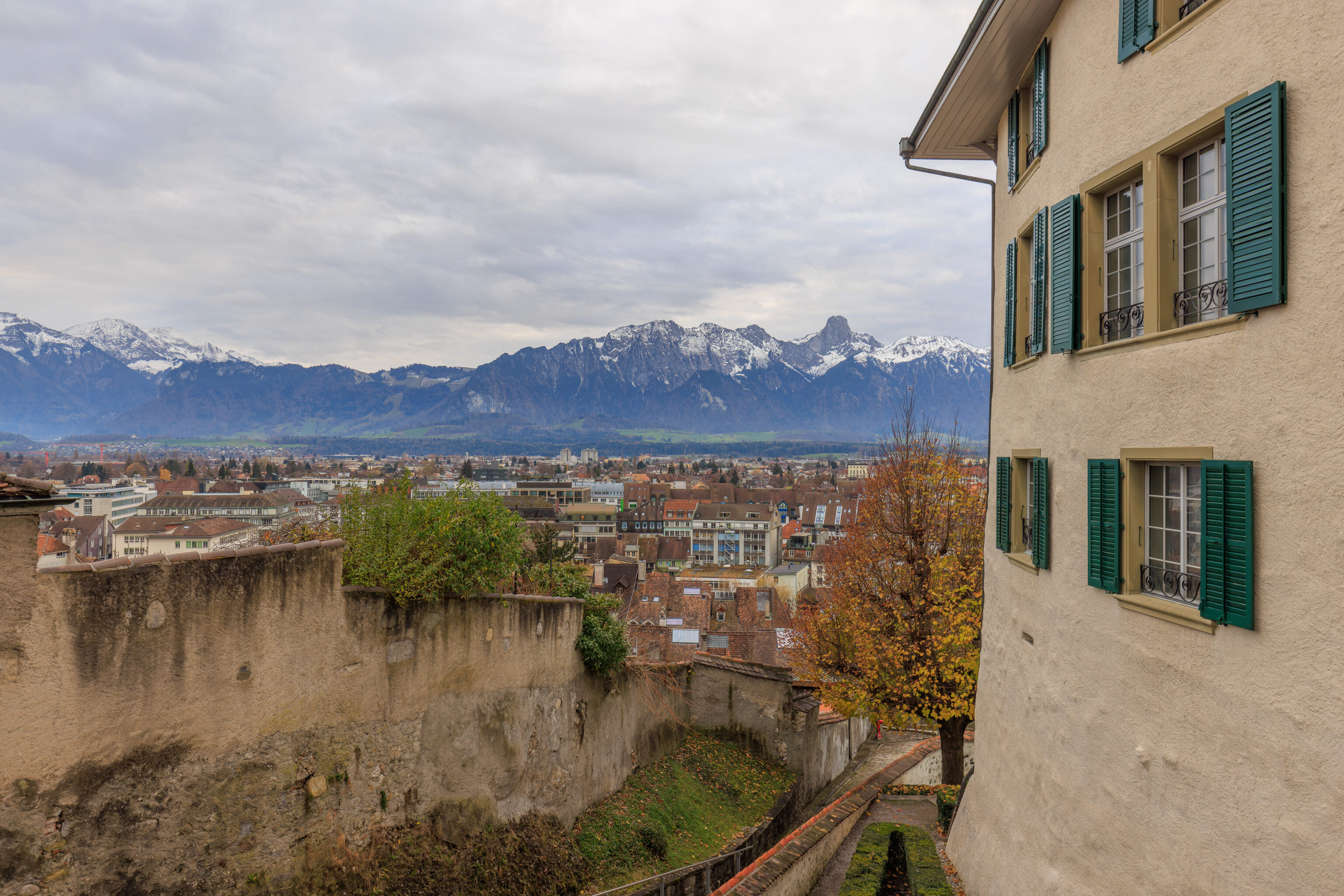
We walked past the southern side of the keep to reach a small open area which provided some excellent views of the city below and the mountains beyond.
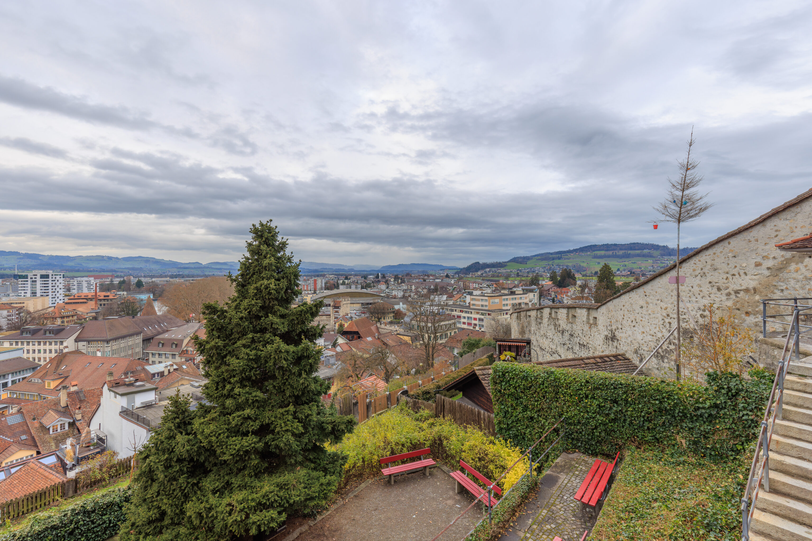
The hill ends here with a wall that seems to run along the ridgeline down into the city below.
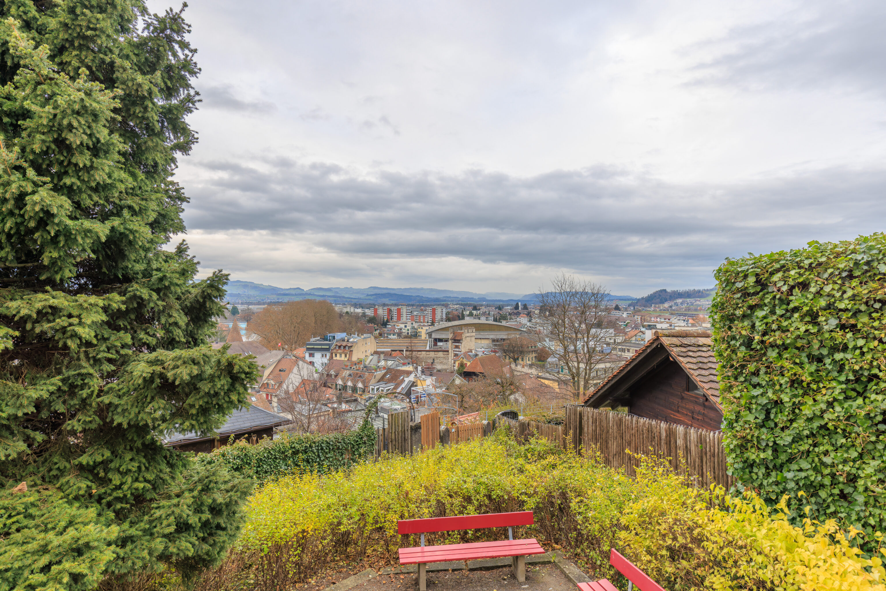
We headed down as it seems we should be able to walk next to the wall to return to the city.
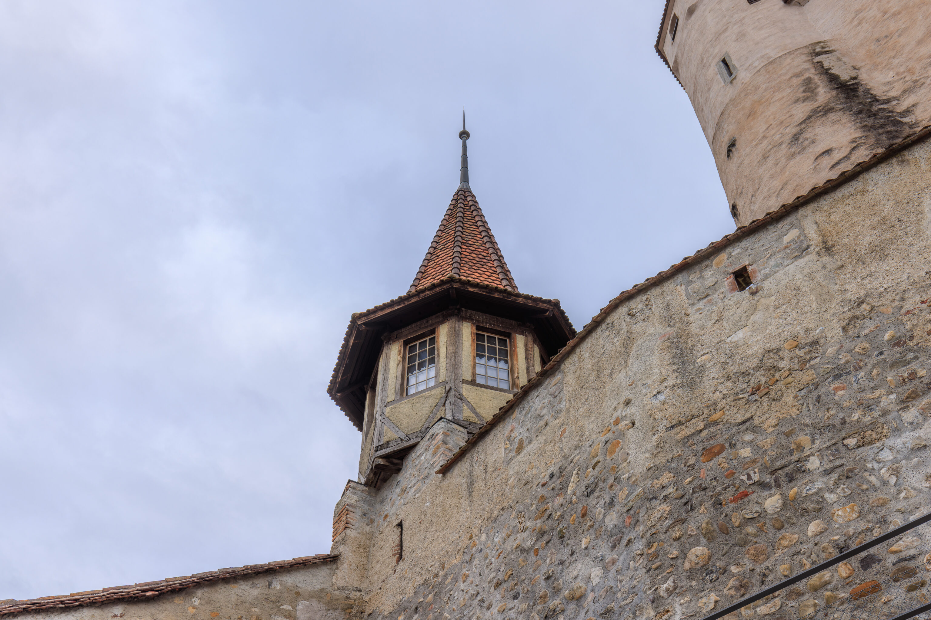
Looking up, we could see a small turret next to the larger keep.
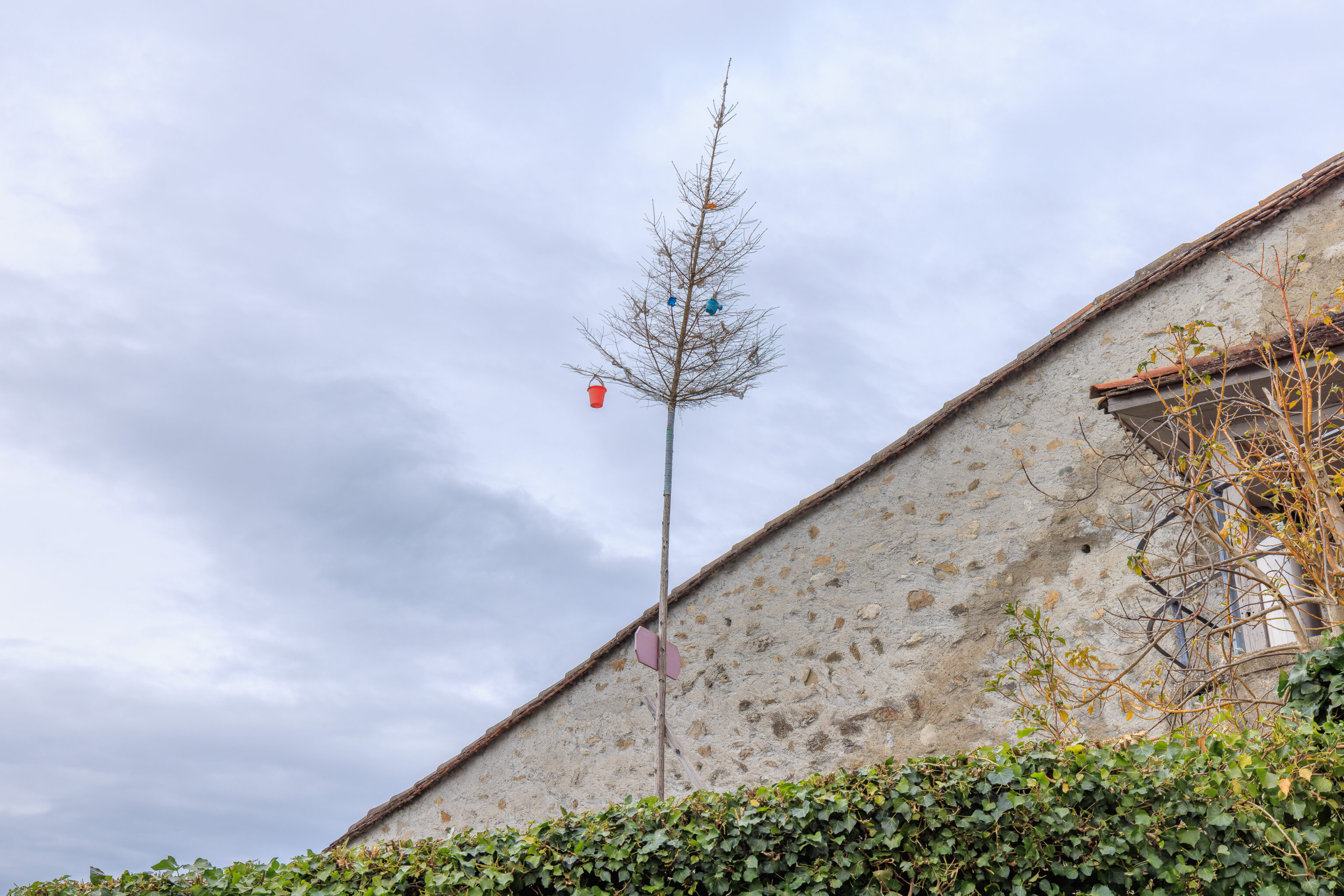
We’re not sure what’s up with this tree. It has a few decorations and a sign, which we can’t read from this perspective.
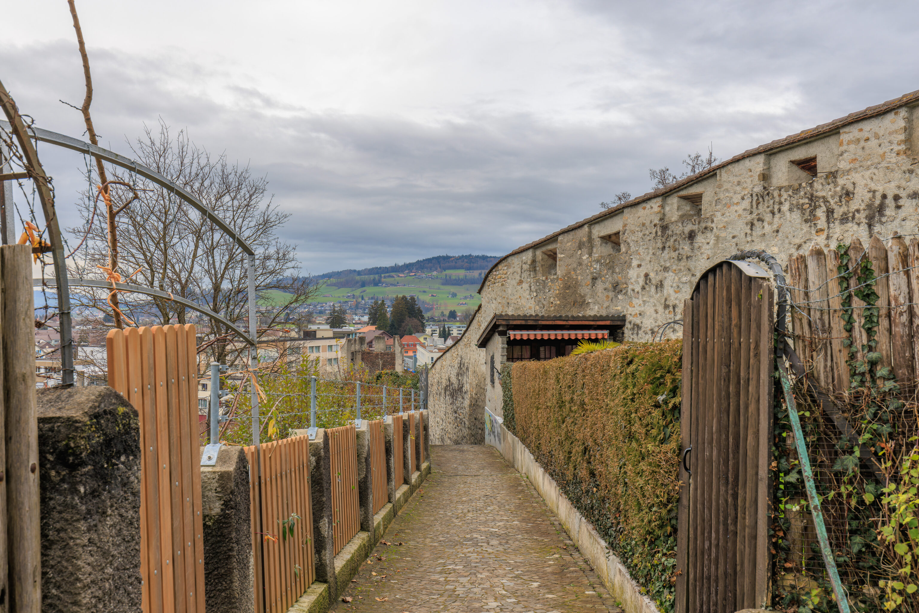
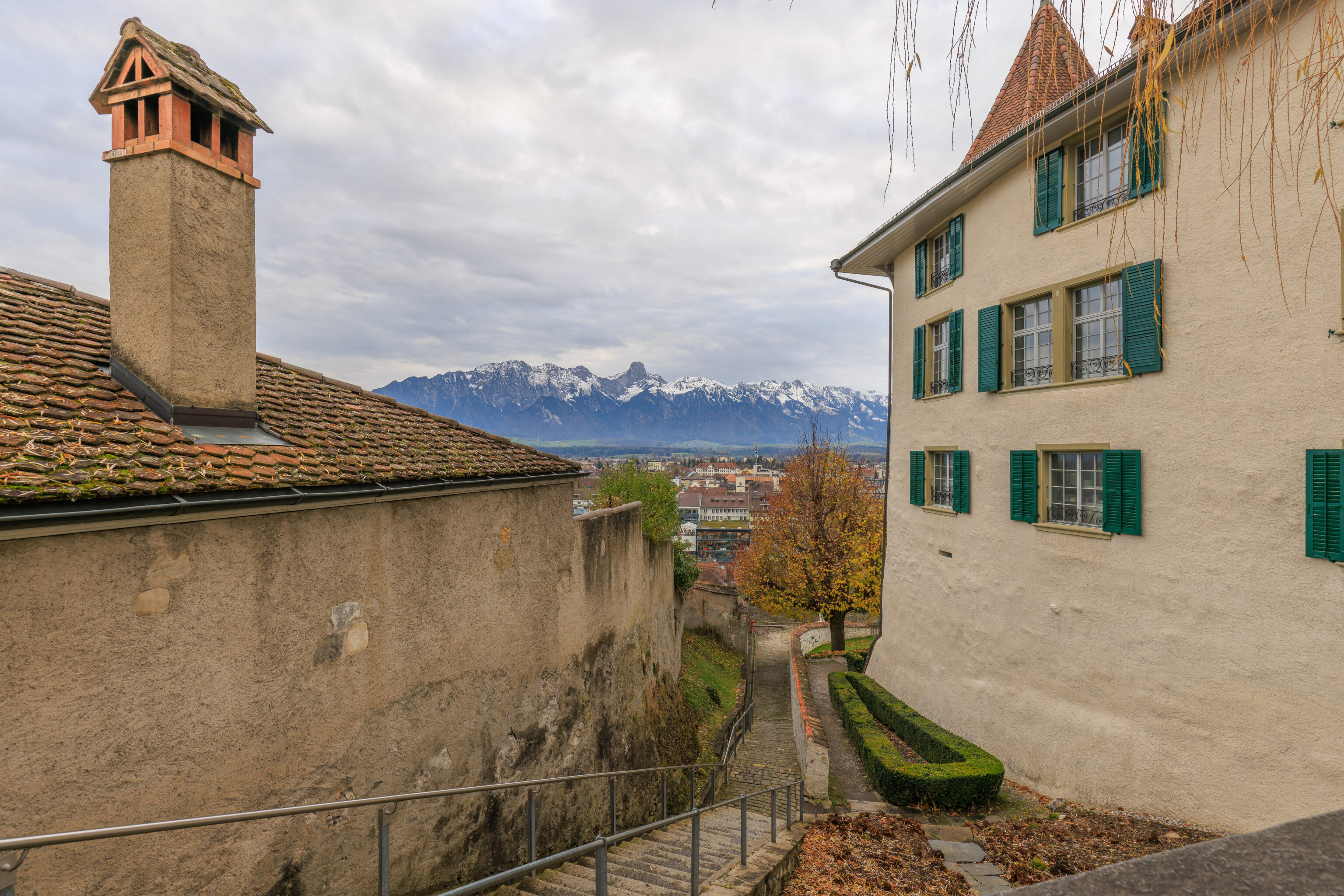
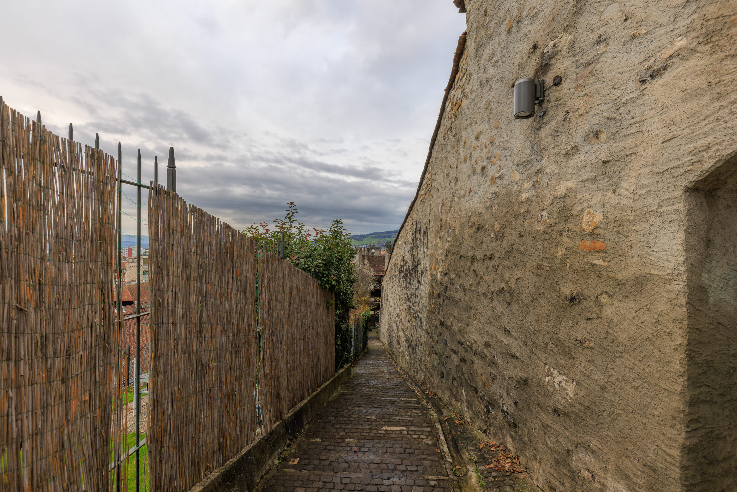
We descended to reach this narrow pathway. To the north, it runs along the wall and should take us off the hill. The fences on the left seem to lead into the back gardens of private properties along the edge of the hill.
Looking up, we could see the castle keep as well as read the sign on the little tree. It reads “Julia 17.09.2023”. It is for the birth of someone’s daughter!
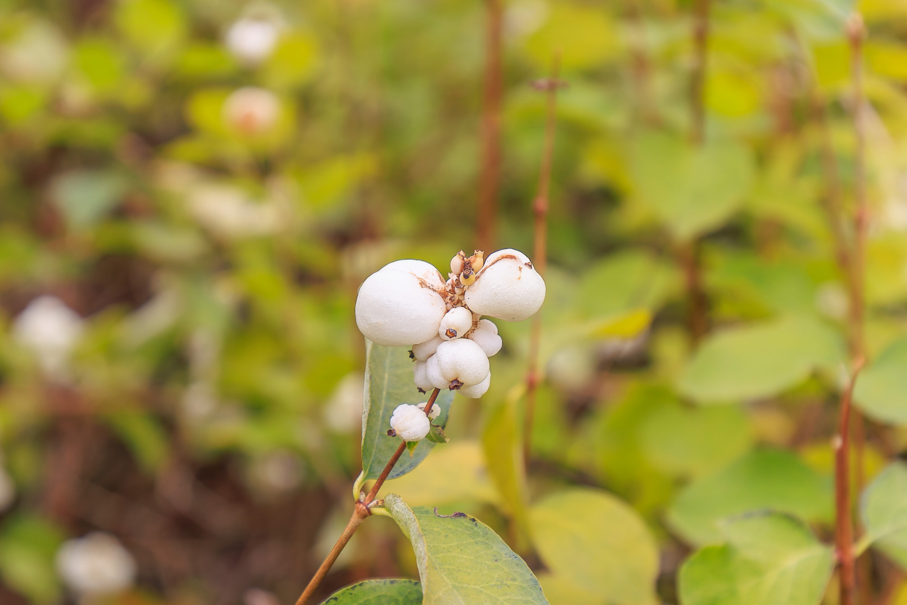
We noticed these little white cotton like bulbs on some of the plants.
We descended to the north along the wall.
Soon, we reached the end of the wall.
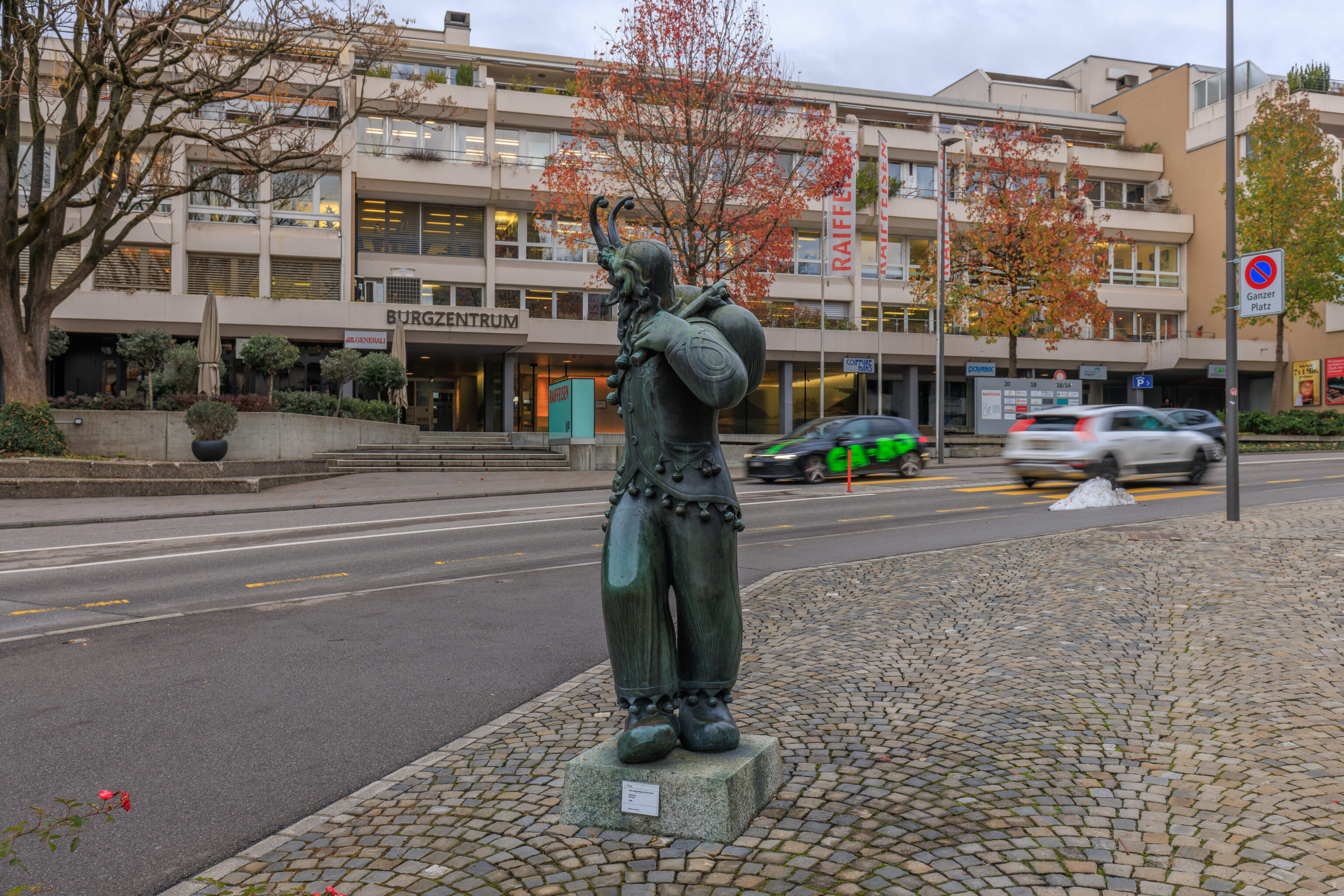
We noticed this horned statue next to the road. The little sign attached to the base of the statue indicates that this is Fulehung. Who or what is Fulehung? It is a local festival celebrated here in Thun. According to the story, Fulehung was the name of Charles the Bold‘s court jester. He mocked the soldiers of Thun, was captured during a battle, and punished. The festival seems to involve someone dressed up as the Fulehung while people mock him as he leaves the castle on his way to town hall.
The wall actually turns at the base of the hill and continues to the west.
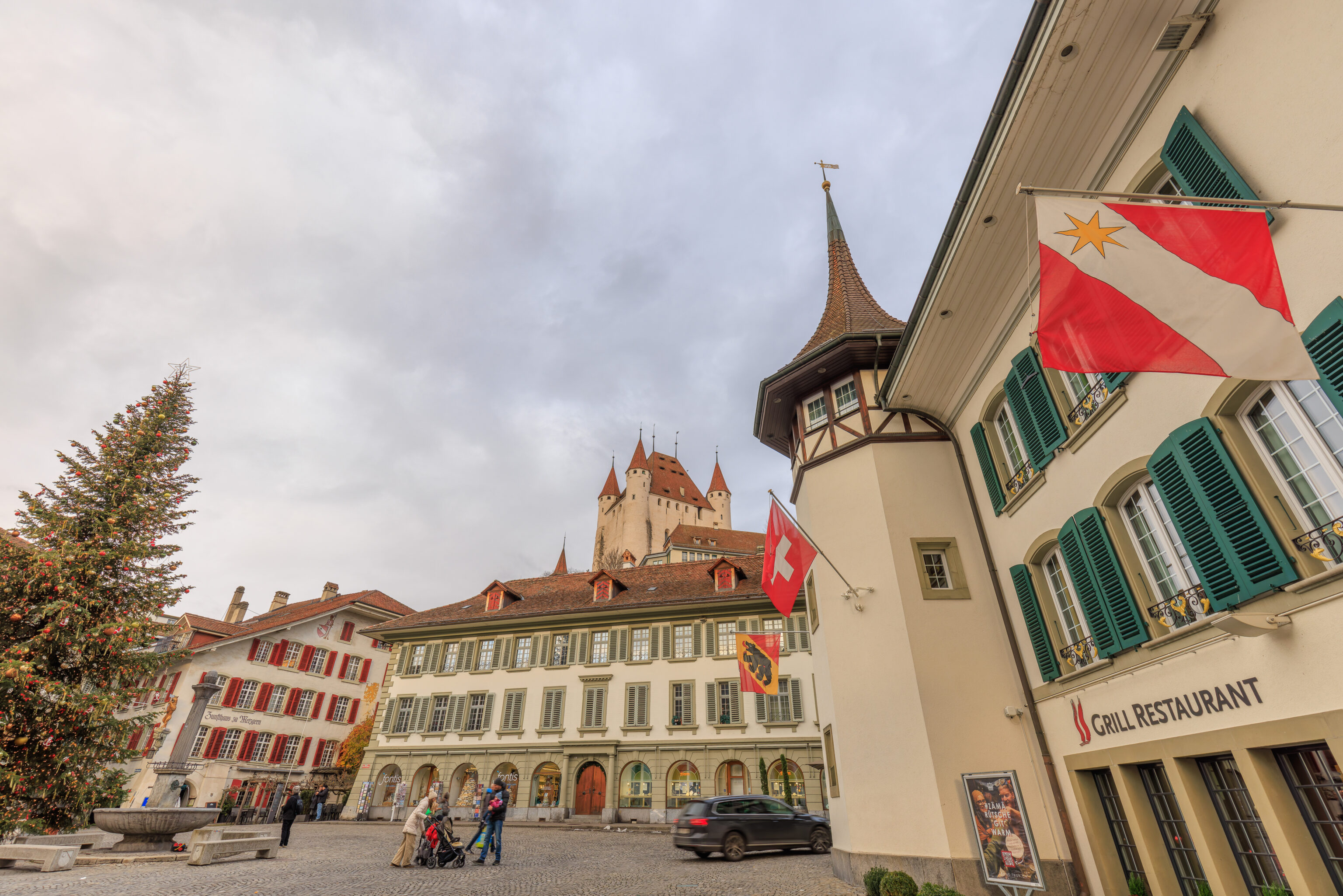
We ended up walking to the south and reached the Rathausplatz (City Hall Square) with its Christmas tree in the middle.
We crossed over the Aare via the Rathausbrücke. Looking to the east, we could see the Mühlebrüggli and a bit of the Mühleschleuse beyond.
The view in the opposite direction, to the west.
And, one last look at Schloss Thun before returning to the train station.
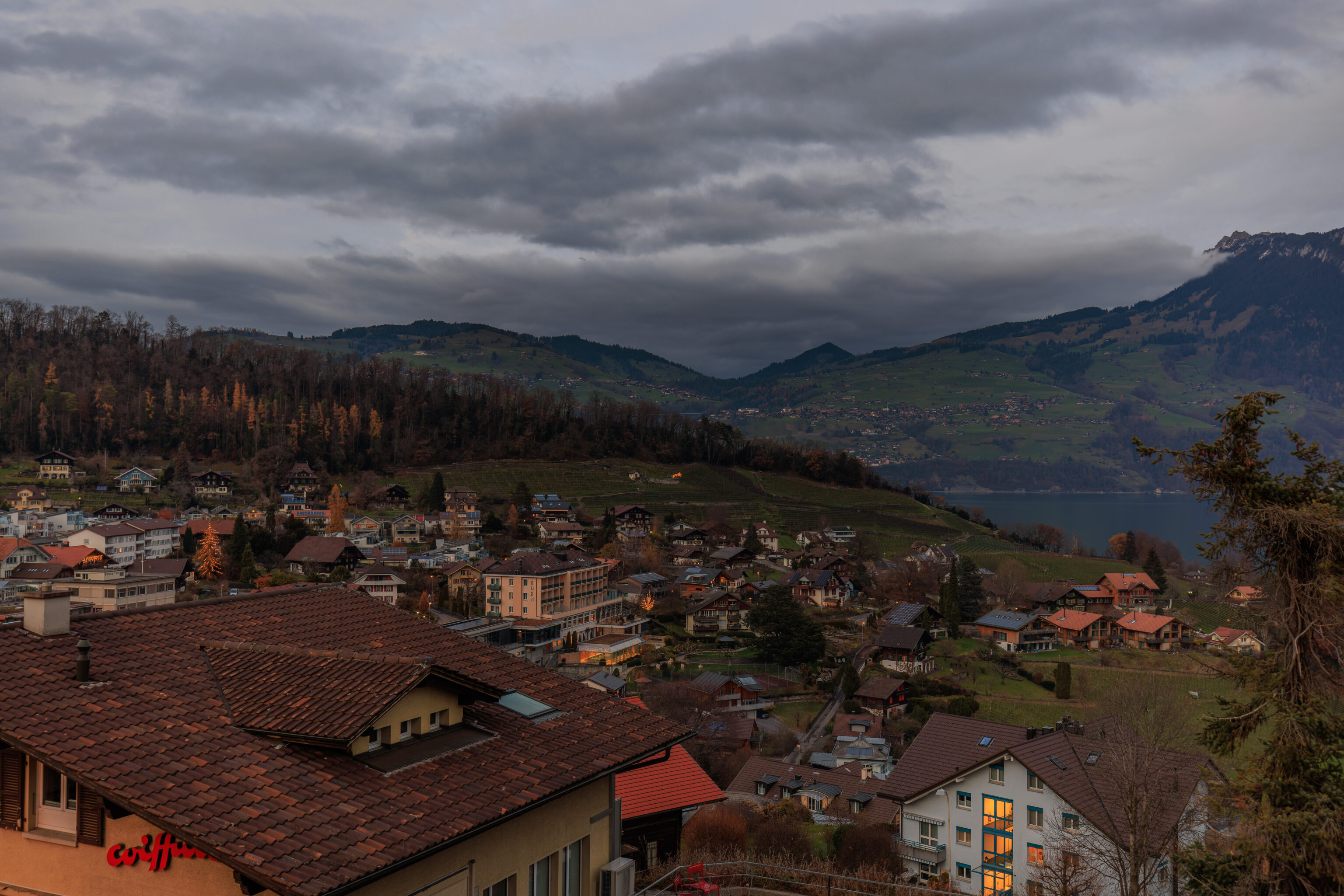
Spiez
The train to Interlaken passes through Spiez. We decided to get off the train to take a look around.
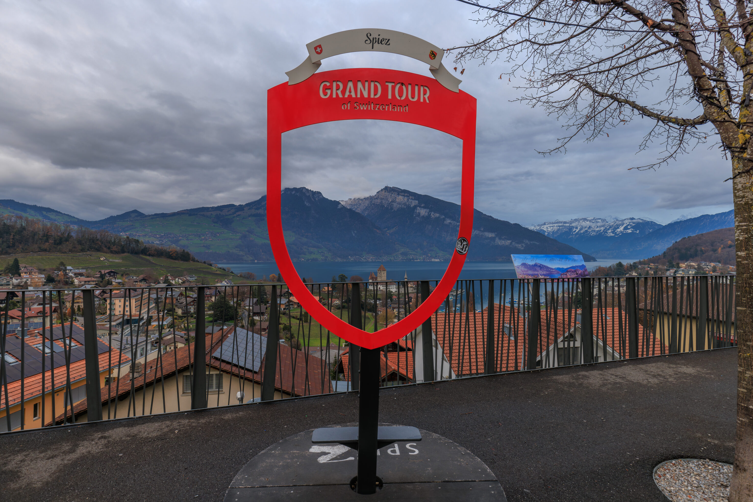
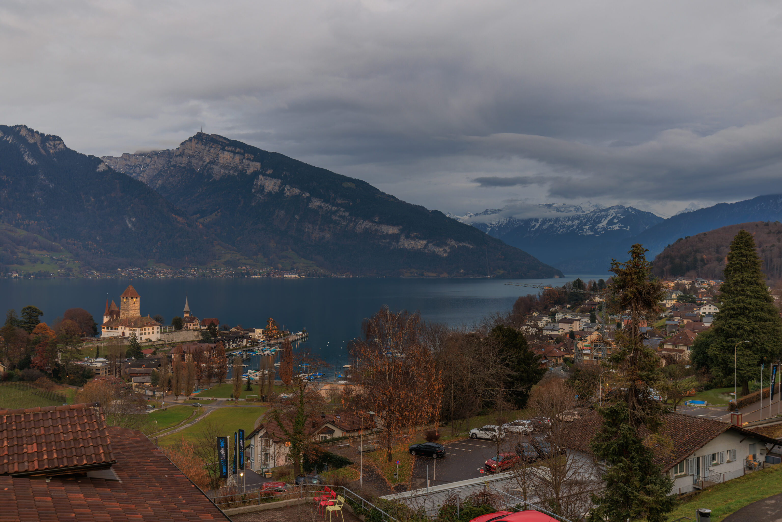
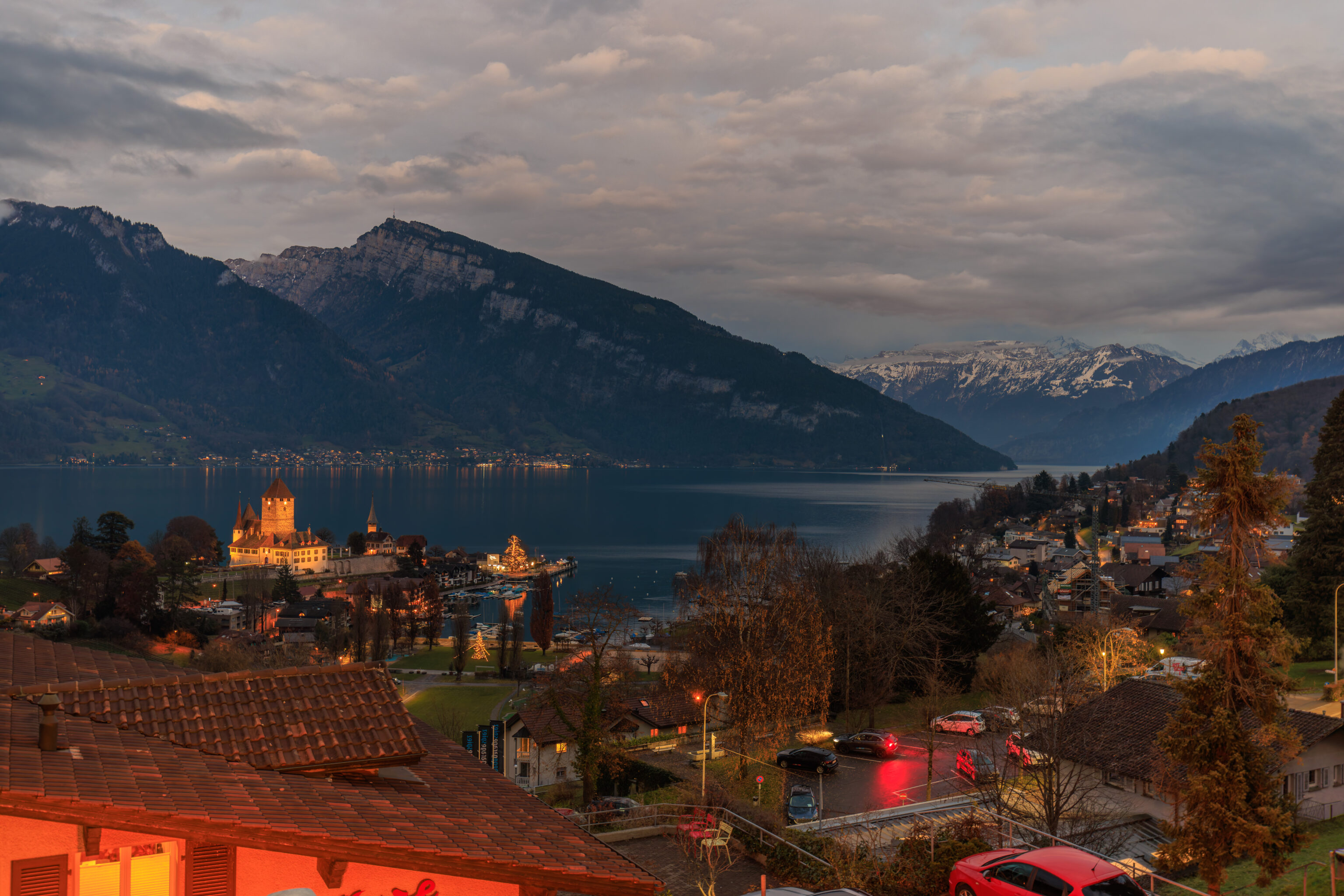
The train station is atop a hill above the northern half of Spiez and the Thunersee, the lake to the west of Interlaken. We walked out and saw the red Grand Tour photo spot next to a long overlook.
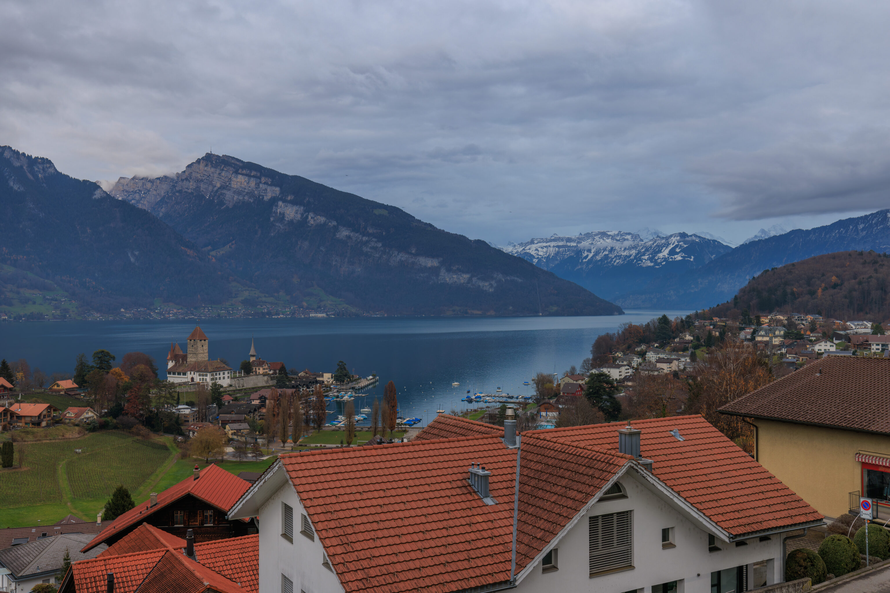
The view from here includes Schloss Spiez next to the lake.
Looking to the west, in the direction of Thun, we could see a hill with a few trees still displaying their yellow fall foliage. There were also some illuminated Christmas trees in the middle of a small traffic circle below.
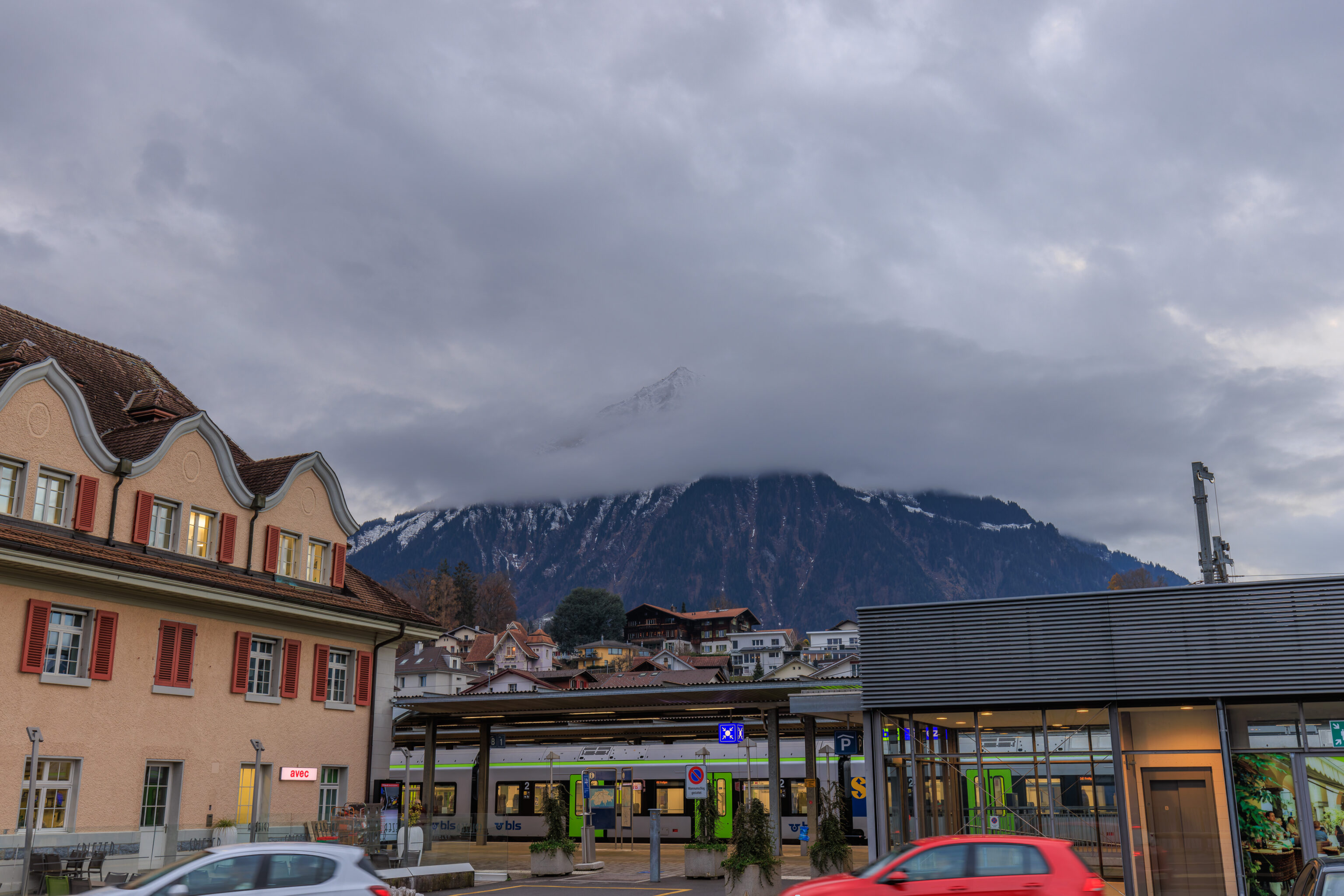
Looking back at the train station, the mountain just to the west of the town was partially obscured by a cloud.
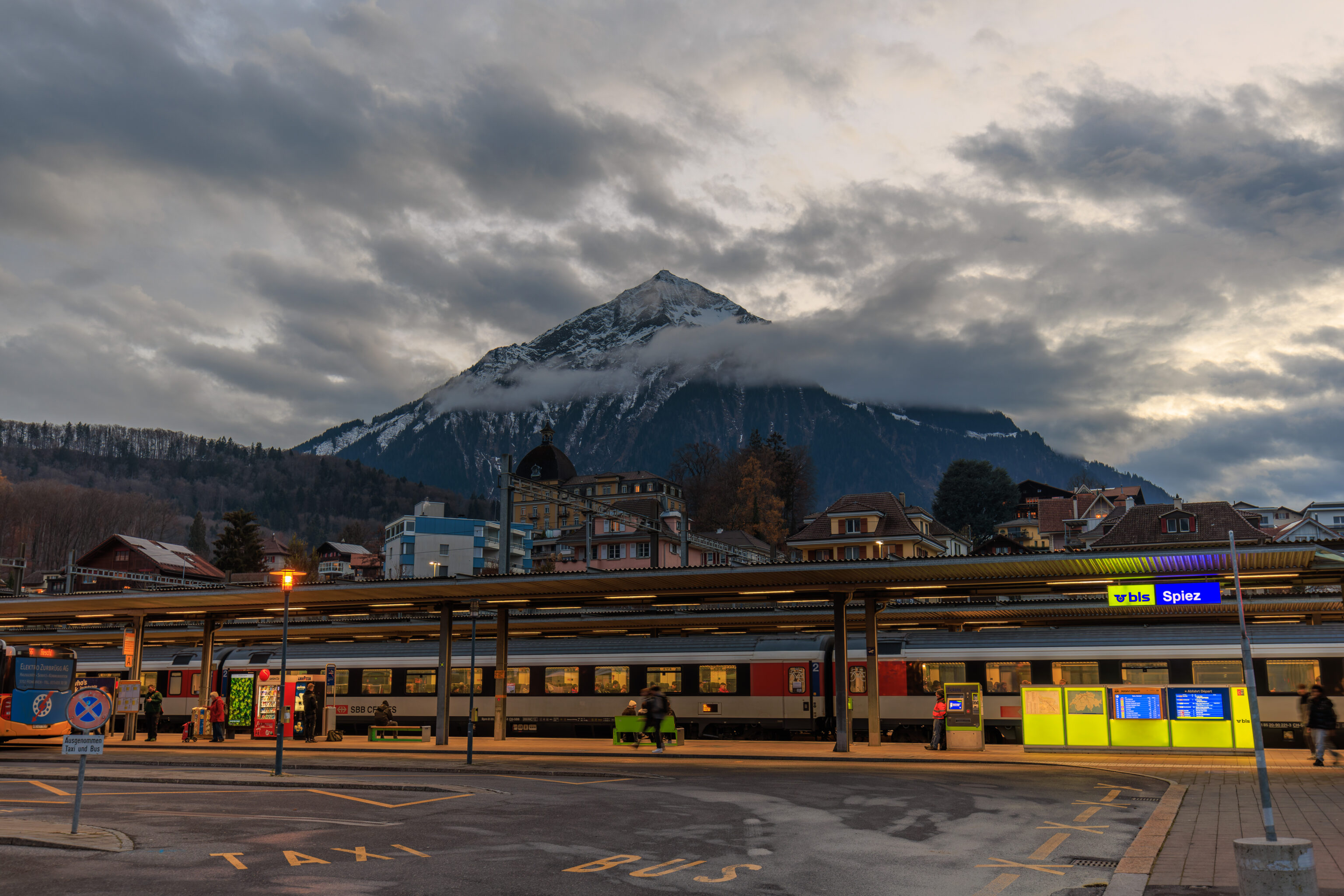
We ended up staying a bit past sunset. It mostly just got dark without any colors to look at in the sky.
Interlaken
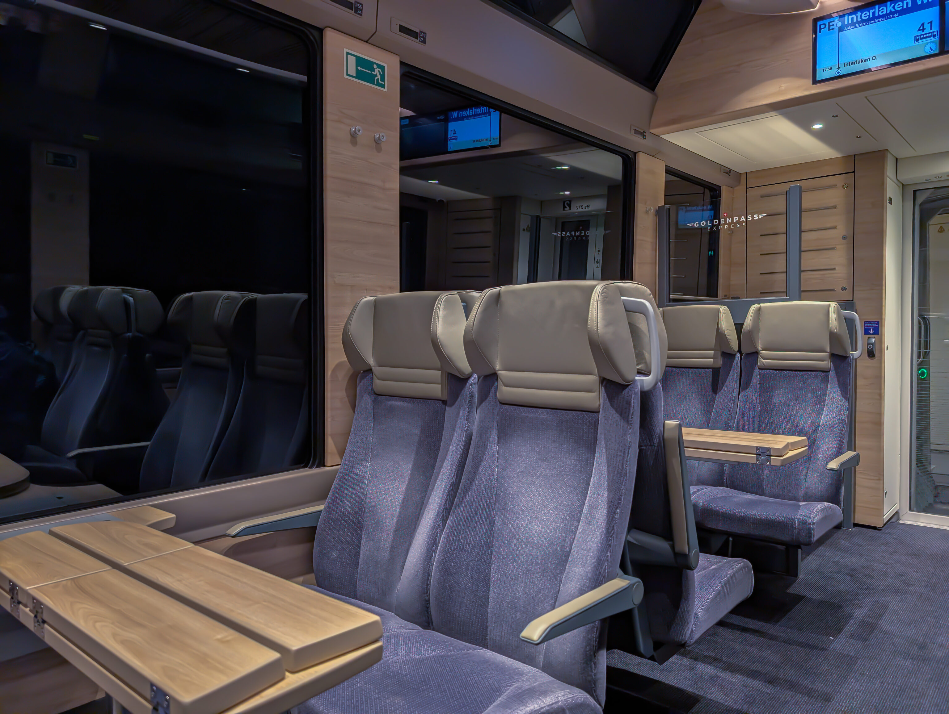
We took the next train to Interlaken West. This turned out to be one of the new Golden Pass Panoramic Express trains. It’s much fancier than the other standard Swiss trains that run through Spiez but still accepts regular second class fares. The Golden Pass line runs from Montreux to Lucerne, though not all trains run the entire route.
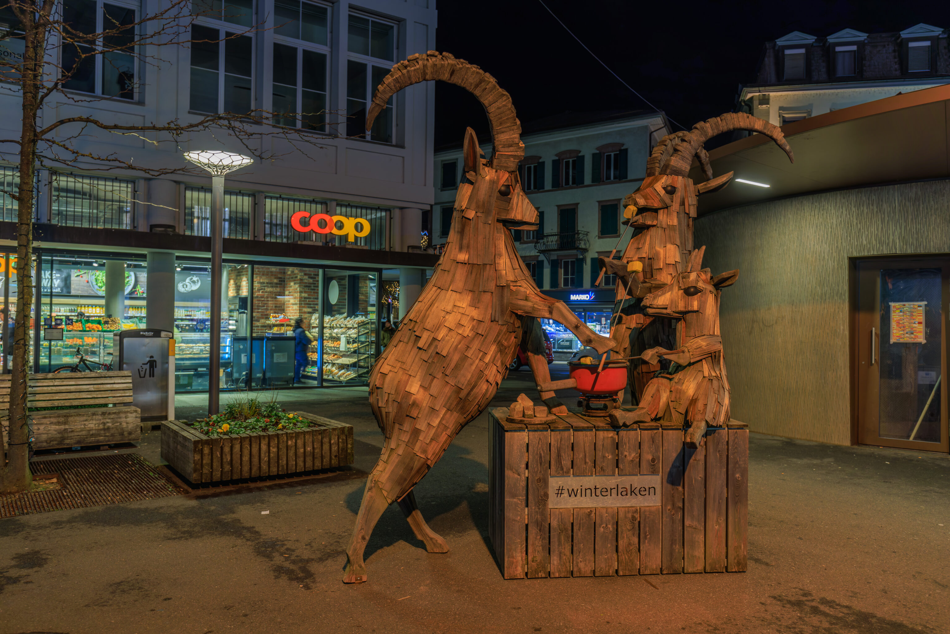
After returning to Interlaken, it was time to get dinner. We had considered eating in Thun as well as Spiez but ultimately decided to eat back here. We walked to the east from Interlaken West, coming across these two Alpine Ibex enjoying a fondue.
We considered a few restaurants near the station but ended up at OX Restaurant & Grill. Google Maps thinks it’s a barbecue restaurant, the description suggests it is Swiss cuisine, but it leans more towards Italian.
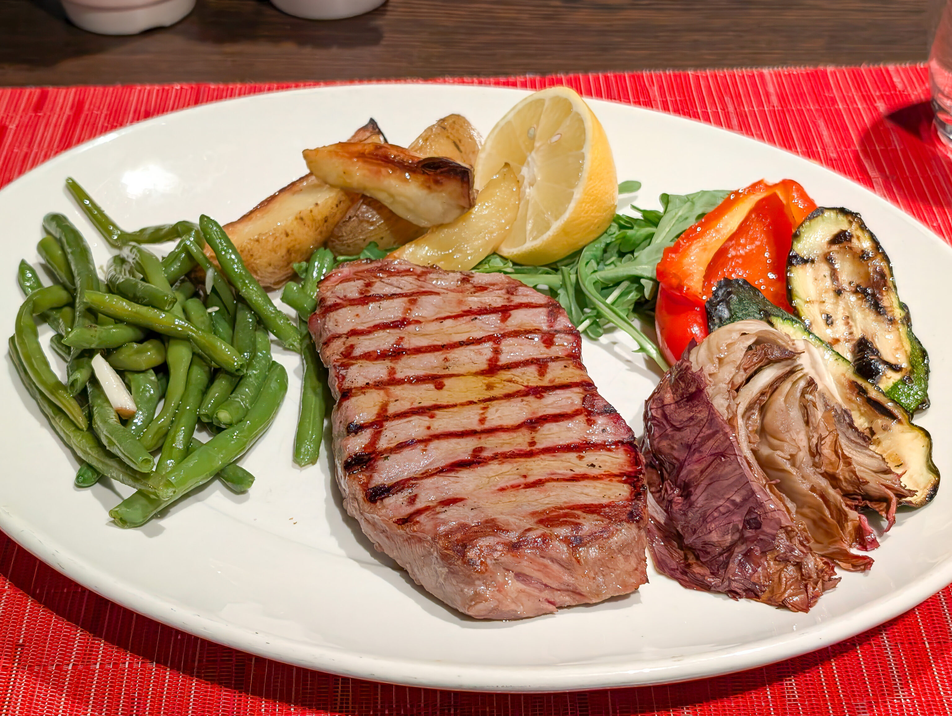
We ordered a steak to see what steak was like in Switzerland. It a mediocre cut of beef with pretty much no flavor. Hopefully just a poor example!
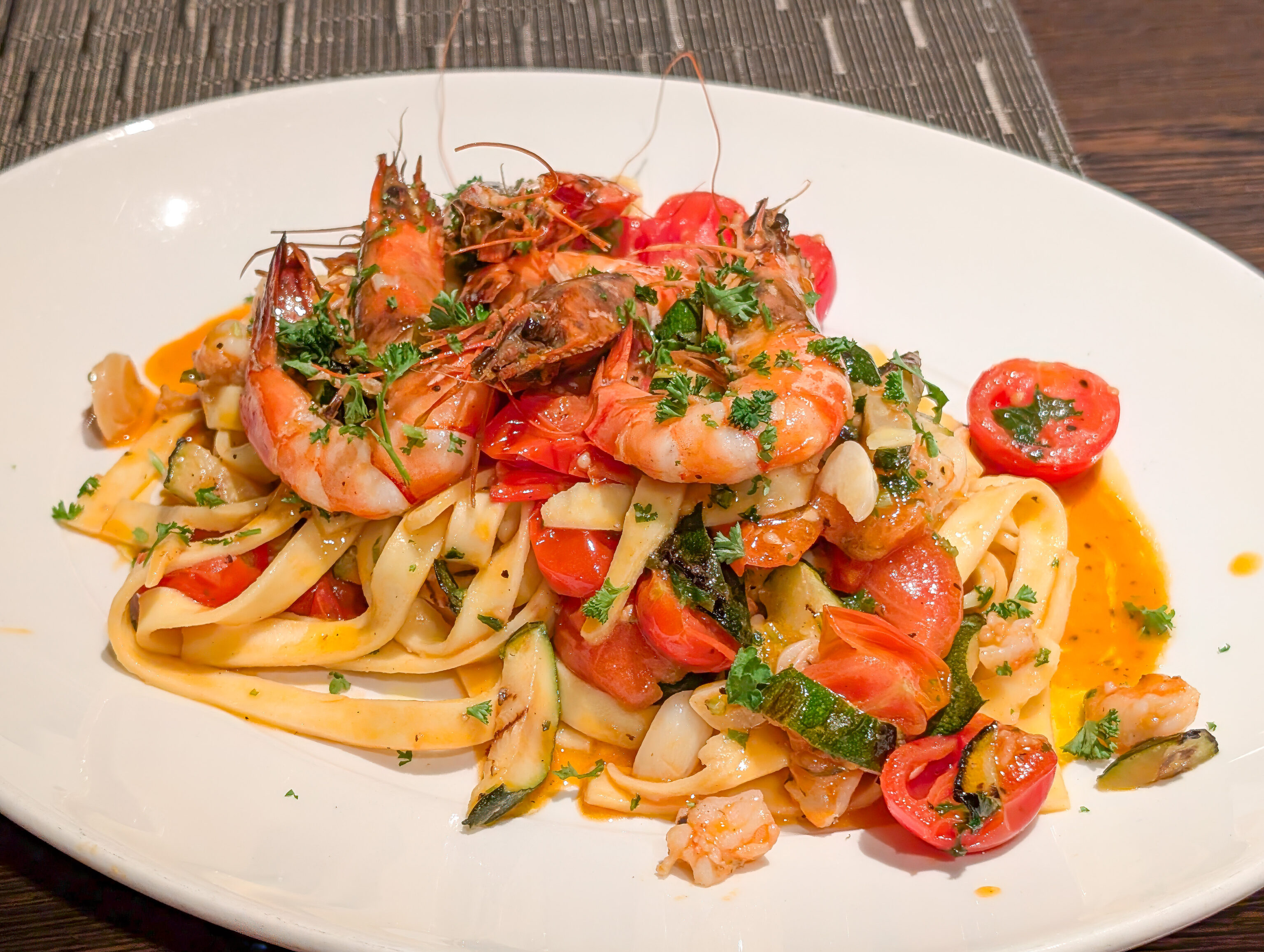
he Bavette, apparently a type of pasta, was very good and full of flavor. It was even a tad spicy!
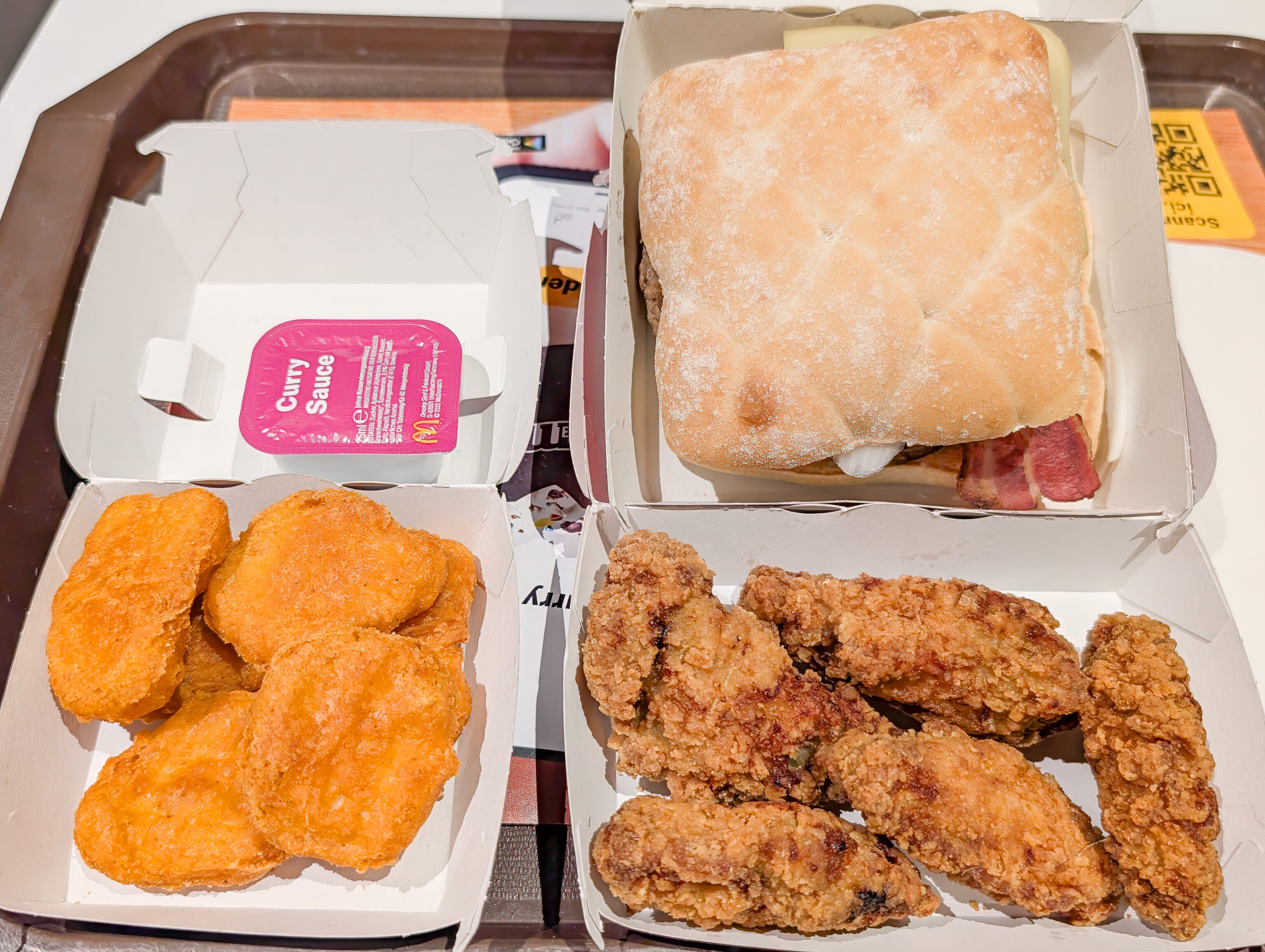
After dinner, we stopped by McDonald’s to try the McRaclette as we’ve been seeing it in advertising everywhere! We ended up getting the McRaclette with bacon and rösti as well as fried chicken wings and spicy Chicken McNuggets.
The McRaclette was a typical terrible beef patty with the addition of presumably Swiss raclette cheese, pickles, onion, and some kind of sauce. The rösti was basically a squished hash brown. The bacon was not quite American but not too bad either. Overall, the combination works because it helps hide how bad the beef is!
So far, the only other McDonald’s where we found wings was the location in Zermatt, Switzerland. We were surprised to find it here. The wings were decent but not as good as our memory of Zermatt wings.
The spicy chicken nuggets were basically the standard American Chicken McNugget with a spicy shell which wasn’t really spicy at all. We got it with curry sauce, because we don’t have it in the USA. It was a bit weird.
Overall, these three items cost about 24 CHF, or about $27. Kind of like buying food at an airport. We rarely get McDonald’s anywhere in the world, though it’s interesting to see what they have in their countries and try their local items.
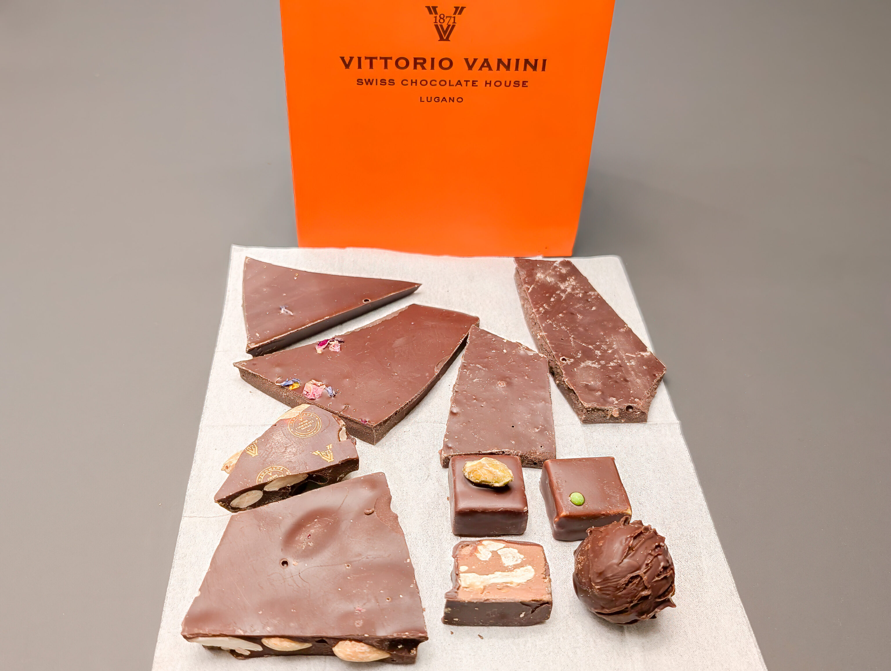
We also visited Vittorio Vanini, a Swiss chocolatier from Italian speaking Lugano, after dinner to buy some chocolate treats. They’re good, though their dark chocolates are on the sweet side.