
Our final full day in Seoul! After breakfast at the RYSE, we returned to Namsan for the Beacon Lighting Ceremony. We then visited Gyeonghuigung and the adjacent Seoul Museum of History before taking a quick look at the Sajik Altar. We ended the day with dinner at a BBQ restaurant by the Sejong Village Food Street.
Morning
After waking up at the RYSE, we had our usual buffet breakfast in the restaurant.
Namsan Beacon Lighting Ceremony
As this is our last full day of the trip, we wanted to catch the Namsan Beacon Lighting Ceremony. We missed it when we were here a week ago due to mistaking the time of the event!
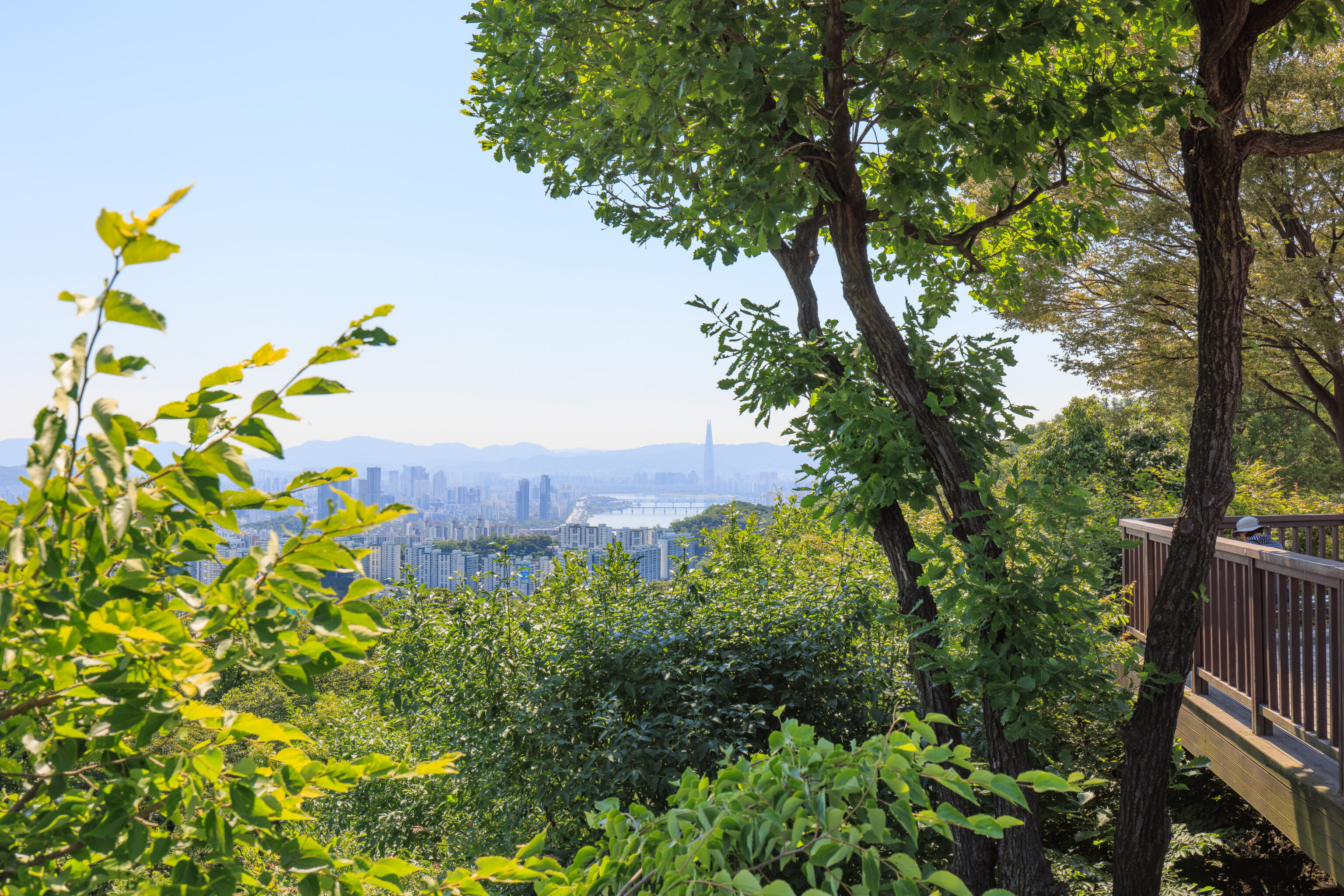
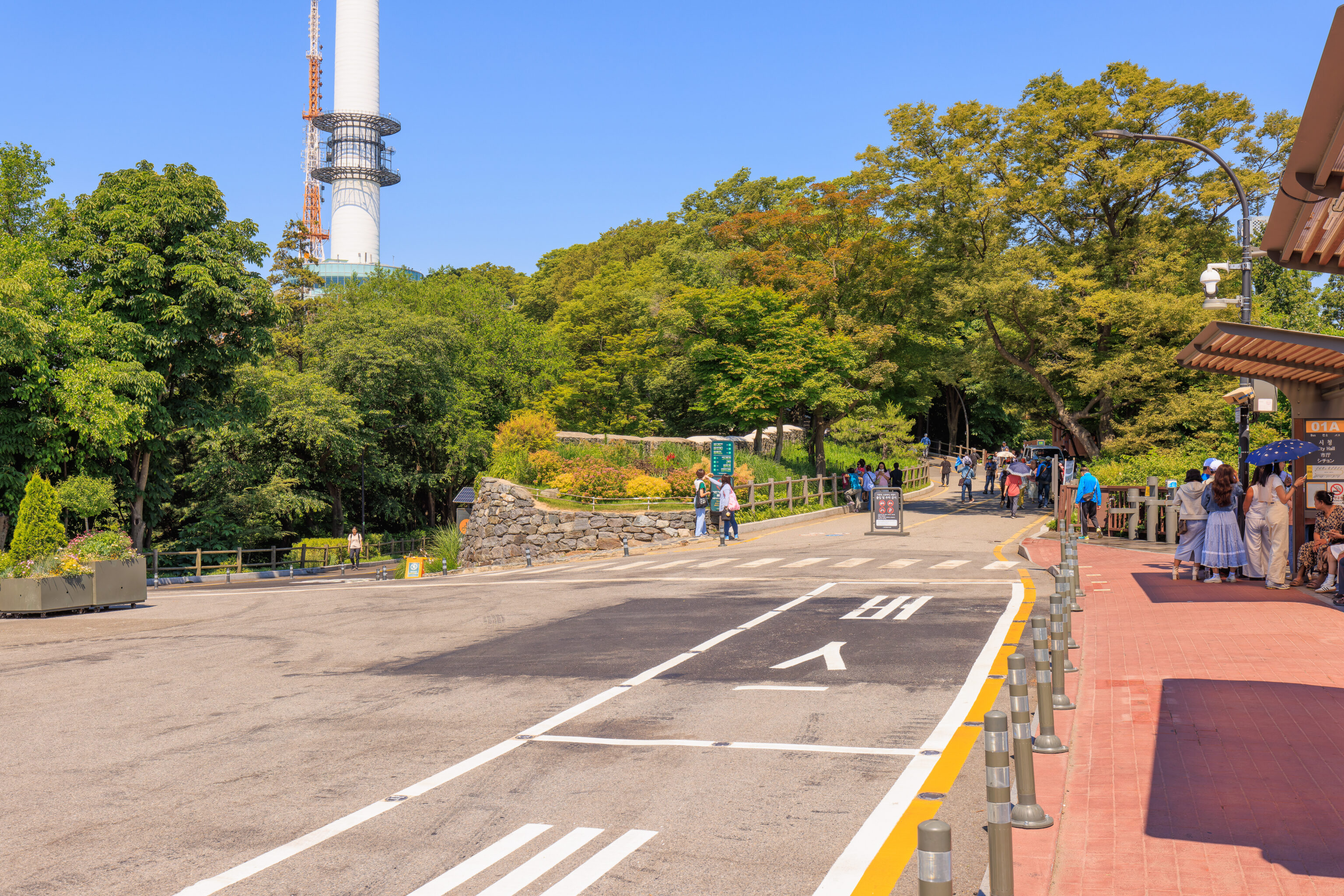
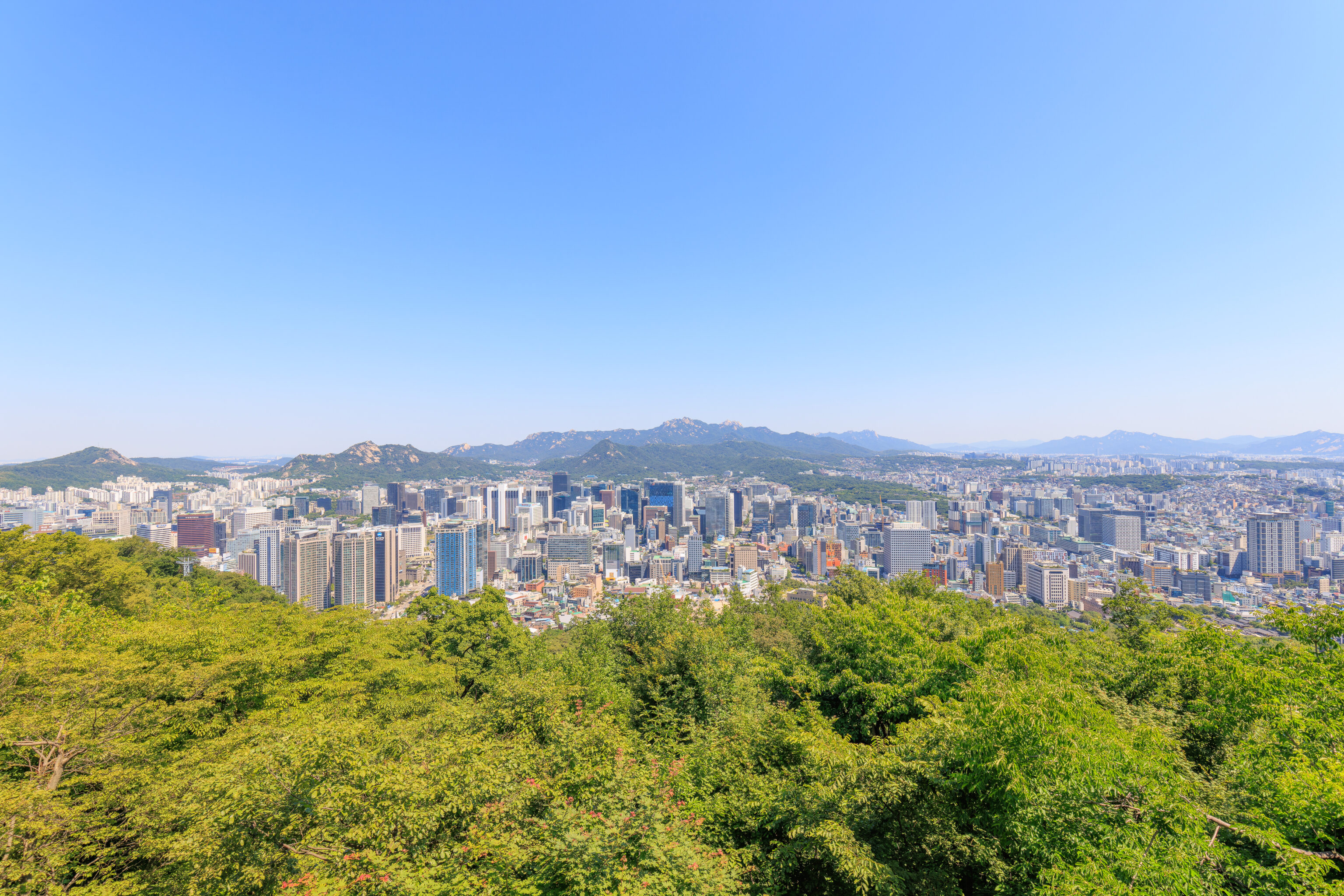
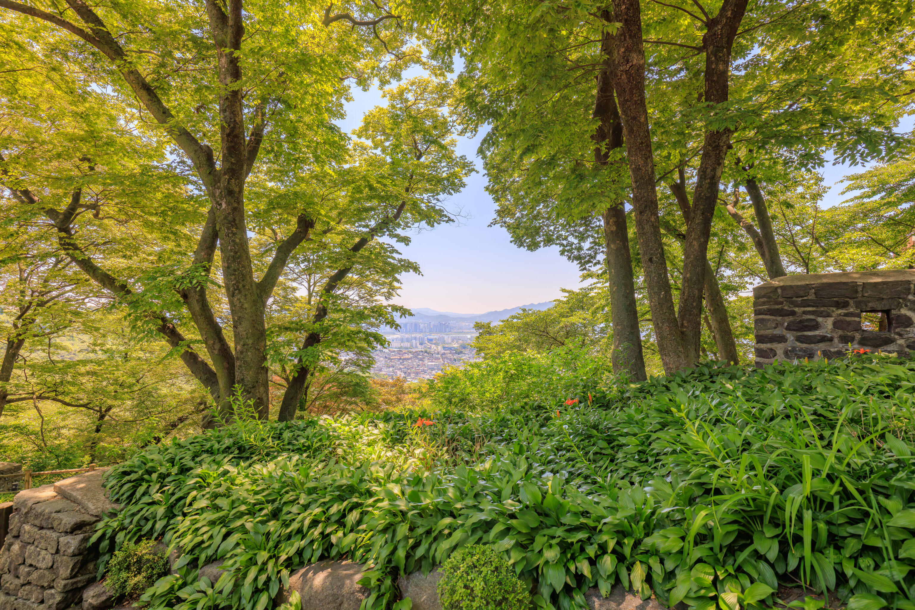
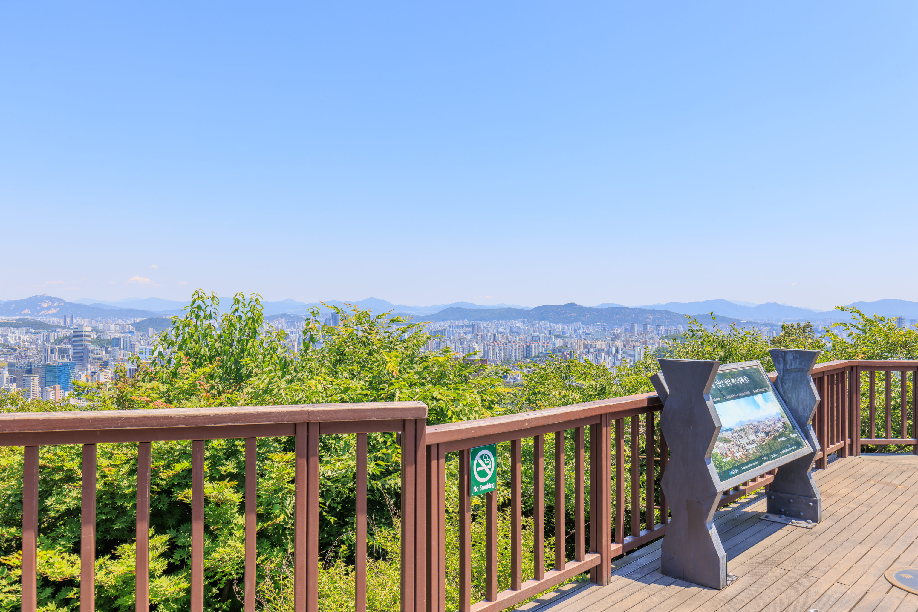
We arrived at 남산 Namsan at around 10:25am, plenty of time for the 11am ceremony. We first took a brief look at the view from the large overlook next to the bus stop. It was rather hazy but we could still make out the Lotte World Tower, the tallest building in Korea. We won’t get to visit it on this trip. Maybe next time?
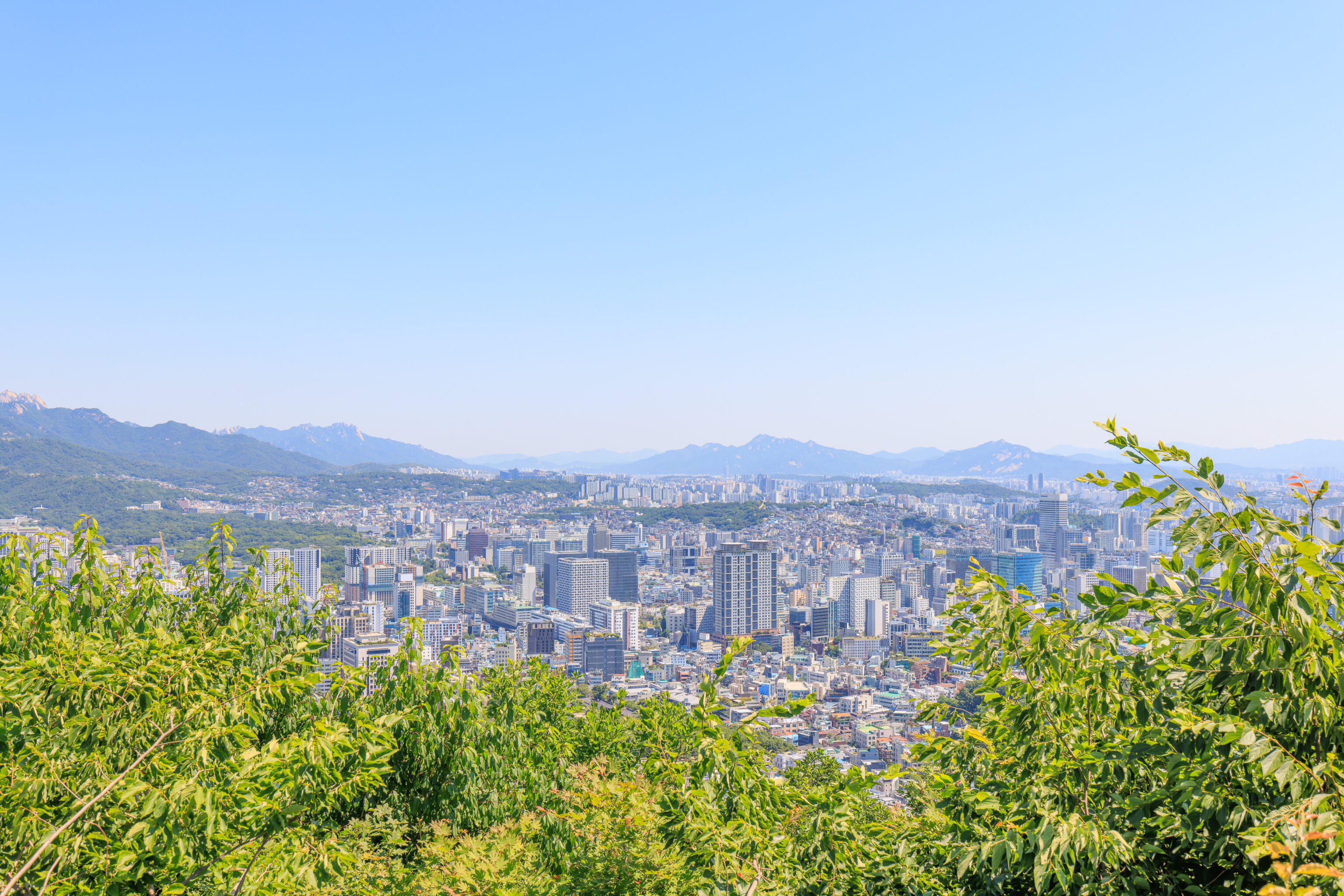
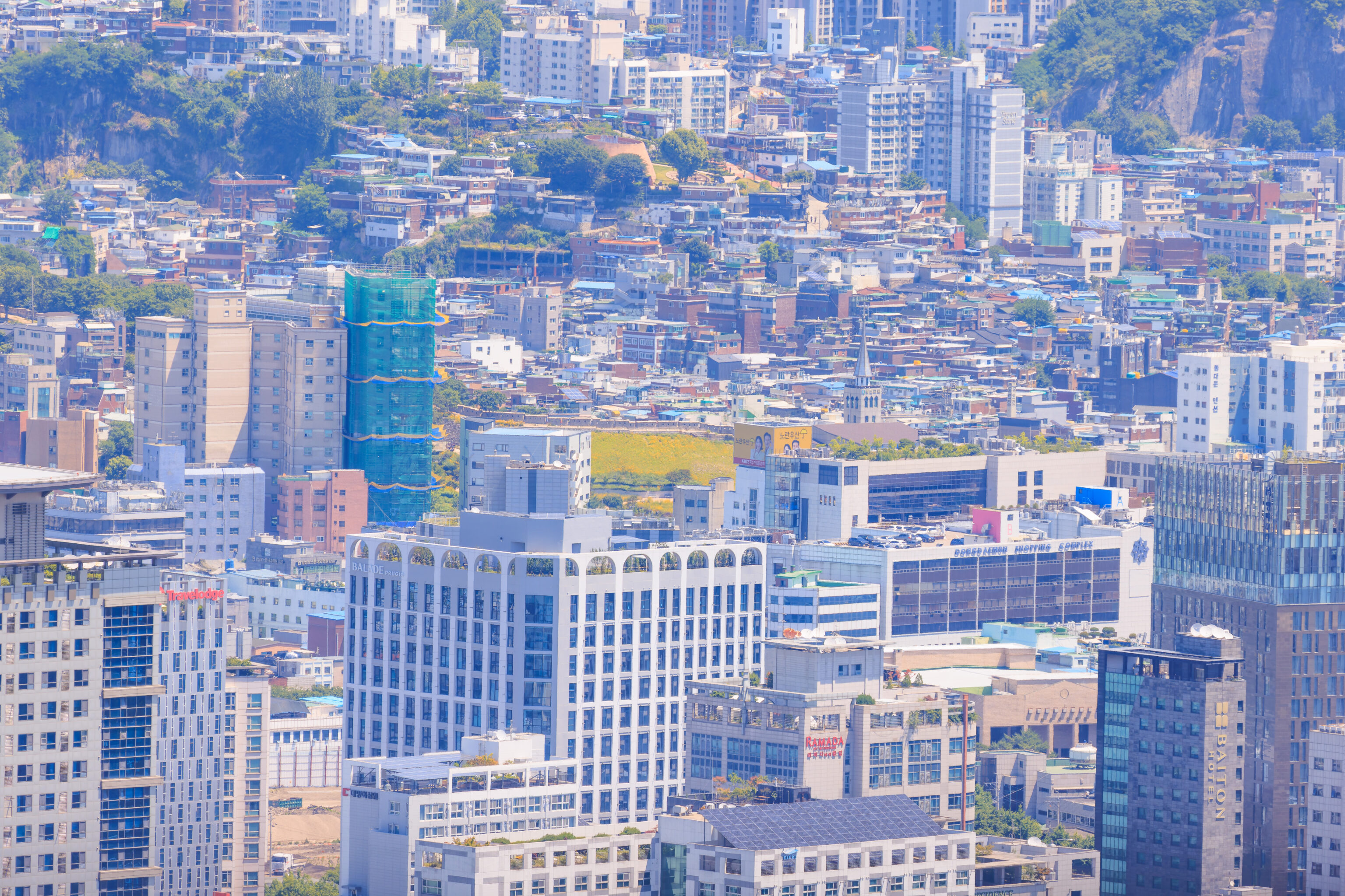
Looking to the north, we could see many tall buildings of the modern city of Seoul in the area that was formerly surrounded by the city’s historic walls.
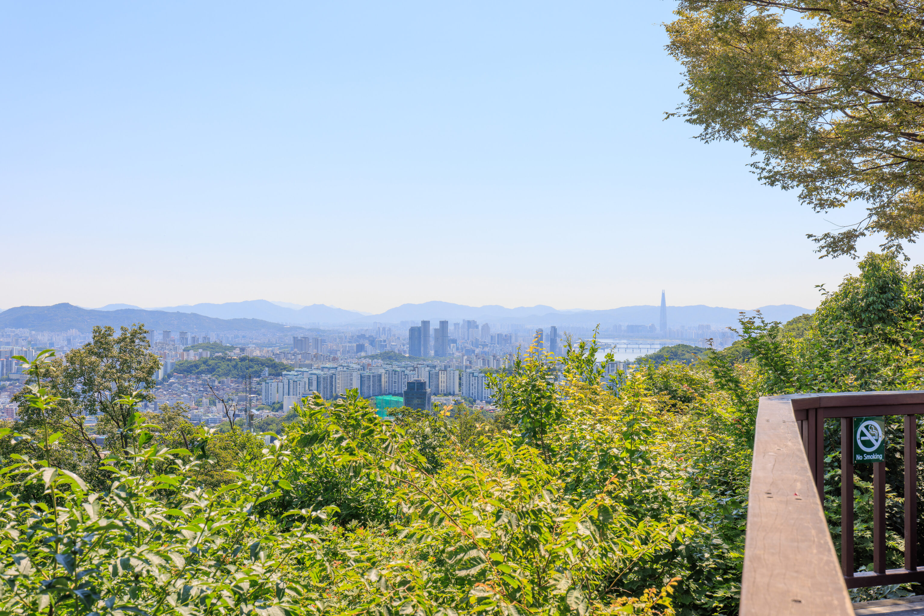
After walking a bit to the west, we got a wider view of the area around the Lotte World Tower.
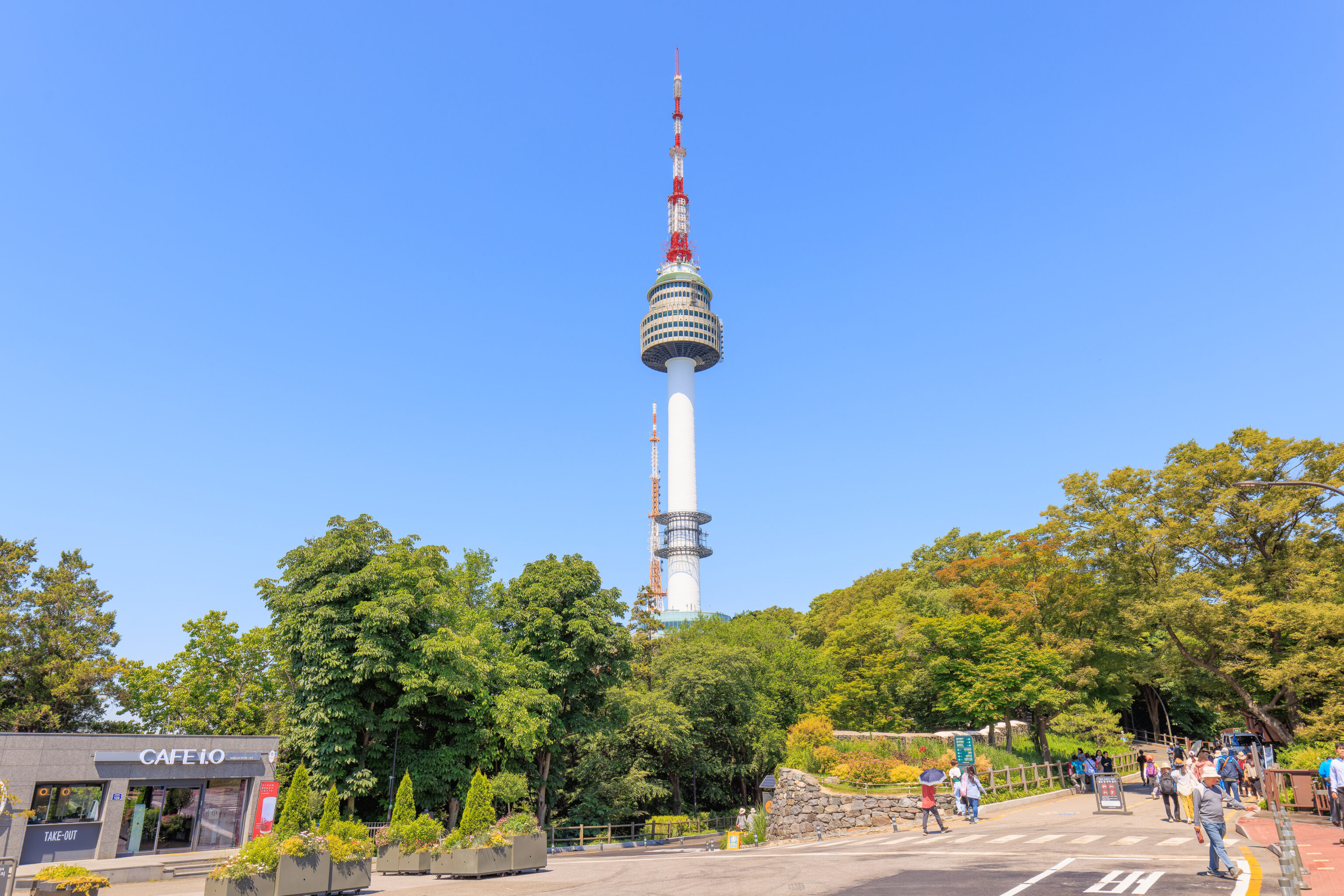
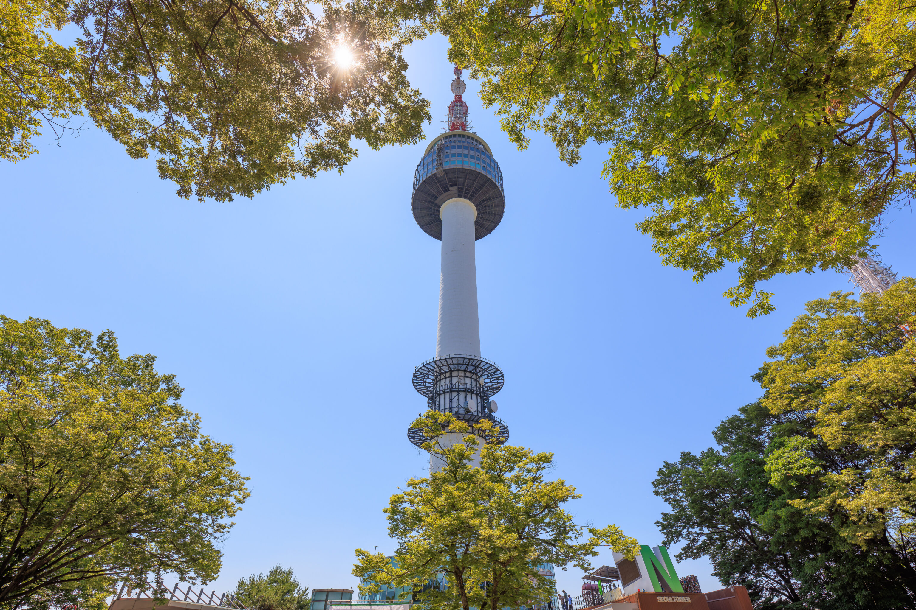
The bus stop has a clear view of the N Seoul Tower.
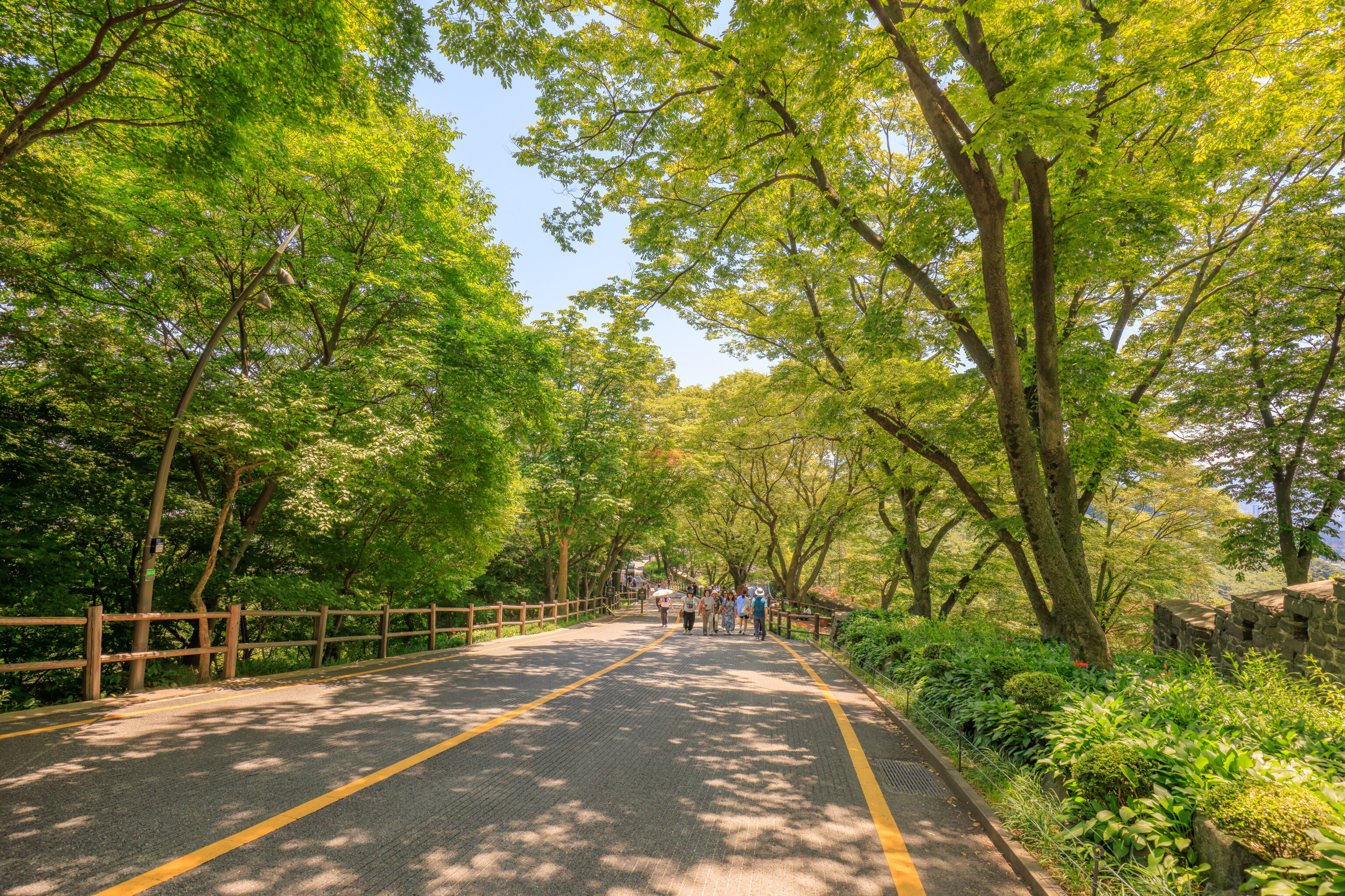
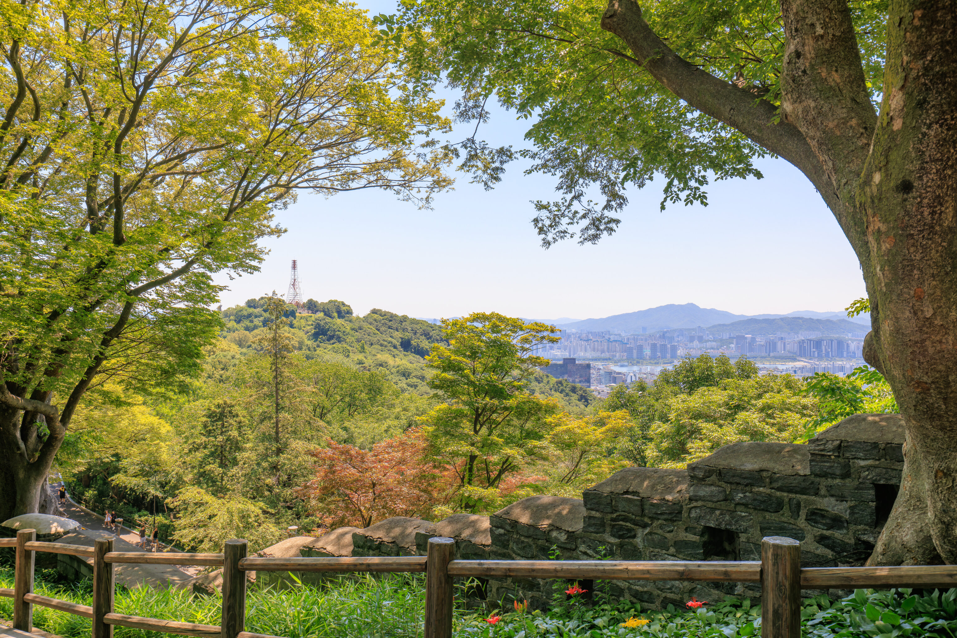
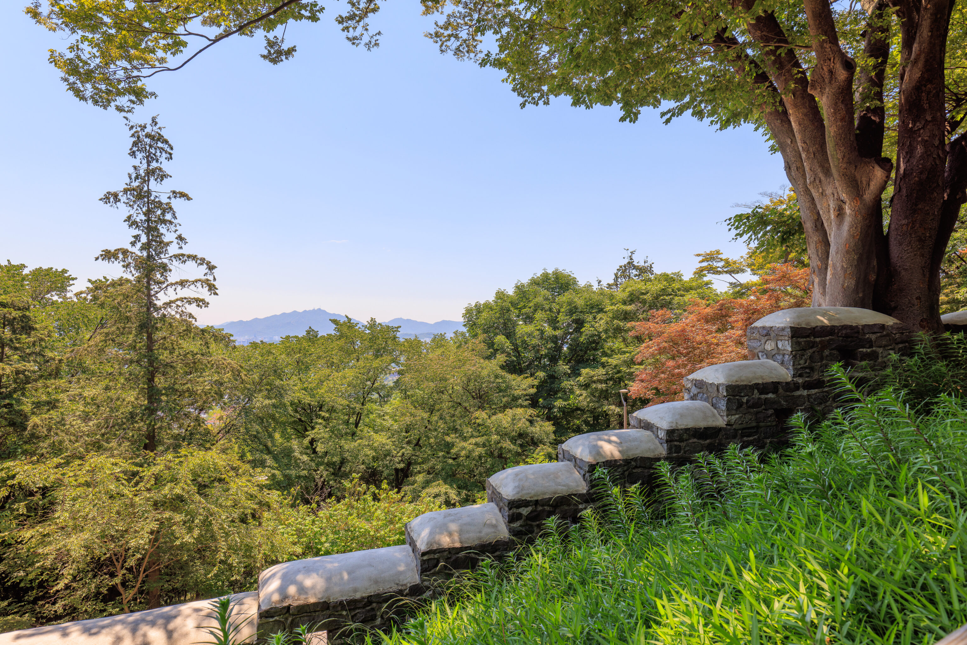
We started the uphill walk that would lead us to the Namsan Beacon Mound.
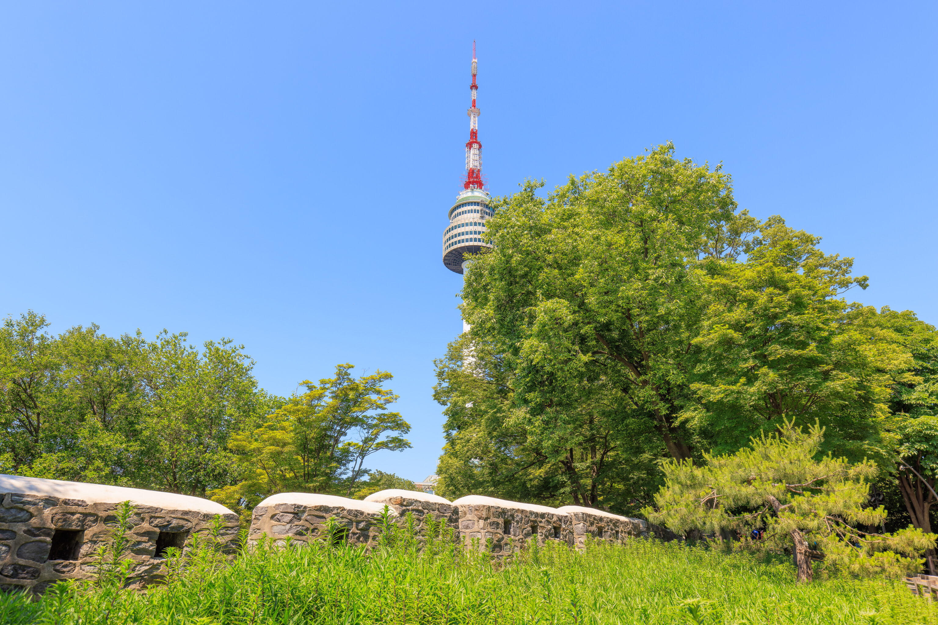
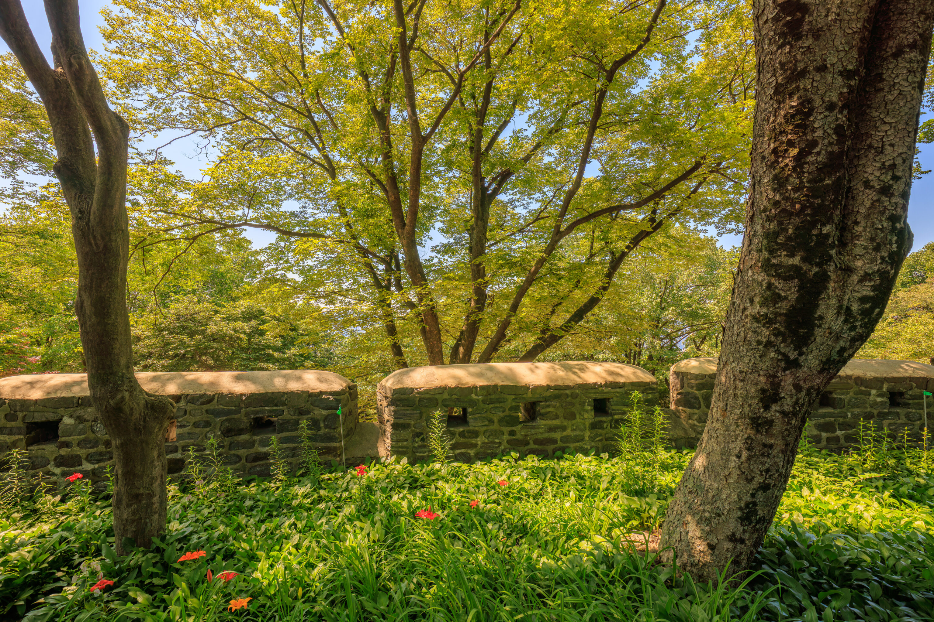
Portions of the city wall still remain here on Namsan. This would have been the southern border of the city when the wall was still relevant.
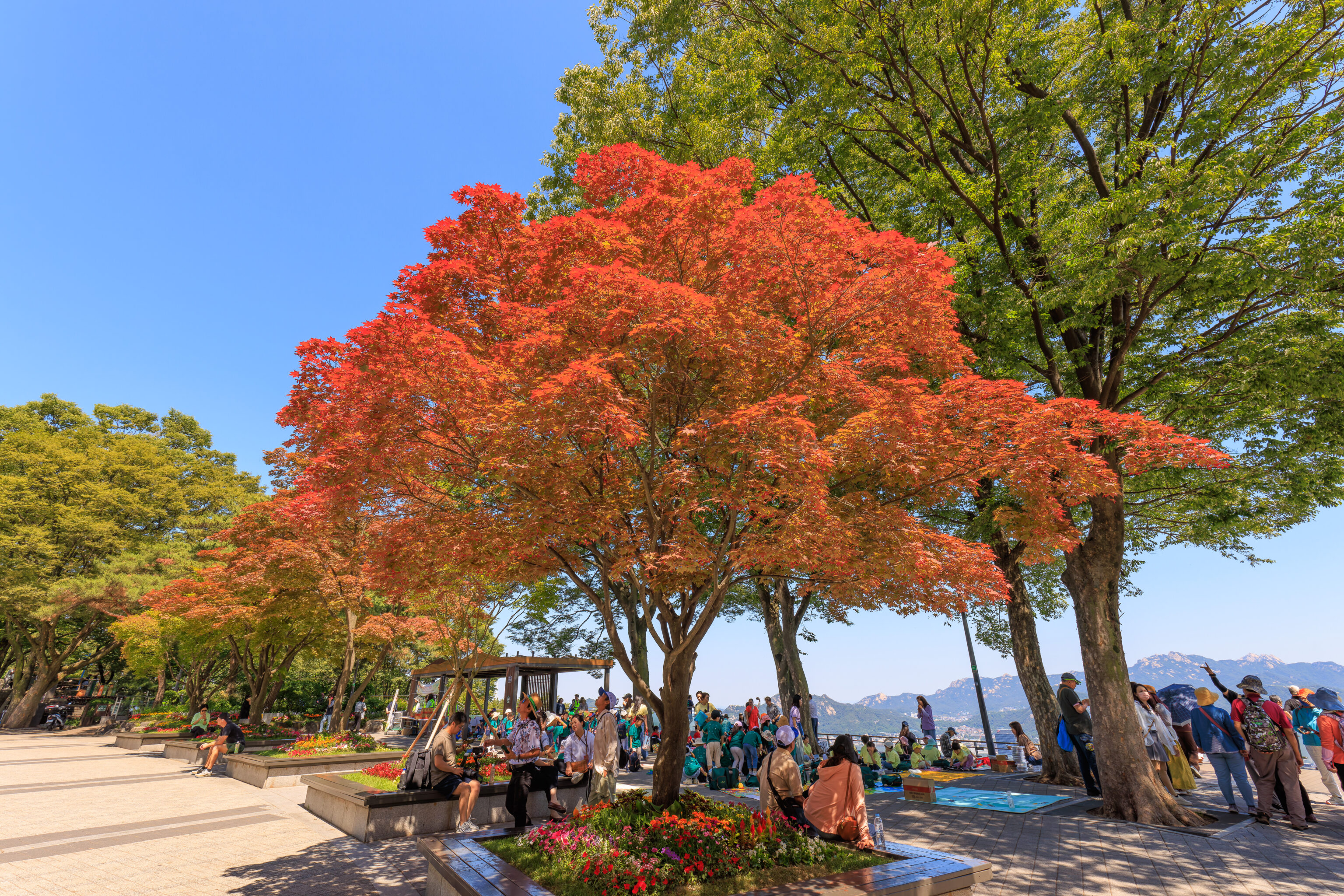
Namsan is mostly covered with trees.
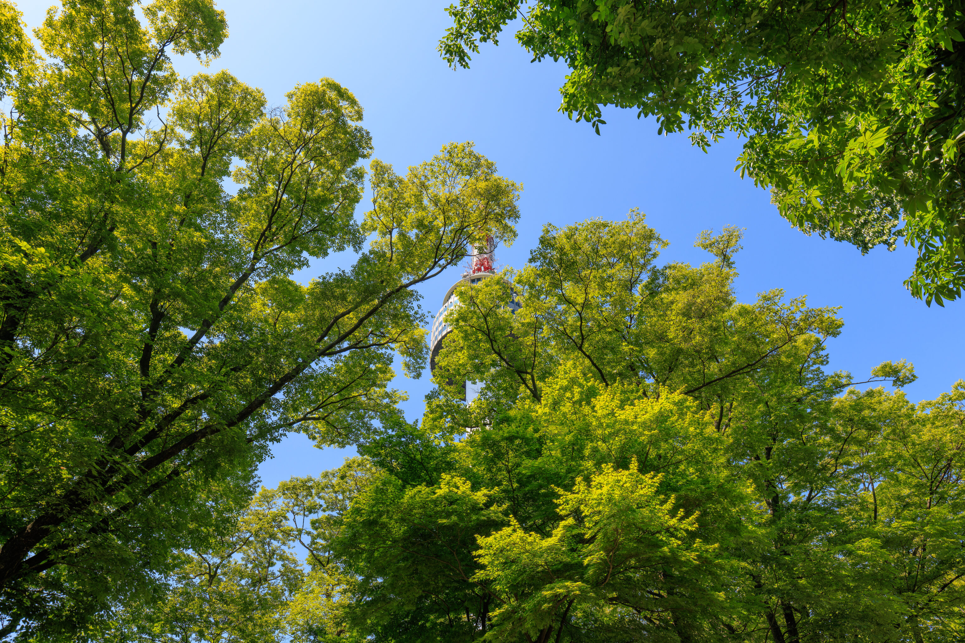
We could occasionally see the N Seoul Tower through the canopy above as we continued walking along the path uphill.
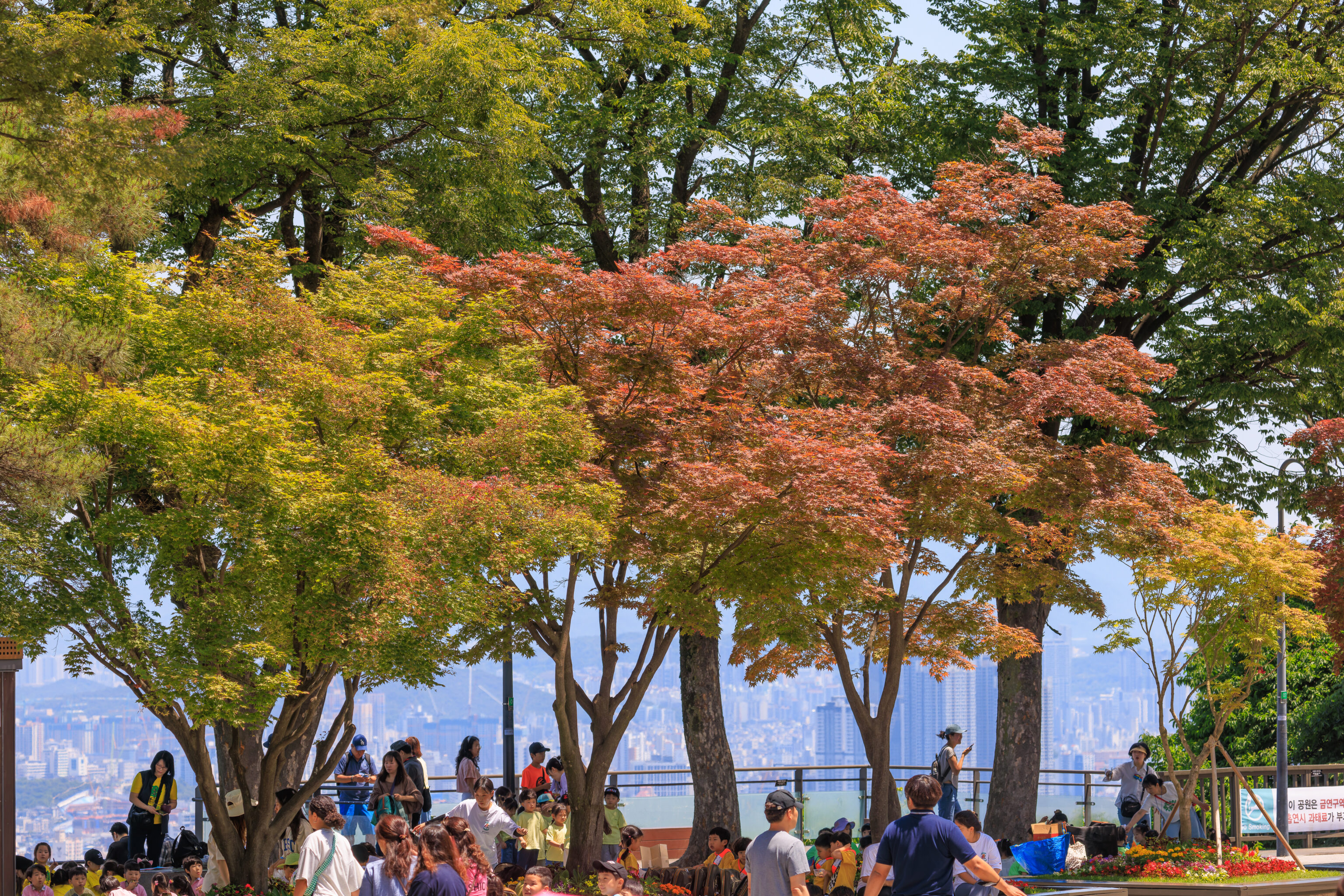
It only took a few minutes to reach the large plaza next to the N Seoul Tower. It was extremely busy when we arrived due to a number of school groups that were present! These seemed like elementary school children. We weren’t sure what they were doing but having lunch here seemed to be part of the day’s activities.
We enjoyed the view from here as it was still quite early for the ceremony.
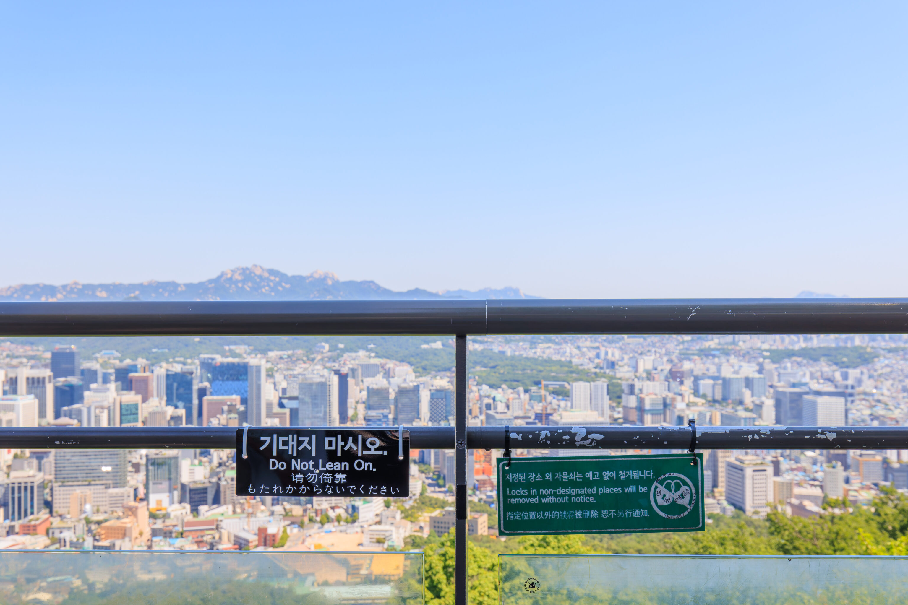
Don’t lean on the railing! And, don’t place locks!
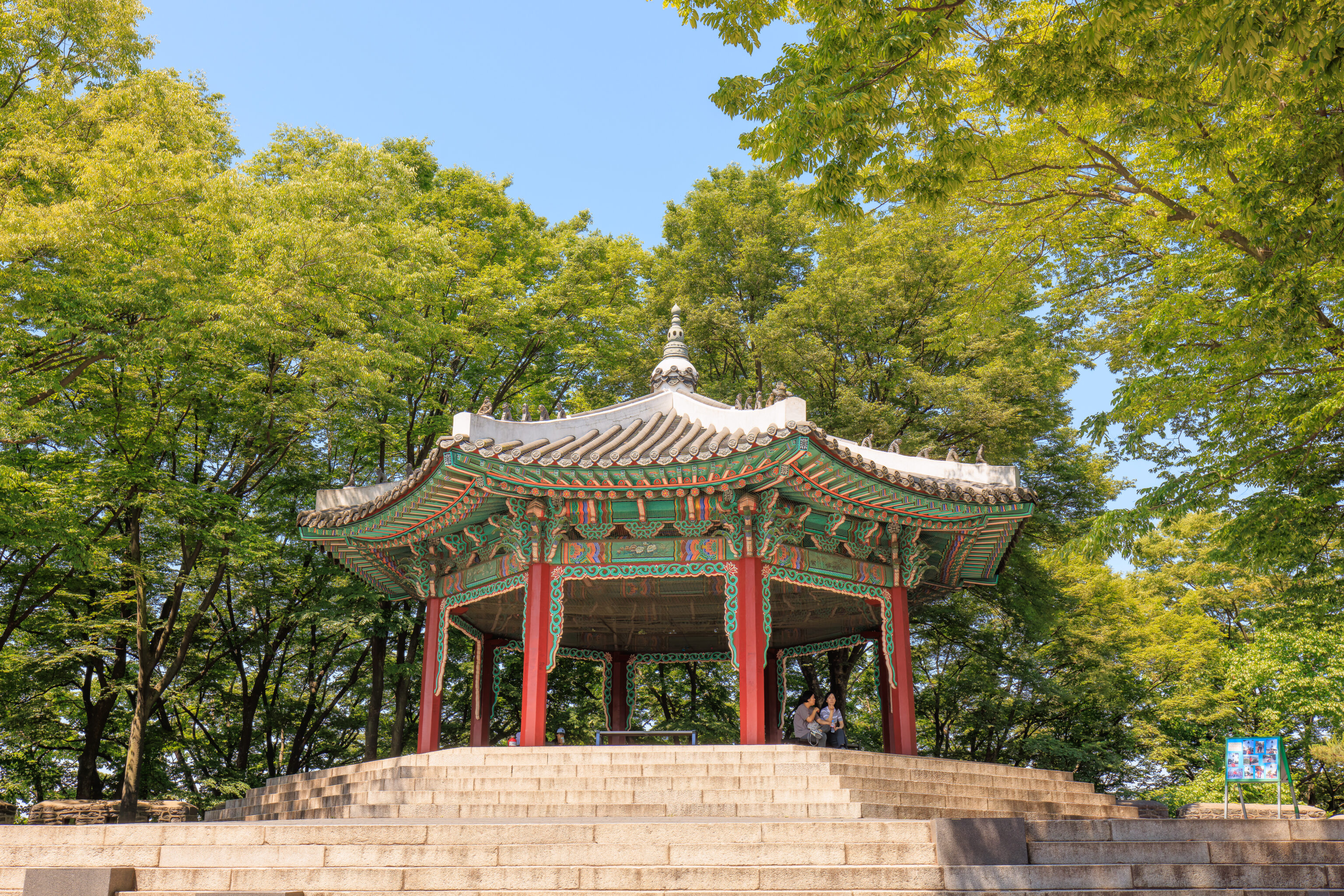
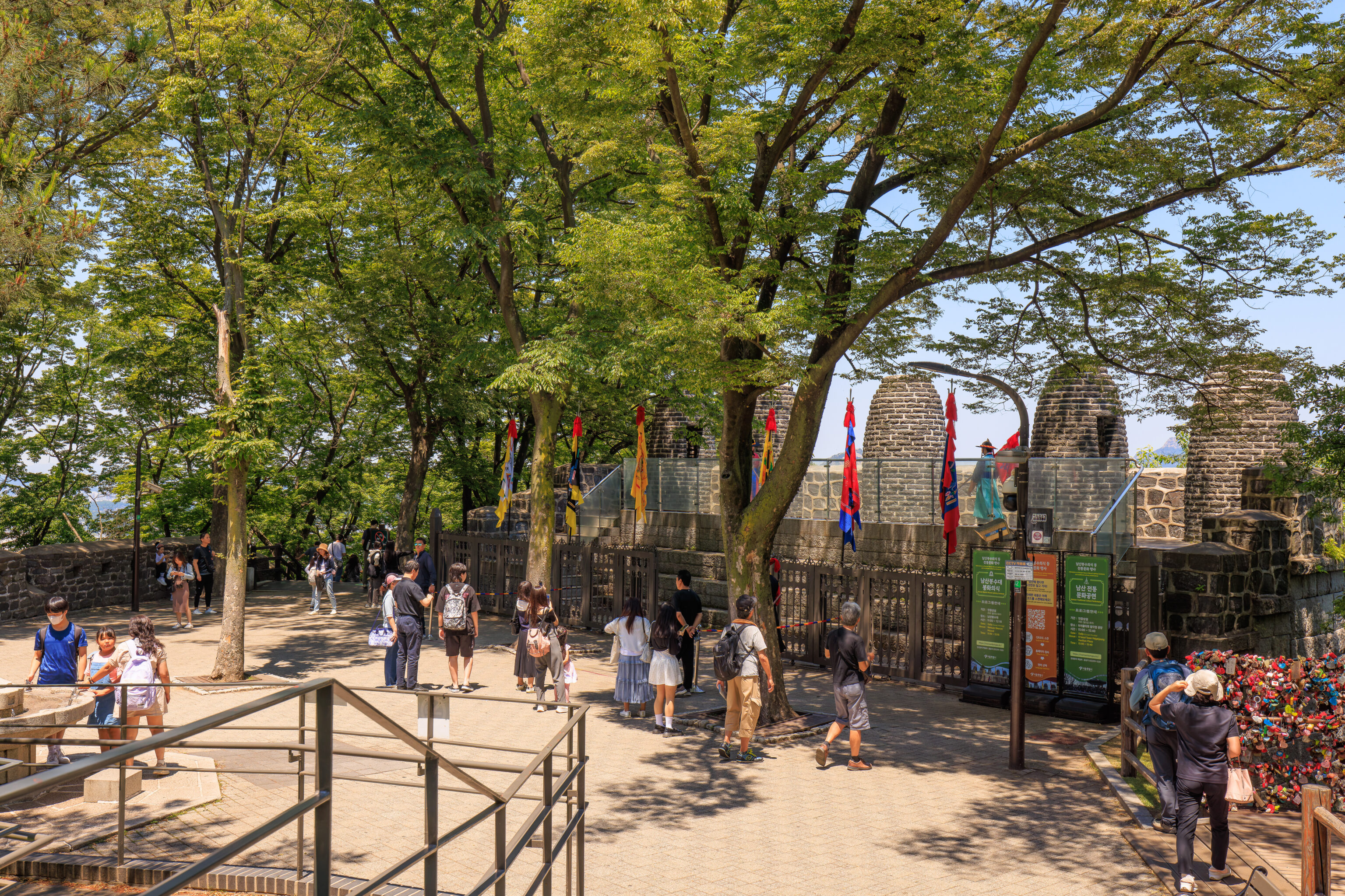
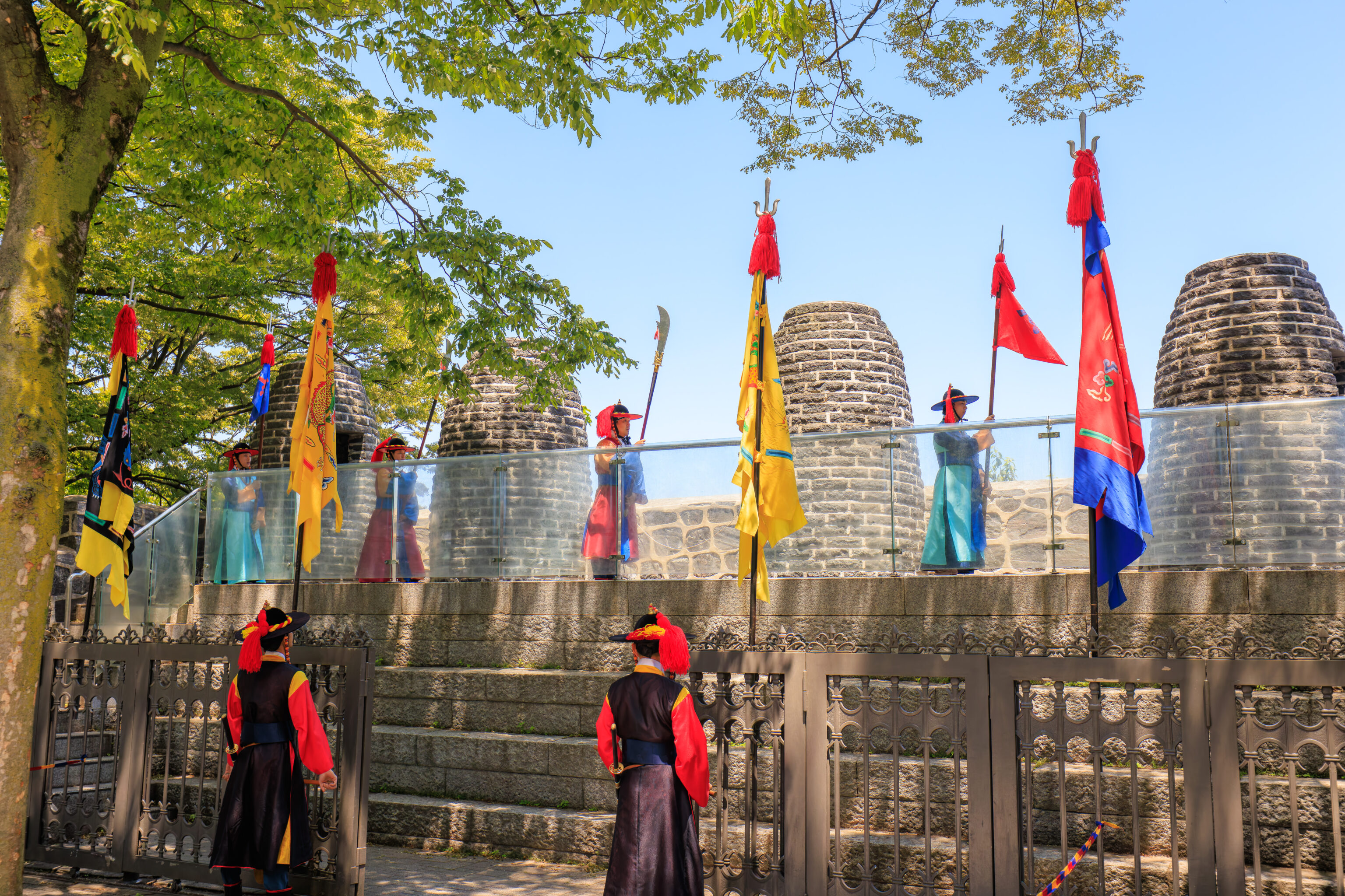
We decided to walk over to check out the beacon mound at around 10:45am. We passed by the 팔각정 Octagonal Pavilion on our way. We forgot to photograph this structure when we were here last week!
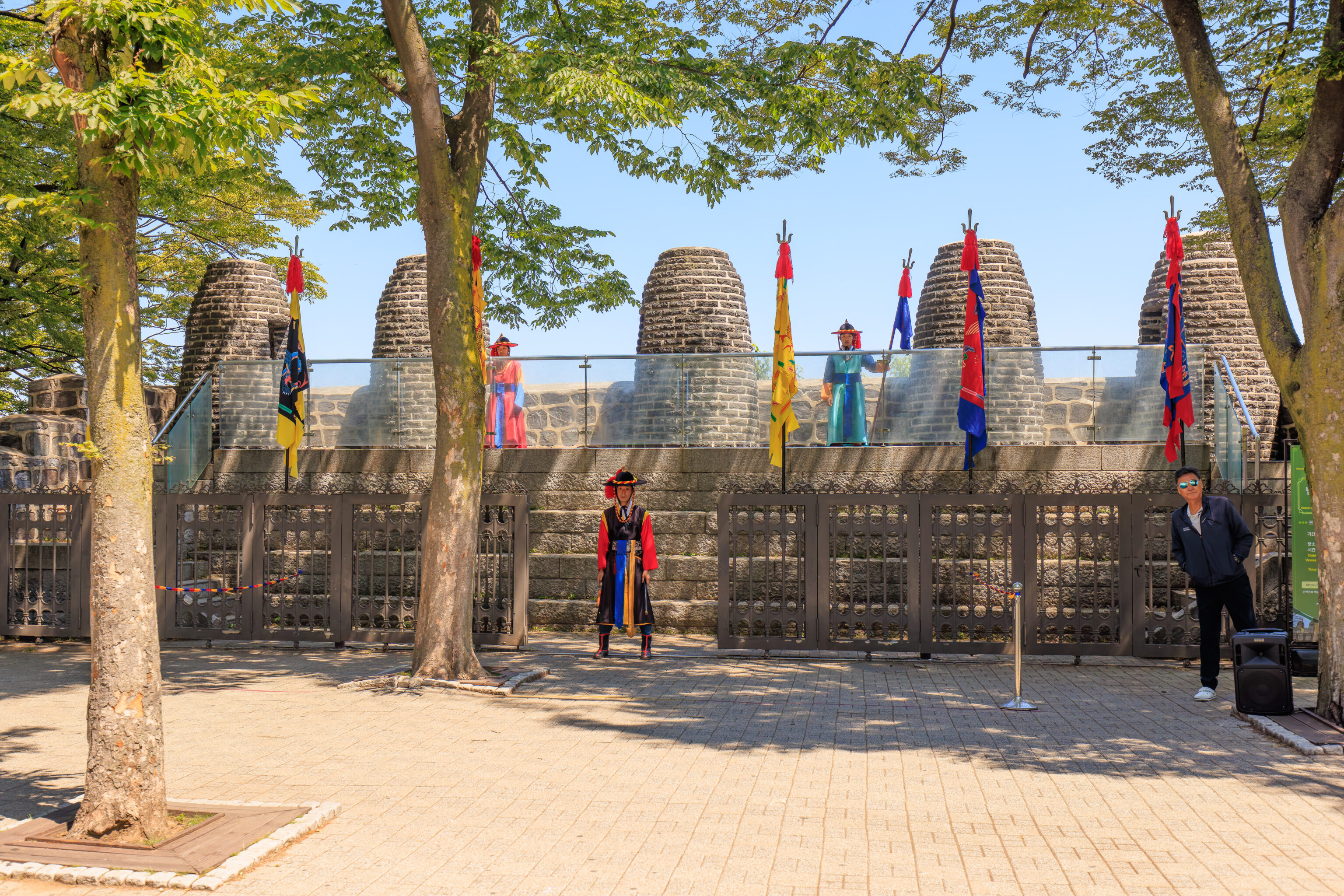
At around 11am, some guards showed up and, well, started guarding the beacon mound.
There was a bit of marching back and forth but other than that, nothing was happening.
It turns out that 11am is just when the guards show up. The actual lighting of the beacon mound doesn’t start until noon! We decided to head back to the plaza viewpoint, walking by a designated lock locking place on our way!
The sun was out and the sky was clear. We definitely wanted to stay in the shade as it was hot!
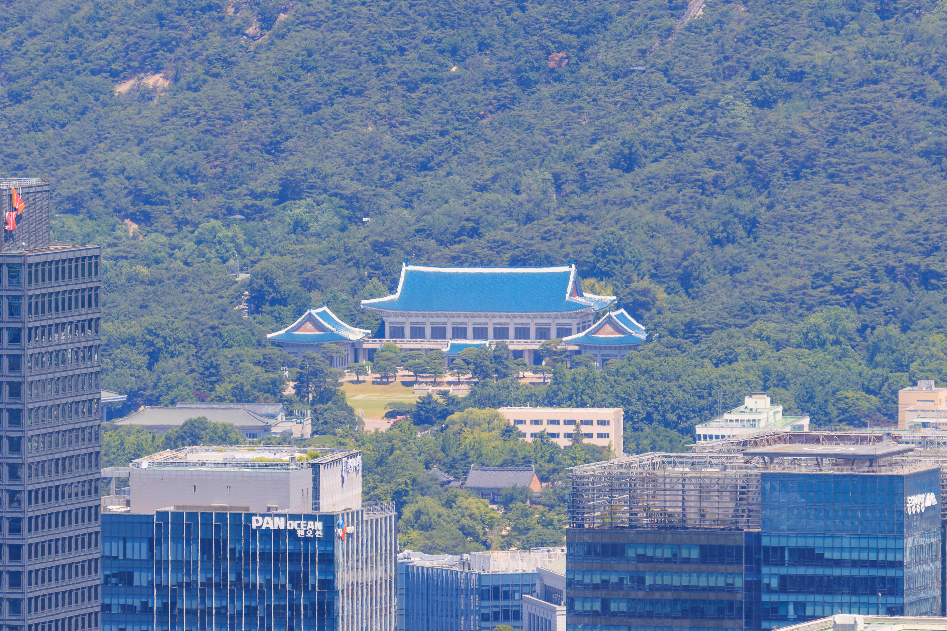
We decided to pull out the telephoto lens to take a look around. We quickly found the 청와대 Cheong Wa Dae (Blue House), the former presidential residence that we visited on our first full day. This large building is the Main Office.
This smaller L shaped building at the Cheong Wa Dae is the actual former presidential residence.
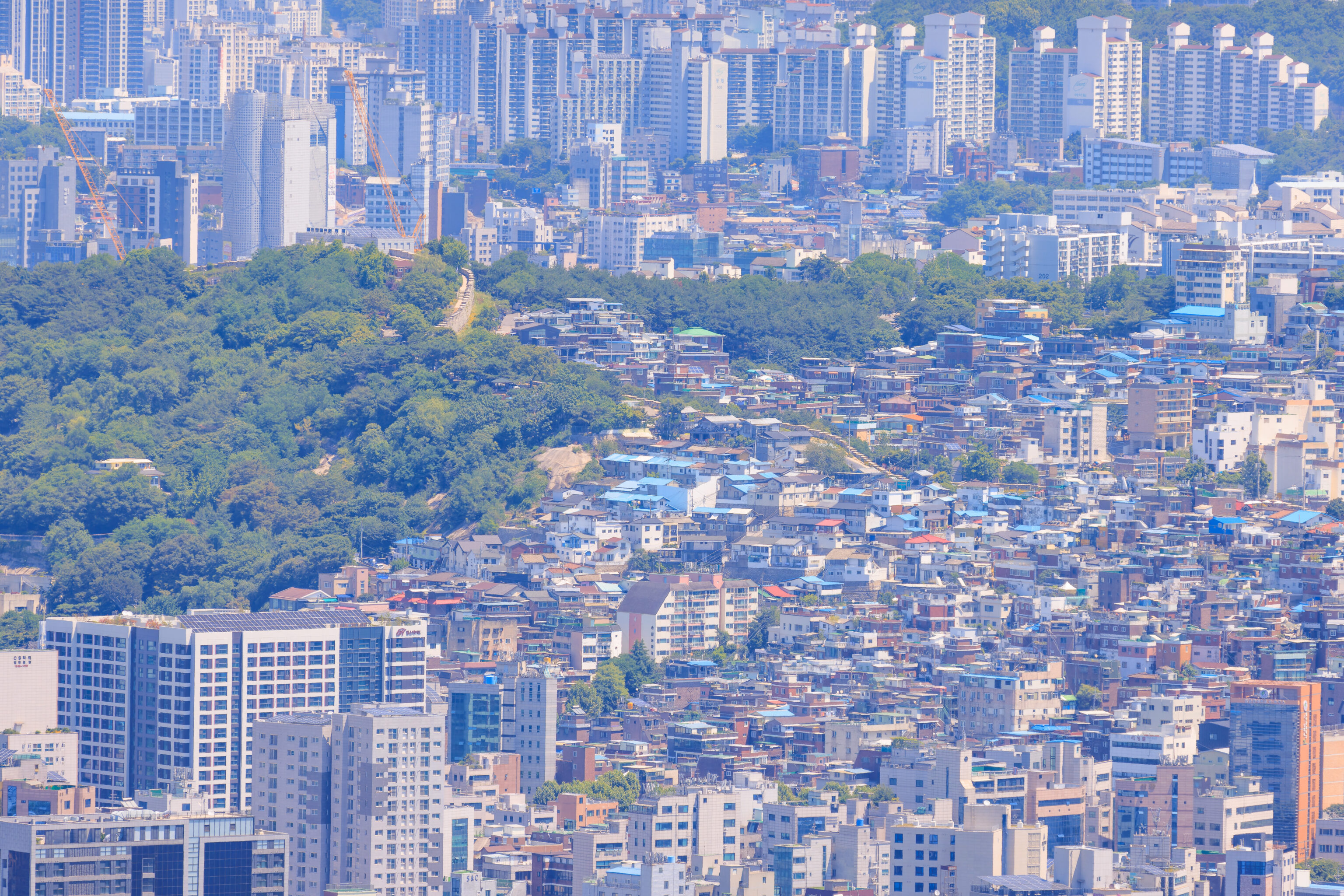
Looking to the right, or east,, we found parts of the city wall atop 낙산 Naksan, which we visited on the 3rd day of this trip. Some of the cafes that we walked by are recognizable from this perspective.
Looking further to the right, we can see the lower elevations of Naksan along with the city wall.
And, looking even further to the right, we can see the yellow flowers of the park at the base of Naksan.
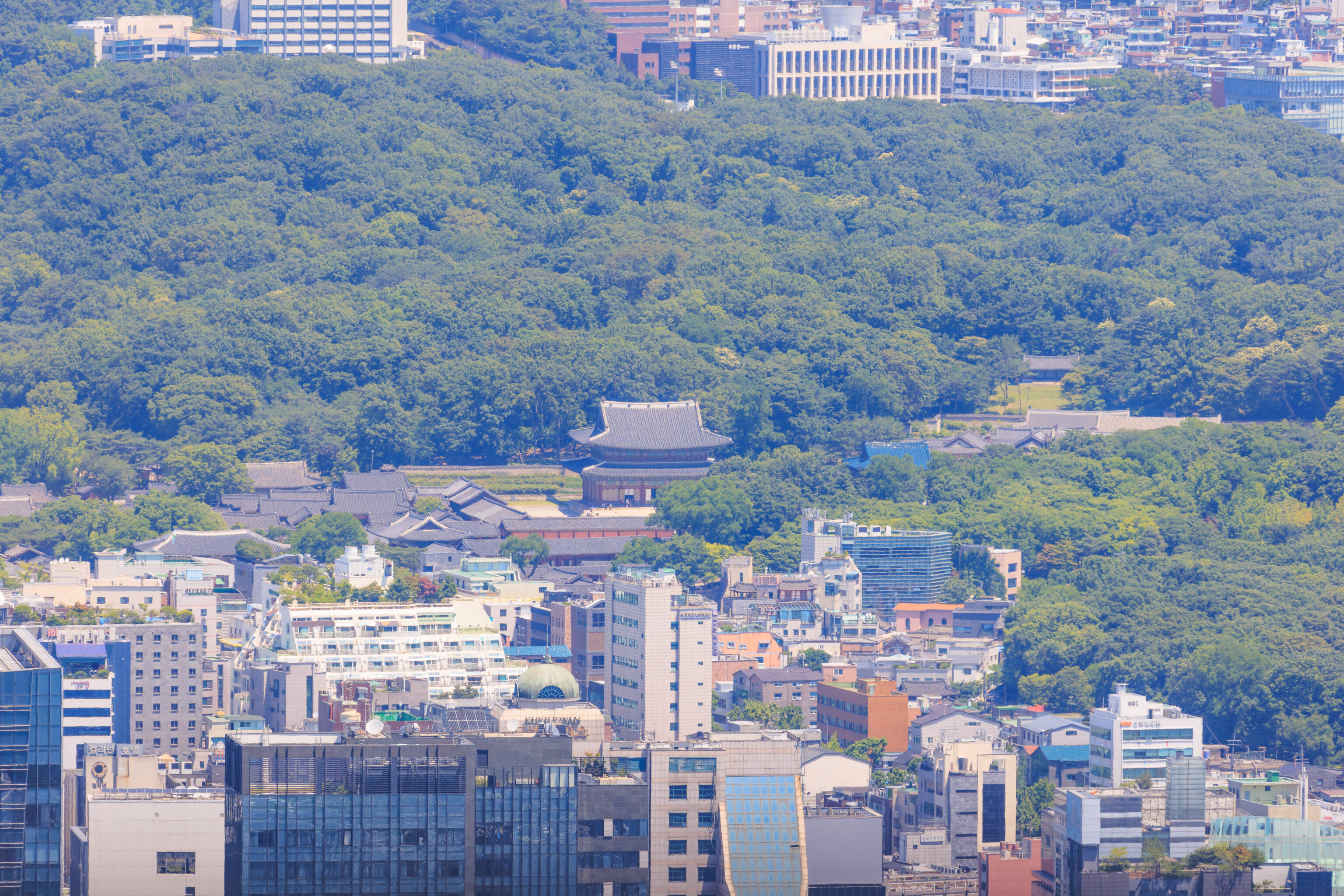
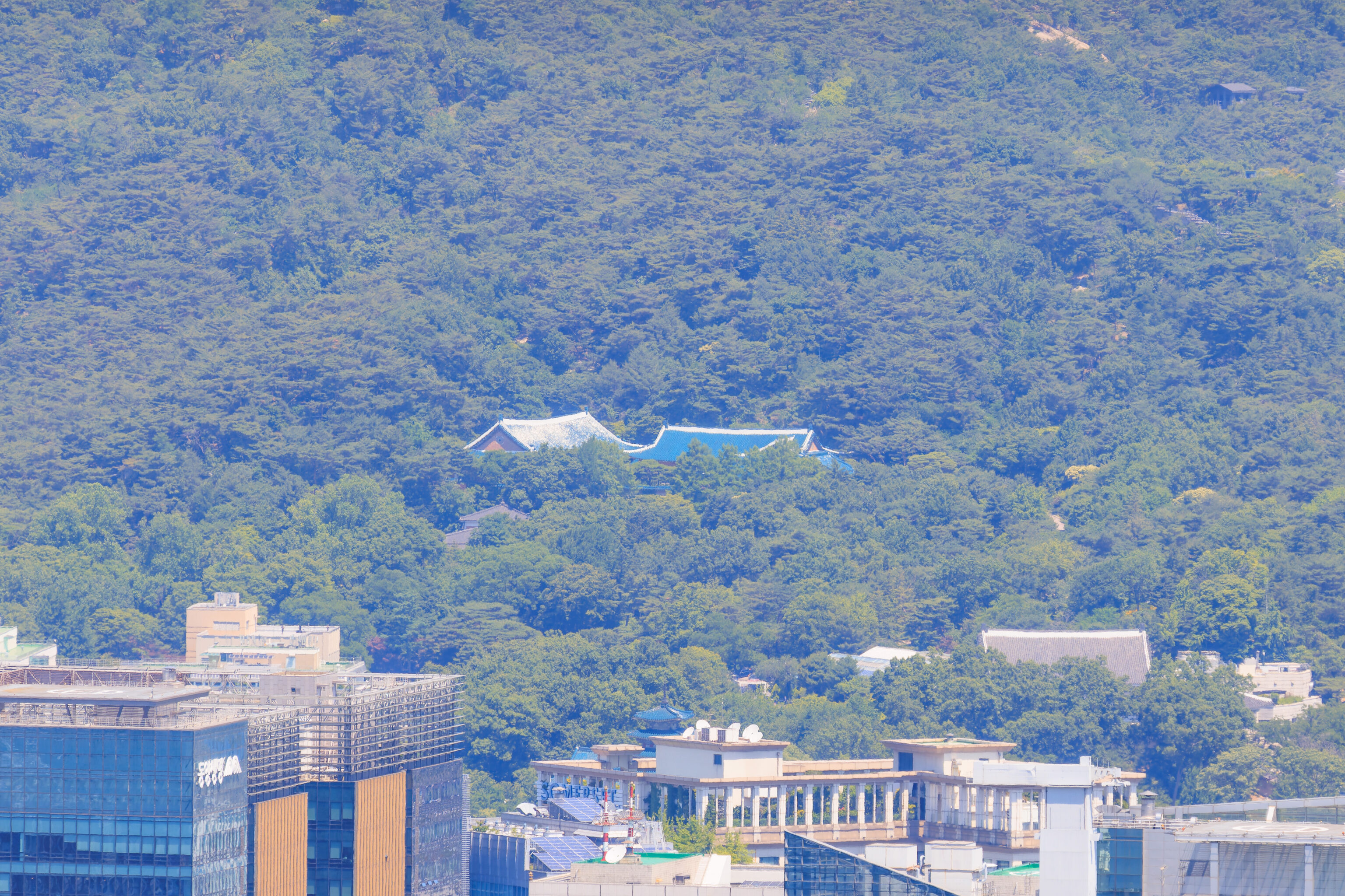
Between Naksan and the Cheong Wa Dae, we can see the 인정전 Injeongjeon, the large main hall of the 창덕궁 Changdeokgung, the palace that we visited on the 30th. The trick to identifying this palace is recalling that there is a smaller blue roofed building, the 선정전 Seonjeongjeon, next to the Injeongjeon!
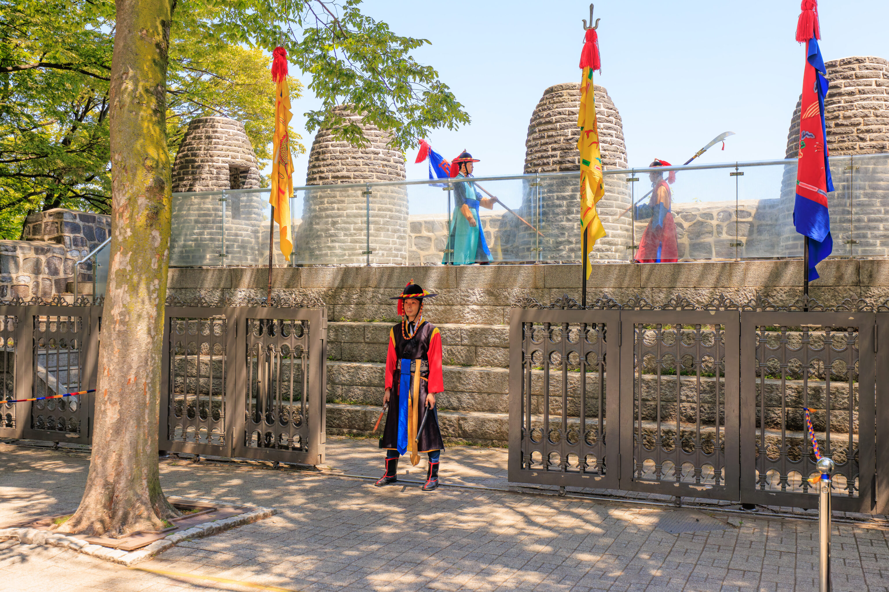
After awhile, it was 11:50am, almost time to return to the beacon mound. It was still very busy at the plaza’s viewpoint.
There wasn’t much activity at the beacon mound, just a few people looking at the marching back and forth.
We went closer as the ceremony resumed, or rather, got started.
The first part of the ceremony was photo time…
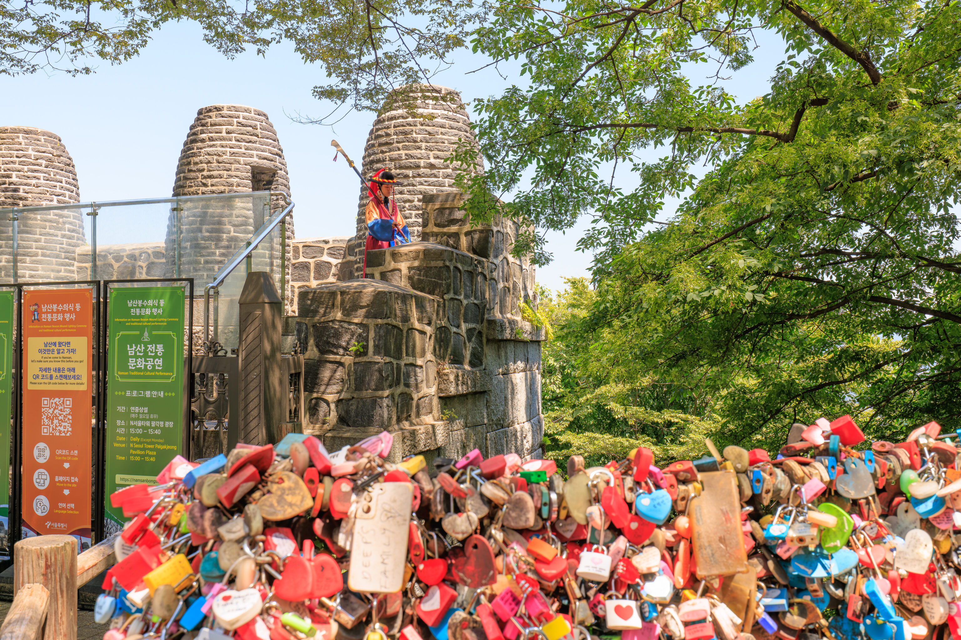
Finally, some actual activity! The two officers connect their USB drives to transfer some data. Wait, that’s probably not what’s going on. They’re probably authenticating each other’s identity by comparing something. It would be interesting to know how this works in the days before modern technology.
So, it turns out we picked the exact wrong place to stand! A flag is blocking the guard that lights the beacon fire!
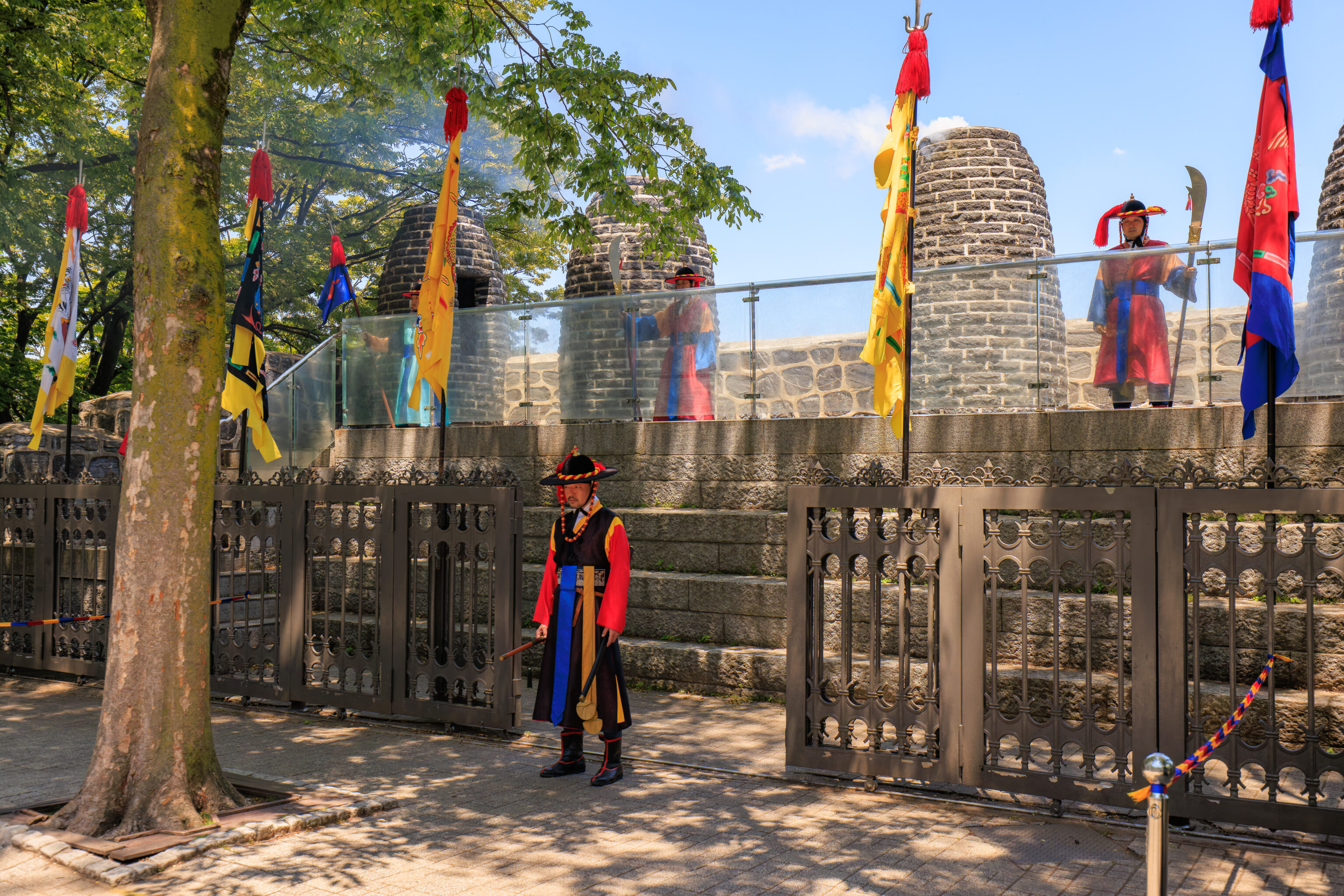
A few puffs of white smoke is about all that we saw.
And then, it was over. The Traditional Cultural Performance, which we saw when we were last here, was much more worthwhile.
We headed back down to the bus stop right after the ceremony ended.
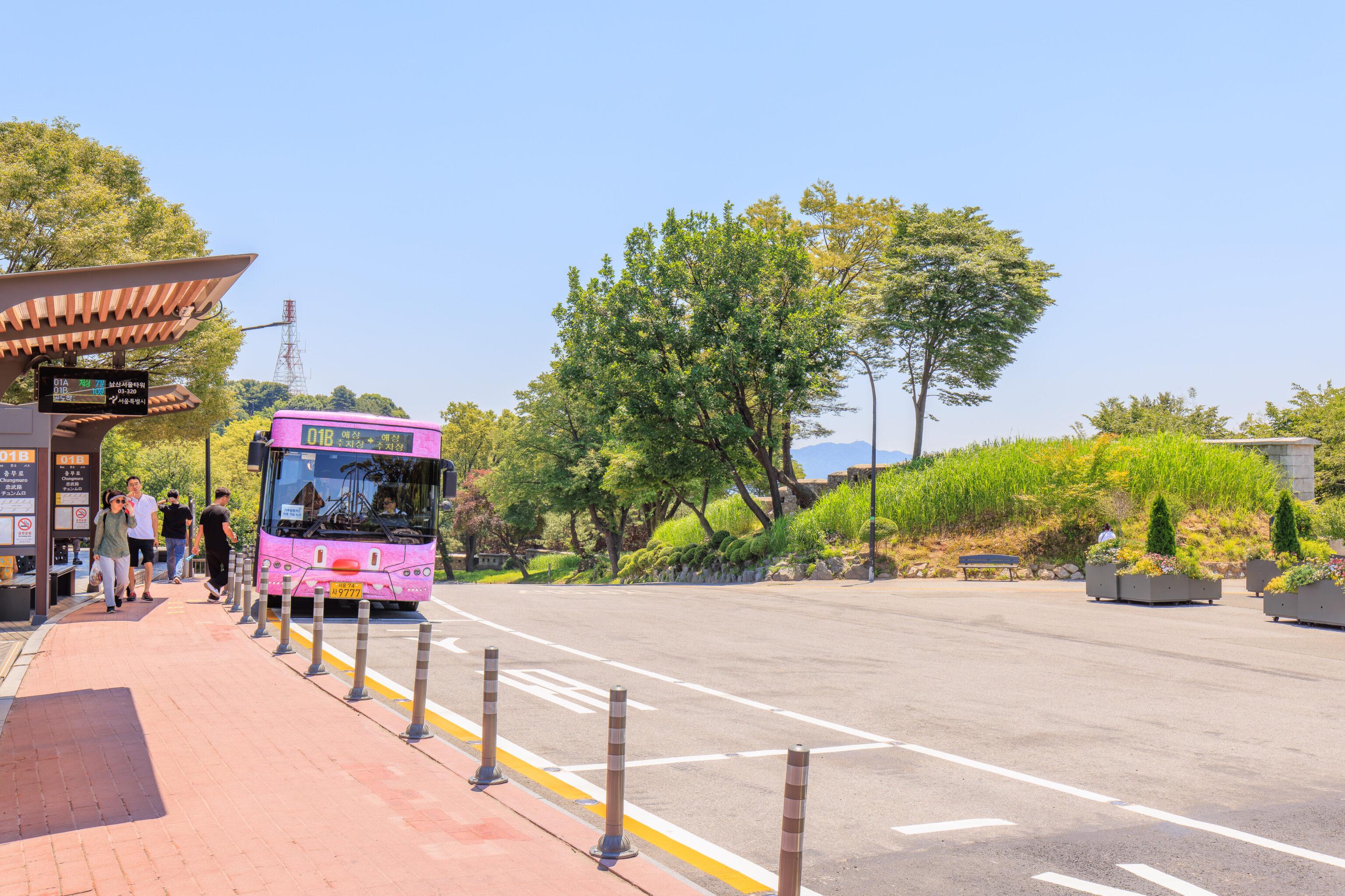
Time for one last trip on a pink Hechi bus!
Myeongdong
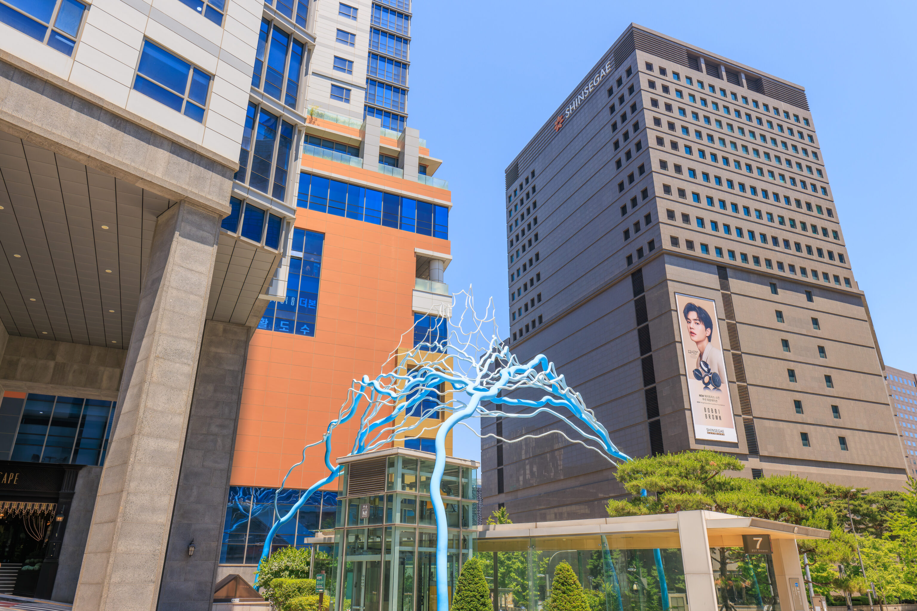
After taking the bus down from Namsan, we went to Myeongdong for lunch. We passed by this blue sculpture as we walked to the east after getting off of the bus.
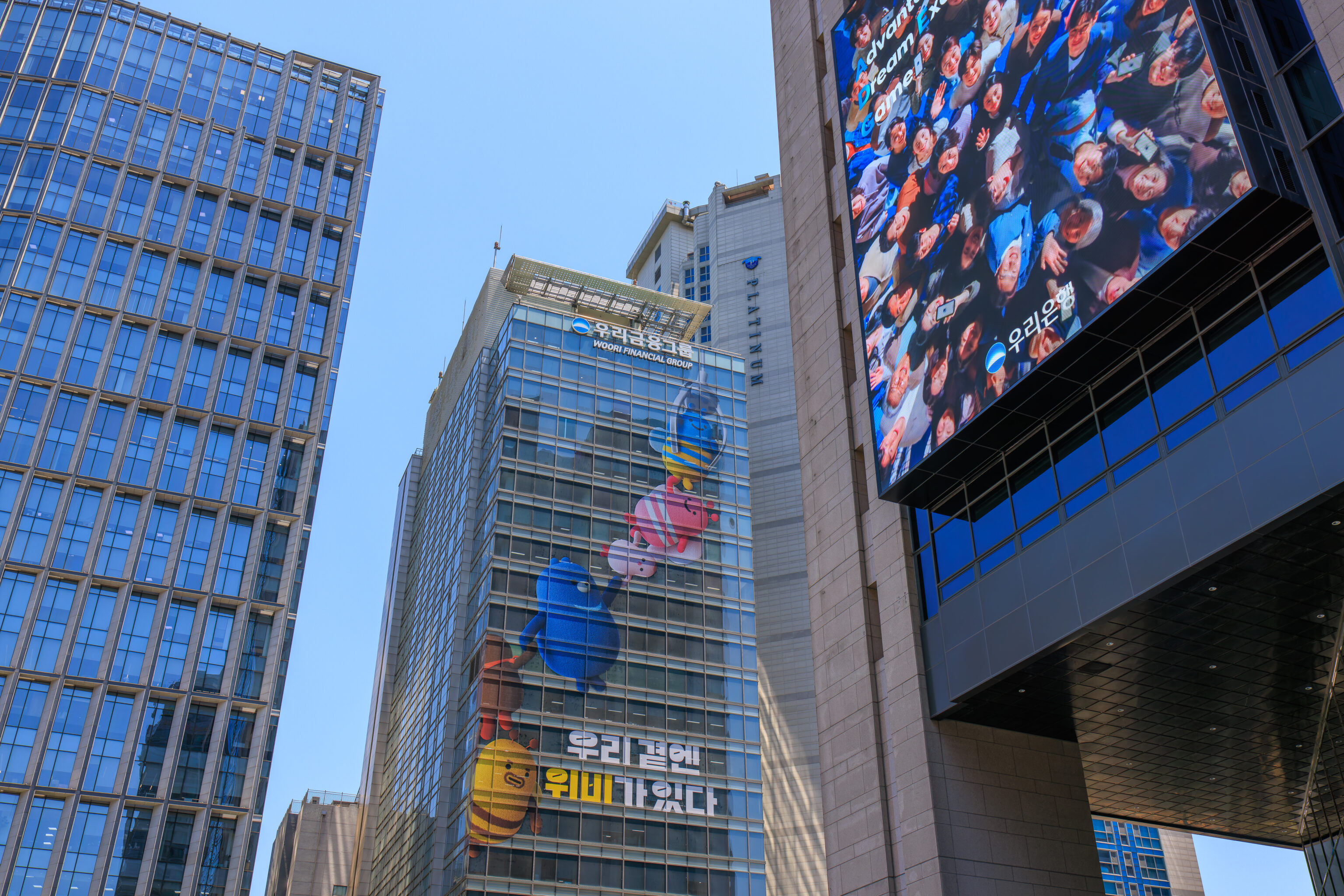
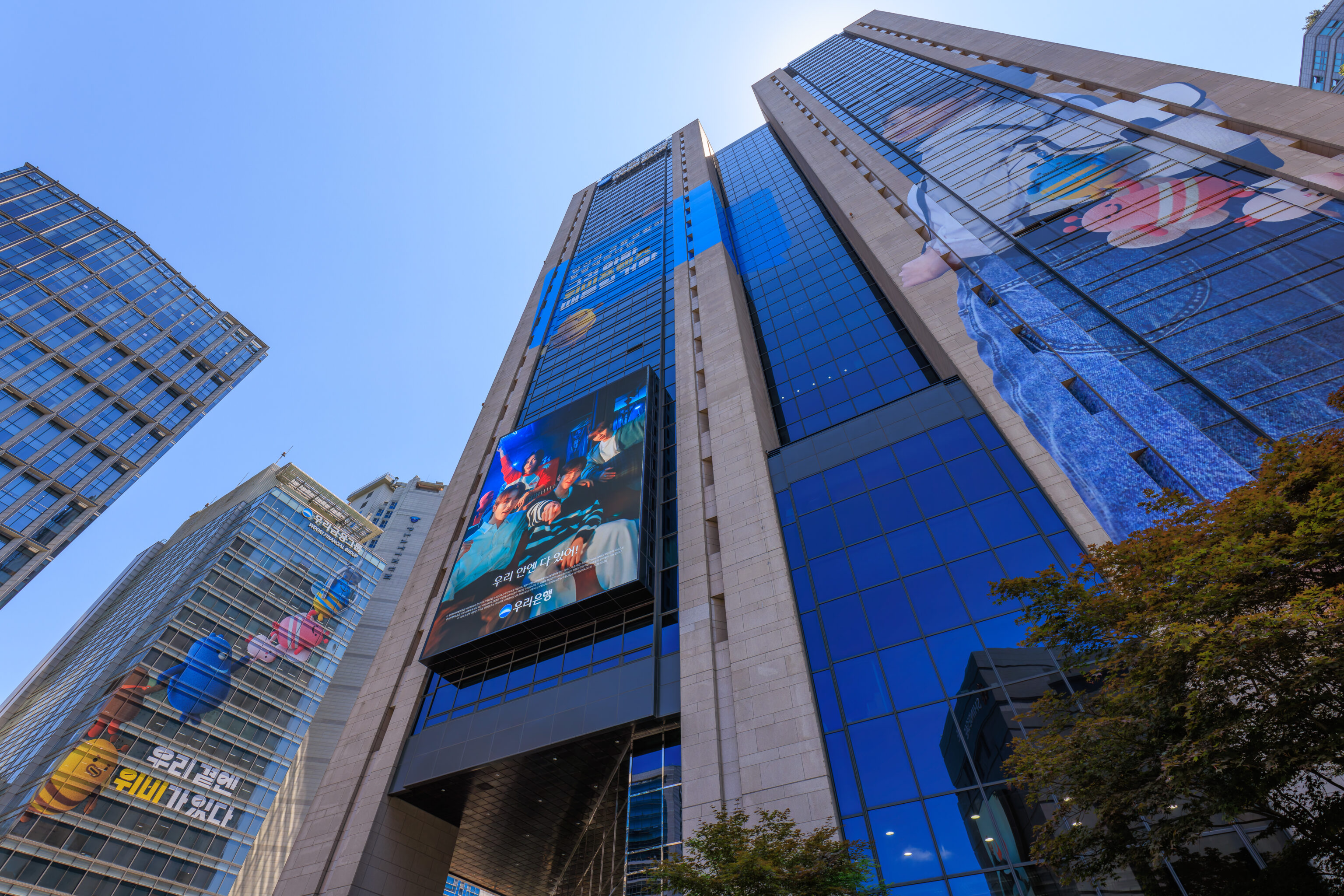
We saw Hechi and the Soul Friends on the side of two buildings as we continued walking to the east.
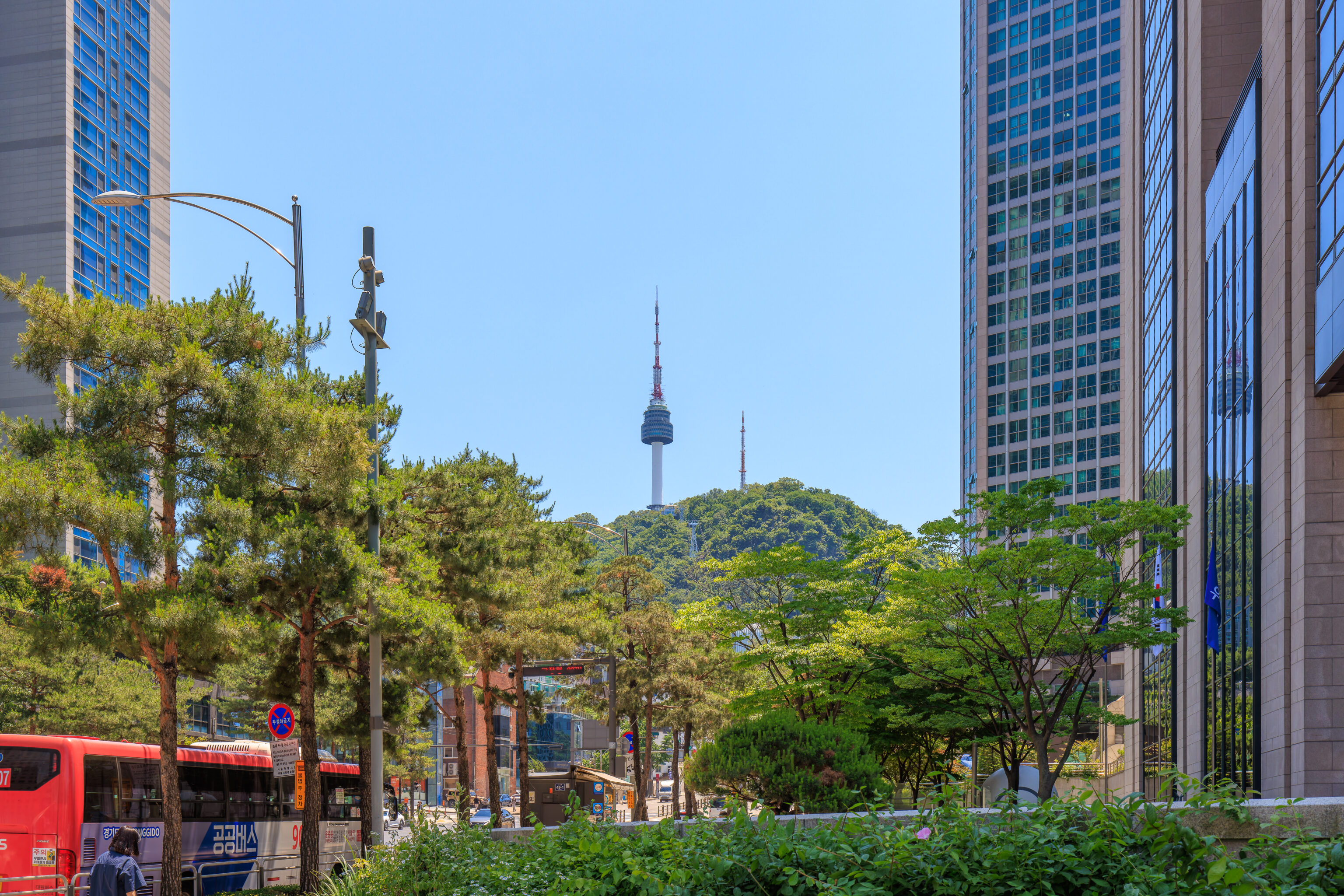
We saw the N Seoul Tower to the south as we approached Myeongdong.
We decided to have lunch at 오다리집 Odarijip, a restaurant that specializes in soy sauce marinated crabs. This restaurant was rather hard to find. It is located in the 사보이호텔 Savoy Hotel but the exact location within the hotel seems to have changed over time.
The restaurant has various courses that include their signature crab. We opted to get the two person course that didn’t include other types of meat as we were here for crab!
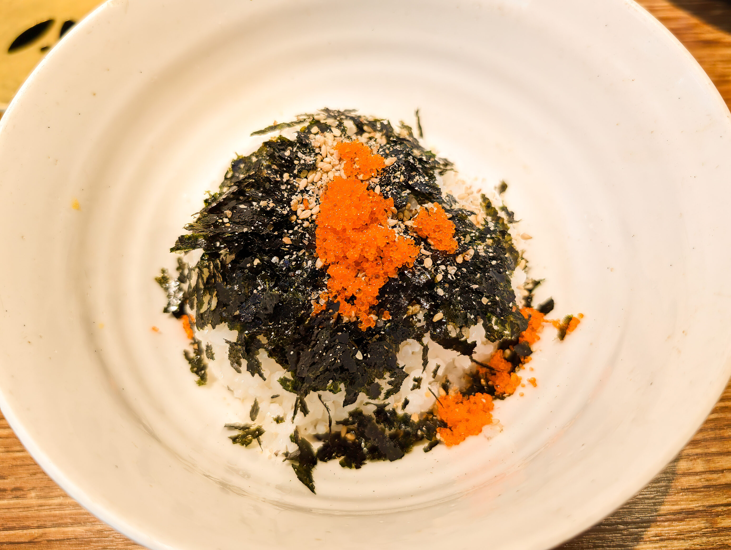
The rice came with nori and roe atop.
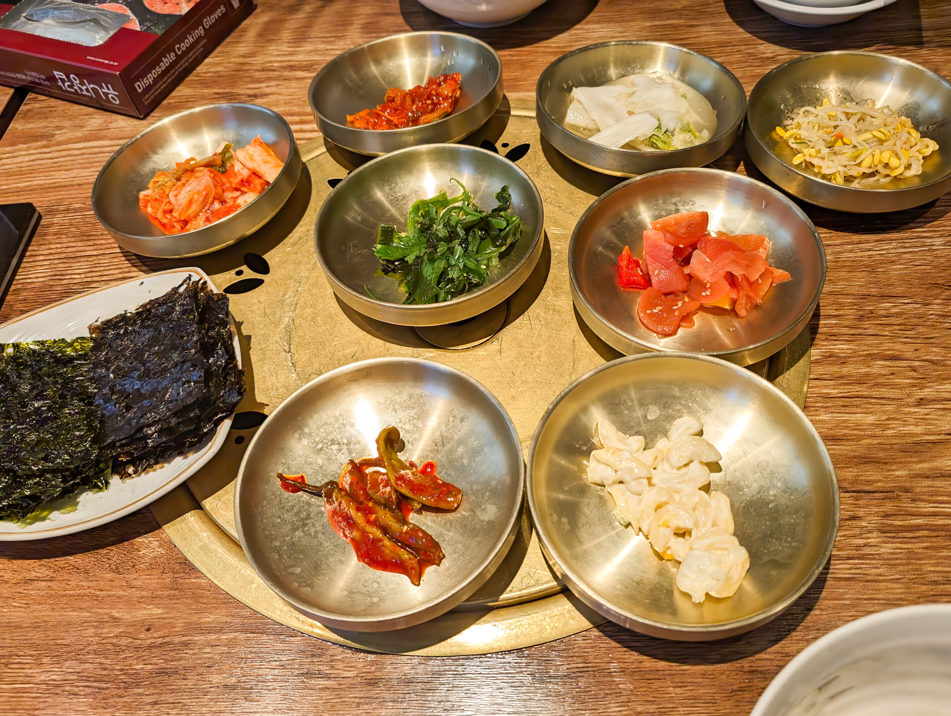
Various banchan were provided.
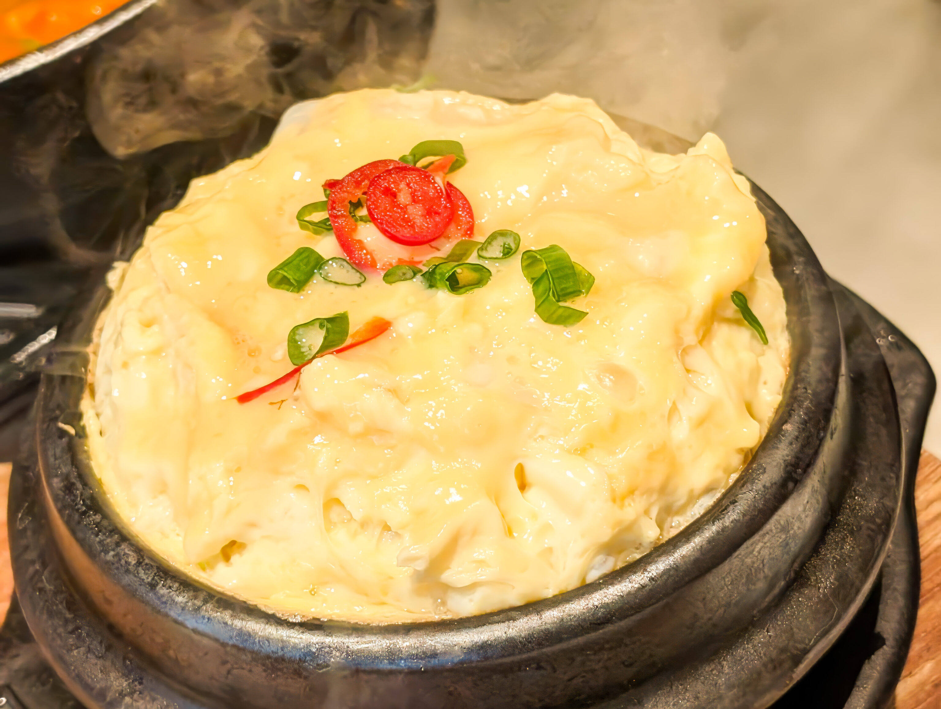
The course included steamed egg.
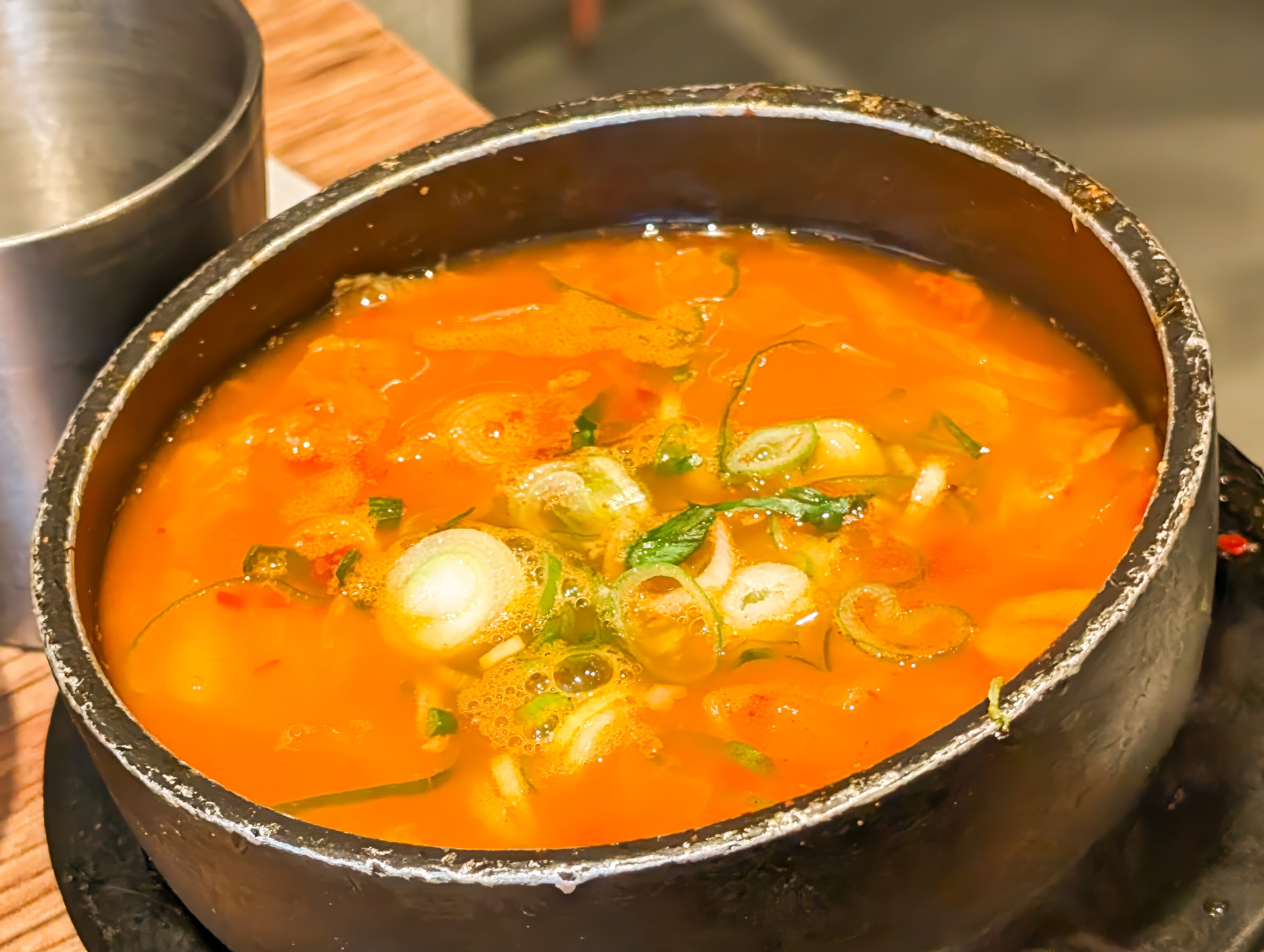
The course also included soybean paste stew.
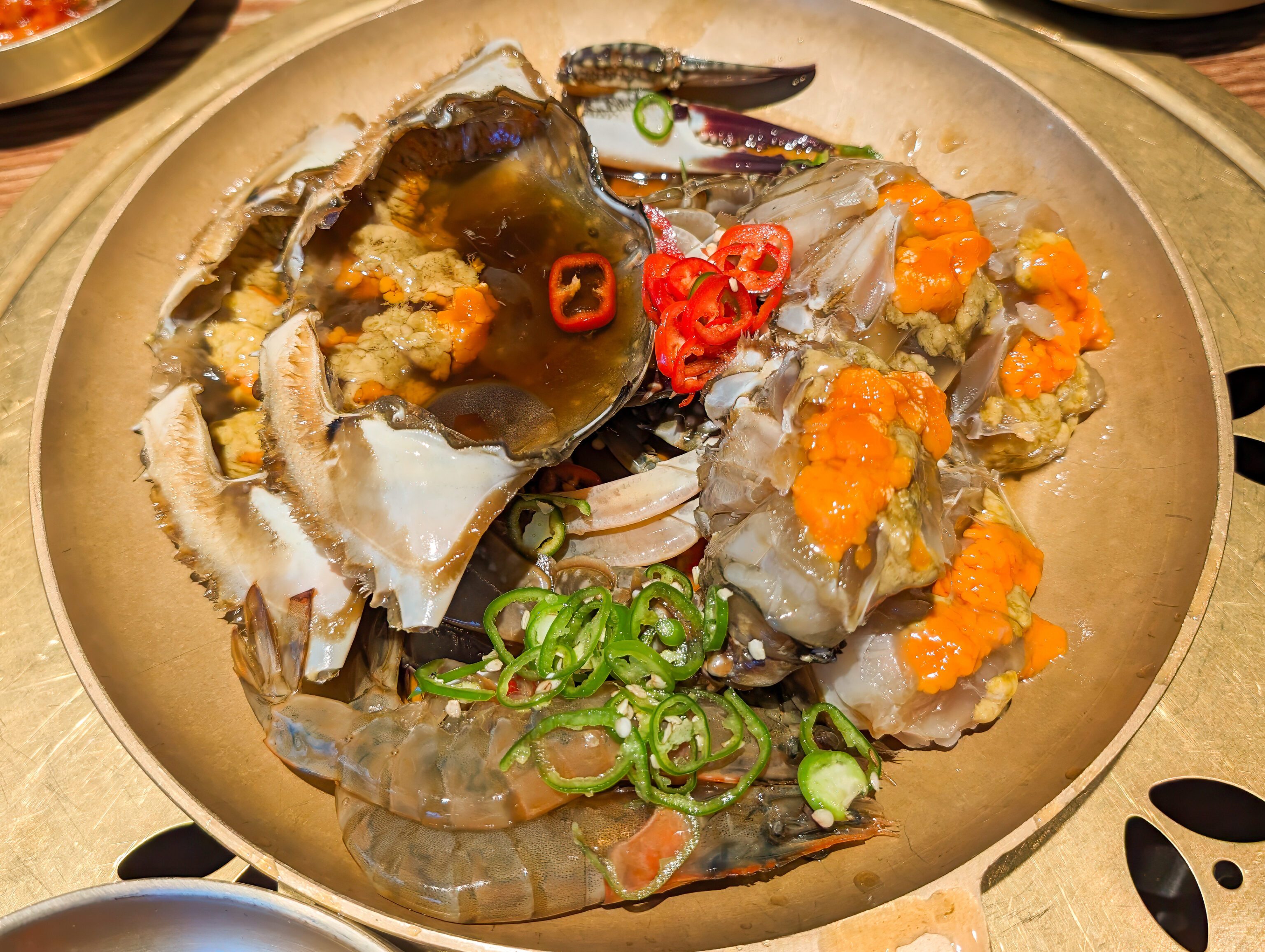
The crabs are served raw, in addition to two shrimps. The crabs were similar to the blue crabs we have in Maryland. It was very good!
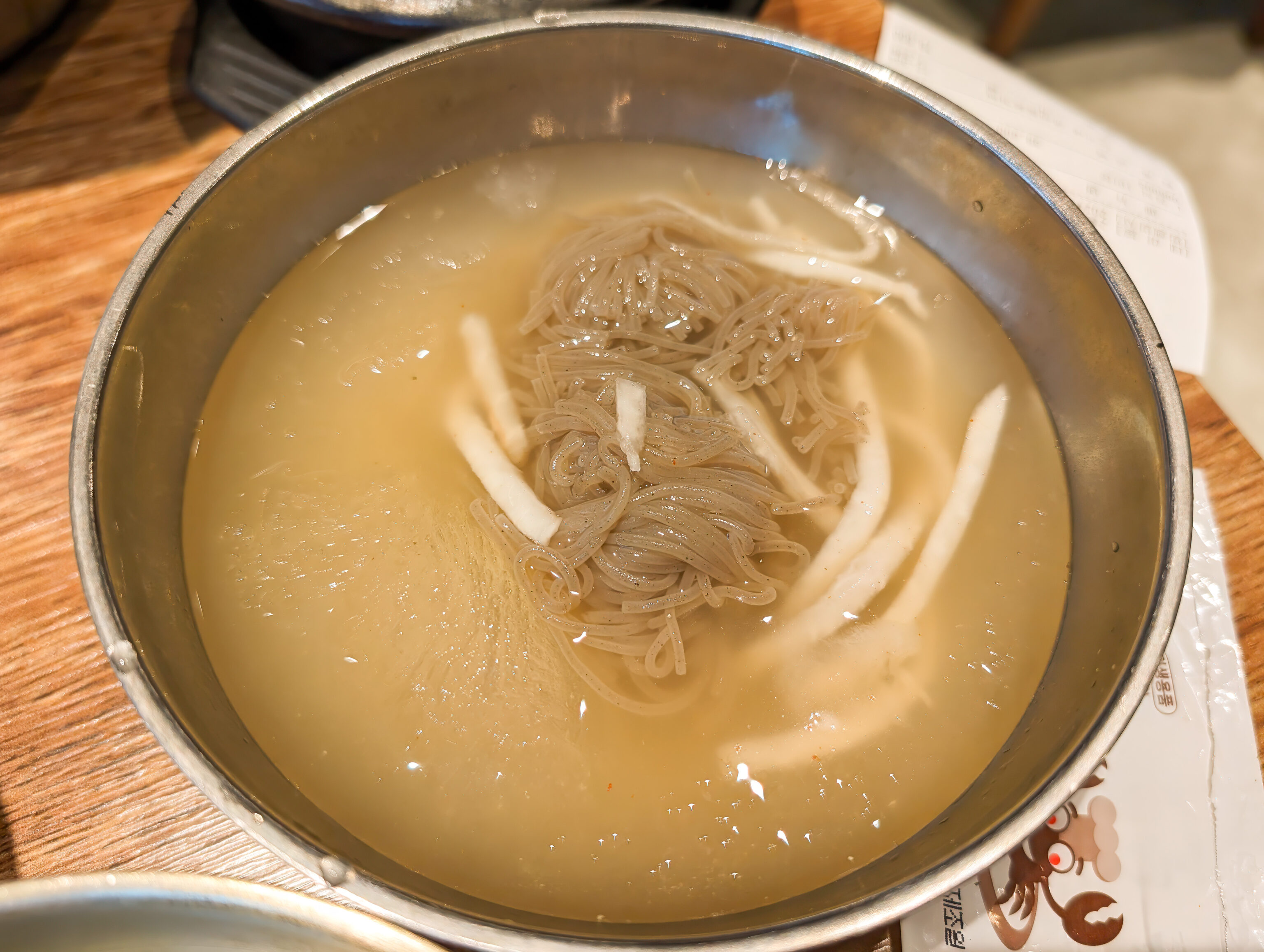
The course also included some cold buckwheat noodles.
After lunch, we walked north through Myeongdong to head to a bus stop. On our way, we decided to get bingsoo. We visited 포엠 Poem, a cafe with a wide variety of bingsoo and other desserts.
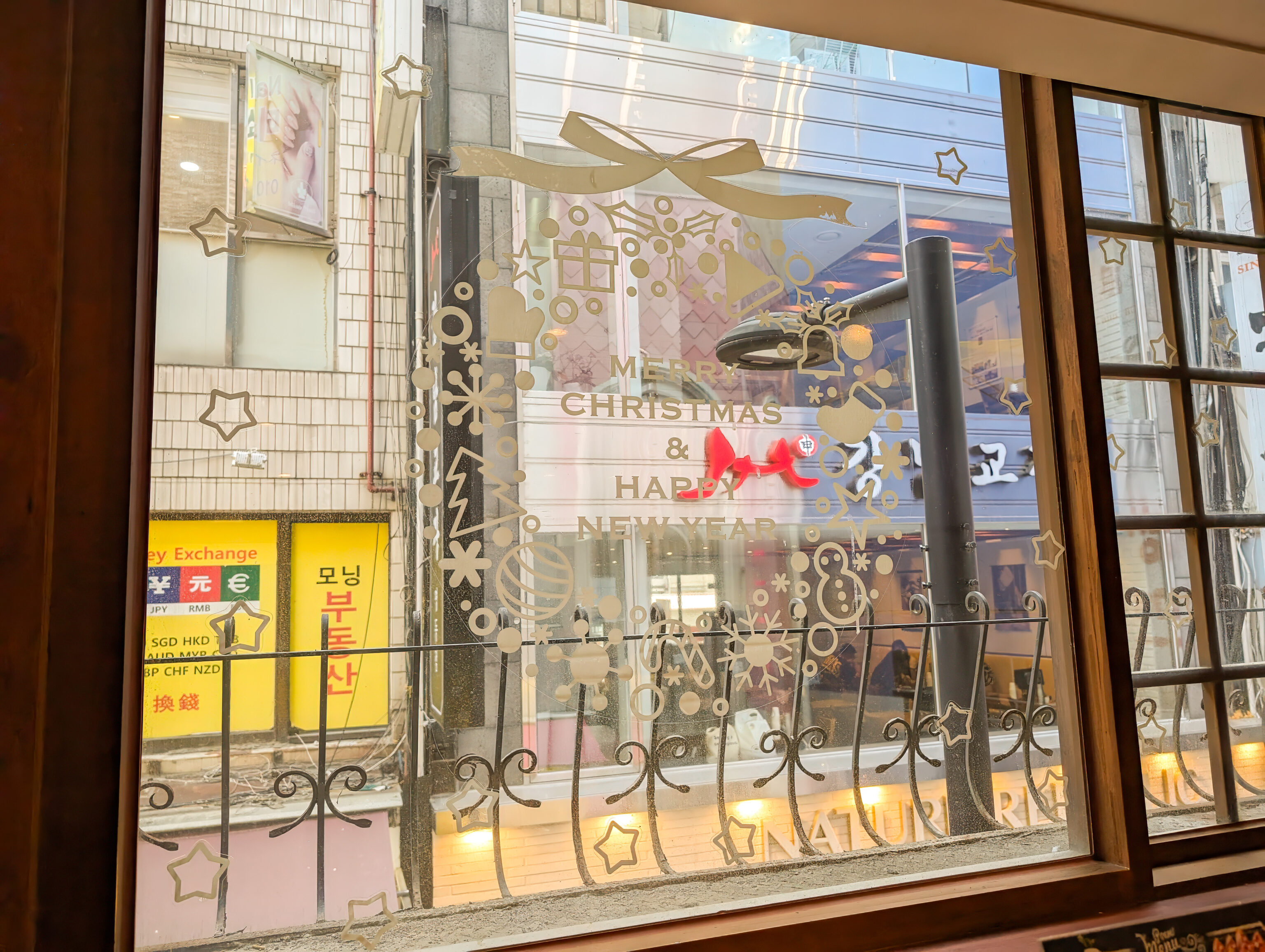
We got a table by a window which still had decorations for Christmas and the New Year. The interior of the cafe was interesting, particularly as they managed to put a small two floor seating area into what was an effectively one floor space.
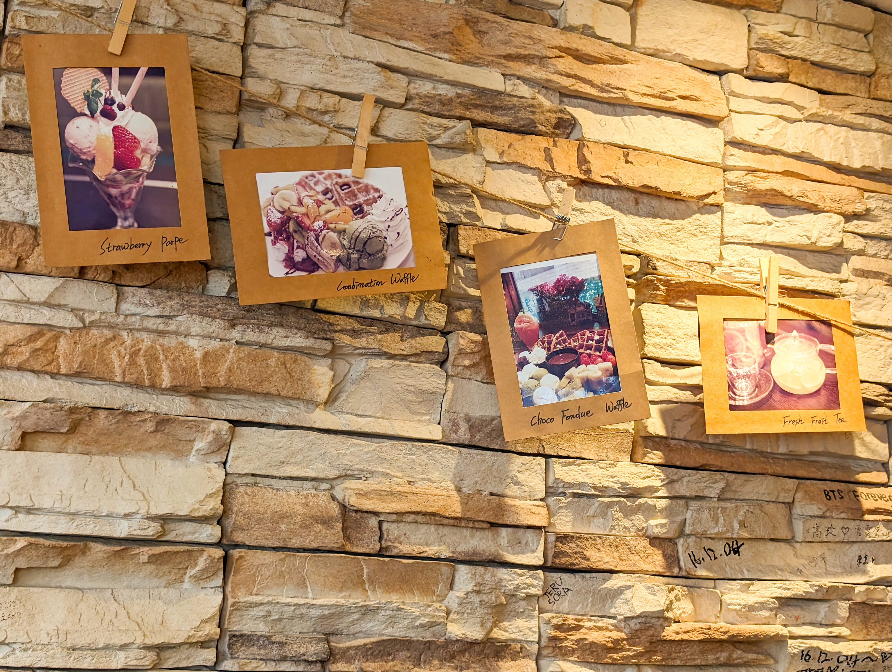
There were some food photos hanging on the wall.
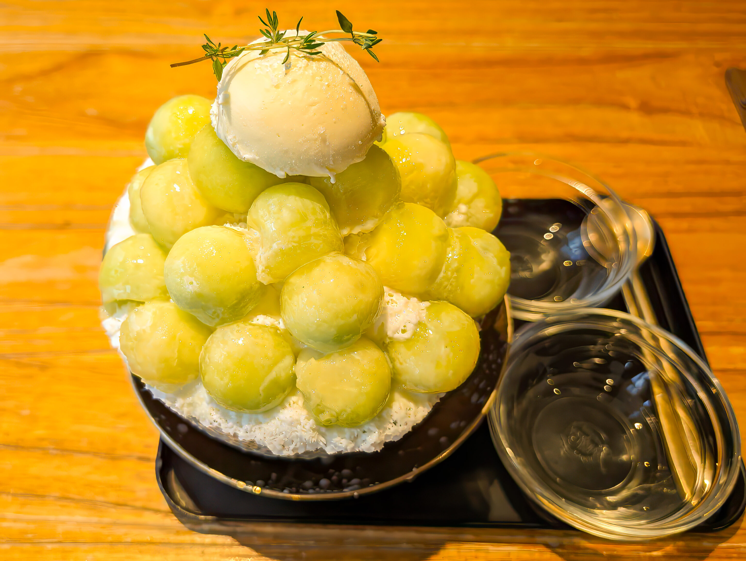
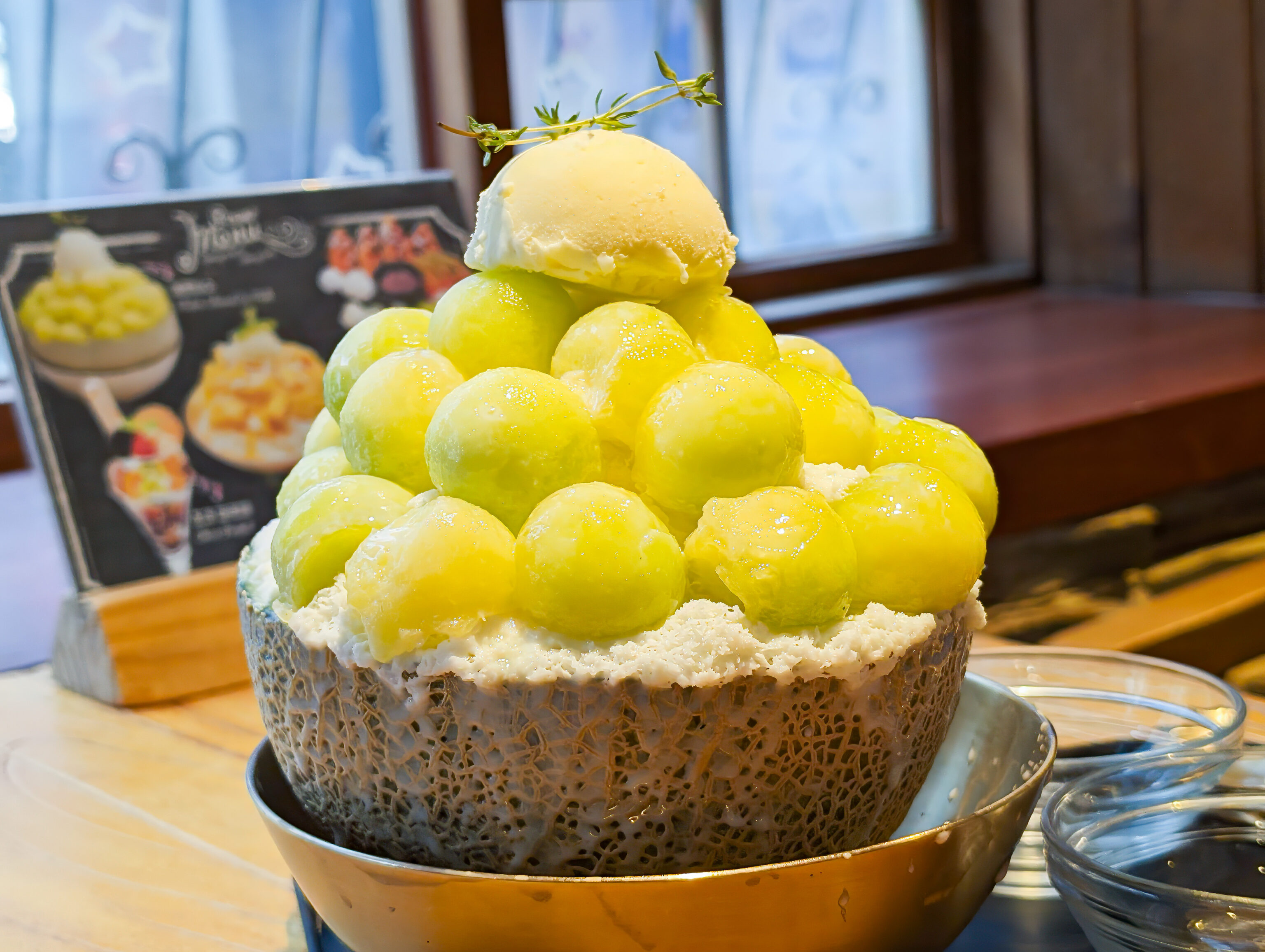
We ordered the melon flavor as melon was available fresh and is in season. The ice is milk ice. It was definitely the best ice we’ve had so far!
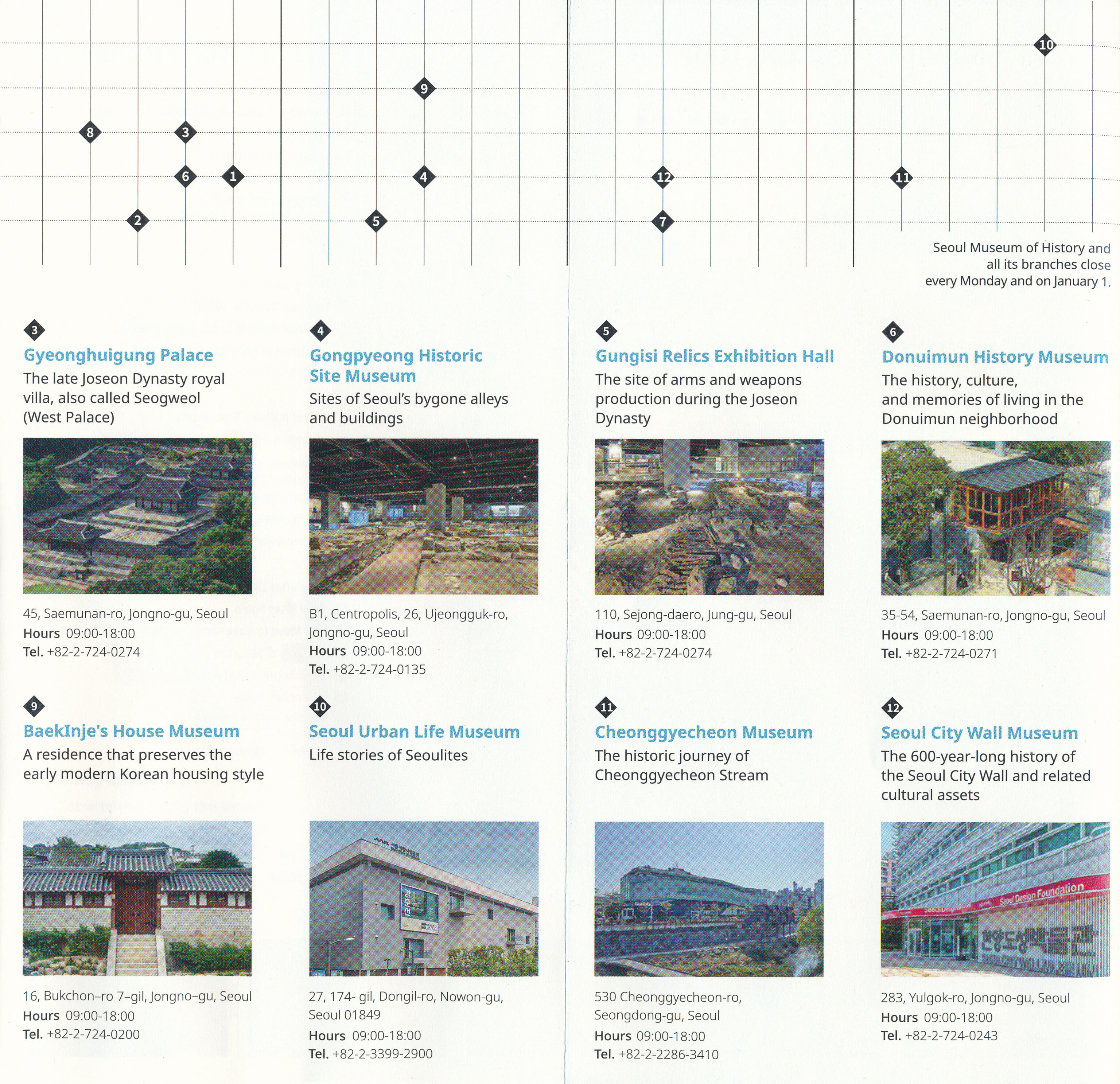
Gyeonghuigung
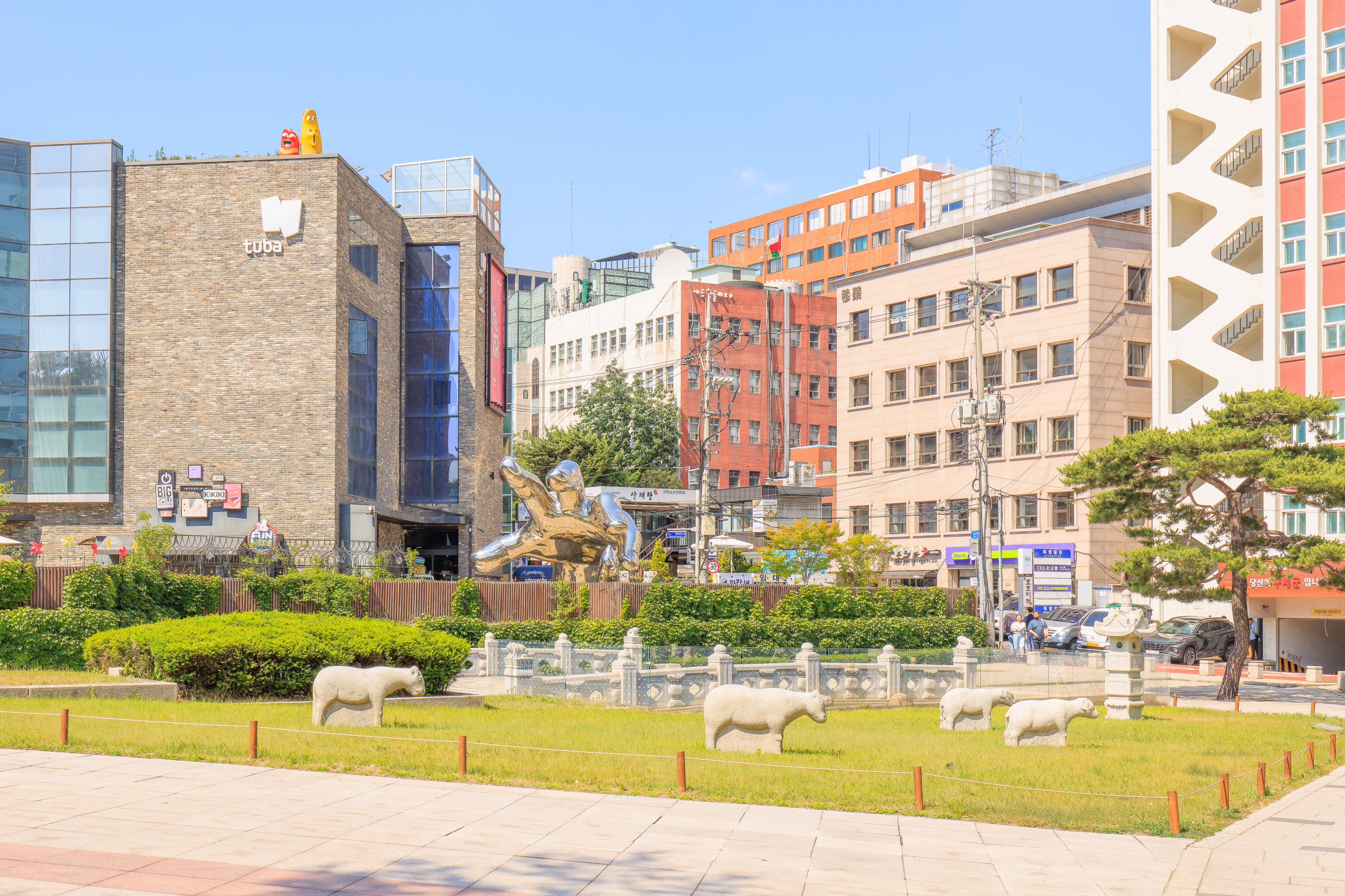
We took the bus to the Seoul Museum of History bus stop, which is next to the 경희궁 Gyeonghuigung. When we got off the bus, we noticed a number of stone sheep in a small field. Along with a giant hand in the background.
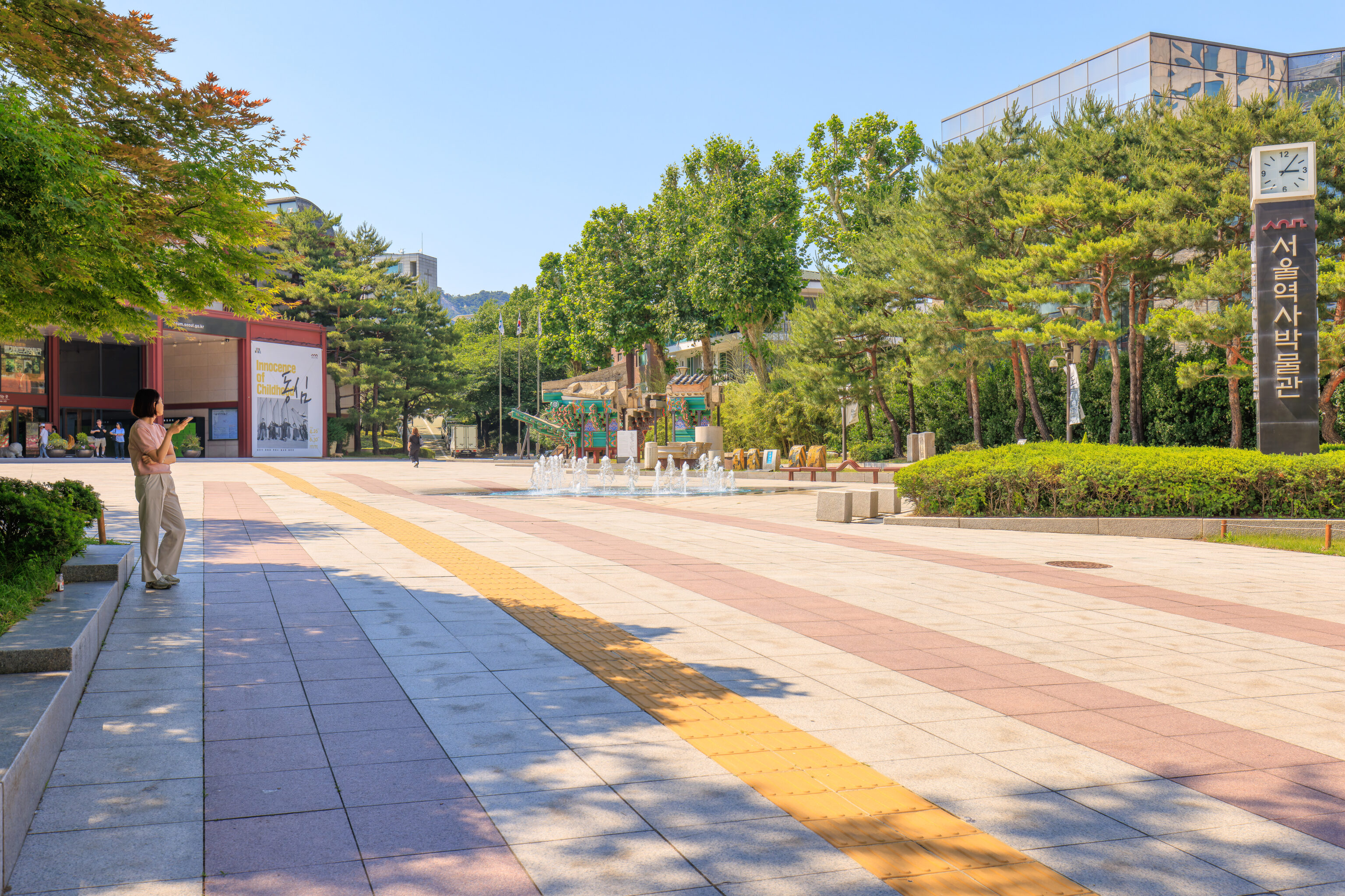
There was a fountain by the entrance to the 서울역사박물관 Seoul Museum of History.
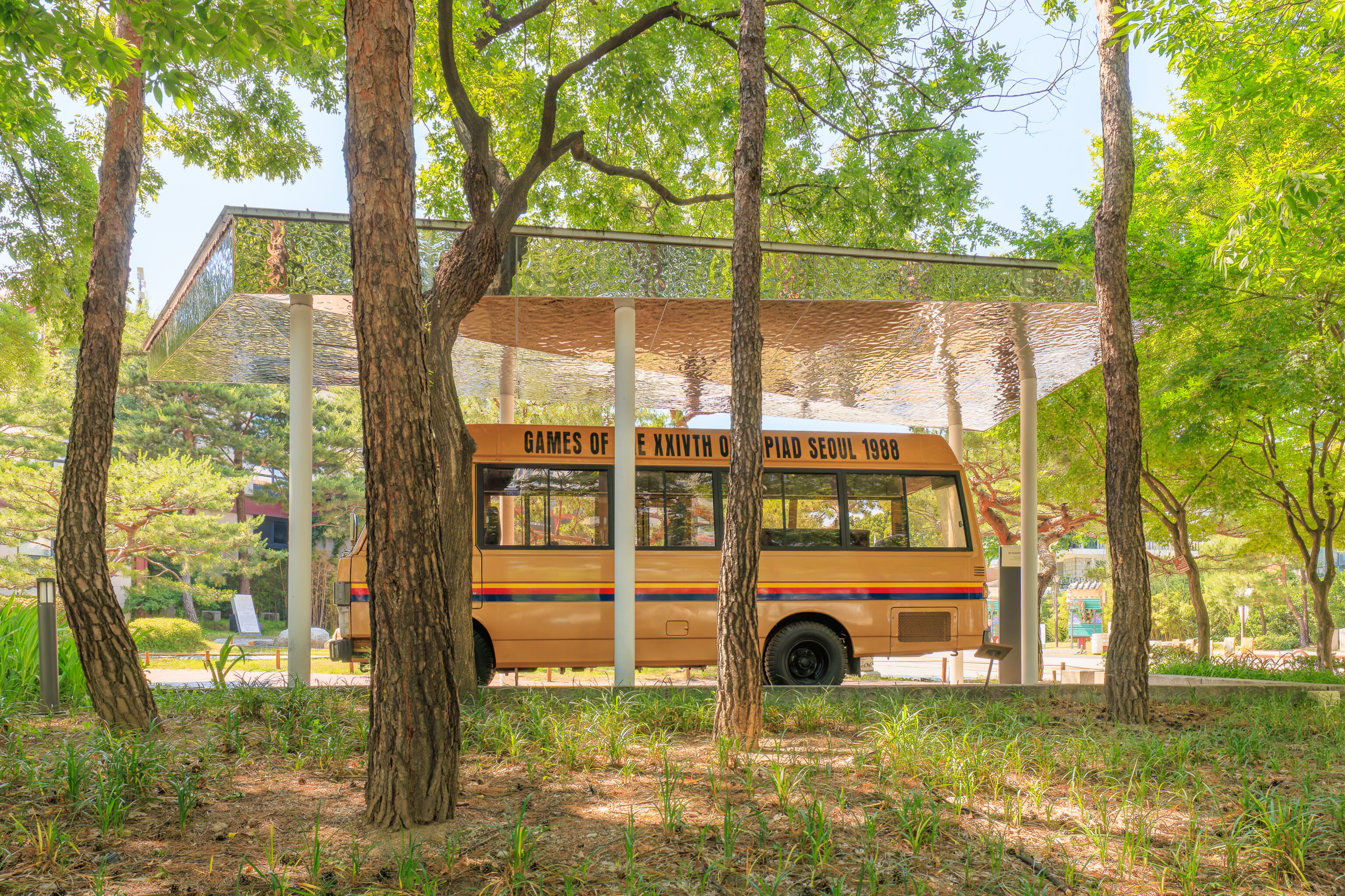
We walked to the southwest past the museum. We soon saw a bus from the 1988 Olympic Games in Seoul.
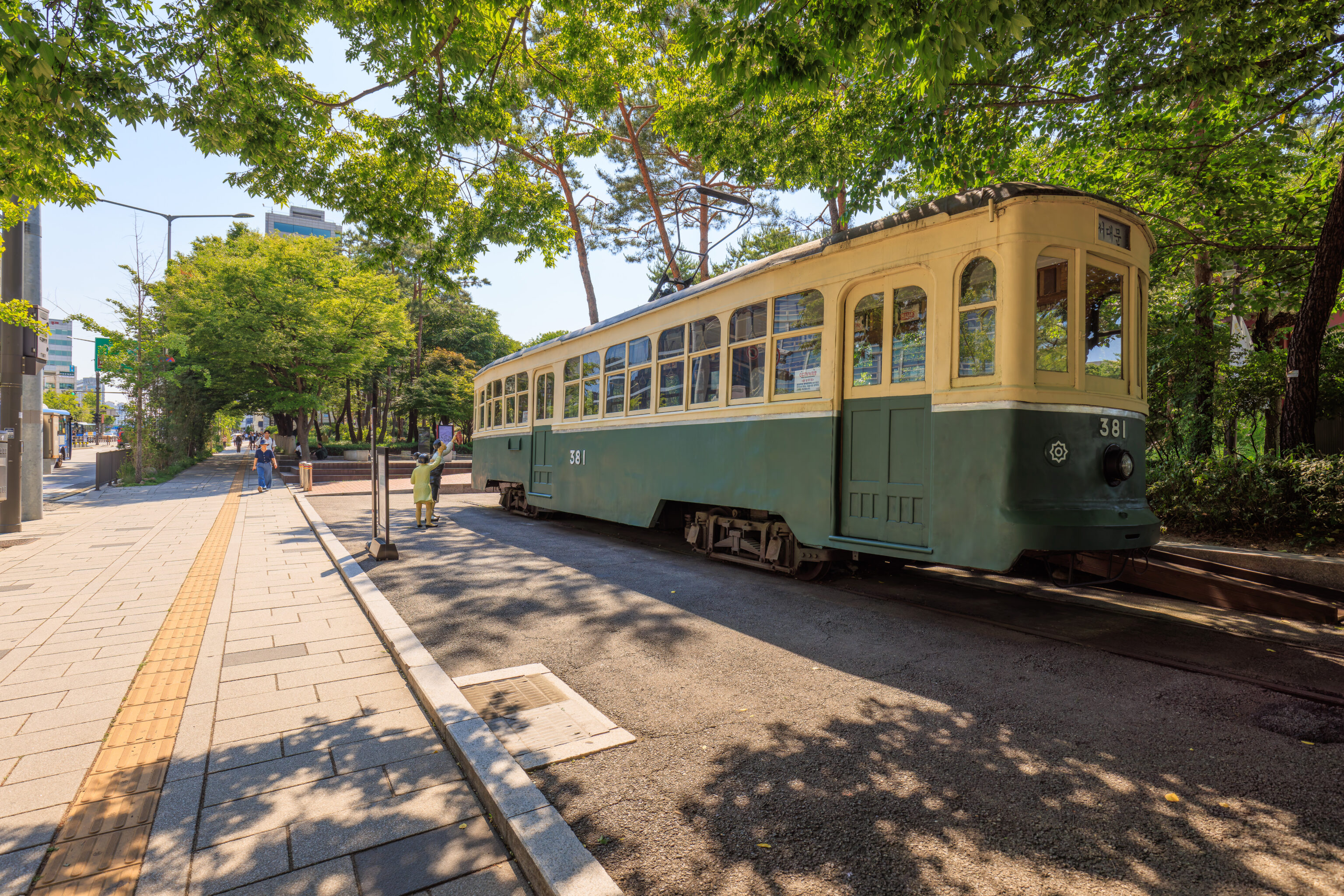
We next passed by a historic streetcar. It would be at home on the streets of San Francisco! A sign documents the history of this vehicle, #381:
Designation: Registered Cultural Heritage No. 467/ Period: 1930s
Location: 55 Saemunan-ro, Jongno-gu, Seoul

This streetcar operated in downtown Seoul for about 38 years since the 1930s until November of 1968. Streetcars began operating in Seoul on May 17, 1899, connecting Seodaemun and Cheongnyangni. Streetcars remained the dominant form of public transportation for Seoul's citizens until the early 1960s. However, as the streetcars began to runder movements of buses and cars after the mid-1960s, the city of Seoul ceased all streetcar operations in November 1968.

This streetcar is one of the last two surviving streetcars in Seoul. It was moved to the Seoul Museum of History in December 2007. It is on exhibit on the museum grounds after having undergone conservation treatment for a year.
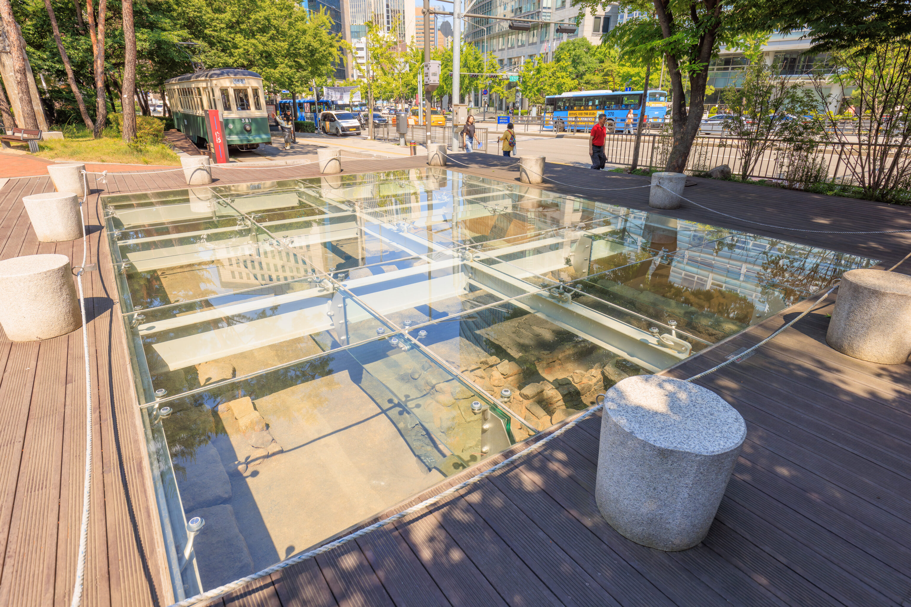
Just past the streetcar, there was a glass window above the remains of a building. A sign explains what we see here:
Shop Structure of Jongno Market

Period of construction: 1420s (Joseon Dynasty) / Dimensions: Width - 8m, Length - 6m
Excavation site: Pimatgol, Cheongjin-dong, Jongno-gu / Date of excavation: July 2004
Date of relocation and restoration: August 2009

This shop structure was excavated during redevelopment of the Pimatgol  area of Cheongjin-dong, Jongno-gu, Seoul, in 2004.  The structure was part of a government market during the Joseon Dynasty.  From 1412 to 1414, more than 2,000 shops were constructed along both sides on road stretching from Gwanghwamun to Jongno 5-ga.  Burnt wooden pieces in the middle of the structure indicate damage inflicted by the great fire that broke out in the city in 1426, which burned down 2,400 houses and 160 shops. This structure was relocated to the Seoul Museum of History and restored. It has significant value for studying the structure of government markets and historical events such as the 1426 fire.
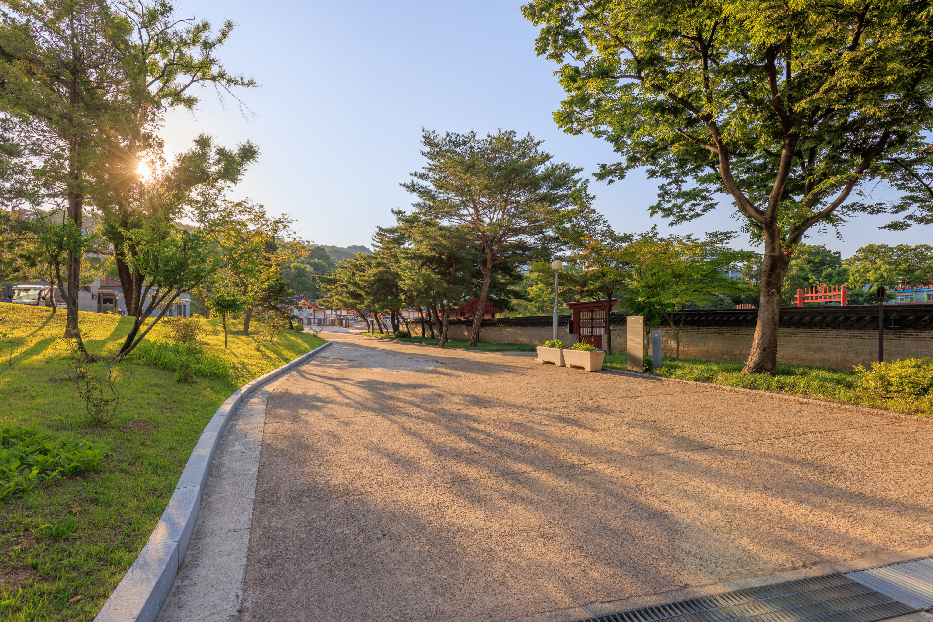
We turned down this path to get away from the street as we neared the entrance to Gyeonghuigung.
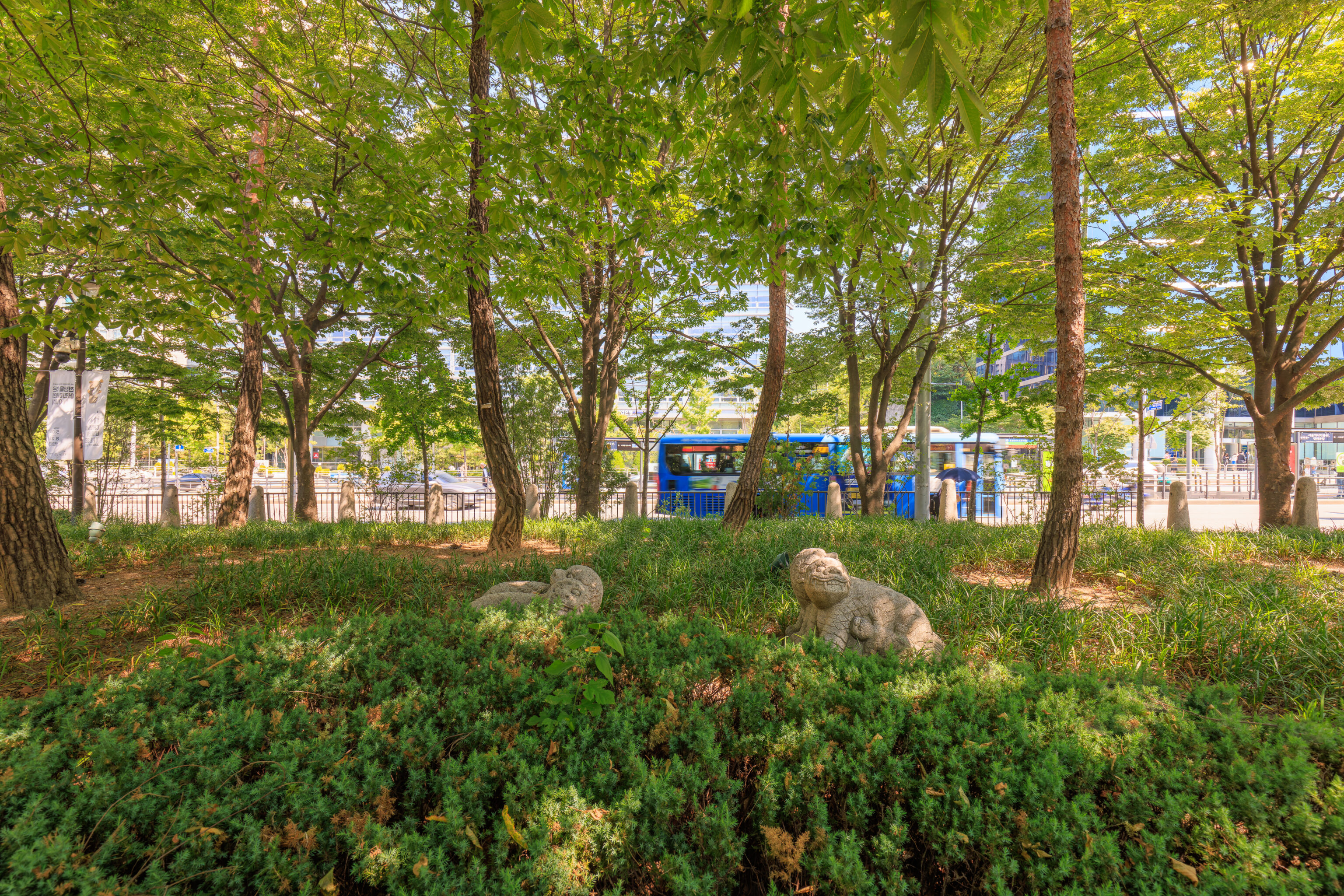
We passed by some haetae in a small field of grass.
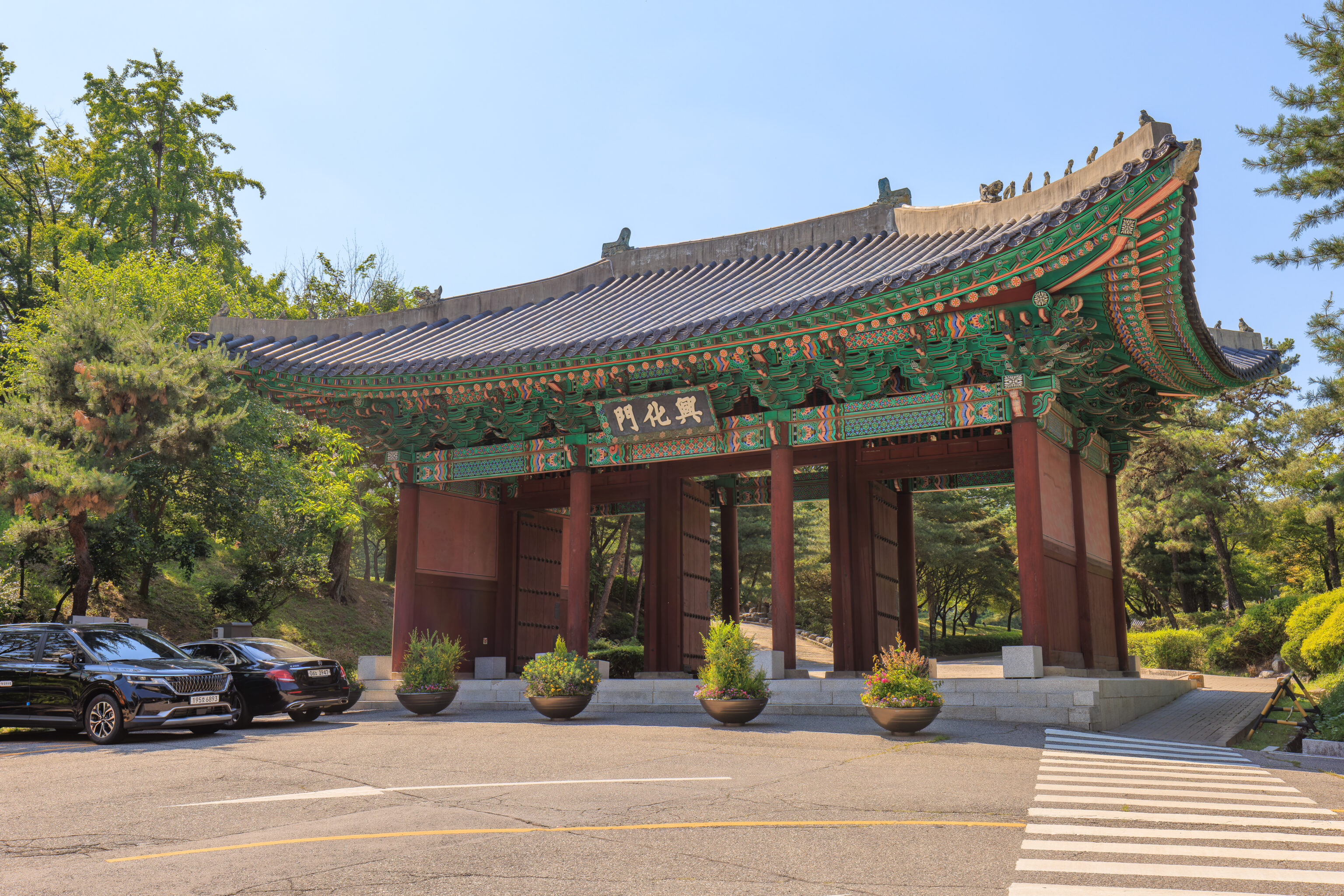
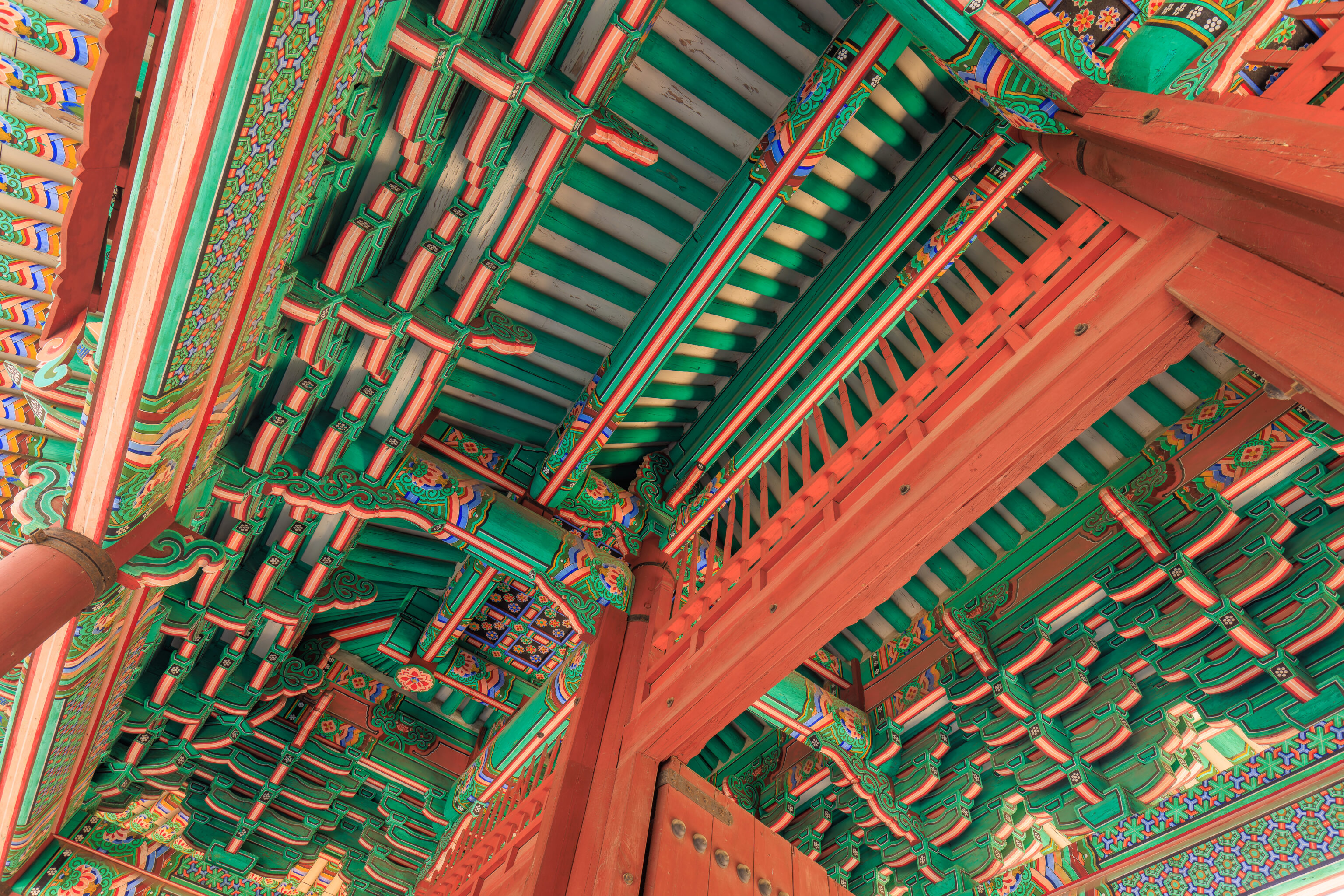
We soon saw the 흥화문 Heunghwamun, the gate into the Gyeonghuigung. The gate is right next to a small road that leads to the Seoul Museum of History’s parking lot.
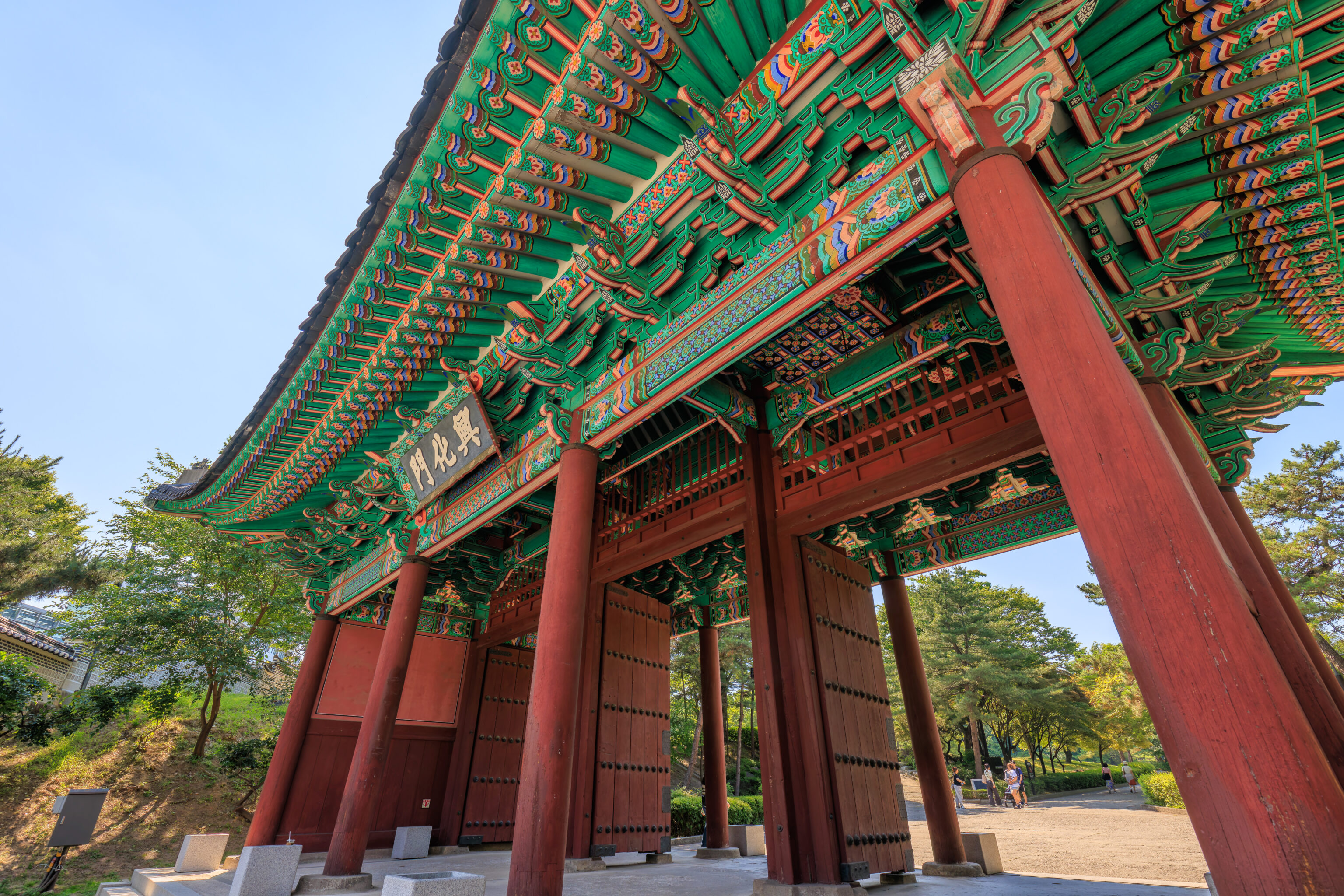
We walked through the gate to enter the palace grounds, which are free to enter.
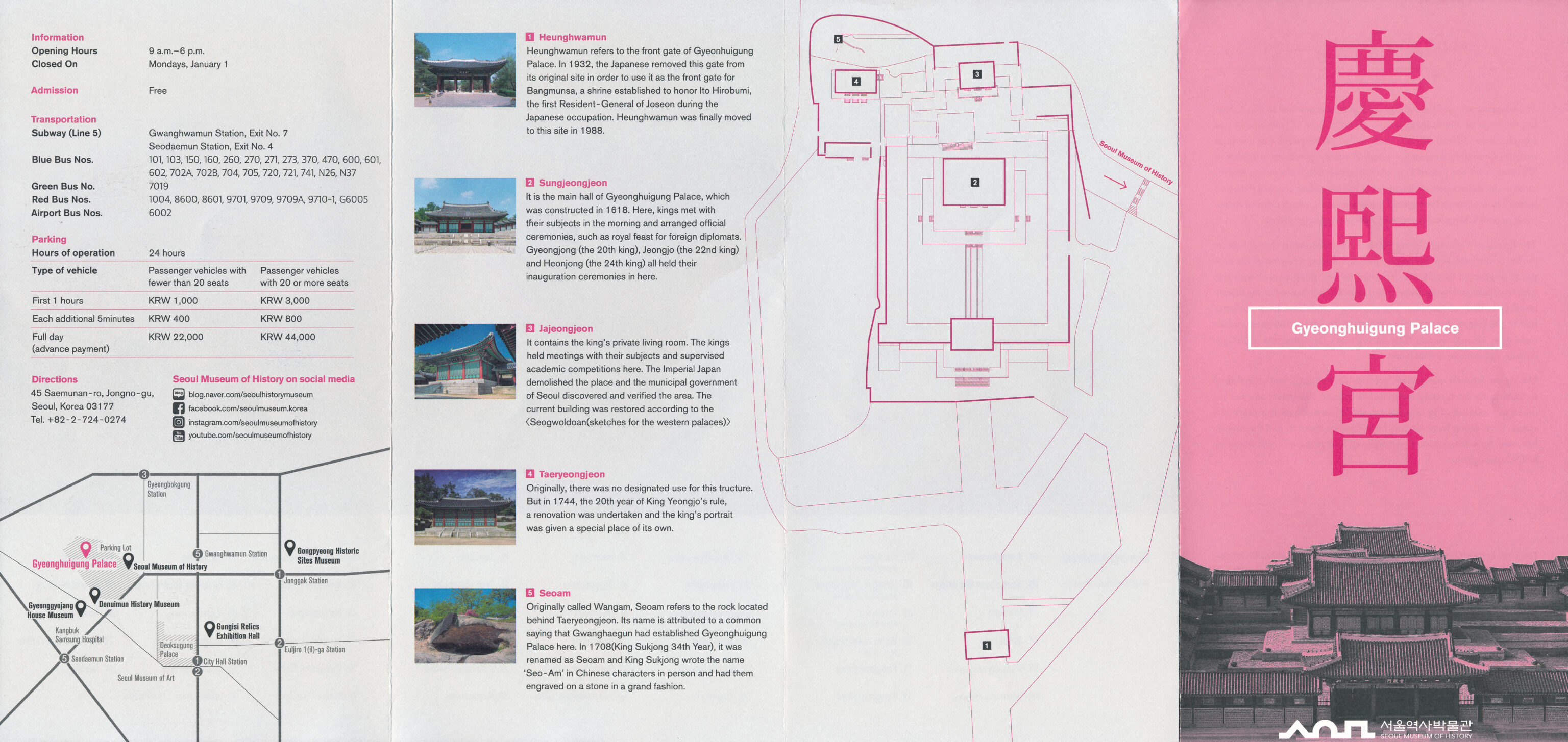
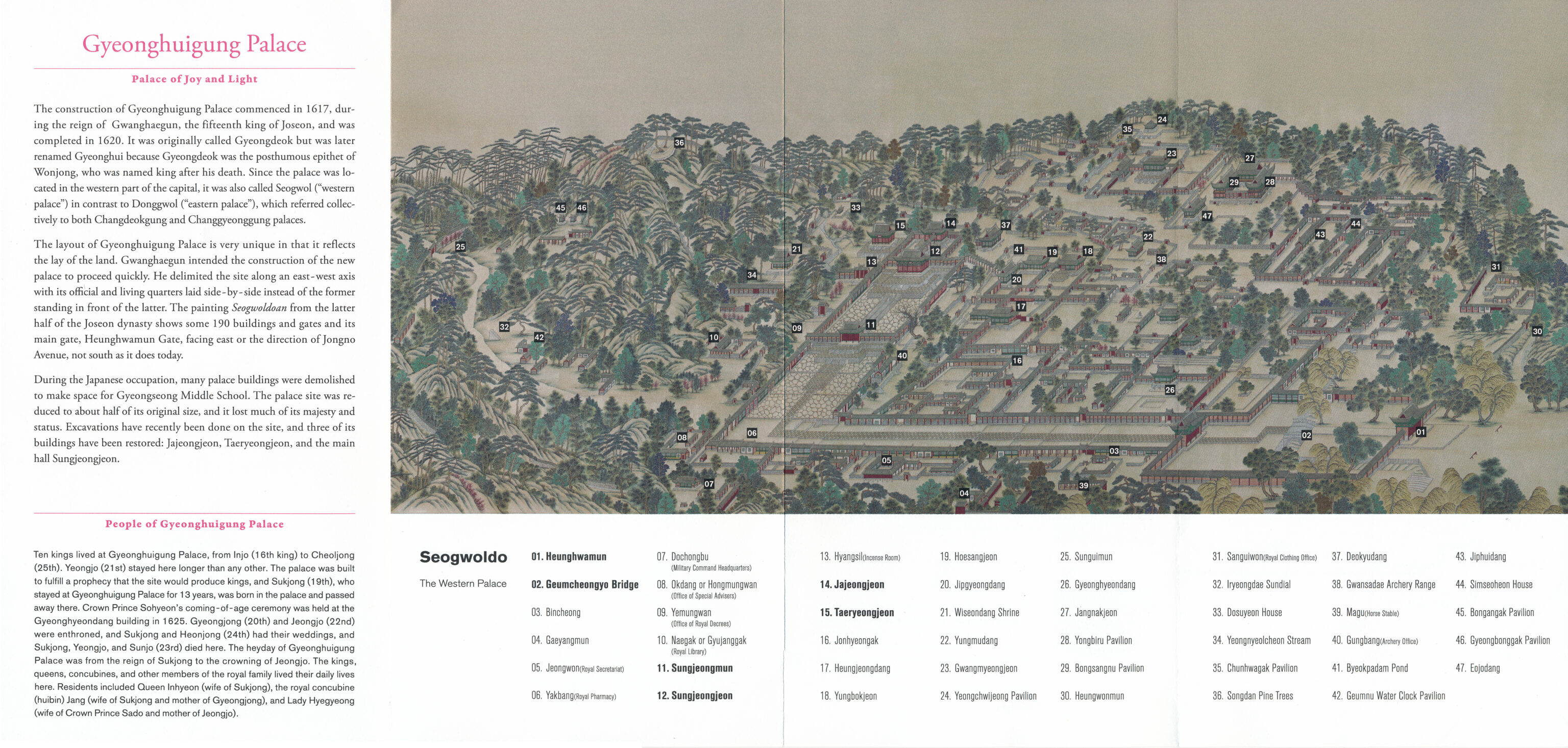
This pamphlet provides a map of what the palace grounds looked like in the past. Very little remains today.
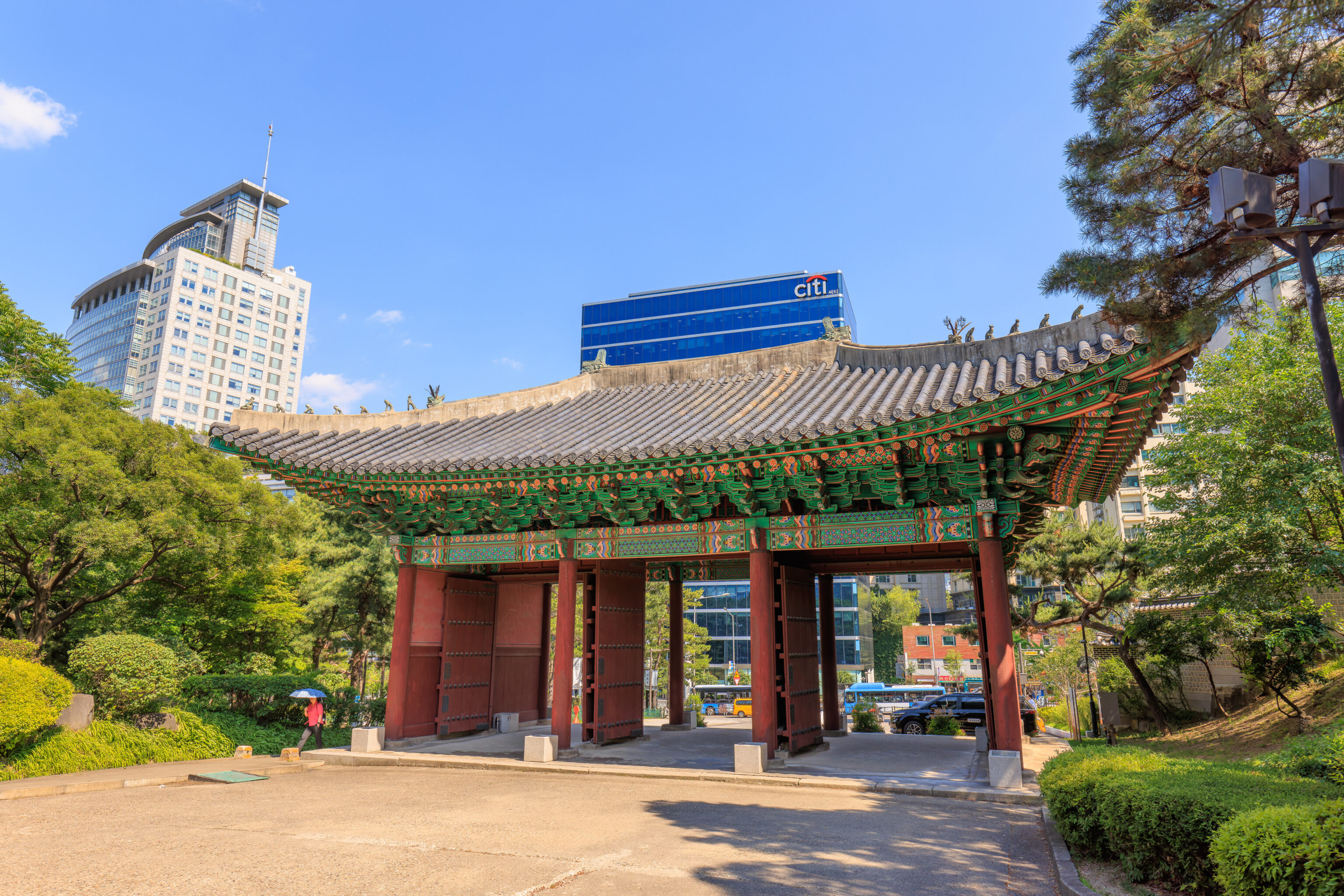
The Heunghwamun, a seen from the north.
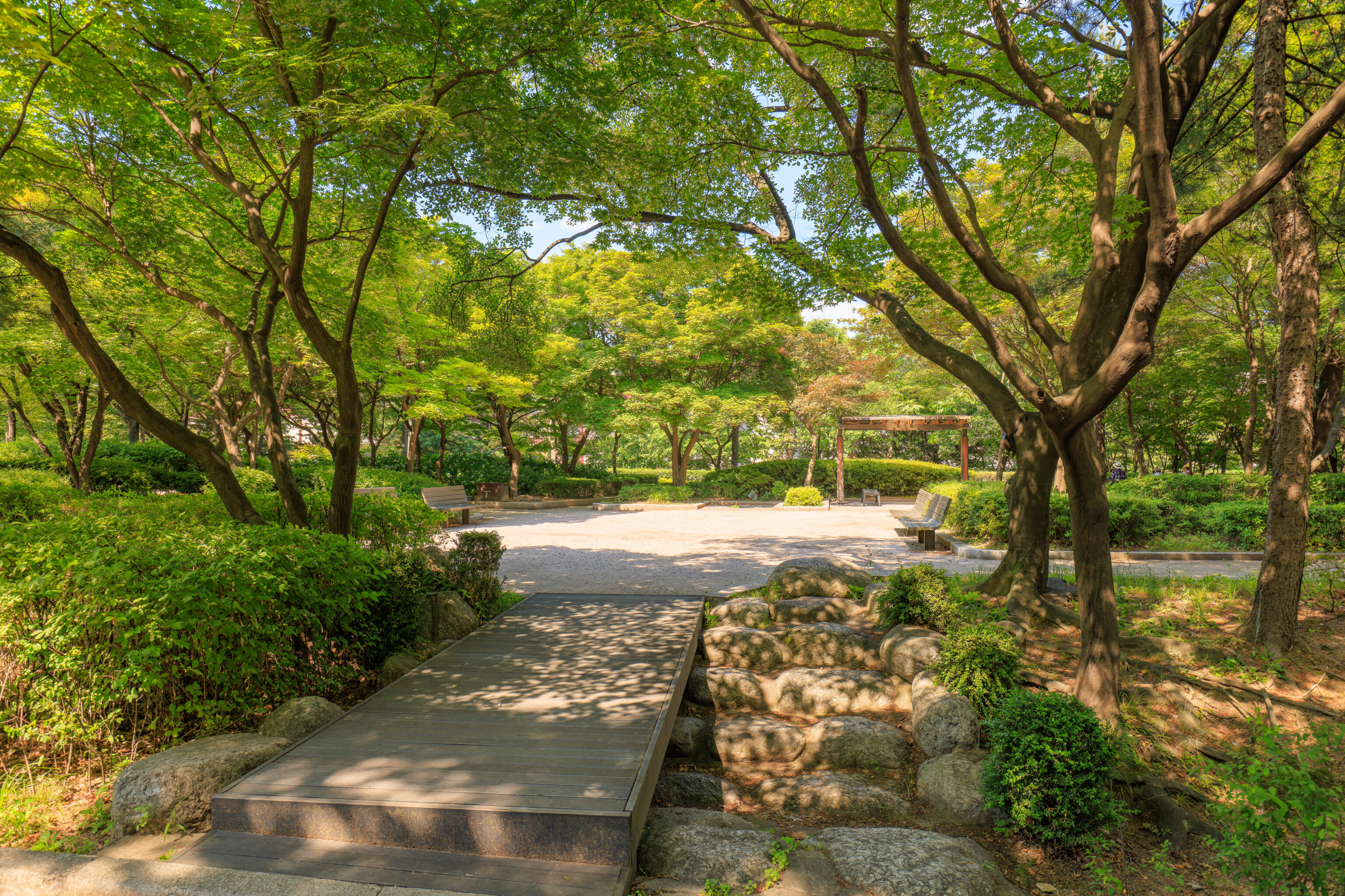
We passed by a small rest area as we headed to the palace’s buildings.
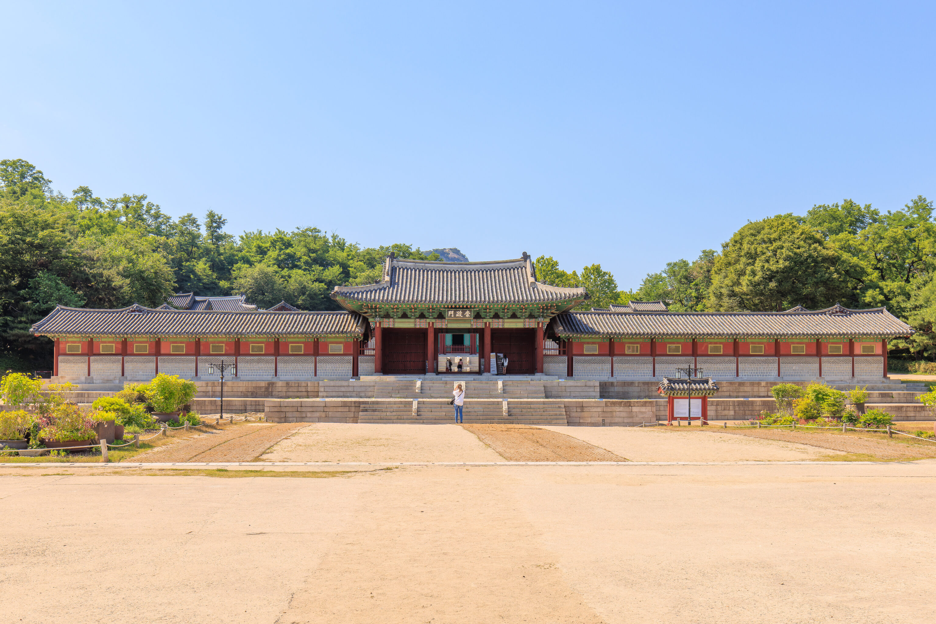
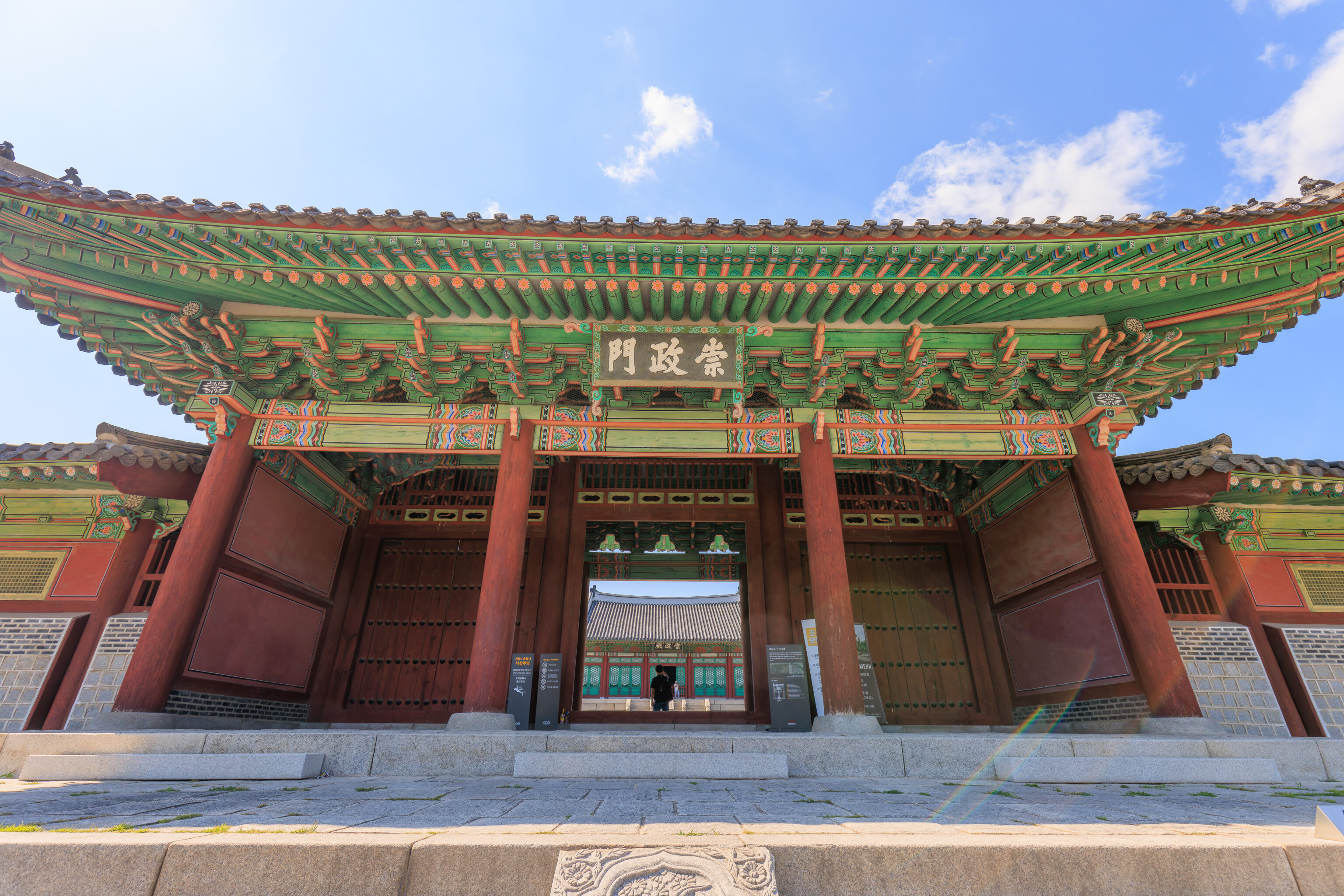
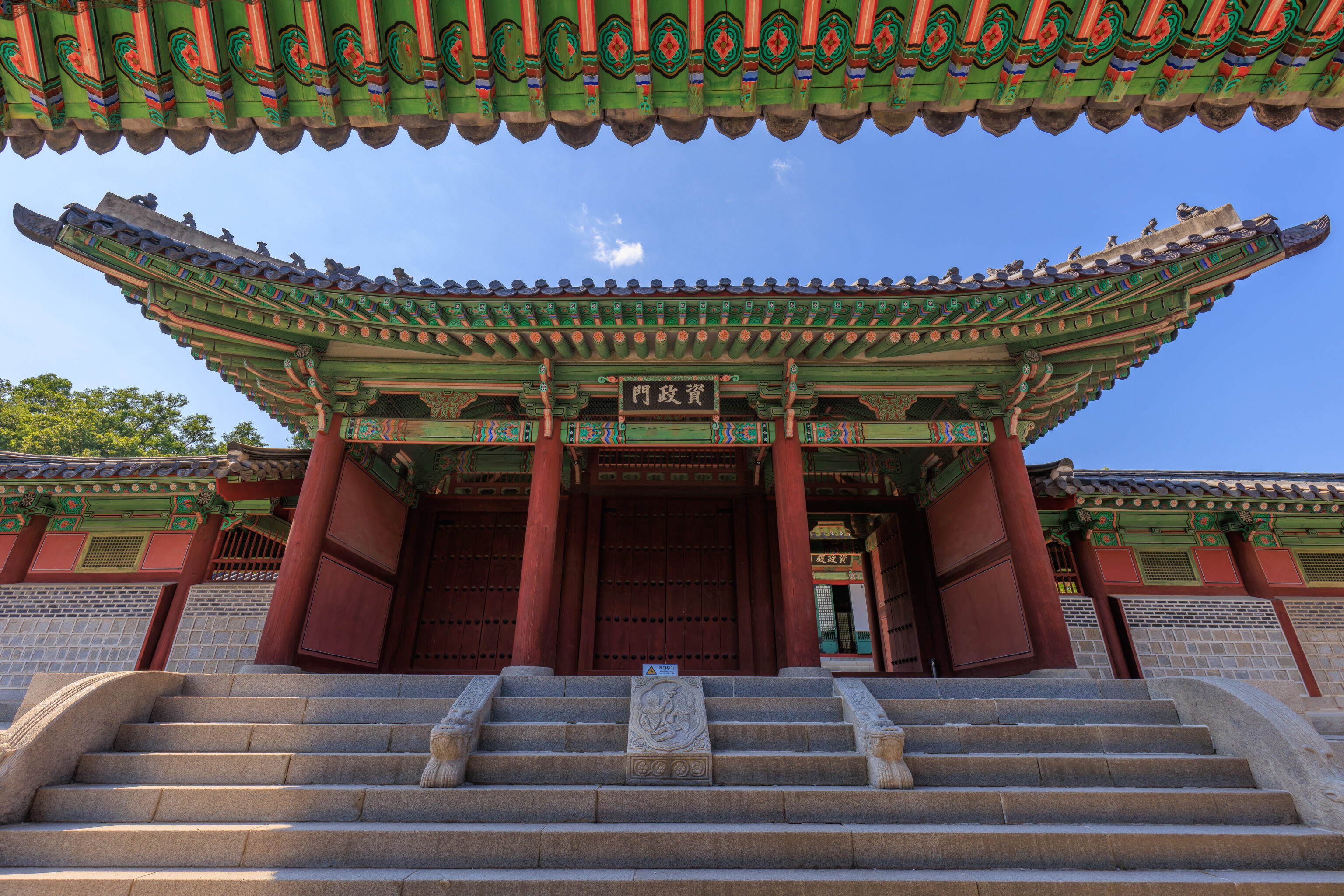
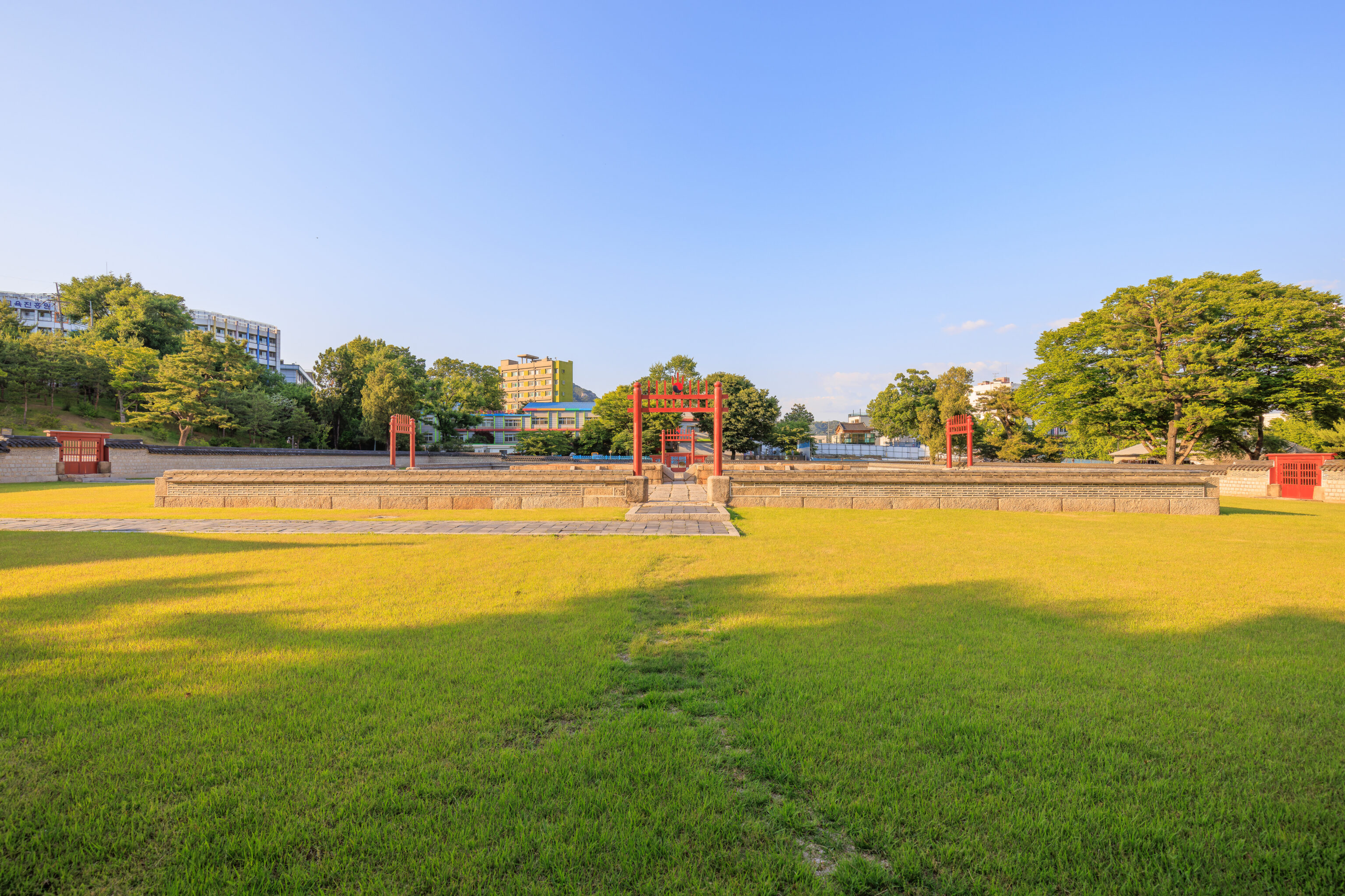
We saw the 숭정문 Sungjeongmun, the gate into the palace’s courtyard, ahead. A sign here describes the palace:
Historic Site/1617 (9th year of King Gwanghaegun's reign)
Address: 45 Saemunan-ro, Jongno-gu, Seoul

This is the site of Gyeonghuigung Palace, one of the five main palaces of the Joseon dynasty. Gyeonghuigung Palace was established during the reign of Prince Gwanghae (r. 1608-1623), and functioned as a major palace until the late Joseon dynasty during the reign of King Gojong (r. 1863-1907). Several buildings, including Sungjeongjeon Hall and Jajeongjeon Hall, used to be arranged along the geographical features of the palace. However, most of the buildings were relocated and reused in Gyeongbokgung Palace when Gyeongbokgung Palace underwent reconstruction during the reign of King Gojong. During the Japanese colonial period, the ownership of the palace was turned over to the Joseon Governor-General Office. Gyeongseong Middle School and official residences were then built there, destroying the palace's dignity. The area of the palace was also considerably downsized, but with persistent excavation and research, a part of Sungjeongjeon Hall and some other buildings have been restored and remain to be what they are today.
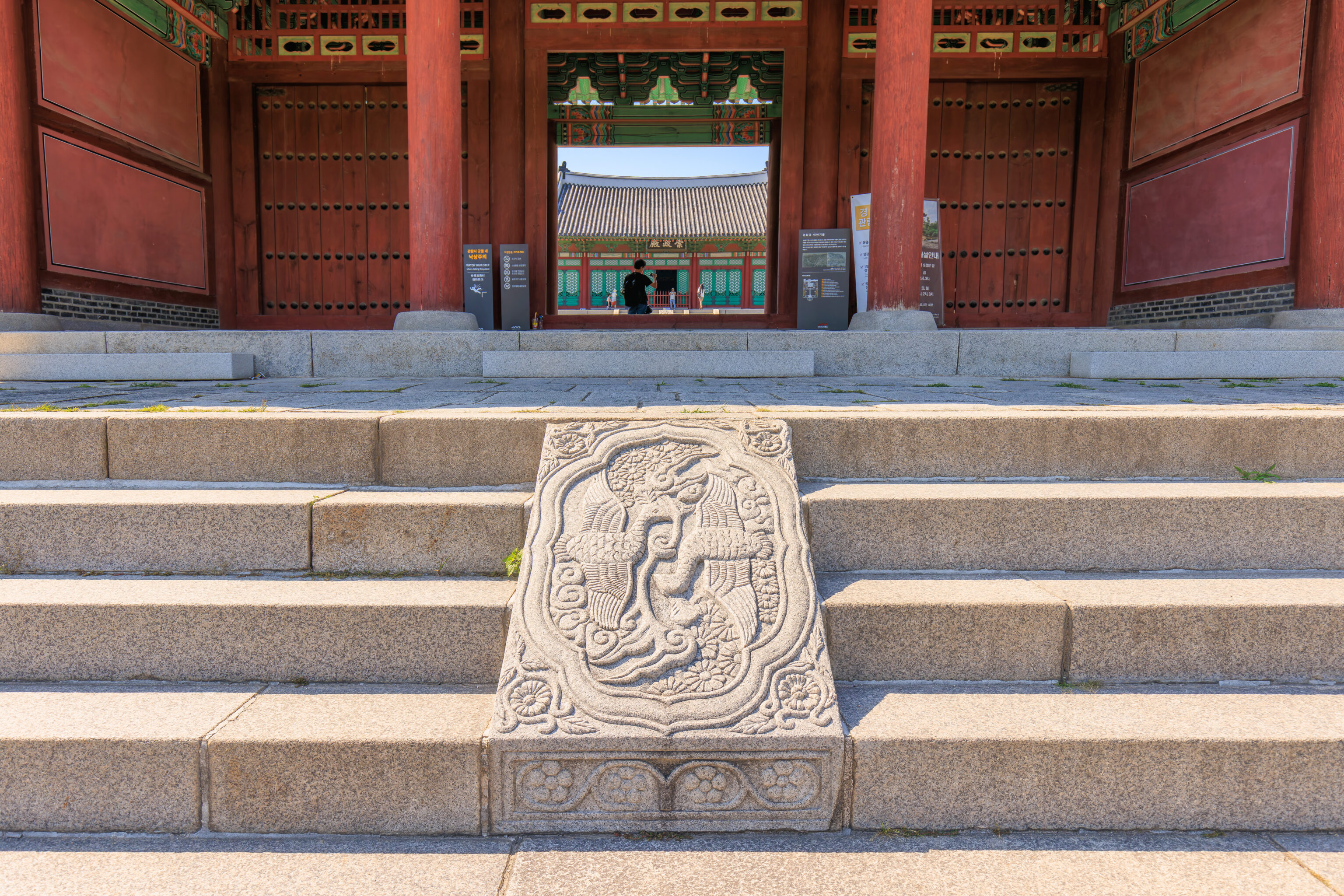
Two phoenixes were carved into stone at the stairs leading to the Sungjeongmun.
We walked through the gate.
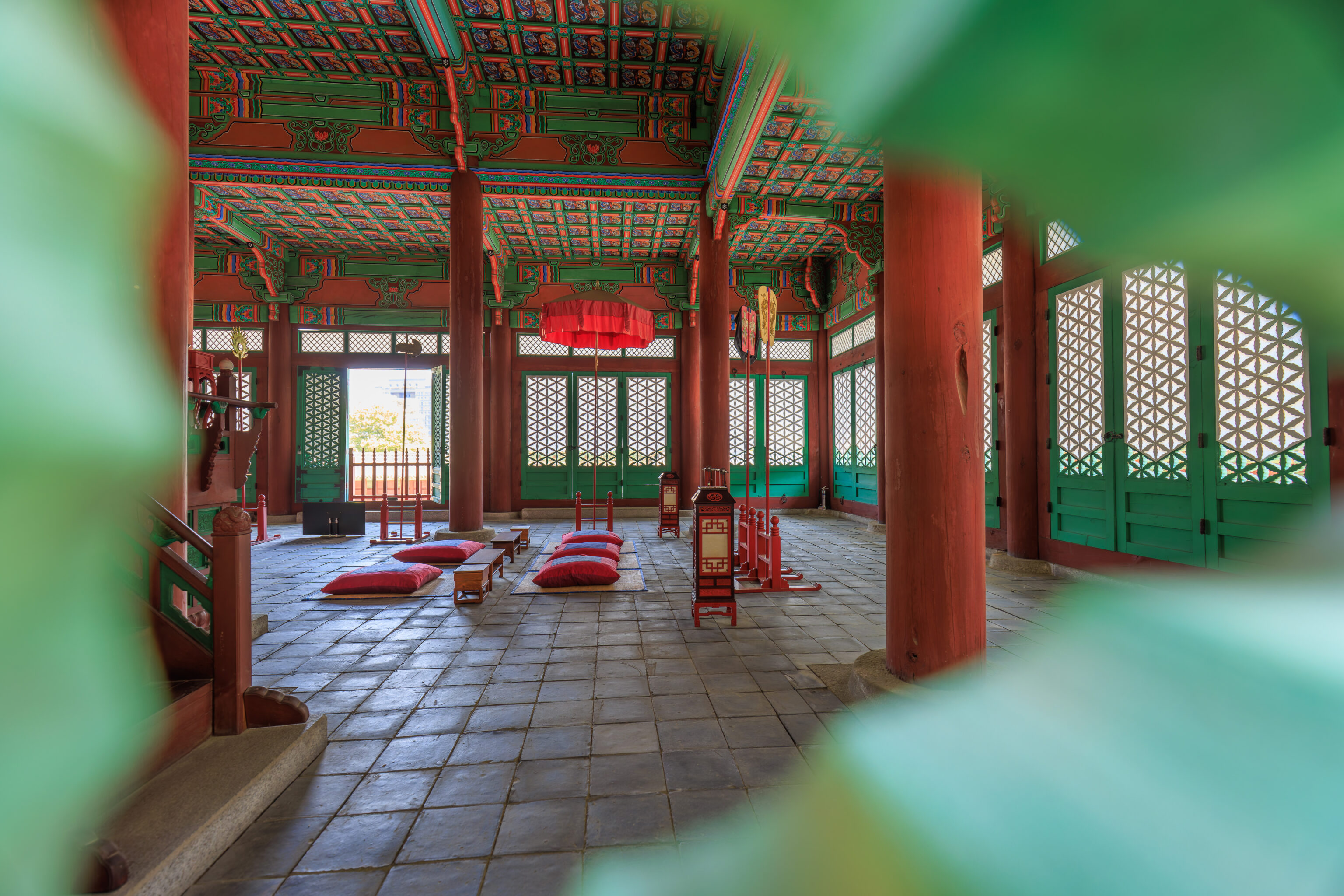
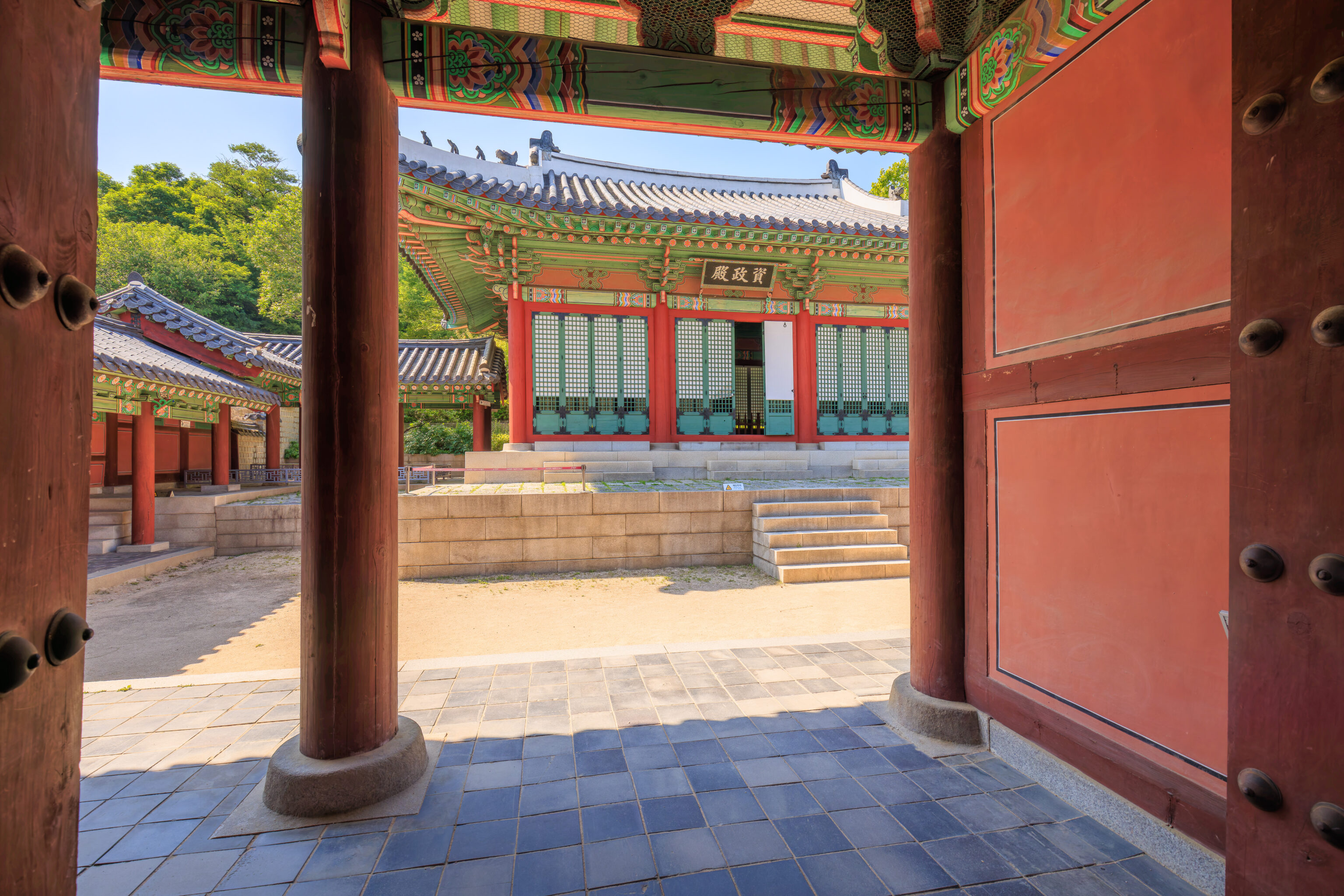
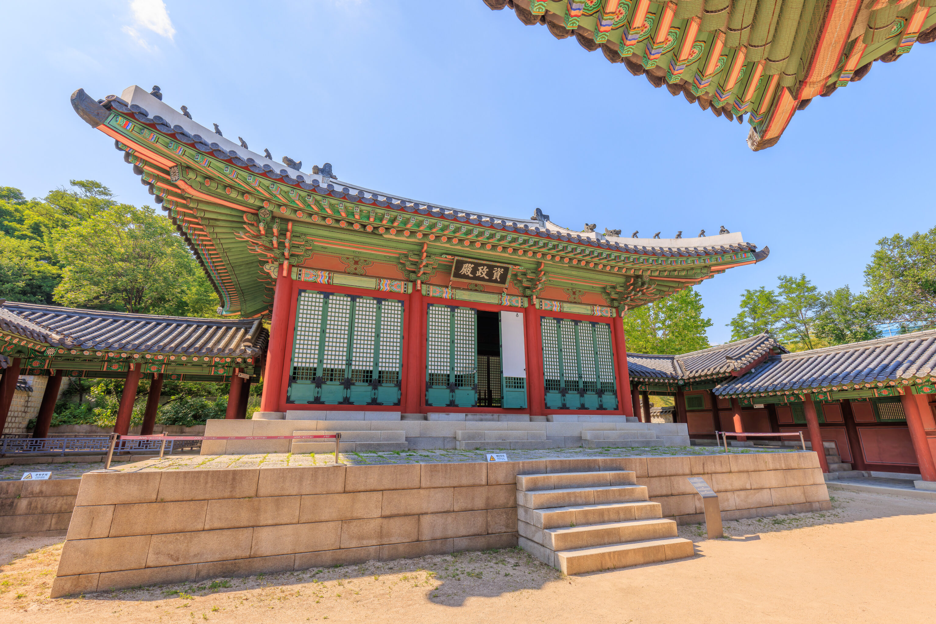
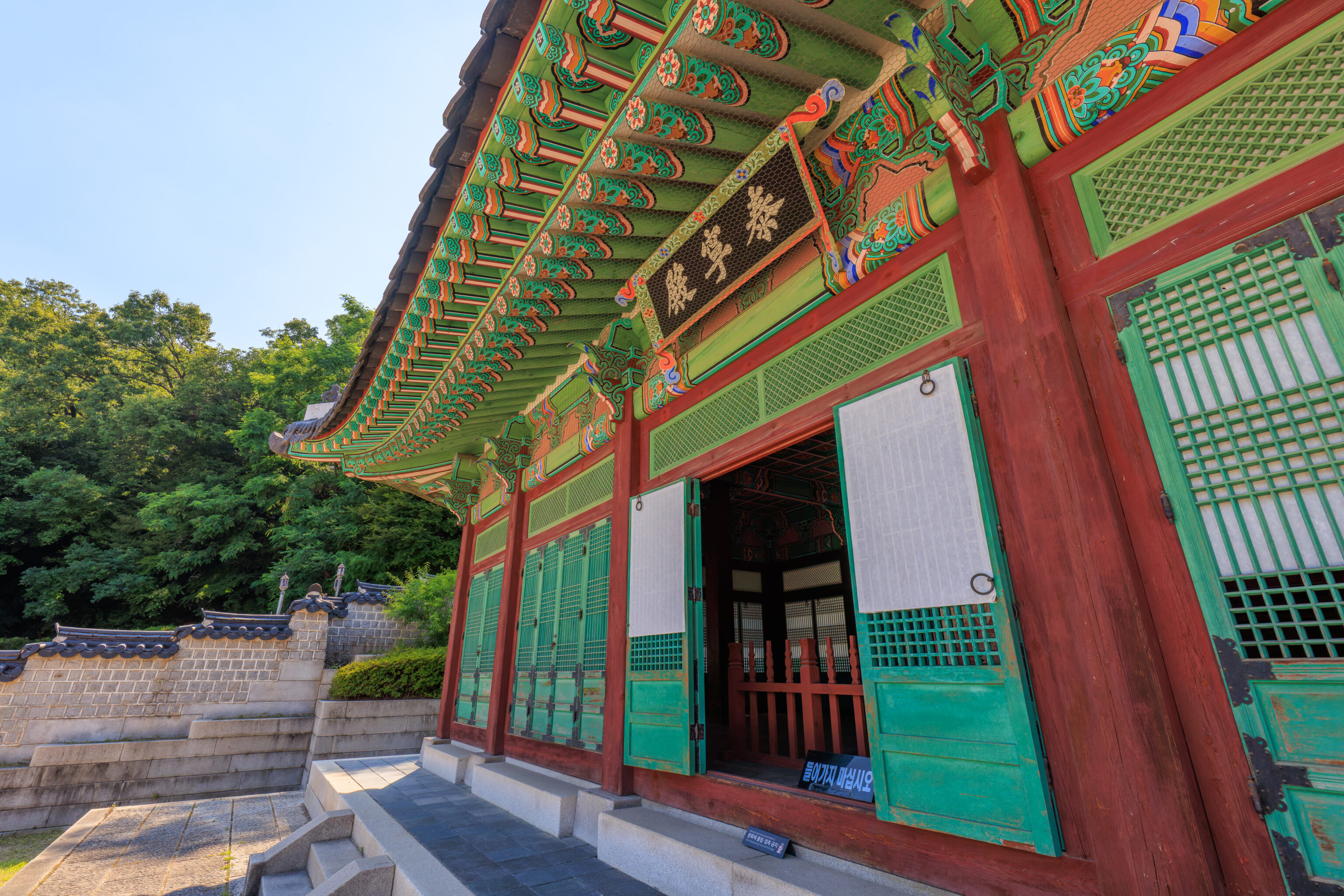
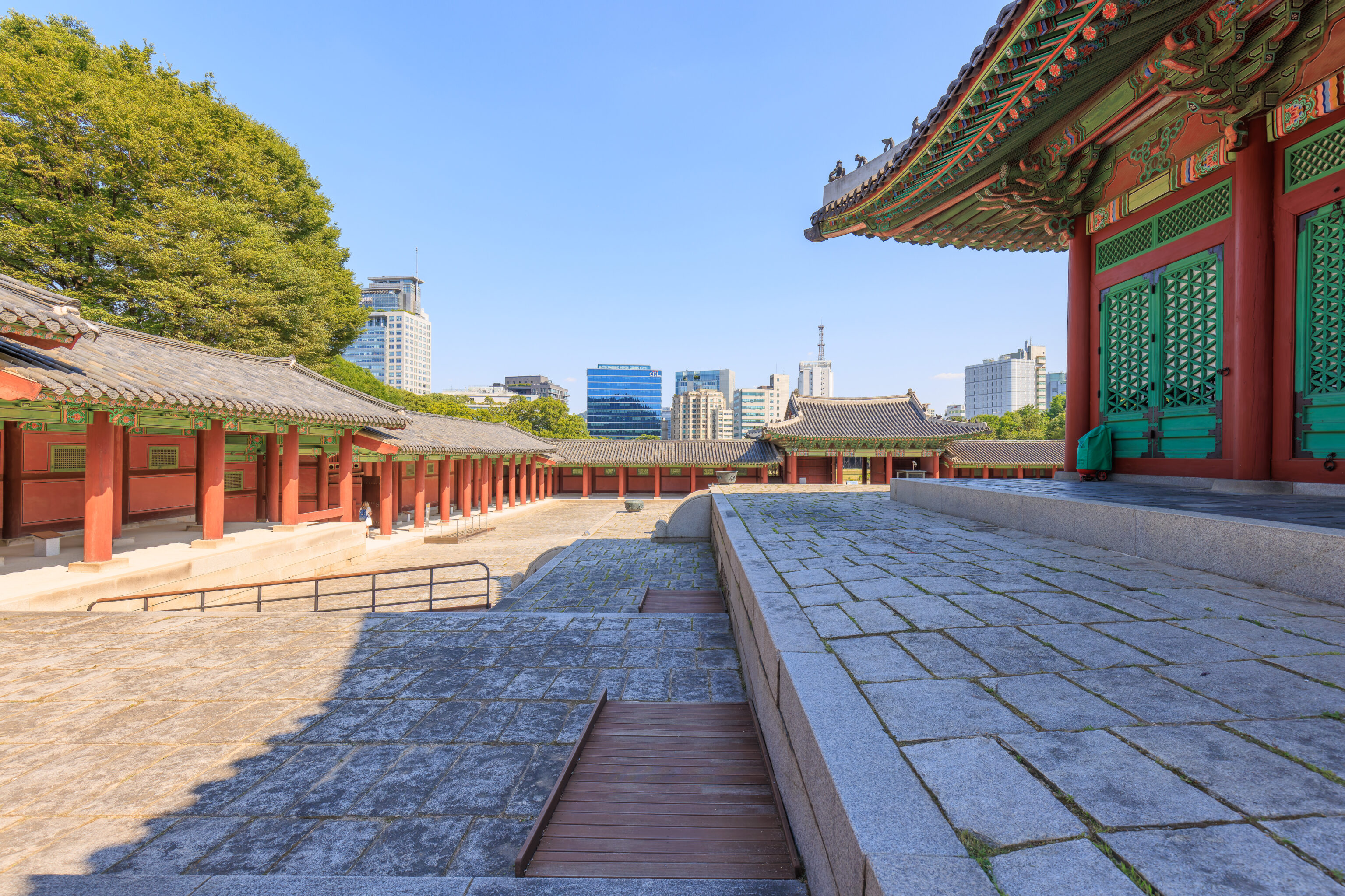
Once inside, we saw the 숭정전 Sungjeongjeon in front of us. A sign describes this building:
This main hall of Gyeonghuigung Palace was constructed in 1618. Here, kings met with subjects in the morning and had official ceremonies, such as royal feast for foreign diplomats. Gyeongjong, Jeongjo and Heonjong, (the 20th, 22nd, and 24th kings respectively), held their inauguration ceremonies here. However, Imperial Japan dismantled Gyeonghuigung Palace and sold the building Sungjeongjeon in 1926 to a Japanese temple. This currently remains as Jeonggagwon temple in Dongguk University.
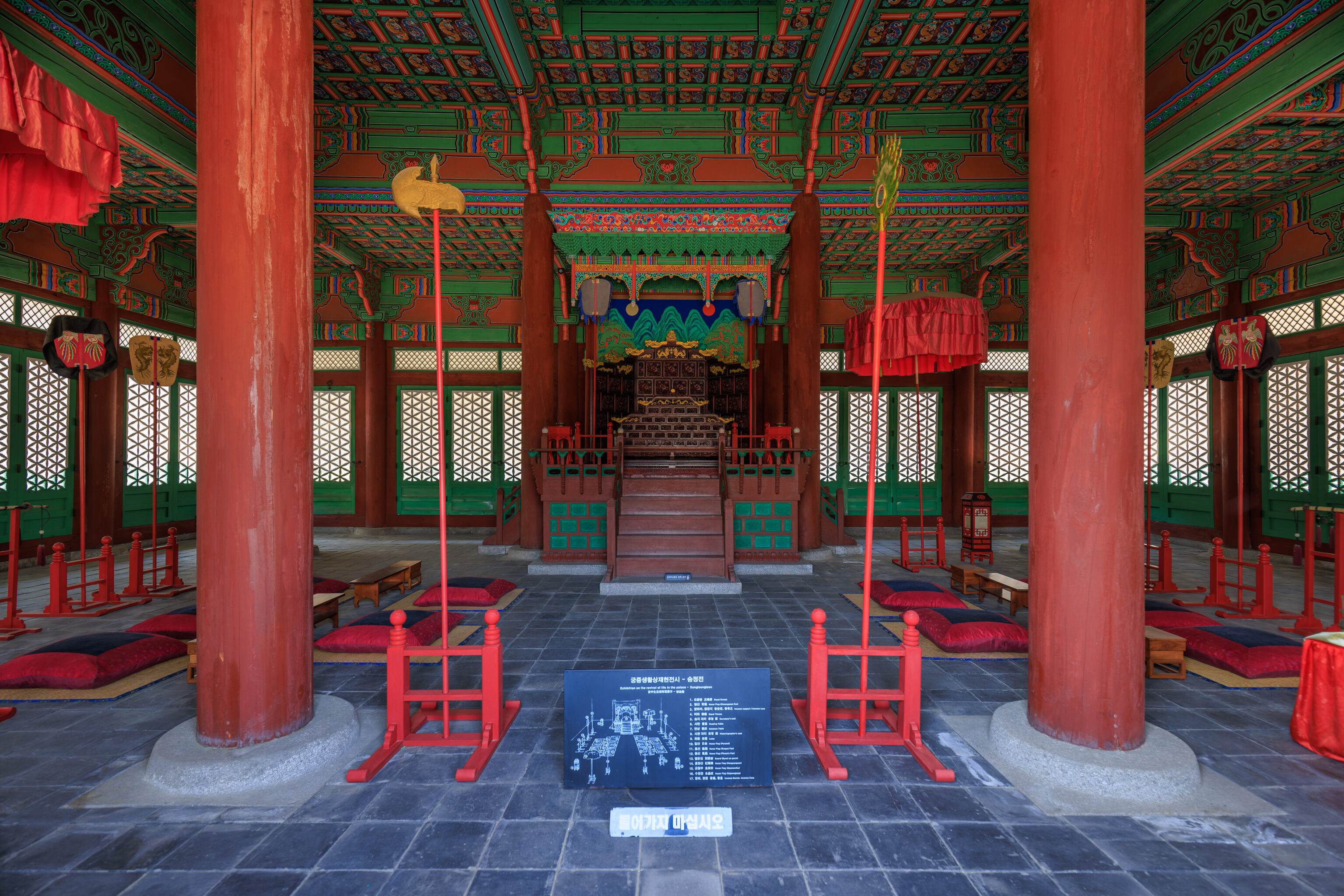
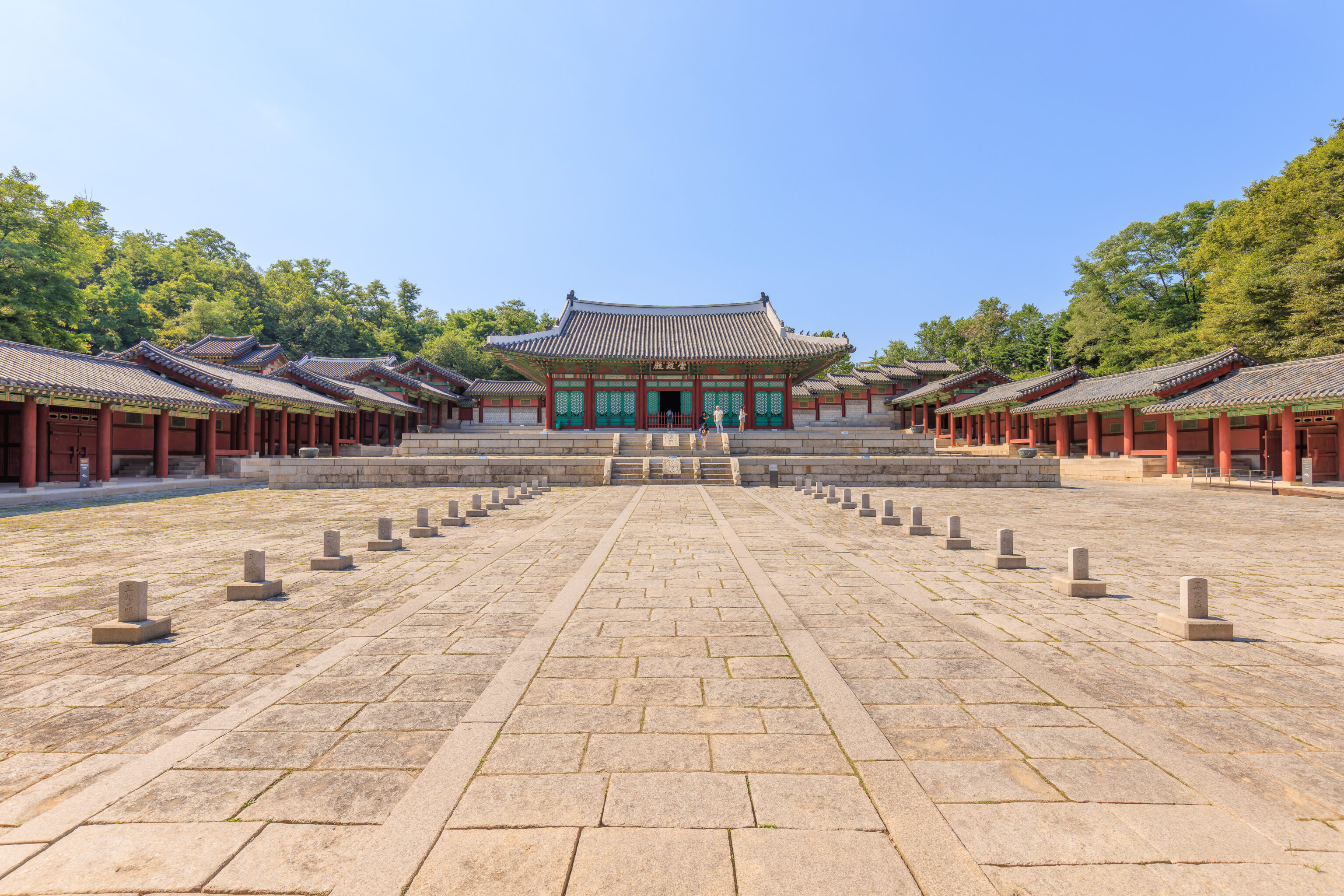
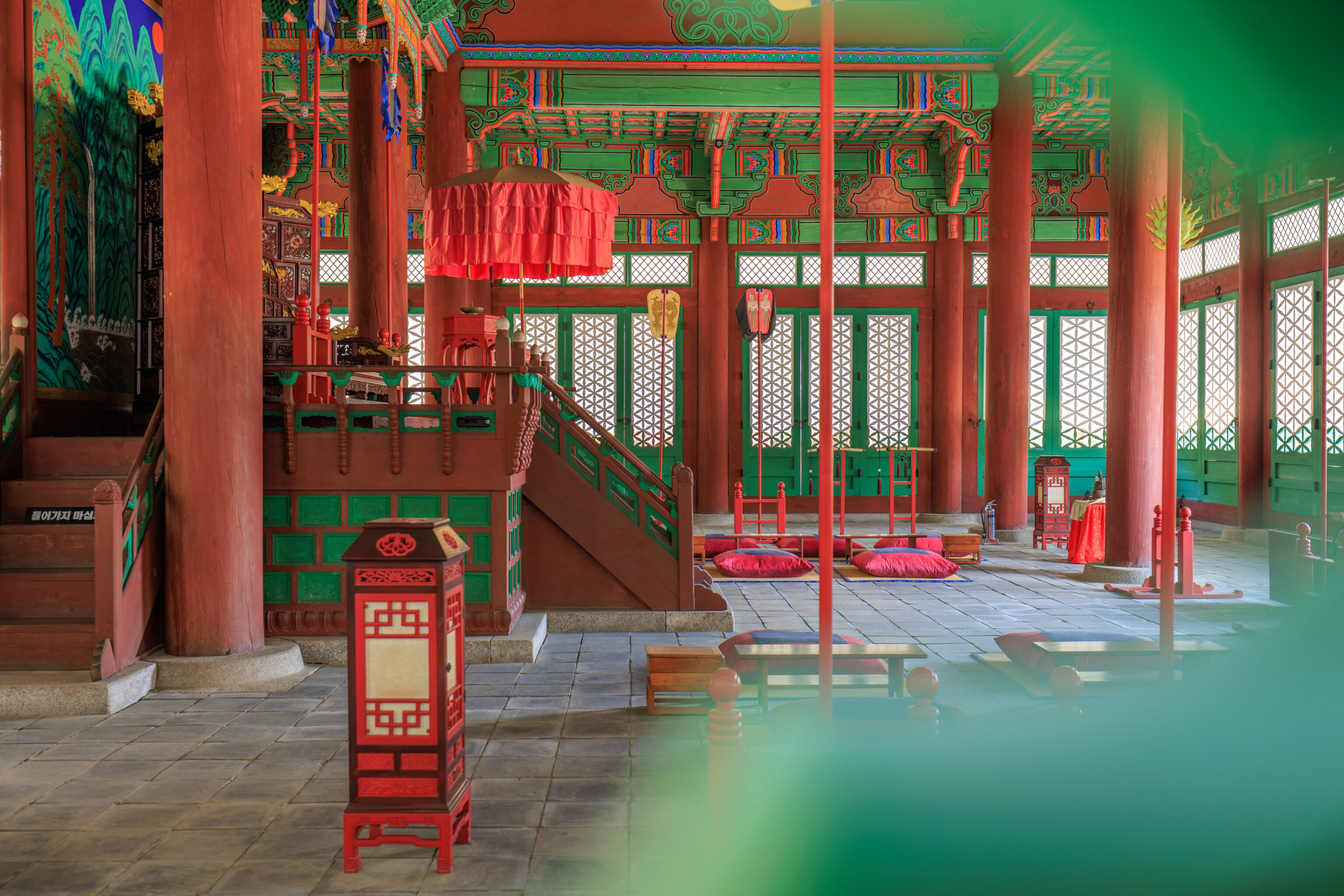
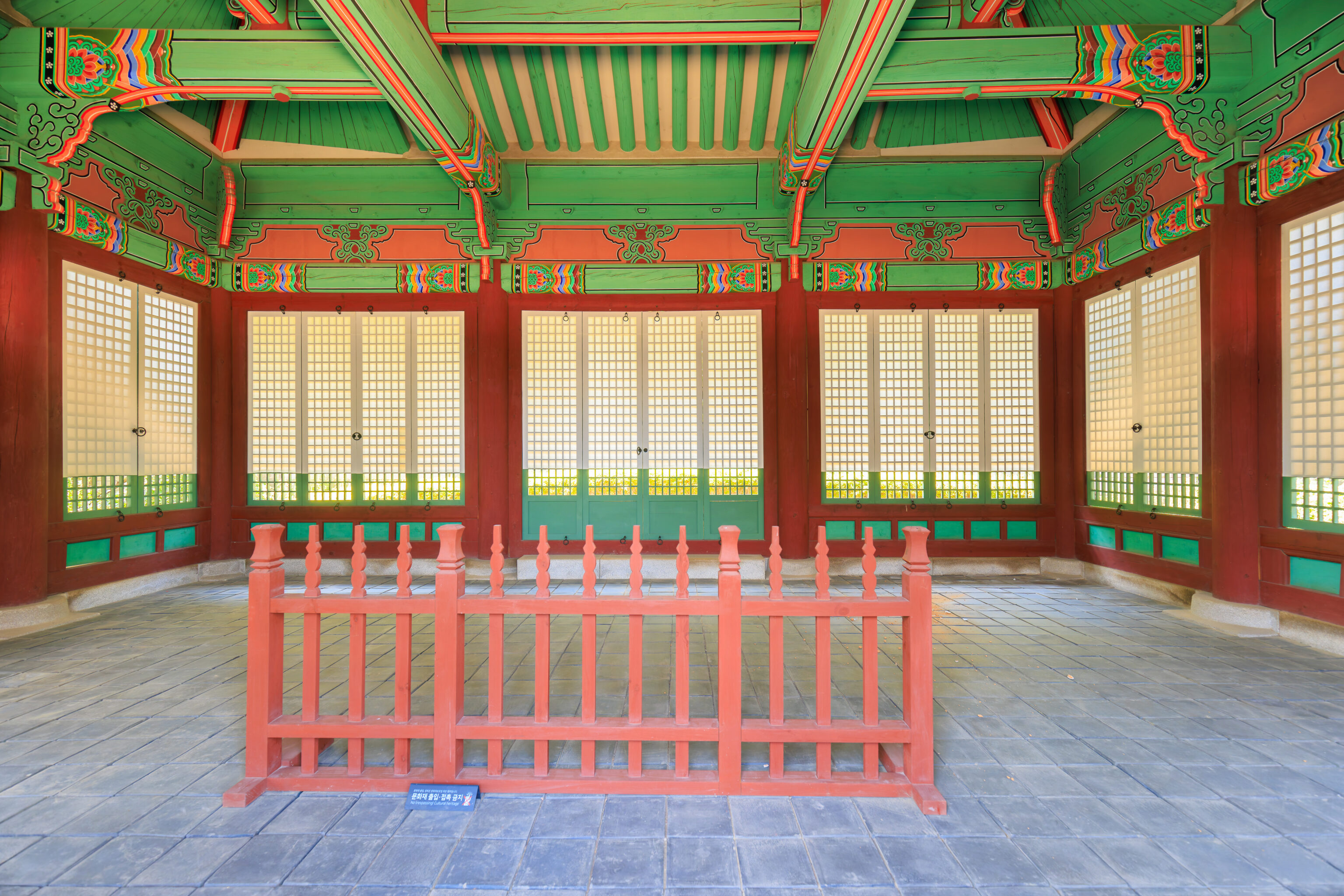
We looked into the Sungjeongjeon to see a large throne at the far end of the room. The interior was smaller than the other palace main halls that we’ve seen in Seoul but otherwise similar.

The ceiling had two carved dragons.
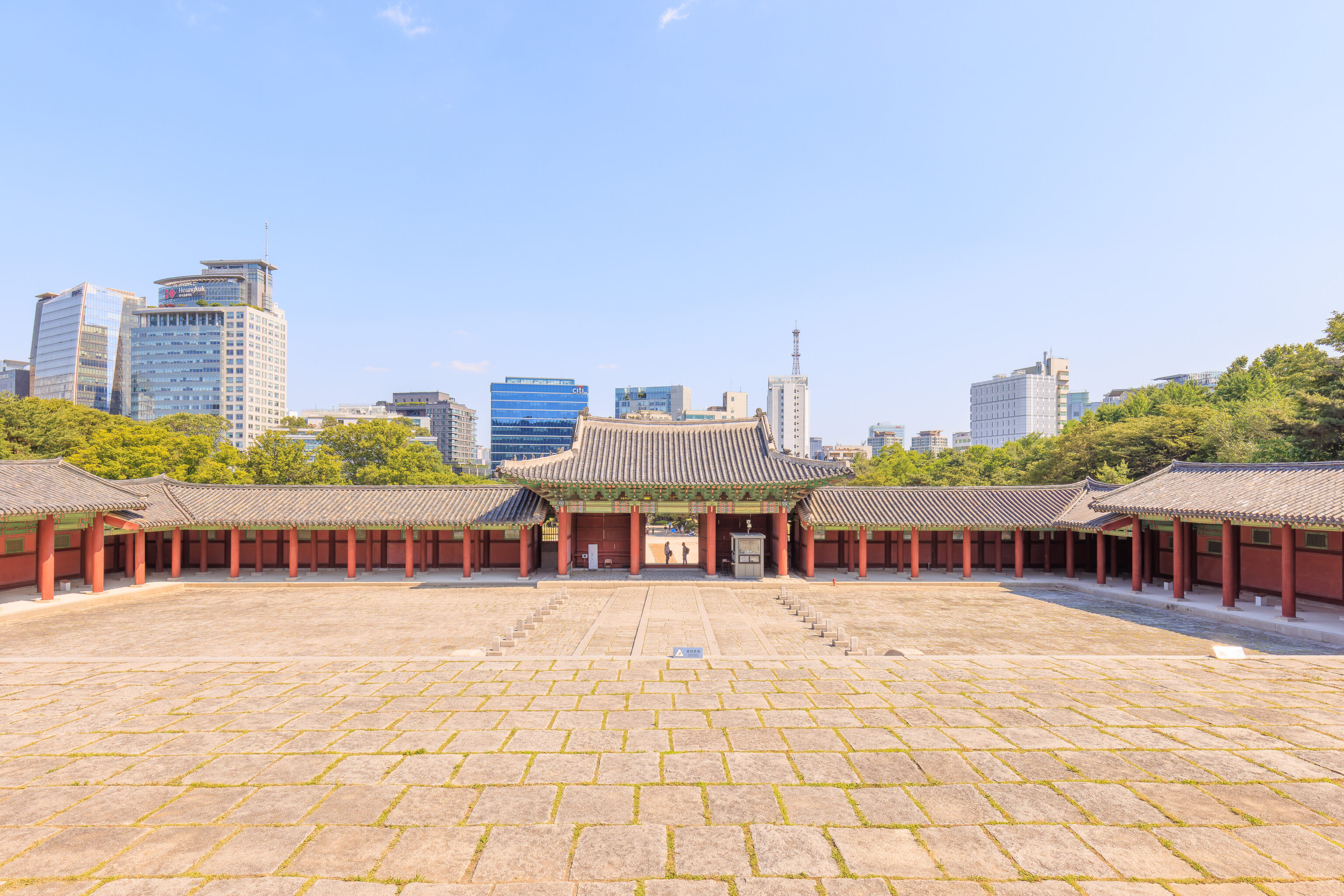
Looking back, we could see the courtyard and the Sungjeongmun, the gate that we just walked through.
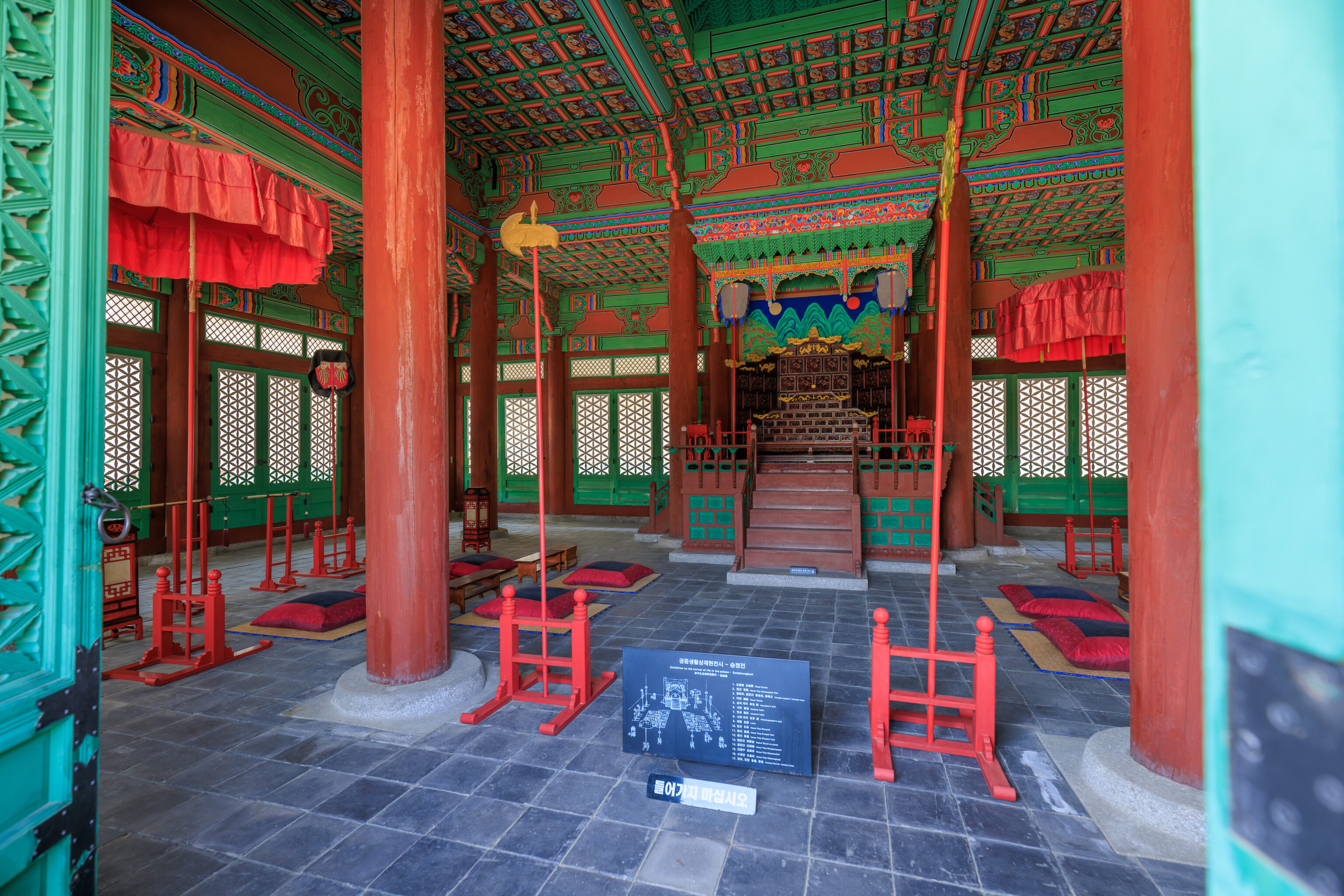
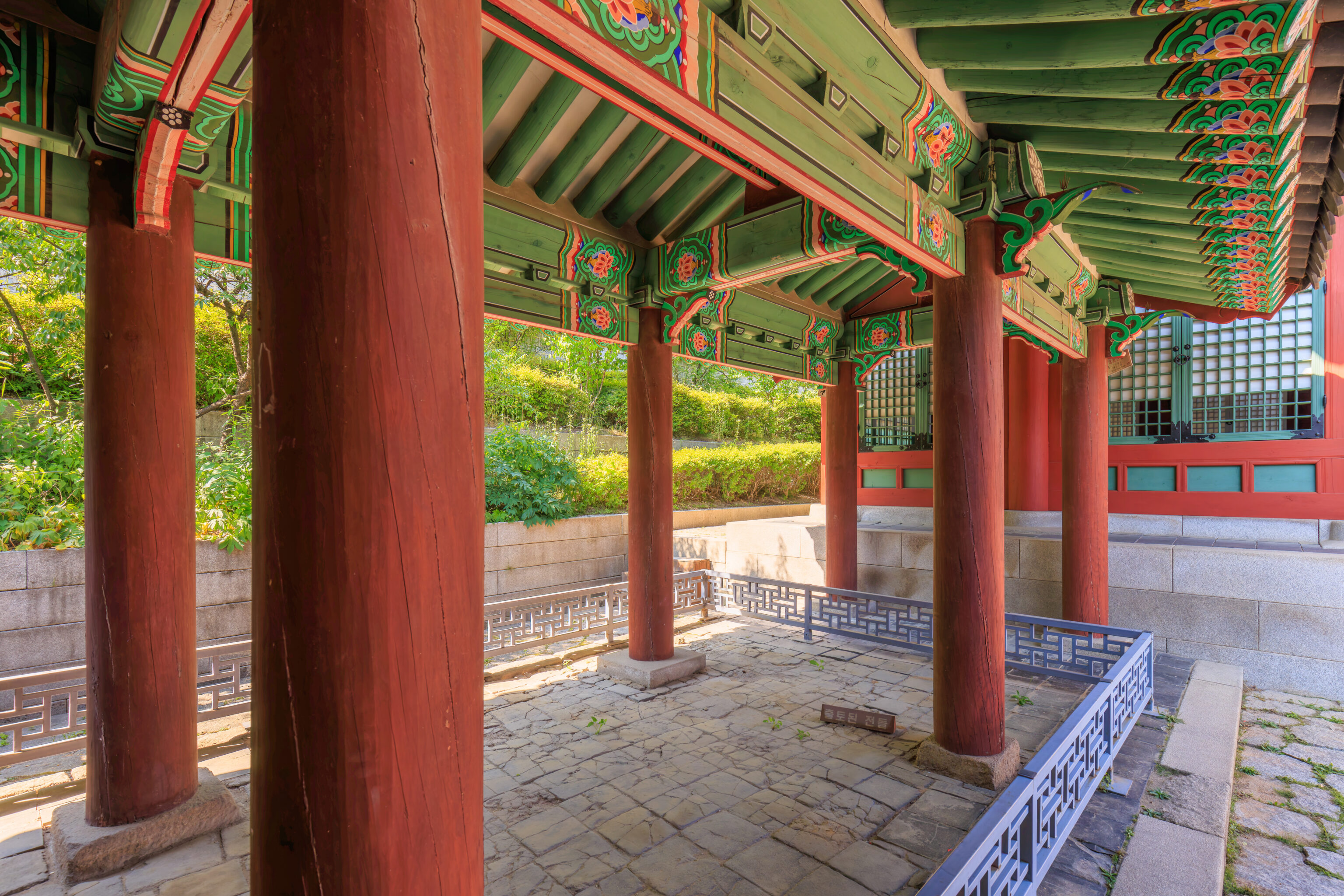
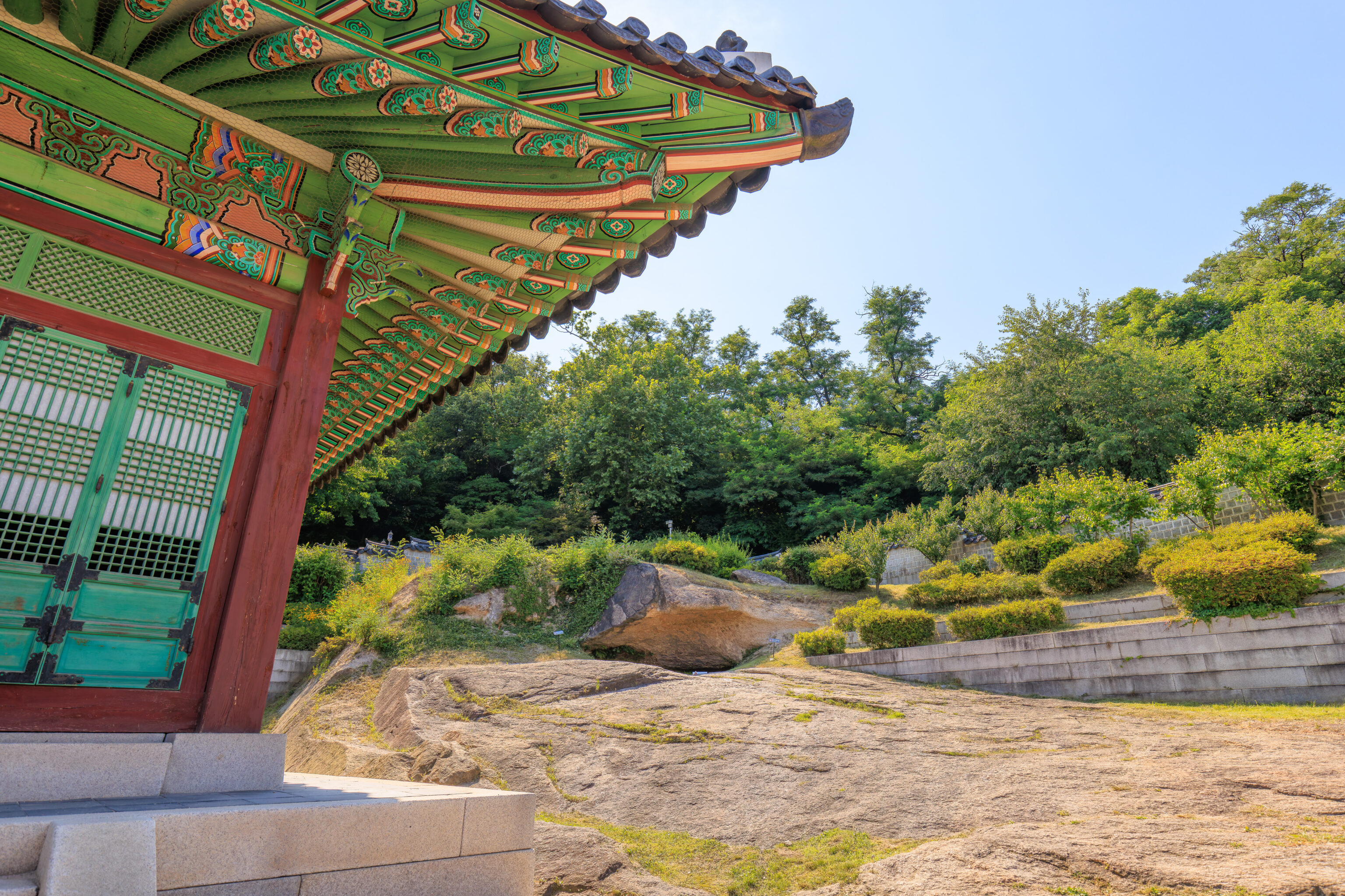
We walked around to the west side of the Sungjeongjeon.
We looked into Sungjeongjeon through the “windows” on the side of the building.
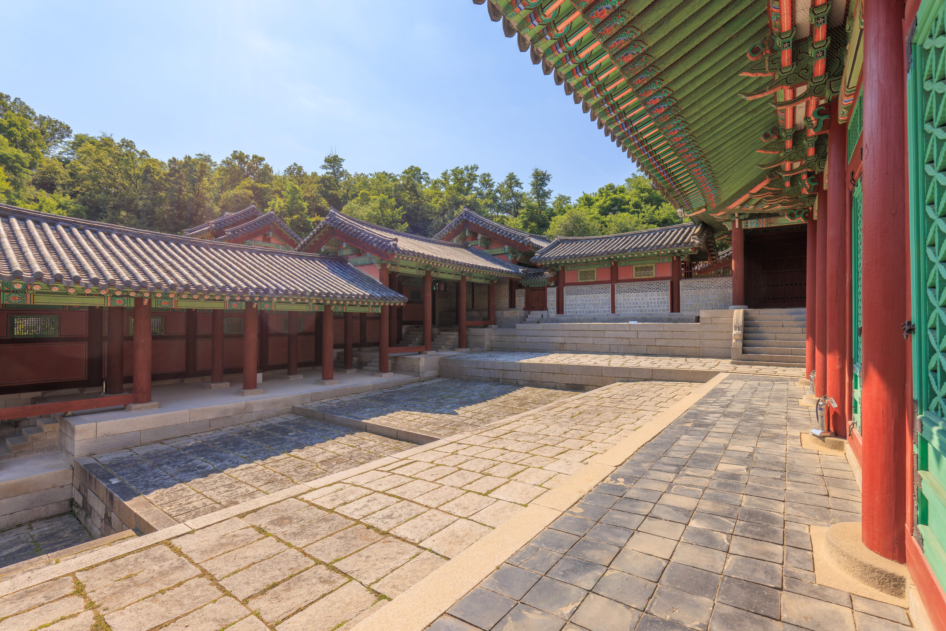
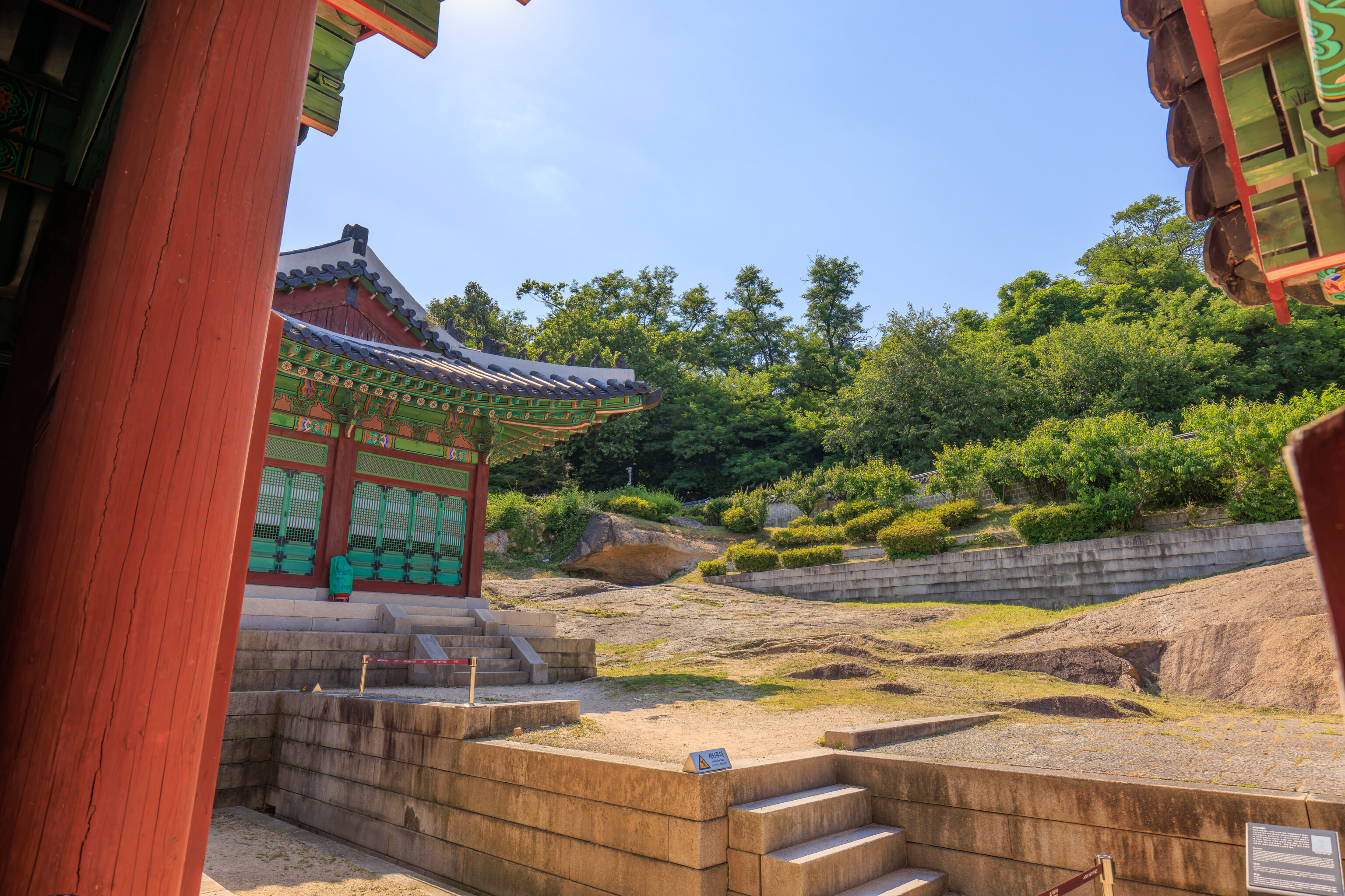
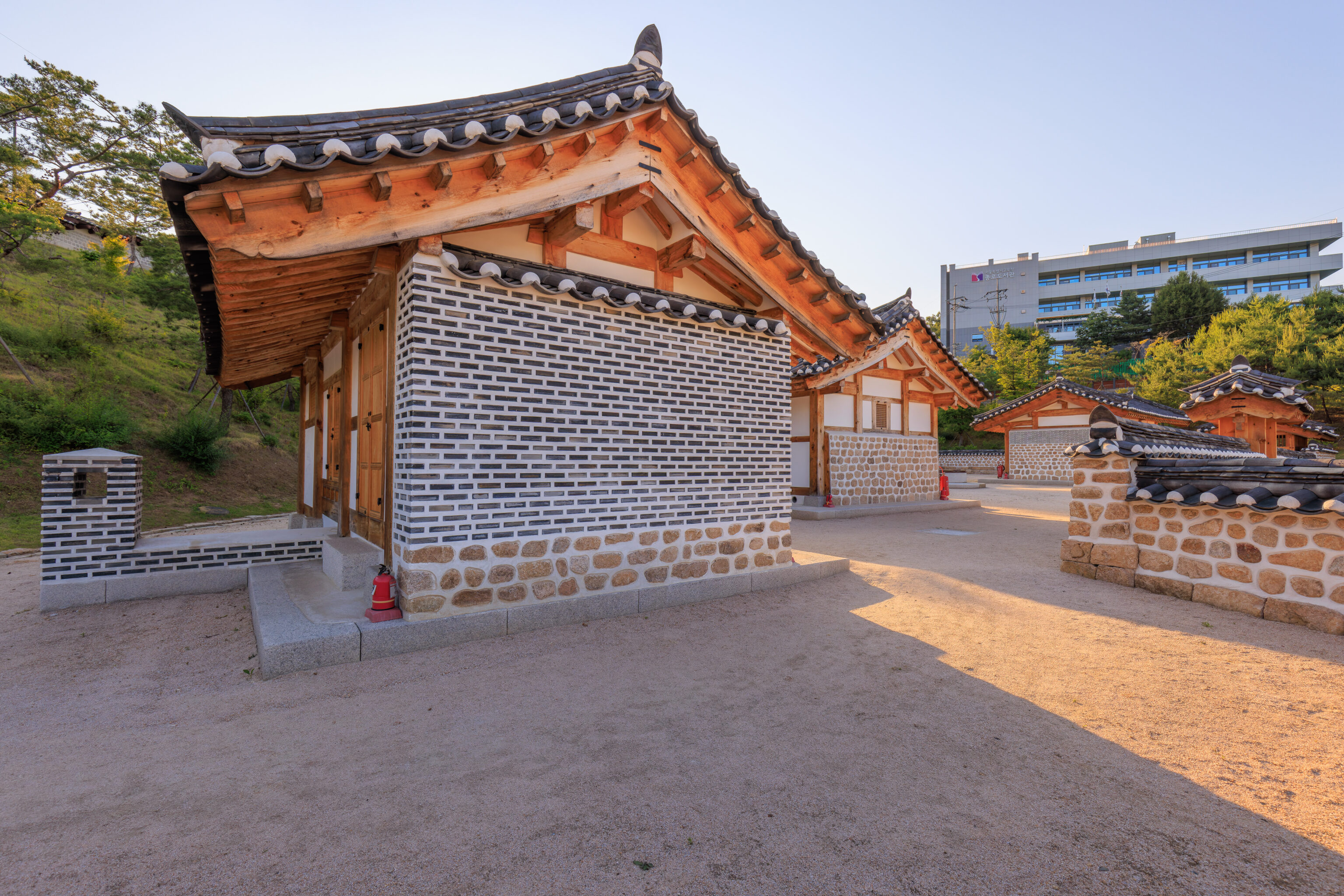
We walked through the 자정문 Jajeongmun, a gate behind the Sungjeongjeon.
The building behind the gate is the 자정전 Jajeongjeon. A sign described this building:
It contains the king's private living room. Jajeongjeon was constructed during 1617-1620. The kings held meetings with their subjects and supervised academic competitions here. When King Sukjong died, it was used as binjeon(a royal palace where the coffin of a king or a queen was preserved before a funeral bier) and the eojin(royal portrait) or memorial tablet of late kings were temporarily preserved here, too. The Imperial Japan demolished the place and the municipal government of Seoul discovered and verified the area. The current building was restored according to the <Seogwoldoan (sketches for the western palaces)>.
Unfortunately, there wasn’t anything to see inside.
The small sign in the fenced off area says it is excavated stone.
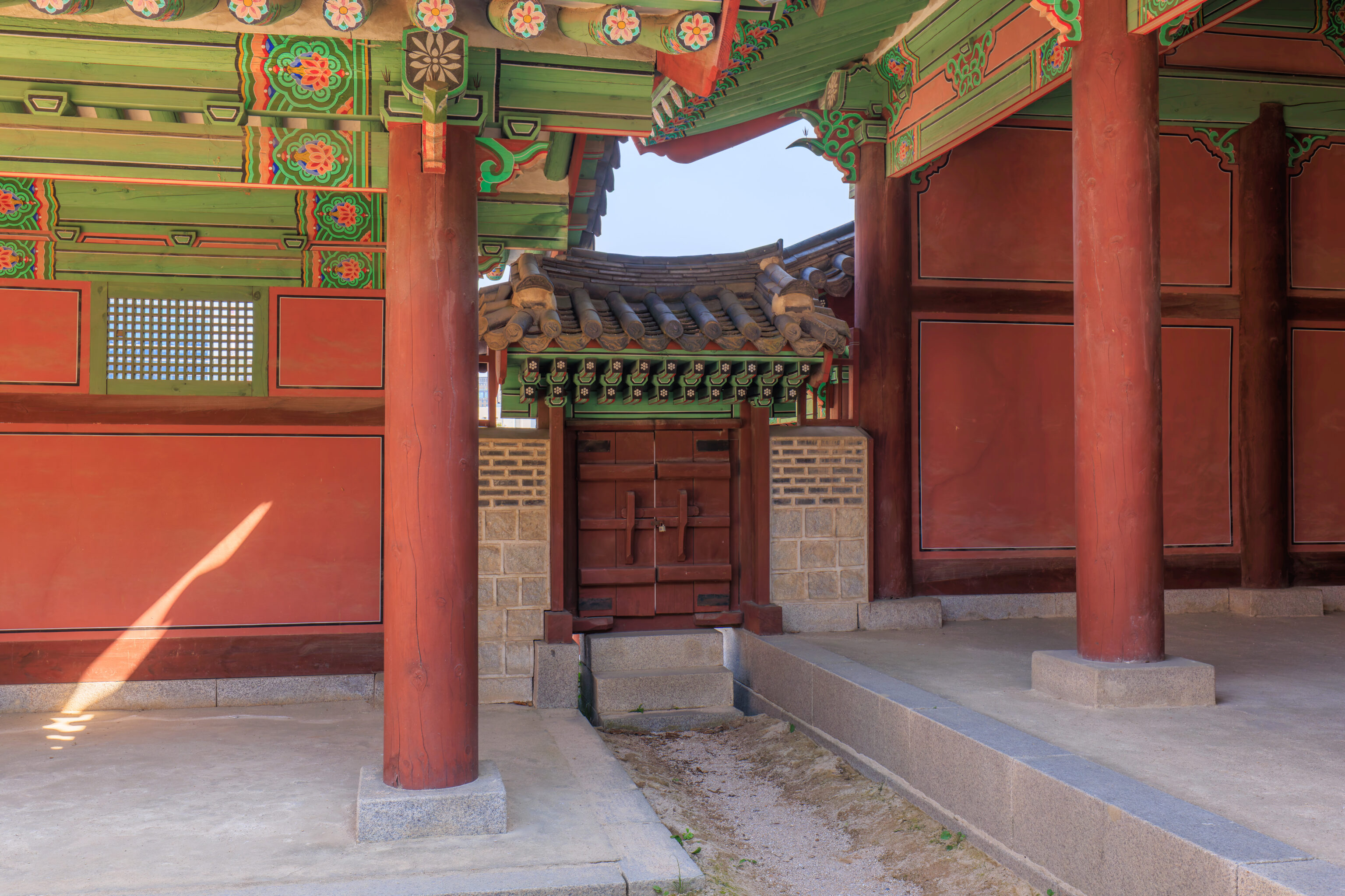
We walked past this little closed gate.
The stone area visible here in the background is apparently famous. A sign tells the story:
Originally called Wangam, Seoam refers to the rock located behind Taeryeongjeon. It is famous for its unique shape and natural fountain called, Amcheon, which flows within the rock. Its name is attributed to a common saying the Gwanghaegun had established Gyeonghuigung Palace here. In 1708 (King Sukjong 34th Year), it was renamed as Seoam and King Sukjong wrote the name 'Seo-Am' in Chiniese characters in person and has them engraved on a stone in a grand fashion. The stone named 'Sabangseok' where the same 'Seo-Am' was engraved is today housed in the National Palace Museum of Korea.
We visited the National Palace Museum on this trip but don’t recall seeing any engraved stone. It’s possible we saw it and didn’t really pay attention, or we simply missed it, or it was in one of the areas being renovated.
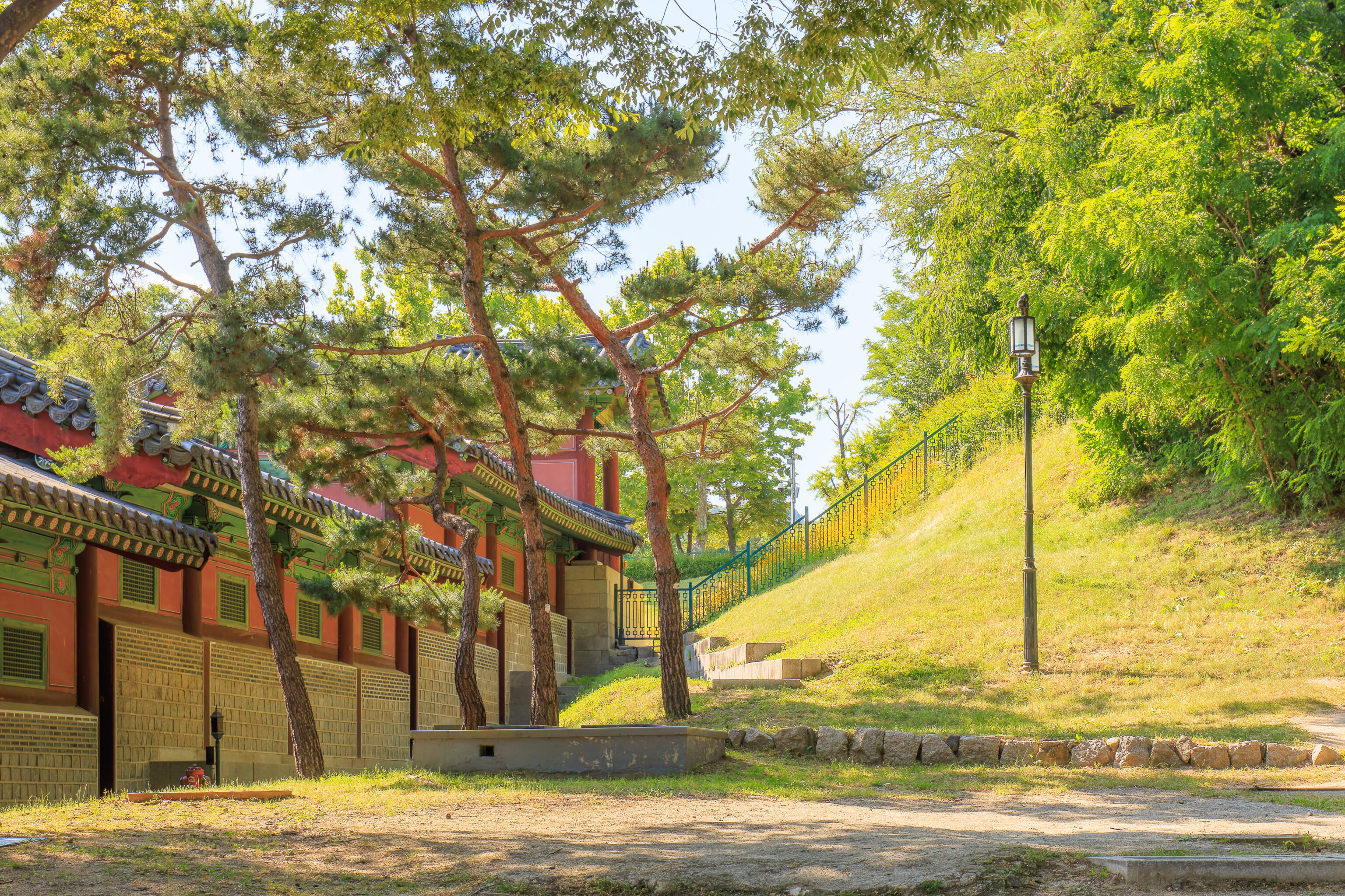
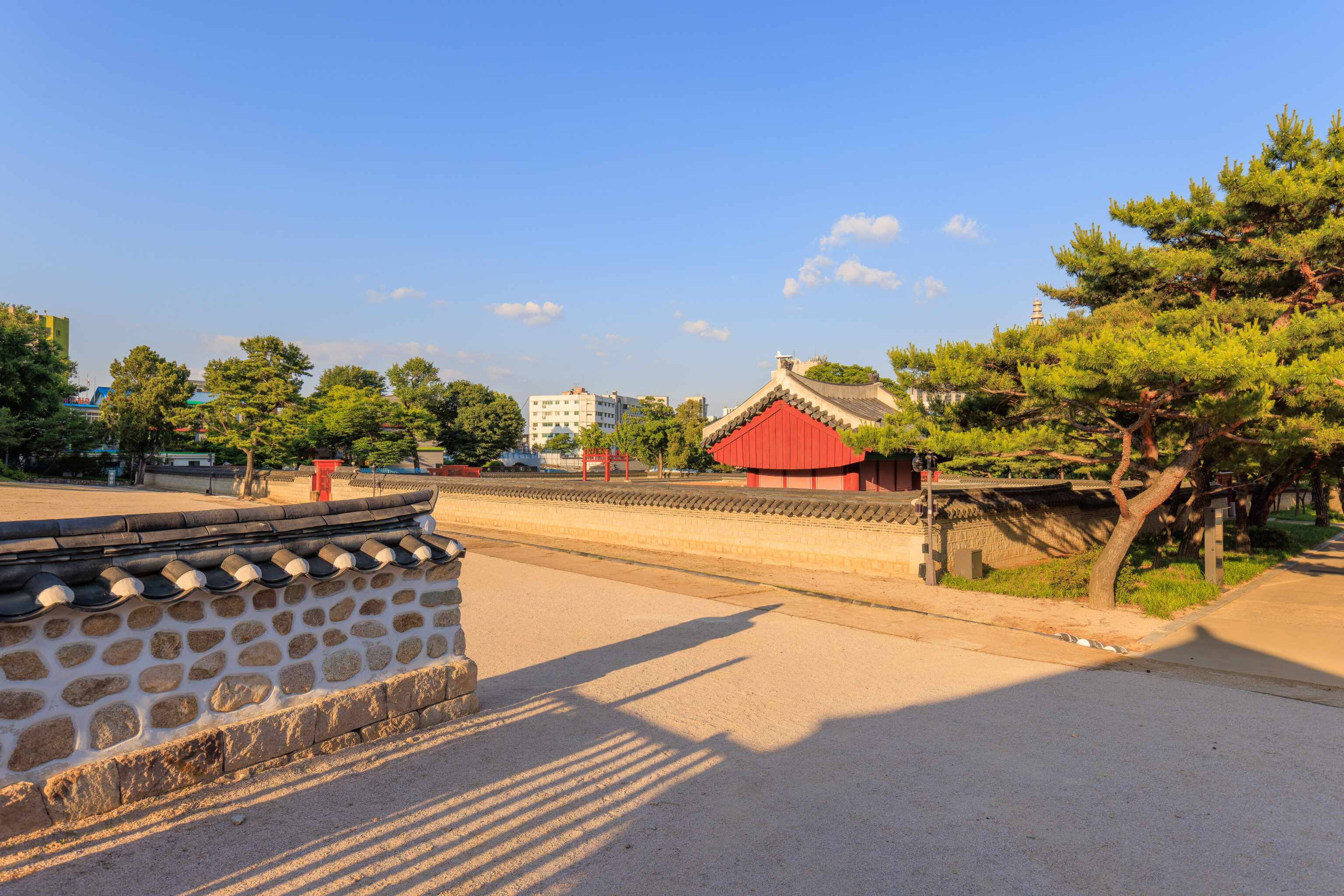
This building, the 태령전 Taeryeongjeon, was the final building in the palace. We sat here in the shade for awhile. The purpose of this building seems to house the King’s portrait. There is a portrait inside, though it photographed poorly due to the darkness inside and the light reflecting on the glass that surrounds the portrait.
This was the view in front of us. At some point, someone who was staff arrived. He said something, though we’re not really sure what was said. It seemed the interpretation was that the park was closing, though, we’re not sure. The other people that were here headed out so we did too.
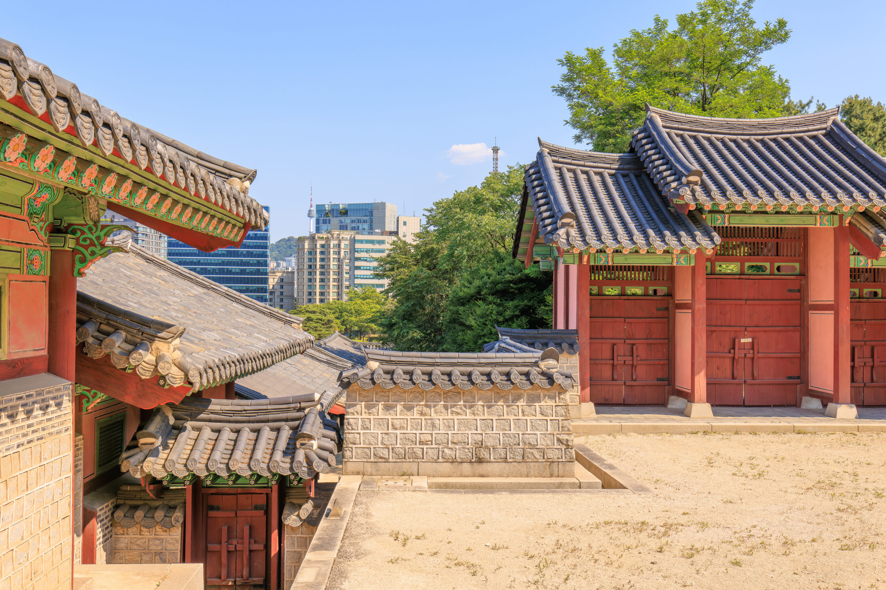
We ended up on the northeast side of the Sungjeongjeon. We did see other people who seemed to have just arrived so its likely the interpretation of whatever the staff said was incorrect.
We walked through a gate on the northeastern wall of the courtyard. From there, looking to our left, we could see a flower covered hill behind a fence.
We followed an unpaved path which led to the east on a hill above the Seoul Museum of History’s parking lot.
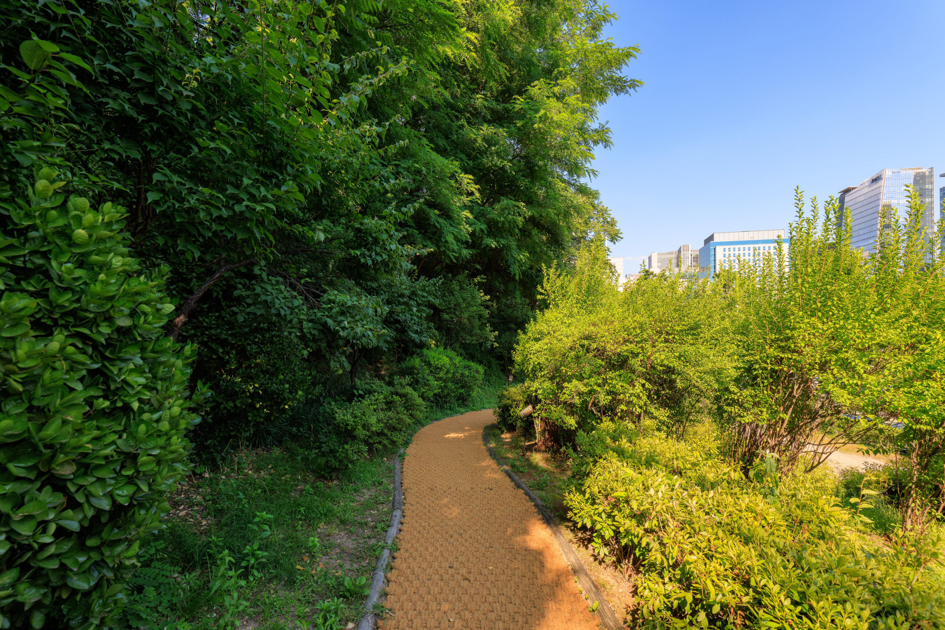
There was quite a bit of foliage along the path, including some taller trees that provided some nice shade.
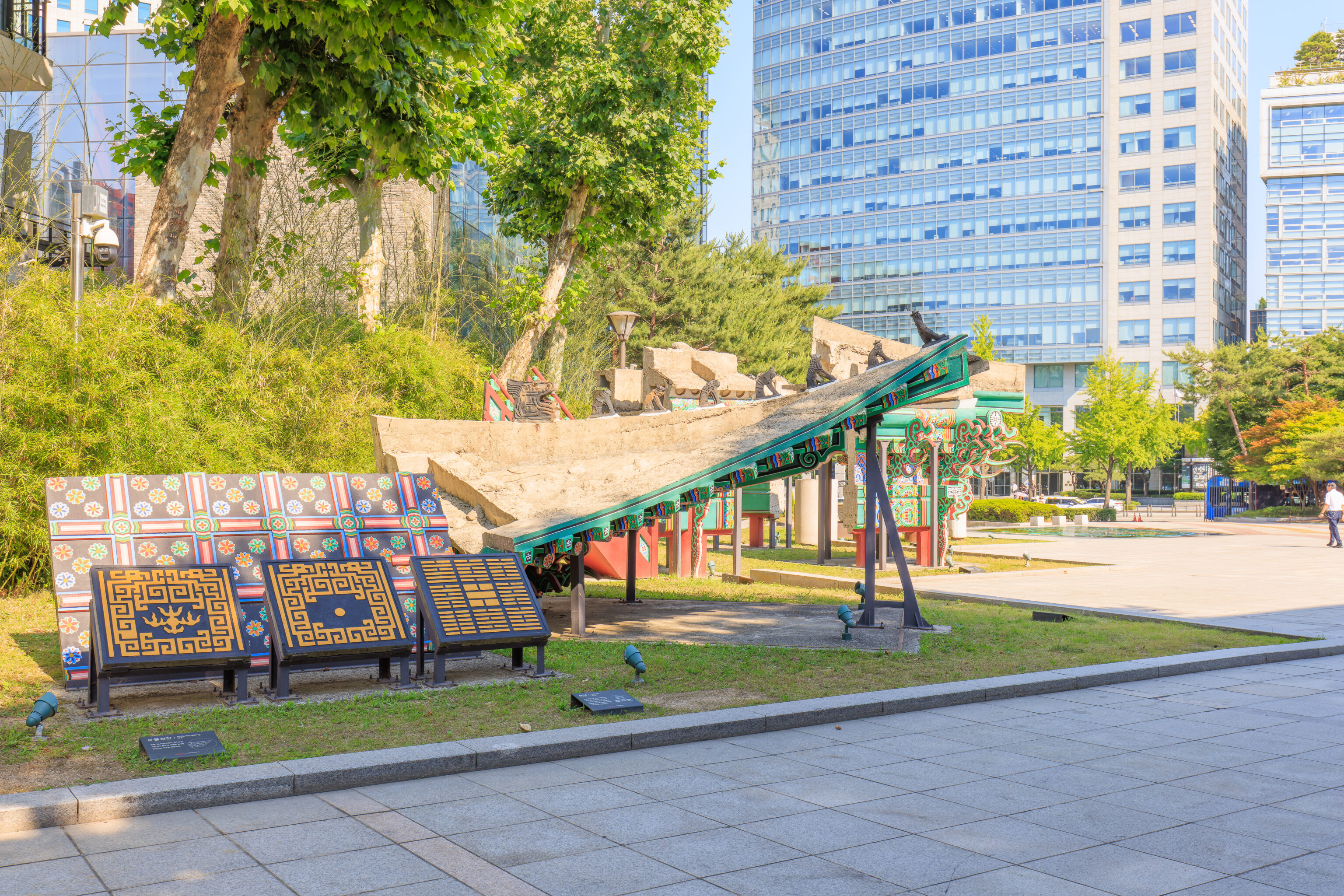
We ended up at the plaza on the east side of the Seoul Museum of History. This is the same plaza that we saw when we got off the bus earlier. Various palace building components were on display. On the right, the large piece is an angle rafter and fan-rib rafter:
The roof's eaves and rafters, arranged in a fan-shaped shape, were used as a structural element to create a space for processing the soil inside the roof, and the rafters were hung from the ceiling.
To the left, the larger single piece that is behind the three tiles is a coffered ceiling:
The well-shaped decorative ceiling was made of a single-piece concrete structure with the frame and boards.
Finally, the three tiles are parts of a parapet:
It is a low wall on top of a land structure, and the Taegeuk 8 Trigrams pattern (heaven, earth, fire, water, pond, thunder, wind, mountain) and the brick wall part were made of concrete panels and used as formwork.
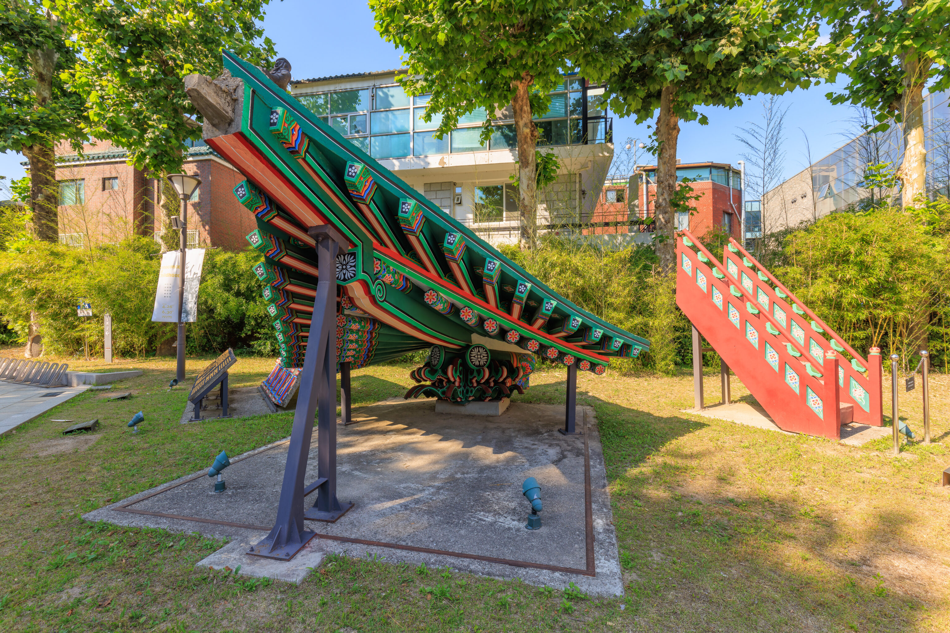
The angle rafter and fan-rib rafter, as seen from the side.
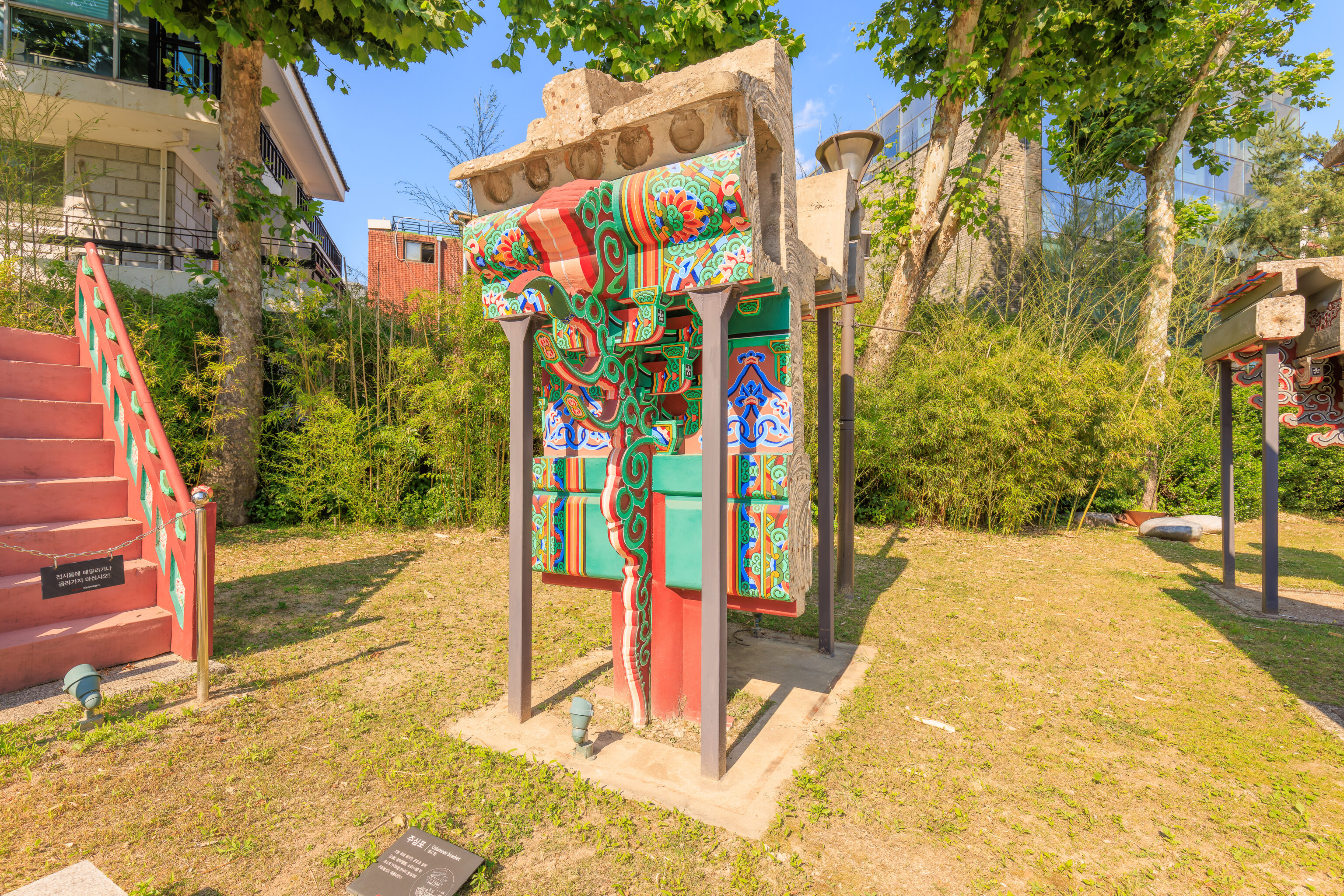
This next piece is a columnar bracket:
The method of assembling each element of Salmi [山彌], Cheomcha [檐遮], and Soro [小], placed on top of a pillar, was also applied to concrete structures
This seems to refer to how the pieces interlock?
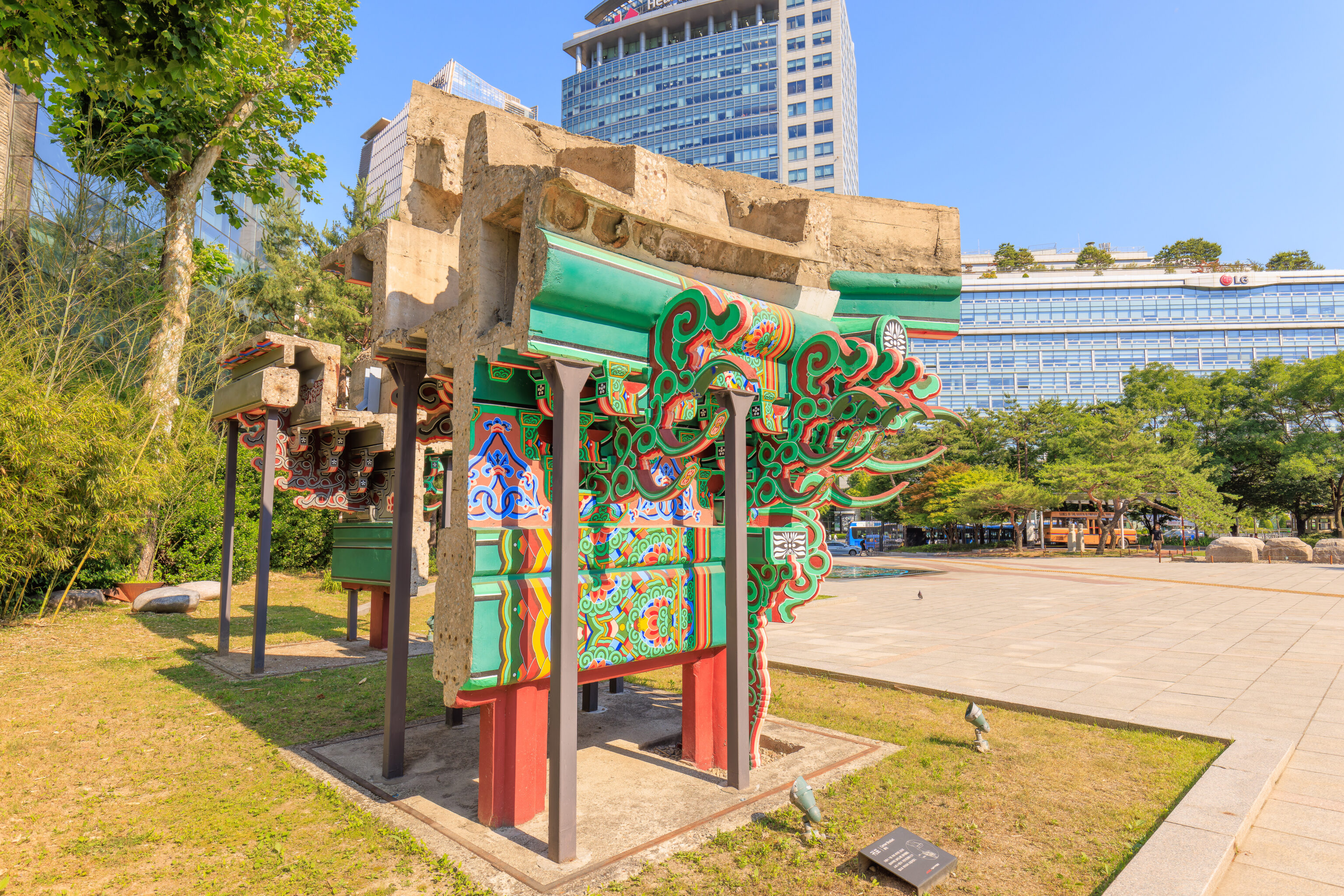
This is a corner bracket:
The corner pillars were placed on top of the pillars, and the absence of the pillars, such as Salmi, Cheolcha, Soro, and Gwihandae, were manufactured separately and assembled.
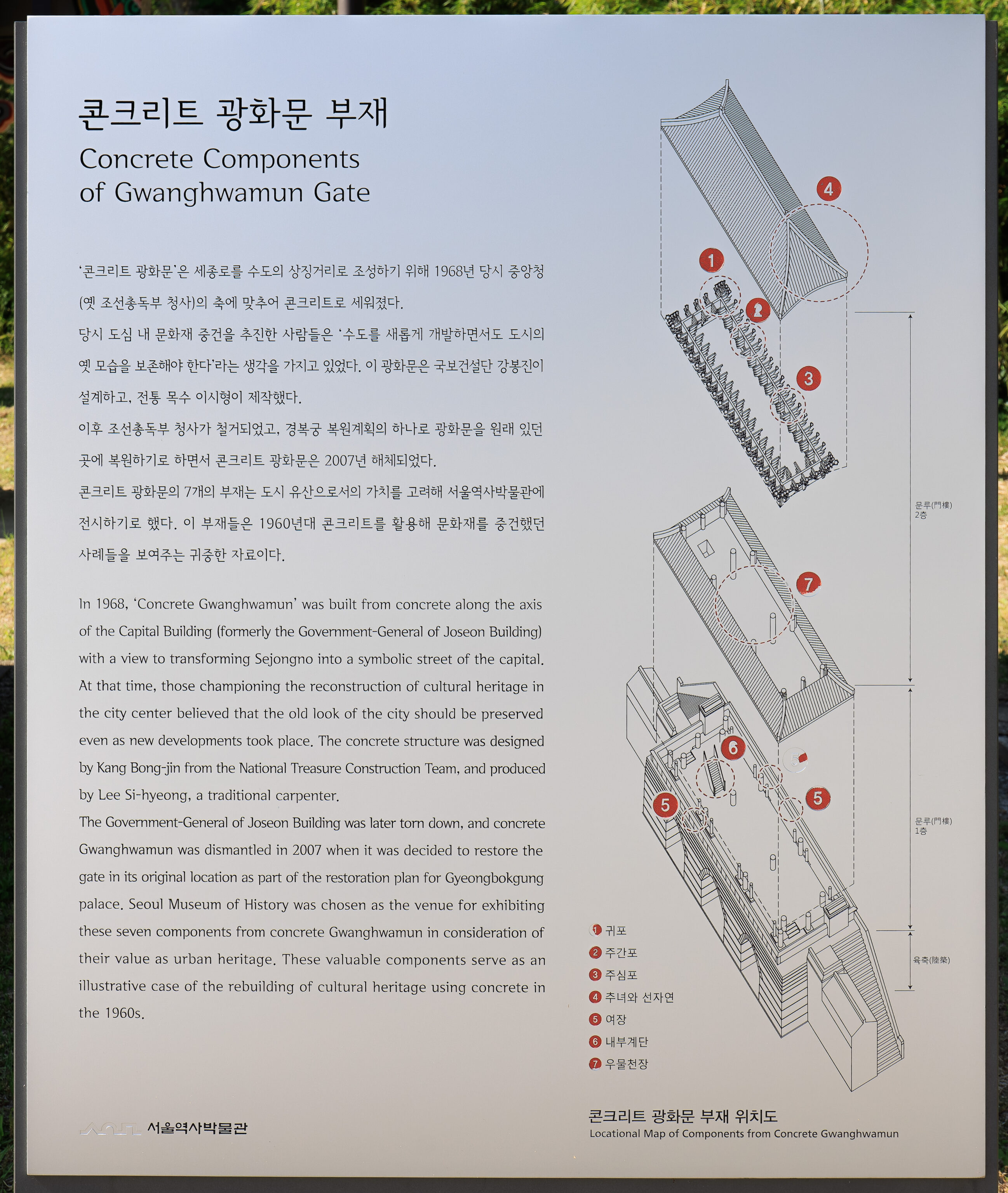
This sign explains that the parts we see here are pieces from a past, concreate reconstruction of Gwanghwamun. The text in English reads:
In 1968, Concrete Gwanghwamun' was built from concrete along the axis of the Capital Building (formerly the Government-General of Joseon Building) with a view to transforming Sejongno into a symbolic street of the capital. At that time, those championing the reconstruction of cultural heritage in the city center believed that the old look of the city should be preserved even as new developments took place. The concrete structure was designed by Kang Bong-jin from the National Treasure Construction Team, and produced by Lee Si-hyeong, a traditional carpenter,

The Government-General of Joseon Building was later tom down, and concrete Gwanghwamun was dismantled in 2007 when it was decided to restore the gate in its original location as part of the restoration plan for Gyeongbokgung palace, Seoul Museum of History was chosen as the venue for exhibiting these seven components from concrete Gwanghwamun in consideration of their value as urban heritage. These valuable components serve as an illustrative case of the rebuilding of cultural heritage using concrete in the 1960s,
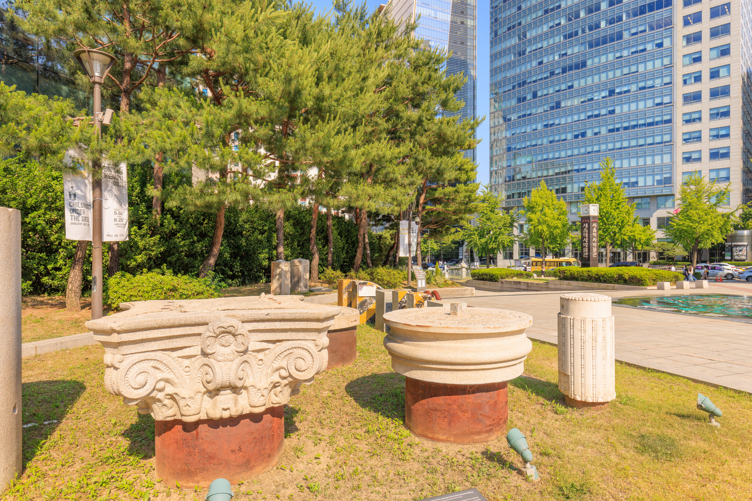
These column pieces are from the Japanese Government-General Building, which was demolished in 1995. A sign describes the history of this building:
Parts of Remains of the Japanese Government-General Building Donated by the Independence Hall of Korea

These column parts and capitals are among the remains of the Japanese Govemment-General Building in Korea, which was tom down on August 15, 1995 on the occasion of the 50th anniversary of the Natiorial Liberation. Its demolition was part of an initiative to remove vestiges of Japanese colonial rule and restoration of the national spirit of Korea.

The Imperial Japanese Government constructed the Government-General Building inside the compound of Gyeongbokgung, which was the main palace of the Joseon Dynasty (1382-1910). The construction of the building lasted 10 years, between 1916 and 1926, and gate Heungryemun as well as various colonnaded buildings between Gwanghwamun(the main outer gate on the South Wall) and Geunjeongmun (the south gate to the throne hall courtyard) were destroyed in the process.

Immediately after National Liberation in 1945, this building was used as the office of the U.S. Military Government, and subsequently it served as the main office building for the Republic of Korea central government from its establishment in 1948 until 1982. The National Museum of Korea was housed in the building from August 1986 until it was dismantled in 1995-1996.
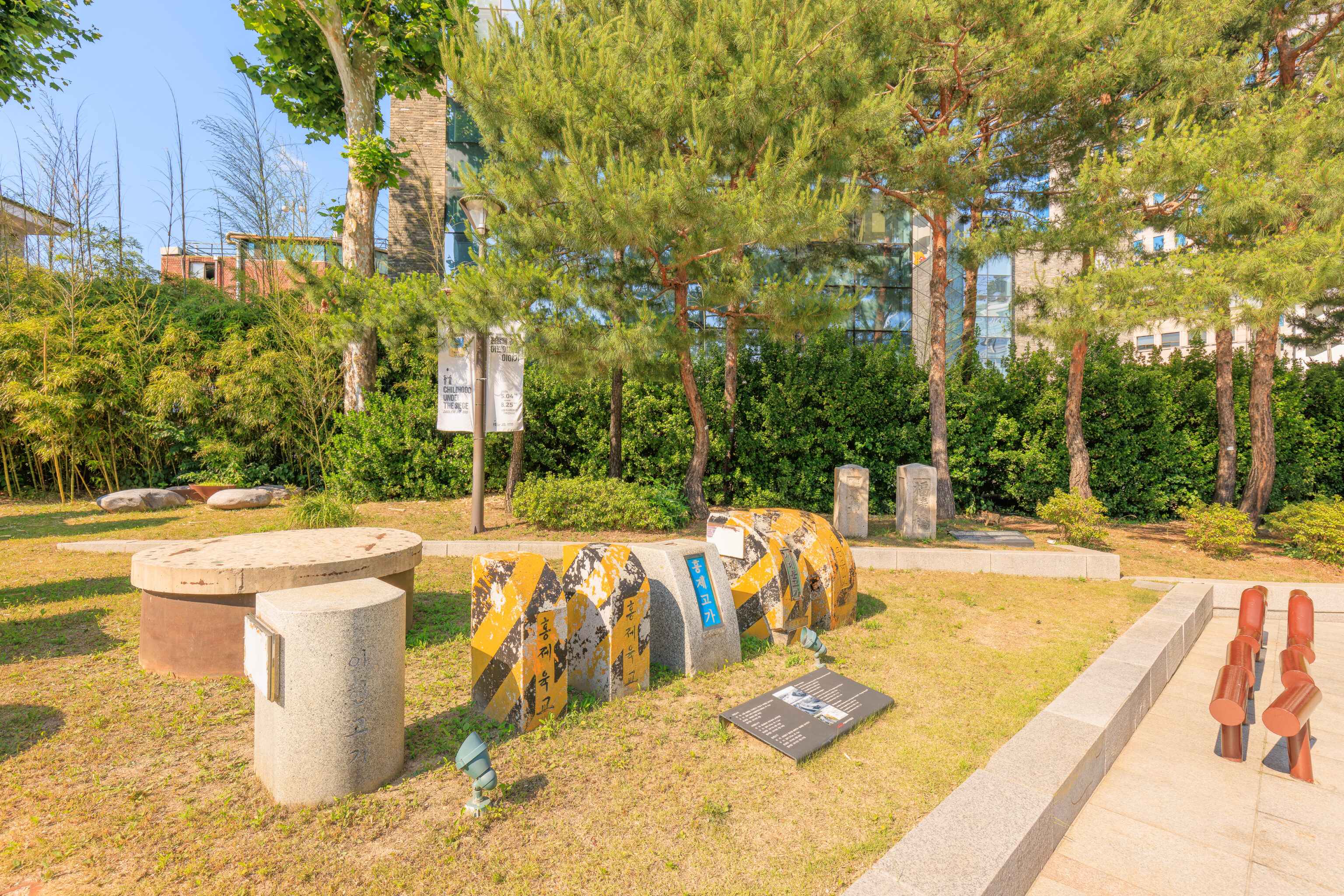
These are pieces of elevated highways in Seoul that were demolished:
Ahyeon overpass
Location: Seoul Jungnim-dong 154 ~ Mapo-gu, Ahyeon-dang 267
Scale: length 548.7m, width 15m
Completion Date: 1968. 9. 19.
Demolition Date: 2014. 2.

Seodaemun overpass
Location: Intersection of Chungjeongno & Uijuro
Scale: length 374m, width 11.5m
Completion Date: 1971. 4. 15.
Demolition Date: 2015. 7. 10.

Hongje overpass
Location: Seodaemun-gu Hongeun-dong 98 ~ Hongje-dong 301
Scale: length 375m, width 15m
Completion Date: 1974. 4. 30.
Demolition Date: 2012. 1. 27.
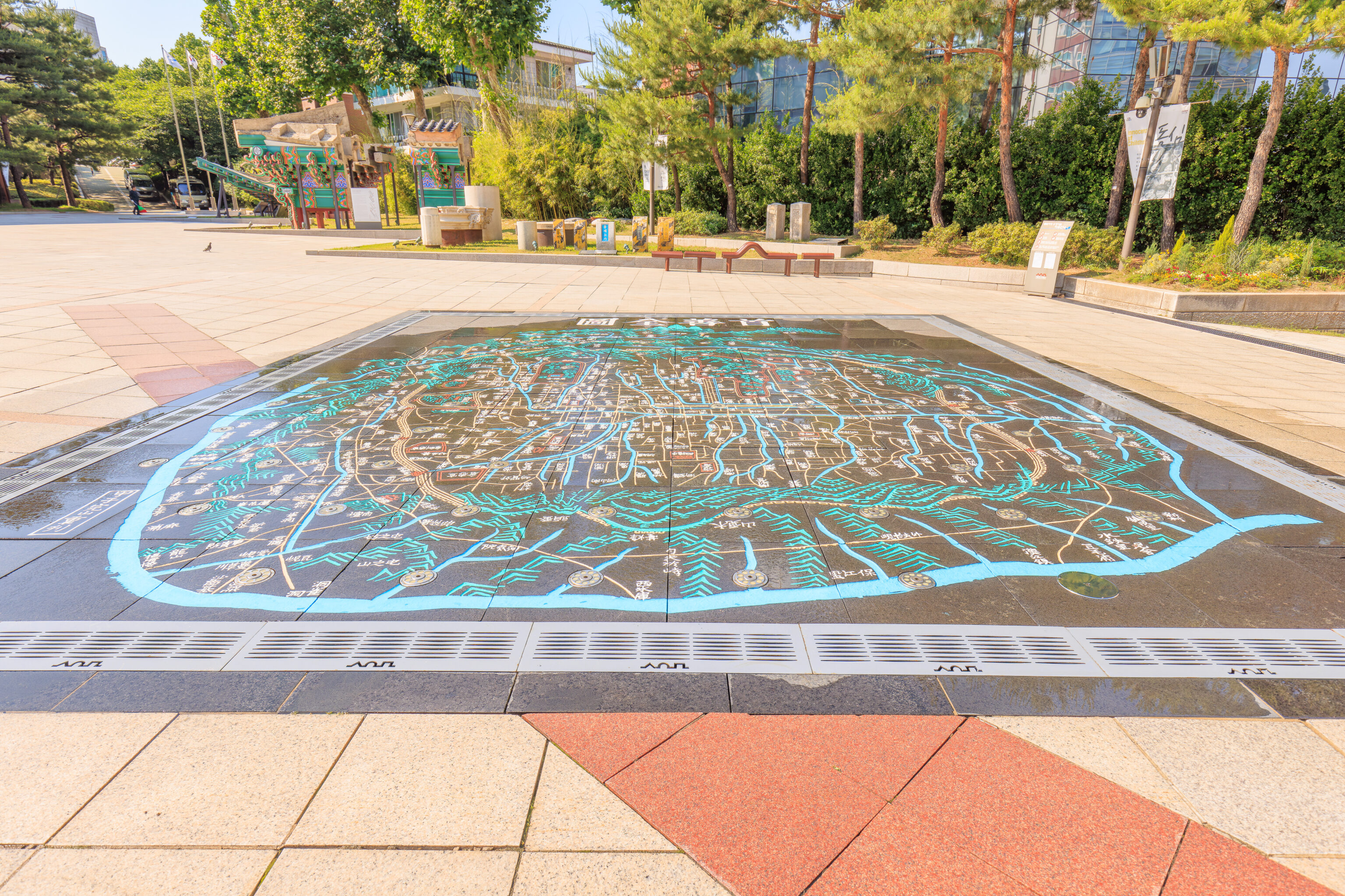
There was also a rather huge map of Seoul on the ground. A plaque embedded in the ground reads:
Suseon-Jeondo (Overall Map of Seoul)

This map is an enlarged version of the reprinted "Suseon-Jeondo", housed in the Seoul Museum of History.

'Suseon' is one of the former names for Seoul, the capital city of Korea for more than 600 years, and 'Jeondo' indicates a whole-area overview map.

Created by cartographer Kim Jeong-ho between 1824 and 1834, the Suseon-Jeondo depicts mountains, streams, fortress walls, roads, bridges and marks major structures like royal palaces, royal shrine, state altar and Buddhist temples. What is unique about it is that while the letters north of Jongno Street are inscribed facing the direction of Mt. Samgak, the letters south of Jongno are in the direction of Han River. Also, different scales are applied to the inside and outside of the city walls, thereby compressing the larger areas outside of the walls on this map.
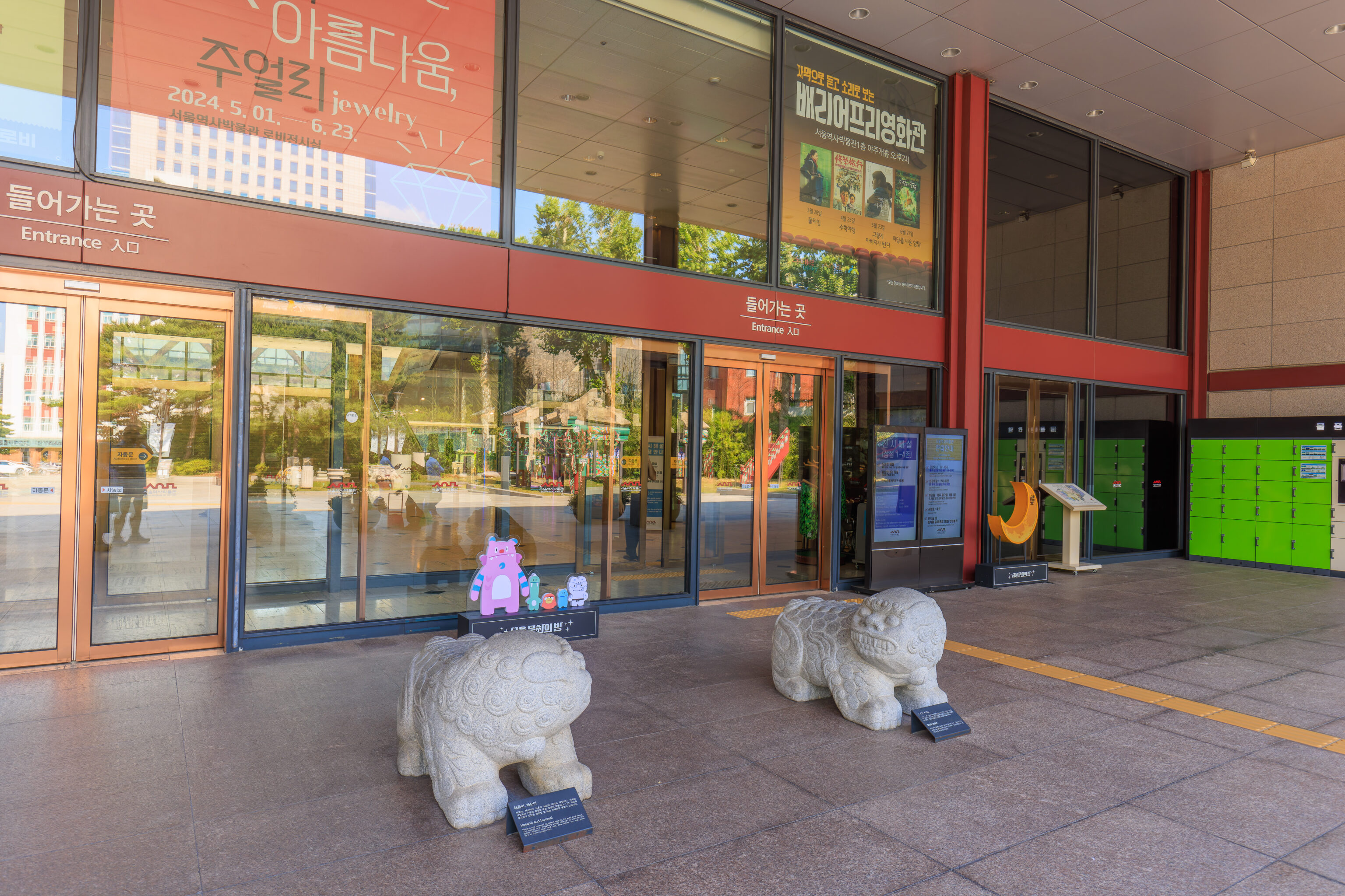
We went into the museum to take a quick look inside. The two haetae here, Haedori and Haesuni, are symbols of Seoul. The sign below the one on the left describes the pair:
Haedori and Haesuni represent Haechi, the symbol of Seoul, The Haechi Ha is an imaginary animal believed to ward off evil spirits, discern good good and and evil, and deliver joy and good luck to those around him.
Note that haechi and haetae are the same thing. Behind them, we see more symbols of Seoul, the modern-day Hechi and Soul Friends.
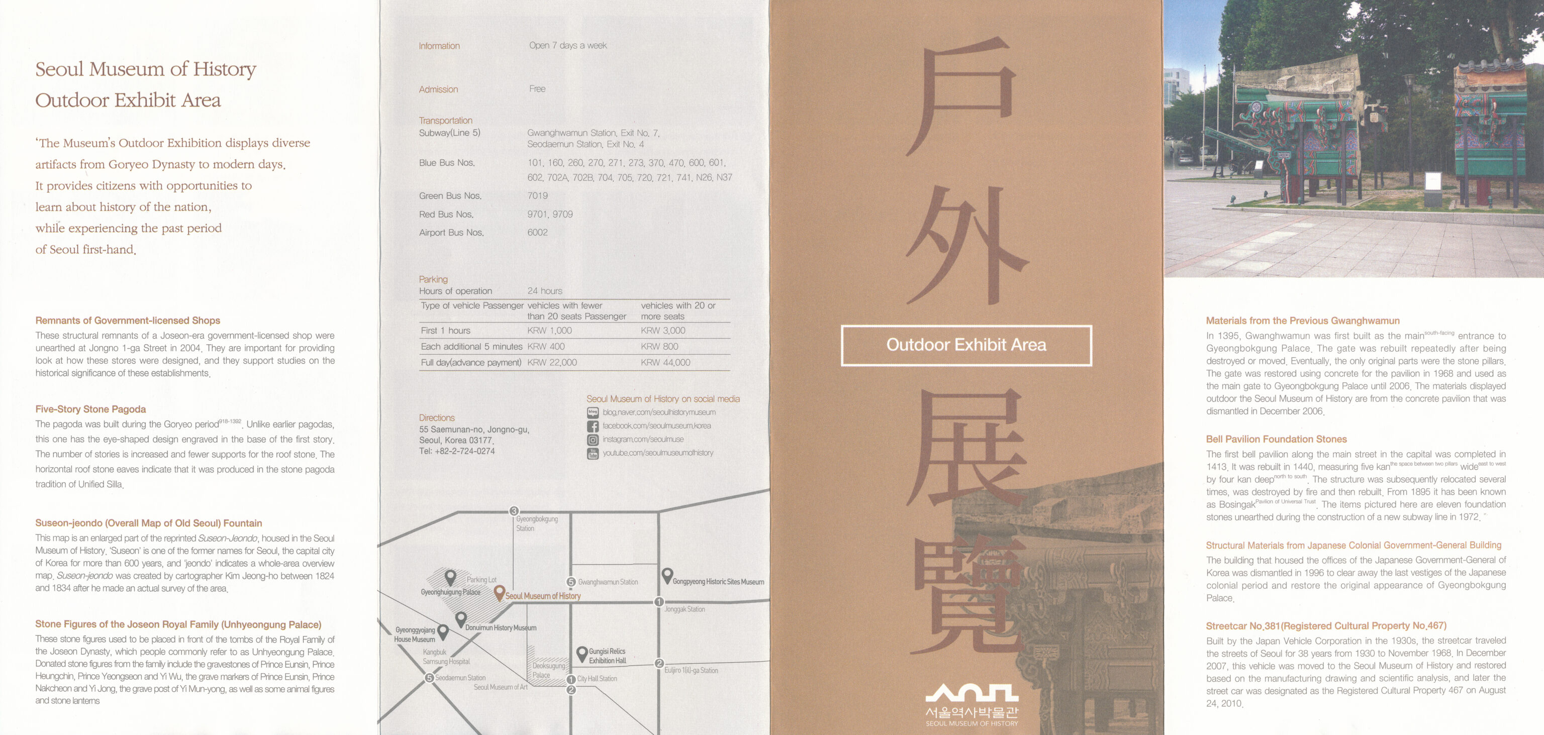
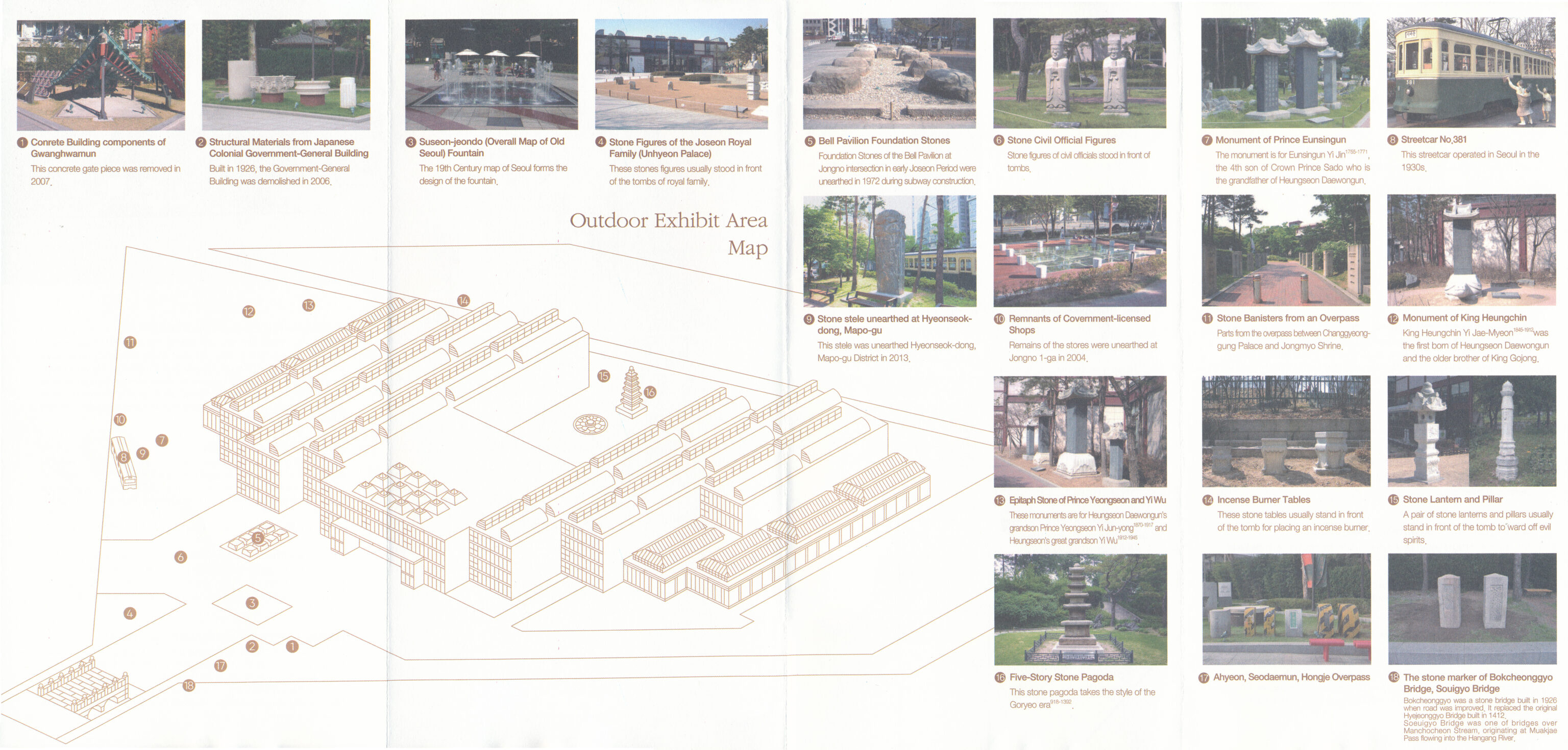
Once inside, we picked up a pamphlet that describes all the artifacts that are outdoors, some of which we’ve seen today.
We also picked up a pamphlet that describes what is inside the museum.
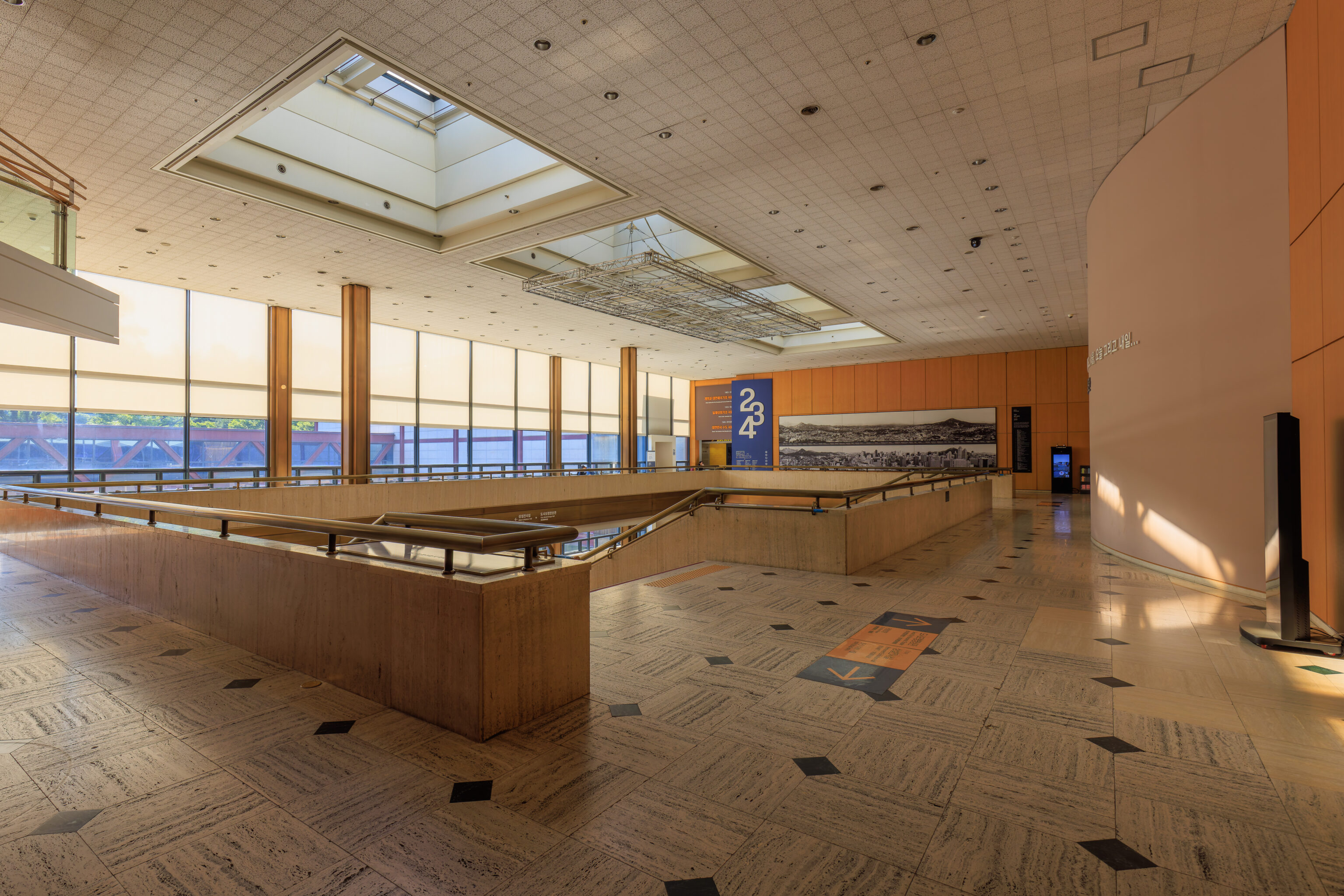
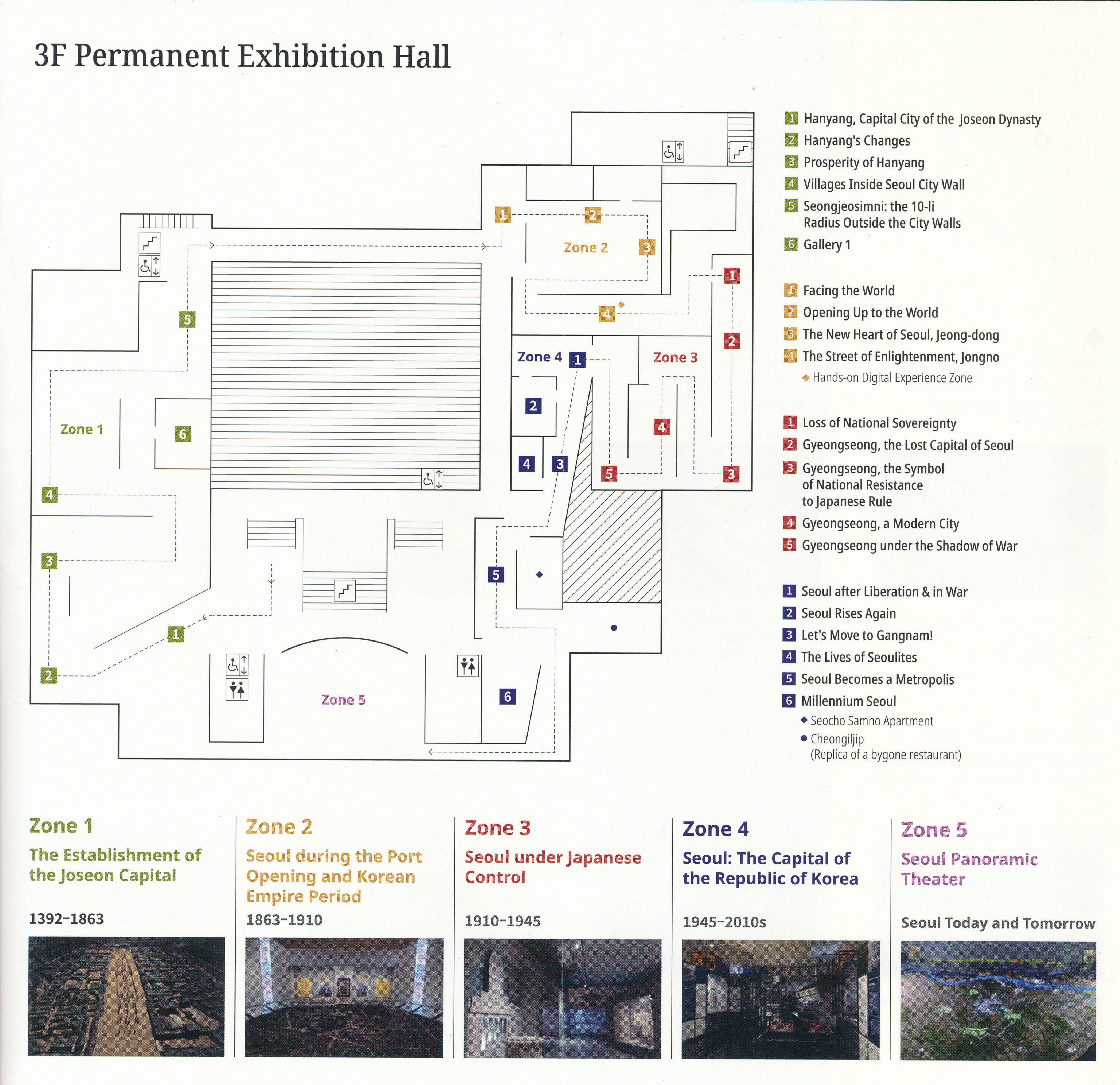
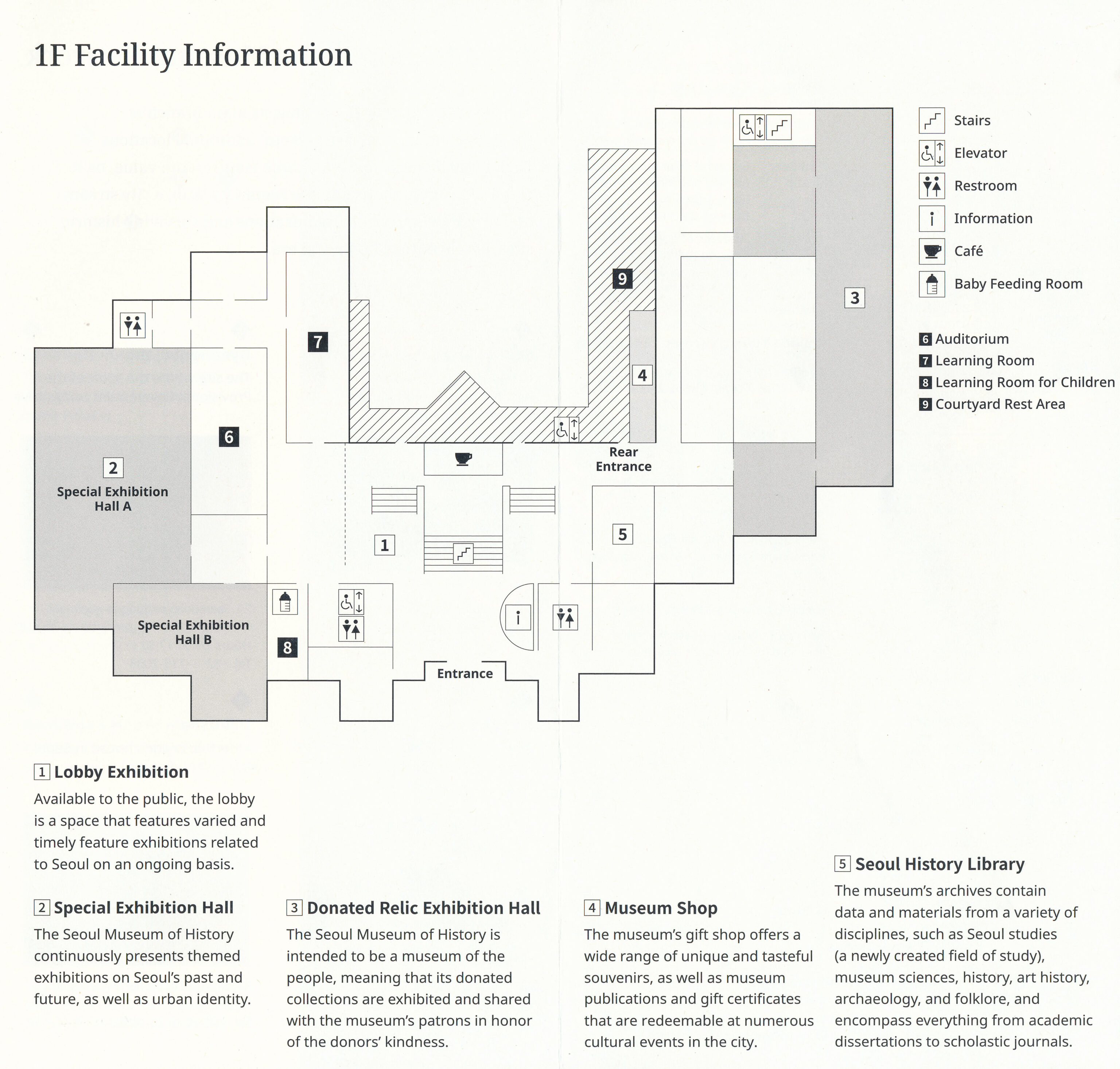
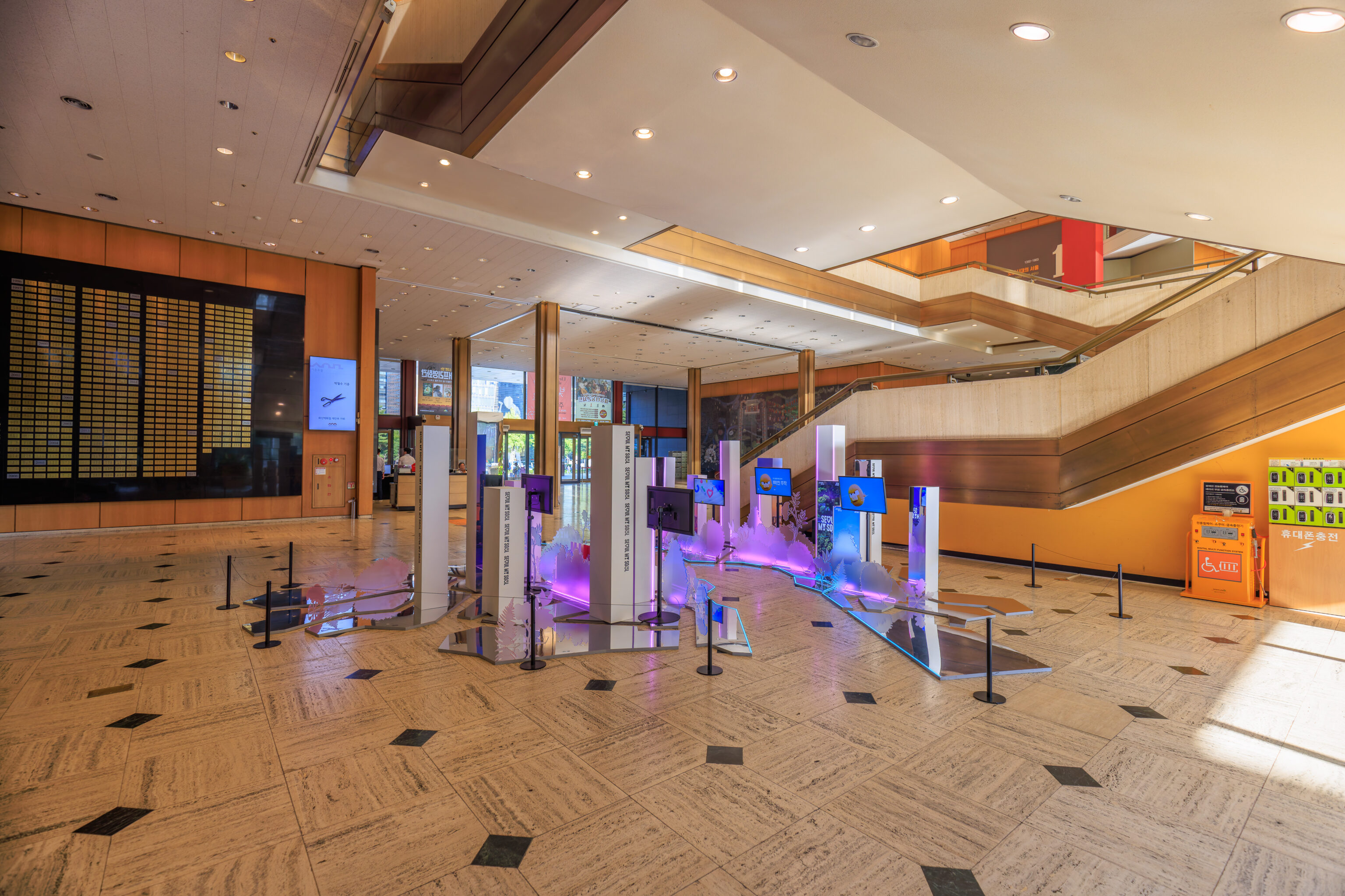
The museum building is large and spacious inside. We started on the second floor.
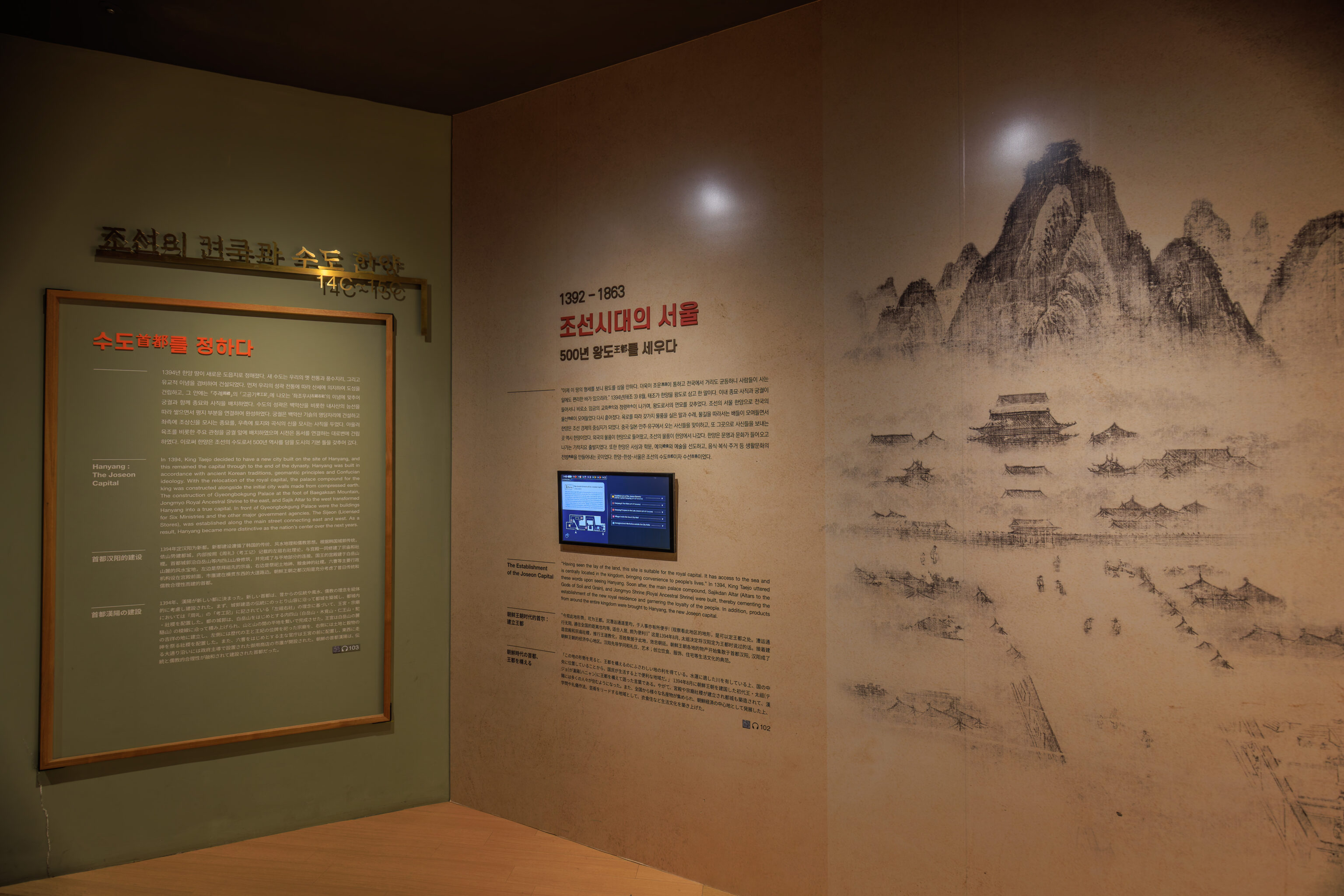
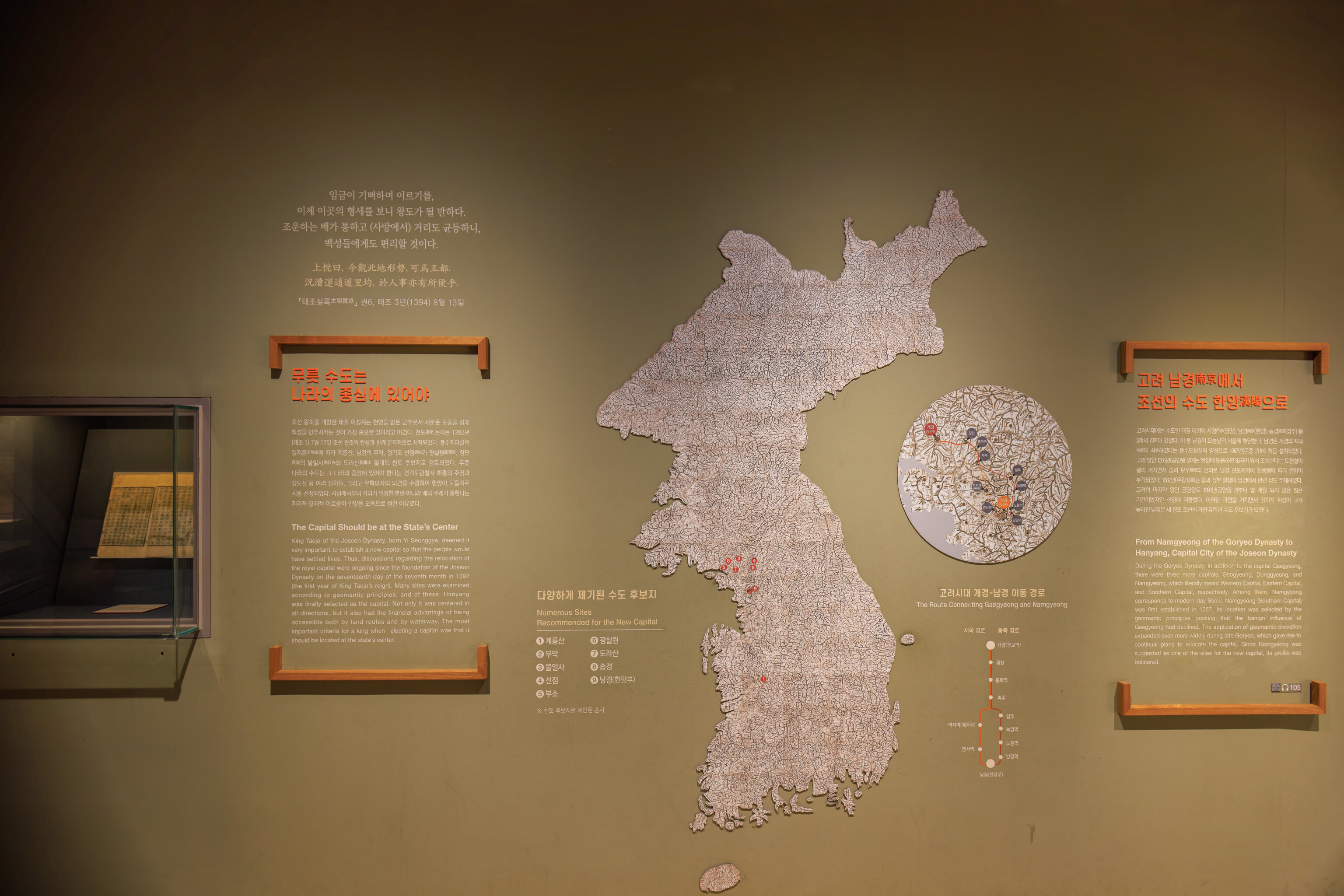
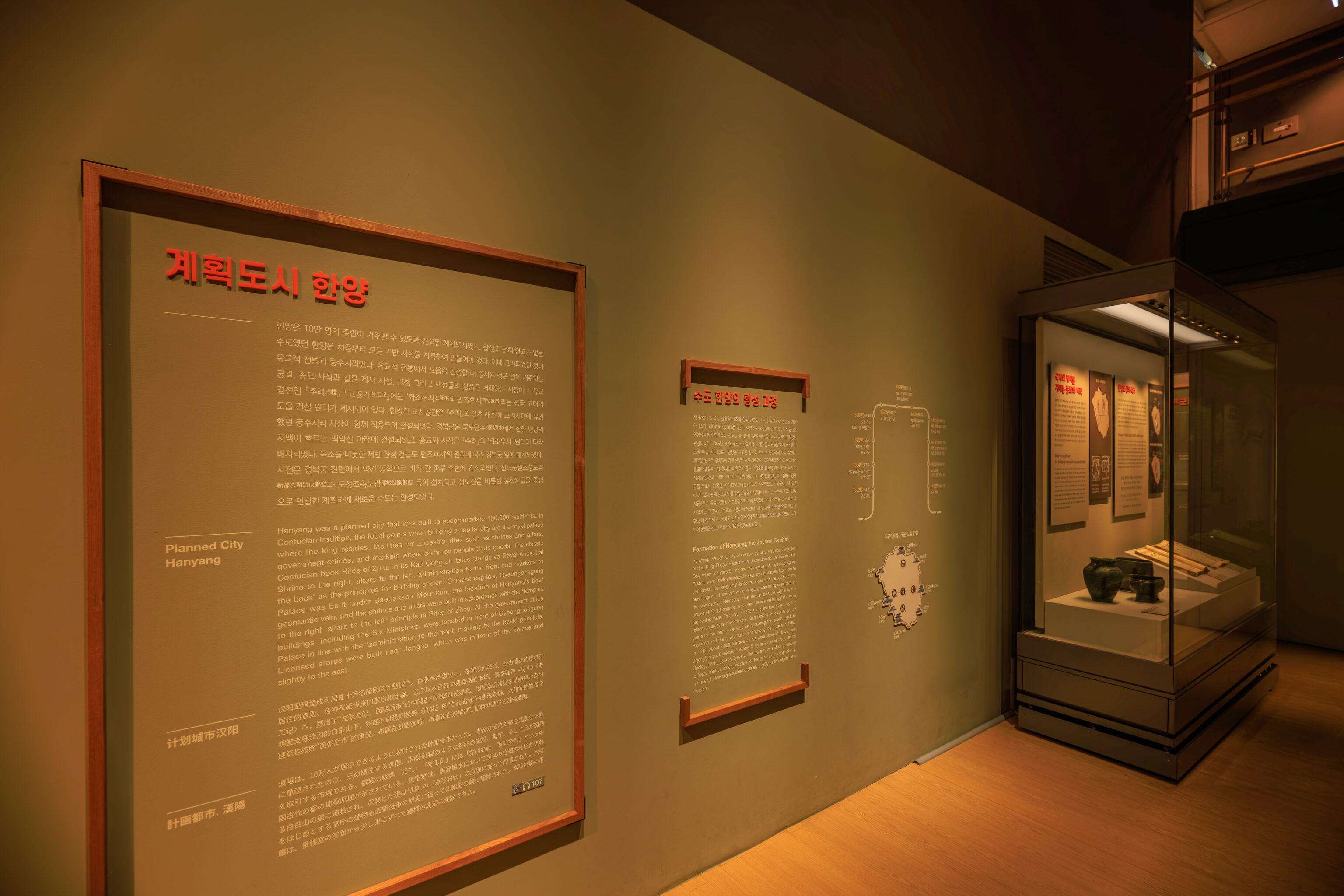
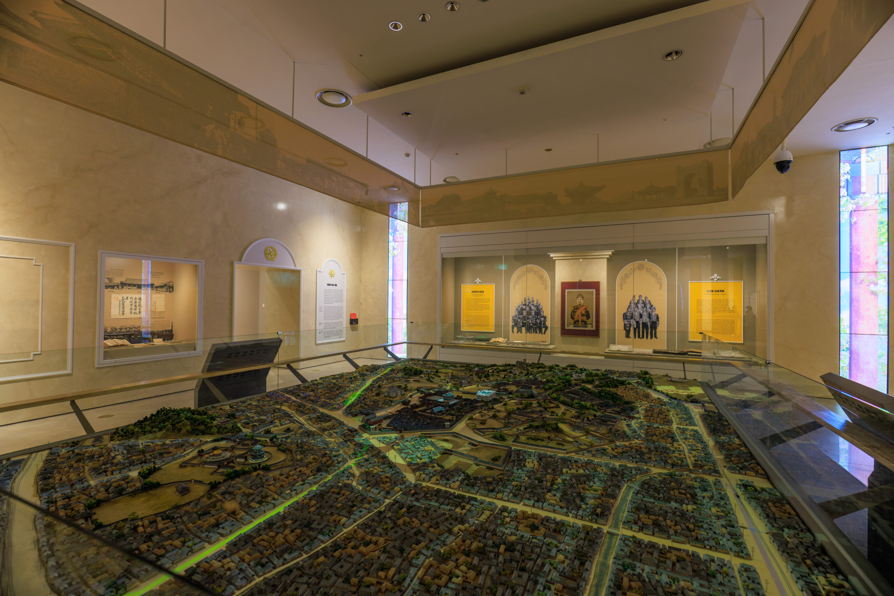
The first area documents the history of Seoul, from its beginnings in the 1390s as the new site of the capital of the Joseon Dynasty.
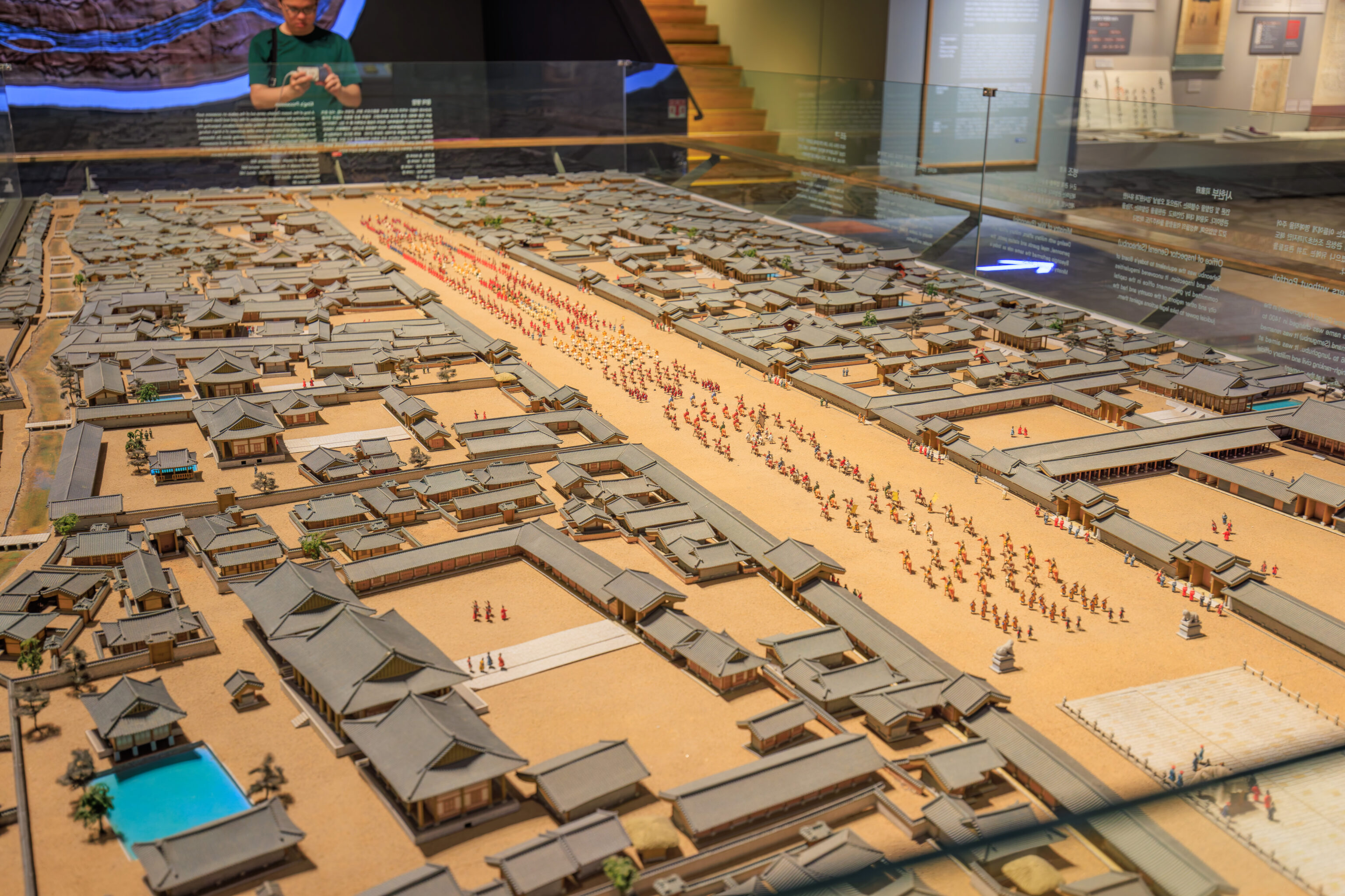
The city is depicted on this map, including the city’s surrounding wall.

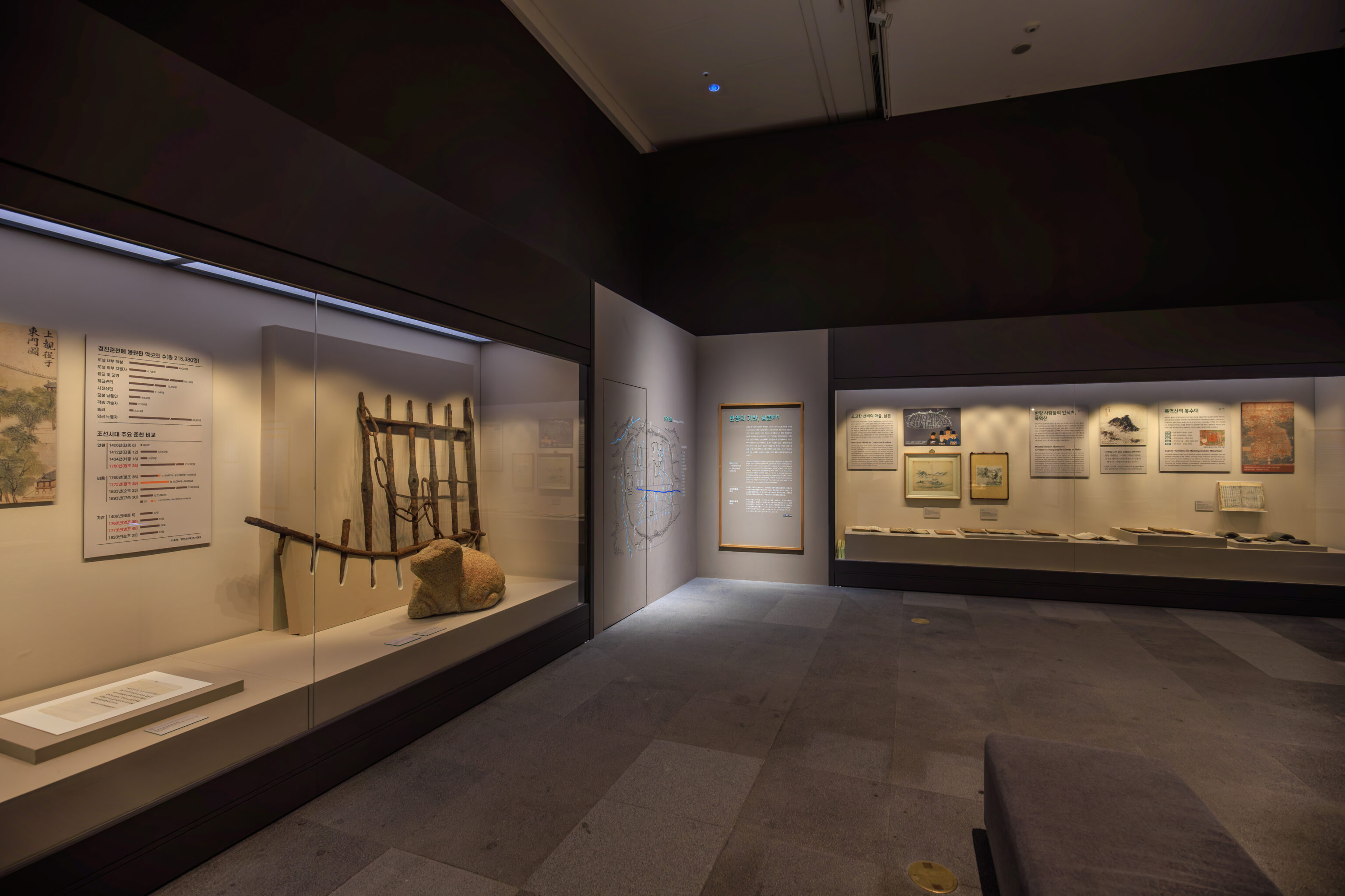
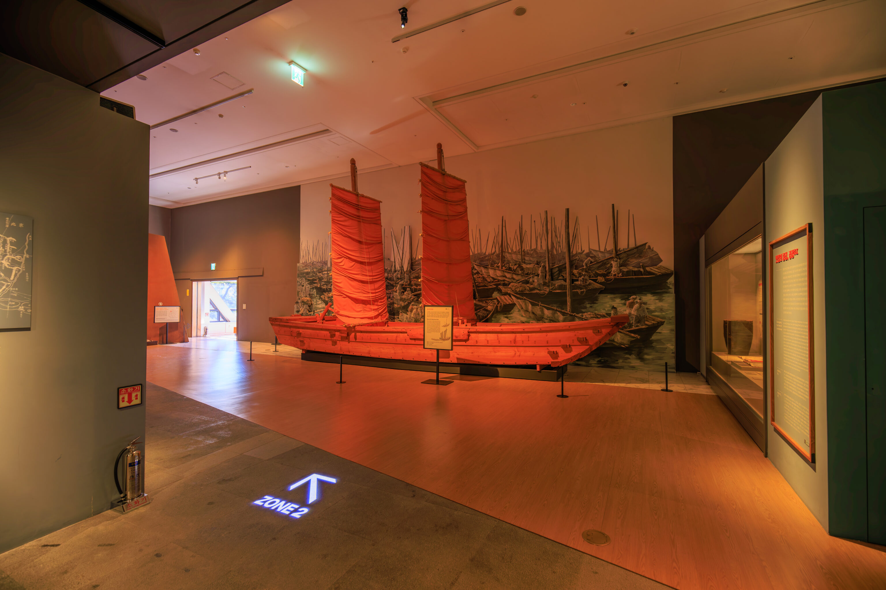
We continued on, seeing various historical artifacts and quite a bit of text.
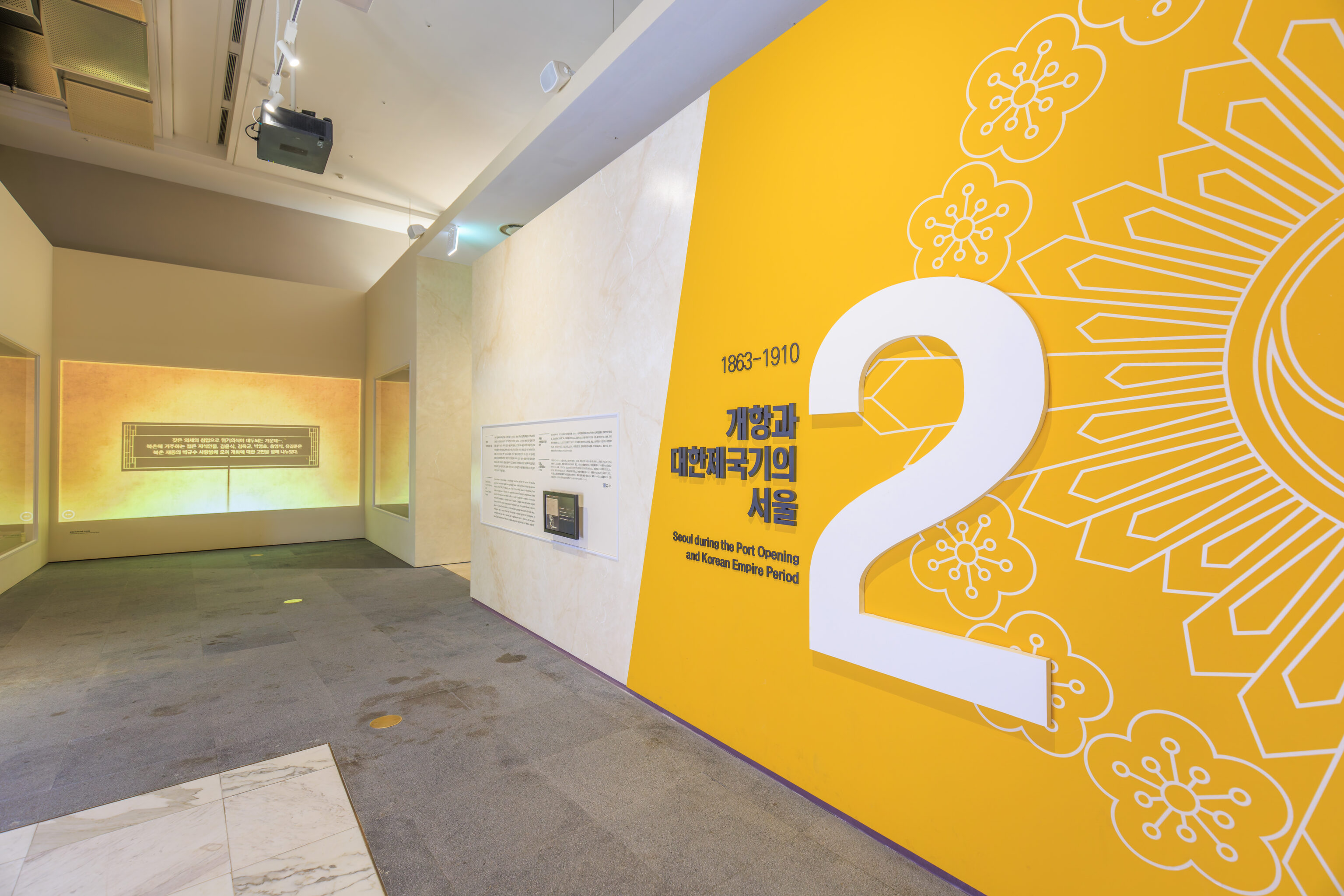
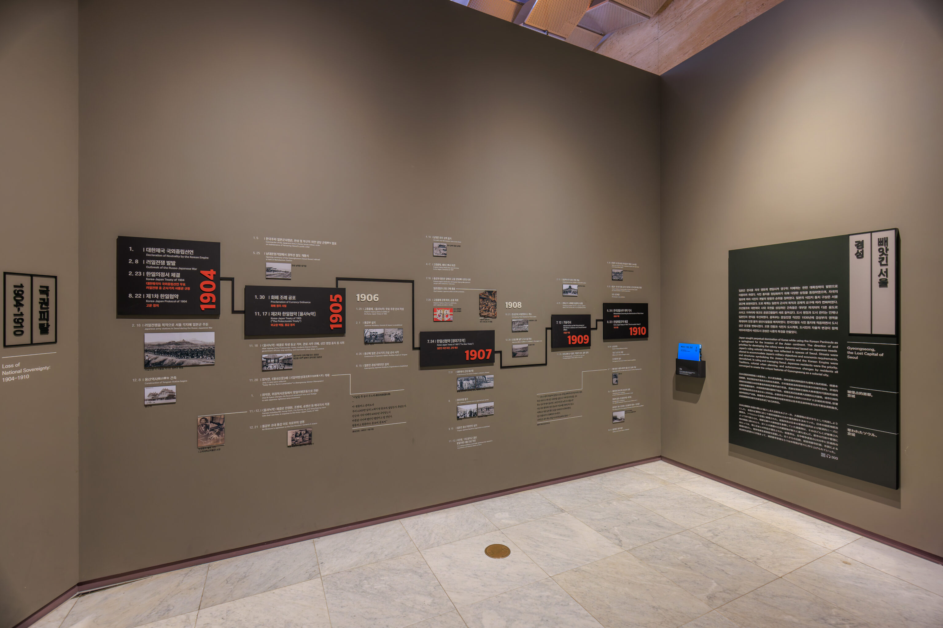
The next area, Zone 2, describes when Korea opened up to the world. This would also result in the loss of Korean independence to the Japanese.
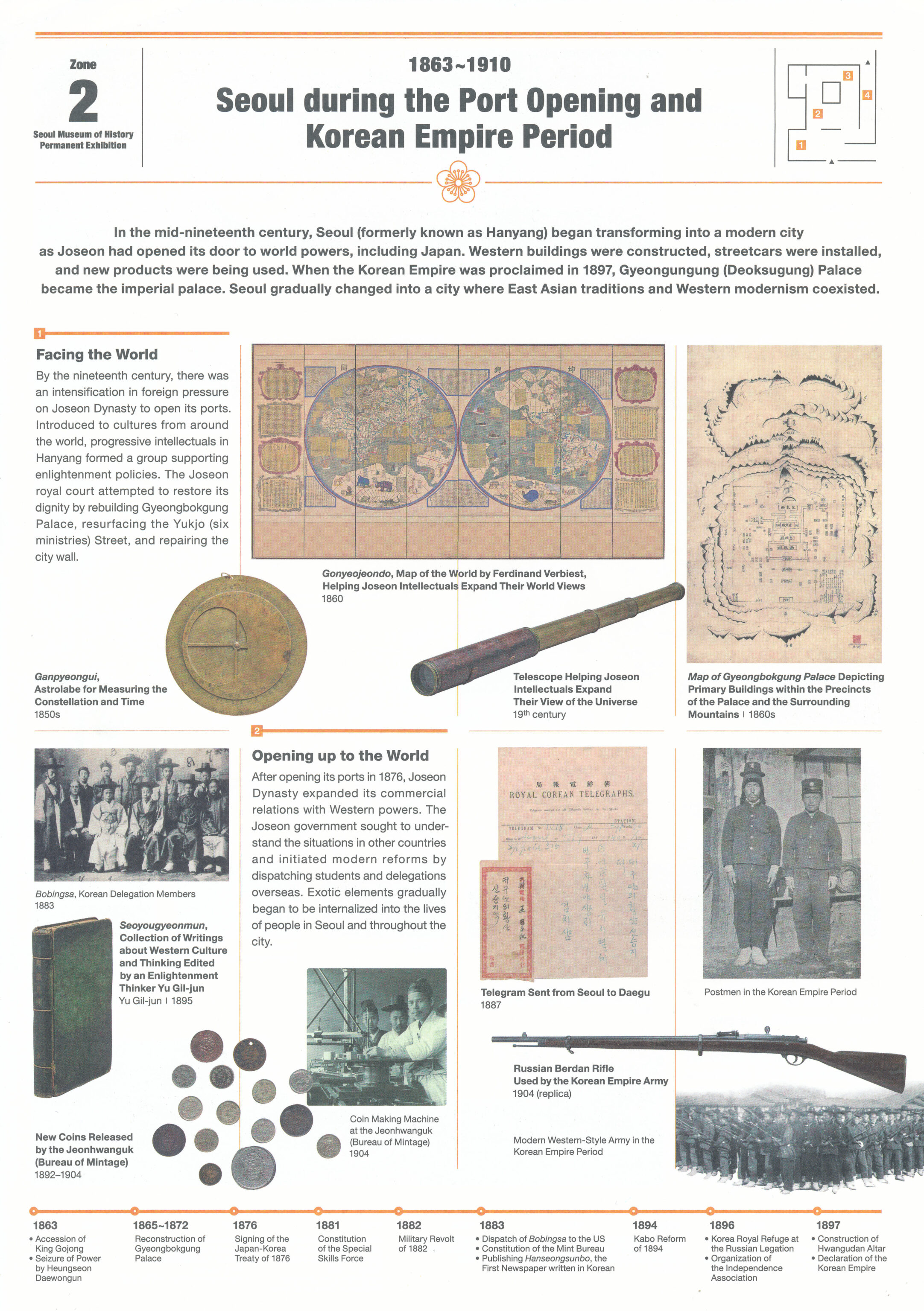
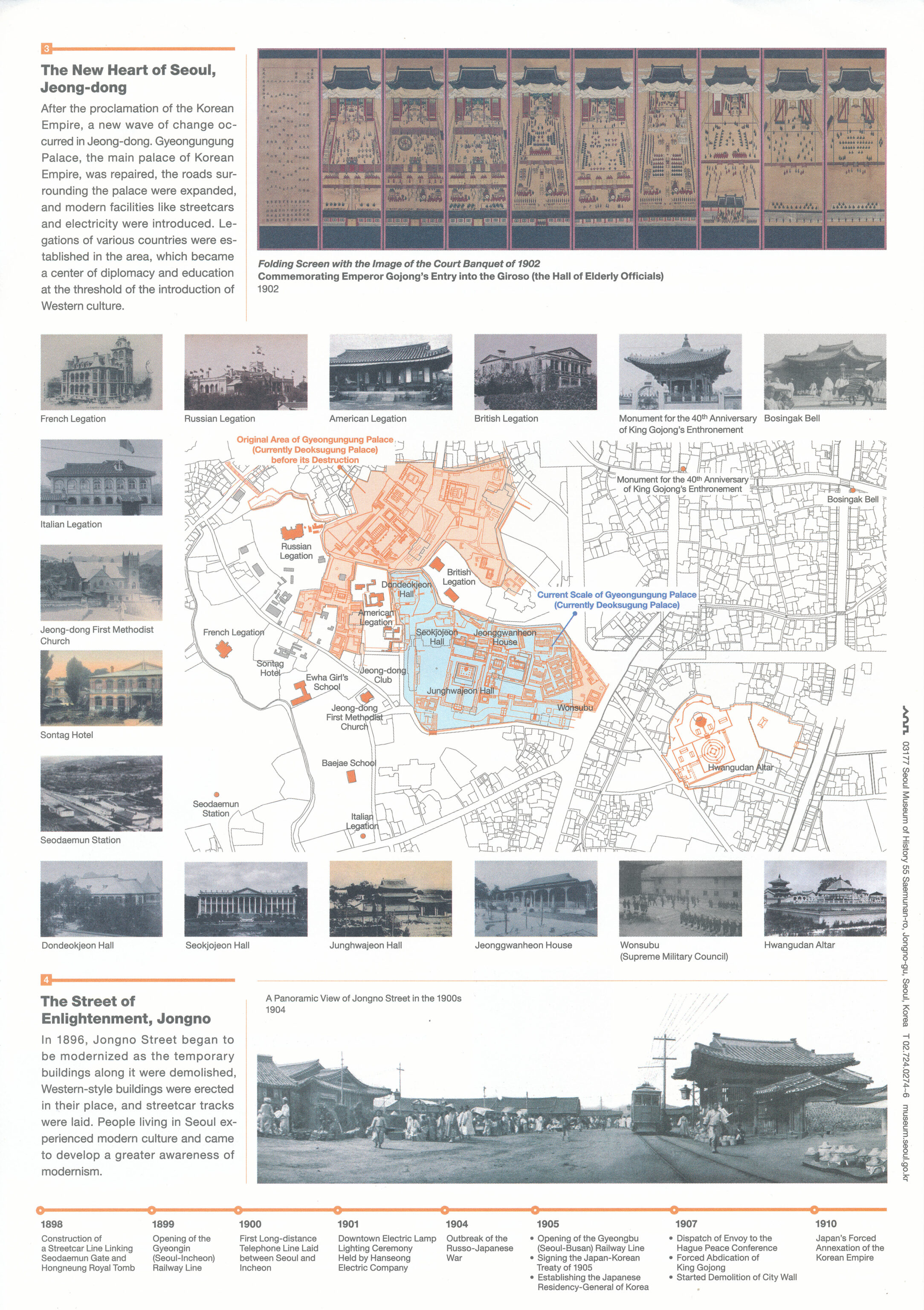
We picked up a leaflet that descries this zone.
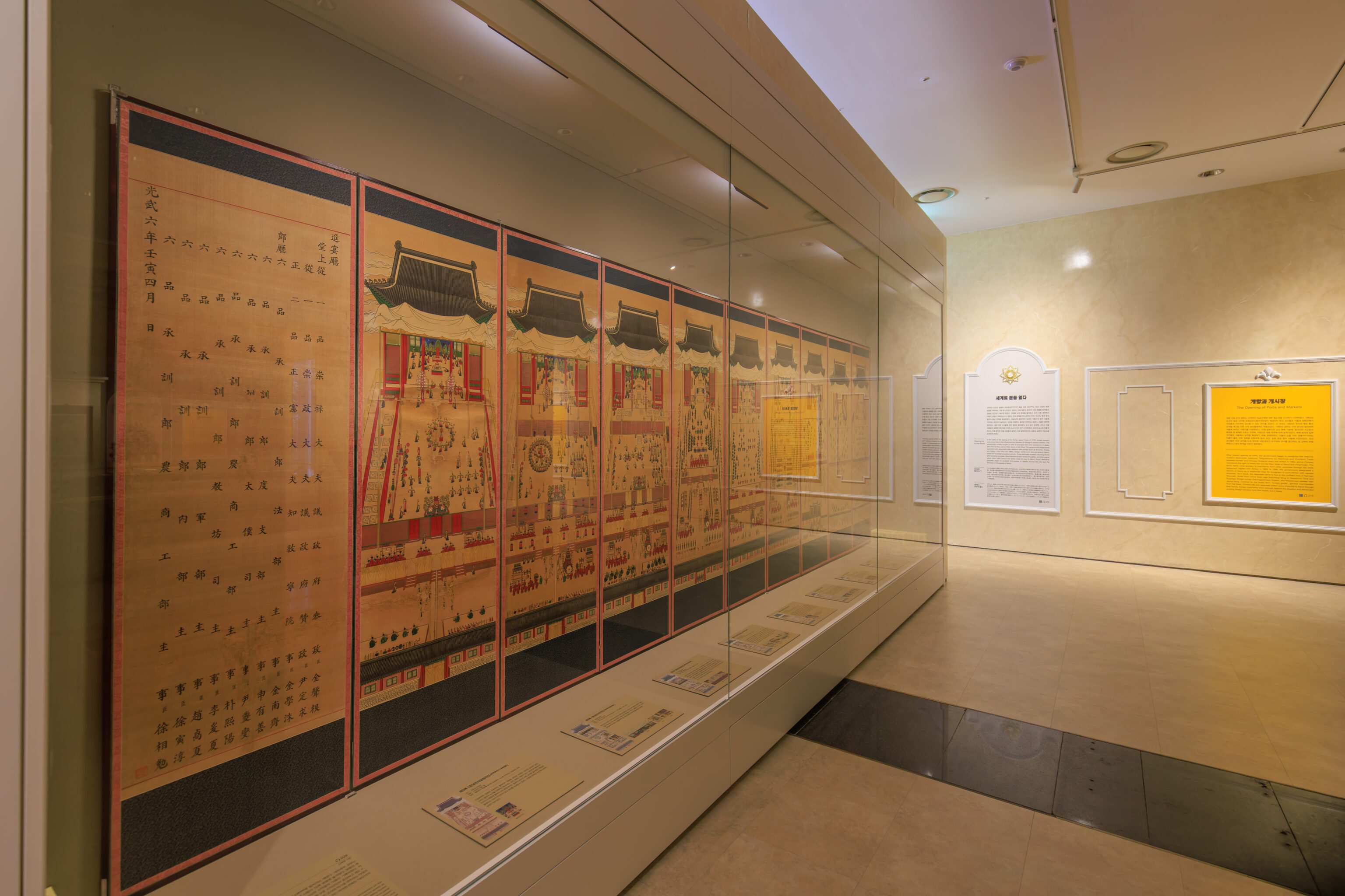
These drawings seem to depict various events that took place in the royal palaces.
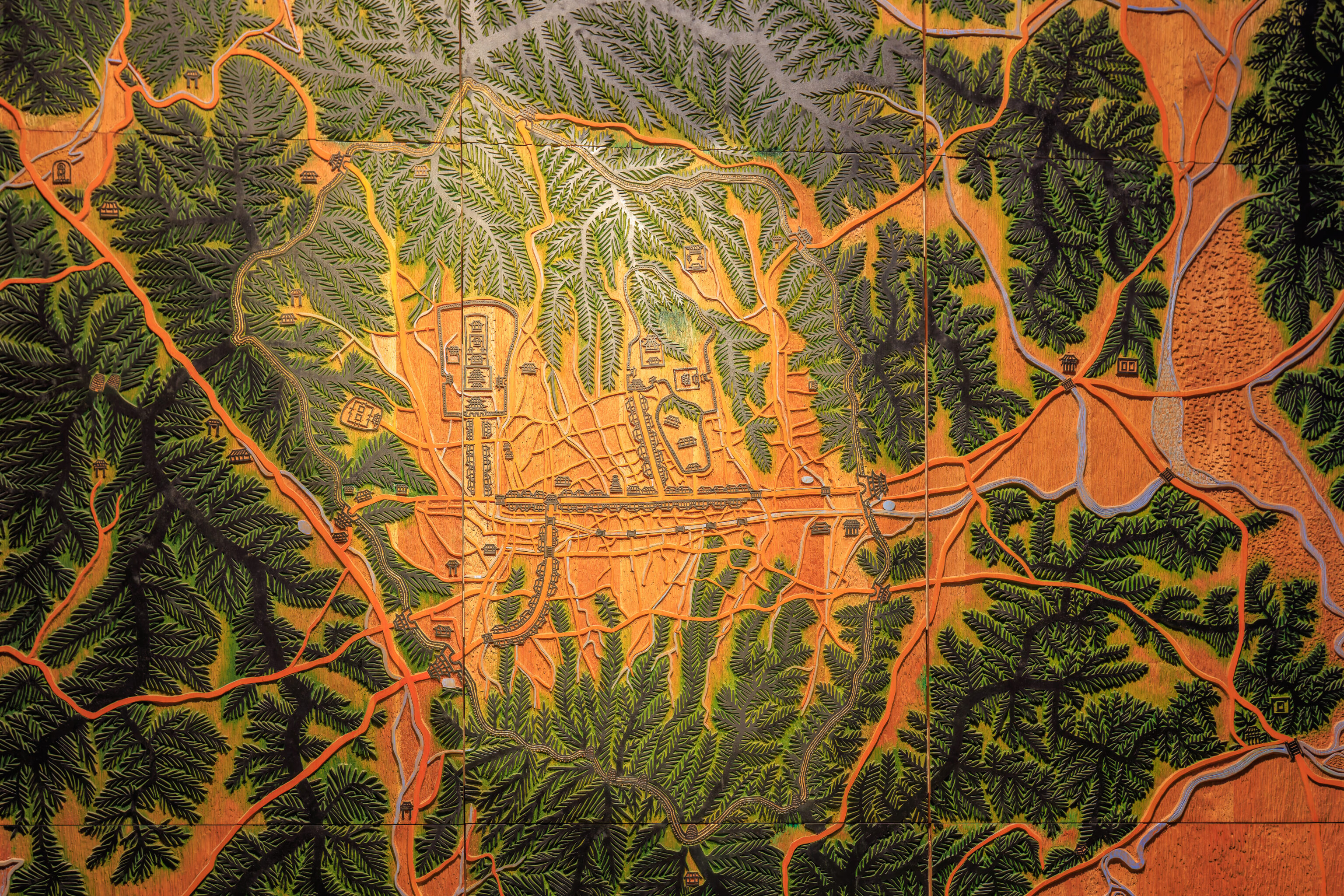
There was a large map which depicts a section of Seoul.
This projection display was interactive, if you stood on the circles on the ground.
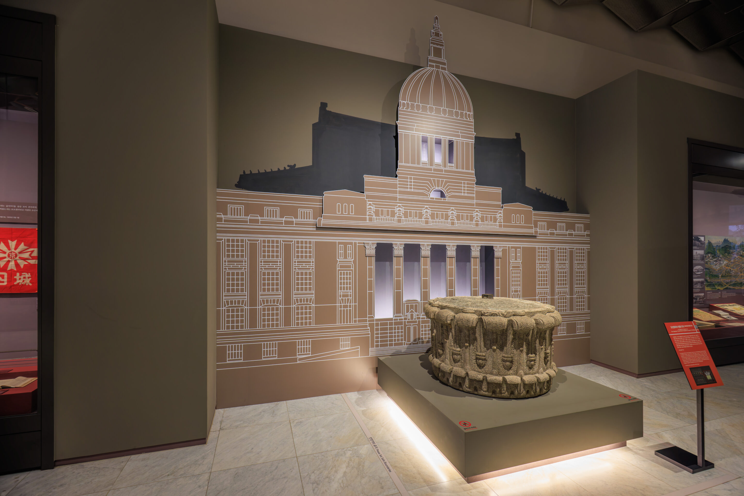
A timeline shows the end of the Korean Empire, followed by another column piece from the now demolished Japanese Government-General Building.
Zone 3 describes Seoul during the Japanese occupation.

A timeline shows various Korean independence movement events. Ultimately, none were successful.
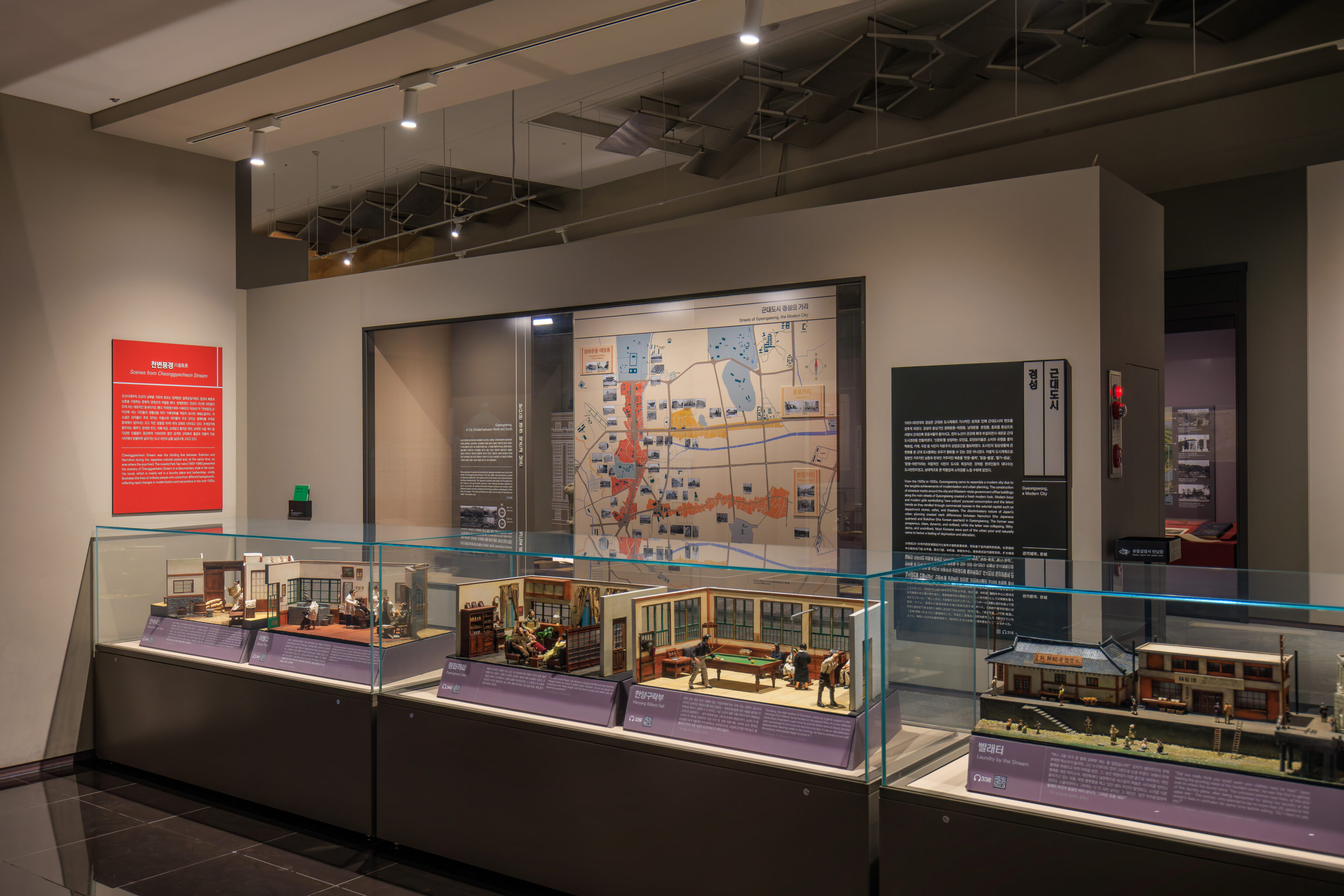
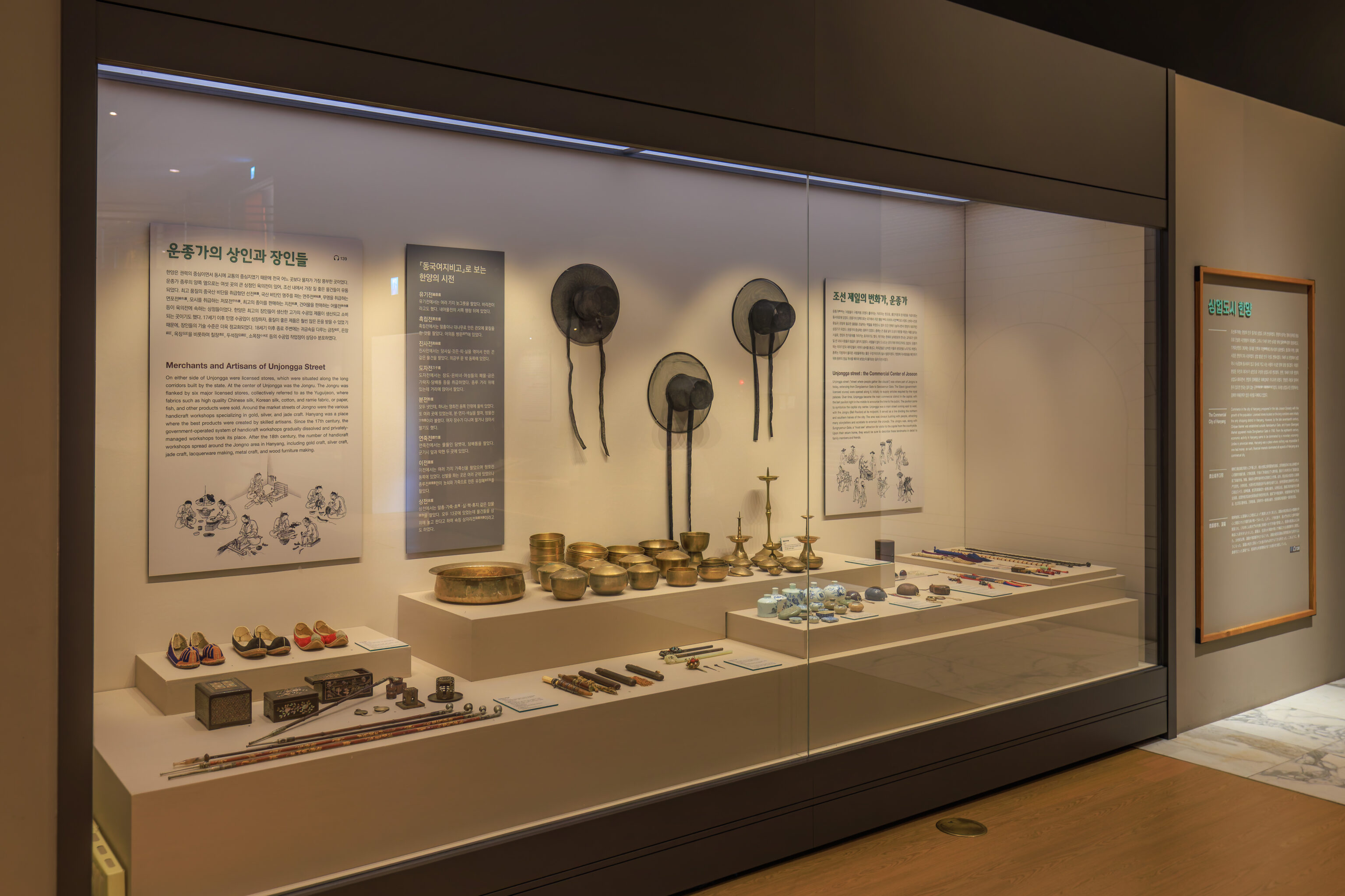
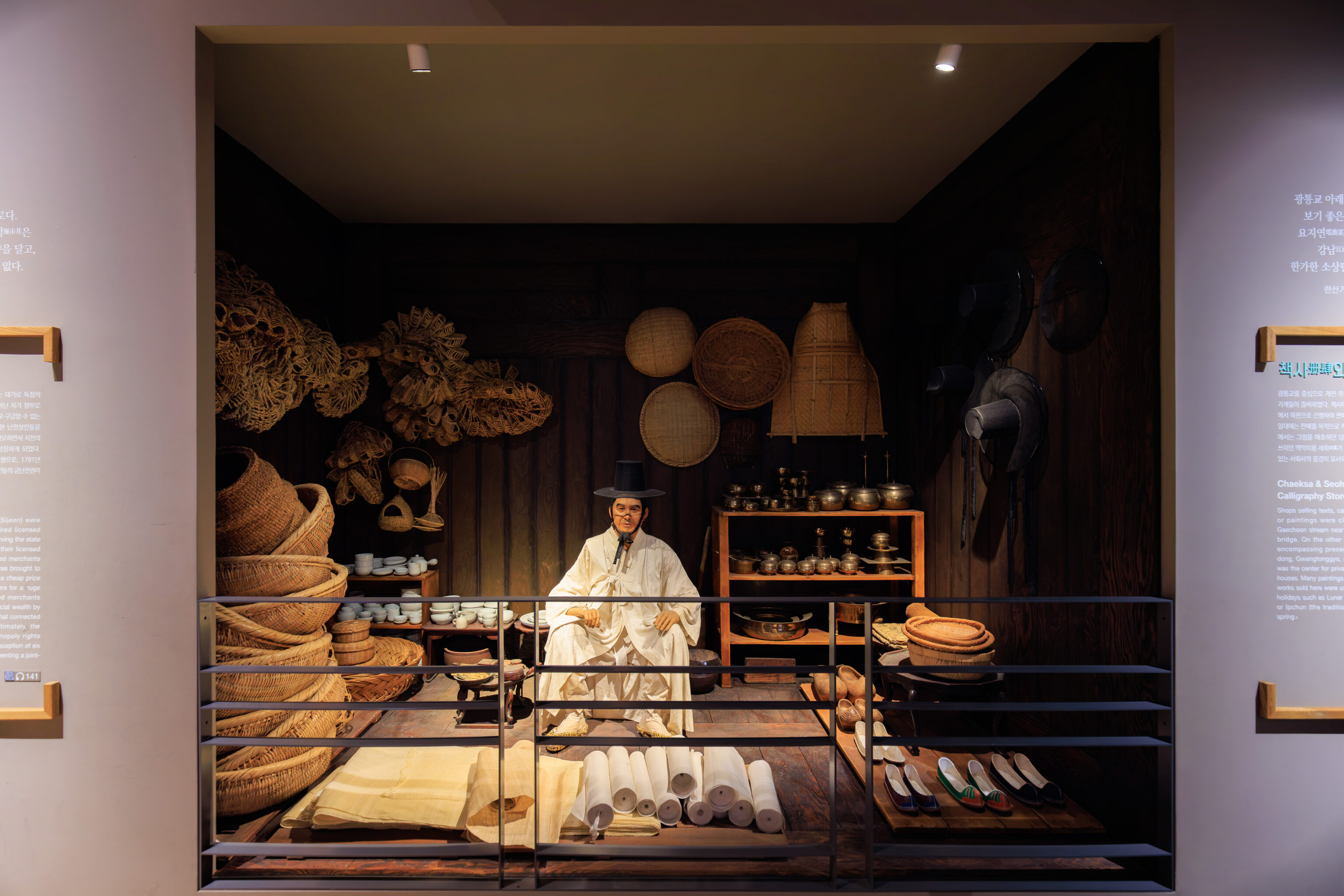
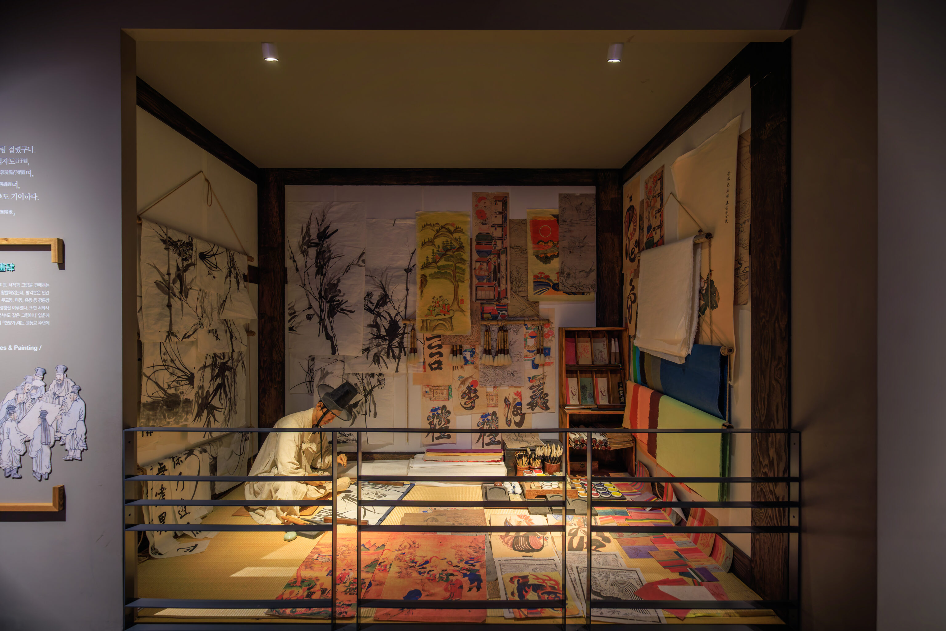
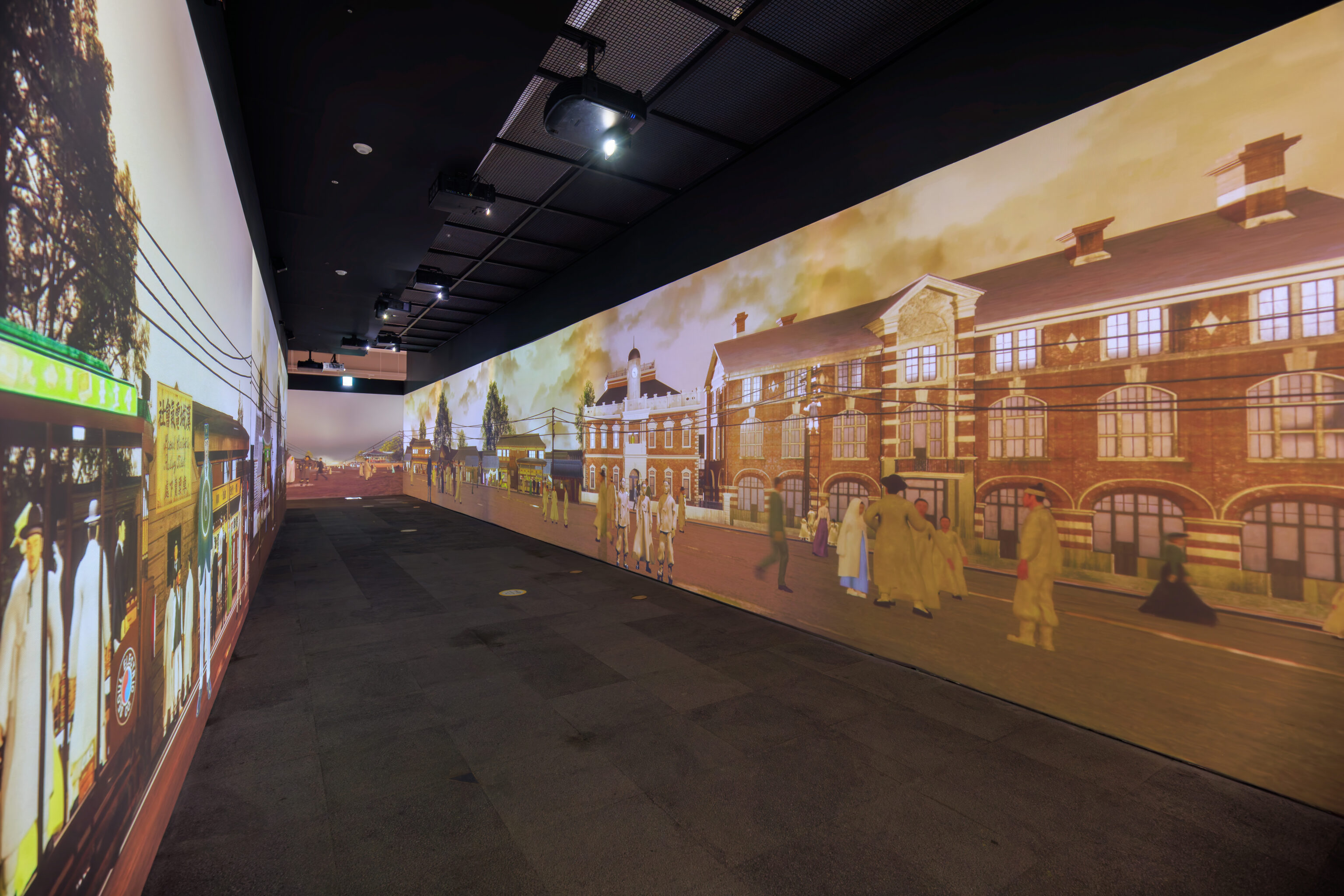
This area showed some examples of life in Seoul as the city was modernized.
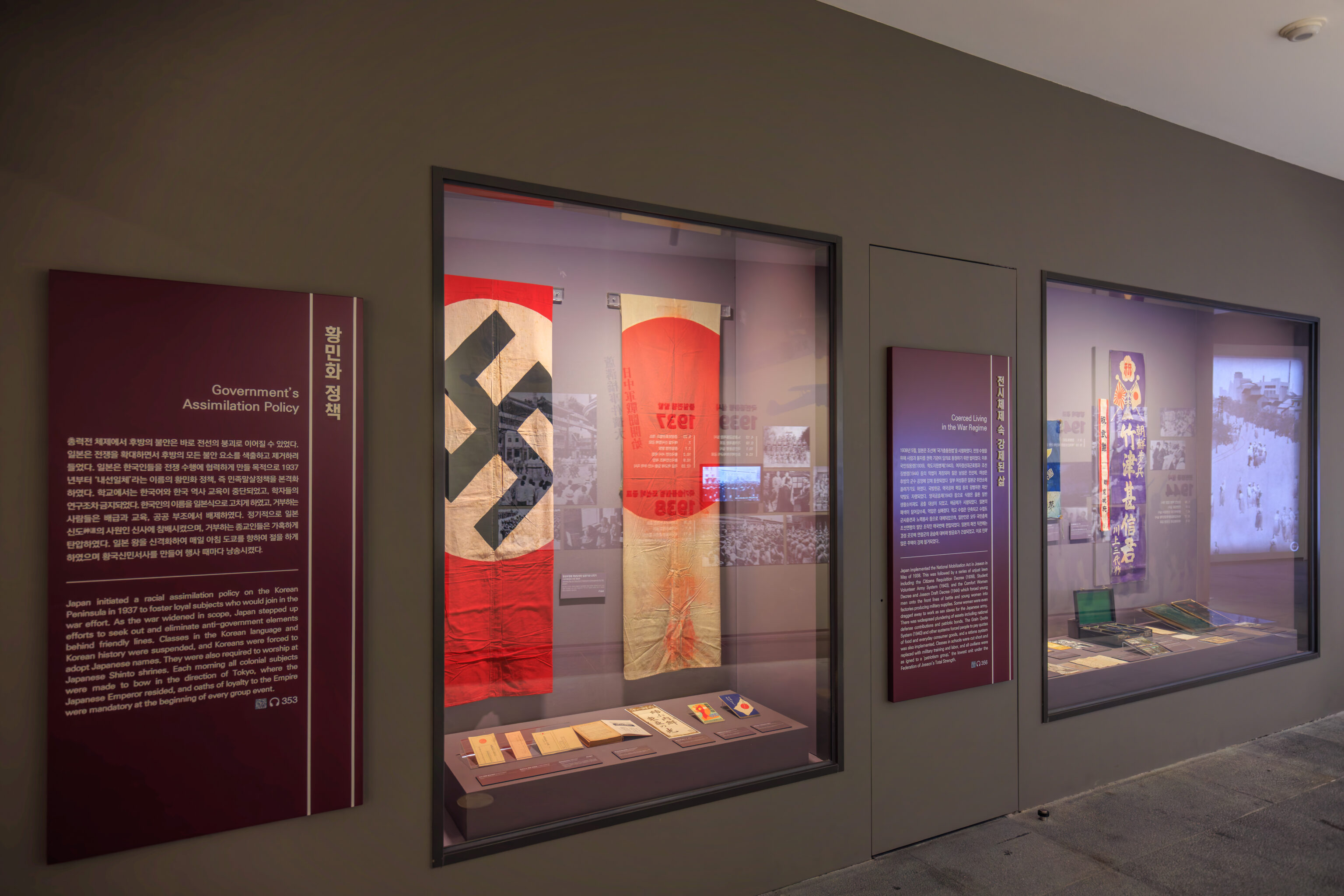
This exhibit explains how the Koreans were forced to essentially become more Japanese and also were forced to be involved in the Japanese war effort.
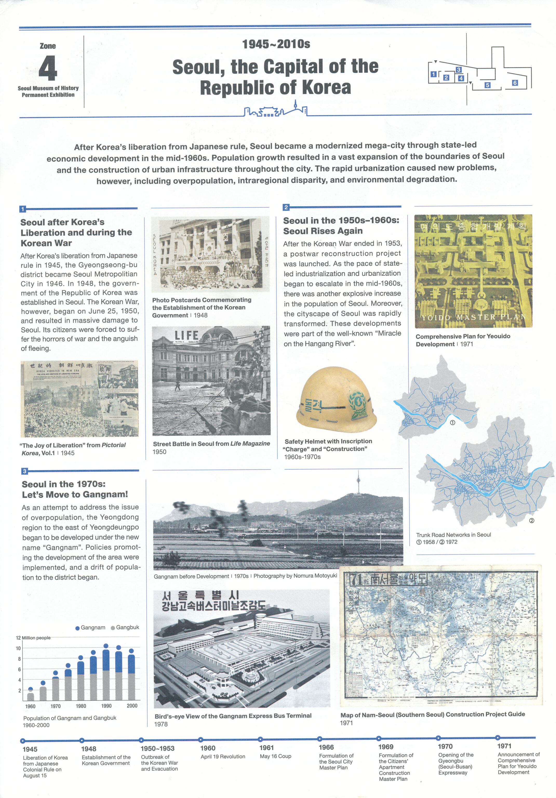
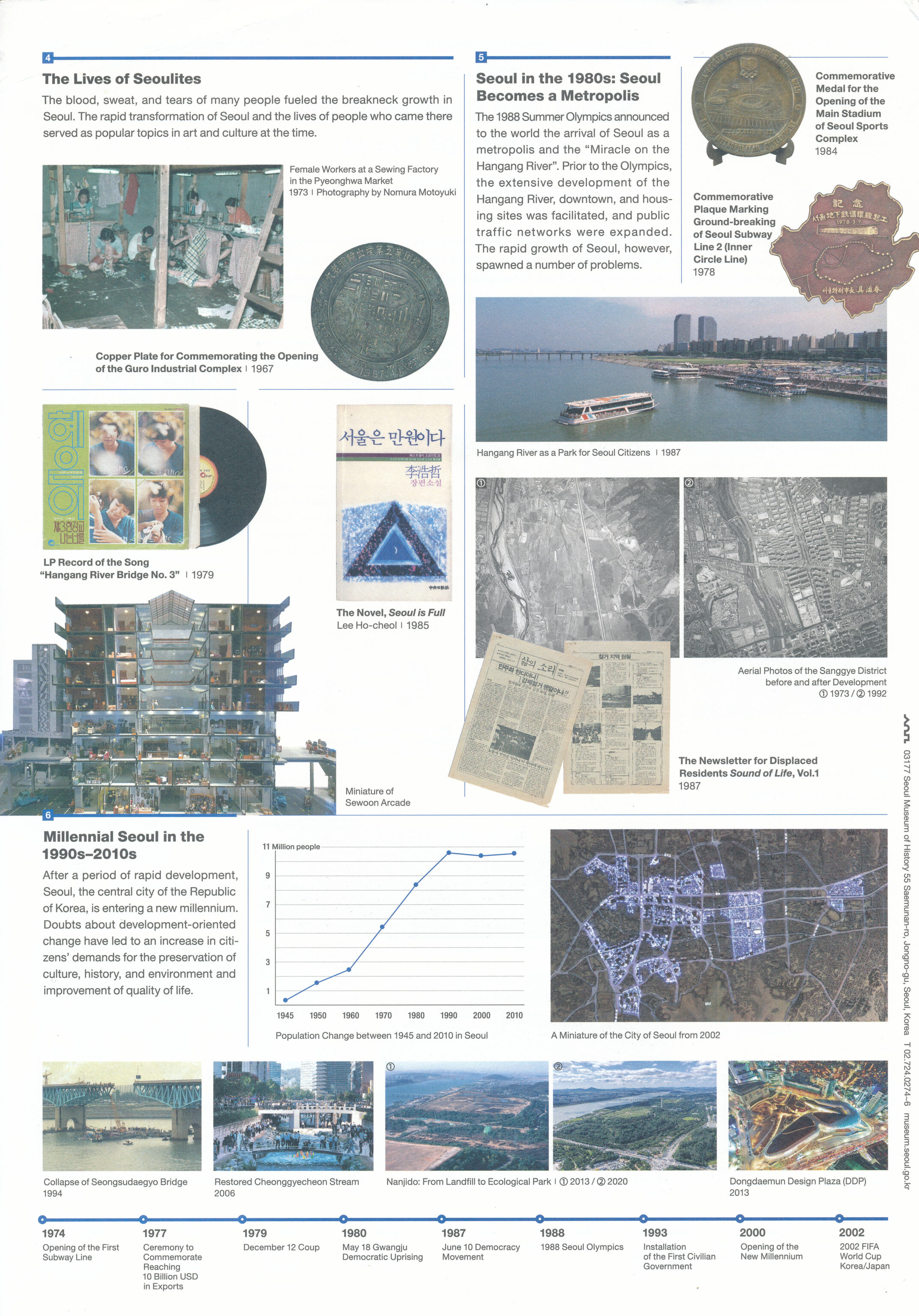
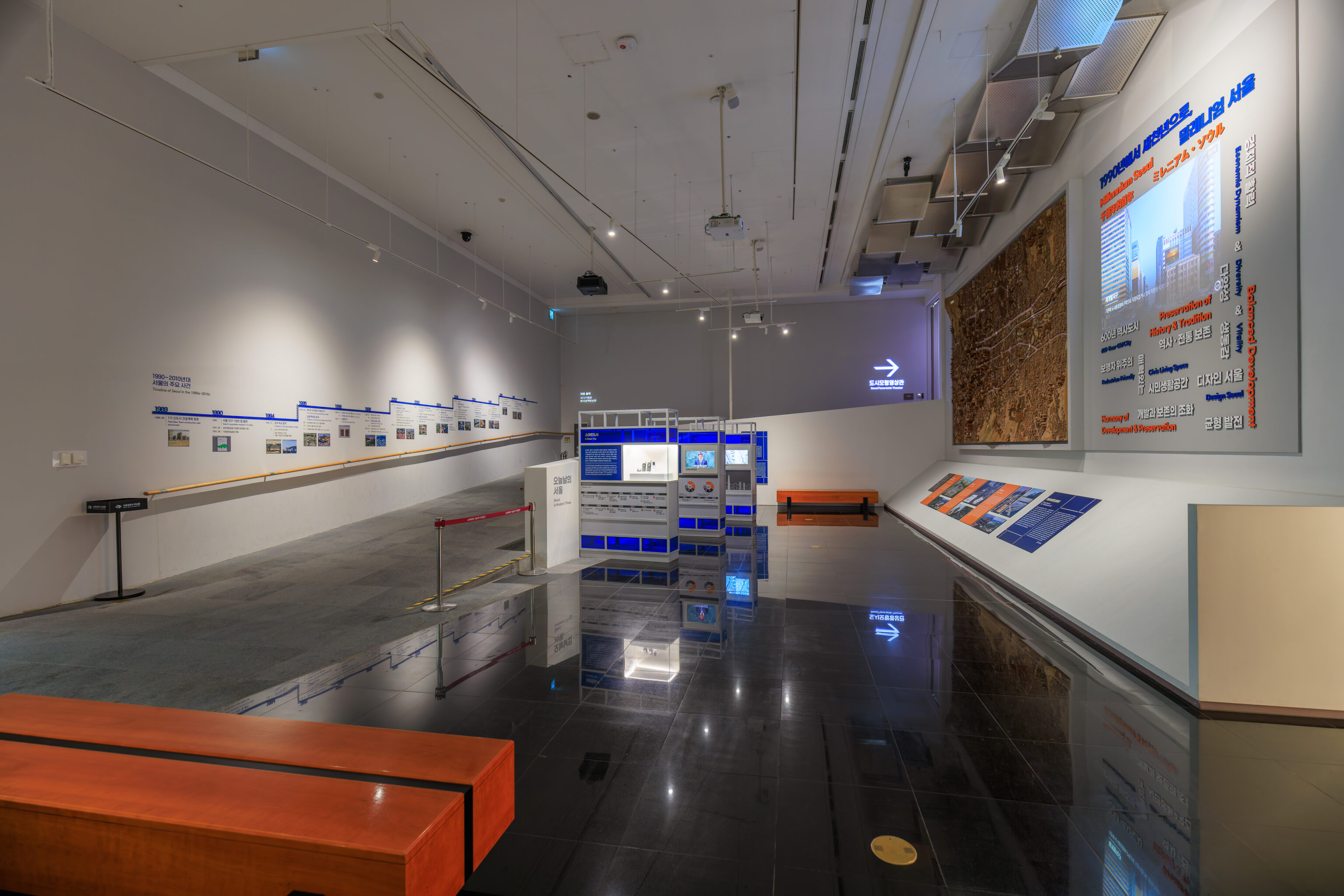
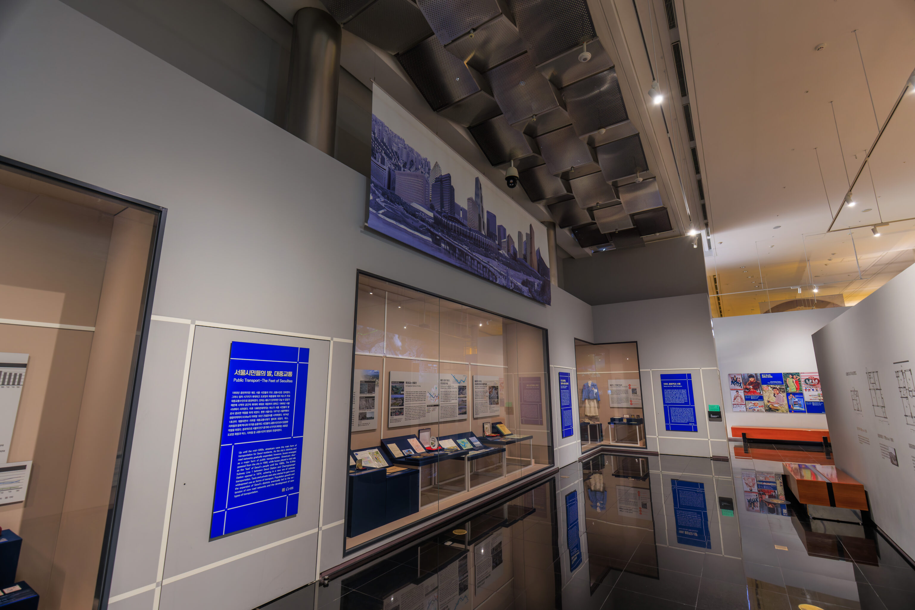
The final zone describes the post-war period up to modern times.
Large displays show how Seoul was quickly developed after the armistice that paused the Korean War.
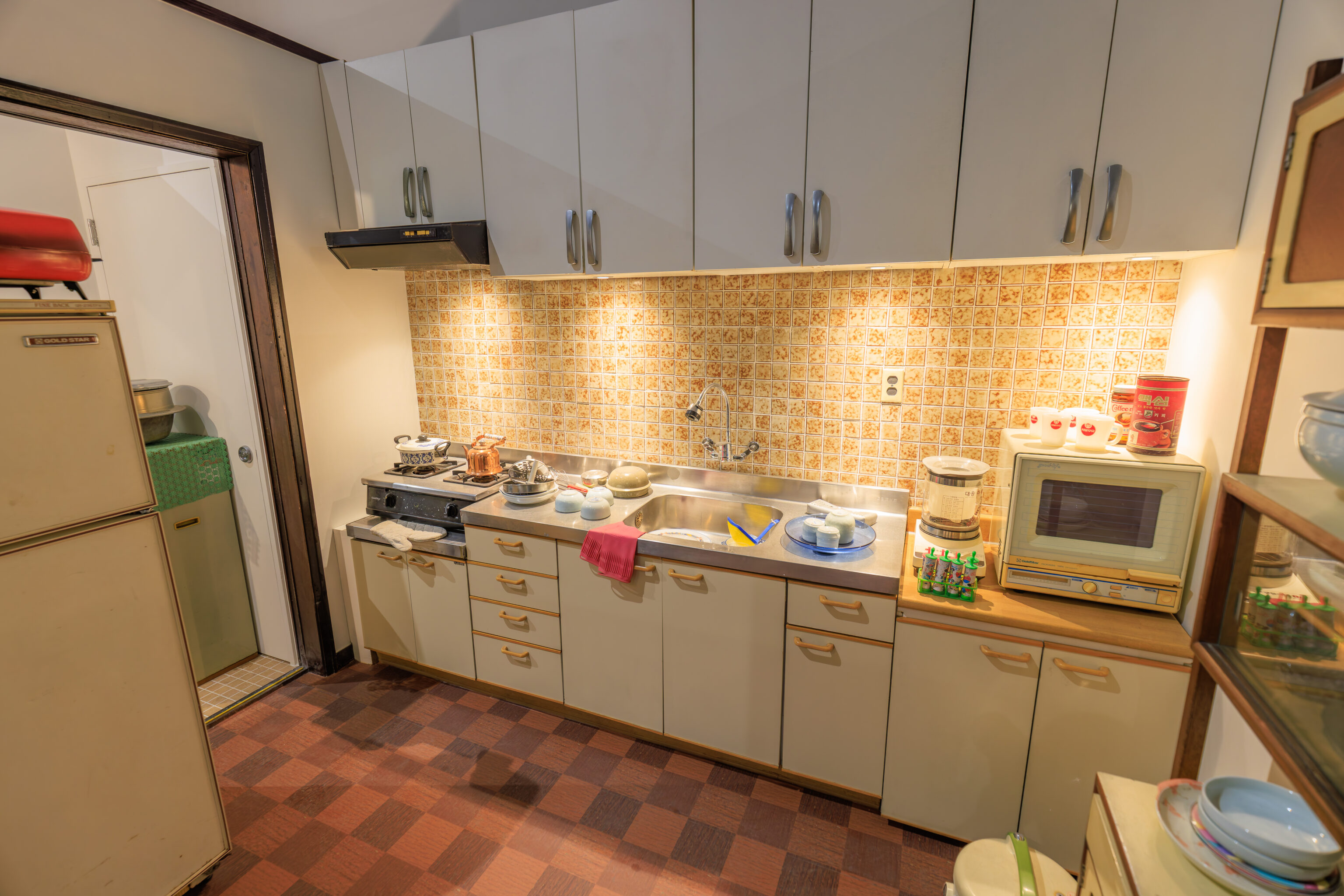
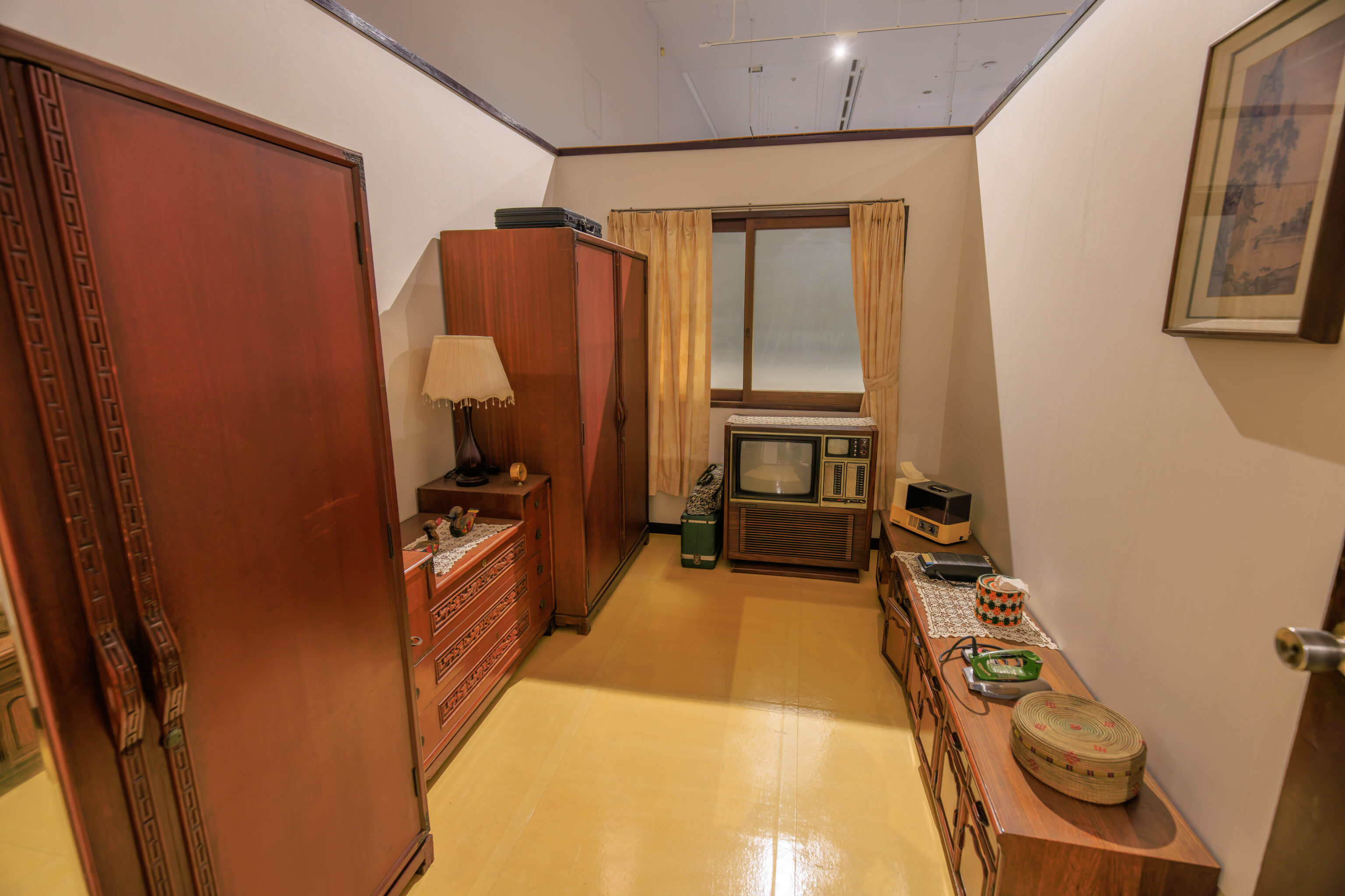
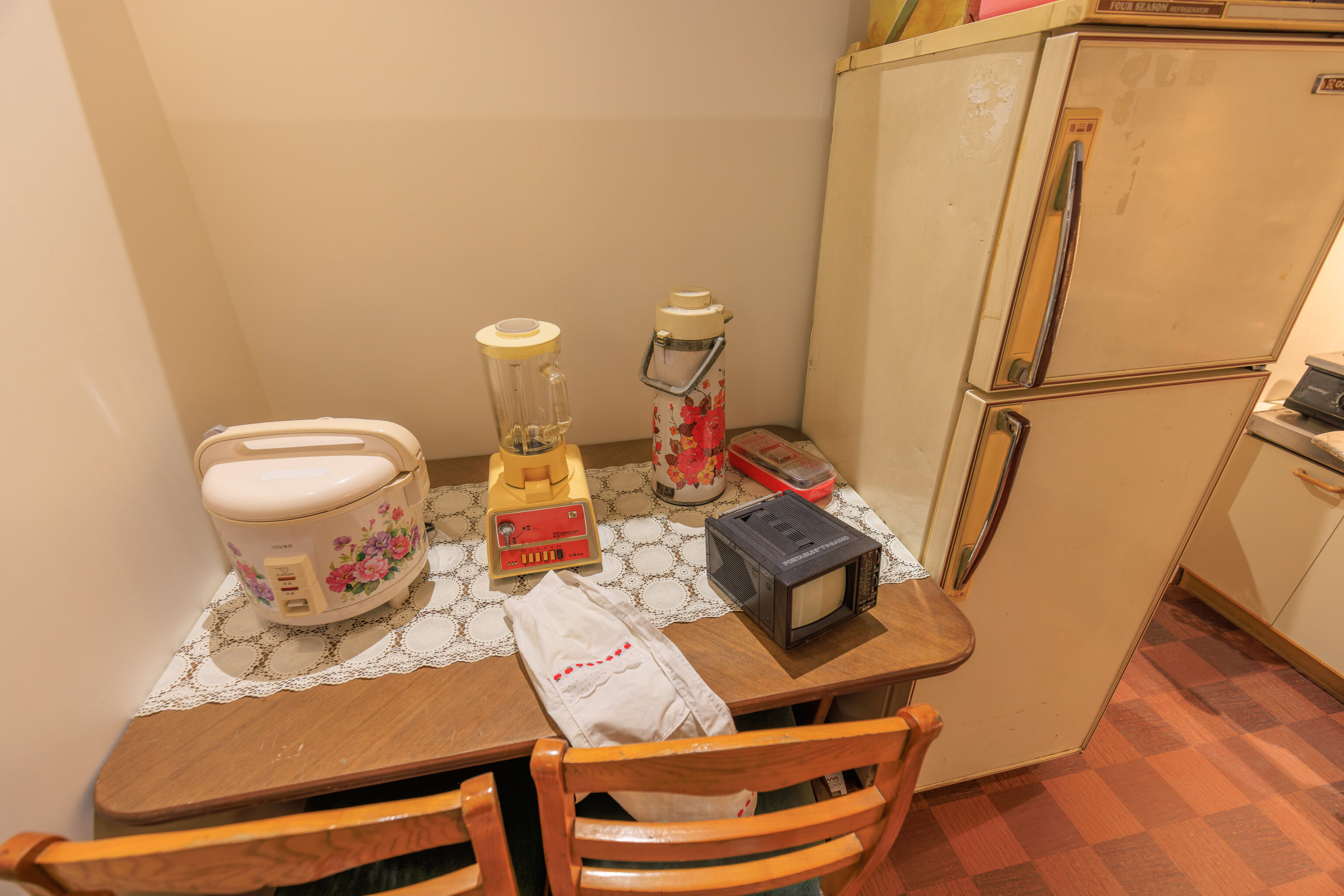
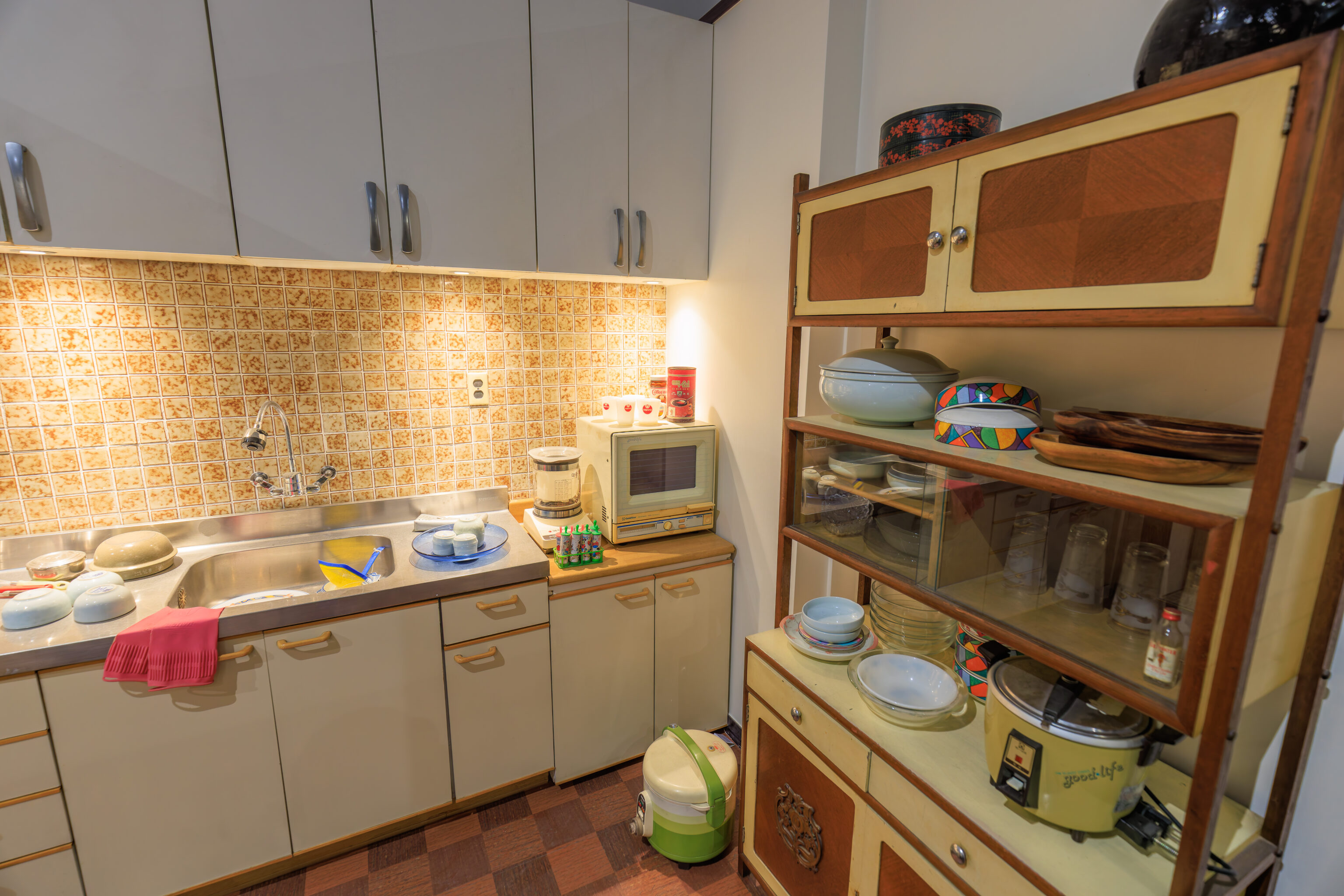
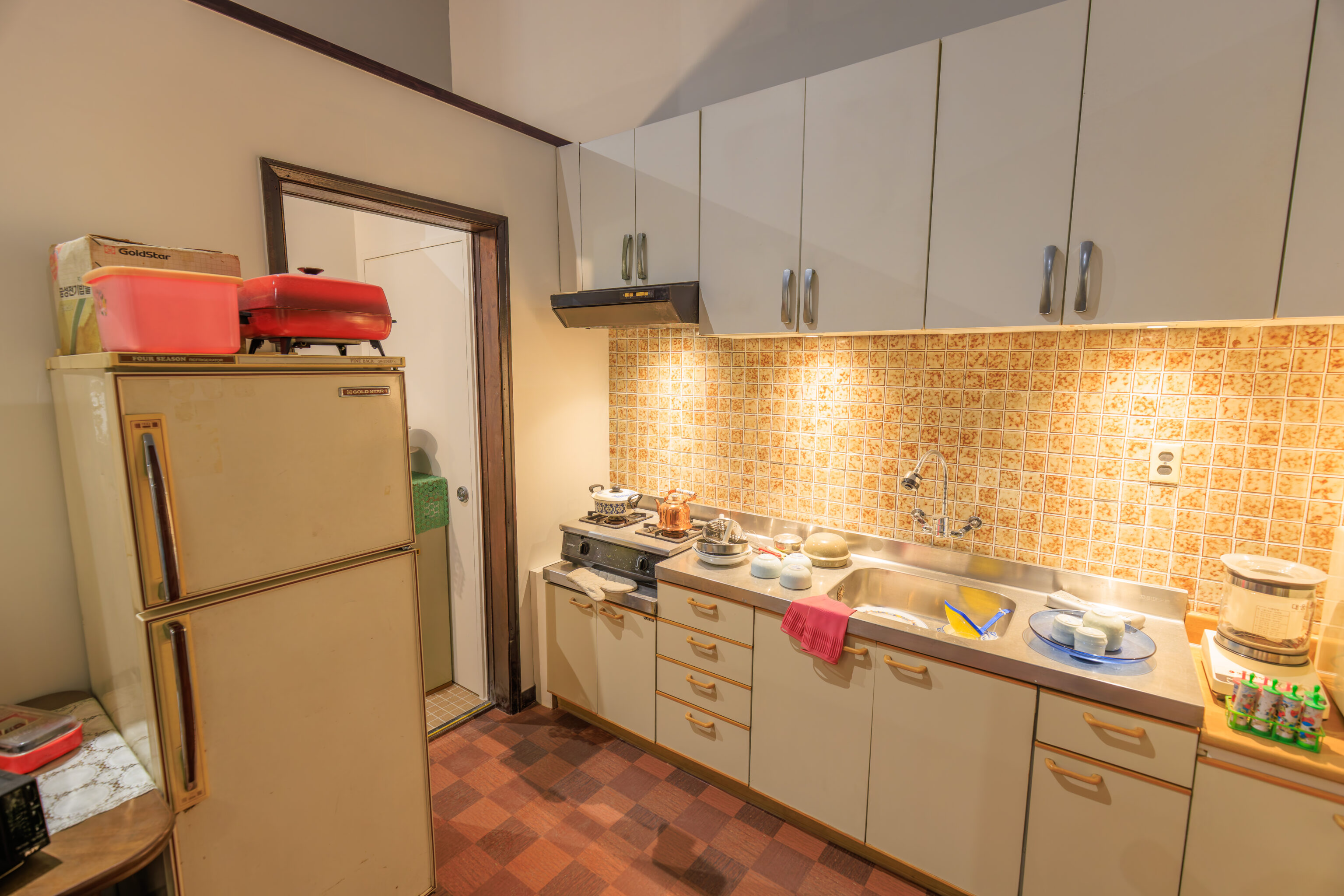
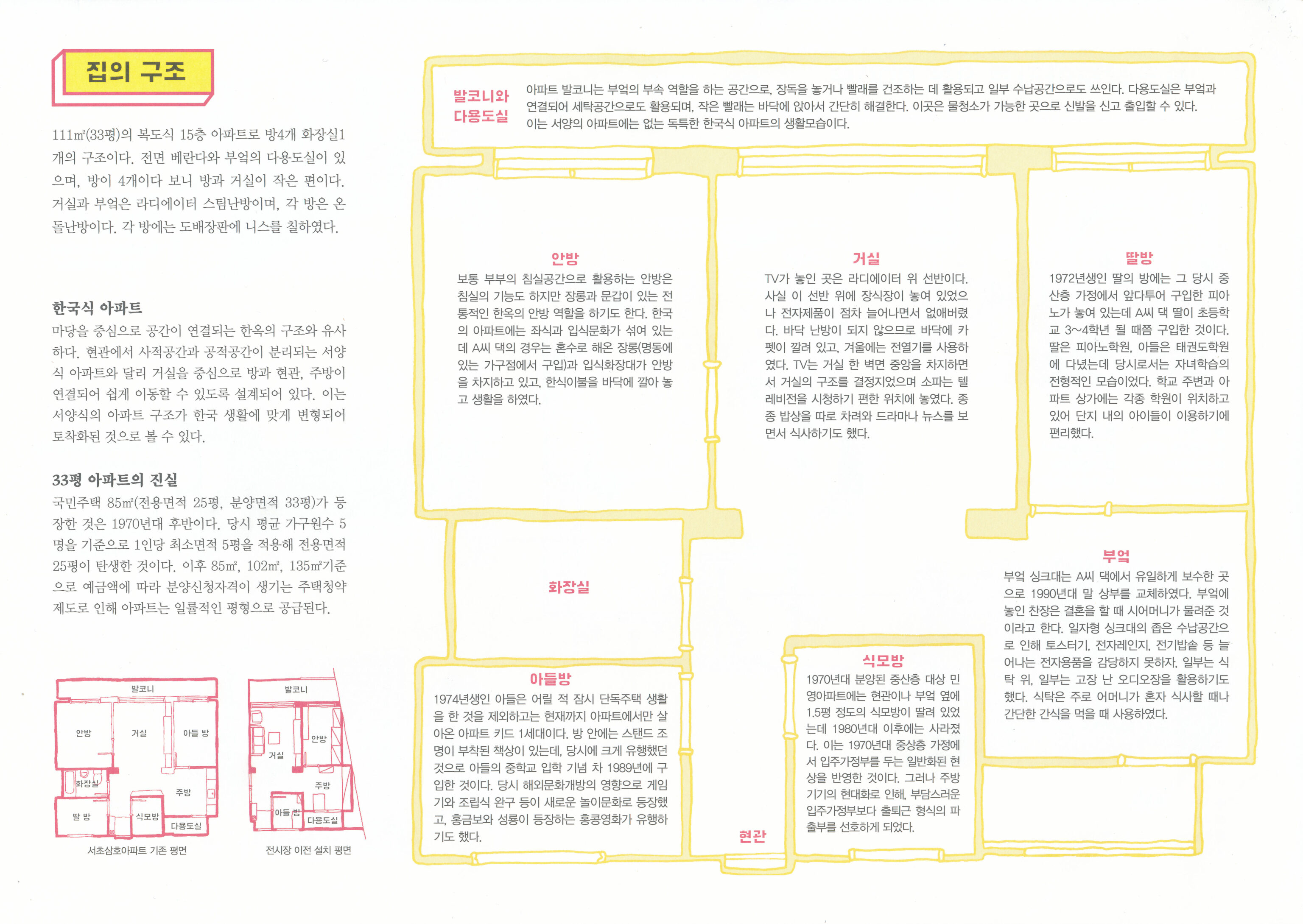
A large section was dedicated to a life-size example of an apartment from 1978, described as Seocho Samho Apartment Building 9, Unit 000. A sign provides a brief explanation:
Seocho Samho Apartment, which began accepting occupants in 1978, was a typical apartment complex in Gangnam in the 1970s. A family of four, consisting of a father, mother, daughter, and son, lived in this apartment complex in Building 9, Unit 000 for 30 years starting in 1981. Seocho Samho Apartment, which embodies the middle-class housing style and lifestyle of the time, was demolished in 2014 due to reconstruction efforts.
The technology seems similar to what would have existed in the US during this time. There are a few examples in here of Gold Star appliances, a company that merged with Lucky, to form Lucky Goldstar and, wisely, renamed to simply LG.
Although the technology is similar, the apartment is significantly smaller than what was available in American suburbs during this time.
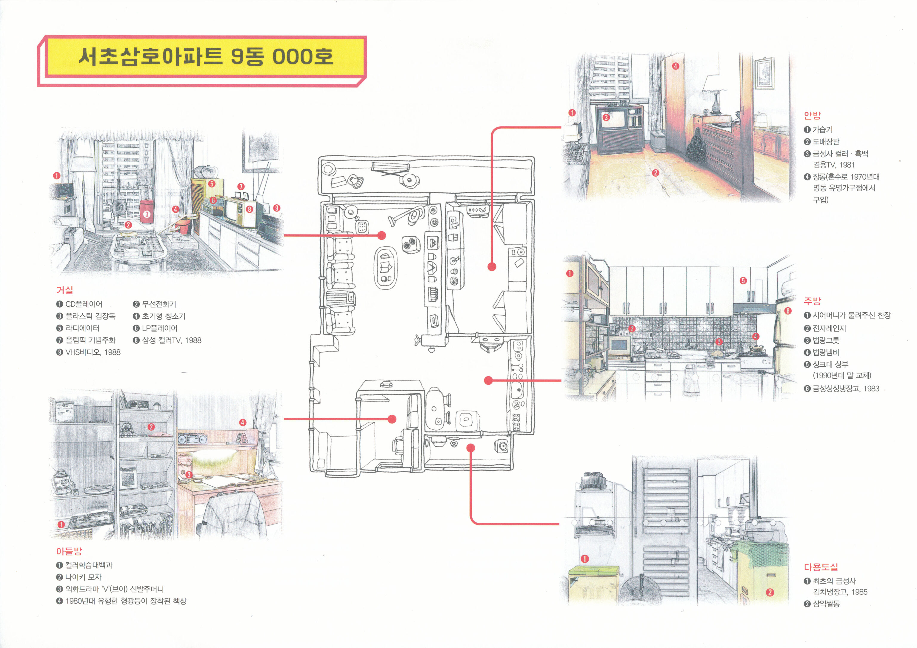
This Korean language leaflet describes this apartment.
We were able to use Google to translate the text on the image.
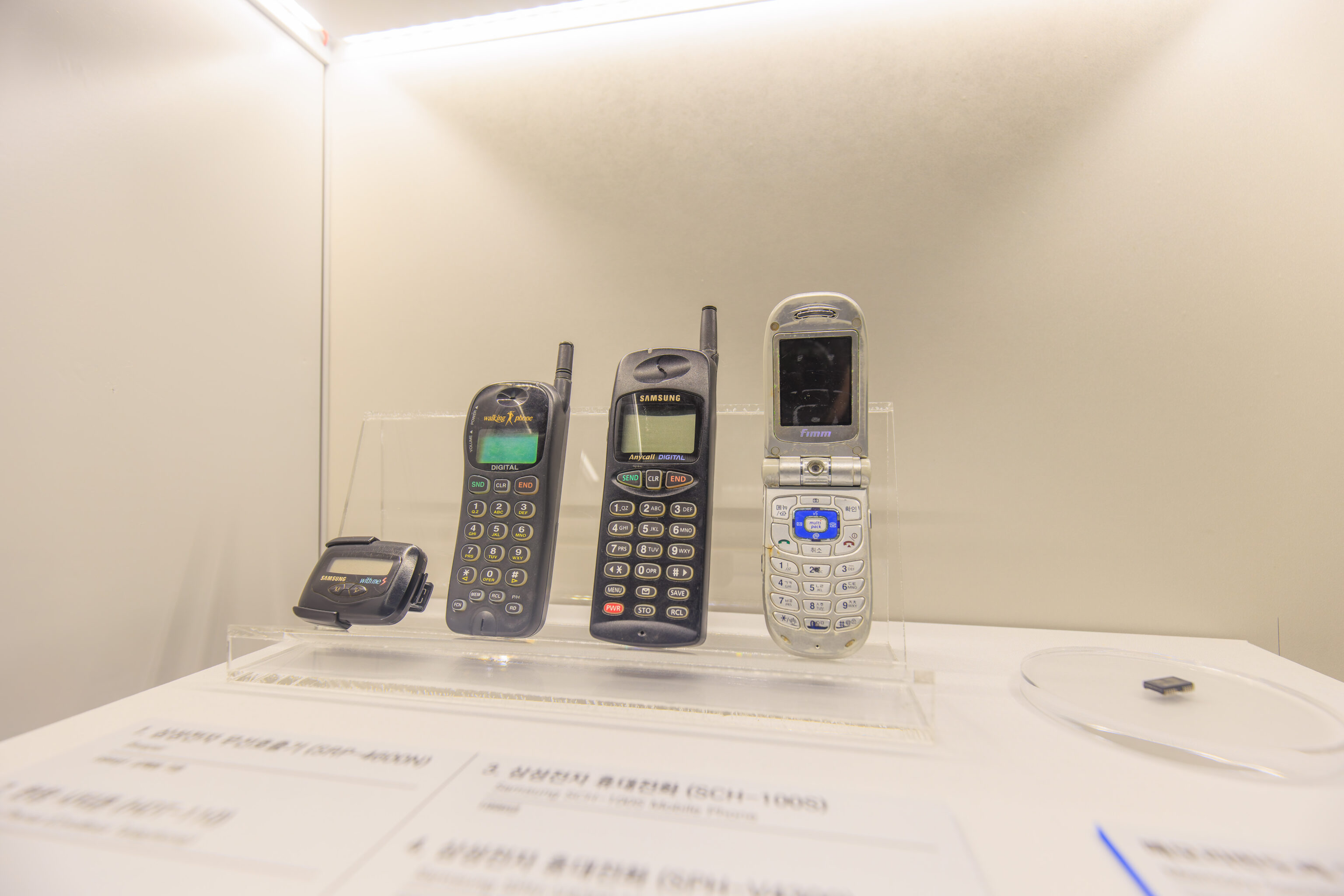
An additional section showed the entry into modern times. I recall having a Samsung cell phone that was similar in design to the silver one shown here on the right.
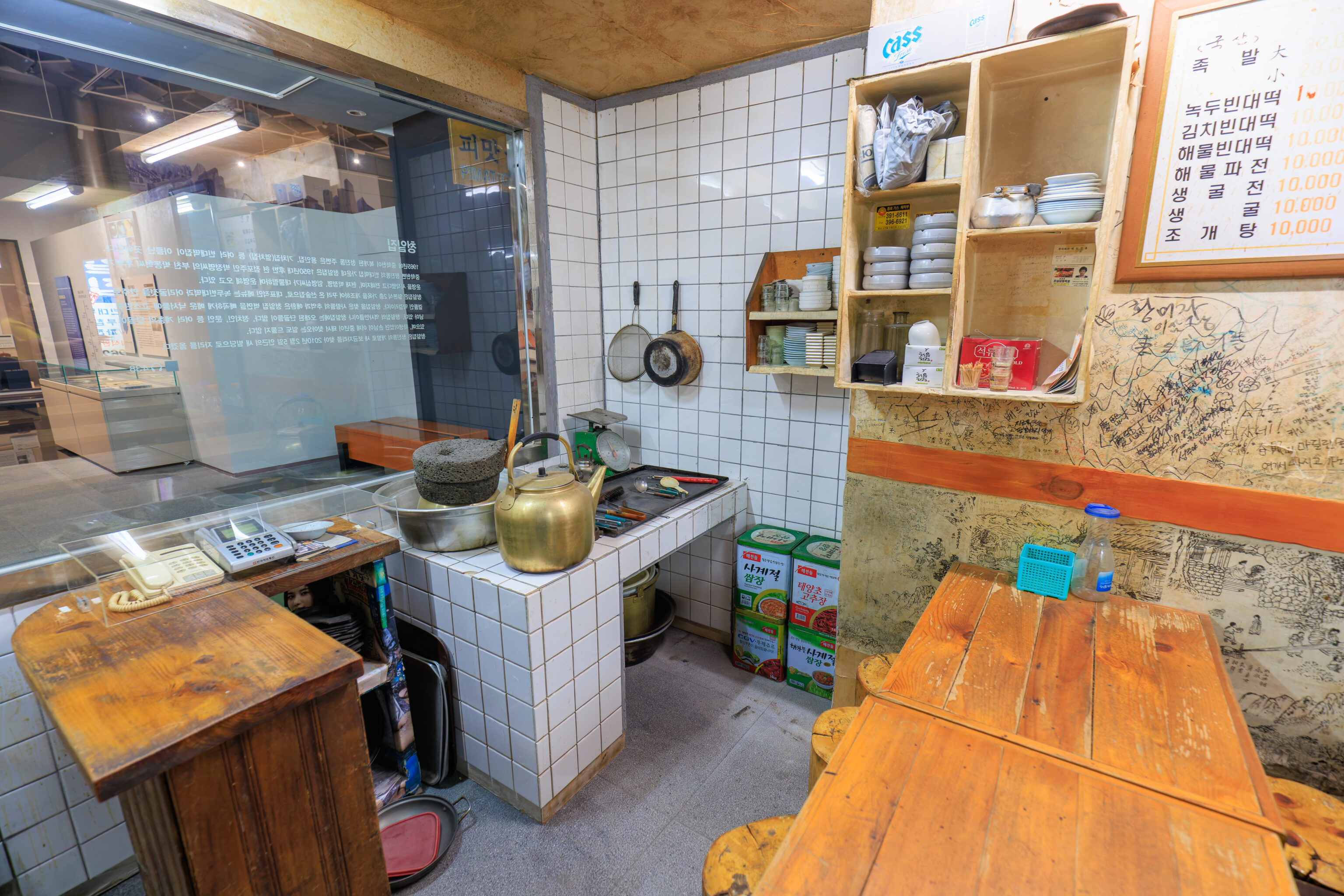
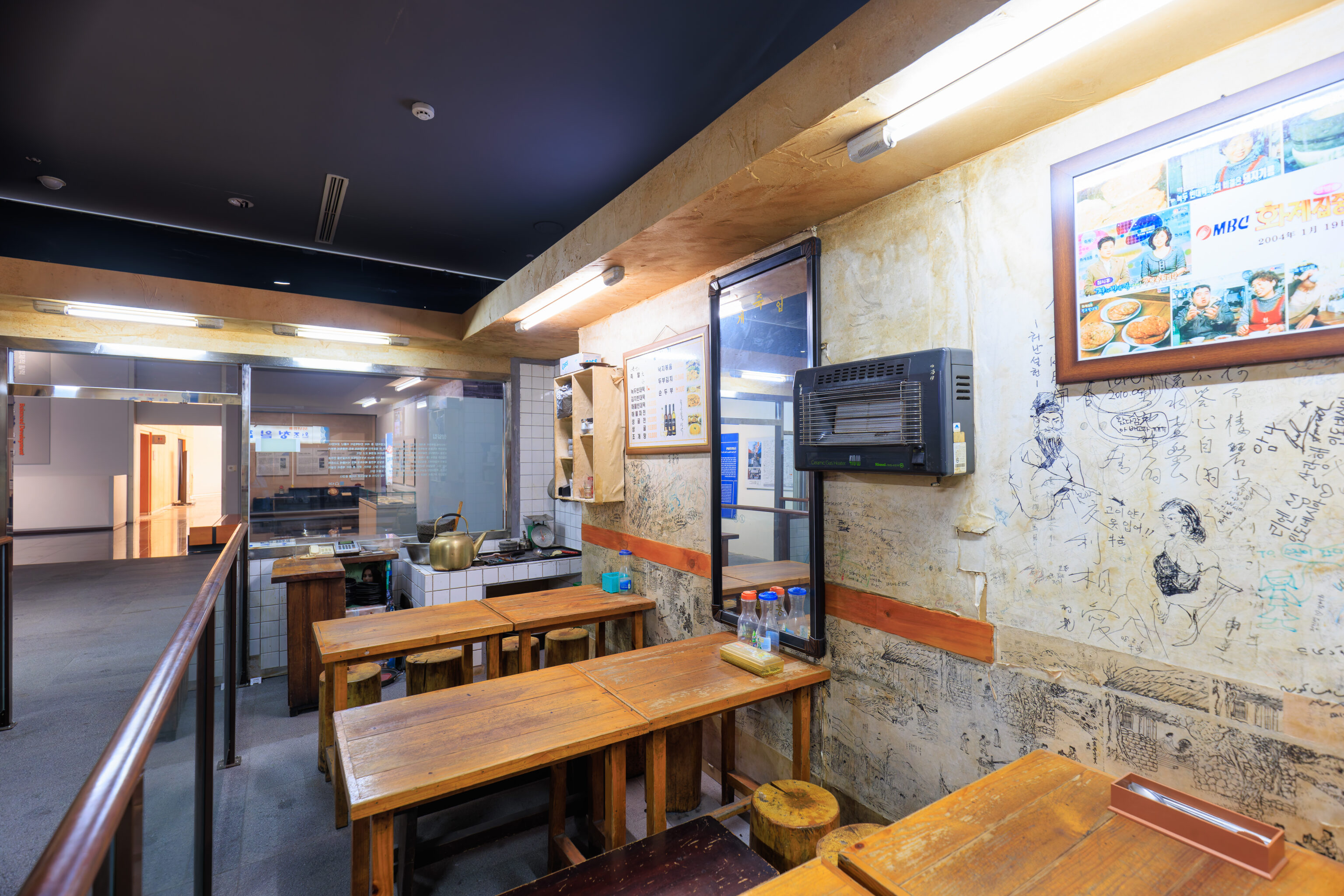
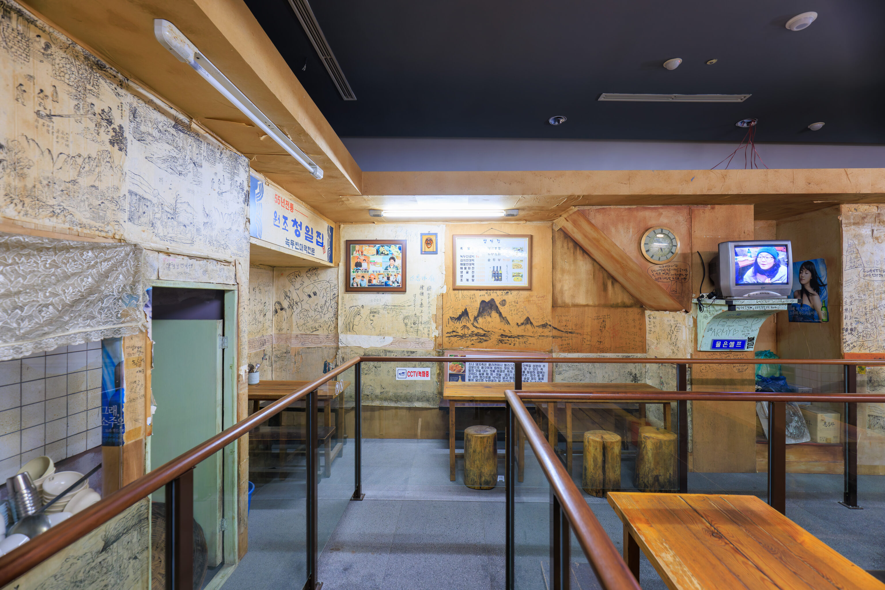
This section depicts Cheongiljip, a restaurant:
The area around Cheongjin-dong, where Junghakcheon was restored in 1965, is famous for its many bindae-tteok restaurants, including Yonginjip and Trainjip (train house).

Among the bindae-tteok restaurants in Cheongjin-dong along Junghakcheon Stream, Cheongiljip is said to have been started in the late 1950s by the father of the current owner, Park Jeong-myeong, Park Dong-ryeok-seo, and is currently run by Park Jeong-myeong and Im Yeong-sim.

Cheongiljip is a tavern that was remodeled from a two-story Japanese-style house, and its signature menu items are mung bean pancakes and makgeolli with fermented skate. The memories and joys and sorrows of those who visited Cheongiljip are still vivid in the graffiti that covers the walls of Cheongiljip. Cheongiljip has many long-time regulars, just like its history. There are customers from all walks of life, including politicians and writers, and it is not uncommon for former students to visit now that they are middle-aged.

Cheongiljip moved to a new building nearby on February 5, 2010 due to the development of Cheongjin-dong.
This is, possibly, actual pieces from the original restaurant described?
It was almost 6pm, closing time for the museum, so we started to head out. This small display contains Hechi and the Soul Friends, the ever present mascots of Seoul.
Sajik Altar
We decided to take a bus back to Hongdae, but first, with a quick stop at the 사직단 Sajikdan (Sajik Altar) which was nearby.
This very tall moving sculpture was across the street from the Seoul Museum of History. It is the Hammering Man by Jonathan Borofsky, an American from Maine. He has done various sculptures that involve these sorts of metal cut outs of human figures, including multiple copies of the Hammering Man in various locations. This one was made in 2002 and moved closer to the street in 2008. We have been in various cities around the world where his work is on display but have never actually seen one of his installations until today.
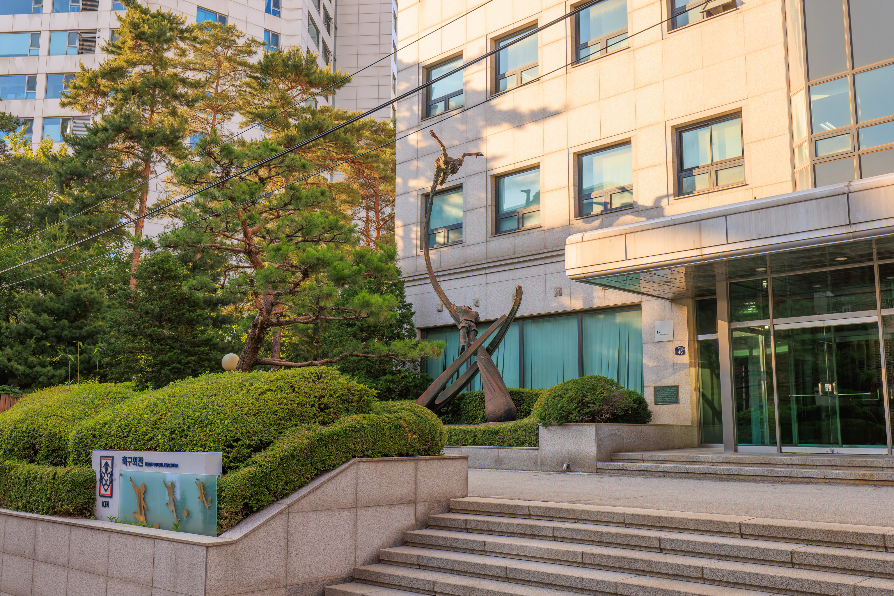
We walked down a small road on the north side of the museum. We walked by the Korea Football Association on the way. There was a sculpture outside of a footballer kicking a ball.
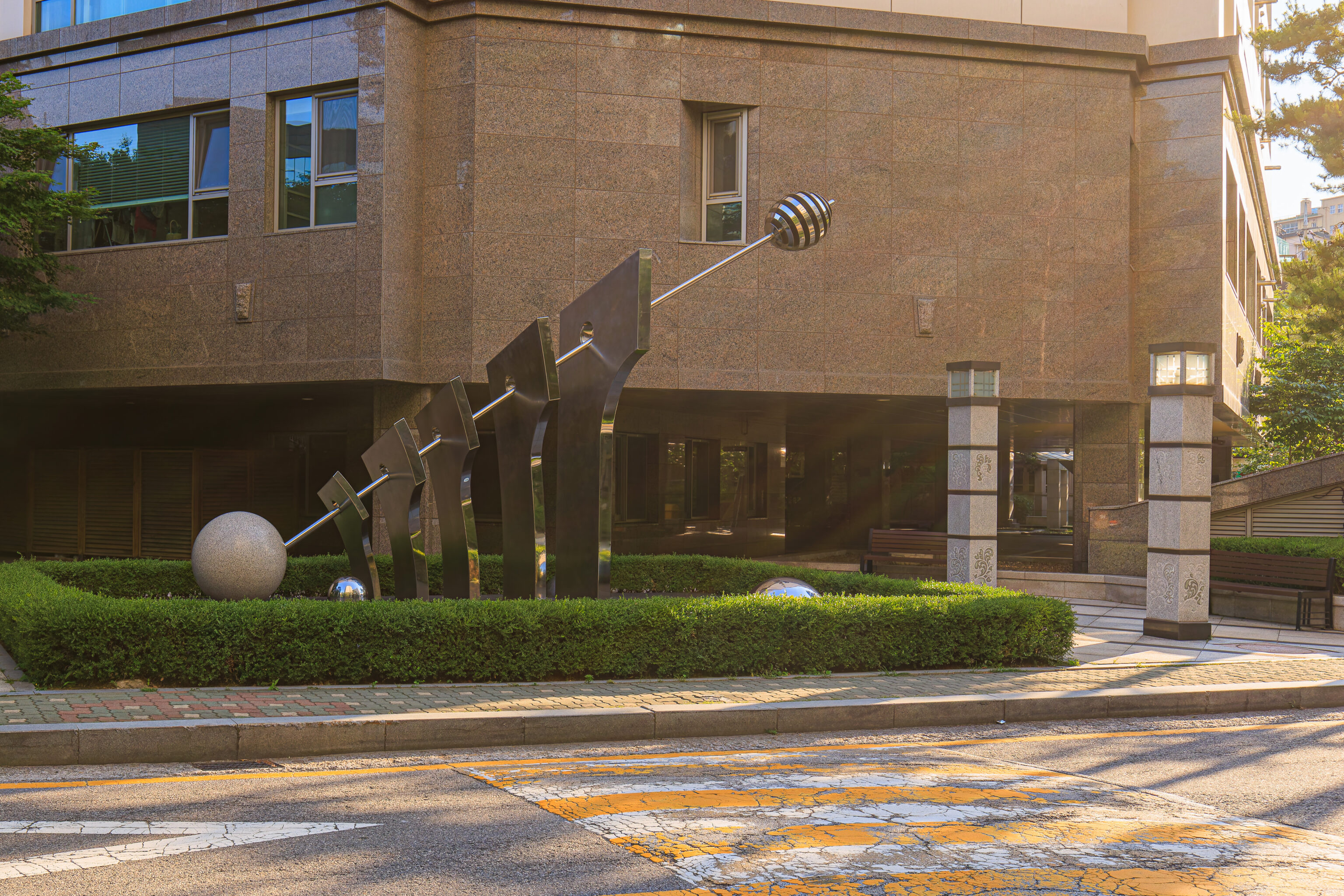
Across the street, we saw this sculpture. Not sure what it is supposed to be.
After finding an underpass to cross a very busy road, we were at the small park that surrounds the Sajik Altar.
The interior section of the Sajik Altar was not accessible so we could only look in from one of the closed gates. A sign describes the altar:
Sajikdan literally means altars for the gods of land and grain. Sacrificial rites were performed here to the spirits of land and grain. In traditional agricultural society, Sajikdan and Jongmyo Shrine symbolized the spiritual foundation of the dynasty. King Taejo, founder of the Joseon Dynasty, built Jongmyo to the east and Sajikdan to the west of Gyeongbokgung Palace in 1395, when he moved the capital to Hanyang, modern Seoul,

The altar for the gods of land, Sadan, is to the east, and that for the gods of grain, Jikdan, is to the west, Both one-meter-high altars are 7,65m square and bordered by low walls, and they are together surrounded by higher outer walls with four gates, one in each direction, Facilities where preparations were made for rites once stood outside the outer walls,

When Korea was occupied by Japan in 1910, the rites performed here forcibly discontinued and buildings were removed, Only the two altars were permitted to remain, and this once sacred ground was made a park, In the 1980s, the walls and buildings were restored. The descendants of the royal Jeonju Lee clan, Daedong Jongyakwon, revived the ritual at Sajikdan in 1988 and perform it annually.
A cluster of buildings, described as the 전사청 Jeonsacheong Area, is located just to the west. The original buildings were destroyed by the Japanese but were rebuilt recently in 2021. A sign provides some more details:
This is the area where foods were prepared for rituals performed at the Sajikdan Altar. Major facilities include the Jeonsacheong, where an official known as the jeonsagwan inspected the foods for the rituals, the Jegigo, where ritual vessels were stored, the Jammulgo, where a wide variety of articles were kept, the Jaesaengjeong where the sacrificial cows, lambs, and pigs were slaughtered, and the Chanmandae, where the foods for the rituals were stored. In addition, there are the Subokbang, where the functionaries and servants resided, the Jeoguga*, and a well. All of these facilities were demolished during the period of Japanese occupation. The area was later used as a park but was restored in 2021.

* The Jeoguga was a space for grinding grain with a mortar
The Sajik Altar, as seen from the entrance to the Jeonsacheong Area.
Sejong Village Food Street
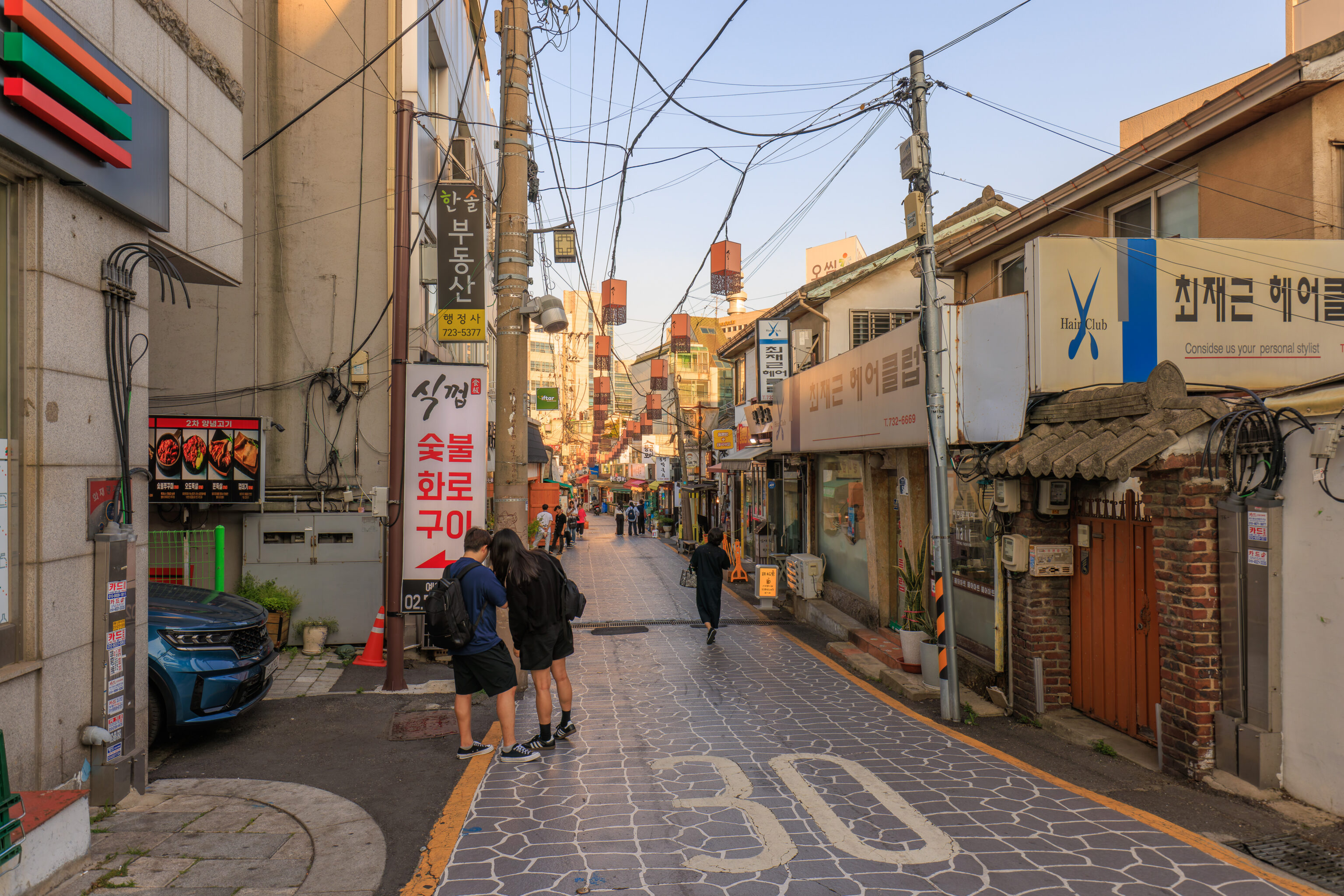
Rather than head back to Hongdae, we decided to get food nearby. We ended up at the 세종마을 음식문화거리 Sejong Village Food Culture Street within 서촌마을 Seochon Village. Sejong Village and Seochon Village seem to refer to the same area as the birthplace of King Sejong and as the area west of Gyeongbokgung. There were many restaurants and shops along this narrow lane.
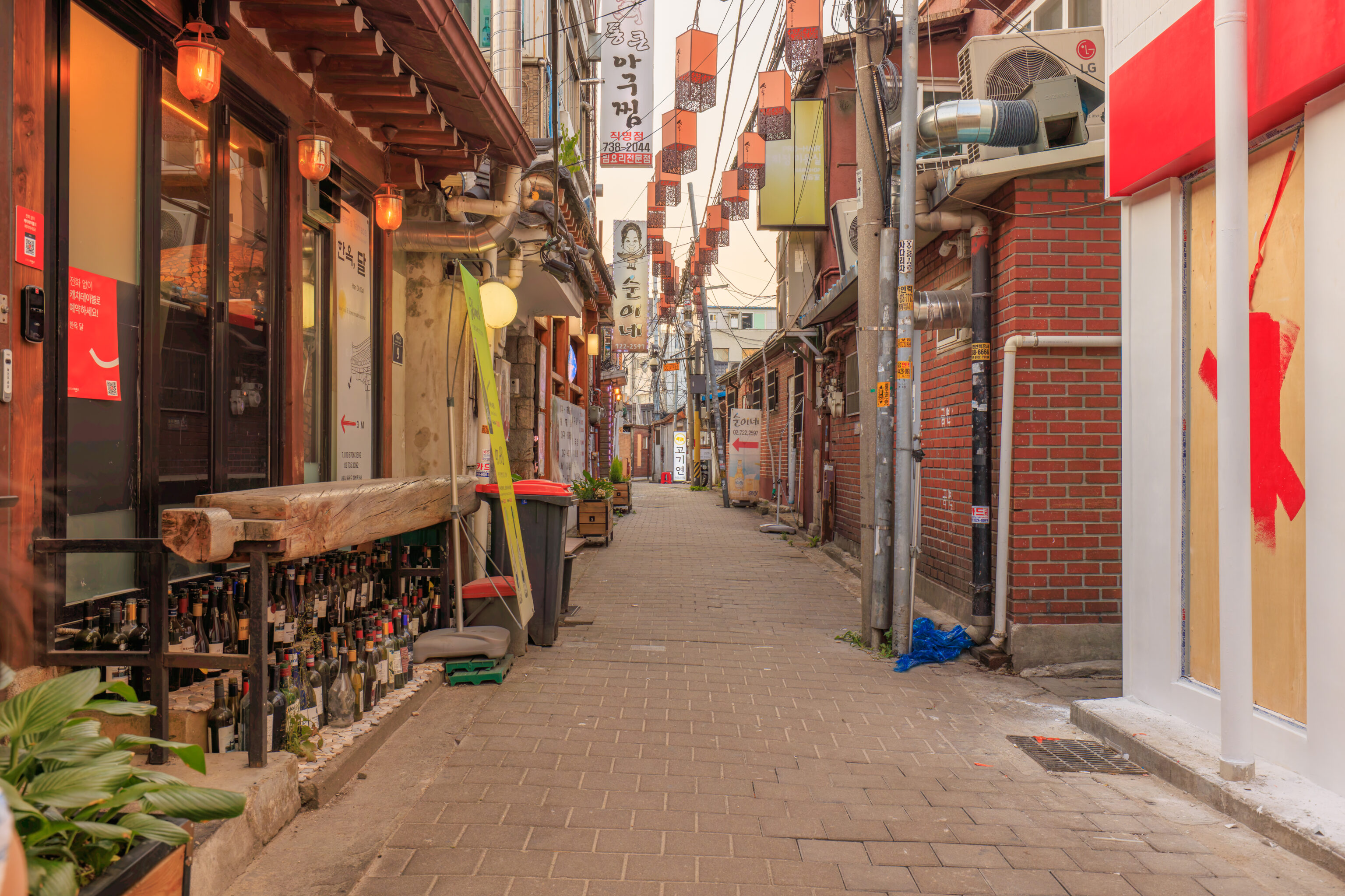
We weren’t sure where we wanted to eat as this is our last night in Korea. We ended up going down this narrow side lane to reach 김진목삼 Gimjinmoksam. This is actually the restaurant’s second location with the first at the western entrance to the food street.
The restaurant’s specialty is pork. They have just 3 options – neck, shoulder, and belly. The first order must be two of the same thing but subsequent orders can be just one portion, all of which are 150g.
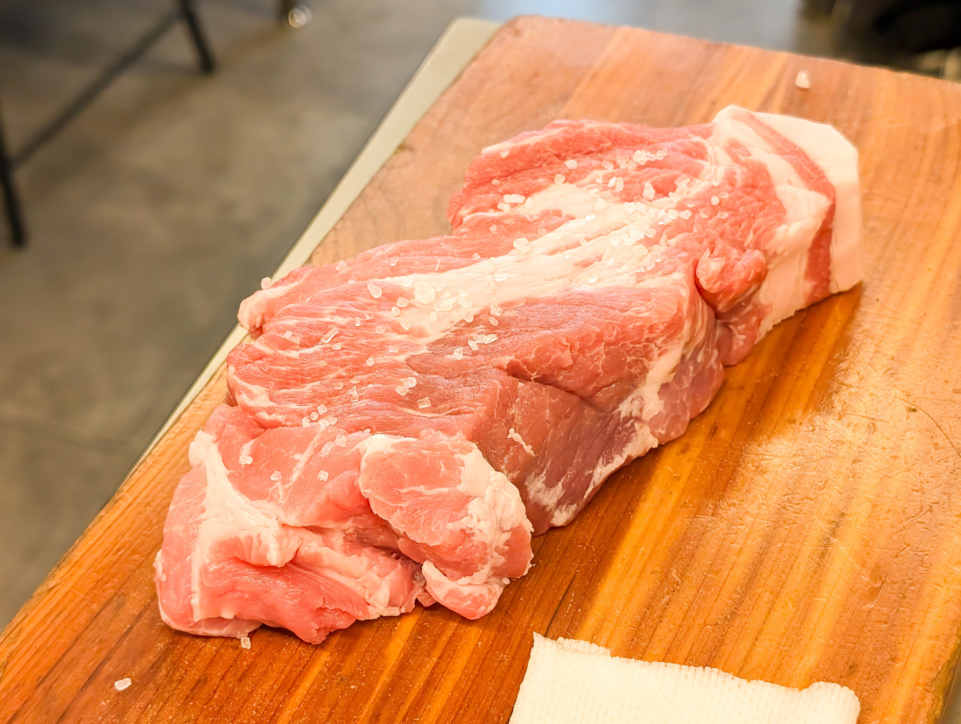
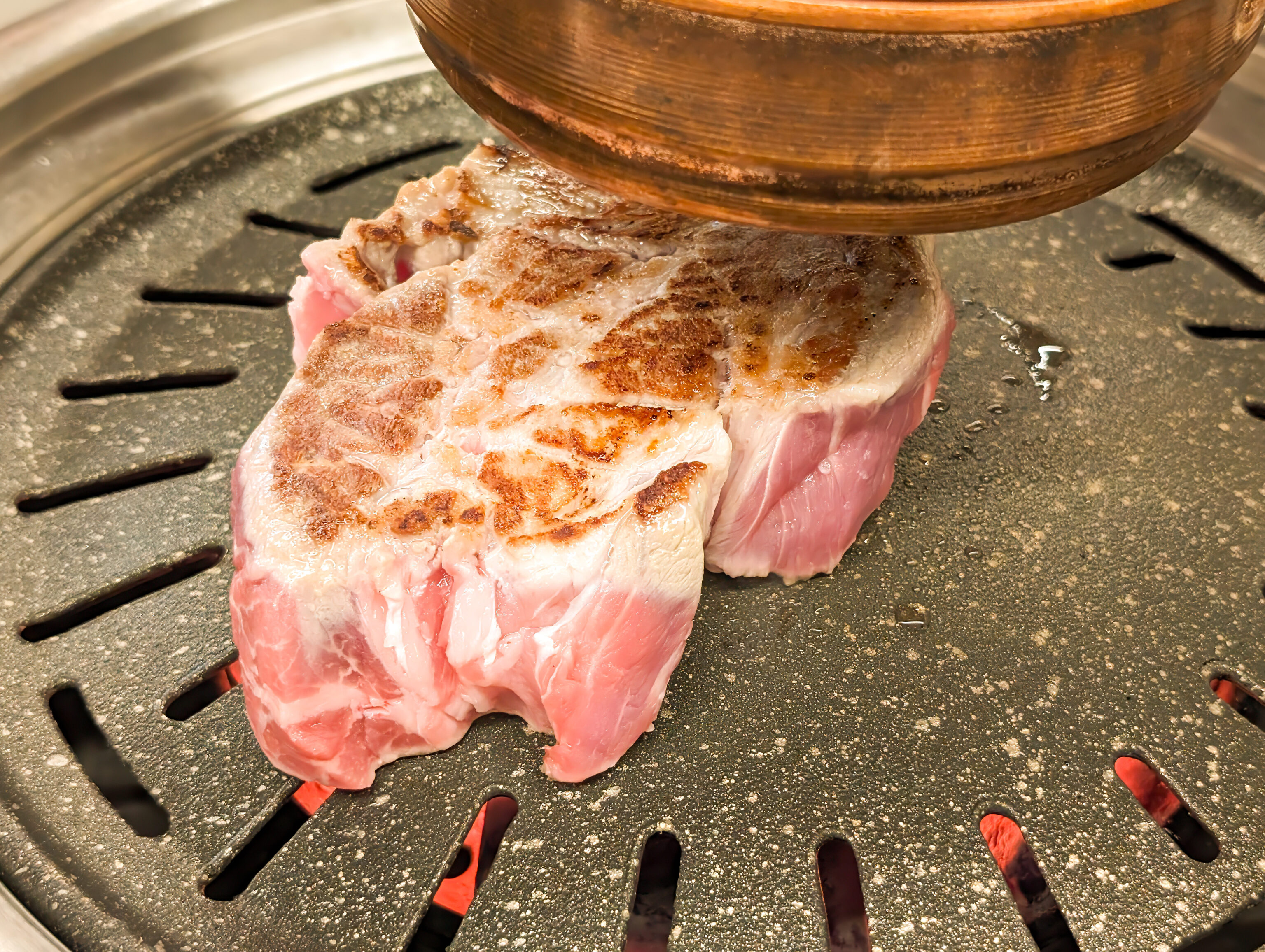
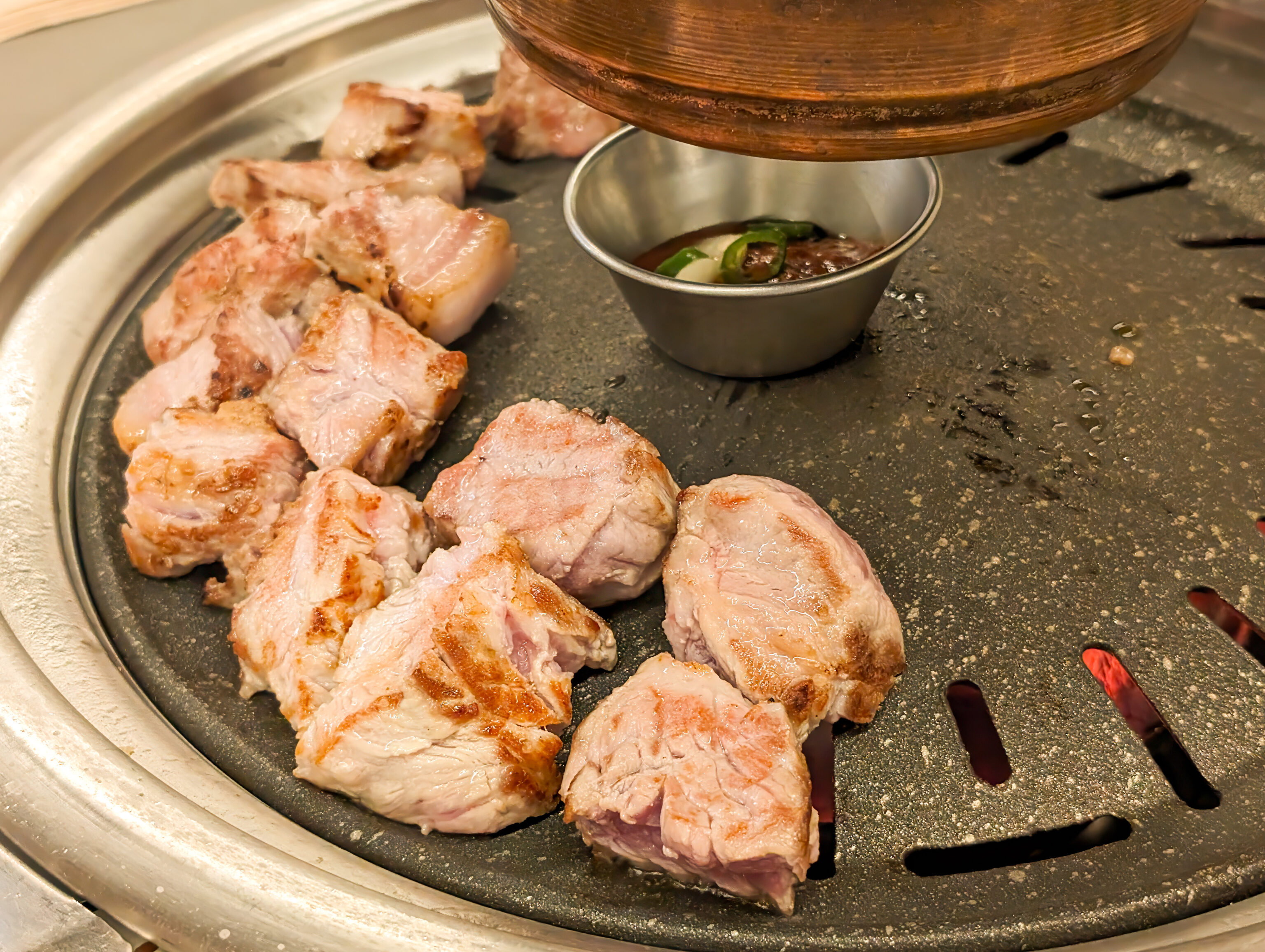
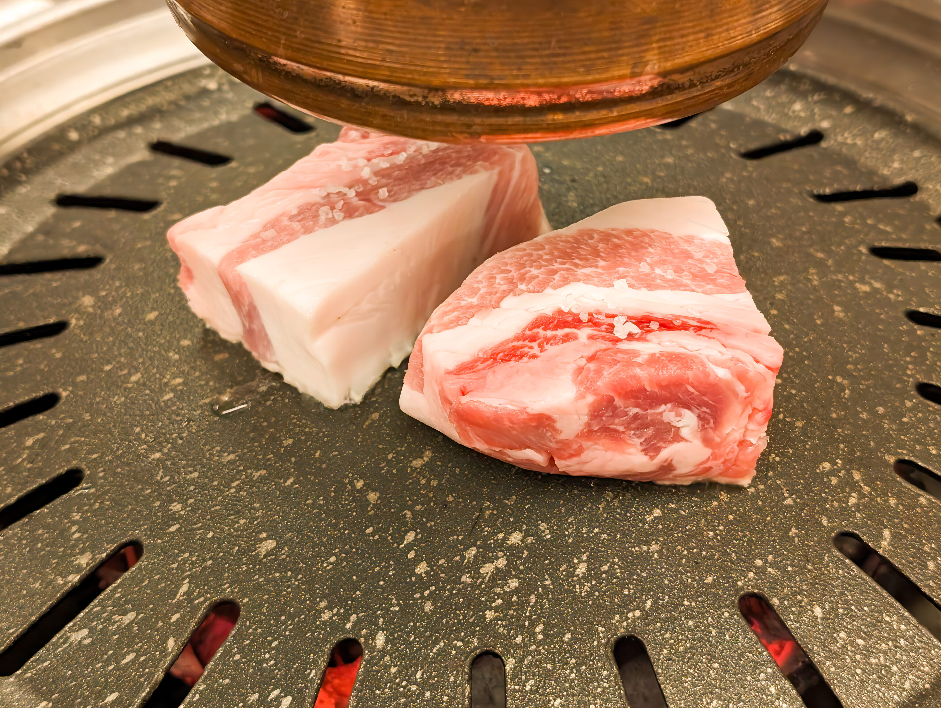
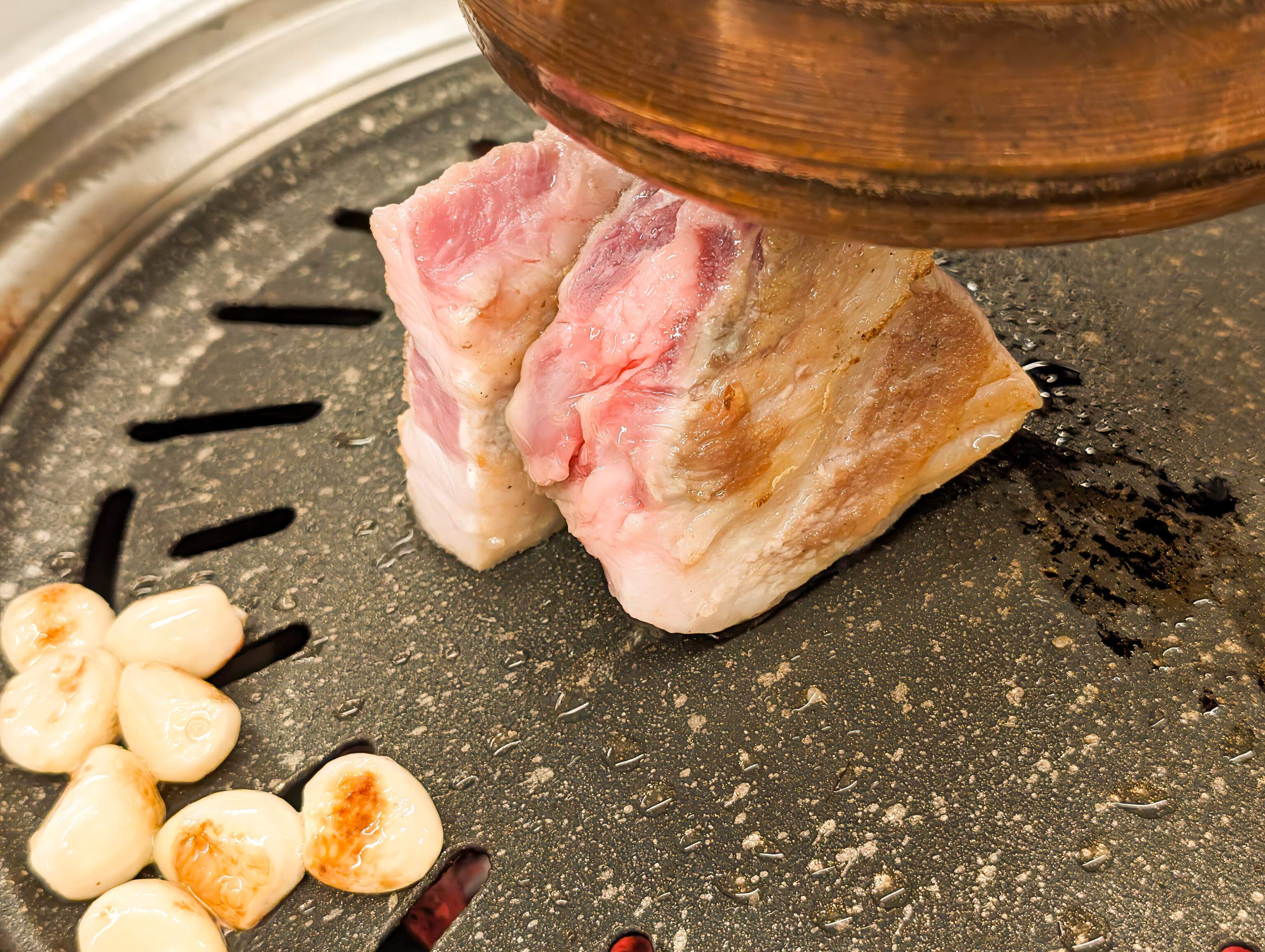
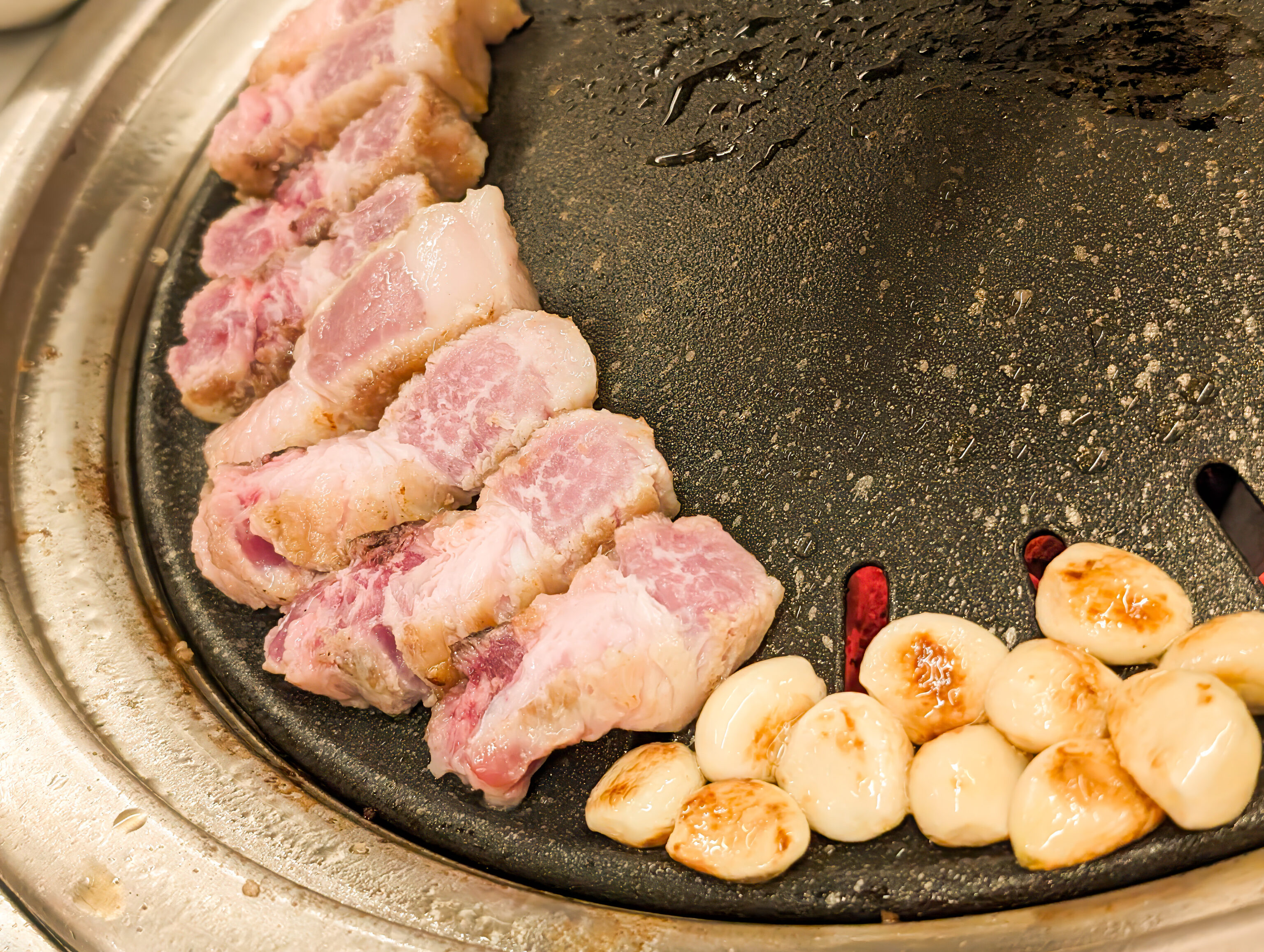
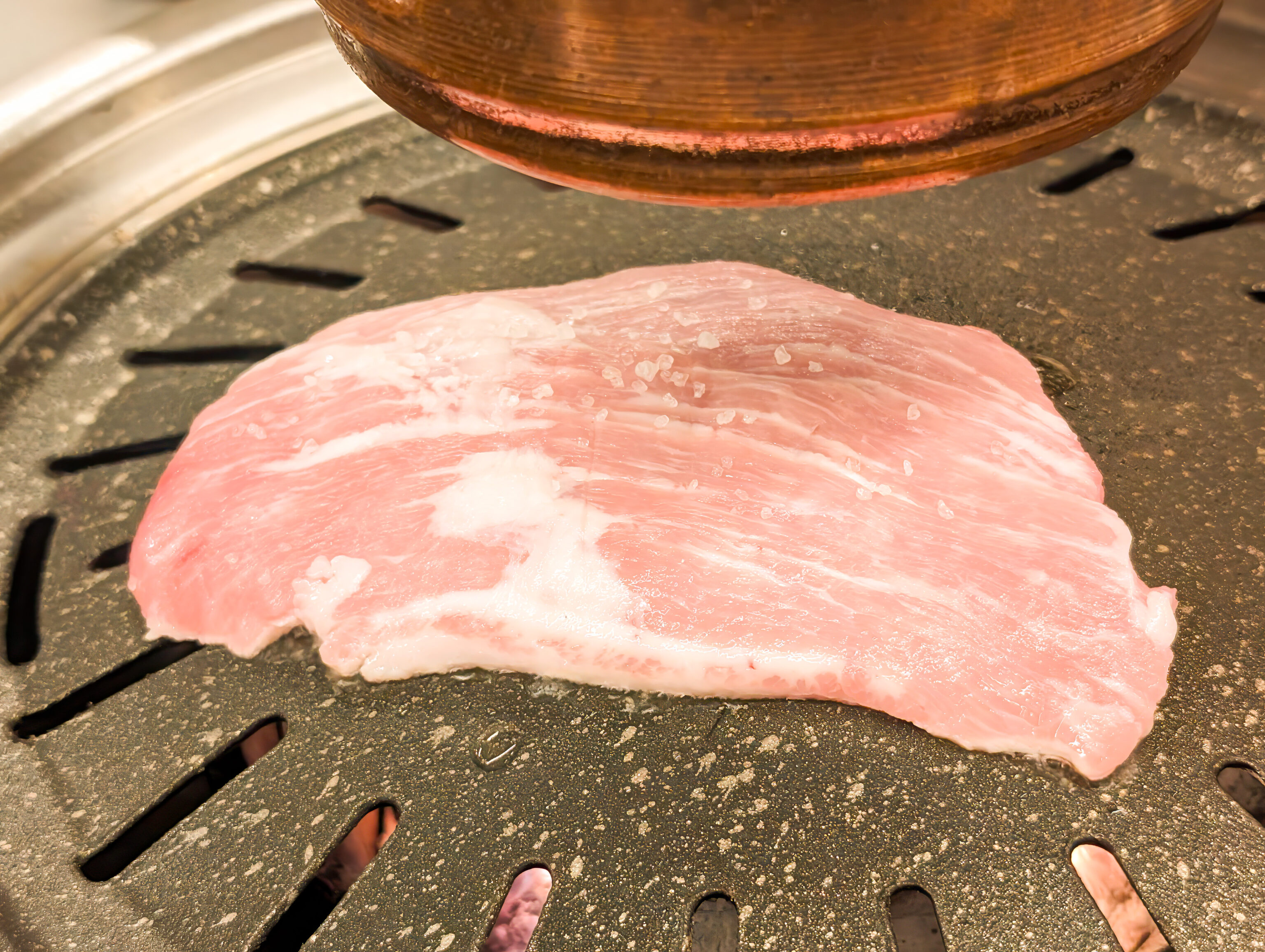
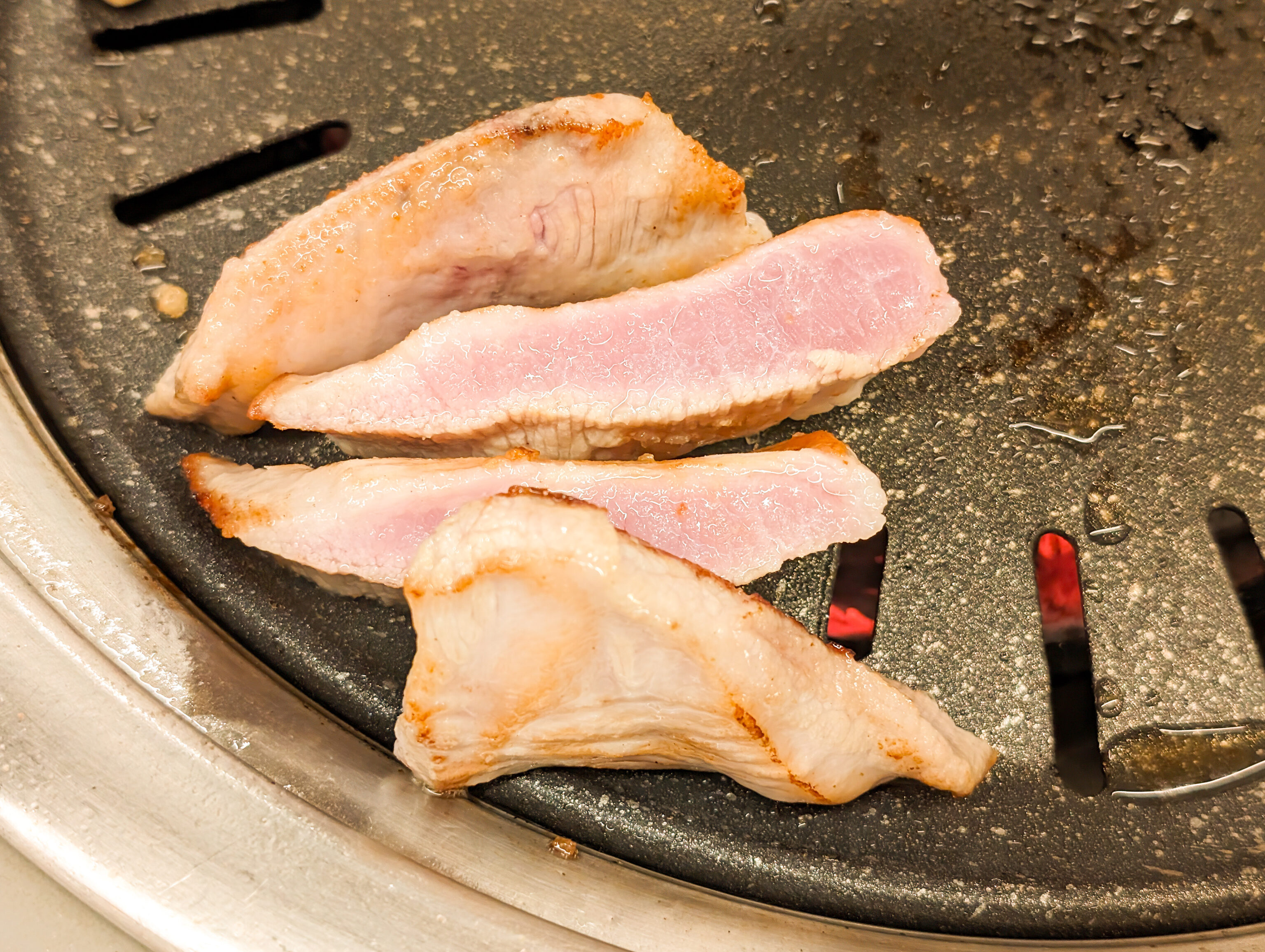
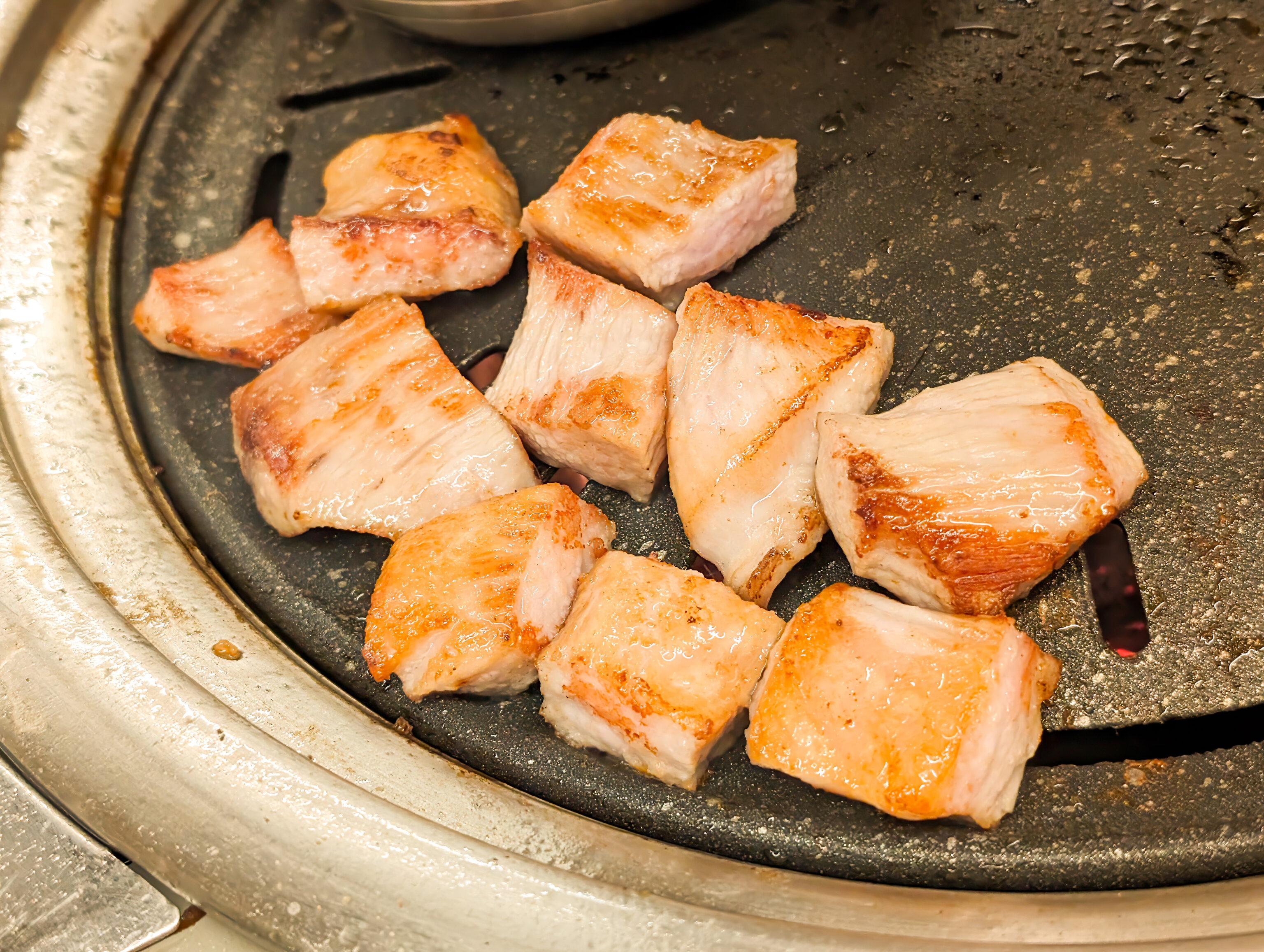
We started out with neck, followed up with belly, and ended with shoulder. Everything was great, much better quality than the pork we’ve had elsewhere. They do all the cooking as well and did a fantastic job!
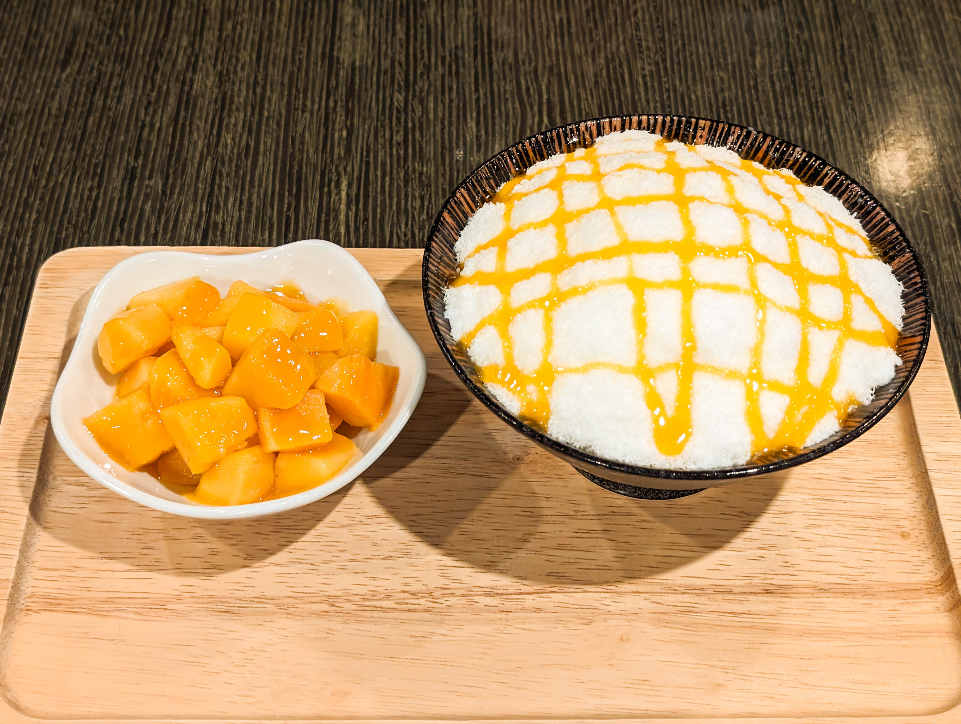
We had to get some dessert after our excellent dinner. We went to 통의동단팥 Tonguidong Red Bean Paste, a dessert cafe. It is located by Chicken in the Kitchen, the restaurant that we ate at on the first full day of this trip. Tonguidong was closed on that day so we did not visit.
We decided to get the mango bingsoo. The drizzle of syrup was very good, as was the milk ice. The mango was ok as well, better than we’ve had in other places here in Seoul though not close to the best we’ve ever had.
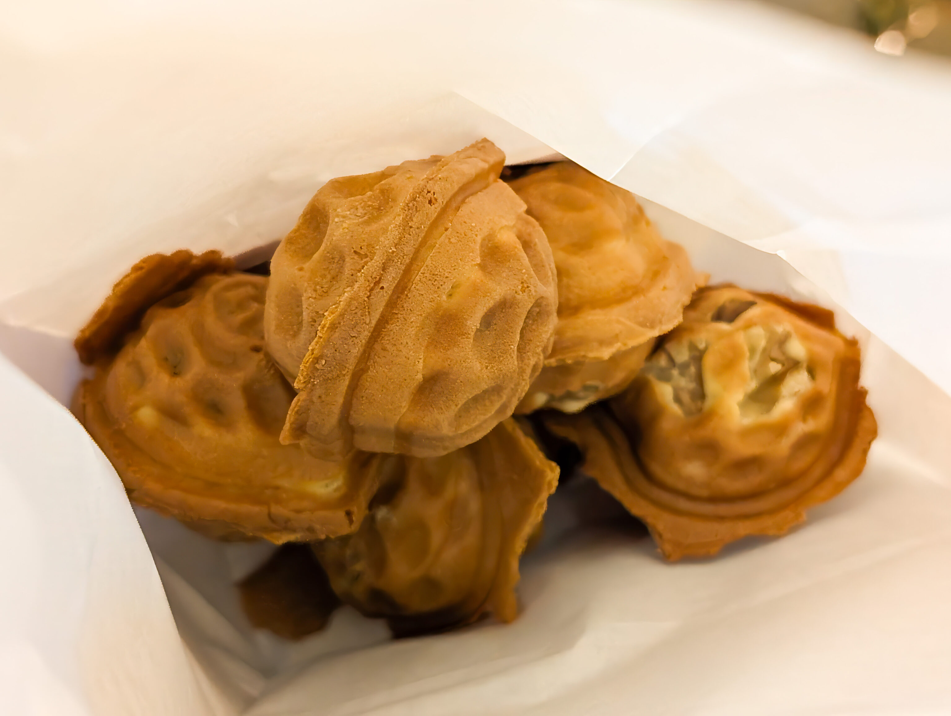
We got a little snack on our way to the bus stop before returning to Hongdae to end the evening.