
After having breakfast at the RYSE, we headed over to the Dongdaemun Design Plaza for a quick stroll by before walking along Seoul’s city wall to Naksan. We continued down the other side heading to Myeongdong for lunch. From there, visited N Seoul Tower, atop Namsan, where we saw a cultural demonstration and enjoyed the view from above.
Morning
Other than what seemed like a light layer of clouds, it was a good morning at the RYSE.


We went downstairs to have breakfast. One odd thing about breakfast is that although they do have an egg station, they don’t seem to make customized omelettes. Despite that oddity, it was still highly enjoyable.
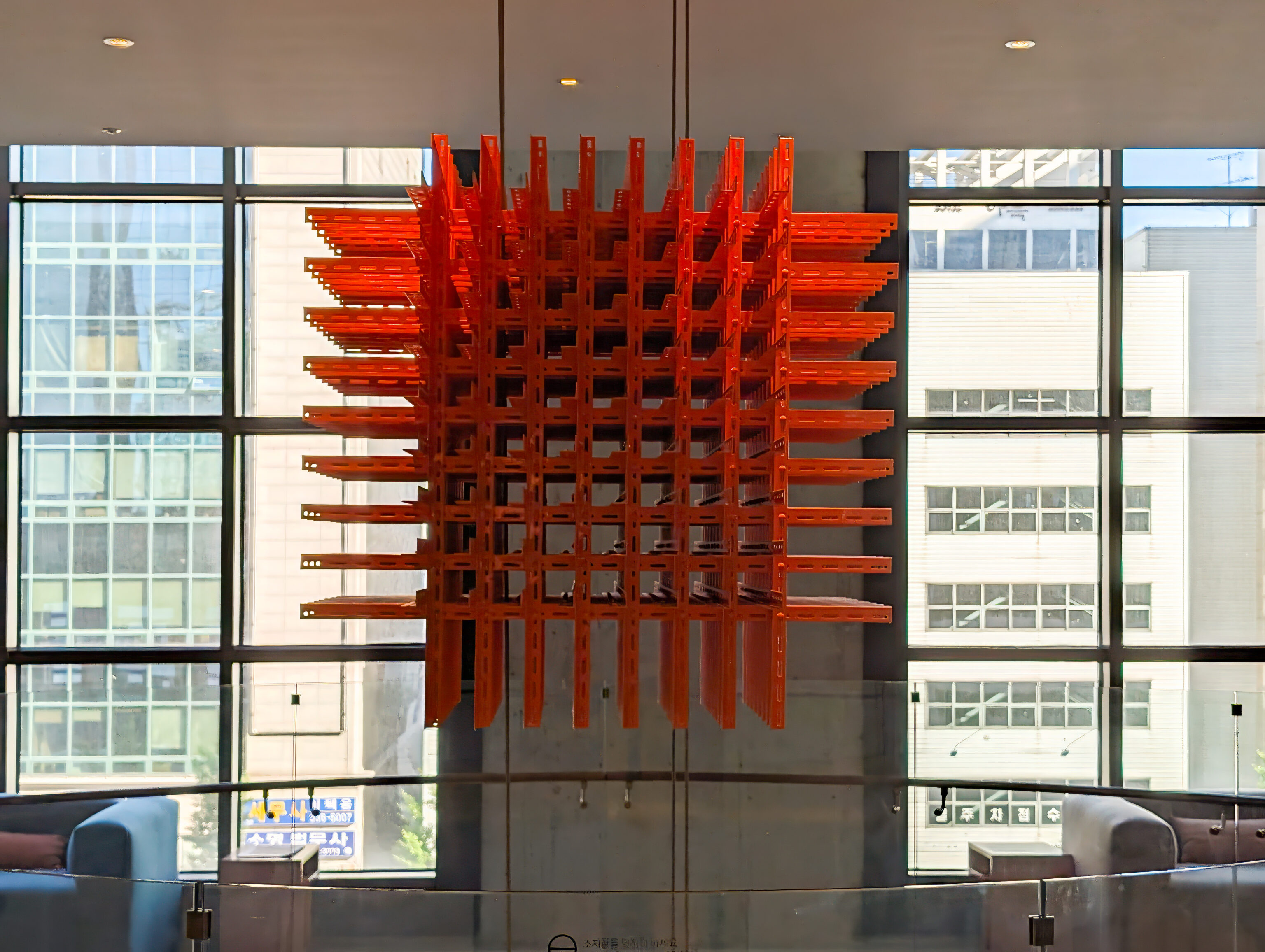
This sculpture, hanging between the restaurant and gym and above the lobby below, reminded us of a 3D version of the English Heritage logo.
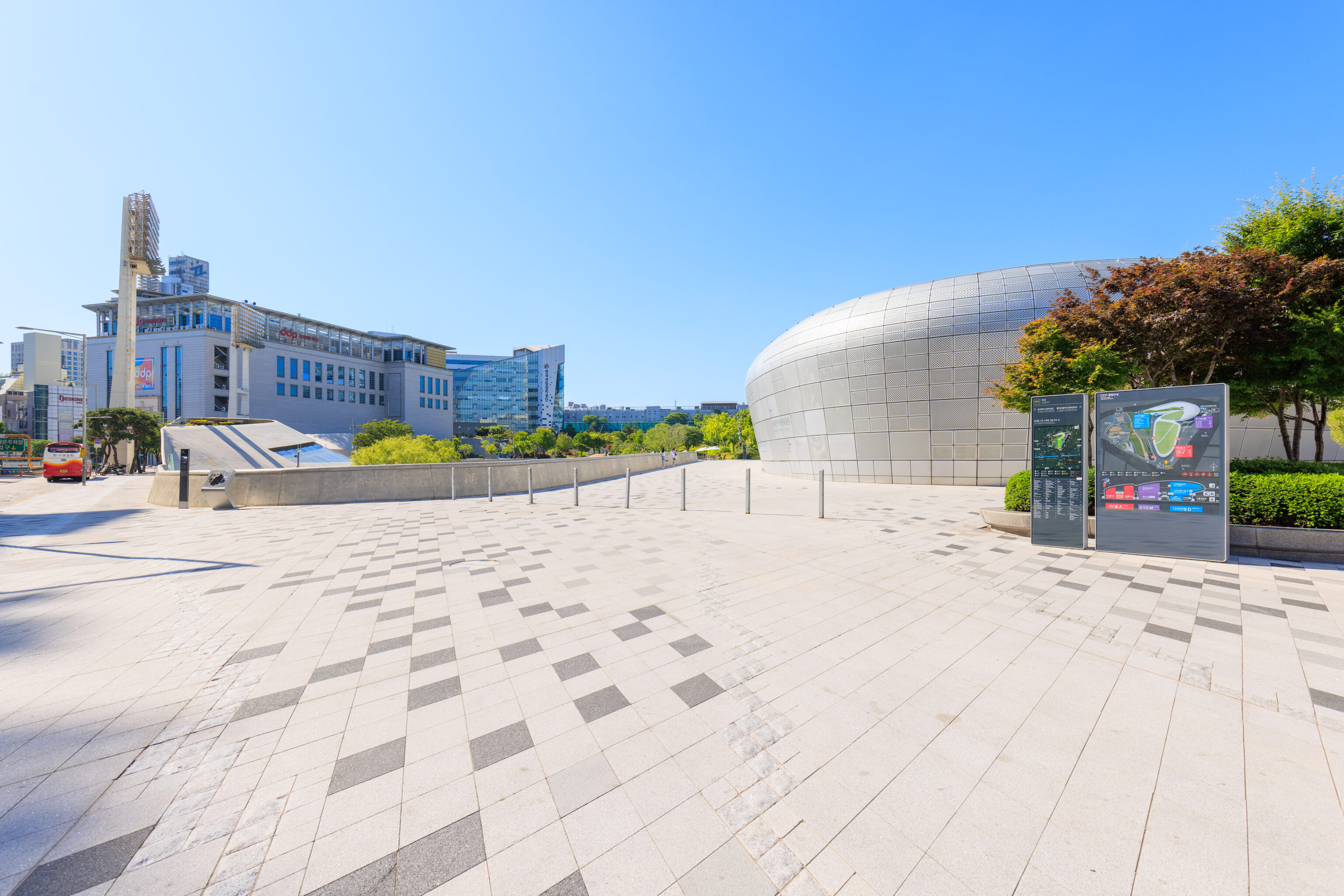
Dongdaemun Design Plaza
After breakfast, we took the subway to the Dongdaemun Design Plaza station. Line 2, which is extremely busy here in the morning during rush hour, goes there without needing to transfer.
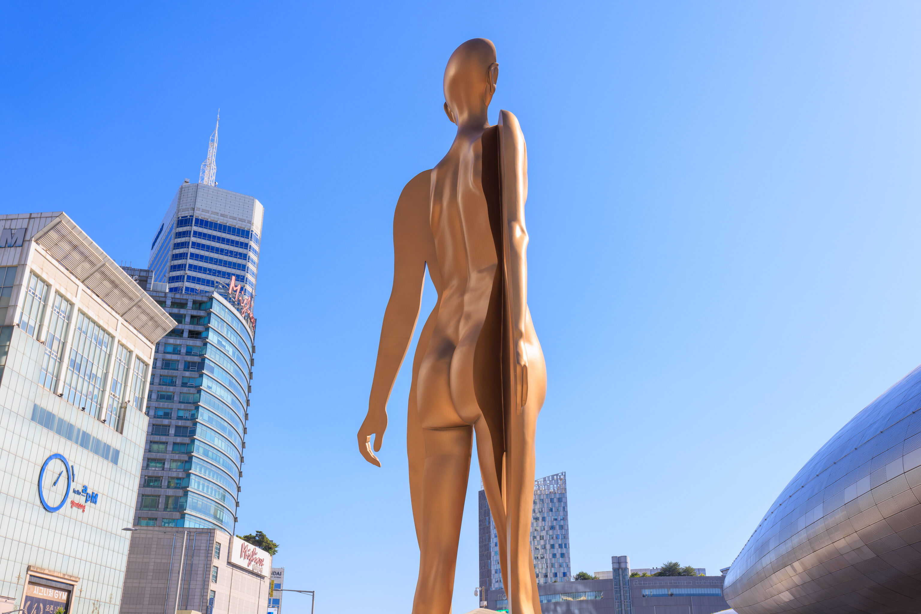
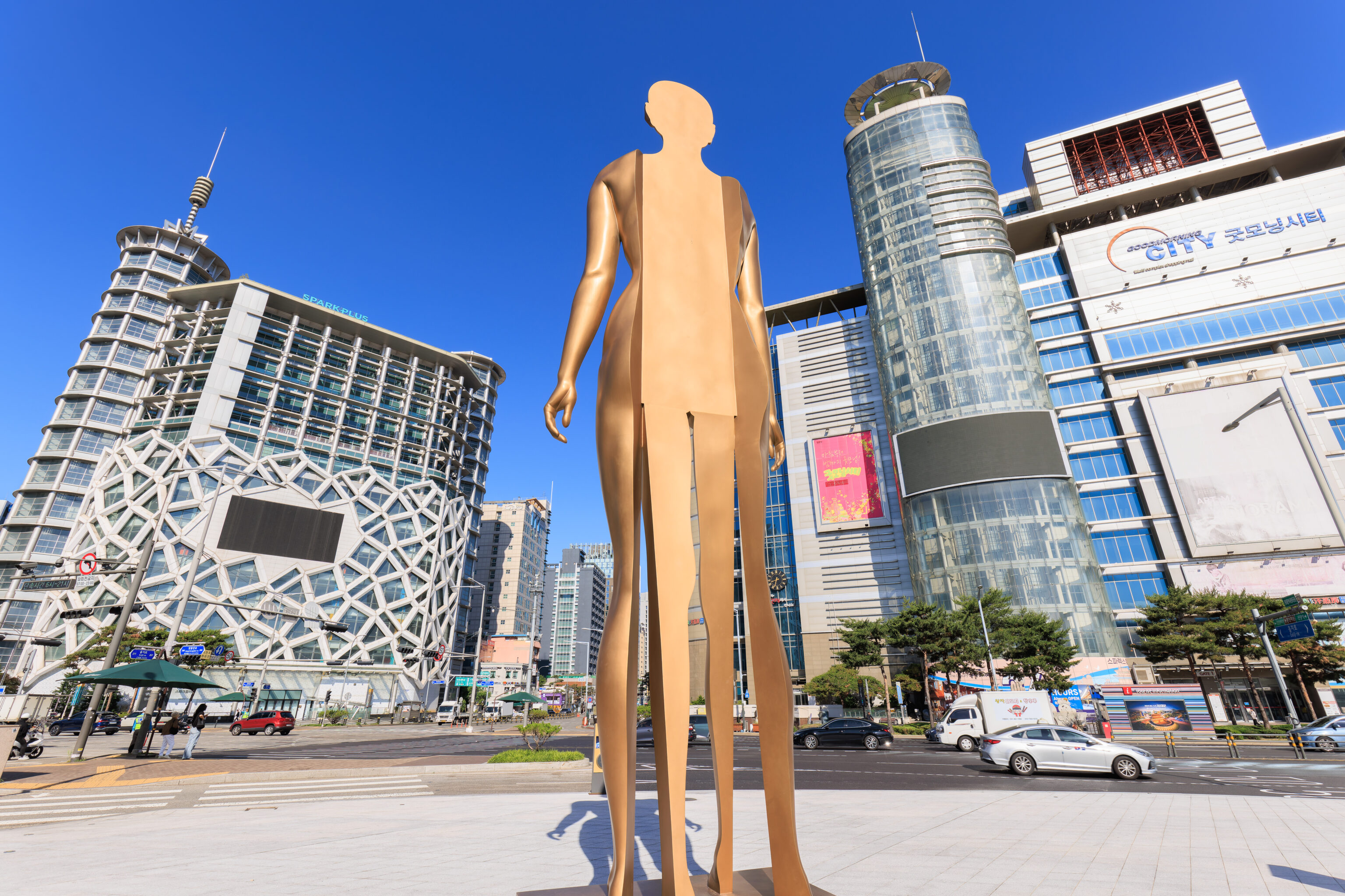
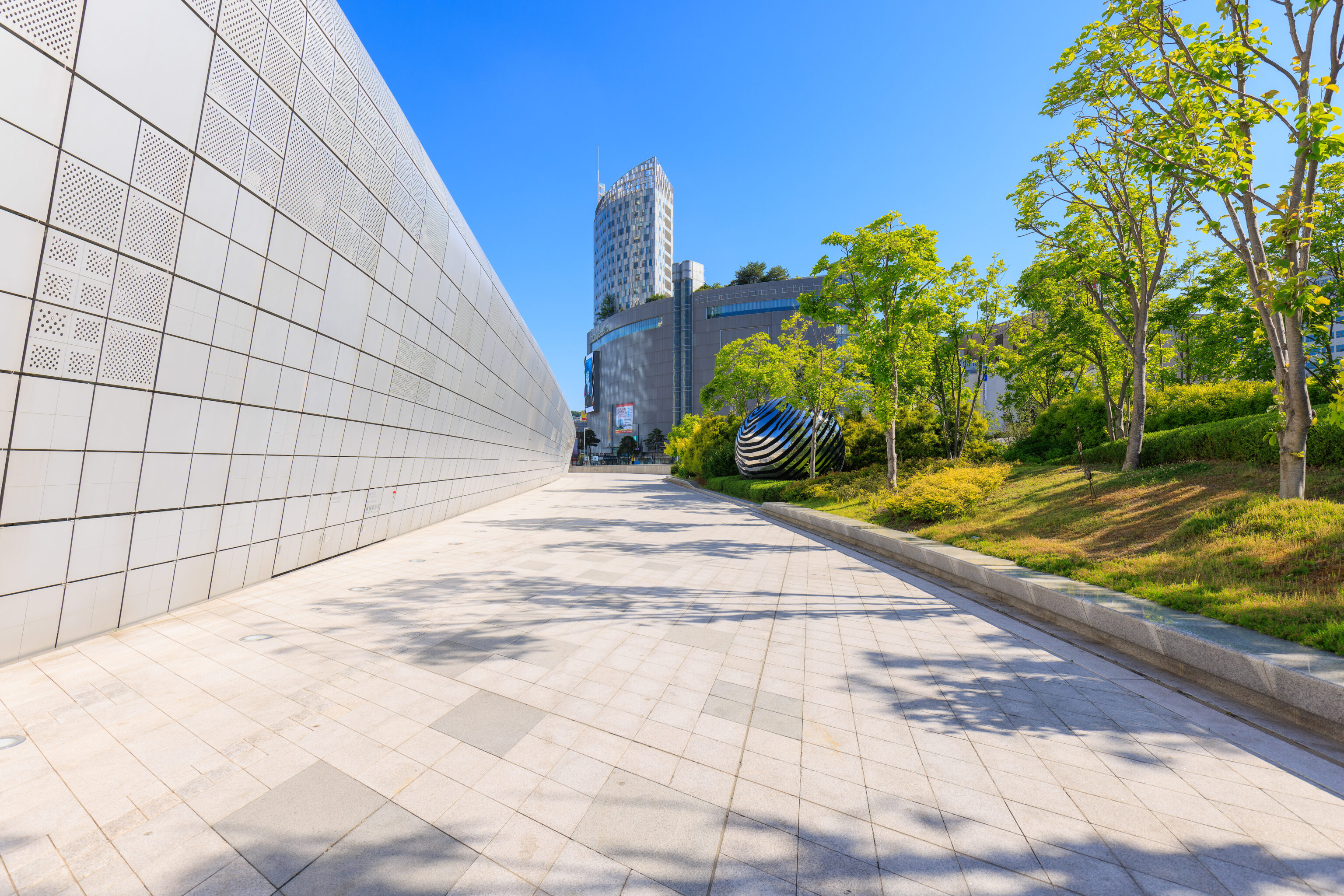
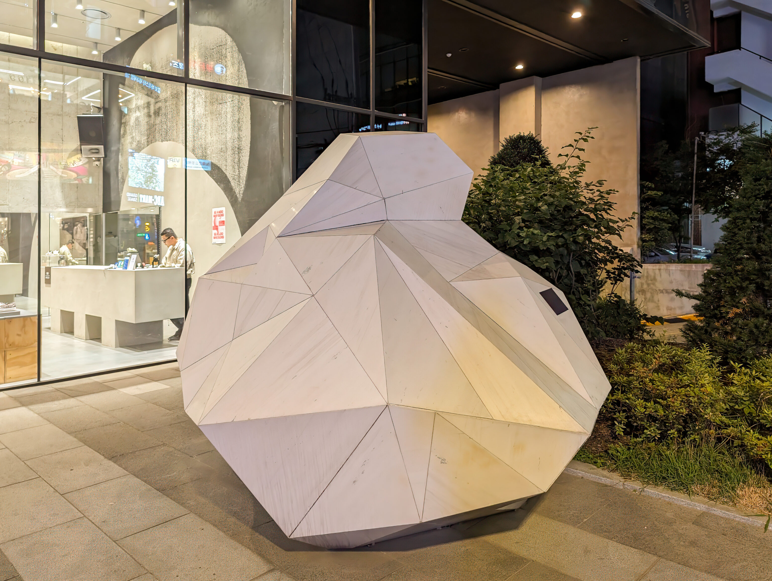
Upon exiting the subway station, we quickly came across this sculpture.
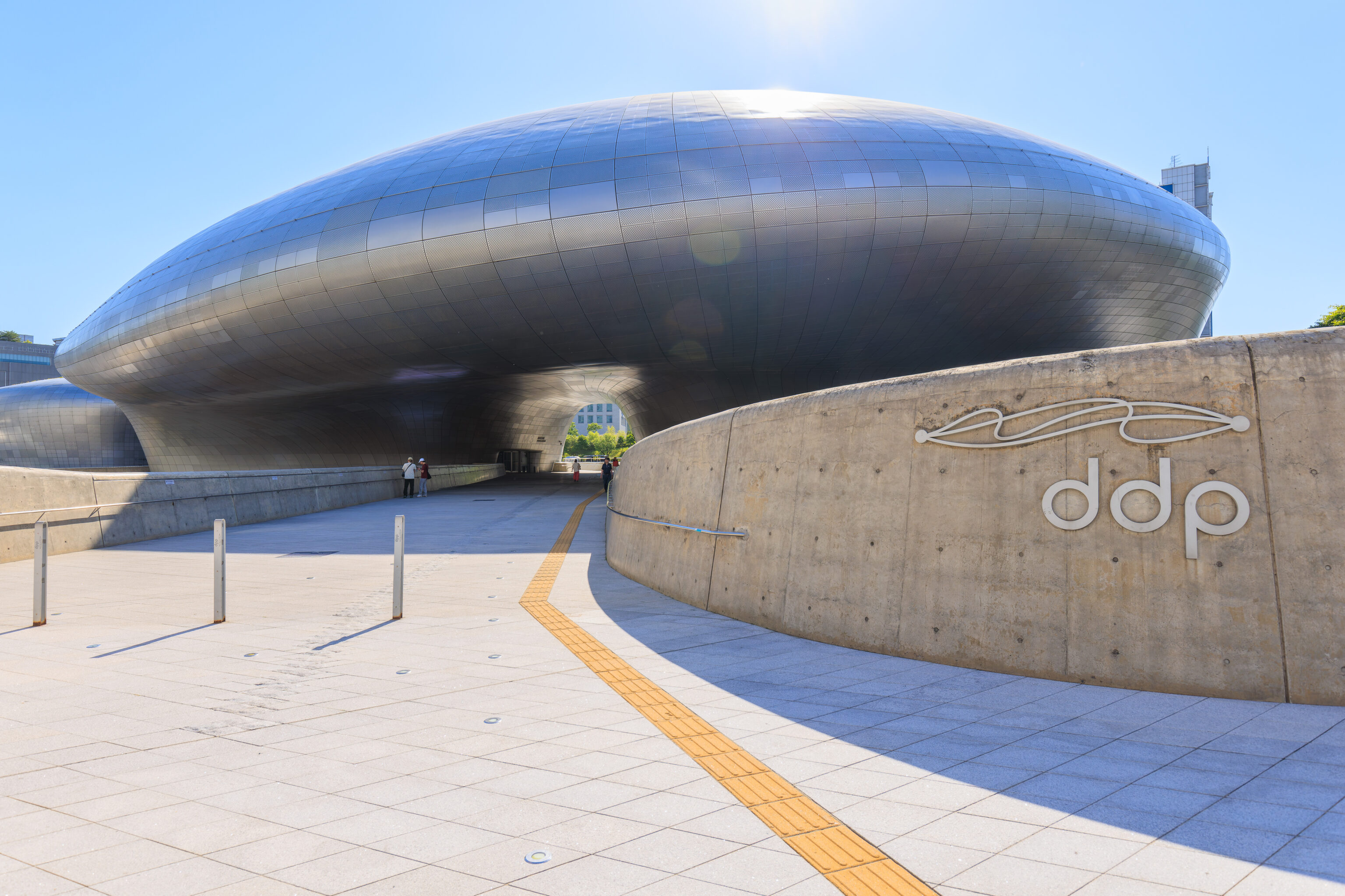
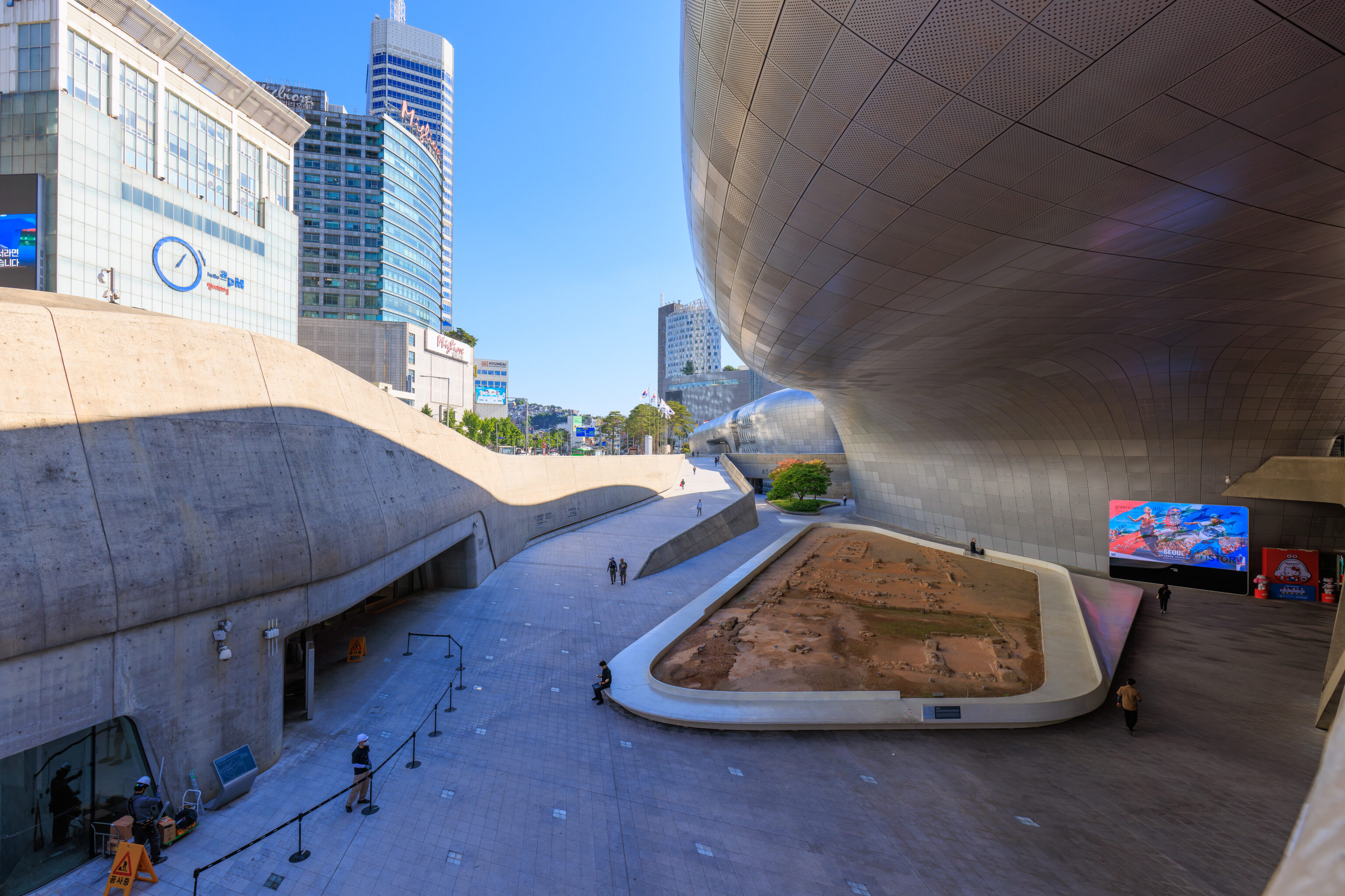
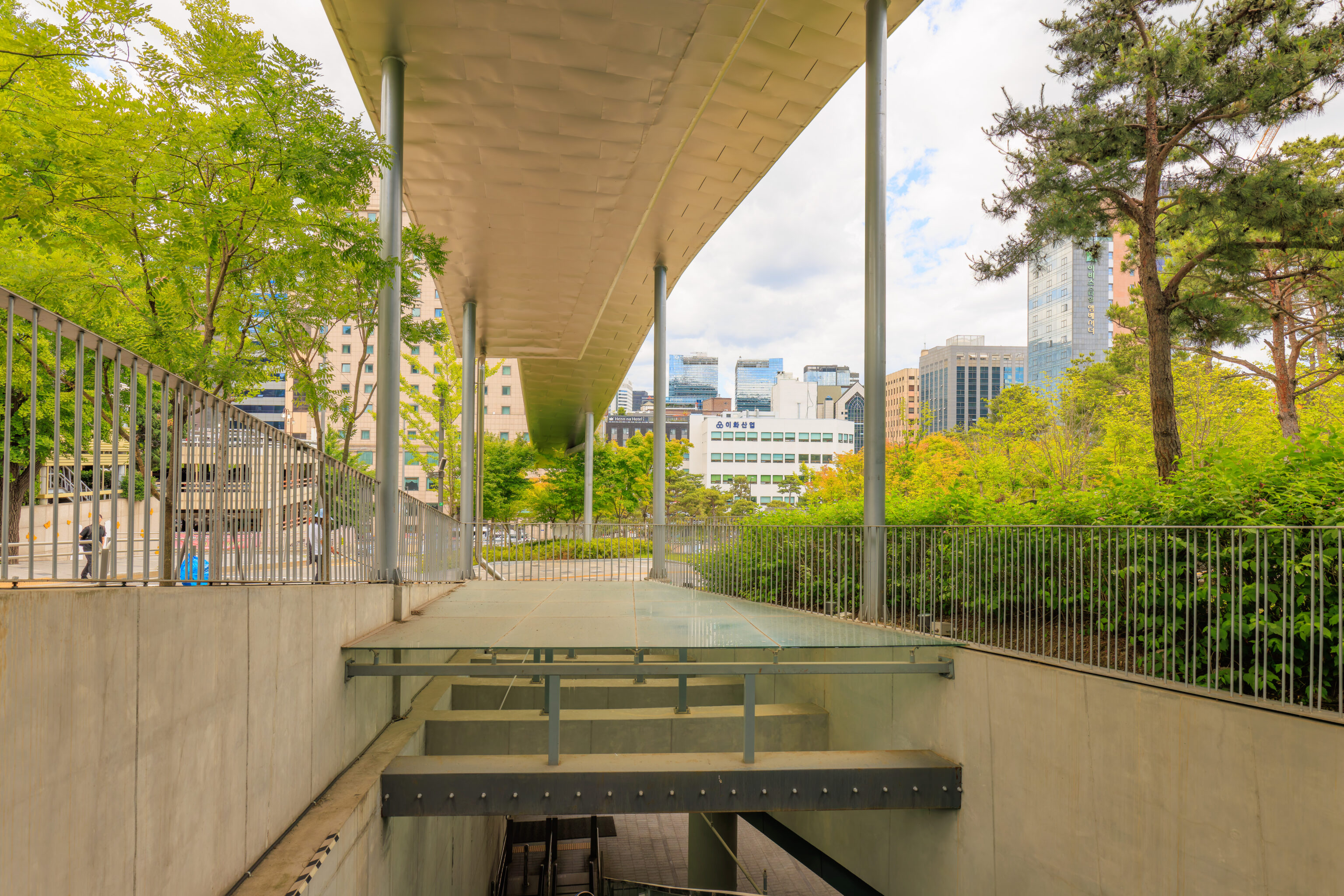
It stands in front of the Dongdaemun Design Plaza, also known as the DDP. The building was designed by famed architect Zaha Hadid. It’s exterior resembles a huge Apple product, or perhaps a future Elon Musk spacecraft. It also has a similar style to the BMW Welt, which we visited recently in Munich, Germany.
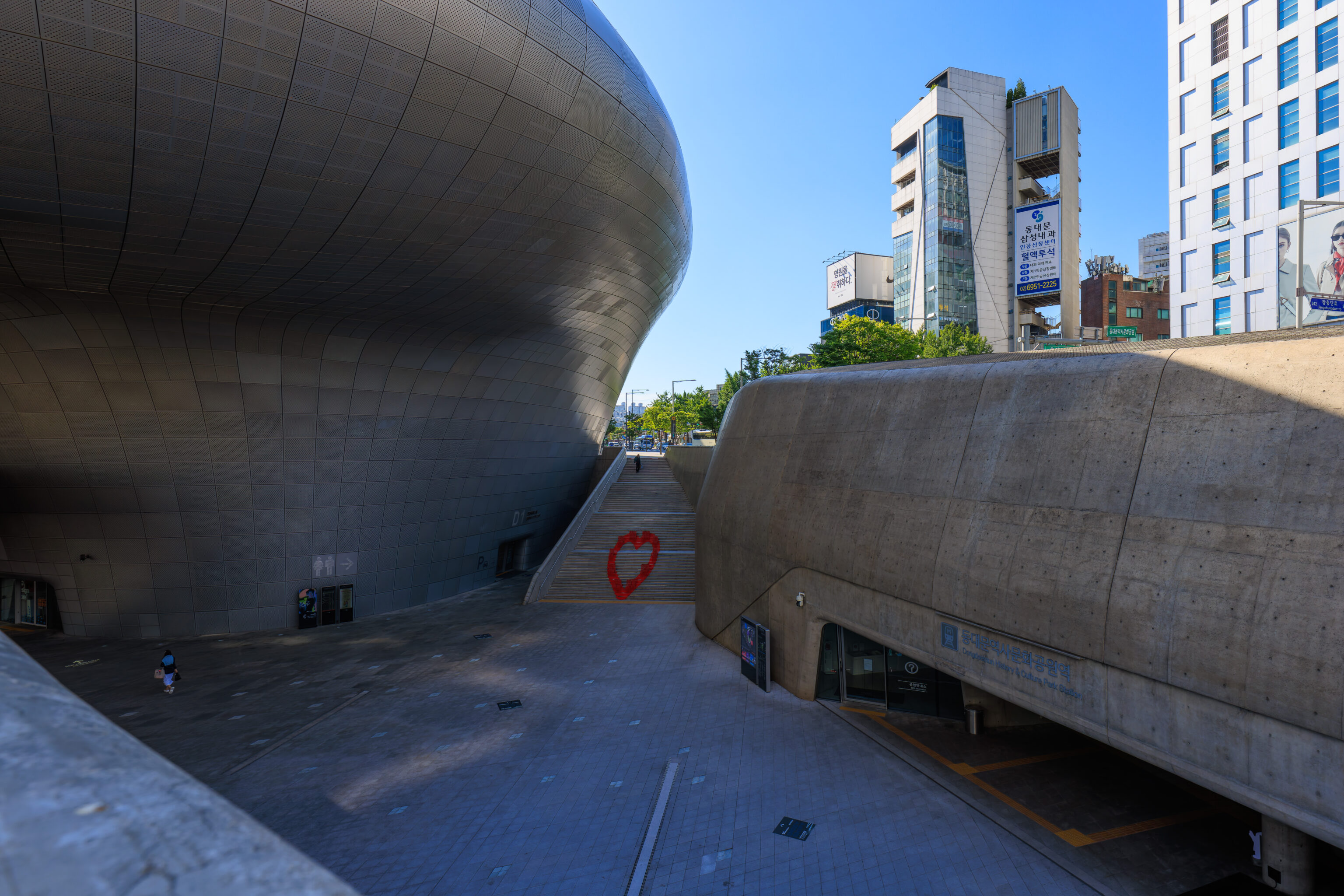
There is actually a huge entrance to the subway station below. We noticed a red heart sculpture on the stairs across from us.
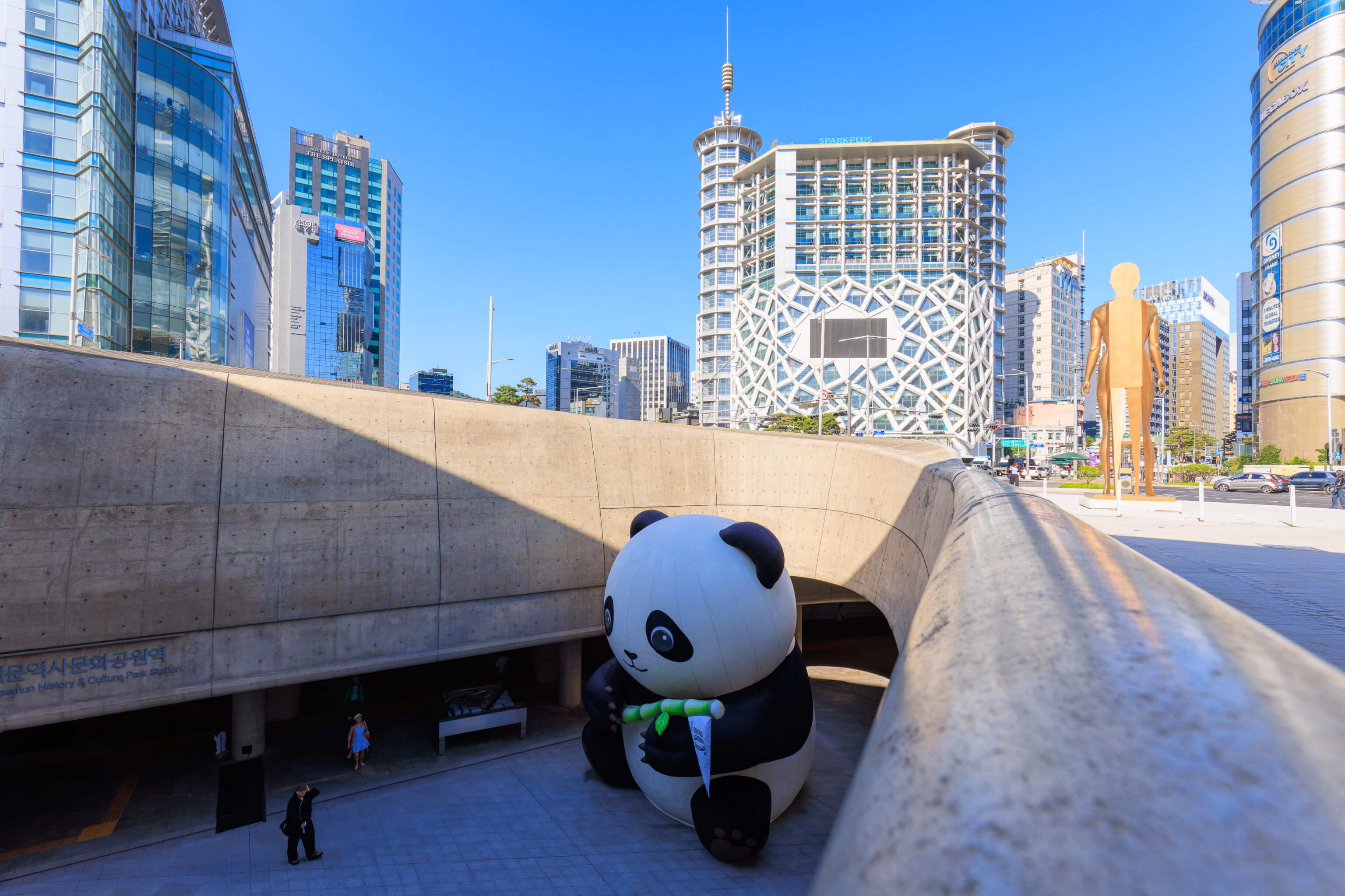
There was also a large panda below!
It was still pretty early in the morning at 8:30am. We decided to stay on street level rather than to descend below.
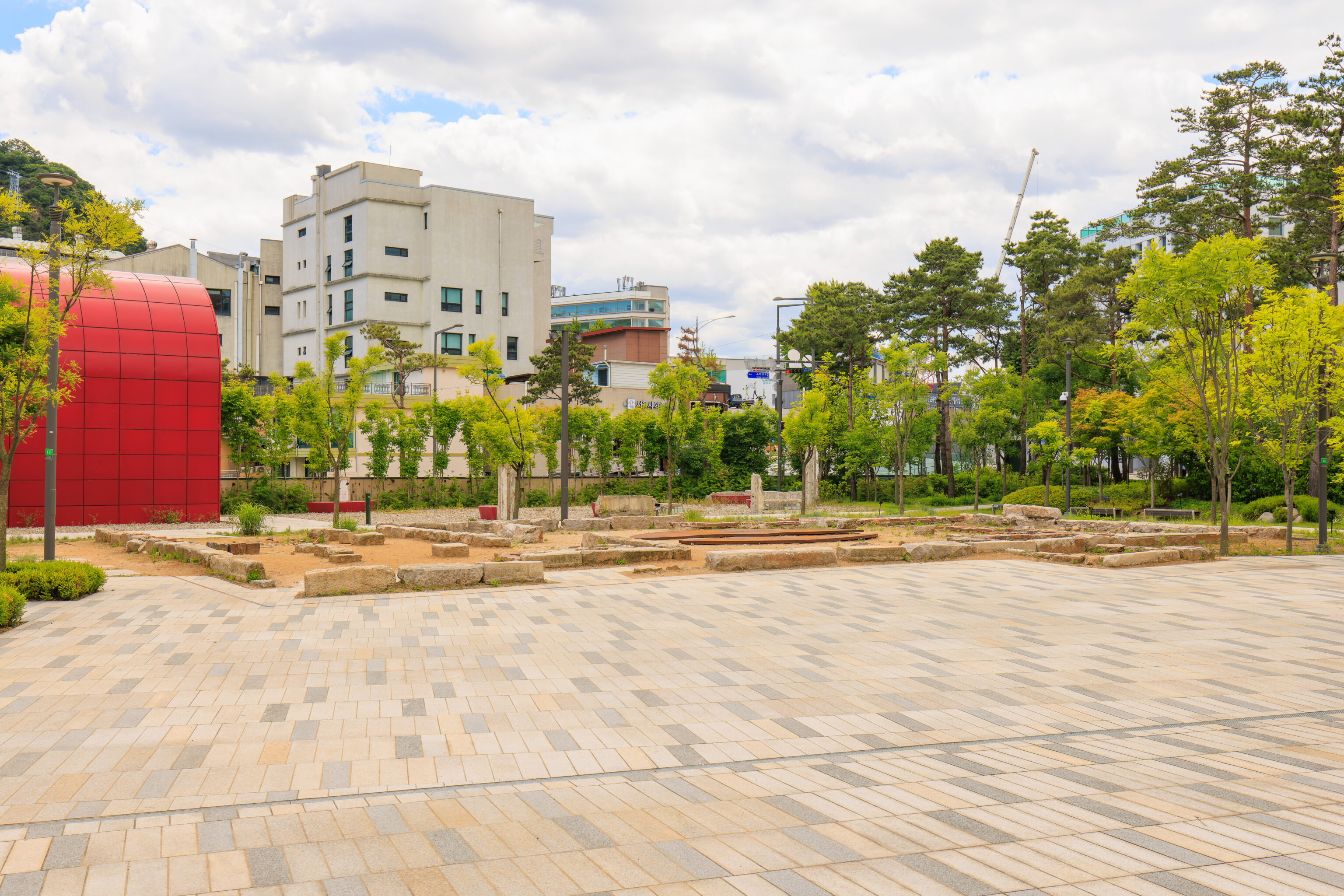
We noticed a small area with ruins below. They were discovered during construction of the DDP1. It seems some were preserved and integrated into site.
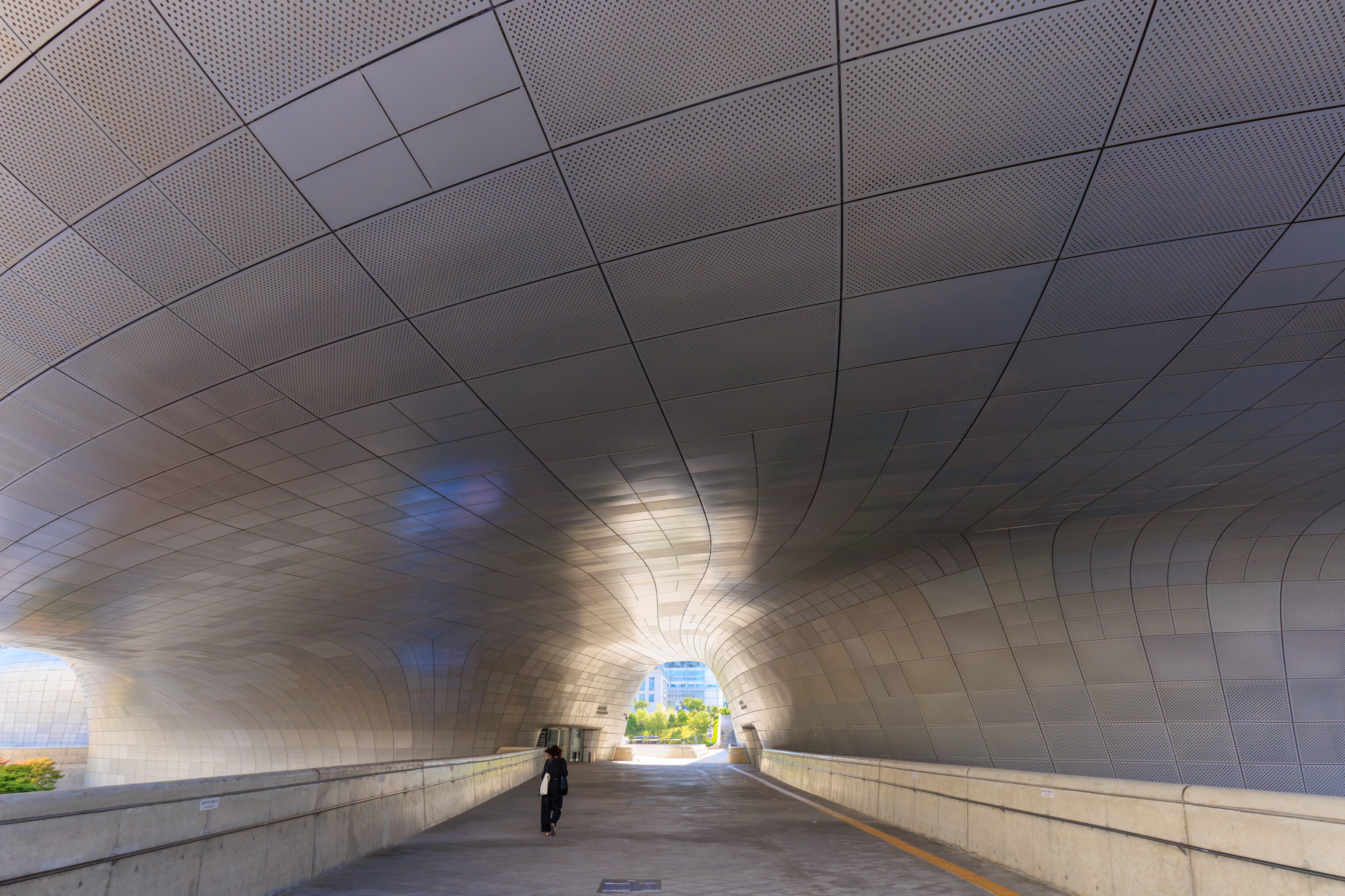
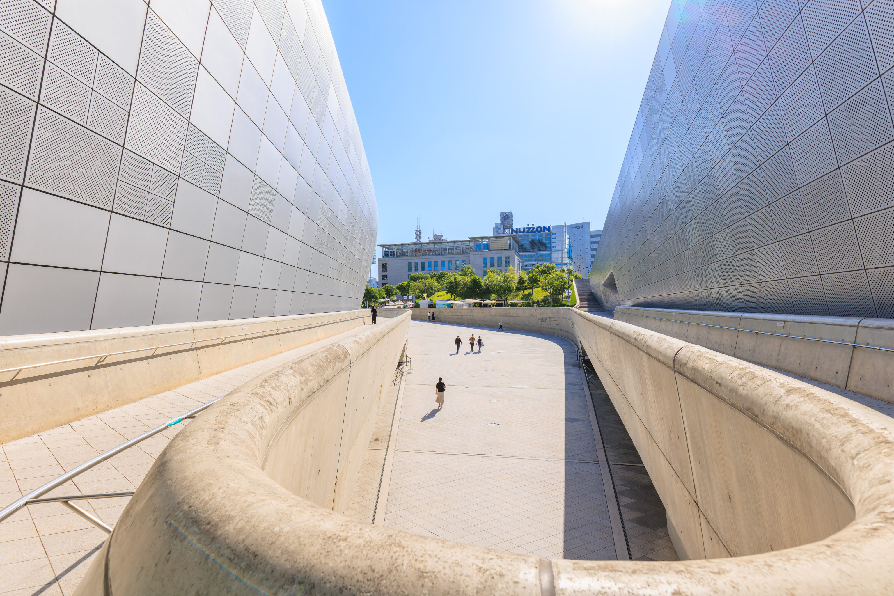
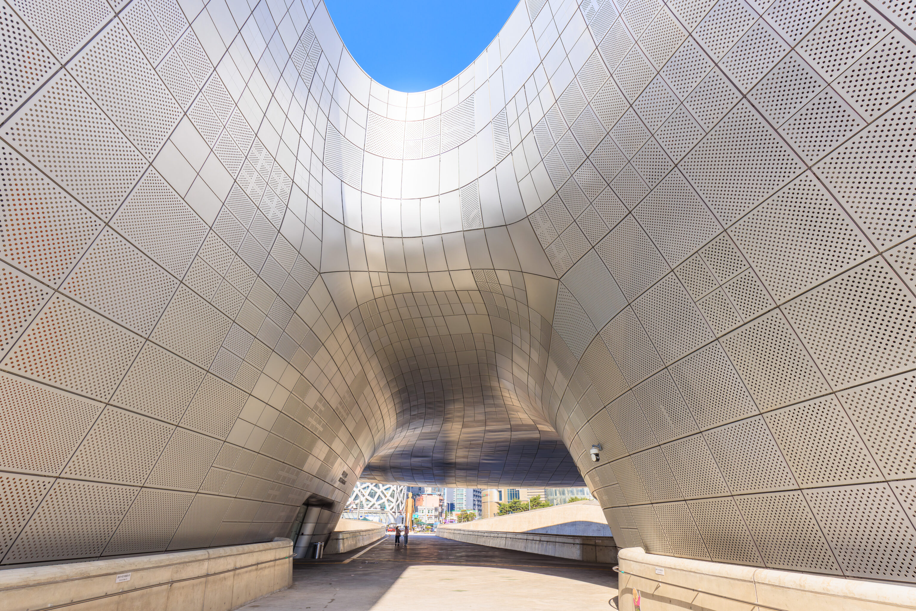
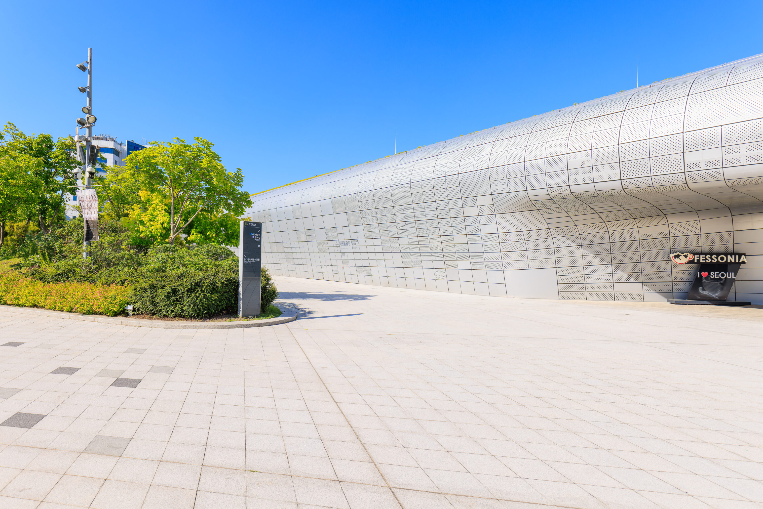
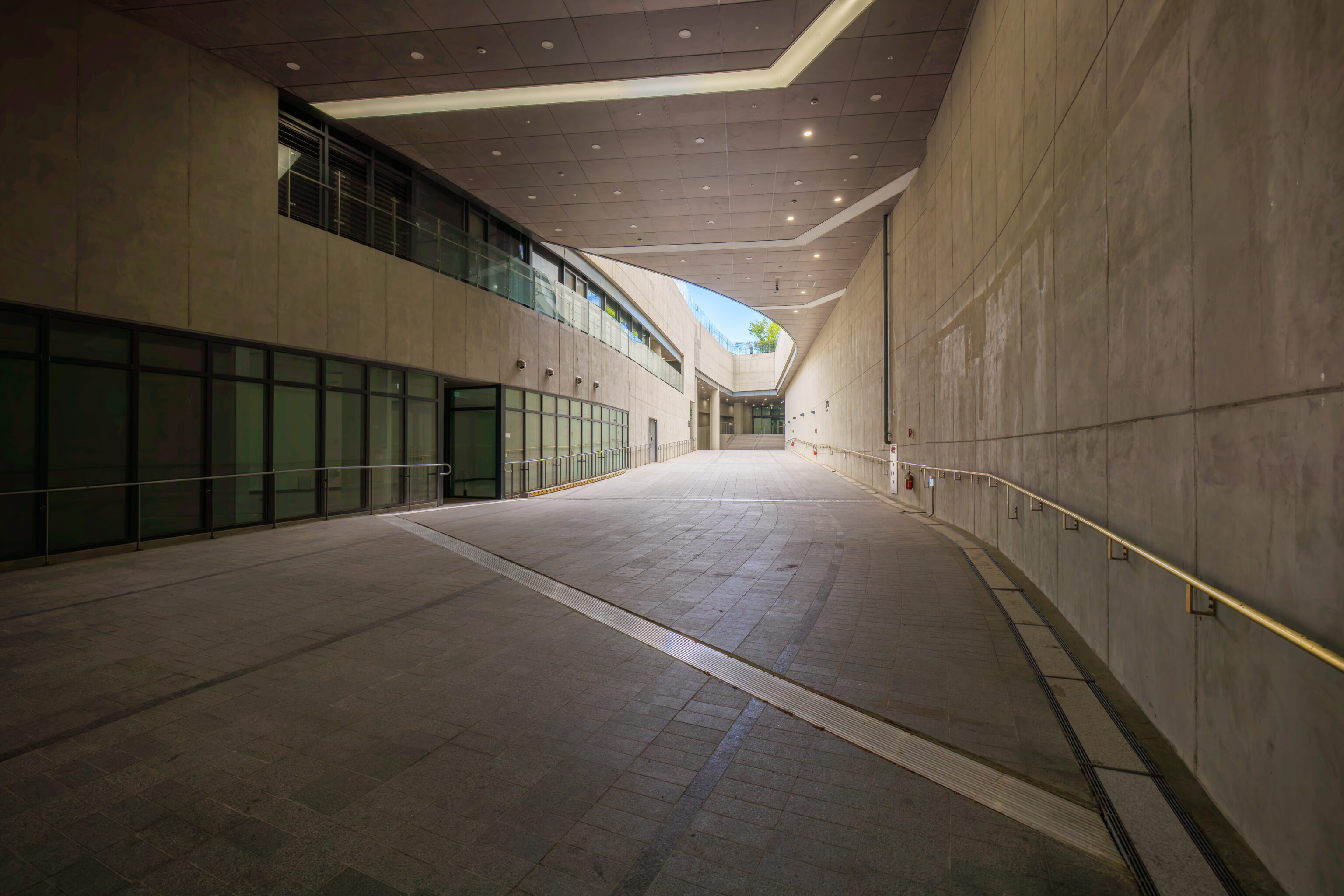
The DDP is roughly divided into three parts. We walked between the southernmost two parts of the building, heading northeast.
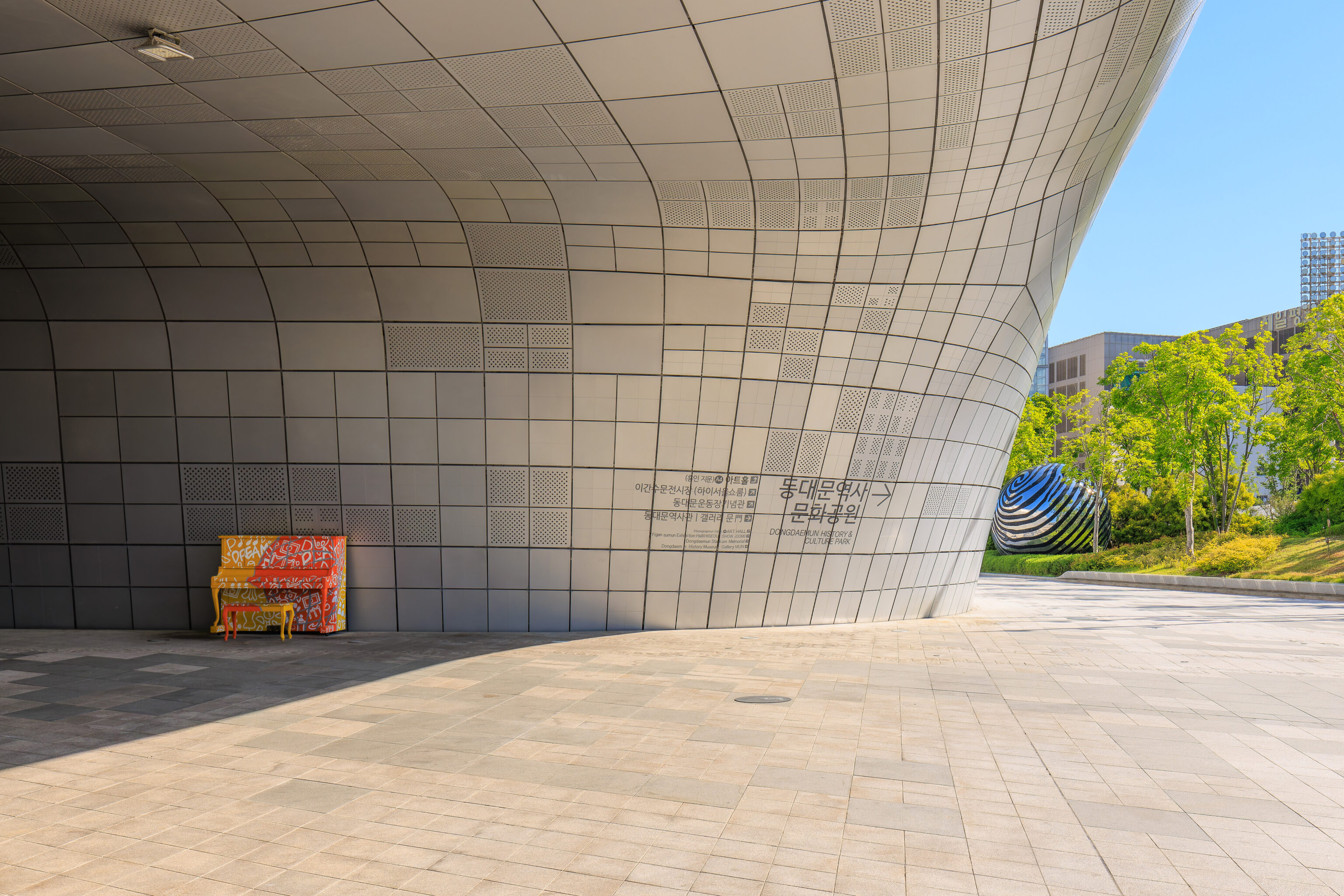
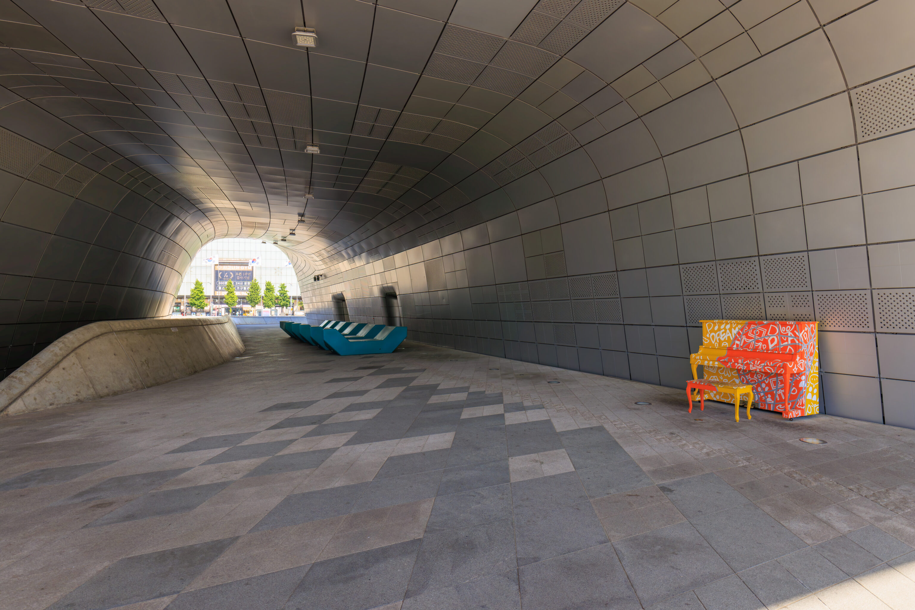
Another ground-level passageway goes west between the northern two thirds of the building. We noticed an interesting feature here, a colorful piano! We kept on going to the north though.
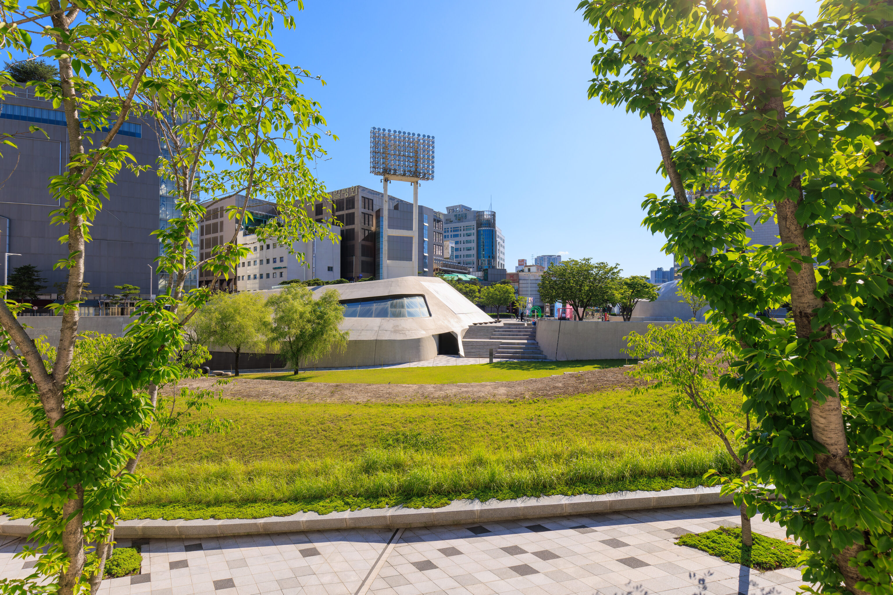
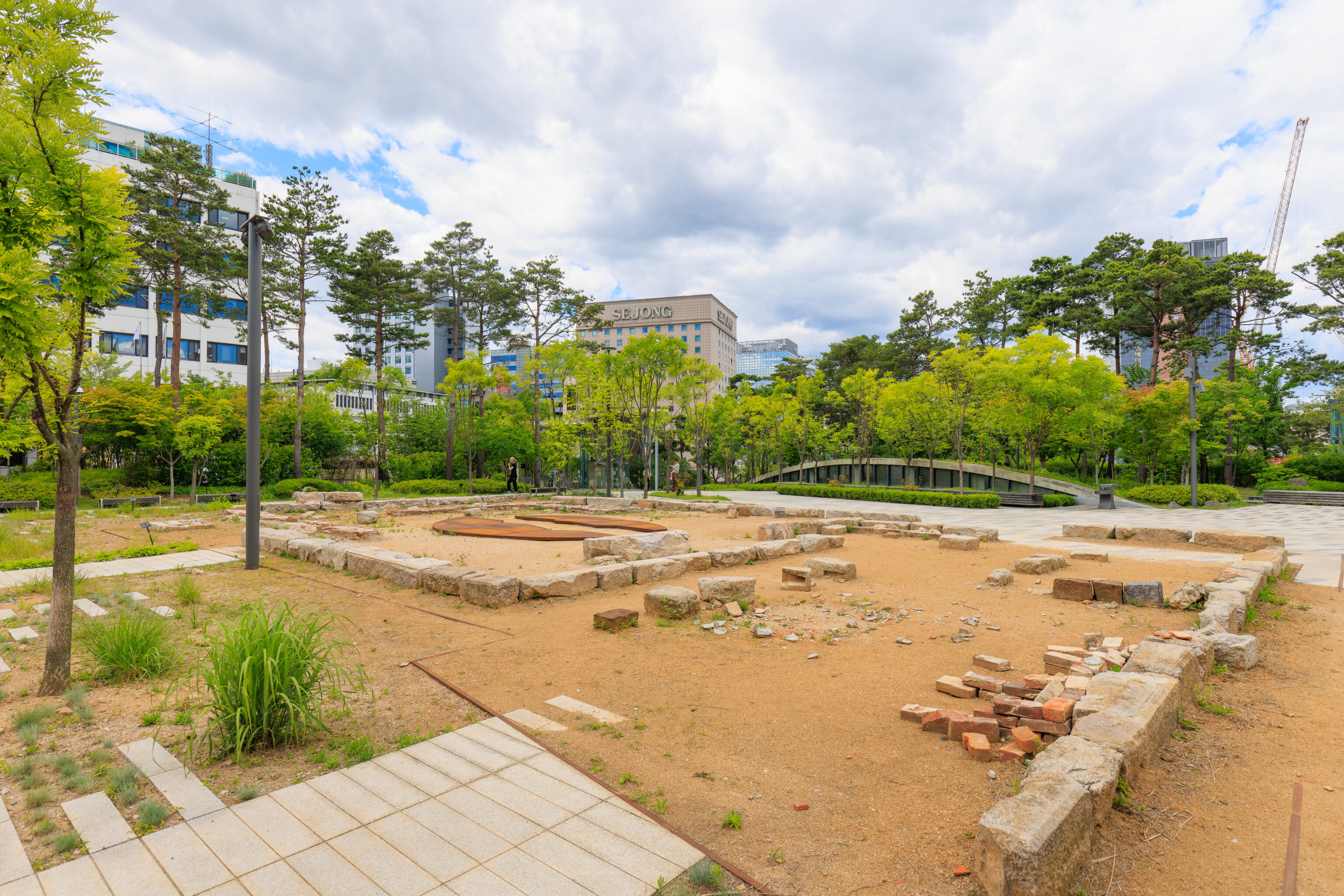
We kept walking north on the along the DPP’s east side. There is a park to the east, the Dongdaemun History & Culture Park, which covers an area as large as the DDP. This park has more ruins as well as a history museum.
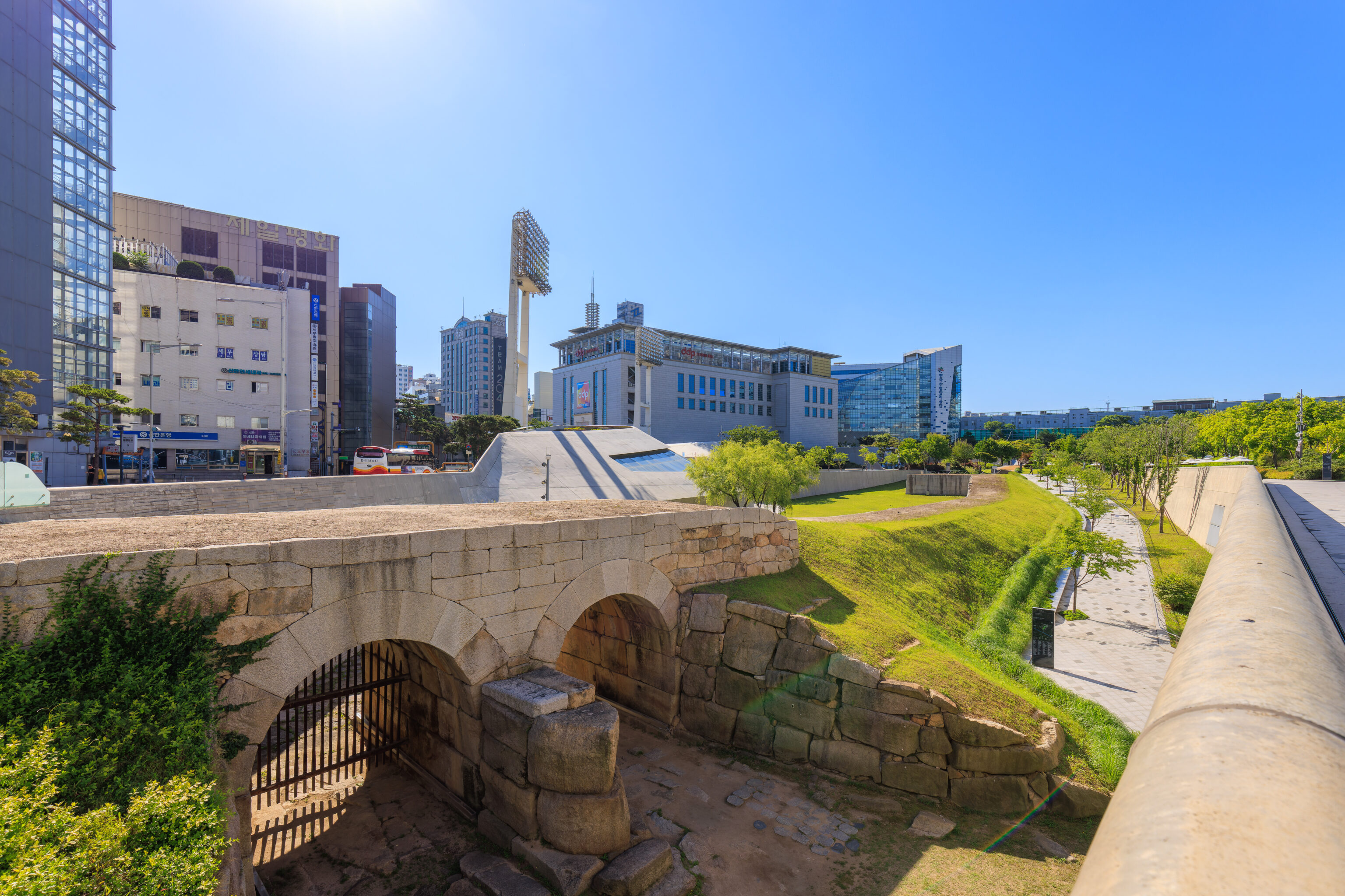
These two gates below seem to be Yigansumun, flood gates from the Joseon era.
The flood gates are right by the northern tip of the DDP.
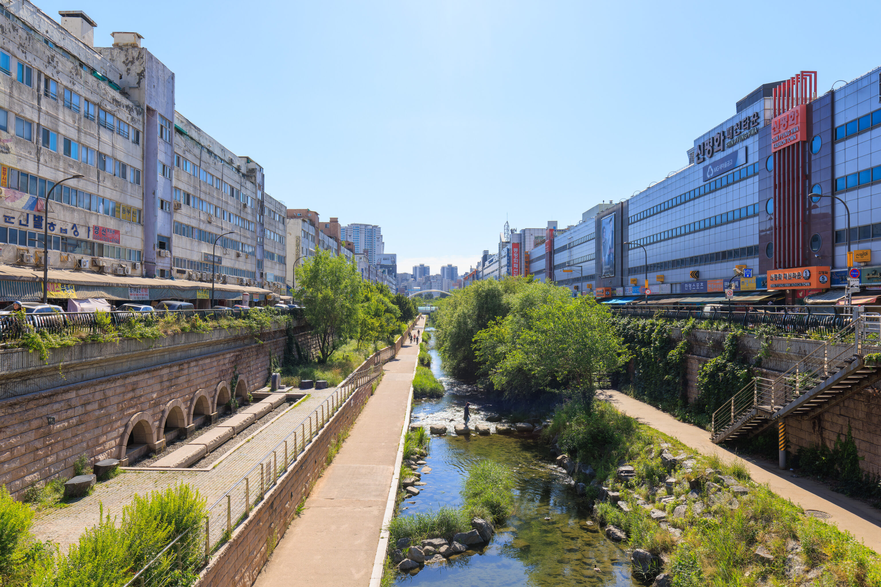
We kept walking to the north, crossing over the 청계천 Cheonggyecheon about a block away.
Dongdaemun
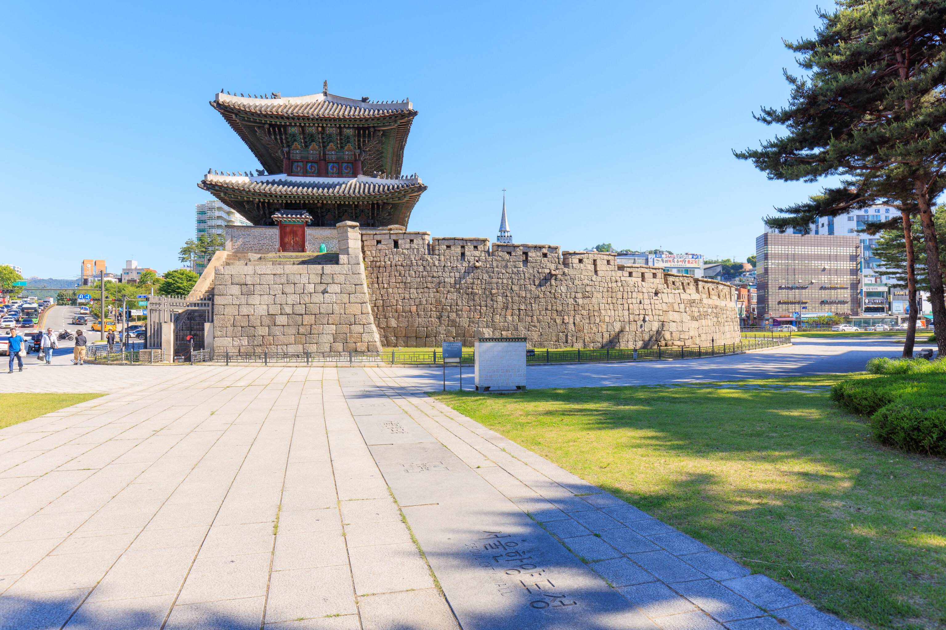
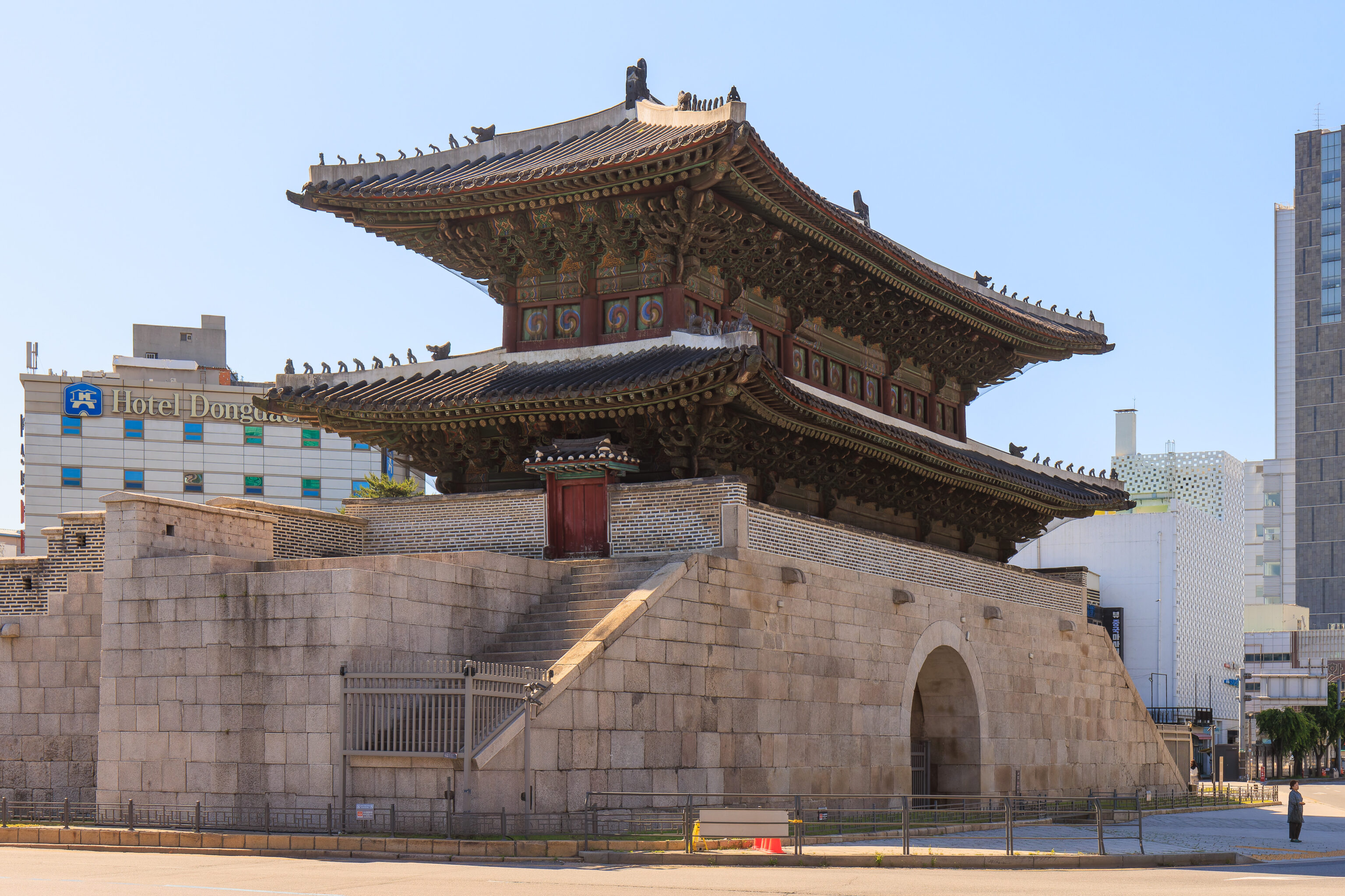
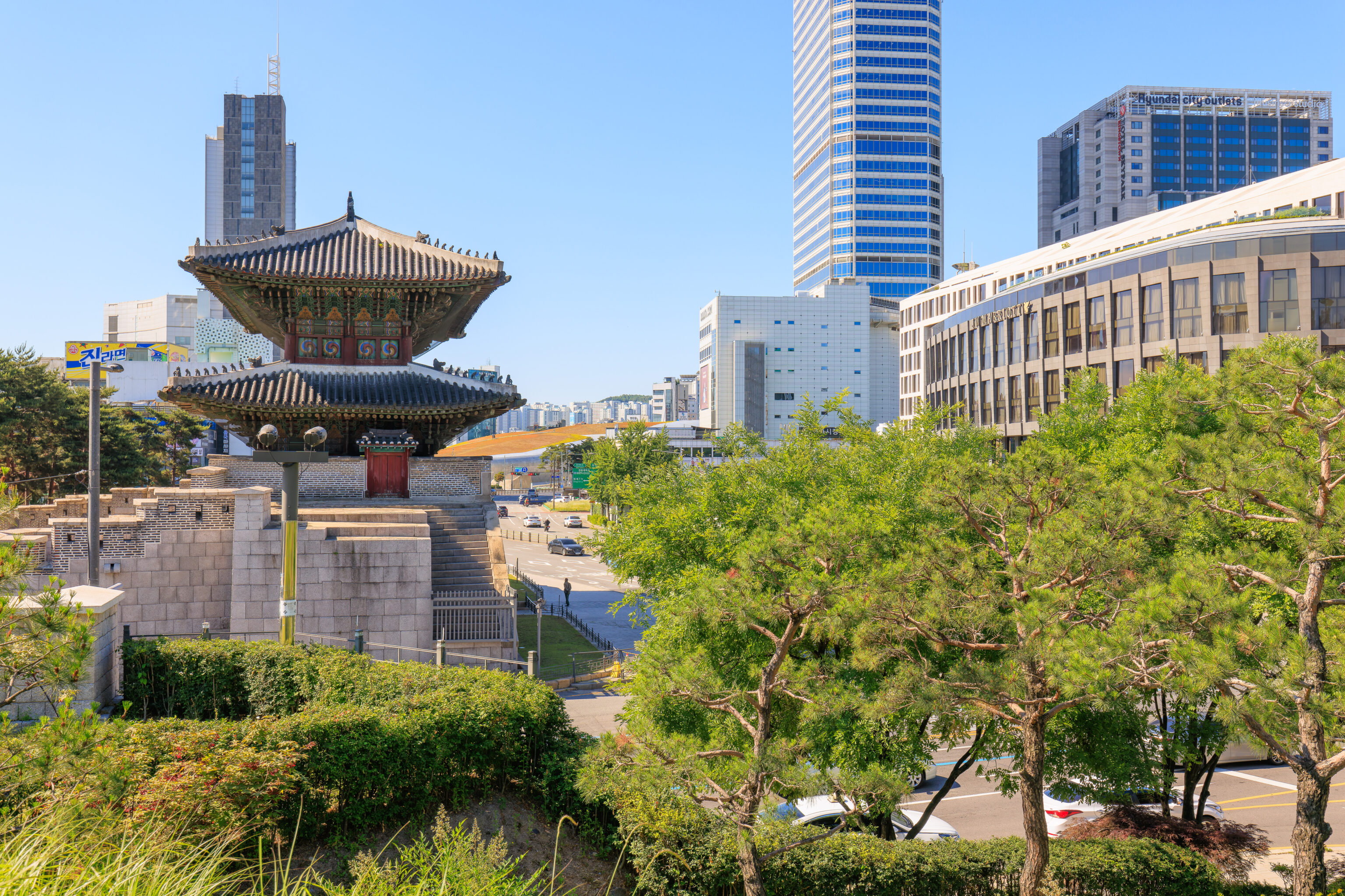
We could see the 동대문 Dongdaemun (East Great Gate) ahead of us, just one block away. This gate, which gives this neighborhood its name, is formally known as the 흥인지문 Heunginjimun.
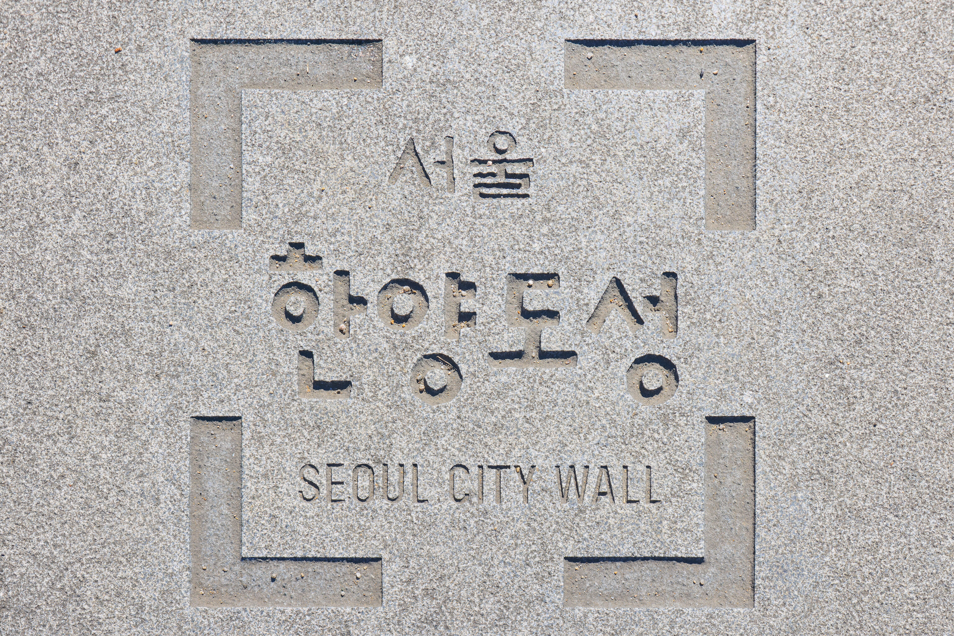
It is also the southern end of a section of the remnants of Seoul’s city wall.
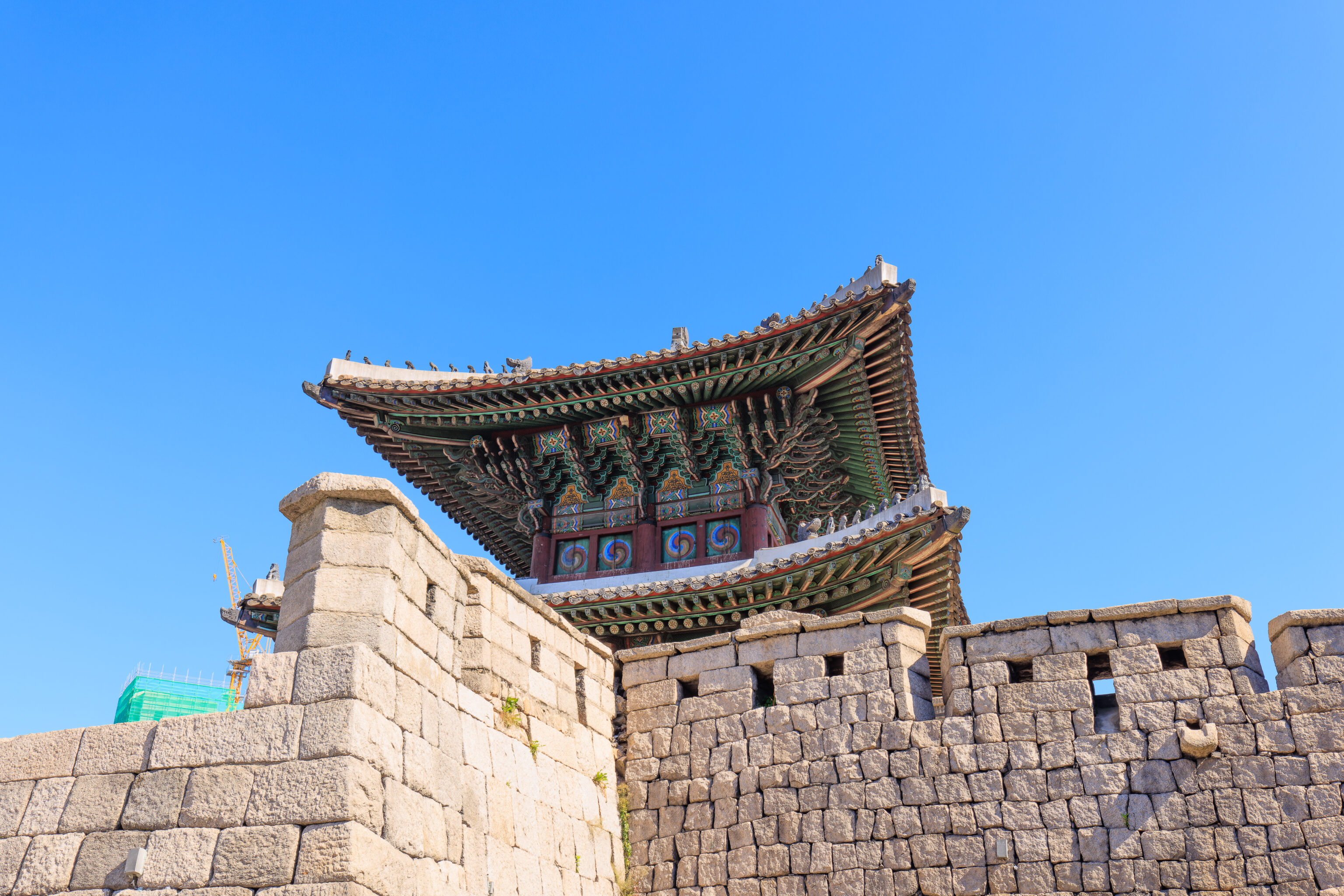
We approached the gate for a closer look.
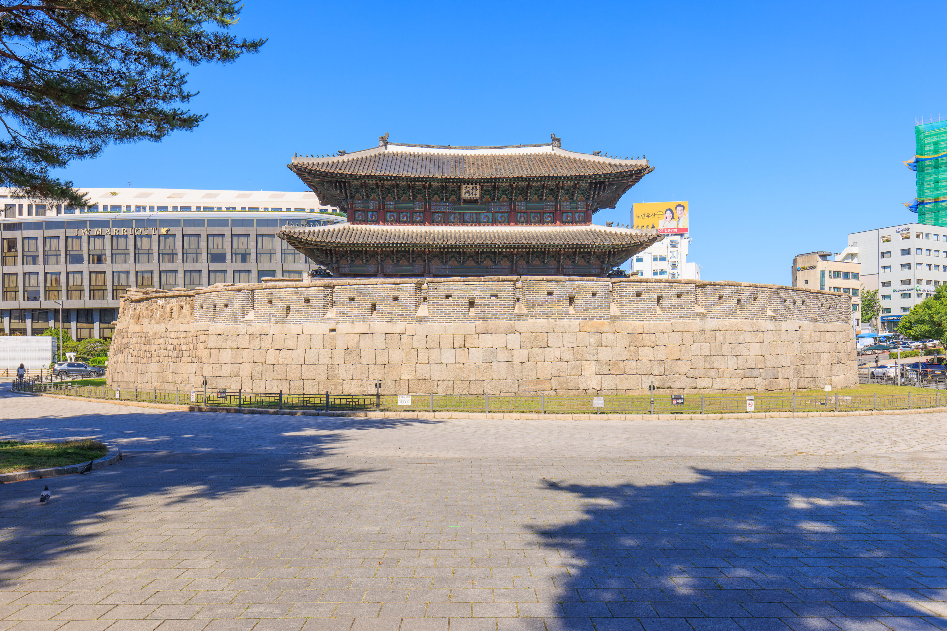
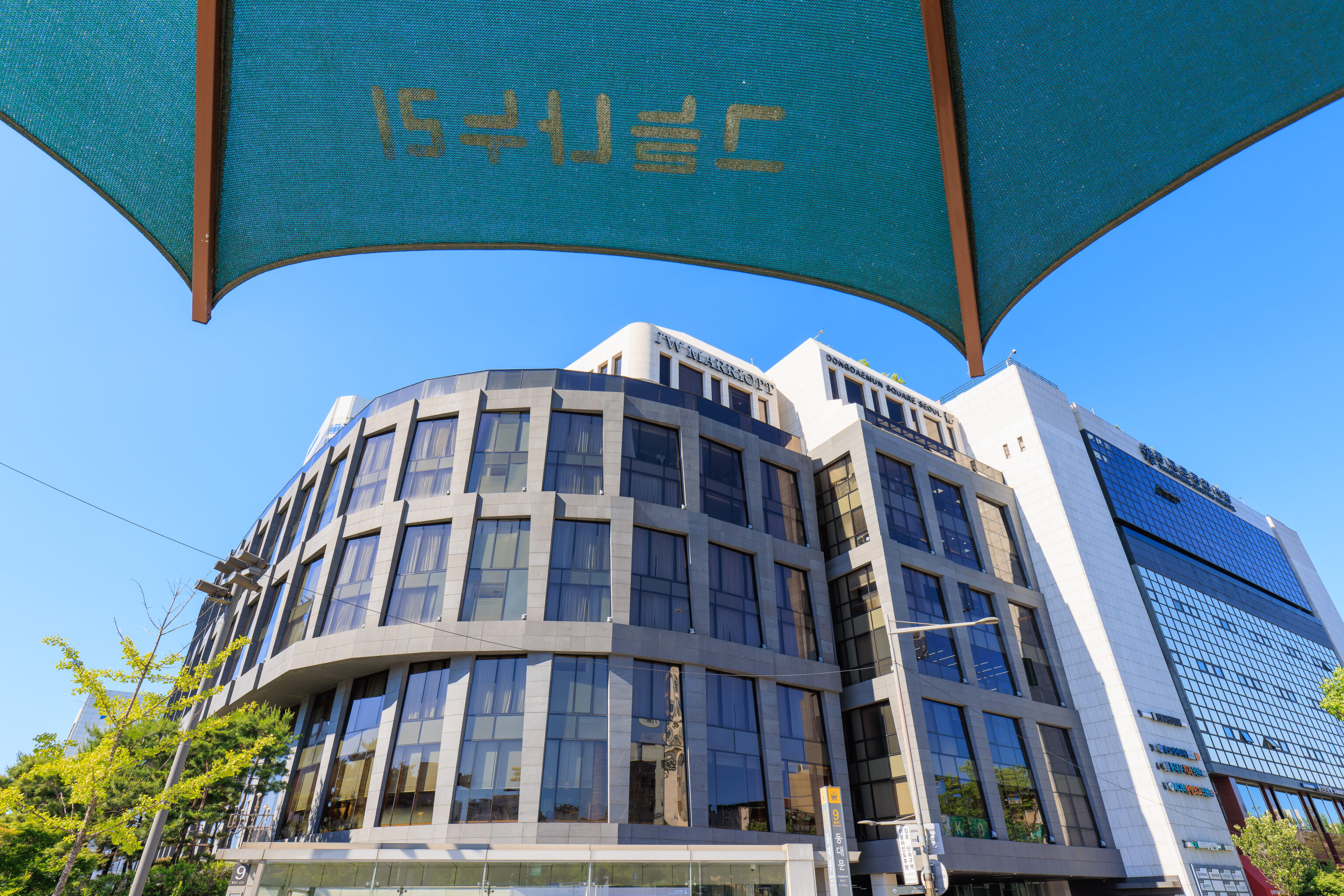
The gate doesn’t lead anywhere today. It is walled off on the east side. The JW Marriott is on the western side of the gate. We had considered staying here, one of many options, but decided on the RYSE instead.
To the north, we could see the city wall on the side of 낙산 Naksan, a small mountain.
We decided to circle around to the west side of the gate first before continuing on to Naksan. Looking to the south, we could see the grassy roof of the DDP.
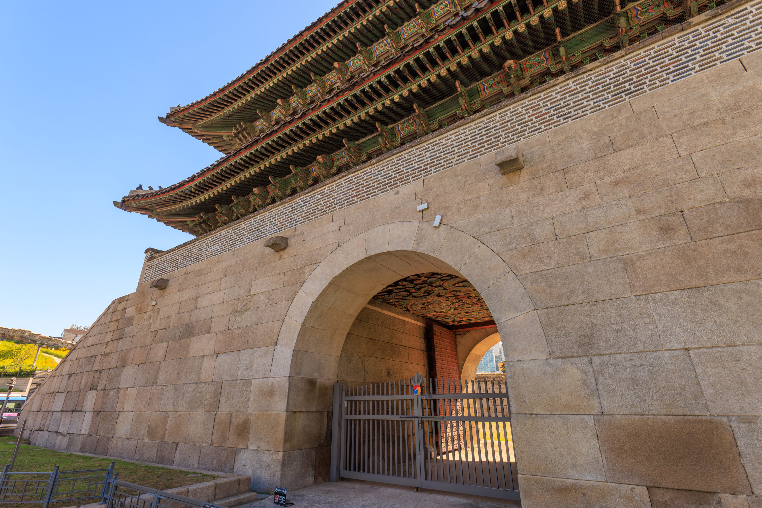
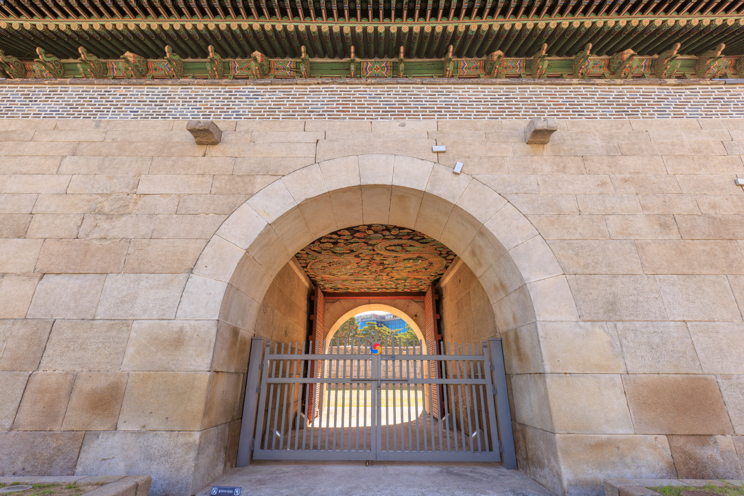
The actual gate is visible from the west side. The ceiling above the gate is painted with colorful artwork, much like Gwanghwamun.
Unfortunately, to cross the street, we had to cross all three other sides as there is no crosswalk from the gate to the north. We did get to enjoy the shade under a large umbrella at the corner by the JW Marriott though.
Naksan
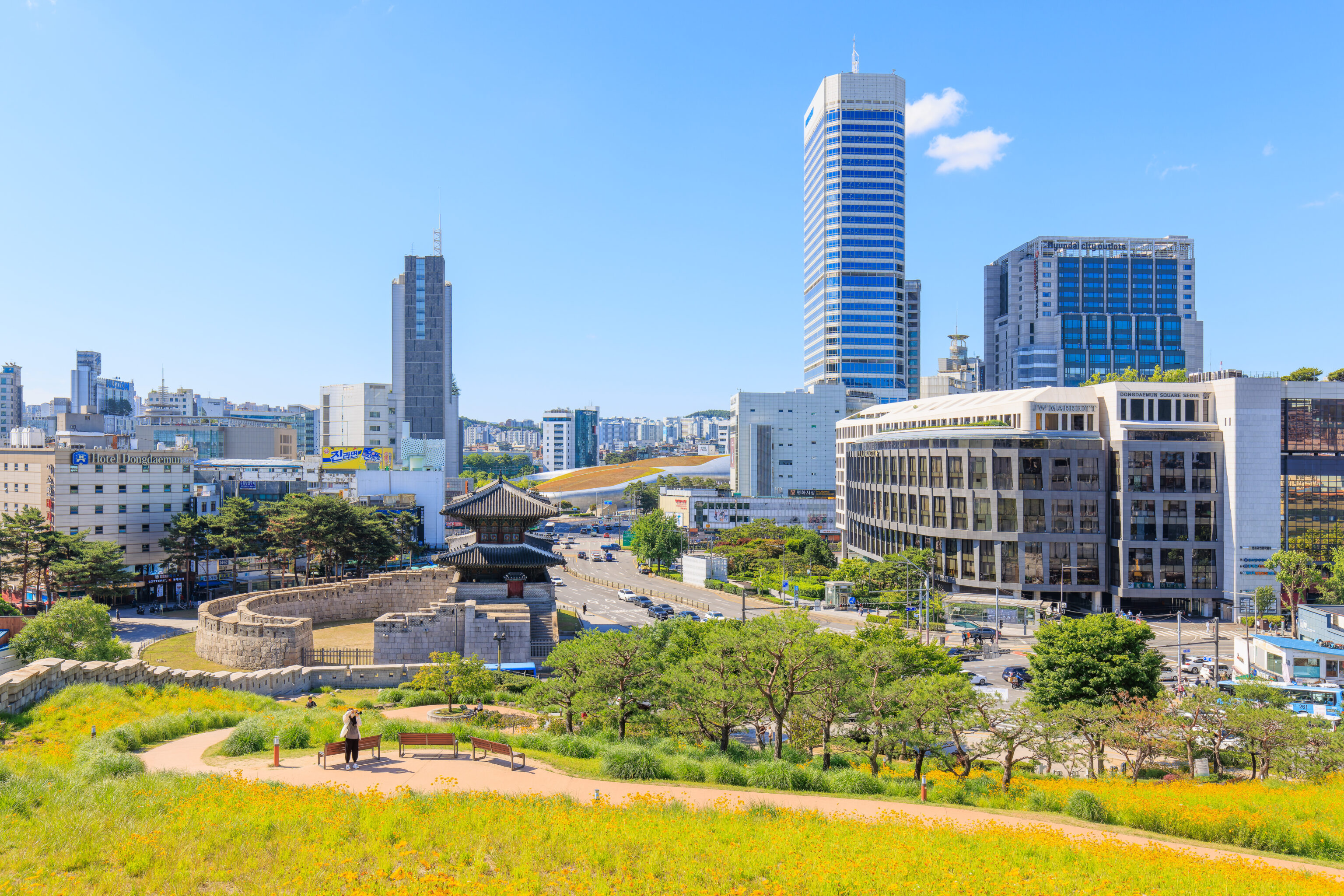
After crossing the street three times, we reached 낙산공원 Naksan Park.
We had a nice view of the Dongdaemun from the southern entrance to the park.
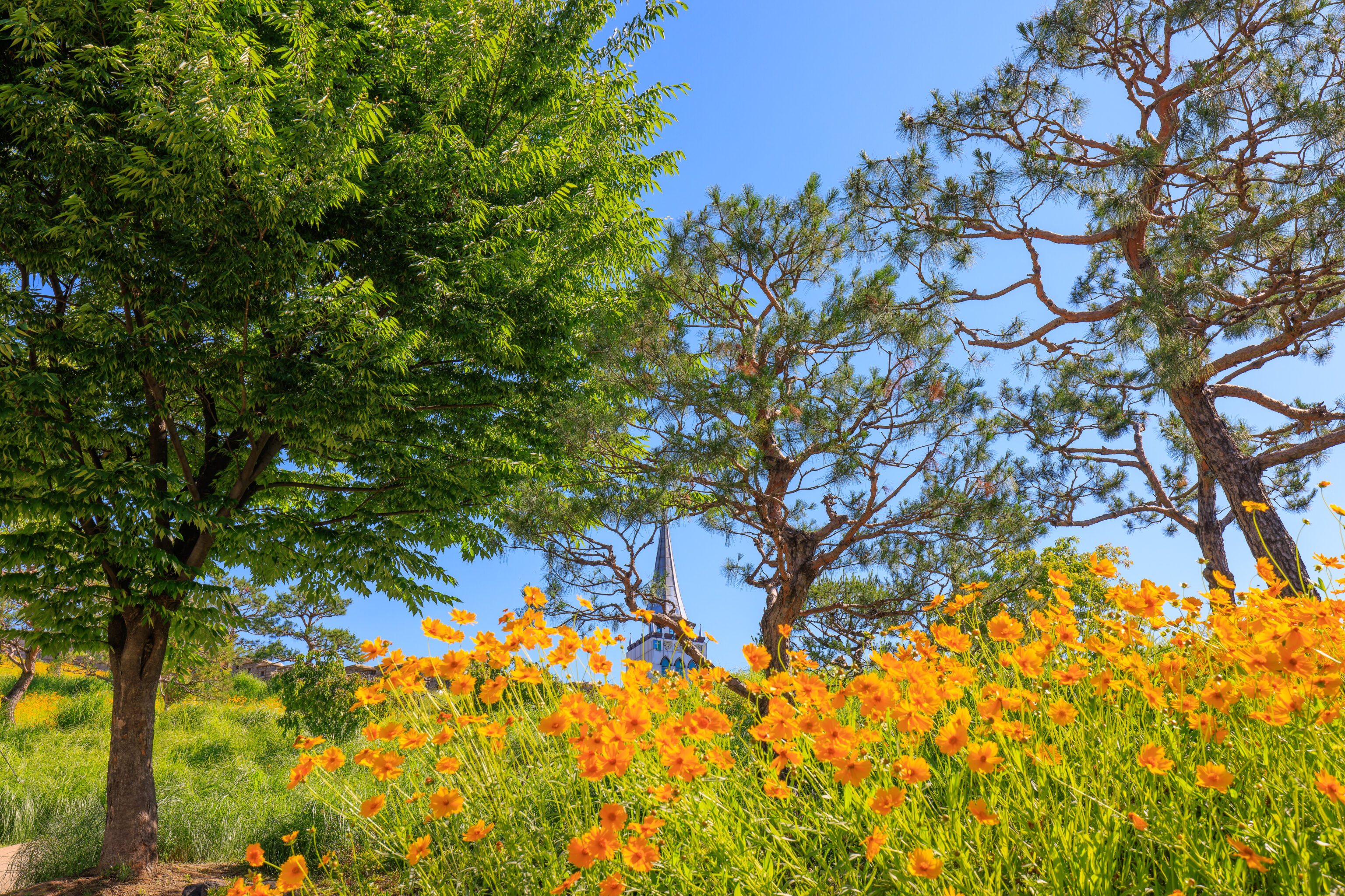
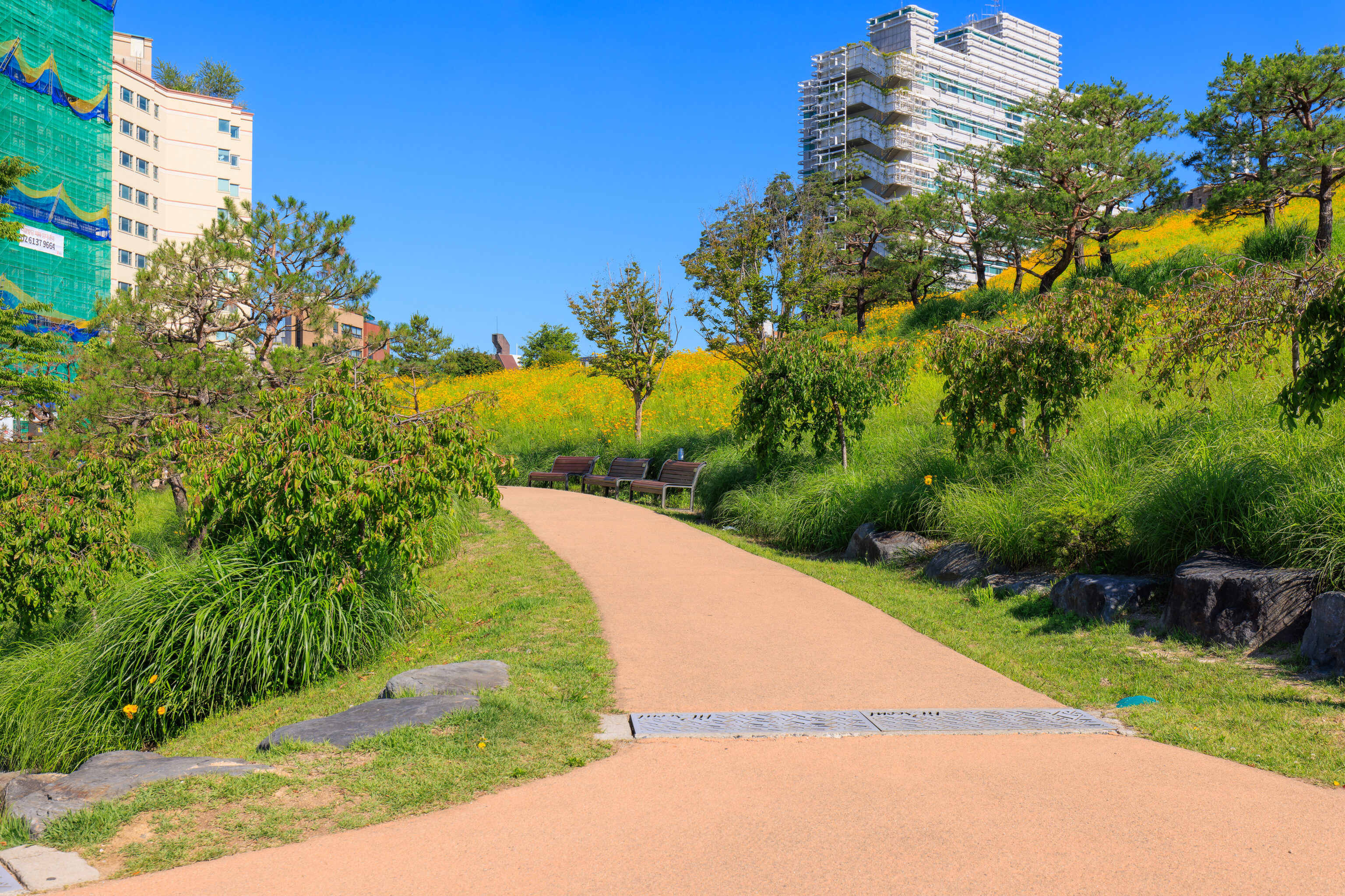
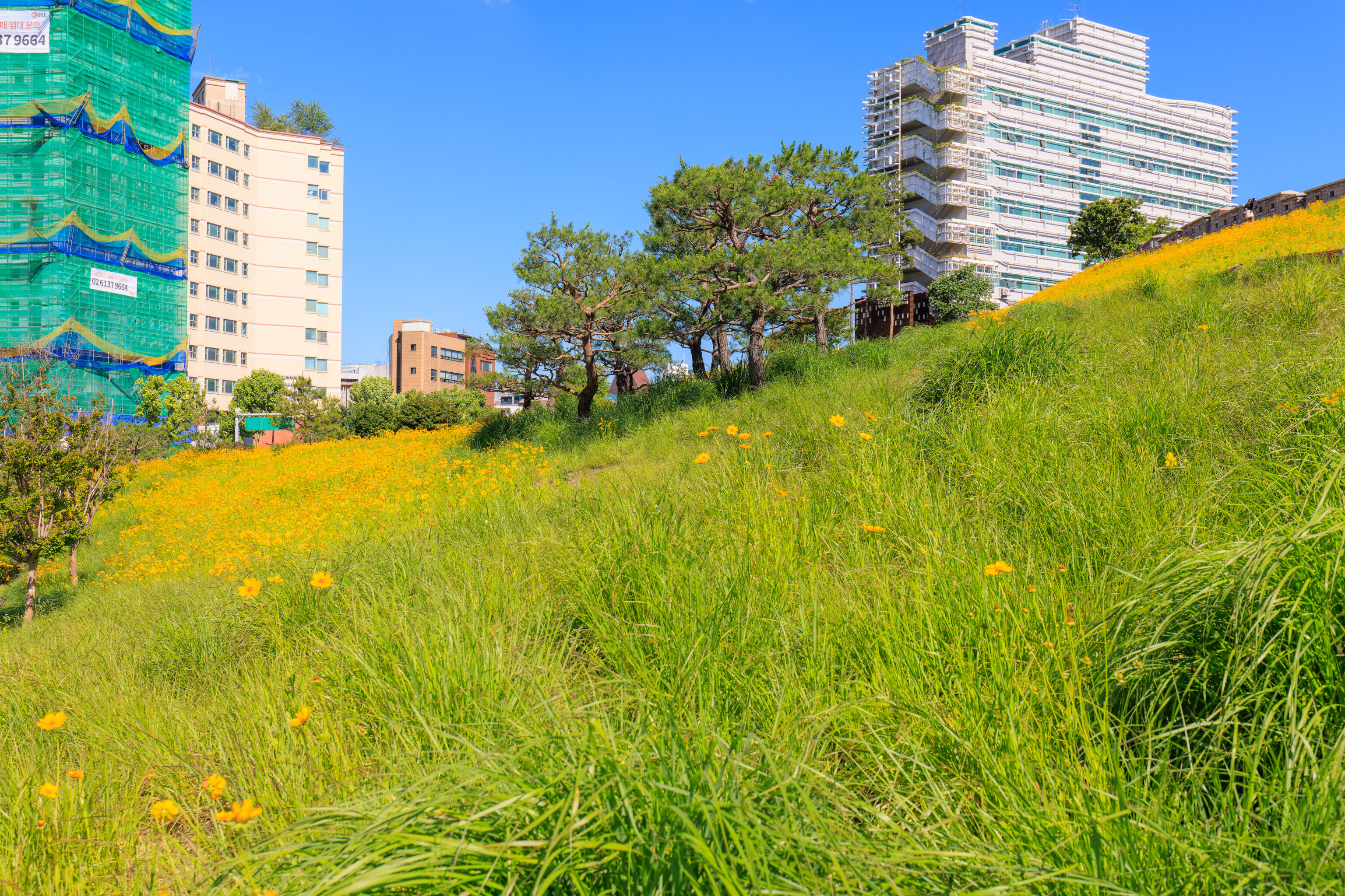
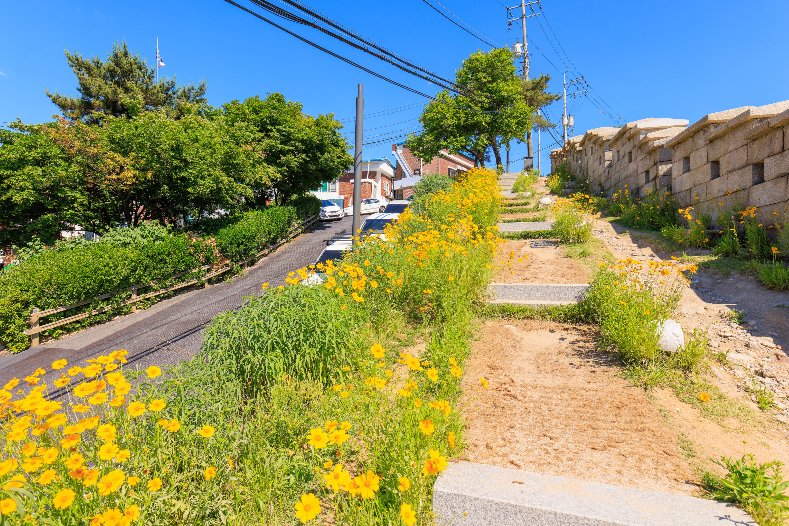
This part of the park is quite nice with beautiful flowers!
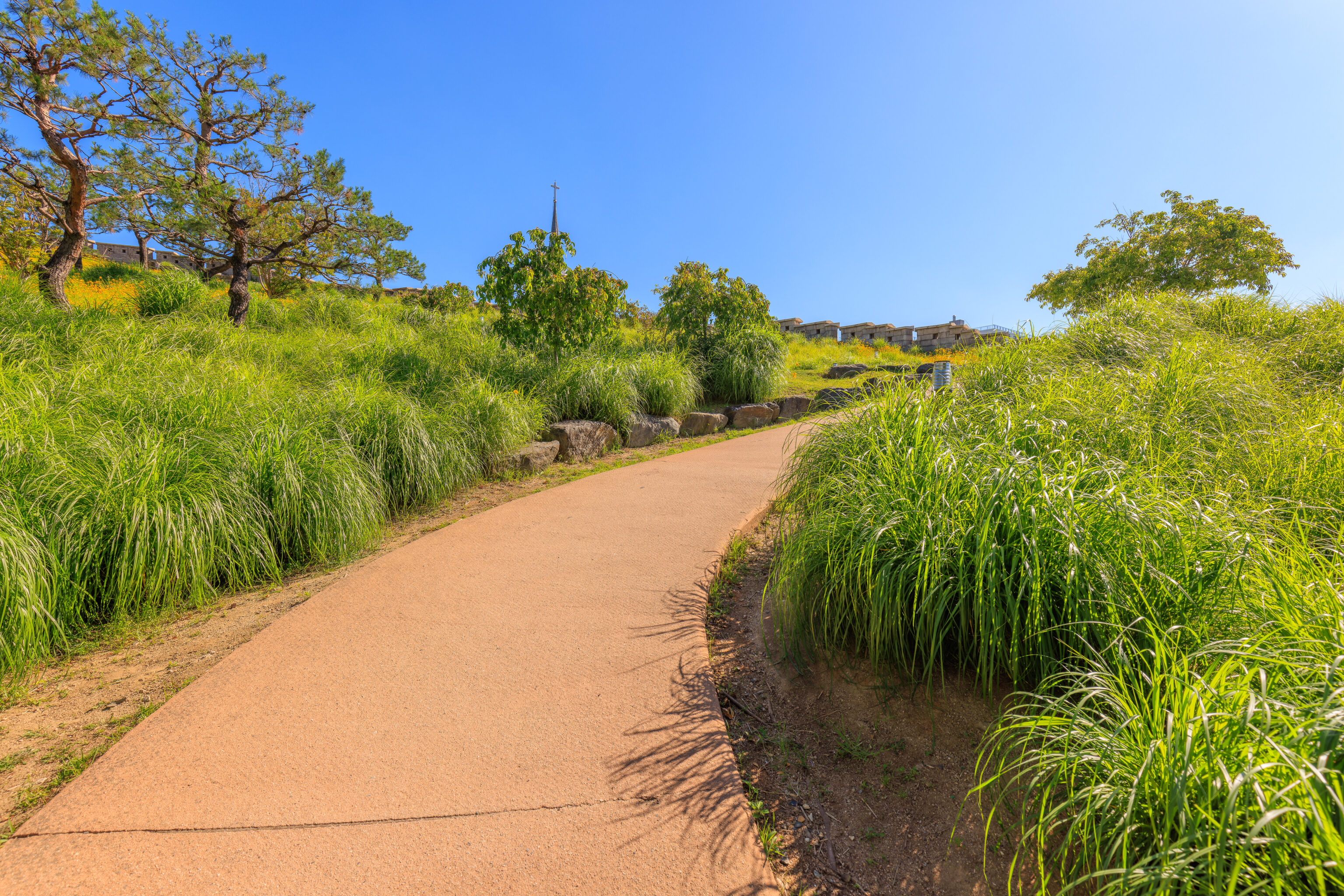
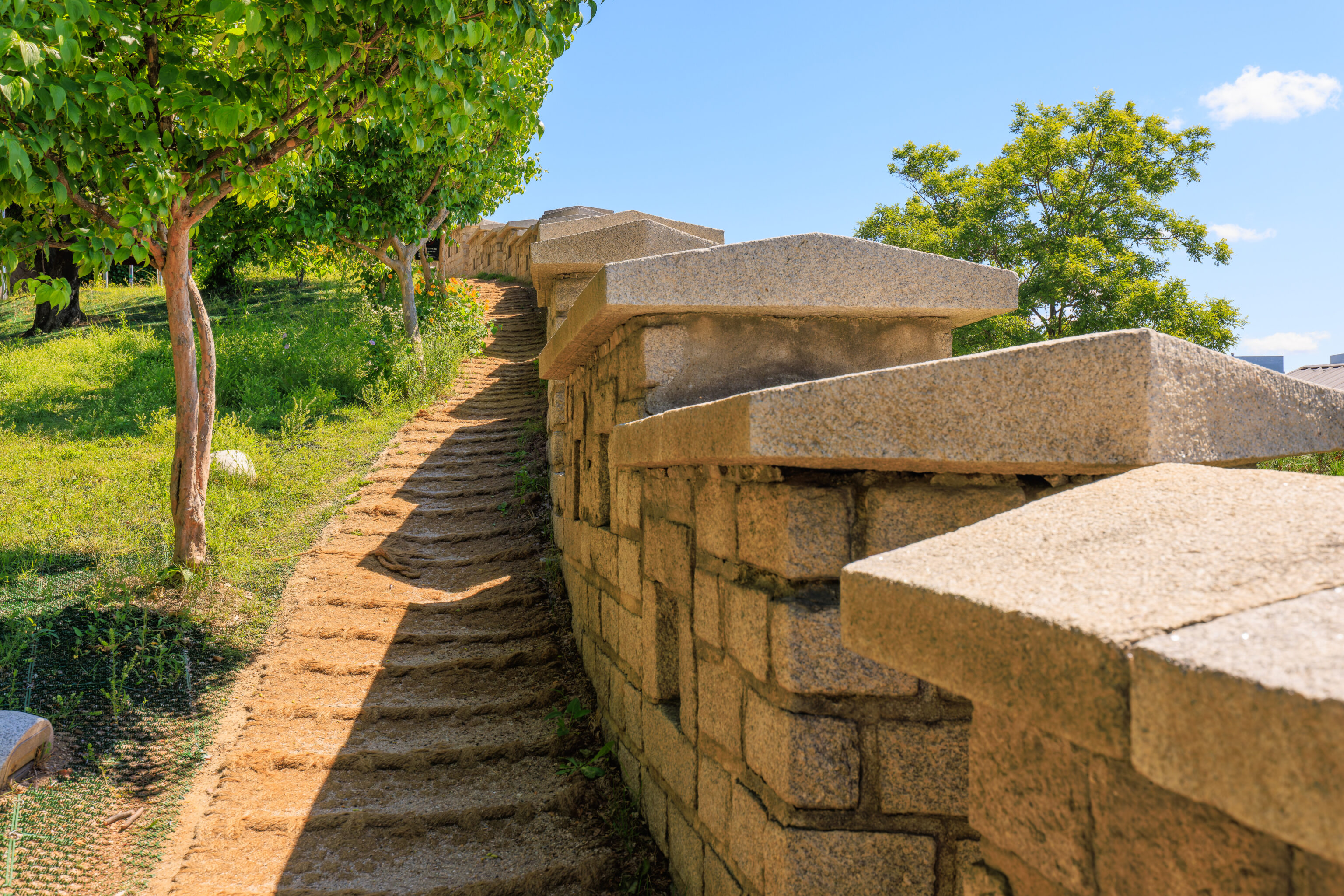
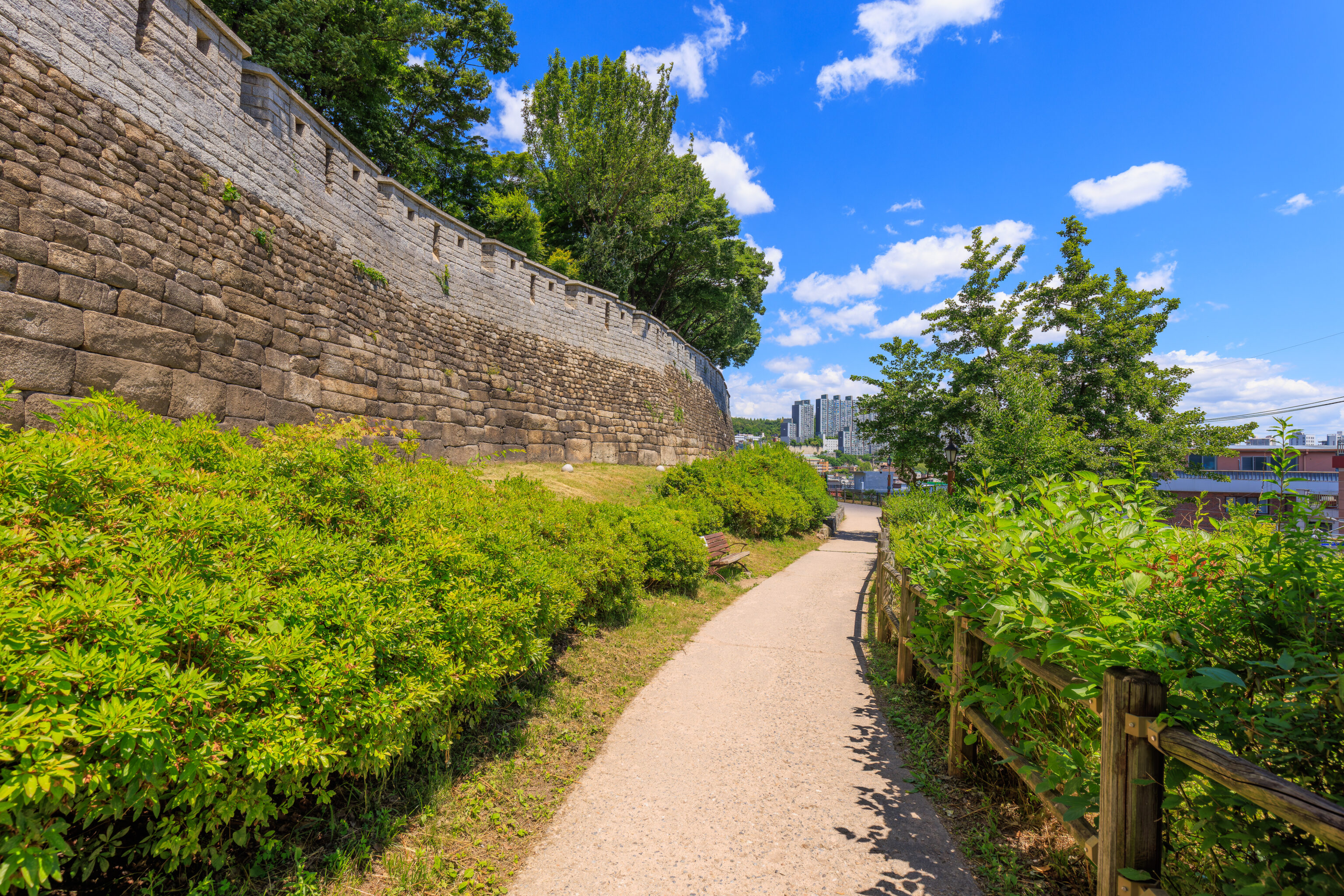
We walked up a steep path to reach the city wall.
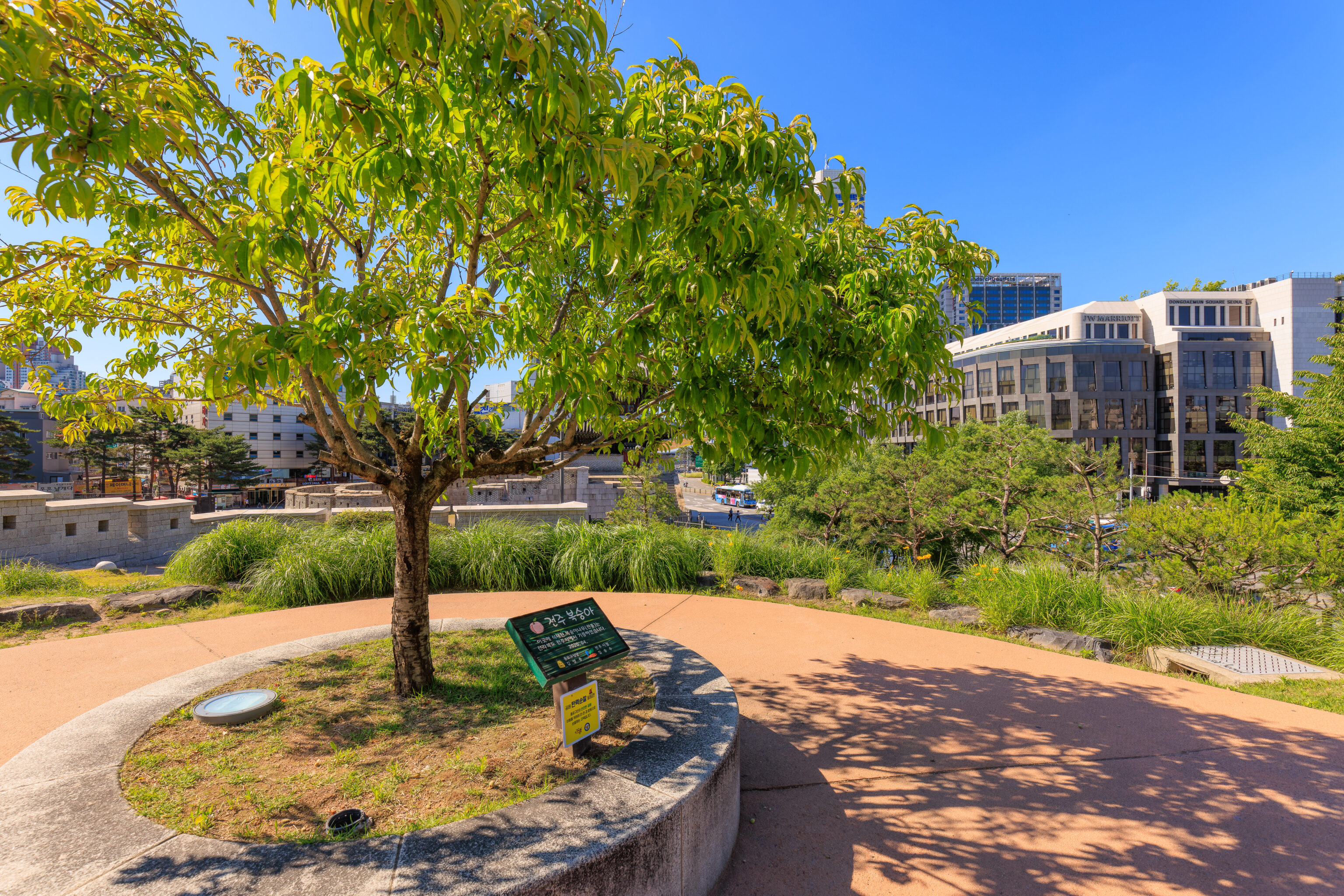
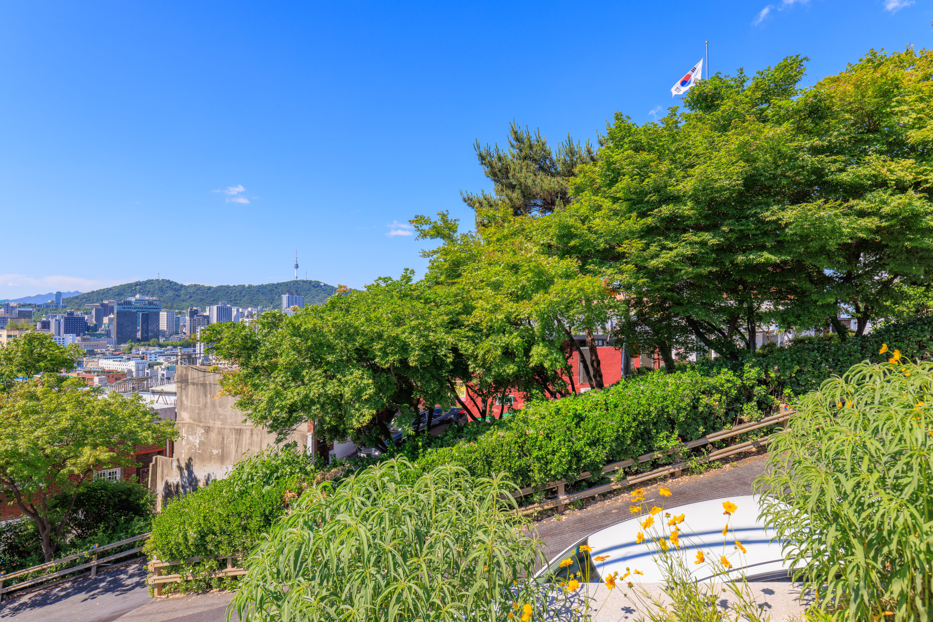
This tree is a Jeonju Peach tree donated in April, 2020 by Jeonju, the capital of Jeonbuk, one of South Korea’s provinces which is a peach growing area.
The area around the peach tree offers an elevated view of the Dongdaemun to the south as well as a bit of the DDP beyond.
There was a junction at the peach tree with a sloped path going to the west. But, we wanted to more closely follow the city wall.
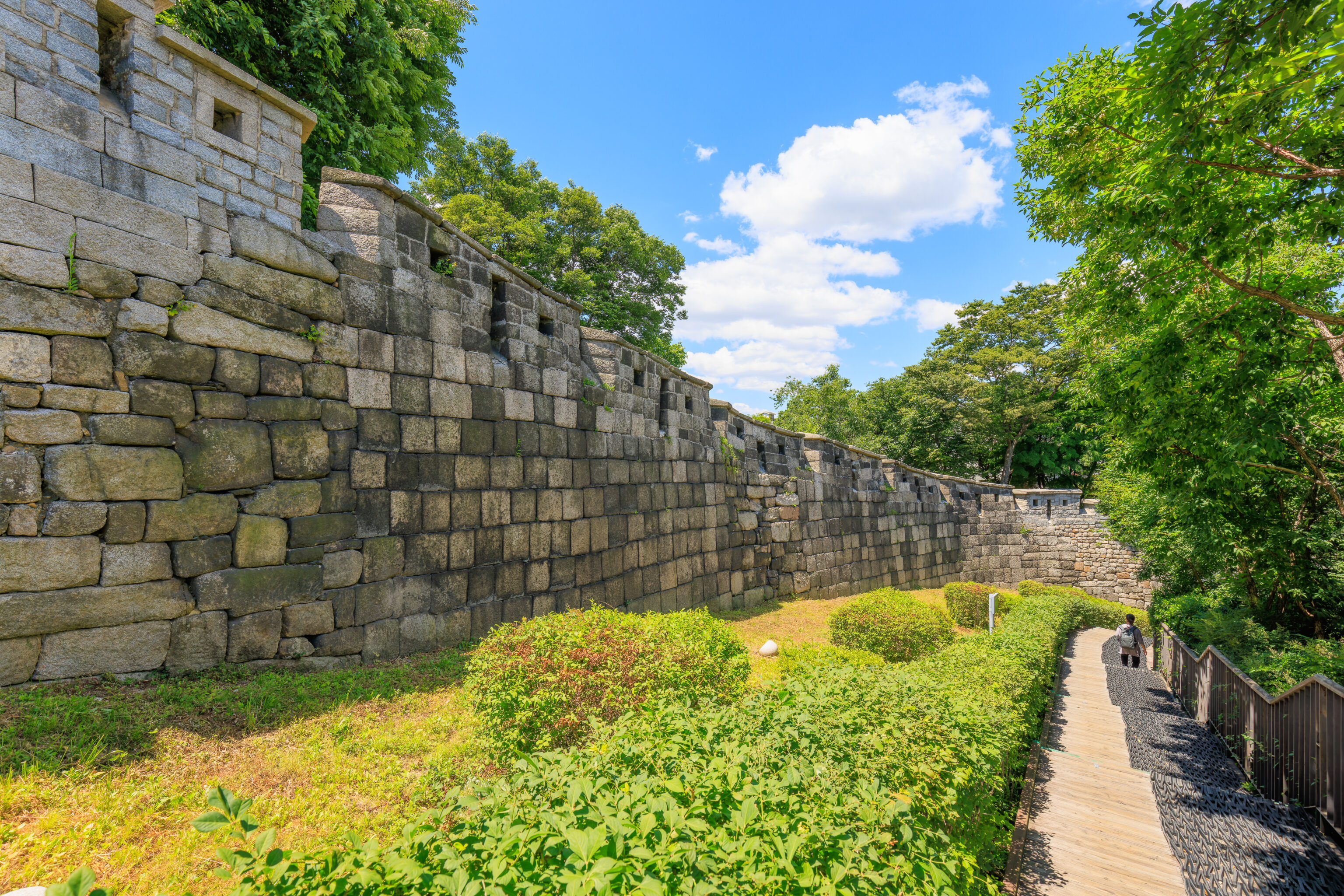
We headed up this steeper path that ran near the wall.
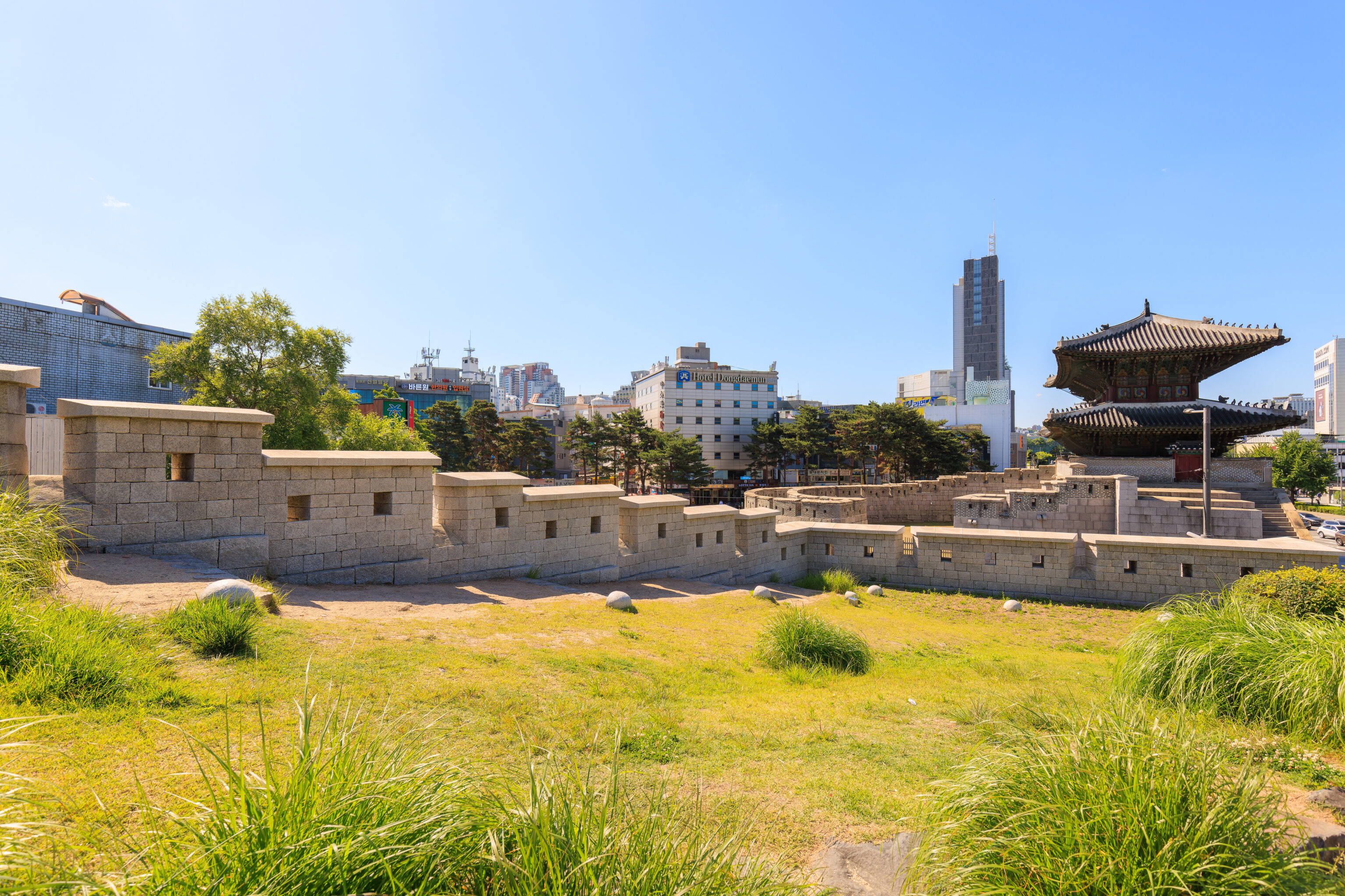
Looking back, we could see the southern end of this section of the wall. We saw this area from the east side of the Dongdaemun earlier.
Looking to the side provides a good indication of how steep the path is.
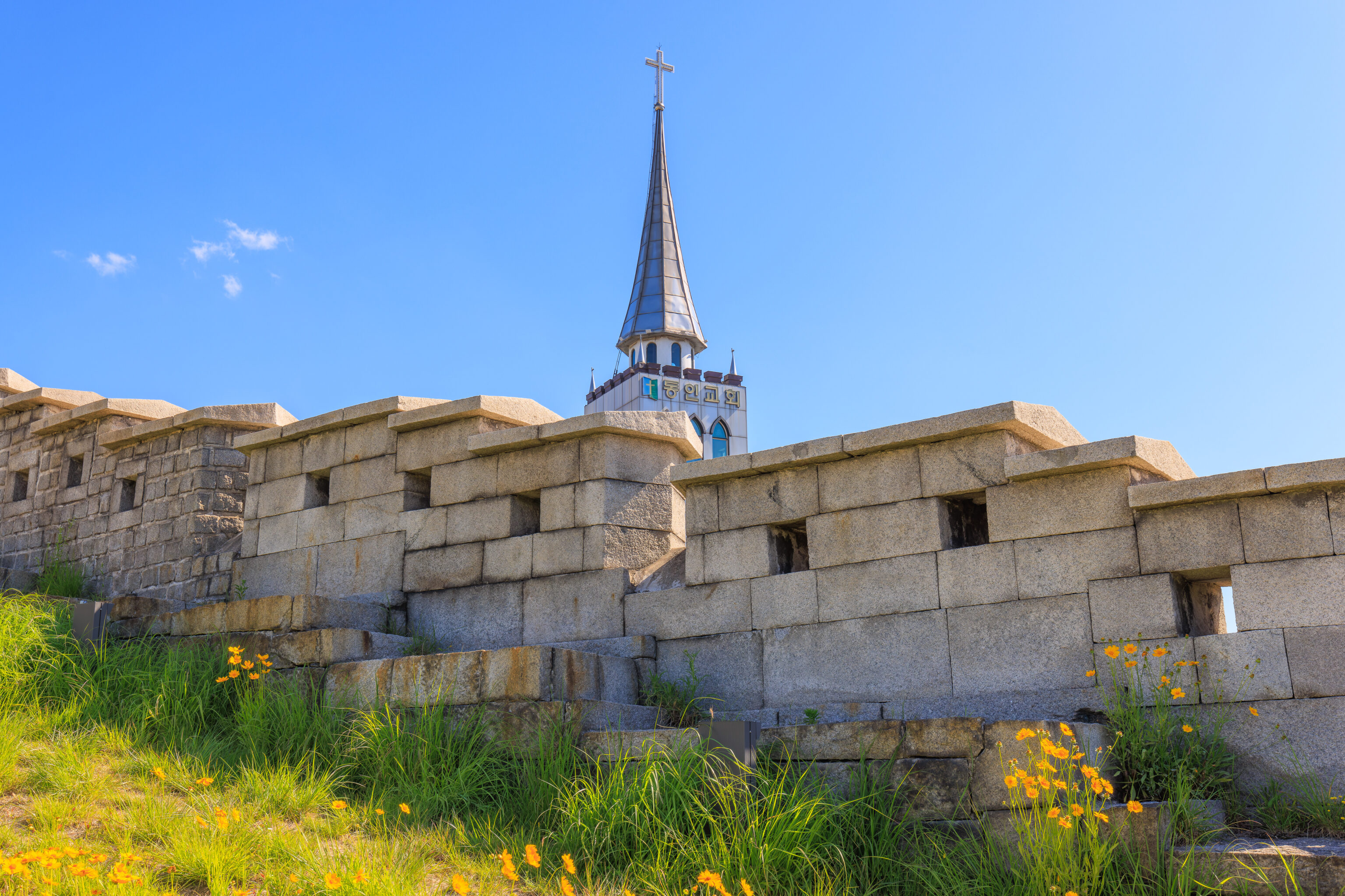
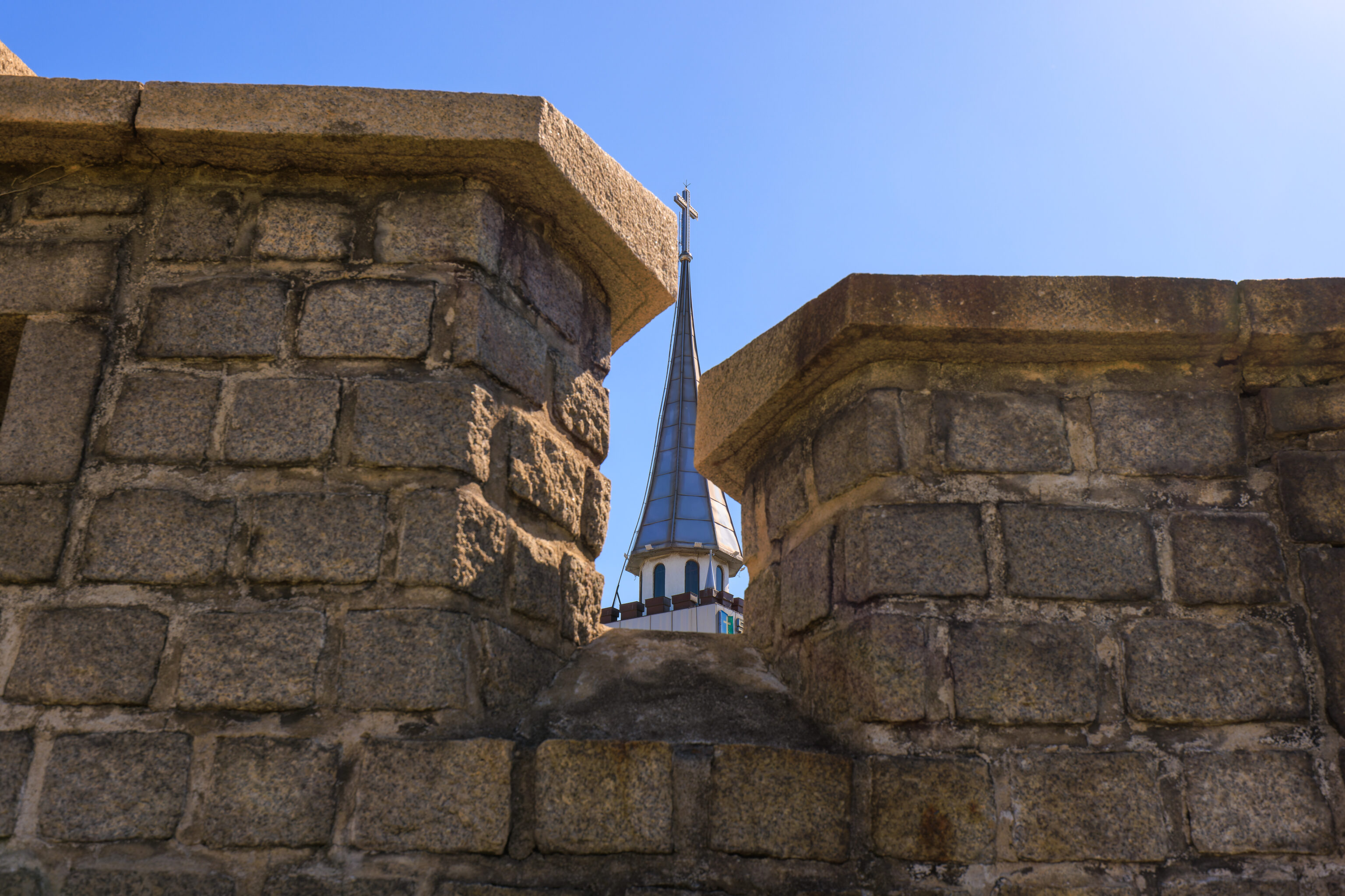
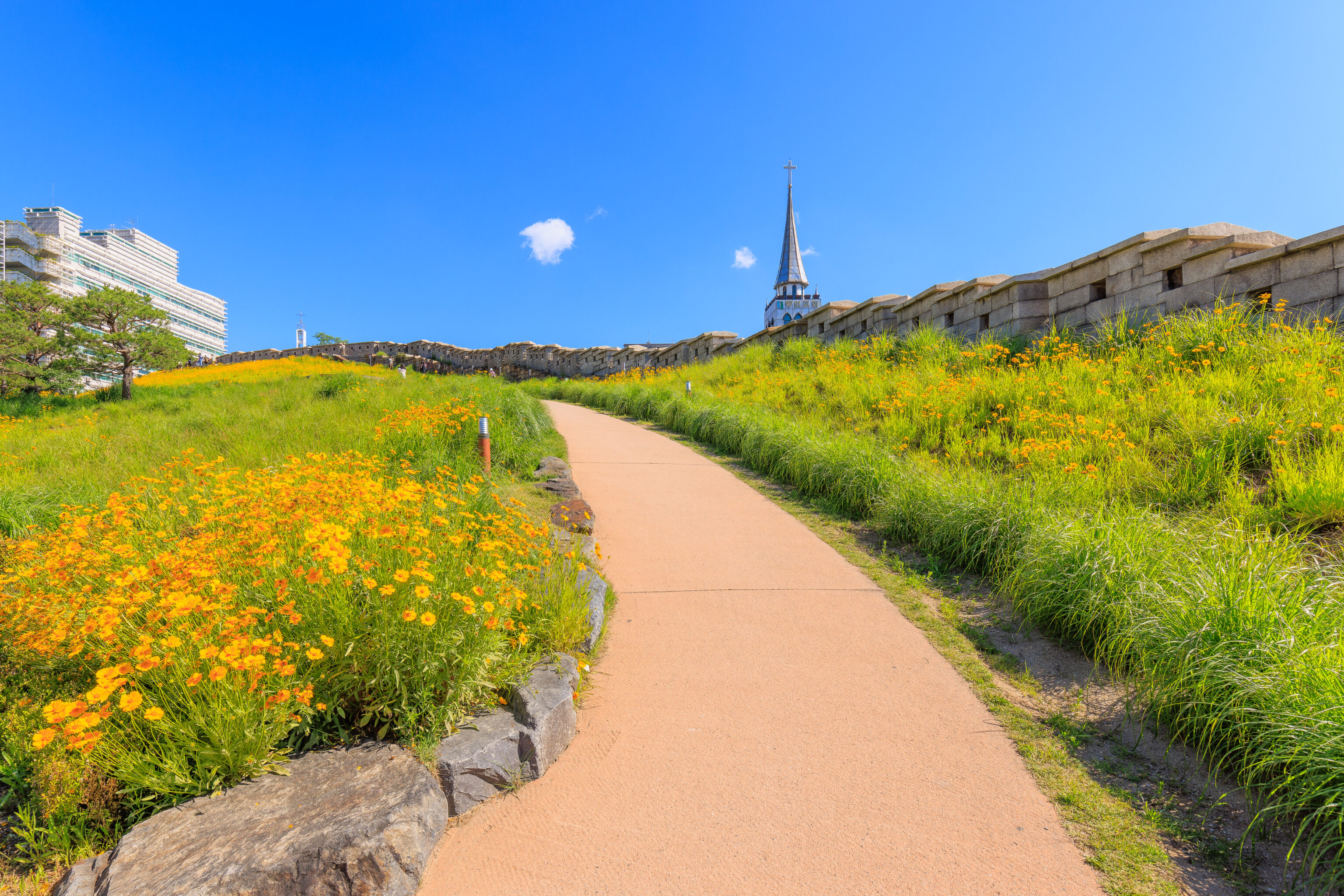
The Christian church has been very successful in Korea. Some of the church spires, like this one, are relatively prominent.
As we continued walking uphill to the north, we had fantastic views of the area behind us thanks to our increased elevation.
The view from more or less the same spot, but looking more to the east.
The park became narrower as we continued to the north. Some of the sloped sections of the trail are covered in some kind of natural matting, which we started to refer to as Korean carpet. They seem to be 야자매트 palm mats and might be made from coconut fibers. They’re quite fantastic as they are comfortable to walk on, provide traction, and look natural.
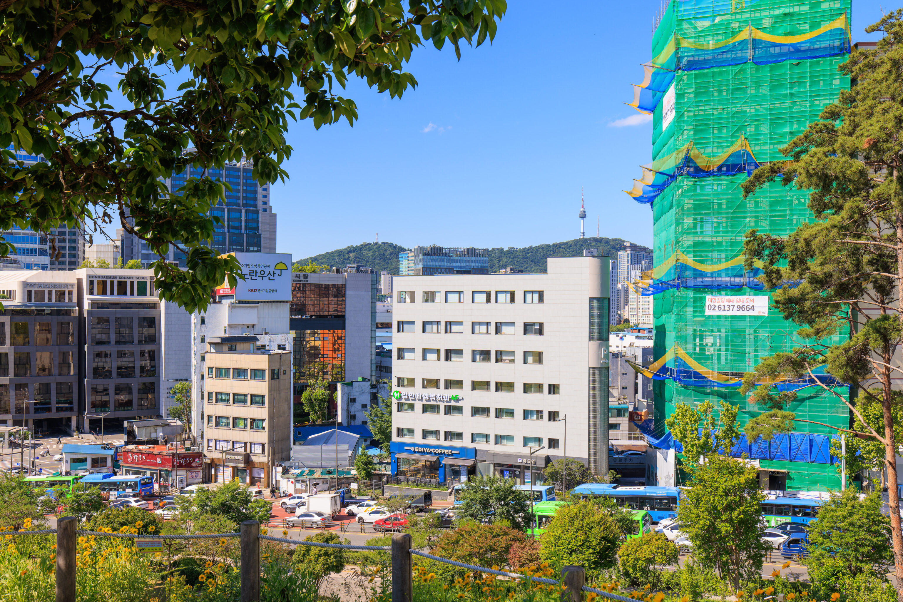
We started to be able to see the N Seoul Tower, atop Namsan, to the southwest. The view was previously blocked by buildings as we didn’t have enough elevation to see above them.
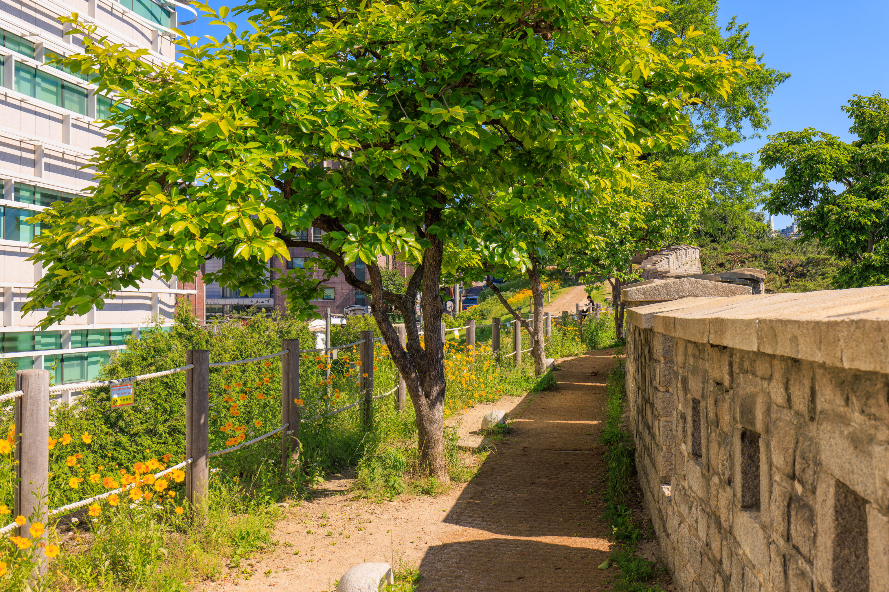
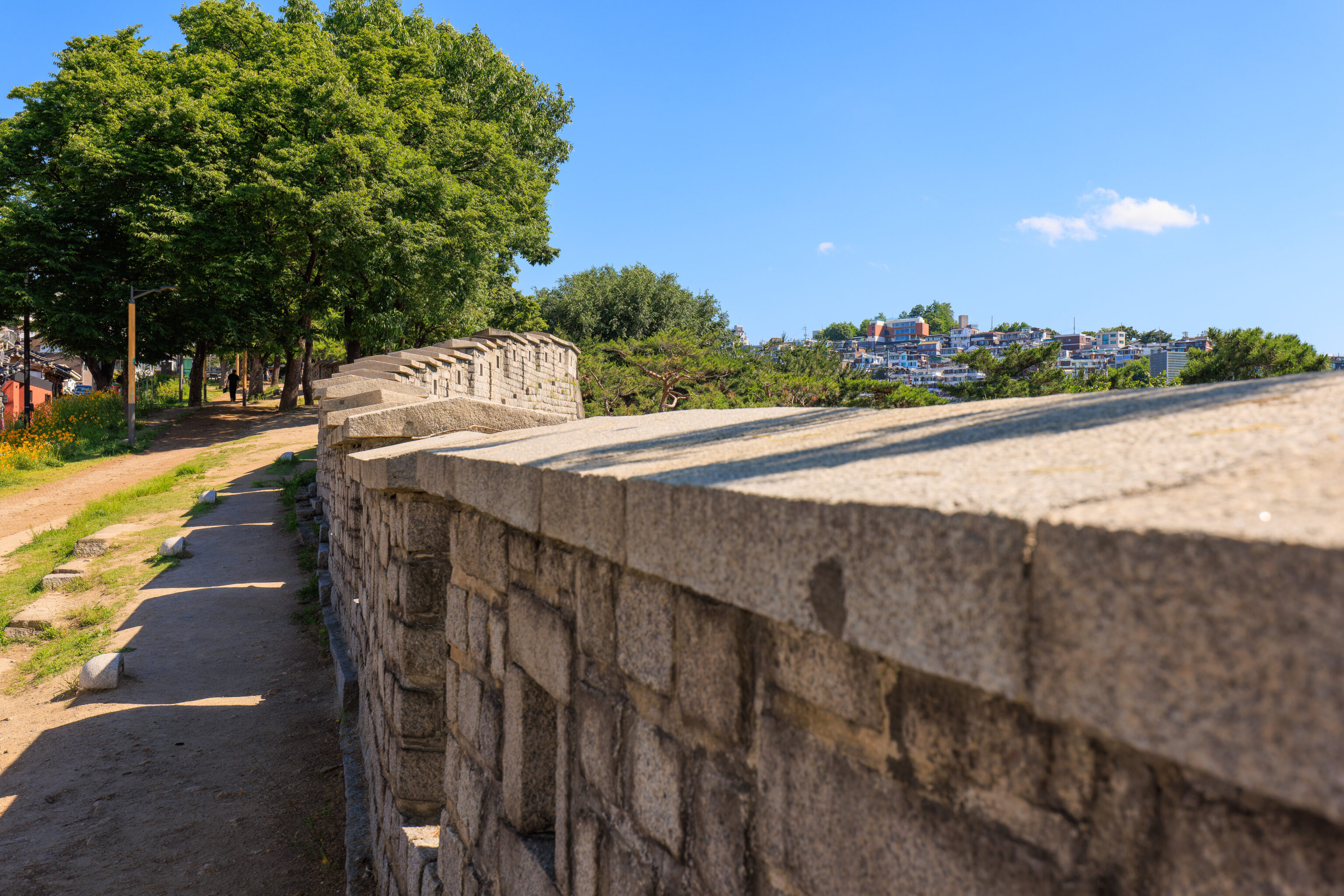
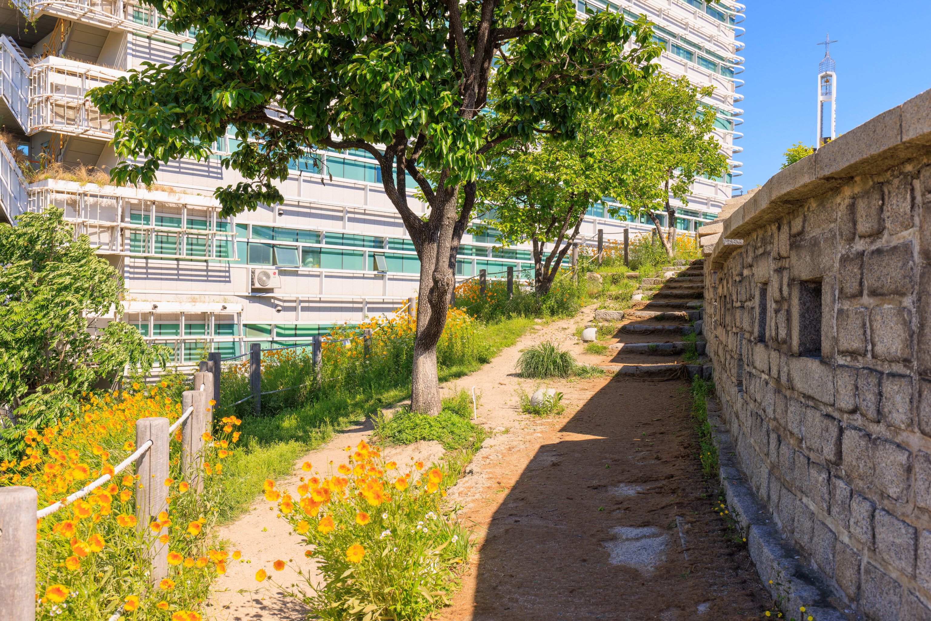
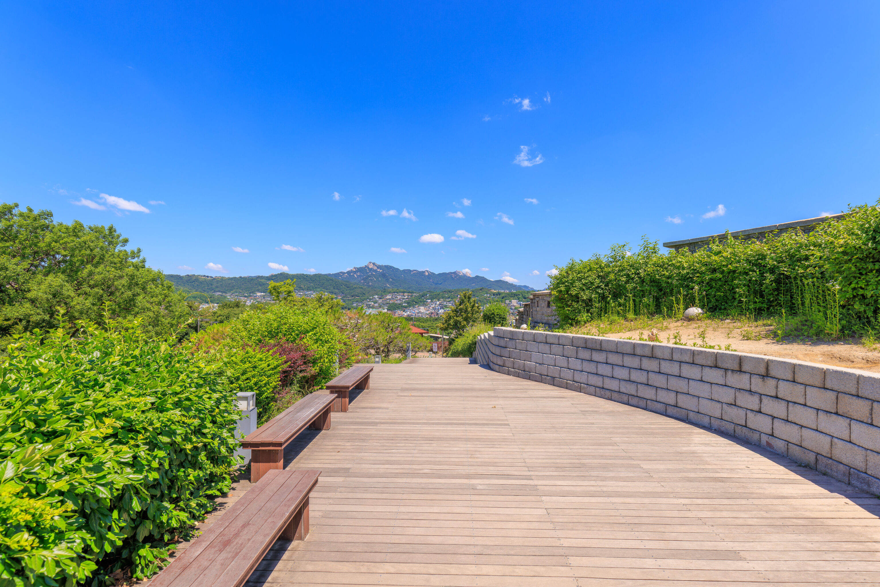
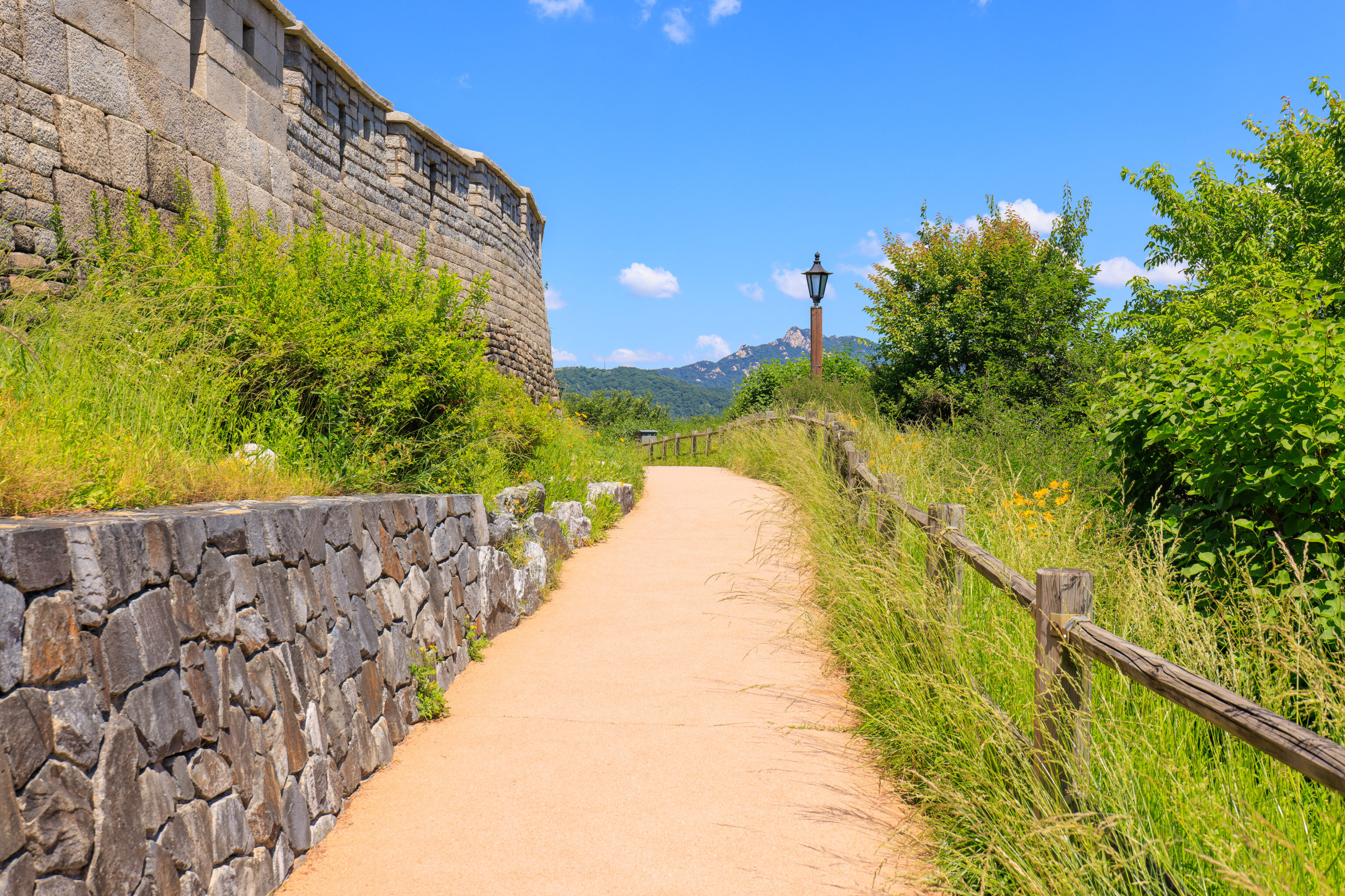
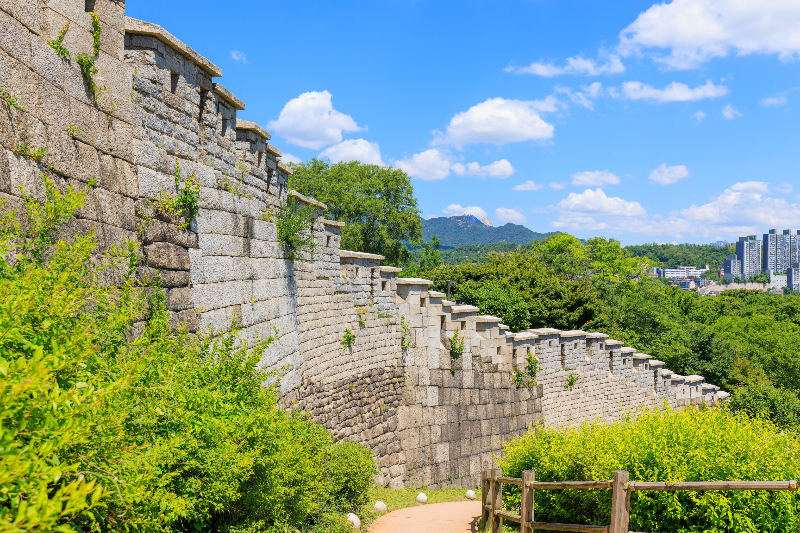
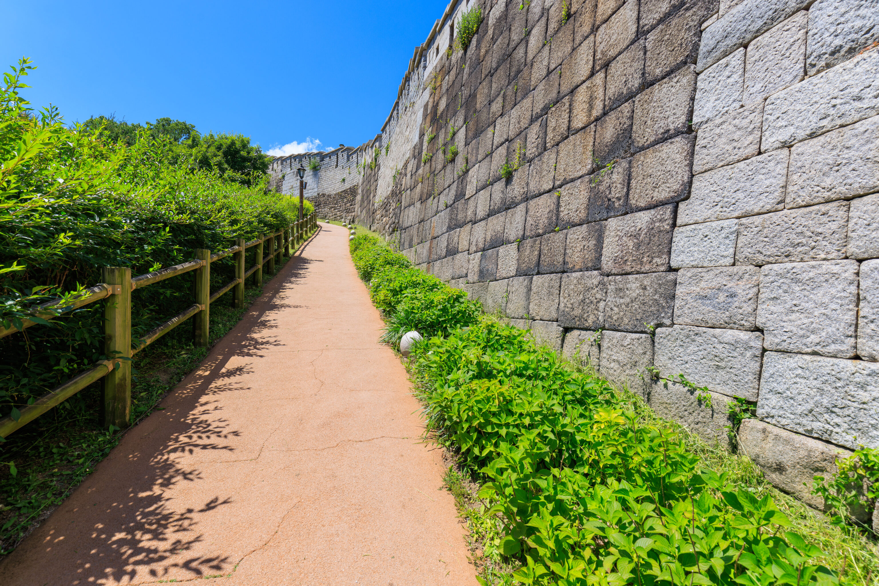
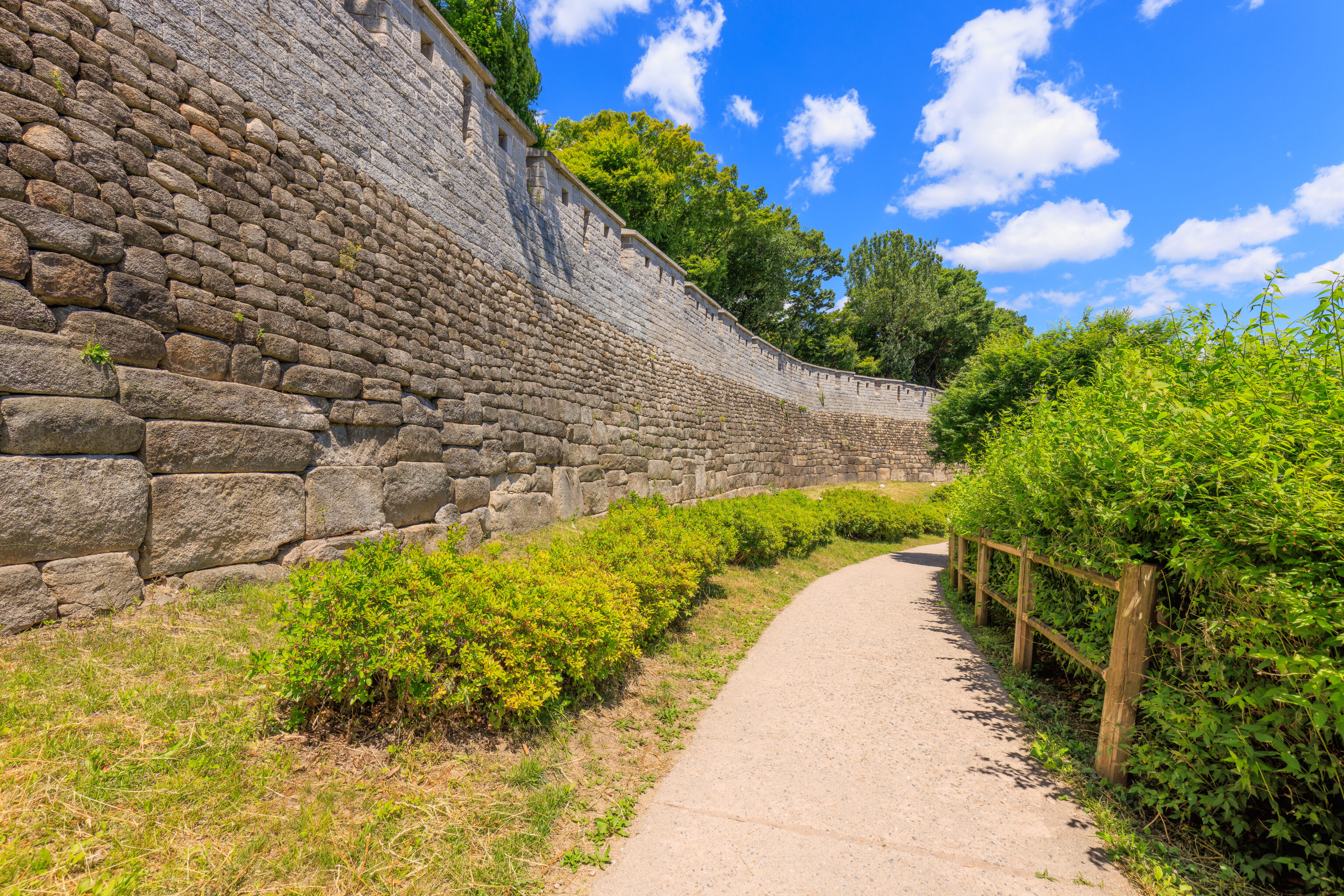
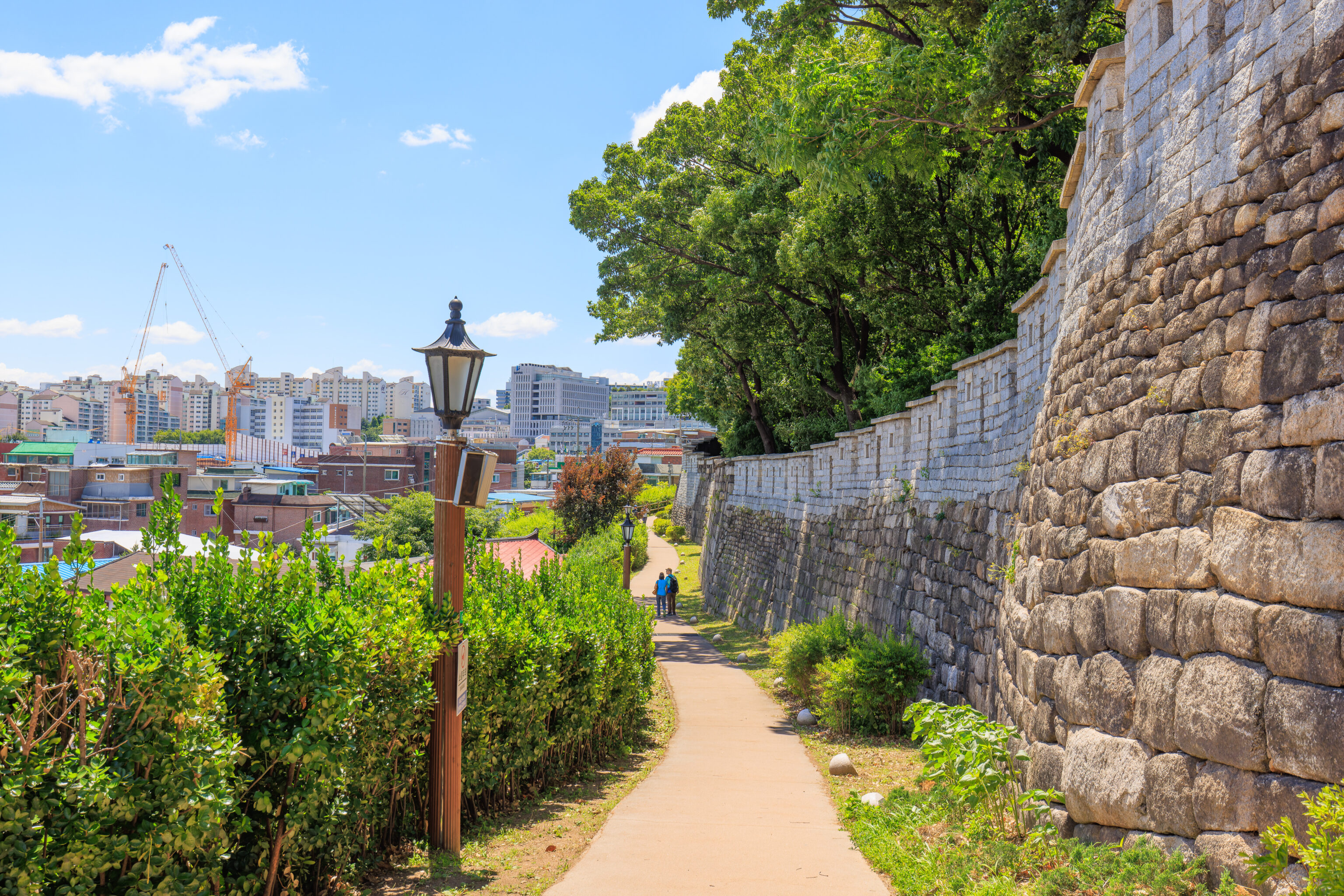
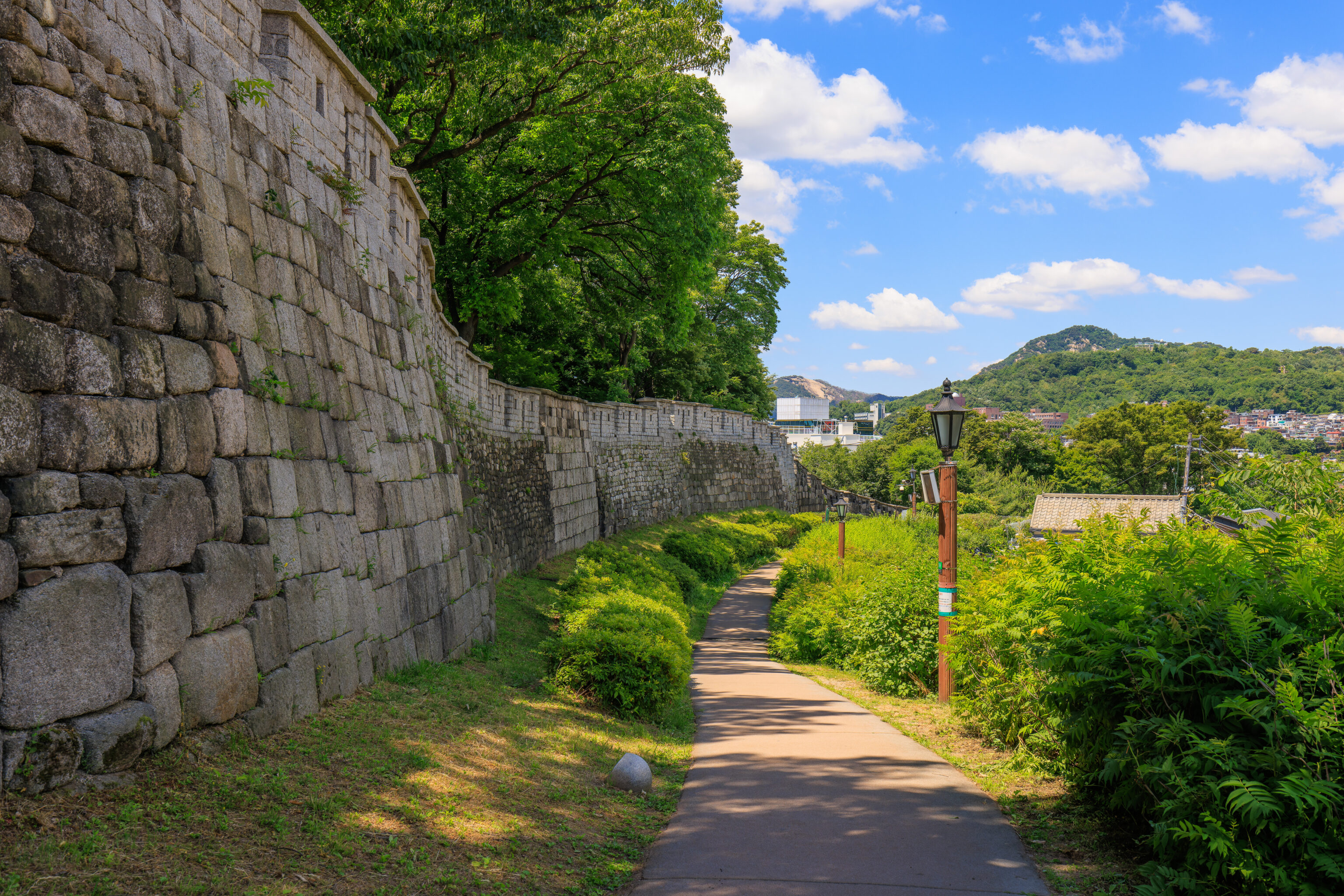
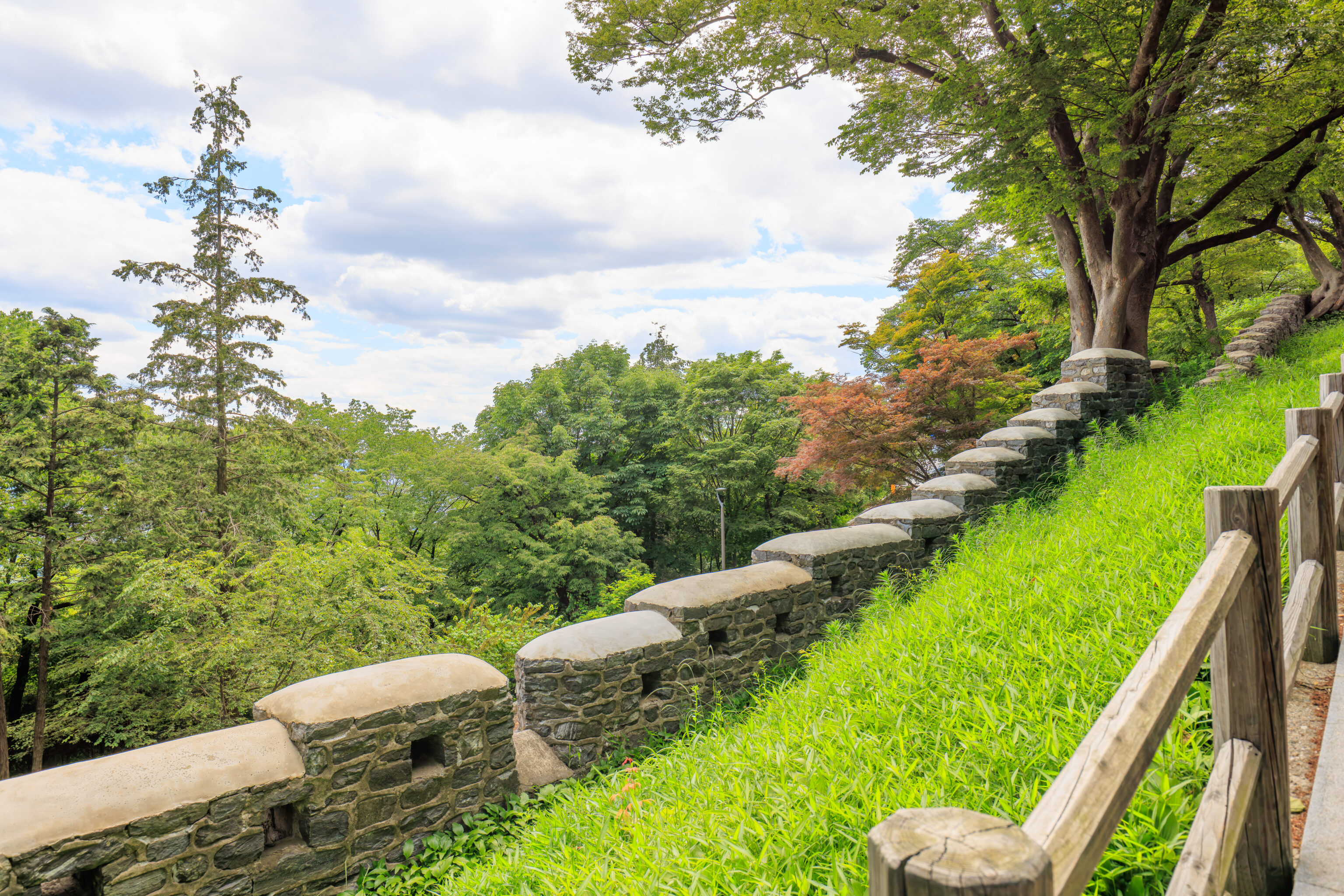
We continued walking to the north along the city wall. The path kept ascending, though not as steeply as the southernmost section.
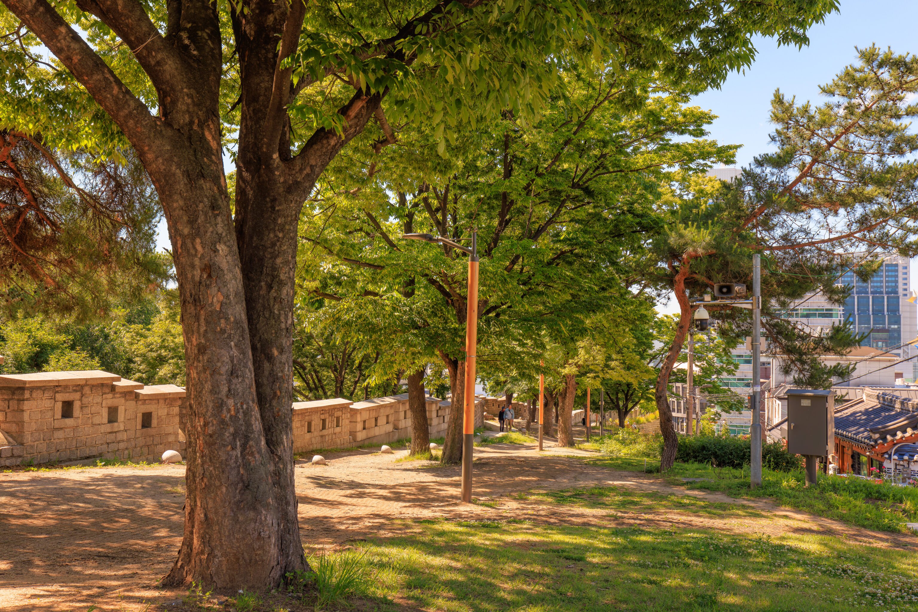
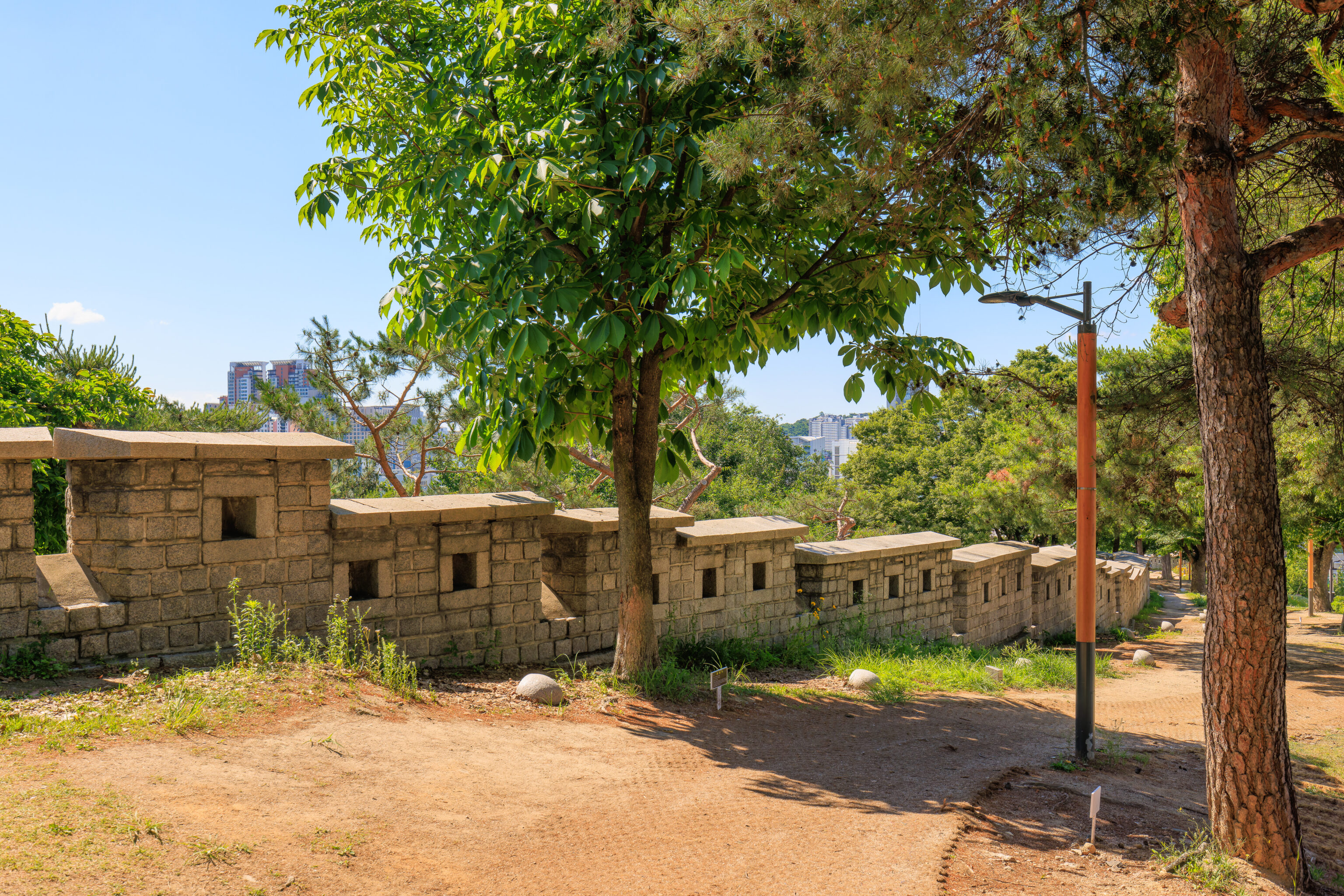
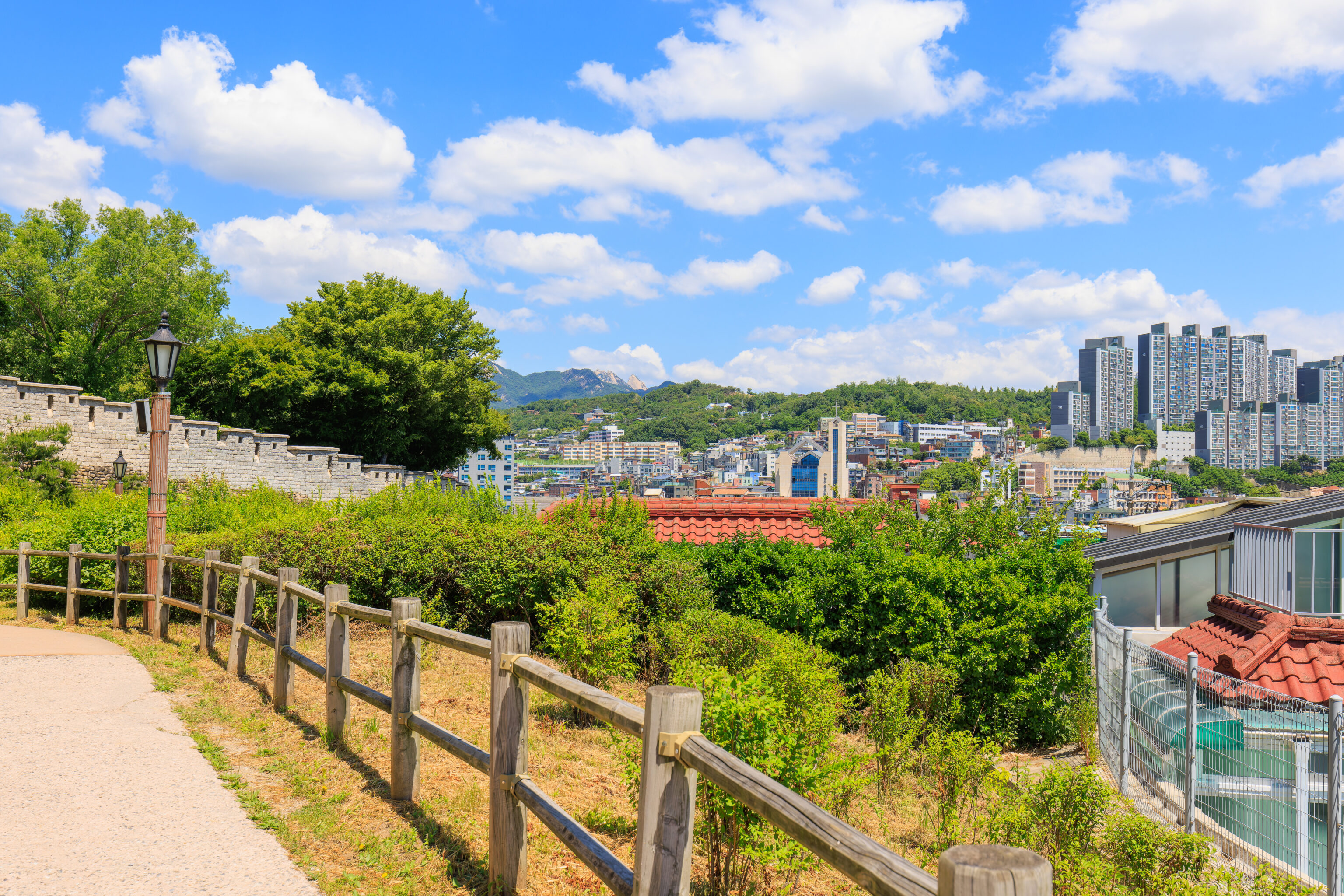
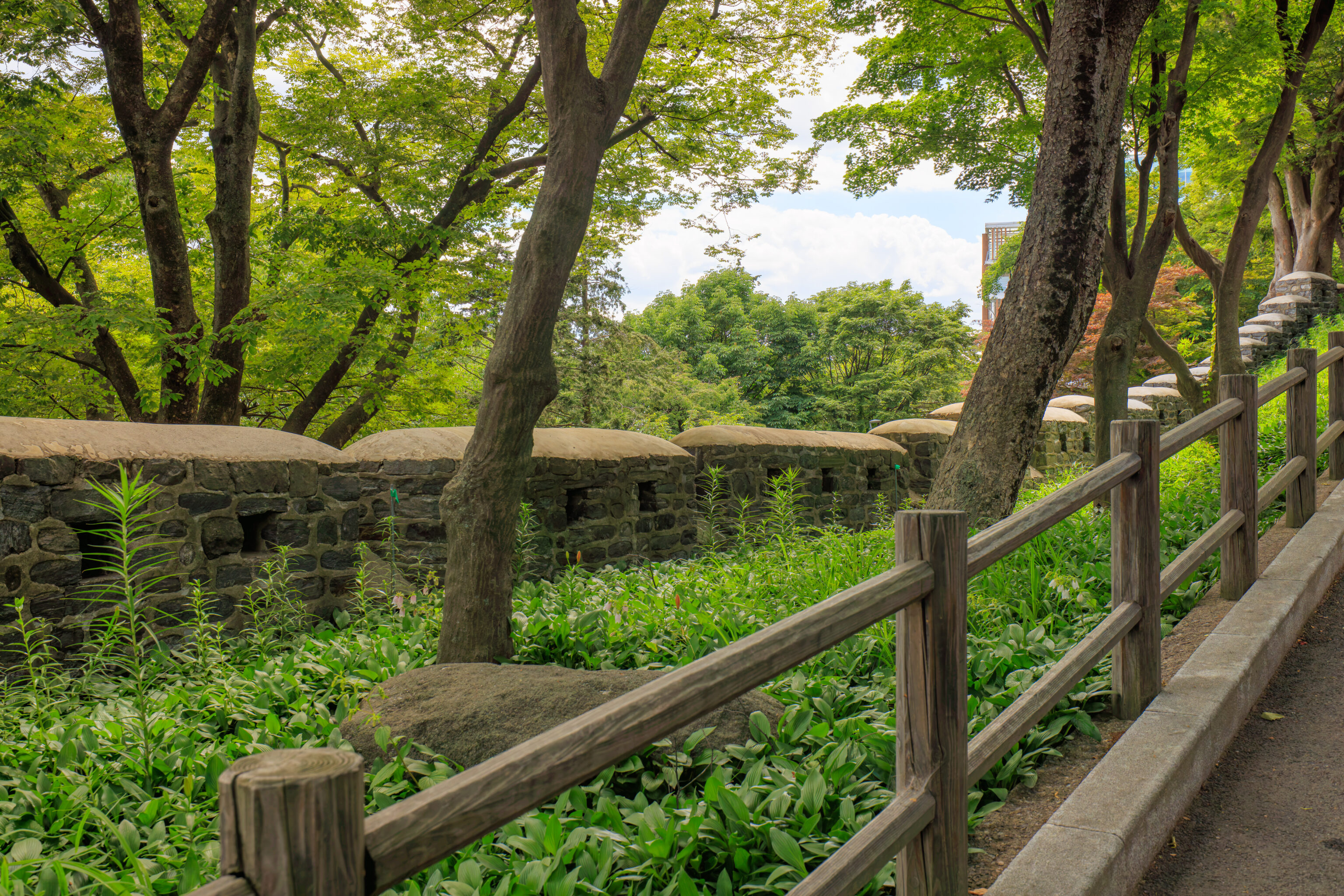
This section of the wall thankfully had some trees! It was pretty narrow here with just the wall, path, and some grass next to a road and a residential area.
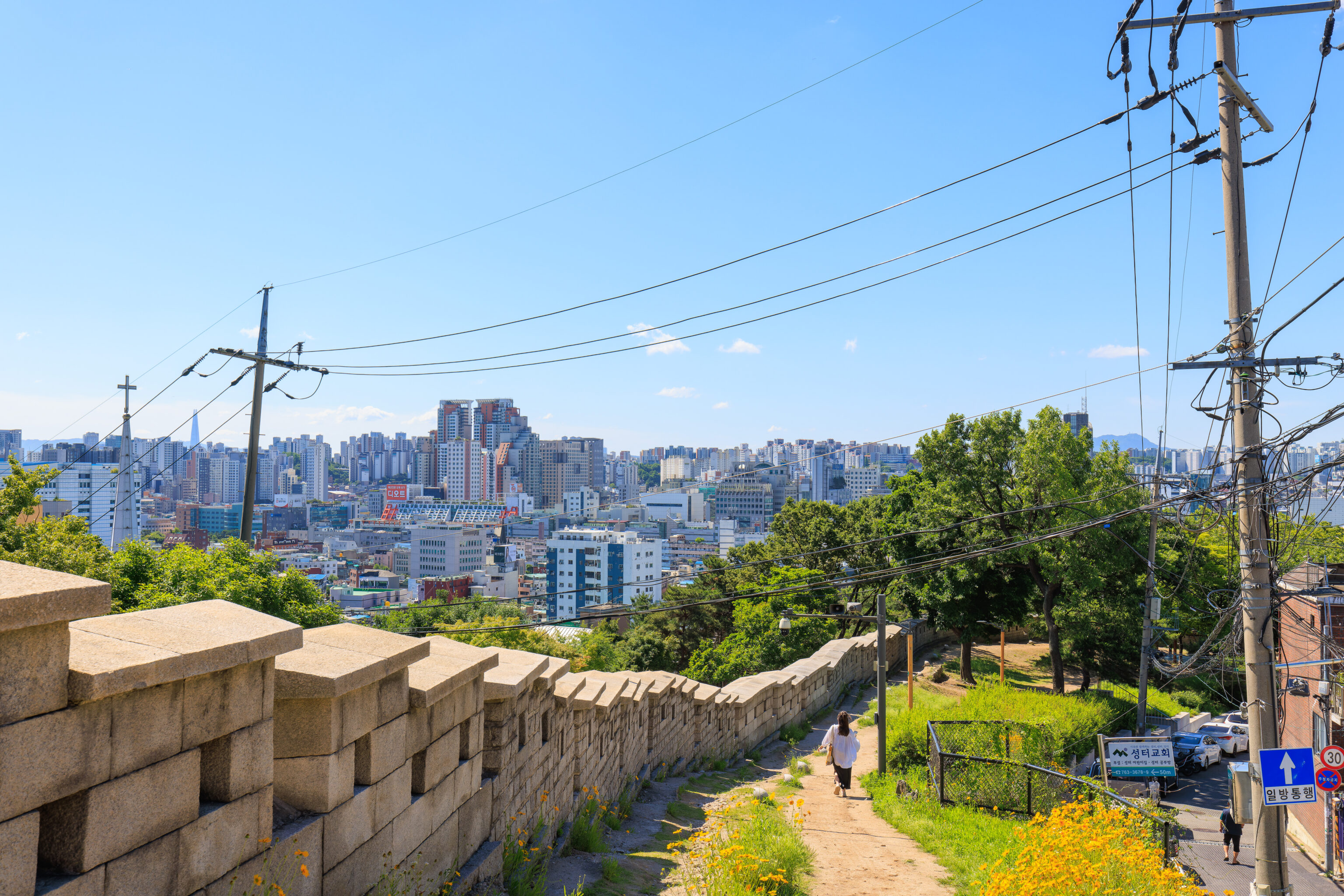
The path became narrower and steeper as we continued to walk by the city wall. This section, unfortunately, didn’t have any trees providing shade.
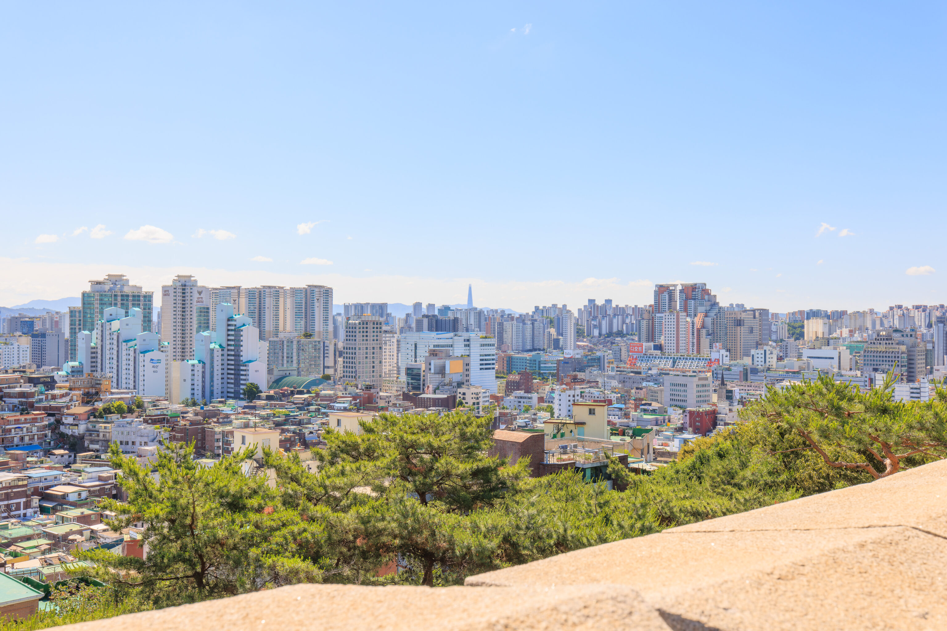
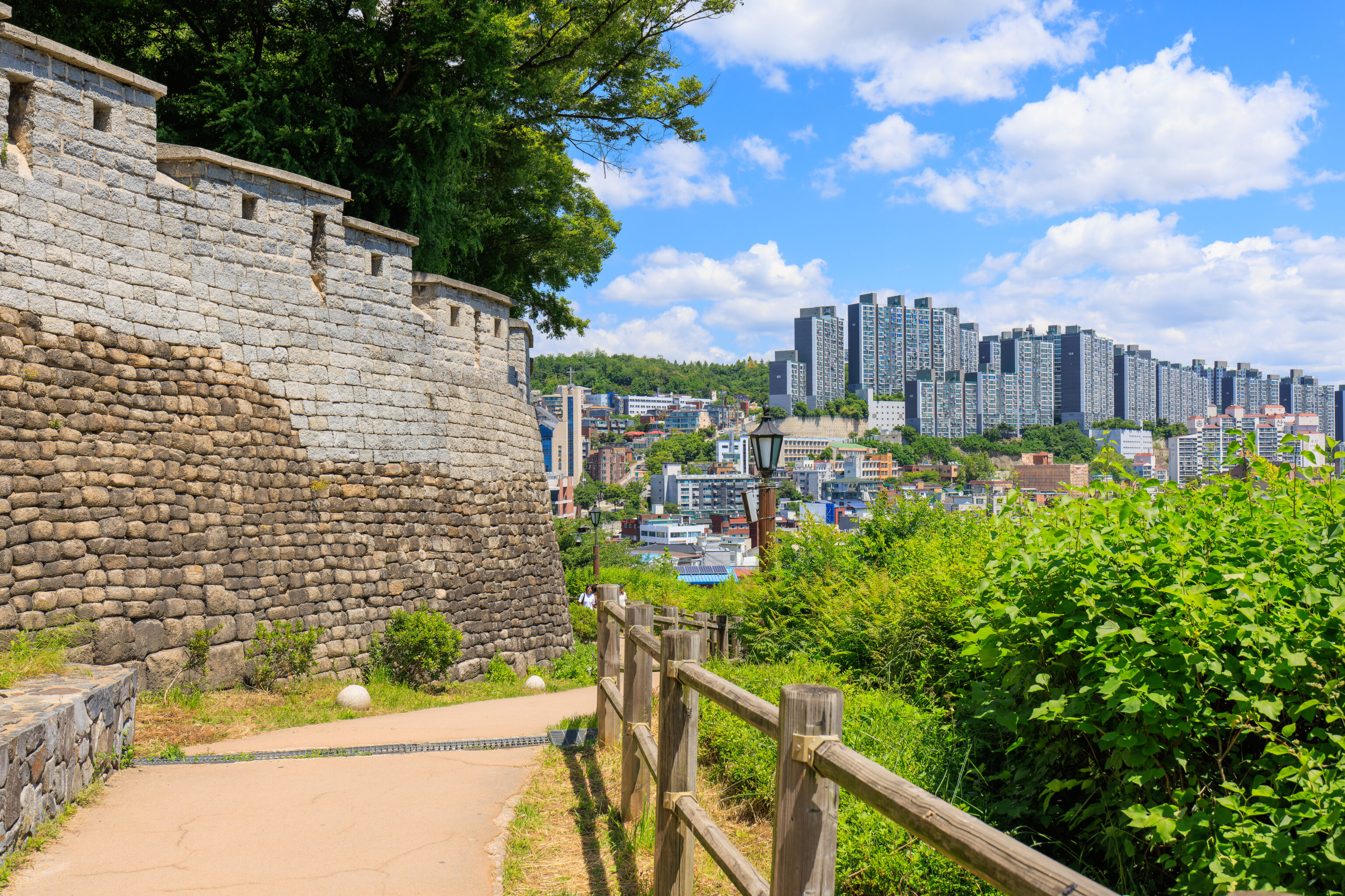
We could see the LOTTE World Tower, currently the tallest building in the Koreas and the 6th tallest building in the world, to the southwest. It is pretty far away but appears prominently on the horizon.
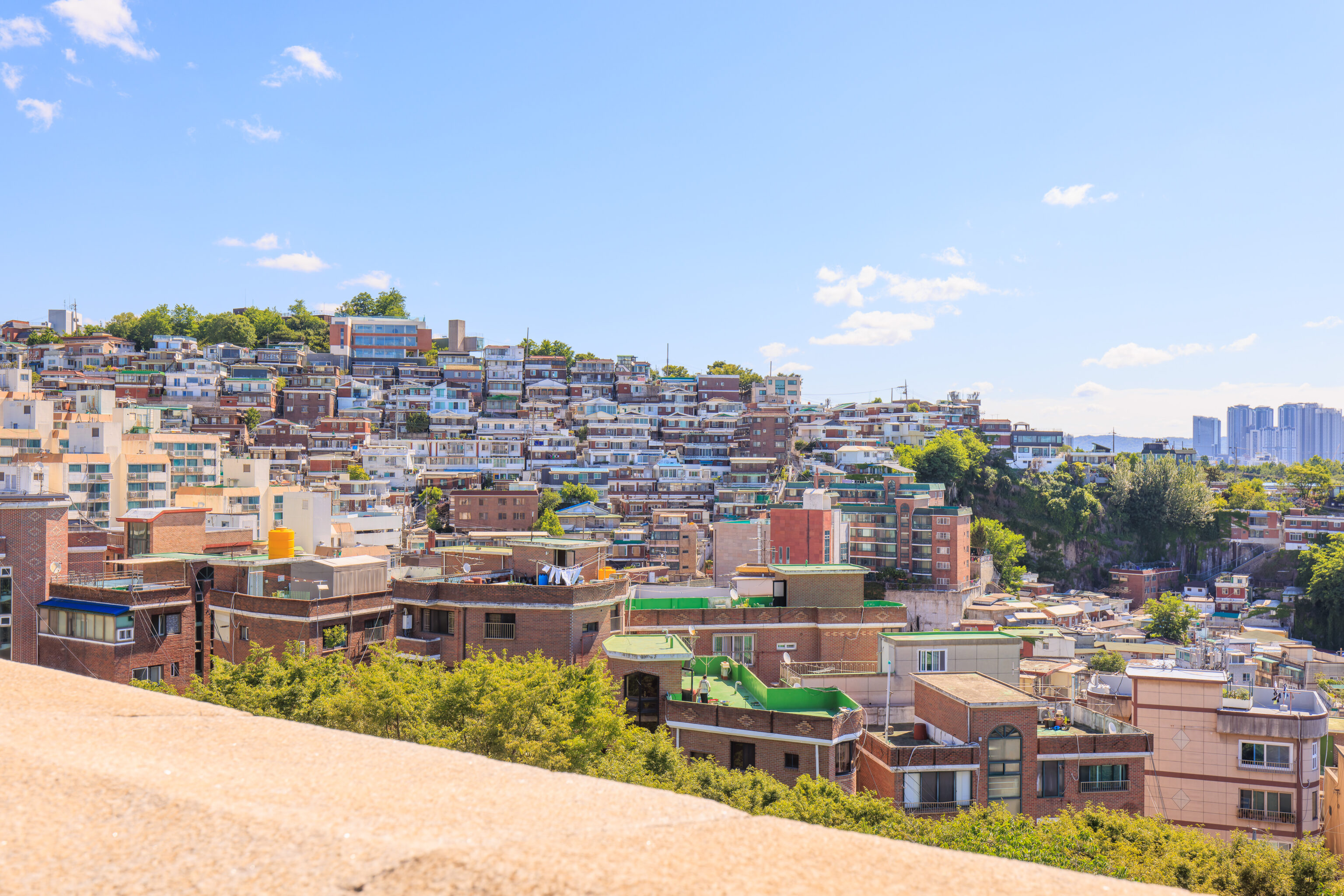
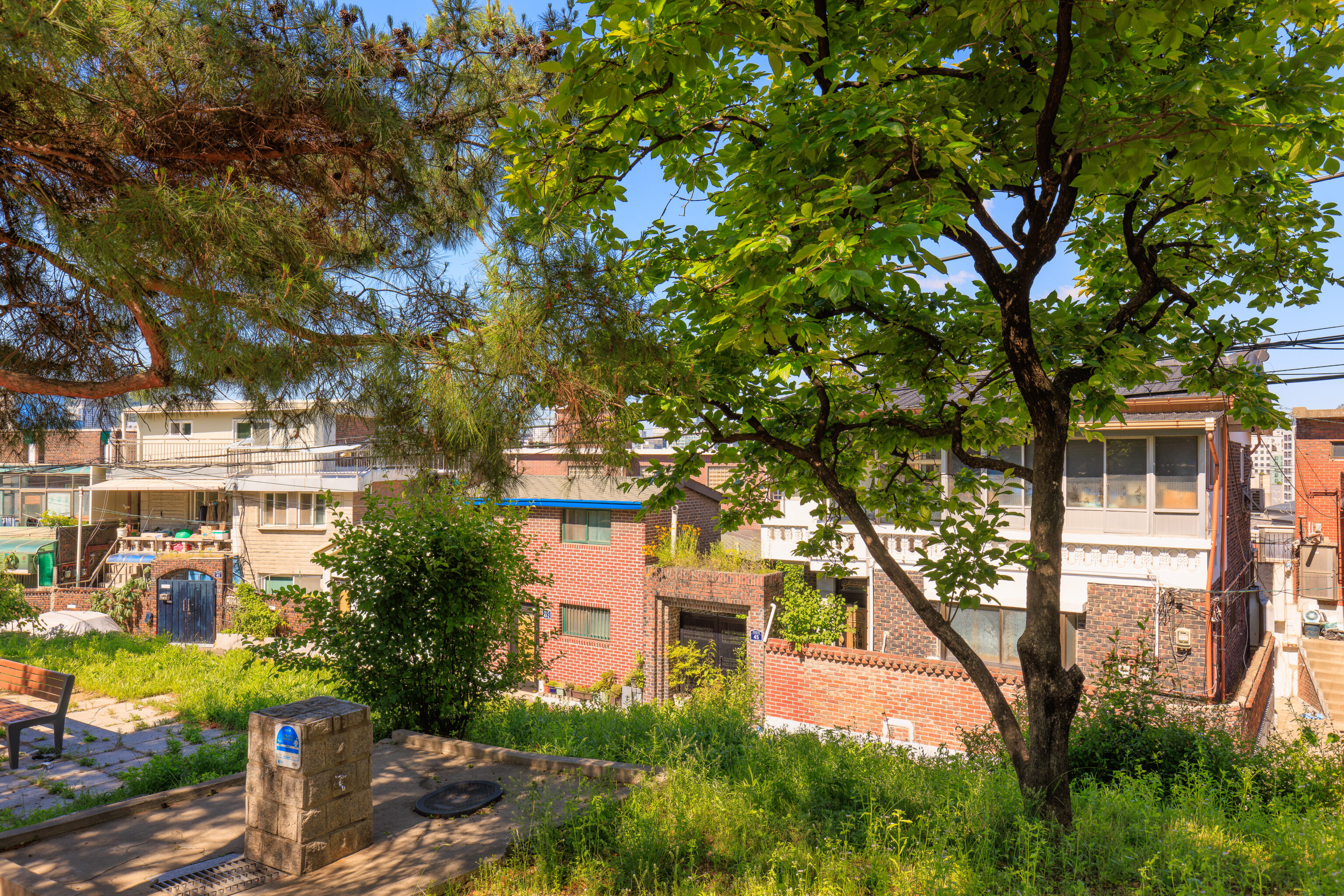
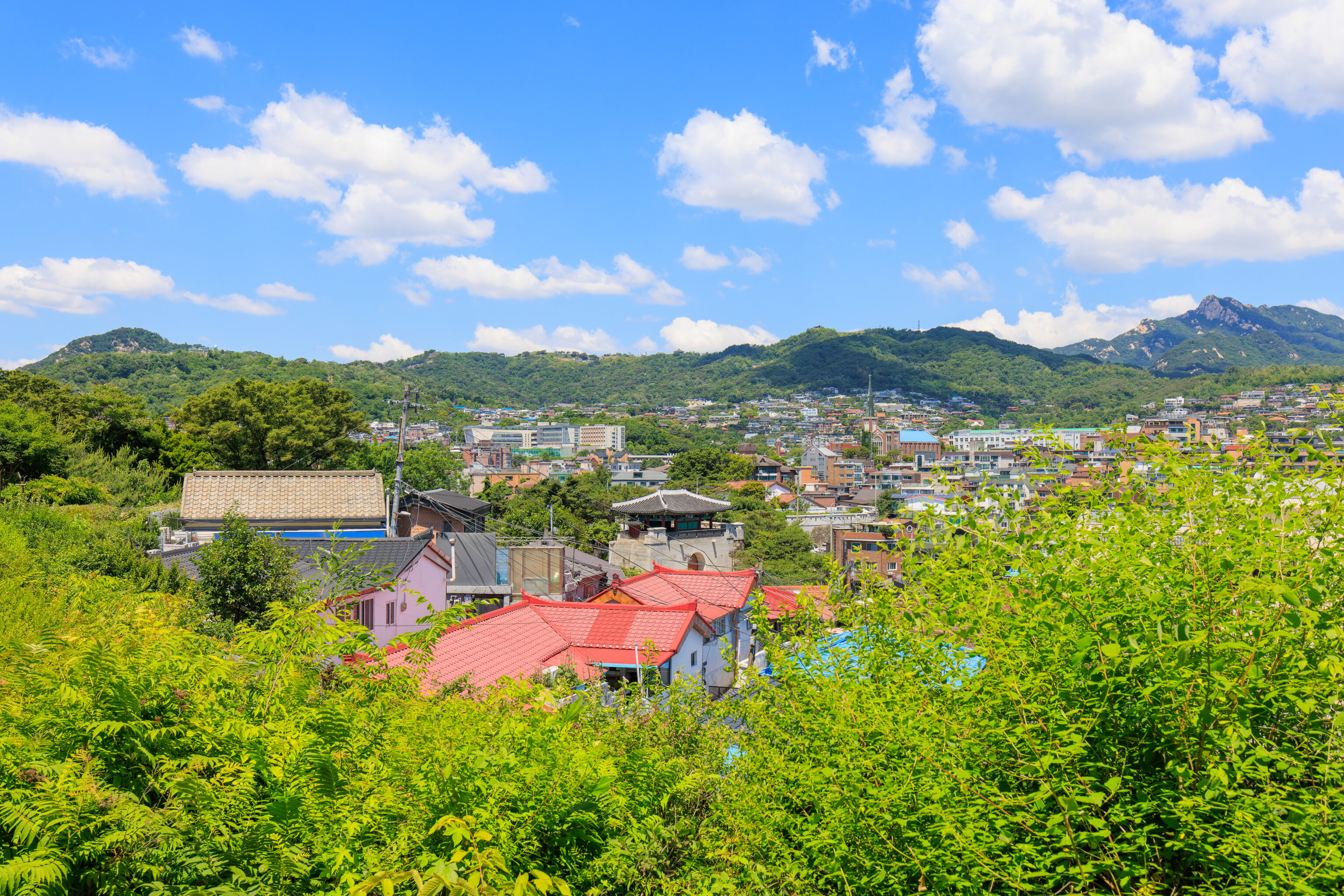
Naksan, which we are ascending, is covered with residential buildings.
There were a few businesses by the park. This one stood out with its large faded Ghostbusters logo!
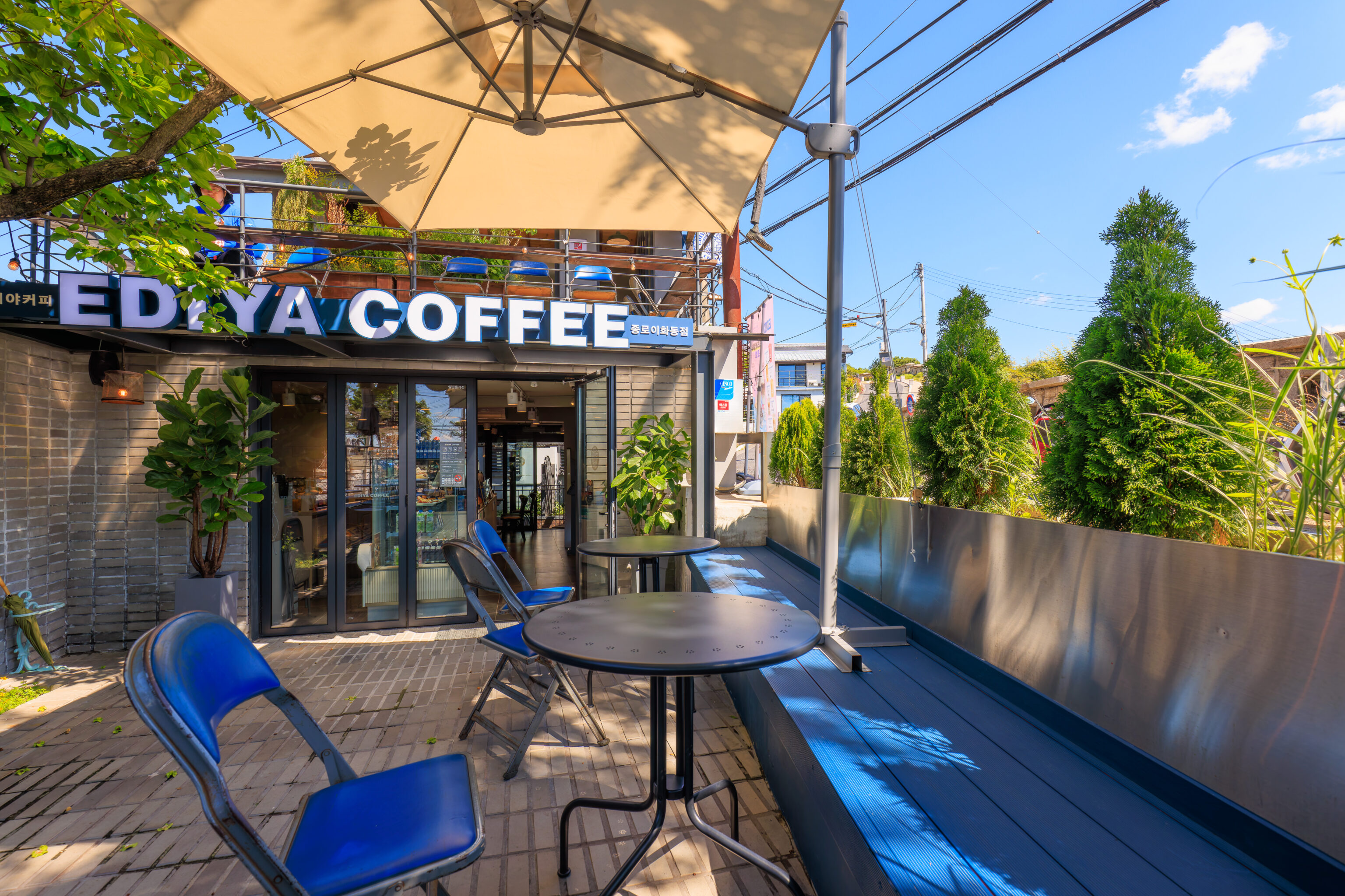
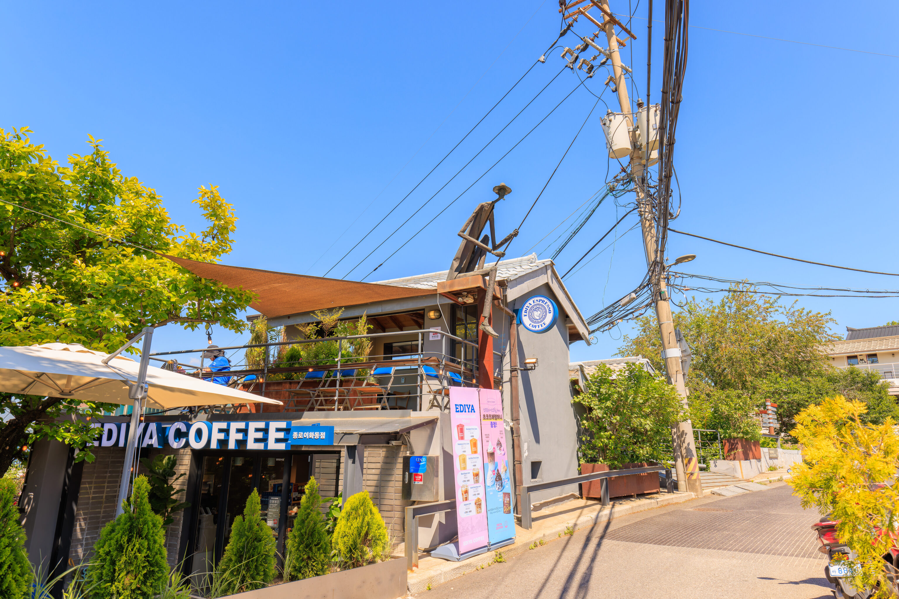
We decided to stop at Ediya Coffee for a snack. This chain is quite prominent in Seoul and has over 3000 locations in South Korea2. This particular location seems to be new.
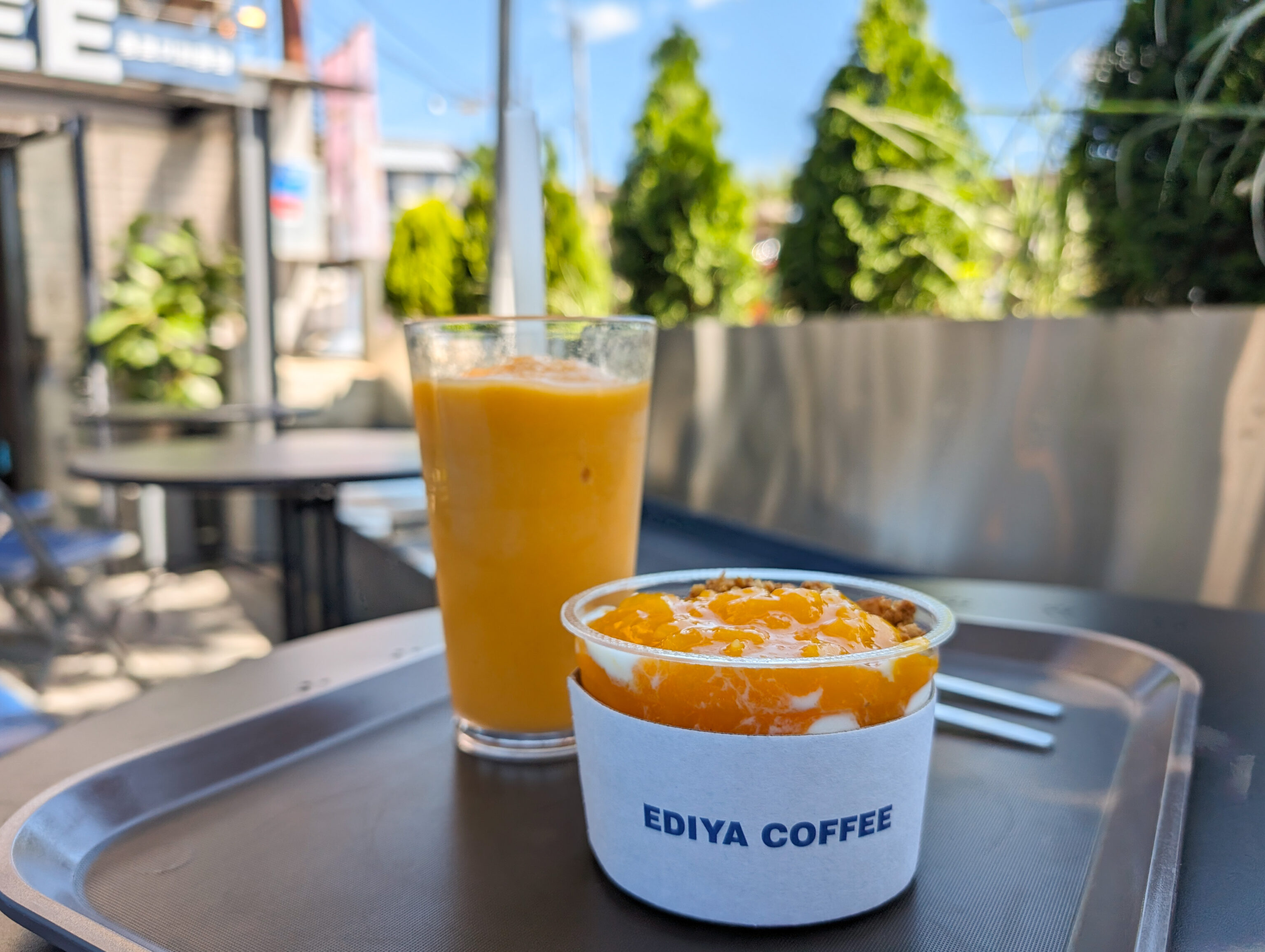
We got a persimmon drink and a mango and granola yogurt thing. The yogurt had an interesting texture, something like in between shave and blended ice but thicker. It was a pretty satisfying snack for a hot and sunny morning.
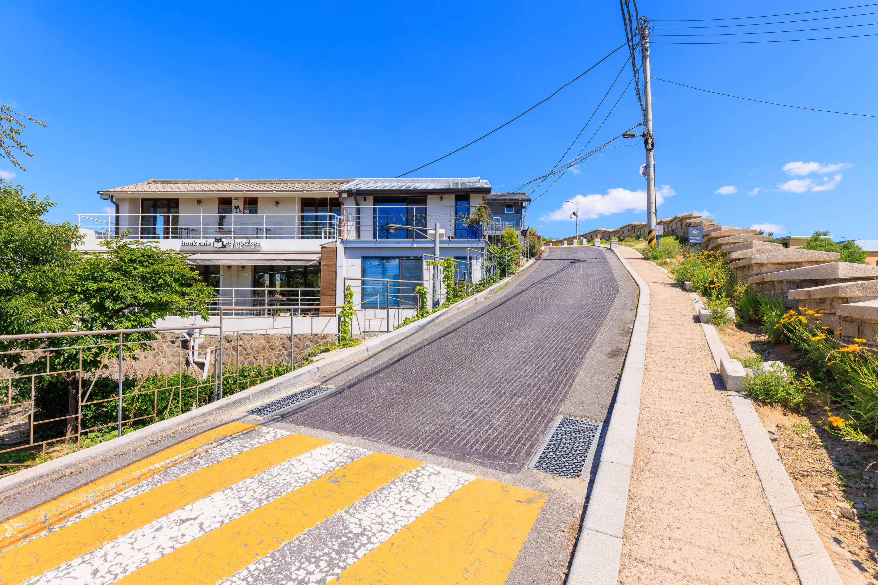
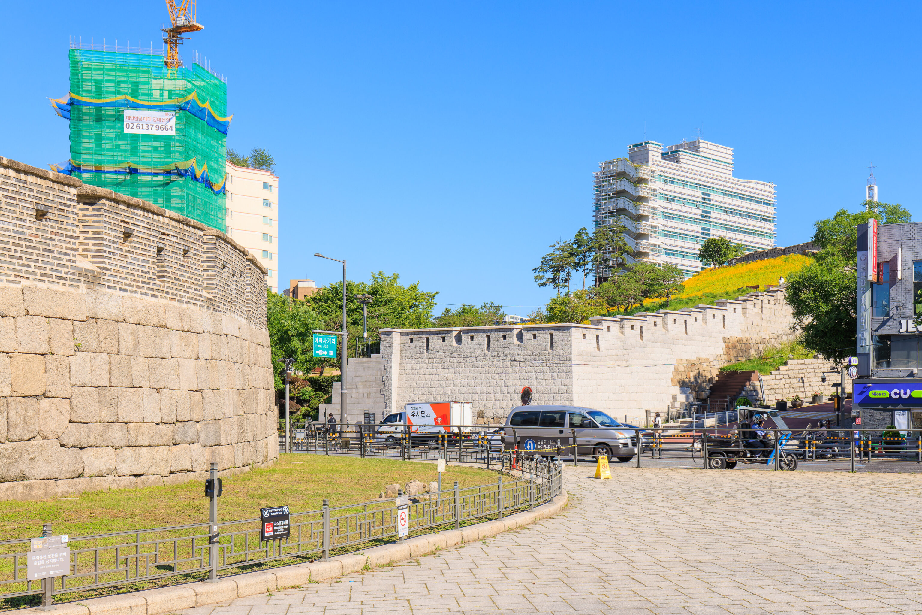
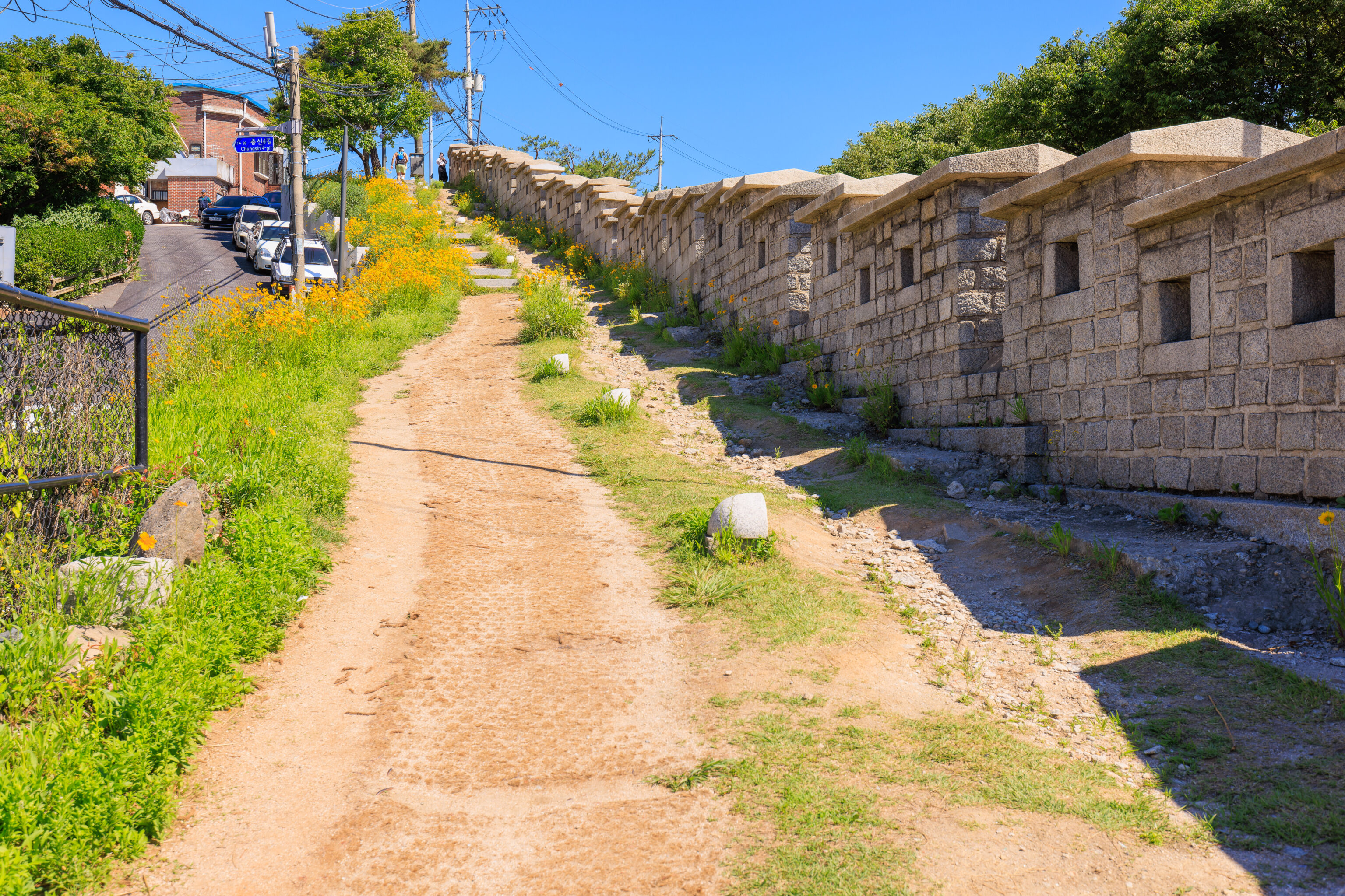
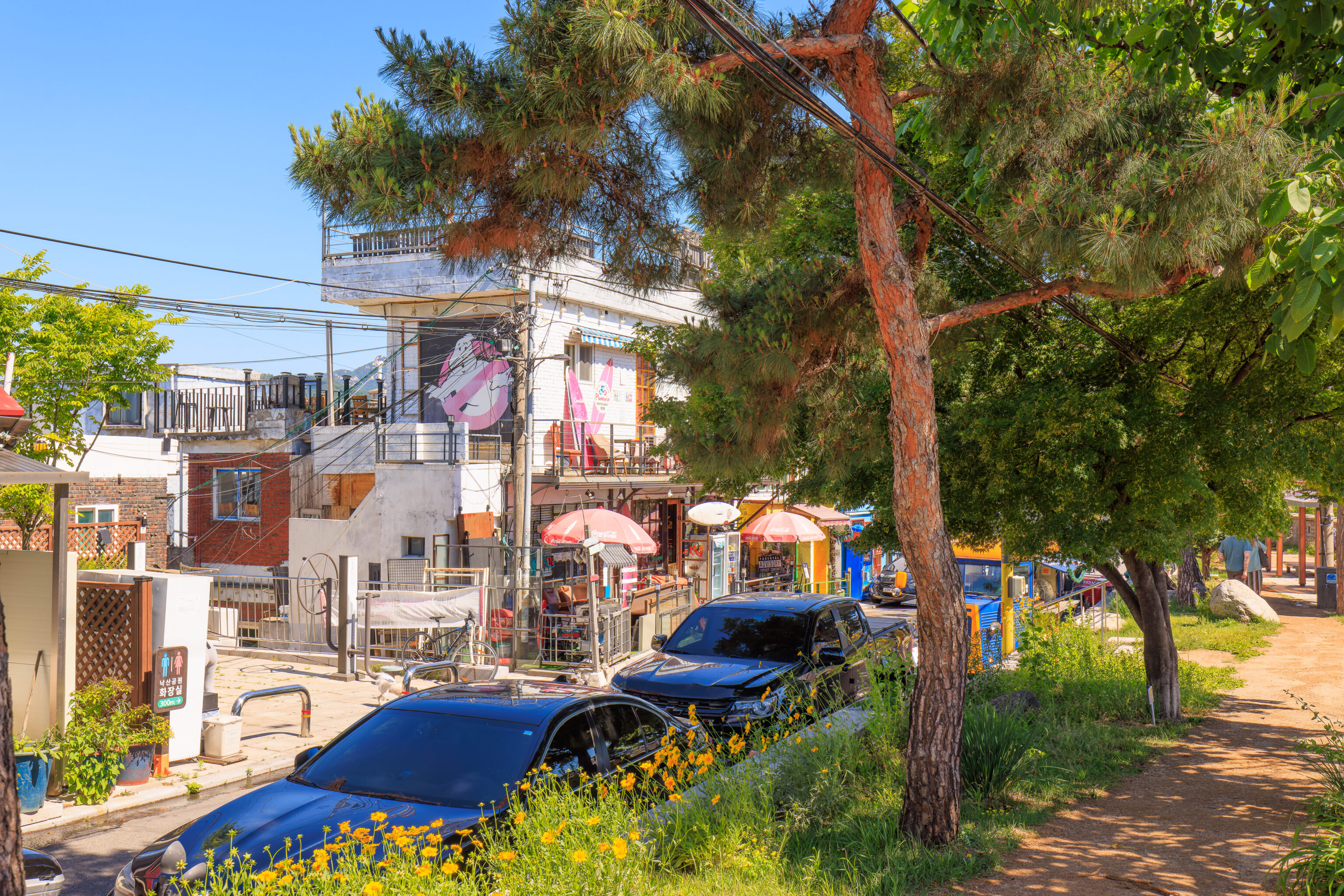
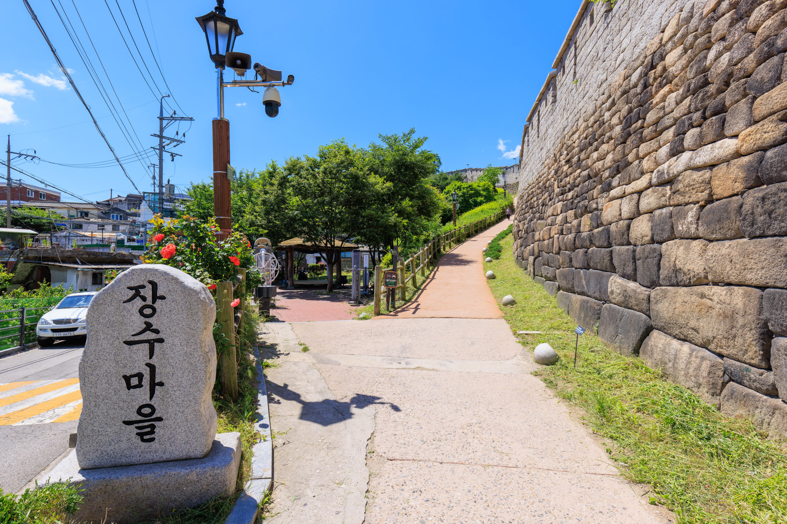
We continued walking up a steep section where wall and path were right by the road. There were more cafes in this section. This area seems to be the eastern edge of the 이화 벽화마을 Ihwa Mural Village. This community has become a tourist destination for its colorful murals. We continued past the area though, staying on the path by the city wall.
The roof below resembles a temple roof. This section of wall seems to have a narrow road running parallel on the eastern side.
There were many of these yellow flowers next to the wall.
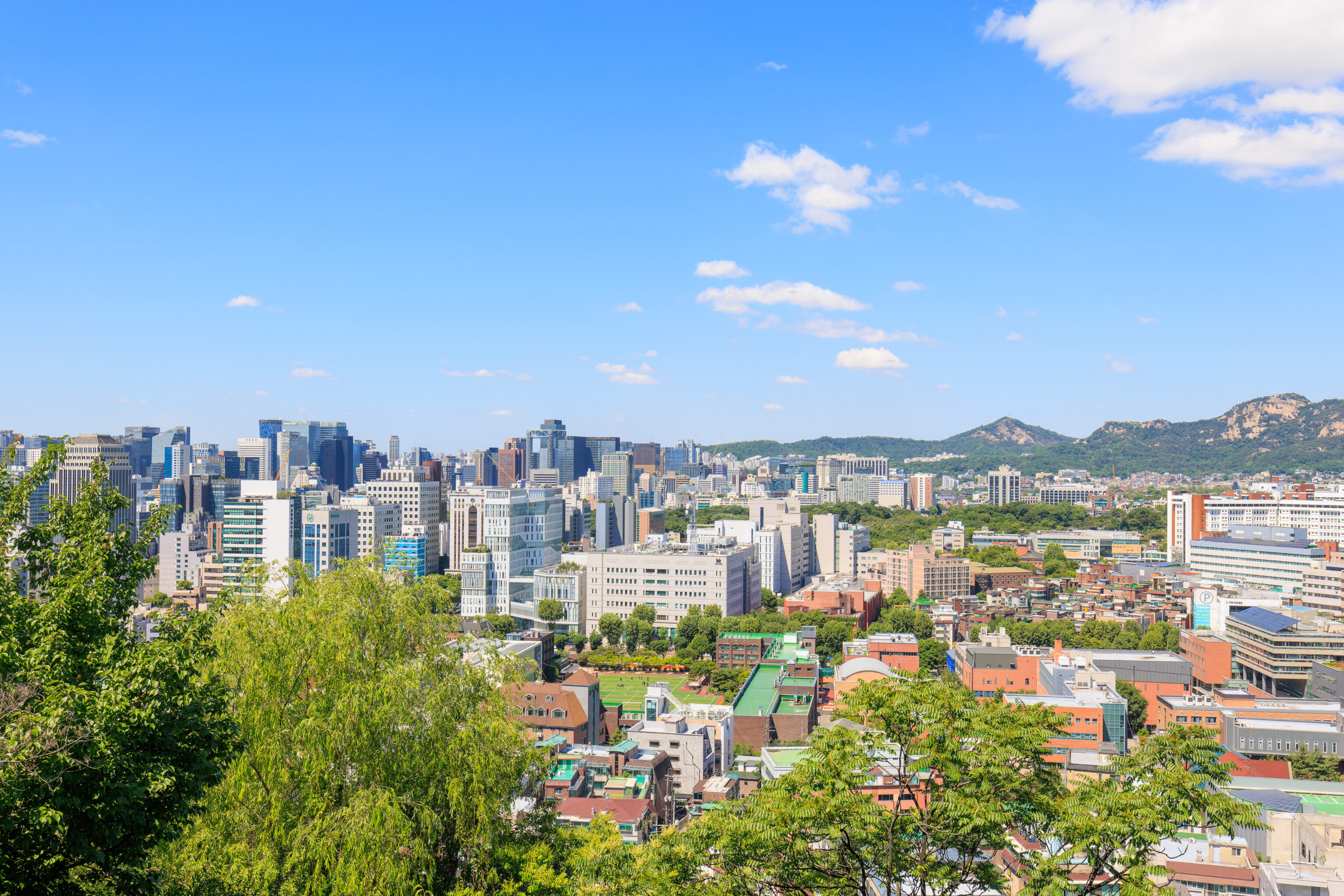
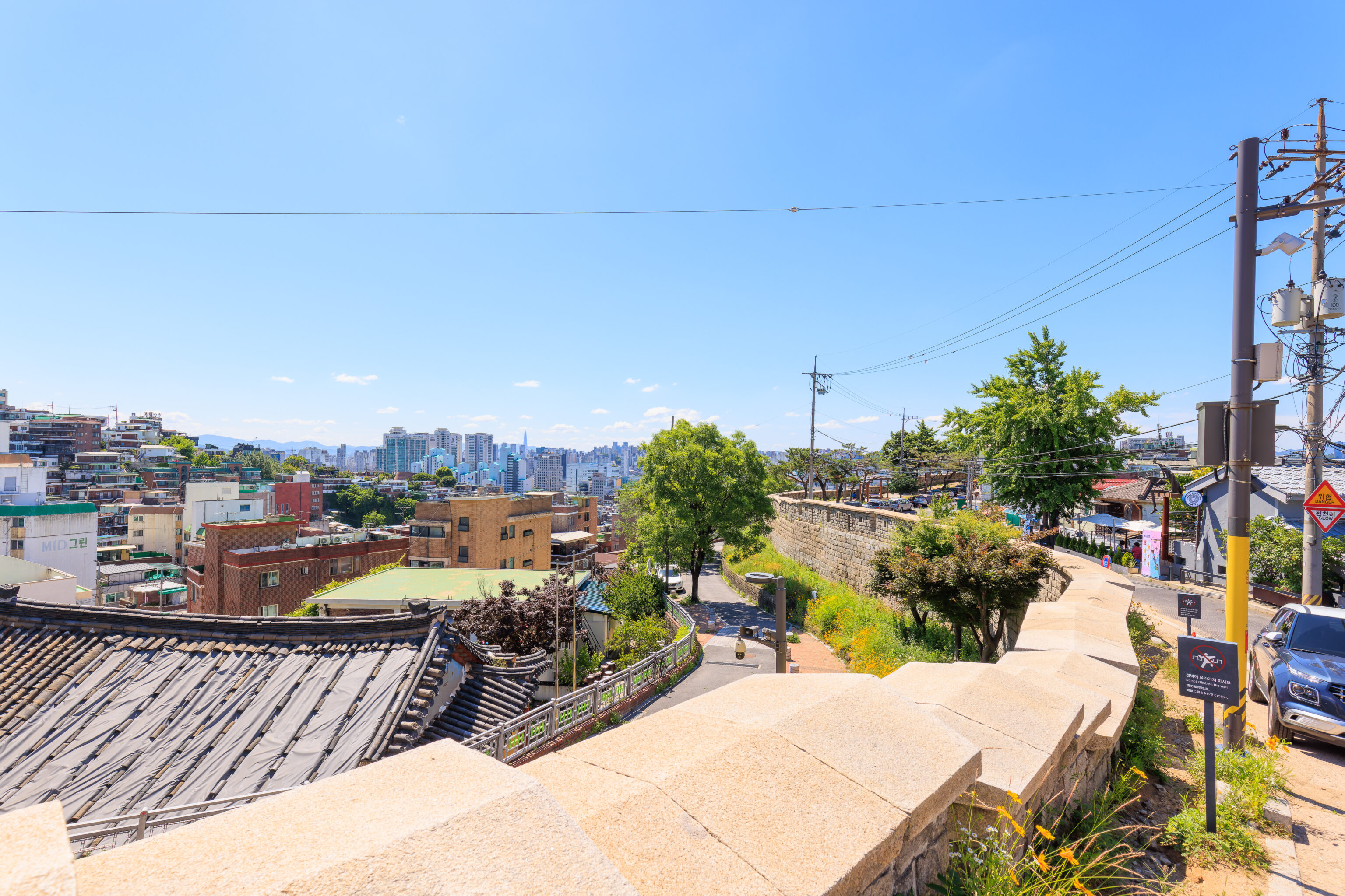
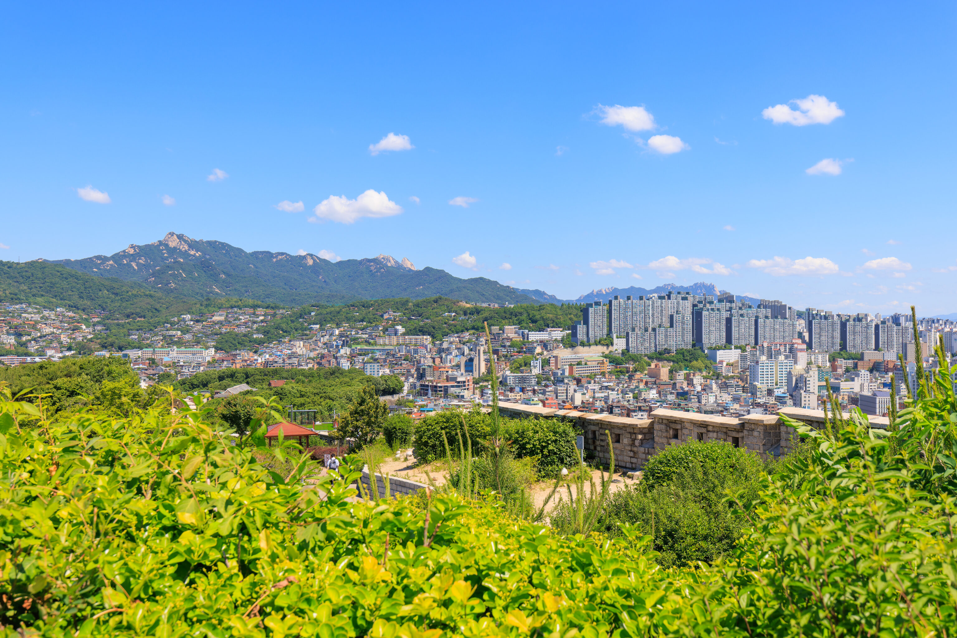
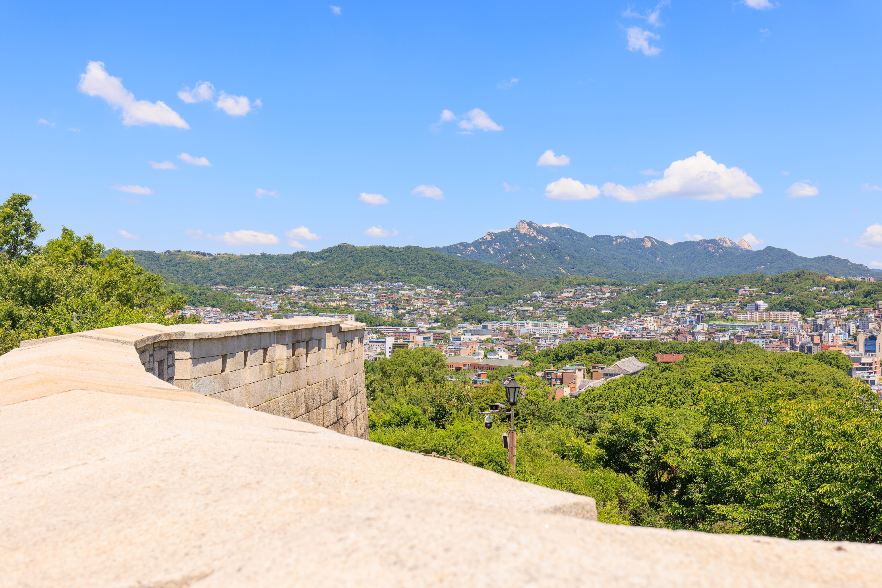
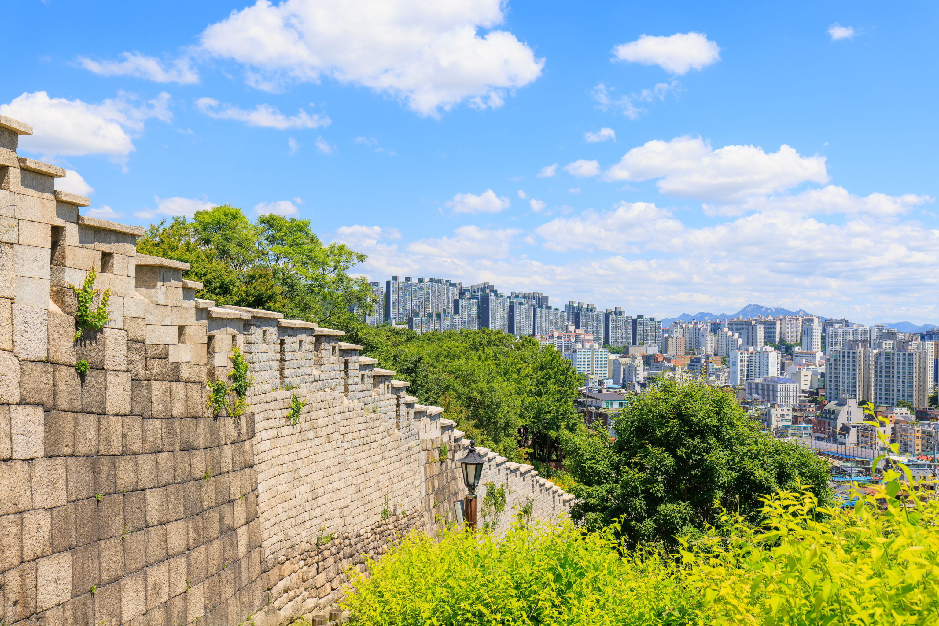
Soon, were were on a somewhat narrow ridge with just enough room for the wall, walking path, narrow road, and parkland. From here, we were able to see to the west. The cluster of tall buildings is the area around City Hall and Myeongdong, which we walked through yesterday. There isn’t really anything that is recognizable to us from this perspective, though the uniquely designed Samsung Jungno Tower, which we walked by yesterday, is visible from here.
We came across another steep section!
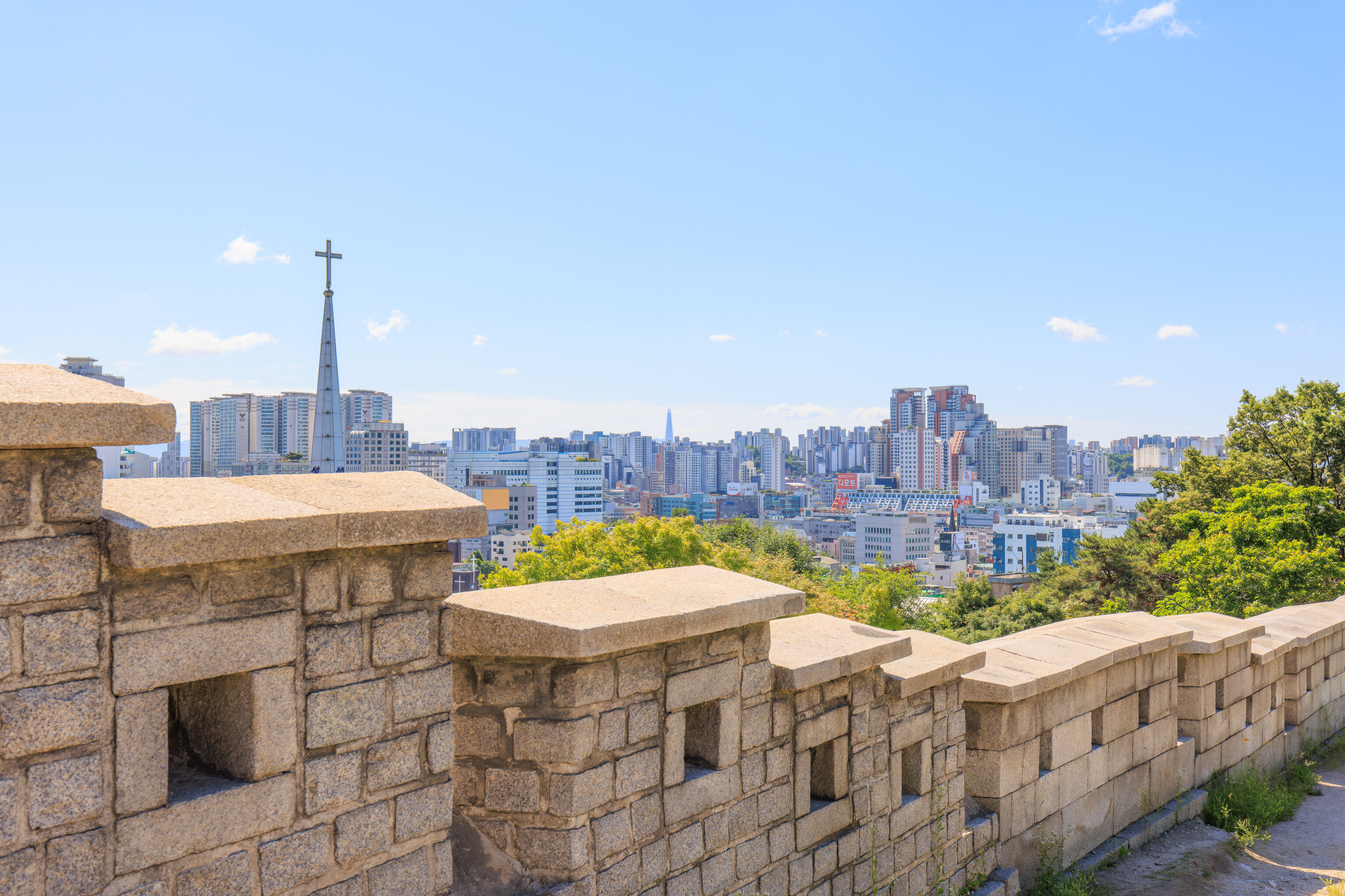
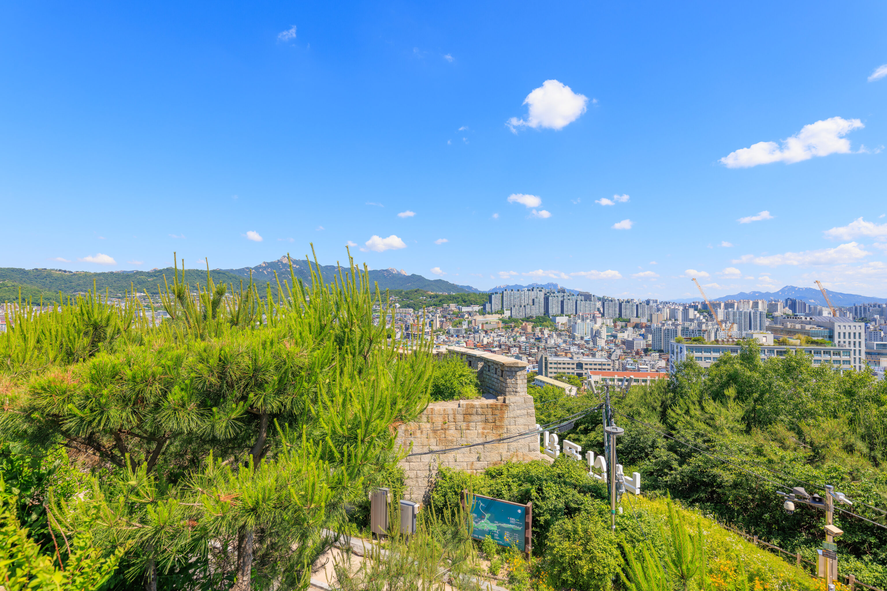
Thanks to our increased elevation, we had a beautiful panoramic view to the southwest. The N Seoul Tower is the most obvious landmark here. The aerial tram going up to the summit is also visible. Also visible here, at the very right, is the 63 Building. It was the former tallest building in Seoul and the tallest building outside of North America when it opened3.
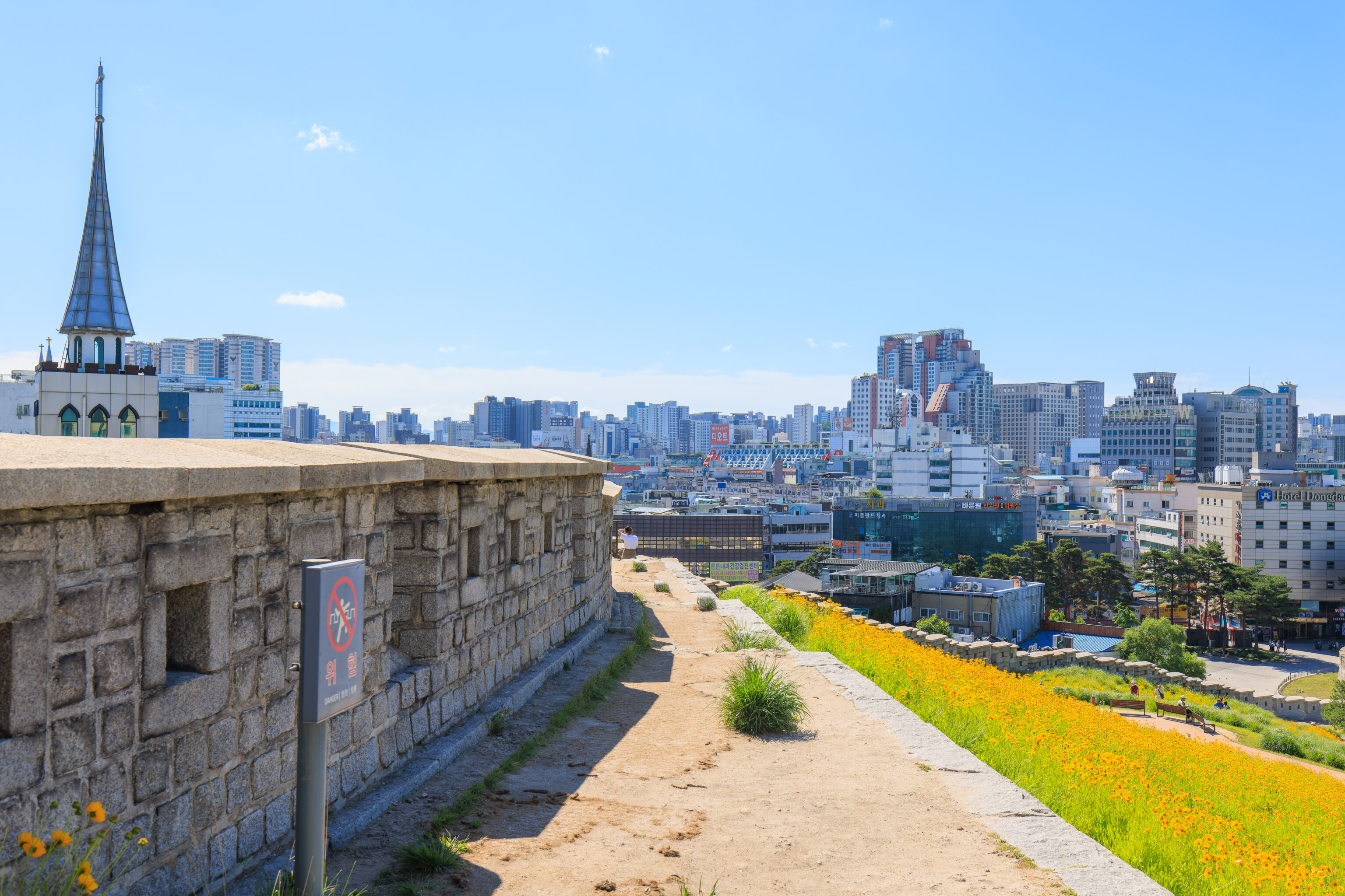
Looking directly to the south, we could the grassy roof of the DDP. Earlier, we had noticed two people on the roof. They seemed like they were probably maintenance staff. There still seemed to be a few people there, though they appeared as tiny dots from this distance. A bit of Dongdaemun’s roof is visible as well, though it is pretty hard to make out.
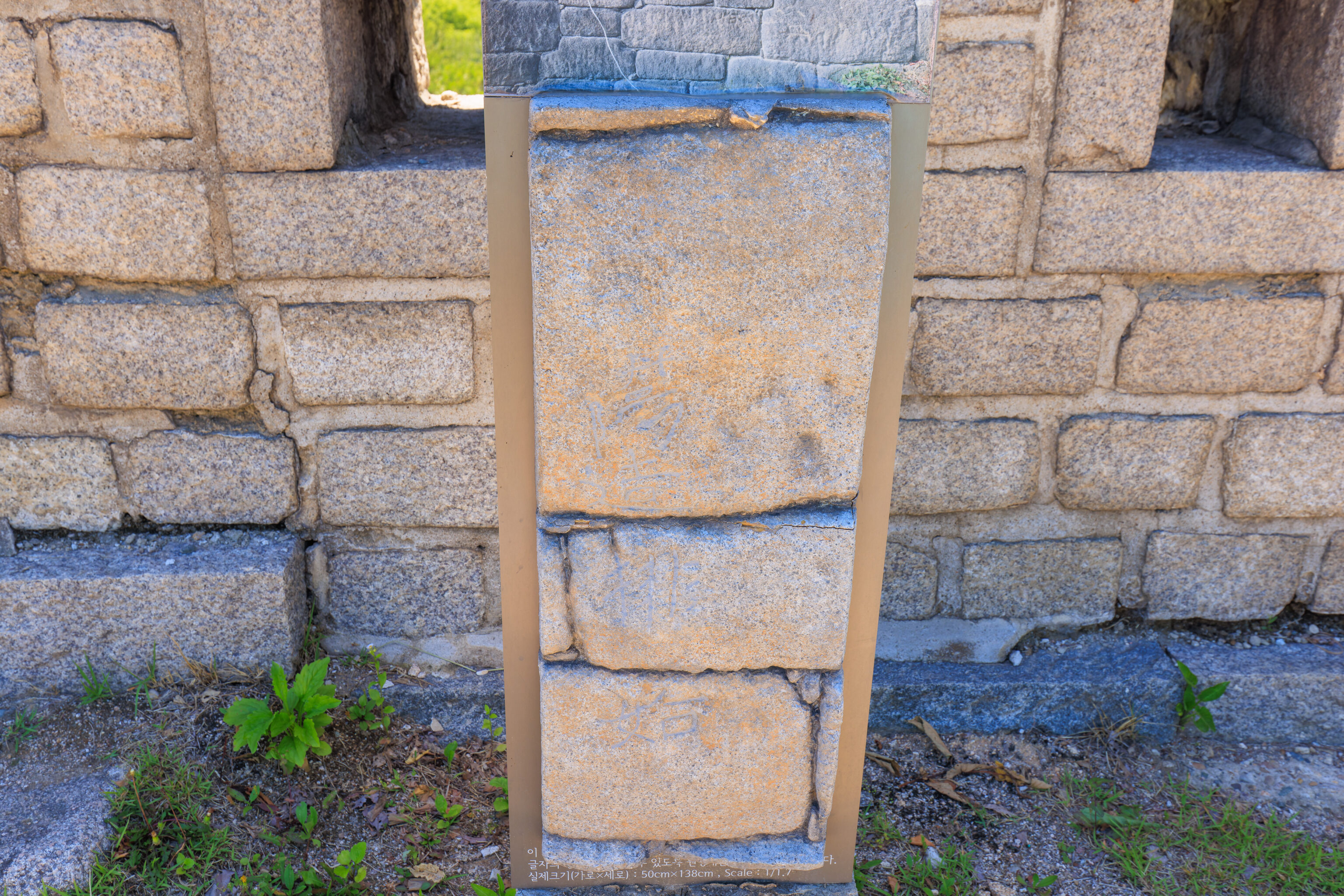
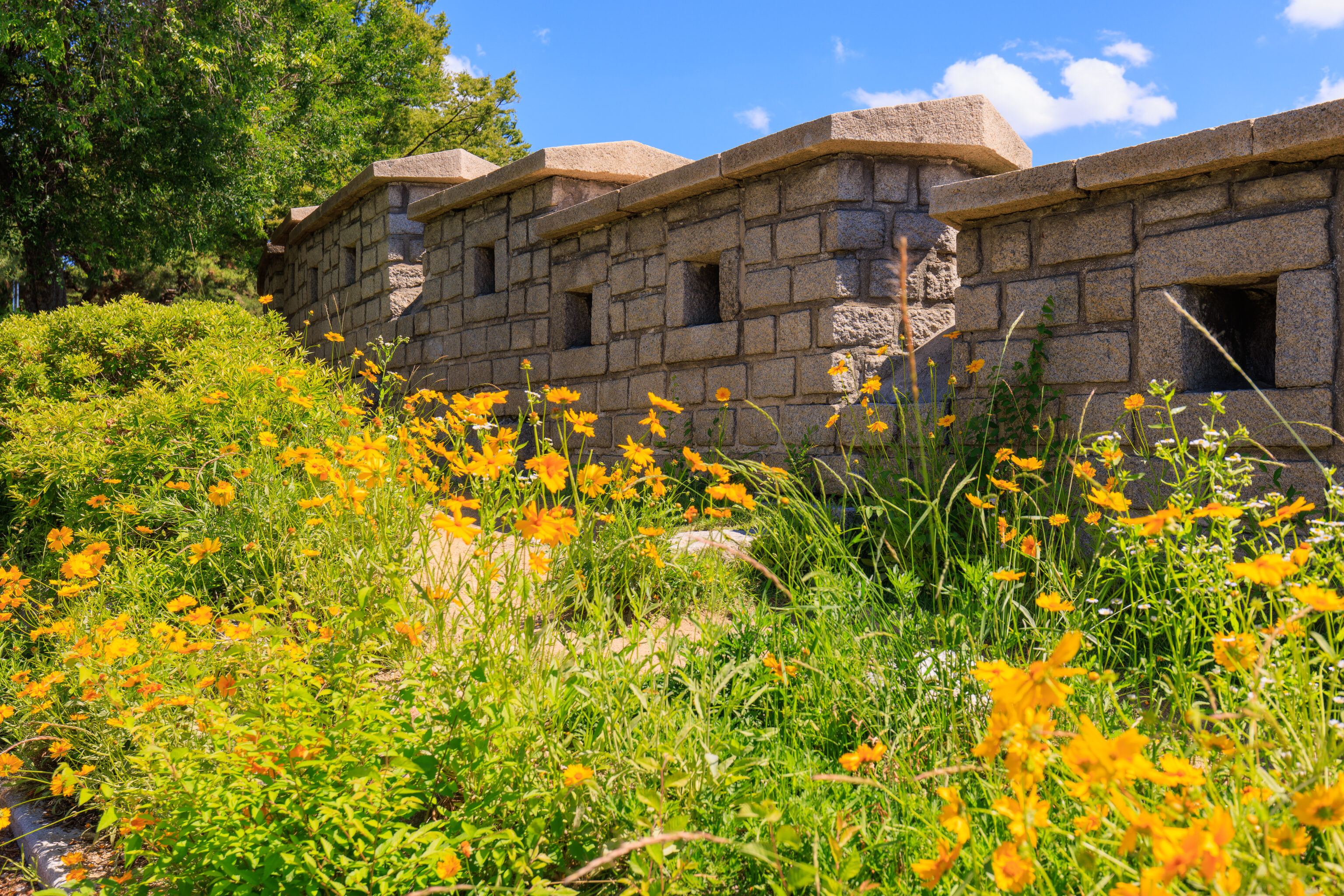
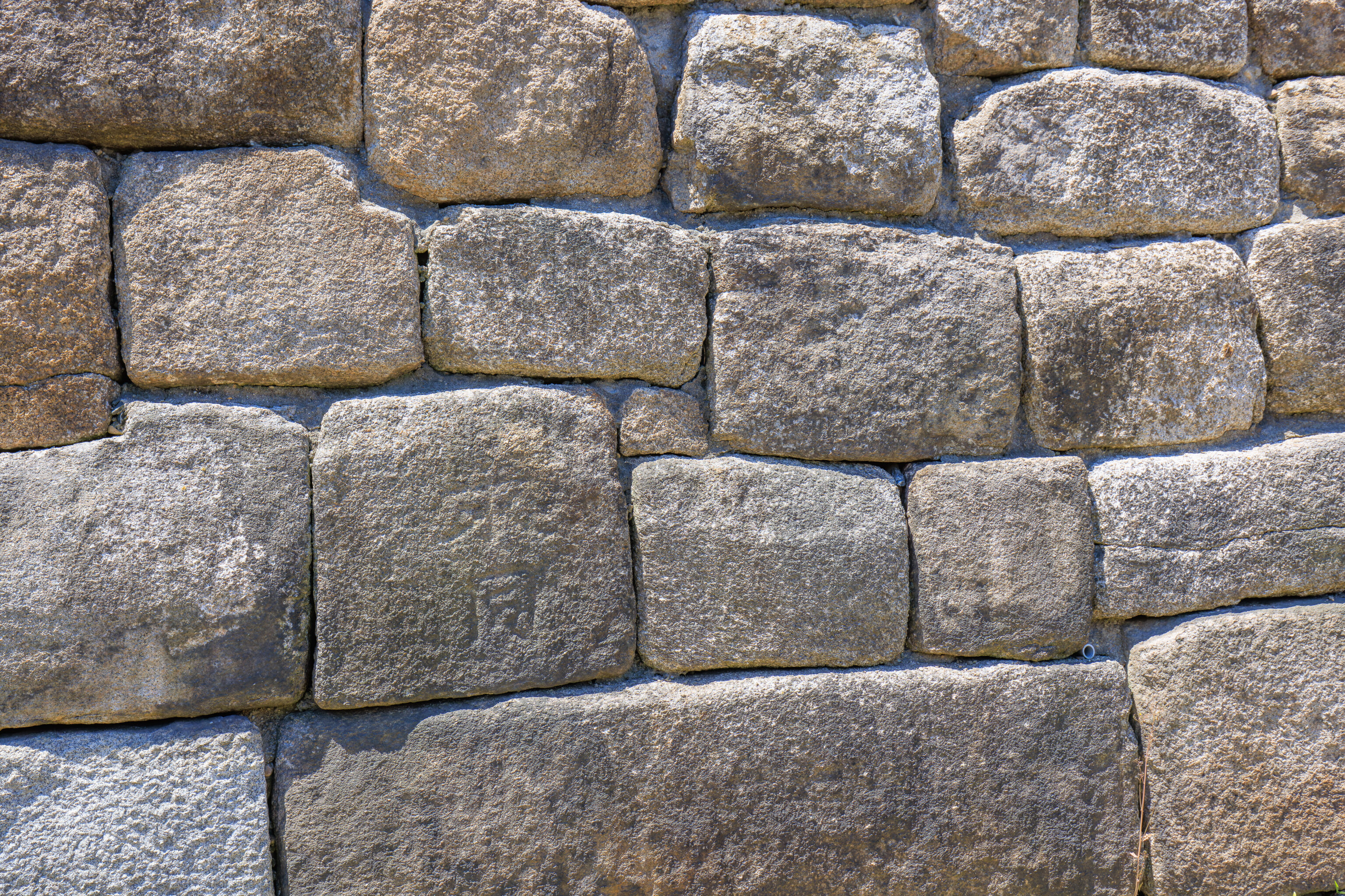
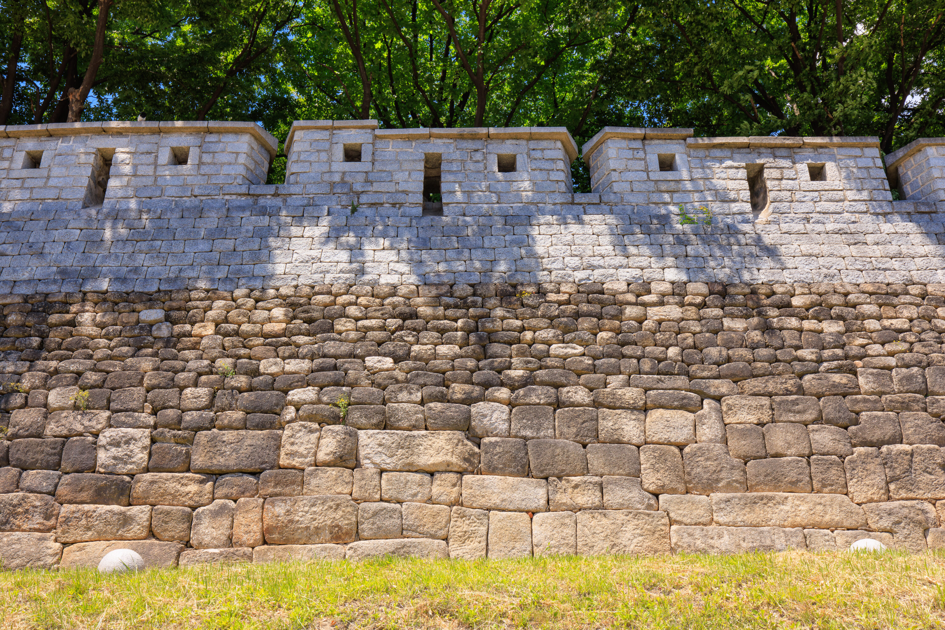
We came across a small cut out section of wall. These stones are inscribed with the names of the provinces responsible for maintaining the section of wall. A nearby sign explains:
Inscribed Stones in the Fortress Wall of Hanyang (currently Seoul)

Inscribed Stones stand for pieces of stones engraved with records related to fortification. The Inscribed Stones in this section of the Fortress Wall are stone pieces engraved with the starting point of fortification of the section by the people of Danyang-hyeon of Chungcheong-do (currently, Danyang-gun, Chungcheongbuk-do). During the reign of King Sejong, the names of the provinces were engraved on the stones: when a section of the fortress wall collapsed, people of the province of the section were forced to come to Hanyang and build the section again, The Inscribed Stones remaining in the Fortress Wall of Hanyang are classified into those engraved with fortification sections in primers of Chinese characters (14th century), names of localities where the sections were built (15th century), and local officials and masons for the sections (18th century and thereafter). Some 290 pieces of Inscribed Stones of various periods and types remain in the fortress wall of Hanyang.
Basically, a form of taxation.
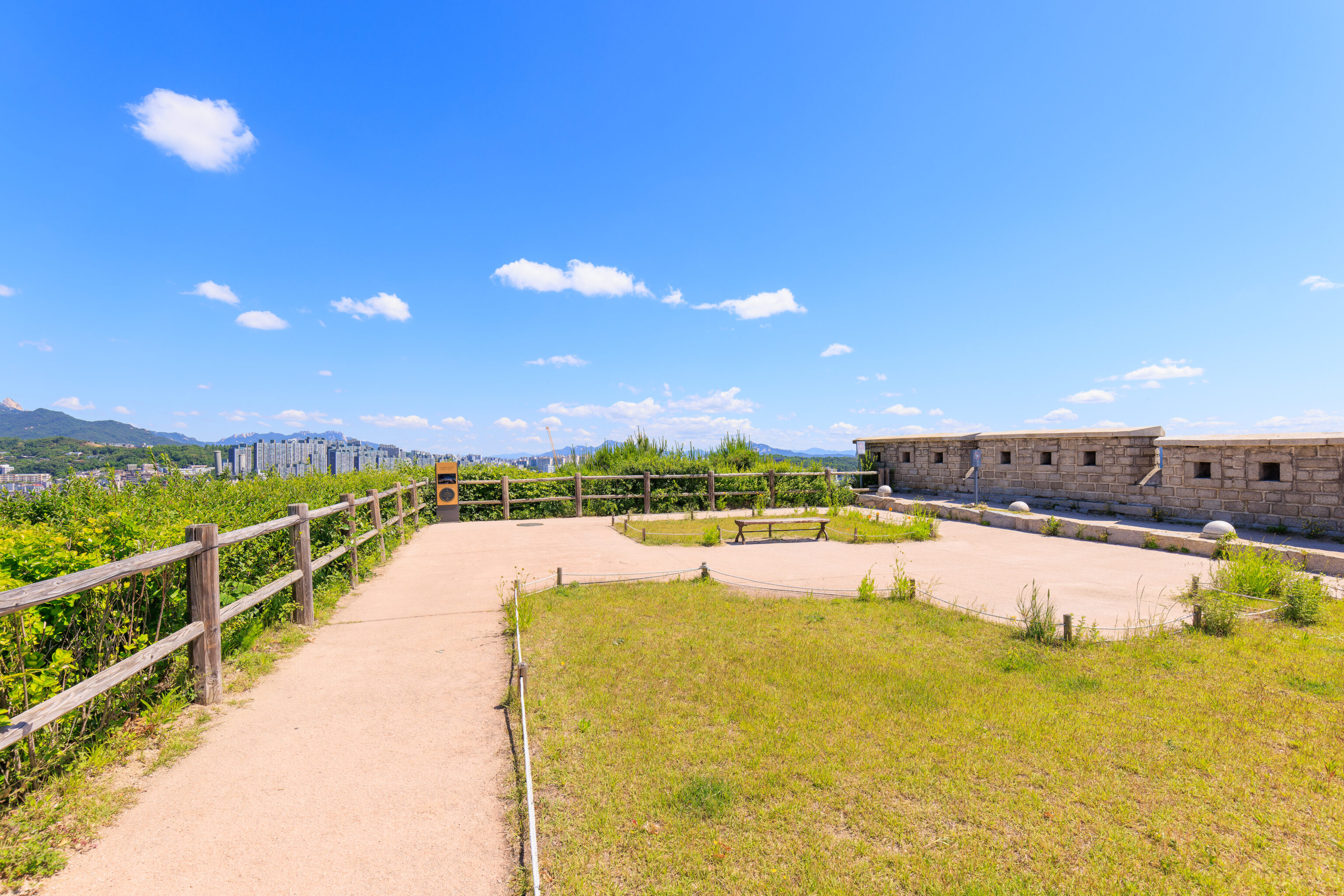
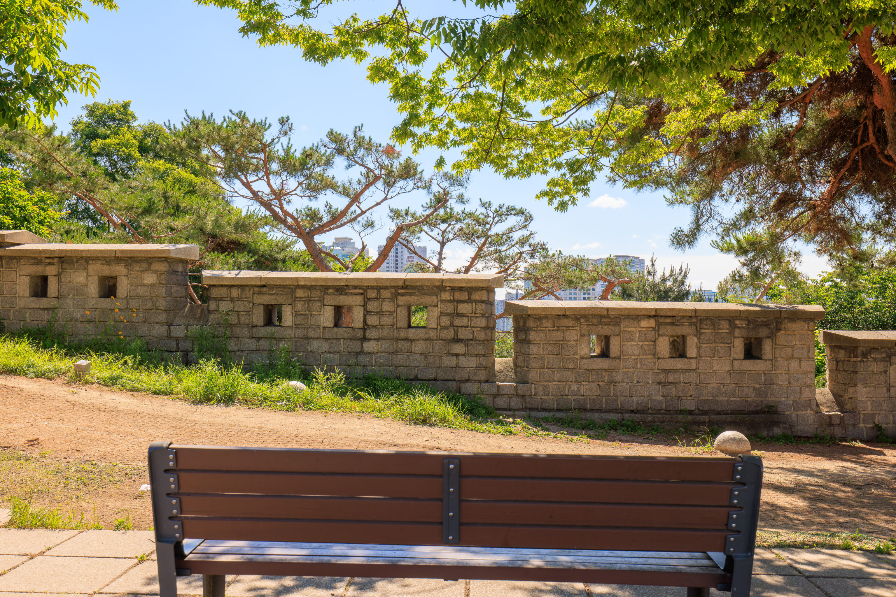
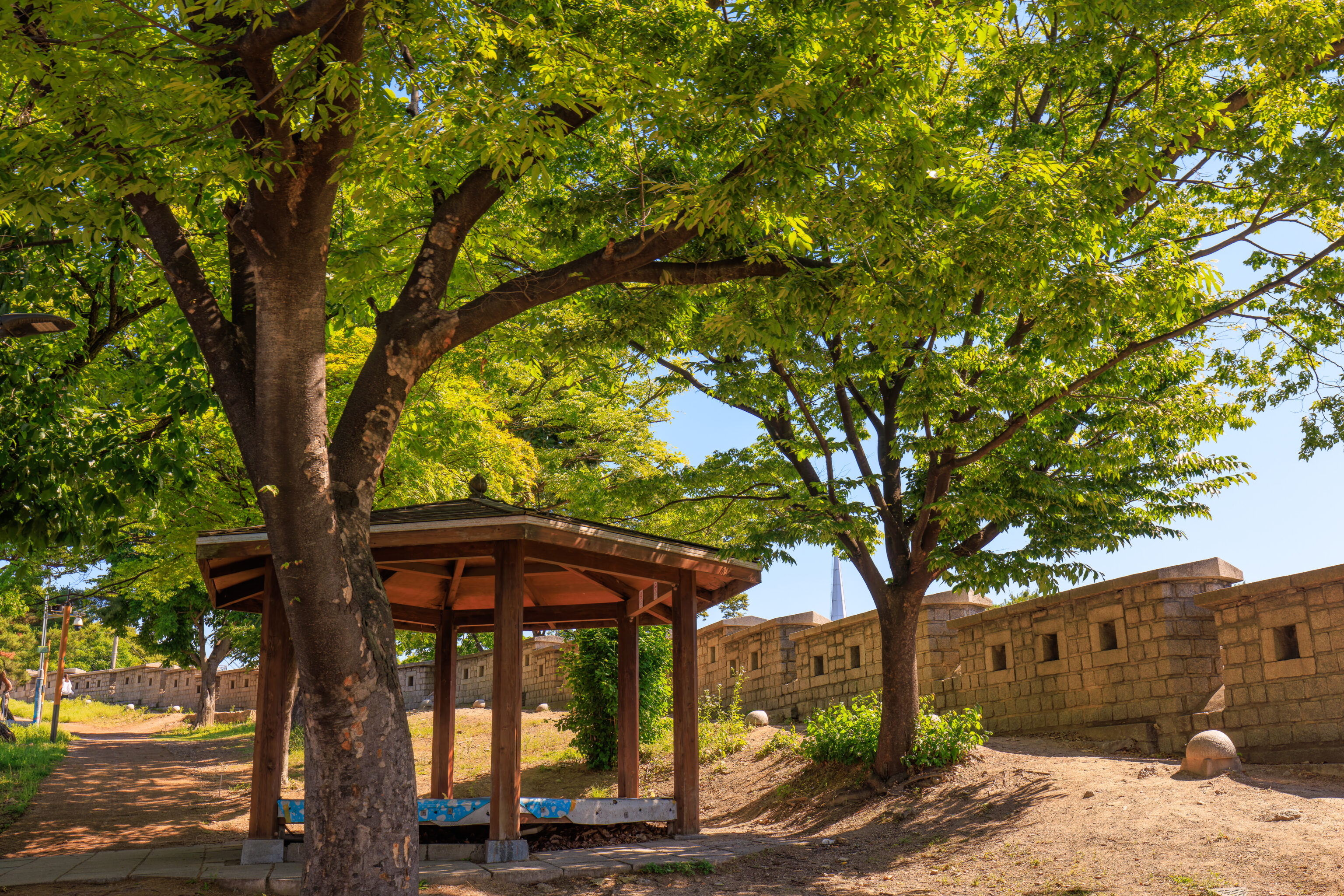
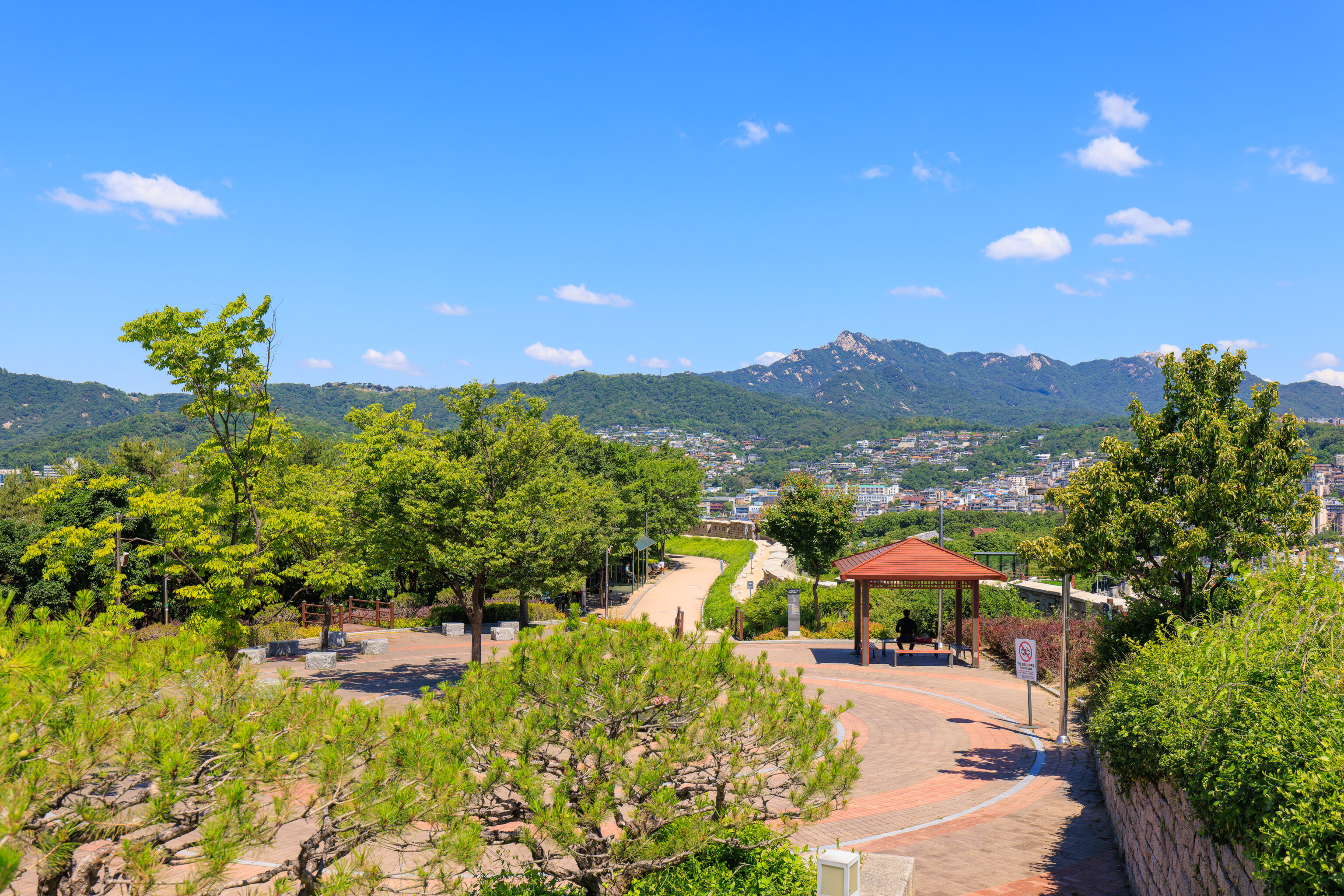
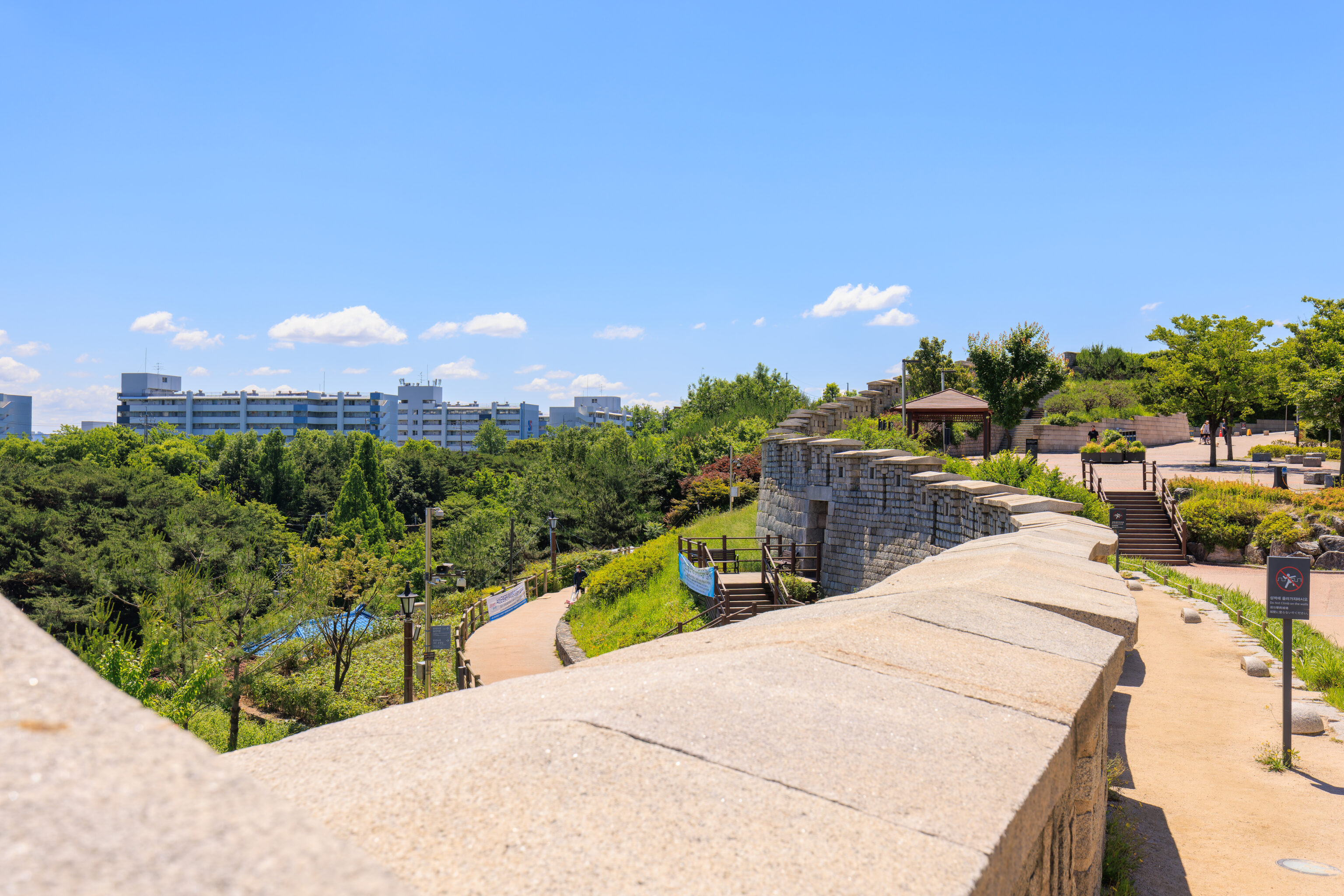
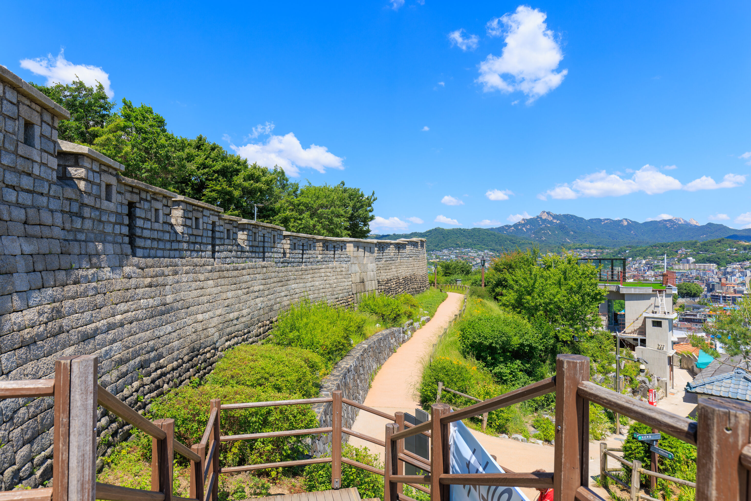
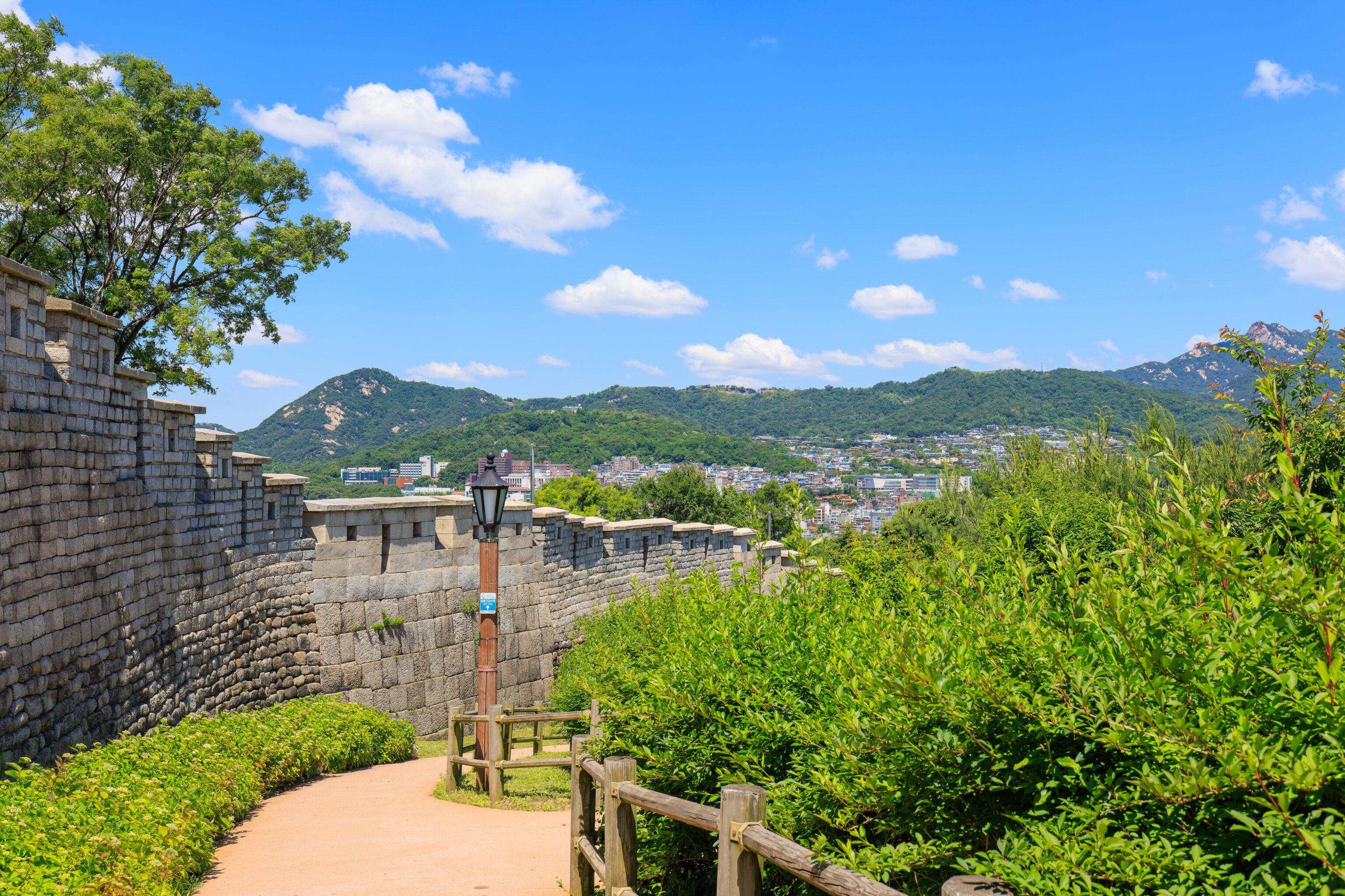
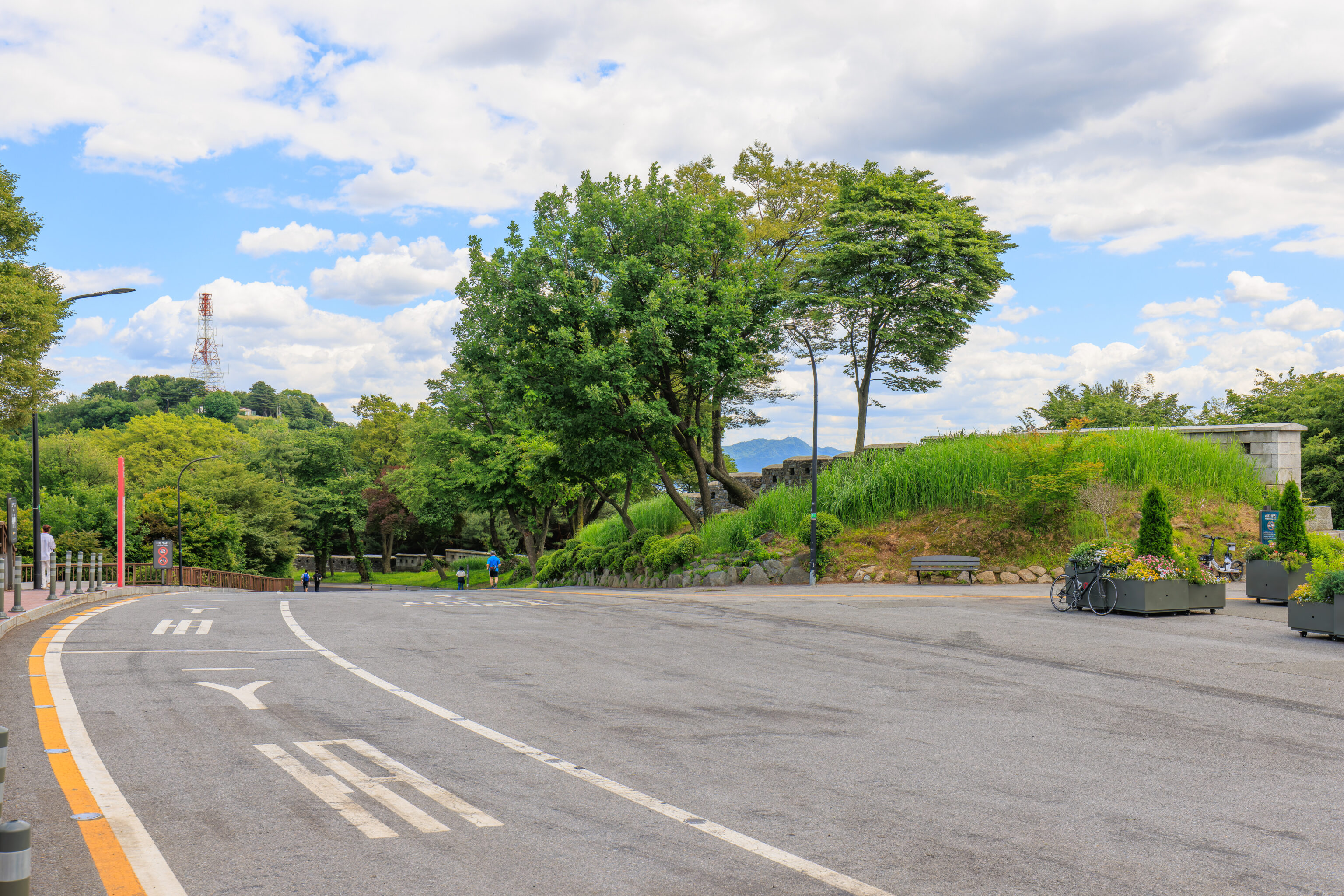
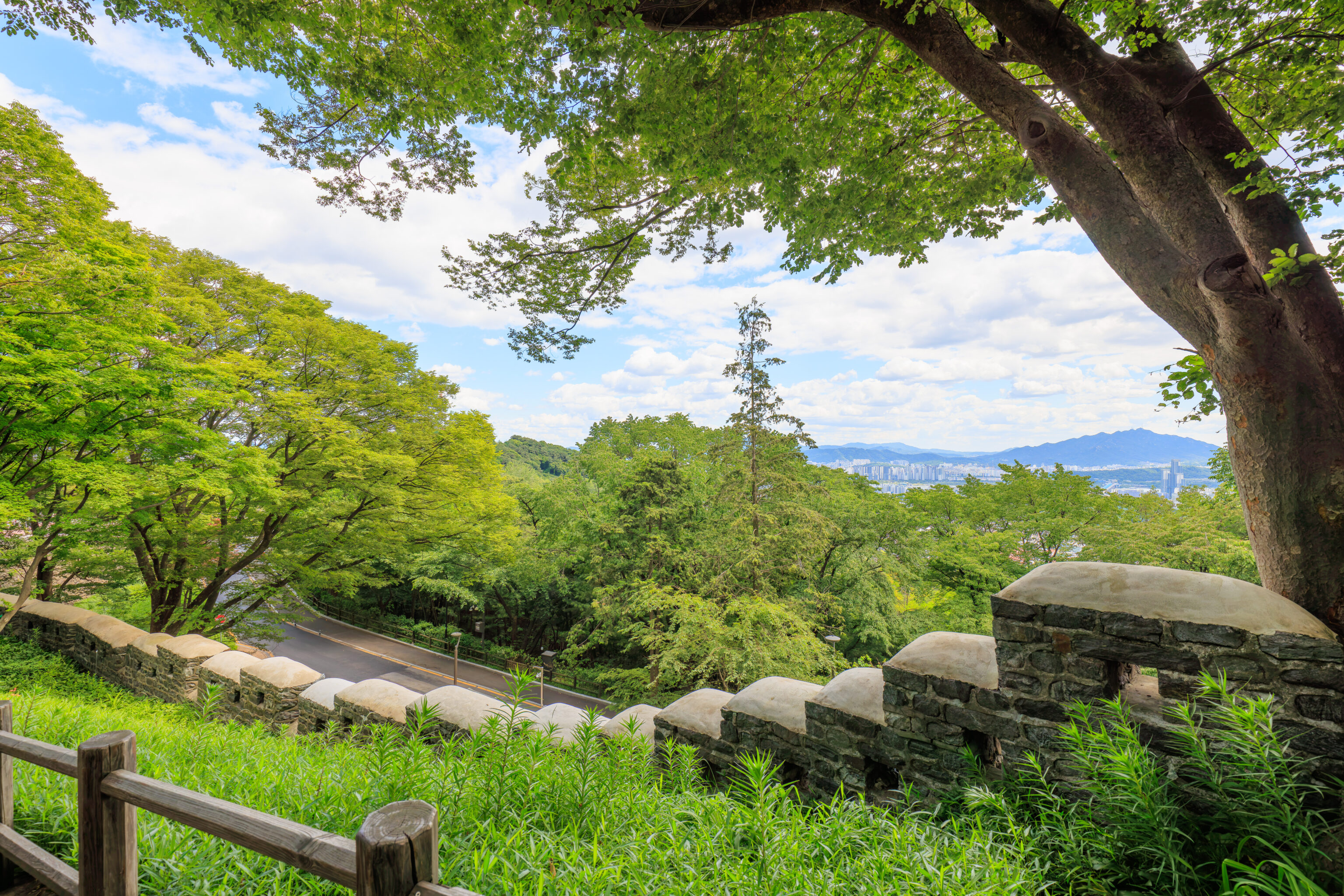
We finally reached the top of Naksan! This portion of the city wall is divided by a road into northern and southern halves. There is a small plaza at the southern section. This plaza is the summit of Naksan.
Looking to the north, we could see the wall continue on the other side of the road.
The same view from a slightly different perspective from the western corner of the summit plaza.
We walked down from the summit plaza to cross the road to continue walking the northern section of the wall. It is possible to simply stop here and take a bus back.
There was, once again, a beautiful view to the west.
There is a path that goes south a bit near the southern edge of the wall, though, it isn’t possible to go all the way to the edge of the wall without leaving the path. It also isn’t sufficiently high to have a view to see anything.
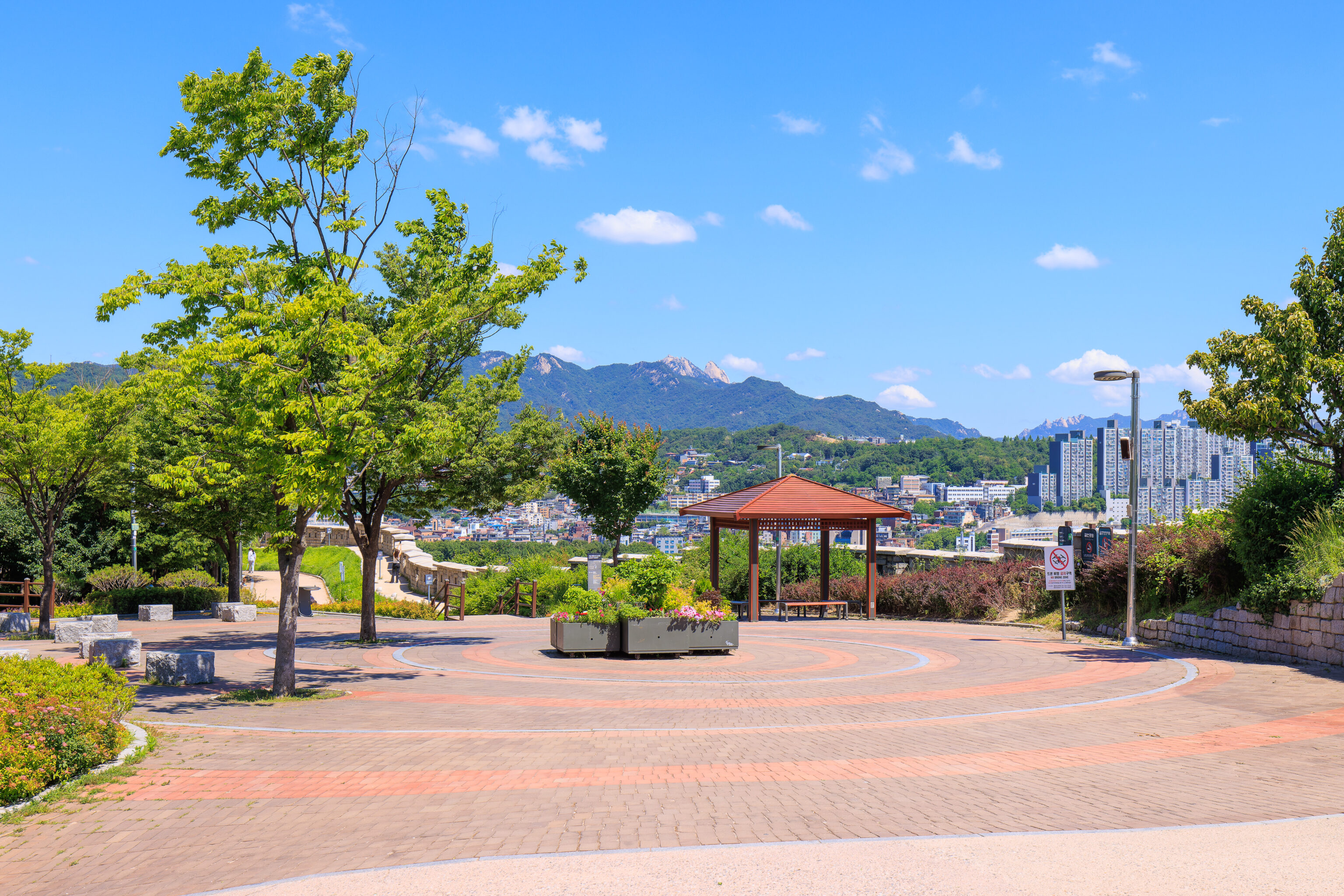
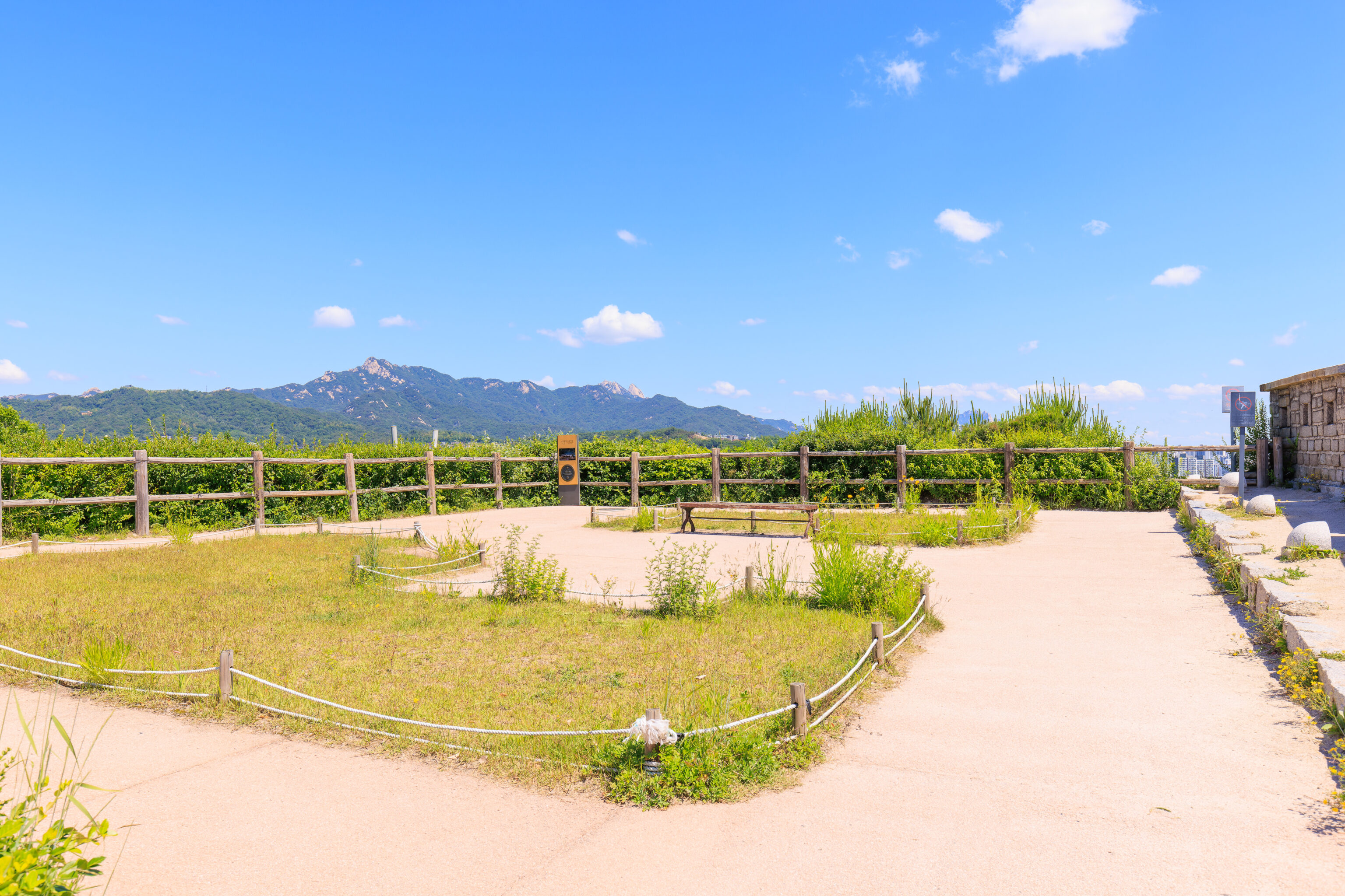
After going to the end of the short path, we turned around to continue walking along the wall to the north. There is an open plaza here, though it is not elevated like the one to the south at the summit.
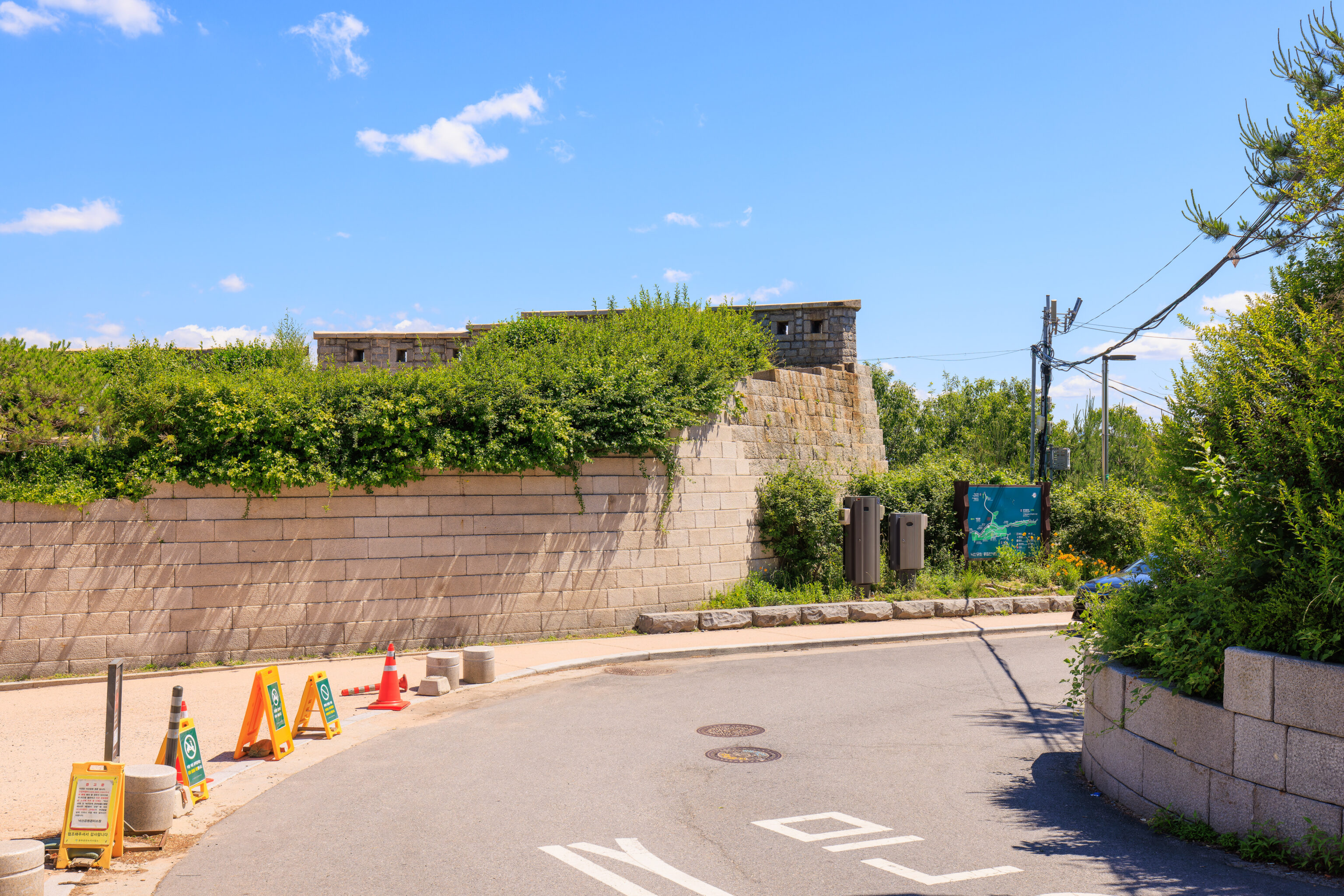
At the edge of the plaza, we noticed a path that goes through a small gate in the wall. The sign mentions that this is the way to go as the path does not continue.
We decided to keep going for a bit though. Looking back, we could see the small gate and stairs leading down from it to a pedestrian path below the eastern side of the wall.
Up ahead, we could see quite a bit of greenery below us. The wall did seem to end here, though it just starts descending steeply.
This viewpoint was as far as we went before turning around to go through the gate.
The path does seem to continue steeply downhill. Looking on Google Maps and Open Street Maps, it seems the path continues down to another viewpoint. From there, it might be possible to keep going but requires detouring through a residential area for a bit before returning to the wall.
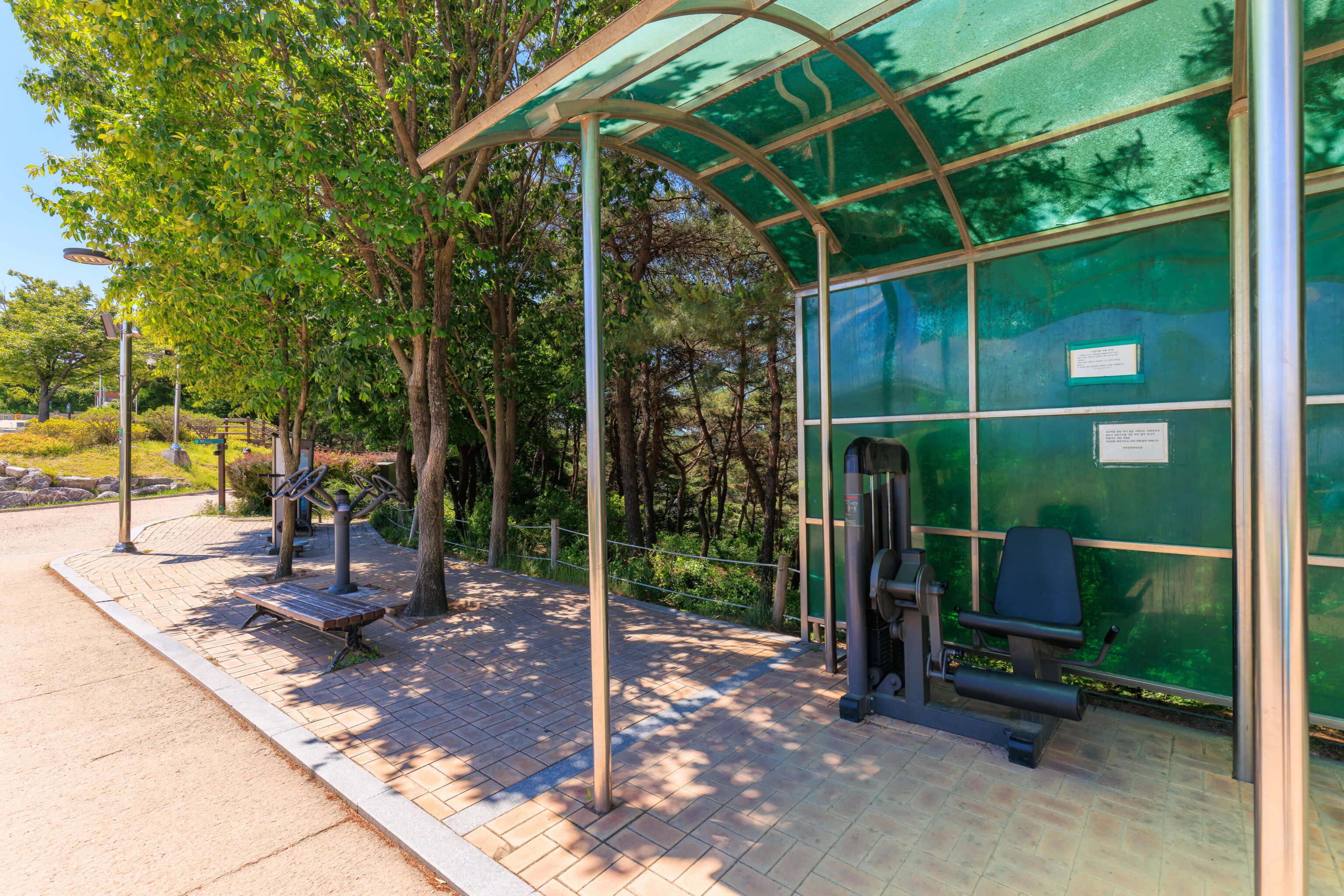
On our way back, we noticed this exercise area. While we’ve seen various outdoor exercise areas around the world, we don’t recall seeing one with actual gym weight machines!
We walked through the gate and down the stairs on the other side. While previously, we had been walking at the top of the wall, it seems now we would be walking at the base of the wall on the outside.

Looking back to the south as we walked down the stairs, we could see plenty of grass on the hillside below the wall.
The path here has ups and downs, but mostly it descends.
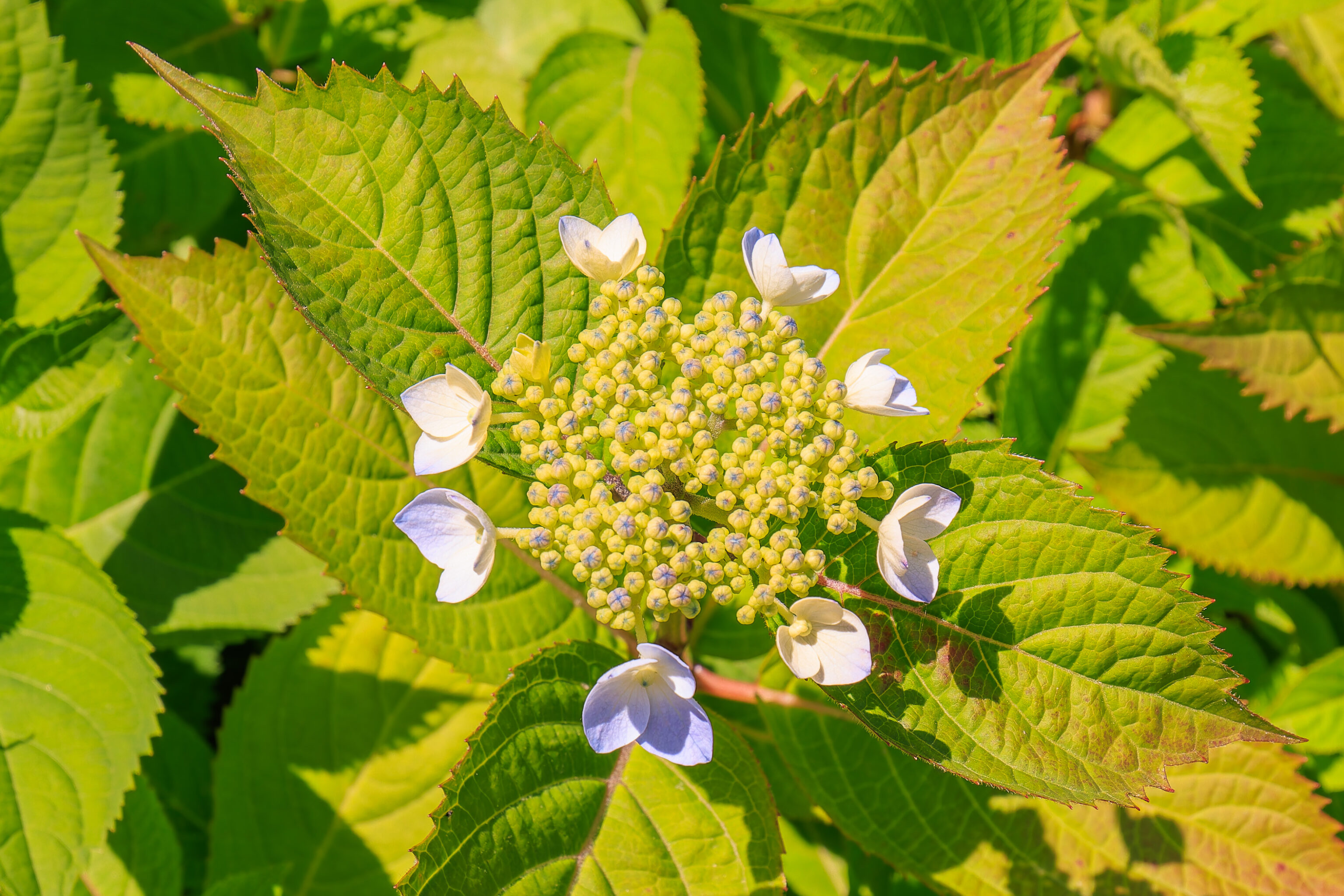
There various plants by the wall, including hydrangeas like this one.
We came across a side path which seemed to descend somewhere. We kept going though.
Soon, the path and the wall started to descend steeply. This seems to roughly be the location of the viewpoint on the other side of the wall that we did not continue on to.
The path descended steeply until reaching a road.
We reached another wall section with inscriptions. There was once again a sign. The text was similar to the one we saw earlier but identifies this section as being maintained by a different municipality:
Interpretation: This inscribed stone marks the starting point of a construction section undertaken by the people from Yeongdong-hyeon, Chungcheong-do (now Yeongdong-gun, Chungcheong- buk-do). During the reign of King Sejong, the government made it a rule to cut in stone the name of a region that built the wall and obliged the region to rebuild if it collapses. An inscribed stone refers to stone blocks where records related to construction are carved in stone. The types of inscribed stone remaining in Hanyangdoseong, the Seoul City Wall, include a stone marking the wall section with letters from the Thousand Character Classic (14C); a stone on which regions that took charge of construction are carved (15C); and a stone where the names of officials who were in charge of construction and stonemasons are inscribed (18C and later). In Hanyangdoseong, there are more than 280 such inscribed stones of various dates and types.
This northern half isn’t as interesting as the southern half as there isn’t much to see other than the wall itself.
There seems to be an inscription on one of the lower stones here.
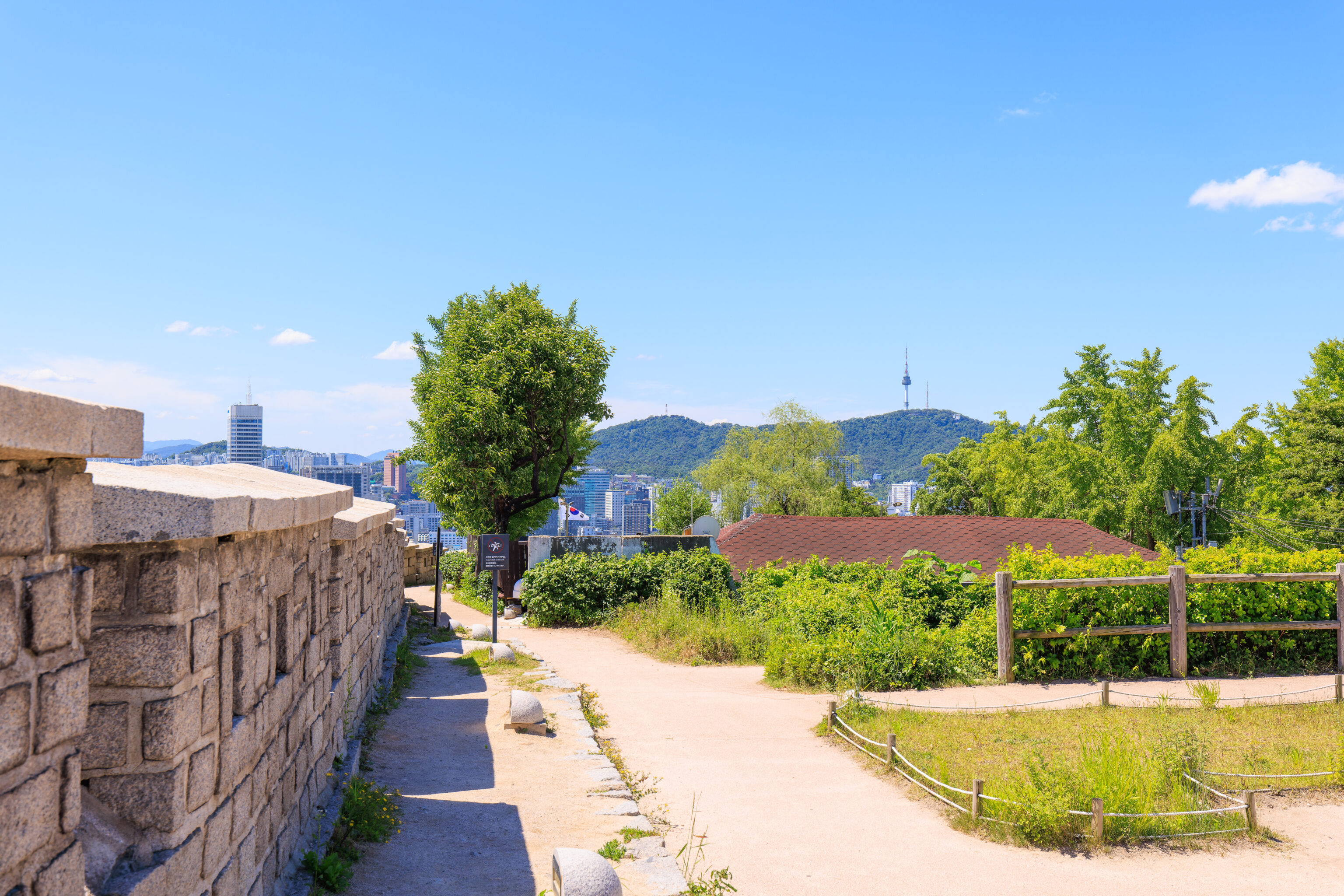
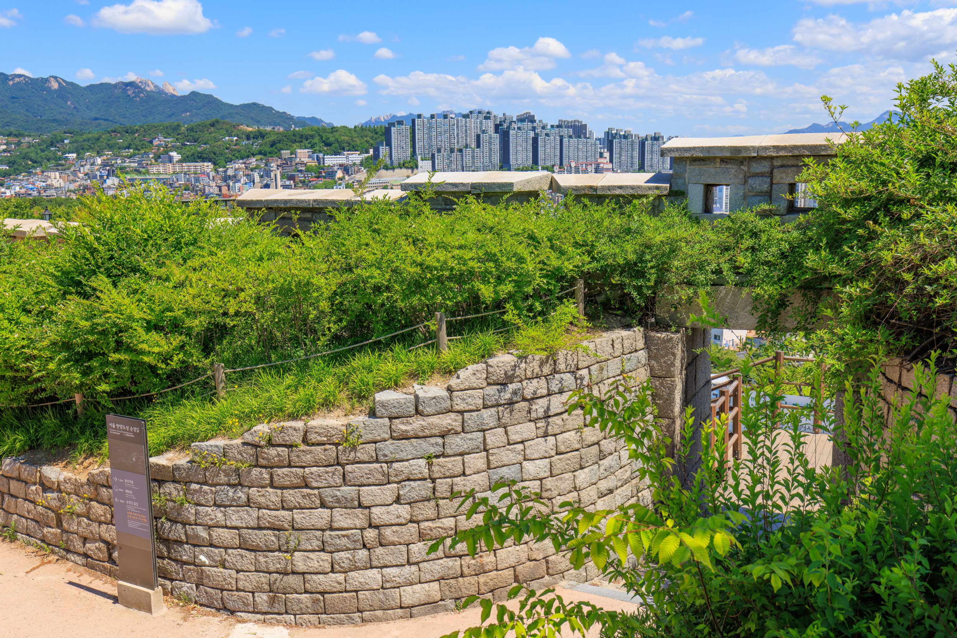
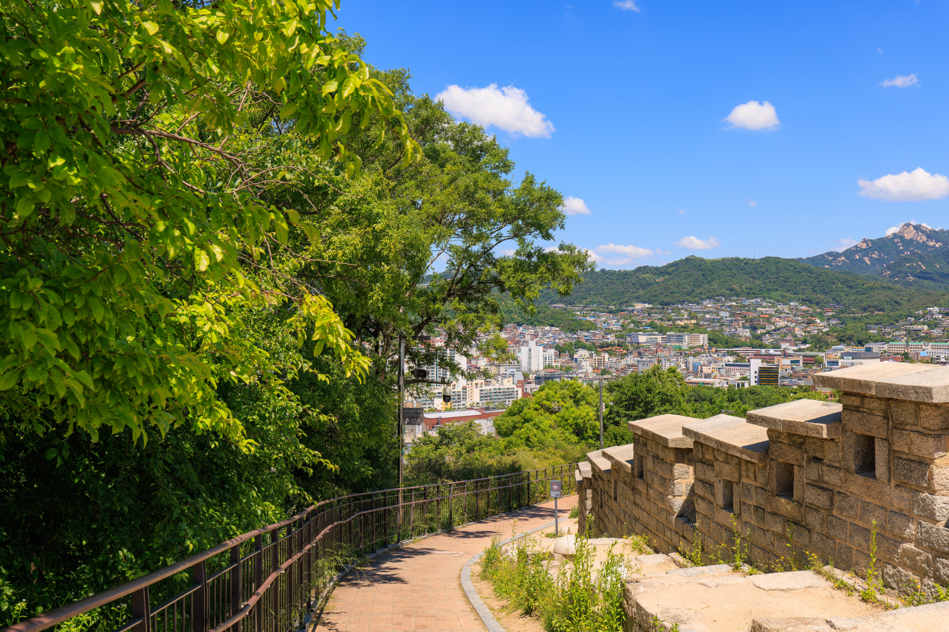
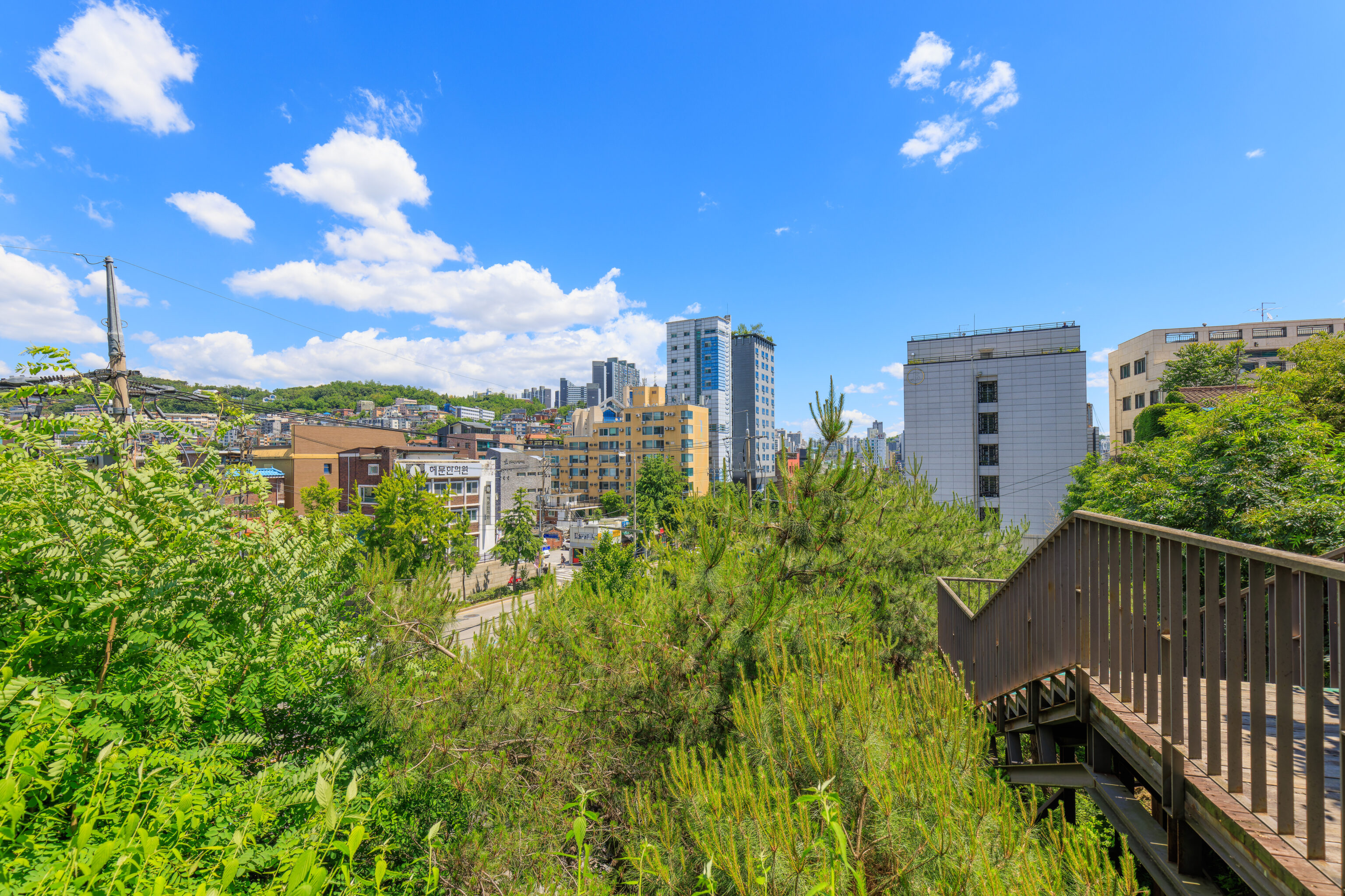
As we continued north, we could see a denser part of the city in front of us. It seems to be where we are headed, 혜화문 Hyehwamun, by the 한성대 Hansung University subway station.
By now, it was around 11:30am. We didn’t see very many people throughout our walk. A few dozen at most.
There was a sign that briefly mentioned wall maintenance:
As time passes, weathering progresses on Hanyangdoseong, the Seoul City Wall, which weakens the stone blocks. Conservation treatment on weathered stones was conducted including surface consolidation, filling of missing blocks and installation of metal supports. Your cooperation and care for conservation of our valuable cultural heritage will be appreciated.
Soon, we could see the Hyehwamun ahead!
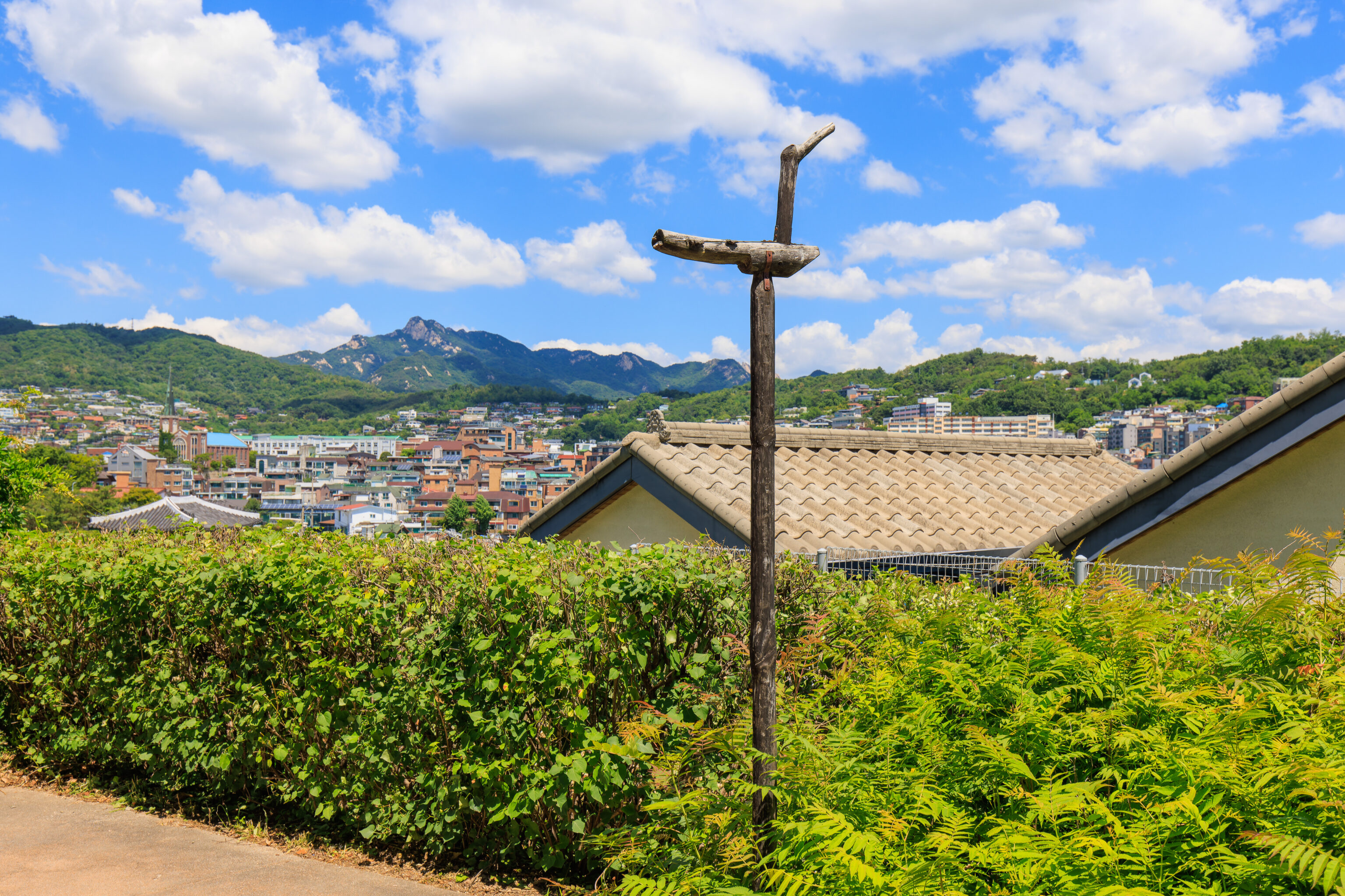
We noticed this wooden bird on a pole next to the path. We noticed one of these before in the Korean Bell Garden at the Meadowlark Botanical Gardens in Northern Virginia. These are apparently 솟대 Sotdae, dating back to the beginning of agricultural times.
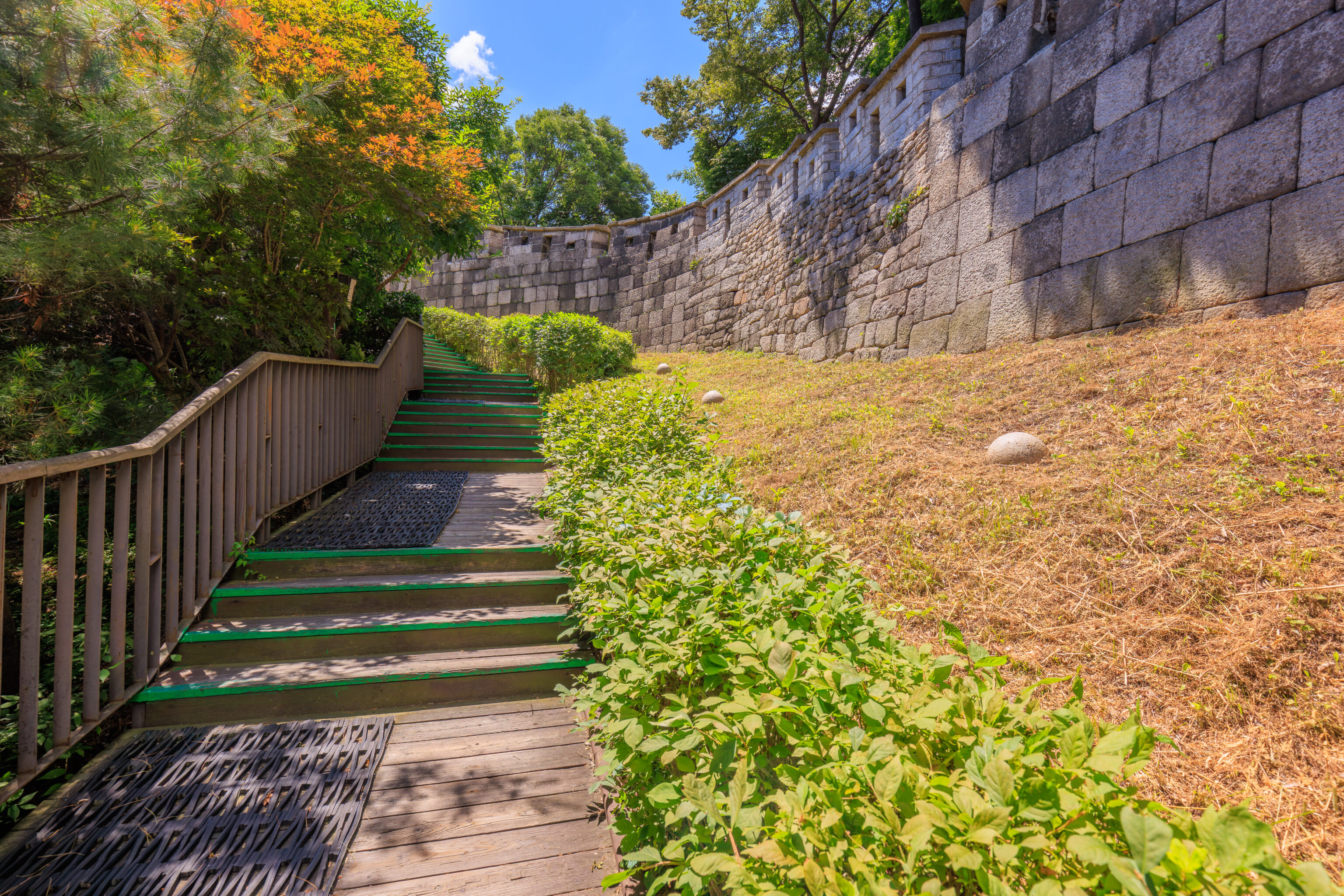
The final northernmost section of the path included something we hadn’t seen yet here – rubber matting on a wooden walkway.
At the very northern end of a wall, stairs lead down to a road below.
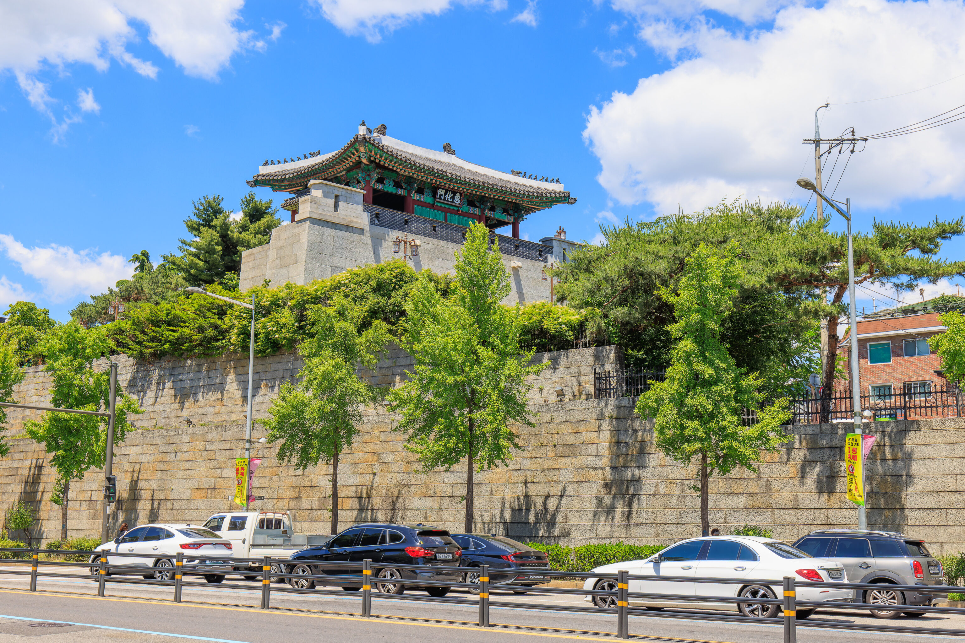
The Hyehwamun is on the far side of the road. The city wall no longer continues here, though it does resume a half mile away to the west. That section of wall seems to extend quite far, going all the way to the western edge of central Seoul.
Lunch
We took a bit to decide where to go for lunch. We considered eating here but decided to go to Myeongdong instead. The Myeongdong subway station is on line 4 (blue), the same line as the Hansung University station here.
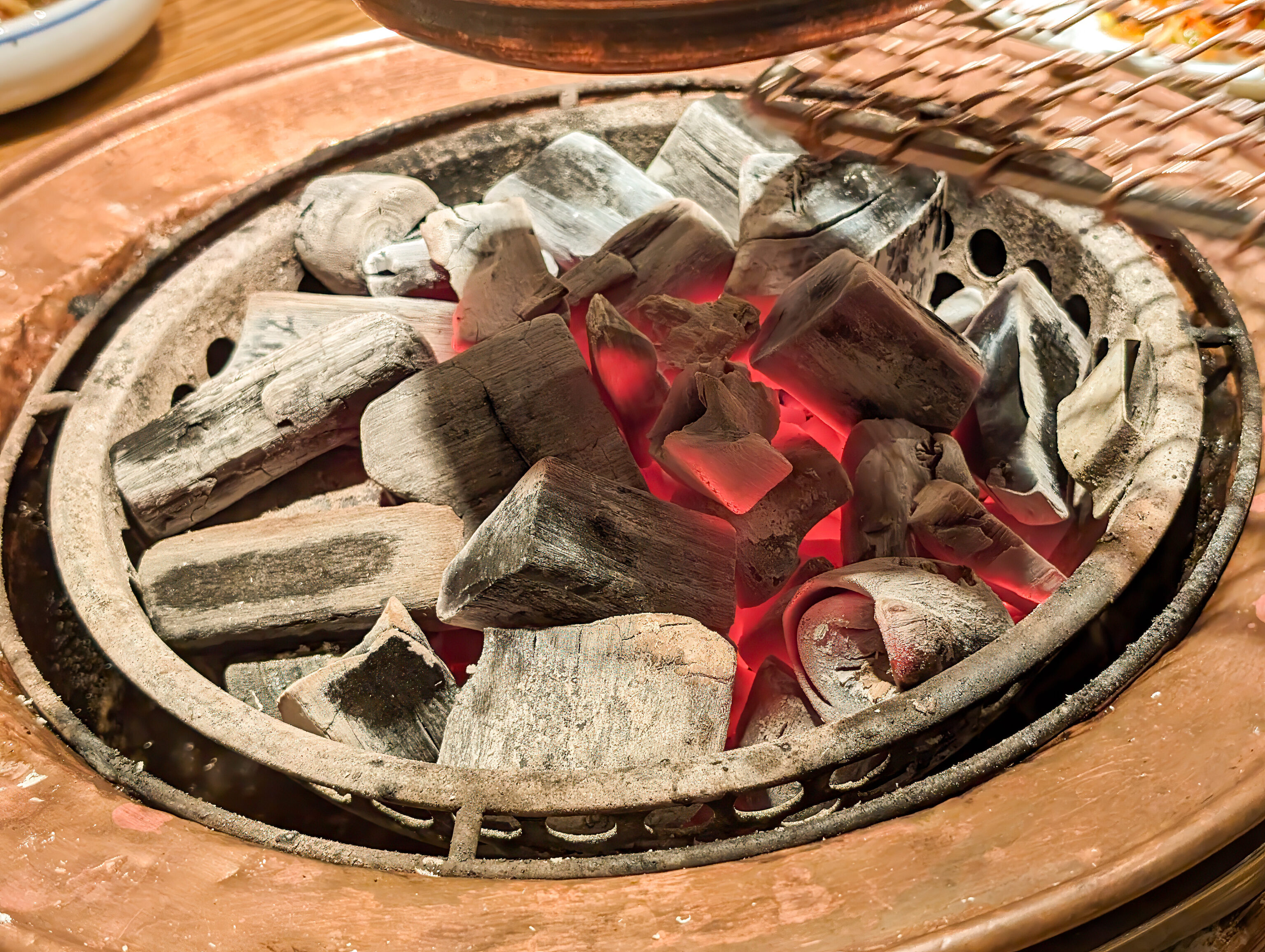
We decided to have Korean BBQ at 왕비집 Wangbijip. They had charcoal grills, luckily still a common feature in Seoul. In the US, charcoal grills in restaurants don’t seem to exist anymore.
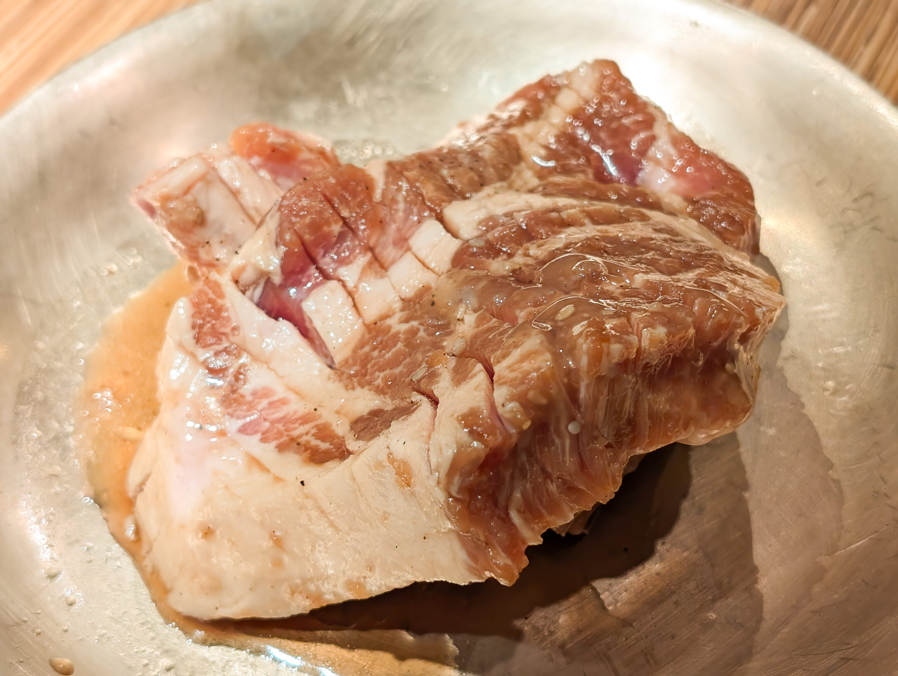
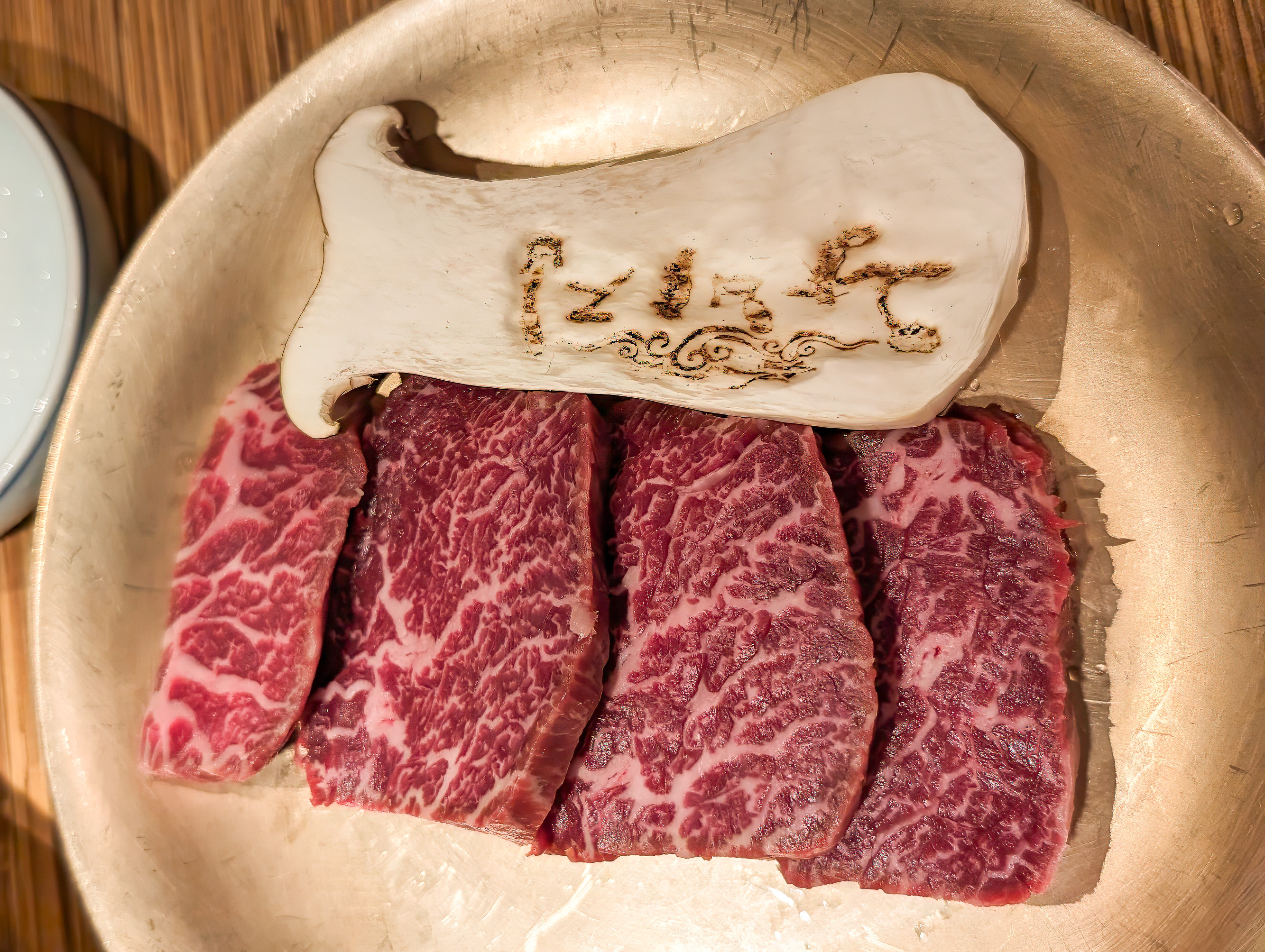
We ordered beef and pork galbi.
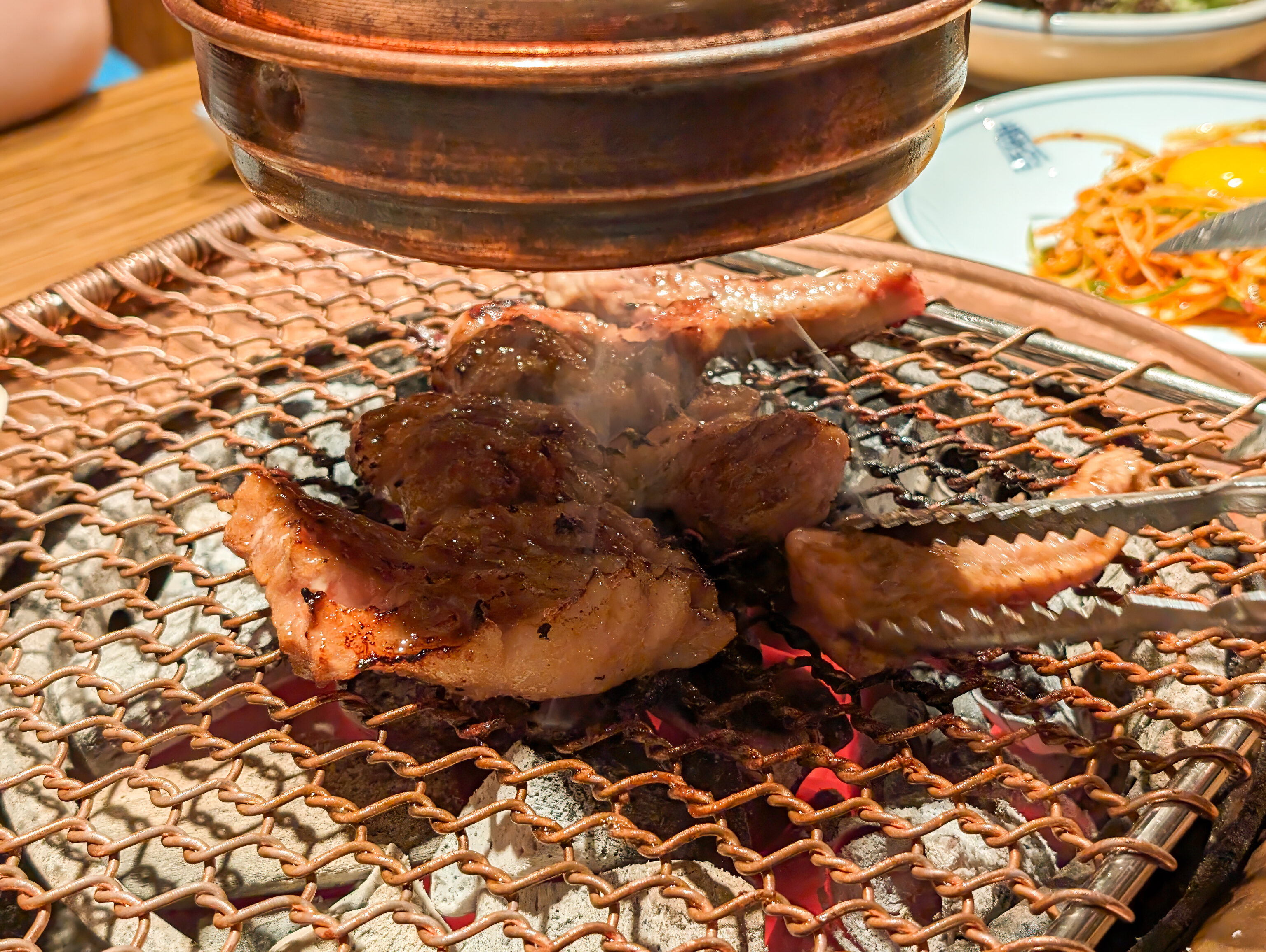
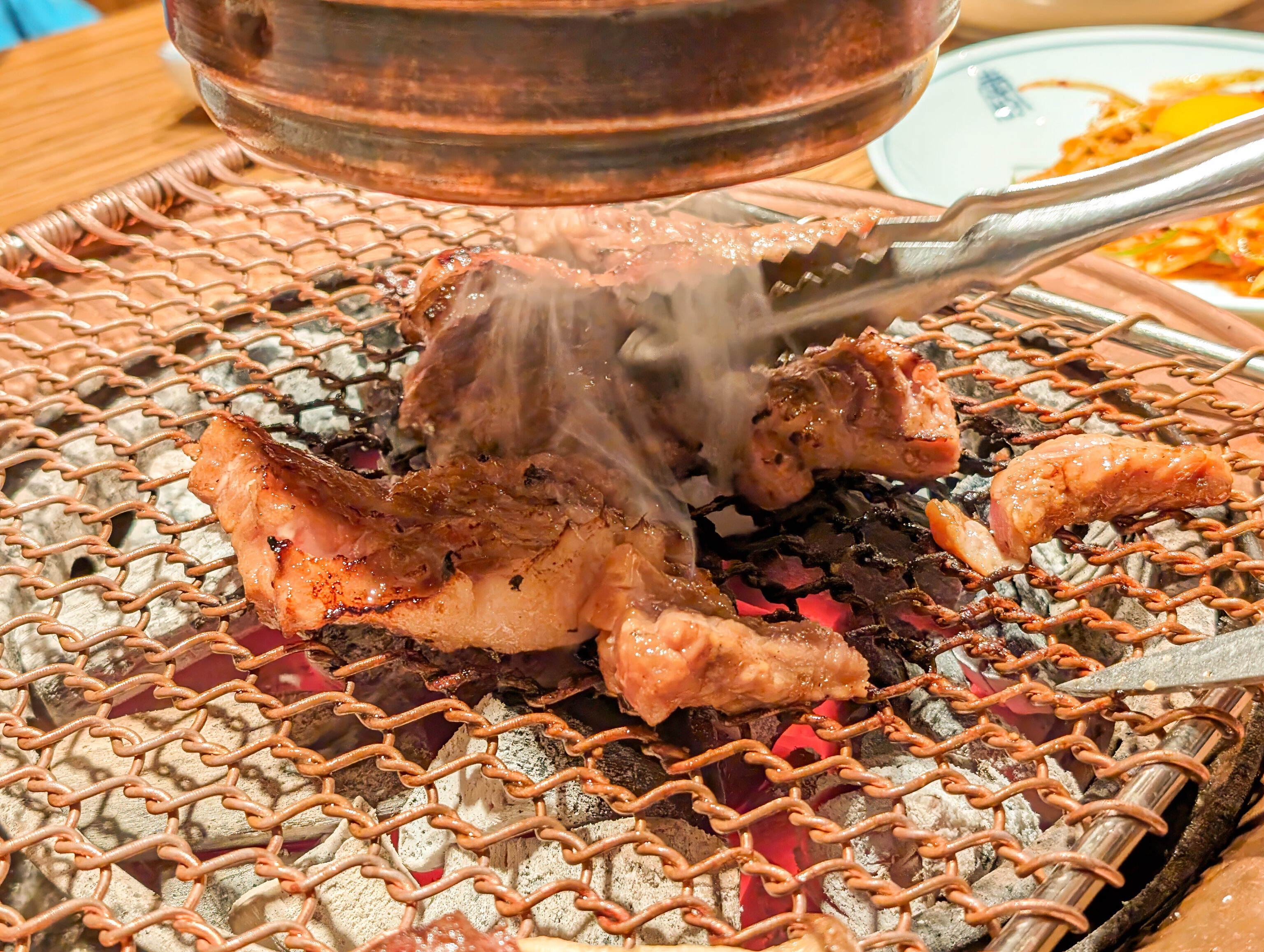
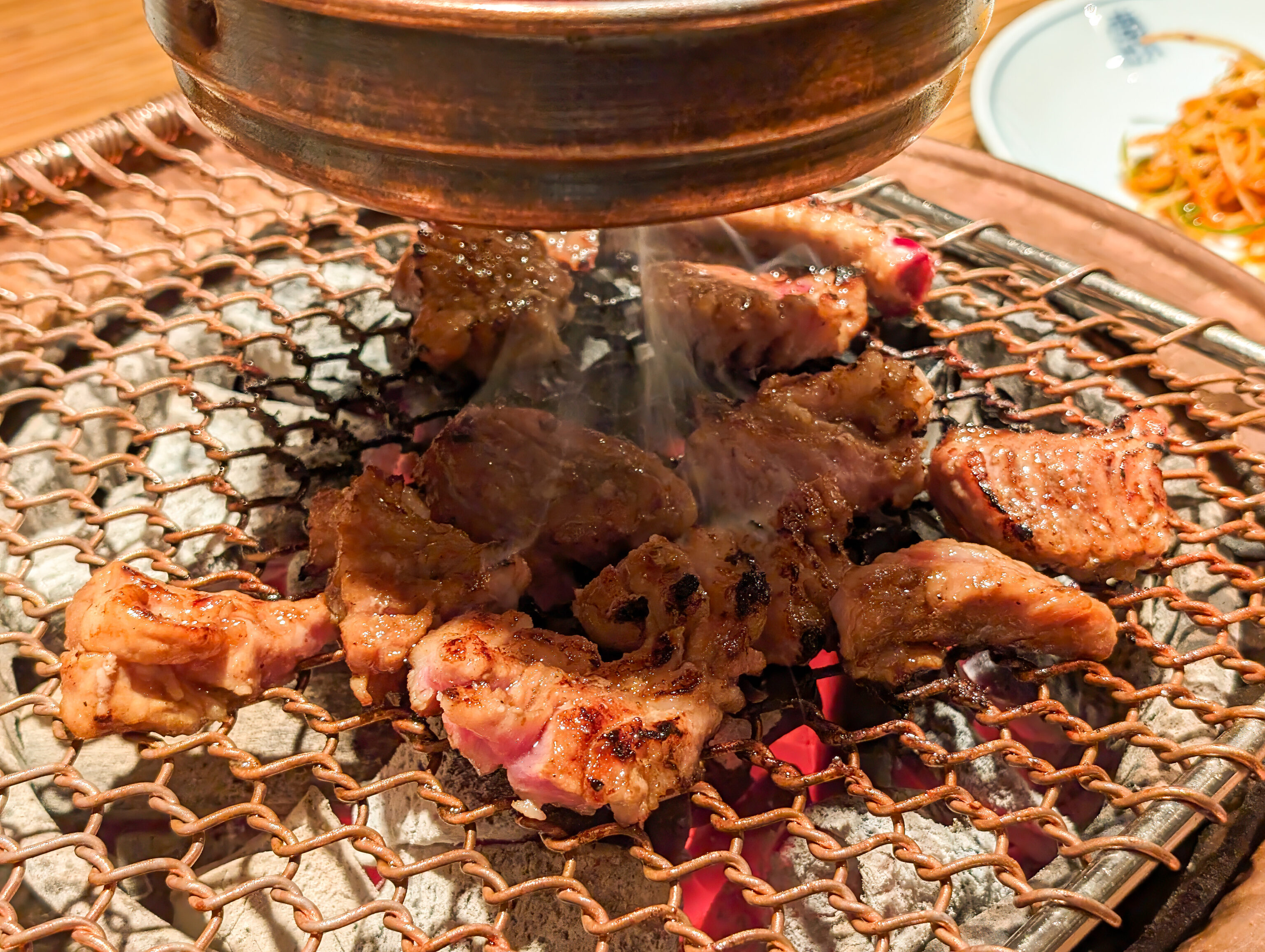
Both were very good, overall much better than what we had two days ago near Gyeongbokgung.
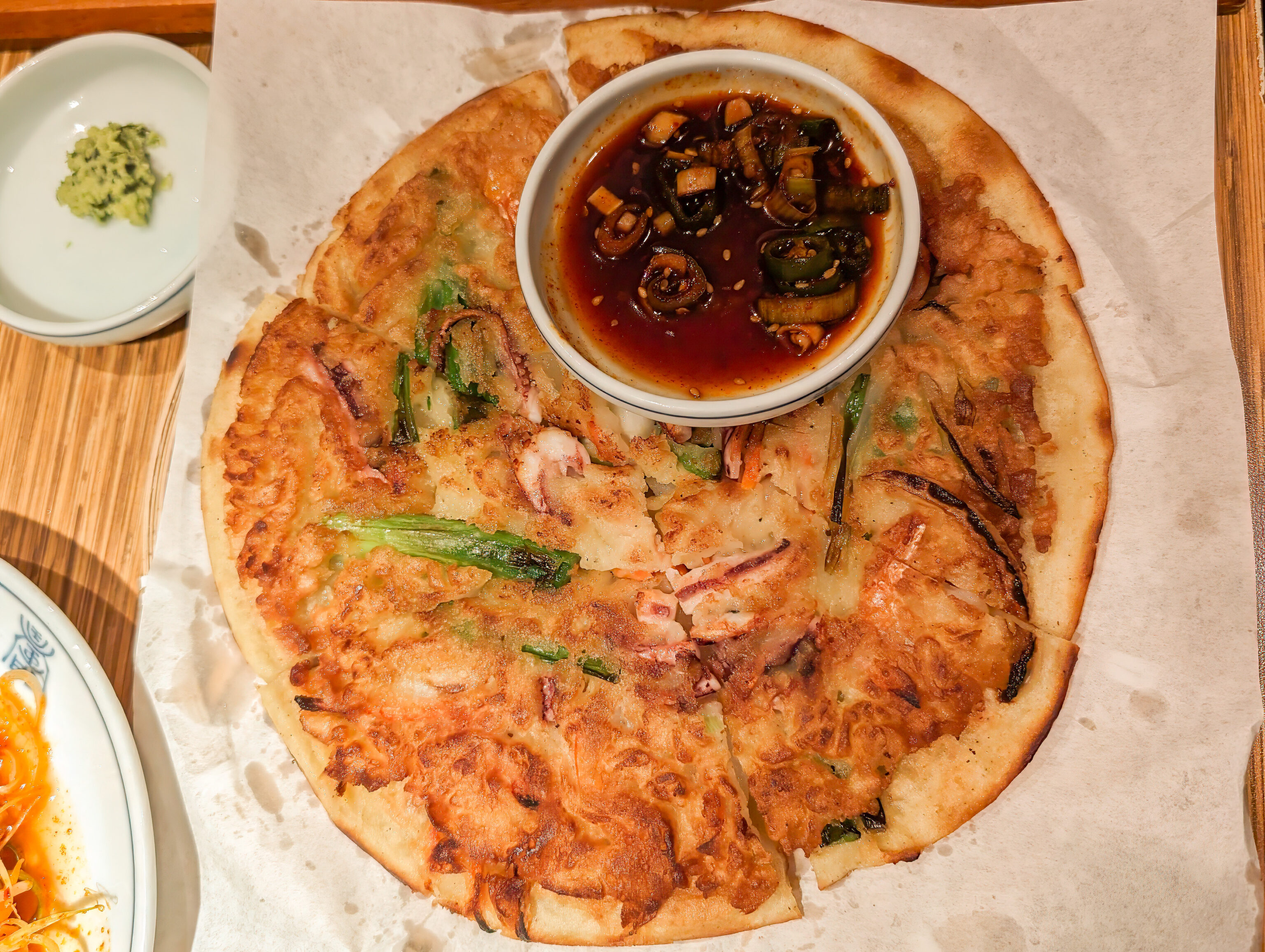
We also ordered a seafood pancake.
Namsan
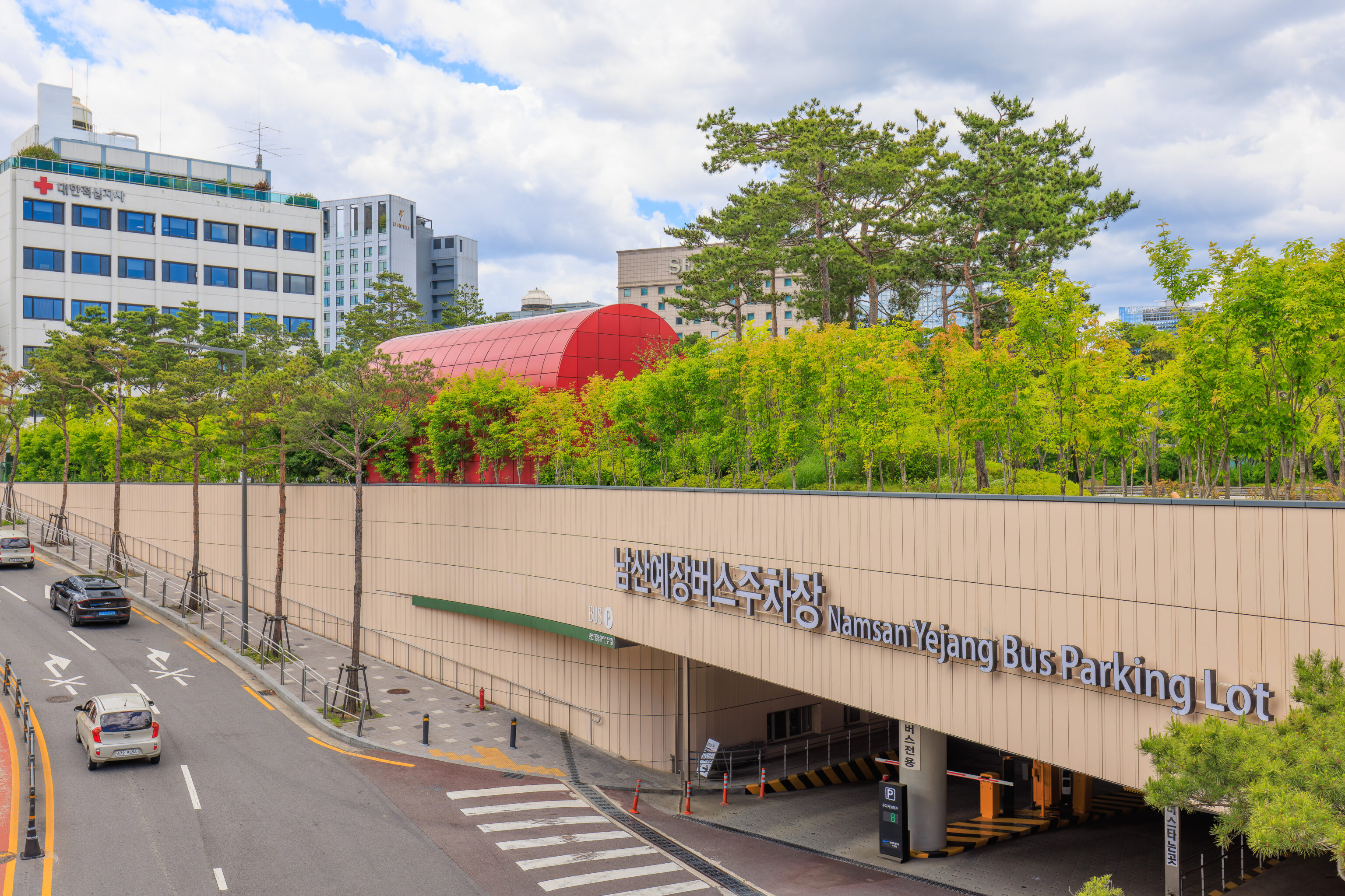
After lunch, we started to head to Namsan. We decided to go by bus. The Namsan Yejang Bus Transfer Station, which is just a short ride away from Namsan, was within easy walking distance.
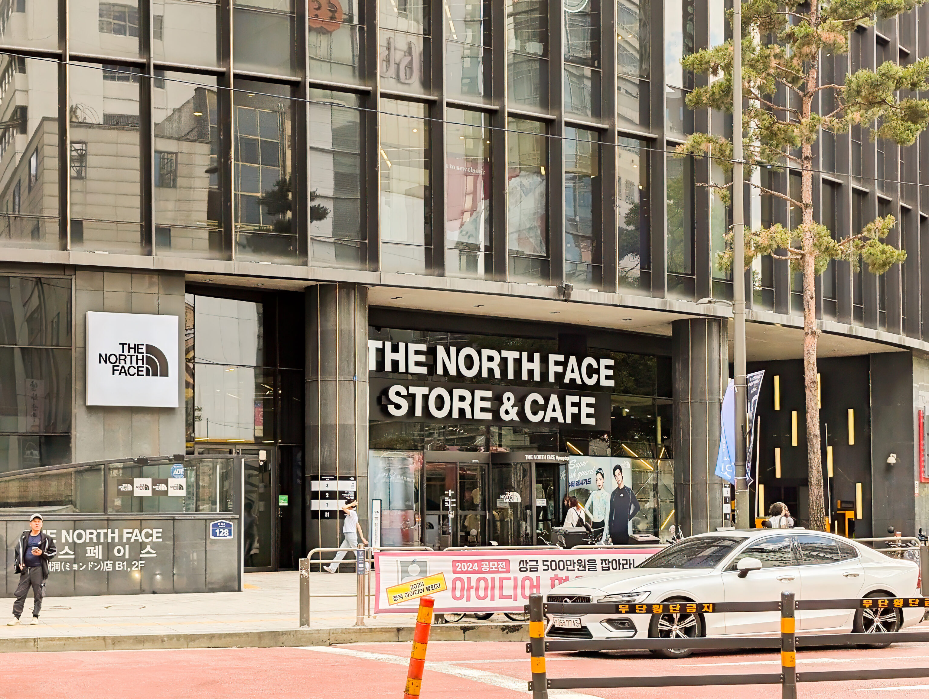
We passed by this multi-floor North Face store which includes a cafe. We briefly took a look inside on the ground floor but didn’t go up to see the cafe.
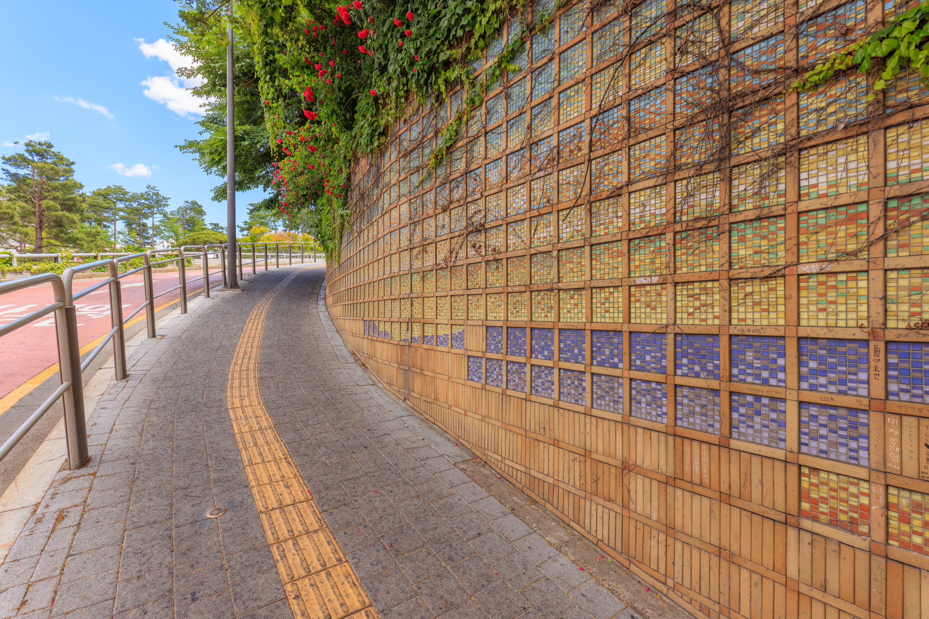
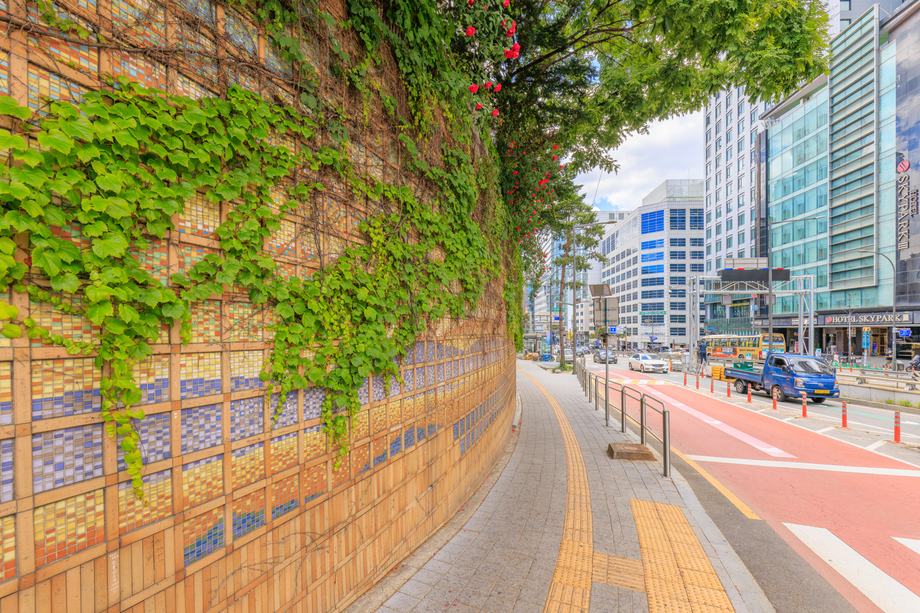
We walked by this pretty tiled retaining wall on our way up a hill as we headed to the bus station.
It wasn’t obvious exactly where the bus station as there is also a park, the Namsan Yejang Park, at the same location. We decided to cross the road here to walk through the park.
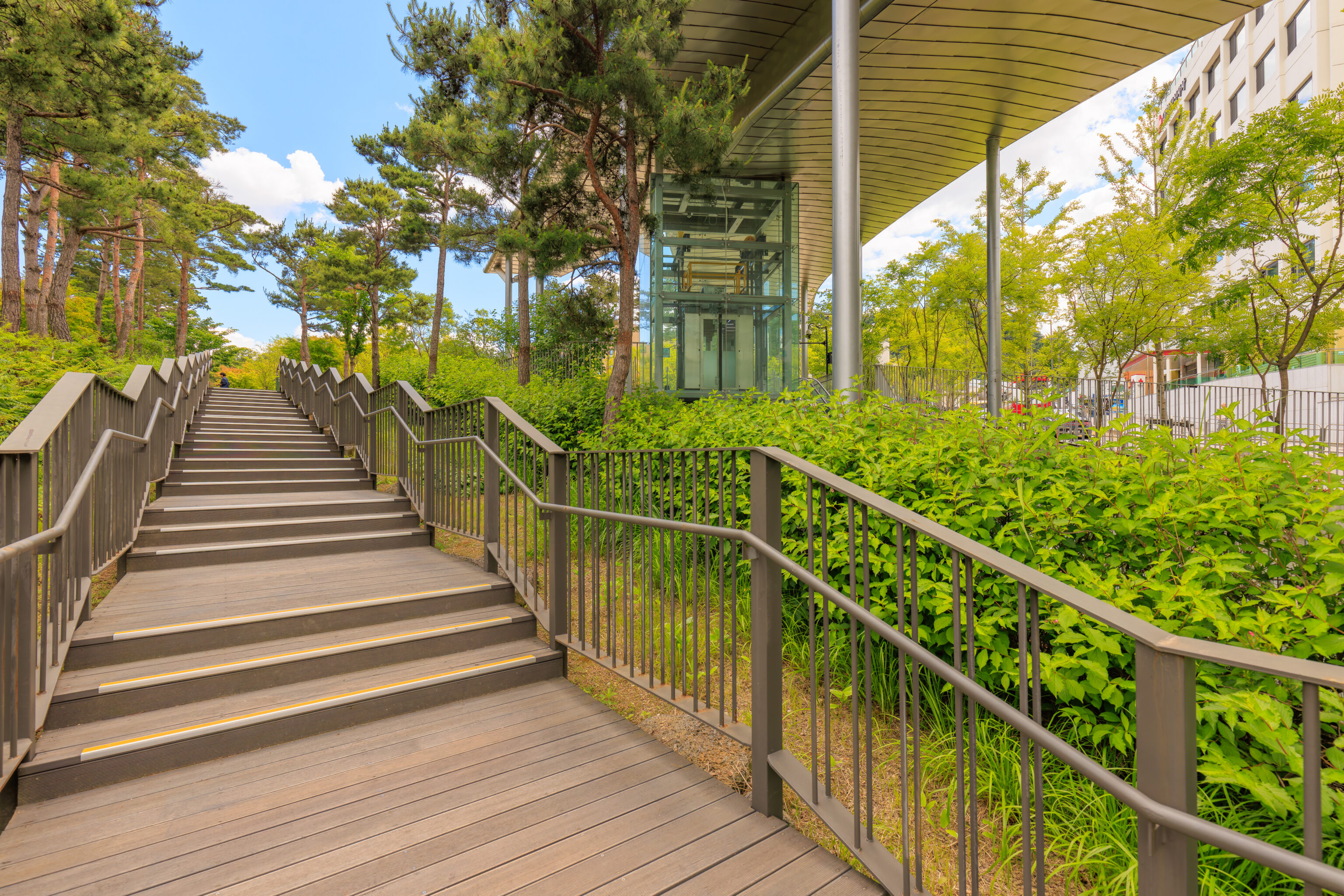
We walked up a long boardwalk.
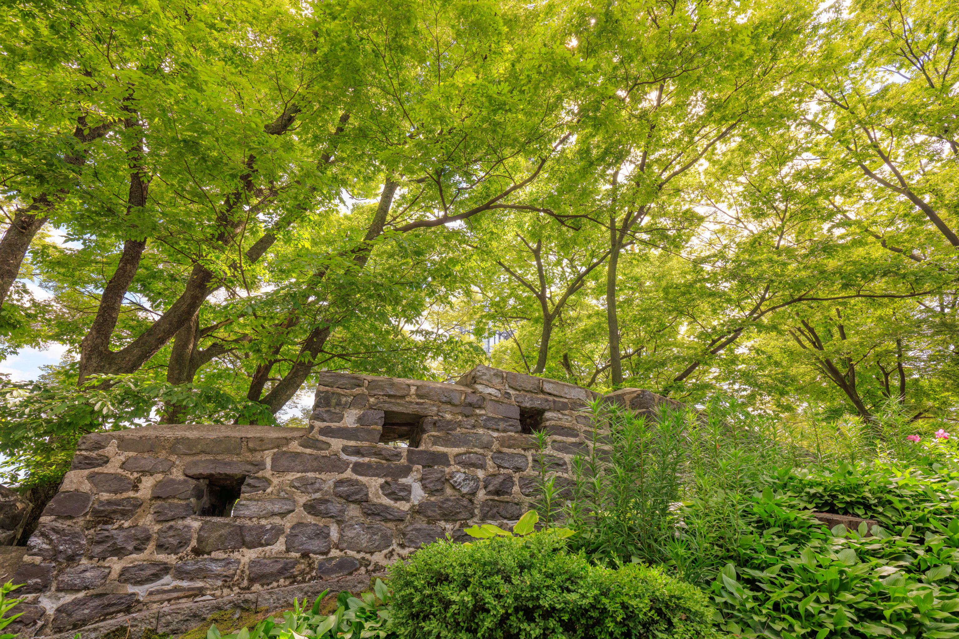
We came across some ruins in the park. This site was a former military facility in the Joseon Dynasty and became some sort of official building for the Governor General during the Japanese occupation. Later on, it was a office for the South Korean Central Intelligence Agency when South Korea was ruled by a military dictatorship and contained a prison where torture was performed. There is now a museum on site, 기억 6 Memorial 6.
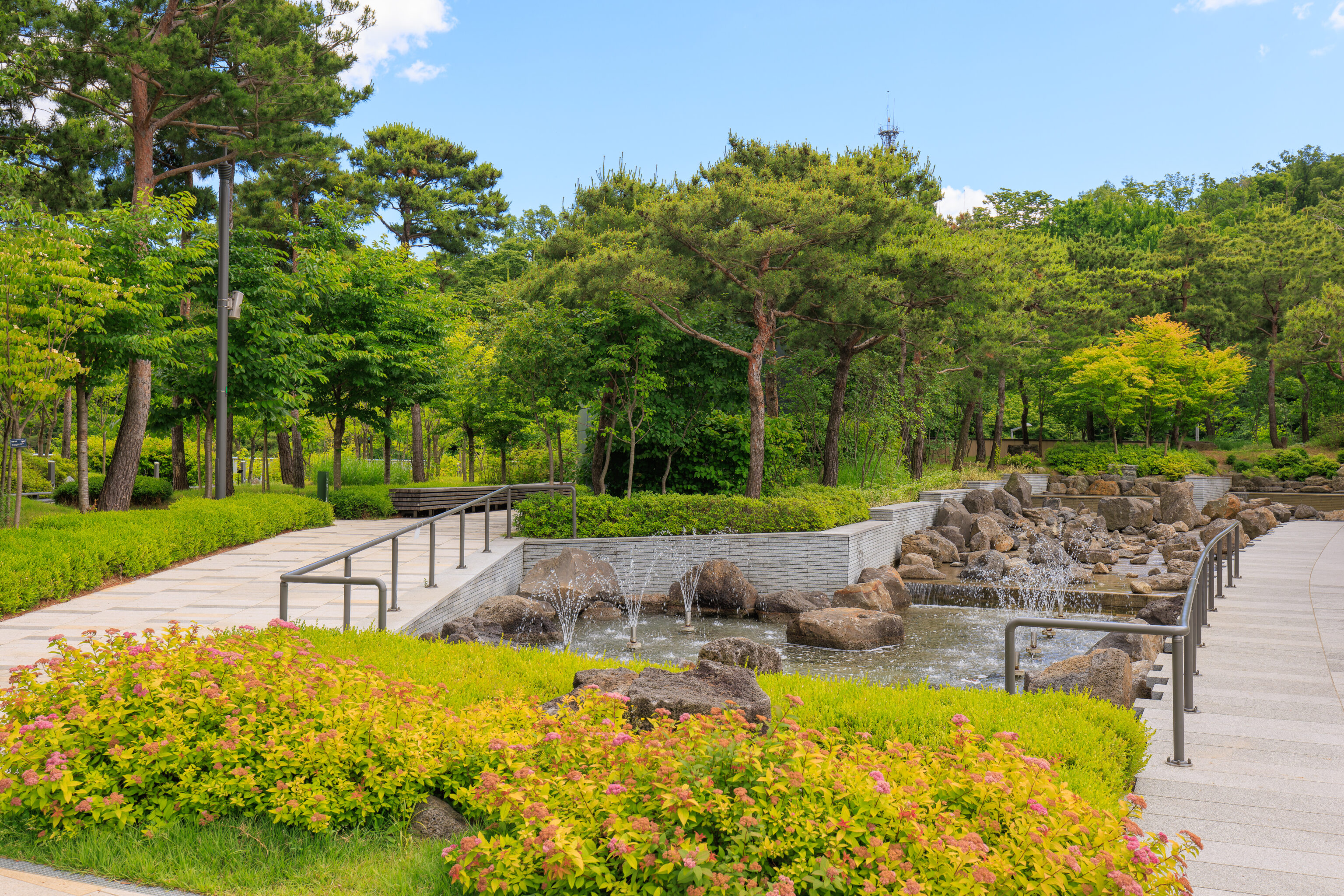
Other than the ruins, there is also a large water feature as well as seating nearby. There were some people here but it wasn’t busy at all.
We found what seemed to be the vehicular entrance to the bus station below.
We decided to backtrack a bit to where we entered as there was an escalator going down.
We ended up in a large underground passageway. There was no one here, making us wonder if we were headed the right way.
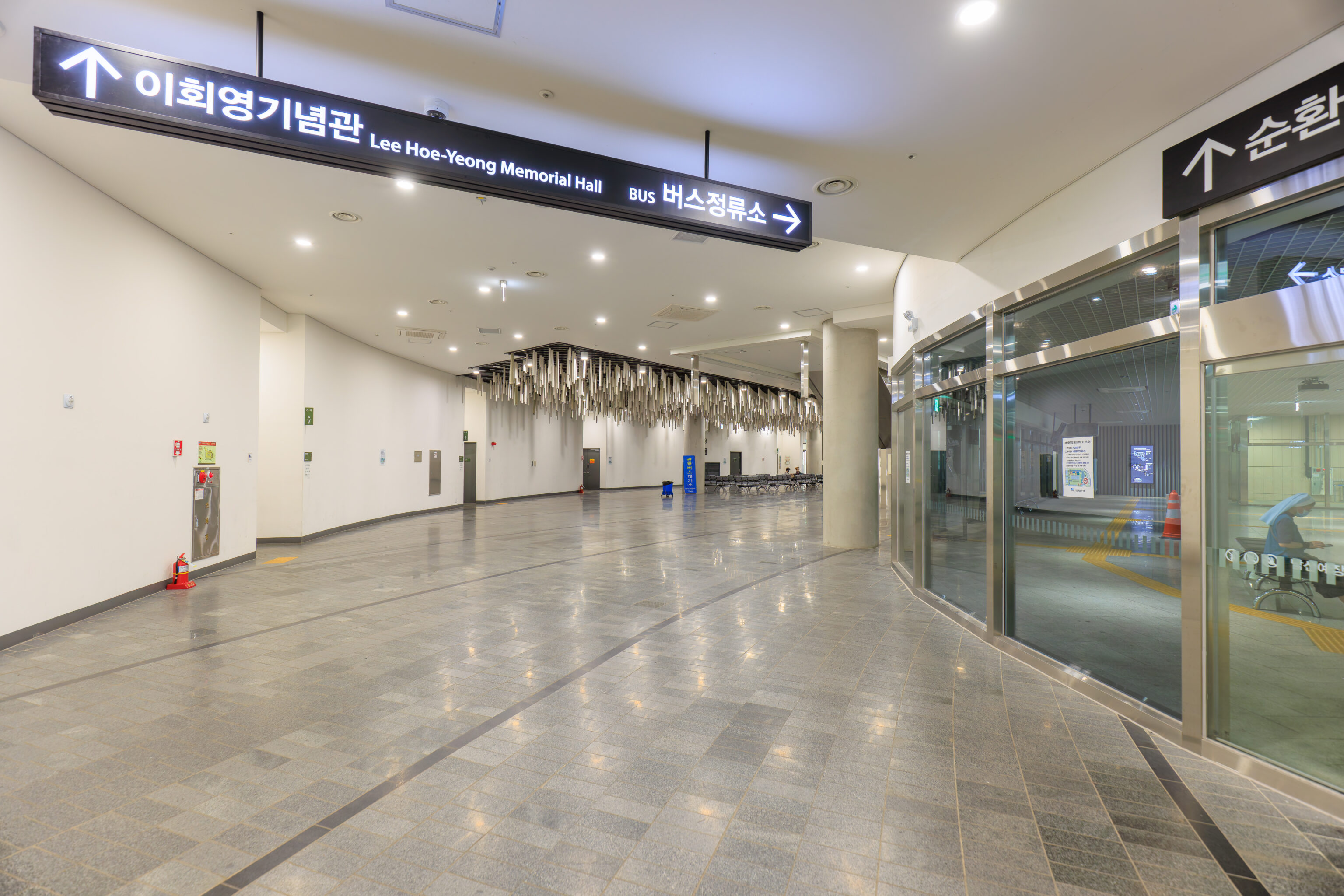
We continued forward until we entered the actual bus station. We found the queue for the bus inside.
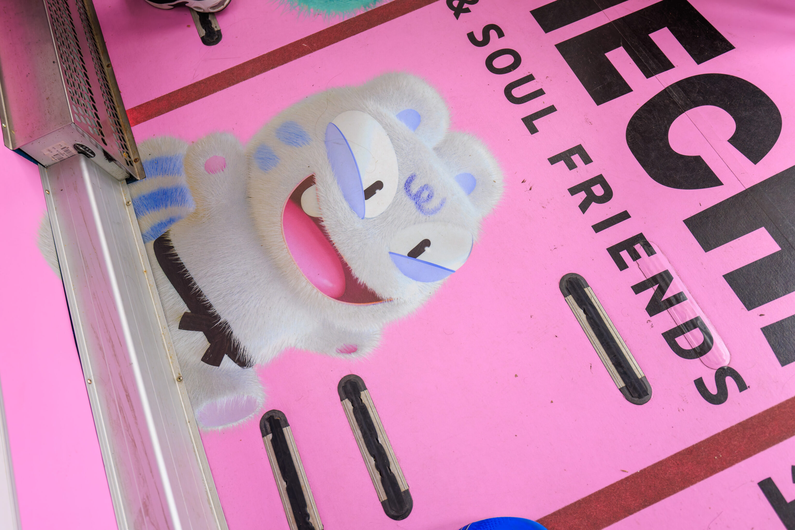
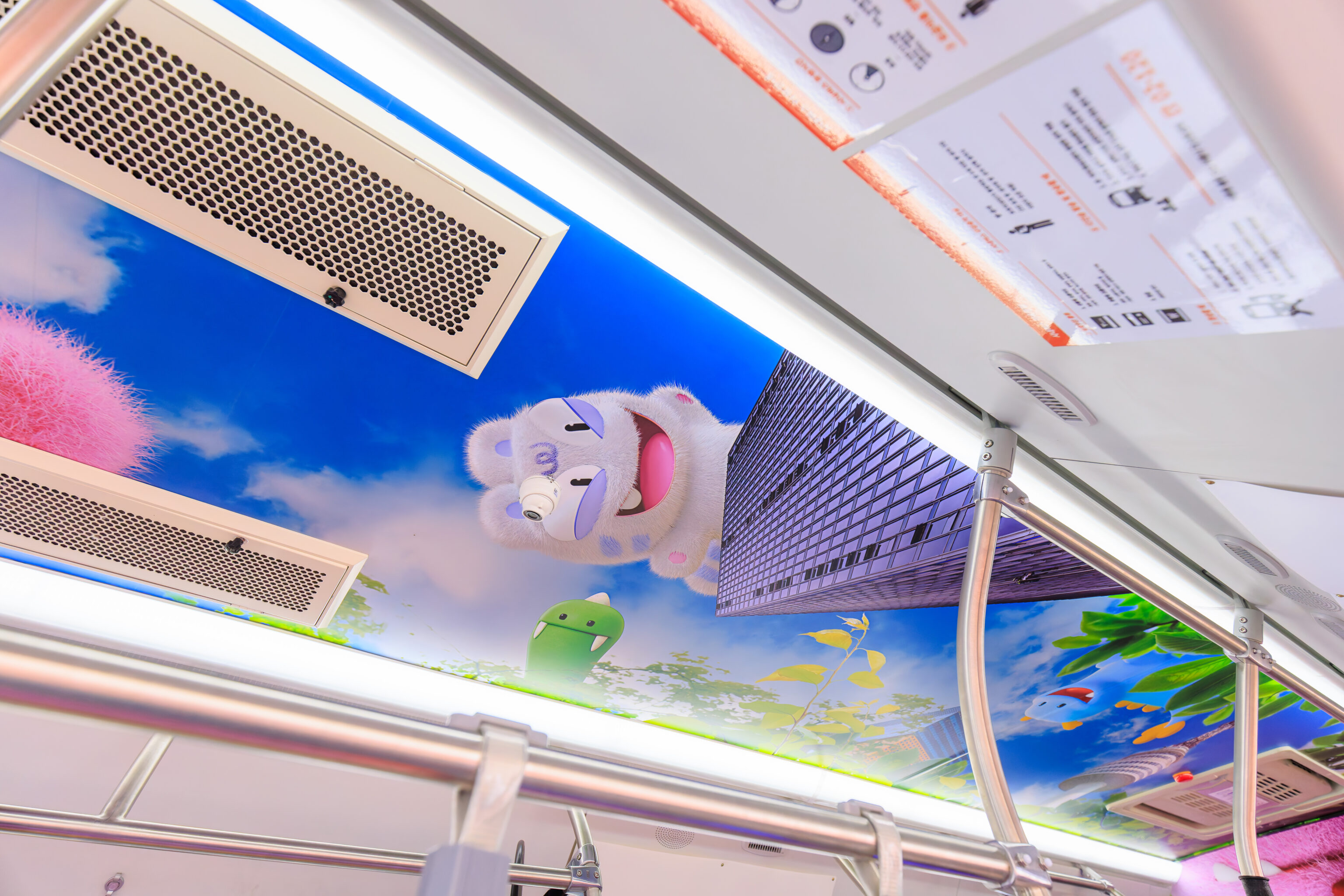
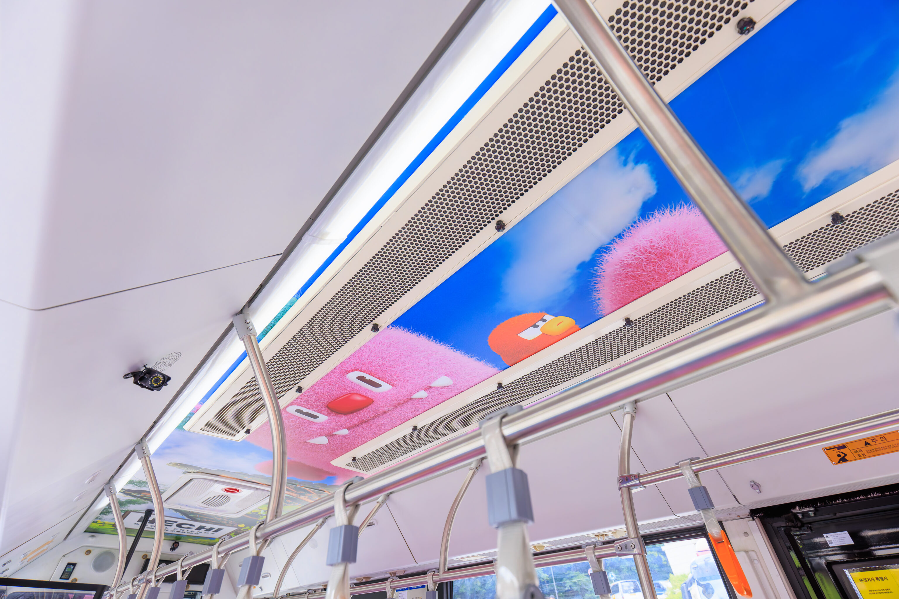
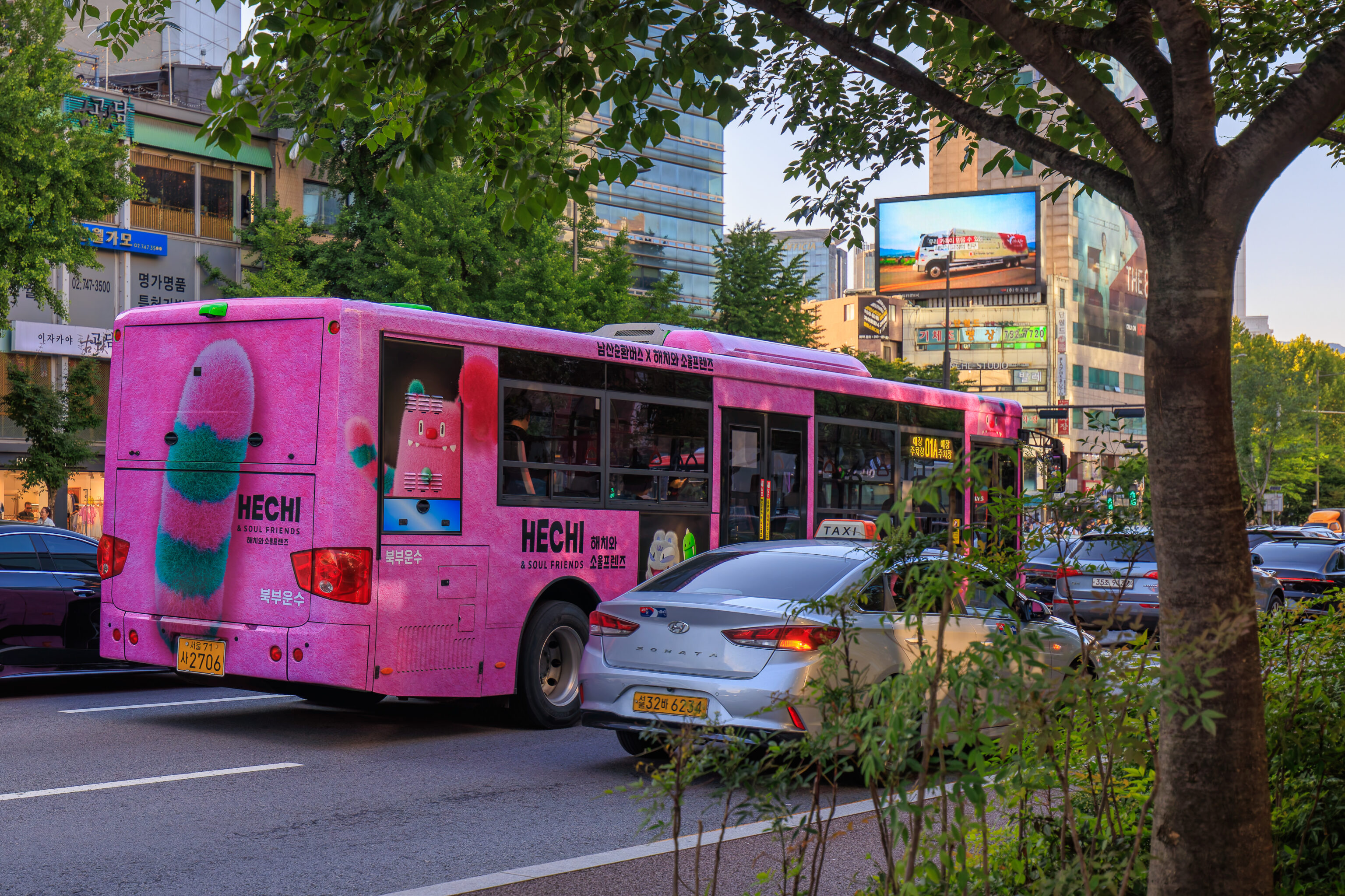
It turns out that the Namsan bus, line 1, is operated by the pink busses that we saw yesterday! These busses feature Hechi, a mascot for the Seoul Metropolitan Government. There are other characters as well, his Soul Friends. The bus is decorated on the outside, floor, and ceiling! Line 1 actually operates in a large loop around the city, though we’re getting on very close to Namsan as Myeongdong is just on the northern edge of the mountain.
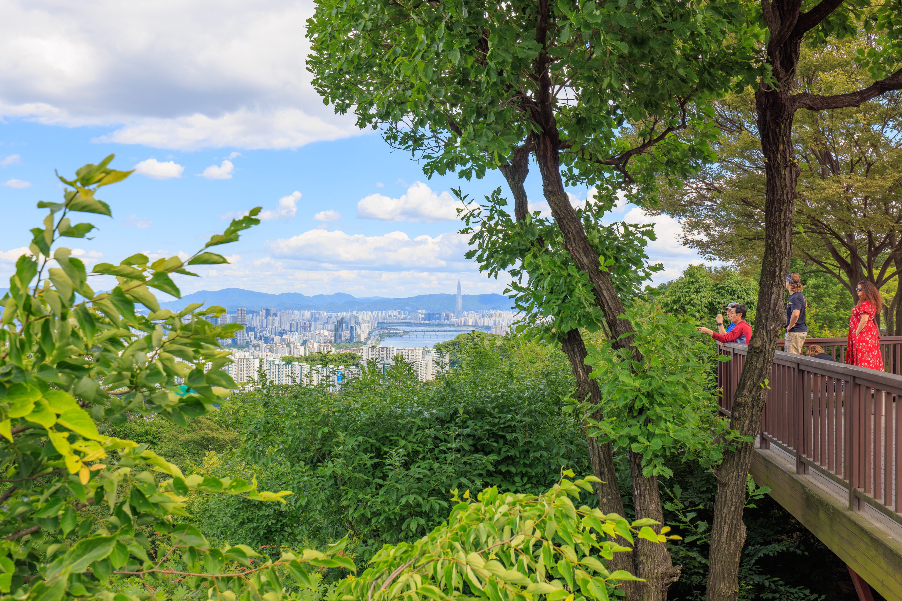
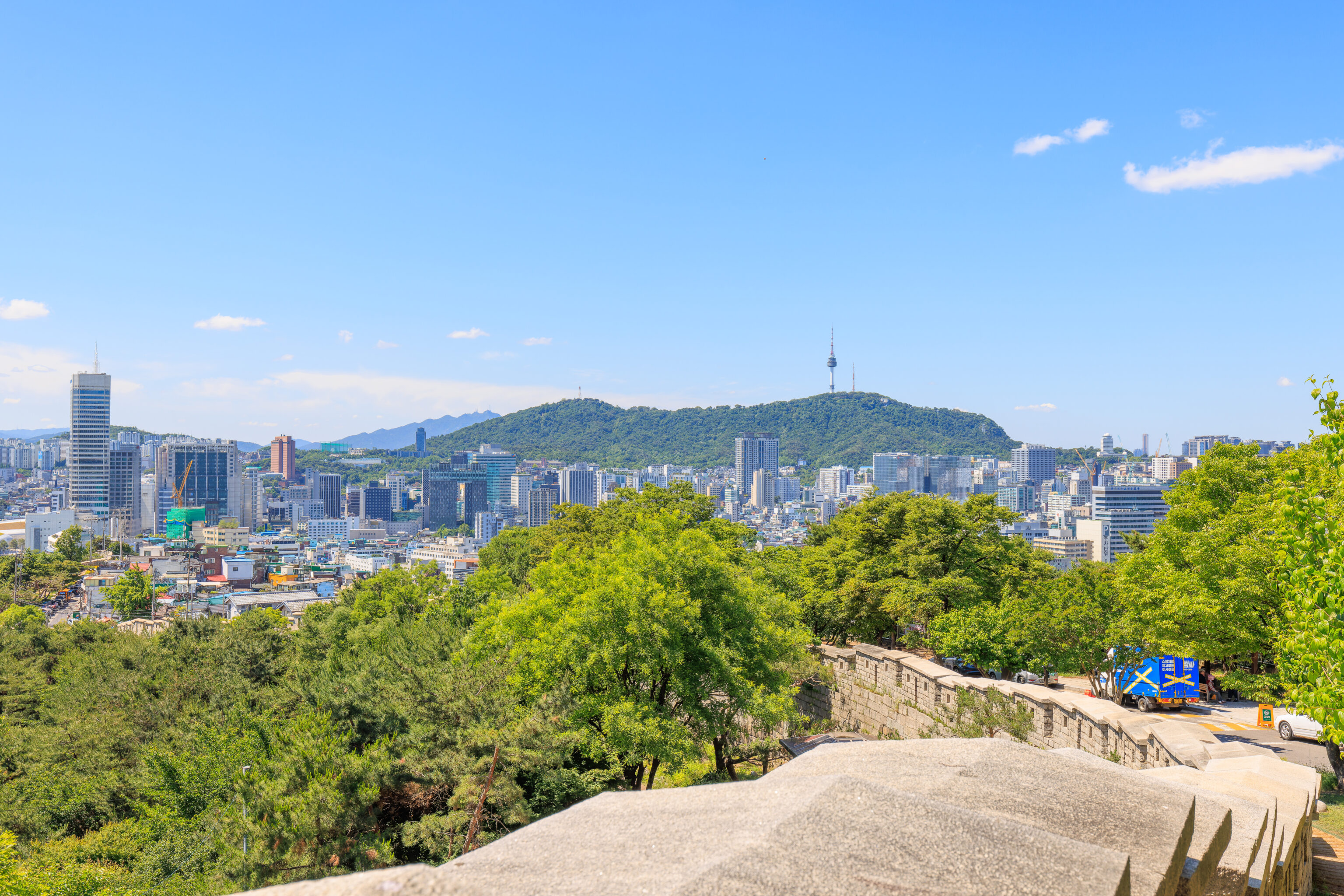
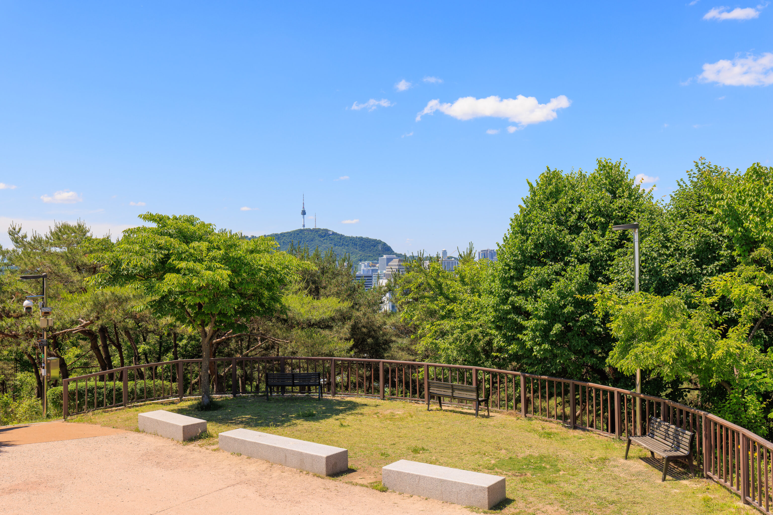
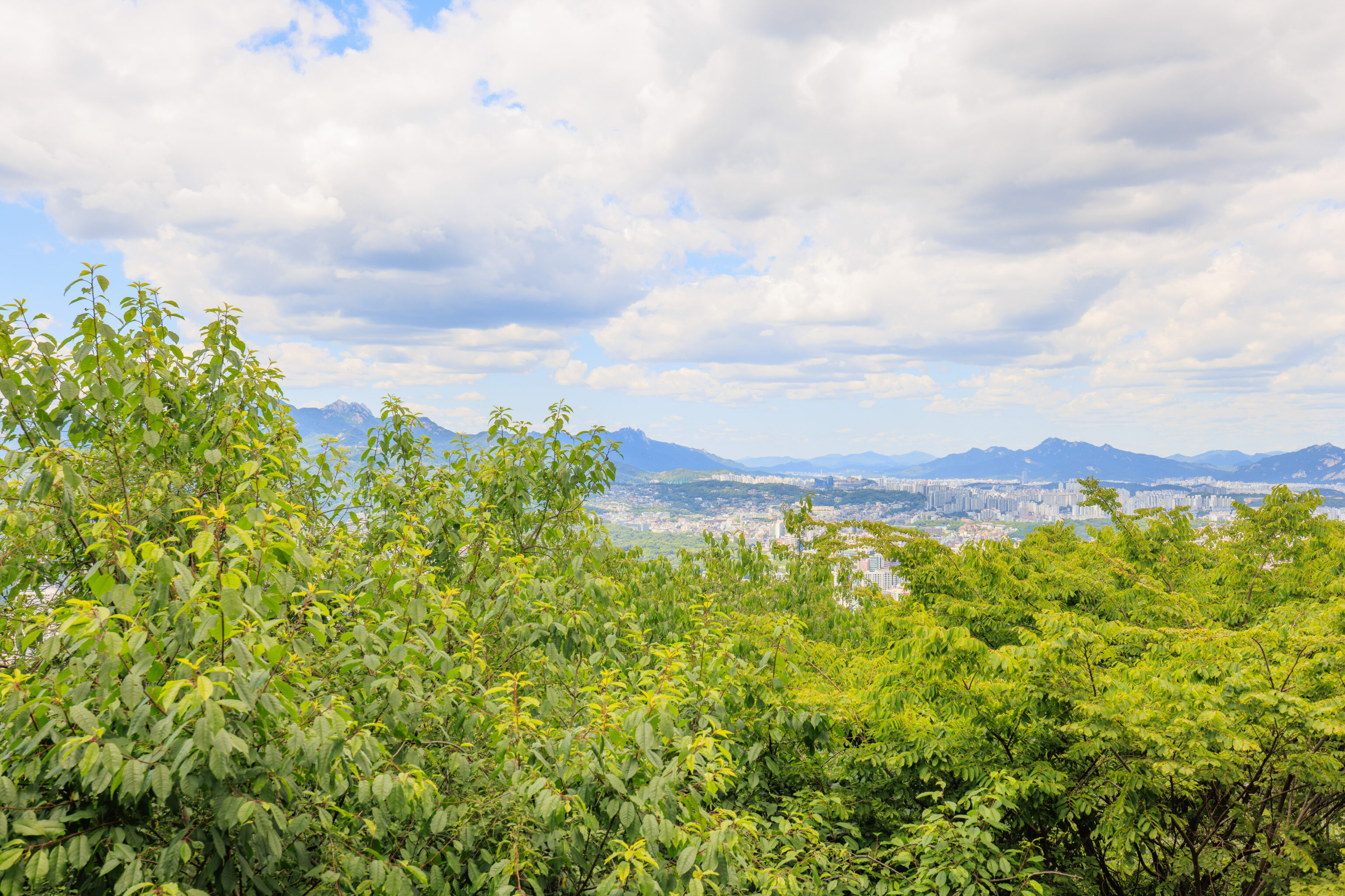
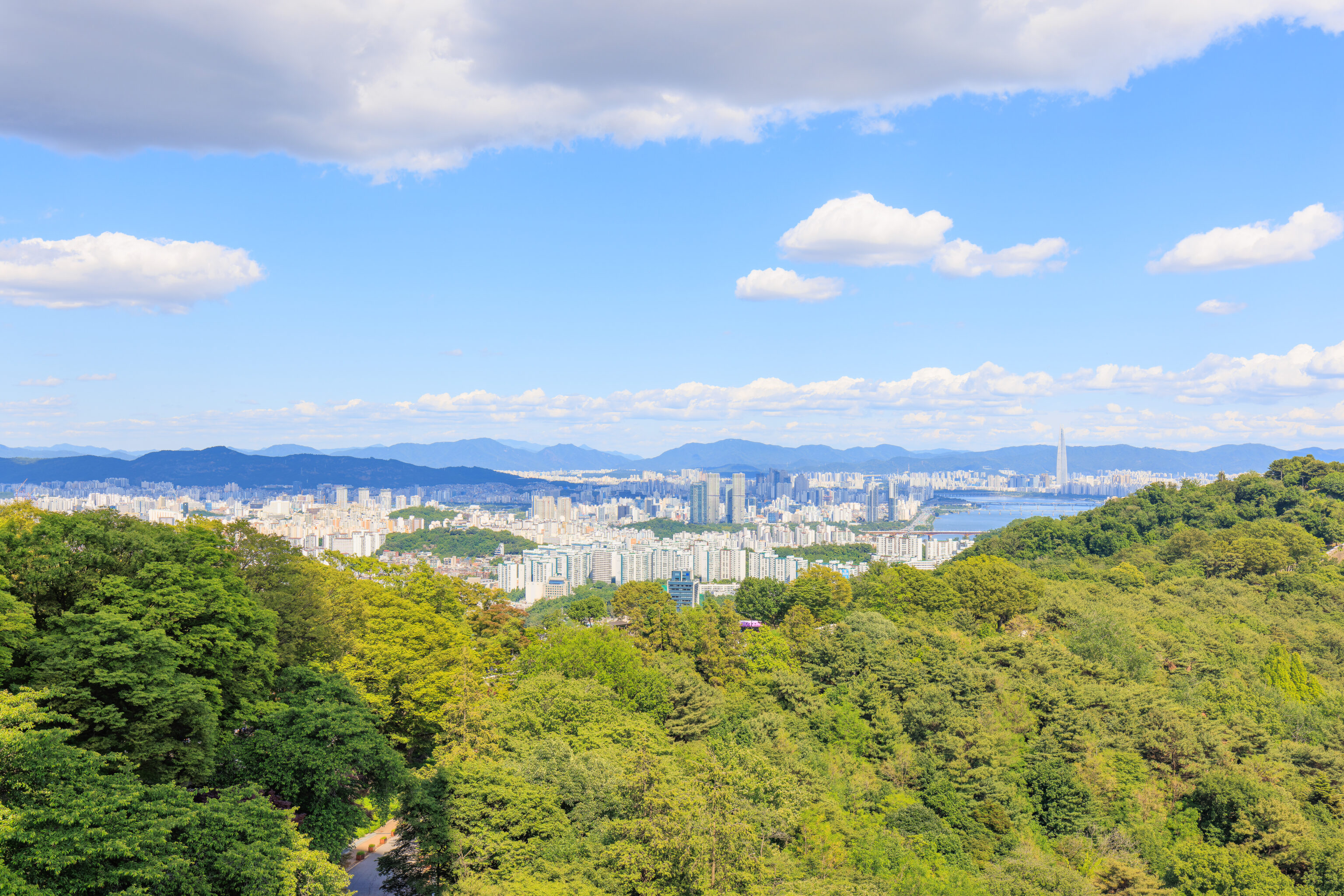
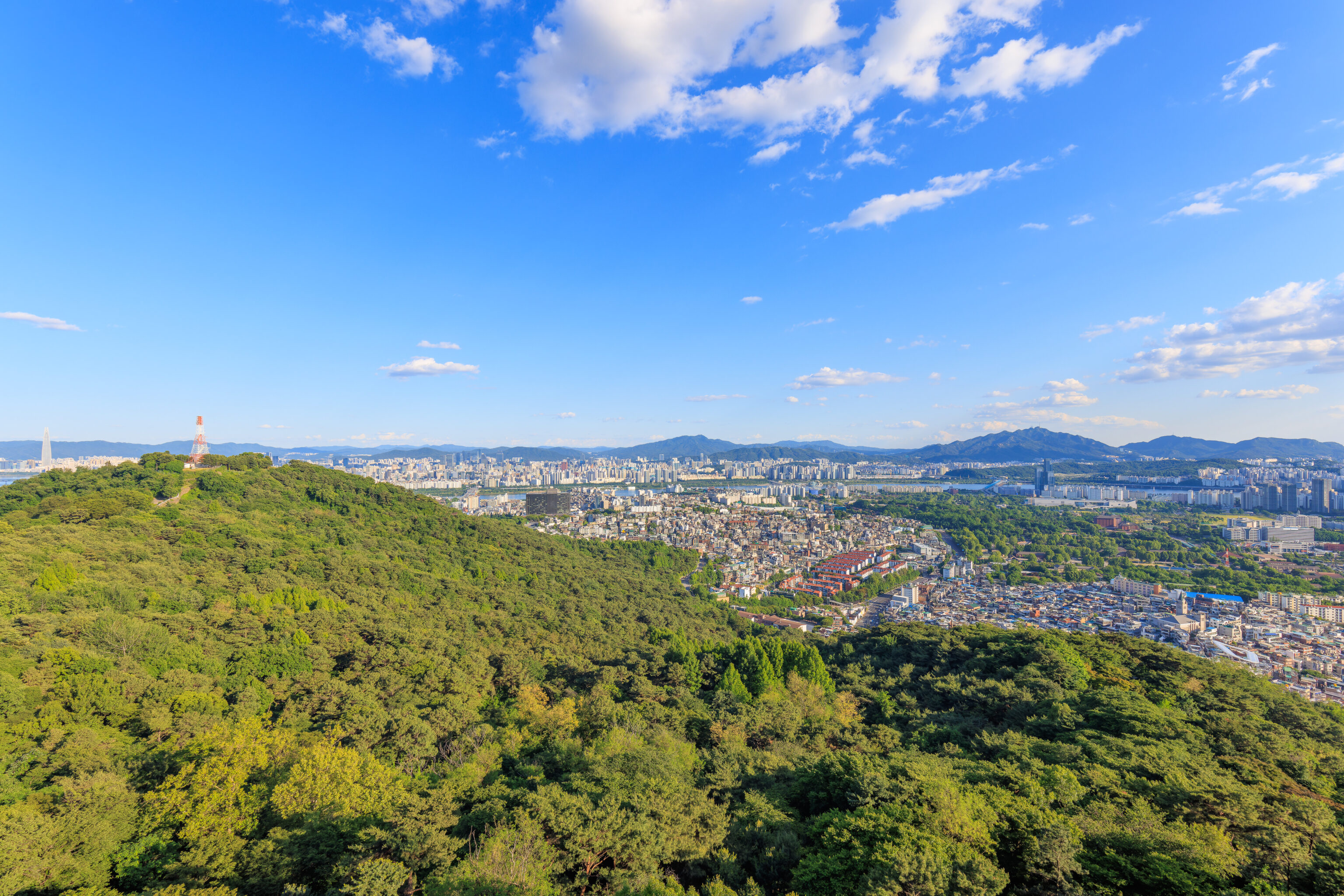
Soon, we arrived at the Namsan bus stop. From here, we had a great view to the east and north. To the east, we could once again see the LOTTE World Tower in the distance. To the north, we could see Naksan, appearing as barely a hill. While Namsan is 890 feet high, Naksan is merely 410 feet high. Neither is particularly tall, but Namsan is high enough that everything else nearby is below us. It is hard to try and identify anything but we could see some of the city wall on Naksan. The Cheong Wa Dae (Blue House), which we visited two days ago, seems to be visible at the very left through the trees.
Looking back at the road the bus arrived on, we could see a section of city wall.
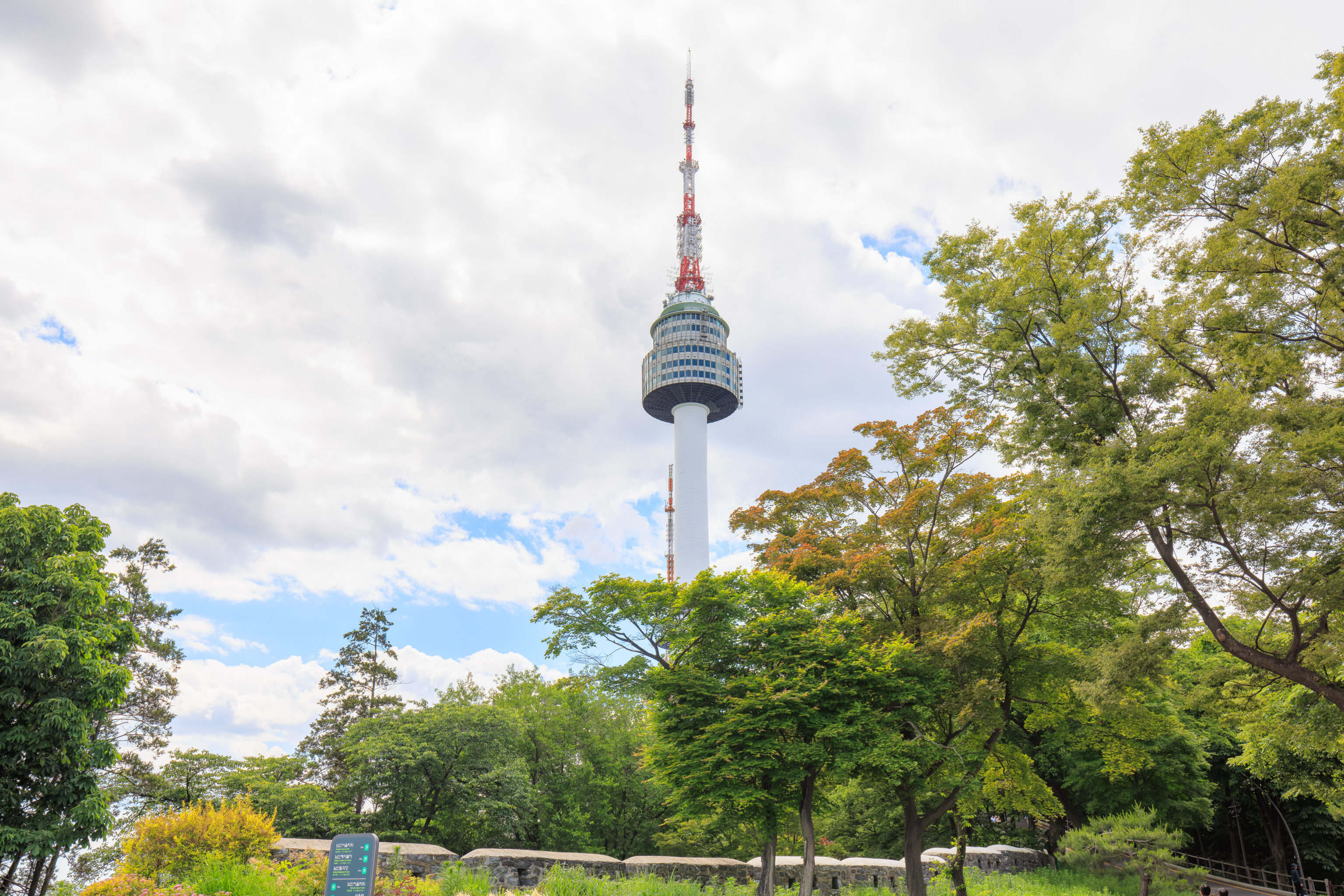
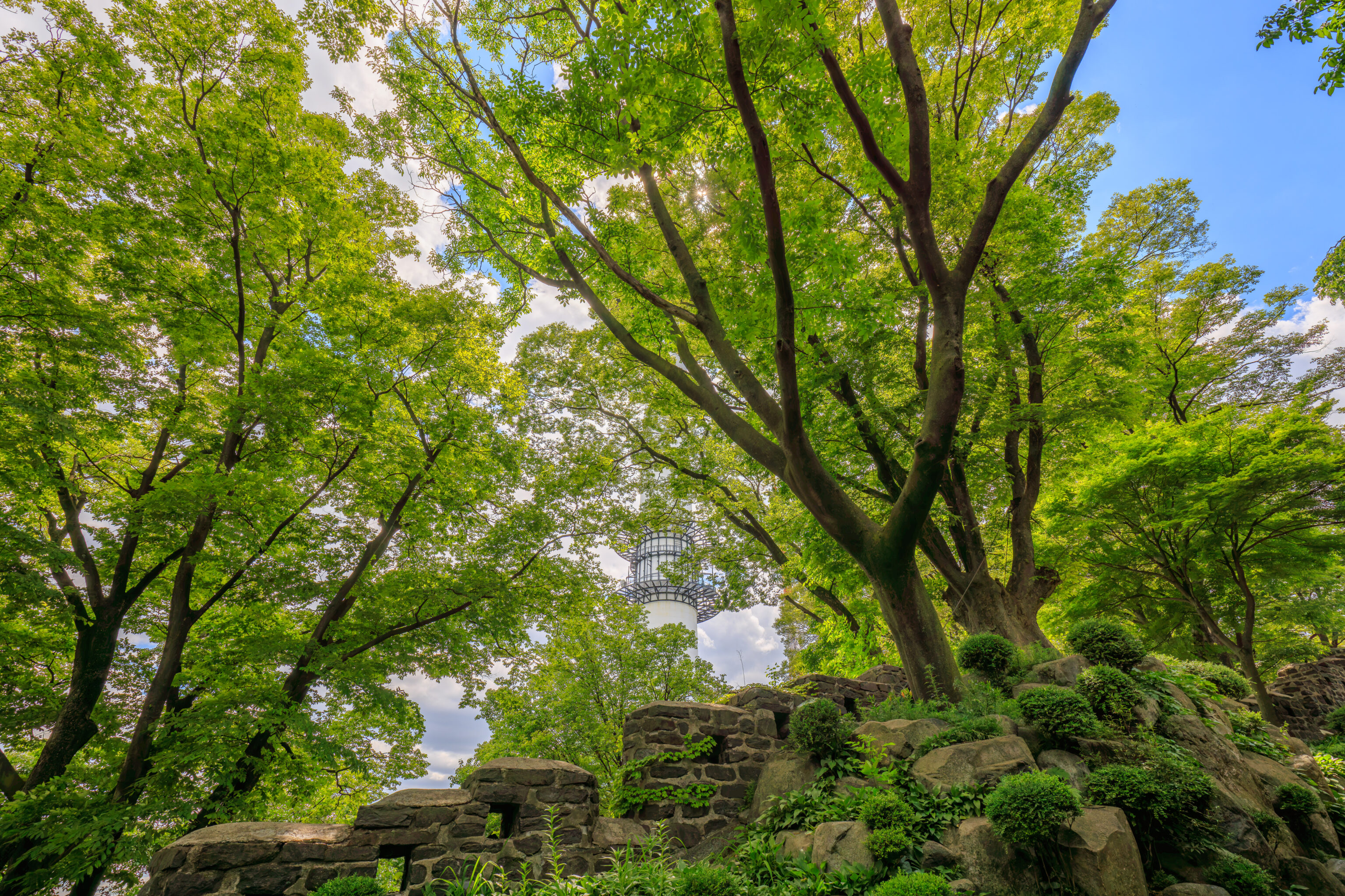
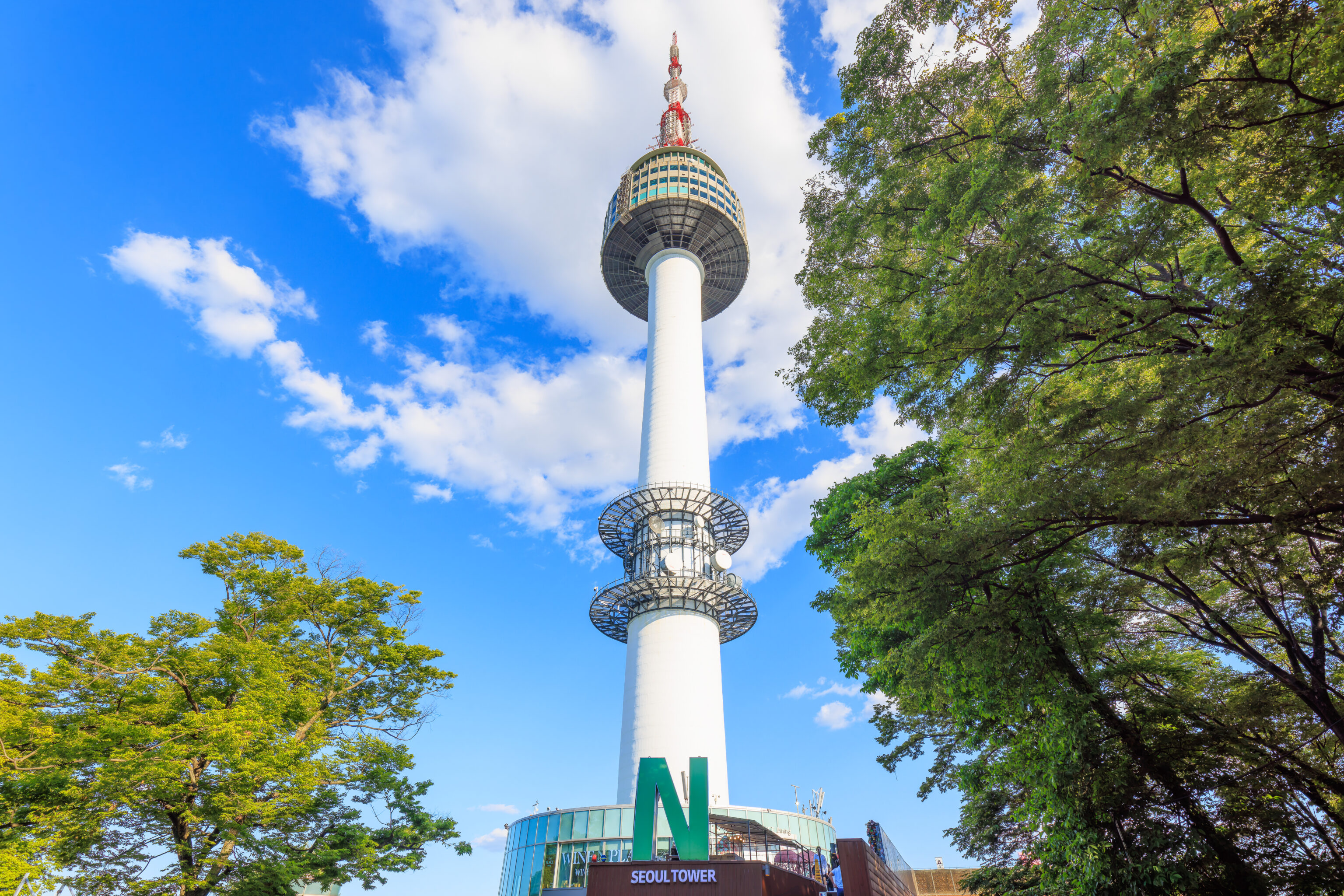
The N 서울타워 N Seoul Tower was visible to the west above the trees.
The road continues up to the west to the N Seoul Tower, though it is closed to normal vehicular traffic. The section beyond the bus stop is very steep. it runs parallel to the city wall.
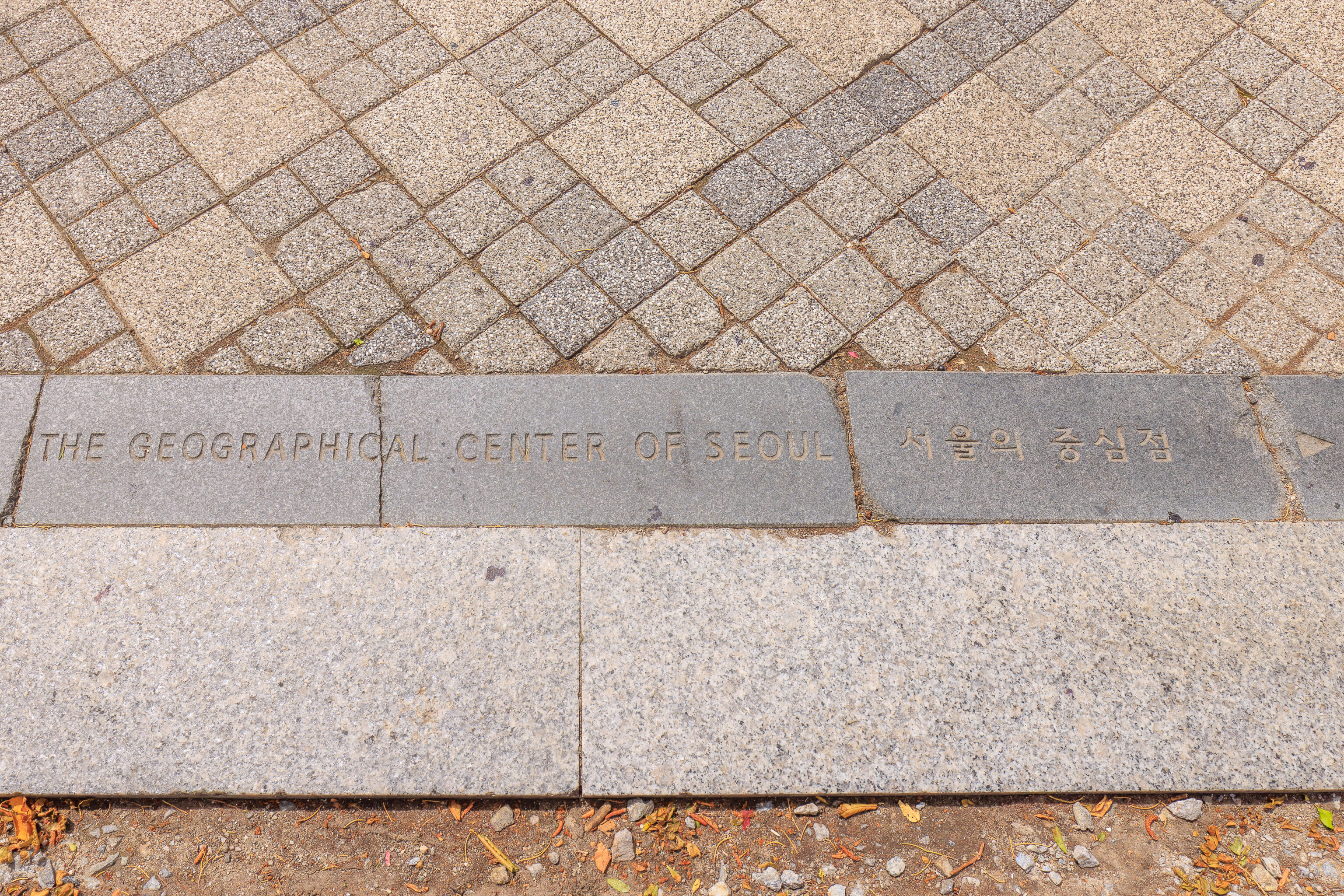
The Geographical Center of Seoul is nearby.
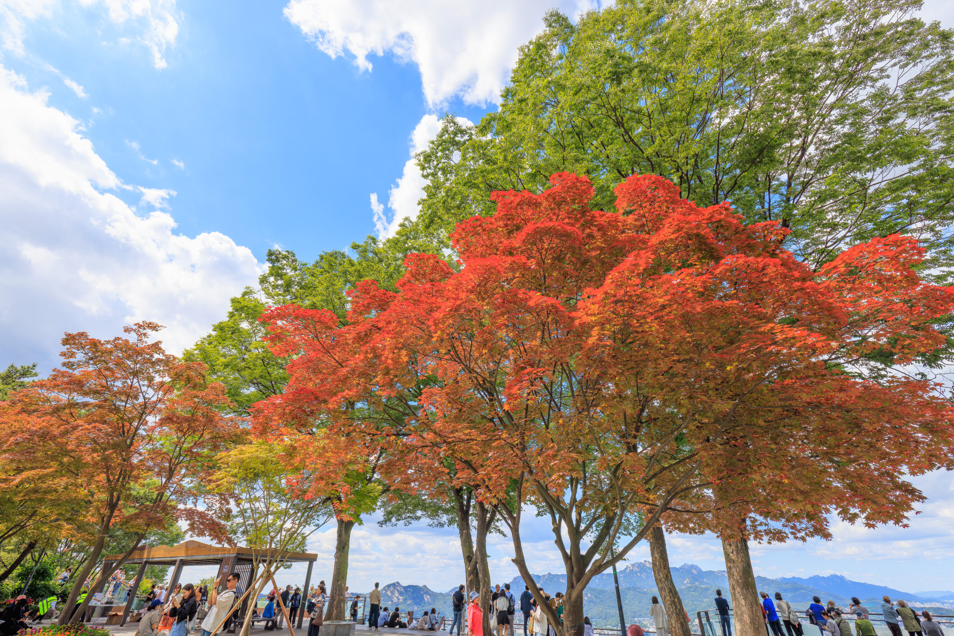
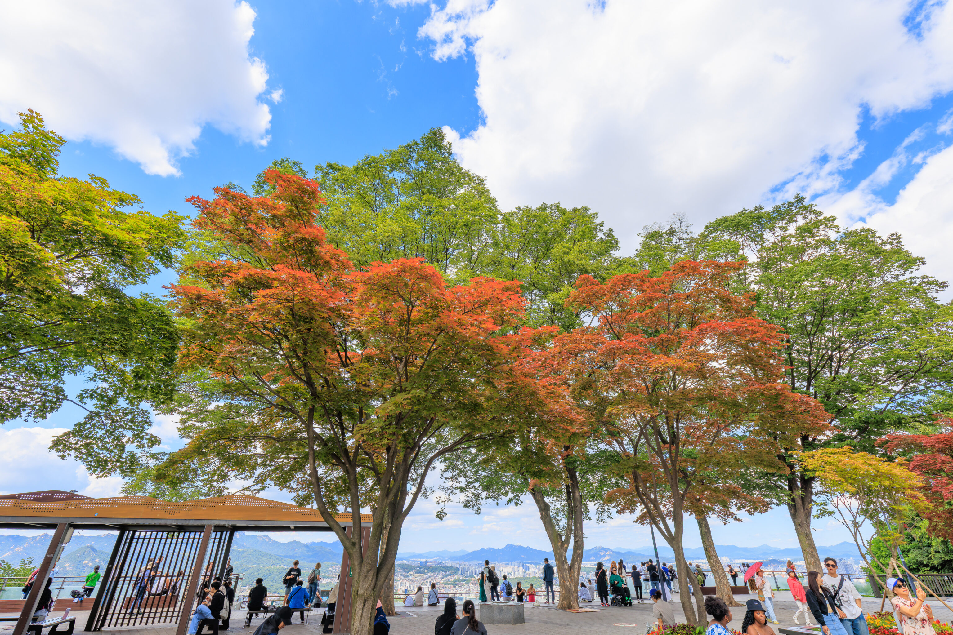
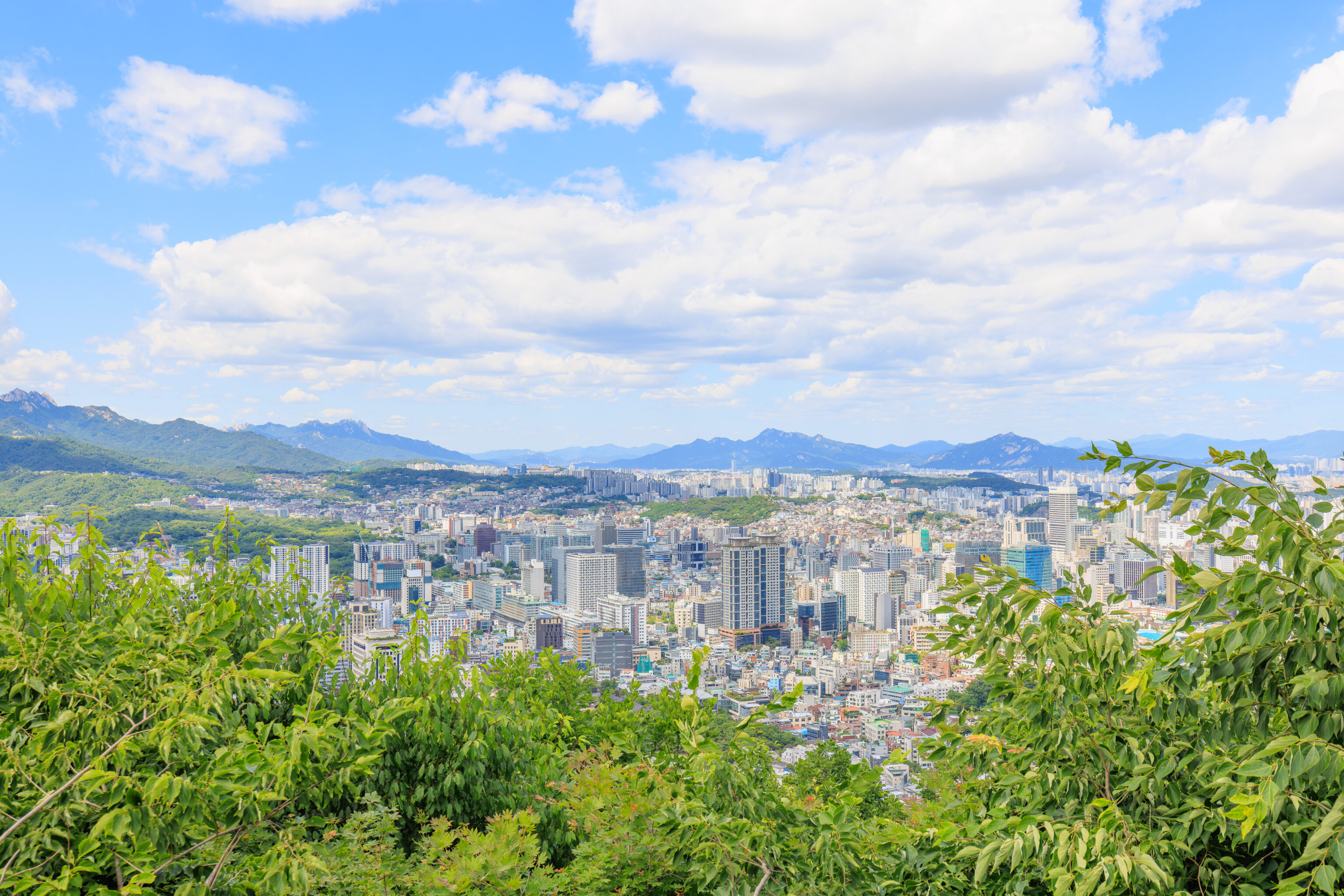
We continued until reaching a large plaza. This area was quite busy! There were a few trees with beautiful orange red leaves, which reminded us of our recent autumn trip to Japan. The Geographical Center of Seoul is around here, to the right.
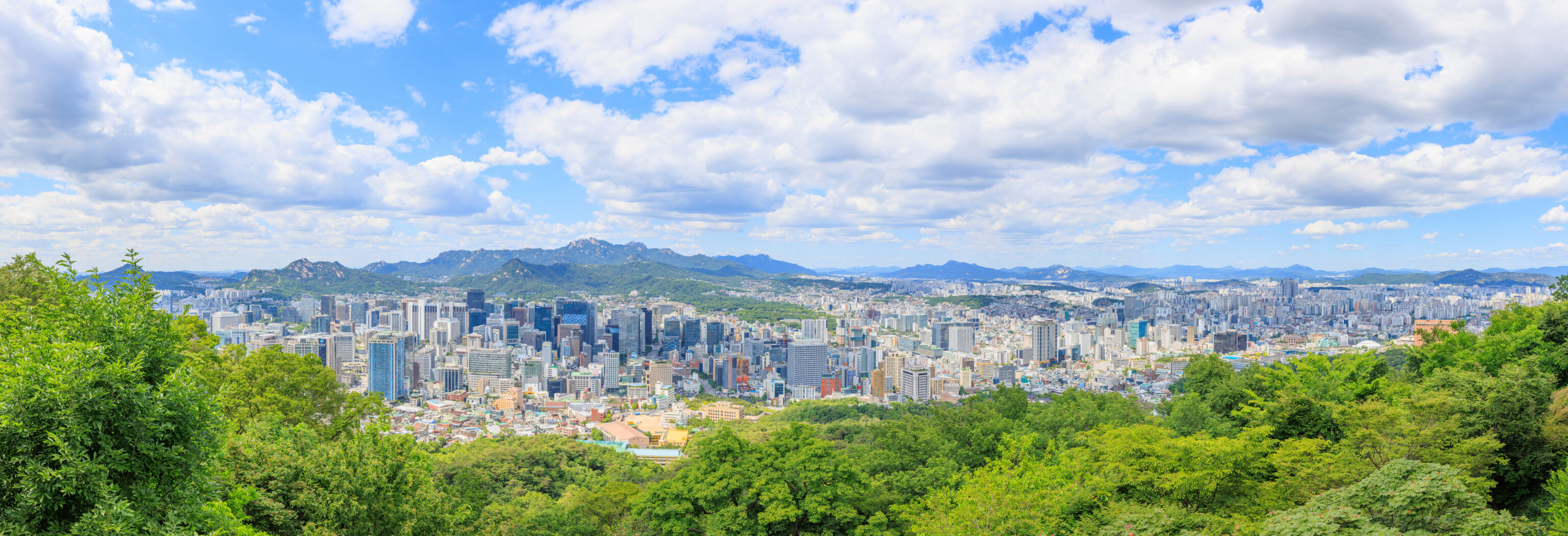
We were able to capture a panorama from the plaza. Like the bus stop, this part of the plaza faces north.
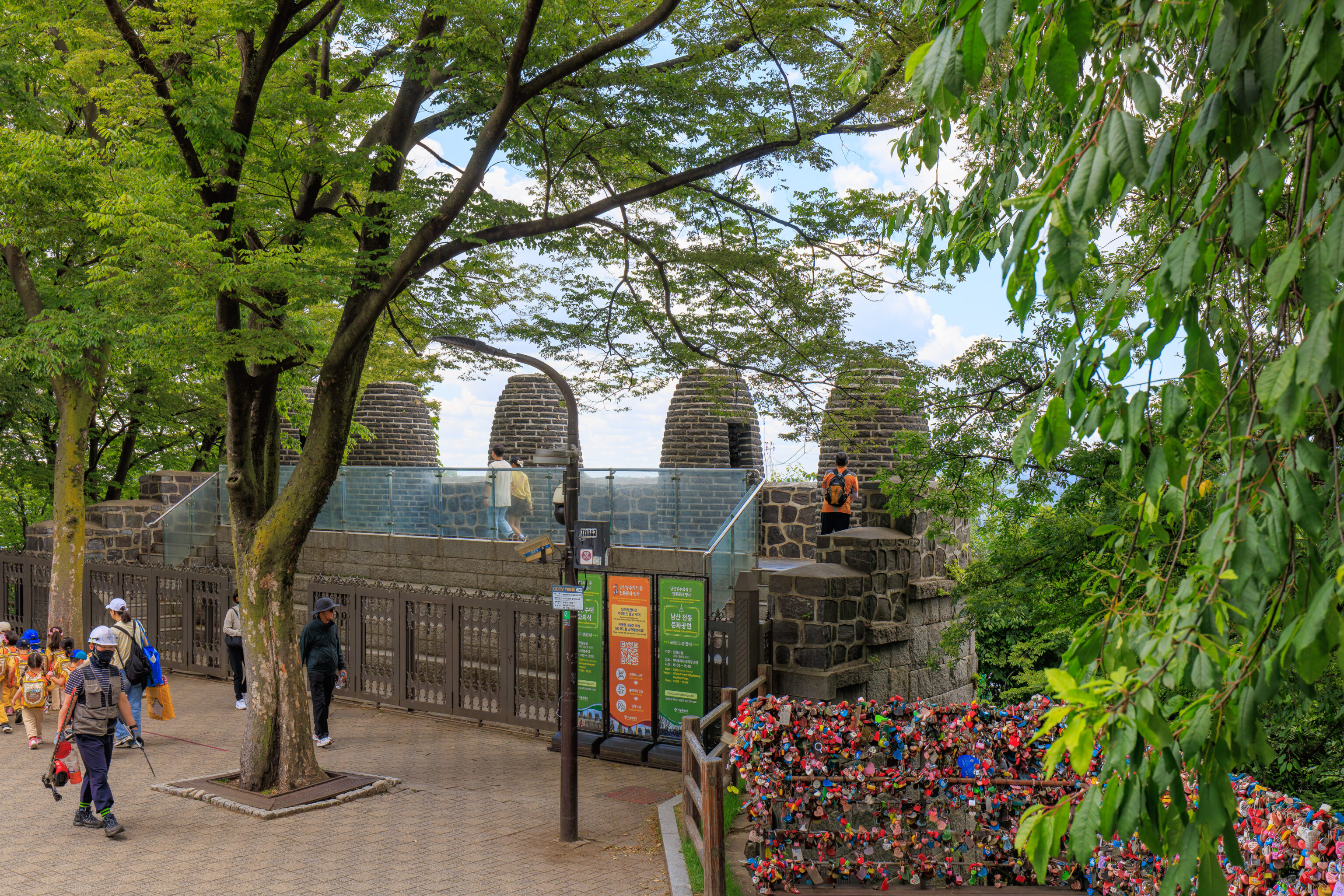
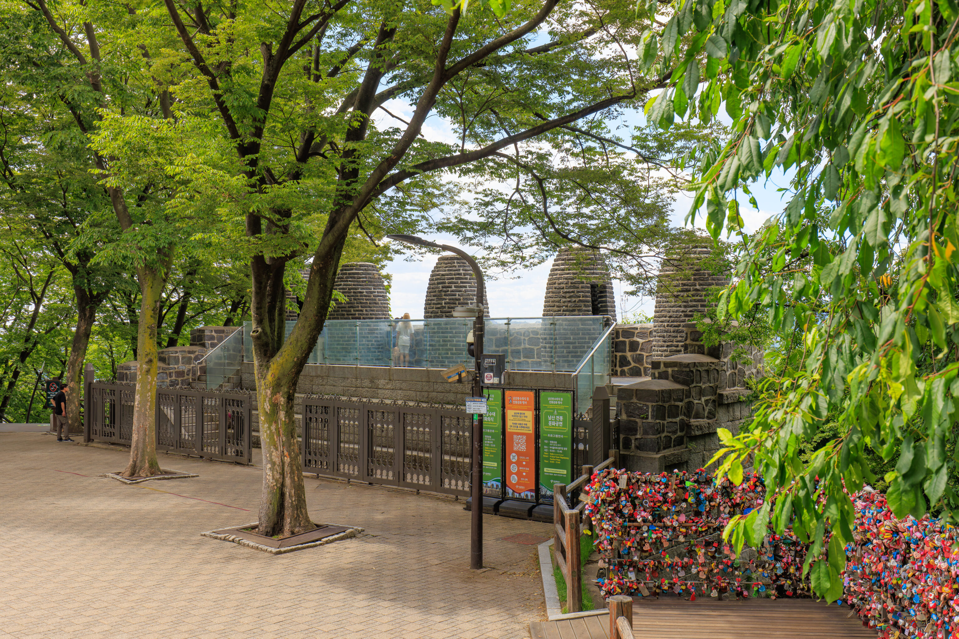
We came at this time intending to catch the 3pm Namsan Beacon Mound Lighting Ceremony. The beacon mound, in front of us, was used as a long distance communications system to warn of approaching enemies. Unfortunately, it seems that the schedule is different. The lighting ceremony is at 11am daily, except Mondays. There is now a Traditional Cultural Performance at 3pm instead.
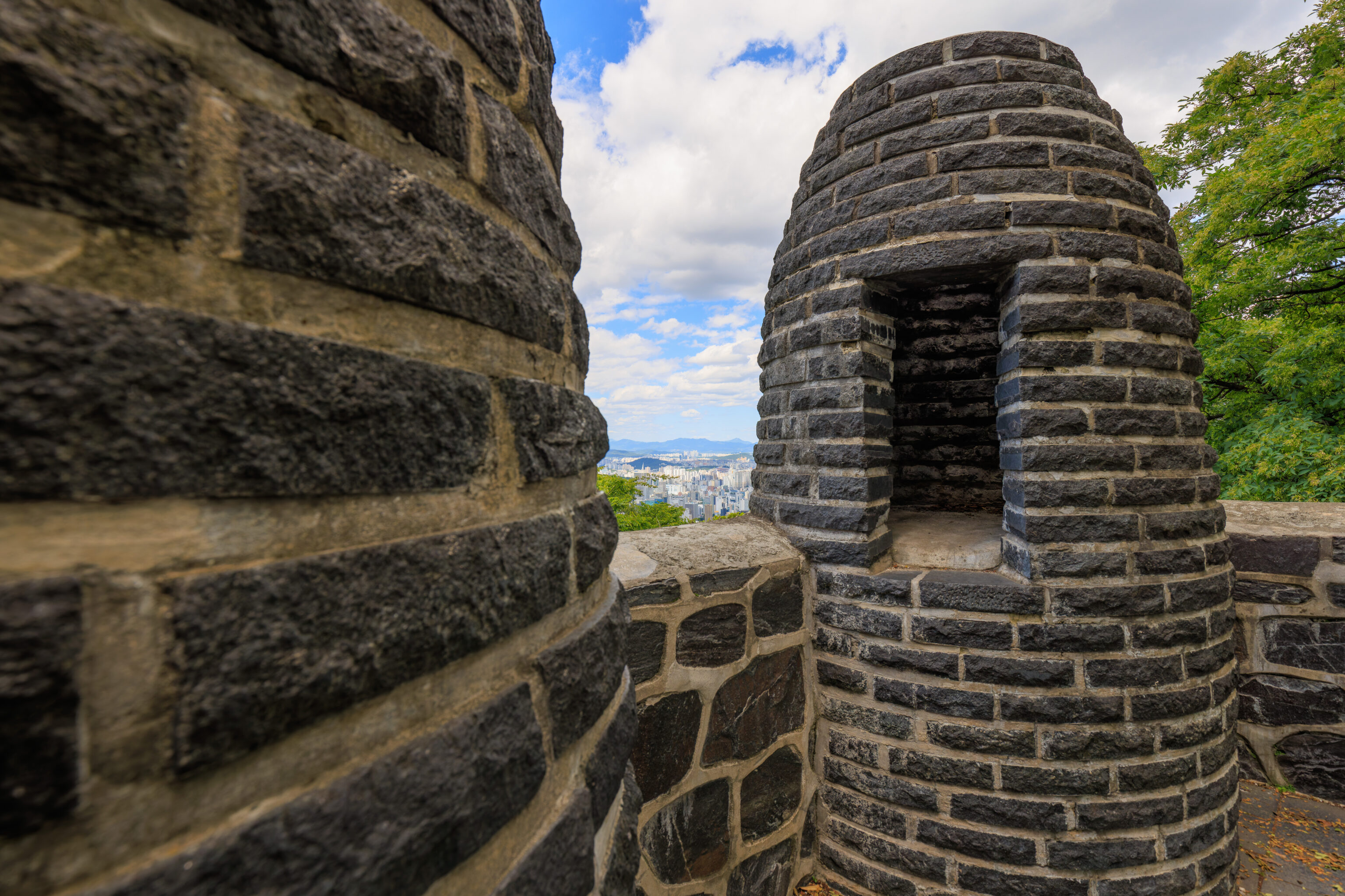
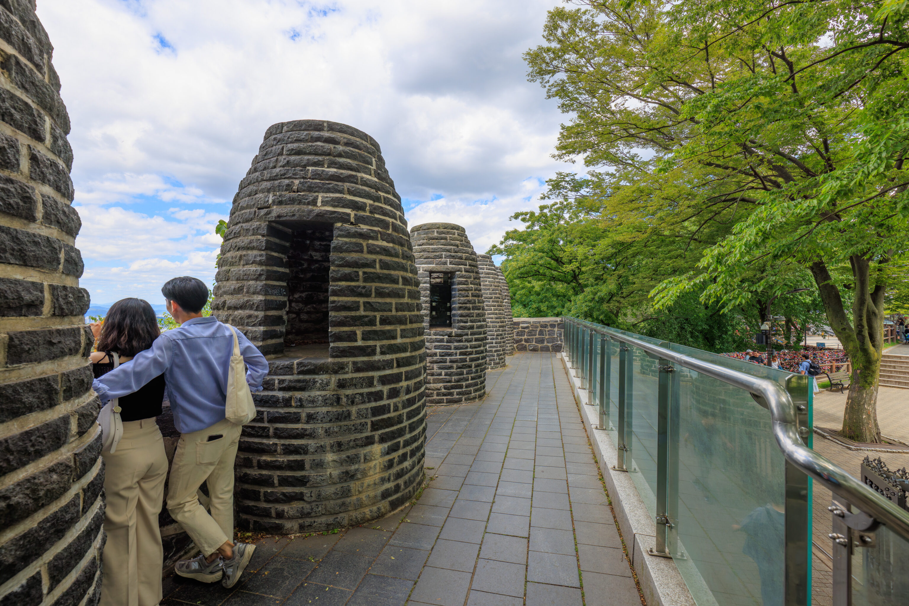
We briefly took a look at the beacon mound.
The view from the mound is mostly obscured by foliage.
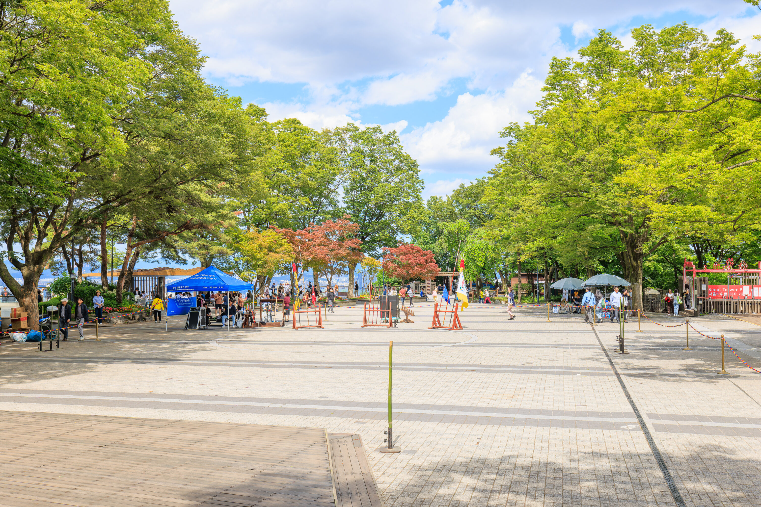
So, what to do now? We decided to see the performance as it was already after 2:30pm. We could see the area where it was going to take place. There is a set of very wide stairs which also offers seating at the edge of the roped off area. We sat down where we had a clear view.
There is a landmark behind us, the 남산팔각정 Namsan Palgakjeong, an octagonal pavilion. It is a relatively small structure that provides shaded seating.
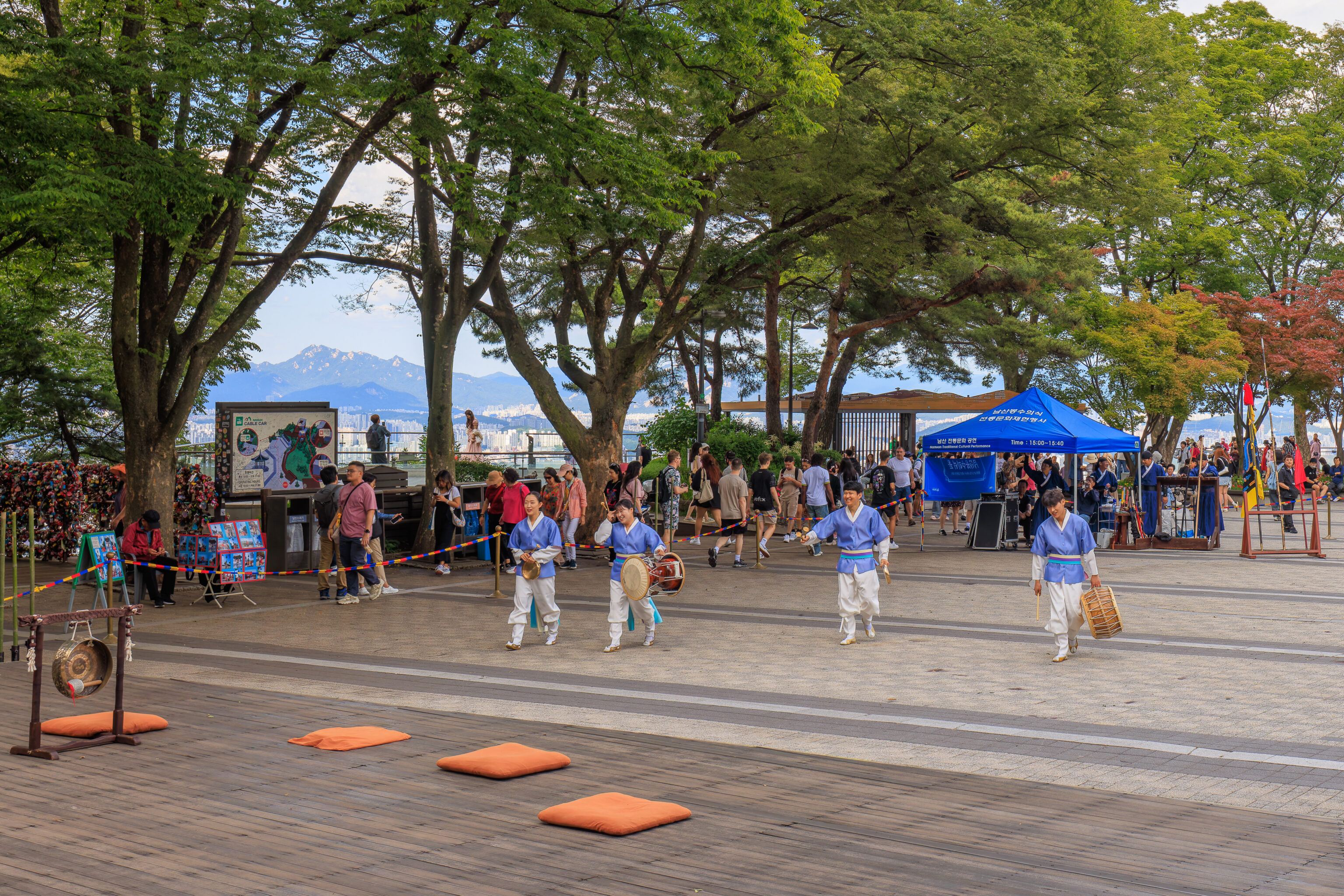
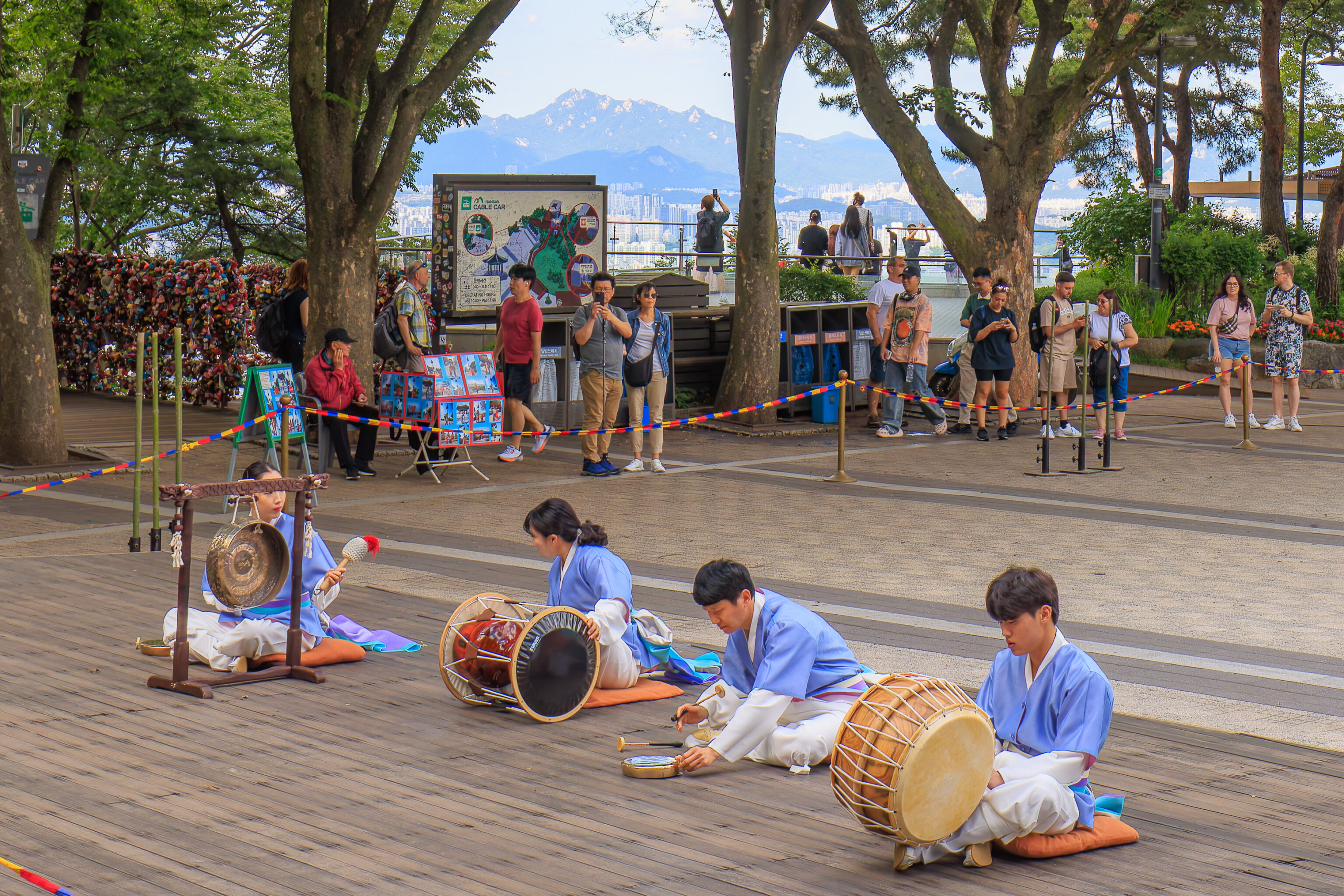
Soon, the traditional cultural performance began!
It started with a musical performance consisting of percussive instruments.
We weren’t sure what the performance would entail before it started and weren’t prepared to record video for a long time. We did pick a decent spot to sit though!
It seemed it it was over after a short bit of chanting…
But, they kept on going! The musicians performed for about 10 minutes in all, quite vigorously at times!
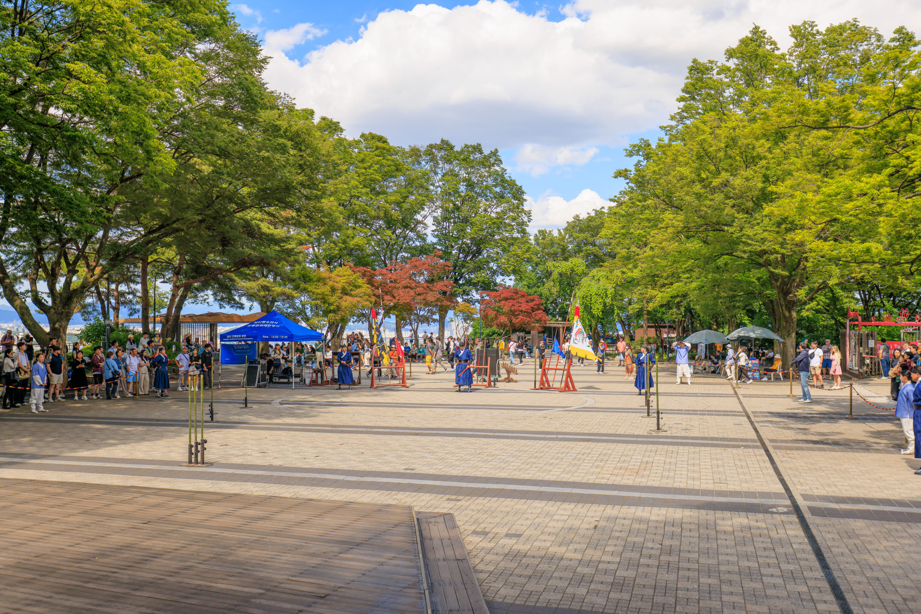
Next, we saw some uniformed soldiers, guards perhaps, arrive.
This next section of the performance began with a spear demonstration.
The second guard showed off some more moves with the spear.
Two guards replaced the first pair, with one of them demonstrating dual wielded swords. The second demonstrated the use of a single sword.
Another pair of guards replaced the last two, with the first demonstrating the use of what would probably be described as a longsword or greatsword in English. Or, a Zweihänder in German.
The second guard demonstrated the use a Woldo, a Korean polearm type weapon.
The final demonstration involved slicing bamboo with swords! Some of the cut sections of bamboo really went flying!
This was followed by a segment where spectators were invited to join the performance and try to spear bamboo! It appeared to be extremely difficult as the spears are long and wobbly!
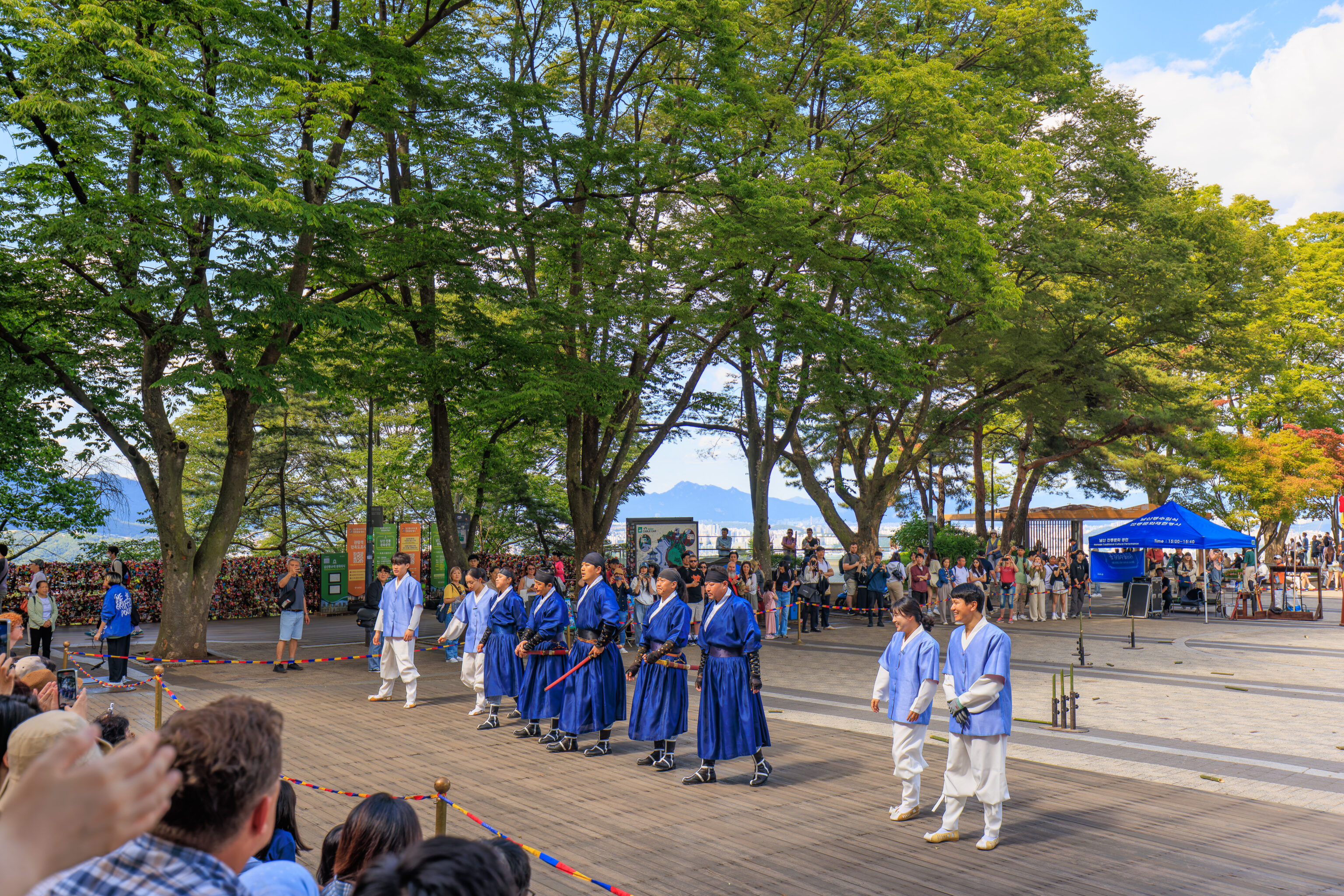
The performance lasted about 30 minutes and was better than expected!
We then went to find the entrance to go to the top of the N Seoul Tower. The base of the tower contains multiple floors, including outdoor areas. We came across this view to the east. From here, we could clearly see the Han River, which runs through Seoul, and the LOTTE World Tower in the distance. Also visible below is a bit of one of the pink Namsan busses!
Soon, we found the entrance to the N Seoul Tower Observatory. It wasn’t busy so we were able to quickly go up in an elevator.
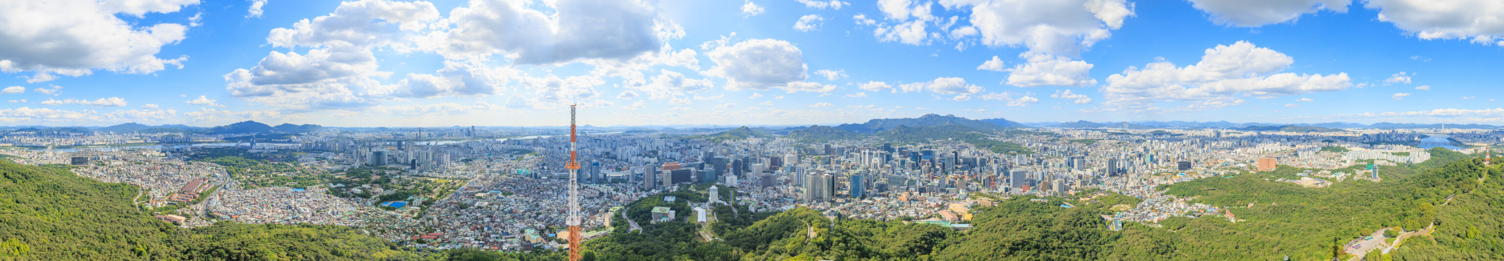
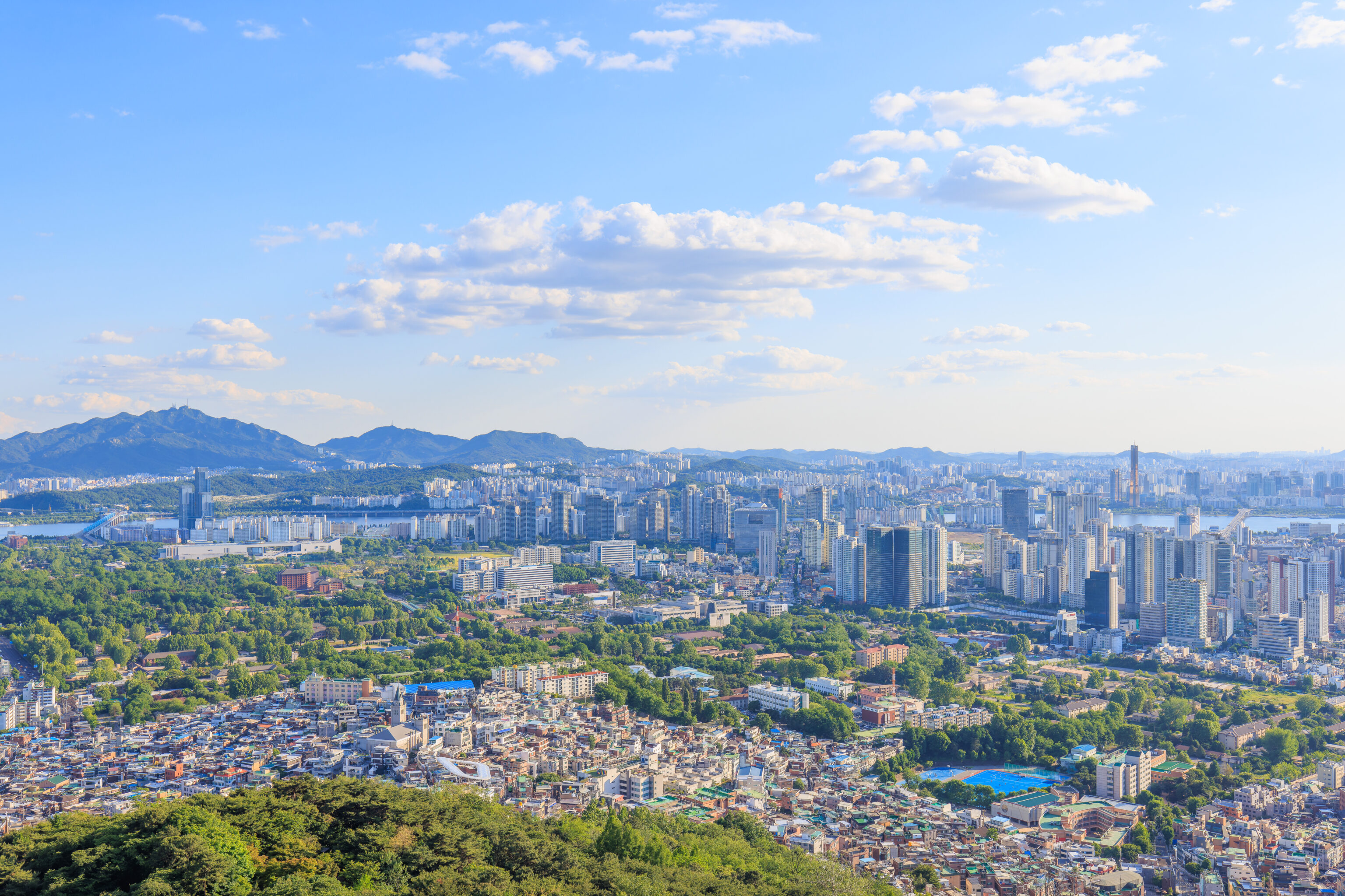
We captured a 360° panorama from the observatory windows. The view from 1200 feet above sea level is fantastic! It isn’t as high as the LOTTE World Tower but is higher than all other viewpoints in the surrounding area.
We photographed from 39 different windows. They are all in the carousel above in sequential order. There were some windows that needed to be skipped due to obstructions.
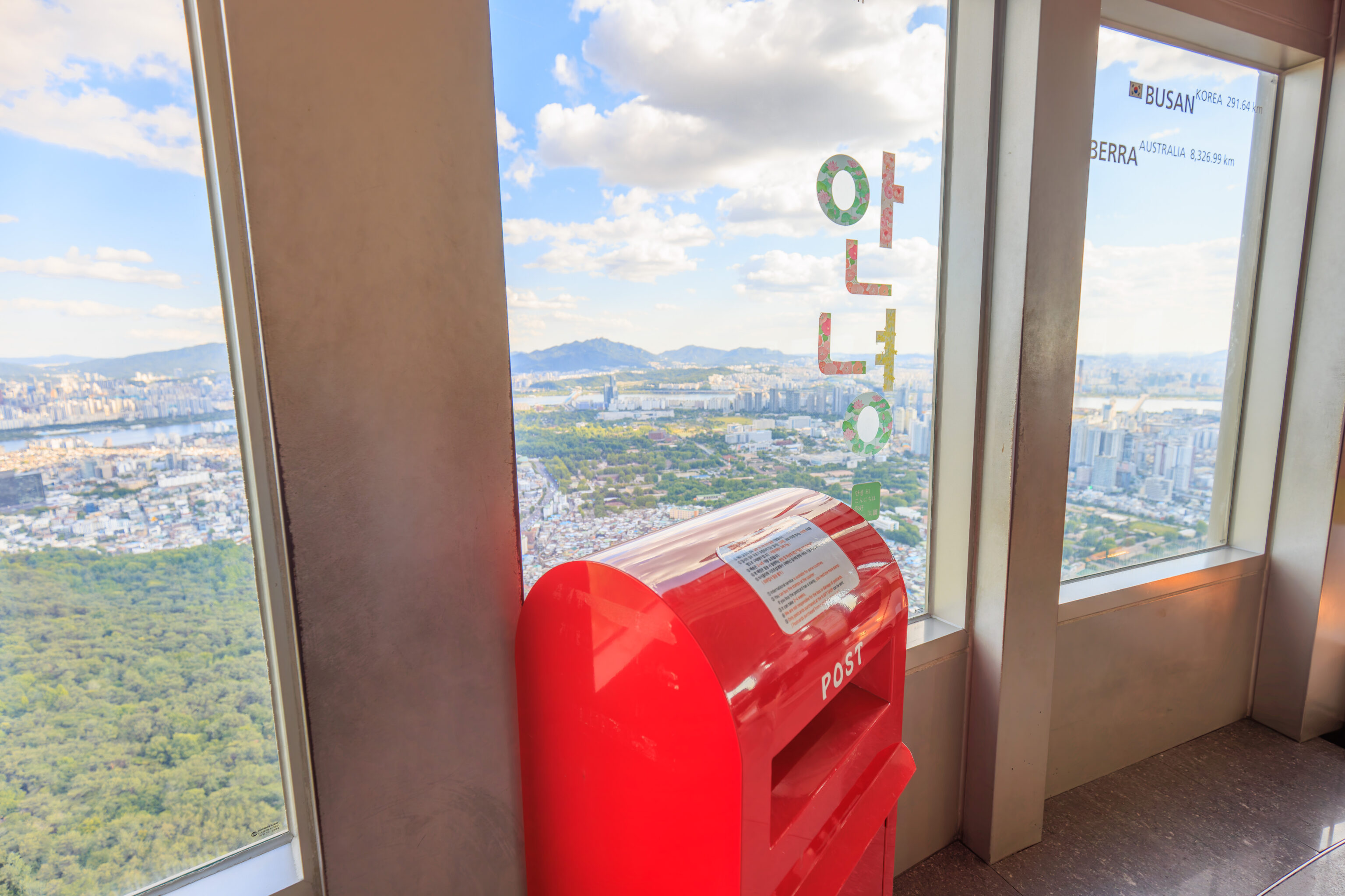
There is a postbox, which we used to send postcards from the gift shop!
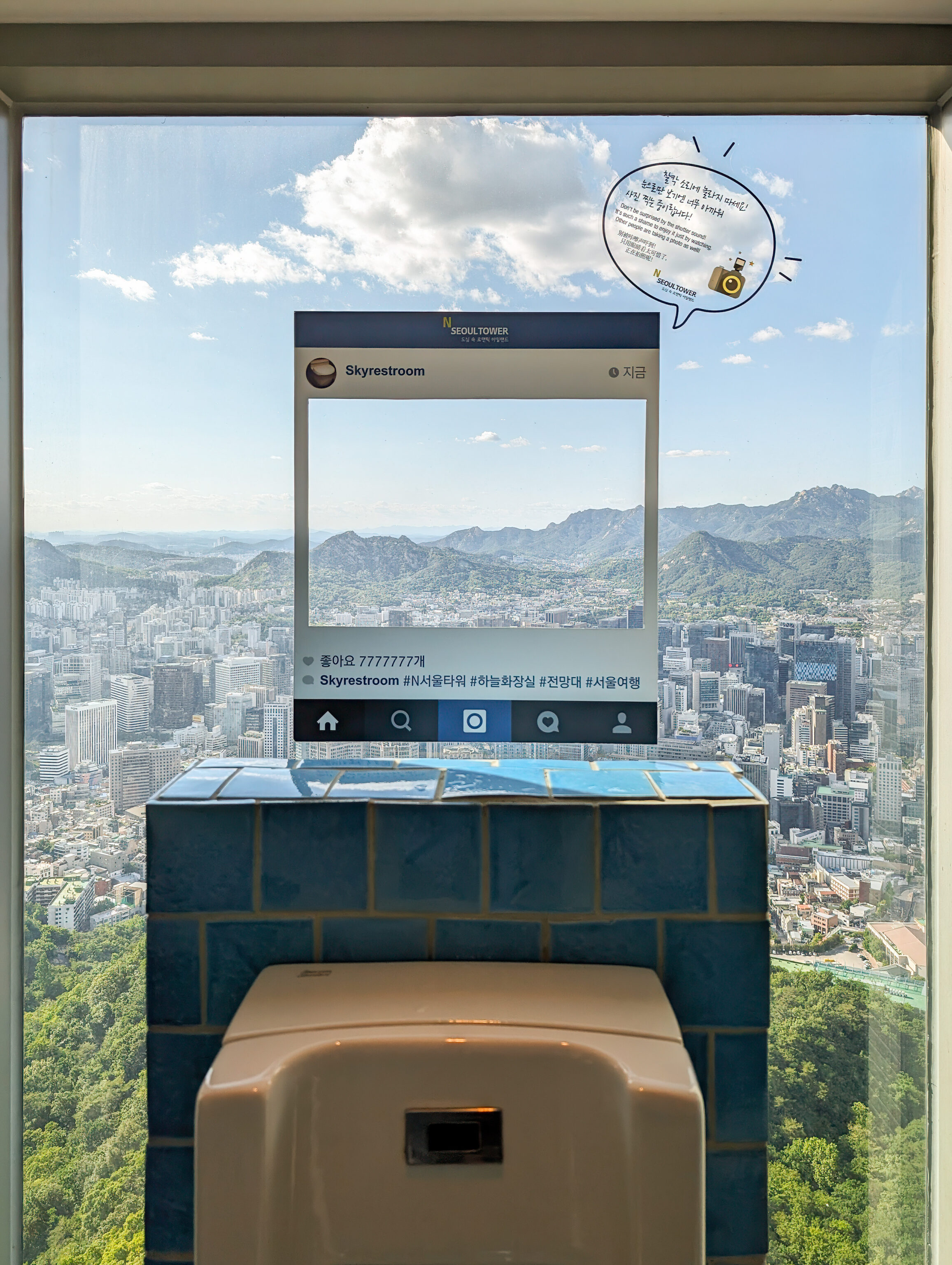
The bathrooms are, well, Instagrammable.
We ended up spending a bit more than an hour at the observatory level before descending.
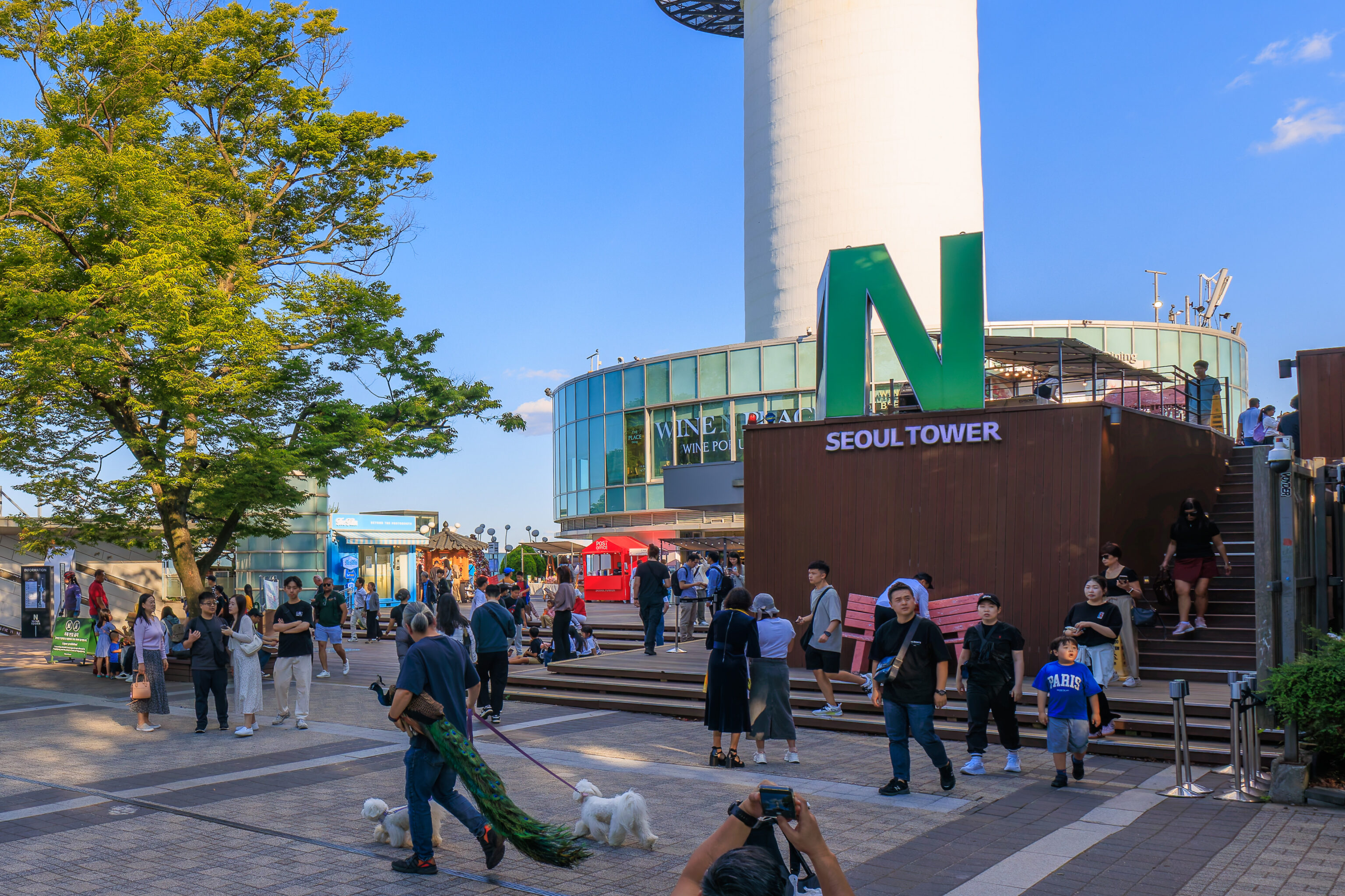
We did encounter, at the plaza by the tower, a man walking by with a peacock! Truly unexpected!
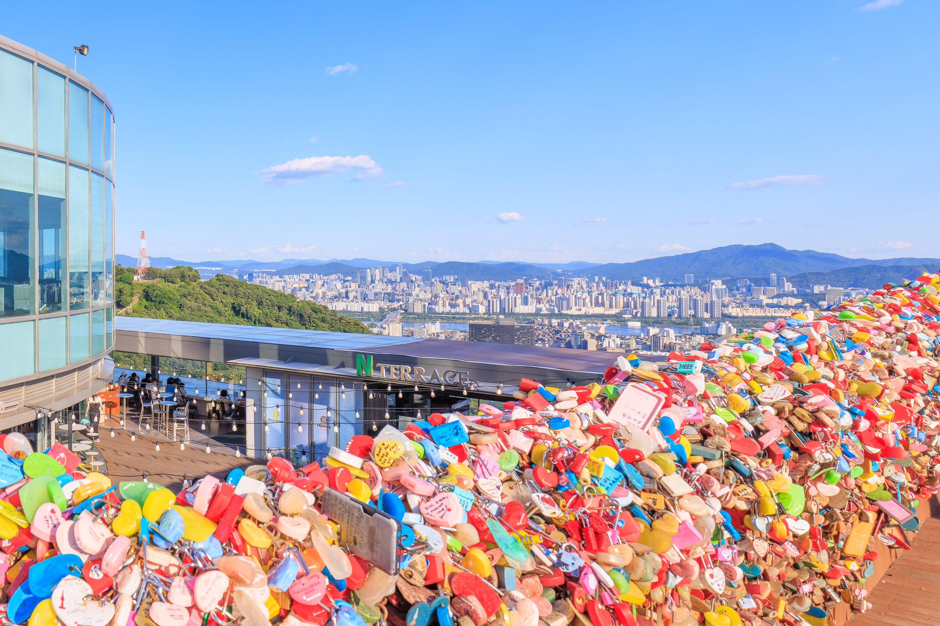
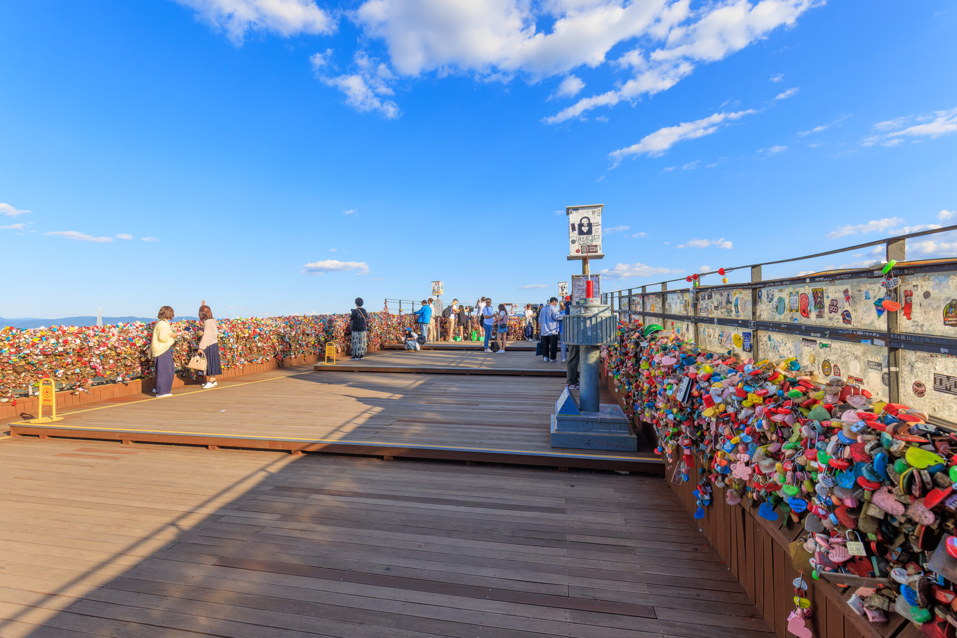
There is an outdoor deck on the west side of the tower’s base where visitors can buy a lock and attach it to the fence.
The deck has a good view to the south and west.
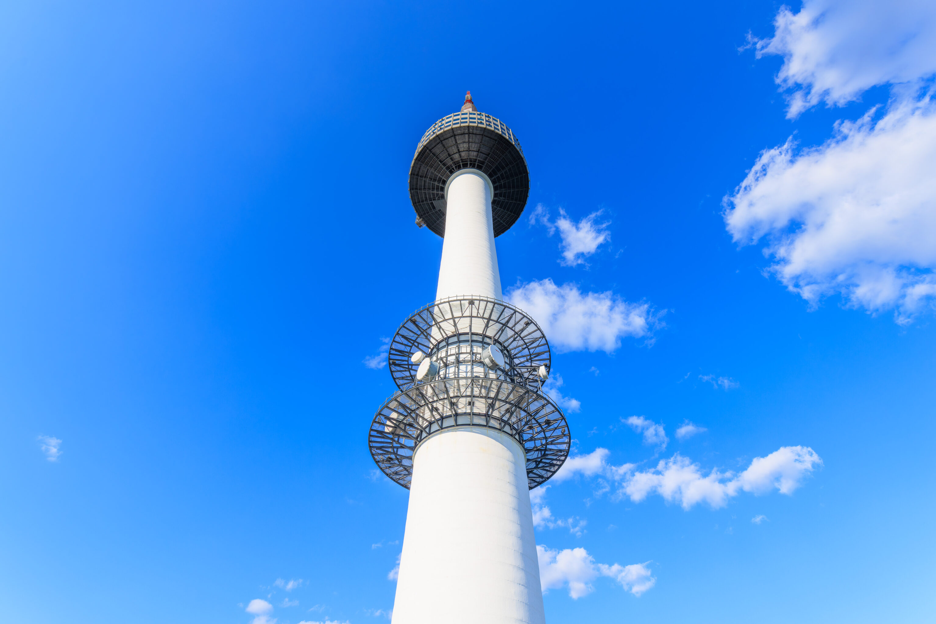
The tower, as seen from the deck below.
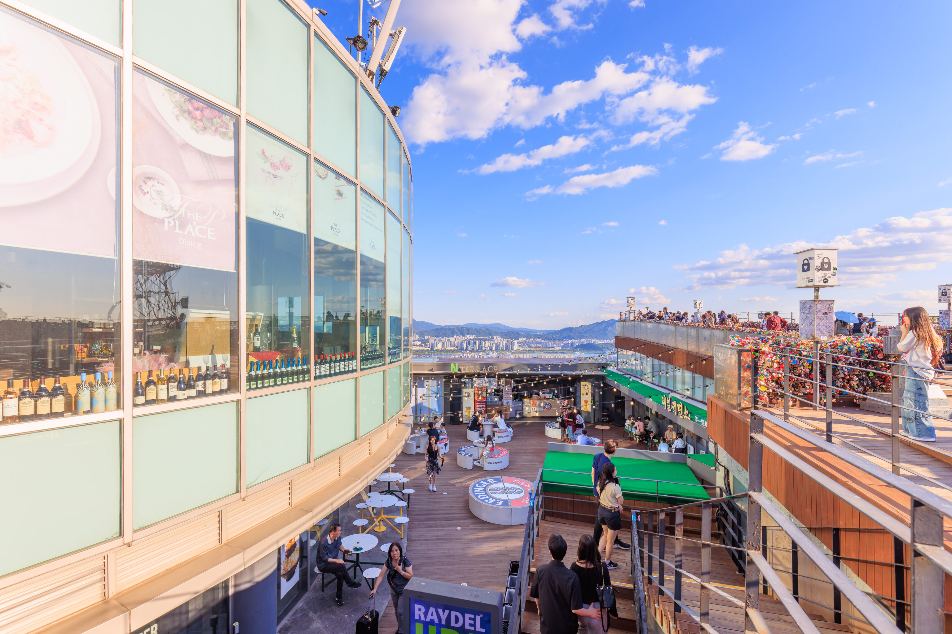
The floor below the deck has various dining and drink options.
Hongdae
We headed back to the bus stop to take the line 1 bus to City Hall where we could catch the subway back to Hongdae. It took awhile to get to City Hall as by now it was the weekday rush hour.
The Hechi themed line 1 busses have a tail!
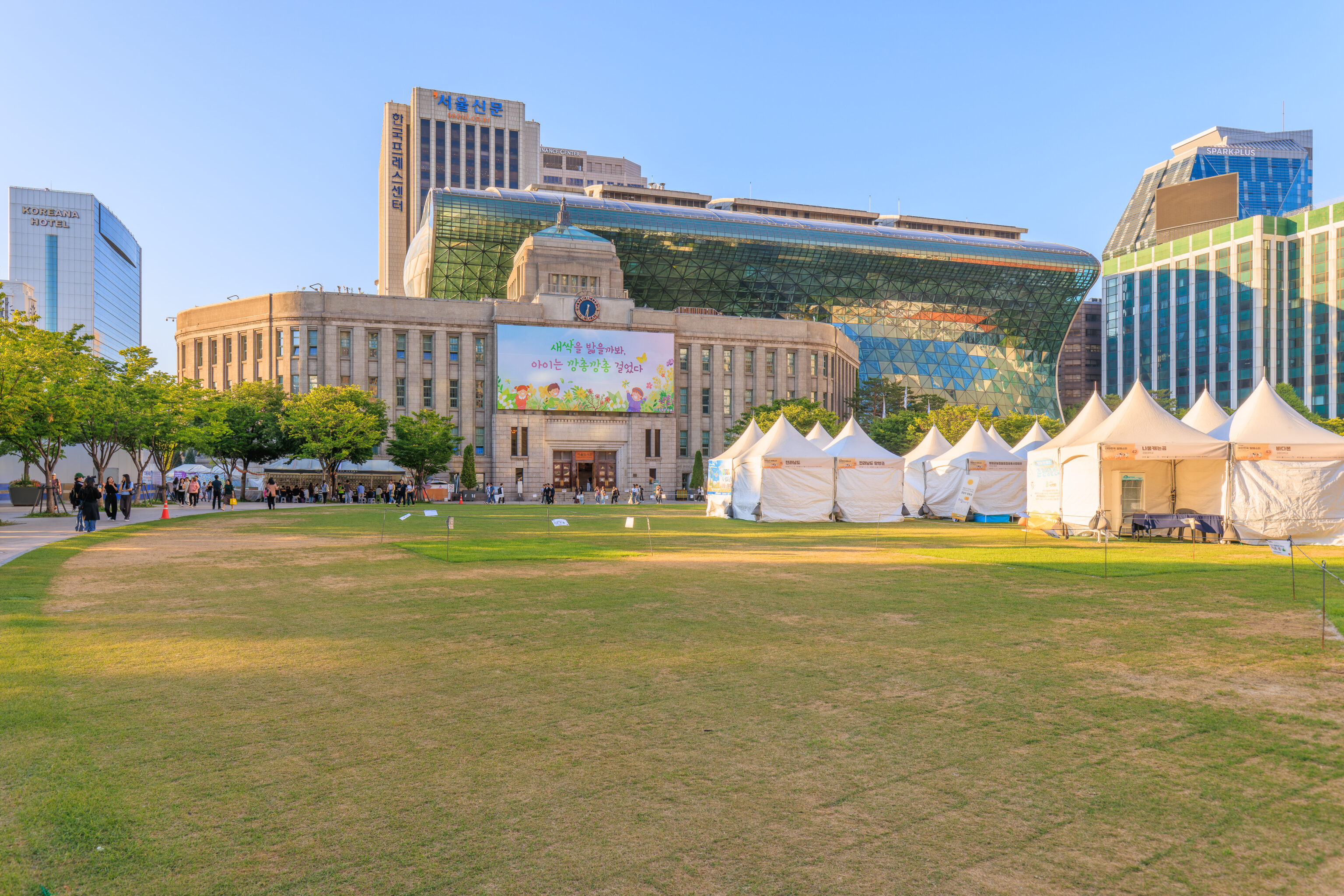
We briefly took a look at City Hall. We walked by it on our first full day in Seoul two days ago. The facility consists of a older building with a modern addition in the rear.
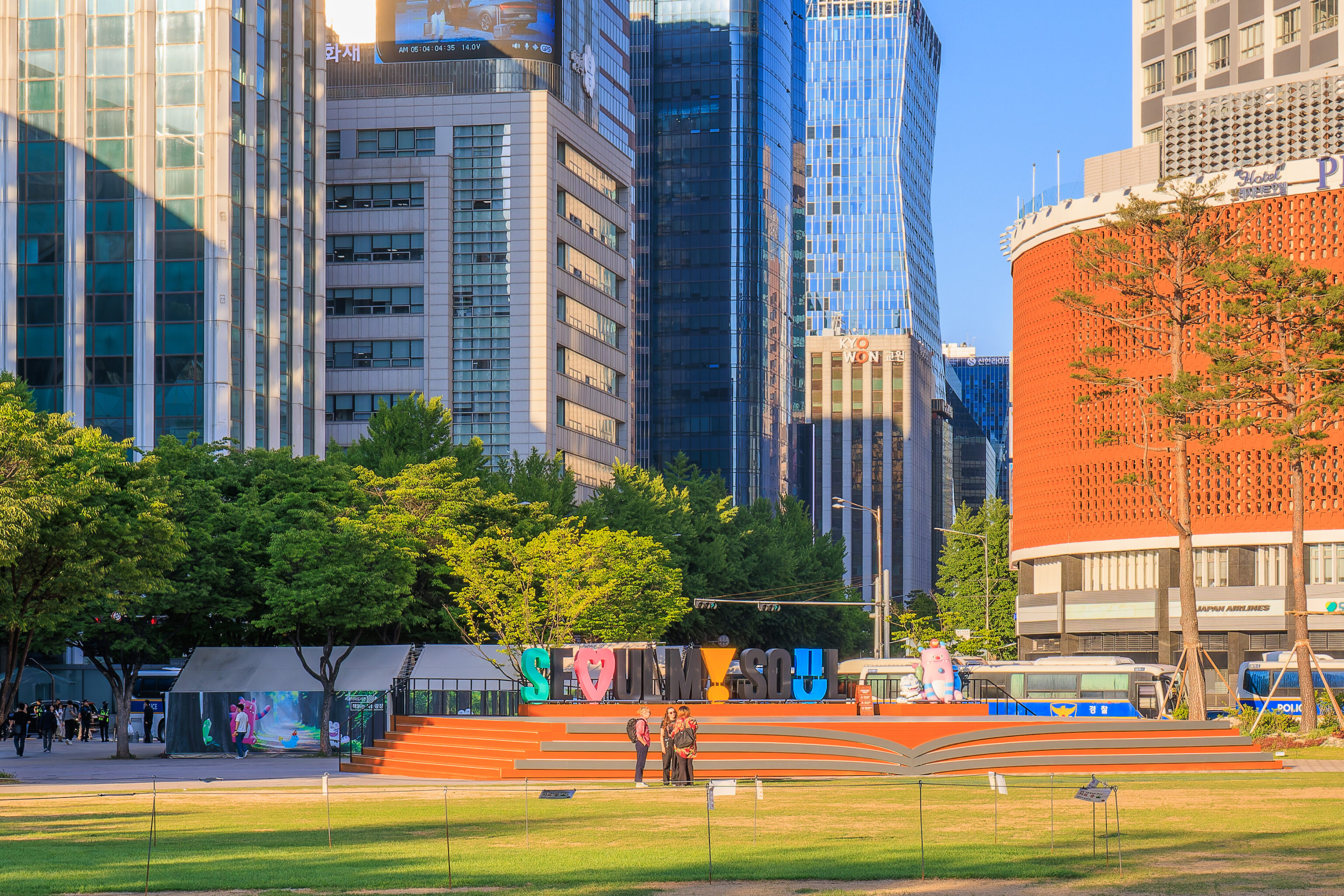
In the distance, we could see an Instagrammable Seoul My Soul sign, the city’s official slogan and branding.
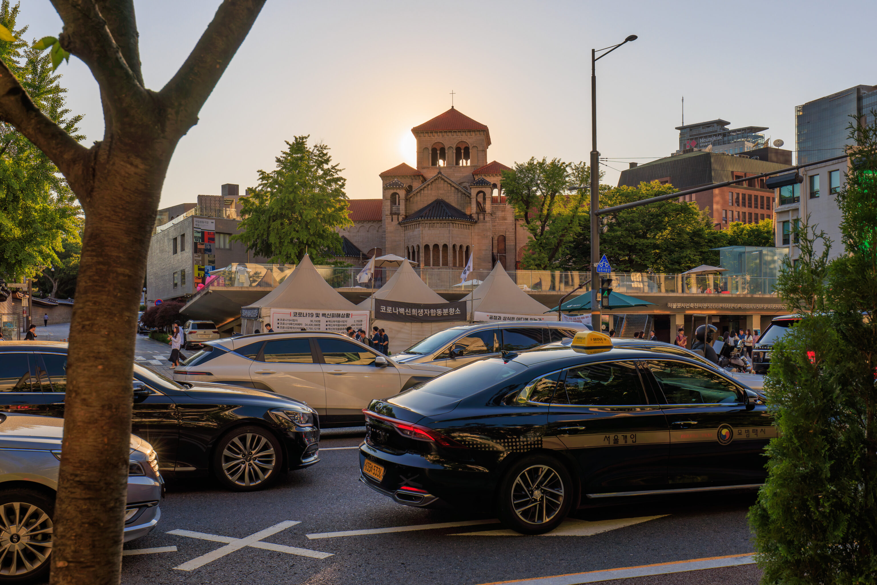
We noticed a Western style church across the street, the Seoul Anglican Cathedral of St. Mary and St. Nicholas, as we walked to the subway entrance.
City Hall and Hongdae are both on line 4 (green), the circle line. This line is ridiculously busy in this area during rush hour, both in the morning and evening, about as busy as Tokyo rush hour. While the ride is significantly more stable than the New York City subway, it is a rougher ride than, as an example, Tokyo’s Yamanote Line. The internal design of the subway cars means that there is often nothing to hold onto when its extremely busy.
After arriving at Hongdae, we went to find something to eat. Hongdae is a university area and is quite lively in the evenings. Although it was now our 3rd night here, we hadn’t spent too much time exploring in the previous two evenings due to being tired.
We wanted to try some bibimbap, preferably, dolsot bibimbap, which is bibimbap in a hot stone bowl. It turns out to be not the easiest thing to find in an area filled with Korean BBQ, fried chicken restaurants, and bars! We ended up somewhere different than what we were trying to find.
Baengnyeon Dodam Stone Pot Rice serves dolsotbap, basically a stone bowl with rice. The way it works is that you first scoop the hot rice out of the stone bowl.
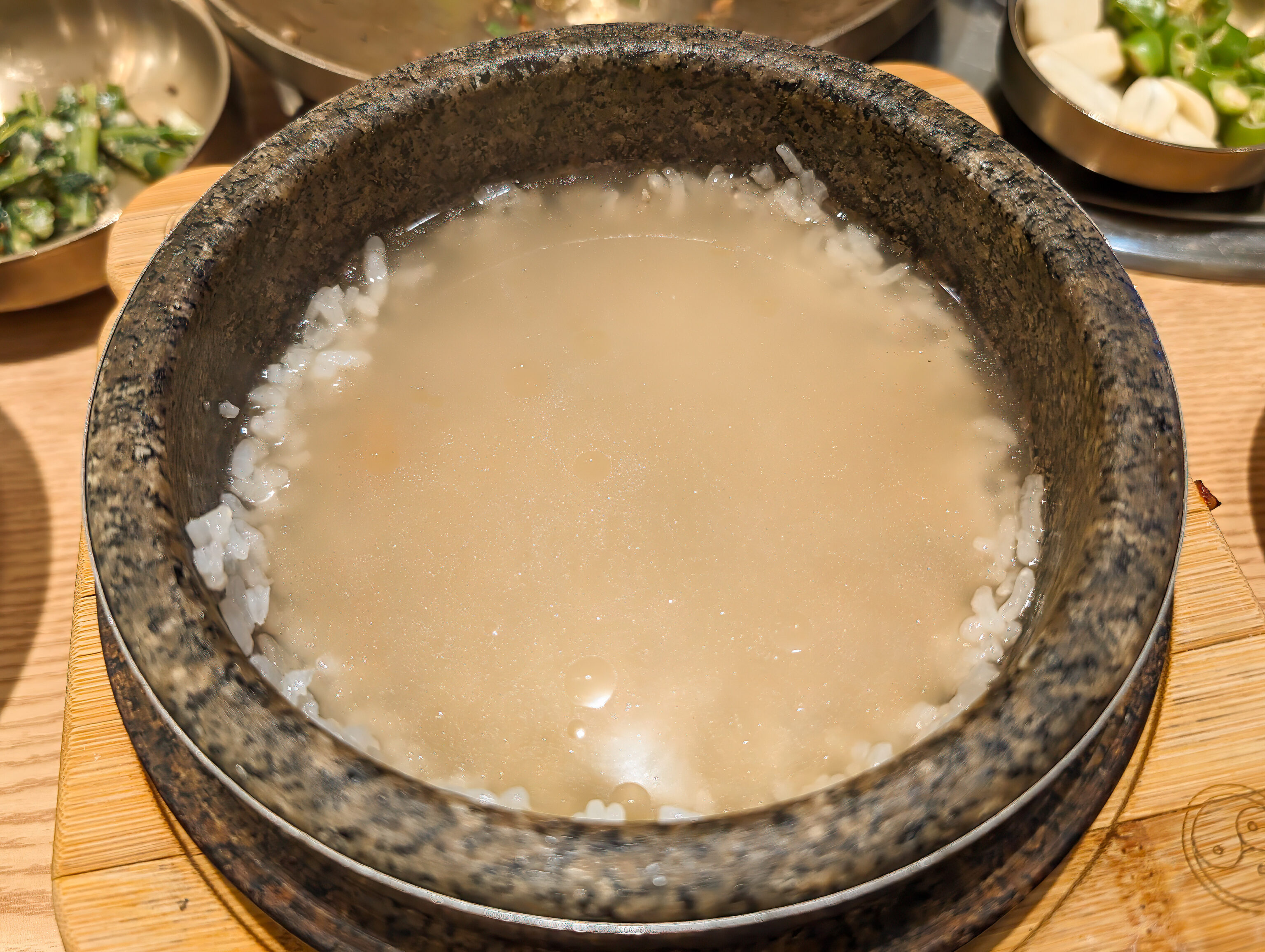
Then, you pour broth into the bowl and the remaining rice, which absorbs the flavor of the broth.
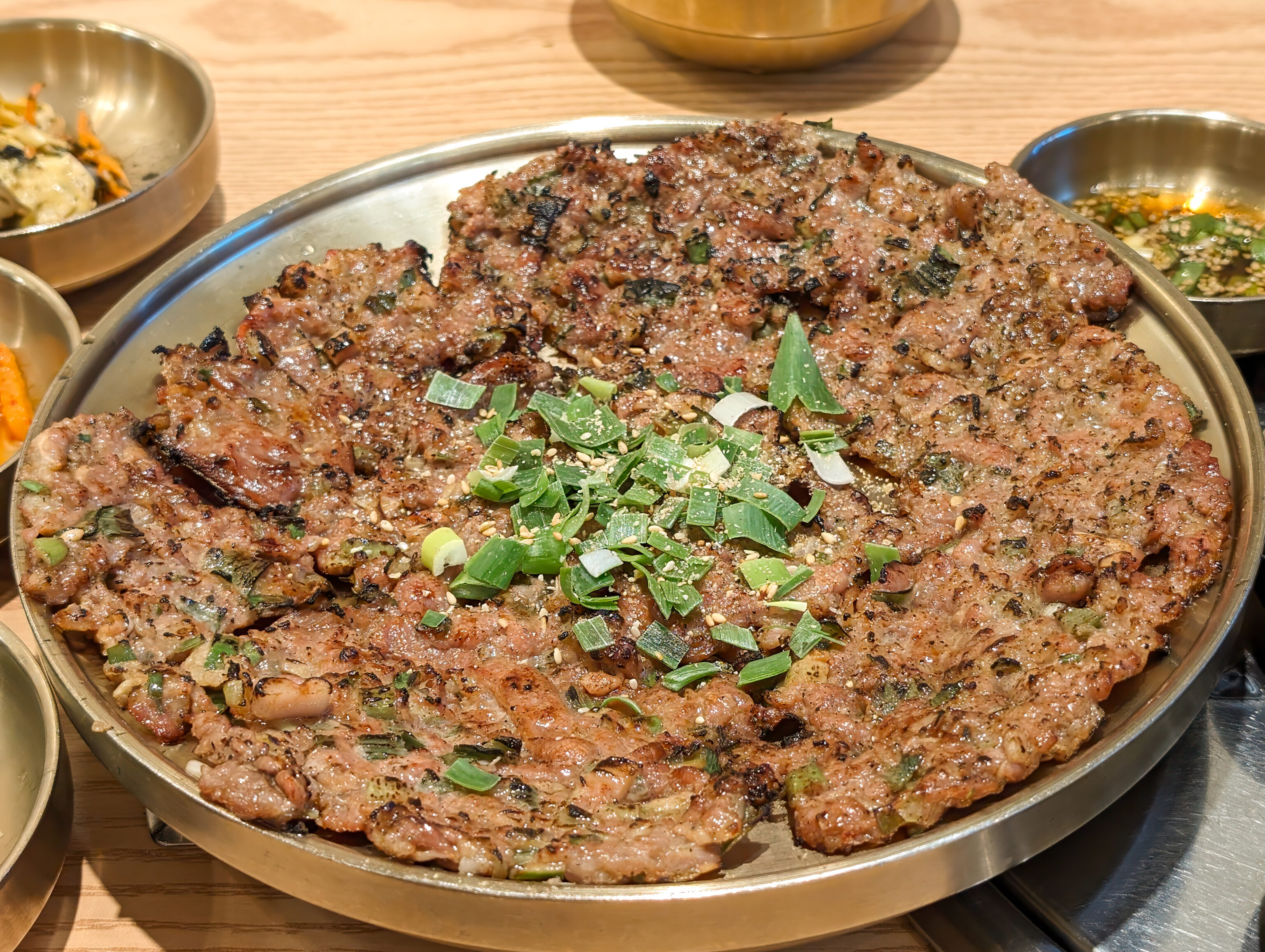
We ordered it with bulgogi.
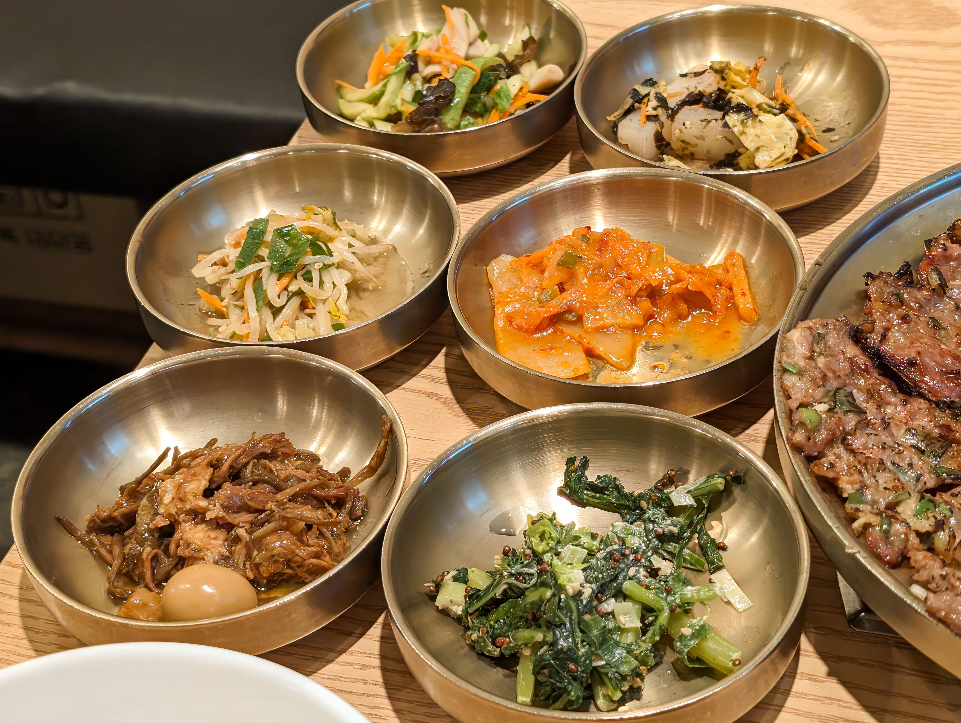
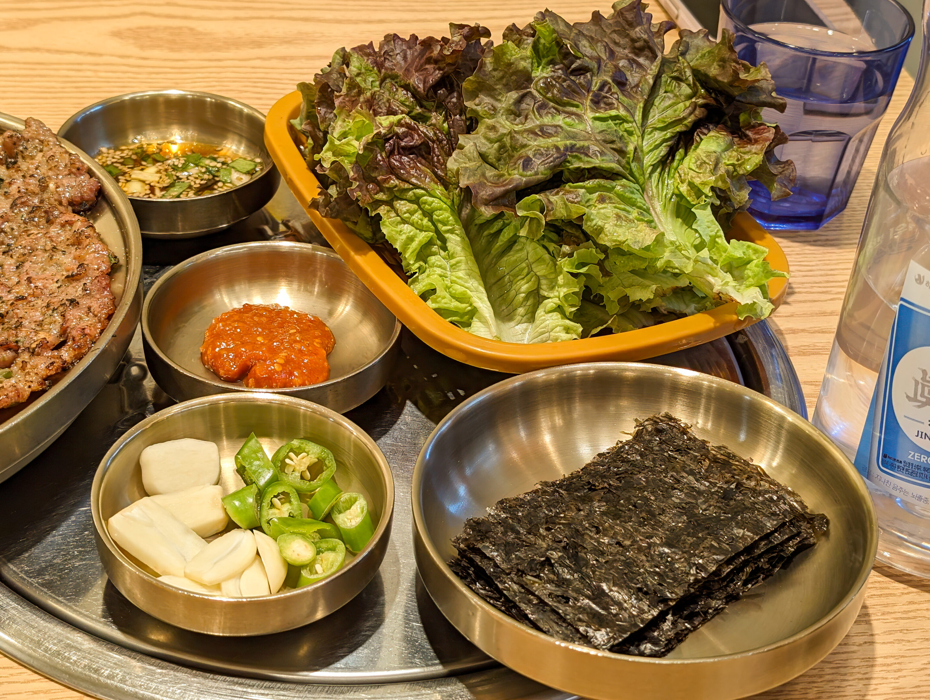
The meal also includes a variety of banchan as well as lettuce and other ingredients to go with the bulgogi, much like at a Korean BBQ restaurant.
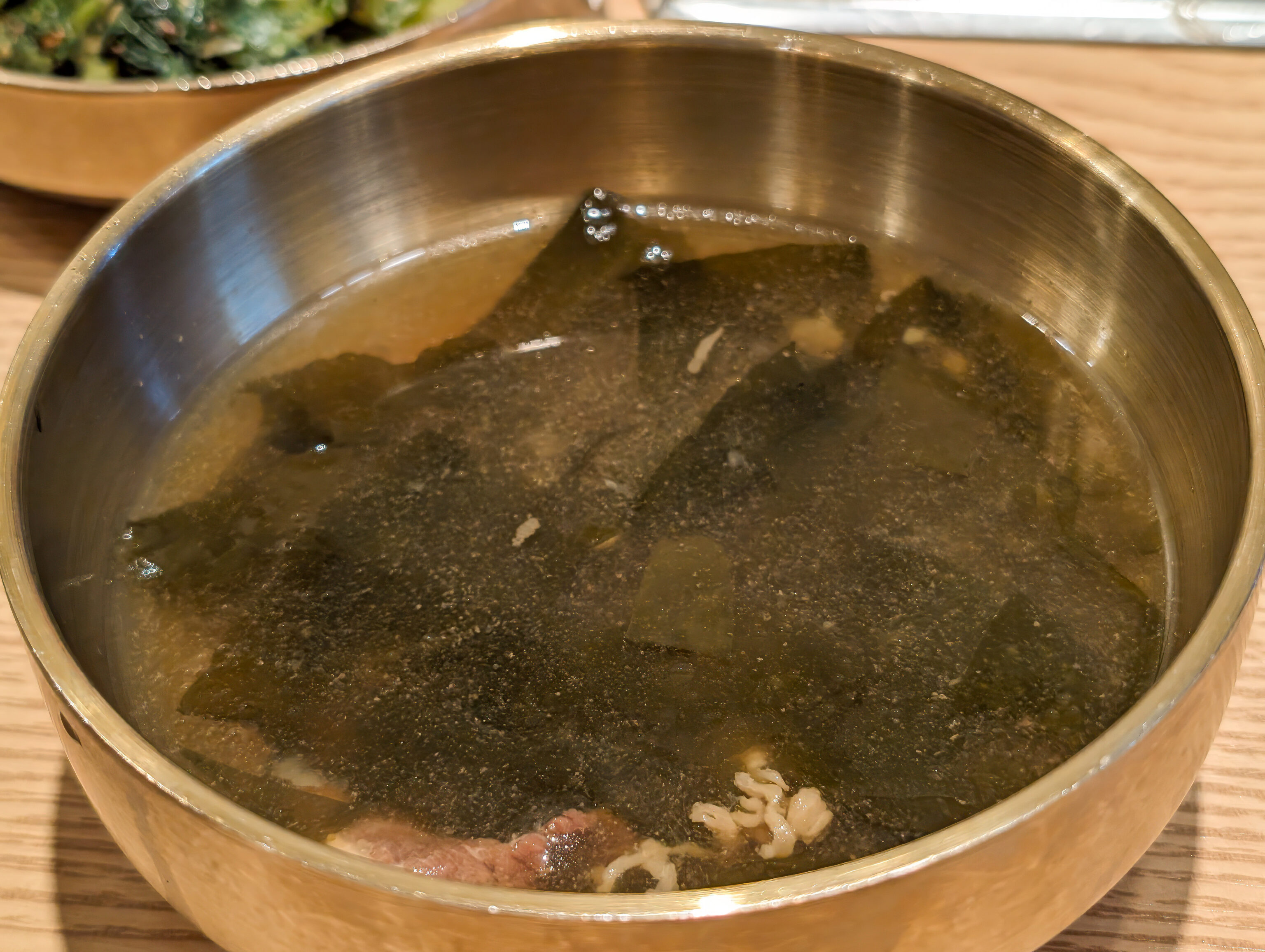
Seaweed soup was also provided.
Overall, it was an interesting and different meal, something we hadn’t had before. The broth for the rice was a bit bland though.
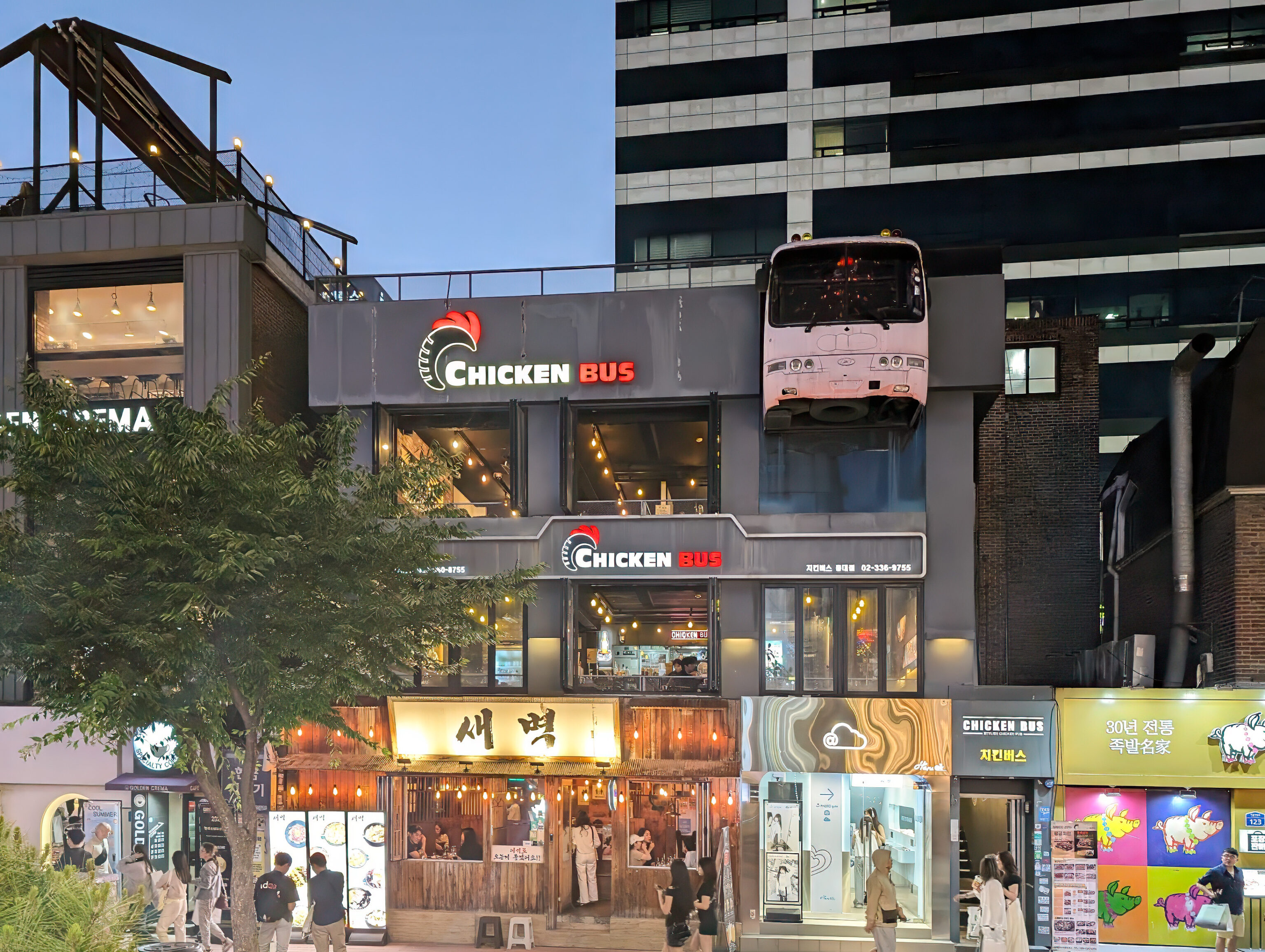
We walked by this Korean fried chicken restaurant, Chicken Bus. Yes, they have what looks like an actual bus! Their ratings on Naver Maps is pretty good at 4.12 but their Google Maps ratings are terrible at 3.7 and 3.0, depending on if you search in English or Korean. Anyway, we already ate so continued walking by.
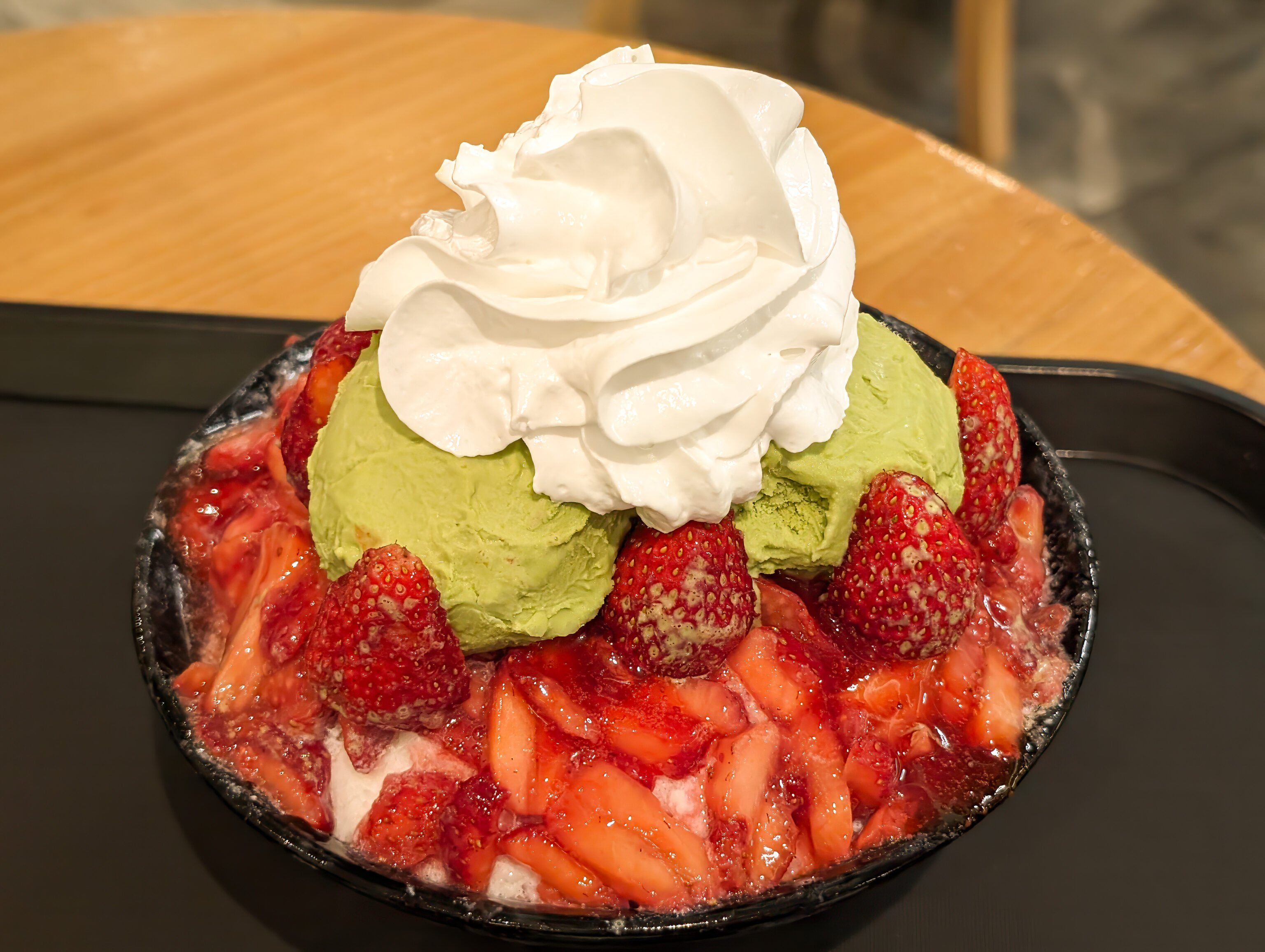
We ended up visiting Sulbing‘s Hongdae location for dessert, having visited their Myeongdong location yesterday. We got the strawberry bingsoo with matcha ice cream. It was, once again, excellent!
We ended up finding a sort shortcut to the RYSE, approaching from the street to the rear of the hotel.
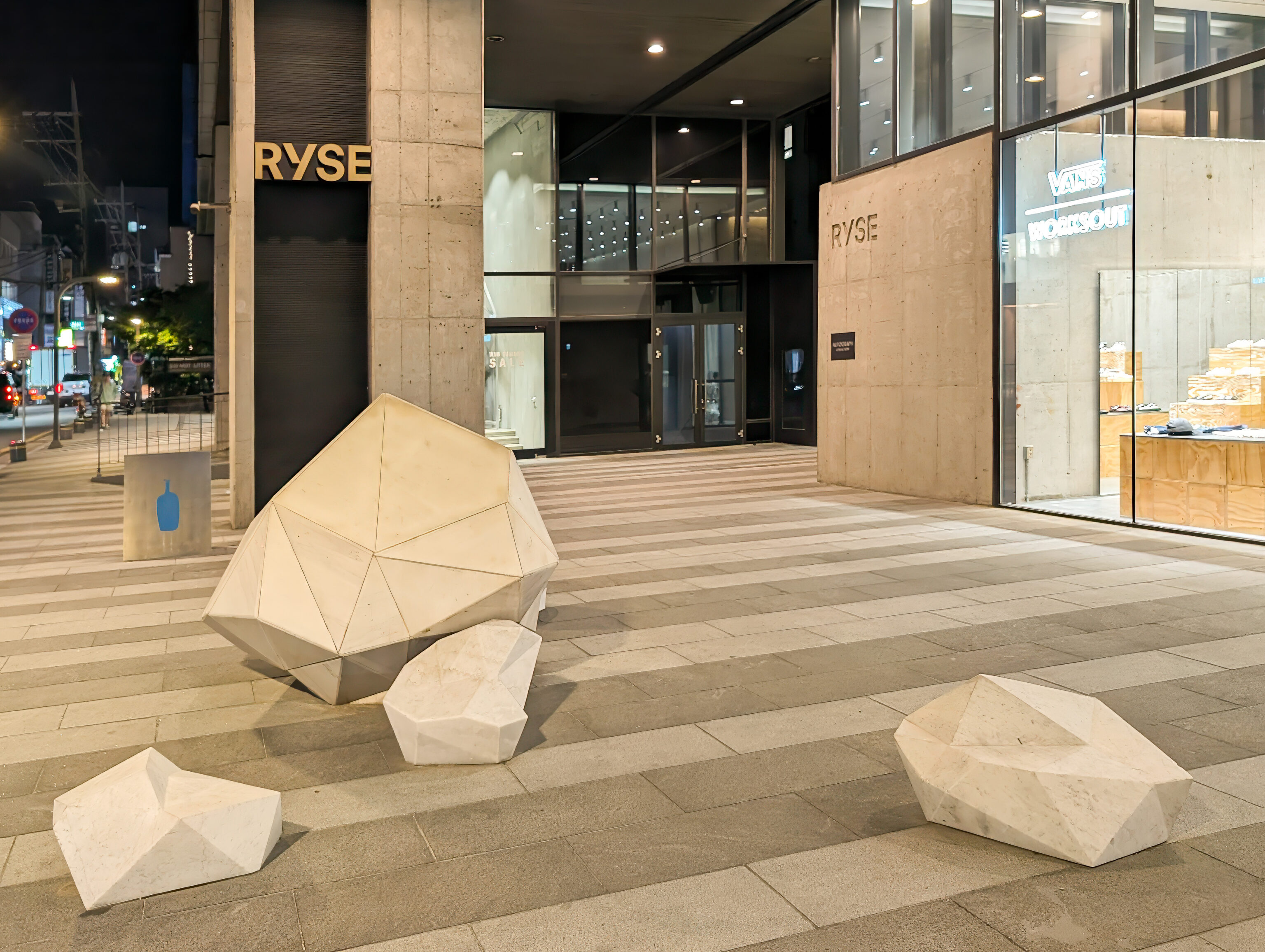
These rocks by the hotel’s rear entrance are an art installation titled Intended Sight by 오제훈 Oh Je-hoon in 2018. A plaque provides a description in English:
The rock inside the work, <Intended Sight>, is a reconstructed stone in which a natural stone was cut into thin plates and then reassembled again in the shape of a stone. Rather than undergoing a drawing process, the work takes the improvisational method of creating a single piece, then carrying on attaching other pieces to it as fits the surface, which results in the creation of a form that I myself had neither expected nor intended. Created through such process, this intentionally ambiguous substance that is a natural looking artificial object comes to exist before us filled with uncertainty.
It was pretty late by the time we returned, almost 9pm. Hongdae was still pretty busy though as we headed back up to our room to end the day.
- Wikipedia – Dongdaemun Design Plaza: https://en.wikipedia.org/wiki/Dongdaemun_Design_Plaza ↩︎
- Wikipedia – Ediya Coffee: https://en.wikipedia.org/wiki/Ediya_Coffee: “As of 2019, the chain has 3,000 retail stores in South Korea.” ↩︎
- Wikipedia – 63 Building: https://en.wikipedia.org/wiki/63_Building: At 249.6 m (819 ft) high, it was the tallest building outside North America when it was opened on July 27, 1985 ↩︎