

After snorkeling in the morning and having brunch at Pika’s Cafe, we decided to do a drive around Guam. The weather ended up being rather rainy but we did stop at a few places along the way.
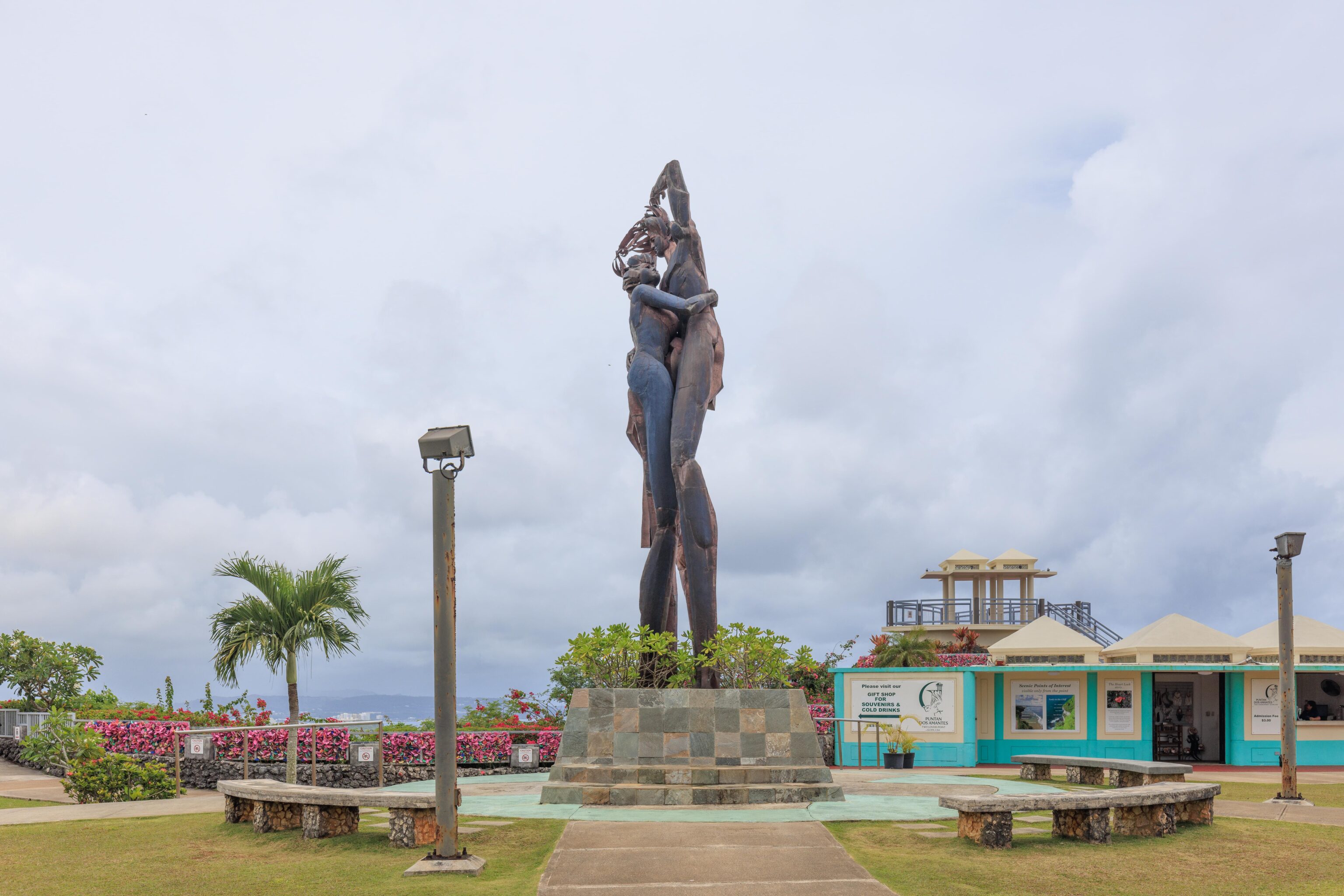
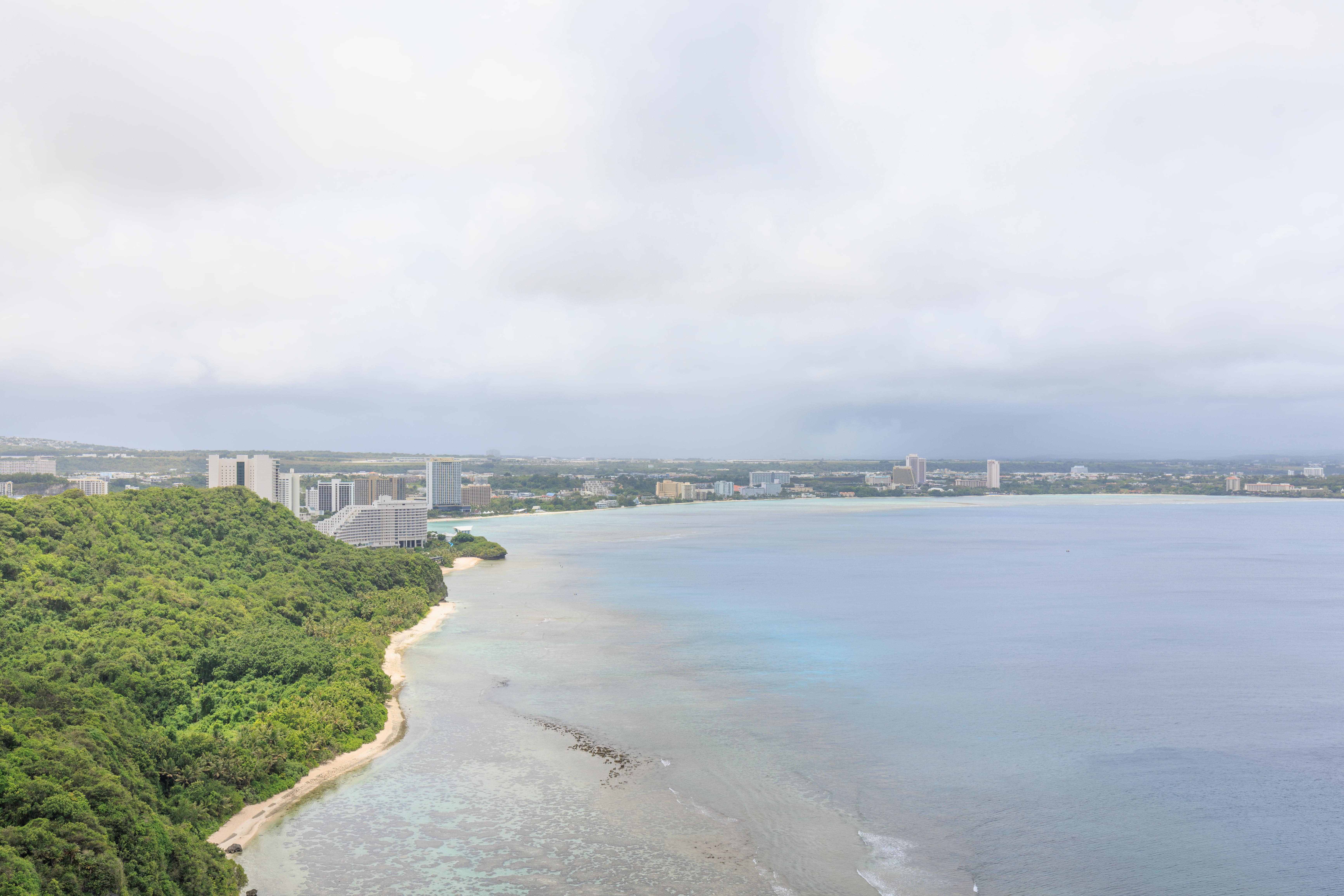
We started out at Two Lovers Point, north of Tumon Bay where all the resorts are located. It was raining a bit when we arrived and rained more heavily just after we paid the $3 per person to enter.

We waited a bit for the rain to reduce before heading up onto the Lookout Point. The view was fantastic with Tumon Bay in the background.
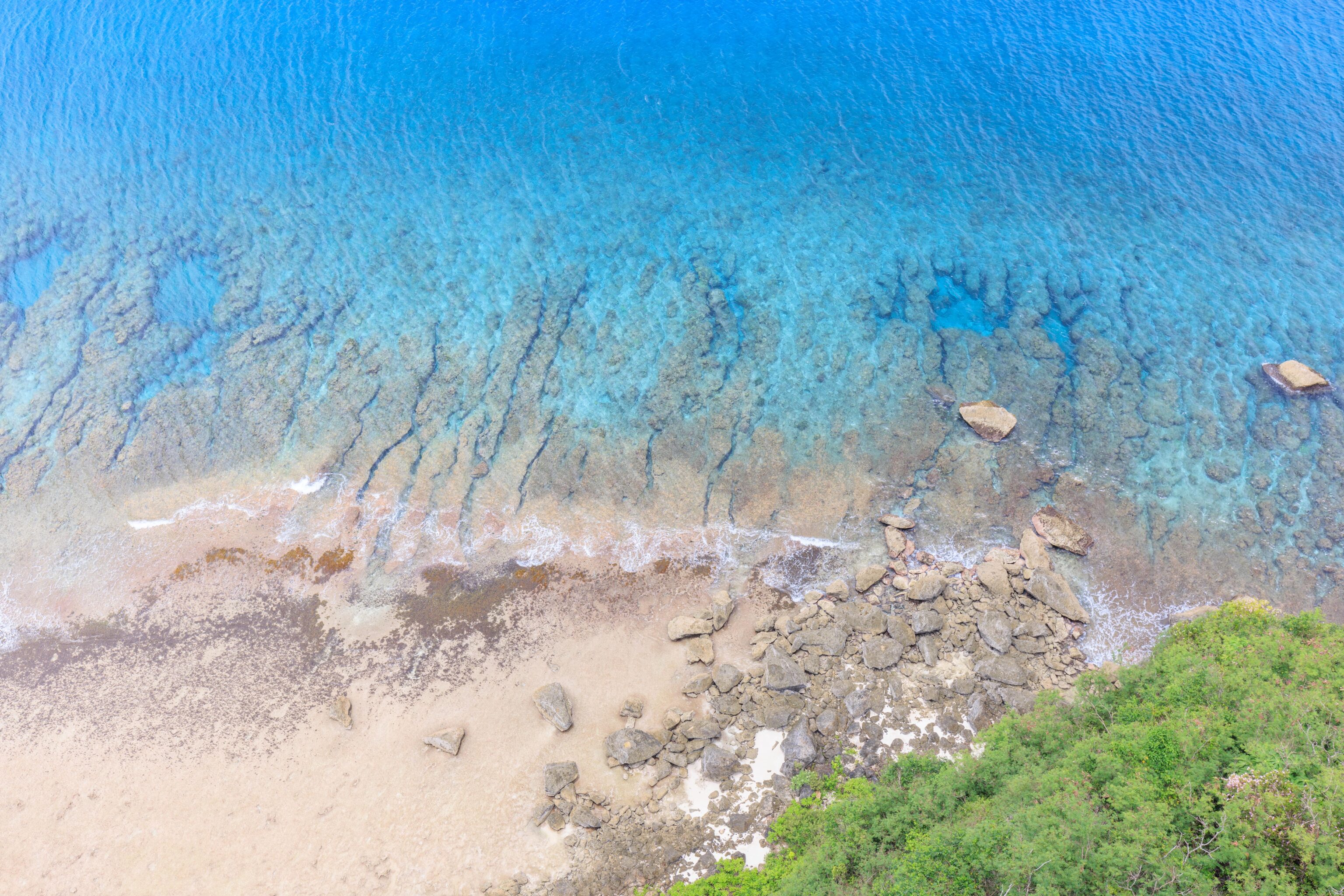
The shallow water below us was beautiful as well.

Visitors can buy hearts to attach to a fence using locks.

Our next stop ended up being the Asan Bay Overlook. This site is managed by the National Park Service as part of the War in the Pacific National Historical Park.
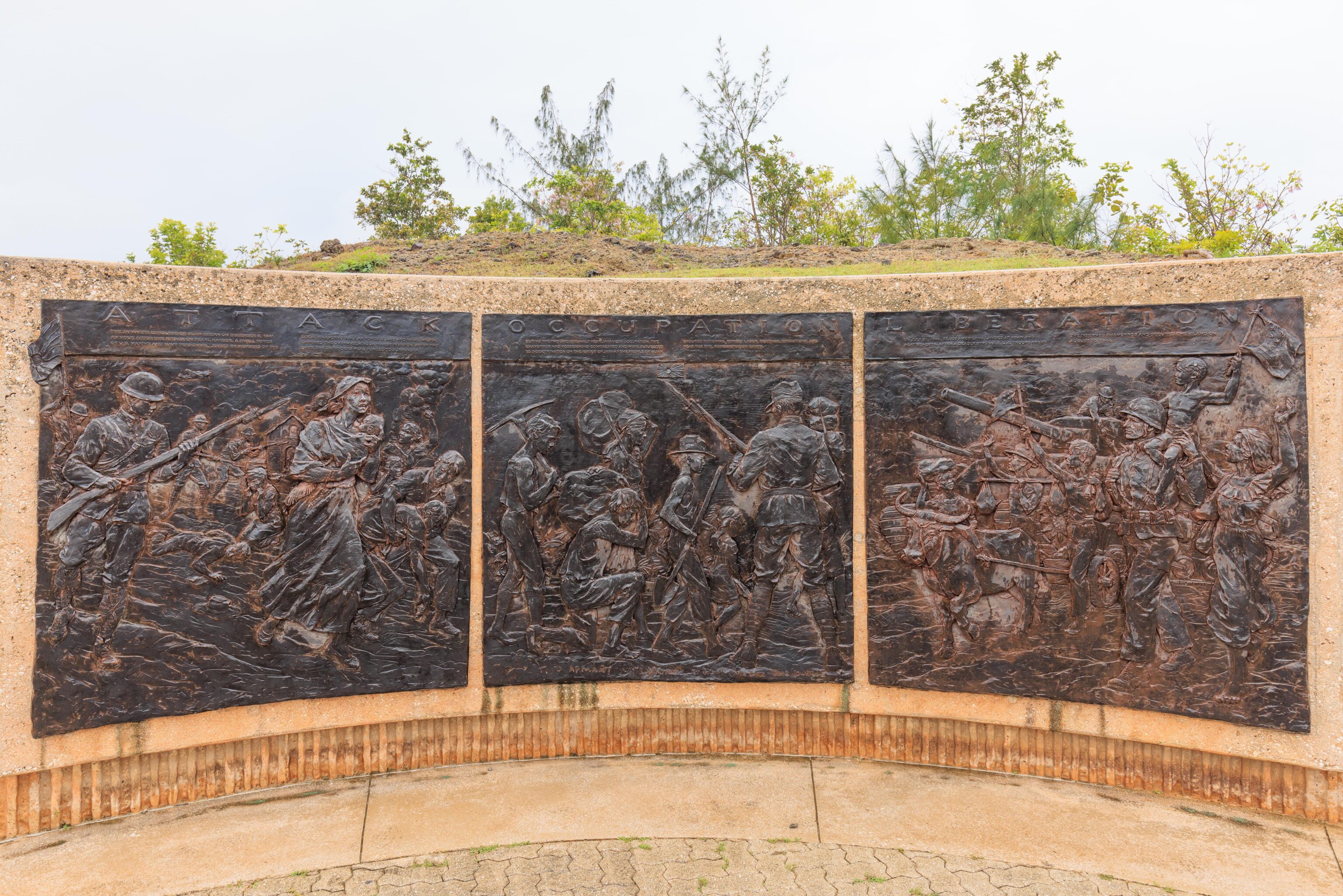
There are a few plaques depicting the attack, occupation, and liberation of Guam during World War II.
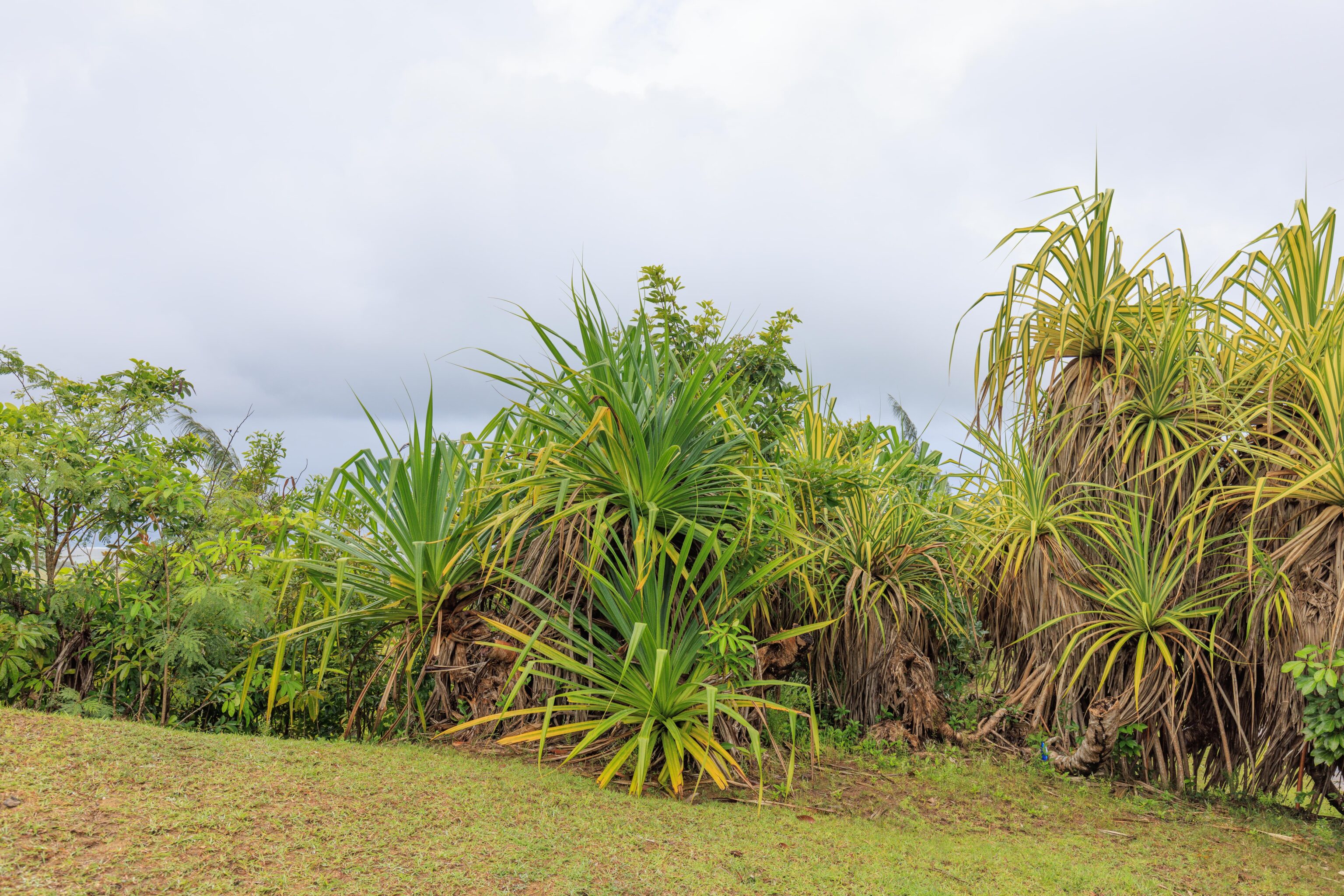
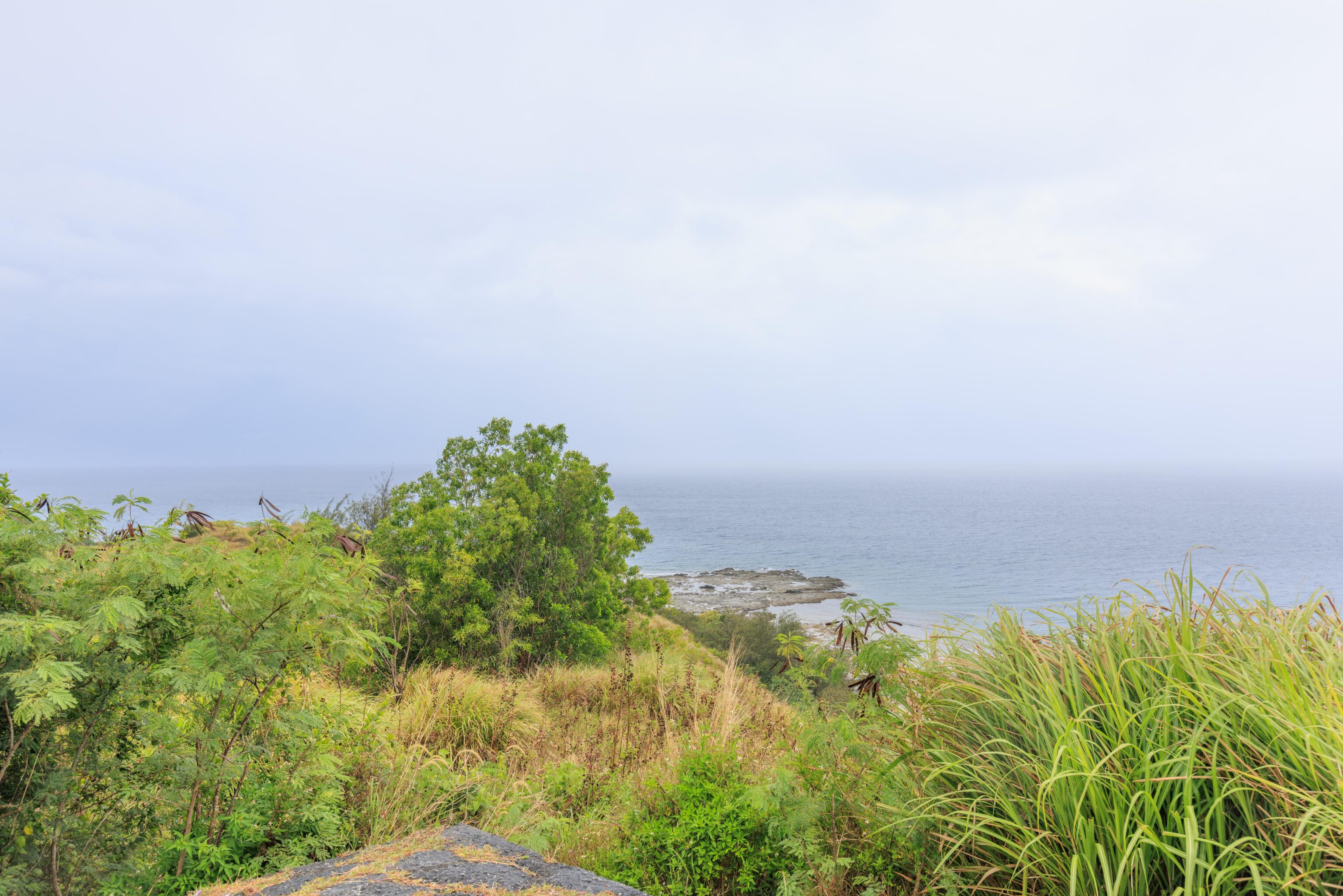
Other than the urbanized parts of Guam, there is green foliage everywhere.
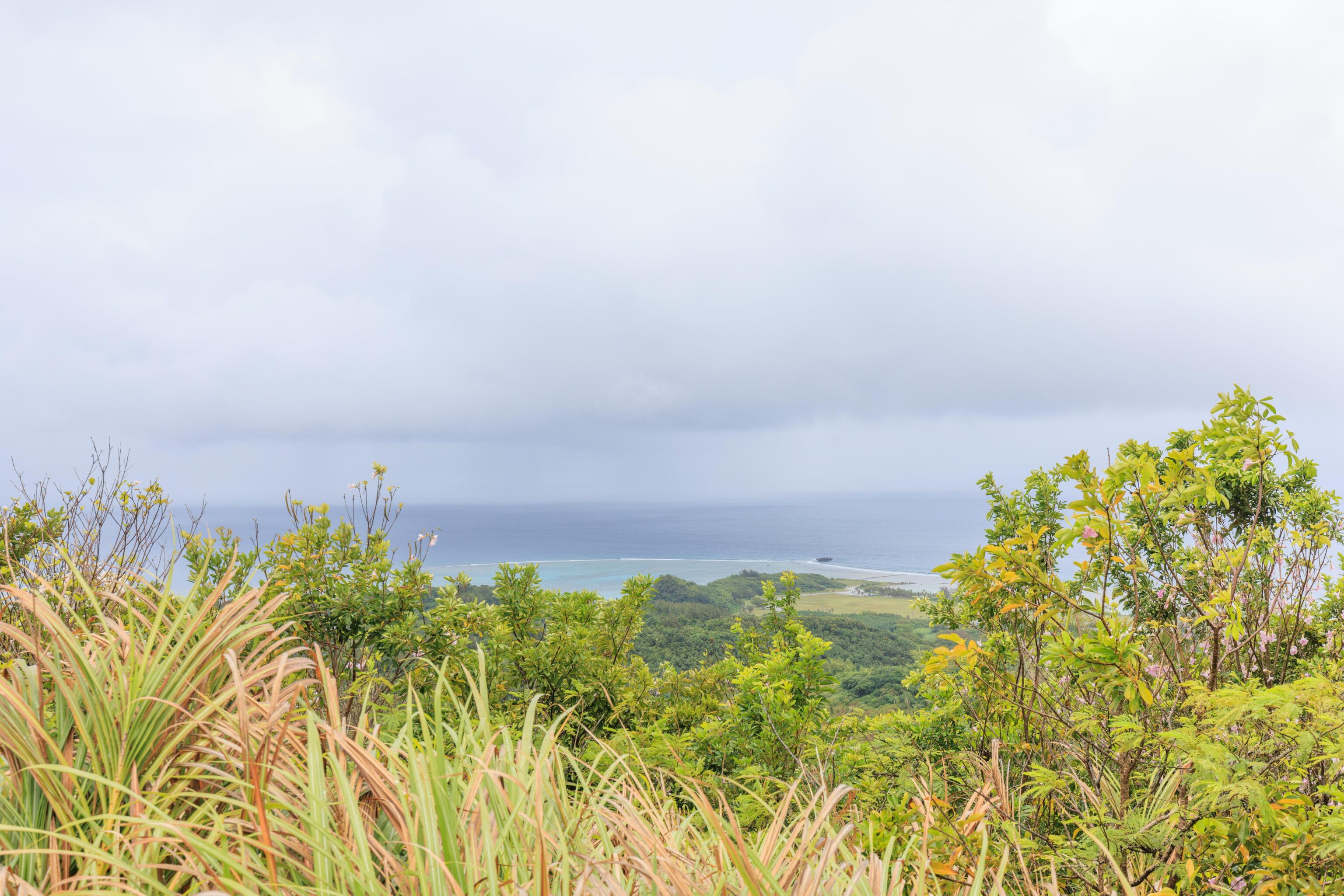
The overlook is located inland a bit on a hill. The views are obstructed somewhat by the foliage though.
Our next stop was the Magellan Monument, where Magellan landed in 1521, opening up Guam to contact with the western civilizations. The actual monument is just a simple obelisk and is roughly behind us in this photo.
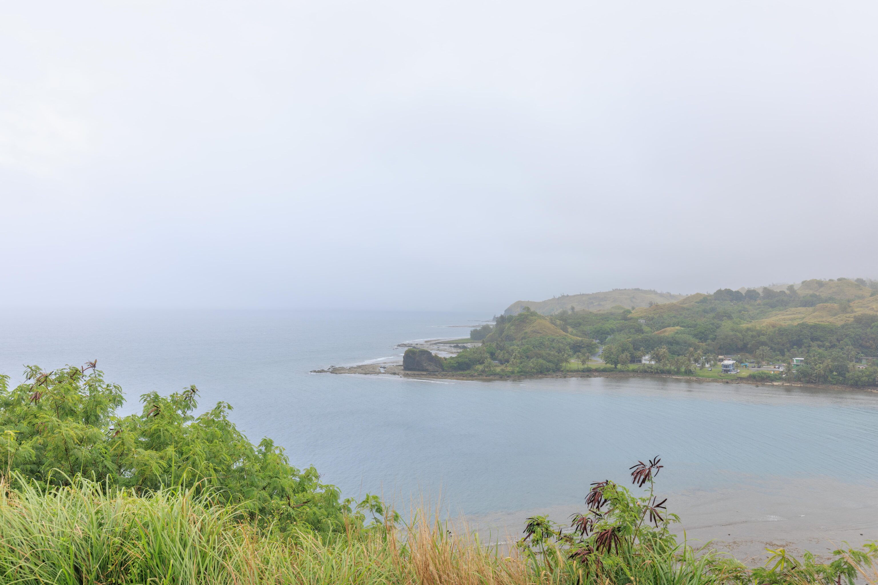
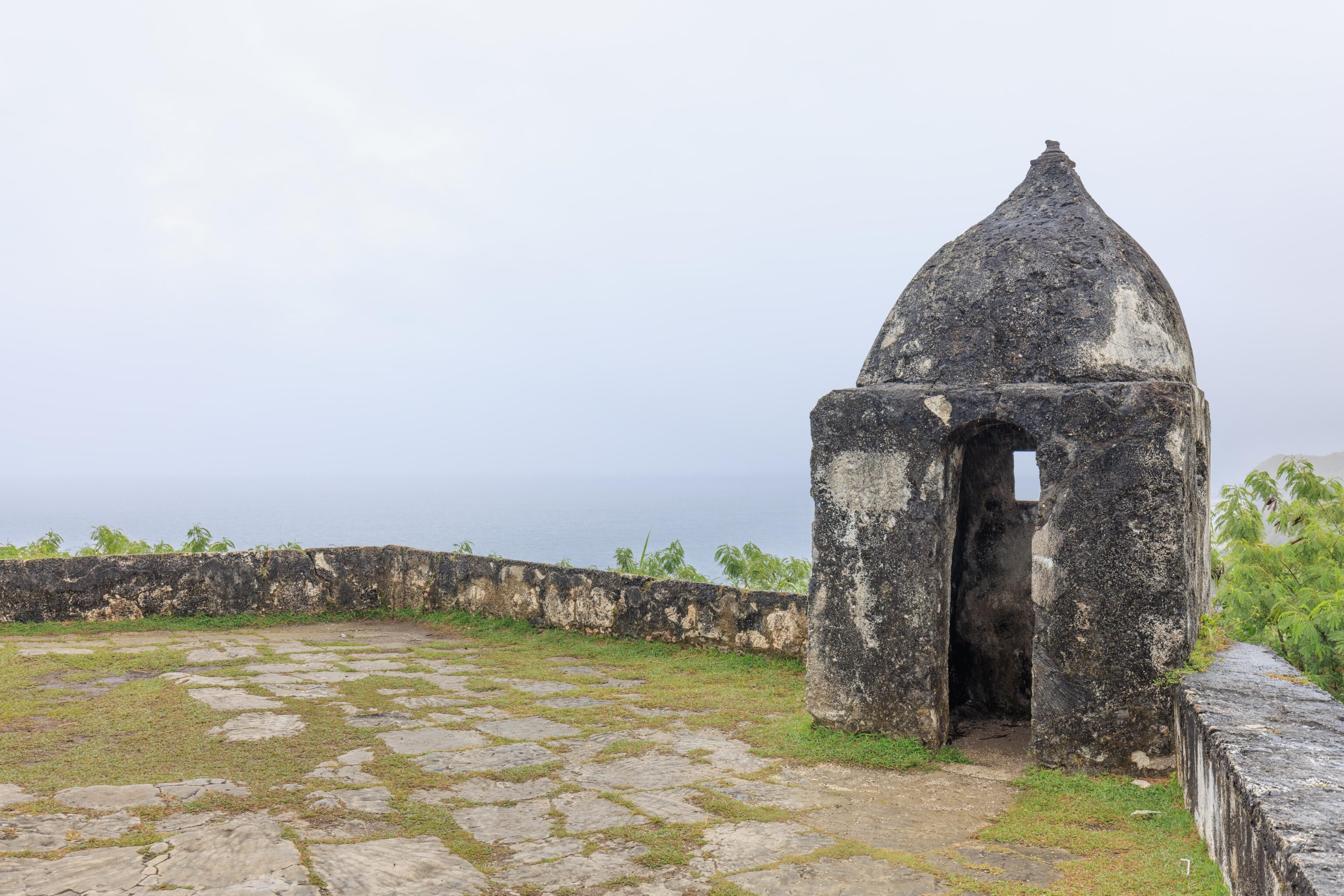
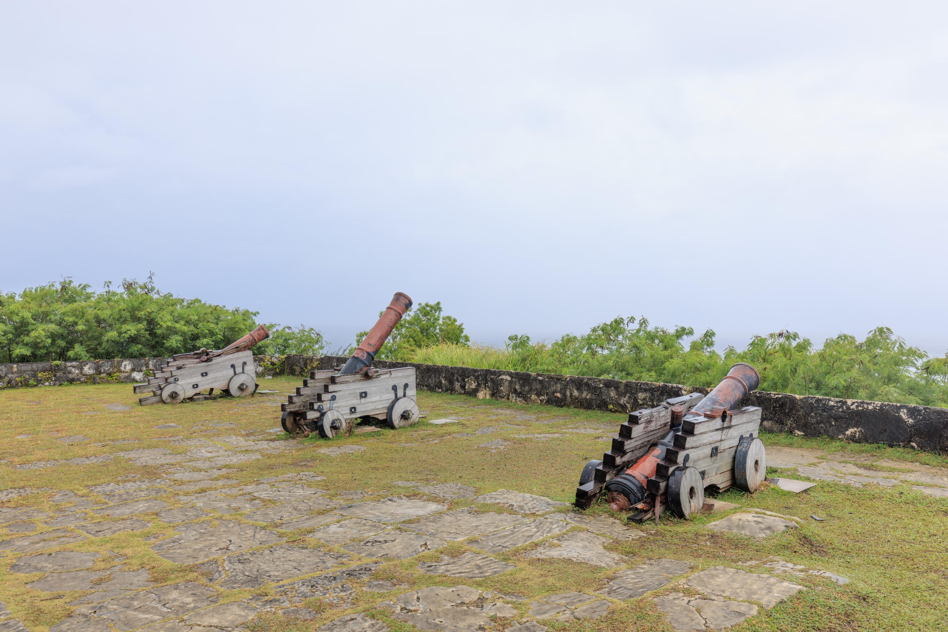
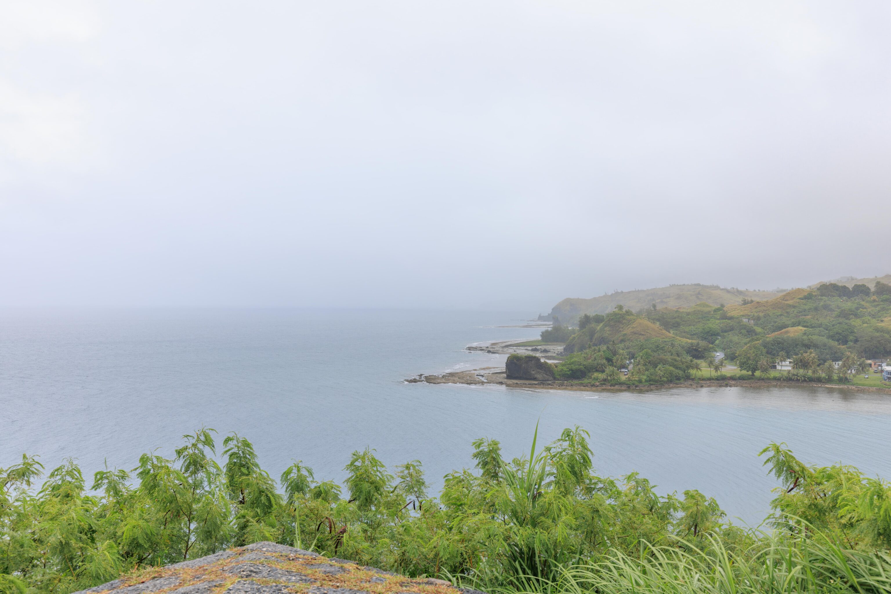
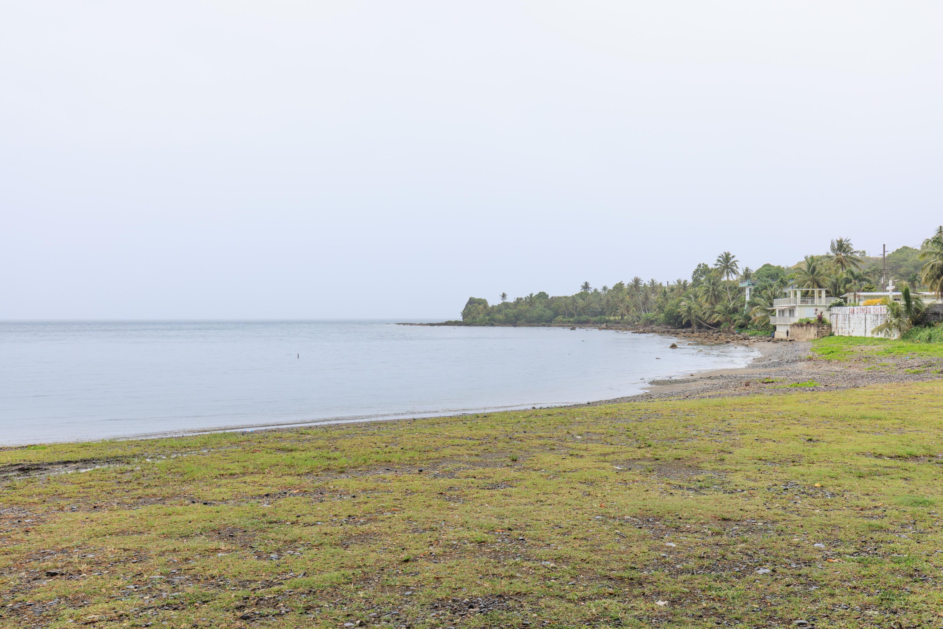
Our next stop was nearby, a 19th century Spanish fort, Fort Nuestra Señora de la Soledad. It was raining pretty hard when we arrived but we went for a quick look once the rain seemed to die down a bit. Like everywhere else, lots of green, lots of ocean!
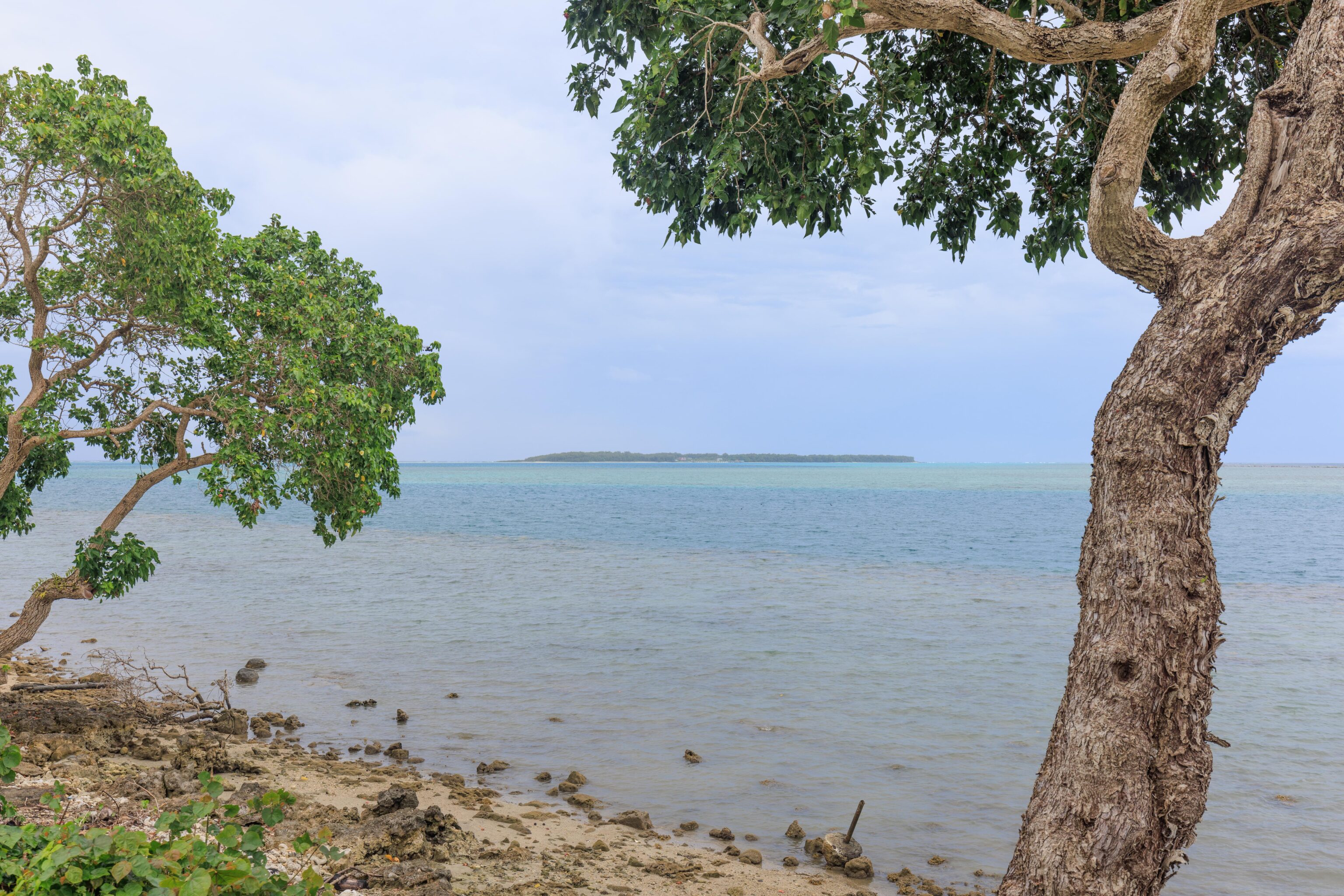
We continued driving, eventually coming upon Cocos Island. This small island is a mile or so offshore and can be accessed by ferry for day trips. All the reviews for it are more than 3 years old so it seems it may still be closed due to the pandemic.
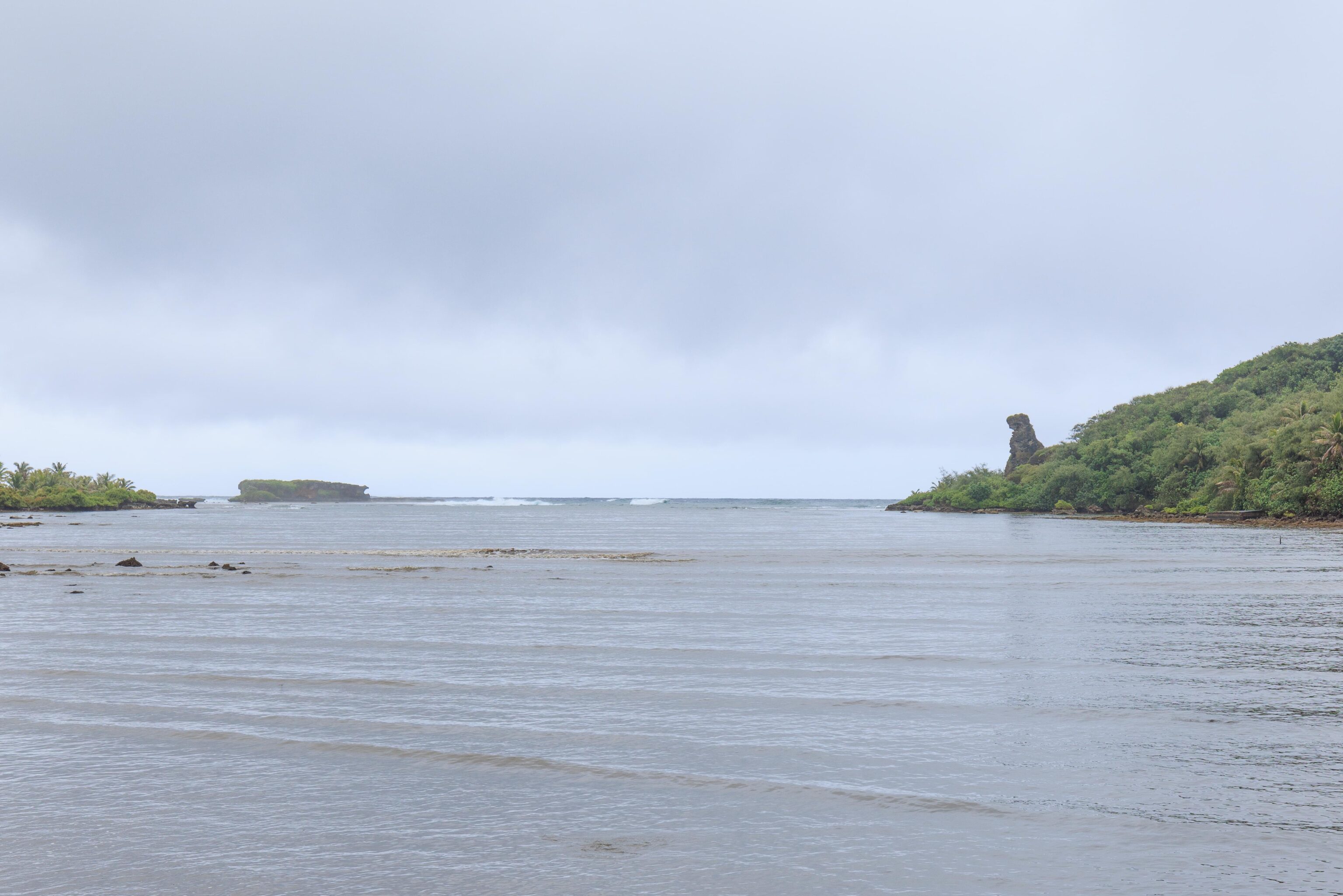
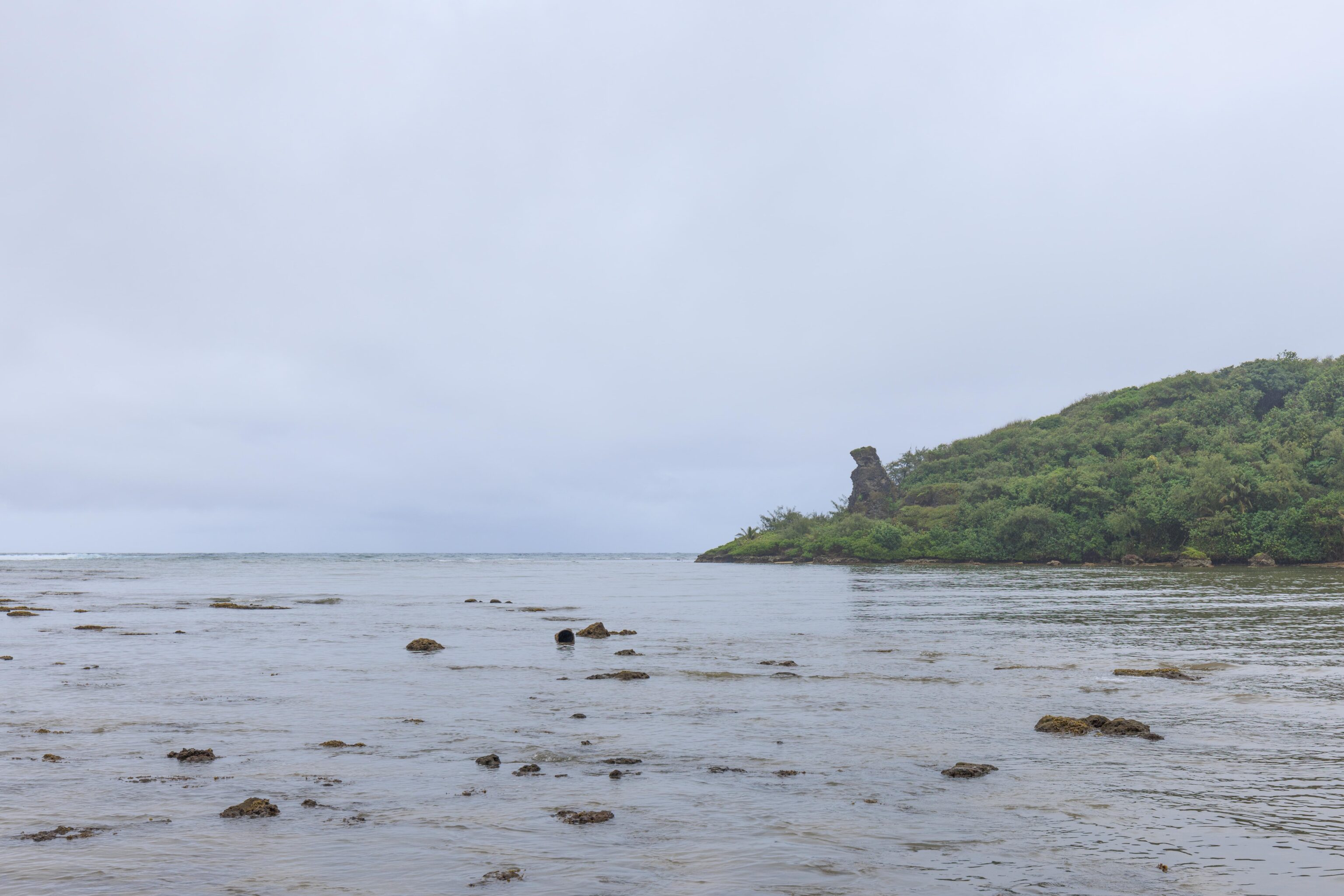
We continued past the southernmost portion of Guam and started driving north on the east side of the island. We came across this rock formation. Looks like a dinosaur to me! But it is marked on Google Maps and is searchable on Google as Bear Rock.

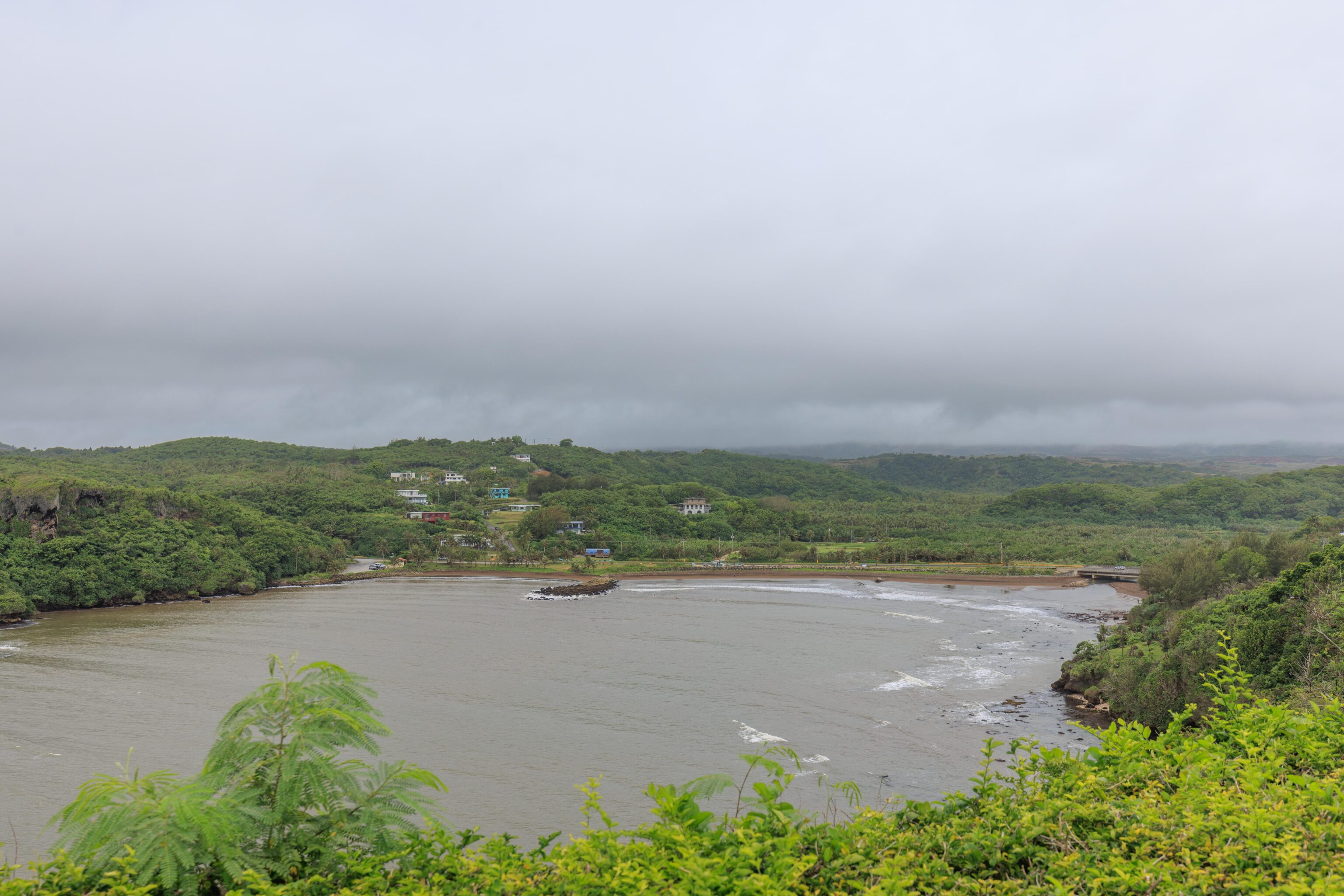
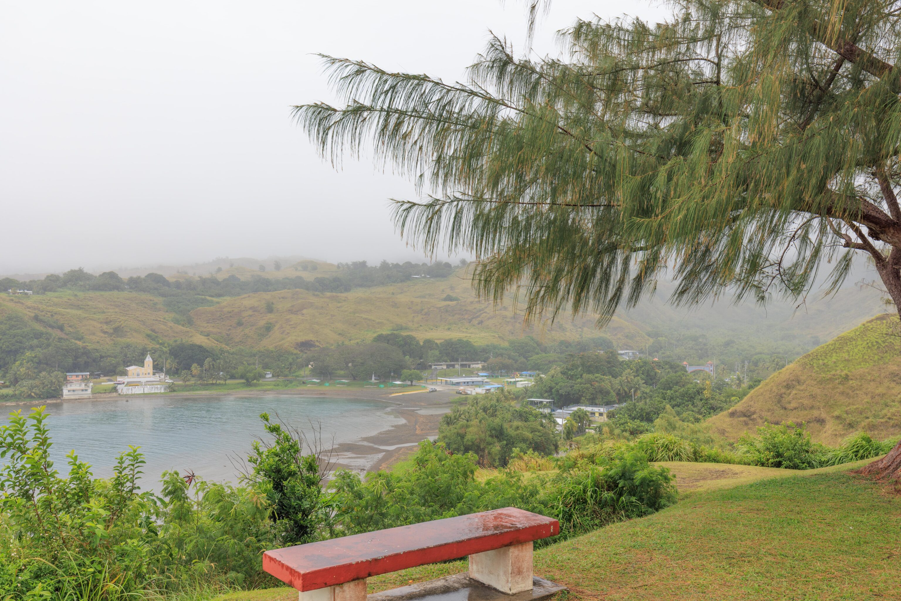
Our next stop was briefly at the Talofofo Bay Overlook where we enjoyed more views of a bay, the ocean, and the fantastic greenery everywhere.
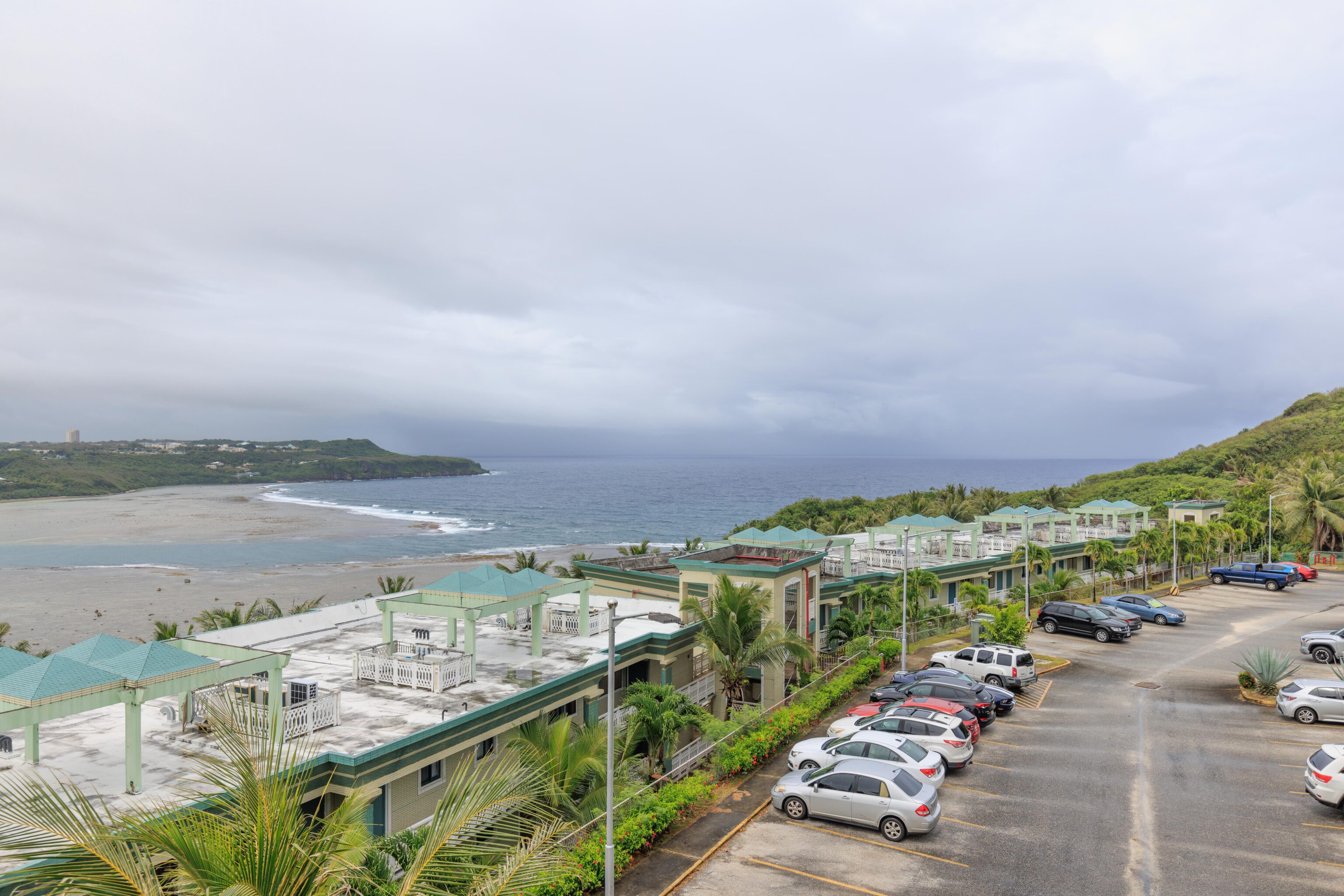
We next stopped at the Pago Bay Overlook. It does overlook a bay but also overlooks an apartment complex!
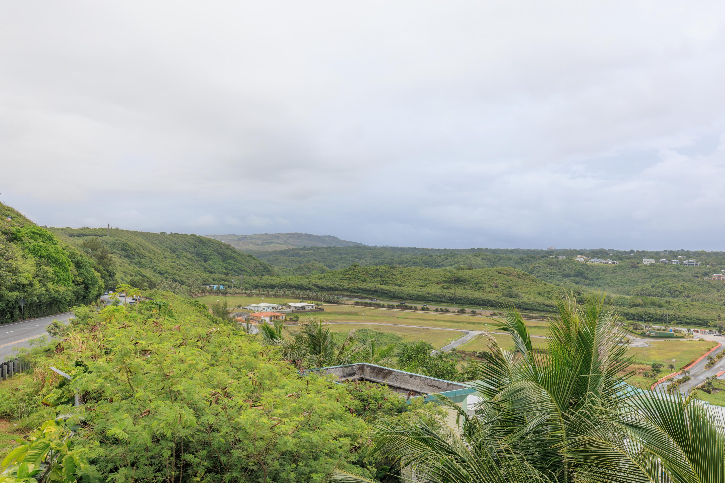
Once again, everything was very green when looking inland.
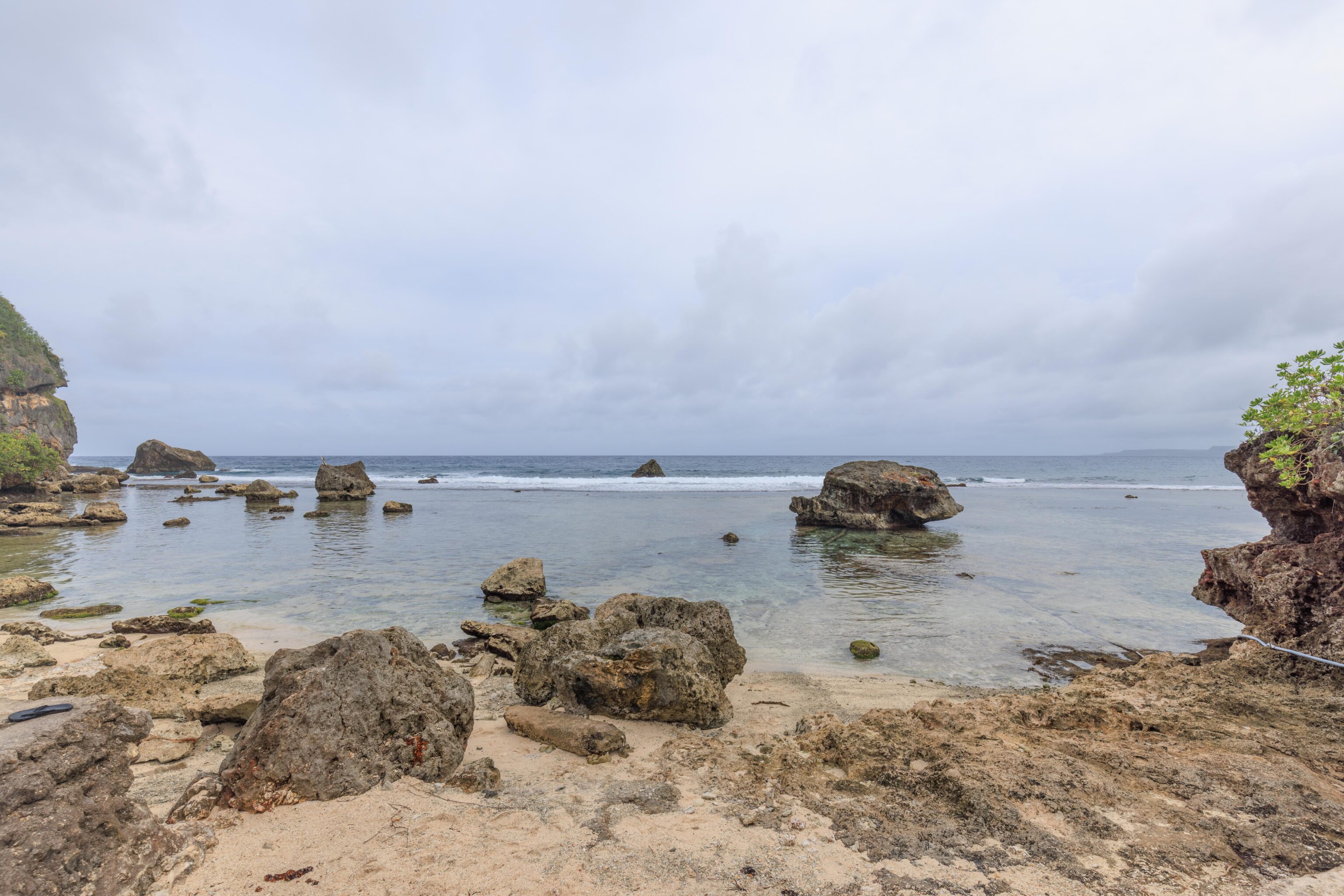
Our final stop was a rocky beach at the University of Guam. There was one person surfing and another walking their dog when we arrived.